







Hauerkogel 2491m - Längenfeld
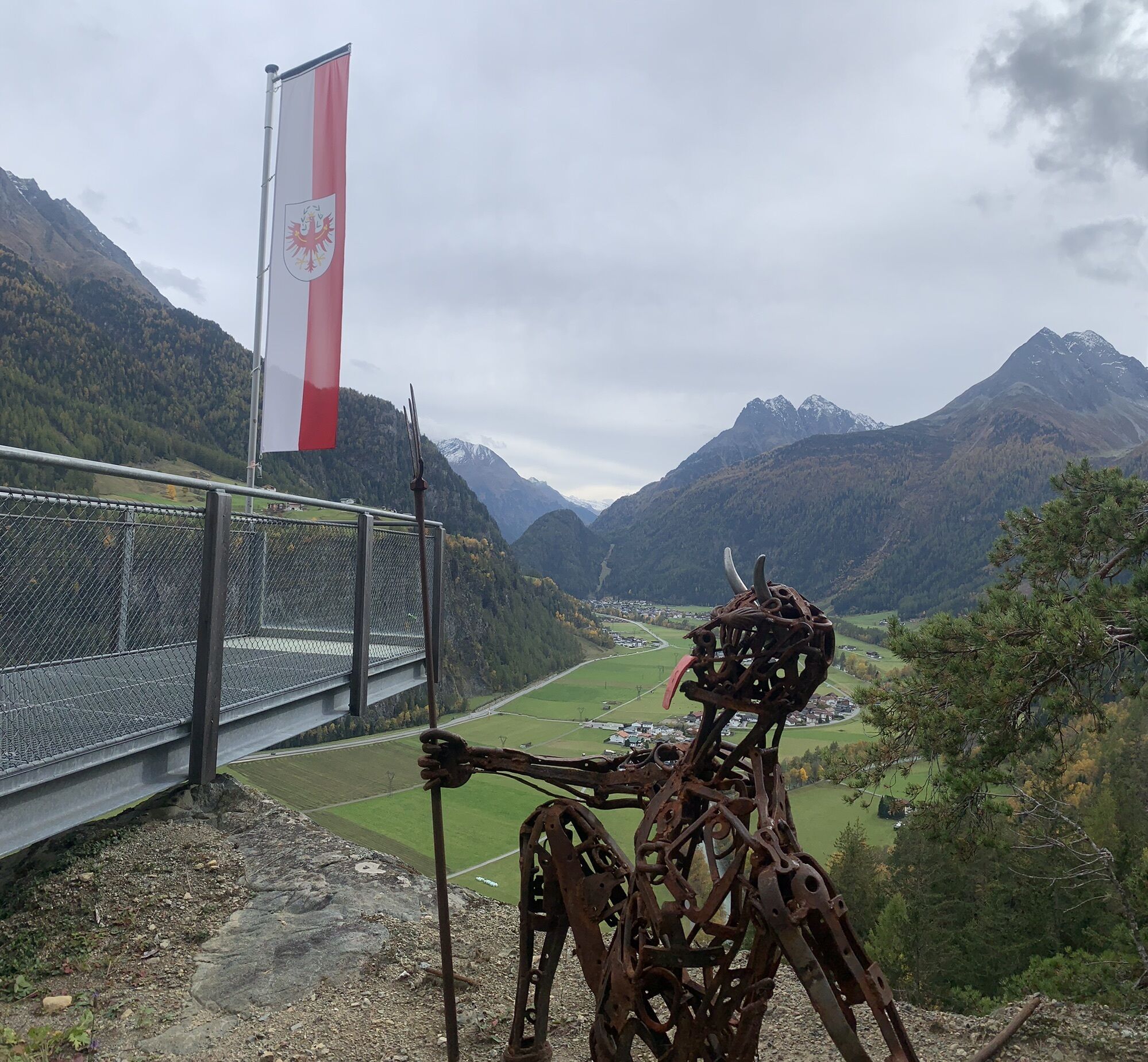
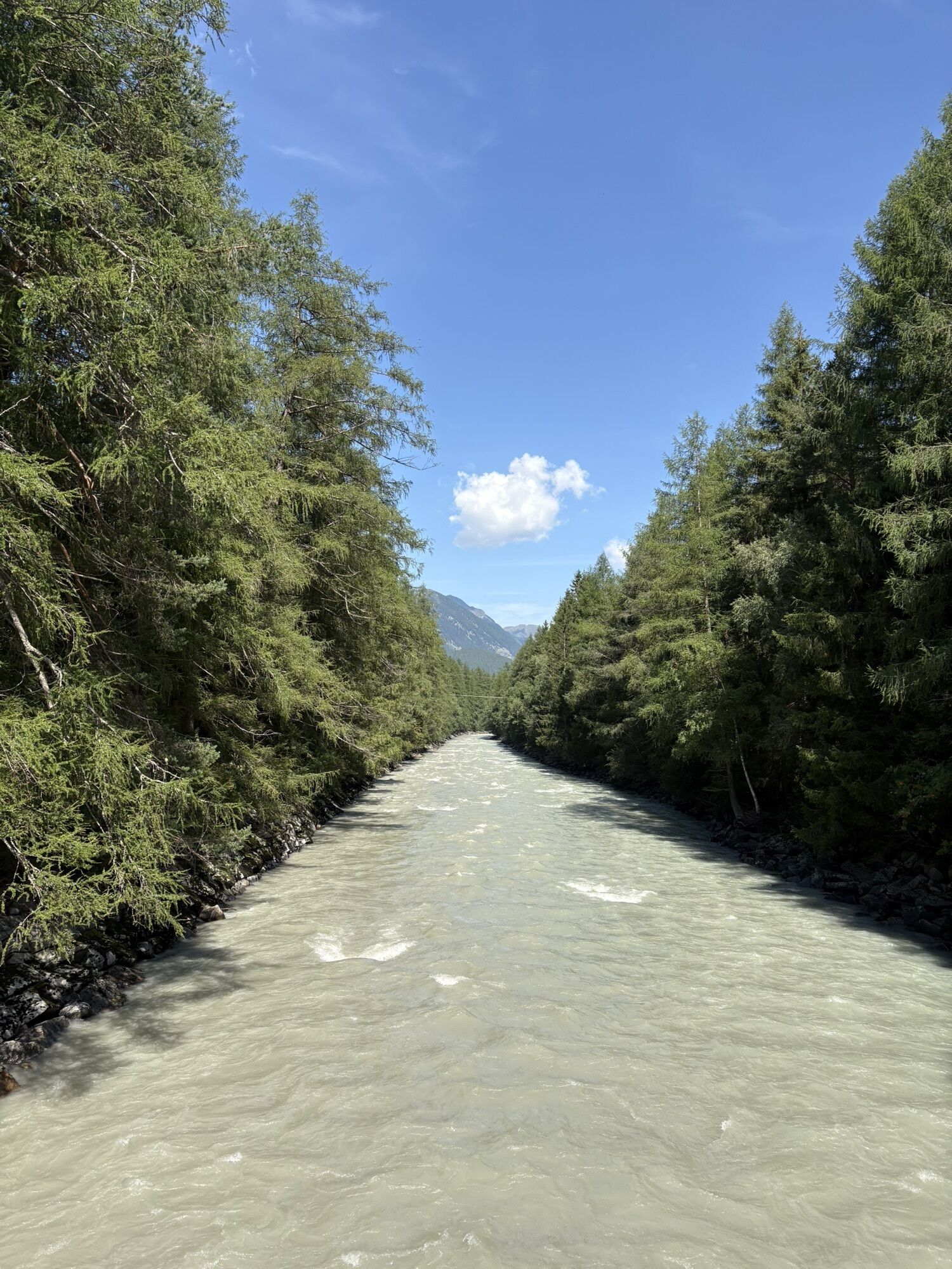
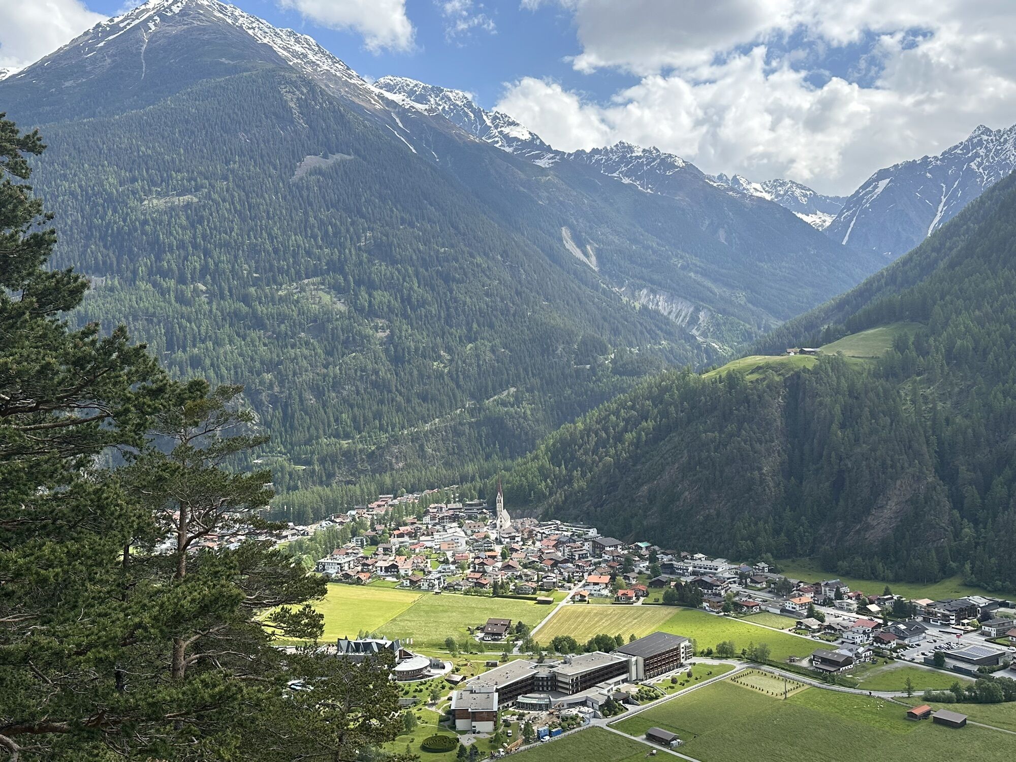
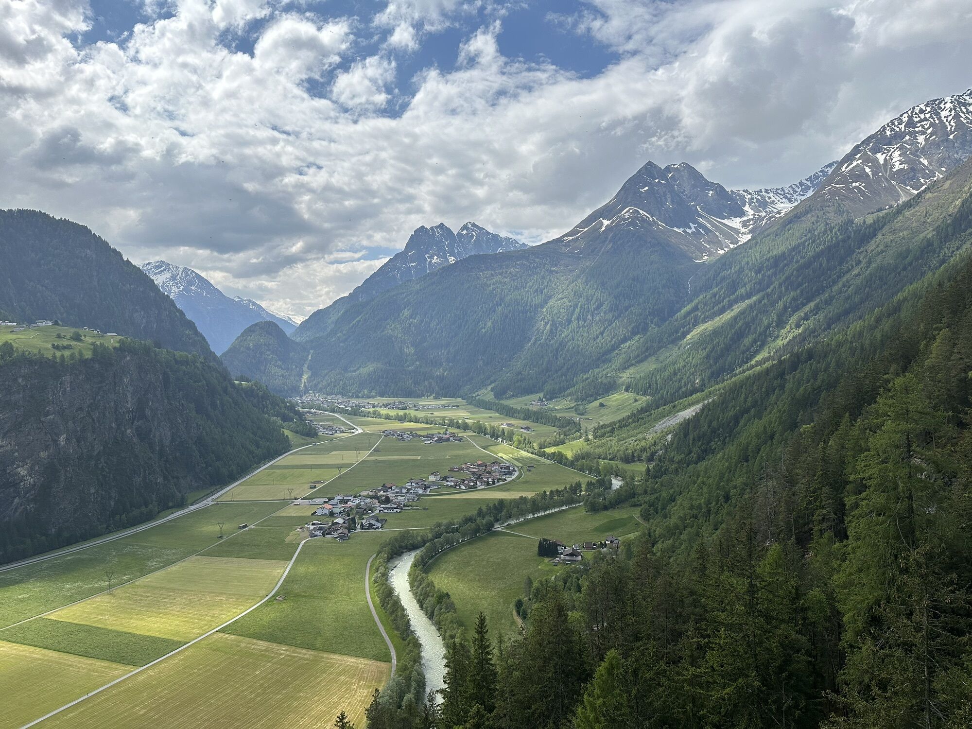
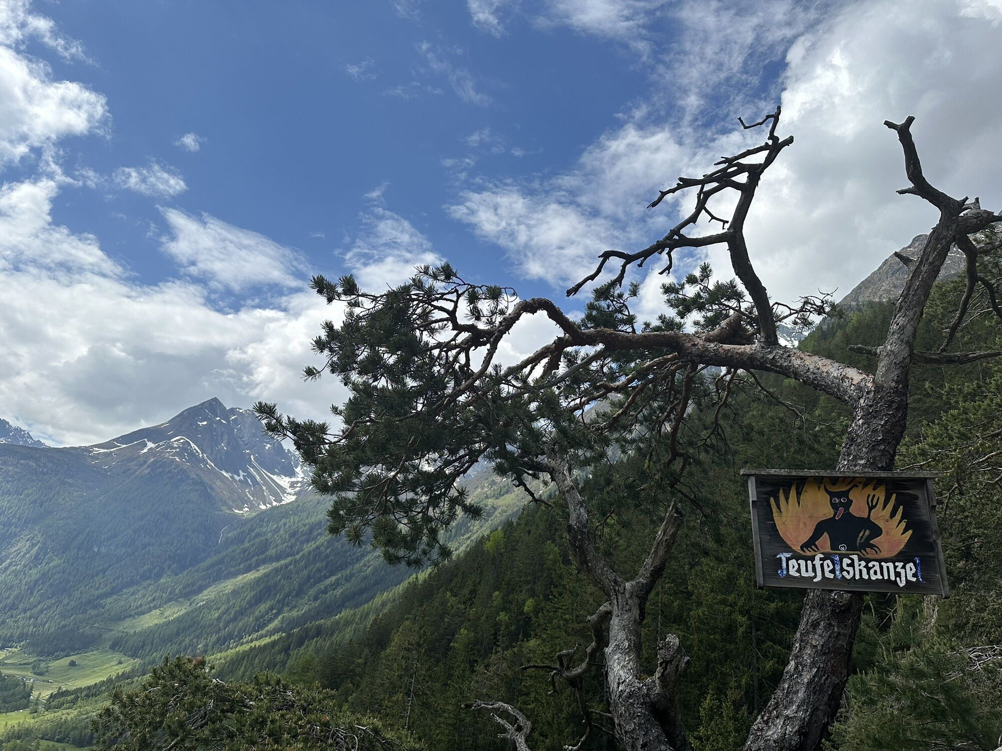
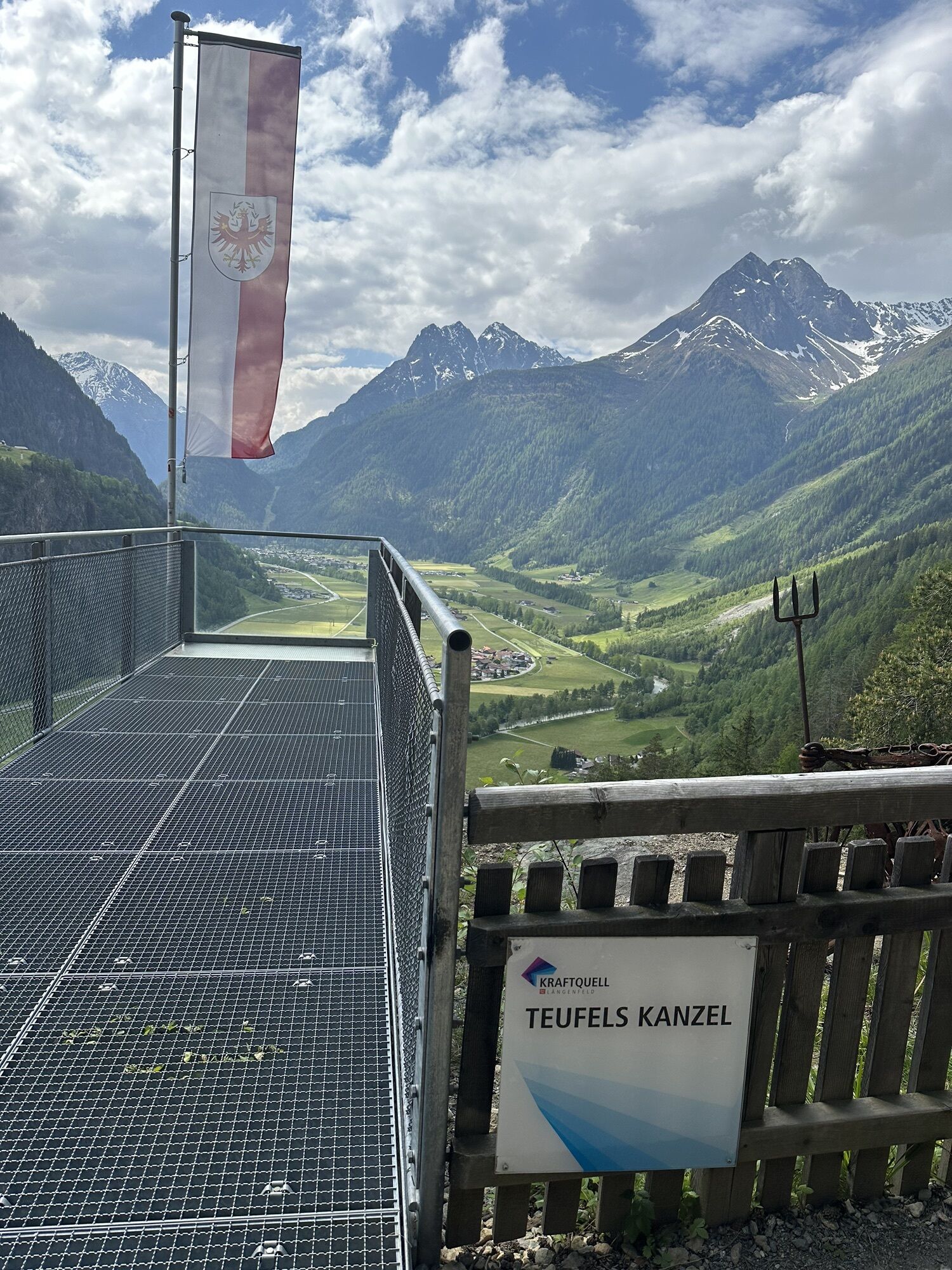
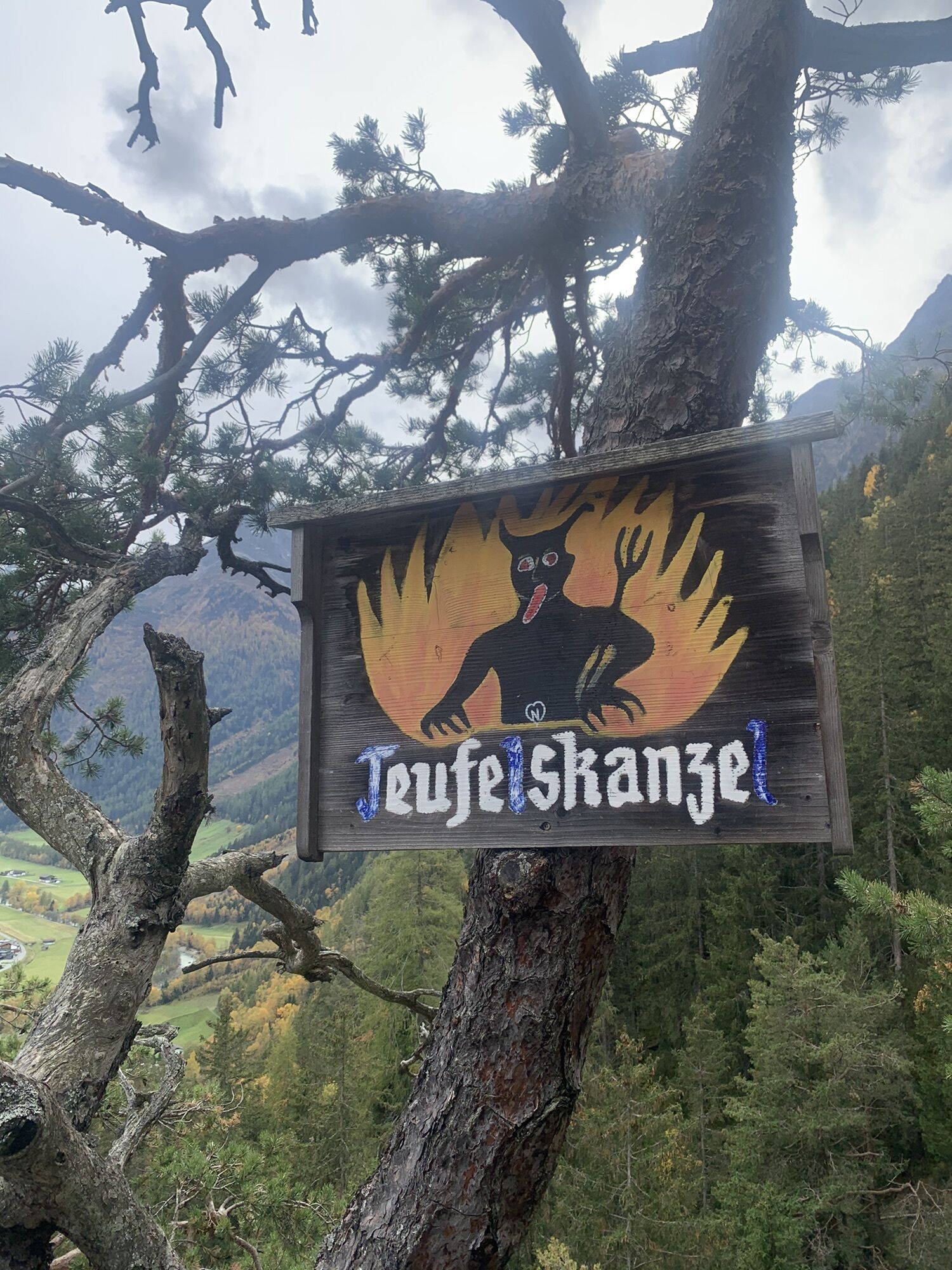
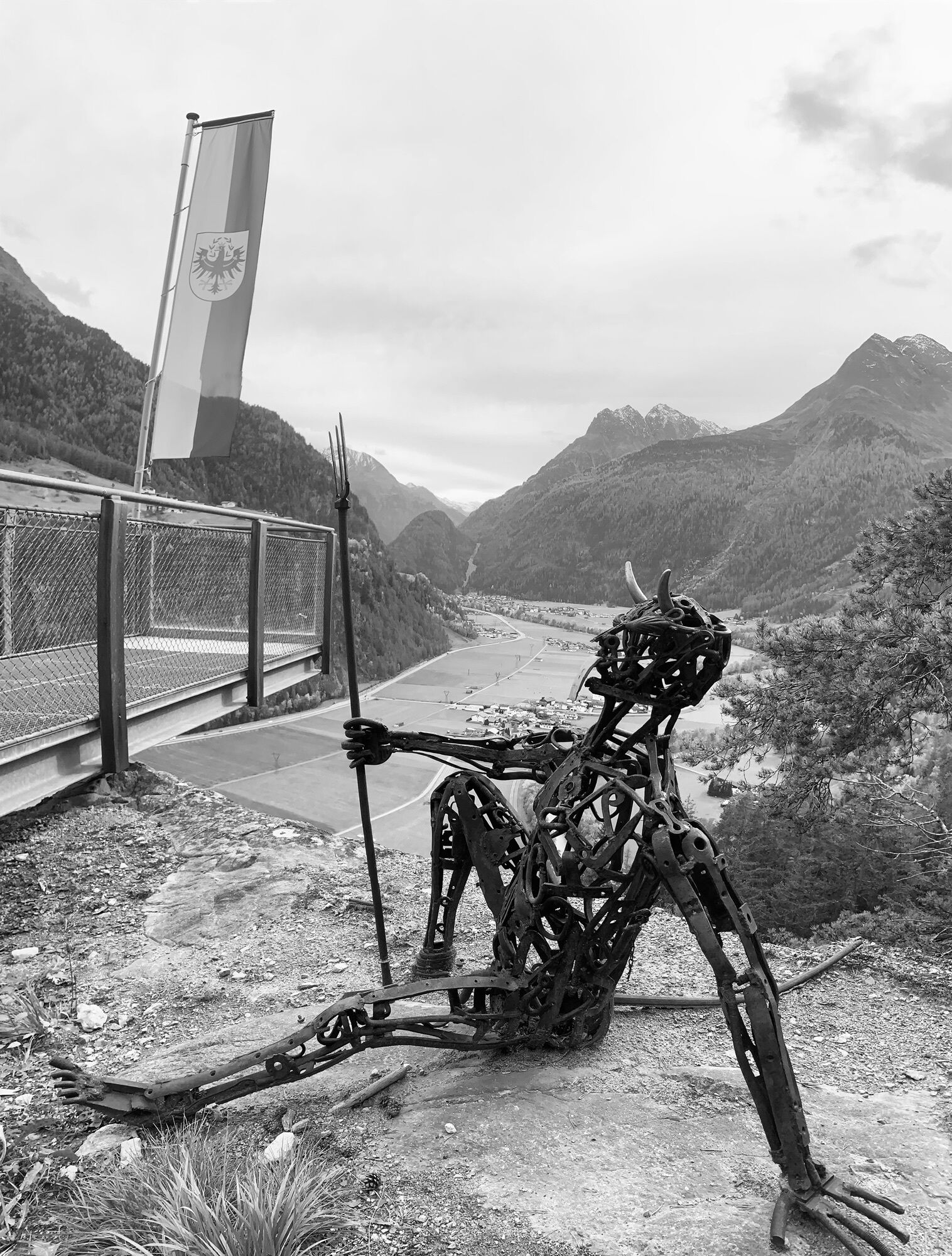
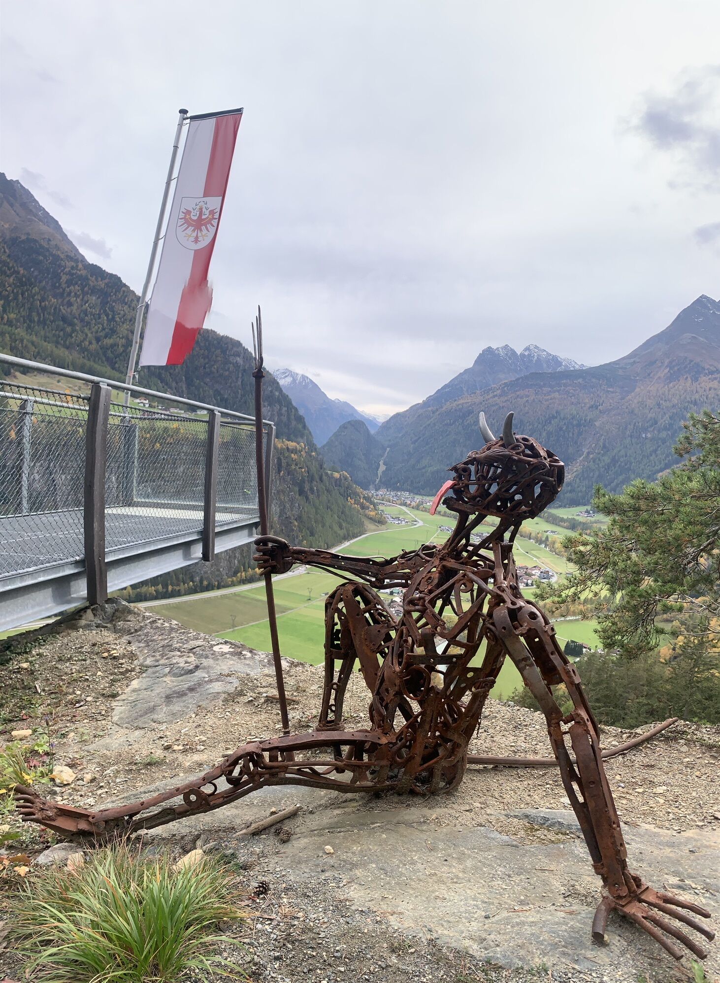
From the Fischbach bridge in the center of Längenfeld, follow the Fischbach promenade downstream to the Ötztaler Ache. Here keep right to the pedestrian bridge spanning the Ötztaler Ache. From the valley...
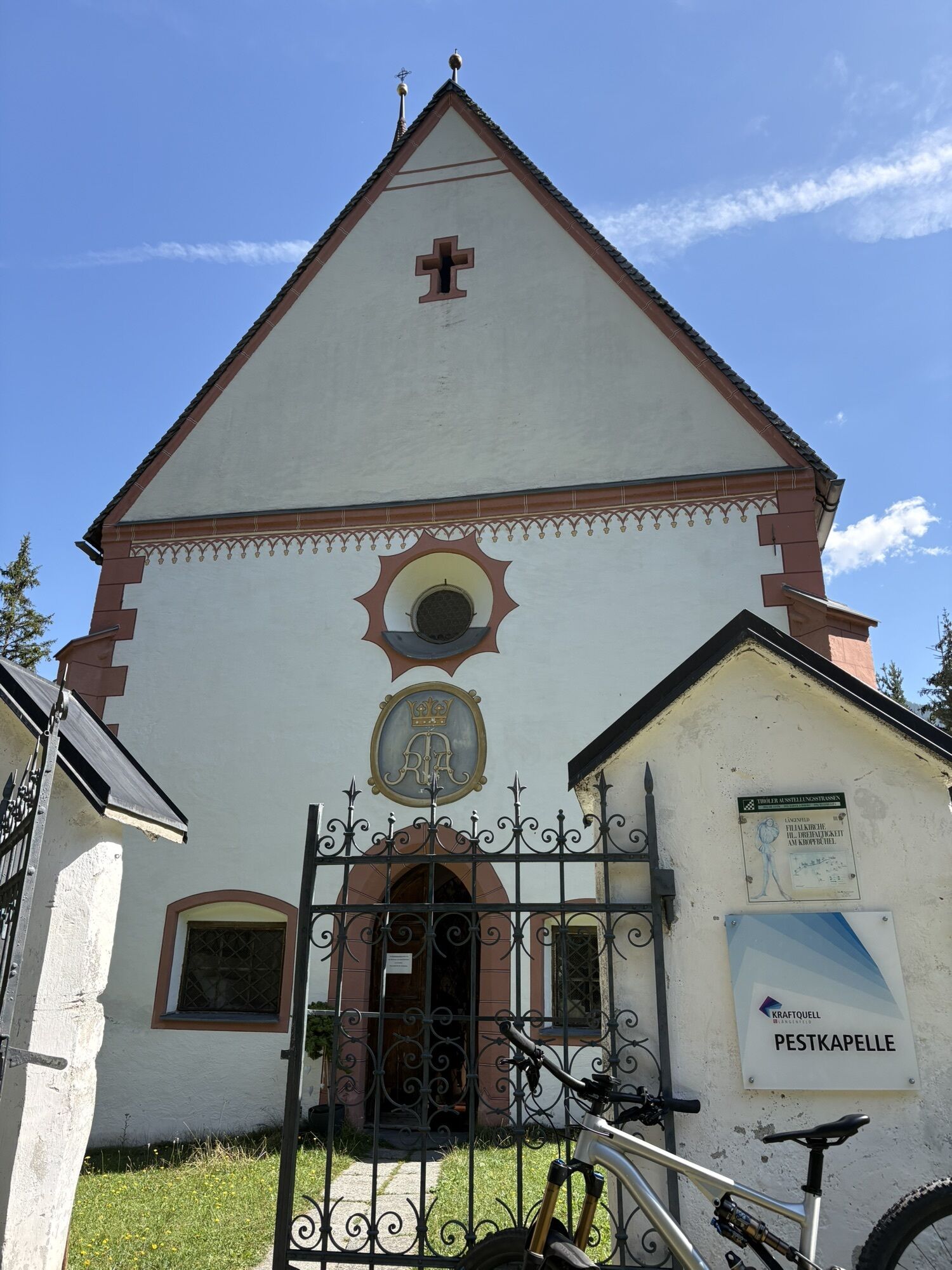
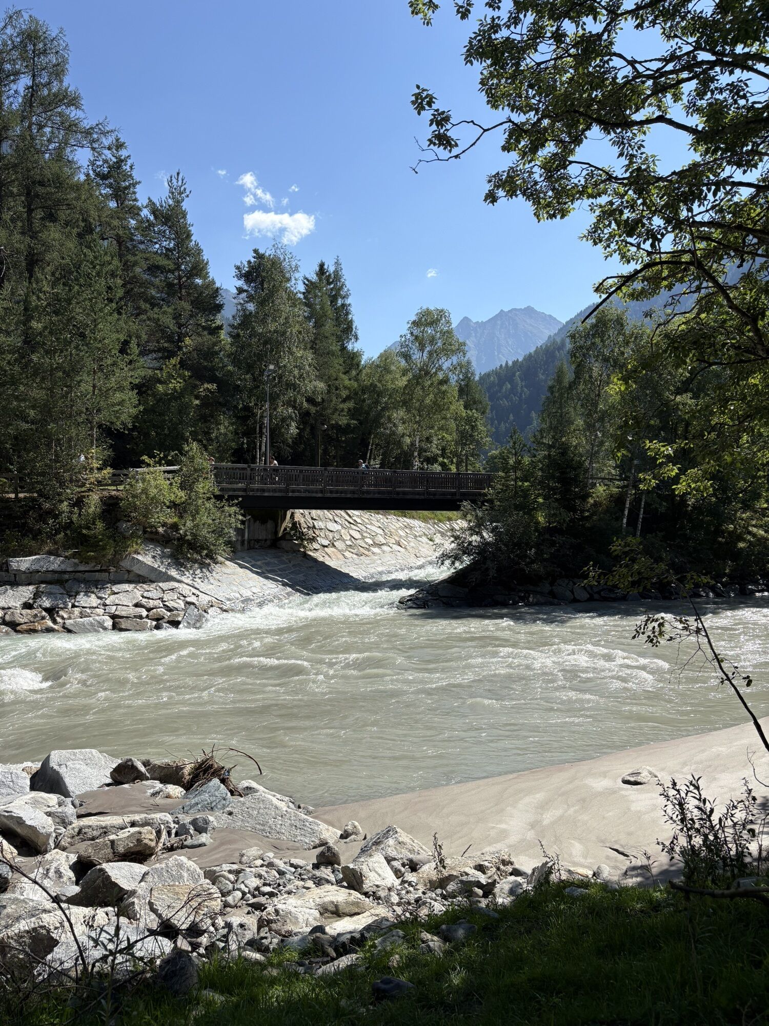
From the Fischbach bridge in the center of Längenfeld, follow the Fischbach promenade downstream to the Ötztaler Ache. Here keep right to the pedestrian bridge spanning the Ötztaler Ache. From the valley floor, it goes along a beautiful hiking trail towards Pestkapelle, always further up the slope. Slightly below Giggelberg, the path then branches off from the forest road to the west. Here it gets a bit steeper. Just above Giggelberg (nice resting place) a high plateau opens up. Continue now on the increasingly steep mountain path to the northeast exposed notch below the summit and with very easy scrambling the last 40 vertical meters to the summit with great all-around views.

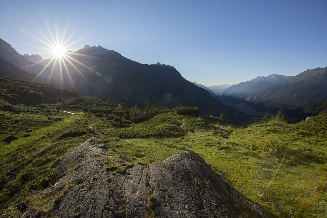
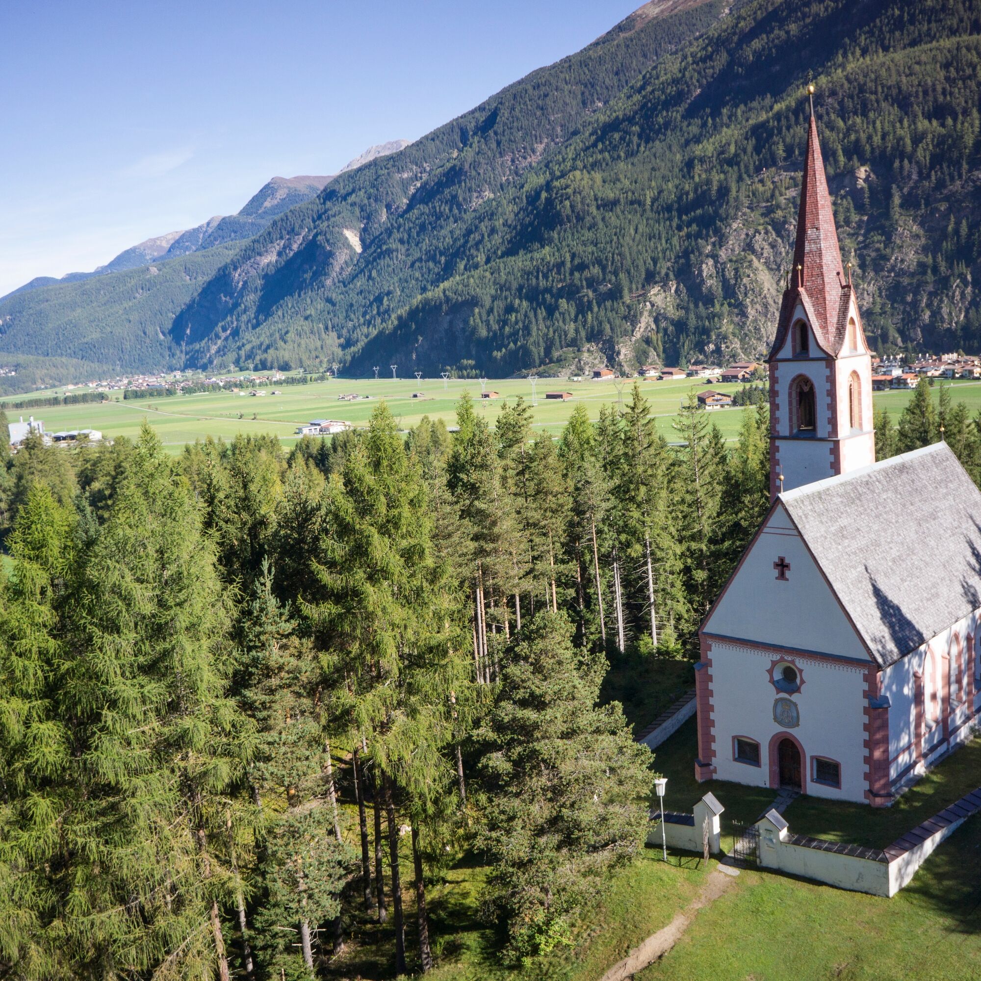
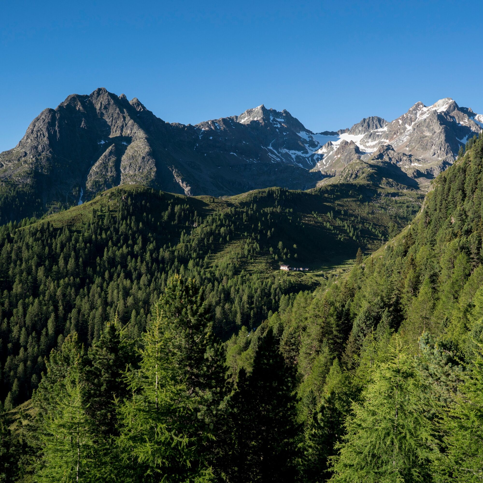

From the Fischbach bridge in Längenfeld, the path leads to the Ötztaler Ache which is crossed. Now follow the signposts to Pestkapelle, to which a slightly ascending hiking trail goes. From here, you walk a bit along the forest road, later along a steadily ascending mountain path.
The last part to the summit is via an exposed notch.
Da
Appropriate equipment such as breathable and weather-appropriate outdoor clothing is required for all hikes and routes. Carrying a first-aid kit, a mobile phone, and possibly a hiking map, as well as sufficient provisions for hikes without a place to rest, is necessary.
Moderate mountain path; suitable for sure-footed and experienced mountain hikers; good physical condition, mountain experience and mountain equipment (see equipment) necessary. Please observe the current weather report.
The car trip to ÖTZTAL
Traveling by car leads vacationers through the Inn valley to the valley entrance and further along the Ötztal. In addition to the toll motorway, country roads can also be used. With the route planner you can determine your drive quickly and conveniently. To the route planner: https://www.google.at/maps
Public transport
Travel comfortably and safely by train. The final station or stop is the ÖTZTAL train station. Afterwards, you travel conveniently and quickly by public bus service or local taxi companies through the entire valley to your desired destination. The current bus timetable is available at: http://fahrplan.vvt.at
The following parking options are available in Längenfeld:
Sports center – (football field and swimming pool) – free of charge opposite Ötztal Tourism (small number of parking spaces) free of chargeThe first part of the route could be very well covered by mountain bike.


Spletne kamere s turneje
Pridobite vpogled
Vedno v živo na mestu z več kot 9.500 spletnimi kamerami. bergfex Kot uporabnik Pro si lahko zdaj ogledate ustrezne spletne kamere za številne izlete v aplikaciji izleti iz. Tako si lahko neposredno ogledate trenutne razmere.
Priljubljeni izleti v okolici
-
4.7
Winnebachsee Hut – Längenfeld/Gries
srednjaPohodništvo 4.74 km -
4.7
Winter circular route Brandalm/Burgstein - Längenfeld 204
srednjaZimsko pohodništvo 5.44 km -
4.4
Hike Stuibenfall - Umhausen
svetlobaPohodništvo 2.95 km -
4.3
Stuibenfall Umhausen circular hike
svetlobaPohodništvo 9.32 km -
4.4
Rundwanderung Hängebrück3
svetlobaPohodništvo 6.32 km -
4.3
Amberger Hut - Längenfeld/Gries
srednjaPohodništvo 5.60 km -
4.3
Hohe Geige über Gawinden und den Westgrat
težkoPohodništvo 14.3 km -
4.2
Umhausen - Stuibenfall - Umhausen
srednjaPohodništvo 7.94 km -
4.6
Circular hike Bergmahderweg - Niederthai
svetlobaPohodništvo 7.60 km -
4.6
Falkaunsjoch / Kuglerte Seen
srednjaPohodništvo 16.2 km

Pohodništvo in sledenje


Ne zamudite ponudb in navdiha za naslednje počitnice
Vaš e-poštni naslov je bil dodan na poštni seznam.





