






SkiWelt Panoramic Trail
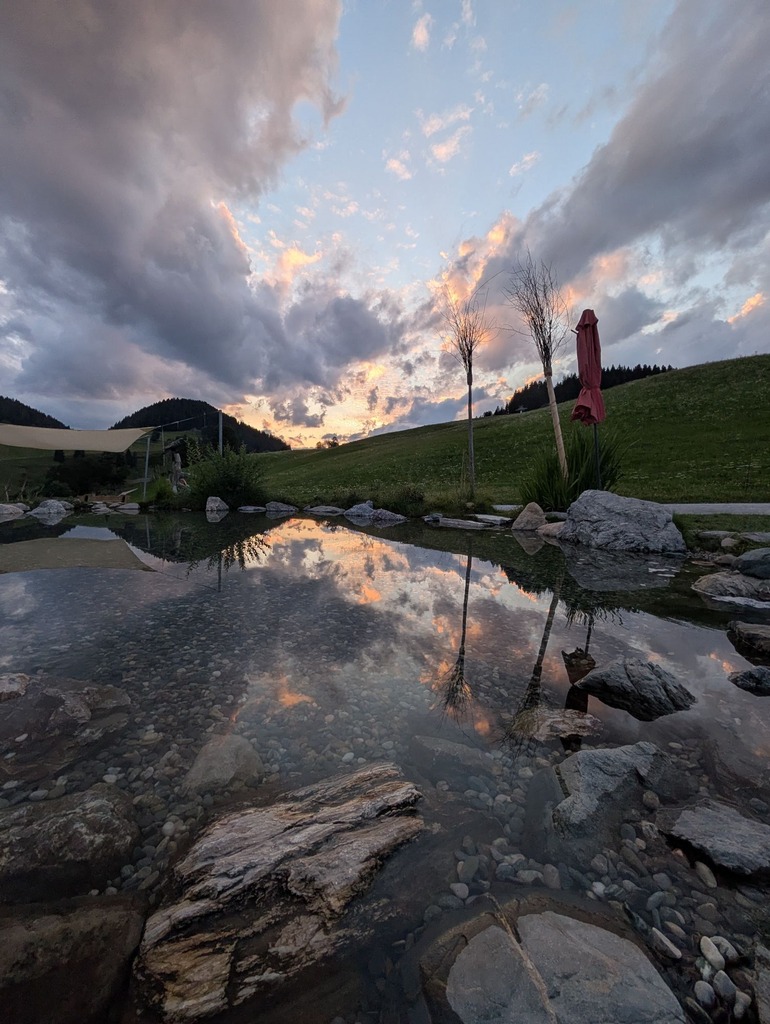
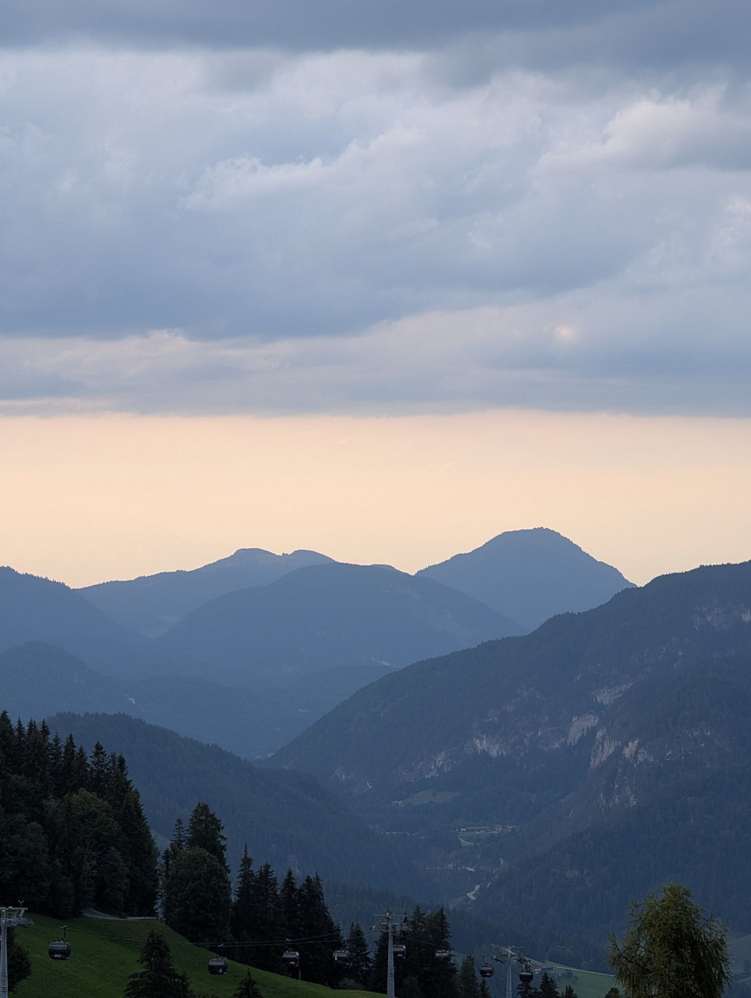
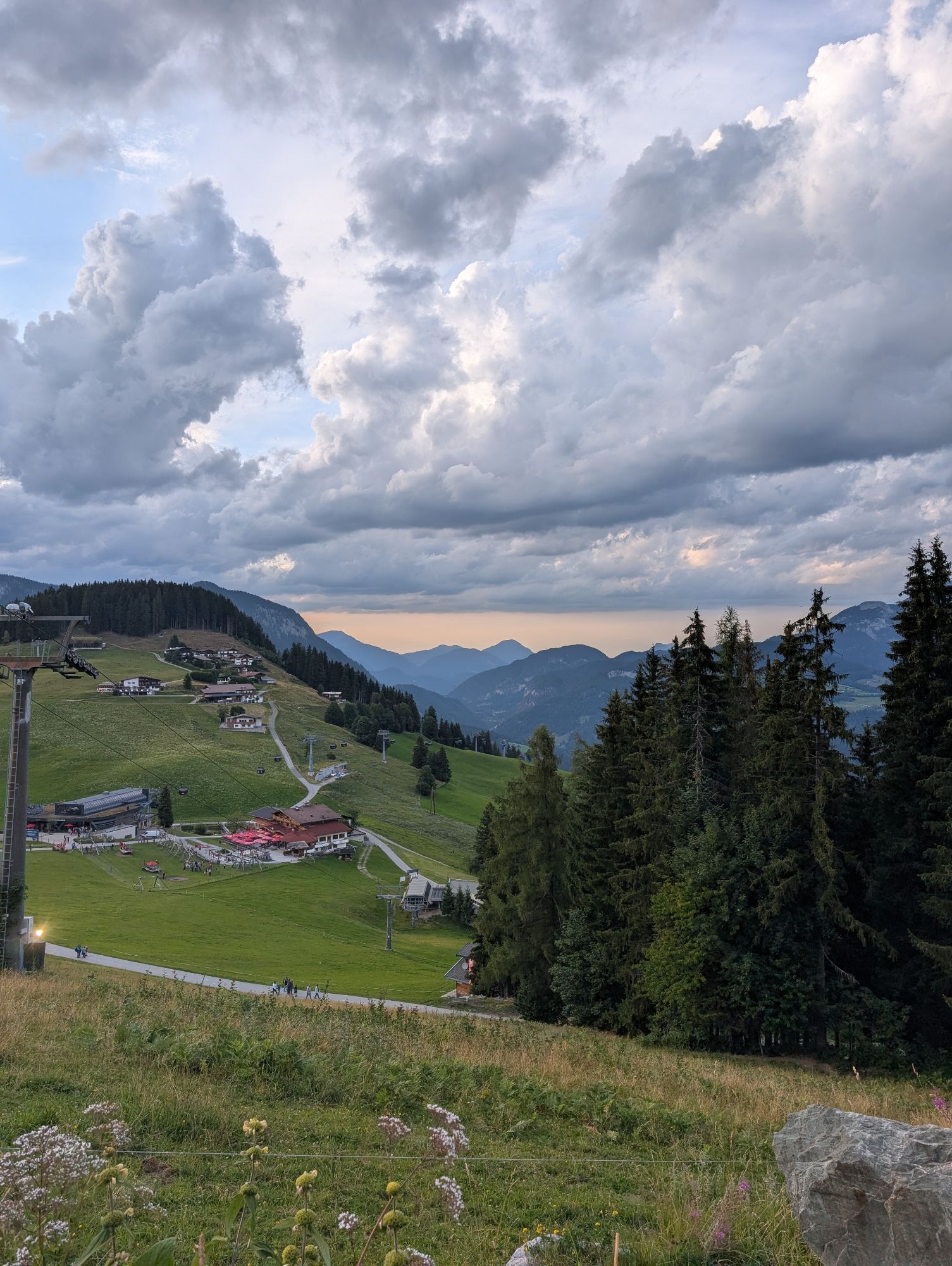
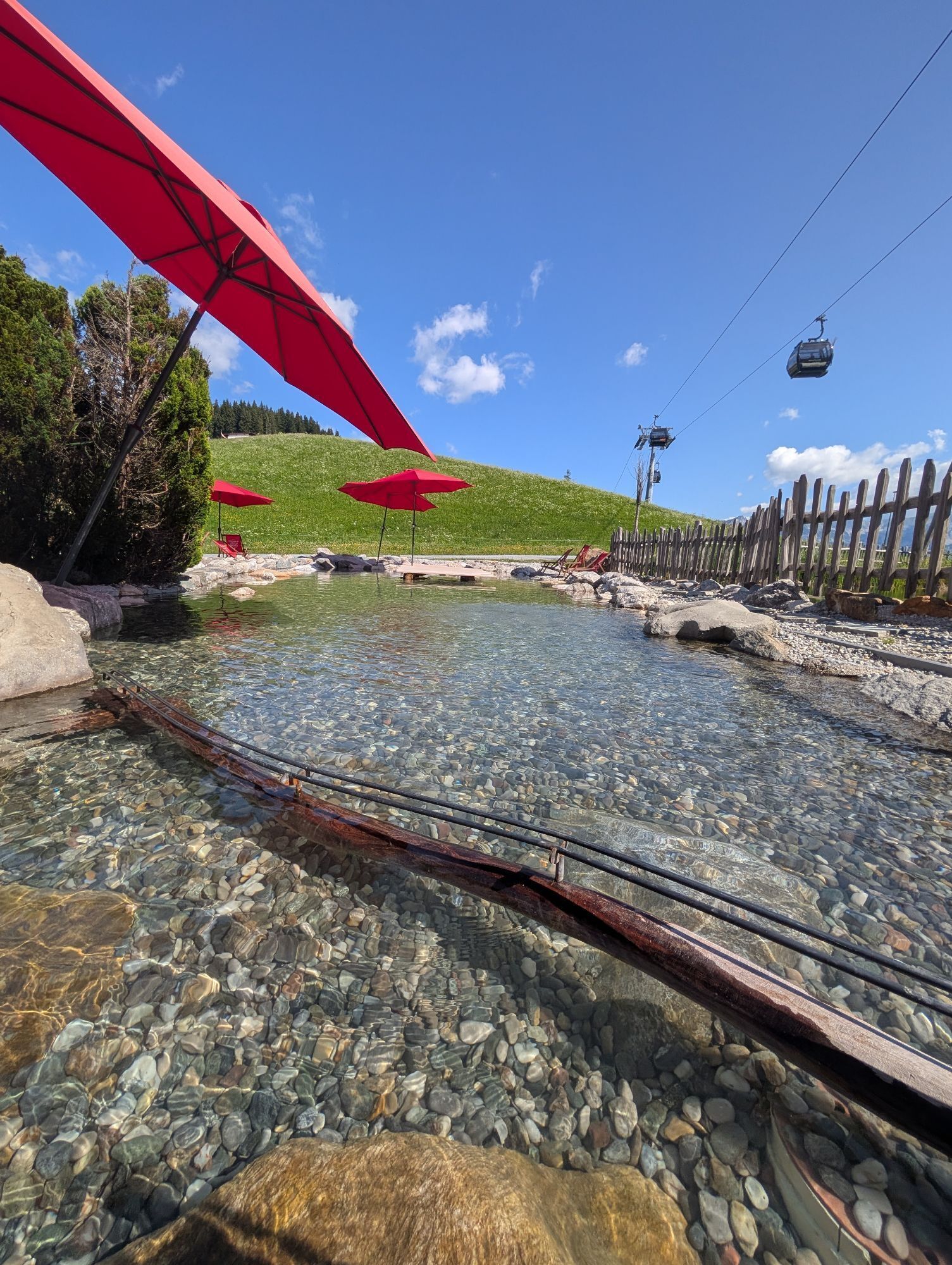
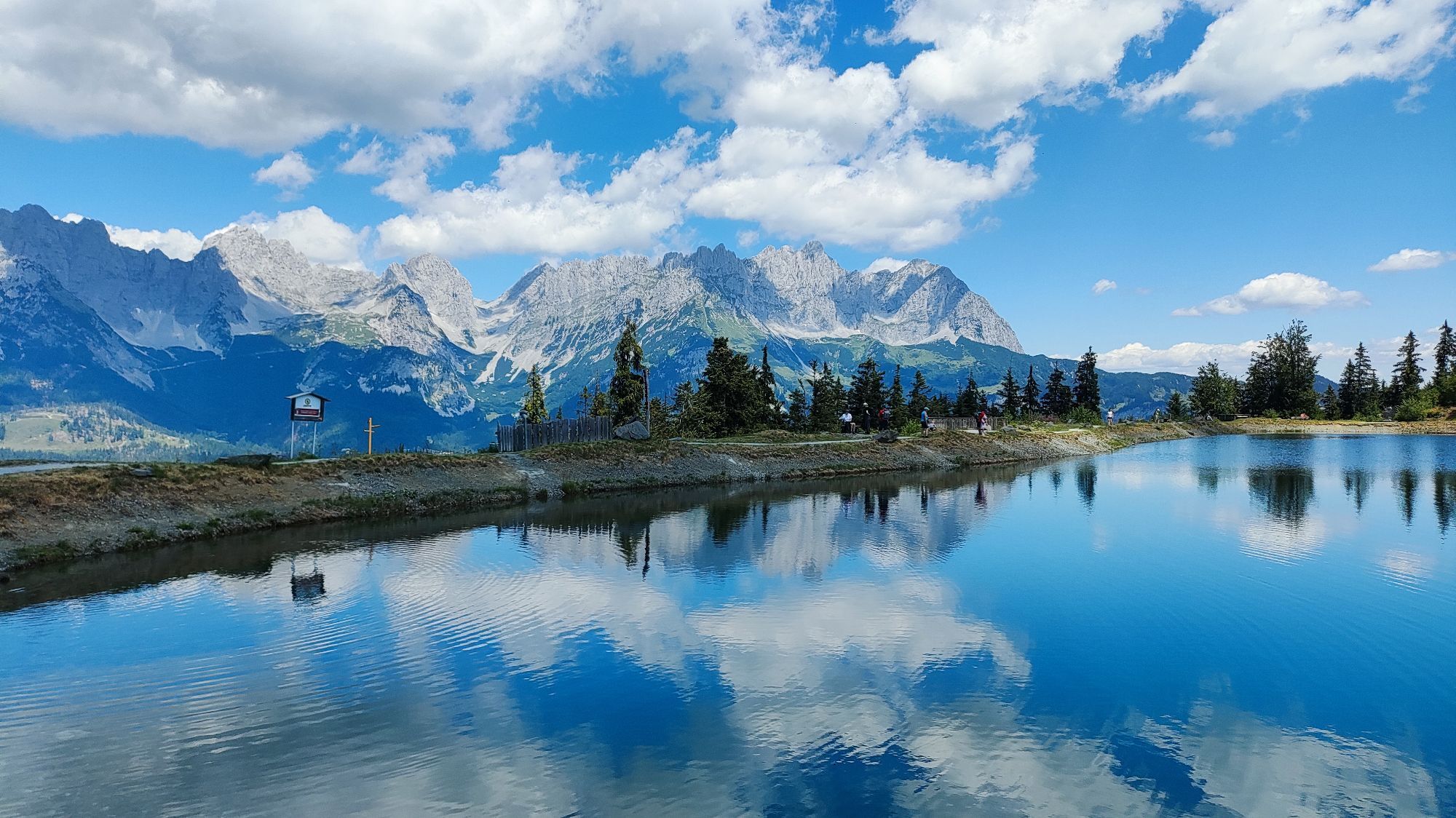
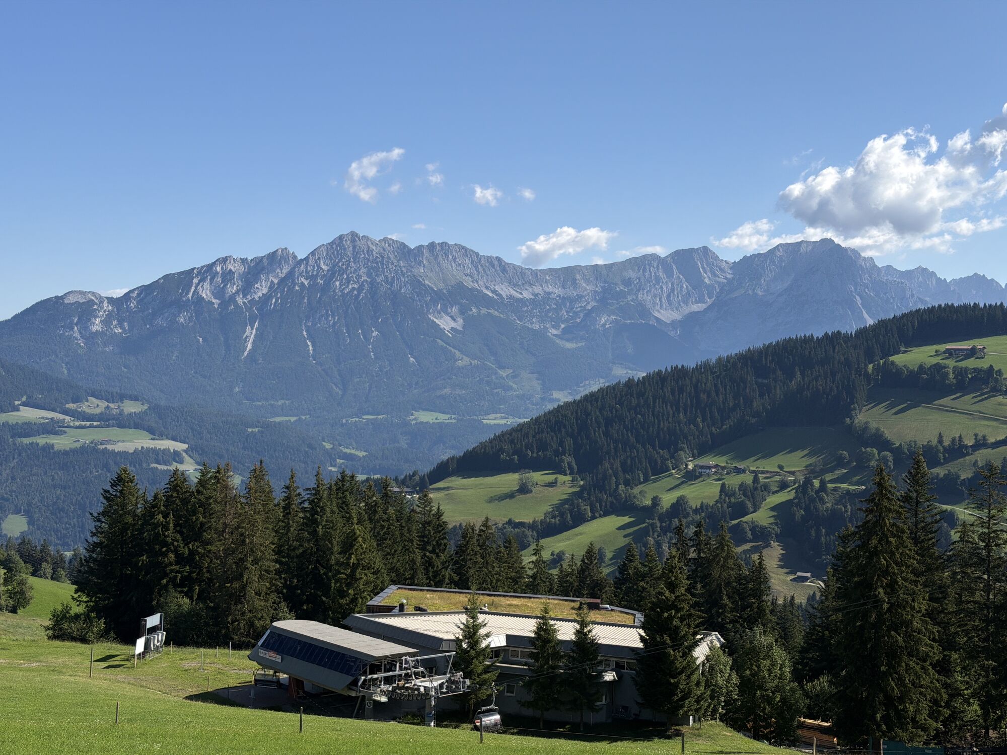
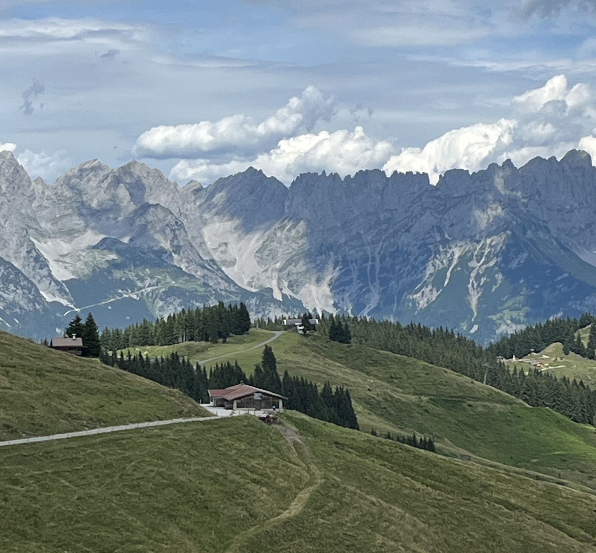
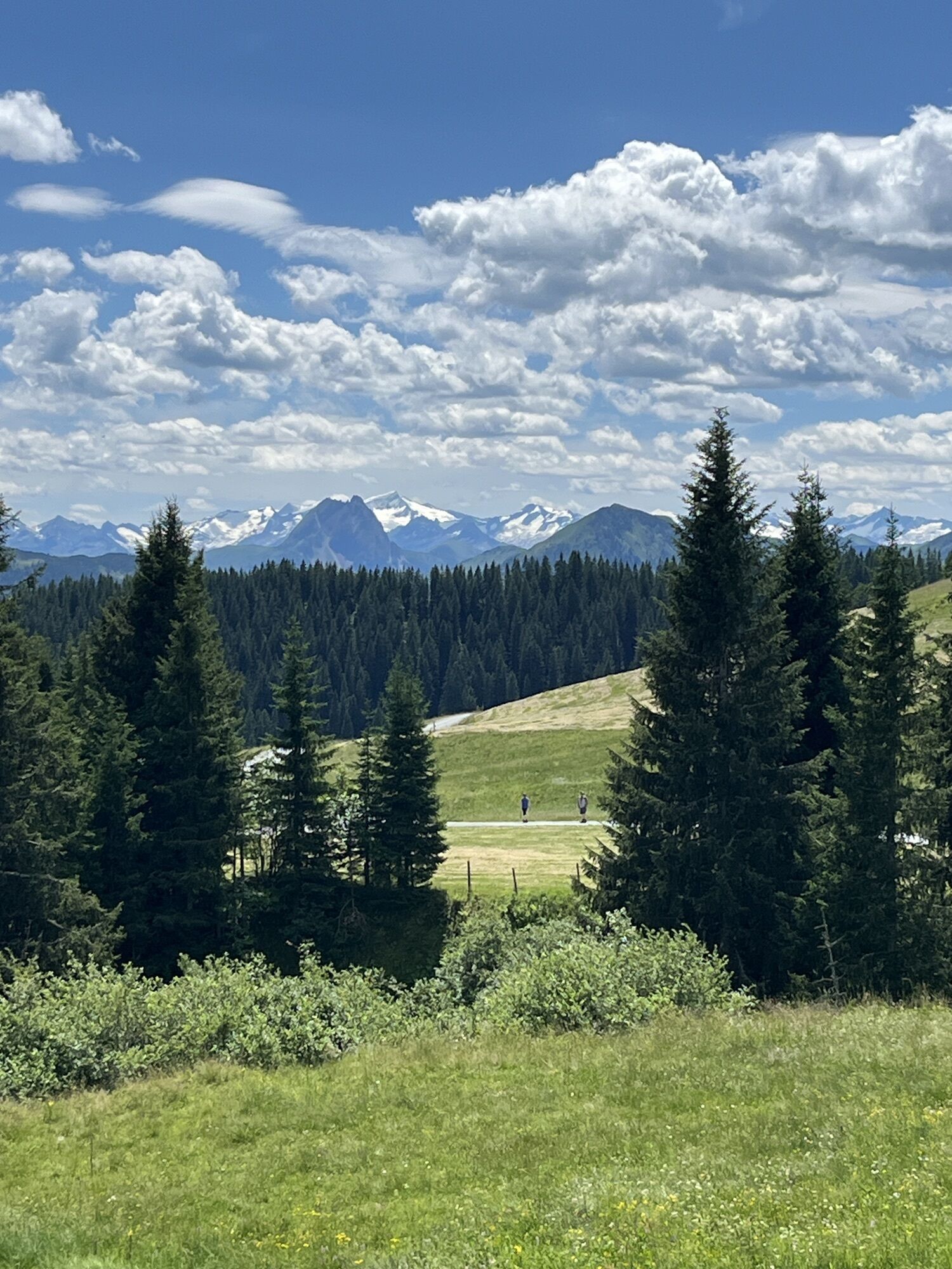
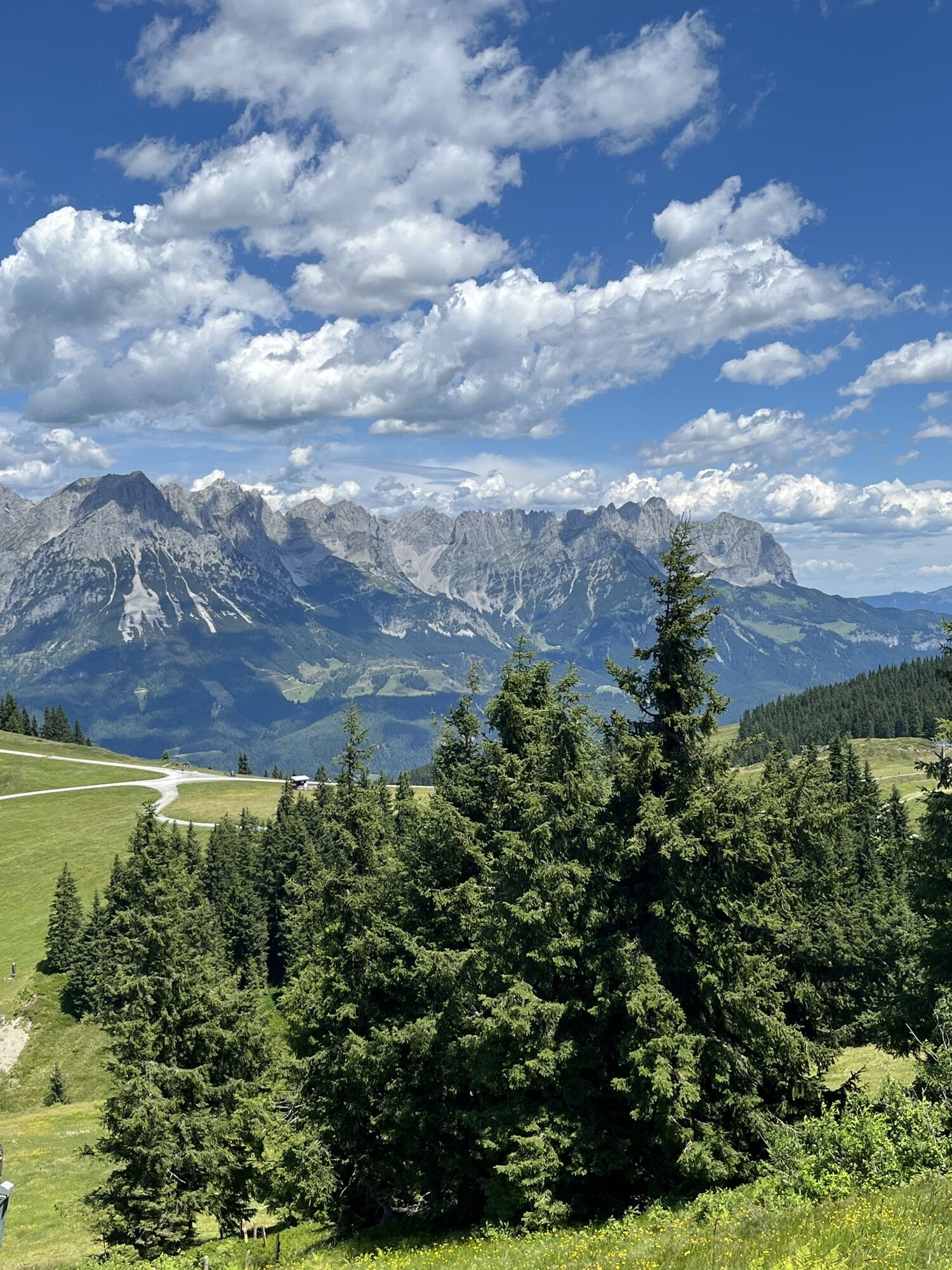
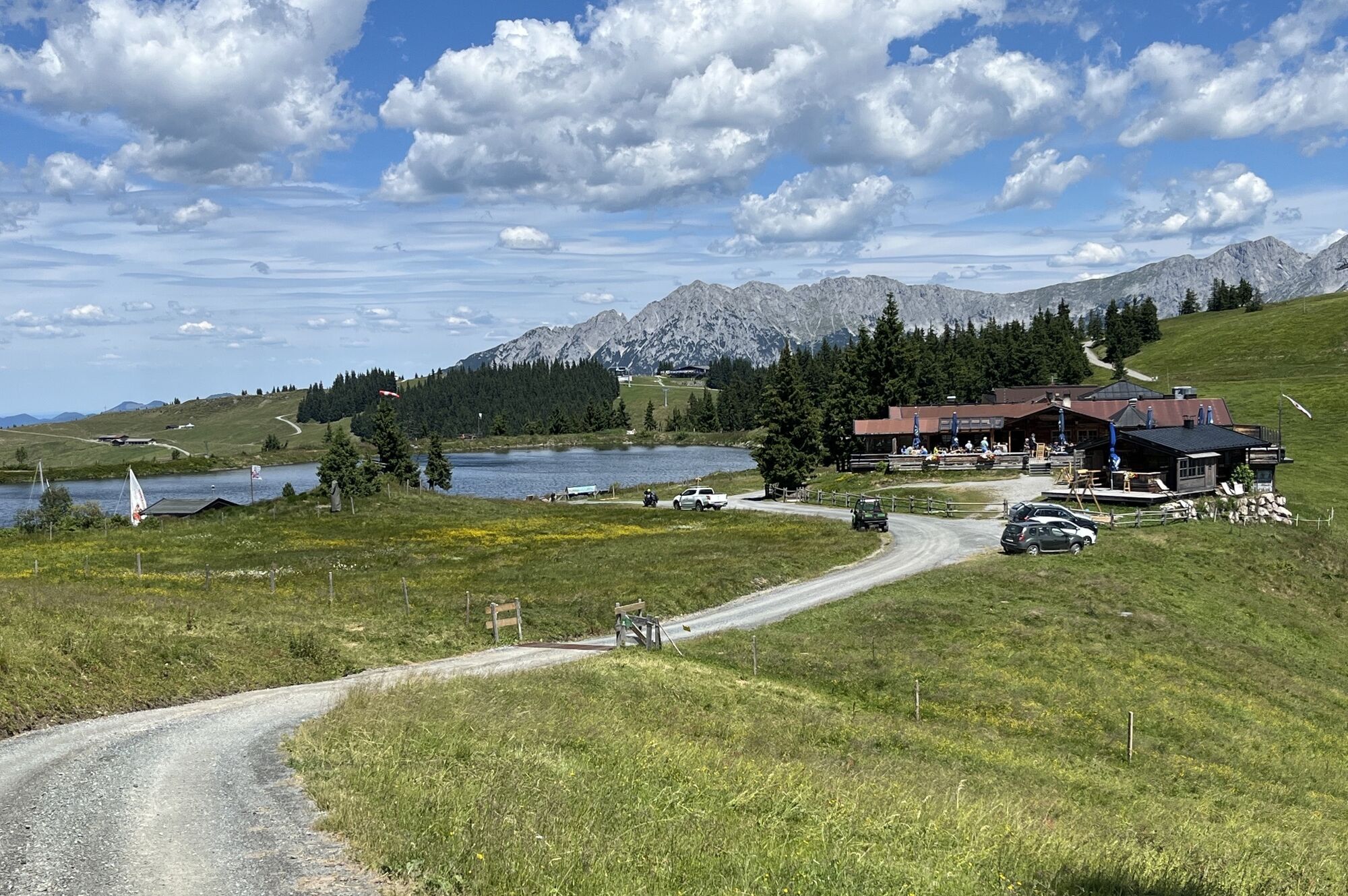
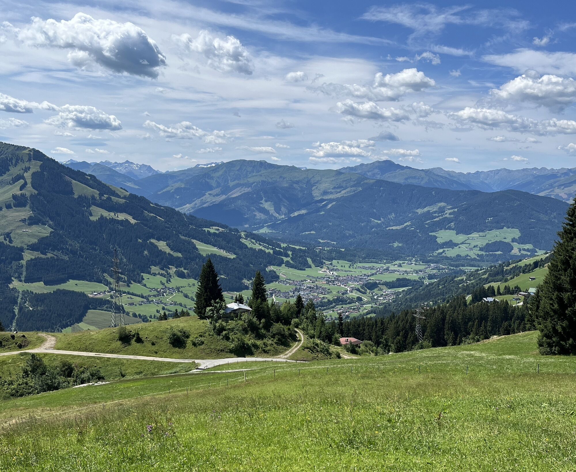
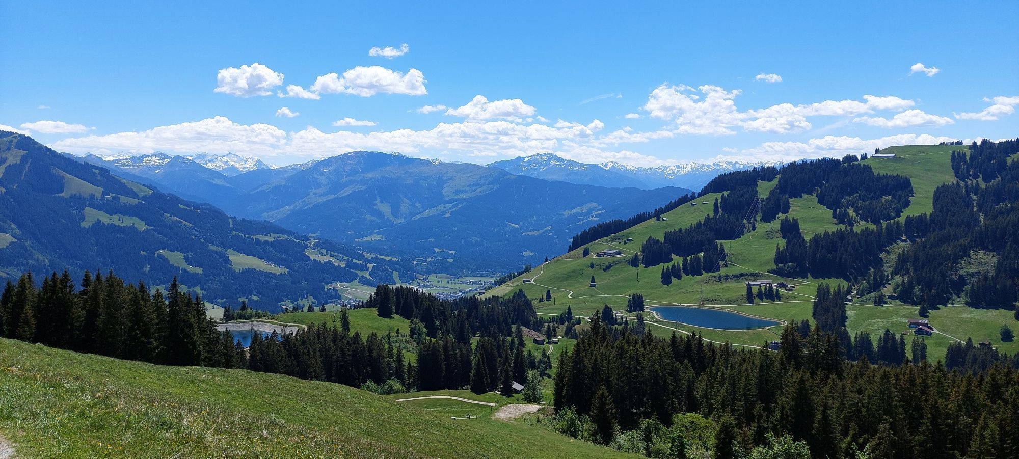
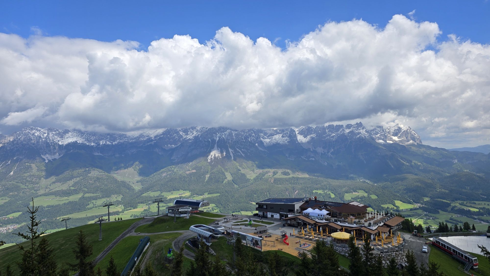


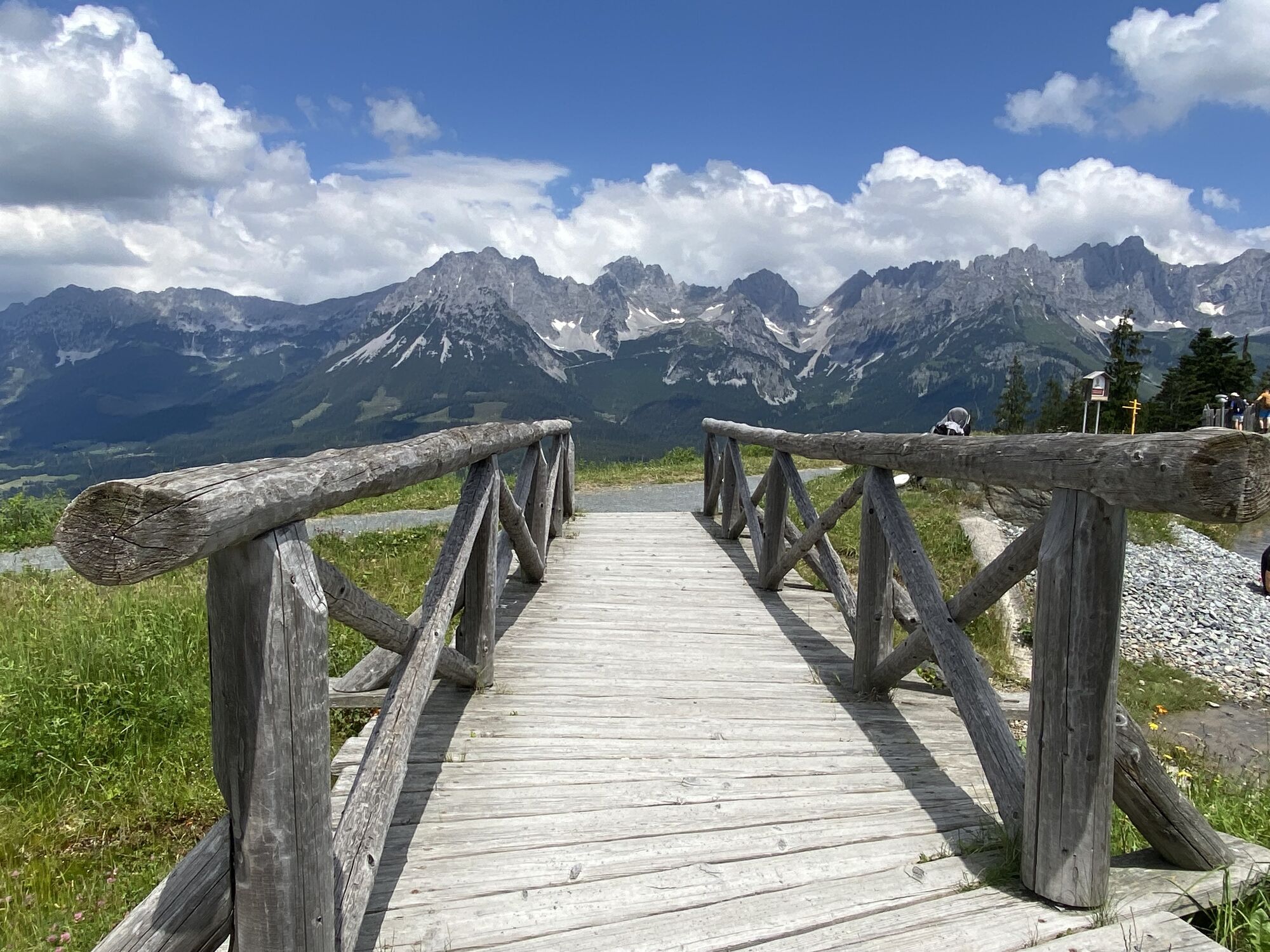
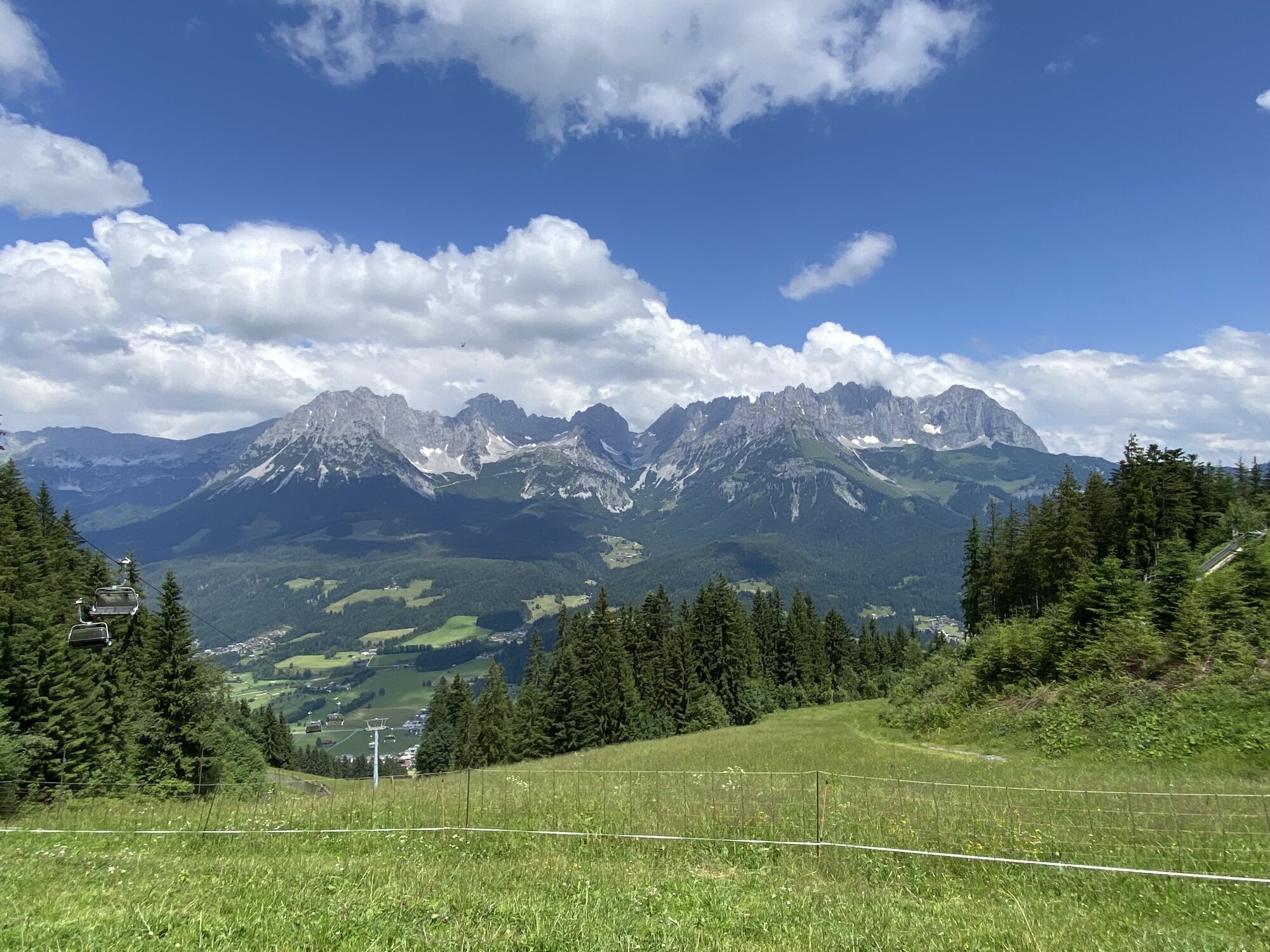
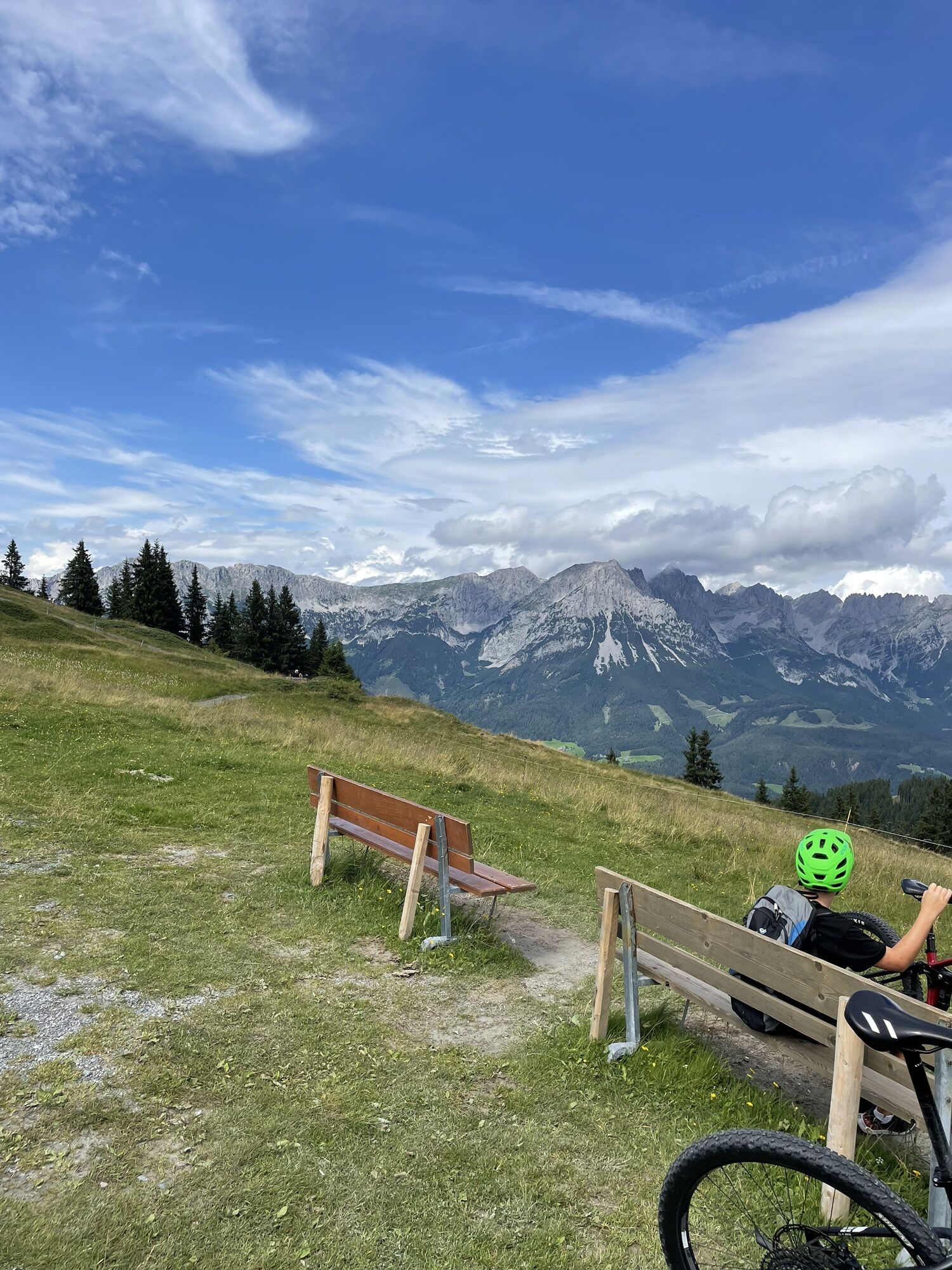
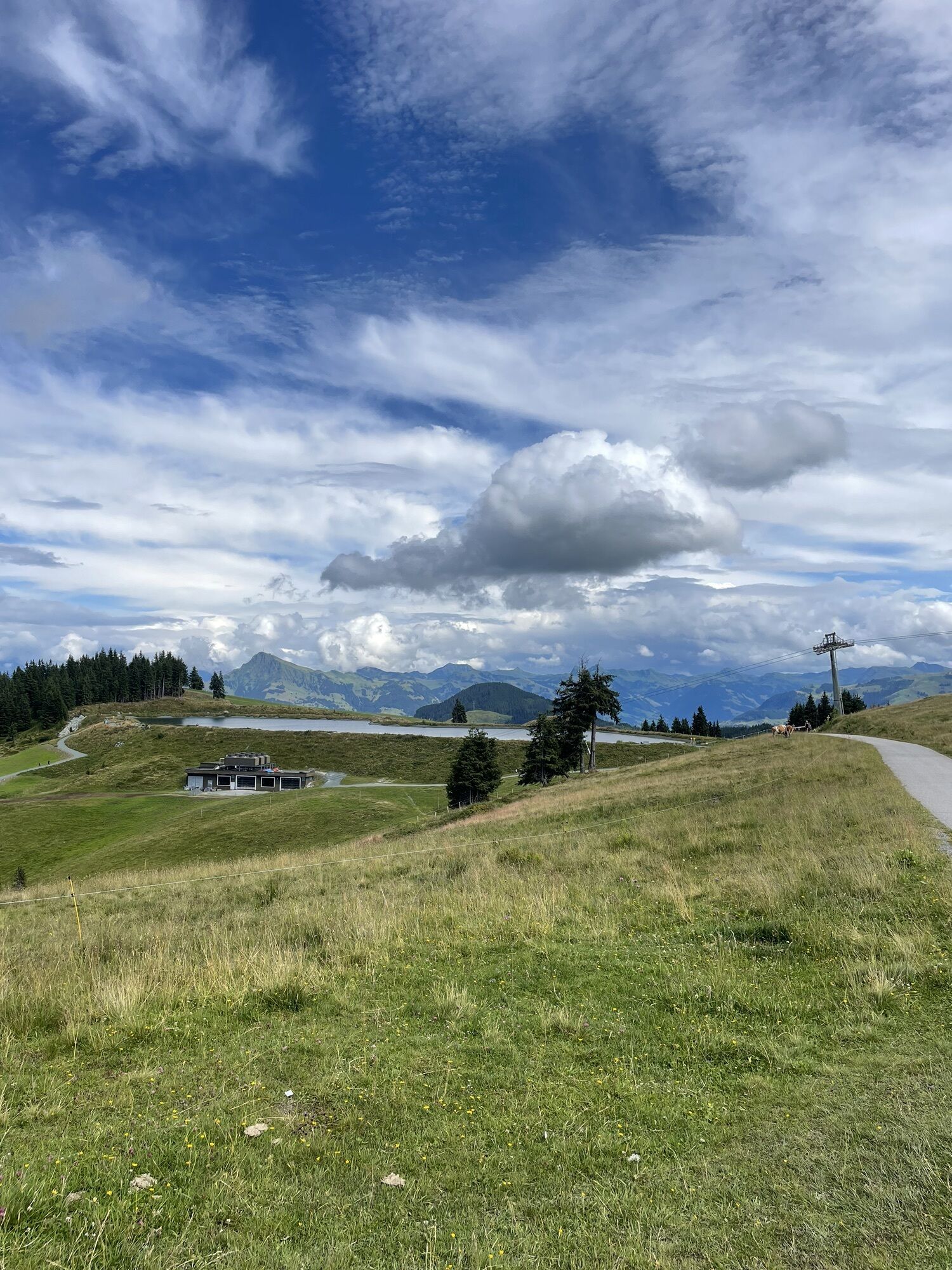
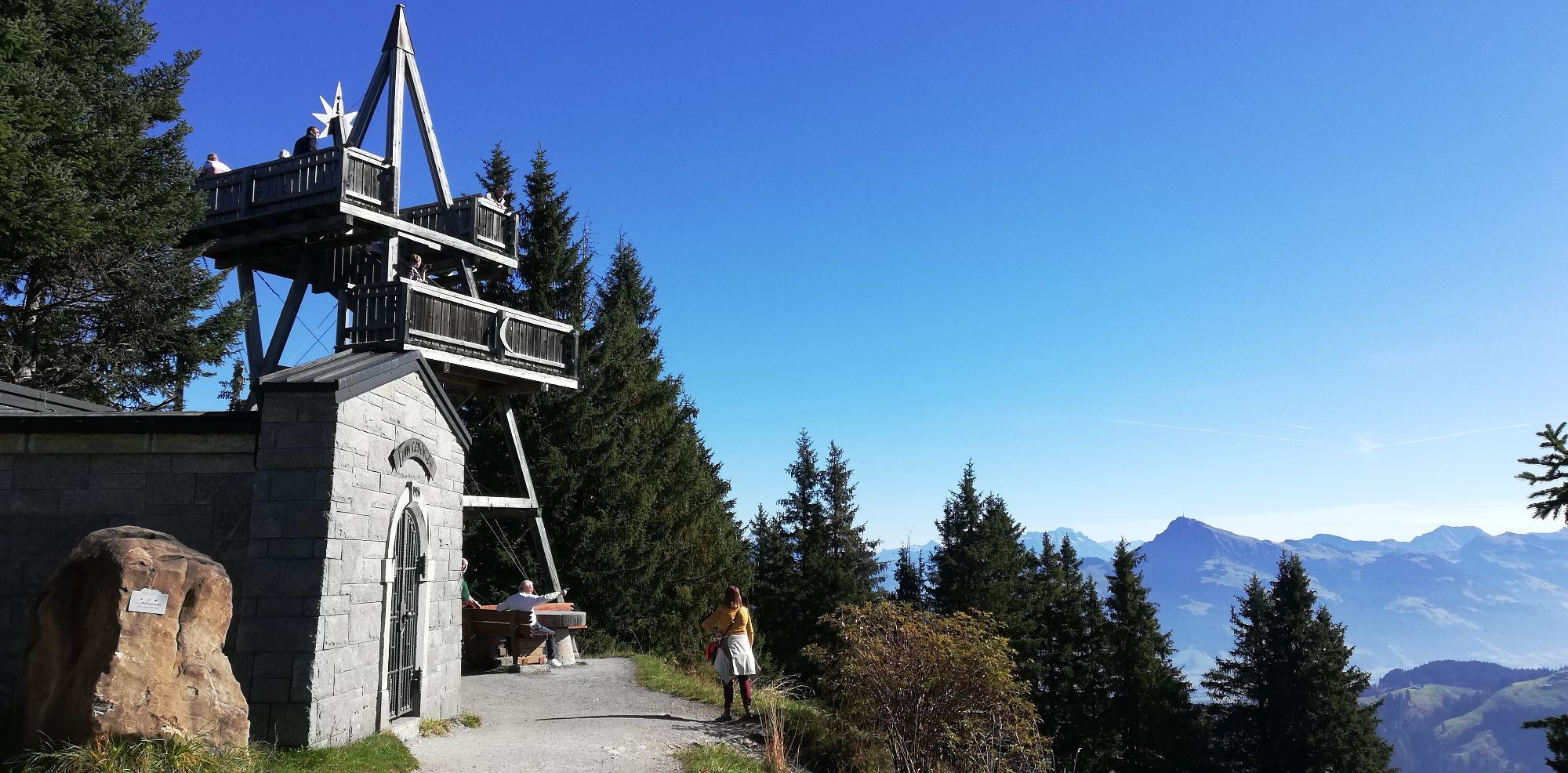
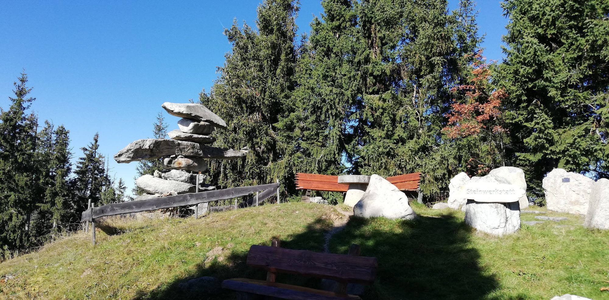
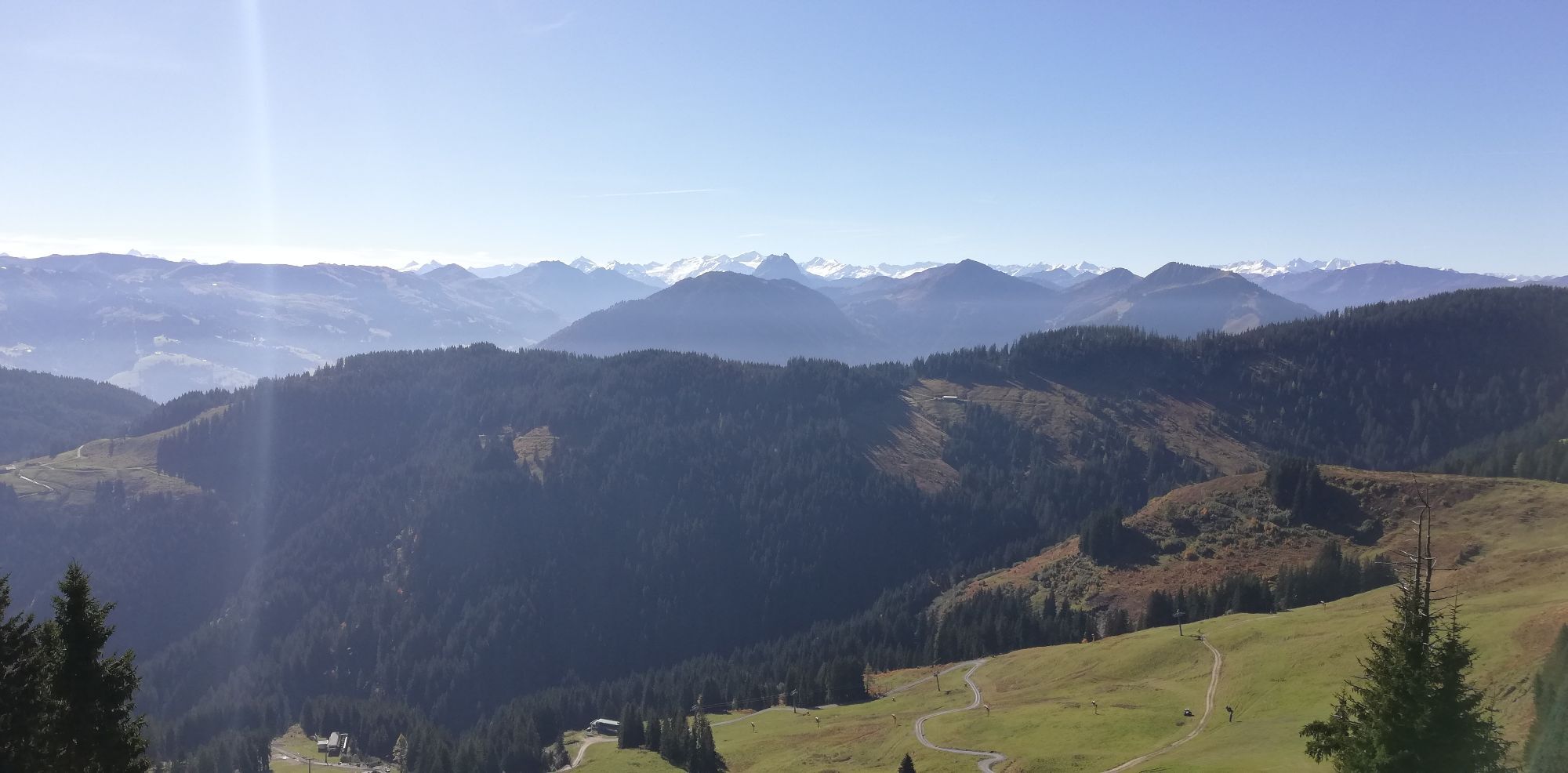
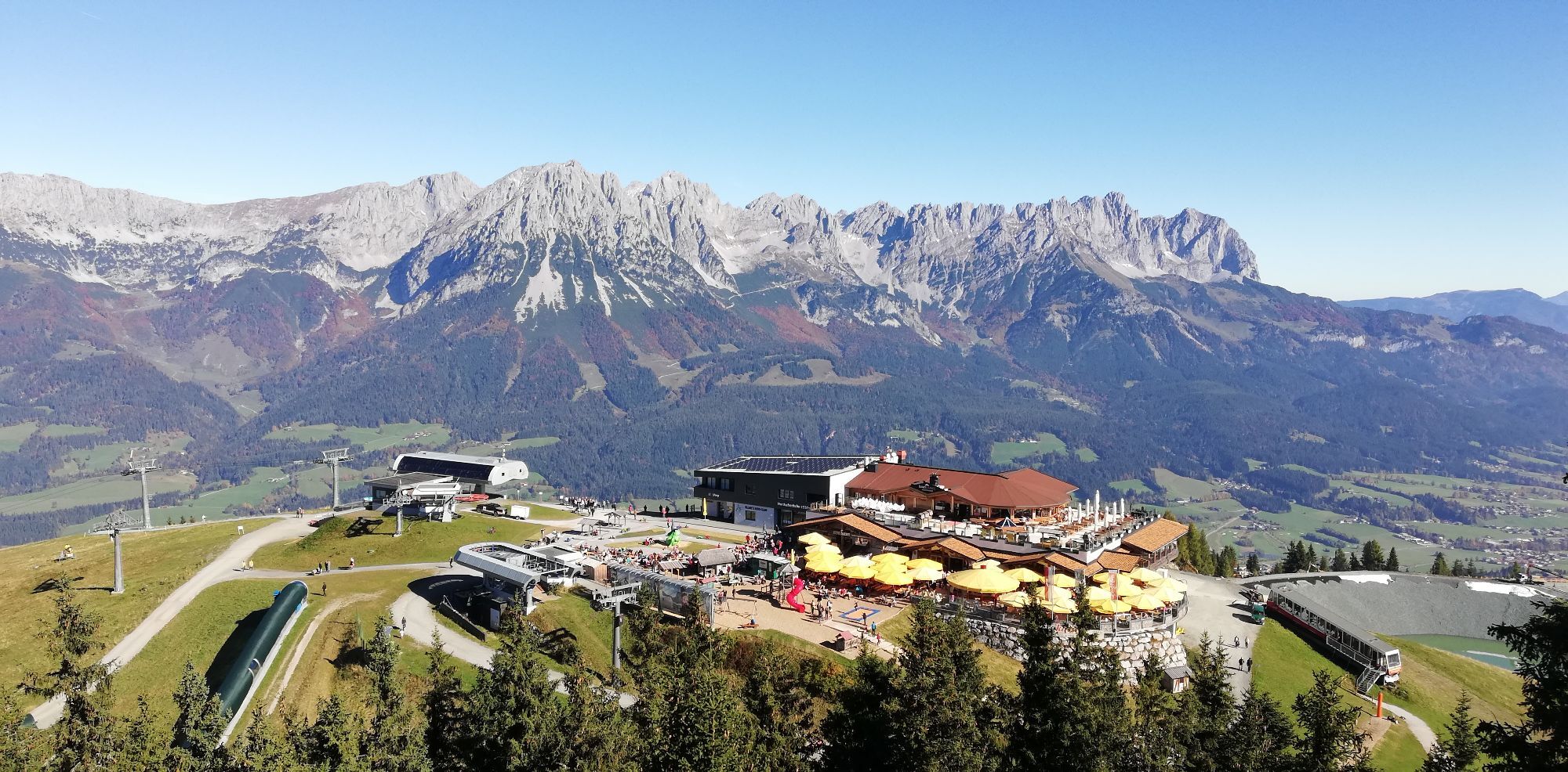
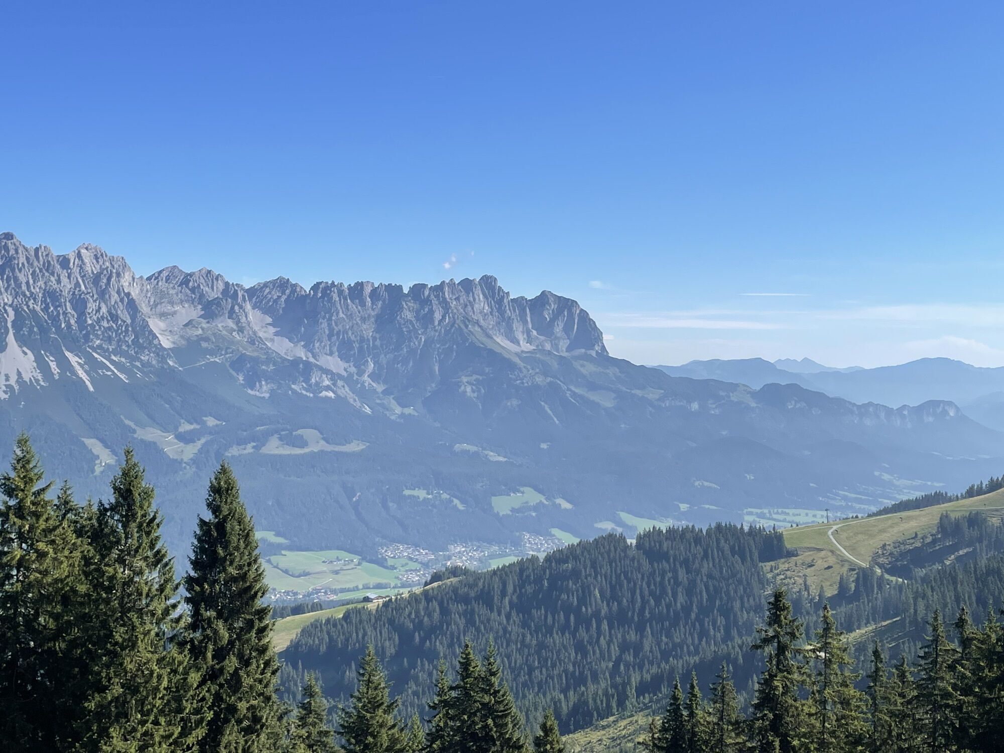
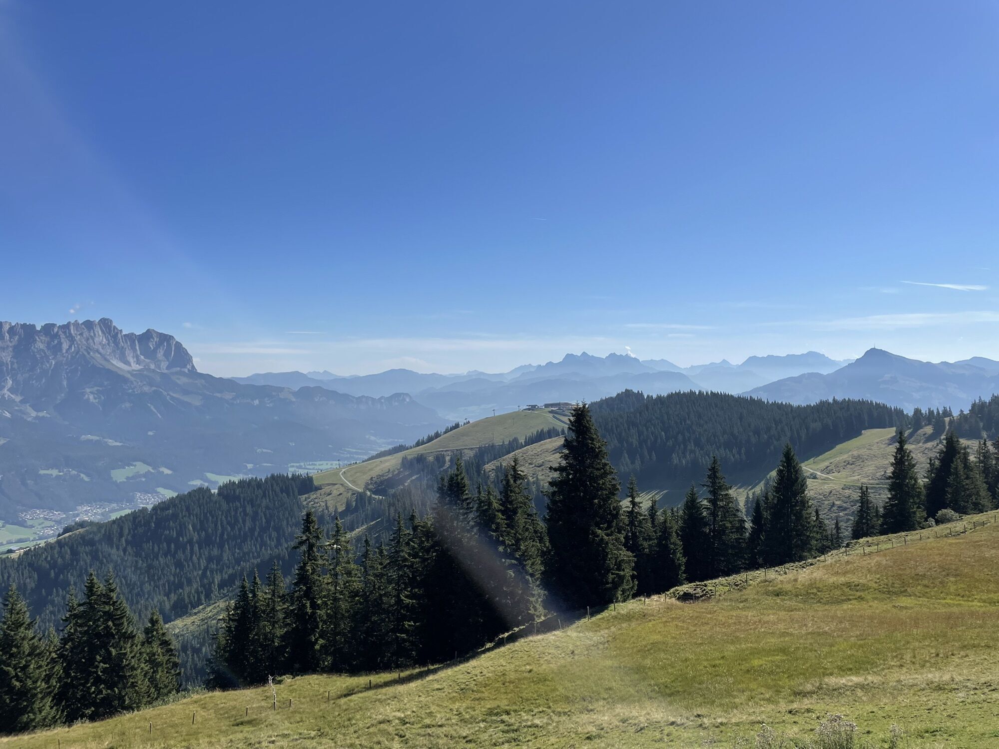
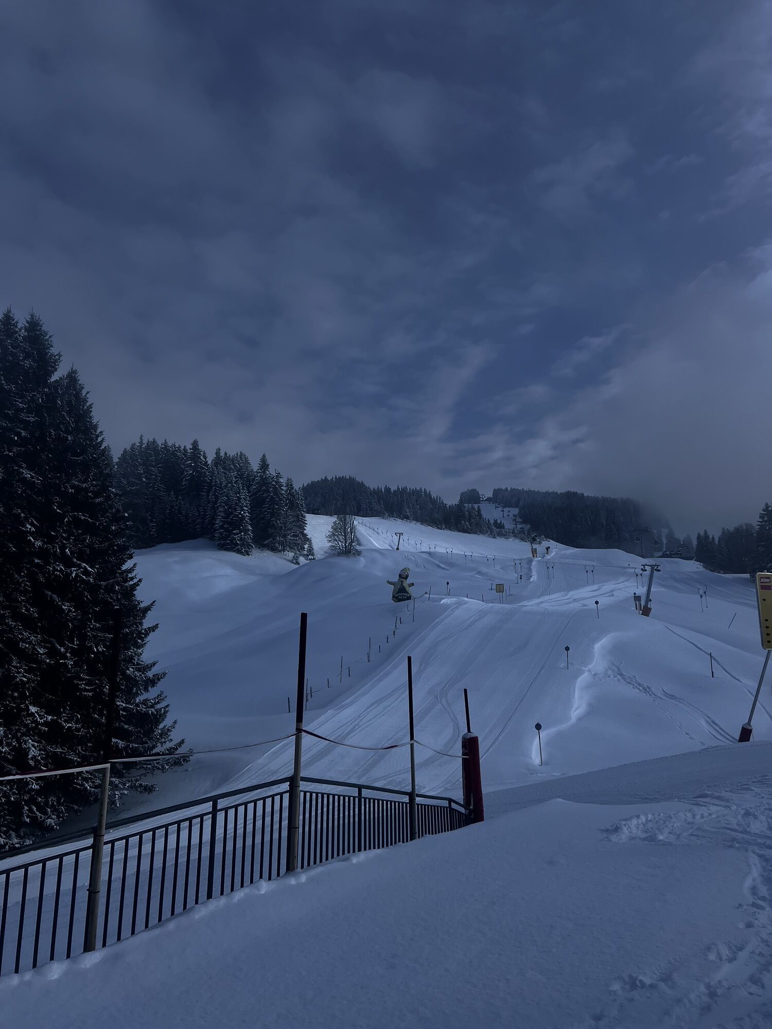
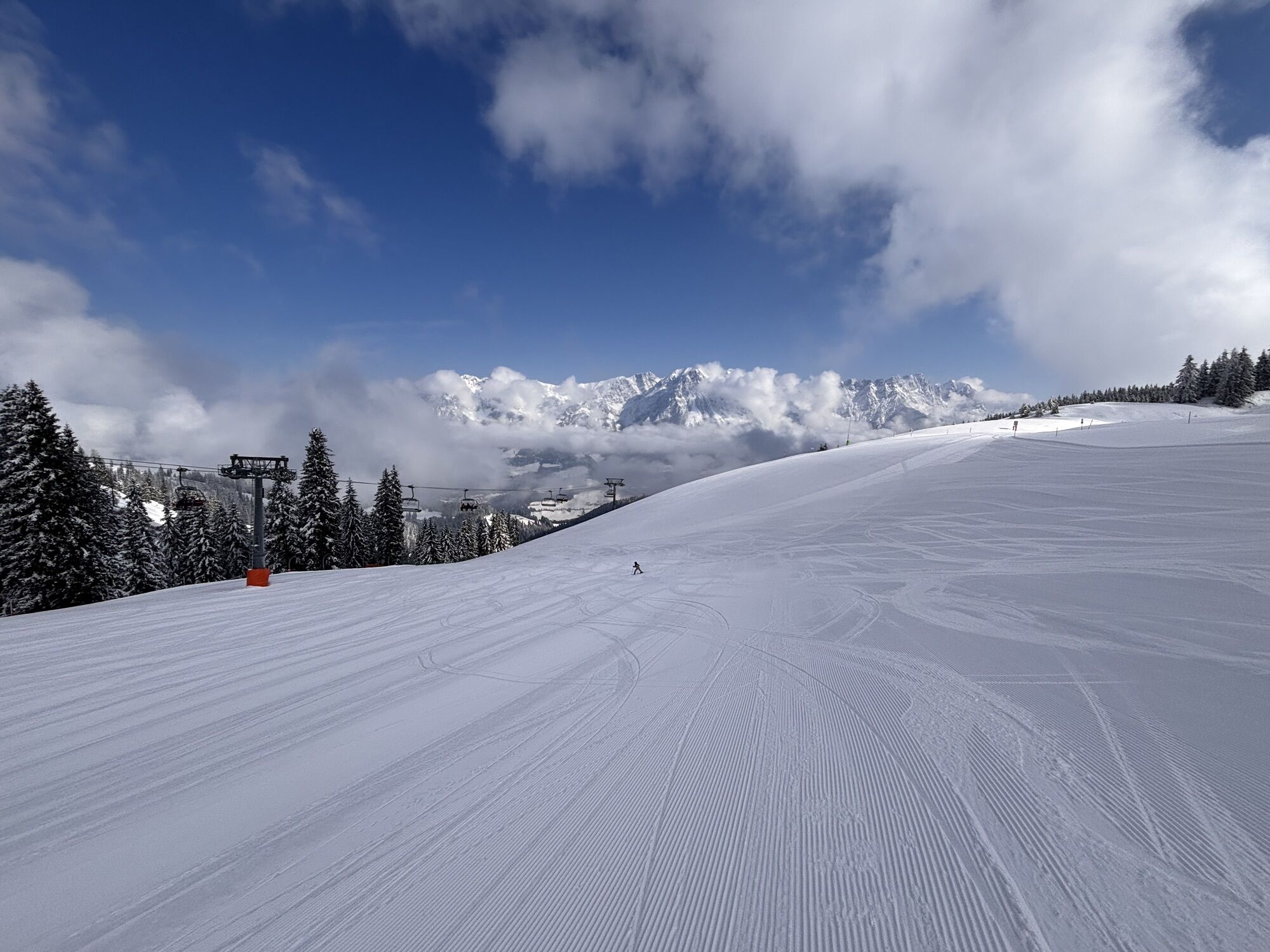
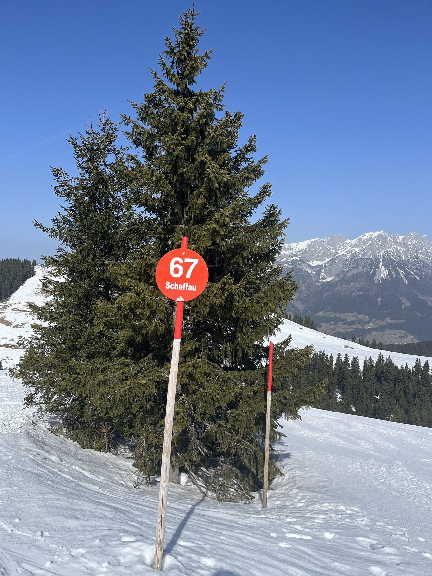
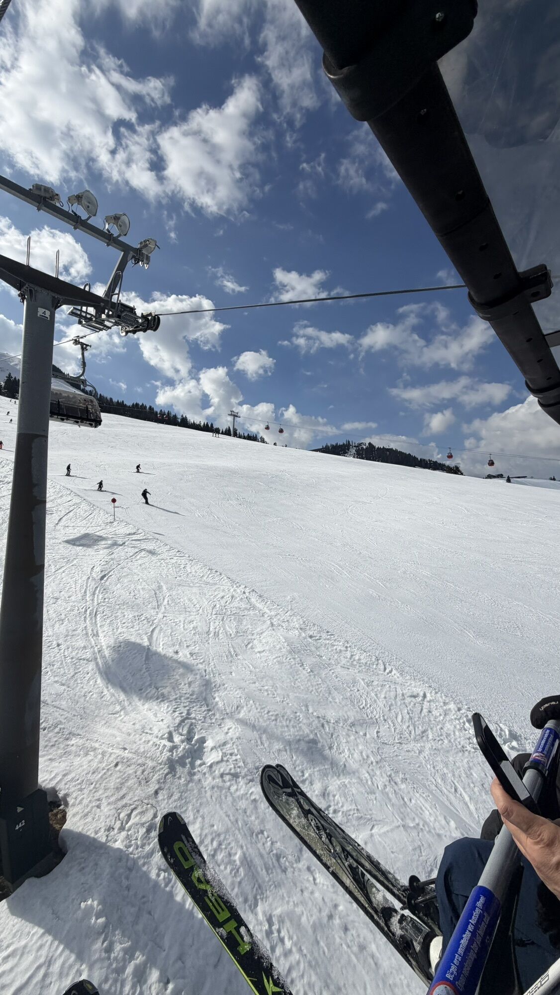
The tour is mostly on easy hiking trails with only a short section of moderate difficulty. The numerous refreshment stops serving regional delicacies, the glorious scenery of the Kitzbühel Alps with stunning...
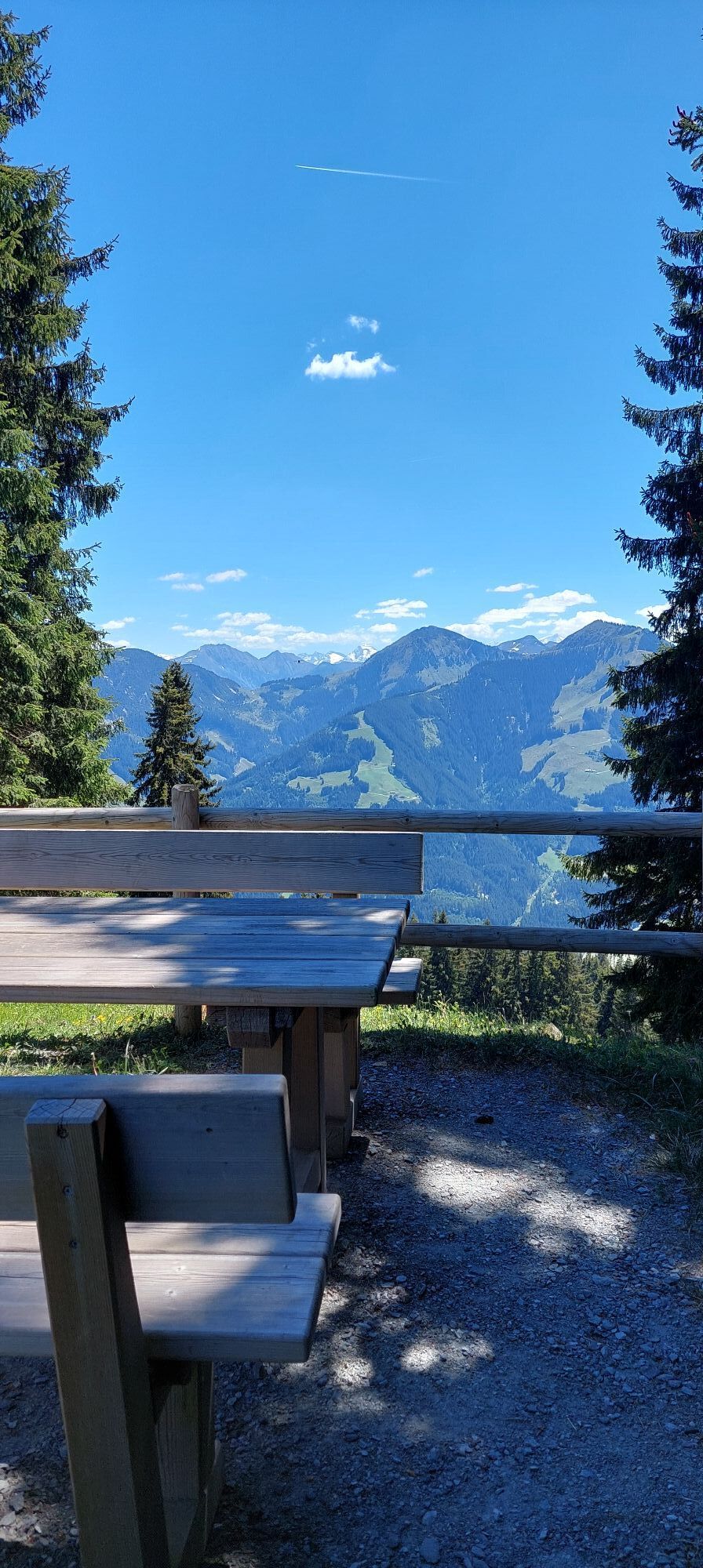
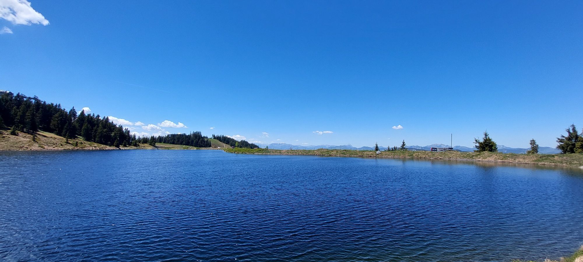
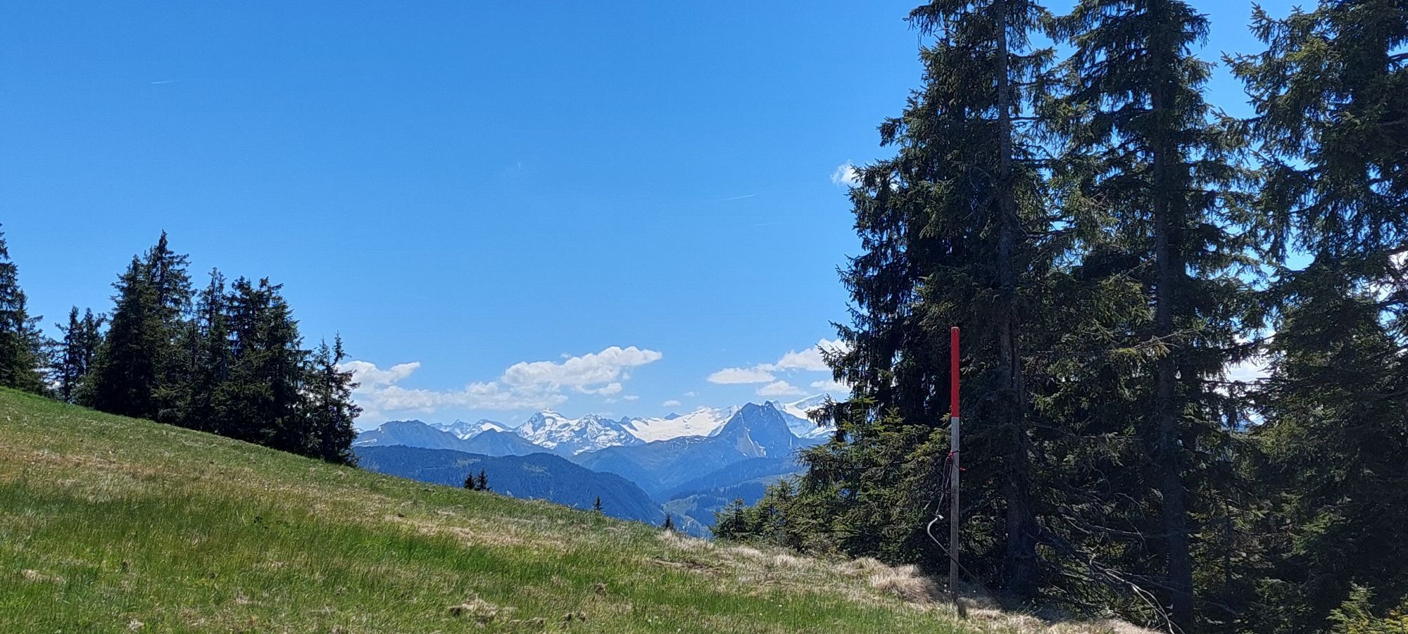
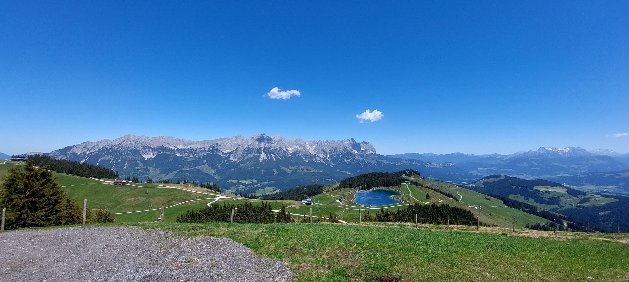
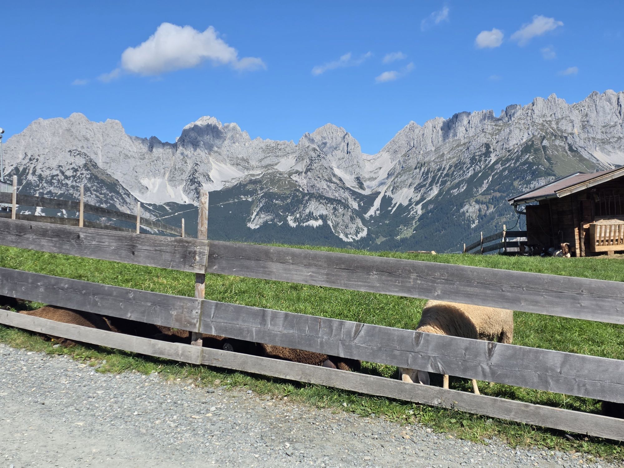
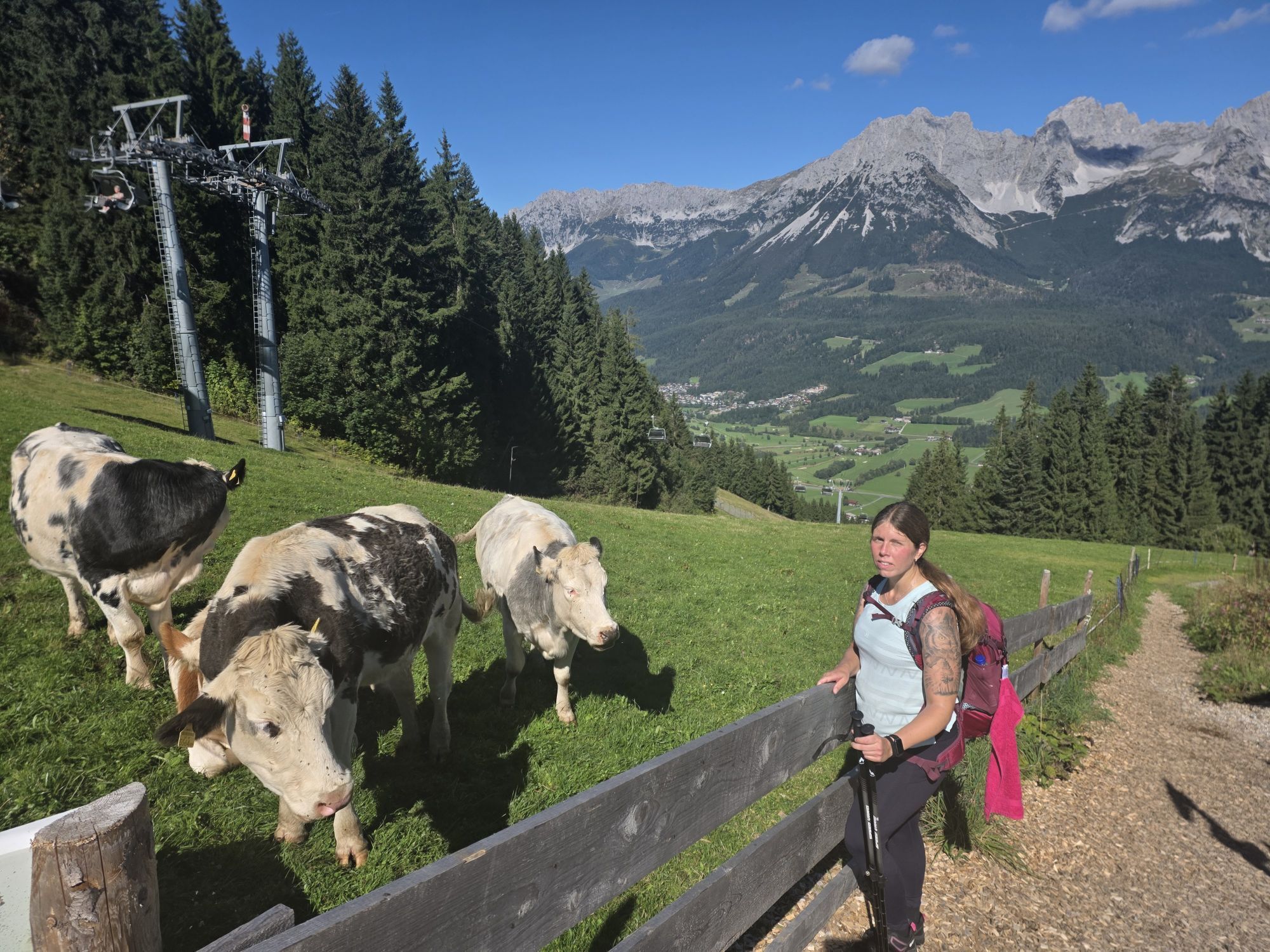
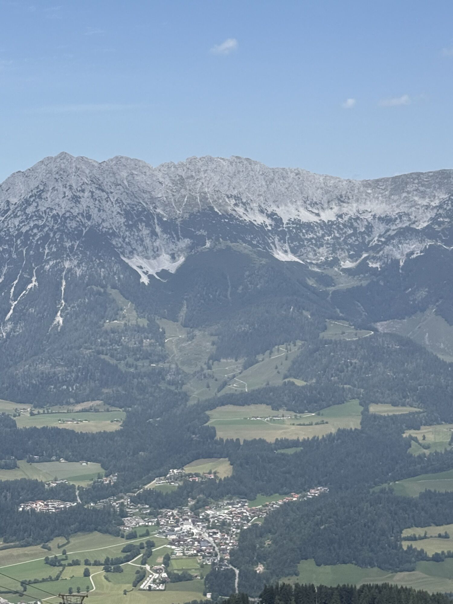
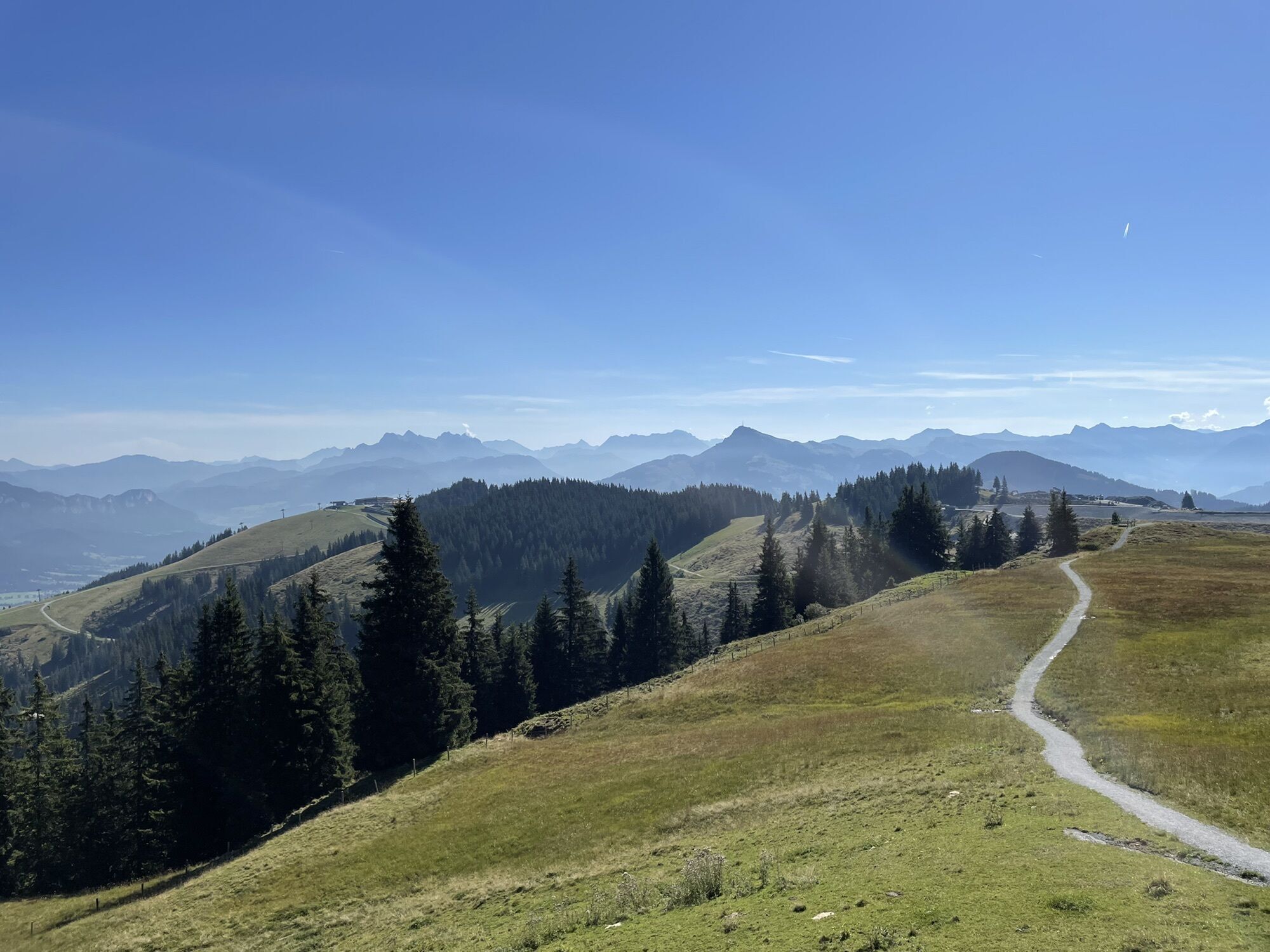
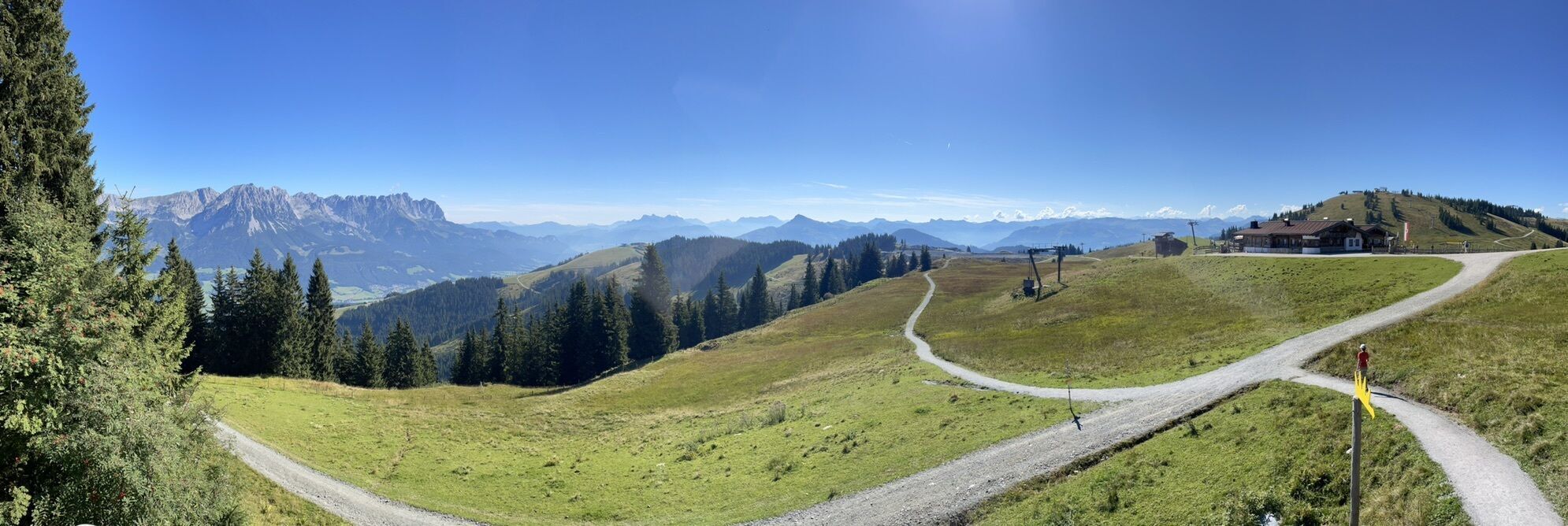
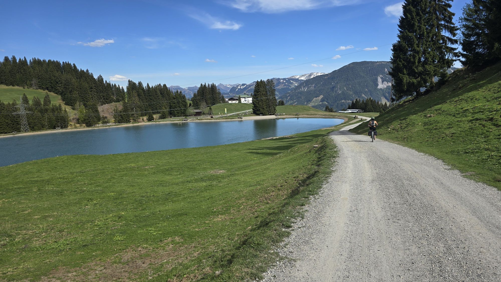
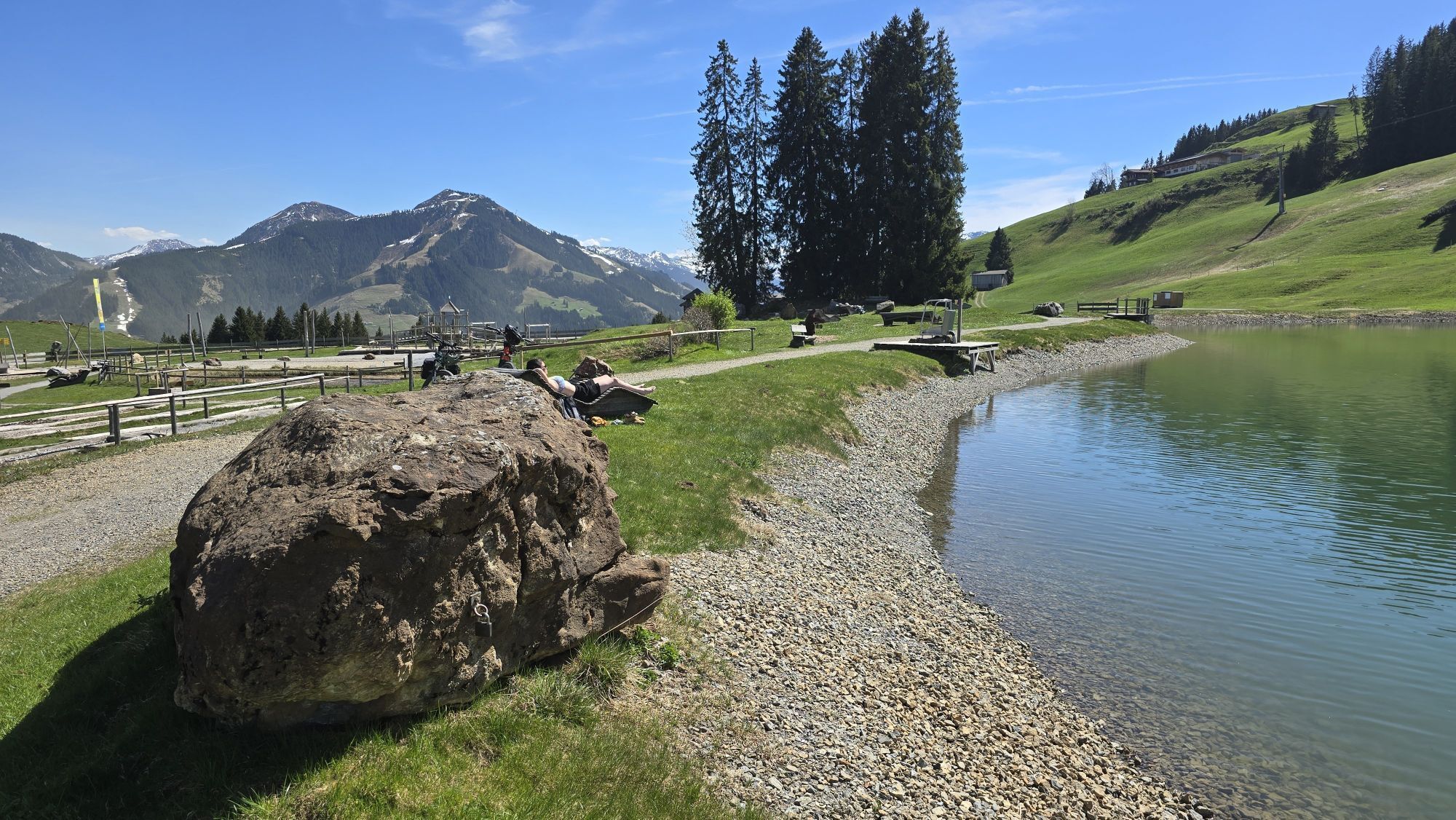
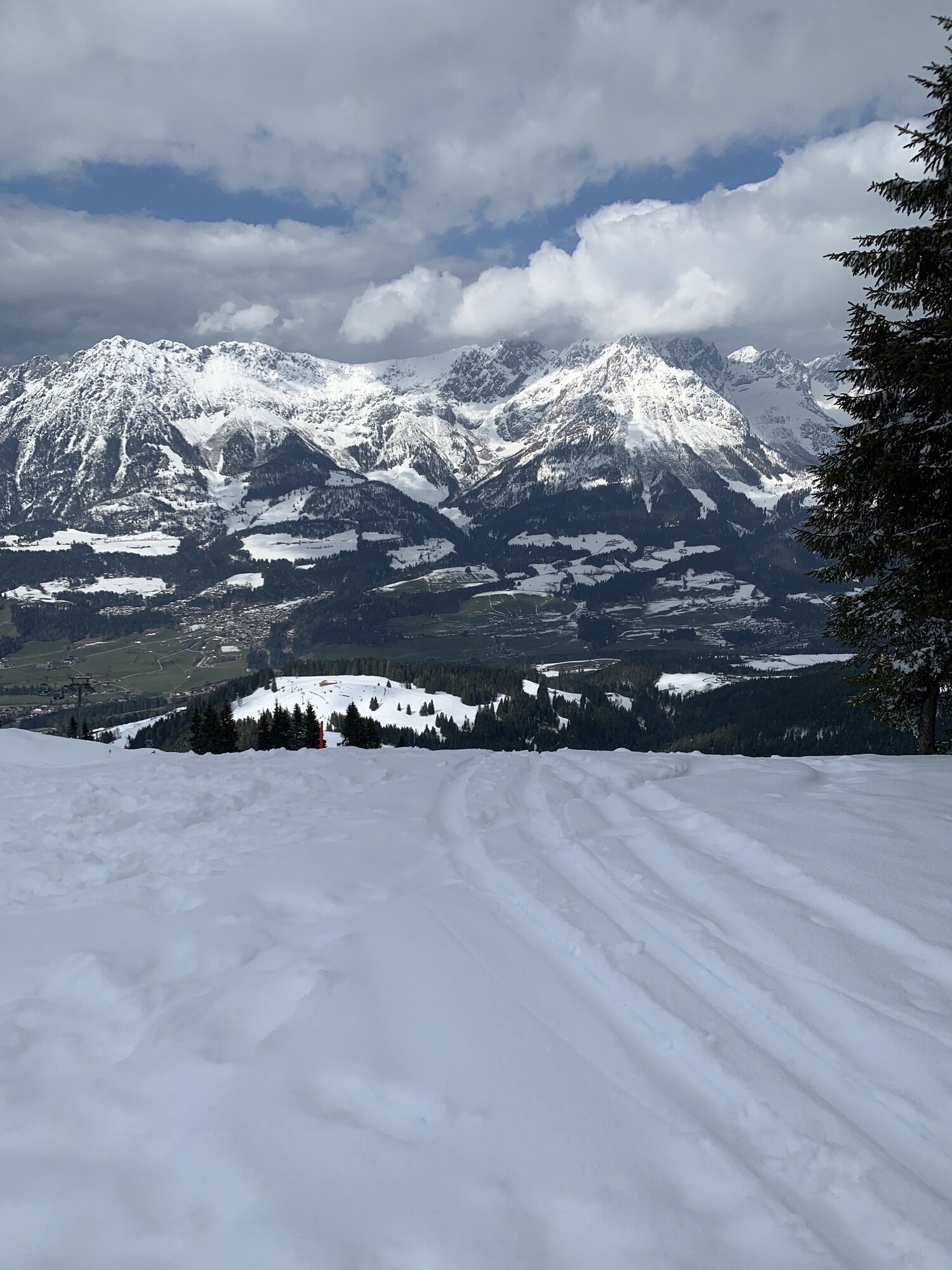
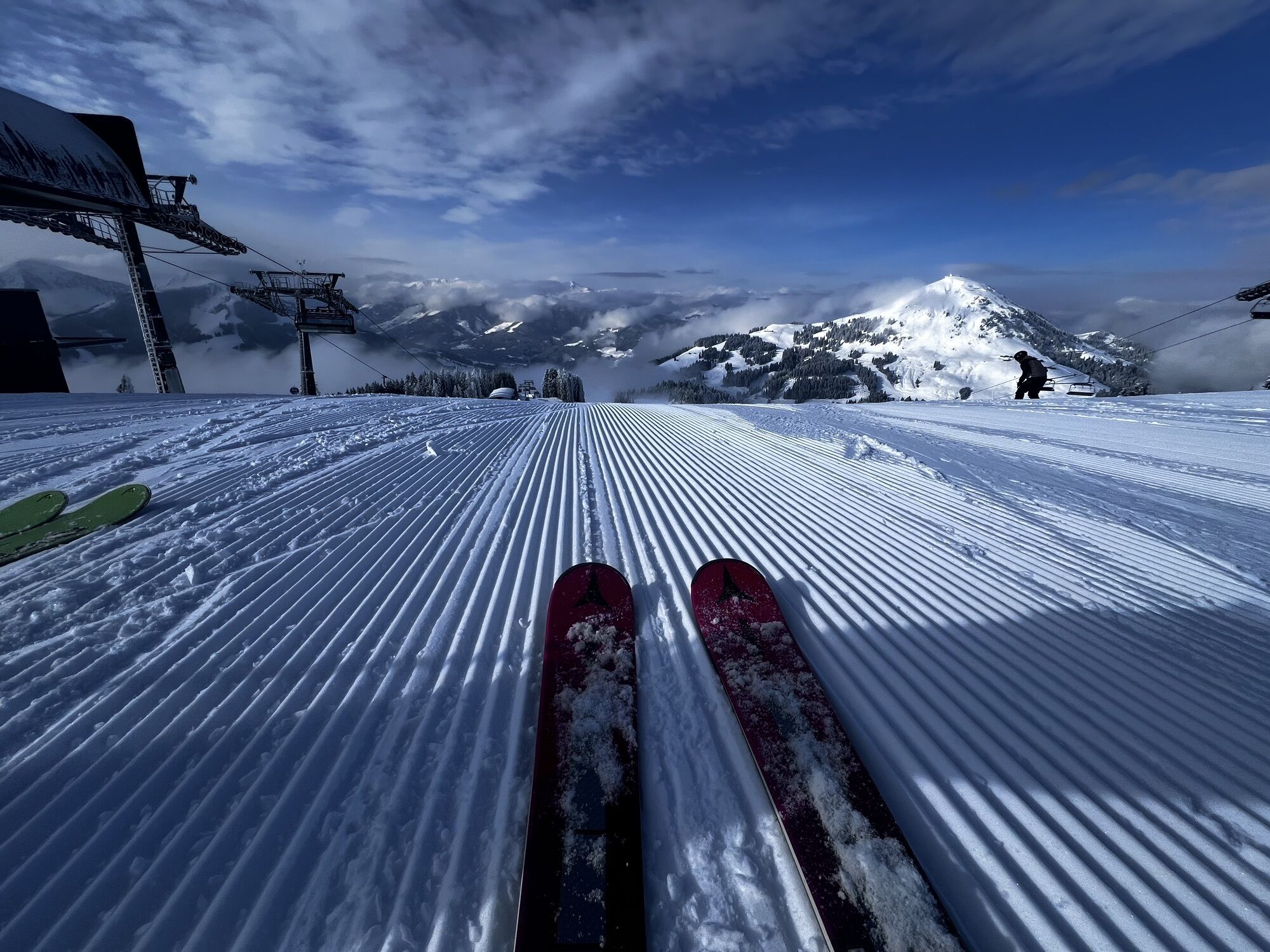
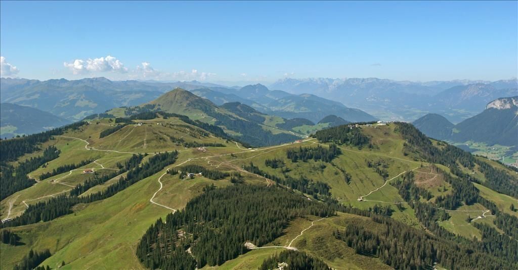
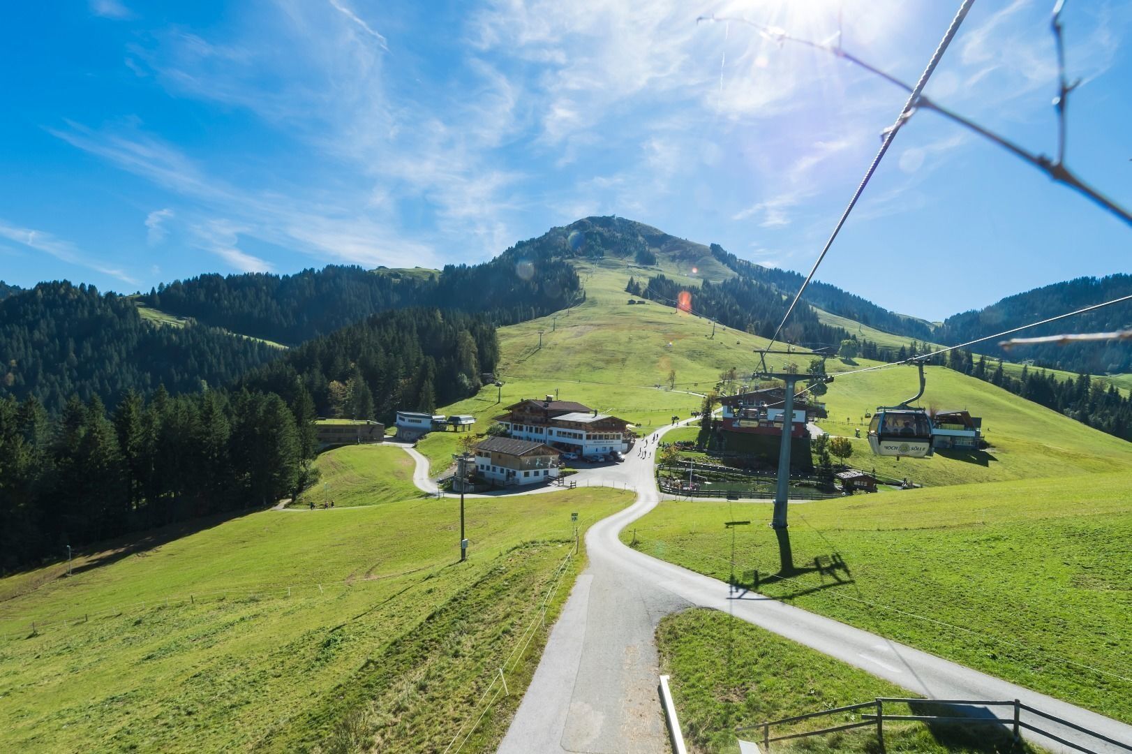
The tour is mostly on easy hiking trails with only a short section of moderate difficulty. The numerous refreshment stops serving regional delicacies, the glorious scenery of the Kitzbühel Alps with stunning views of the imposing Wilder Kaiser to the north and the main ridge of the Alps to the south make the hike a truly wonderful experience you’ll never forget.
The SkiWelt Panoramic Trail can be hiked in many different ways. Access points and means of ascent and descent on the Bergbahnen Wilder Kaiser – Brixental summer cable cars are to be found in all four of the villages of the Kaiser region: Ellmau, Going, Scheffau and Söll. The Bergbahn Erlebnis-Card gives you unlimited use of all the cable cars as well as entry to the Adventure Worlds.
And the KaiserJet brings you back to your starting point.
Full course of the trail
Astberg – Hochsöll:
20 km / 840 hm ascent / 940 m descent / ca. 6 h (actual walking time)
Hochsöll – Astberg:
20 km / 940 hm ascent / 840 m descent / ca. 6 h (actual walking time)
Variations
Astberg – Hartkaiser:
13,6 km / 640 m ascent / 360 m descent / 4h 30 min
Astberg – Brandstadl:
12,6 km / 650 m ascent / 260 m descent / 4h 15 min
Hartkaiser – Astberg:
13,6 km / 360 m ascent / 640 m descent / 4h 15 min
Hartkaiser – Brandstadl:
2,8 km / 160 m ascent / 40 m descent / 1h
Hartkaiser – Hochsöll:
12,2 km / 260 m ascent / 650 m descent / 4h
12,2 km / 260 m ascent / 250 m descent / 3h *
Brandstadl – Hochsöll:
11 km / 180 m ascent / 660 m ab / 3h 45 min
6,9 km / 170 m ascent / 280 m ab / 2h 45 min *
Brandstadl – Hartkaiser:
2,8 km / 40 m ascent / 160 m descent / 1h
Brandstadl – Astberg:
12,6 km / 260 m ascent / 650 m descent / 4h 15 min
Hochsöll – Brandstadl:
11 km / 660 m ascent / 180 m descent / 3h 45 min
6,9 km / 280 m ascent / 170 m descent / 2h 45 min *
Hochsöll – Hartkaiser:
12,2 km / 650 m ascent / 260 m descent / 4h
8,2 km / 250 m ascentâ / 320 m descent / 3h *
* information when using Zinsberg cable car
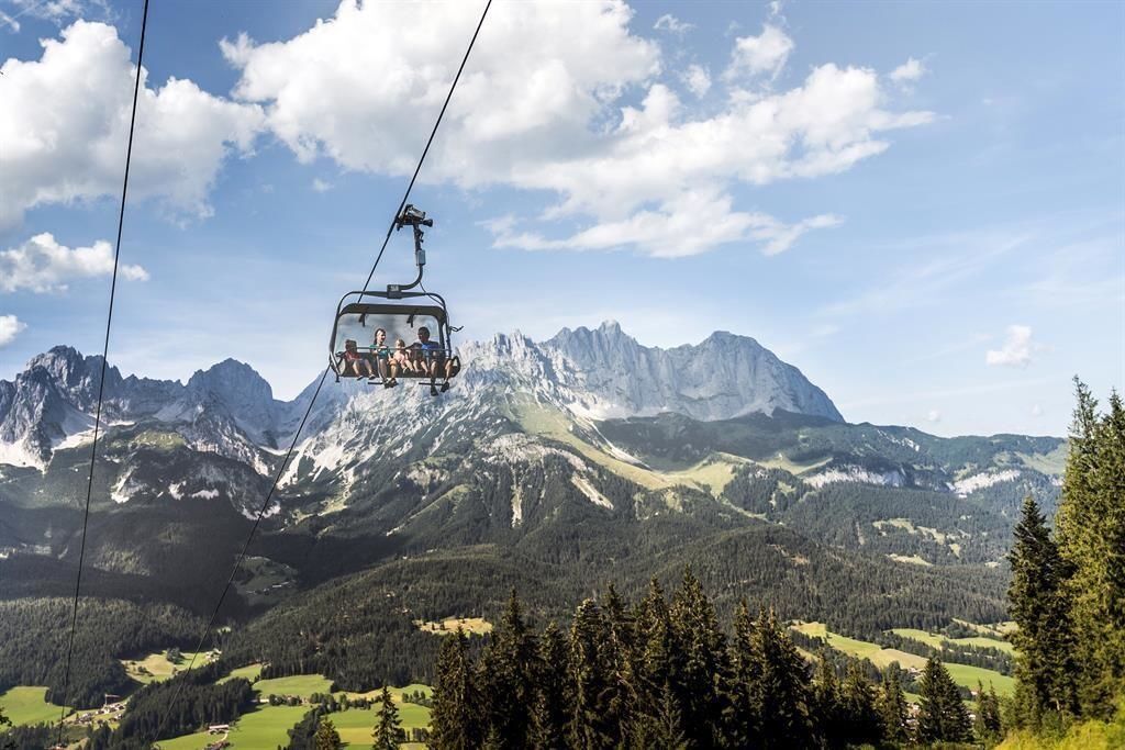
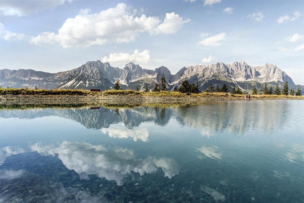
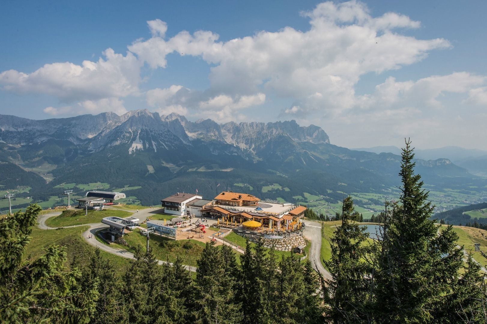

Wilder Kaiser hiking map (1:25.000) available at the Tourist information offices Ellmau, Going, Scheffau and Söll for € 6,90 - with Wilder Kaiser Guest Card for € 6, -.
Rucksack, hiking/mountaineering boots, hiking gear (breathable), change of clothes, sun protection (sunglasses, sun cream, headgear), waterproofs (hardshell), cold protection (gloves and hat), water bottle, food for eating on the way, hiking poles if desired, first aid kit, plastic bag for waste, hiking map/route description (gpx track)
Coming on B178 road from Wörgl, Kufstein or St. Johann, drive to the cable car valley station of your chosen point of departure.
Going Astbergbahn Talstationâ
Ellmau Hartkaiserbahn /Ellmis Zauberwelt
Scheffau Bergbahn
Söll Gondelbahn Hexenwasser Hohe Salve
More information at: www.wilderkaiser.info/mobility
At the valley stations of every summer cable car in Ellmau, Going, Scheffau and Söll.
Spletne kamere s turneje
-
Bergstation Gondelbahn
-
Scheffau
-
Bergstation Hartkaiserbahn
-
Hohe Salve
-
Bergstation Gondelbahn Hochsöll
-
Jochstub'n-See
-
Hartkaiser II
-
Ellmau - Maria Heimsuchungskapelle
-
Choralpe
-
Going - Ort
-
Jochbahn Bergstation
-
Reith bei Kitzbühel - Hotel Zimmermann
-
Going - Astberg
-
Westendorf - Salvenberg
-
Übungswiese Westendorf - Apartment Anita
-
Golfplatz Kitzbühel-Schwarzsee-Reith
-
Holzalm
-
Hexenwasser
Pridobite vpogled
Vedno v živo na mestu z več kot 9.500 spletnimi kamerami. bergfex Kot uporabnik Pro si lahko zdaj ogledate ustrezne spletne kamere za številne izlete v aplikaciji izleti iz. Tako si lahko neposredno ogledate trenutne razmere.

Priljubljeni izleti v okolici
-
4.9
Route 209: Brechhornhaus-Choralpe
težkoMountainbike 24.4 km -
4.9
Schleierwasserfall Runde
srednjaPohodništvo 5.63 km -
4.8
Gruttenhütte über Klammlweg
srednjaPohodništvo 5.61 km -
4.4
Kitzbüheler Horn über Horn-Gipfel-Höhenweg
srednjaTematska pot 5.30 km -
4.8
Ellmauer Tor (22.07.2020)
srednjaPohodništvo 9.32 km -
4.8
Streif Wanderweg
srednjaPohodništvo 5.73 km -
5.0
Stripsenjoch Klettersteige/ Rundwanderung von Griesener Alm über Stripsenjochhaus und Feldberg
srednjaVia ferrata 10.2 km -
4.1
Brechhorngipfel (2.037m)
srednjaPohodništvo 11.7 km -
4.7
Musikantensteig zur Naunspitze
srednjaPohodništvo 8.96 km -
4.6
Hintersteinersee
srednjaPohodništvo 9.87 km
Pohodništvo in sledenje


Ne zamudite ponudb in navdiha za naslednje počitnice
Vaš e-poštni naslov je bil dodan na poštni seznam.





