






Moosalm
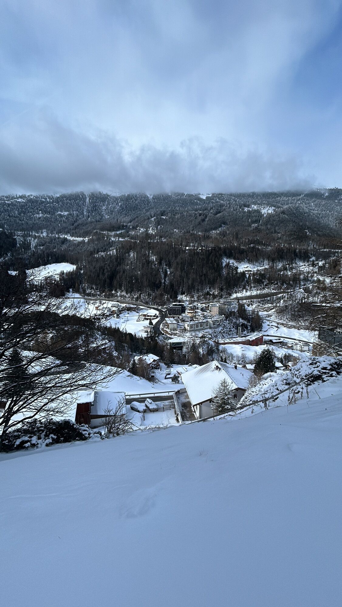
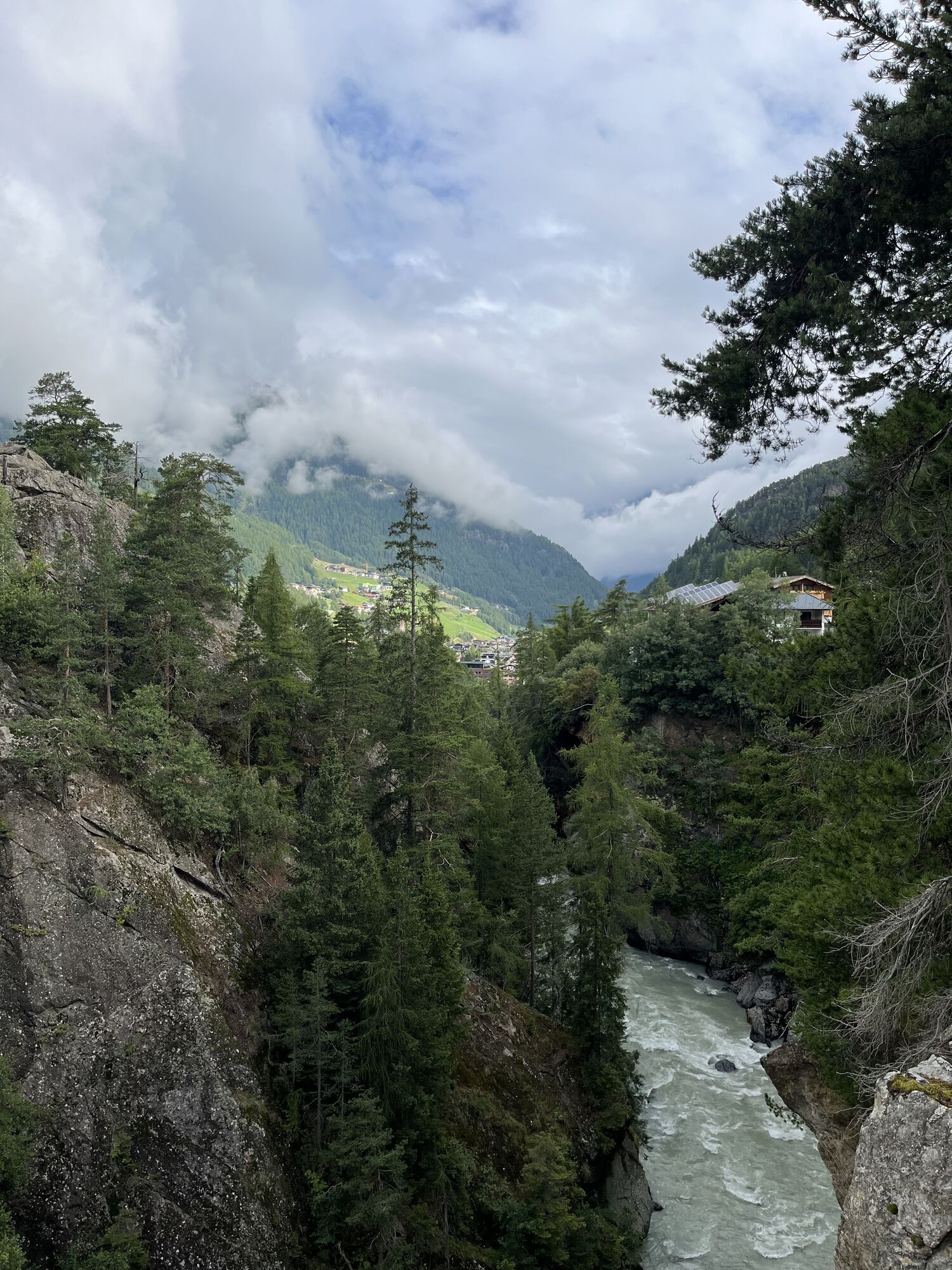
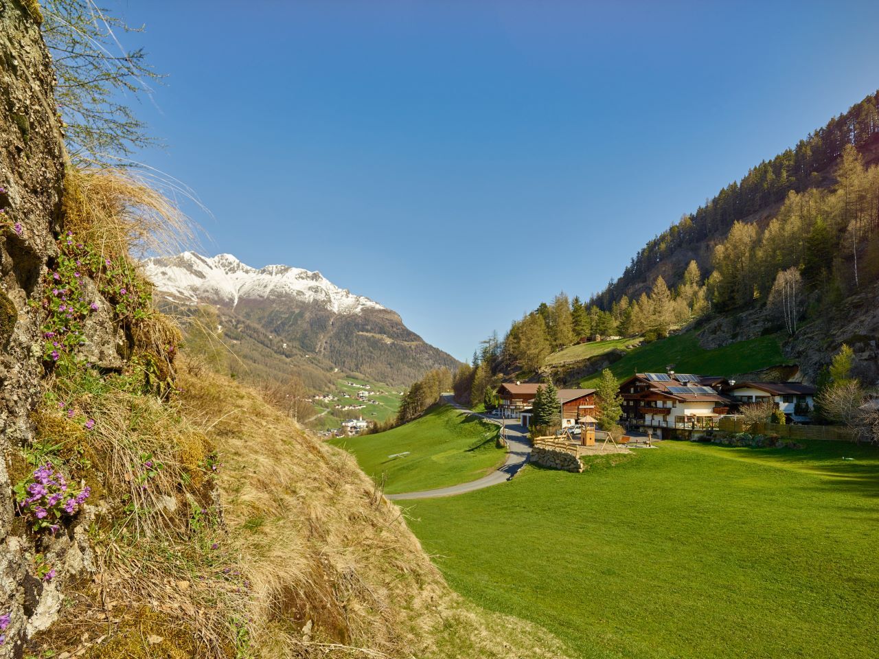
The Moosalm (1,500 m) in Sölden is well known for its traditional Tyrolean cuisine.
Start your hike from the Freizeit Arena or alternatively at the Gaislachkoglbahn in Sölden.
Cross the wooden bridge in...
Start your hike from the Freizeit Arena or alternatively at the Gaislachkoglbahn in Sölden.
Cross the wooden bridge in the direction of Windau up through Platte and turn left to the Moosalm.
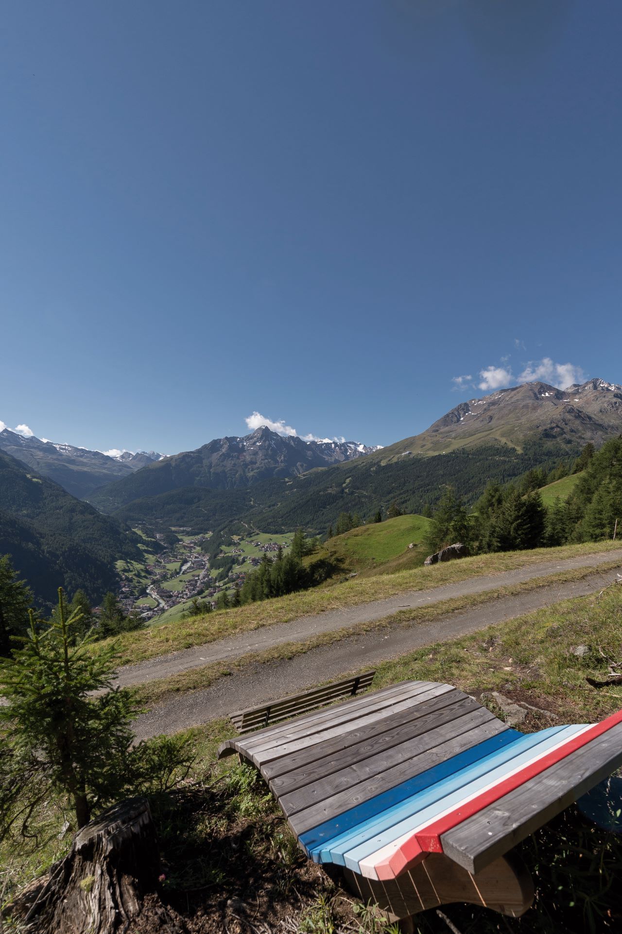
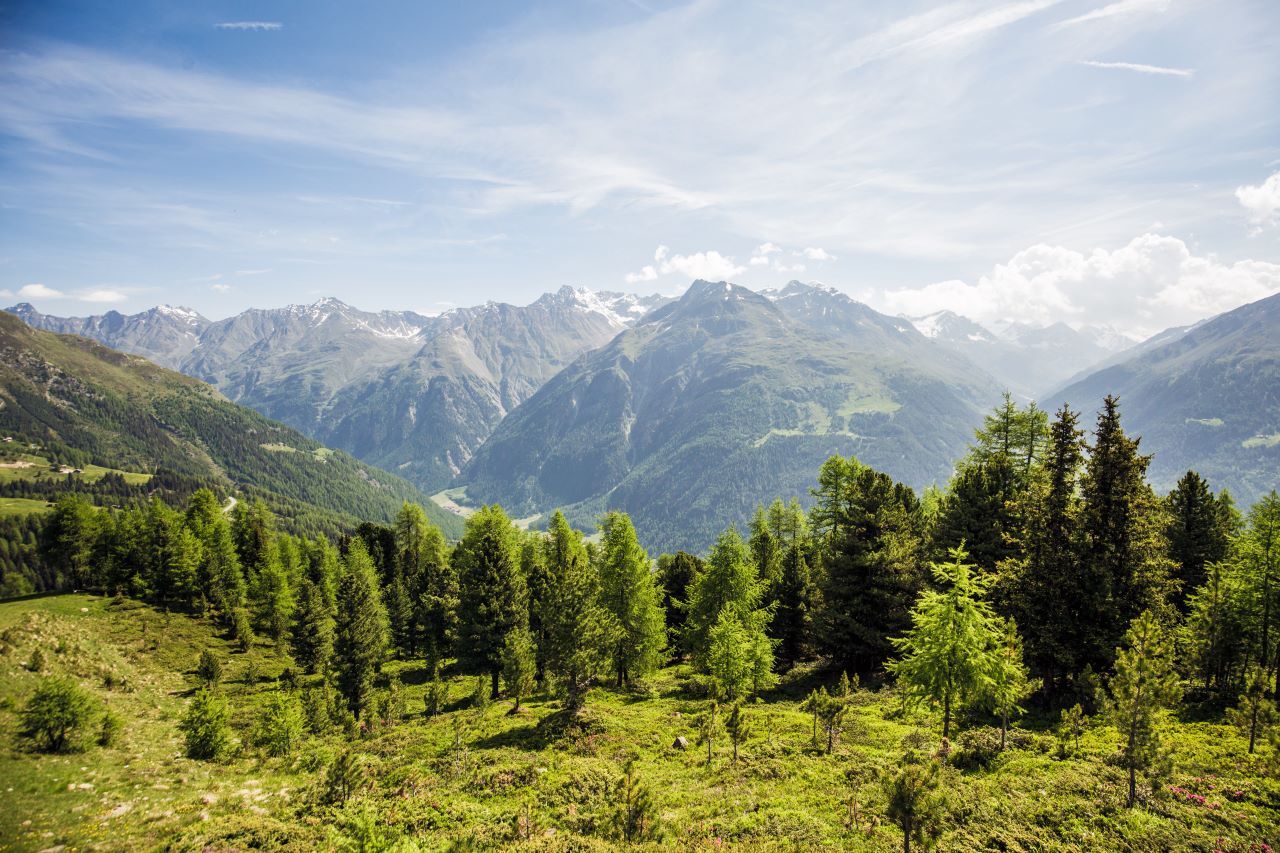
Enjoy a fantastic panoramic view over Sölden.

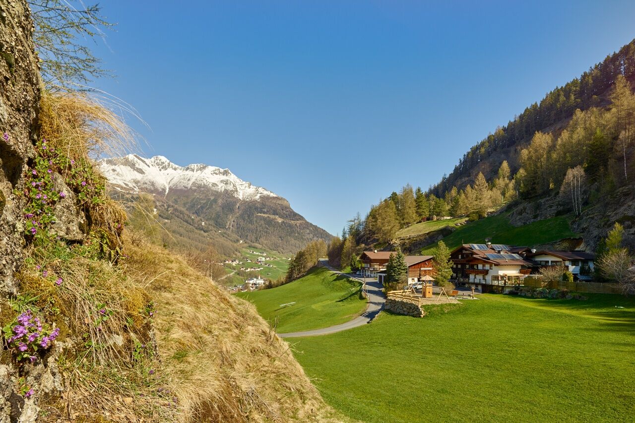
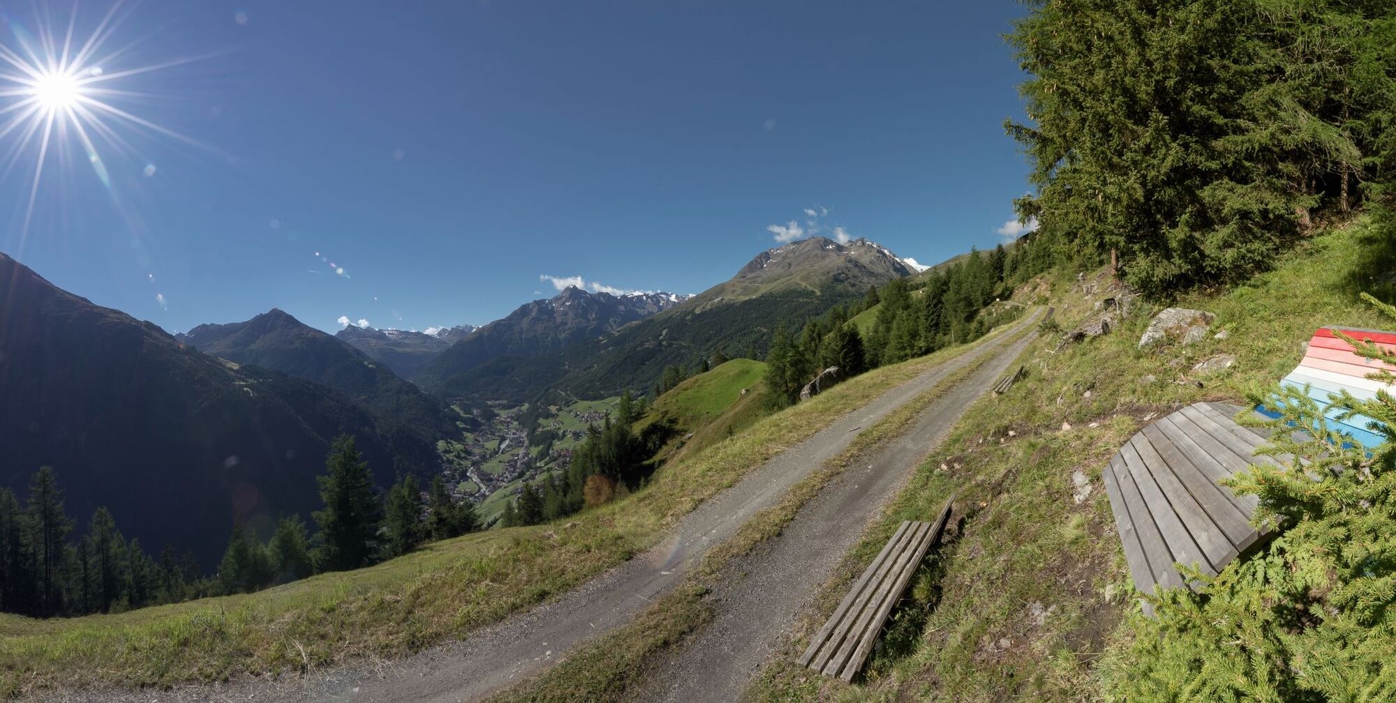

Start your hike from the Freizeit Arena or alternatively at the Gaislachkoglbahn in Sölden.
Cross the wooden bridge in the direction of Windau up through Platte and turn left to the Moosalm.
Enjoy a fantastic panoramic view over Sölden.
Da
Da
Appropriate equipment such as breathable suitable outdoor clothes for the weather, ankle-high walking boots, wind-, rain- & sun protection, hat, possibly gloves, is for all hikes and tours necessary. Please bring a first-aidbox, a mobile phone, a walking map and if there is no hut on the way a snack and enough to drink.
Easy hike; suitable for beginners and walkers.Please pay attention to the current weather report: www.oetztal.com/de/sommer.html
The car drive to the Ötztal valley. Situated in Tirol, the Ötztal valley set off in southerly direction and is the longest side valley in the Eastern Alps. The journey with the car leads you through the Inntal valley to the entrance of the valley and further on through the valley. Among the toll motorways you can also use the countryroads. A route planner will show you the easiest and most convenient way: www.google.at/maps
All parking is free during the day.
The Moosalm is open summer and winter.

Spletne kamere s turneje
-
Seekogel
-
Gaislachkogel
-
Sölden - Hochsölden
-
Sölden - Grünwald Resort
-
Sölden - Grünwald Resort
-
Giggijoch
-
Giggijoch
-
Giggijoch
-
Giggijoch
-
Giggijoch
-
Giggijoch
-
Giggijoch
-
Giggijoch
-
Sölden - Gaislachkogelbahn Mittelstation
-
Sölden - Schwarzkogl Talstation
-
Hochstubaihütte
-
Hochstubaihütte
-
Sölden Ort
-
The Peak Sölden**** Chalets und Appartements
Pridobite vpogled
Vedno v živo na mestu z več kot 9.500 spletnimi kamerami. bergfex Kot uporabnik Pro si lahko zdaj ogledate ustrezne spletne kamere za številne izlete v aplikaciji izleti iz. Tako si lahko neposredno ogledate trenutne razmere.
Priljubljeni izleti v okolici
-
4.6
Winnebachsee Hut – Längenfeld/Gries
srednjaPohodništvo 4.74 km -
4.8
Wilde Wasser Weg - Fortgeschritten
srednjaPohodništvo 12.0 km -
4.4
Rundwanderung Hängebrück3
svetlobaPohodništvo 6.32 km -
4.7
Winter circular route Brandalm/Burgstein - Längenfeld 204
srednjaZimsko pohodništvo 5.44 km -
4.3
Amberger Hut - Längenfeld/Gries
srednjaPohodništvo 5.60 km -
4.4
Hochtour Wildspitze, 3.768m
srednjaVisokogorska tura 9.75 km -
4.4
Vent - Wilder Mann - Breslauer Hütte - Stableinalm
srednjaPohodništvo 7.25 km -
3.8
Breslauer Hut
srednjaPohodništvo 4.75 km -
3.1
Tiefenbachglacier - Mountaineering Village Vent
srednjaPohodništvo 10.8 km -
5.0
Dresdner hütte - sulzenauerhütte
srednjaPohodništvo 12.1 km
Pohodništvo in sledenje


Ne zamudite ponudb in navdiha za naslednje počitnice
Vaš e-poštni naslov je bil dodan na poštni seznam.





