


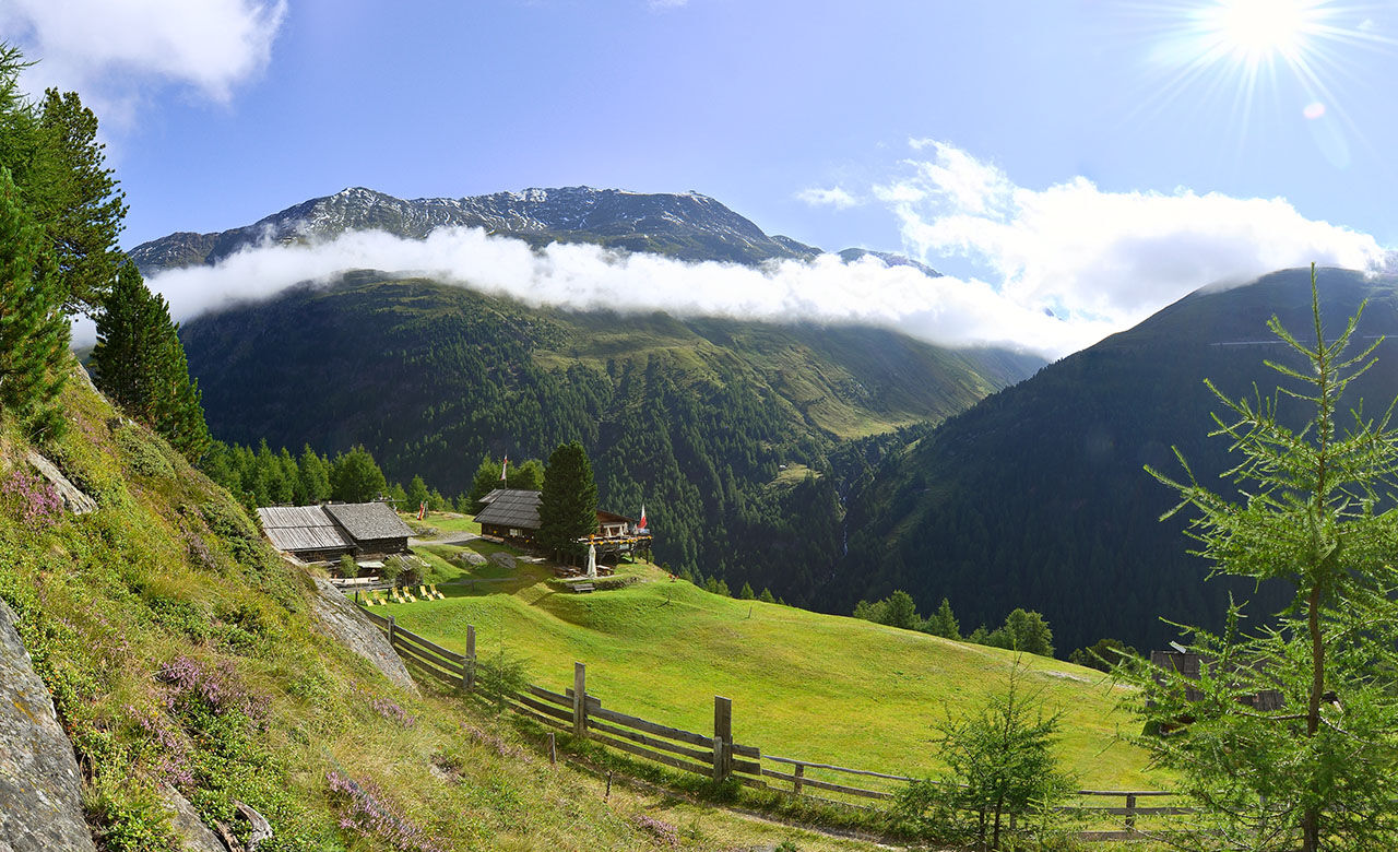
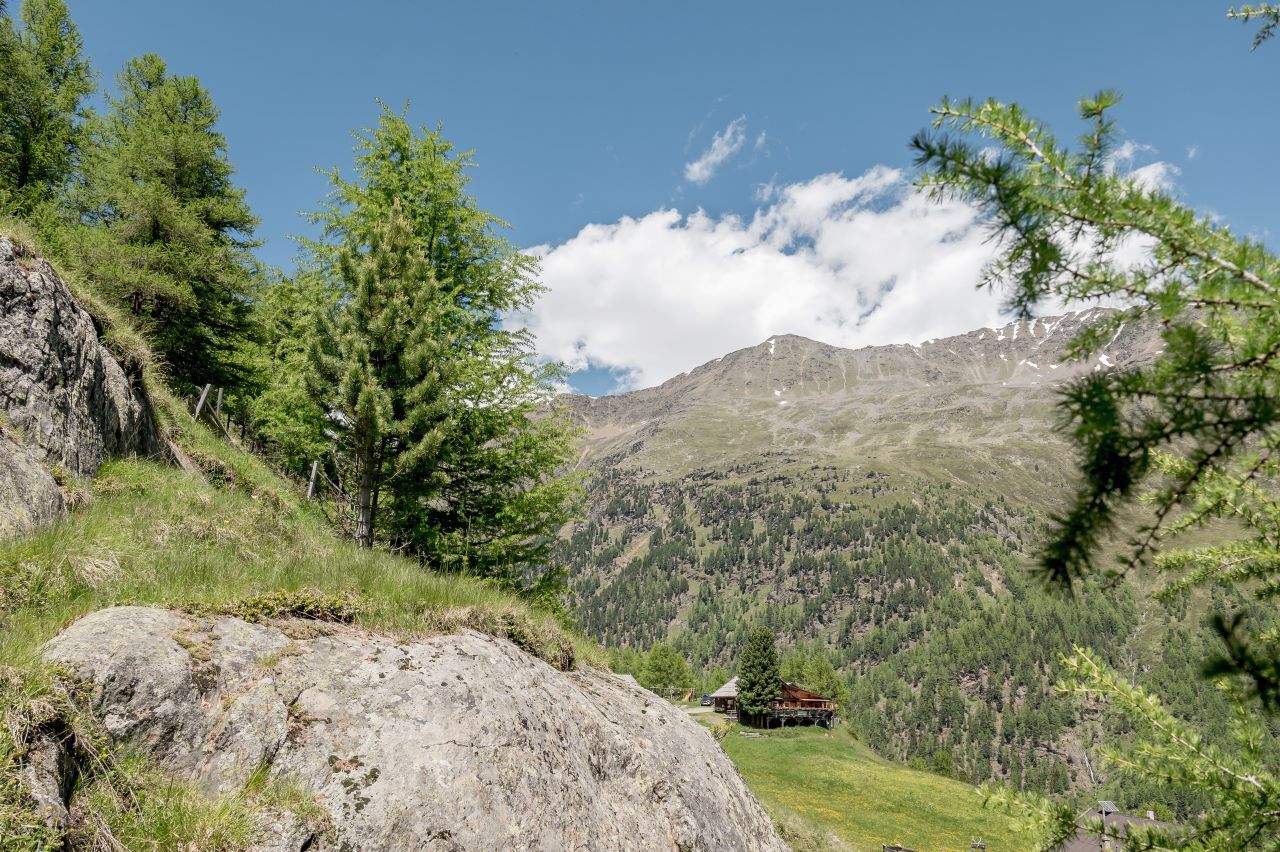
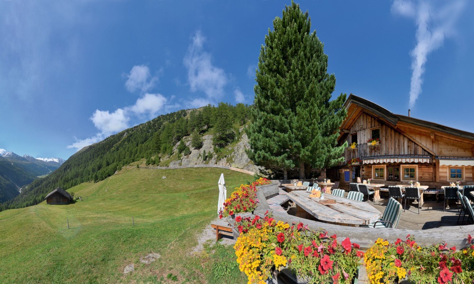
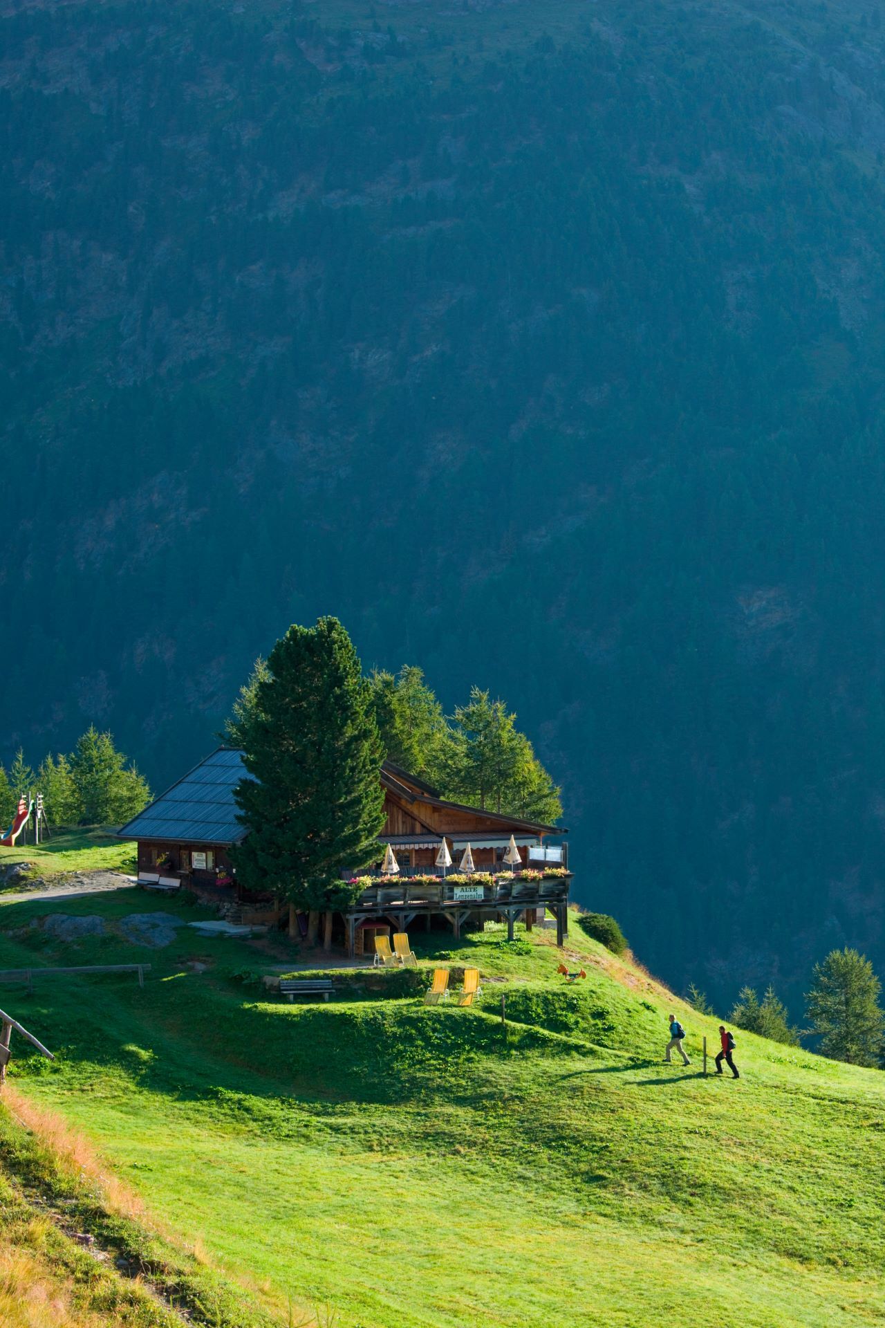
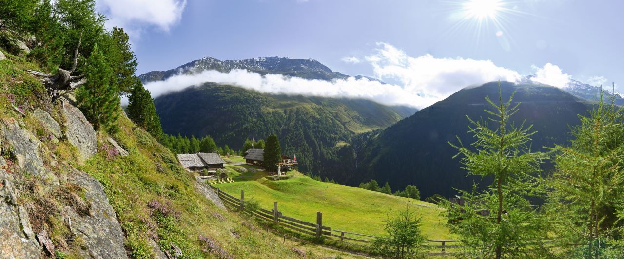
Lenzenalm
From Zwieselstein Bridge/Gurgler Ache over wooden bridge towards the church, ascending through sparse forest to Gurgler Street. Continue along the hiking trail to the Lenzenalm junction. Over a wide ascending...
From Zwieselstein Bridge/Gurgler Ache over wooden bridge towards the church, ascending through sparse forest to Gurgler Street. Continue along the hiking trail to the Lenzenalm junction. Over a wide ascending forest road to the alpine hut. Or continue along the street to the next marker, then the narrow moderately to steeply ascending footpath to the alpine hut.


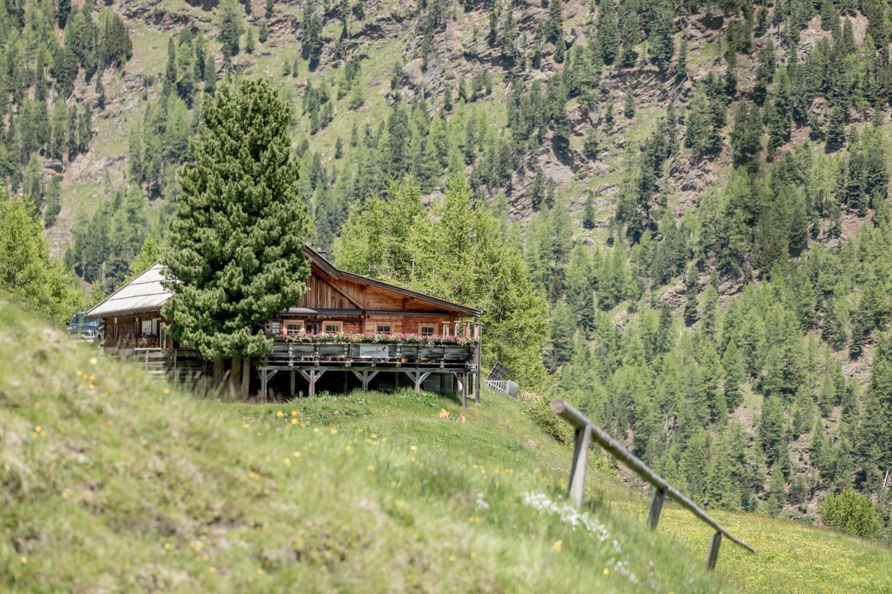
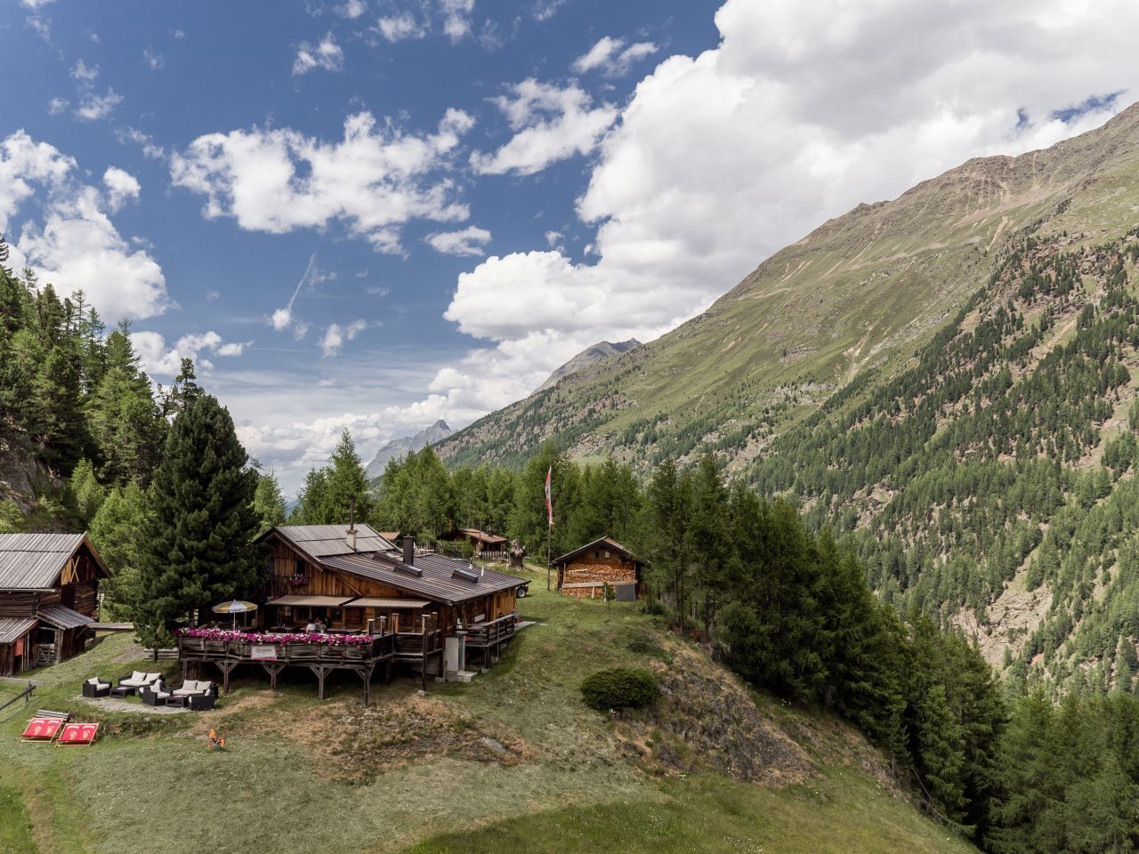
From Zwieselstein Bridge/Gurgler Ache over wooden bridge towards the church, ascending through sparse forest to Gurgler Street. Continue along the hiking trail to the Lenzenalm junction. Over a wide ascending forest road to the alpine hut. Or continue along the street to the next marker, then the narrow moderately to steeply ascending footpath to the alpine hut.
Da
Appropriate equipment such as breathable and weather-appropriate outdoor clothing, ankle-high hiking shoes, wind, rain, and sun protection, a cap, possibly gloves, is required for all hikes and routes. Carrying a first aid kit, a mobile phone, and possibly a hiking map, as well as sufficient provisions on hikes without dining options, is necessary.
For red mountain trails: medium-difficulty mountain path; suitable for sure-footed and experienced mountain hikers; good physical fitness, mountain experience, and mountaineering equipment (see equipment) required.
Please observe the current weather report at: https://www.oetztal.com/de/sommer.html
Driving into the ÖTZTAL. Located in Tyrol, the ÖTZTAL branches off southwards as the longest side valley of the Eastern Alps. Traveling by car takes visitors through the Inn Valley to the valley entrance and further along the Ötztal. In addition to the toll motorway, country roads can also be used. Your route can be quickly and conveniently planned using the route planner: To the route planner: https://www.google.at/maps
Travel comfortably and safely by train to Ötztal station. The final stop or point to get off is ÖTZTAL station. Then you can travel conveniently and quickly with public transport or local taxi services through the entire valley to your desired destination. The current bus schedule is available at: http://fahrplan.vvt.at
The following parking options are available in Sölden:
Postplatz parking lot Stiegele parking lot Step parking lot Giggijochbahn + underground garage Gaislachkoglbahn + underground garage Hochsölden parking lot Hochsölden parking garage 1st deckThe parking lots are subject to charges.
For parking multiple days (e.g., hut tour):
Gaislachkoglbahn parking garage, parking ticket either online or directly at the Gaislachkoglbahn ticket office
More info about hiking in the Ötztal: https://www.oetztal.com/wandern
Priljubljeni izleti v okolici
-
4.7
Wilde Wasser Weg - Fortgeschritten
srednjaPohodništvo 12.0 km -
4.3
Amberger Hut - Längenfeld/Gries
srednjaPohodništvo 5.60 km -
4.4
Hochtour Wildspitze, 3.768m
srednjaVisokogorska tura 9.75 km -
3.1
Tiefenbachglacier - Mountaineering Village Vent
srednjaPohodništvo 10.8 km -
4.5
Vent - Wilder Mann - Breslauer Hütte - Stableinalm
srednjaPohodništvo 7.25 km -
5.0
Dresdner hütte - sulzenauerhütte
srednjaPohodništvo 12.1 km -
4.1
Hohe Geige über Gawinden und den Westgrat
težkoPohodništvo 14.3 km -
5.0
Obergurgl - Ramolhaus
Pohodništvo 7 km -
5.0
Nissl Alm - Längenfeld/Gries
svetlobaPohodništvo 5.17 km -
4.0
E5 - 4. Etappe: Zams - Braunschweiger Hütte
srednjaPohodništvo v daljavo 5 km
Pohodništvo in sledenje


Ne zamudite ponudb in navdiha za naslednje počitnice
Vaš e-poštni naslov je bil dodan na poštni seznam.