



Hike: Hildesheimer Hut

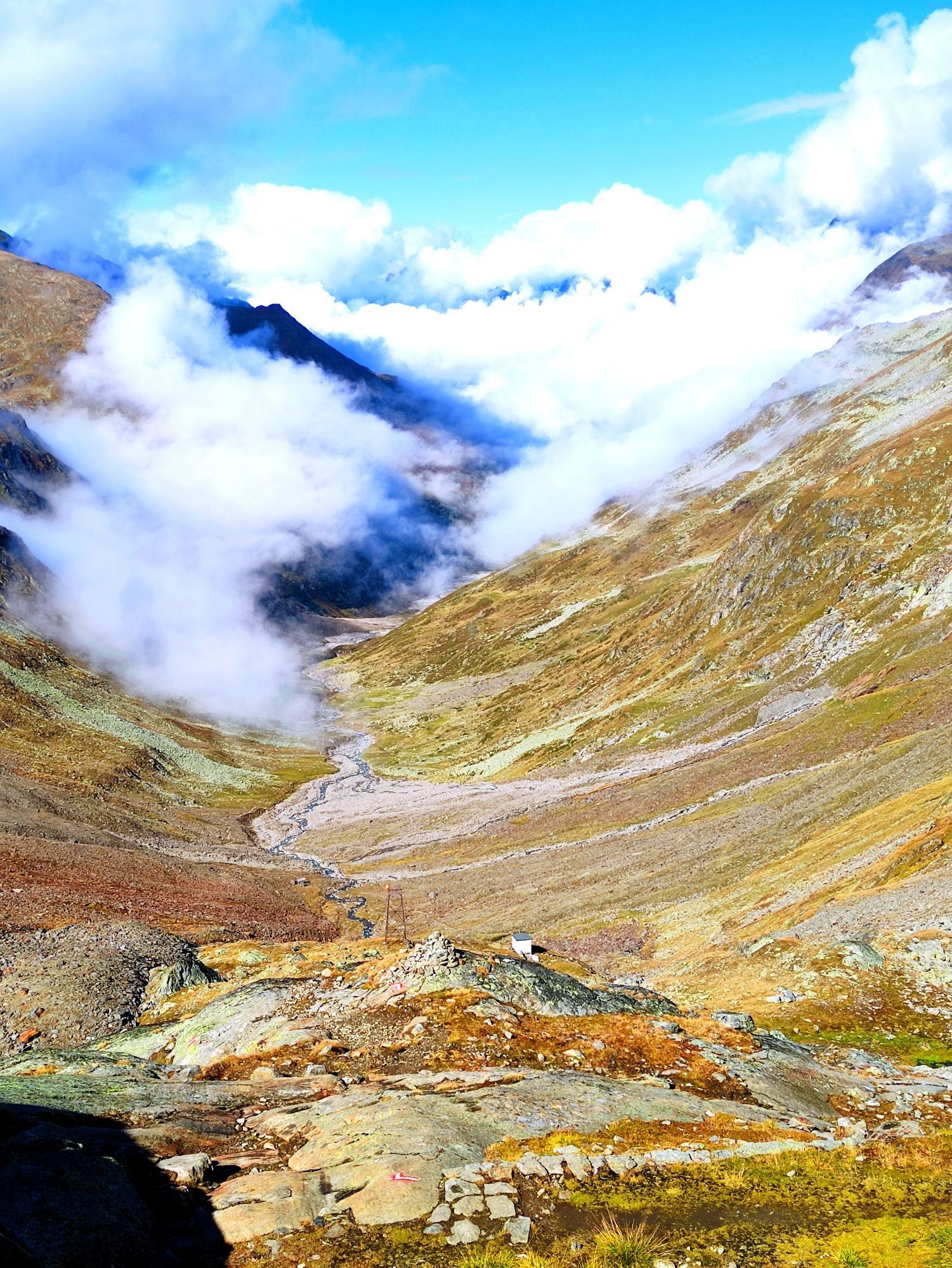
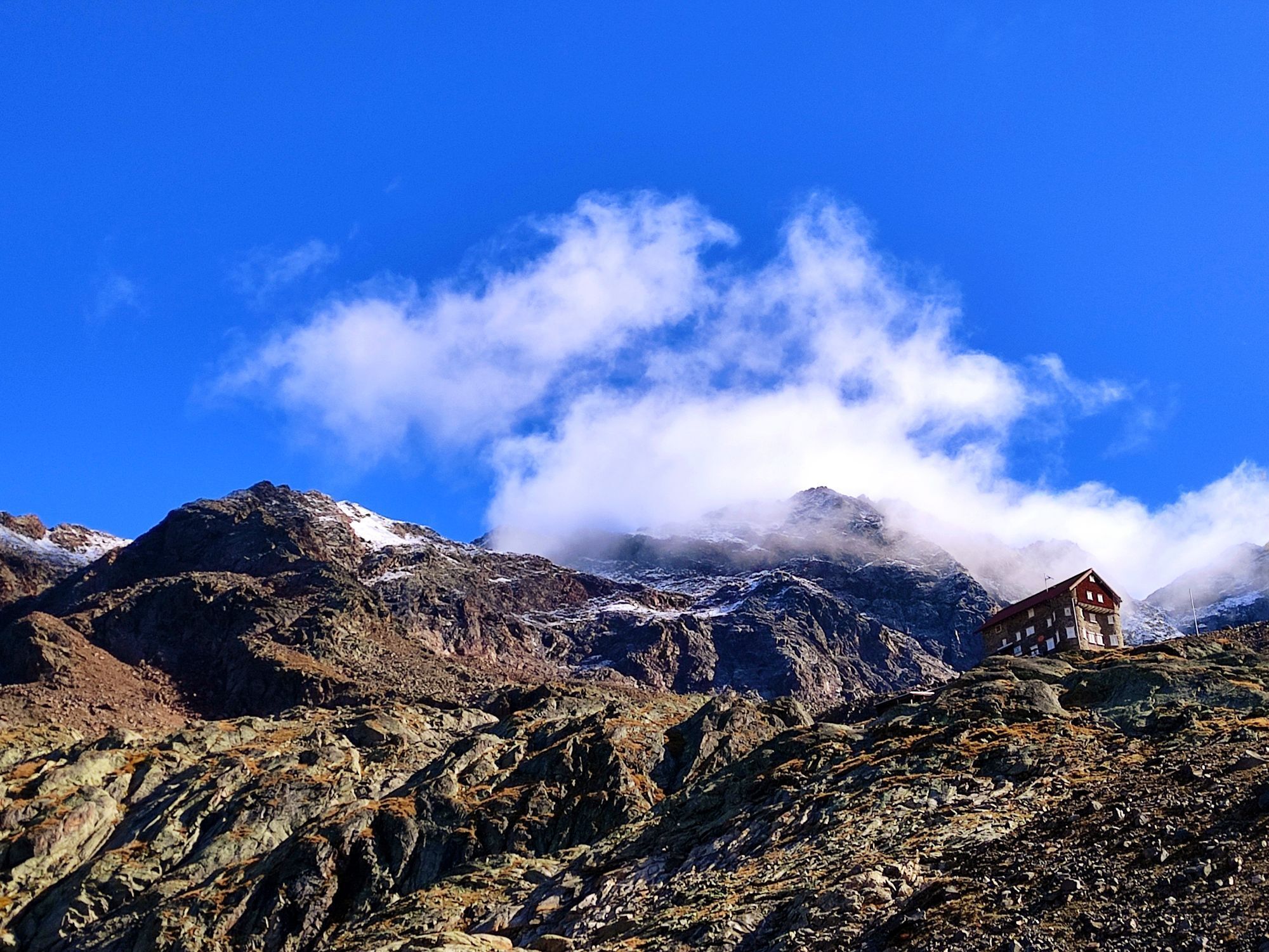
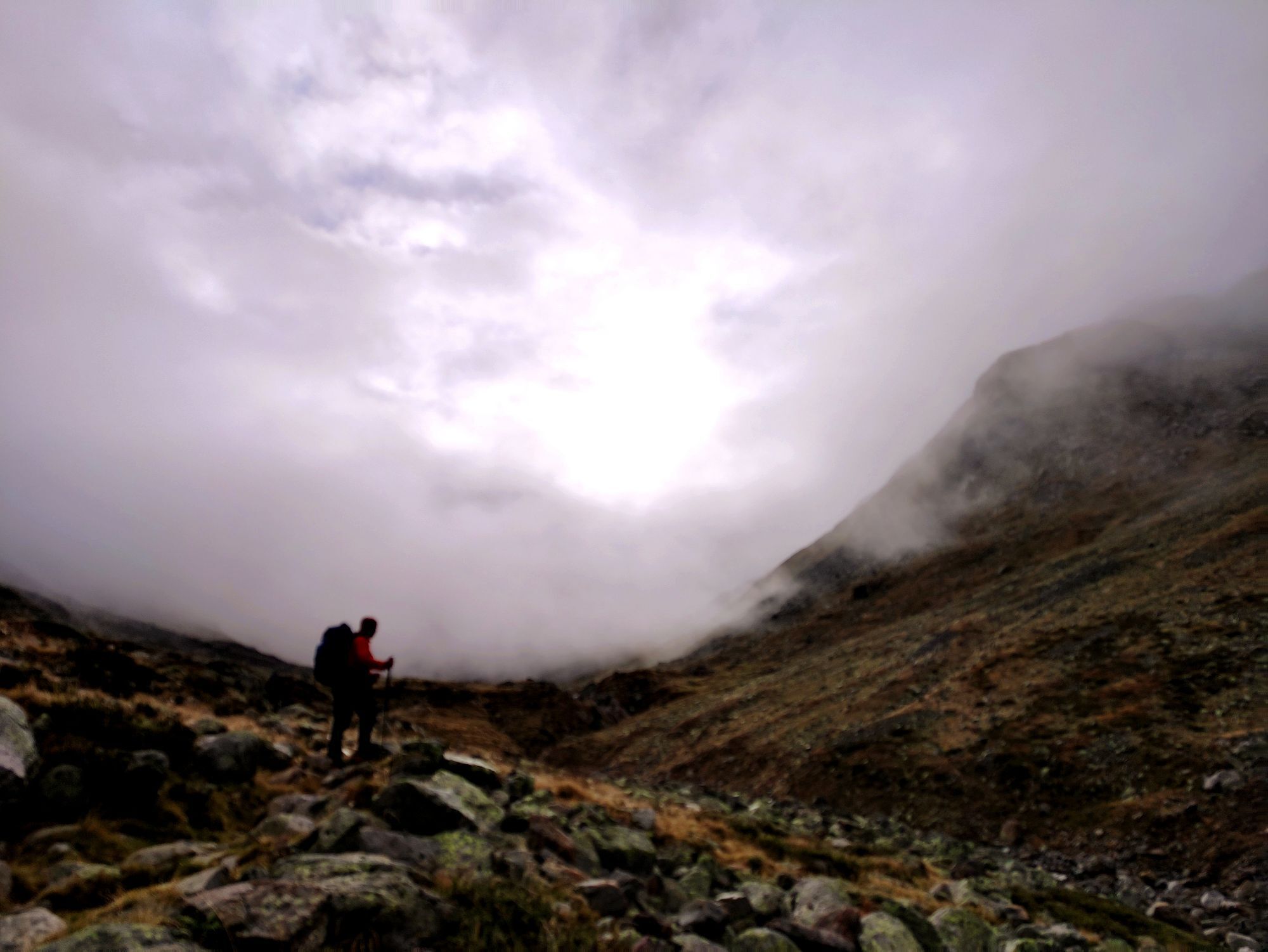
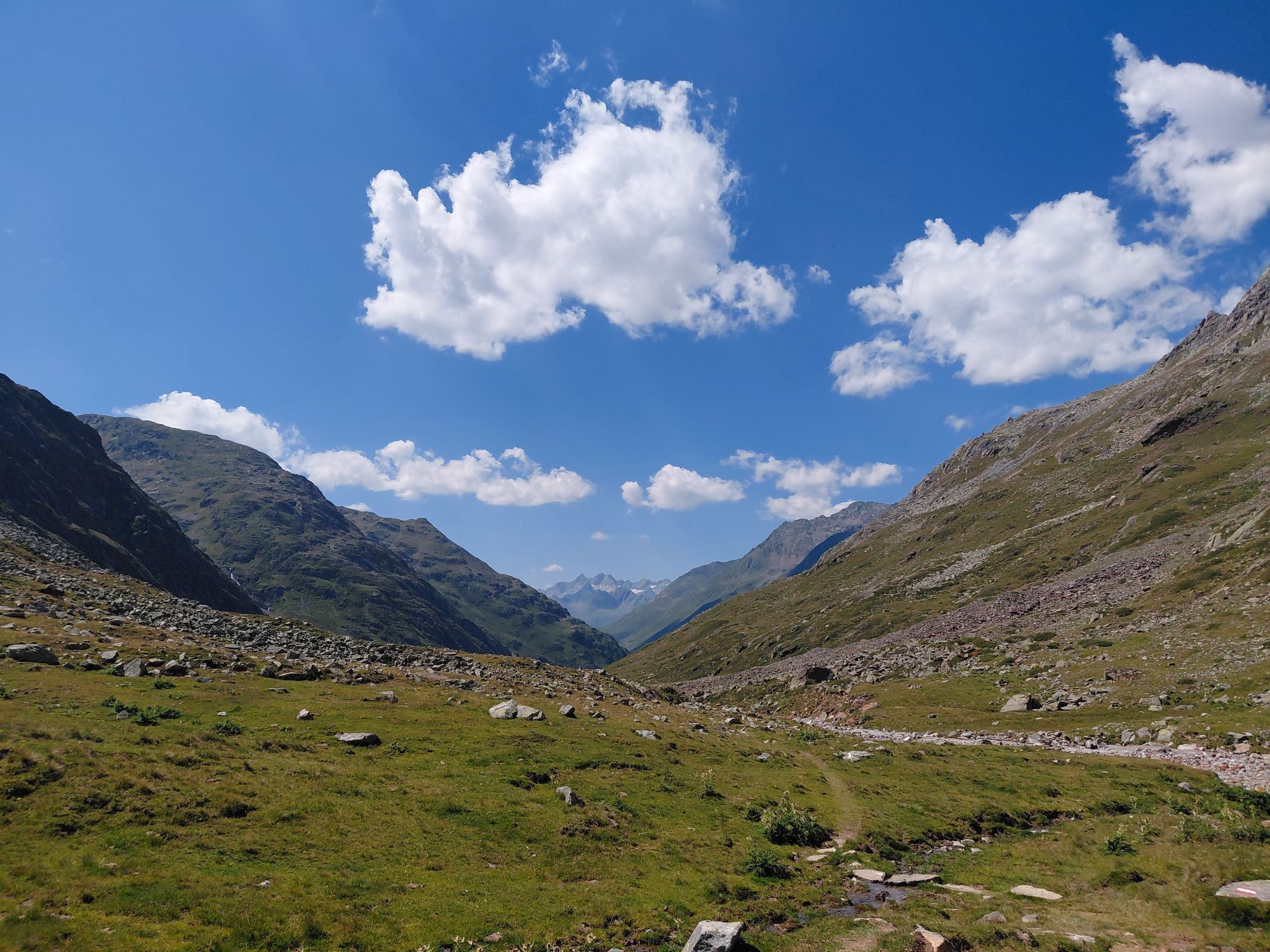
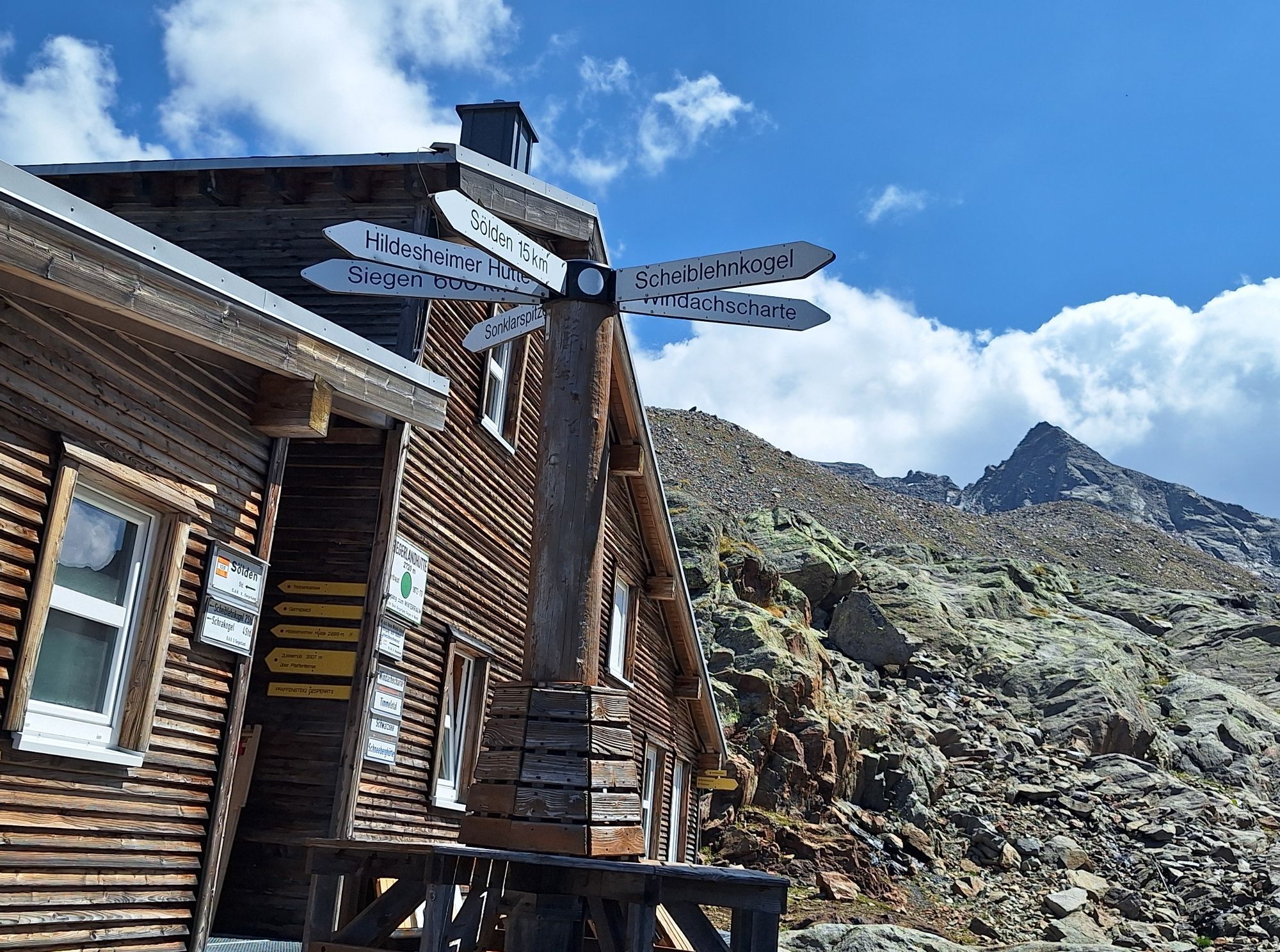
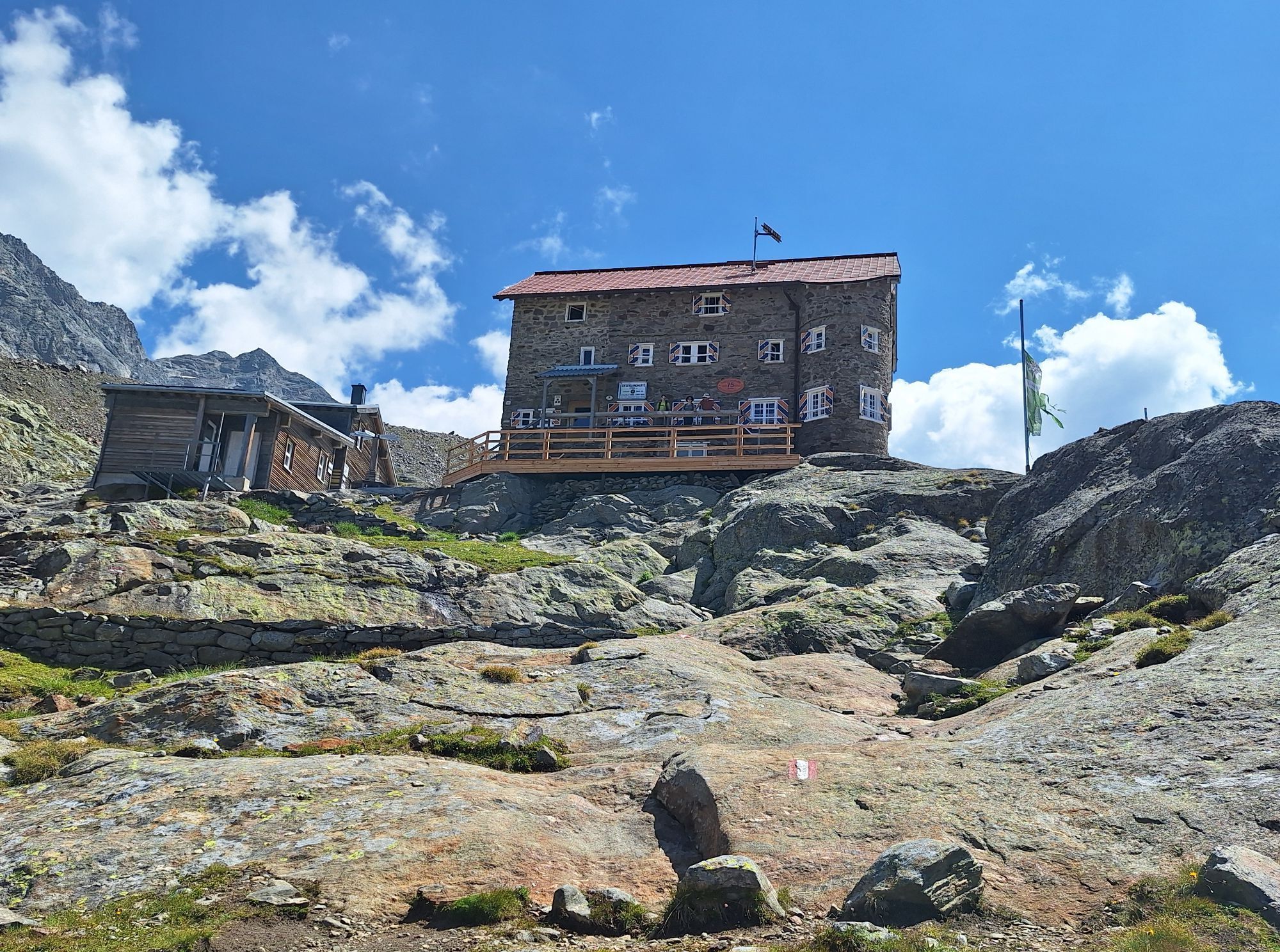
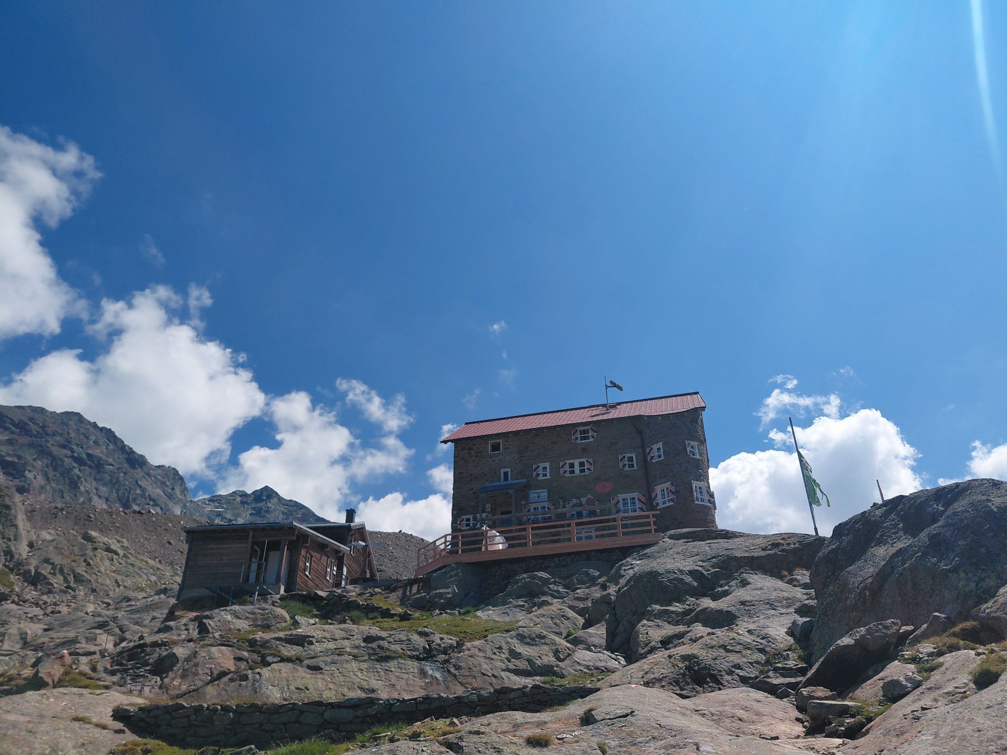
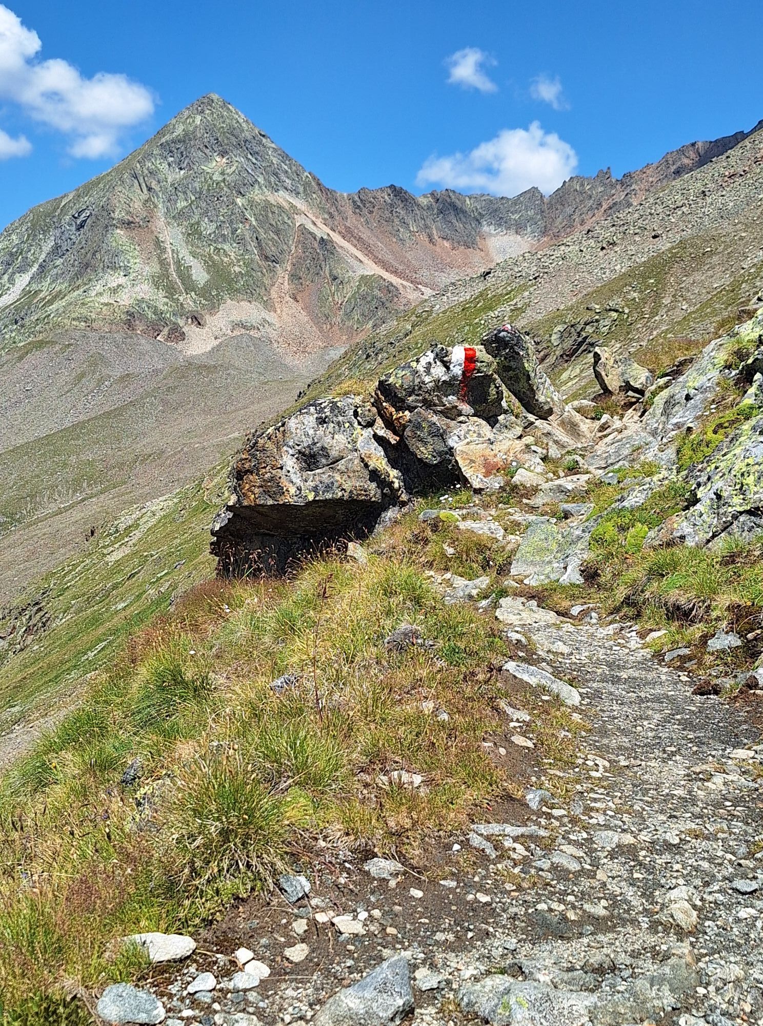
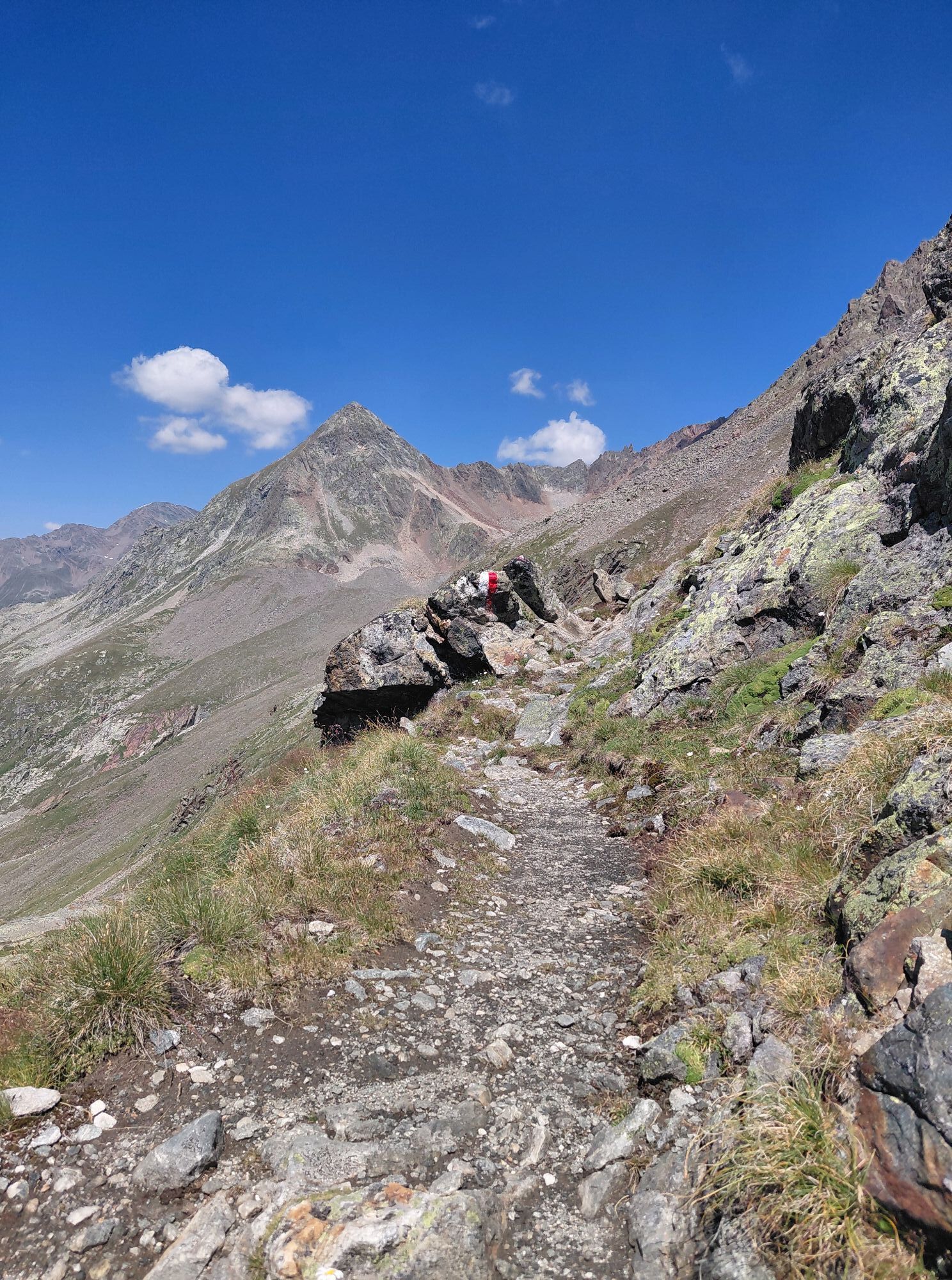
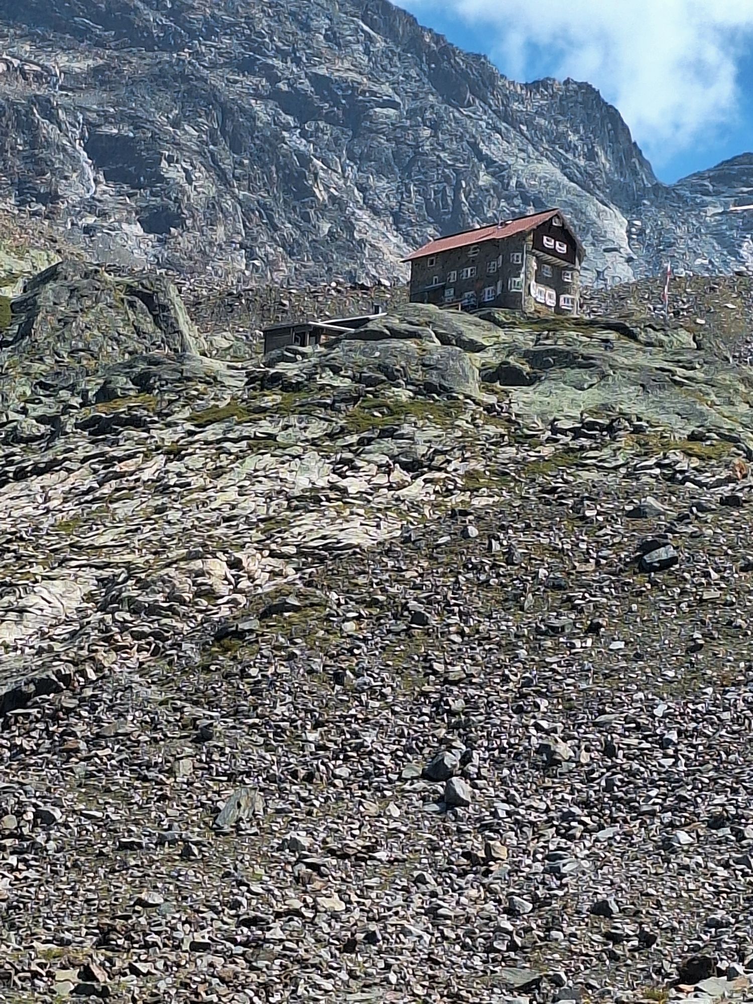
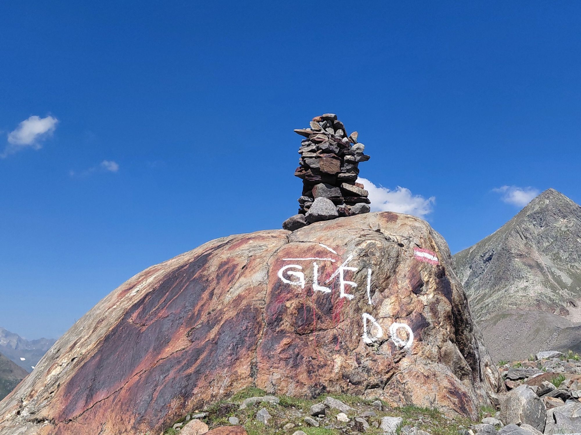
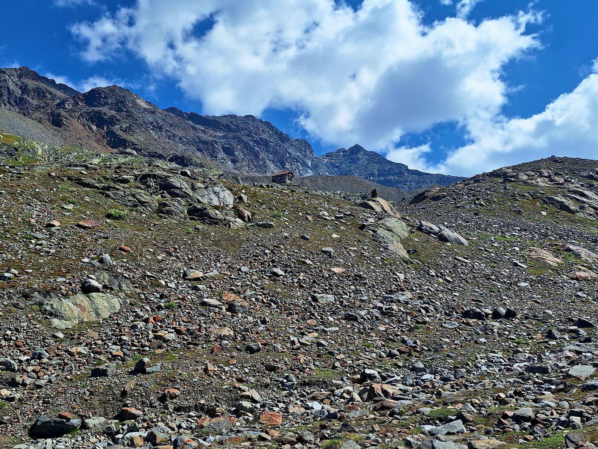
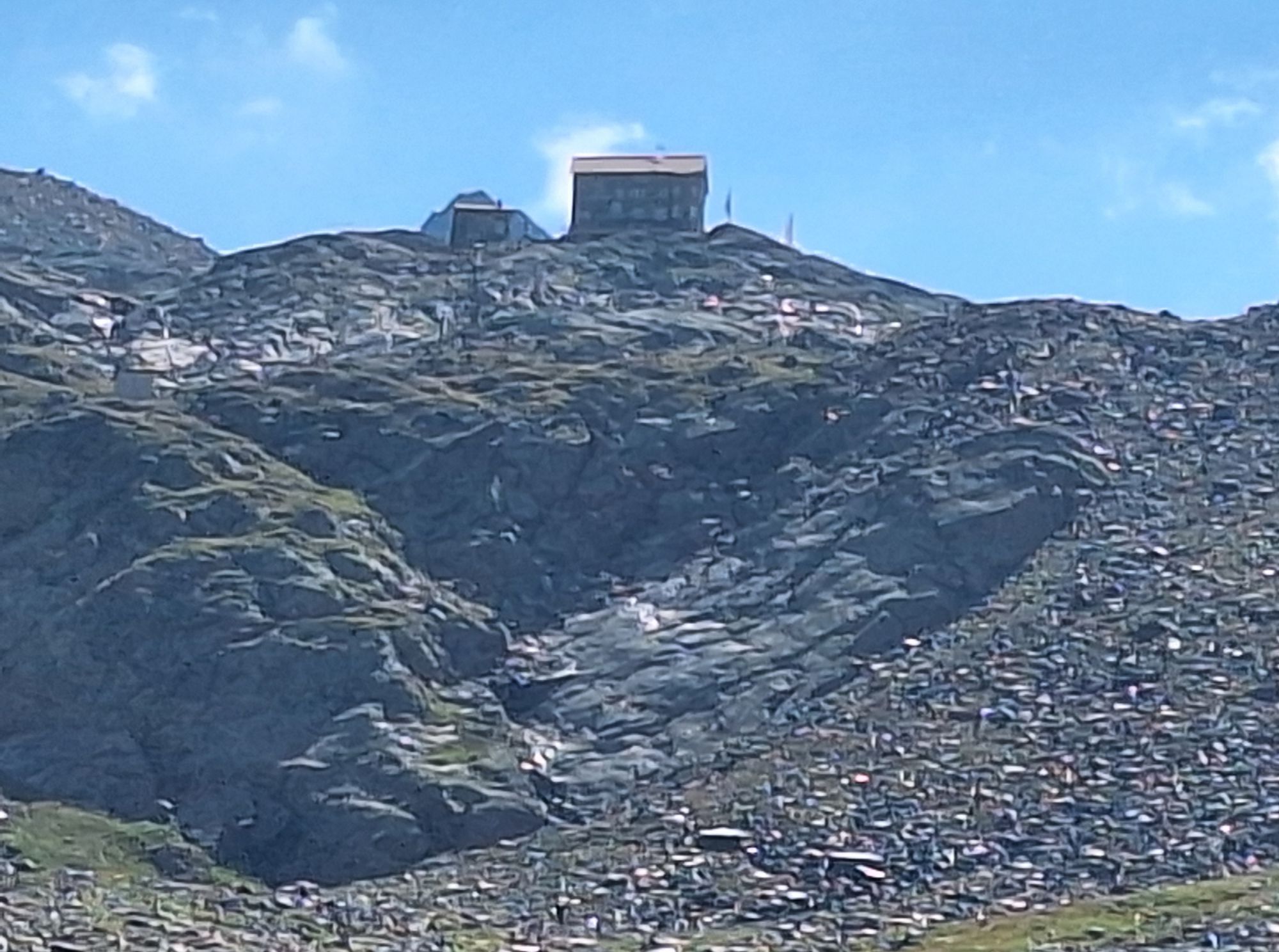
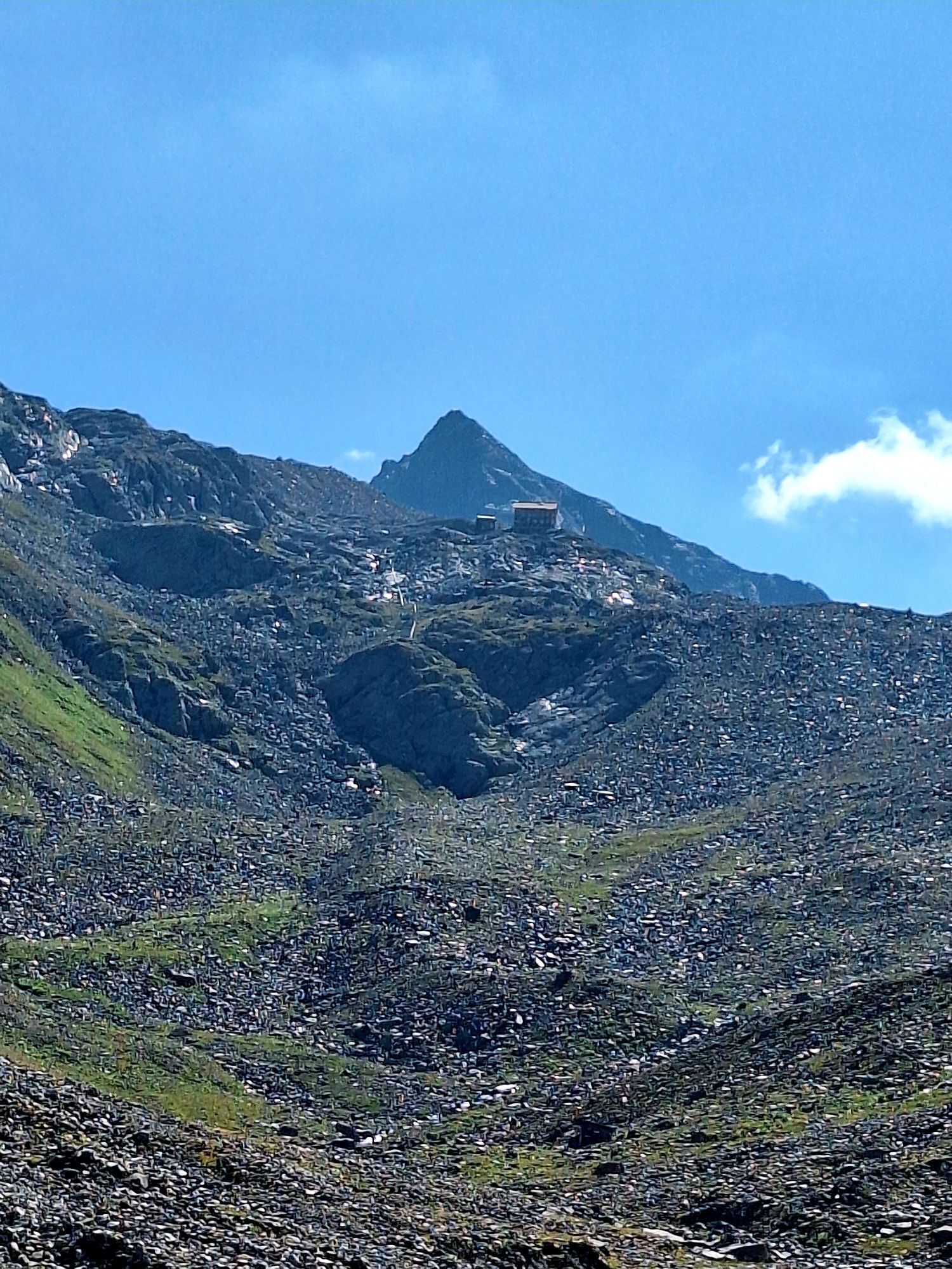
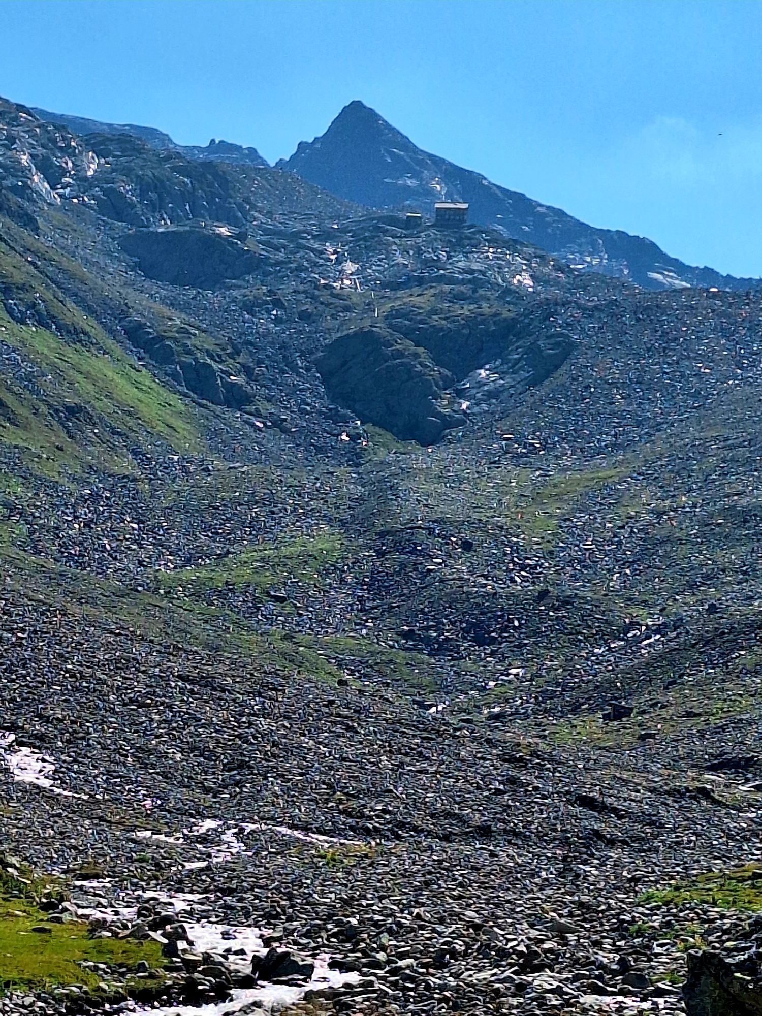
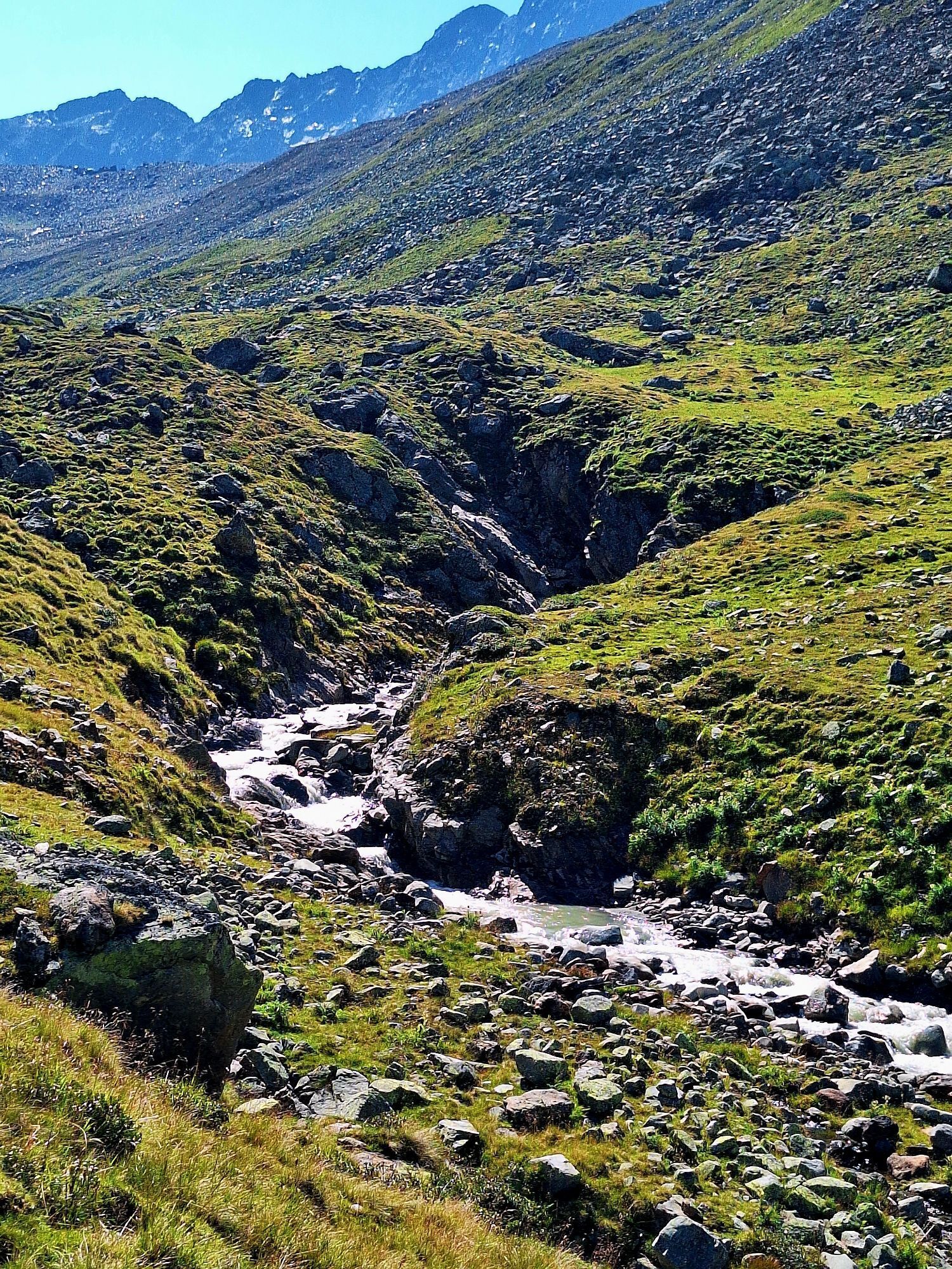
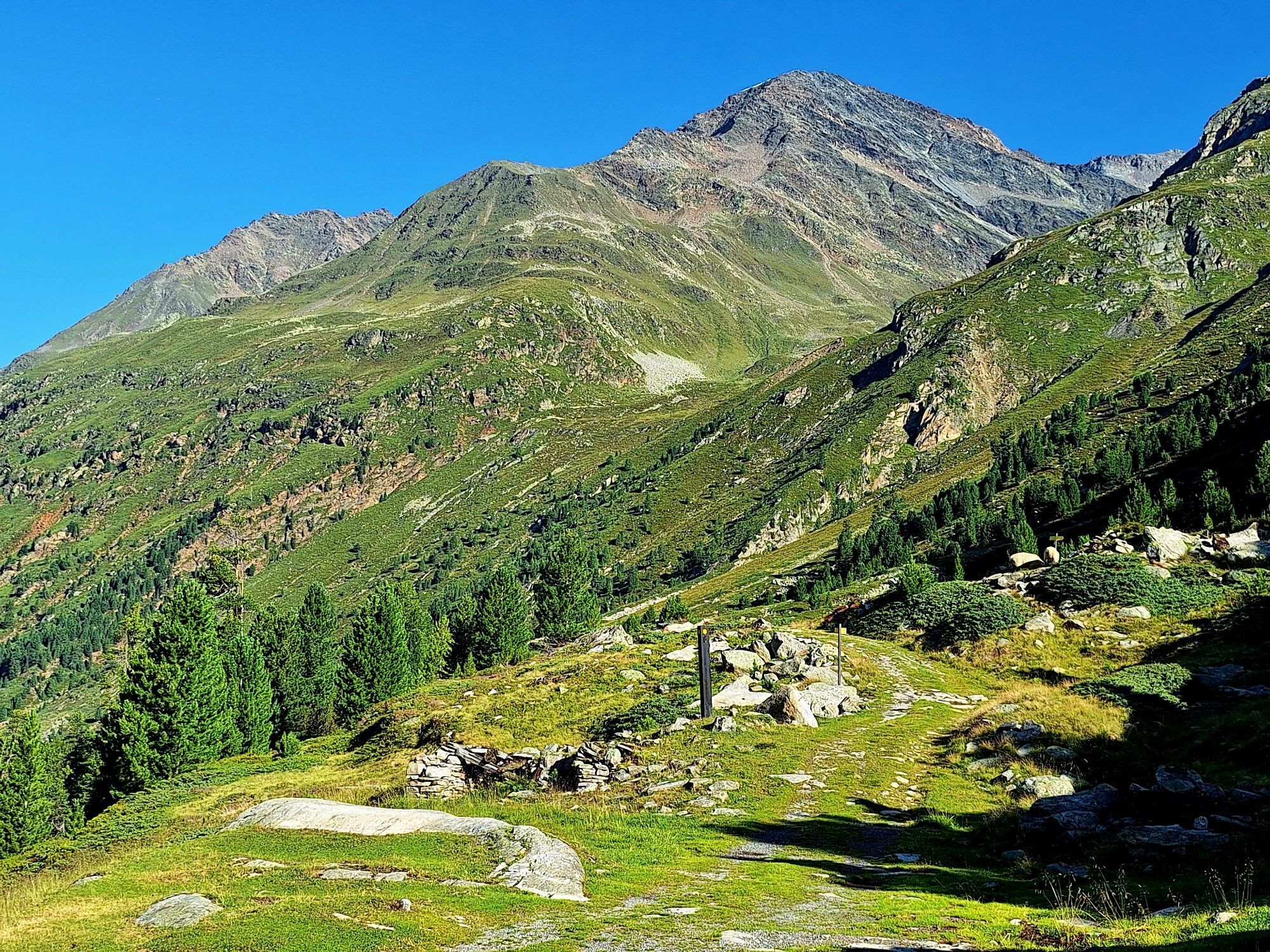
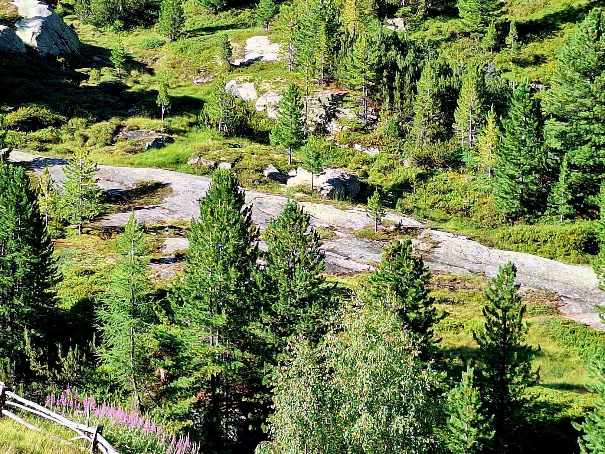
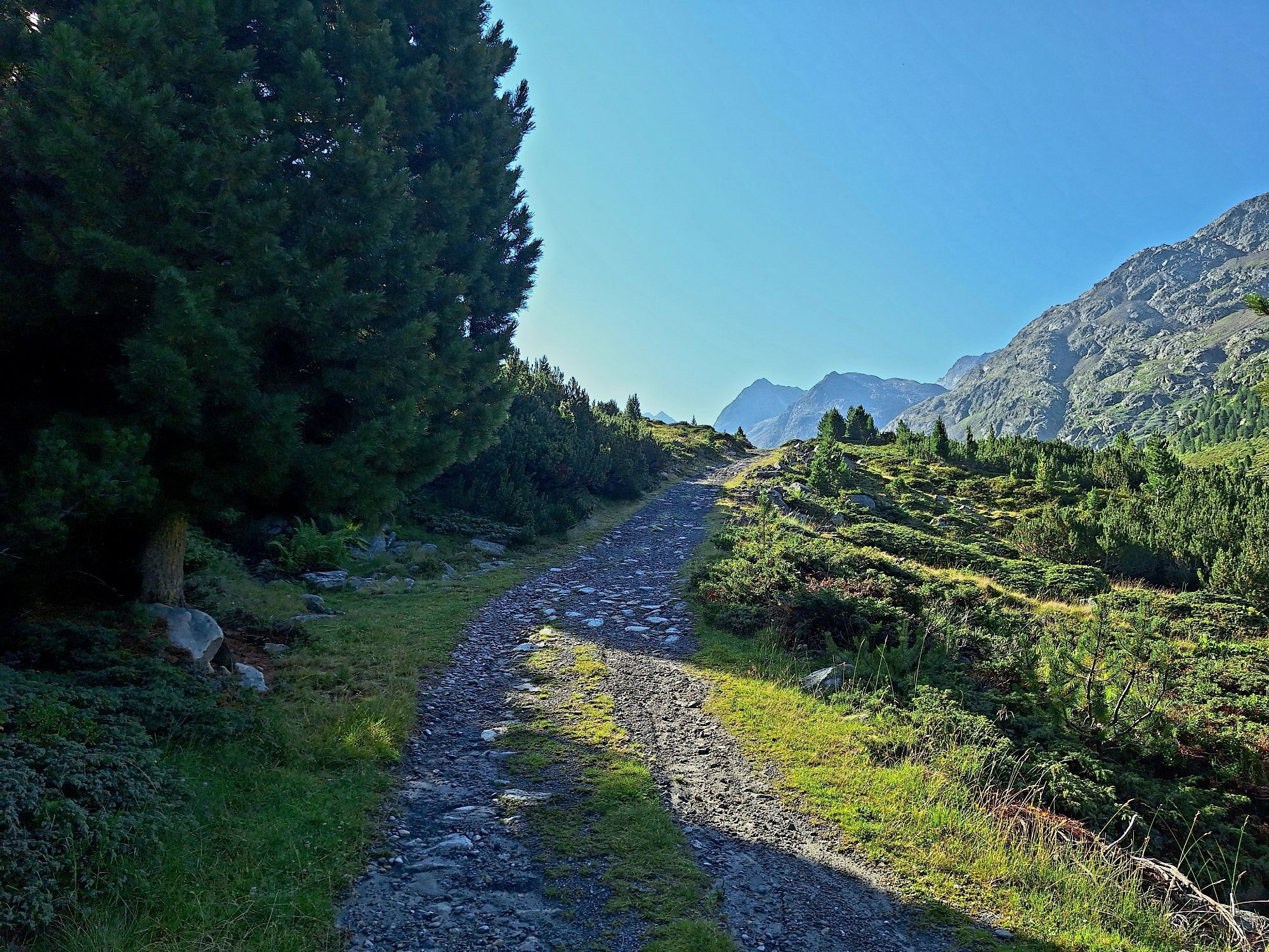
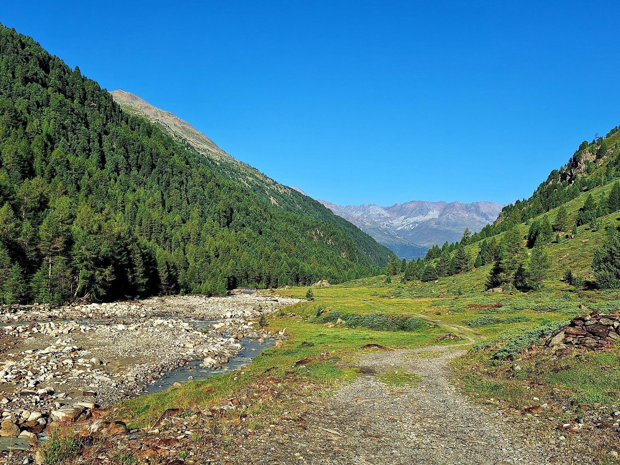
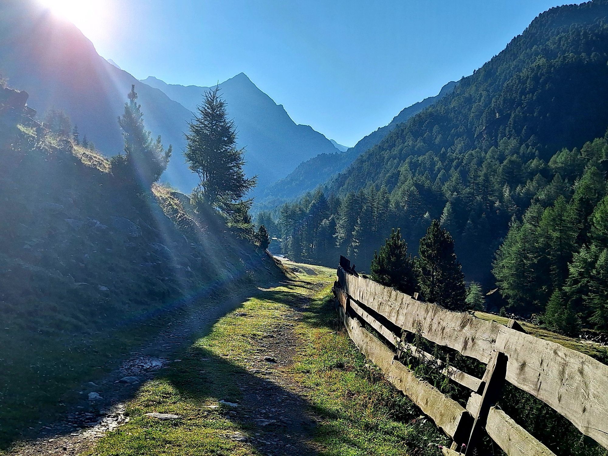
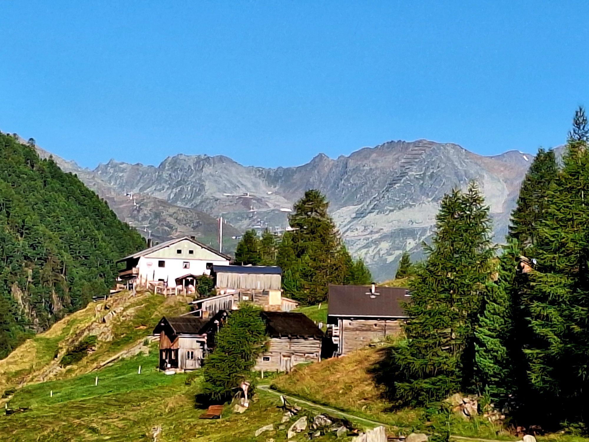
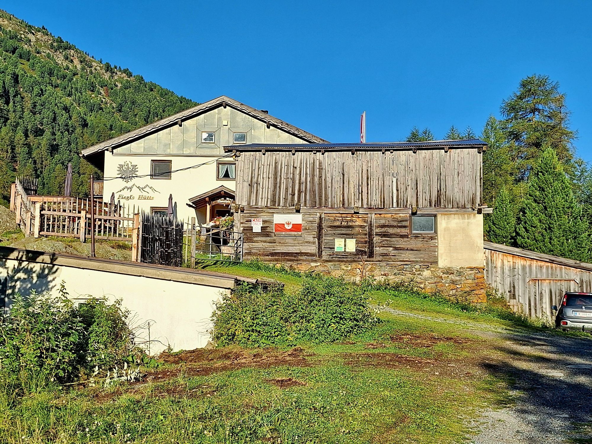
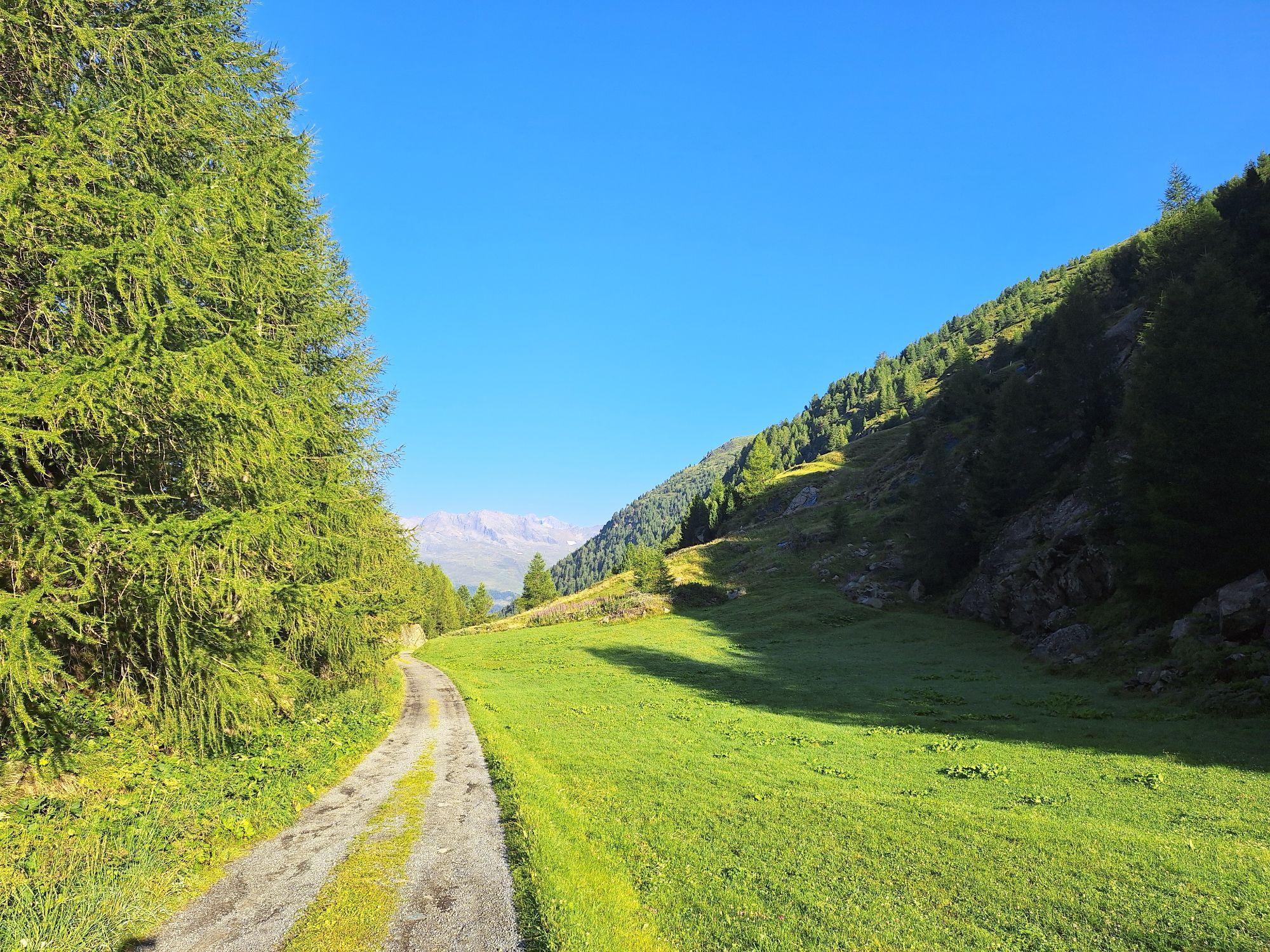
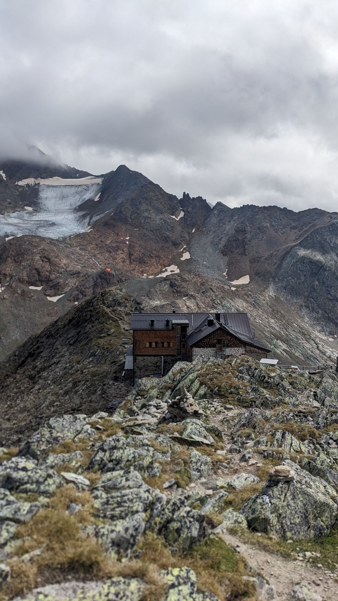
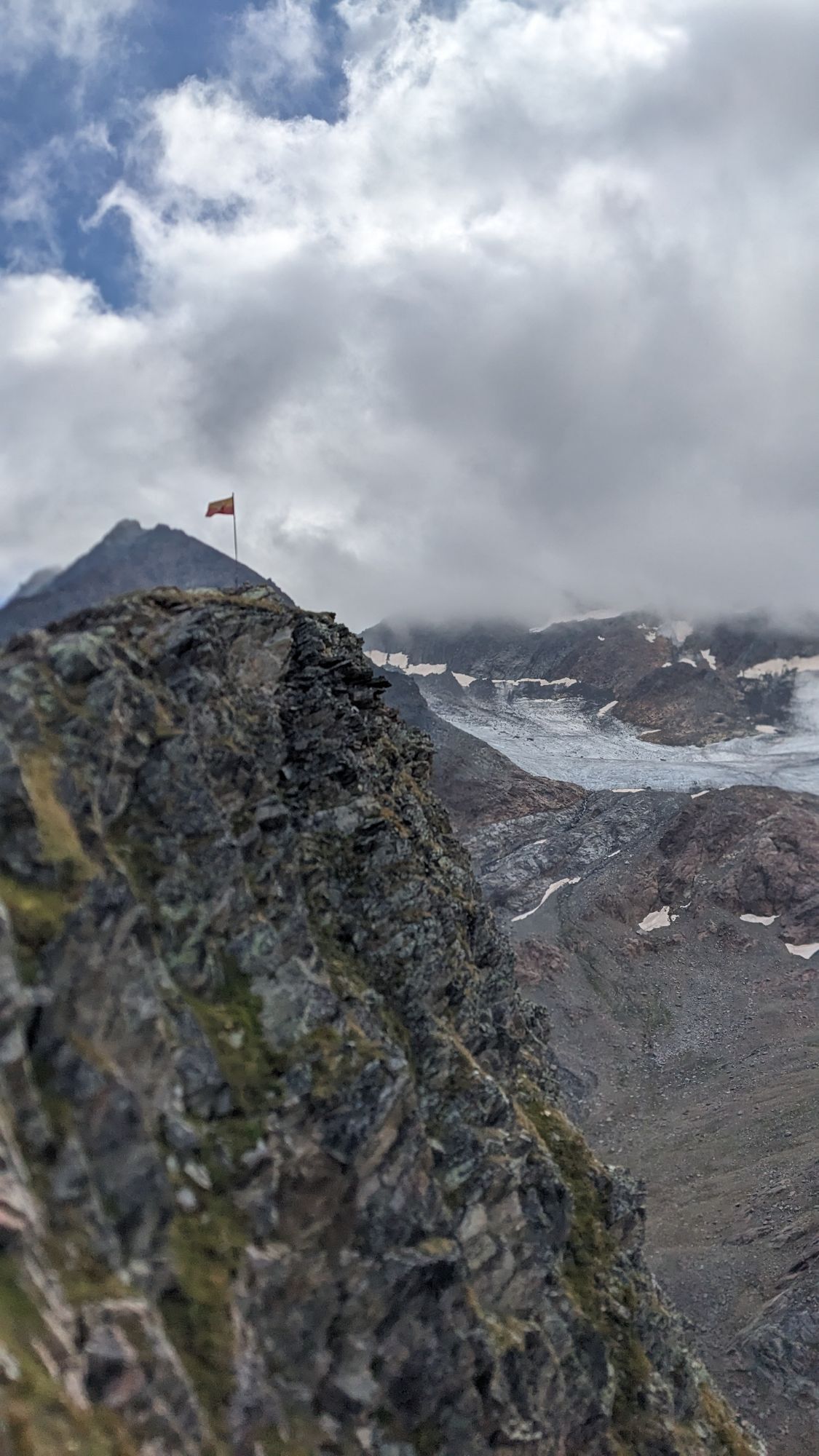
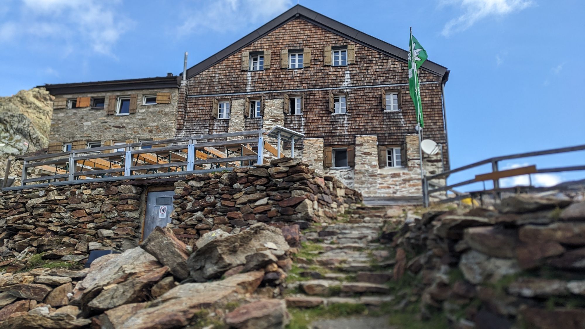
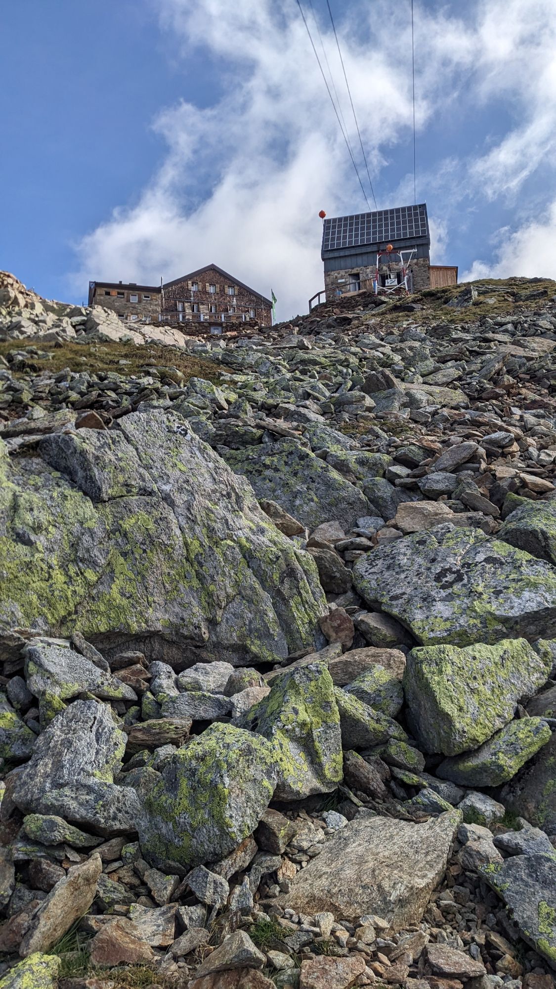
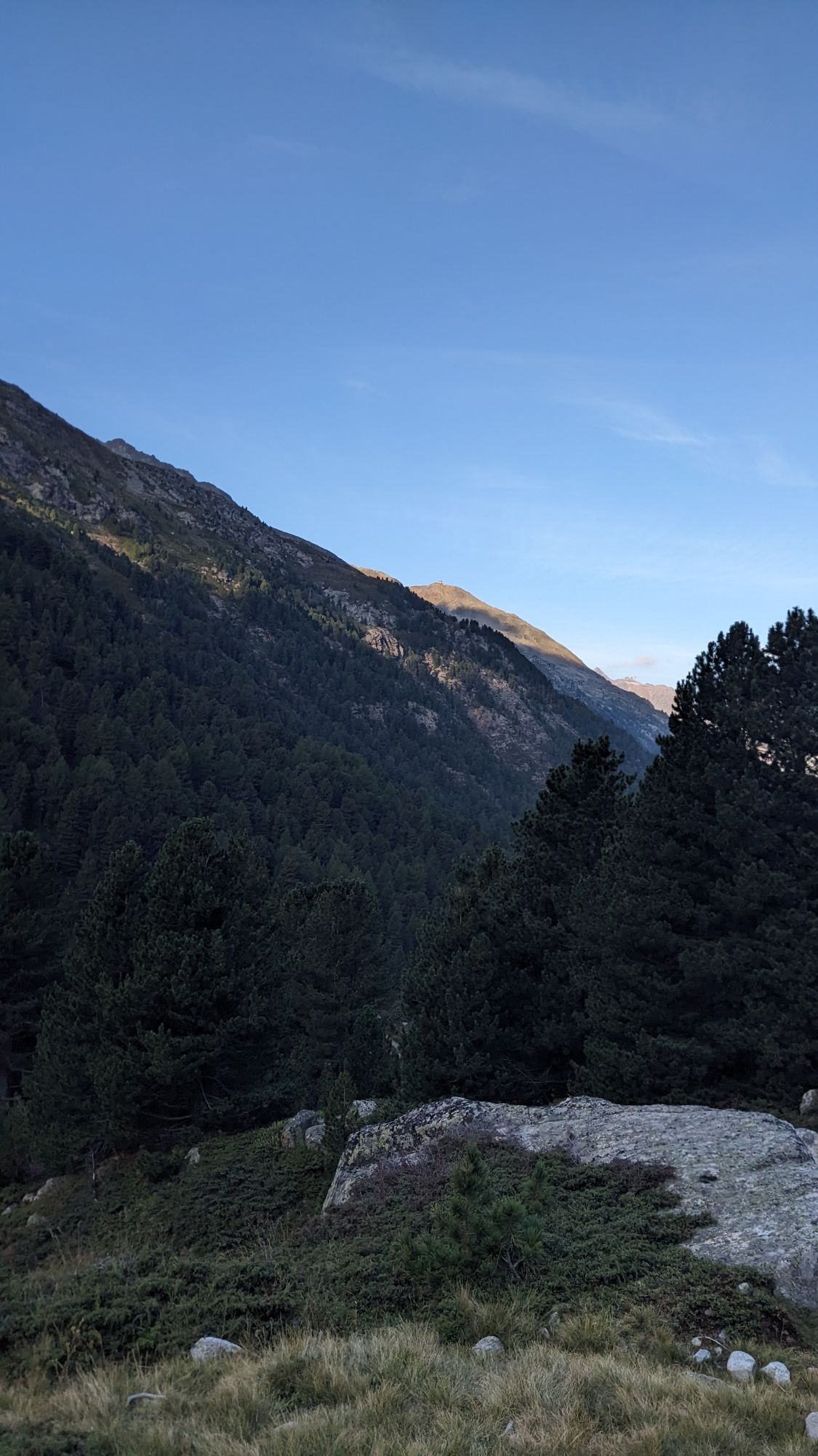
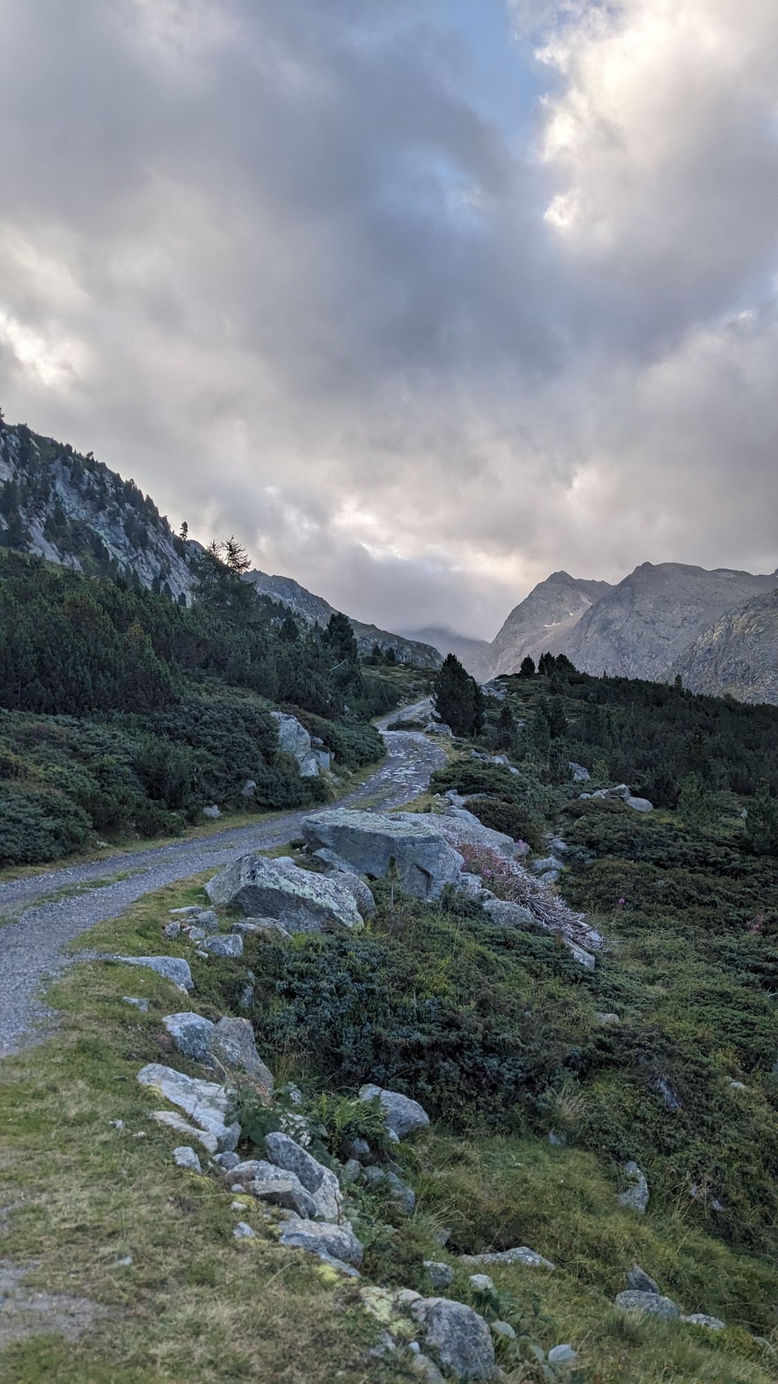


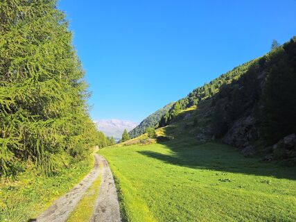
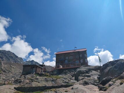
From the Fiegls Hut a beautiful hiking trail leads up to the Siegerland Hut. From Siegerland, the path crosses over Gamsplatzl to the strikingly located Hildesheimer Hut.

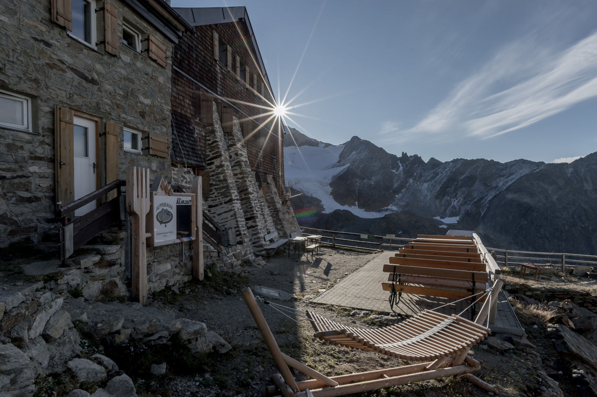
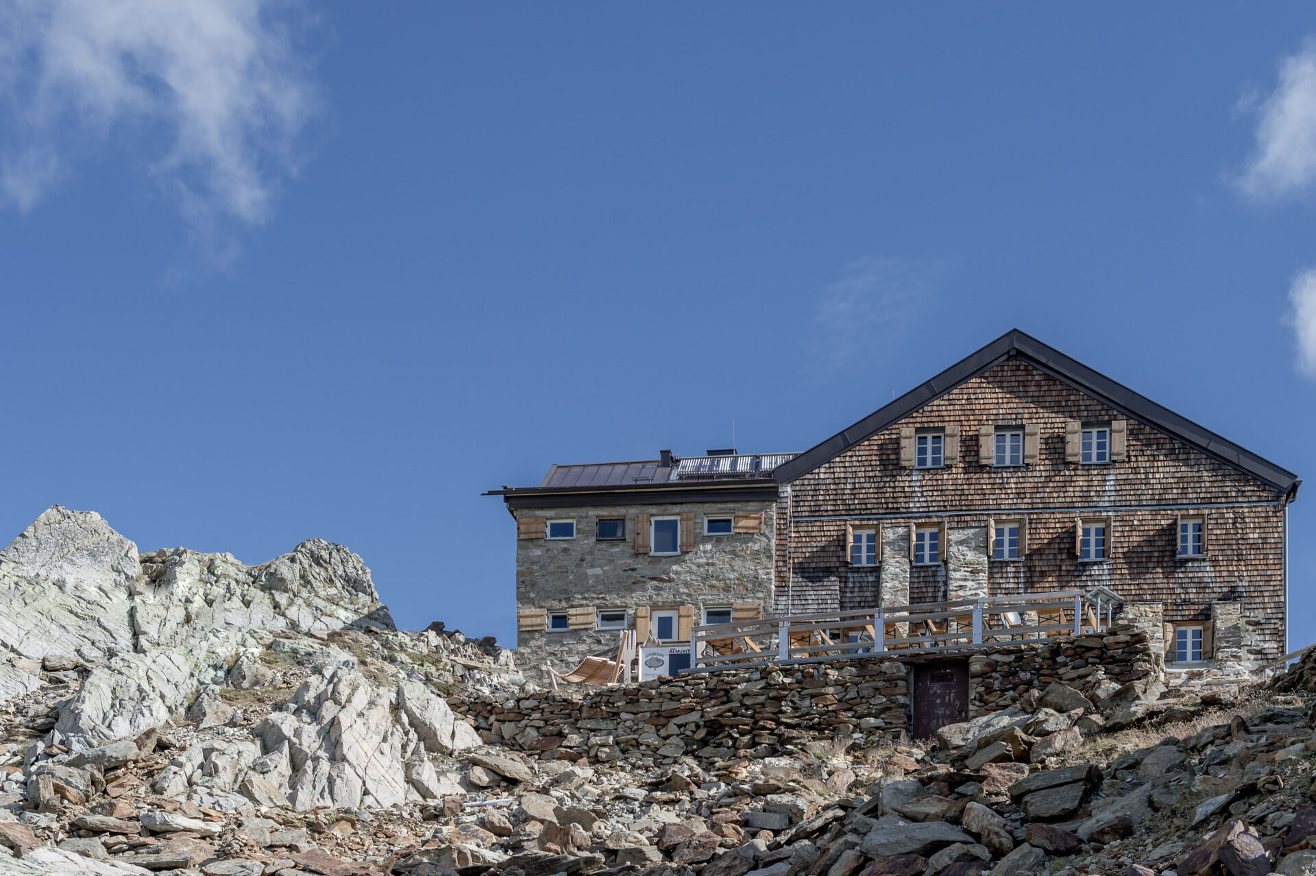
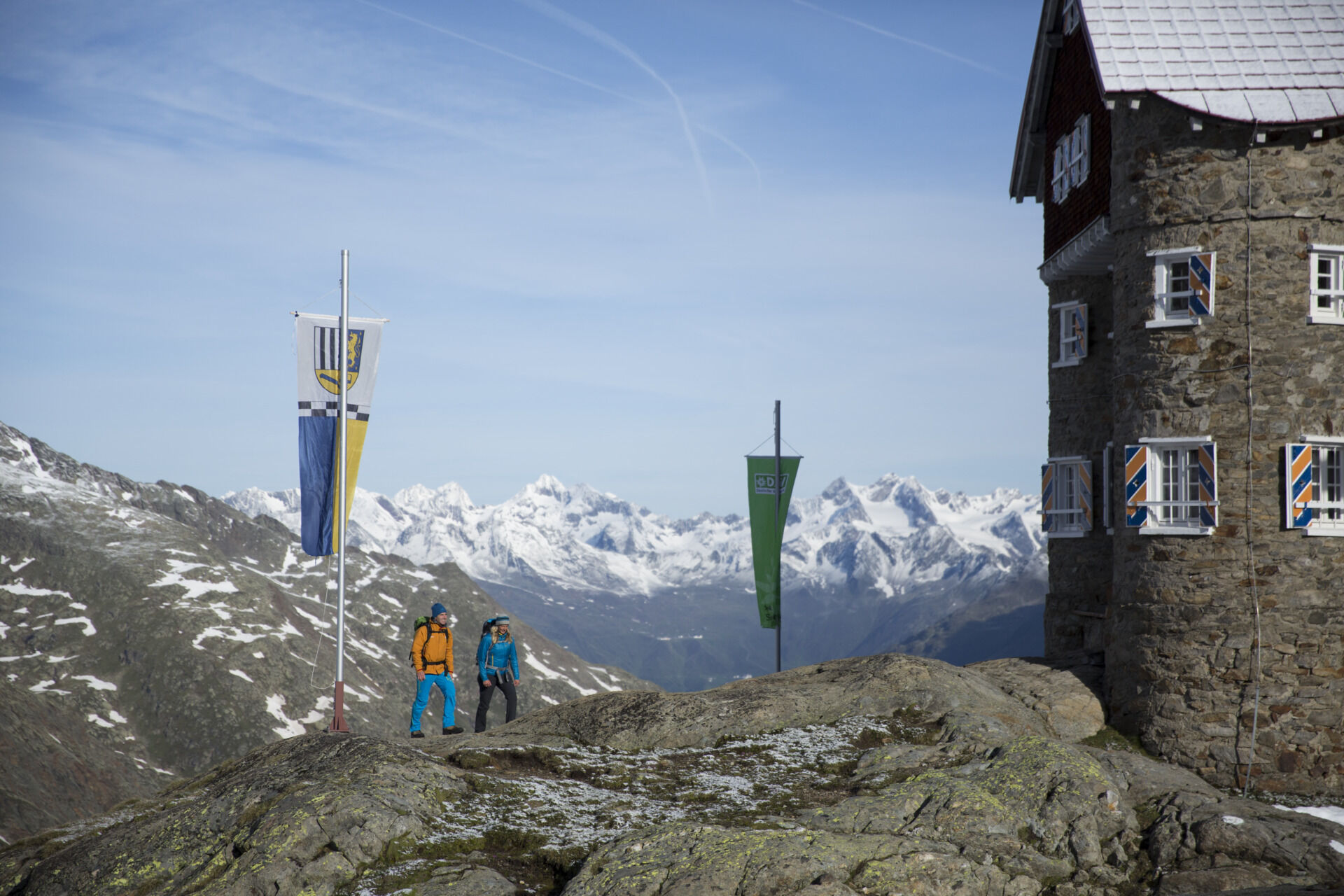

From the Fiegls Hut a beautiful hiking trail leads up to the Siegerland Hut. From Siegerland, the path crosses over Gamsplatzl to the strikingly located Hildesheimer Hut.
Appropriate equipment such as breathable and weather-appropriate outdoor clothing, ankle-high hiking boots, wind, rain and sun protection, a cap, possibly gloves, is recommended for all hikes and tours.
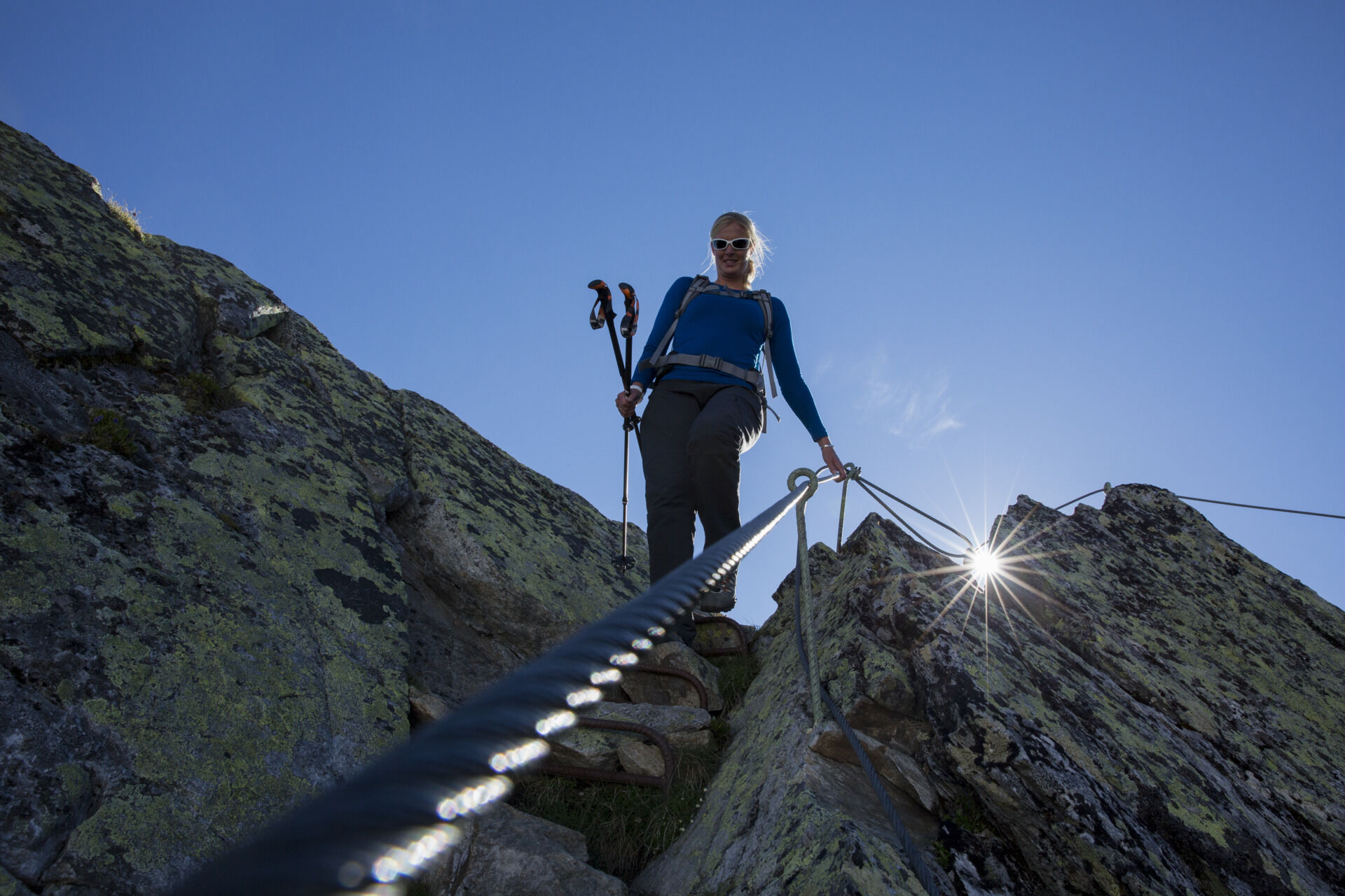
Black mountain trails are narrow paths, almost entirely steep and exposed. Anyone taking a black mountain trail must expect secured walking and climbing sections. Black mountain trails are marked on yellow base signs with a black circle as a difficulty indication.
Parking lots:
* Giggijoch Cable Car
* Postcar Park
* Leisure Arena
The parking lots in Sölden are fee-based.
Spletne kamere s turneje



Priljubljeni izleti v okolici
- 4.8
Wilde Wasser Weg - Fortgeschritten
srednjaPohodništvo 12.0 km - 5.0
Dresdner hütte - sulzenauerhütte
srednjaPohodništvo 12.1 km - 4.6
Passerschlucht
svetlobaPohodništvo 8.84 km - 4.5
Passerschlucht mit Stieber Wasserfällen, Trentino-Südtirol/Italien
srednjaPohodništvo 9.49 km - 4.3
Amberger Hut - Längenfeld/Gries
srednjaPohodništvo 5.60 km - 4.9
Seeber-See Rundweg
svetlobaGorski pohodništvo 7.96 km - 5.0
Obergurgl - Ramolhaus
Pohodništvo 7 km - 4.3
Water Walker Waal Path Mooserstegle Sölden
svetlobaTematska pot 4.64 km - 5.0
Siegerland Hut
srednjaPohodništvo 8.08 km - 4.8
07. 19.07.19 - Langeggbahn-Rotkogel–Schwarzsee-Schwarzkogel-Giggijochbahn
srednjaPohodništvo 6.67 km
Pohodništvo in sledenje


Ne zamudite ponudb in navdiha za naslednje počitnice
Vaš e-poštni naslov je bil dodan na poštni seznam.


