







Hochgurgl - Top Mountain Star
Stopnja težavnosti: T2
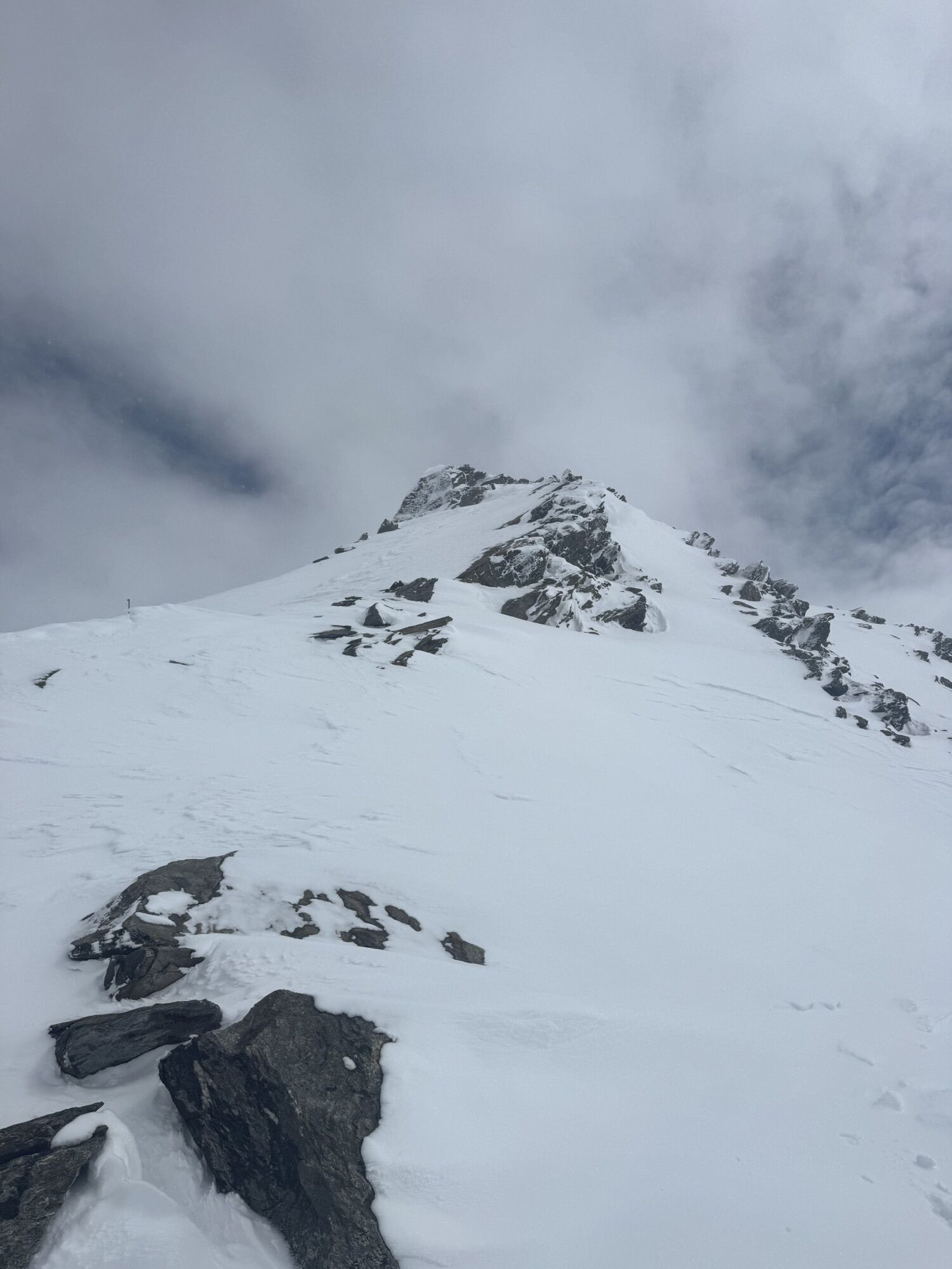
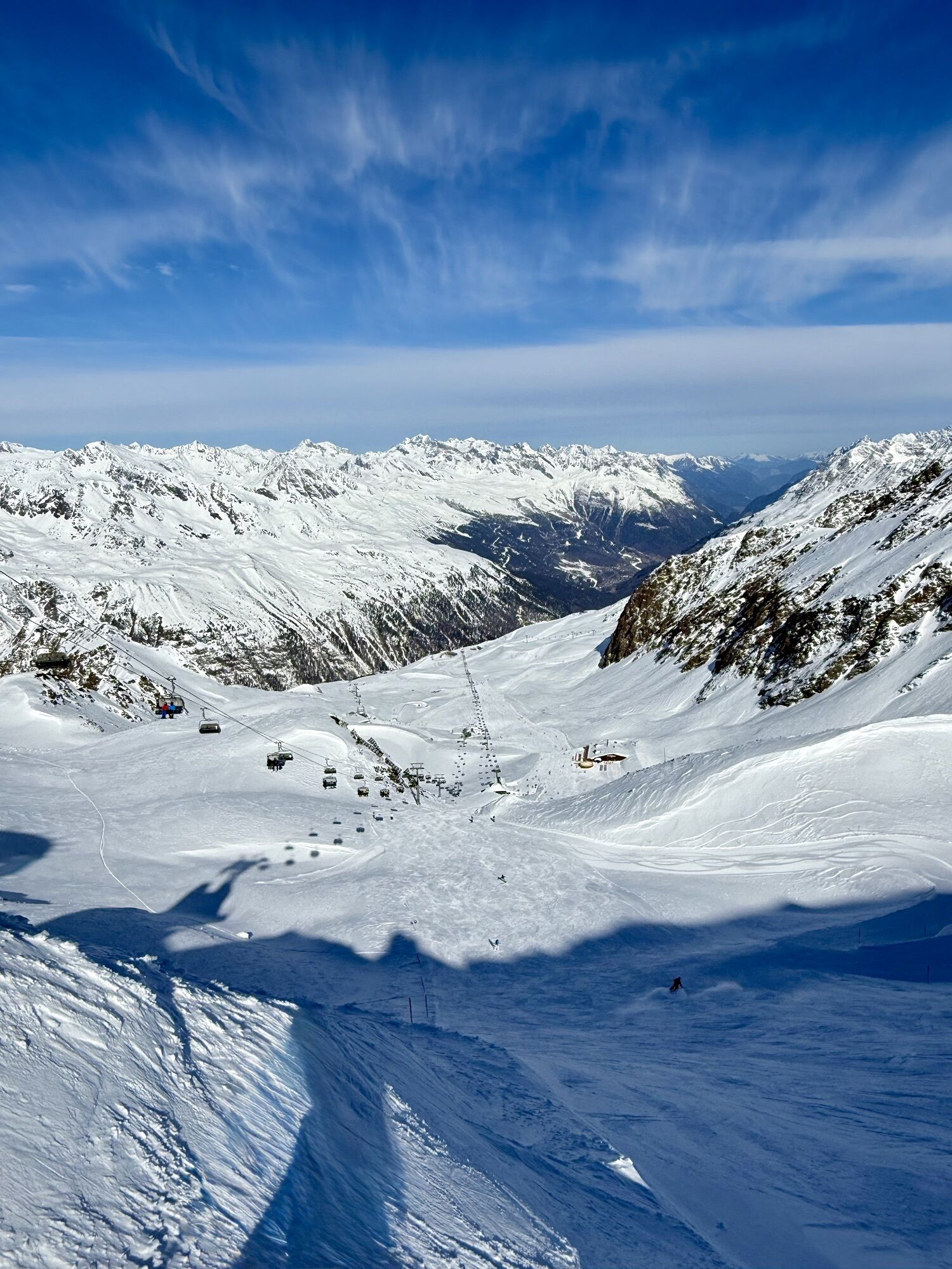
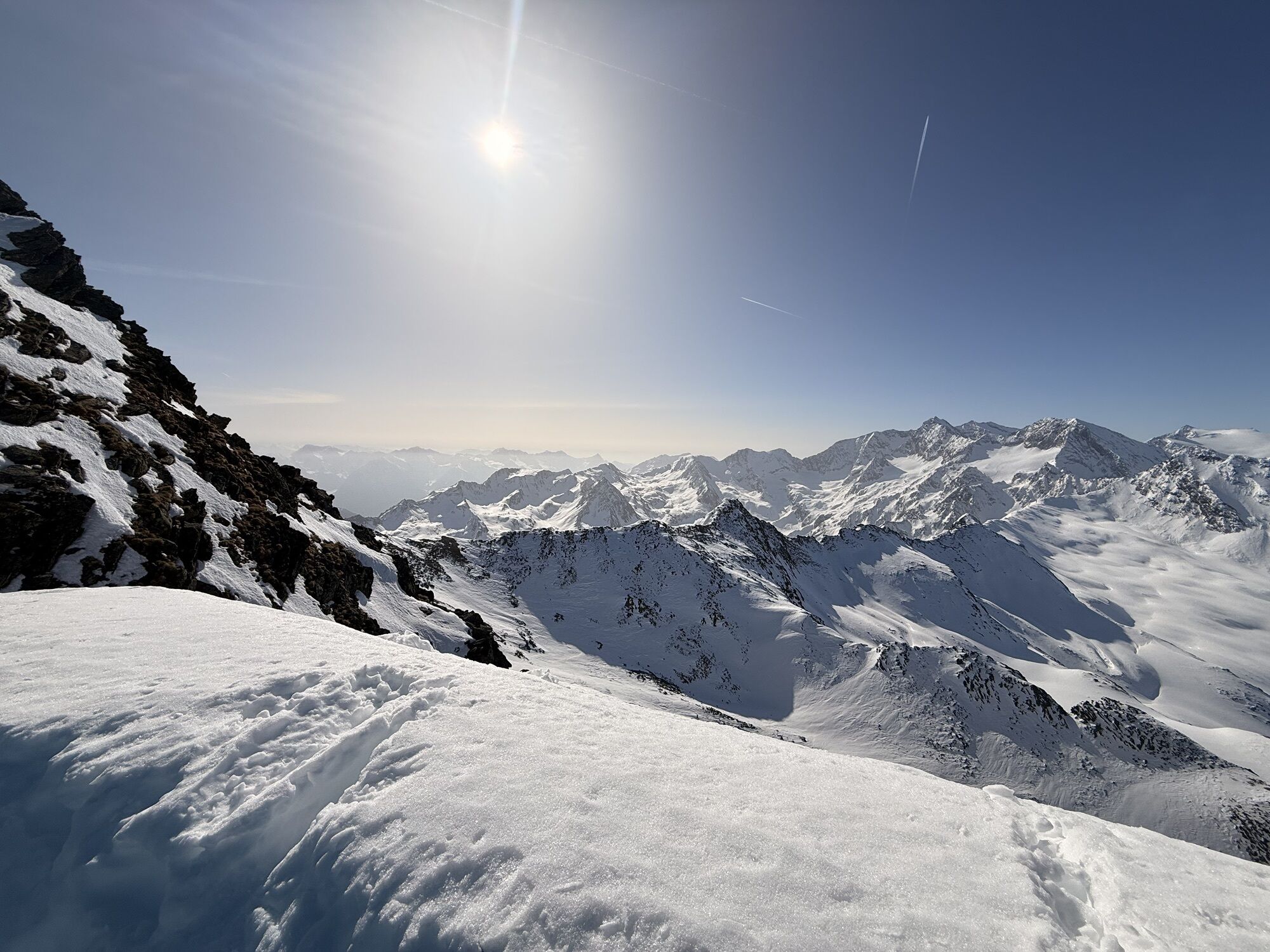
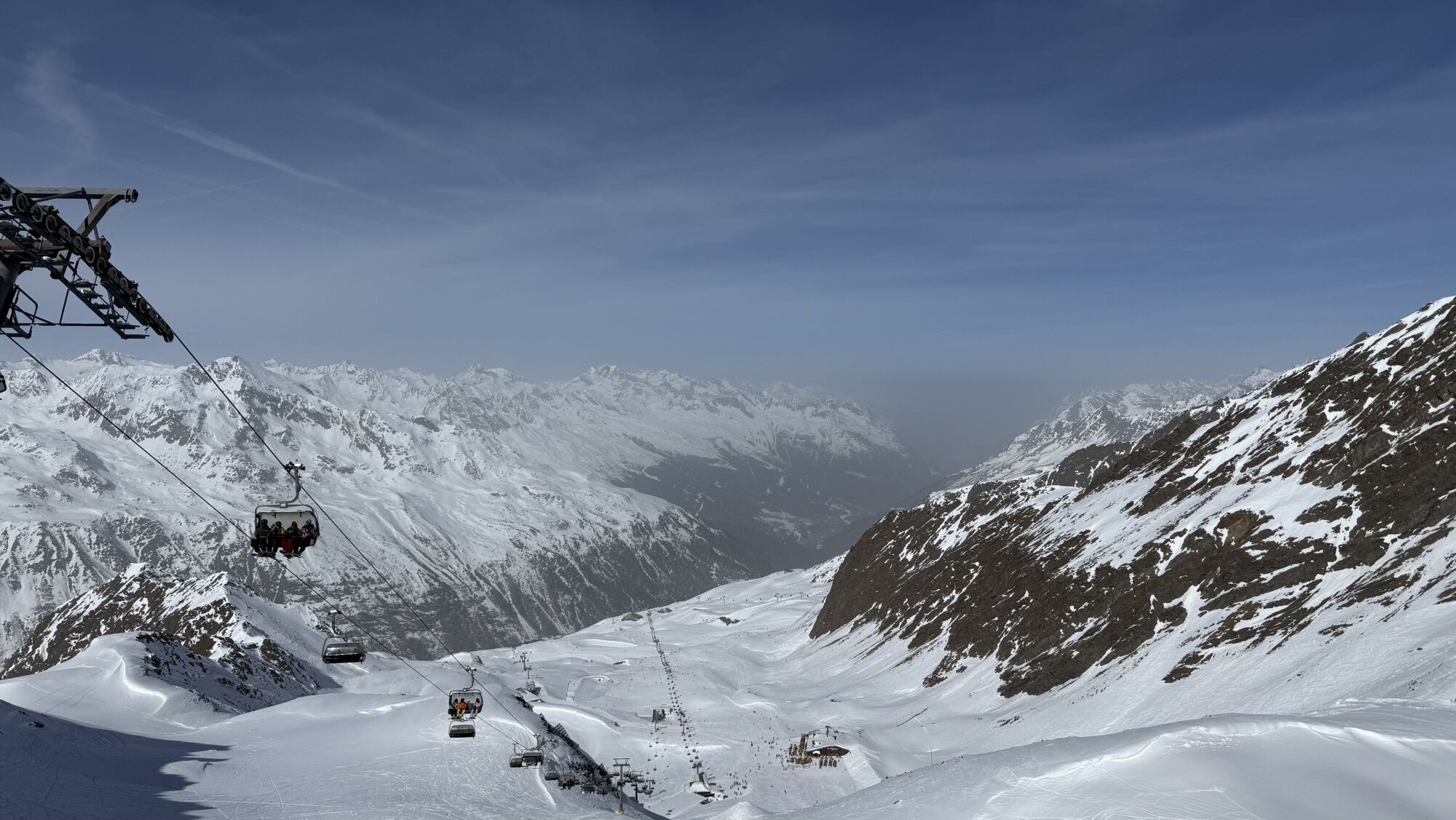
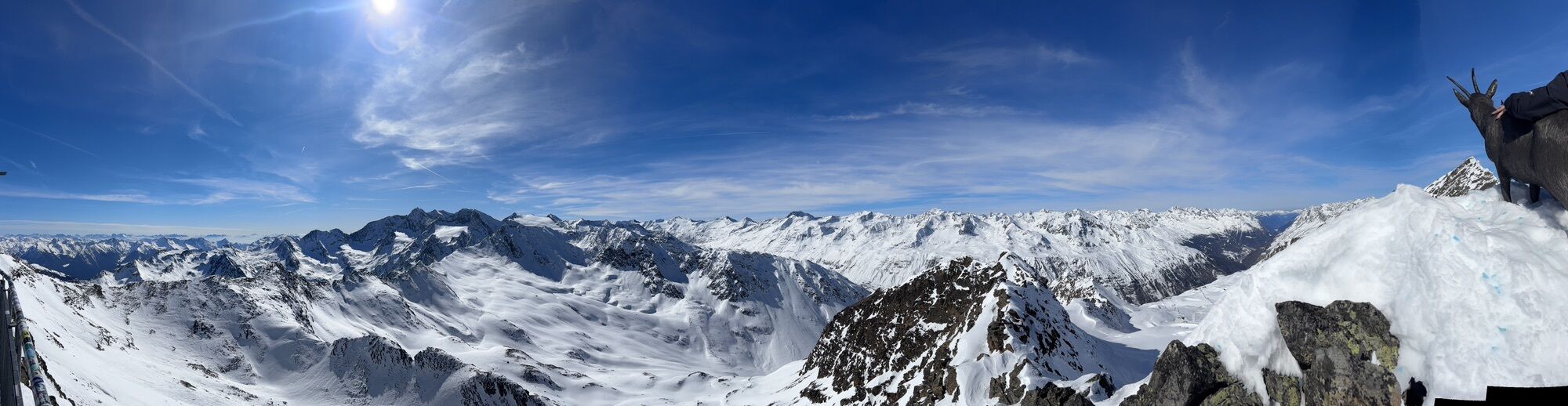
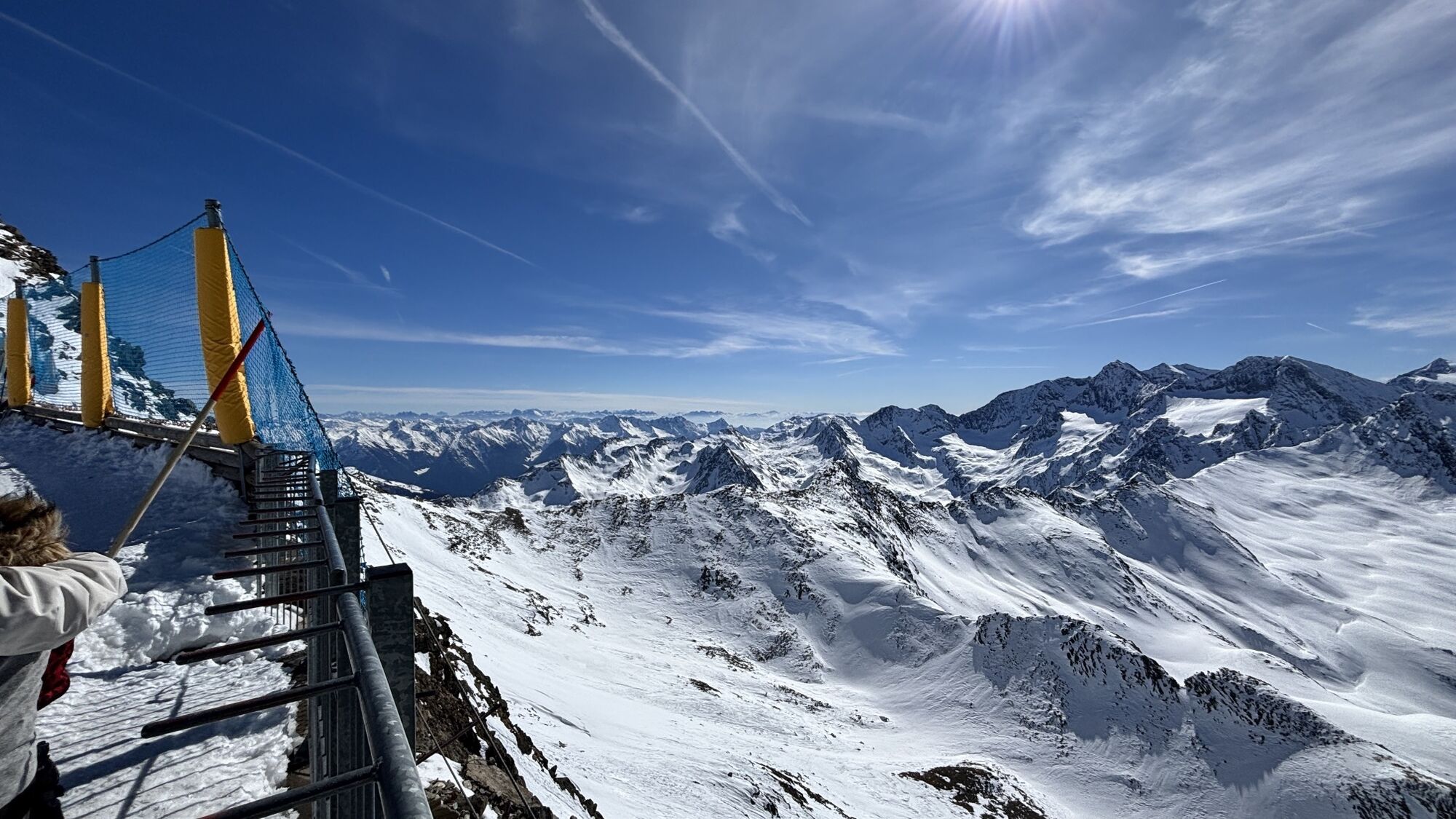
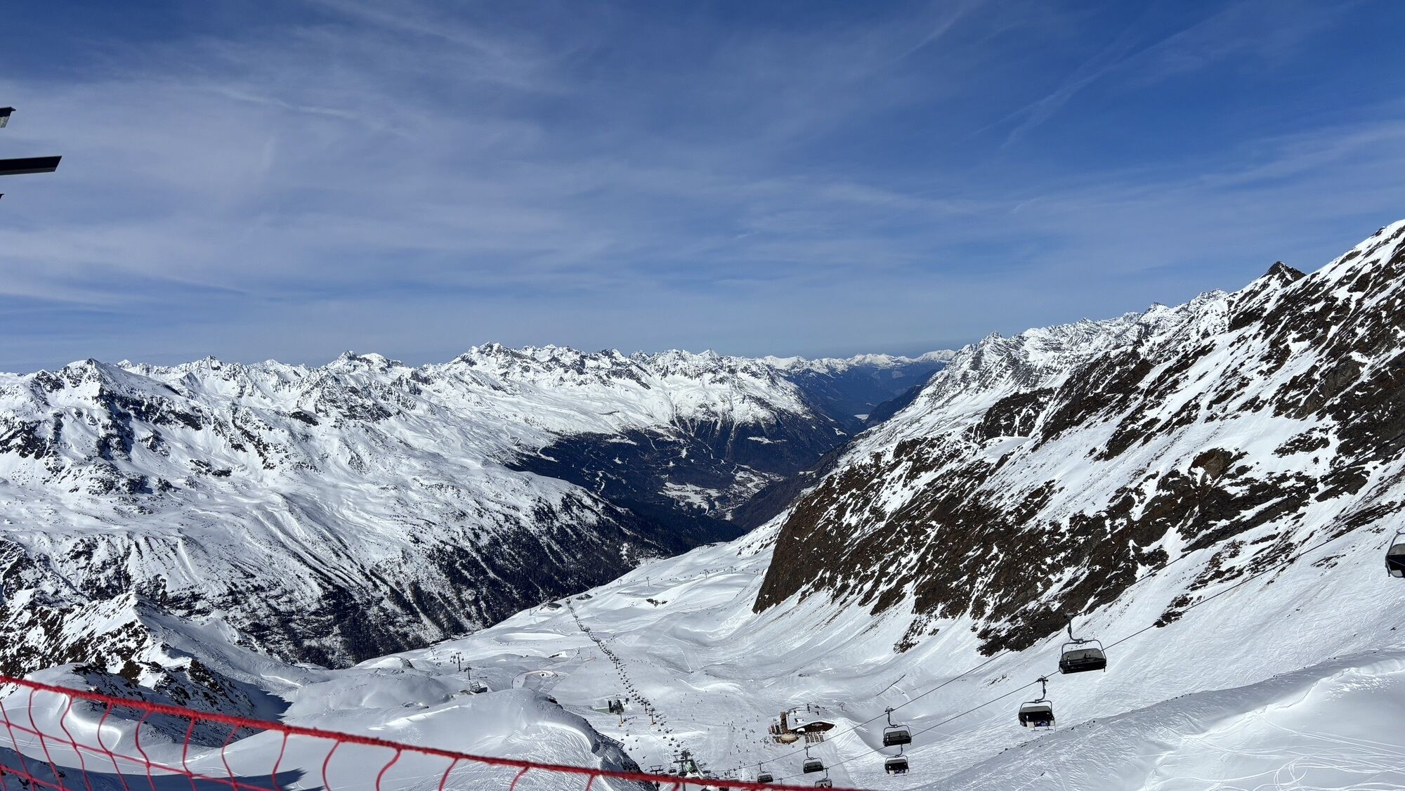
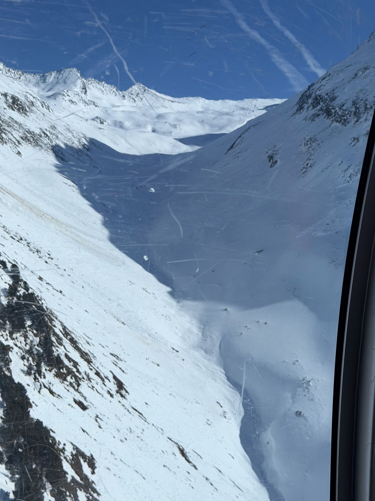
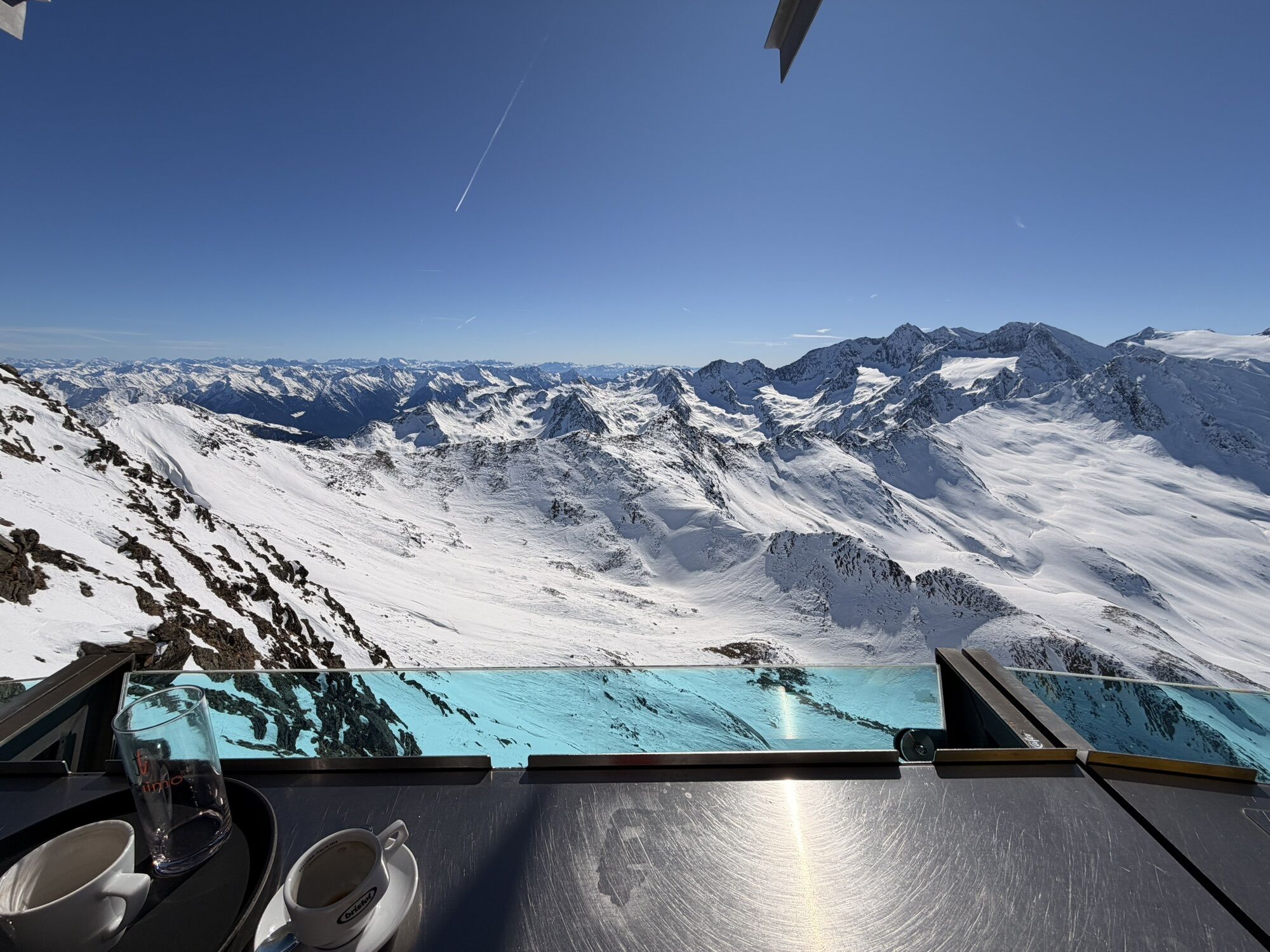
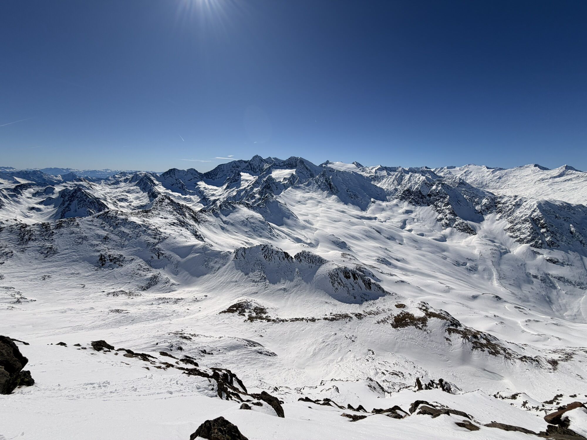
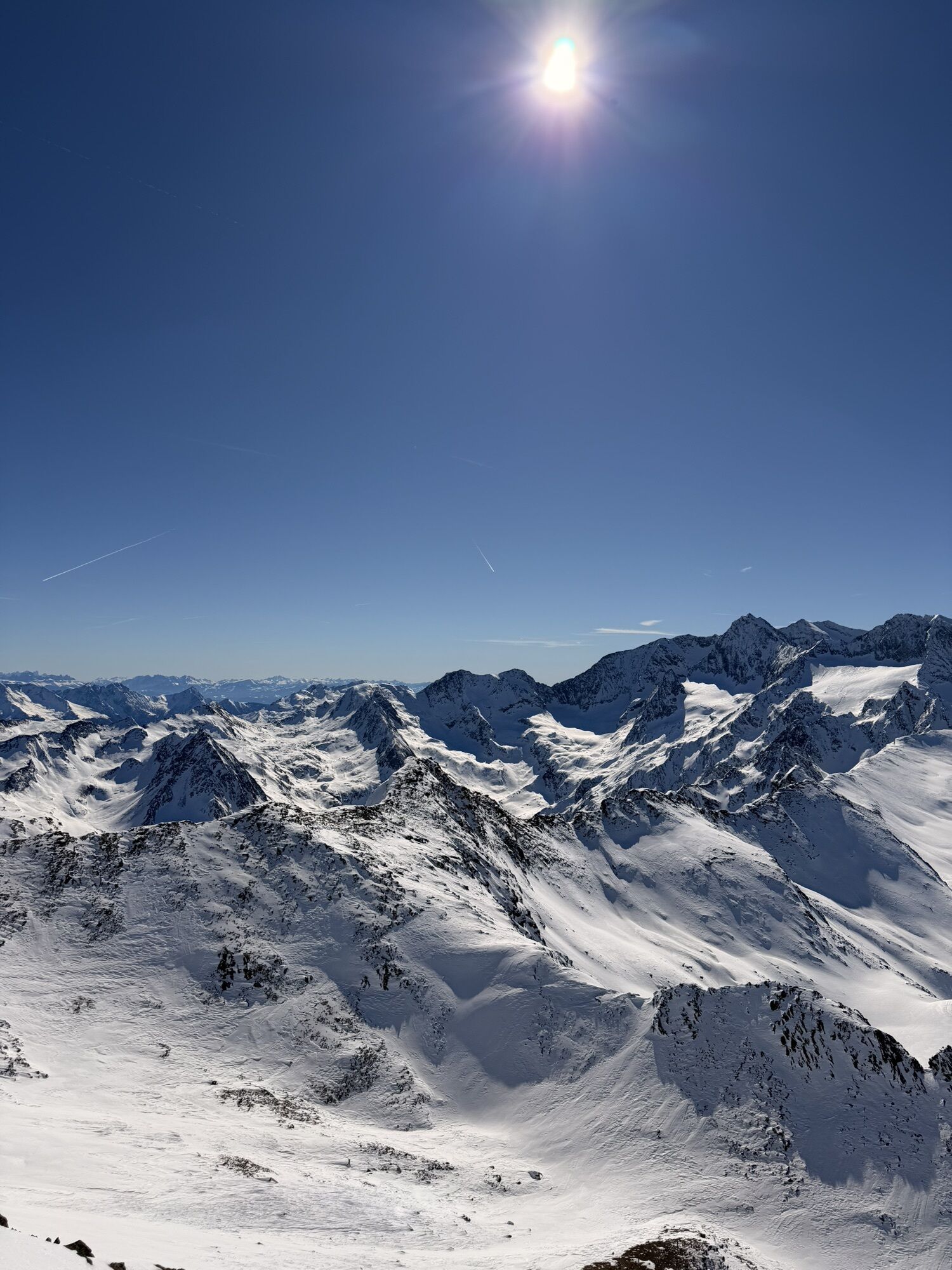
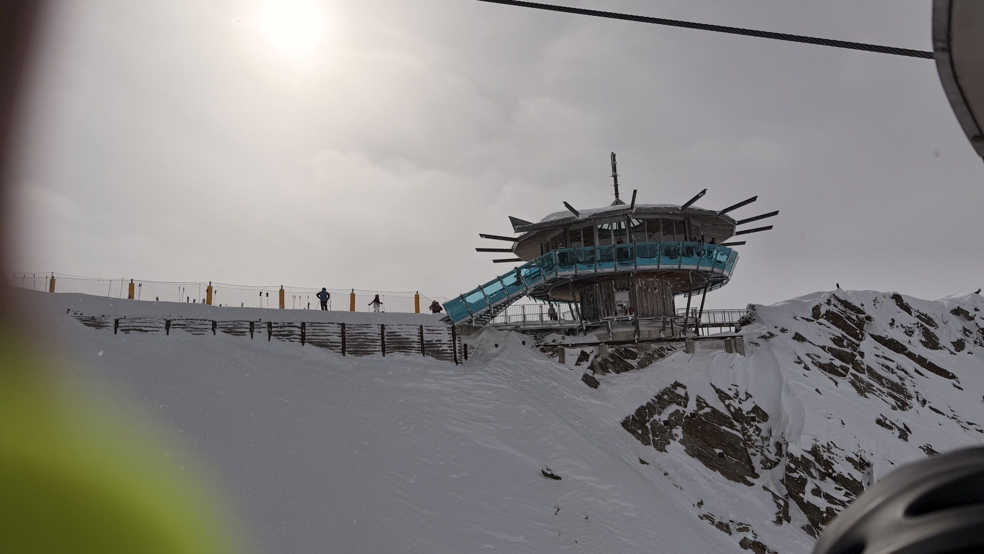
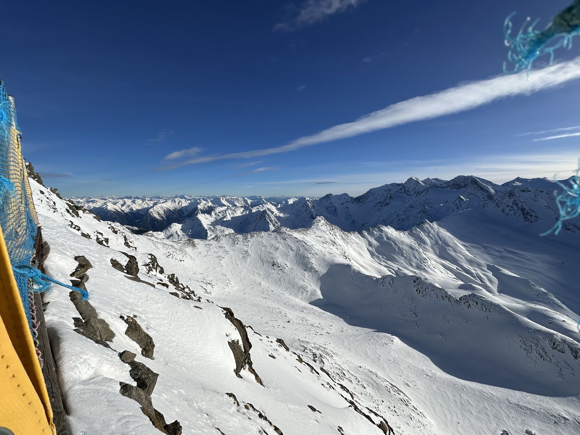
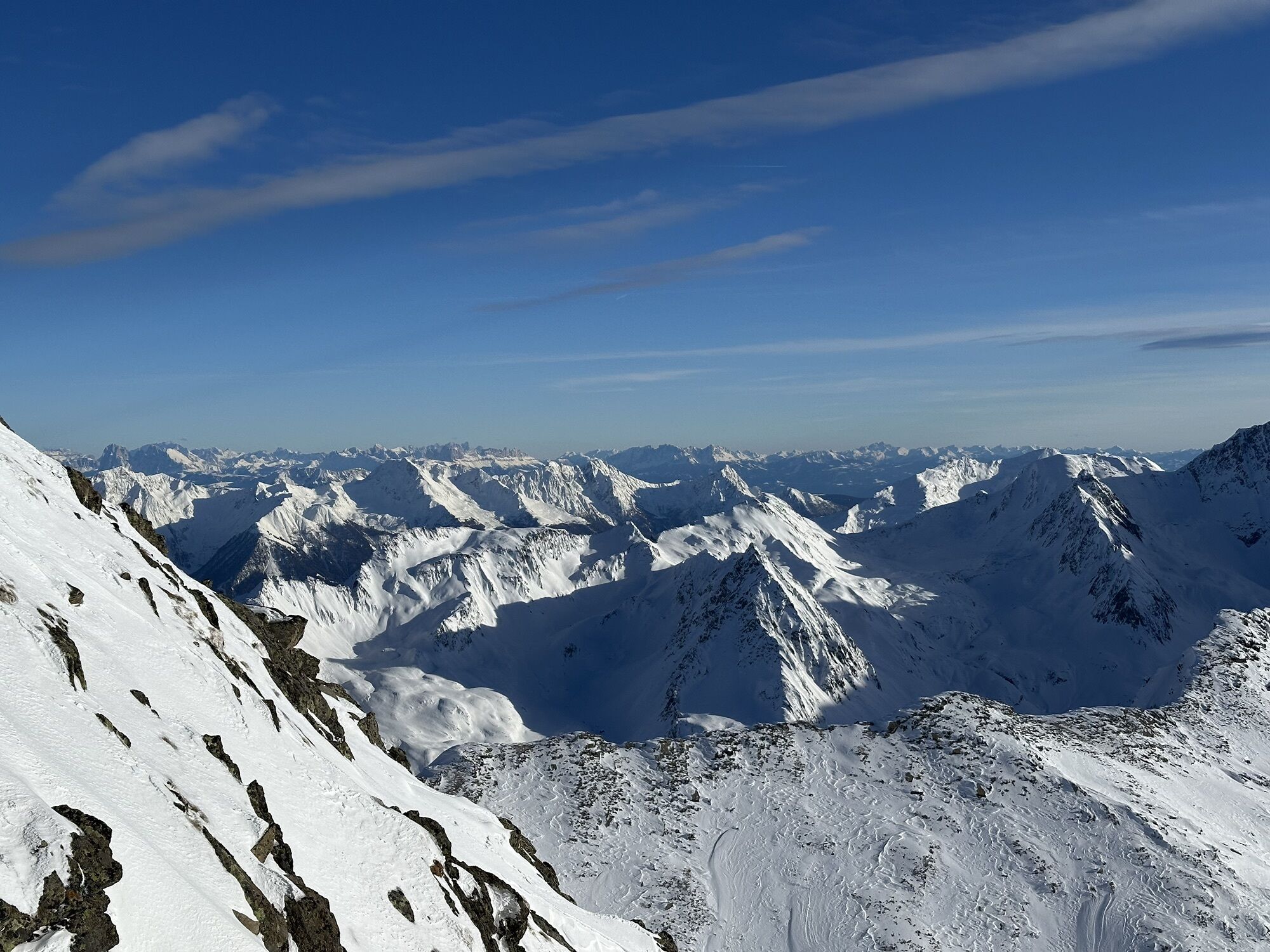
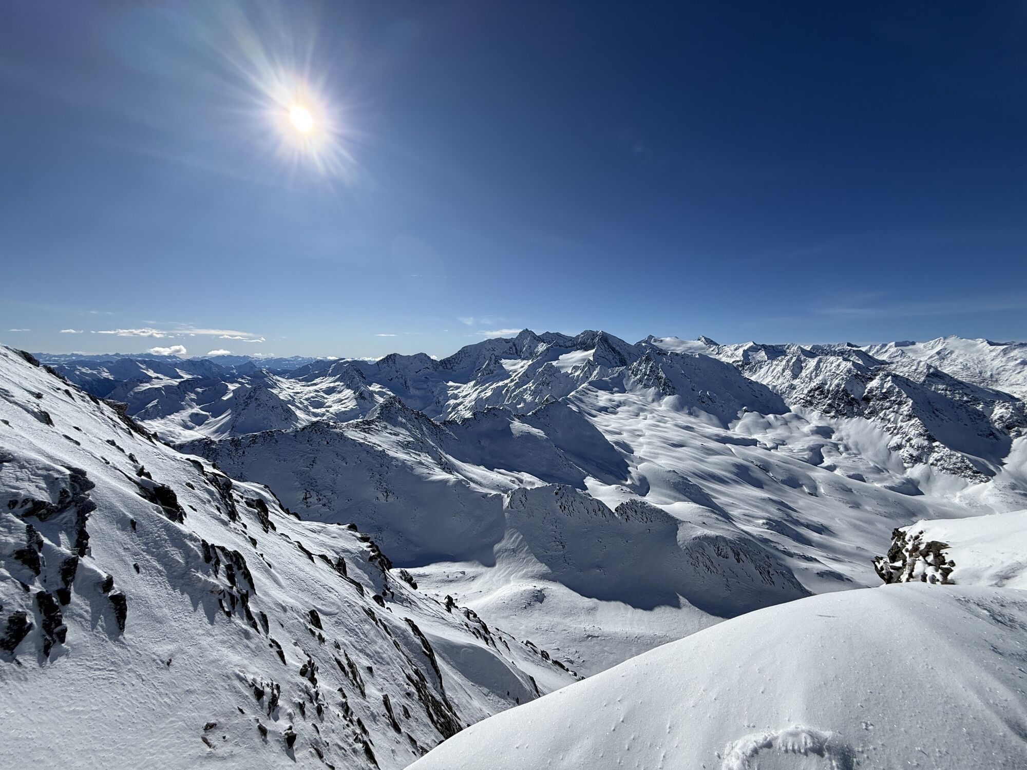
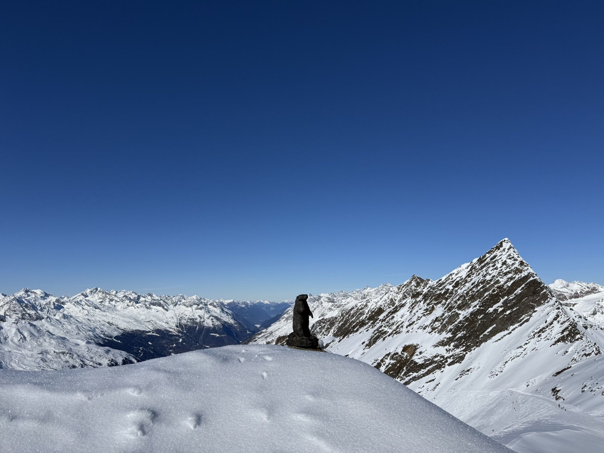
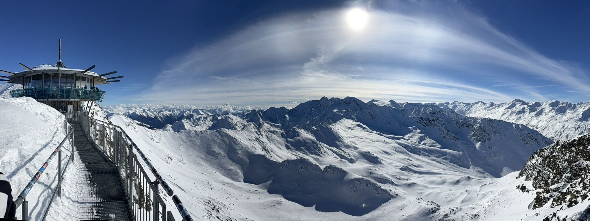
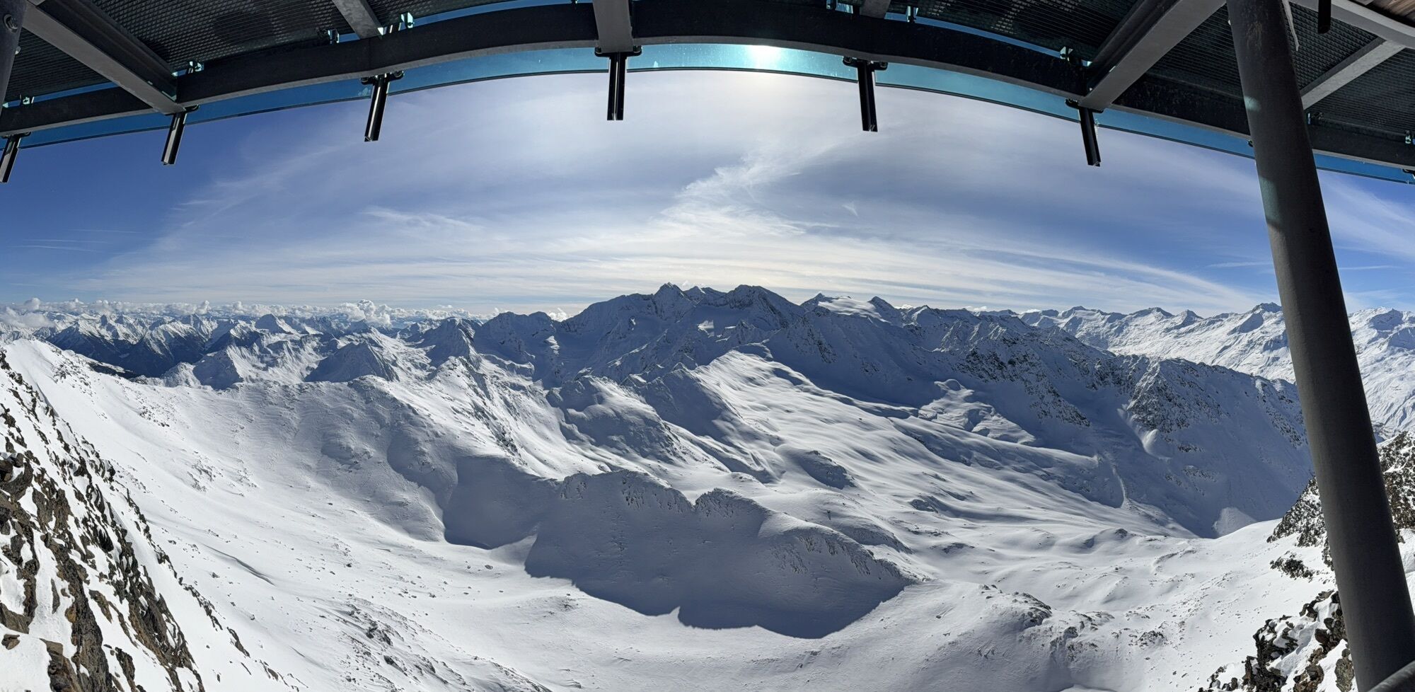
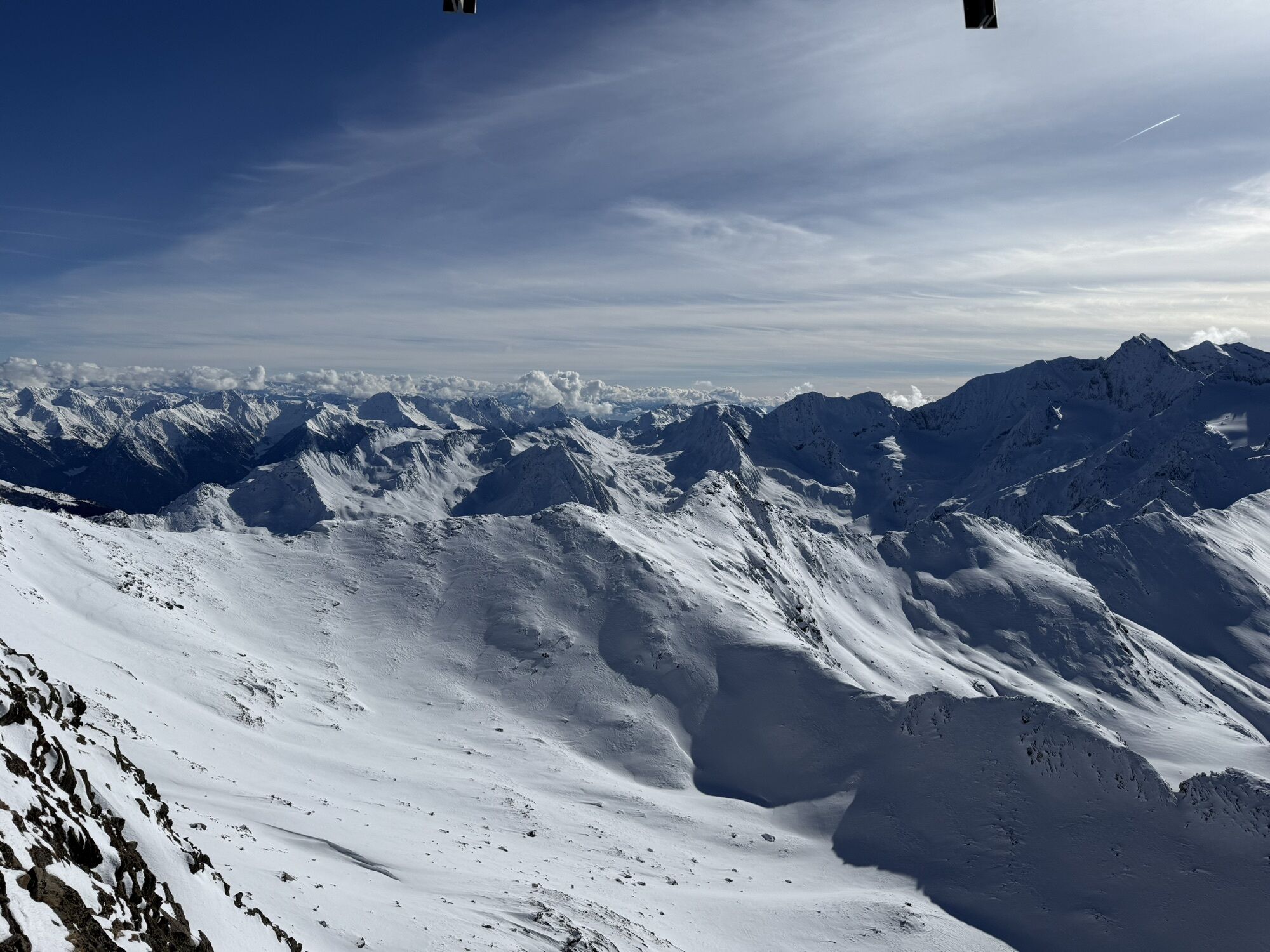
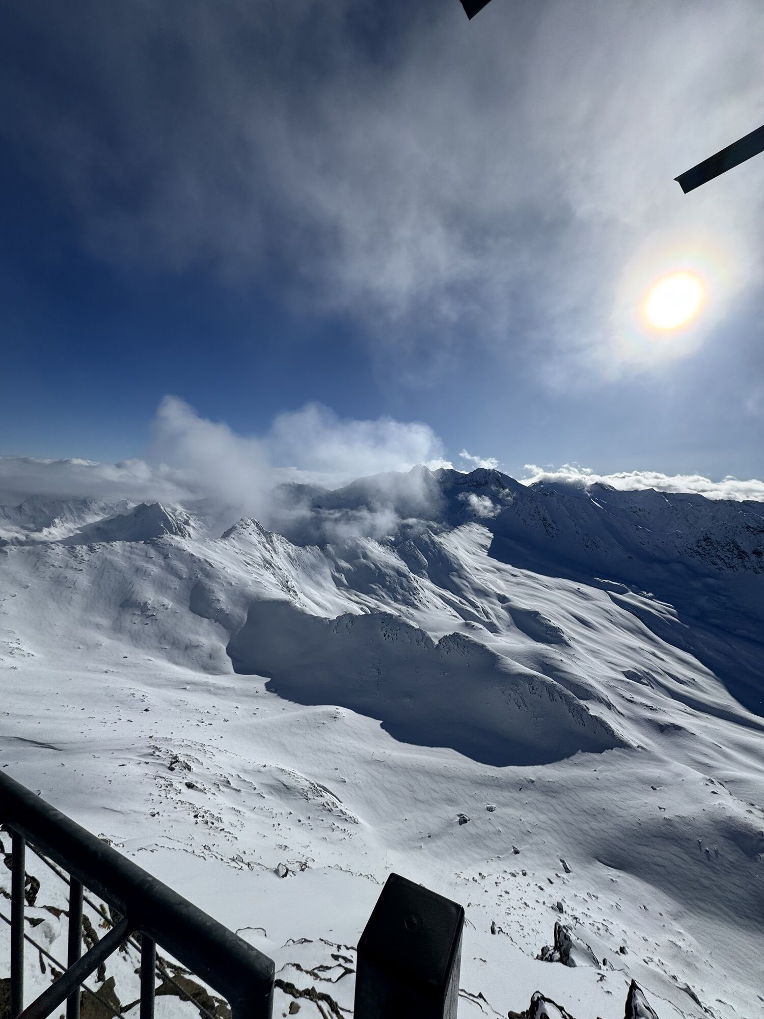
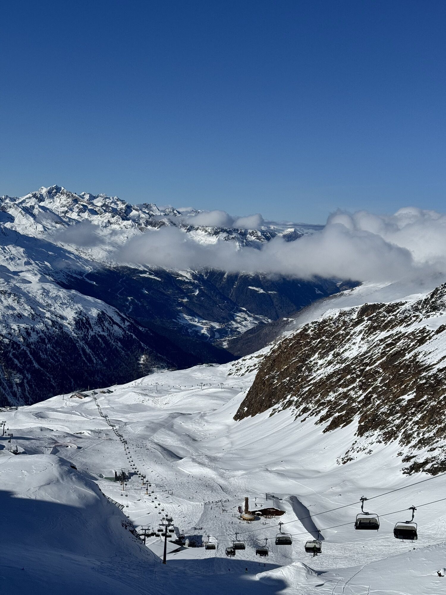
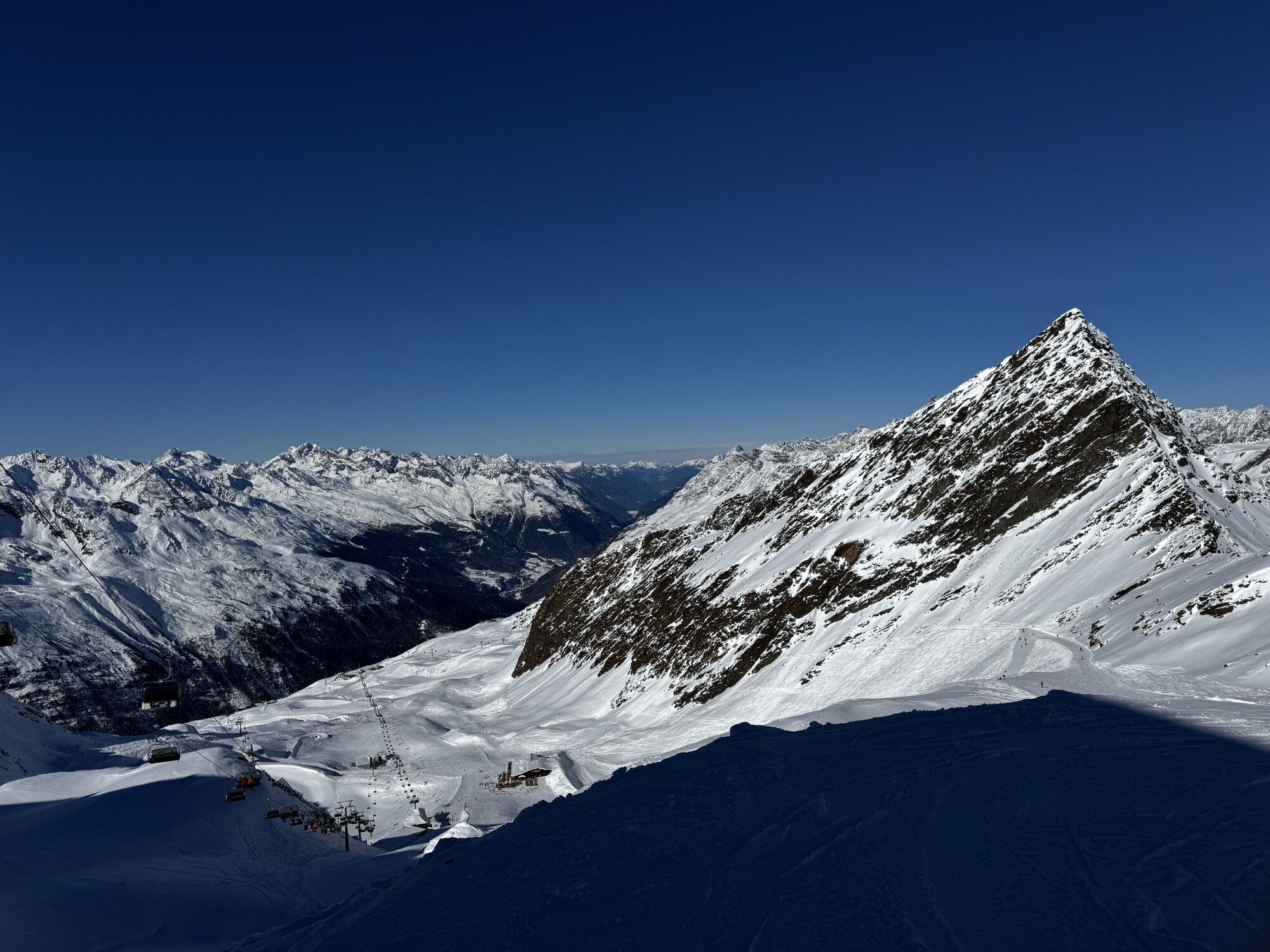
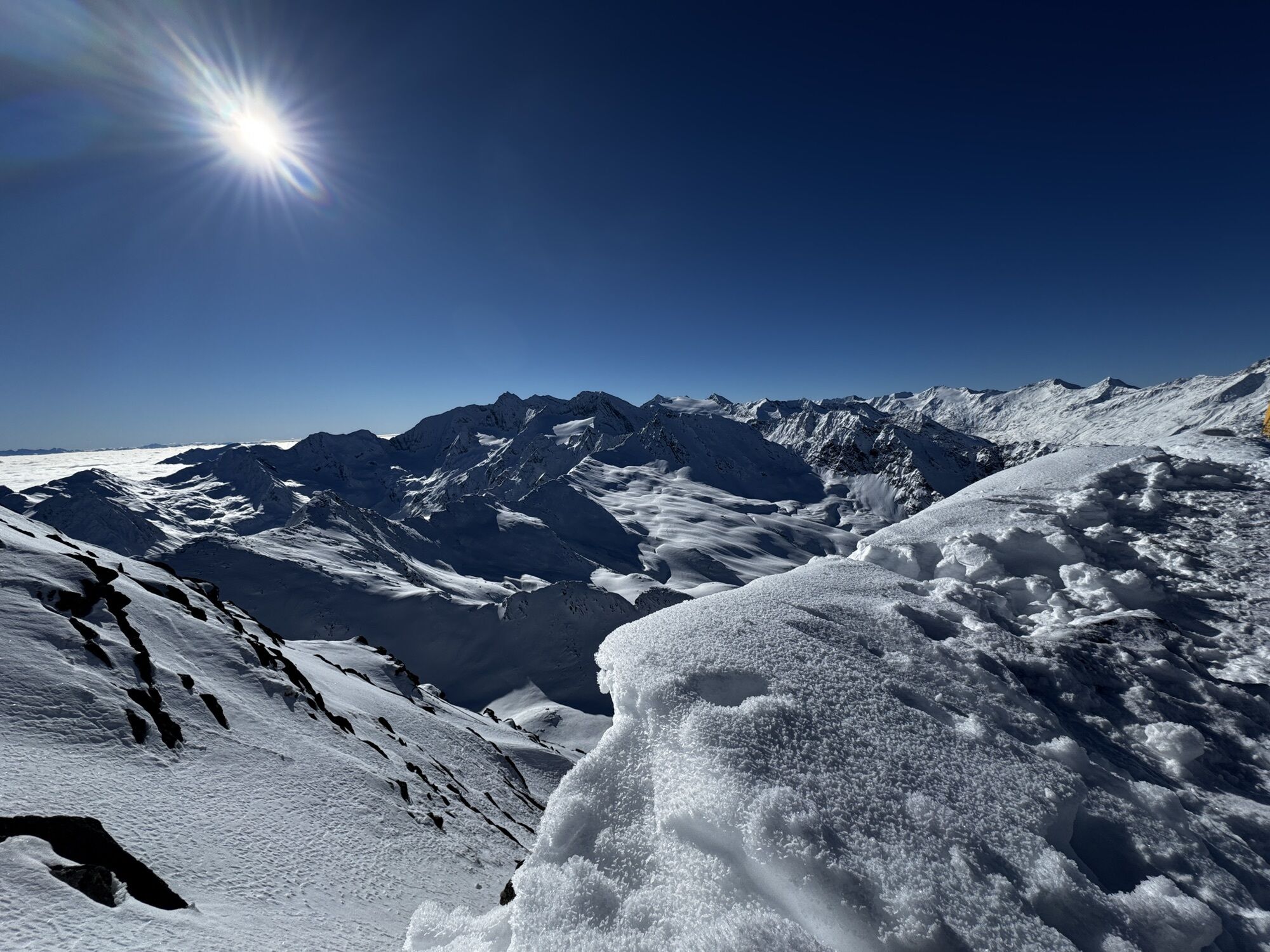
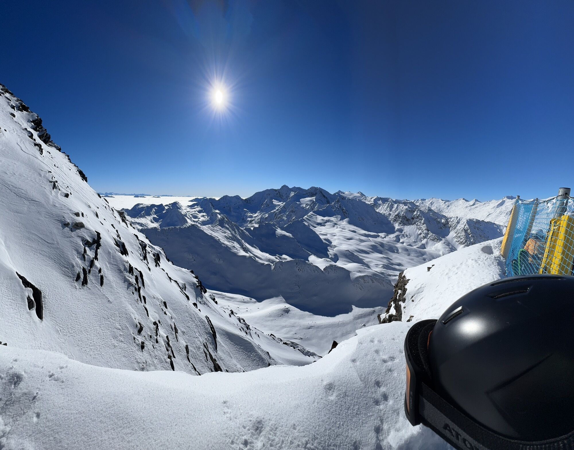
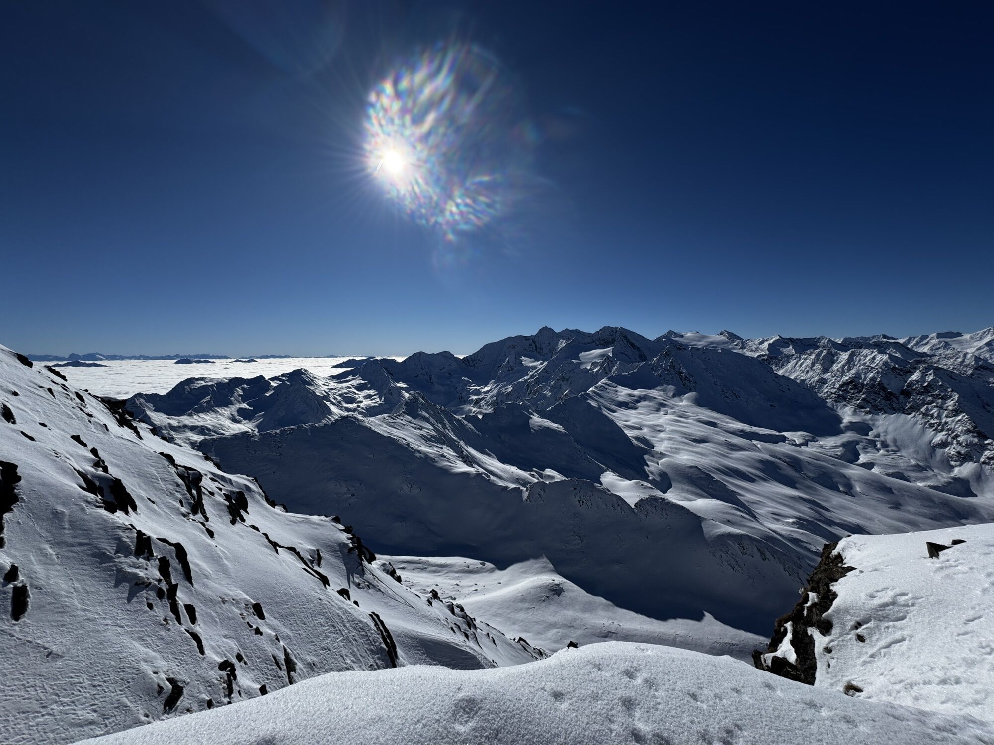
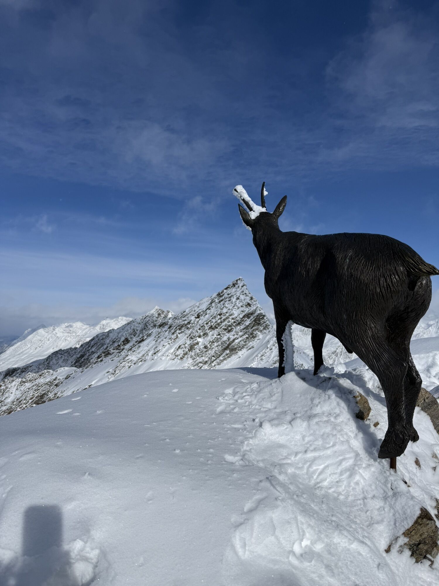
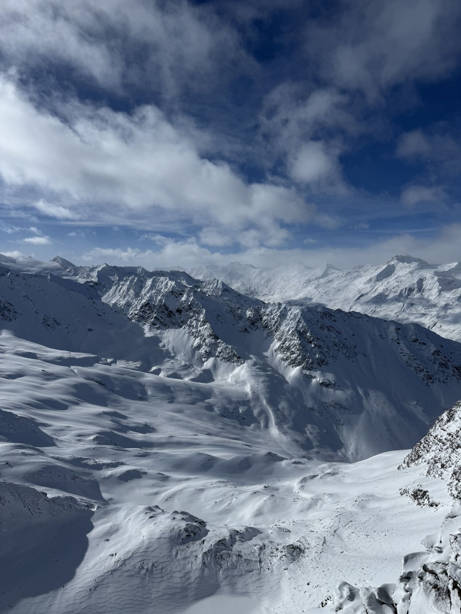
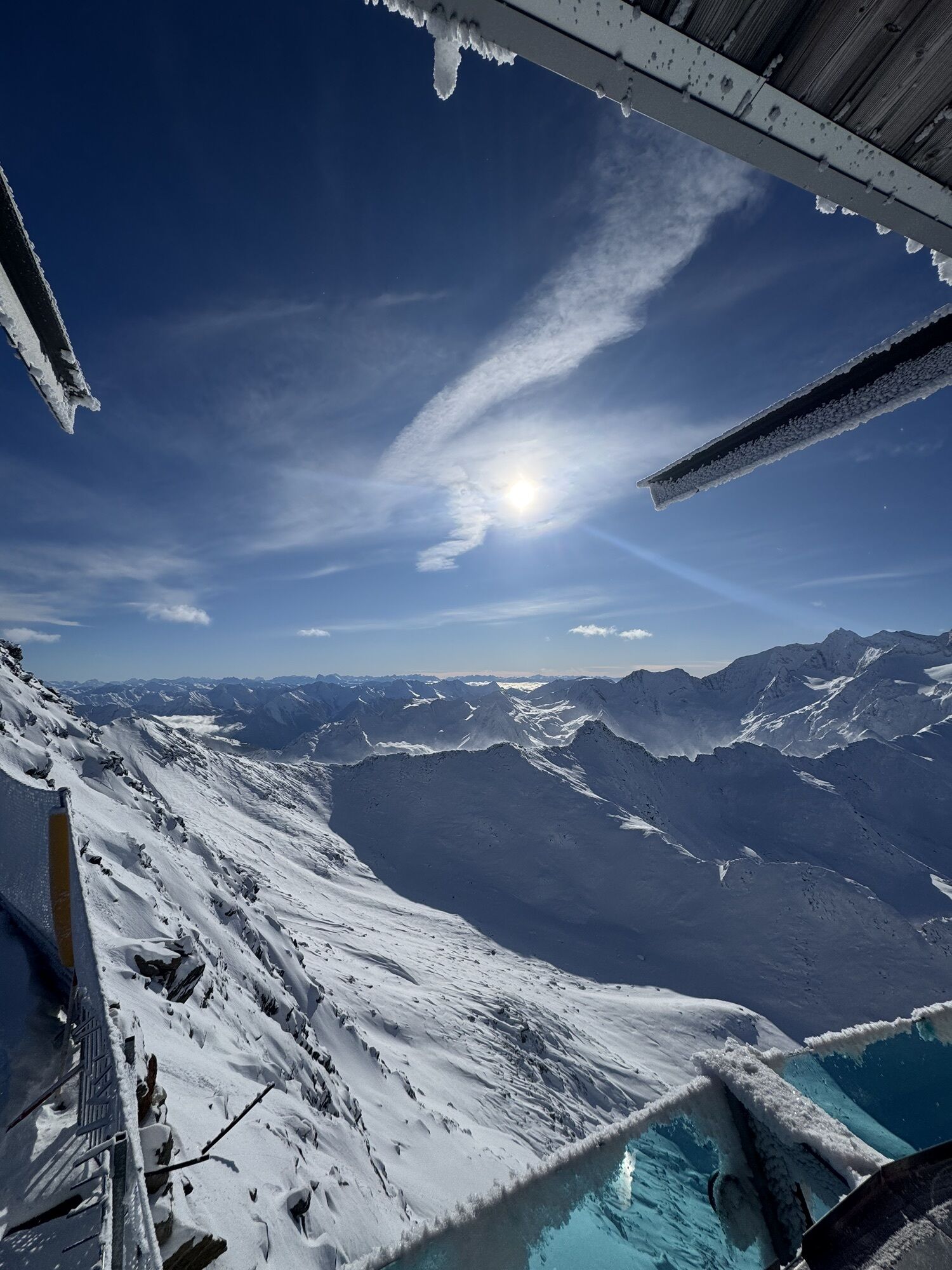
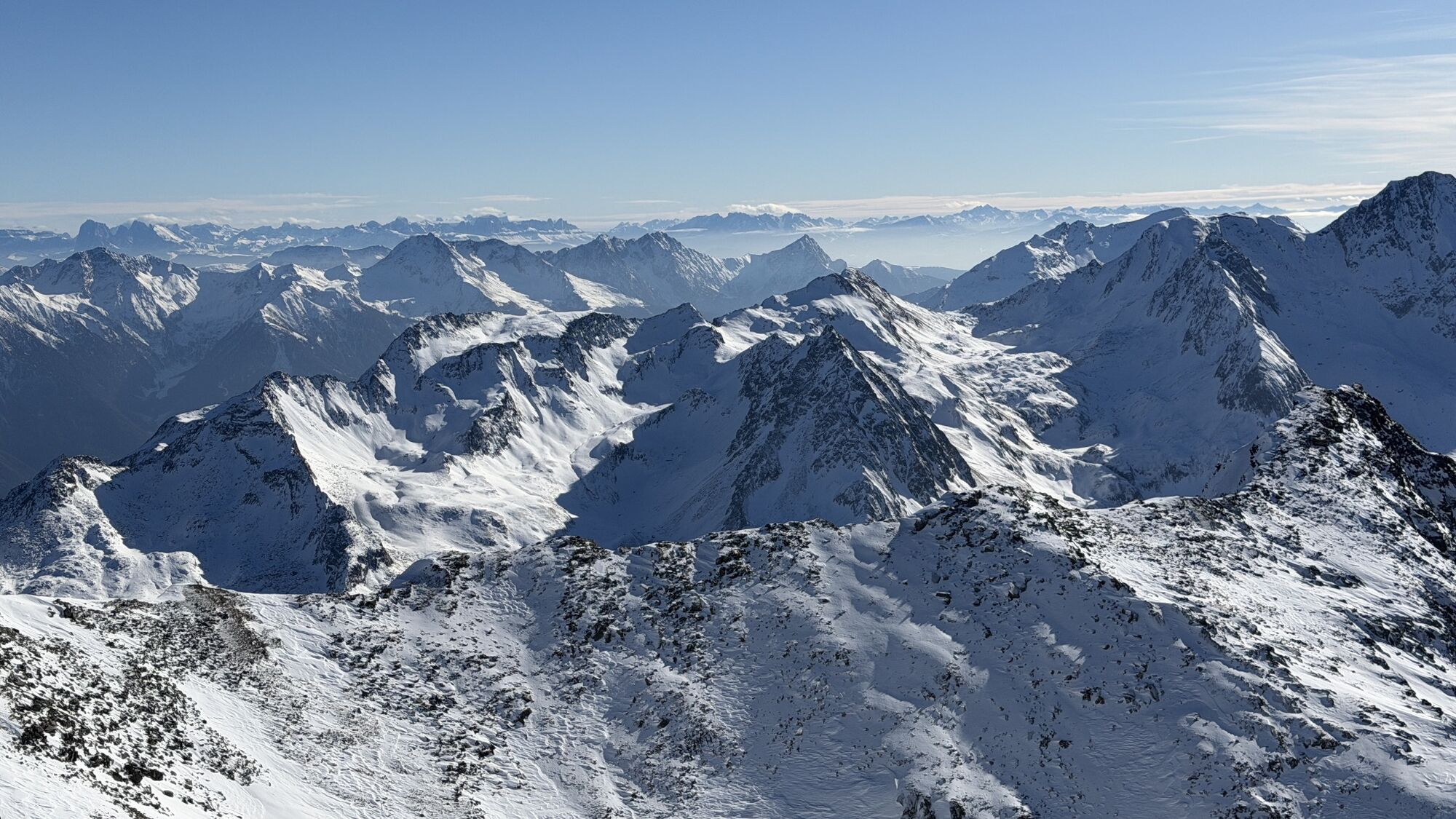
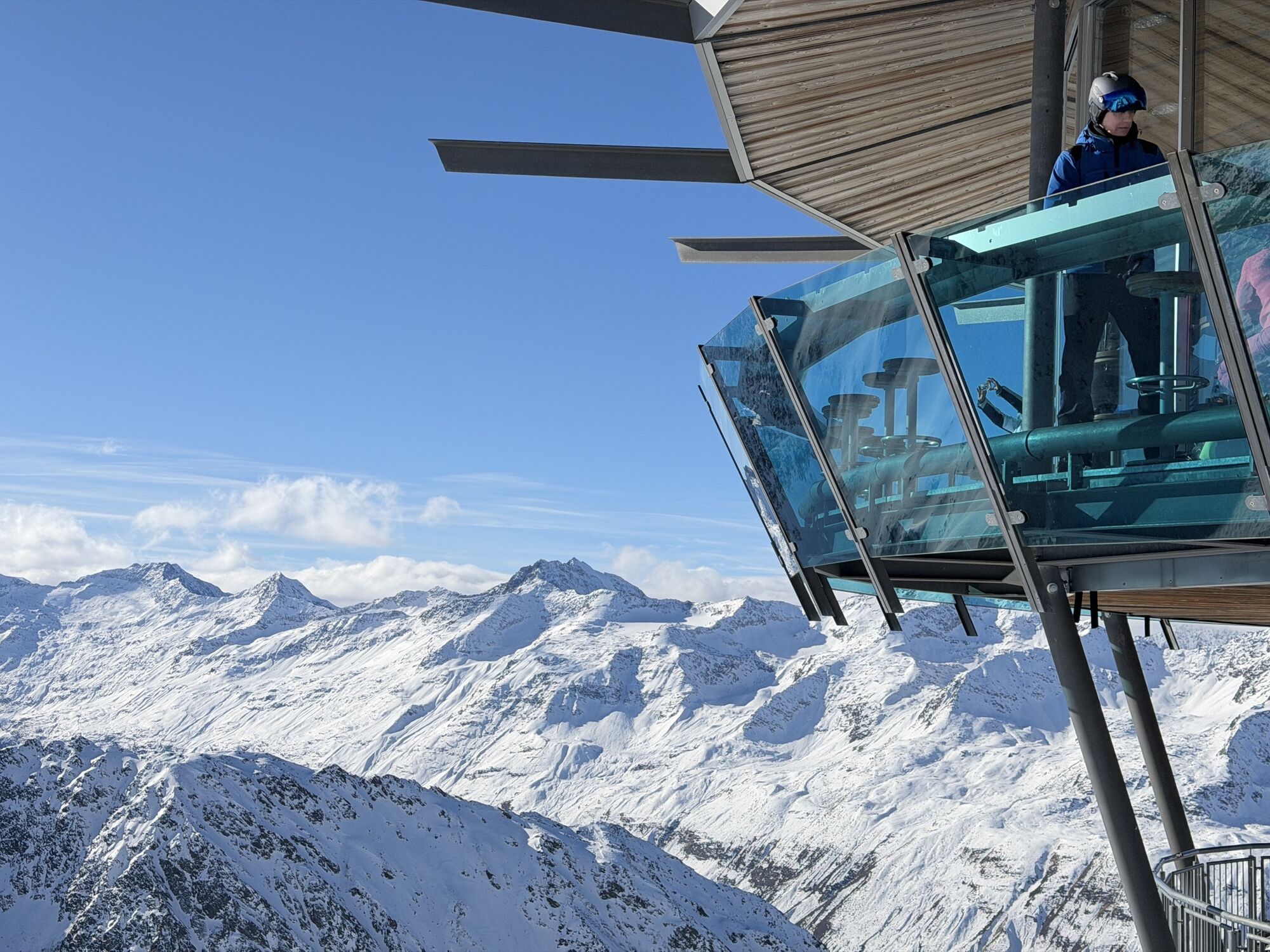
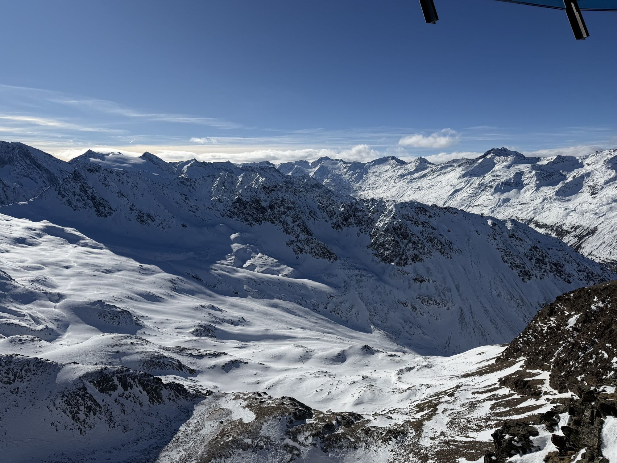
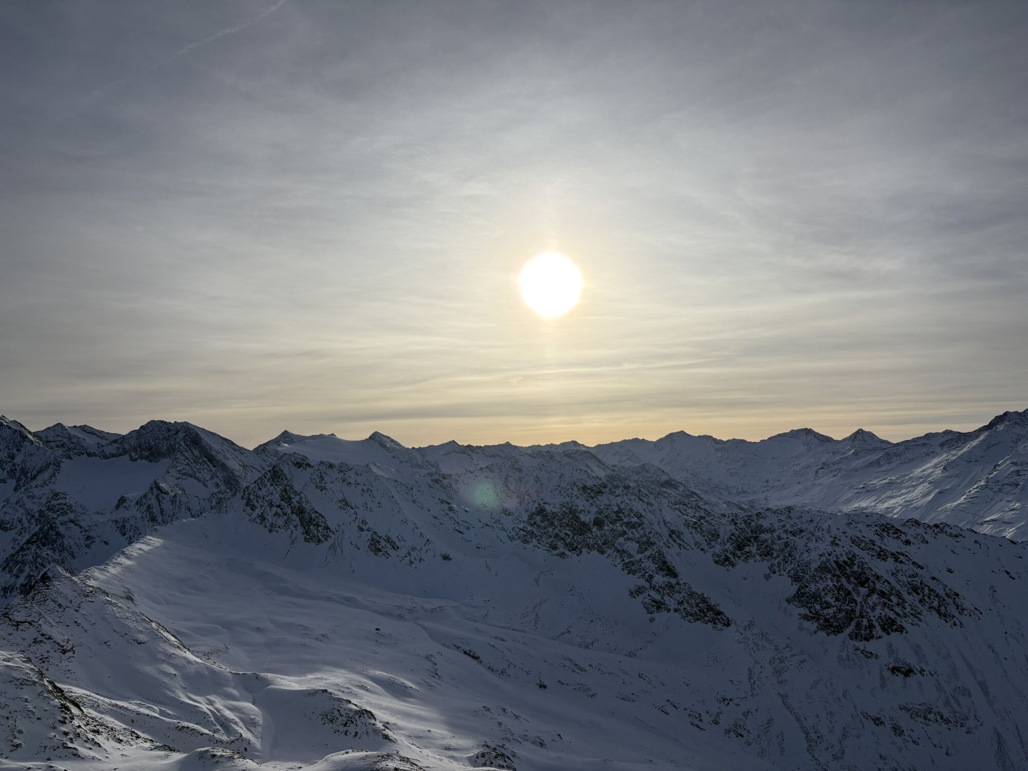
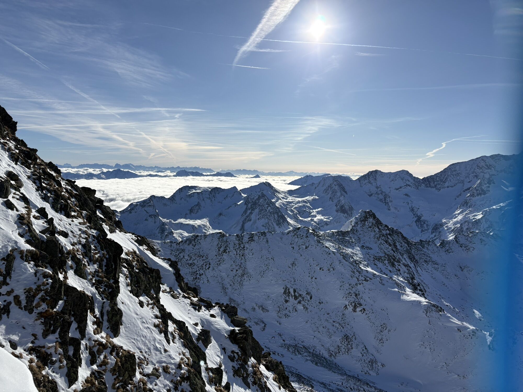
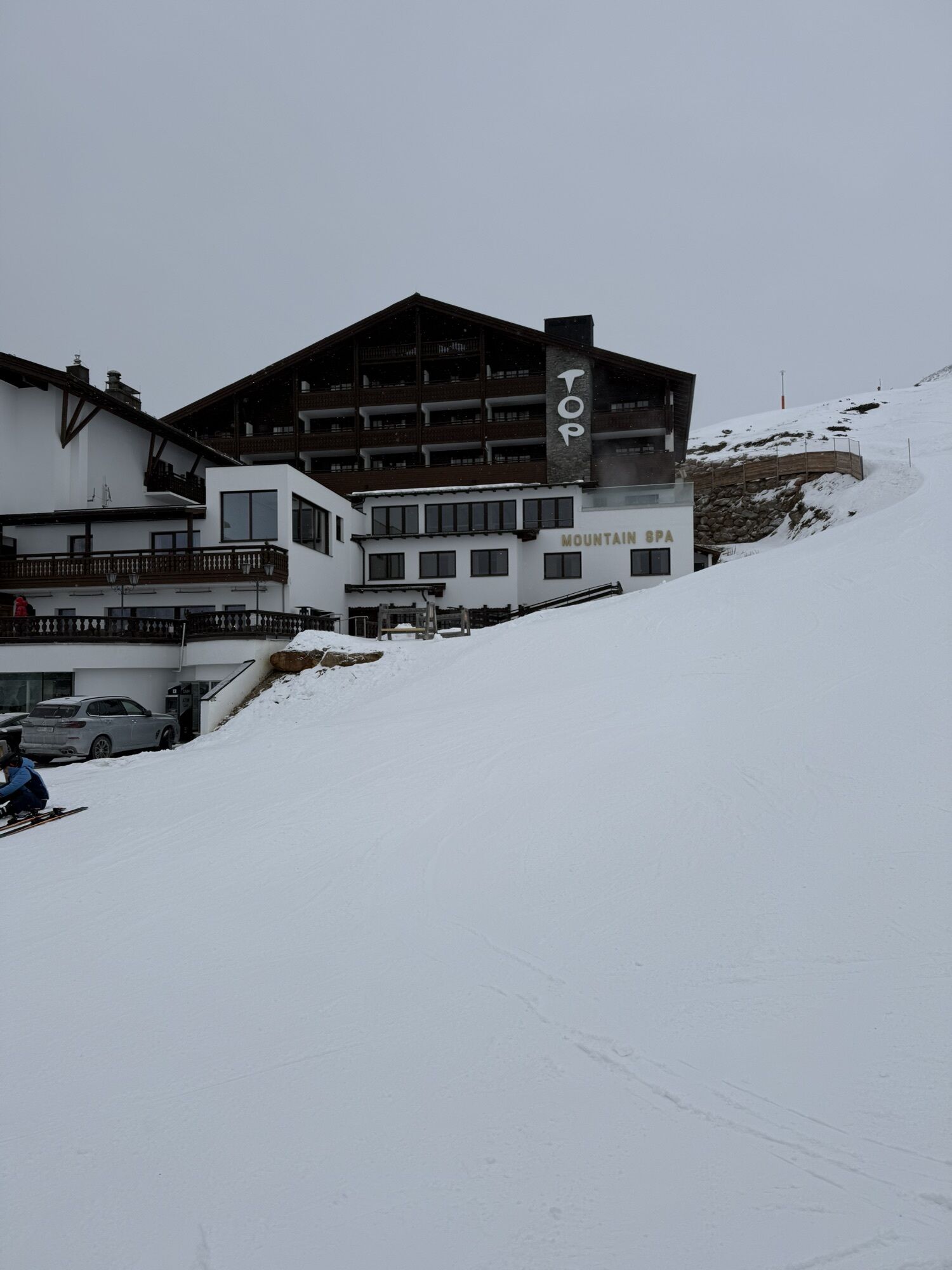
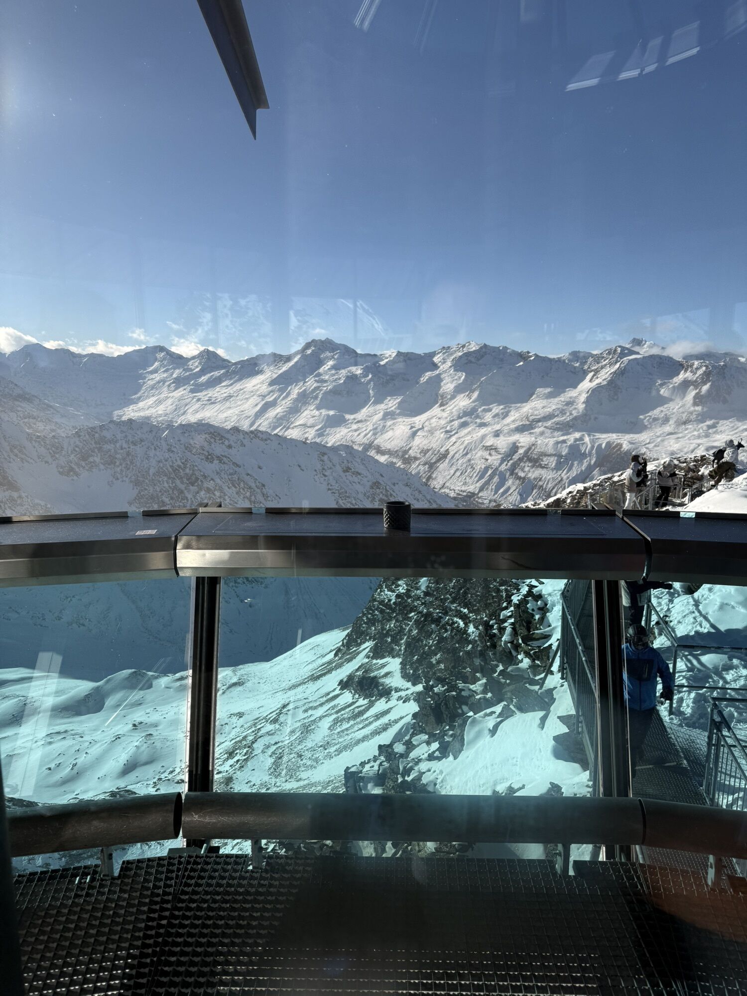
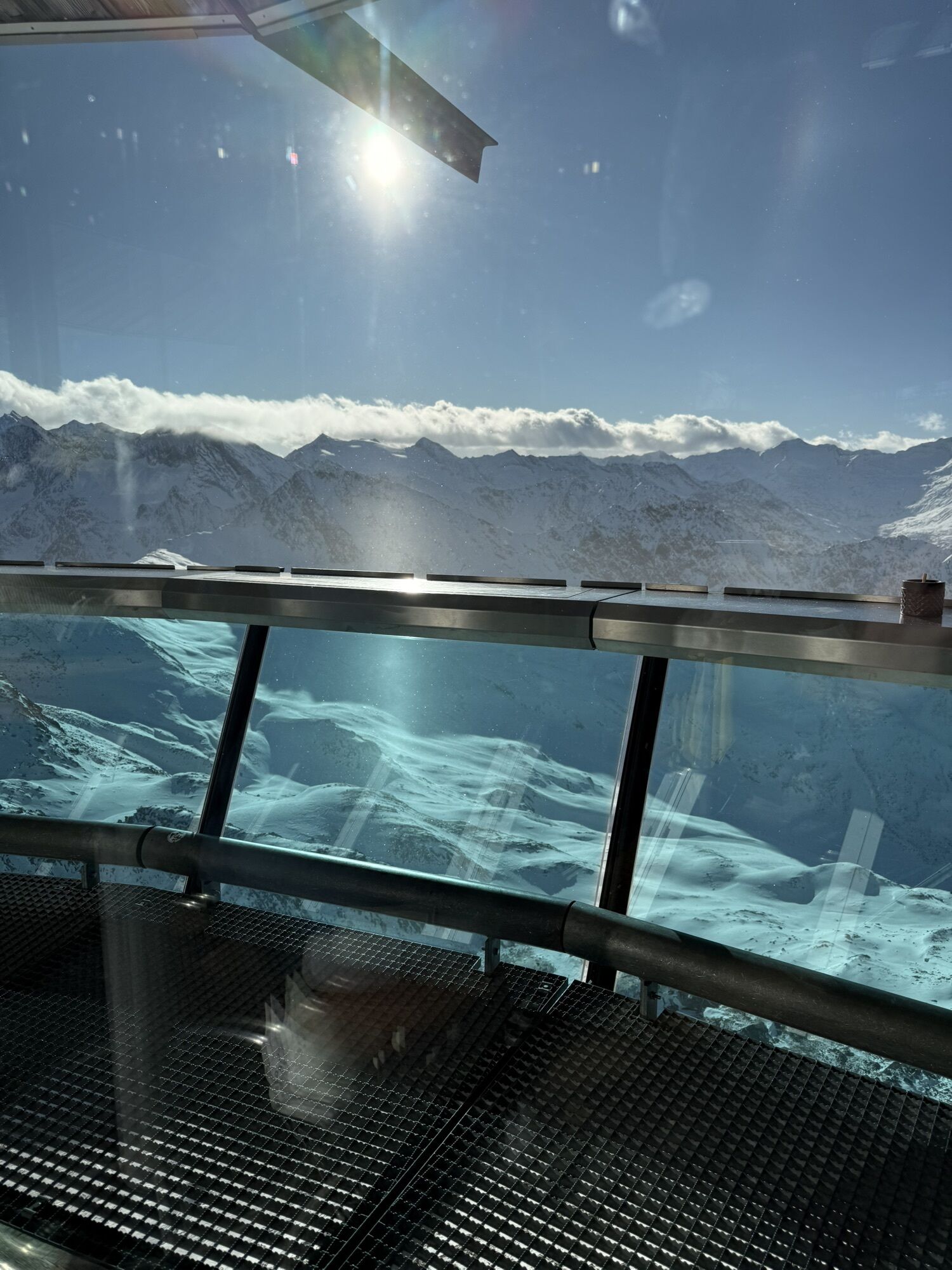
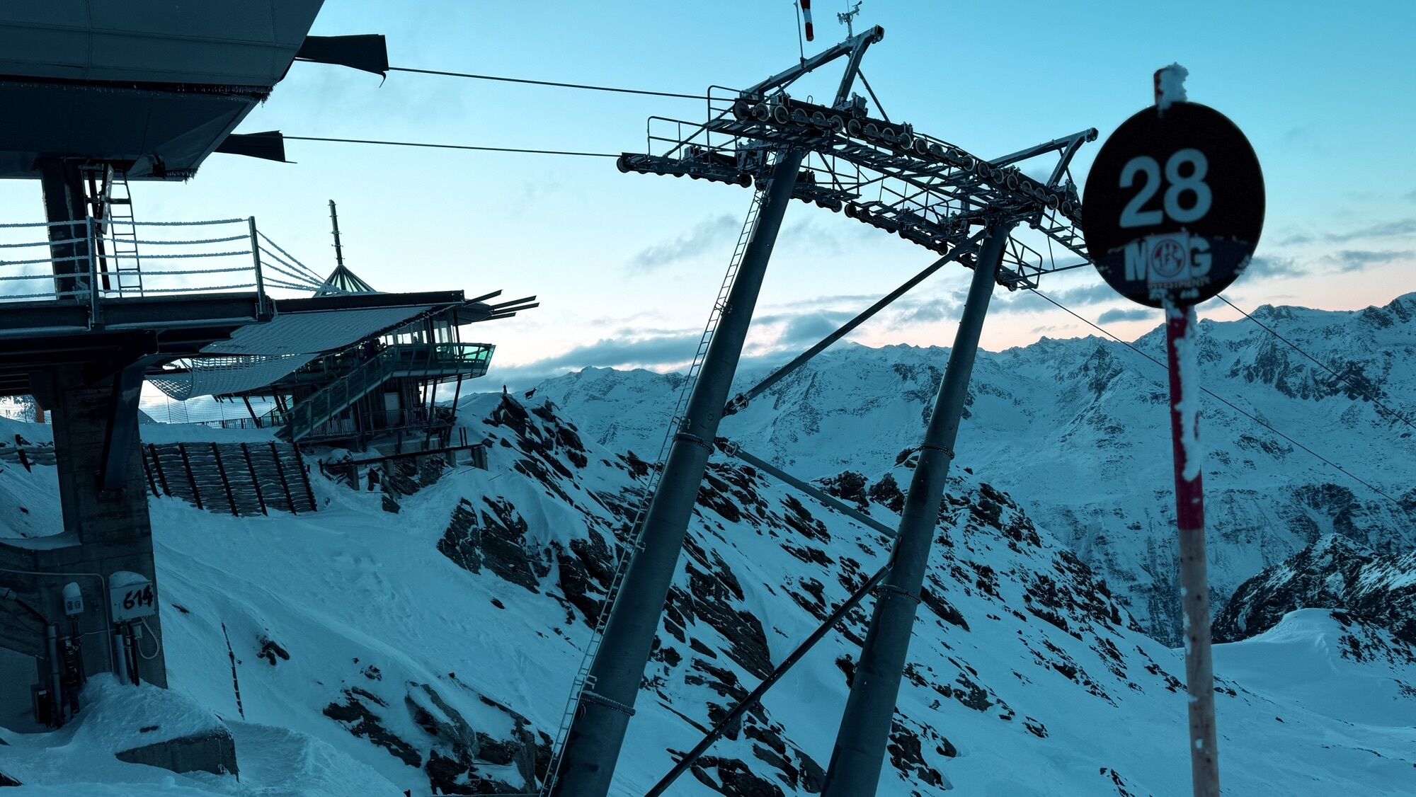
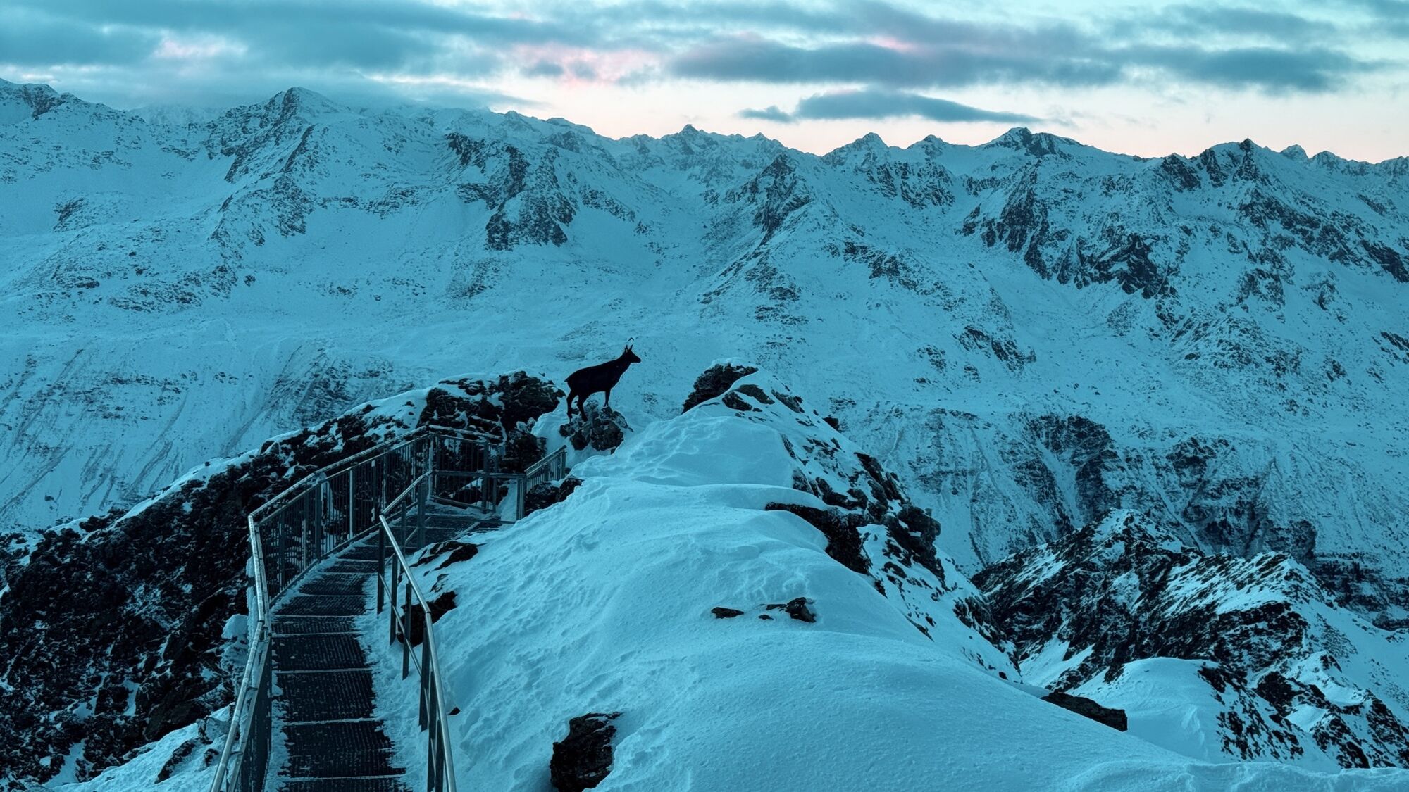
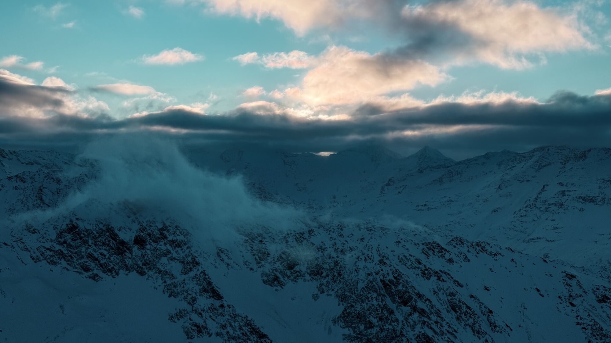
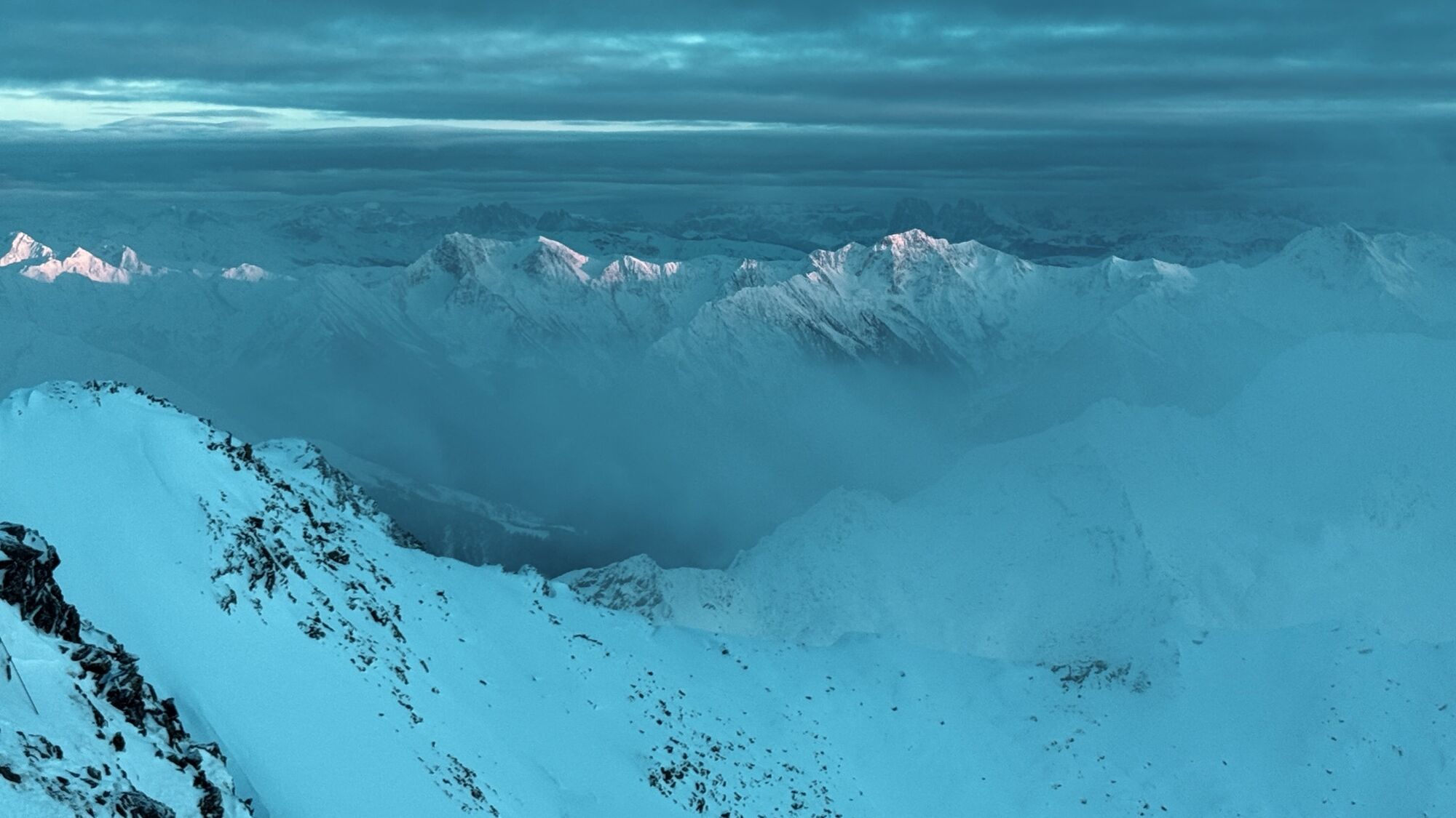
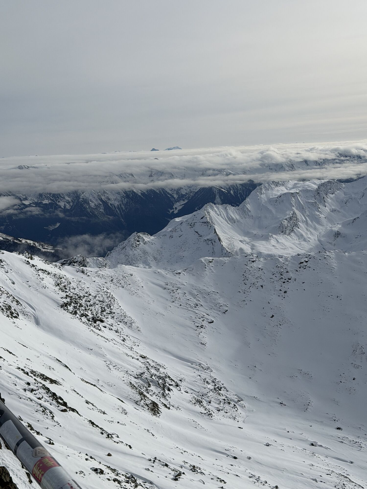
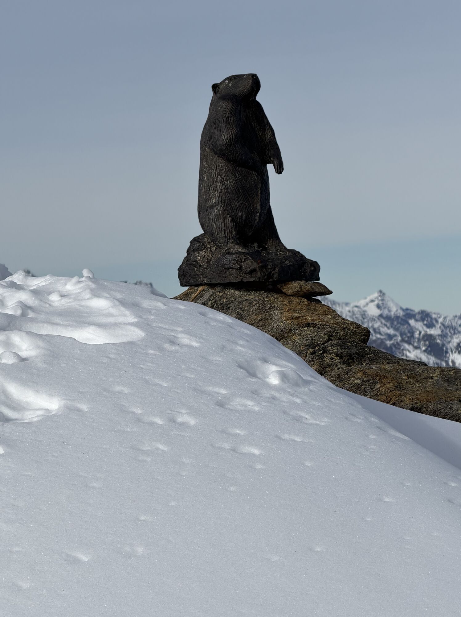
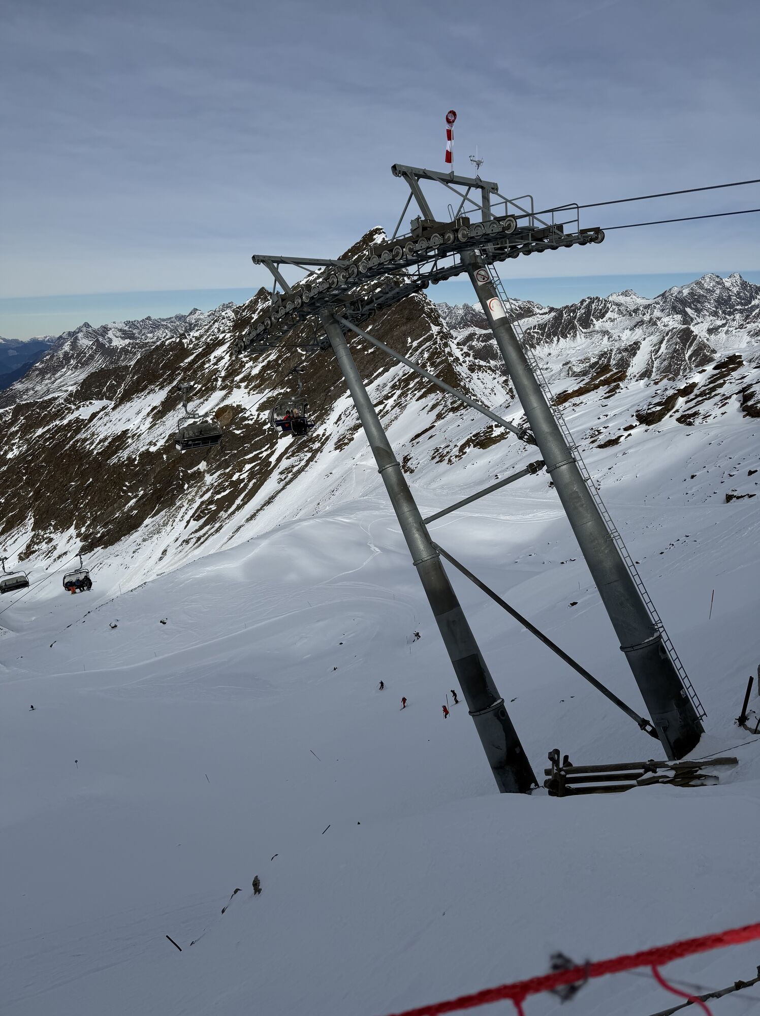
Above Hochgurgl, the hiking trail leads into the beautiful Königstal. From there, follow the Königsbach downstream to the valley end. Then the narrow, rocky hiking trail leads steeply up to the Top Mountain...
Above Hochgurgl, the hiking trail leads into the beautiful Königstal. From there, follow the Königsbach downstream to the valley end. Then the narrow, rocky hiking trail leads steeply up to the Top Mountain Star.
The Top Mountain Star can only be reached on foot in summer and is not staffed (only in winter).

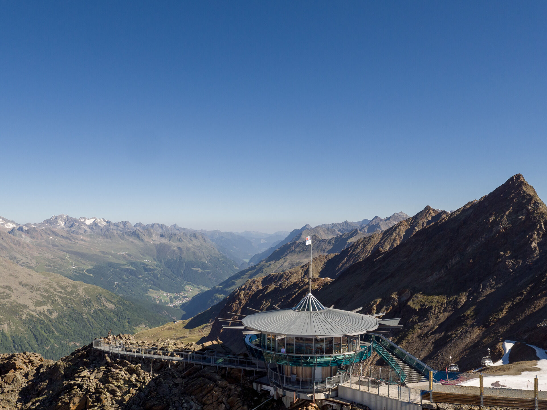
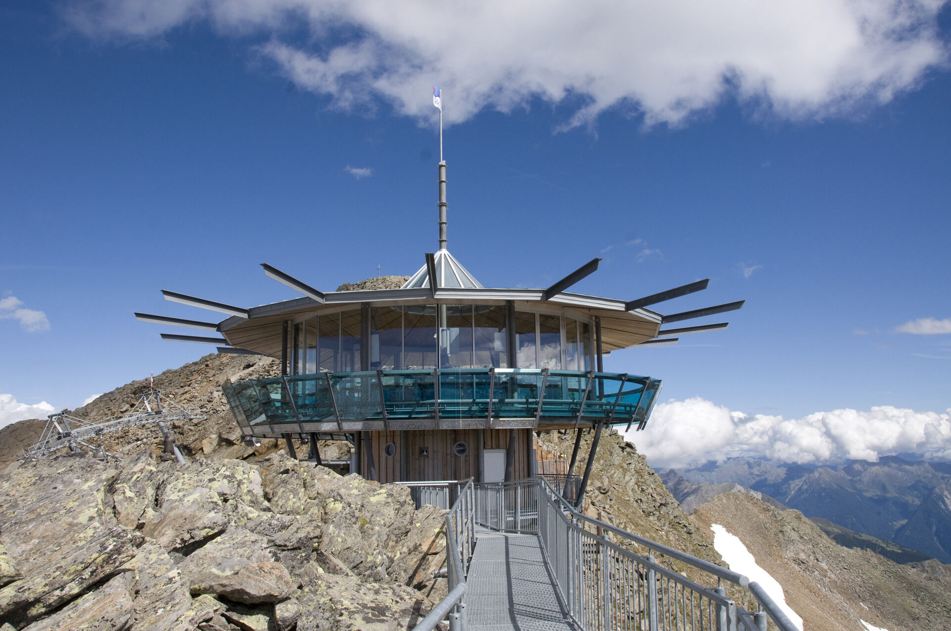

Above Hochgurgl, the hiking trail leads into the beautiful Königstal. From there, follow the Königsbach downstream to the valley end. Then the narrow, rocky hiking trail leads steeply up to the Top Mountain Star.
The Top Mountain Star can only be reached on foot in summer and is not staffed (only in winter).
Appropriate equipment such as breathable and weather-appropriate outdoor clothing, ankle-high hiking boots, wind, rain and sun protection, a hat, possibly gloves, is required for all hikes and routes. Carrying a first aid kit, a mobile phone and possibly a hiking map, as well as sufficient provisions for hikes without dining options, is necessary.
Moderate mountain path; suitable for sure-footed and experienced mountain hikers. Good physical condition, mountain experience, and mountain equipment (see under equipment) necessary. Please check the current weather report at: https://www.oetztal.com/de/sommer.html
Driving into the ÖTZTAL. Located in Tyrol, the ÖTZTAL branches southwards as the longest side valley of the Eastern Alps. Traveling by car takes visitors along the Inn valley to the valley entrance and continues along the Ötztal. In addition to the toll highway, country roads can also be used. Your route can be quickly and conveniently determined with the route planner: To the route planner: https://www.google.at/maps.
Travel comfortably and safely by train to the Ötztal station. The final stop or exit point is the ÖTZTAL station. Afterwards, you can travel conveniently and quickly by public transportation or local taxi companies throughout the valley to your desired destination. The current bus schedule is available at: http://fahrplan.vvt.at
The following parking options are available in Gurgl:
Parking garage village center Obergurgl (go down right in front of the church), paid | € 2.00 first hour, for every additional 1/2 hour € 1.00 up until max. € 16.00 for 24 hours
Parking garage village entrance – Festkoglbahn valley station, paid | € 6.00 from 8:00 am to 8:00 pm, € 10.00 from 8:00 pm to 8:00 am
Parking lot Hochgurglbahn valley station, free – no overnight parking
Parking lot Top Mountain Crosspoint, free
T2
More info about hiking in the Ötztal: https://www.oetztal.com/wandern
Spletne kamere s turneje
Obergurgl
Hochgurgl
Obergurgl
Gaisberg
Top Mountain Crosspoint Hochgurgl
Top Mountain Crosspoint Hochgurgl
Top Mountain Crosspoint Hochgurgl
Top Mountain Crosspoint Hochgurgl
Top Mountain Crosspoint Hochgurgl
Obergurgl
Obergurgl
Obergurgl
Obergurgl
Obergurgl
Obergurgl
Obergurgl
Obergurgl - Hotel Edelweiß
Top Mountain Crosspoint Hochgurgl
Pridobite vpogled Vedno v živo na mestu z več kot 9.500 spletnimi kamerami. bergfex Kot uporabnik Pro si lahko zdaj ogledate ustrezne spletne kamere za številne izlete v aplikaciji izleti iz. Tako si lahko neposredno ogledate trenutne razmere. Priljubljeni izleti v okolici
- 4.7
Vent - Kreuzspitze
Pohodništvo 20.6 km - 4.5
Passerschlucht
svetlobaPohodništvo 8.84 km - 4.4
Passerschlucht mit Stieber Wasserfällen, Trentino-Südtirol/Italien
srednjaPohodništvo 9.49 km - 4.4
Hochtour Wildspitze, 3.768m
srednjaVisokogorska tura 9.75 km - 4.4
Vent - Wilder Mann - Breslauer Hütte - Stableinalm
srednjaPohodništvo 7.25 km - 3.8
Breslauer Hut
srednjaPohodništvo 4.75 km - 4.9
Pfossental - vom Vorderkaser auf die Stettinerhütte
srednjaPohodništvo 23.7 km - 3.1
Tiefenbachglacier - Mountaineering Village Vent
srednjaPohodništvo 10.8 km - 4.4
Hochwilde - Pfelders
srednjaVisokogorska tura 22.1 km - 4.8
Seeber-See Rundweg
svetlobaGorski pohodništvo 7.96 km
Pohodništvo in sledenje


Ne zamudite ponudb in navdiha za naslednje počitnice
Vaš e-poštni naslov je bil dodan na poštni seznam.





