







Ski route from the Hanneburger guesthouse to the 2,725m high Hirzer
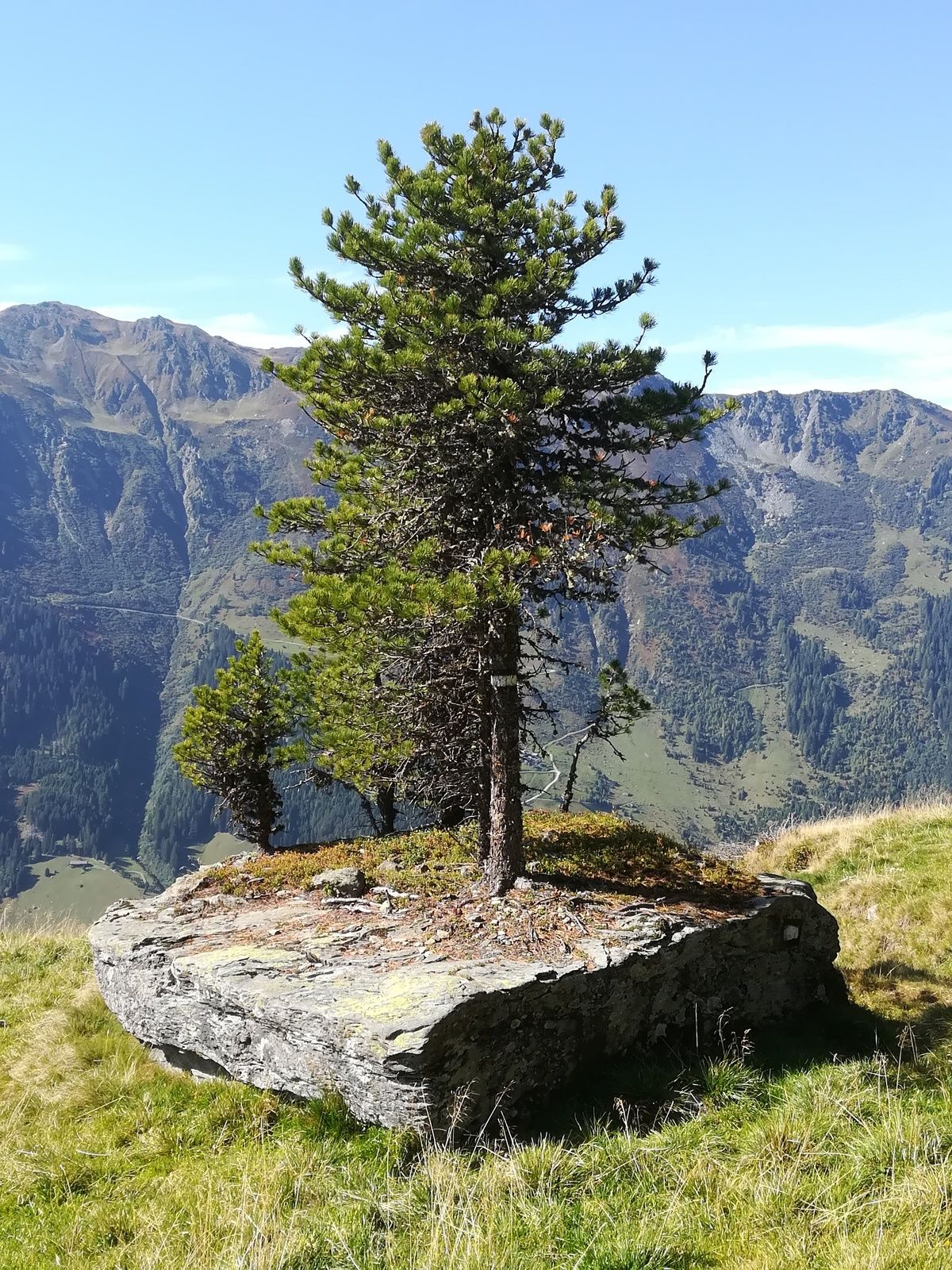



The route begins comfortably at the parking lot and winds in switchbacks up to the alpine meadows of the Pofersalm (1,600 m).
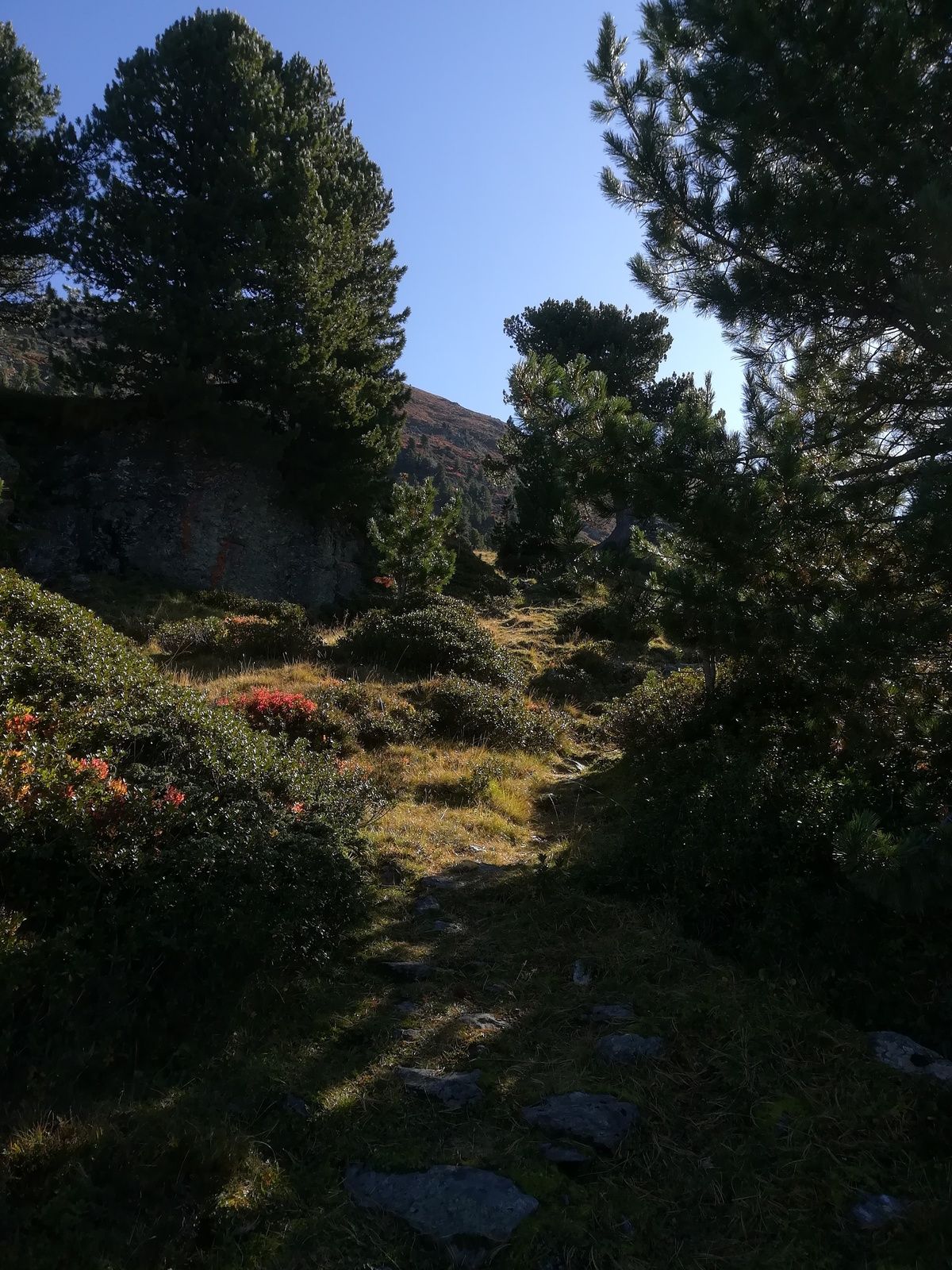
Across the open alpine meadows heading east, the path branches off just below the Pofersalm towards the southeast, passes a small alpine hut, and continues through a wide clearing and stone pine forest up to the Poferer Hochleger. Mostly heading east through ideal terrain, you gain height and follow the northwest ridge. The last few meters lead on foot without skis to the summit.
The descent follows the ascent route.
You pass through a military training area. The trails may be temporarily closed at times.
There is parking available at the Hanneburger guesthouse.

Priljubljeni izleti v okolici
- 5.0
Loassattel - Kuhmesser - Kellerjoch - Kellerjoch Kapelle - Hochebenweg - Loassattel
srednjaPohodništvo 8.70 km - 4.8
Felix-Kuen via ferrata on the Hundskopf
težkoVia ferrata 2.18 km - 4.7
3 Almen Karwendelrunde MTB Route 408
težkoMountainbike 23.8 km - 4.9
Patscherkofel Gipfelrunde mit Zirbenweg
svetlobaPohodništvo 6.52 km - 4.7
Hochfügen, Vier-Almen-Tour, Tirol/Österreich
svetlobaPohodništvo 7.82 km - 4.6
Patscherkofl
srednjaPohodništvo 18.5 km - 4.9
4-Gipfel-Tour zum Gilfert
srednjaPohodništvo 11.2 km - 4.6
To the scenic Hochmahdkopf
srednjaPohodništvo 8.31 km - 4.1
Innsbruck/ Igls: Patscherkofel
Mountainbike 14.1 km - 4.5
Up to the Largoz
srednjaPohodništvo 7.01 km
Pohodništvo in sledenje


Ne zamudite ponudb in navdiha za naslednje počitnice
Vaš e-poštni naslov je bil dodan na poštni seznam.





