
Ski tour Hoher Bösring 2.324m
srednja
Pridobite to turo v svoj mobilni telefon
Ski tour Hoher Bösring 2.324m
srednja
Smučarska tura
4.76
km
Skenirajte kodo QR in začnite navigacijo v aplikaciji bergfex.


Pohodništvo in sledenje




Ski tour Hoher Bösring 2.324m
srednja
Razdalja
4.76
km
Trajanje
03:00
h
Ascent
896
hm
Morska gladina
1,380 -
2,291
m
Prenos skladbe
Ski tour Hoher Bösring 2.324m
srednja
Smučarska tura
4.76
km
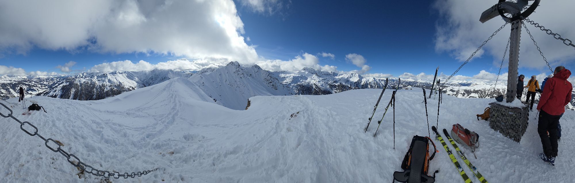
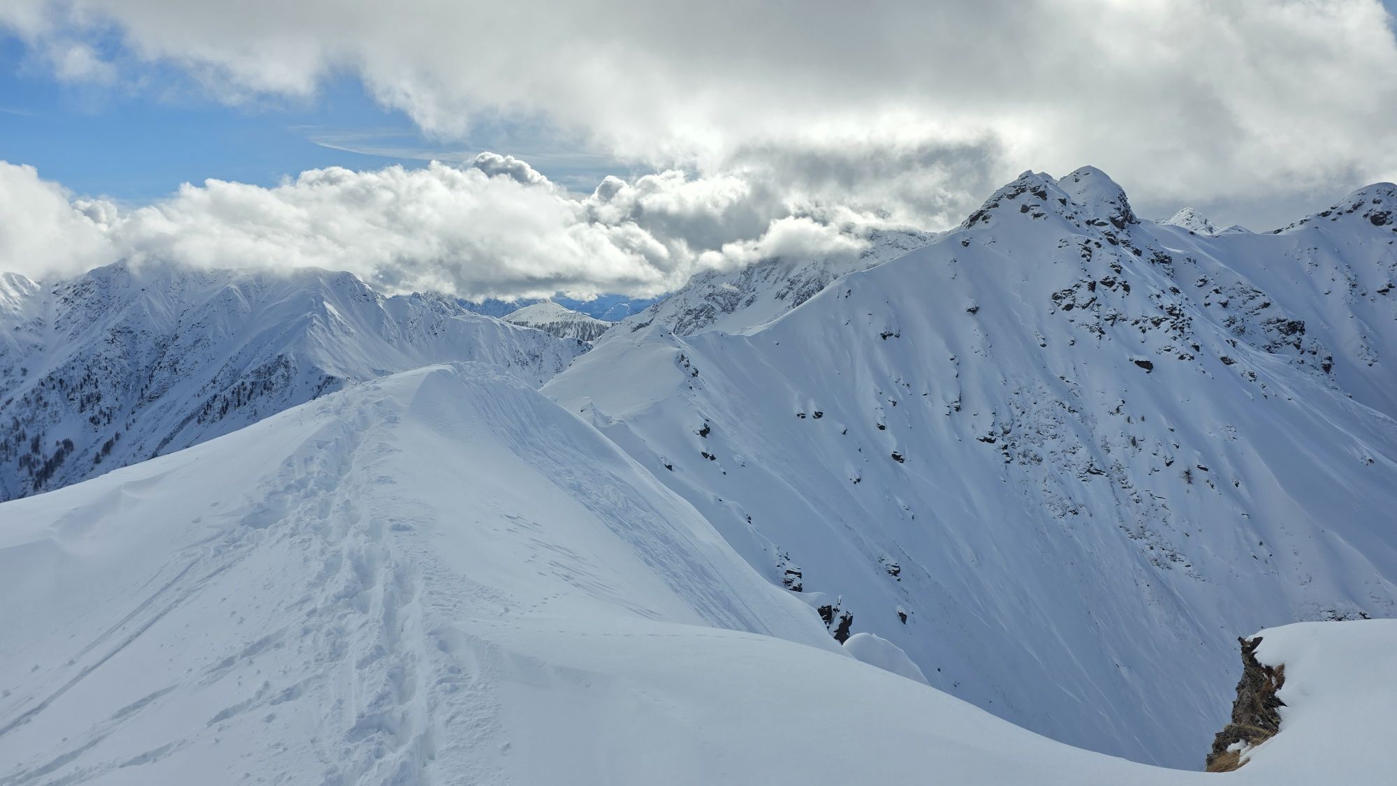
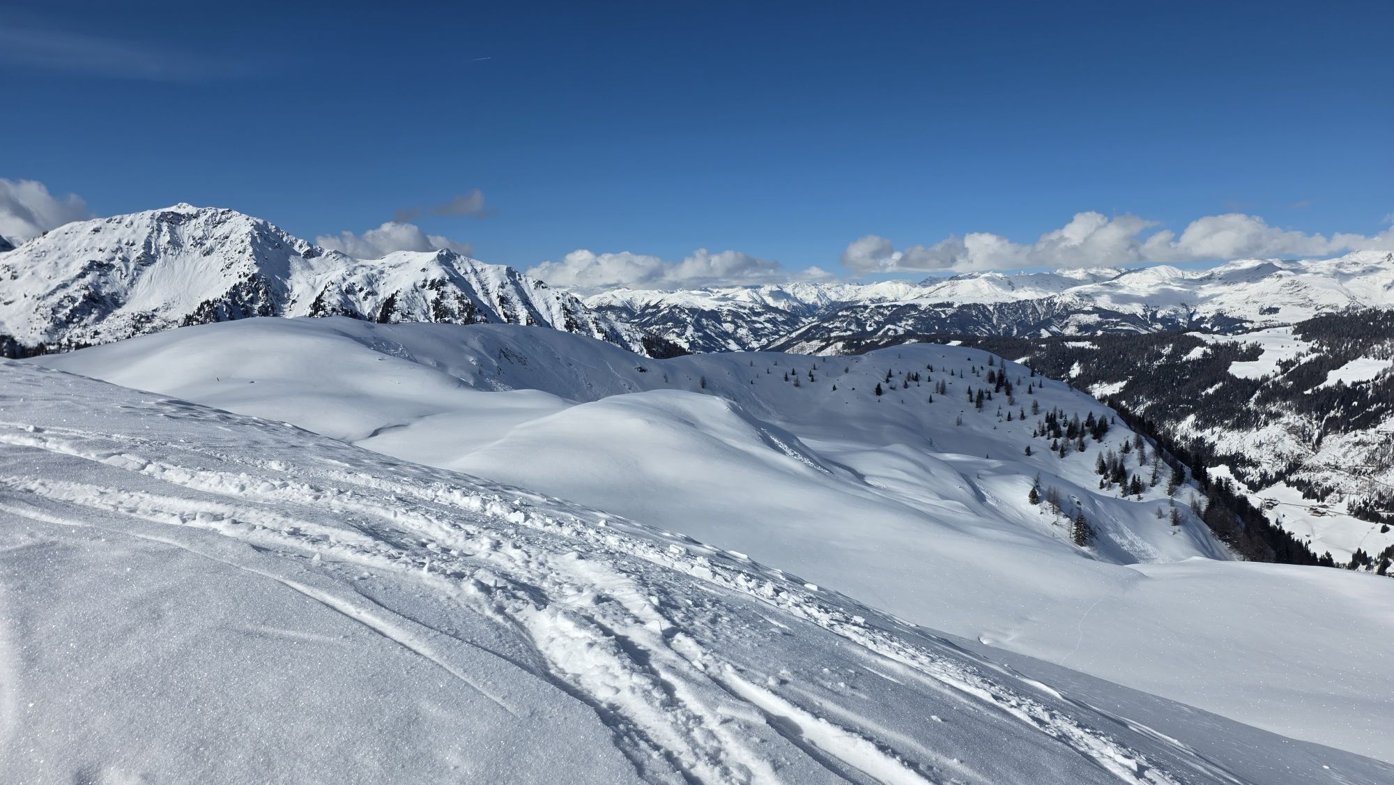
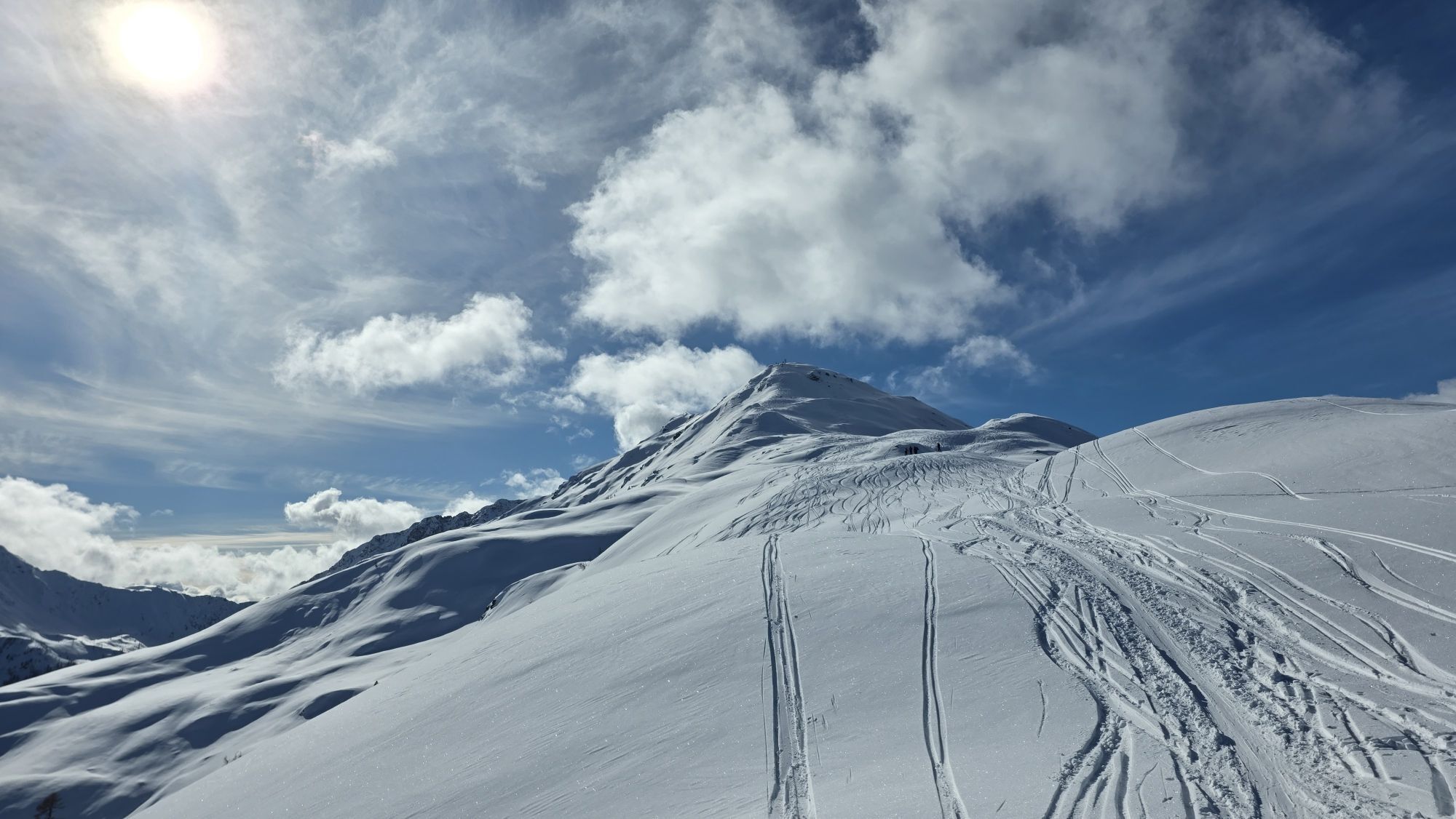
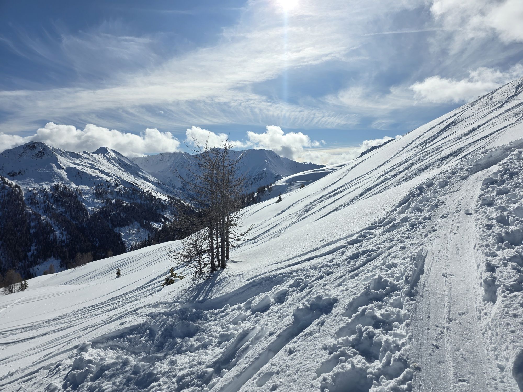
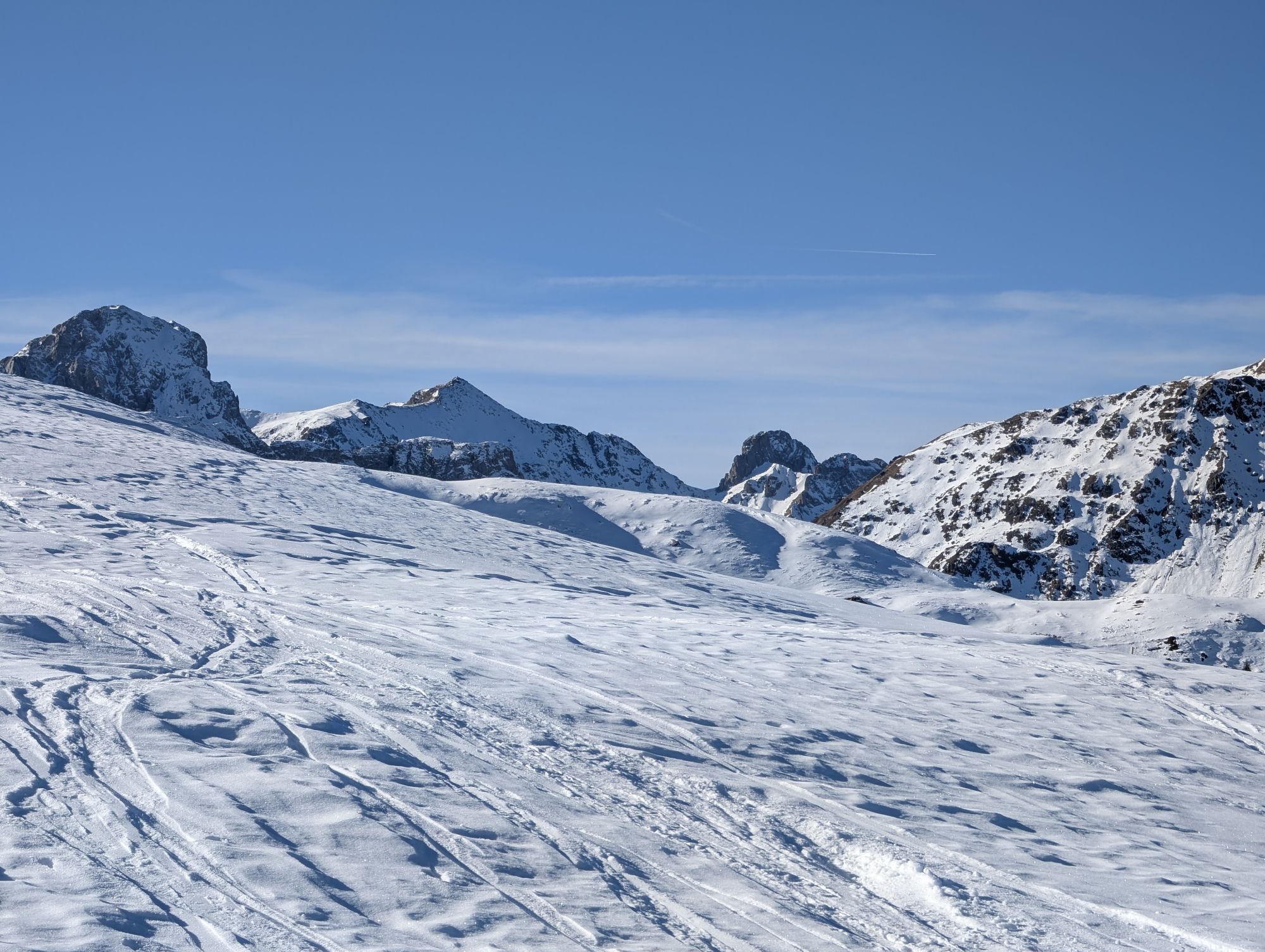
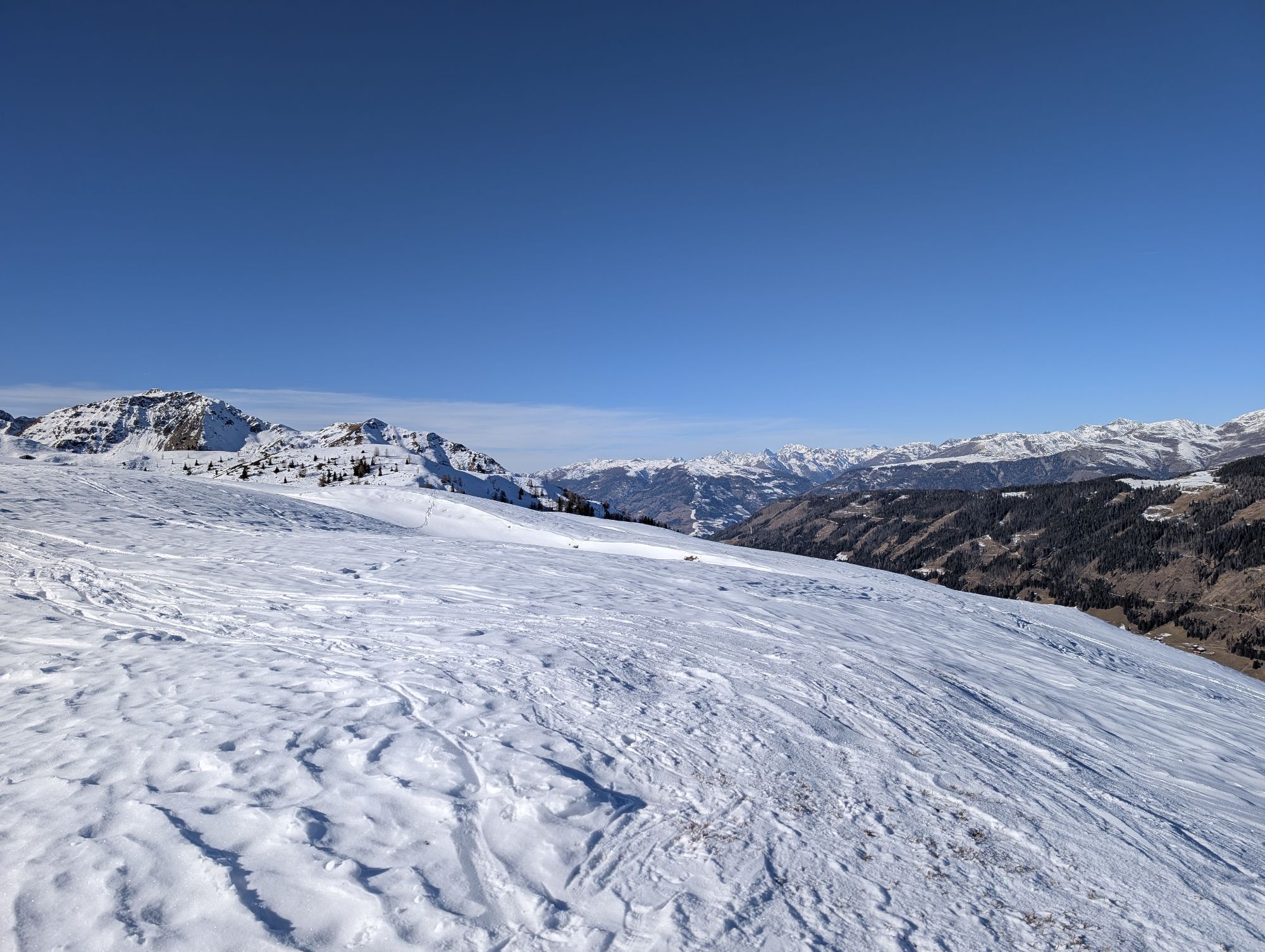
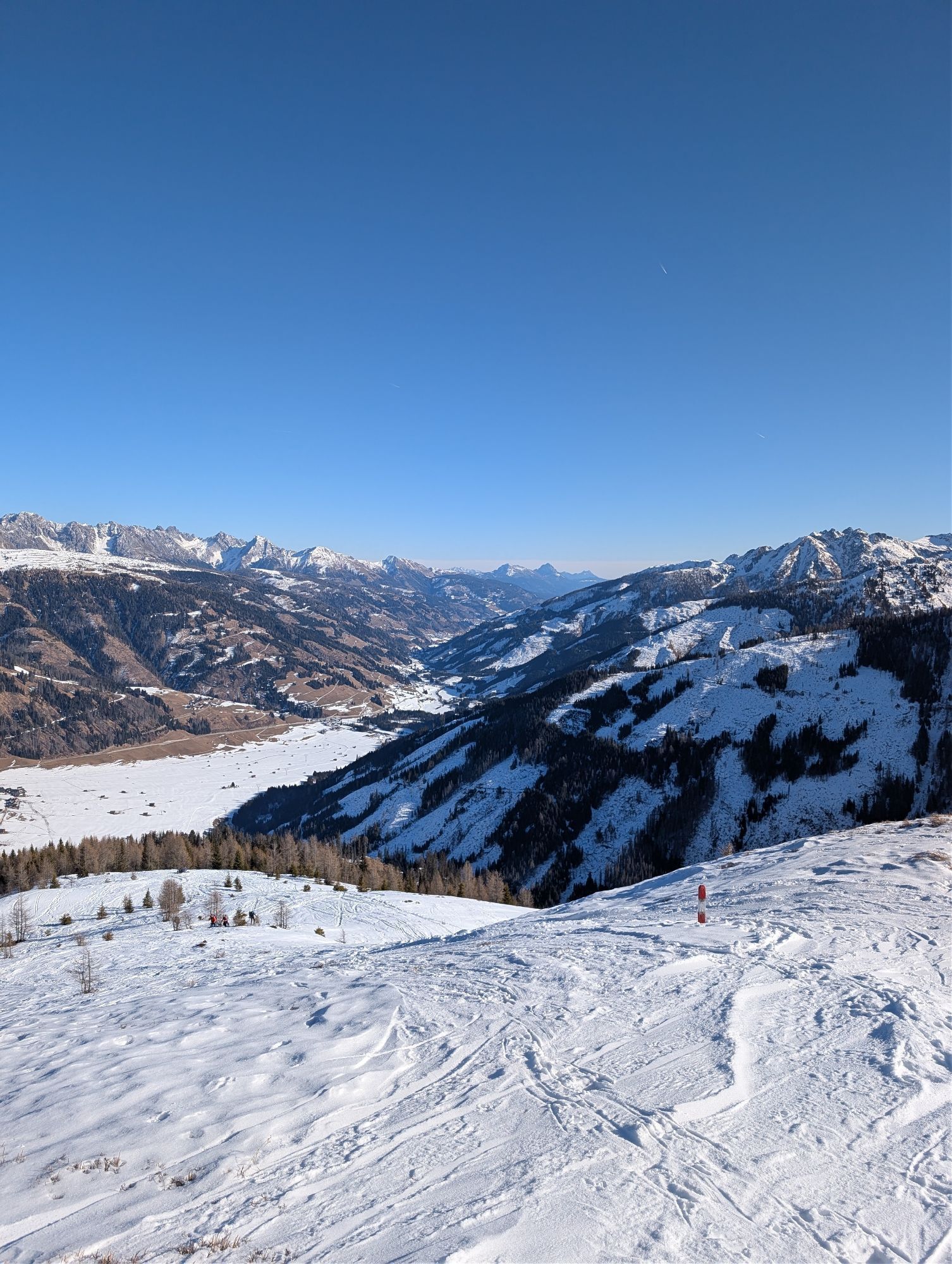
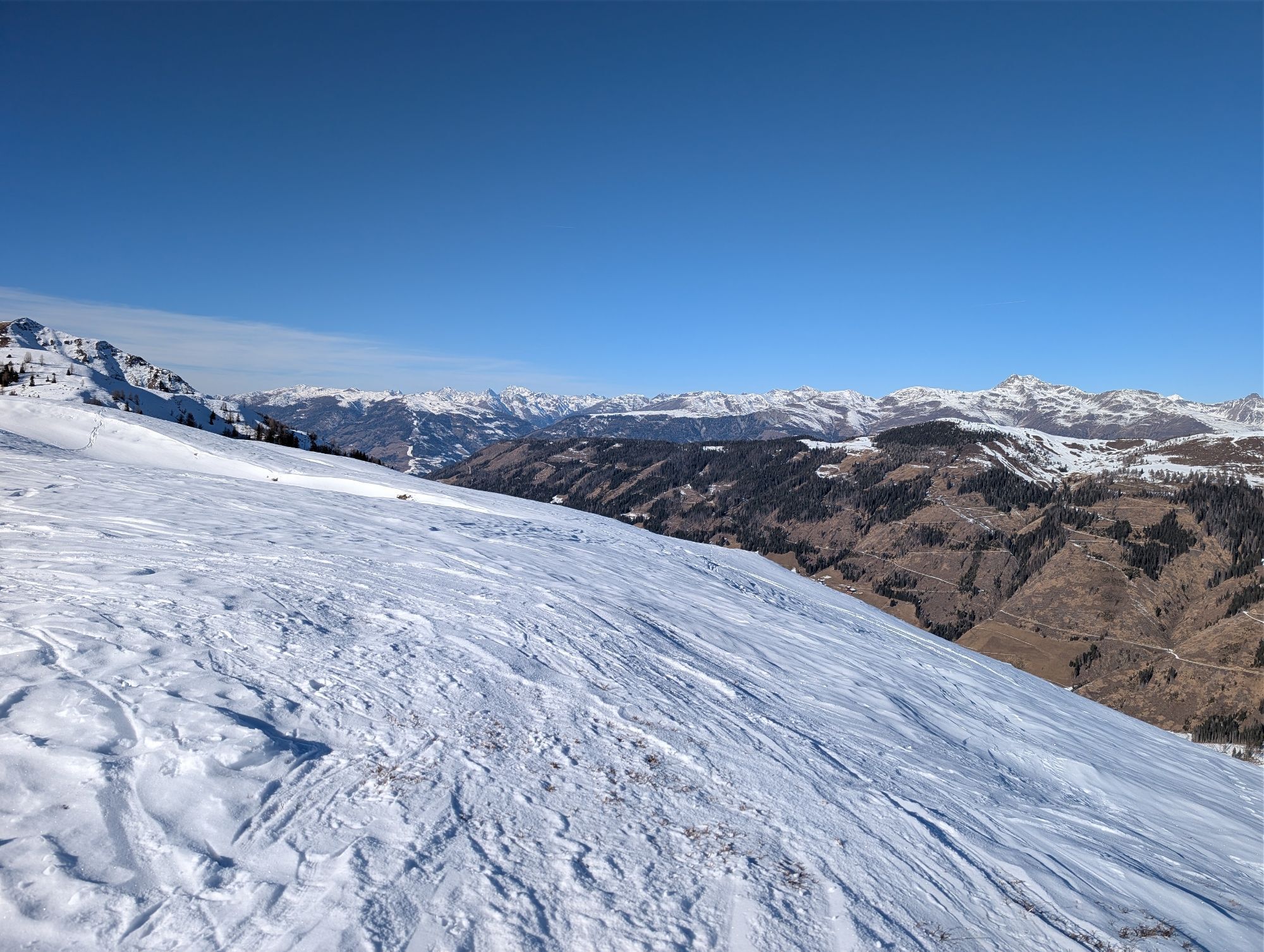
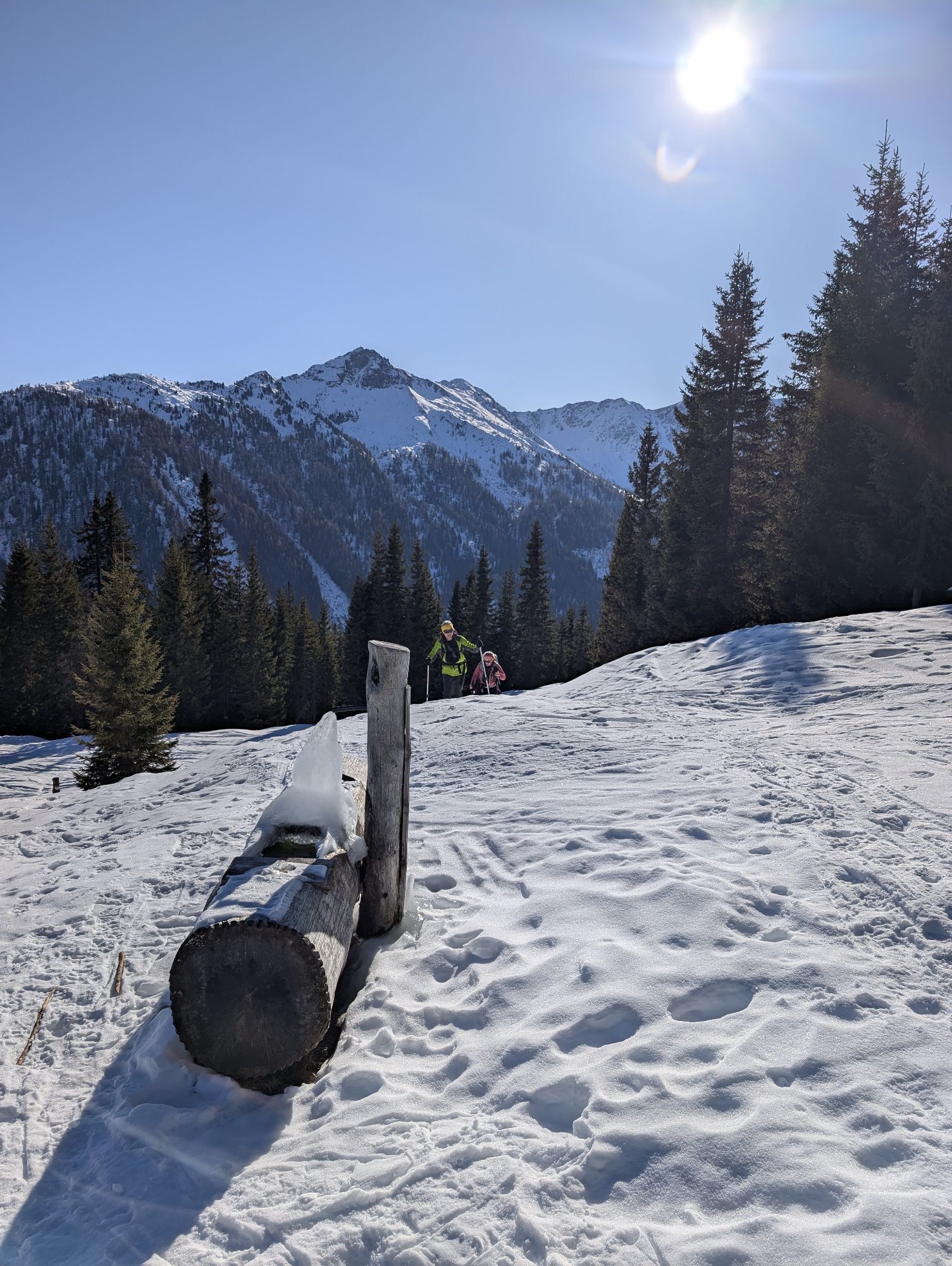
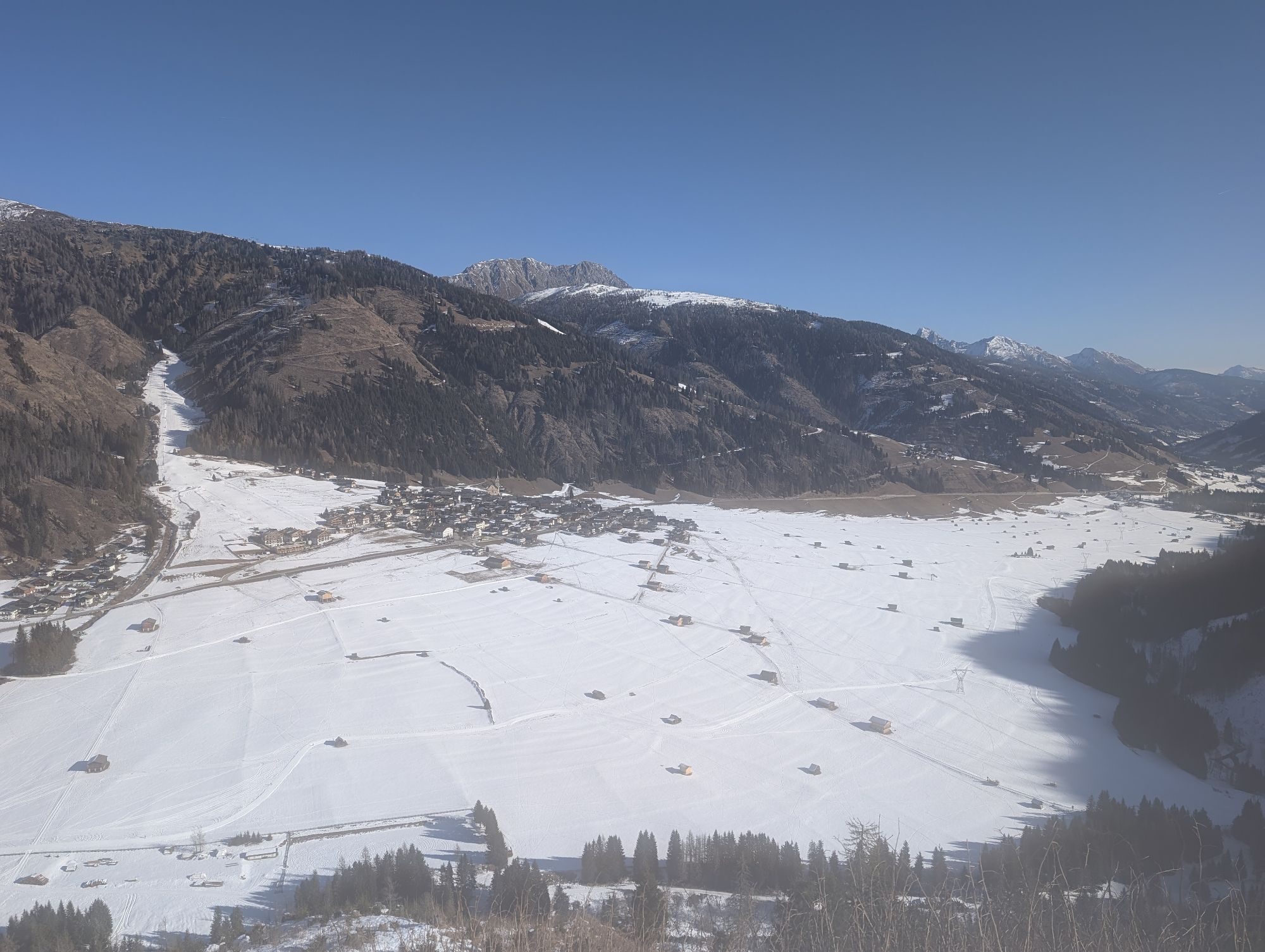
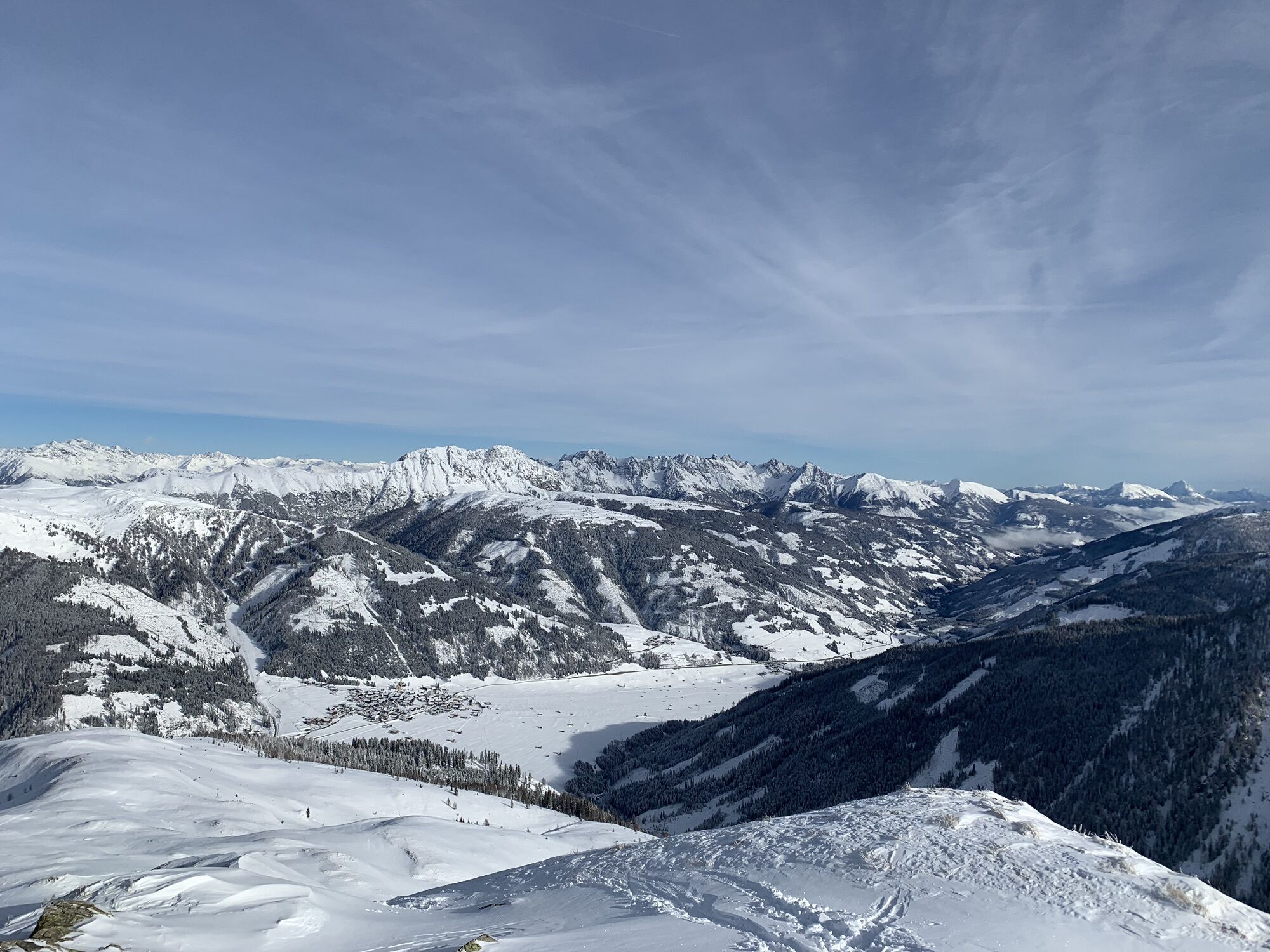
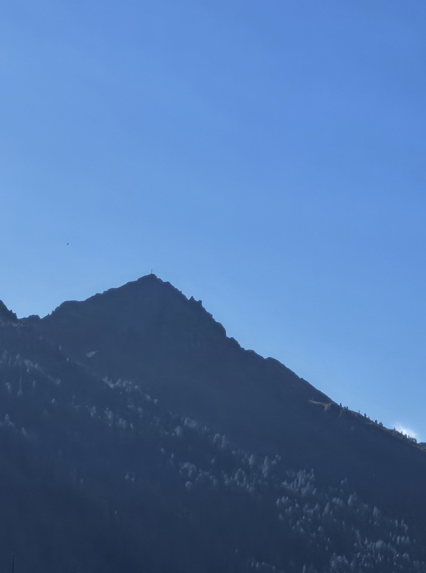
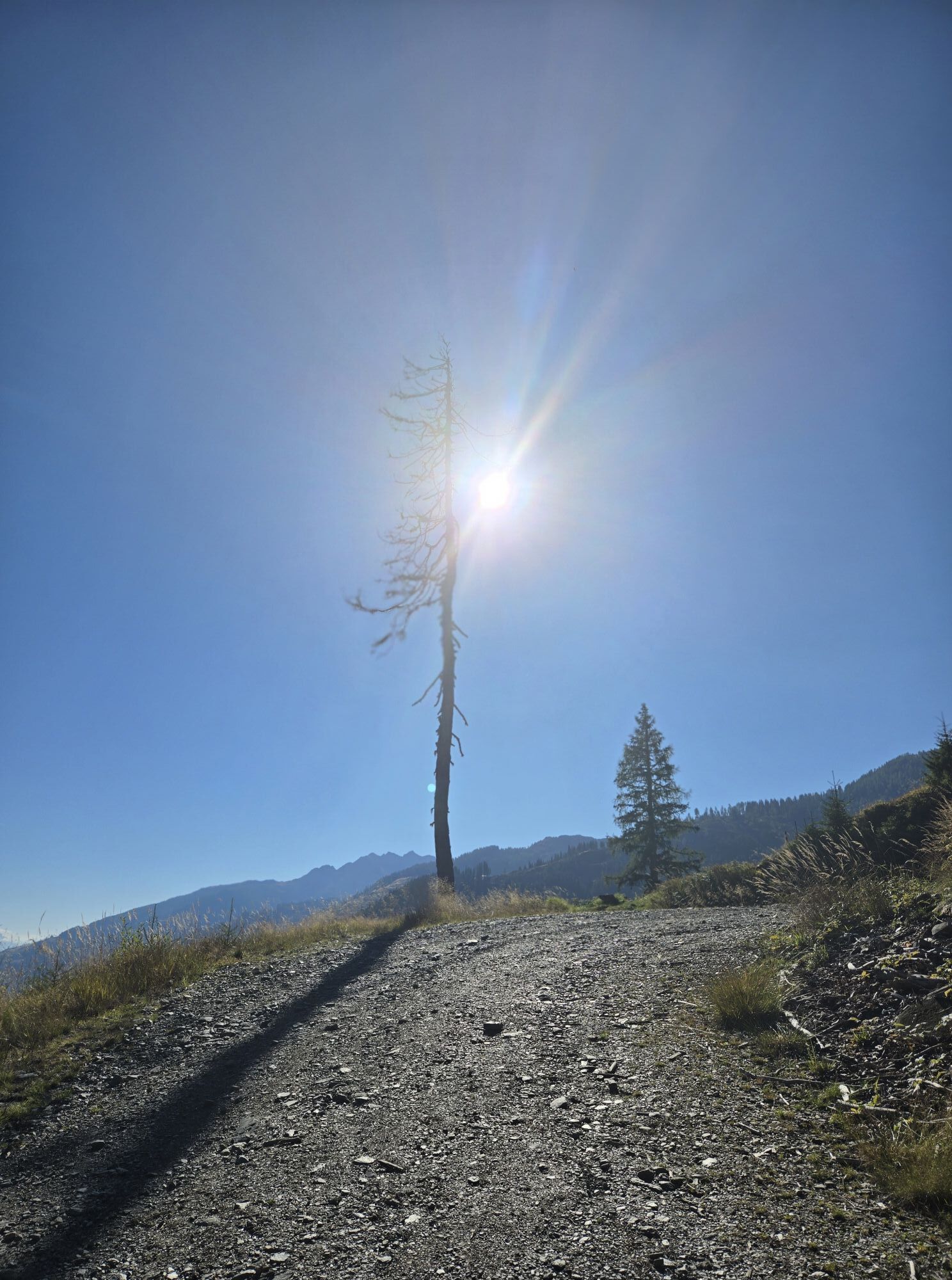
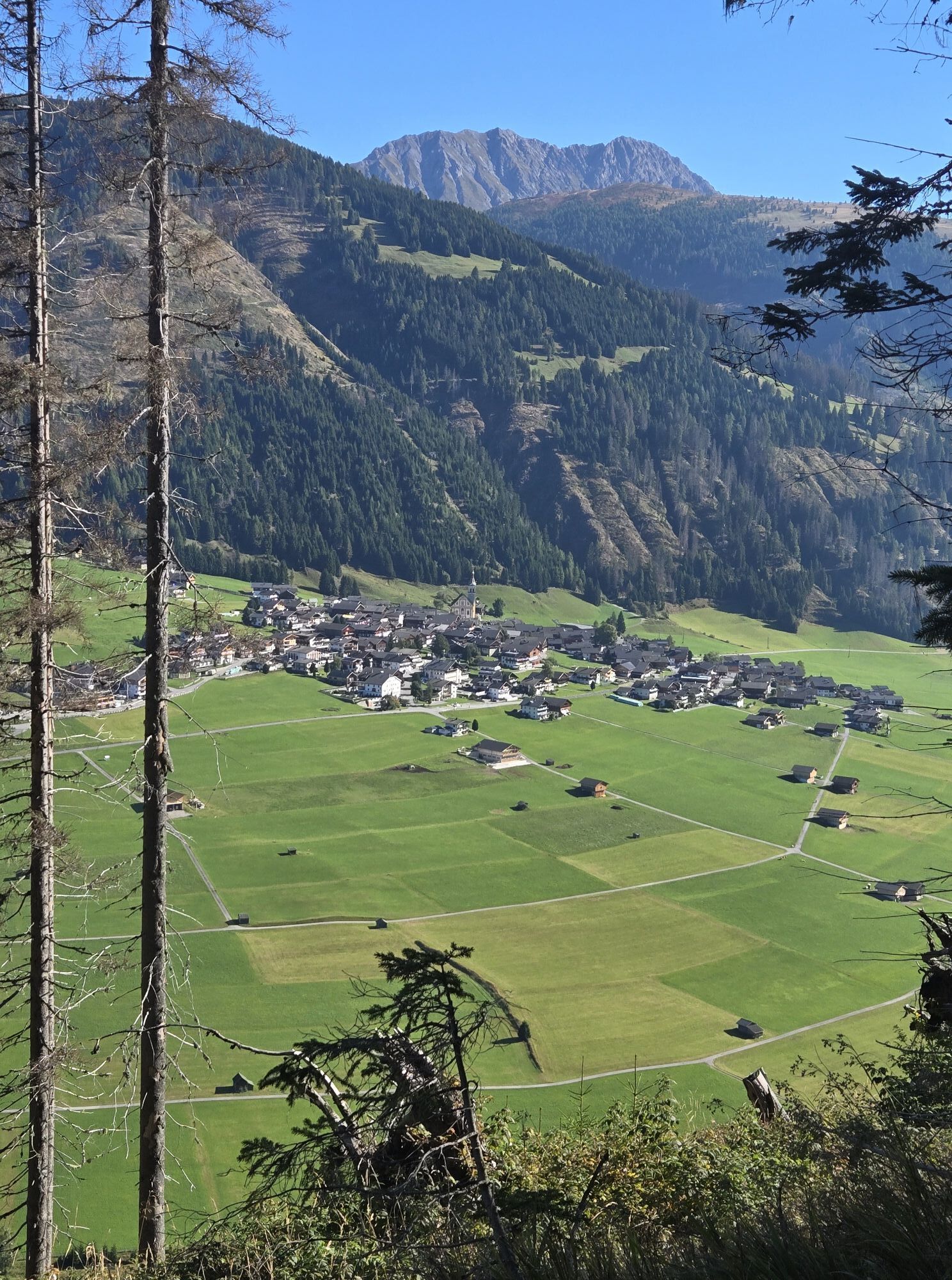
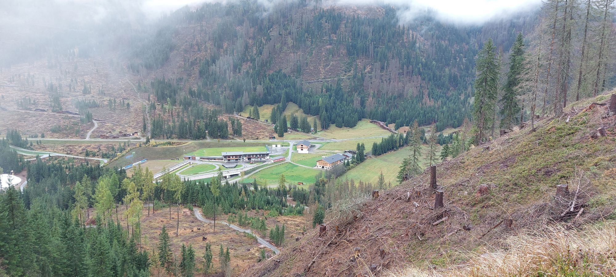
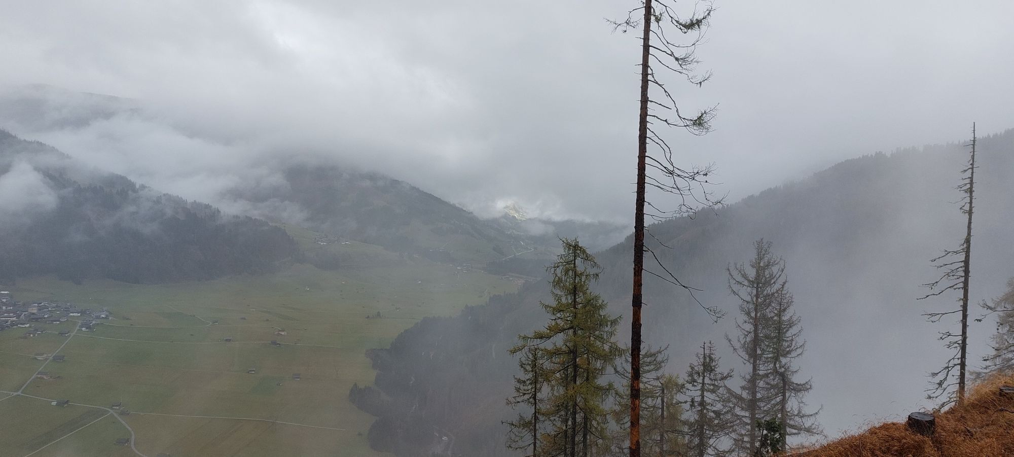
The ridge of the Hoher Bösring is in the shaded side of Obertilliach and separates Obertilliacher Tal from Leitental. The domed peak rises gently from the steep protected forest and is great for a trip...
Opis
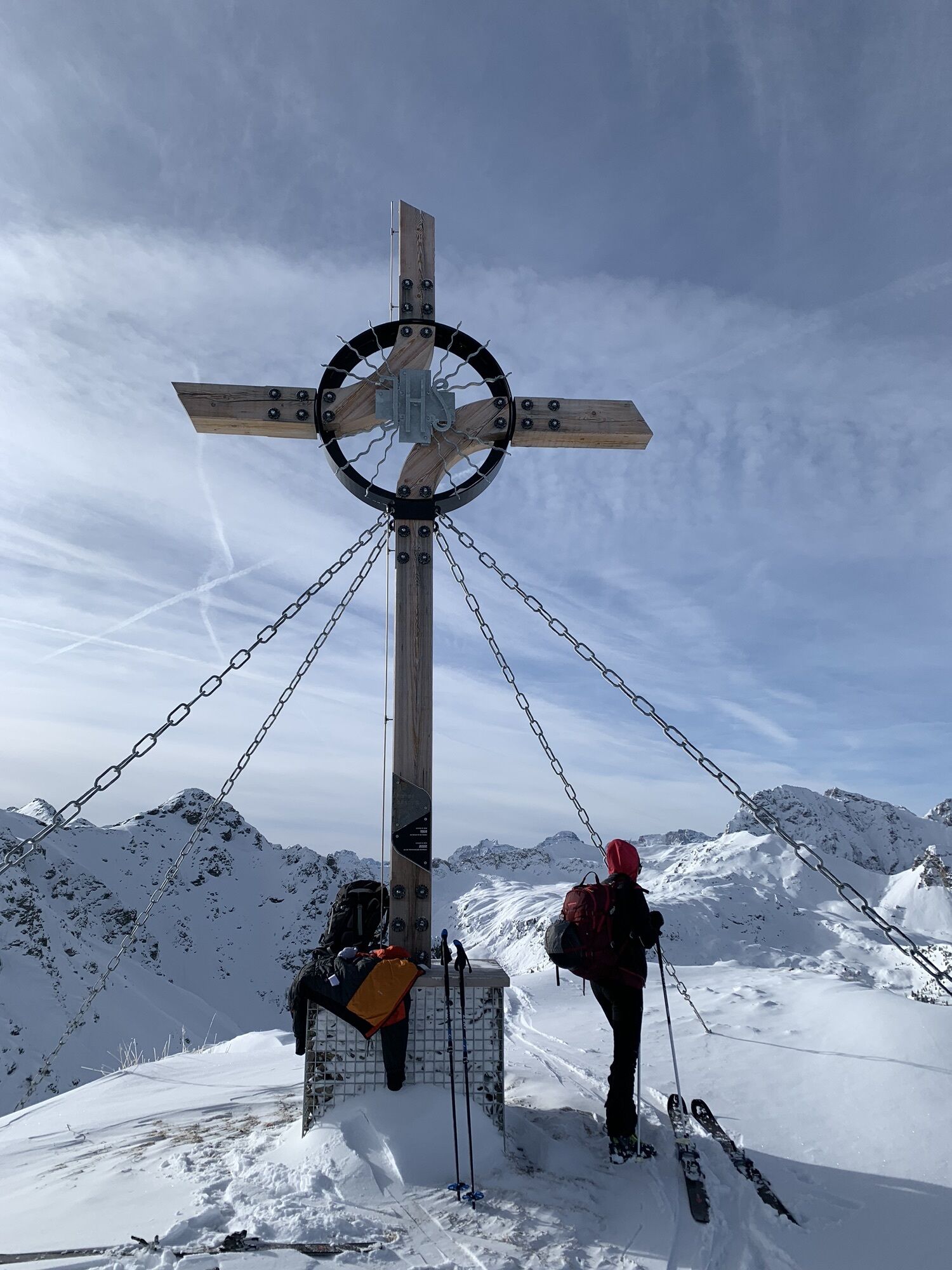
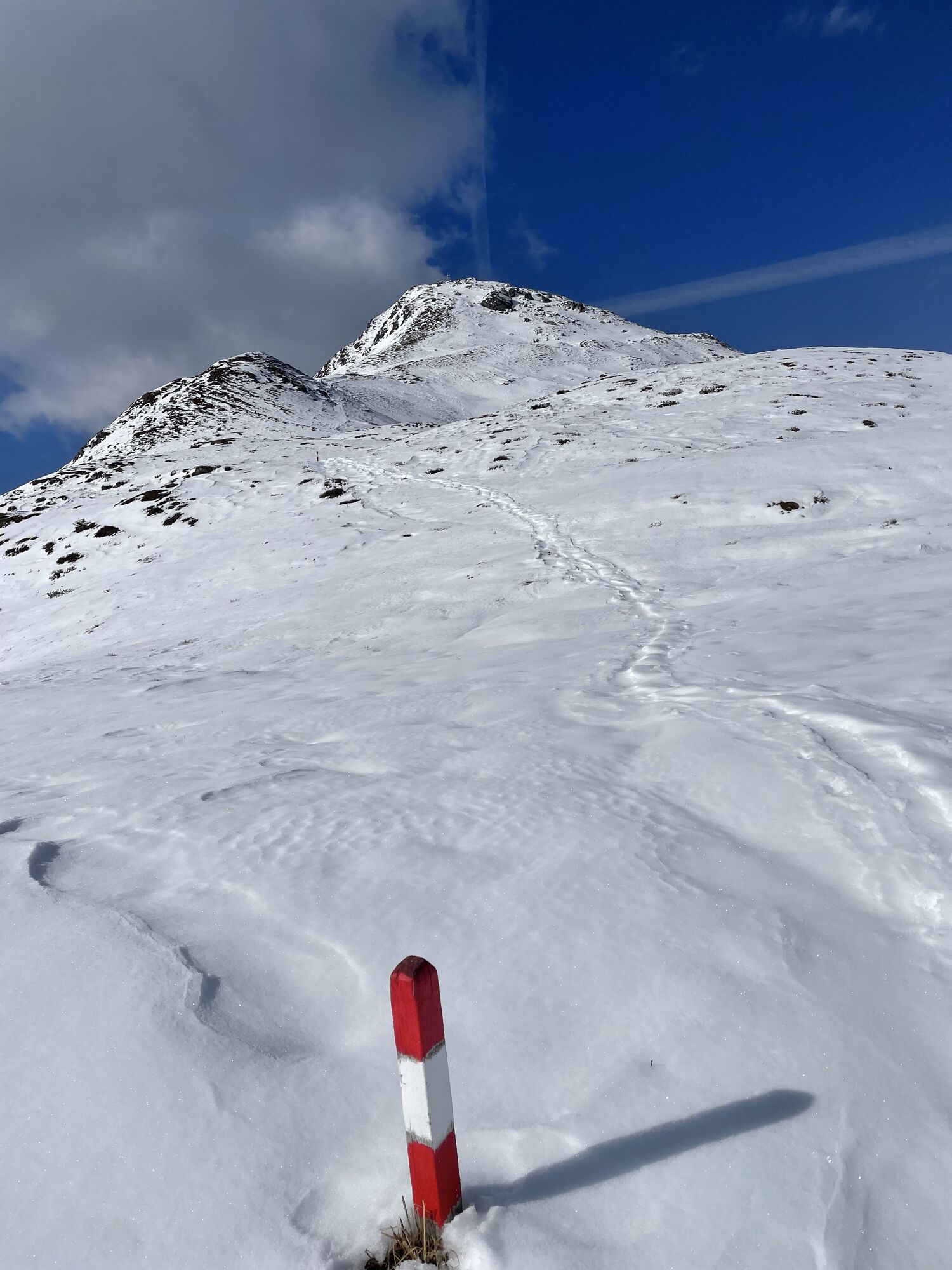
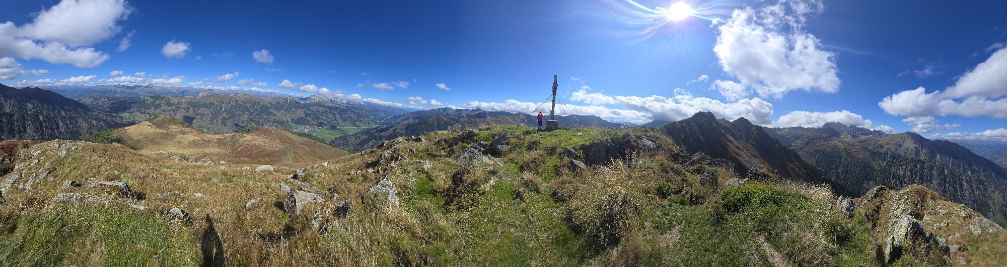
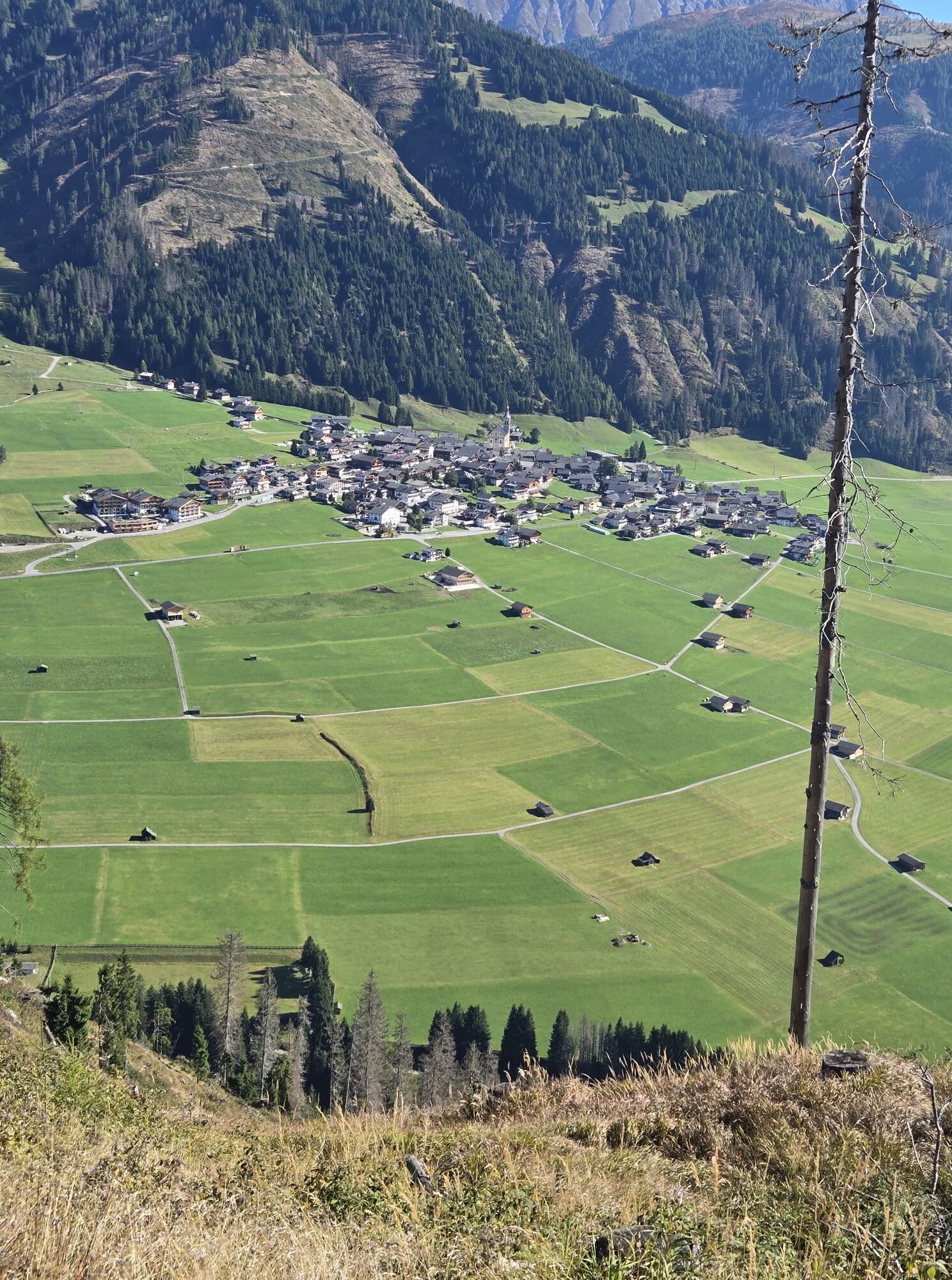
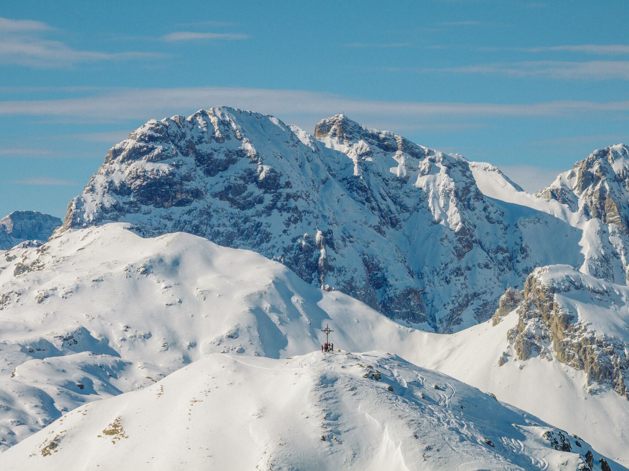
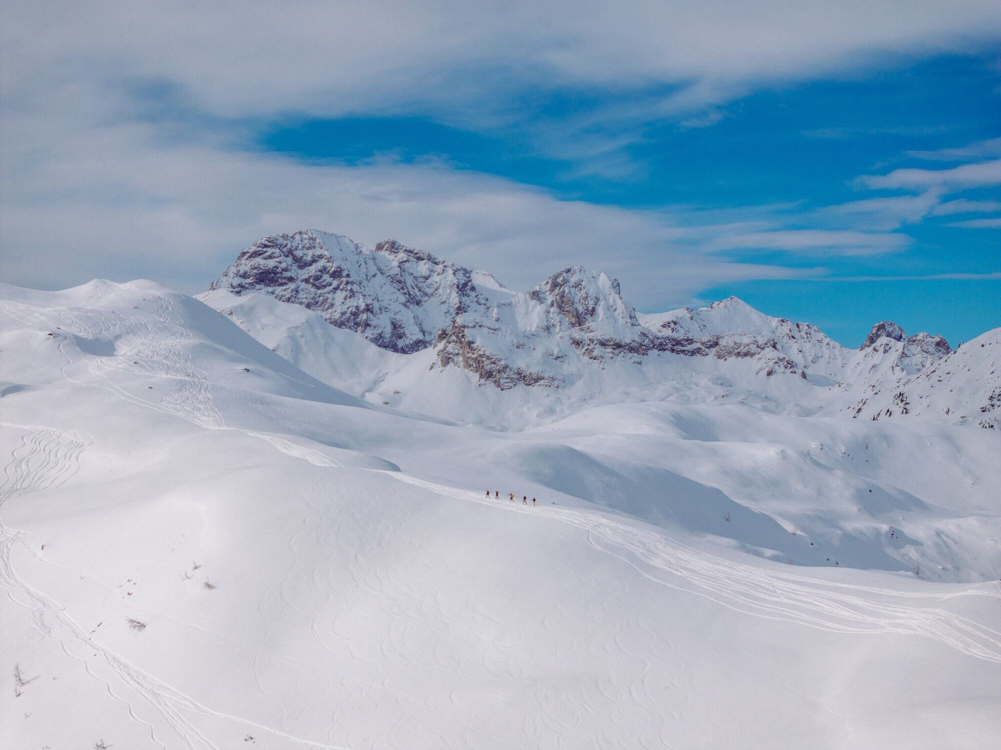
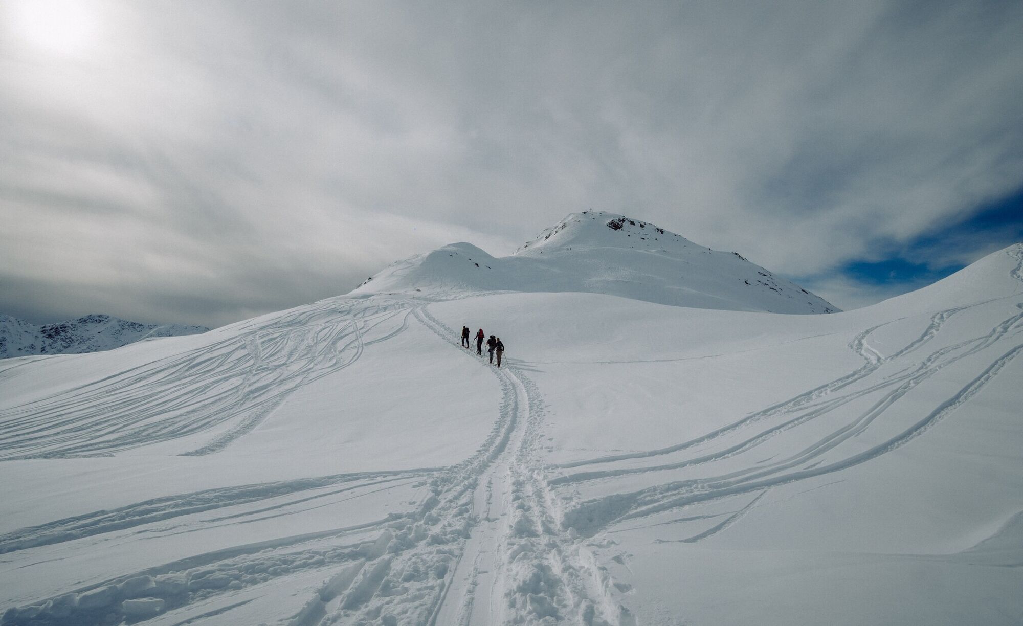
The ridge of the Hoher Bösring is in the shaded side of Obertilliach and separates Obertilliacher Tal from Leitental. The domed peak rises gently from the steep protected forest and is great for a trip in the depths of winter due to the low risk of avalanche. A forest road proceeds to the forest limit, which, depending on the snow, can be used for the descent and also makes it possible for less proficient skiers or those new to ski touring to get down safely. Starting point is the biathlon centre, around 1 kilometre to the west of Obertilliach (large car parking area). Where the slope climbs from its lowest point out of the bottom of the river and into the shaded forest, is where our tour begins (yellow signposts). Follow the slope briefly before heading into the dark forest and cutting the forest trail short by taking the mostly powder snow covered track. We get to a Jagdhüttl, which is in a romantic glade, before the track takes us back without any difficulties into open terrain. While we cross the little rise of the Zwieselegg (2169 m) the summit of the Hoher Bösring is already well visible. The short north-facing slope which follows can be tackled in just a few hairpin bends and is a key section in terms of avalanche technique (2 ½ - 3 hours from the car park). Descent along the ascent track and depending on the conditions, via the forest trail back into the valley.
Additional ski tour tips can be obtained in the ski tour guides by Thomas Mariacher. These are available here: http://www.grafikzloebl.at/verlag/buecher/
Additional ski tour tips can be obtained in the ski tour guides by Thomas Mariacher. These are available here: http://www.grafikzloebl.at/verlag/buecher/
Pot
Pot
Ski tour Hoher Bösring 2.324m
srednja
Smučarska tura
4.76
km

Zadnji spremljani
4 dni nazaj

Informacije o prihodu
Prihod
Mit dem Auto bis zum Biathlonzentrum Obertilliach
Javni prevoz
Mit dem Bus bis zur Haltestelle "Obertilliach Biathlonzentrum"
Parkirišče
Parkplatz Obertilliach
Vrednotenja
1 Komentar:

sepp ranner

18. මාර්. 2025
Preverjeno ni več
Schön
Spletne kamere s turneje
Pridobite vpogled Vedno v živo na mestu z več kot 9.500 spletnimi kamerami. bergfex Kot uporabnik Pro si lahko zdaj ogledate ustrezne spletne kamere za številne izlete v aplikaciji izleti iz. Tako si lahko neposredno ogledate trenutne razmere. Dejavnosti na poti

Obertilliach, Tirol/Österreich
04.06.2026 – PohodništvoObertilliach, Tirol/Österreich
04.06.2026 – Pohodništvo
Obertilliach, Tirol/Österreich
18.05.2026 – PohodništvoObertilliach, Tirol/Österreich
04.05.2026 – E-kolesa
Obertilliach - Zwiesel
22.01.2026 – Snežni čevlji
Obertilliach, Tirol/Österreich
28.09.2025 – Pohodništvo
Obertilliach, Tirol/Österreich
15.09.2025 – Pohodništvo
Gemeinde Obertilliach, Gipfel Zwiesel
25.10.2023 – Pohodništvo
Priljubljeni izleti v okolici
- 4.8
Rotwandwiesen kreuzbergpass rundweg
srednjaPohodništvo 12.0 km - 4.5
Kartitsch-Obstansersee Hütte
srednjaPohodništvo 13.1 km - 4.5
Obergail - Obergailer Alm - Obergailer Lake - Enderberg hut - Source for Health & Peace - Madonna circular hiking route - Obergail
srednjaPohodništvo 11.4 km - 4.3
Connyalm (2.070 m)
Pohodništvo 6.36 km - 4.1
Helm und Sillianer Hütte
svetlobaPohodništvo 8.17 km - 5.0
Porzehütte (1.942 m)
svetlobaPohodništvo 9.01 km - 5.0
Tuffbad - Guggenberger Sattel - Samalm - Tuffbad
srednjaPohodništvo 12.2 km - 5.0
Carnic altitude trail. Stage 4: Porzehütte – Hochweißsteinhaus
težkoPohodništvo 17.5 km - 4.8
Sillianer Hütte 2.447 m
srednjaPohodništvo 16.8 km - 3.9
Circular hike Obergail - Gamskofel - Obergail Alm - Obergail
srednjaPohodništvo 13 km
Pohodništvo in sledenje

Zaradi več kot 550.000 predlogov izletov, podrobnih zemljevidov in intuitivnega načrtovanja poti je aplikacija obvezna oprema za vse ljubitelje narave.

Ne zamudite ponudb in navdiha za naslednje počitnice
Naročite se na novice
Napaka
Zgodila se je napaka. Prosimo, poskusite znova.Zahvaljujemo se vam za prijavo
Vaš e-poštni naslov je bil dodan na poštni seznam.
Izleti po vsej Evropi
Avstrija Švica Nemčija Italija Slovenija Francija Nizozemska Belgija Poljska Lihtenštajn Češka Slovaška Španija Chorvátsko Bosna in Hercegovina Luksemburg Andora පෘතුගාලය අයිස්ලන්තය එක්සත් රාජධානිය අයර්ලන්තය ග්රීසිය ඇල්බේනියාව North Macedonia Malta Norway Montenegro Moldova කොසෝවො හන්ගේරියානු සමුහාණ්ඩුව San Marino රුමේනියාව එස්ටෝනියා ලැට්වියාව බෙලාරස් සයිප්රස් Lithuania Serbia බල්ගේරියාව Monaco ඩෙන්මාර්කය Sweden ෆින්ලන්තය





