
Ski tour Gabesitten 2.665 m
svetloba
Pridobite to turo v svoj mobilni telefon
Ski tour Gabesitten 2.665 m
svetloba
Smučarska tura
4.44
km
Skenirajte kodo QR in začnite navigacijo v aplikaciji bergfex.


Pohodništvo in sledenje





Ski tour Gabesitten 2.665 m
svetloba
Razdalja
4.44
km
Trajanje
04:30
h
Ascent
937
hm
Morska gladina
1,715 -
2,662
m
Prenos skladbe
Ski tour Gabesitten 2.665 m
svetloba
Smučarska tura
4.44
km
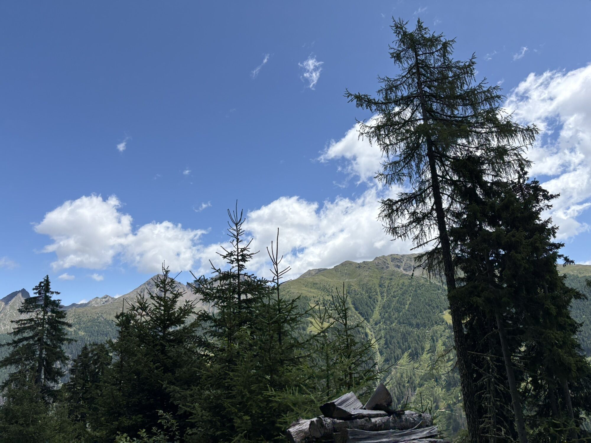
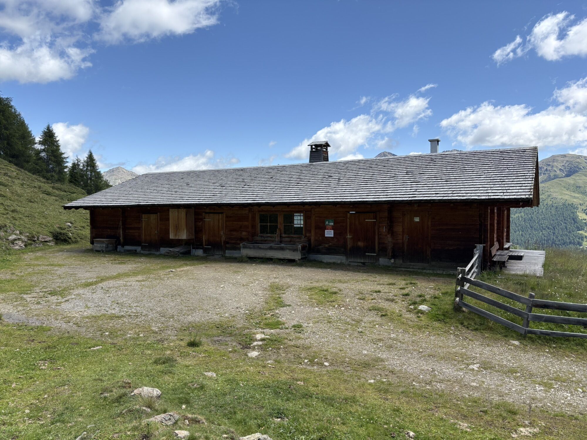
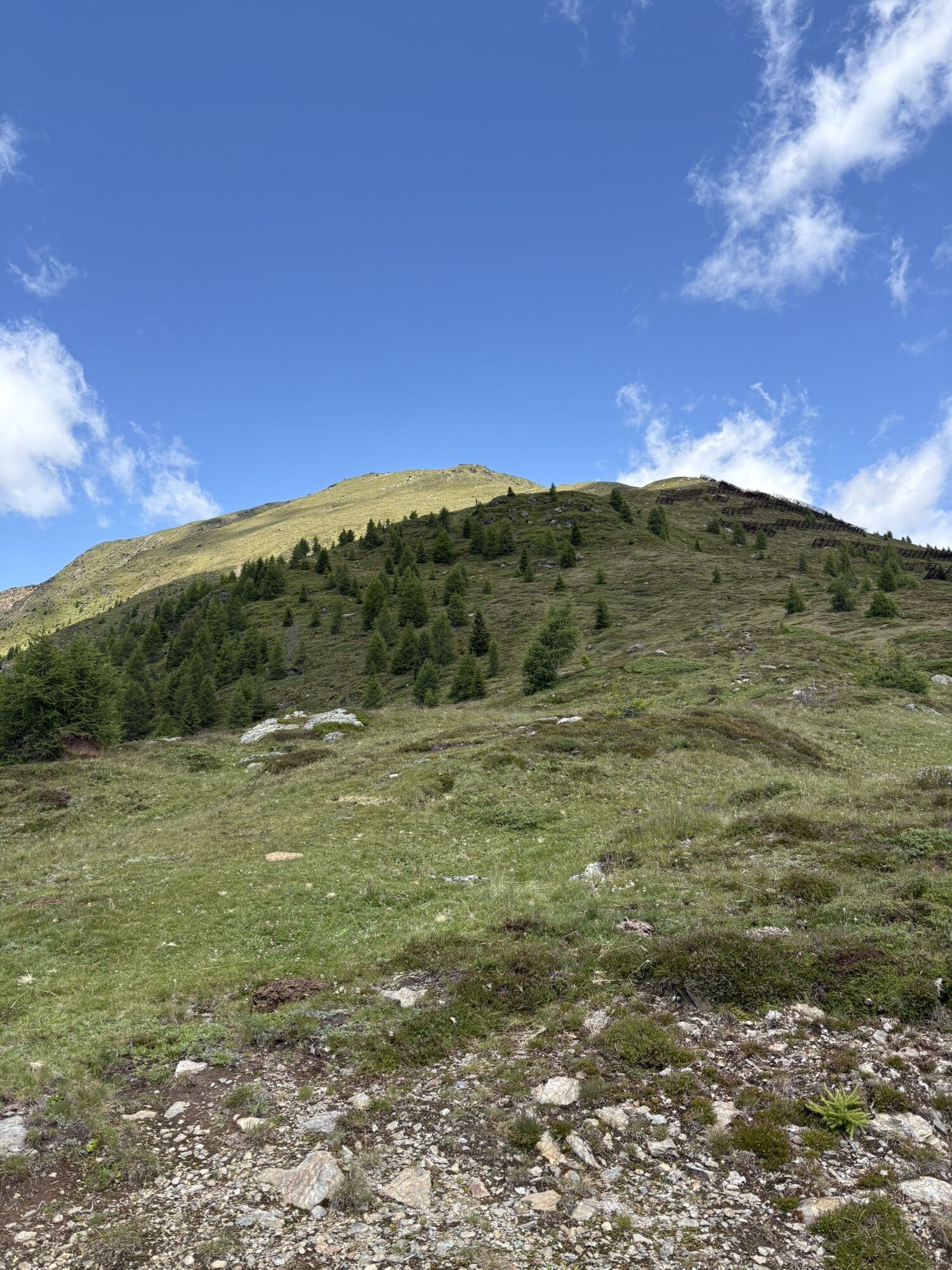
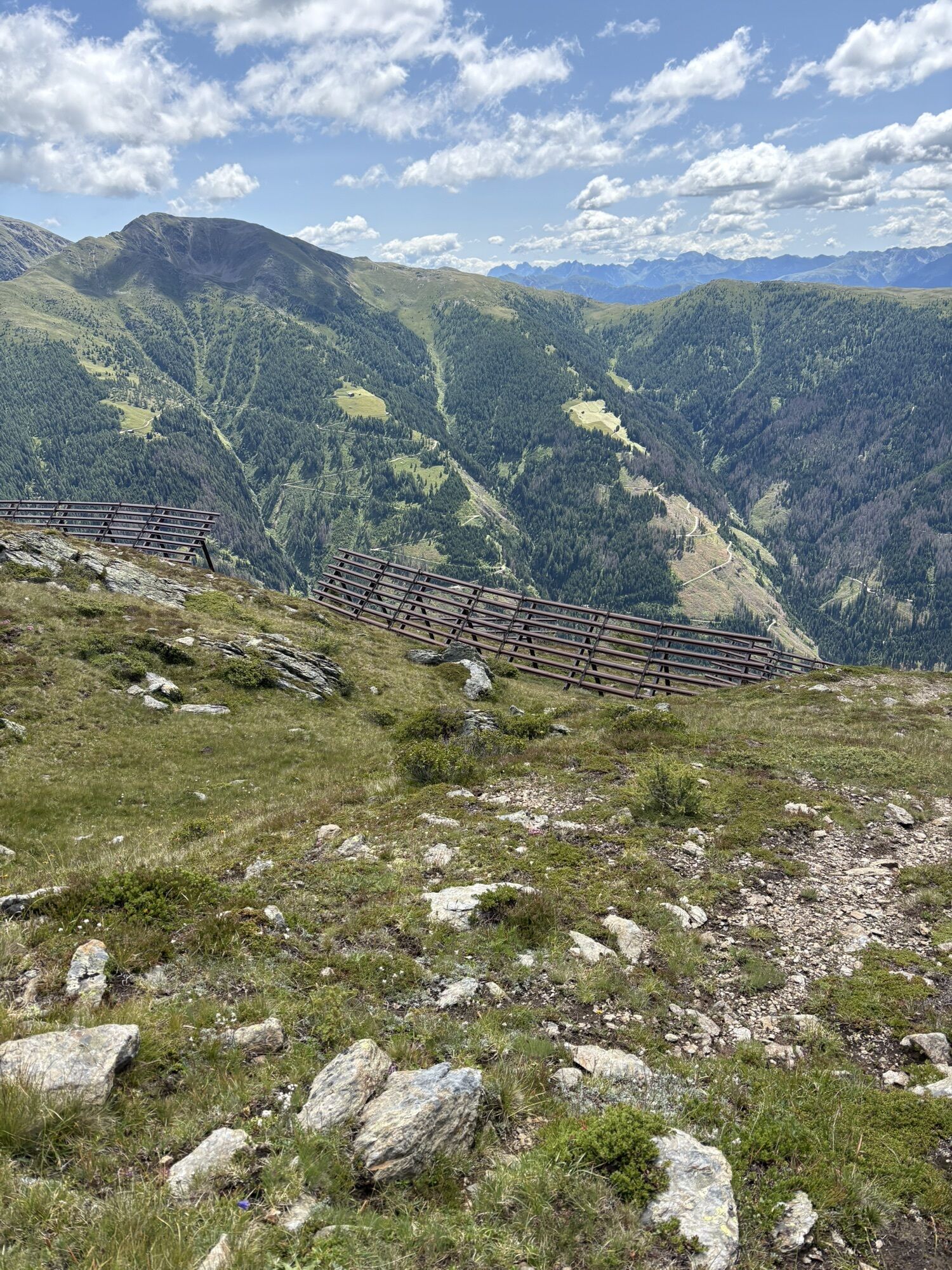
From the Oberwurzen parking lot (1,710 m), take the forest road to the Mitterwurzalm (1,888 m). From there across the mountain meadows and through sparse forest in a westerly direction to a cross (approx....
Opis
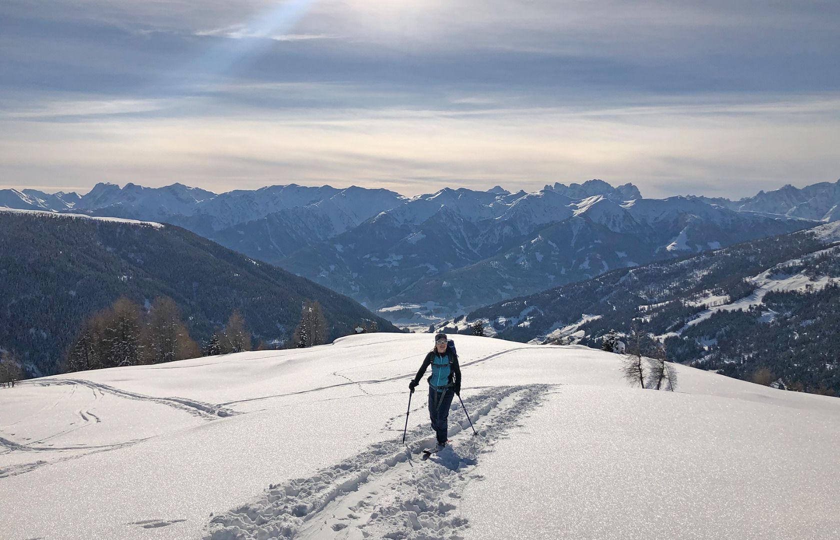
From the Oberwurzen parking lot (1,710 m), take the forest road to the Mitterwurzalm (1,888 m). From there across the mountain meadows and through sparse forest in a westerly direction to a cross (approx. 2,100 m) at the start of the broad mountain ridge. Cross this in a northerly direction, keeping left past the avalanche barrier, until the terrain becomes steeper. Where the ridge becomes steep and interspersed with rocks, turn west into flatter terrain until you reach the plateau. Across the flat plateau with subsequent steep slope to the summit.
Descent: As for the ascent.
Characteristics:
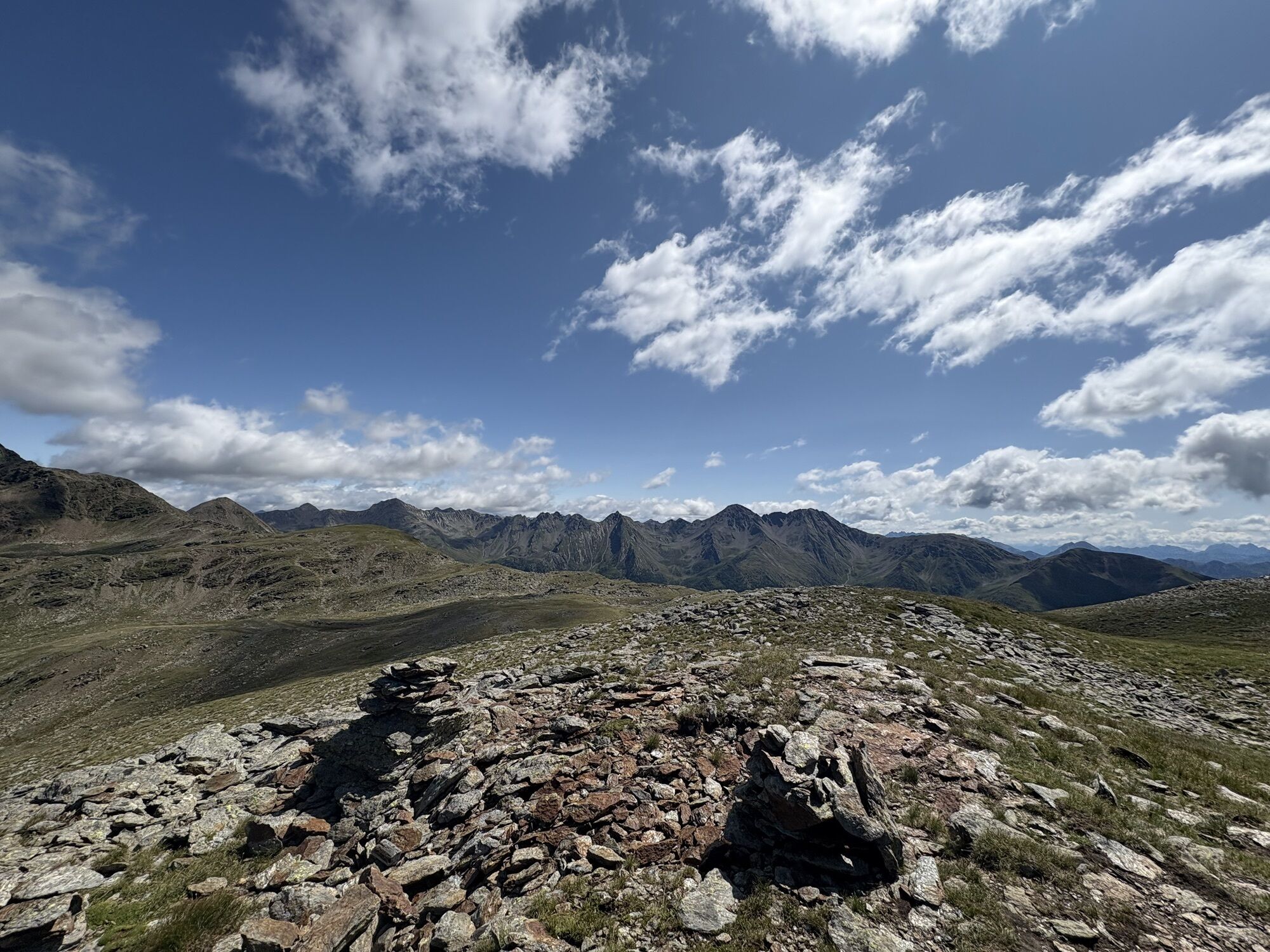
The Gabesitten is an easy tour and also suitable for beginners. At the height of winter, the forest area retains beautiful powder snow for a long time. A beautiful view of the Carnic ridge and the Dolomites awaits tourers at the summit. Difficult orientation above the tree line in poor visibility.
Descent: As for the ascent.
Characteristics:
The Gabesitten is an easy tour and also suitable for beginners. At the height of winter, the forest area retains beautiful powder snow for a long time. A beautiful view of the Carnic ridge and the Dolomites awaits tourers at the summit. Difficult orientation above the tree line in poor visibility.
Pot


Informacije o prihodu
Prihod
Mit dem Auto bis zu den Höfen "Obwurzen"
Parkirišče
Parkplatz bei den "Obwurzen" Höfe
Še ni pregledov
Pridobite vpogled Vedno v živo na mestu z več kot 9.500 spletnimi kamerami. bergfex Kot uporabnik Pro si lahko zdaj ogledate ustrezne spletne kamere za številne izlete v aplikaciji izleti iz. Tako si lahko neposredno ogledate trenutne razmere. Priljubljeni izleti v okolici
- 4.5
Kartitsch-Obstansersee Hütte
srednjaPohodništvo 13.1 km - 4.8
Von Kalkstein auf das Toblacher Pfannhorn (2.663 m) und Marchkinkele
srednjaPohodništvo 14.2 km - 4.1
Helm und Sillianer Hütte
svetlobaPohodništvo 8.17 km - 4.8
Sillianer Hütte 2.447 m
srednjaPohodništvo 16.8 km - 5.0
Obertilliach - Große Kinigat
Pohodništvo 14.7 km Kreuzspitze, 2.624 m
srednjaPohodništvo 5.27 km- 4.0
Heimkehrer Kreuz - Hornischegg - Sillianer Hütte
srednjaPohodništvo 9.43 km - 5.0
Schwarzsee
srednjaPohodništvo 7.38 km - 4.6
Van Dobbiaco naar Lienz
svetlobaKolesarjenje 50.8 km - 4.6
Brugger Alm - Ragötzel Hütte - Eggenhütte
srednjaPohodništvo 10.1 km
Pohodništvo in sledenje

Zaradi več kot 550.000 predlogov izletov, podrobnih zemljevidov in intuitivnega načrtovanja poti je aplikacija obvezna oprema za vse ljubitelje narave.

Ne zamudite ponudb in navdiha za naslednje počitnice
Naročite se na novice
Napaka
Zgodila se je napaka. Prosimo, poskusite znova.Zahvaljujemo se vam za prijavo
Vaš e-poštni naslov je bil dodan na poštni seznam.
Izleti po vsej Evropi
Avstrija Švica Nemčija Italija Slovenija Francija Nizozemska Belgija Poljska Lihtenštajn Češka Slovaška Španija Chorvátsko Bosna in Hercegovina Luksemburg Andora පෘතුගාලය අයිස්ලන්තය එක්සත් රාජධානිය අයර්ලන්තය ග්රීසිය ඇල්බේනියාව North Macedonia Malta Norway Montenegro Moldova කොසෝවො හන්ගේරියානු සමුහාණ්ඩුව San Marino රුමේනියාව එස්ටෝනියා ලැට්වියාව බෙලාරස් සයිප්රස් Lithuania Serbia බල්ගේරියාව Monaco ඩෙන්මාර්කය Sweden ෆින්ලන්තය





