
Ski tour Schleinitz 2.904m
srednja
Pridobite to turo v svoj mobilni telefon
Ski tour Schleinitz 2.904m
srednja
Smučarska tura
5.28
km
Skenirajte kodo QR in začnite navigacijo v aplikaciji bergfex.


Pohodništvo in sledenje



Ski tour Schleinitz 2.904m
srednja
Razdalja
5.28
km
Trajanje
03:50
h
Ascent
995
hm
Morska gladina
1,888 -
2,859
m

V aplikaciji si oglej pot
Brezplačno namestite aplikacijo in spremljajte pot z GPS-navigacijo in sledenjem.
bergfex zdaj uporabljaj v aplikaciji
S kamero poskeniraj QR-kodo
Ko je aplikacija nameščena, se vsebina odpre takoj. Če aplikacije še nimaš, te bo preusmerila na stran za brezplačen prenos.
Prenos skladbe
Ski tour Schleinitz 2.904m
srednja
Smučarska tura
5.28
km


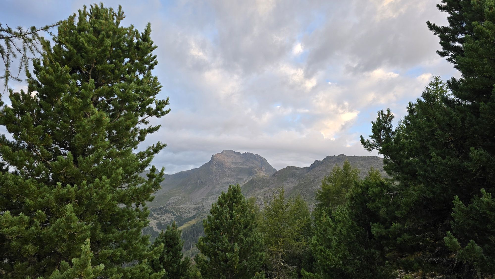
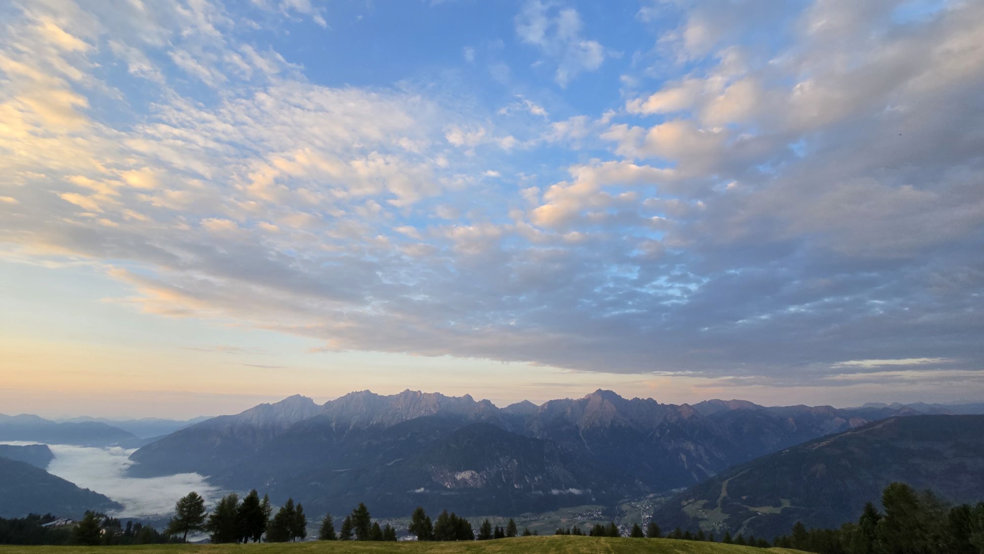
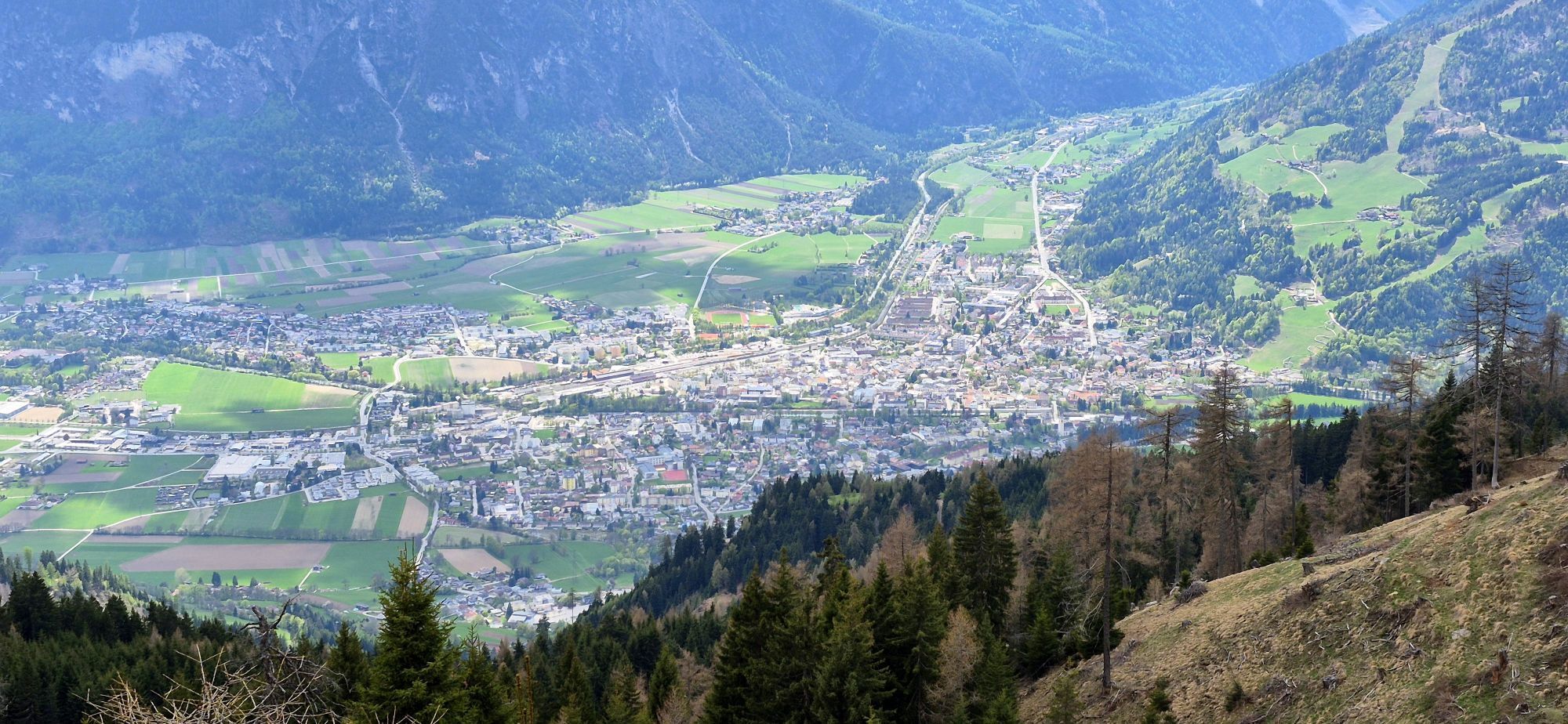


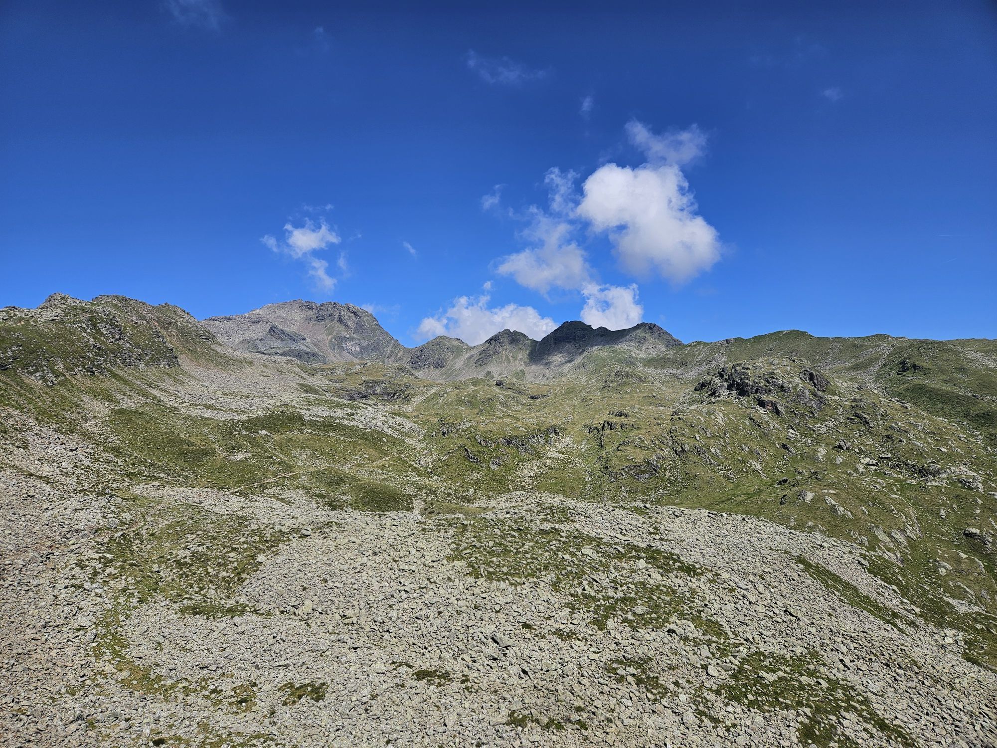
The Schober group with the Schleinitz, and its small, just before it and somewhat secondary mountain, the Rotgebele, finishes to the north of Lienz. Whereas the route to the Rotgebele is only recommended...
Opis
The Schober group with the Schleinitz, and its small, just before it and somewhat secondary mountain, the Rotgebele, finishes to the north of Lienz. Whereas the route to the Rotgebele is only recommended when there is plenty of snow, the Schleinitz can be scaled comfortably from the high ski area, where, using the ski lift we can shorten the route. The ascent to the Schleinitz proceeds north west of the highest point in the ski area (Schoberköpfl) beneath the Goisele to Neualplseen (route signposts). The first slope crossing takes us to the small Unterstandshüttl and should only be tackled when the conditions are safe. Here the track proceeds steeply down into a large basin, before we head along the accompanying Lottknöpfe into the valley and leave the lakes to the right. Proceeding around a rocky nook is a trough, up the steep east slope which as well as the summit slope is a key section of terms of technical avalanche expertise and again should only be tackled when conditions are safe. You can proceed around this first steep slope via the summer trail, however you have to reconnoitre this in the map, since it is not clear. Several hairpin bends later the terrain flattens out before we climb via the steep summit slope again heading to the cross (3 hours from the centre of Zettersfeld). Descent along the ascent track. The seriousness of this ski tour, despite its proximity to the ski area, is not to be underestimated.
Additional ski tour tips can be obtained in the ski tour guides by Thomas Mariacher. These are available here: http://www.grafikzloebl.at/verlag/buecher/
Pot
Neualplseen
(2,447 m)
Koridor/teren
3.3 km
Schleinitz
(2,904 m)
Vrh
5.0 km
Pot
Ski tour Schleinitz 2.904m
srednja
Smučarska tura
5.28
km
Neualplseen
(2,447 m)
Koridor/teren
3.3 km
Schleinitz
(2,904 m)
Vrh
5.0 km


Oprema
Basic equipment for ski tours includes touring skis with skins, touring poles, suitable touring ski boots and functional clothing based on the layering principle including sufficient spare clothes. Keep your backpack weight as low as possible. Essential in open terrain is complete avalanche emergency equipment (transceiver, shovel, probe) as well as a first aid kit, a bivy sack and a charged mobile phone. Sufficient fluids and food should also be carried. An avalanche airbag backpack can further increase the chances of survival in an emergency.
This information serves as a guide and does not claim to be exhaustive. Equipment must always be adapted to the tour destination, weather conditions, season, natural hazards, environmental influences and personal needs.
This information serves as a guide and does not claim to be exhaustive. Equipment must always be adapted to the tour destination, weather conditions, season, natural hazards, environmental influences and personal needs.
Informacije o prihodu
Prihod
Coming from Lienz by car via Thurn to the Zettersfeld or take the monocable gondola to the Zettersfeld and walk from there to the Rottmann Alm.
Parkirišče
Coming from Lienz by car via Thurn to the Zettersfeld or take the monocable gondola to the Zettersfeld and walk from there to the Rottmann Alm.
Parkplatz Zettersfeld/Zentrum
Parkplatz Zettersfeld/Zentrum
Še ni pregledov
Spletne kamere s turneje

Vse spletne kamere na zemljevidu
Brezplačno namesti aplikacijo in primerjaj slike v živo z več lokacij, preden se odpraviš na pot.
bergfex zdaj uporabljaj v aplikaciji
S kamero poskeniraj QR-kodo
Ko je aplikacija nameščena, se vsebina odpre takoj. Če aplikacije še nimaš, te bo preusmerila na stran za brezplačen prenos.
Priljubljeni izleti v okolici
-
4.9
Wangennitzsee Hütte
srednjaPohodništvo 3.80 km -
4.7
Karlsbader Hütte über Rudl-Eller-Weg
težkoPohodništvo 5.10 km -
5.0
Ederplan round from the parking lot Stronach
srednjaPohodništvo 7.19 km -
4.9
Astental: Mohar, Moharkreuz
srednjaPohodništvo 9 km -
4.8
Lienzer Dolomiten-Lasertörl
srednjaPohodništvo 13.2 km -
4.7
Glödis 3206m: PP Seichenbrunn, Lienzer Hütte, Glödis KS A/B
težkoVisokogorska tura 16.1 km -
4.7
Karlsbader Hütte
srednjaMountainbike 13.4 km -
4.5
Böses Weibele, 3119m, Lucknerhaus
težkoPohodništvo 13.8 km -
4.8
Lienzer Hütte
svetlobaPohodništvo 7.39 km -
4.8
Klammbrückl - Kerschbaumeralm - Spitzkofel
težkoPohodništvo 8.71 km
Pohodništvo in sledenje

Zaradi več kot 550.000 predlogov izletov, podrobnih zemljevidov in intuitivnega načrtovanja poti je aplikacija obvezna oprema za vse ljubitelje narave.

Ne zamudite ponudb in navdiha za naslednje počitnice
Naročite se na novice
Napaka
Zgodila se je napaka. Prosimo, poskusite znova.
Zahvaljujemo se vam za prijavo
Vaš e-poštni naslov je bil dodan na poštni seznam.
Izleti po vsej Evropi
Avstrija
Švica
Nemčija
Italija
Slovenija
Francija
Nizozemska
Belgija
Poljska
Lihtenštajn
Češka
Slovaška
Španija
Chorvátsko
Bosna in Hercegovina
Luksemburg
Andora
පෘතුගාලය
අයිස්ලන්තය
එක්සත් රාජධානිය
අයර්ලන්තය
ග්රීසිය
ඇල්බේනියාව
North Macedonia
Malta
Norway
Montenegro
Moldova
කොසෝවො
හන්ගේරියානු සමුහාණ්ඩුව
San Marino
රුමේනියාව
එස්ටෝනියා
ලැට්වියාව
බෙලාරස්
සයිප්රස්
Lithuania
Serbia
බල්ගේරියාව
Monaco
ඩෙන්මාර්කය
Sweden
ෆින්ලන්තය


