


Venter Ski Route - Ötztal Classic
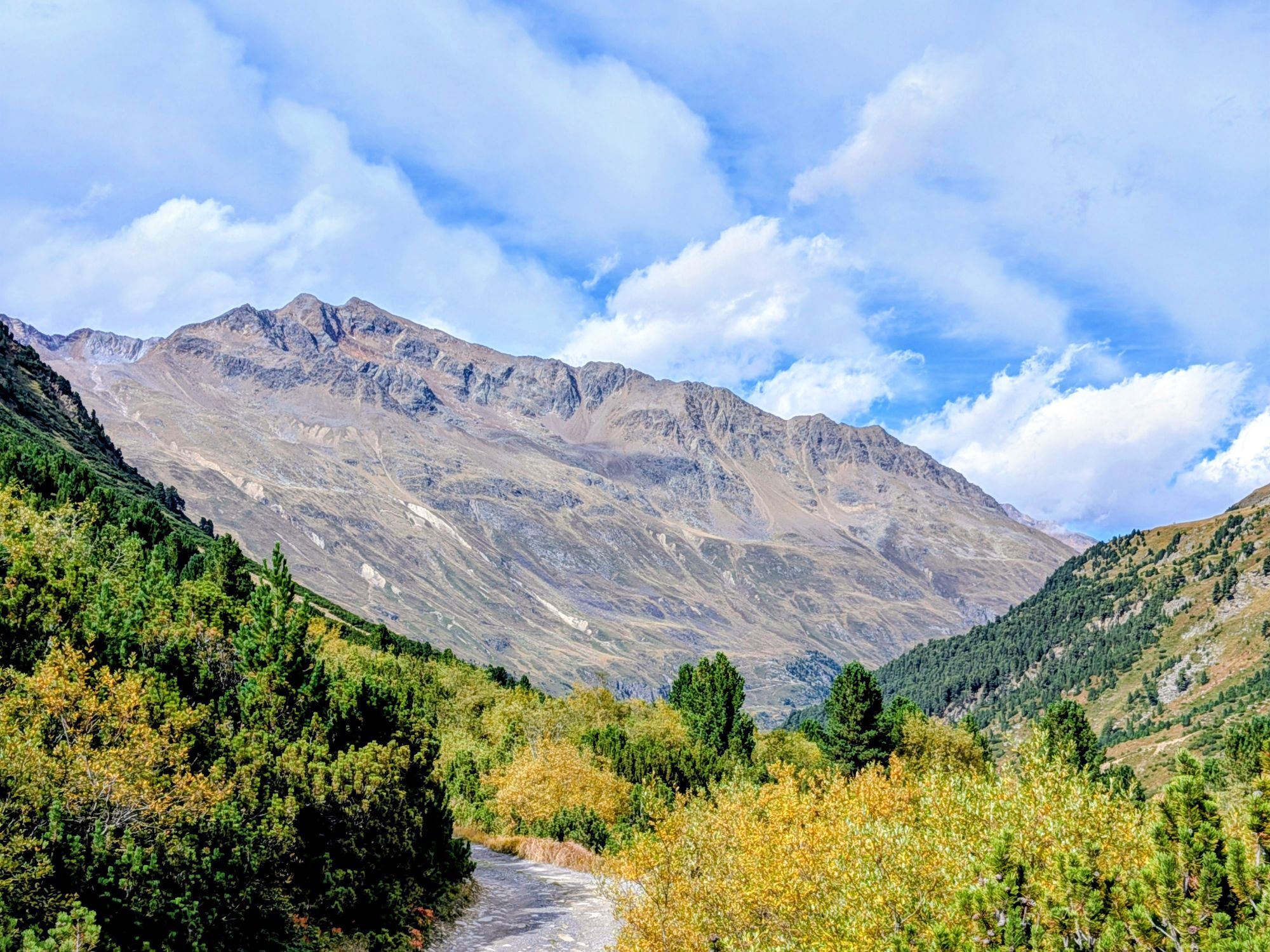
Fotografije naših uporabnikov
-
 © Christian HebenstreitUstvarjeno na 09.08.2025
 -

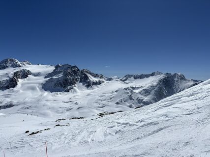
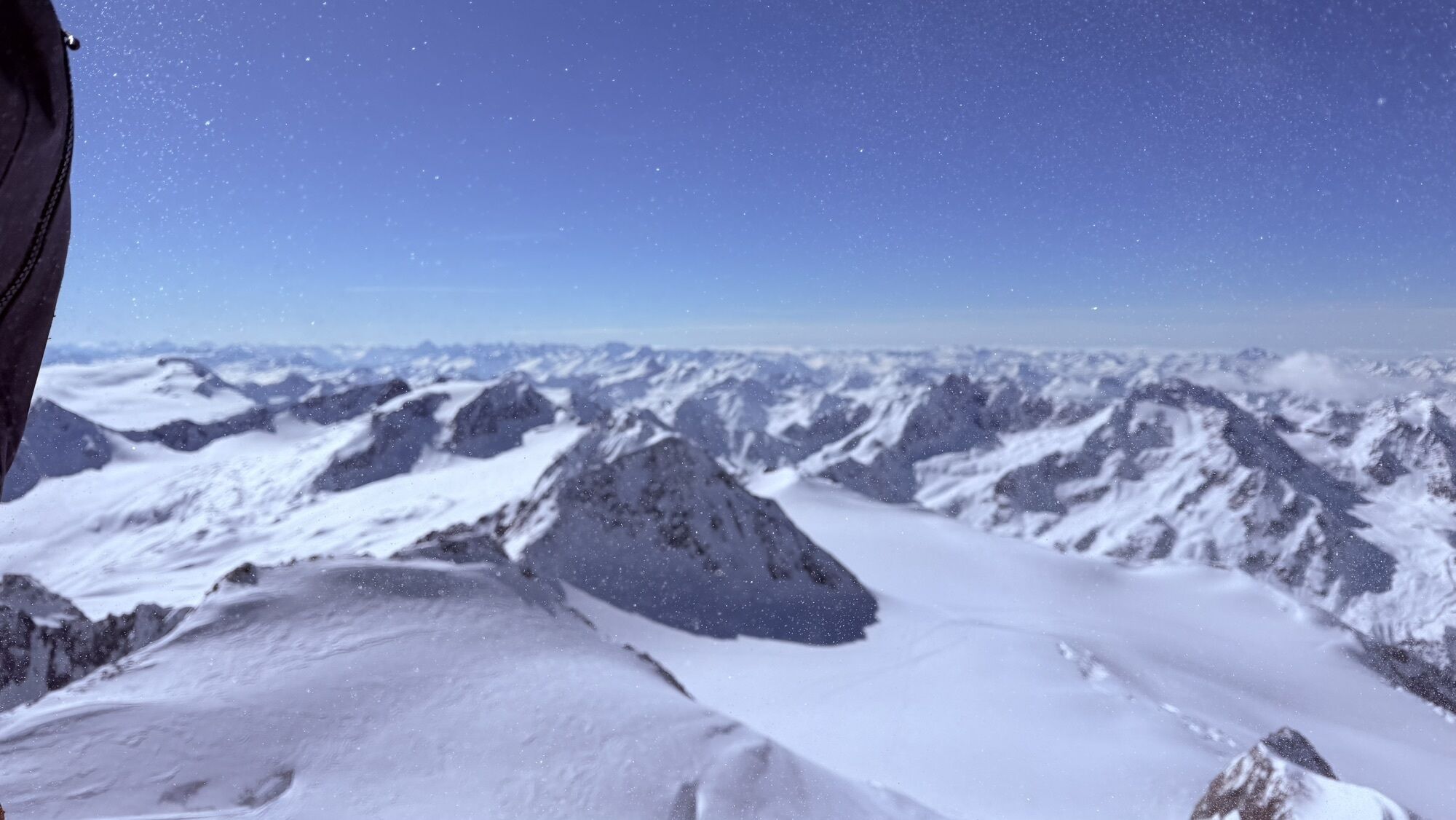
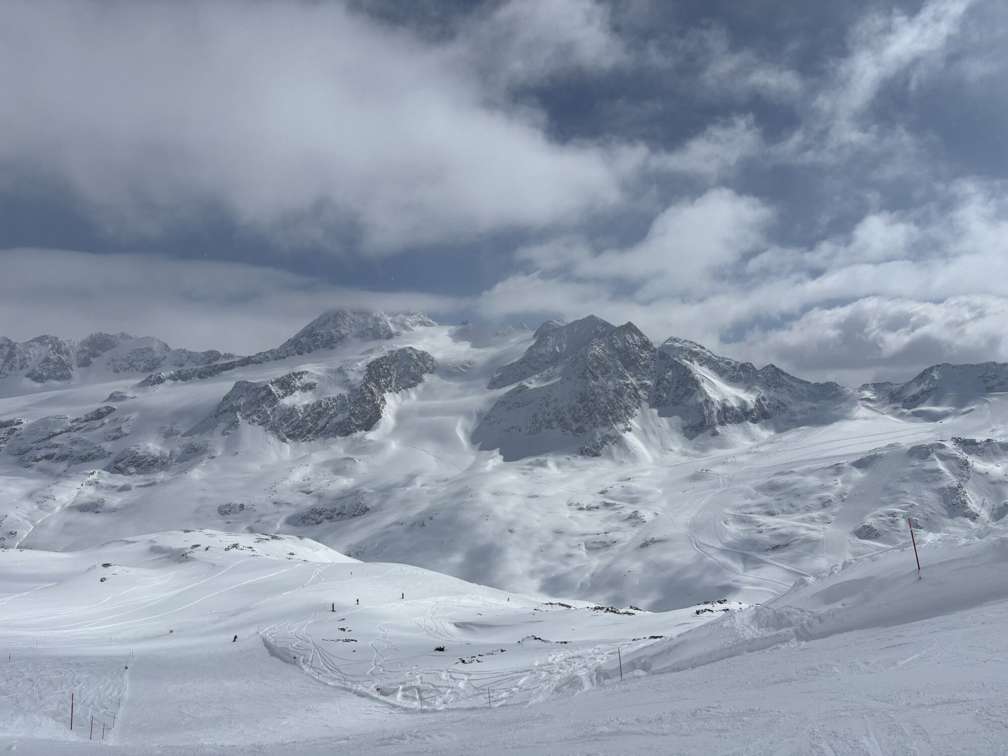
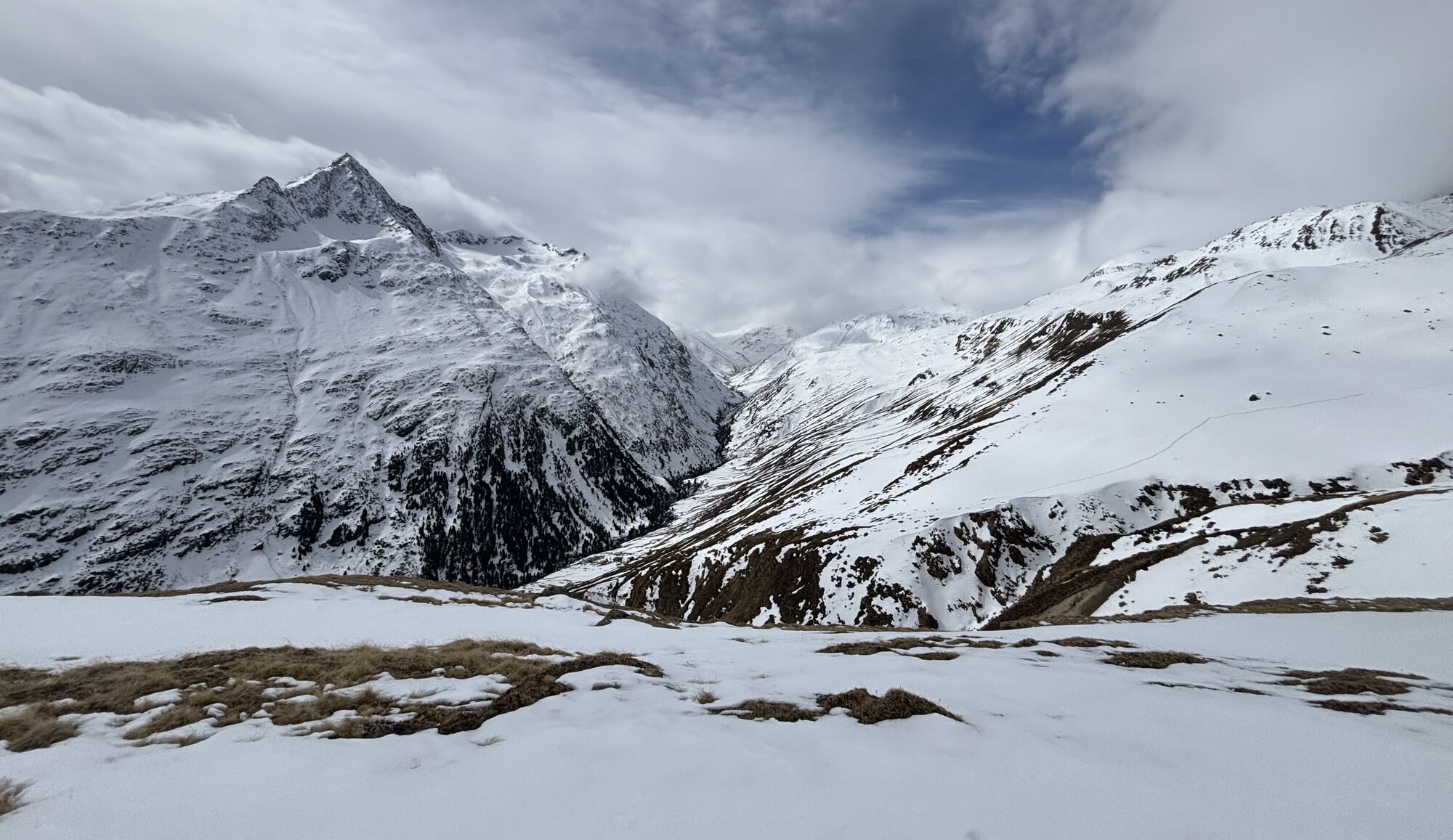
 © Peter NinauszUstvarjeno na 08.04.2026
 -
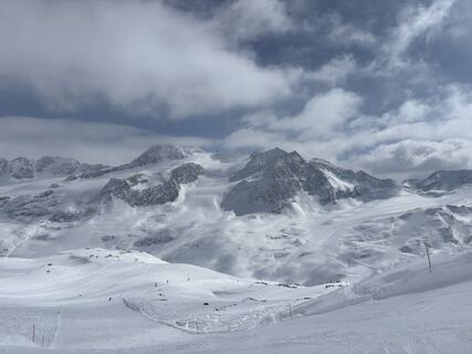
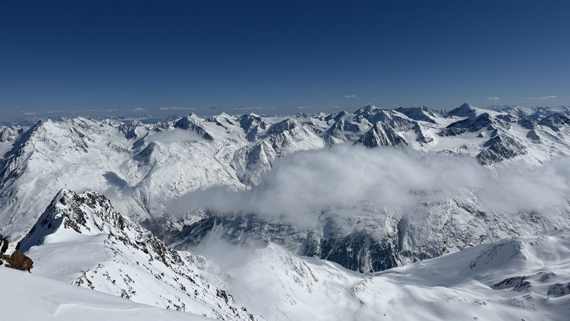
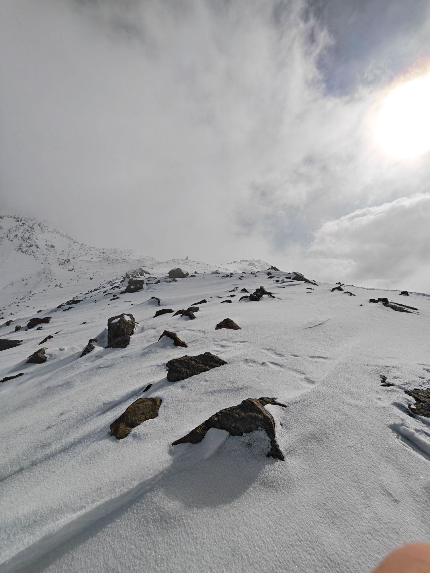
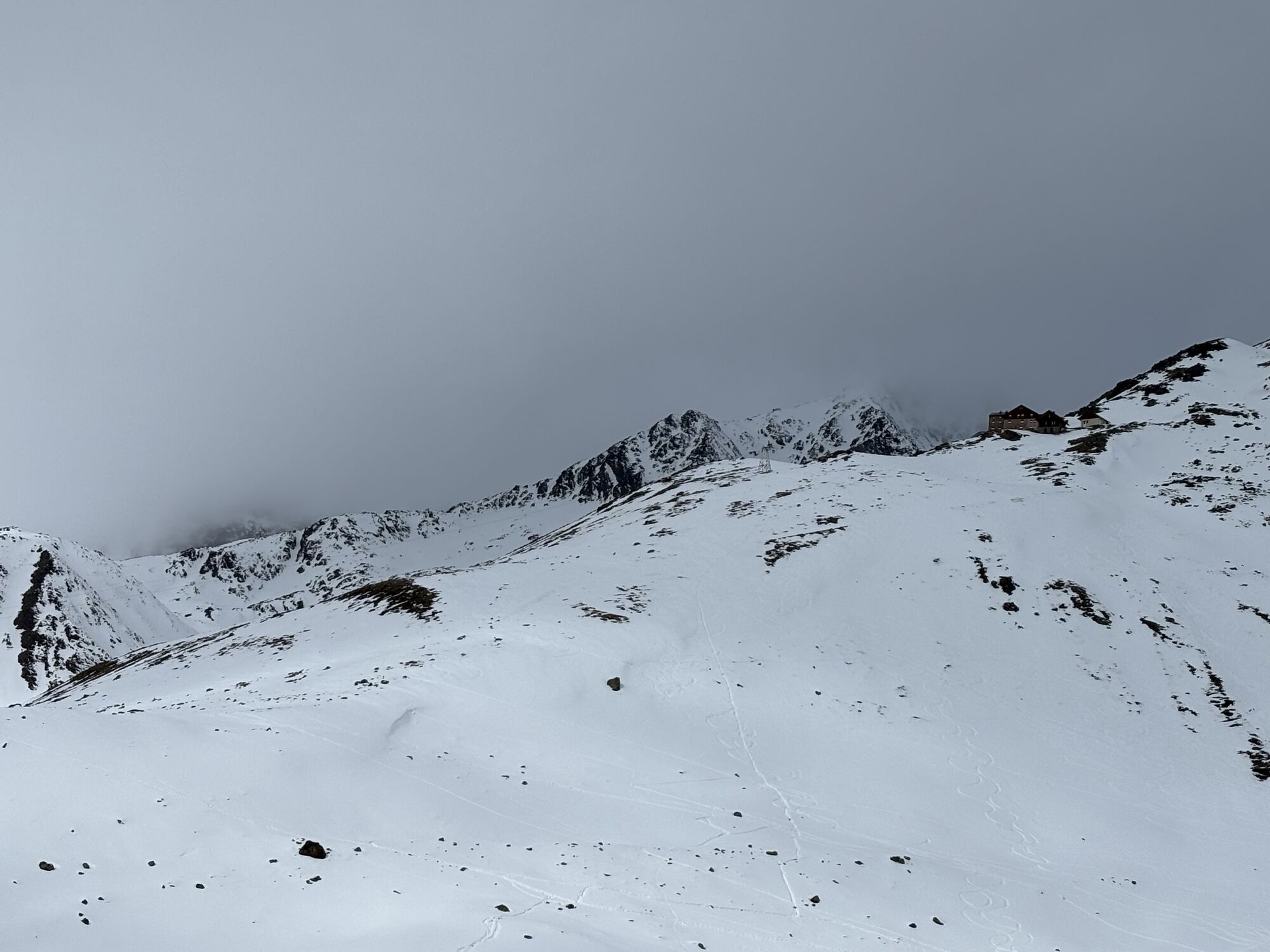
 © Peter NinauszUstvarjeno na 08.04.2026
 -
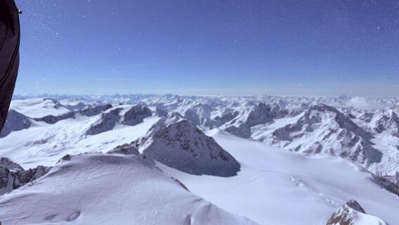
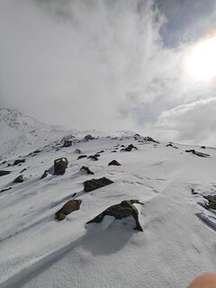
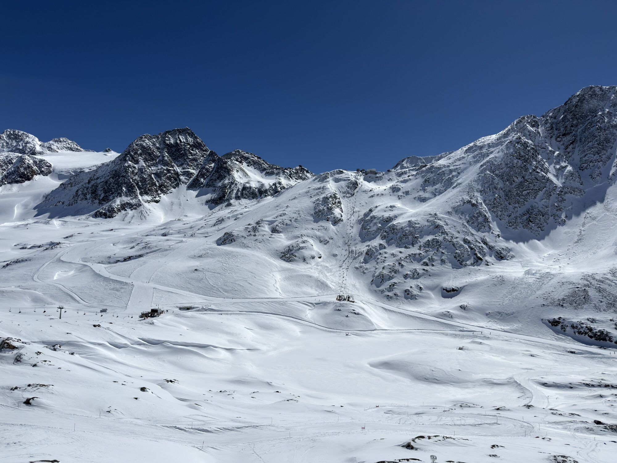
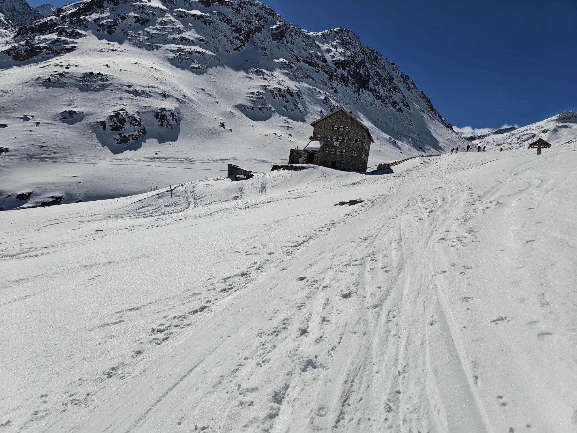
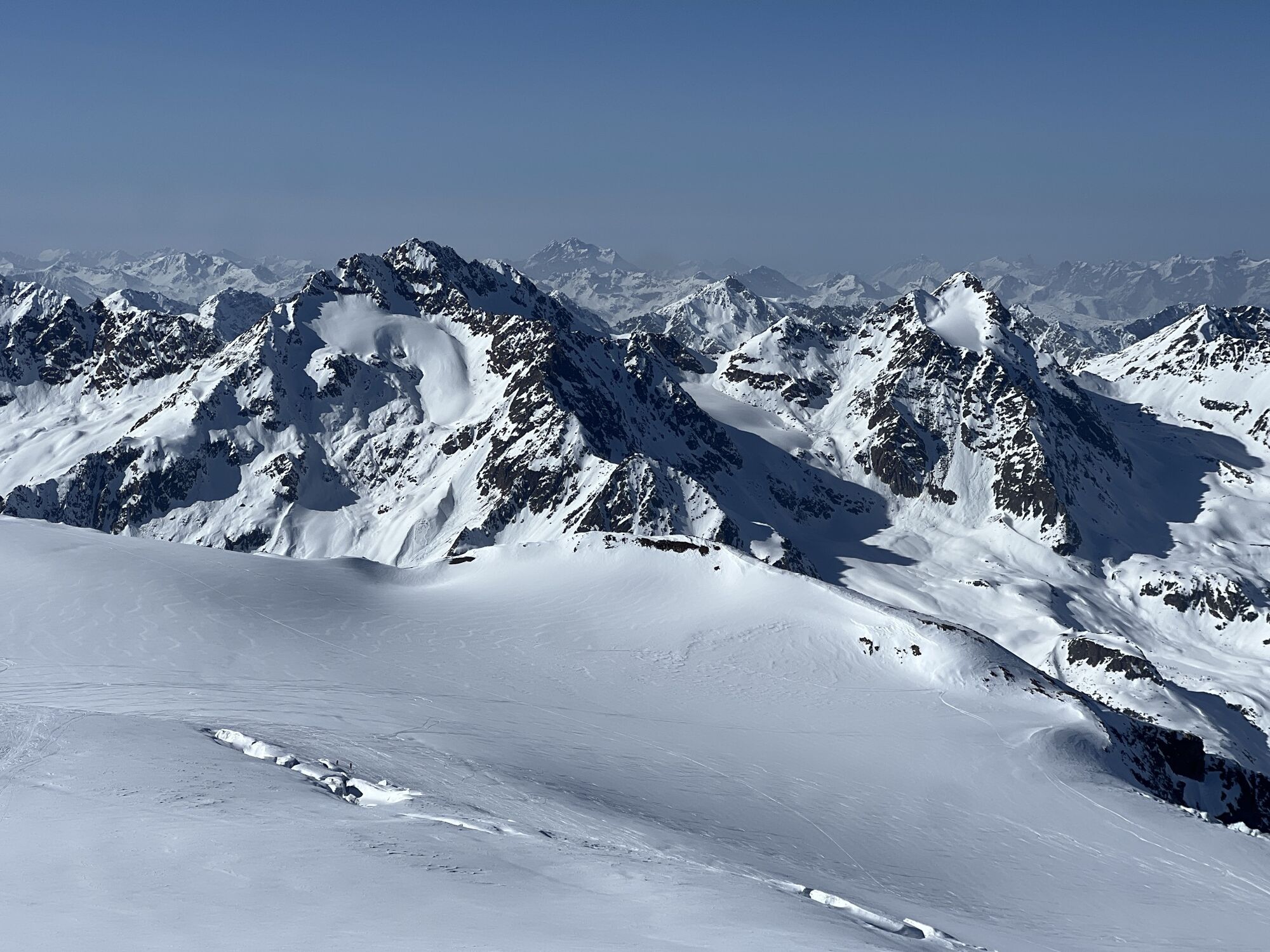
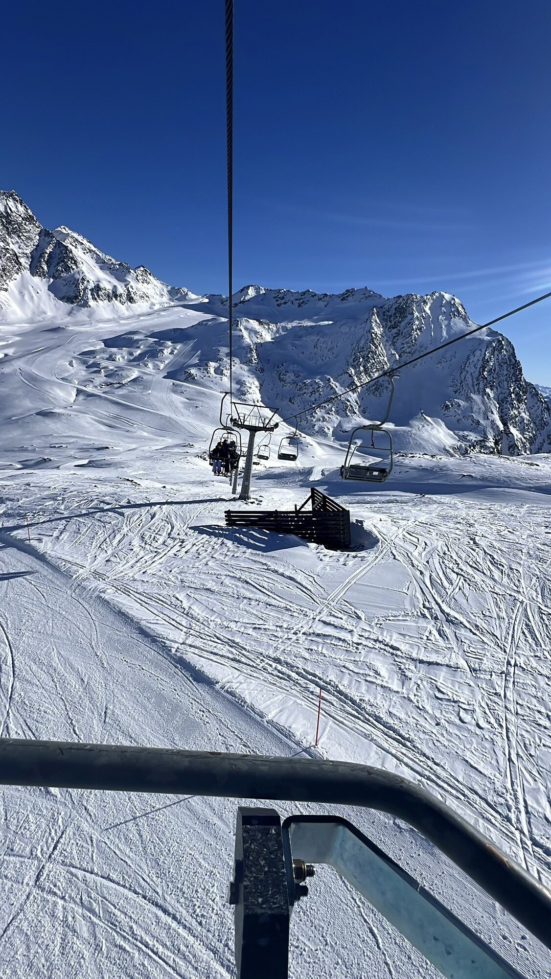
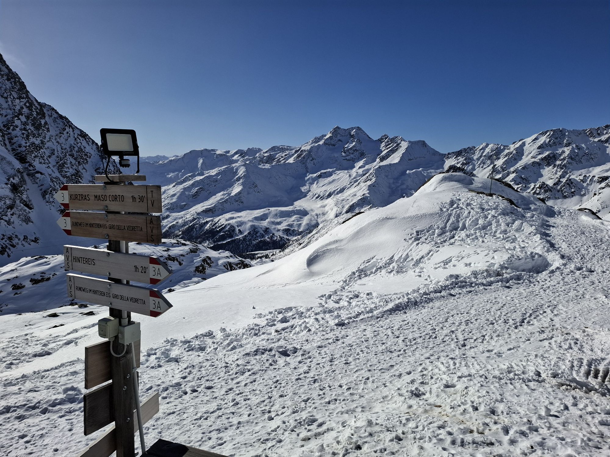
 © Peter NinauszUstvarjeno na 08.04.2026
 -
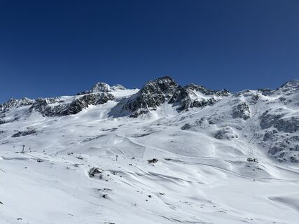
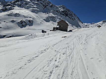
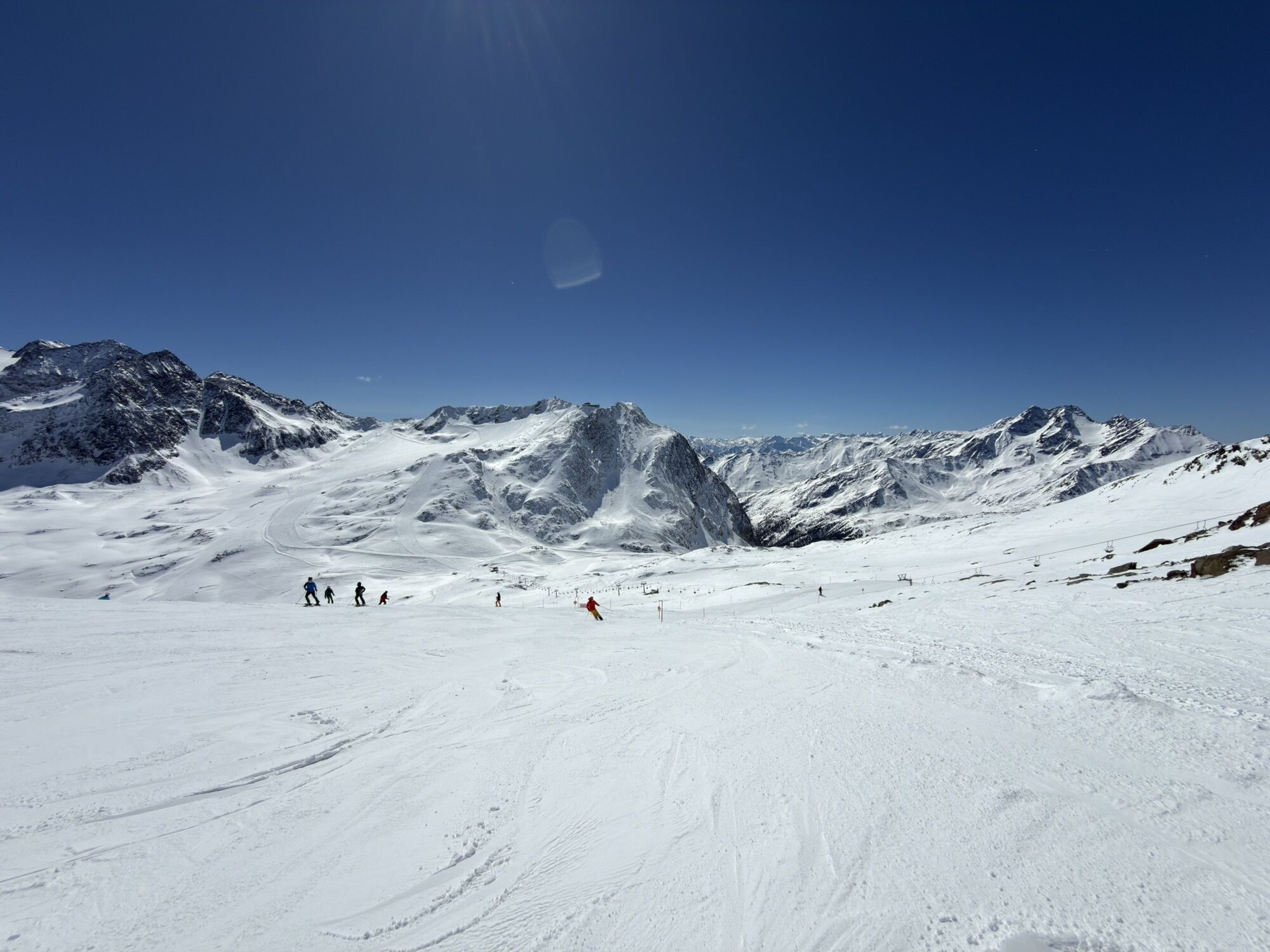
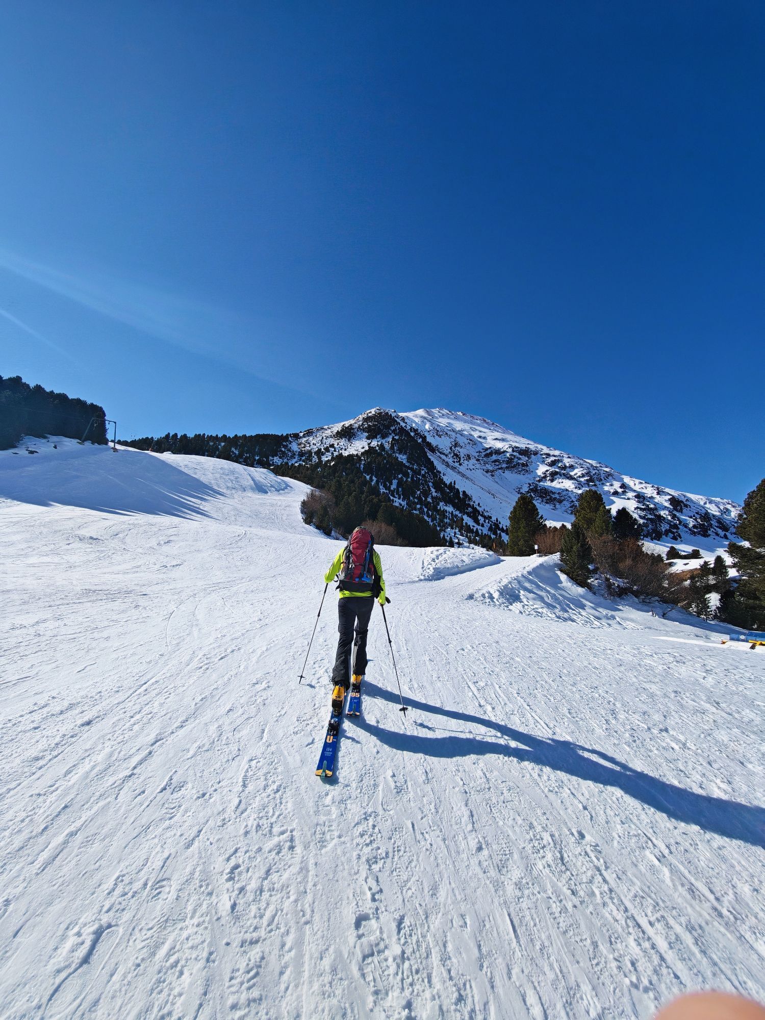
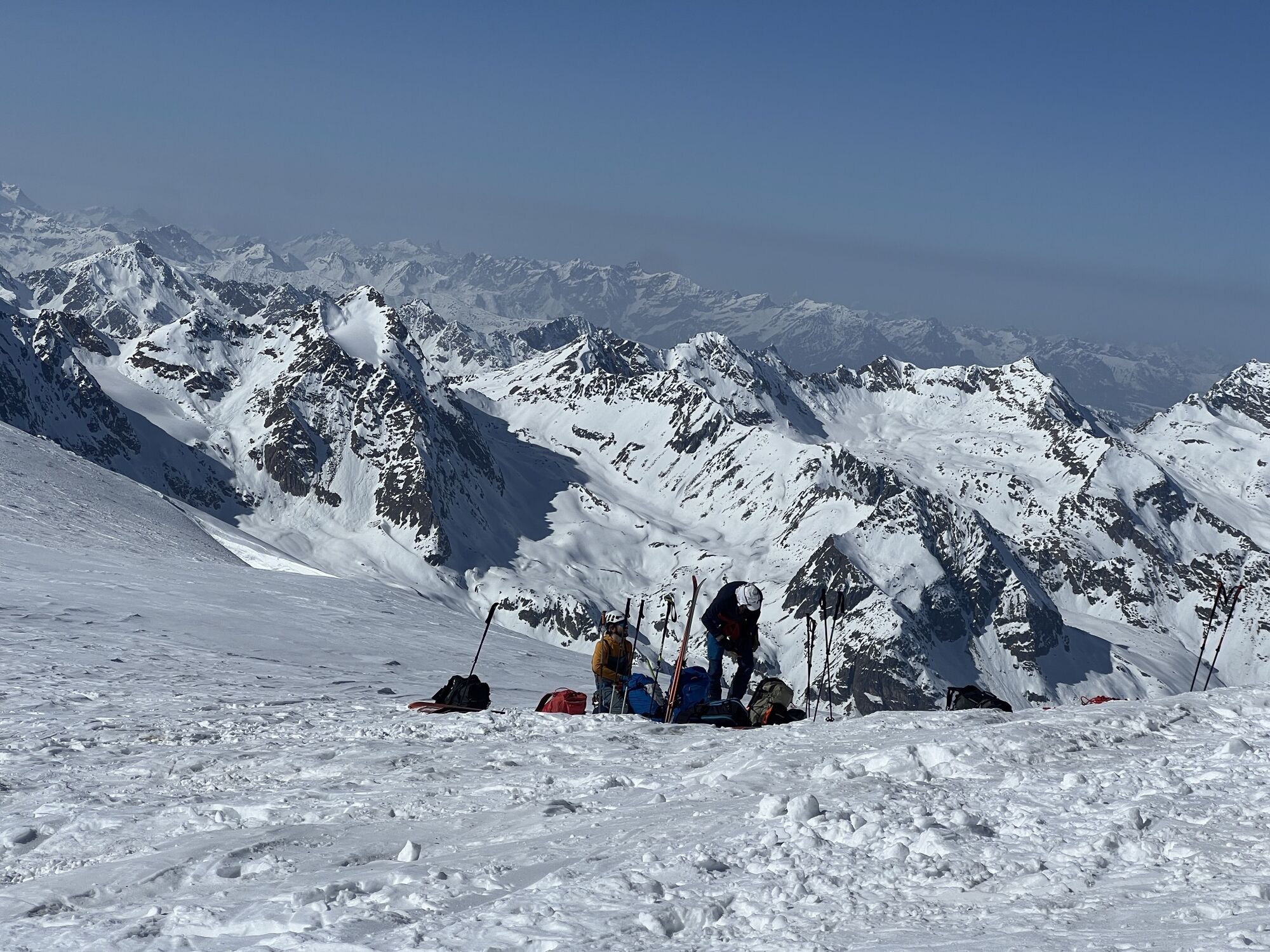
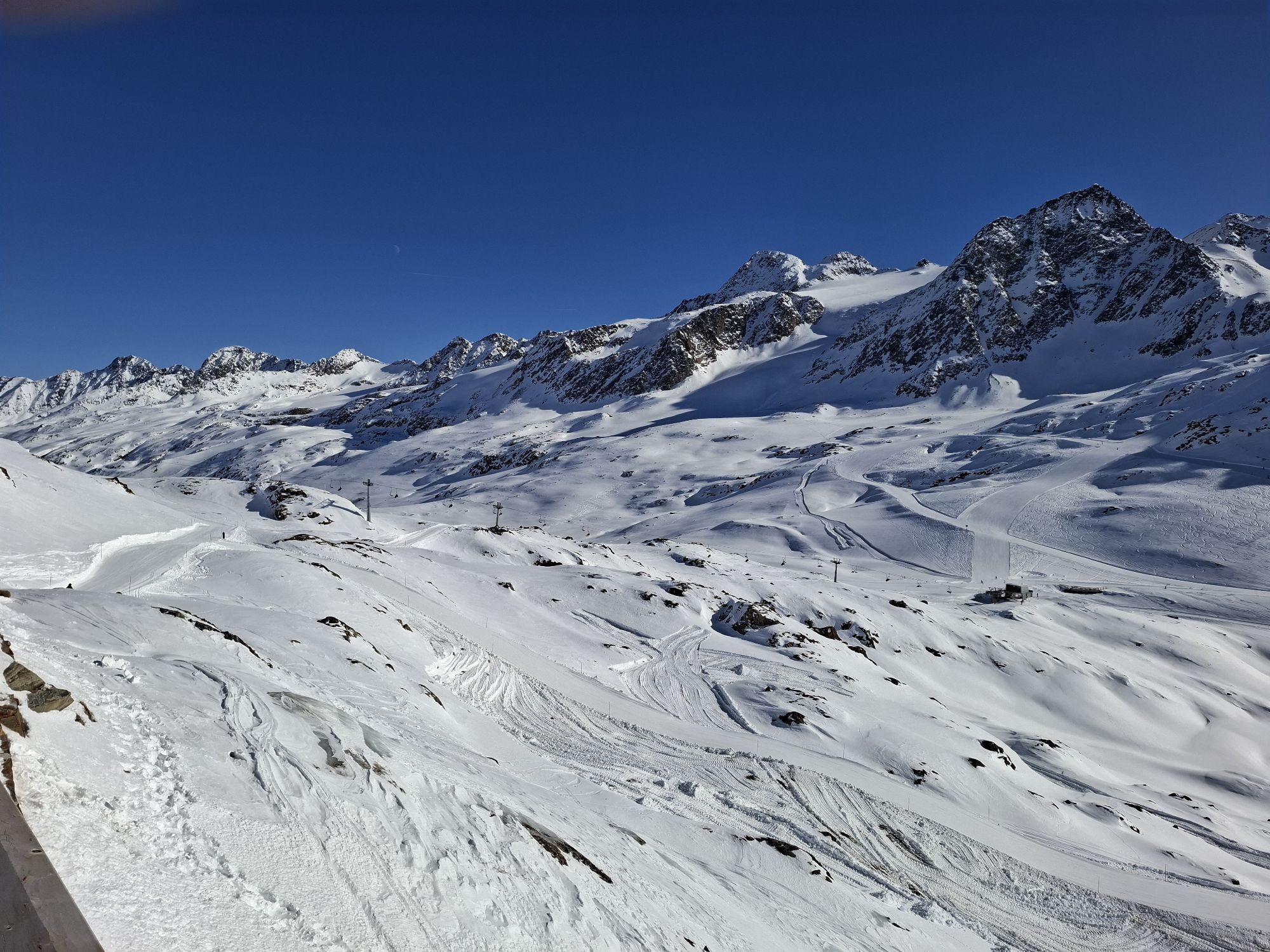
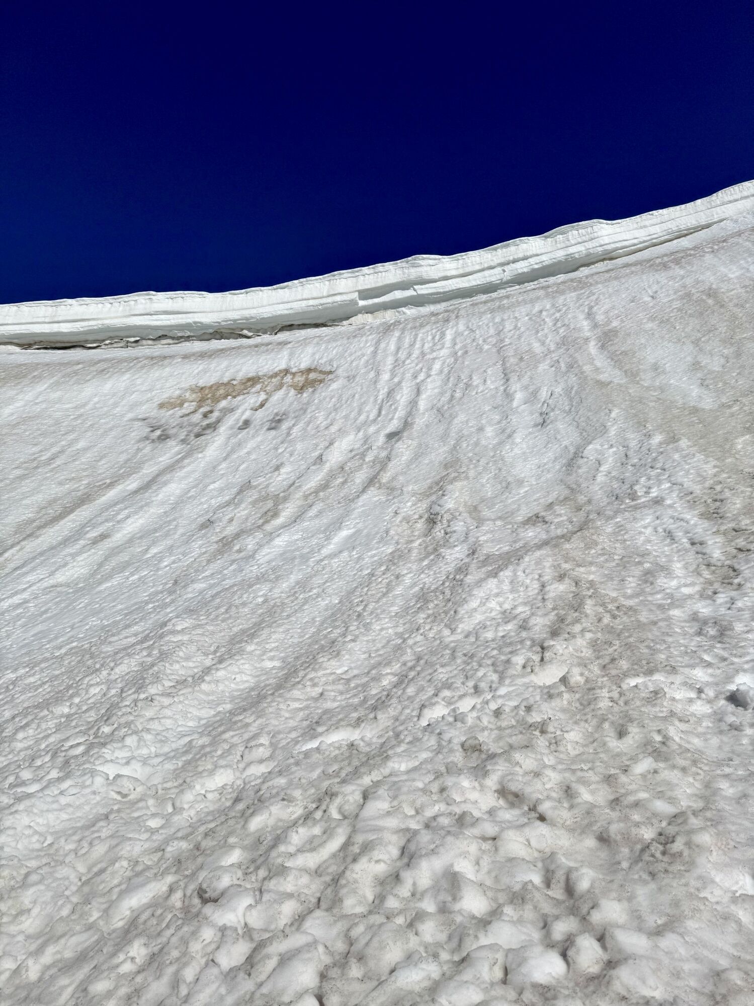
 © Peter NinauszUstvarjeno na 08.04.2026
 -
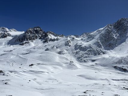
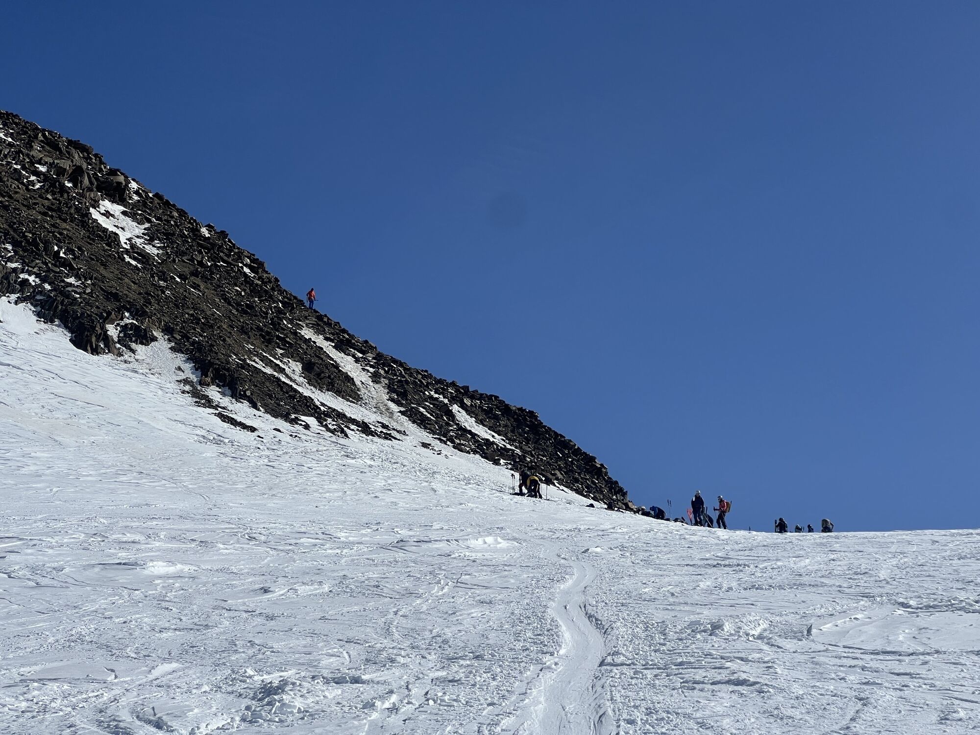
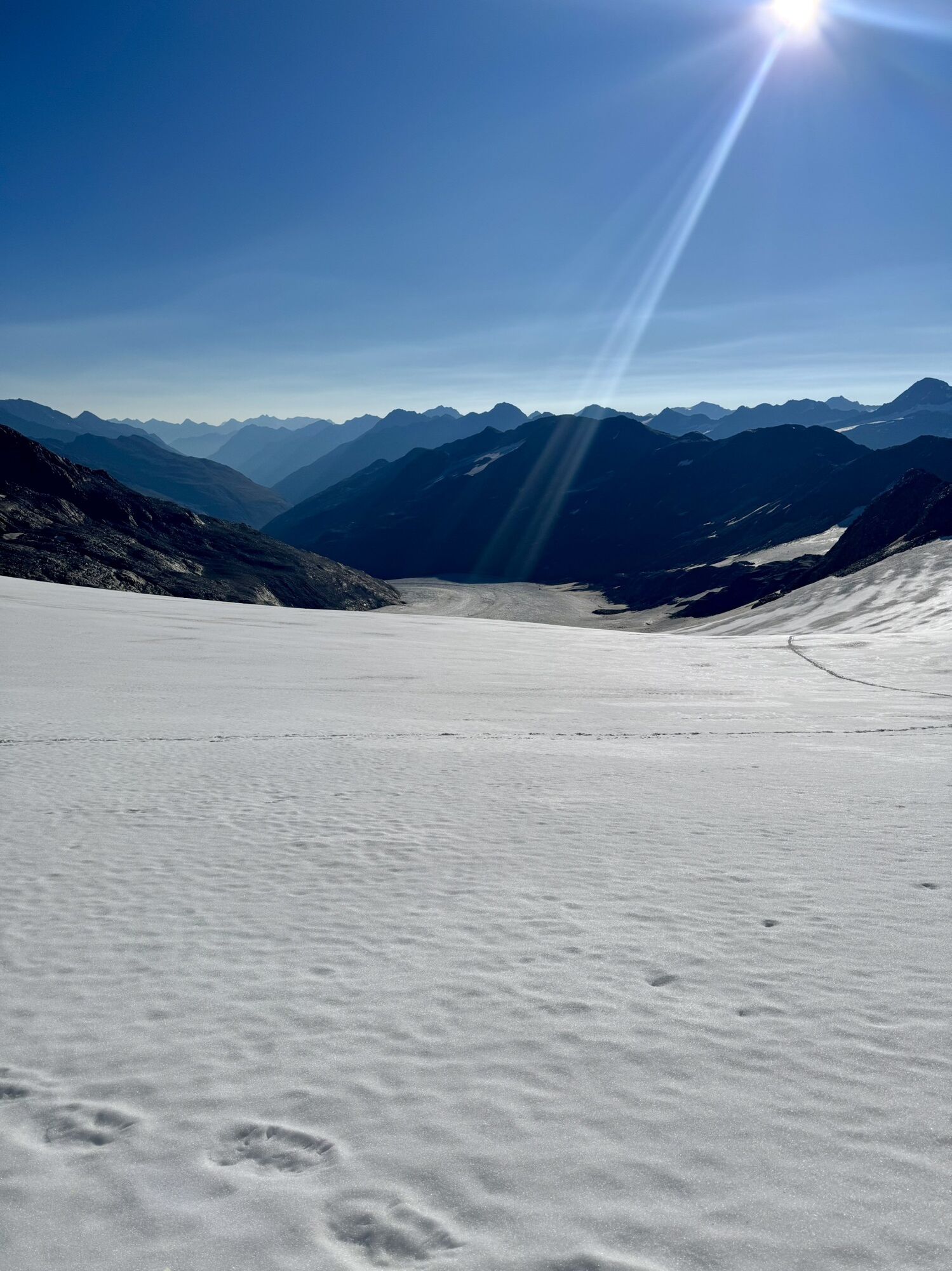
 © Peter NinauszUstvarjeno na 08.04.2026
 -
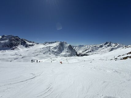
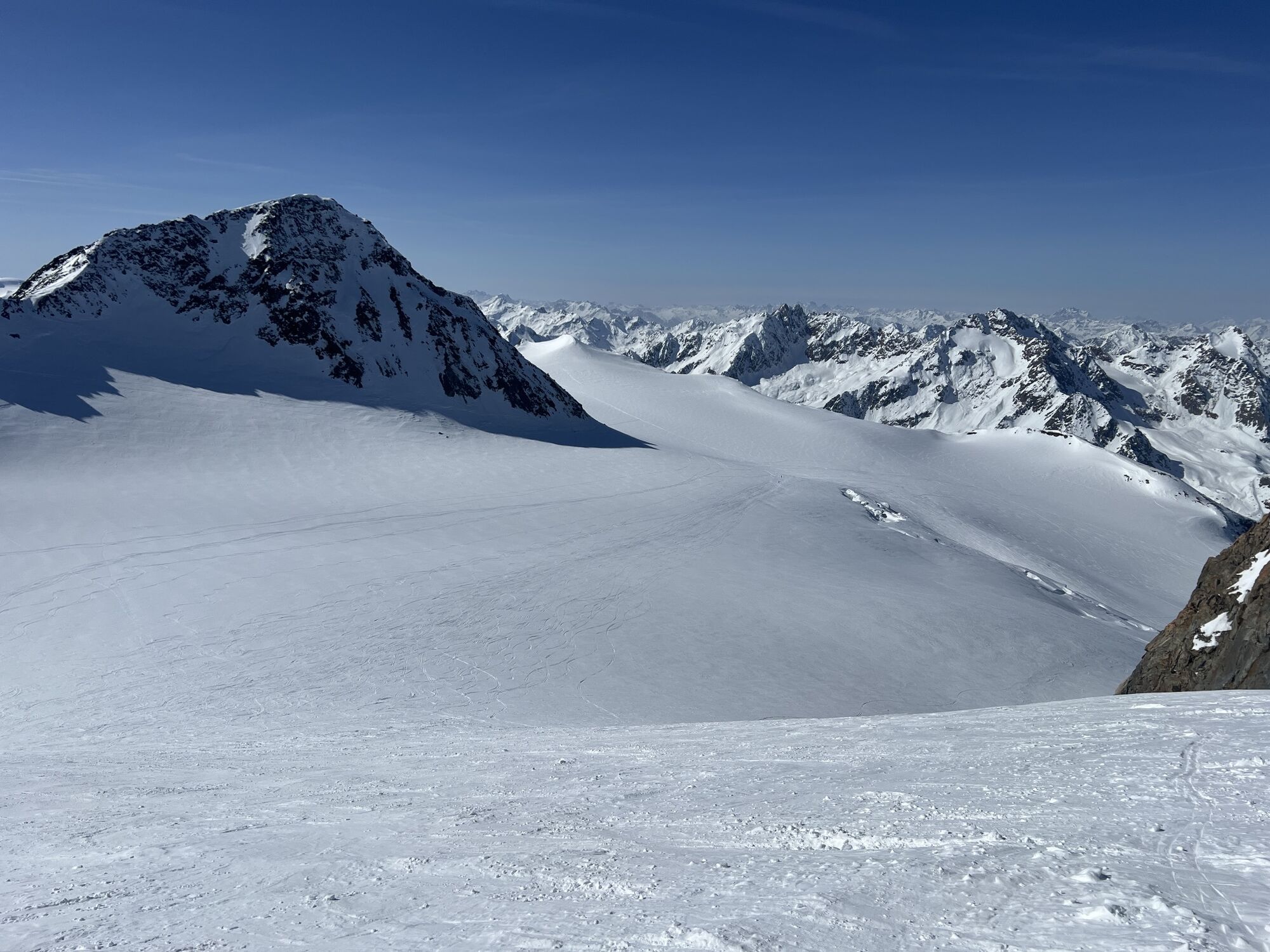
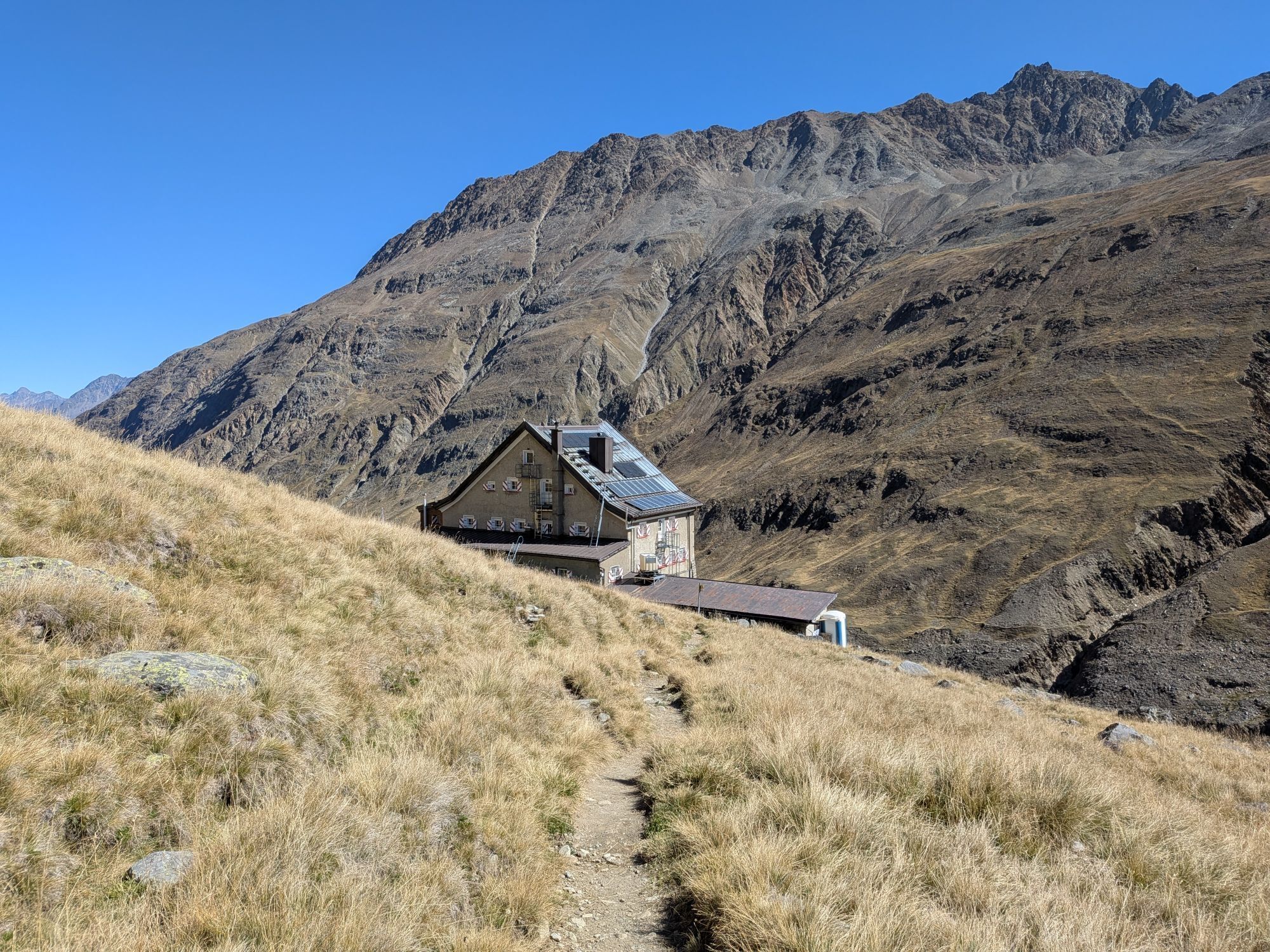
 © Peter NinauszUstvarjeno na 08.04.2026
 -
 © Peter NinauszUstvarjeno na 08.04.2026
 -
 © Peter NinauszUstvarjeno na 08.04.2026
 -
 © Leonardo InnocentiUstvarjeno na 05.04.2026
 -
 © Jiřina BrhelováUstvarjeno na 03.04.2026
 -
 © Jiřina BrhelováUstvarjeno na 03.04.2026
 -
 © Jiřina BrhelováUstvarjeno na 03.04.2026
 -
 © Sebastian WojnowskiUstvarjeno na 03.04.2026
 -
 © Sebastian WojnowskiUstvarjeno na 03.04.2026
 -
 © Sebastian WojnowskiUstvarjeno na 03.04.2026
 -
 © Sebastian WojnowskiUstvarjeno na 03.04.2026
 -
 © Borys SkórkaUstvarjeno na 23.03.2026
 -
 © Florian OffergeltUstvarjeno na 13.03.2026
 -
 © Florian OffergeltUstvarjeno na 13.03.2026
 -
 © Florian OffergeltUstvarjeno na 13.03.2026
 -
 © Florian OffergeltUstvarjeno na 13.03.2026
 -
 © Florian OffergeltUstvarjeno na 13.03.2026
 -
 © Wolfgang HammerUstvarjeno na 07.03.2026
 -
 © Wolfgang HammerUstvarjeno na 07.03.2026
 -
 © Wolfgang HammerUstvarjeno na 07.03.2026
 -
 © Wolfgang HammerUstvarjeno na 07.03.2026
 -
 © Wolfgang HammerUstvarjeno na 07.03.2026
 -
 © Wolfgang HammerUstvarjeno na 07.03.2026
 -
 © NozzoUstvarjeno na 22.04.2025
 -
 © NozzoUstvarjeno na 22.04.2025
 -
 © Gian Mario SimonettiUstvarjeno na 02.04.2025
 -

 © Marion FalknerUstvarjeno na 22.03.2025
 -
 © Marion FalknerUstvarjeno na 22.03.2025
 -
 © Alexander KhodikovUstvarjeno na 15.02.2025
 -

 © HJBUstvarjeno na 05.02.2025
 -
 © HJBUstvarjeno na 05.02.2025
 -
 © KJohnyUstvarjeno na 16.01.2025
 -
 © Christian HebenstreitUstvarjeno na 09.08.2025
 -
 © Christian HebenstreitUstvarjeno na 09.08.2025
 -
 © Christian HebenstreitUstvarjeno na 09.08.2025
 -
 © Stefan SchützUstvarjeno na 25.06.2024
 -
 © Sabrina HackelUstvarjeno na 20.09.2025
 -
 © Sabrina HackelUstvarjeno na 18.09.2025
 -
 © Sabrina HackelUstvarjeno na 16.09.2025
 -
 © Sabrina HackelUstvarjeno na 16.09.2025
 -
 © Sabrina HackelUstvarjeno na 16.09.2025
 -
 © Sabrina HackelUstvarjeno na 16.09.2025
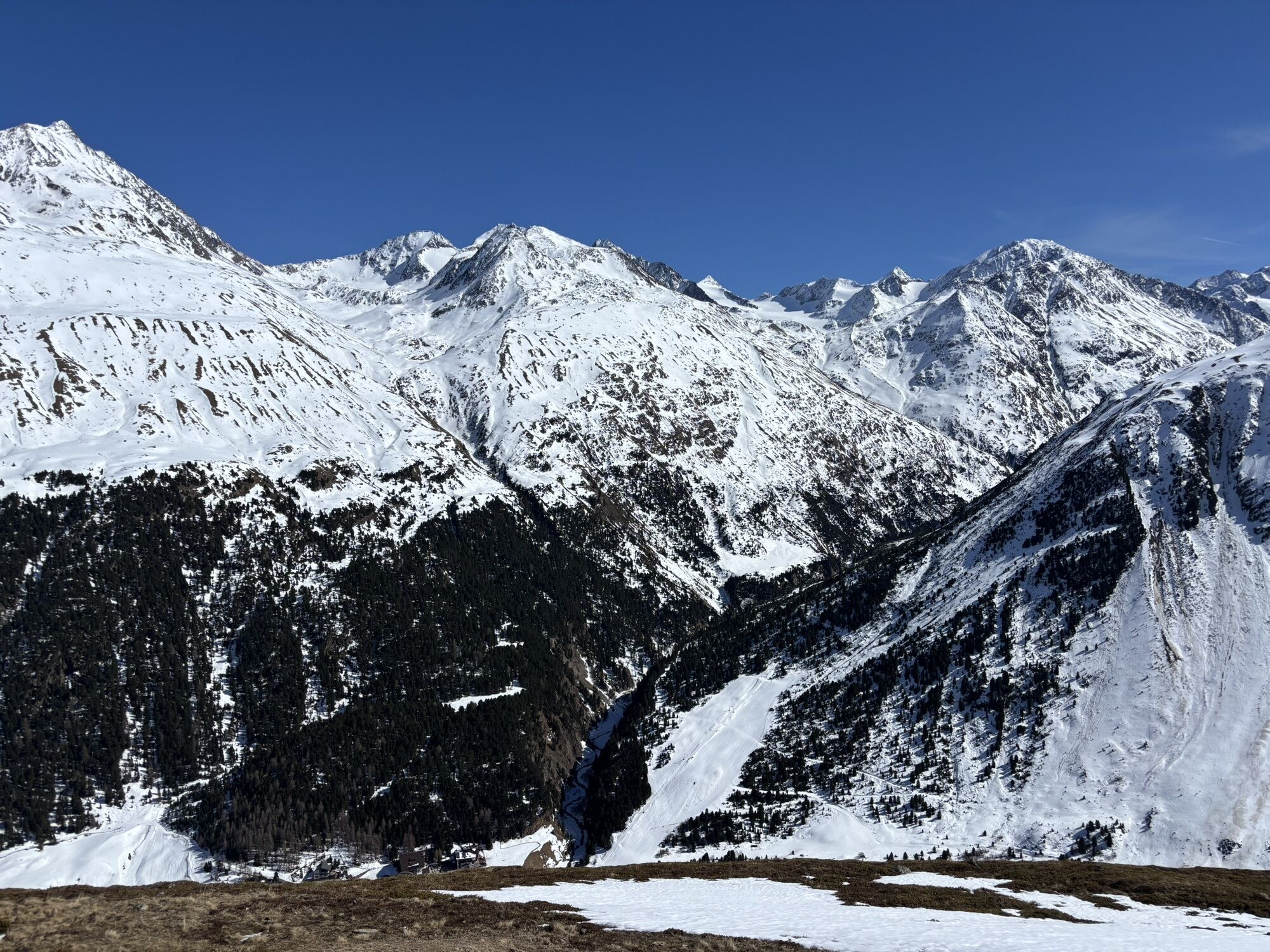
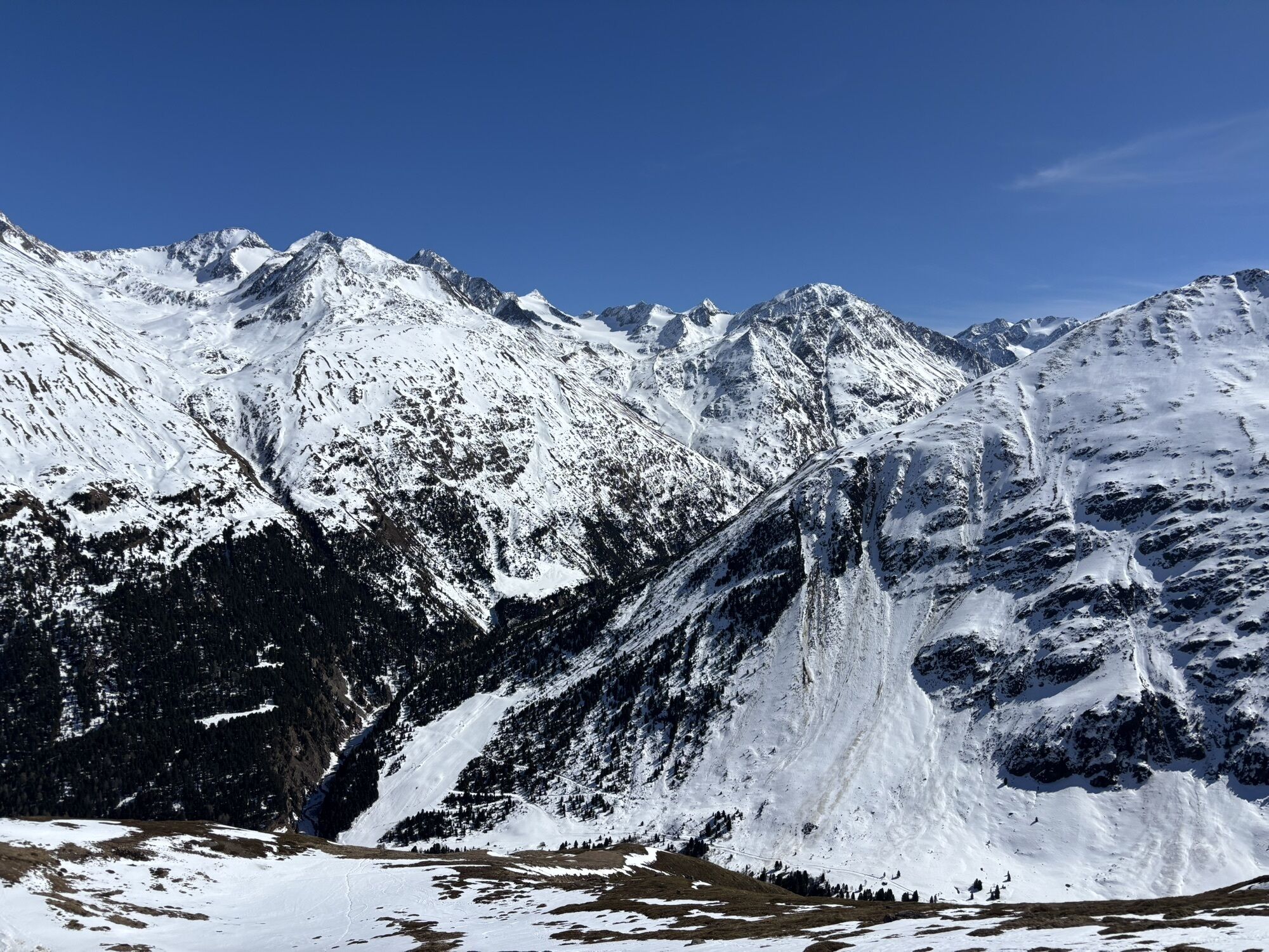


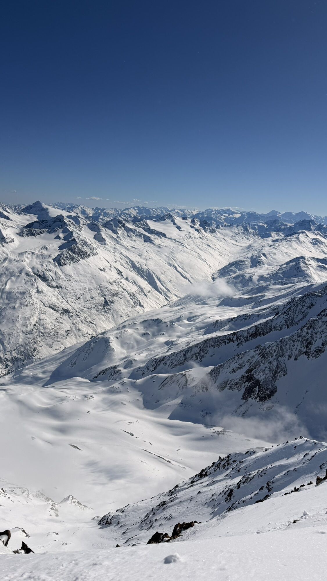


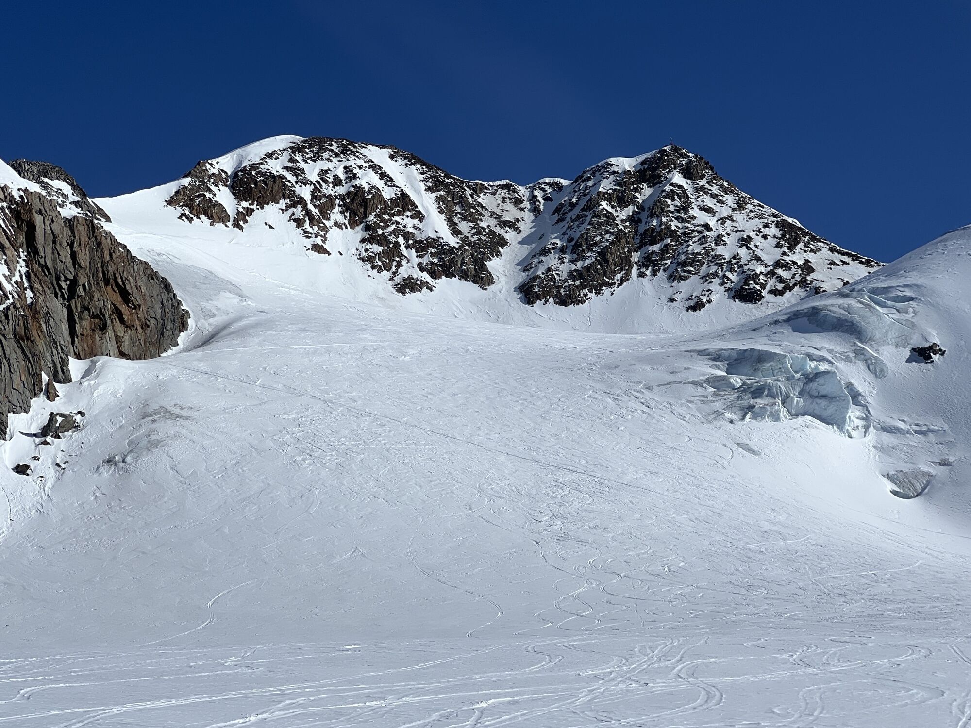
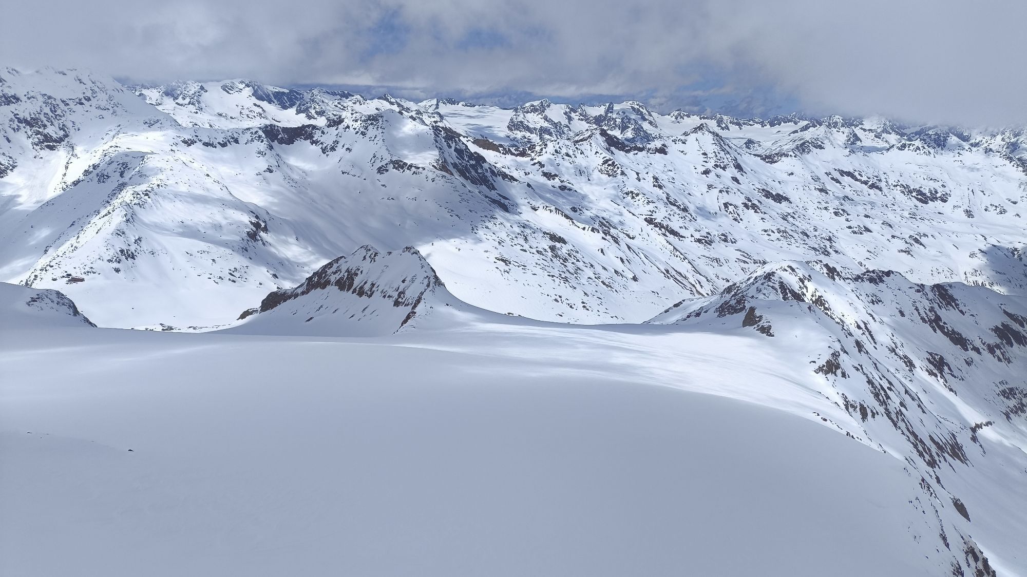
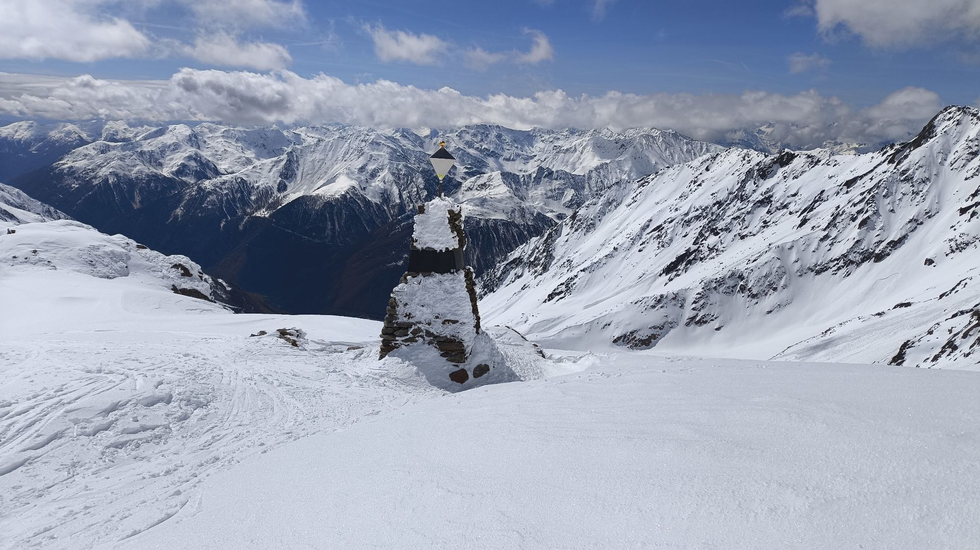
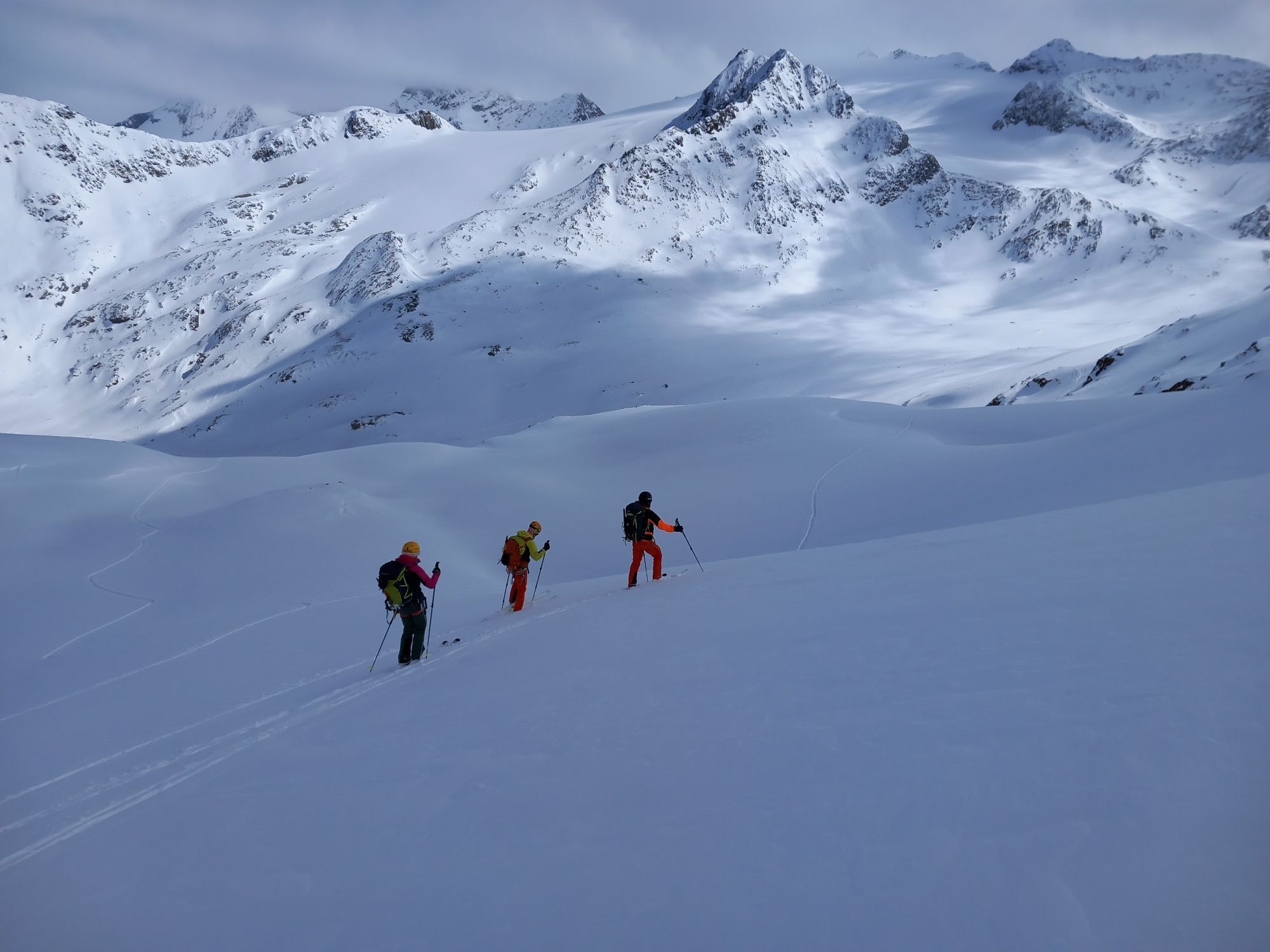


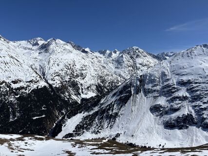
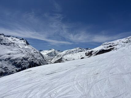
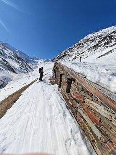
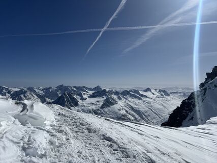
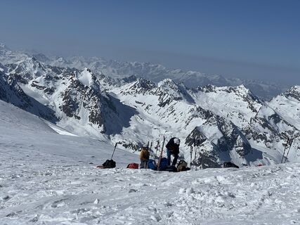
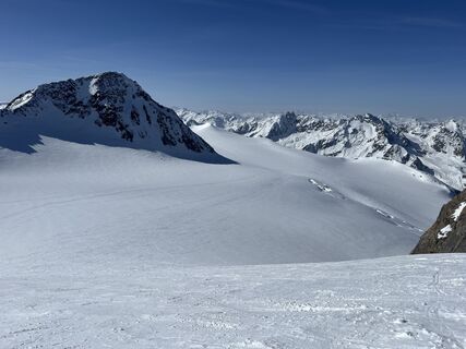
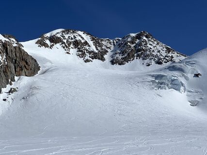
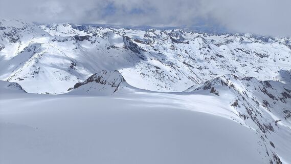
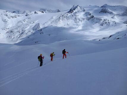
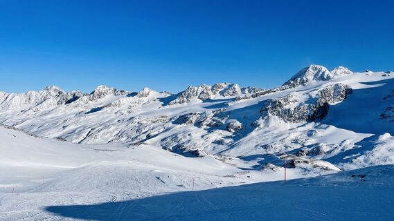
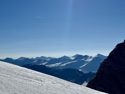
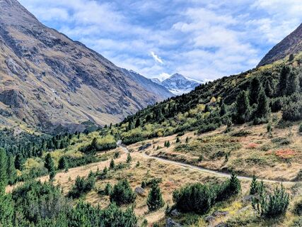
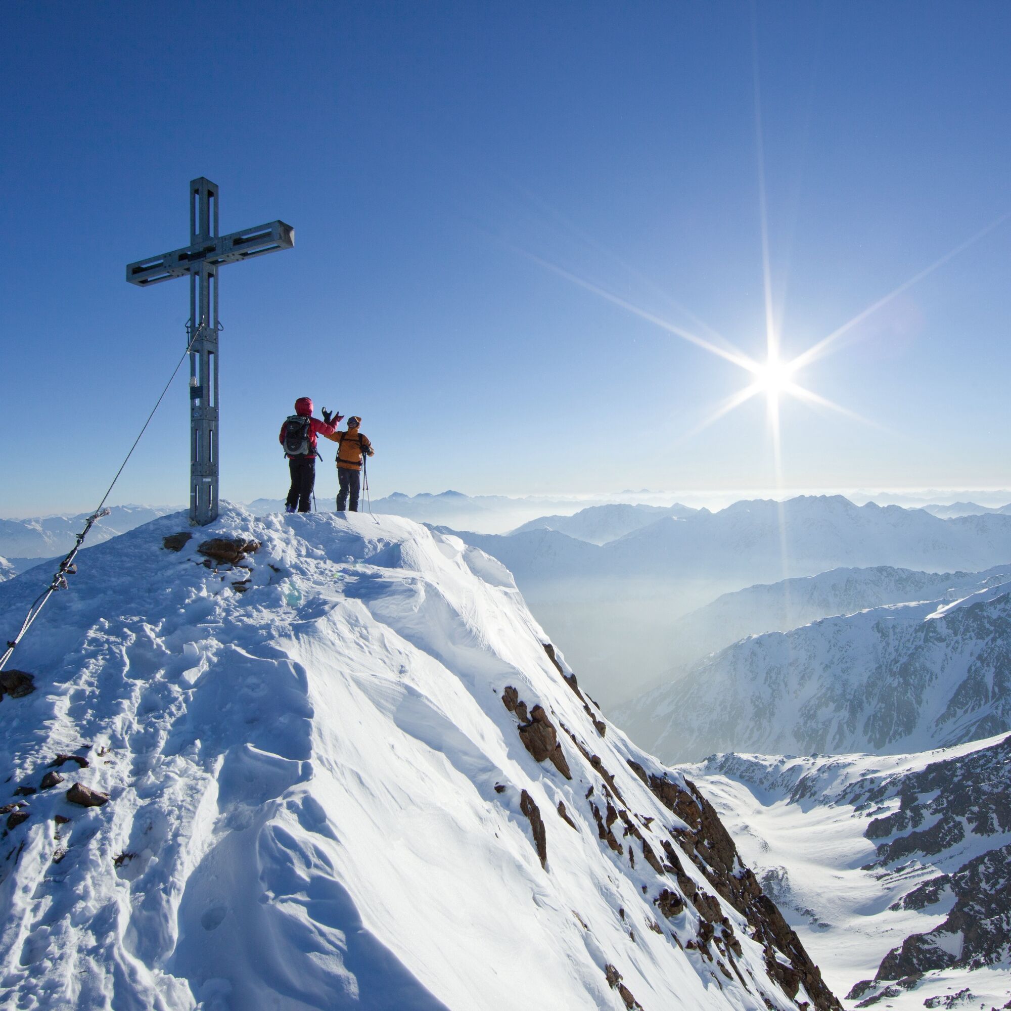
The Venter Runde is a genuine classic ski route and counts among the most popular 'Hautes Routes' of the Eastern Alps. A classic for which even Swiss and French skiers make their way to the Eastern Alps....
ON THE PROGRAM OF THE PEAK COLLECTORS ARE:
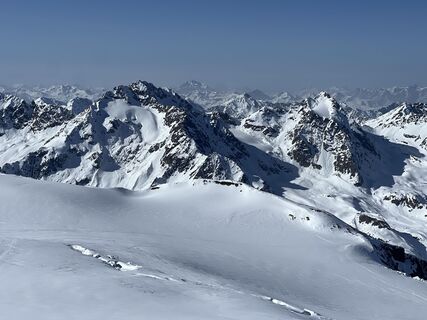
–> Similaun (3,606 m)–> Finailspitze (3,514 m)–> Weisskugel (3,739 m)–> Fluchtkogel (3,497 m)–> Wildspitze (3,768 m)

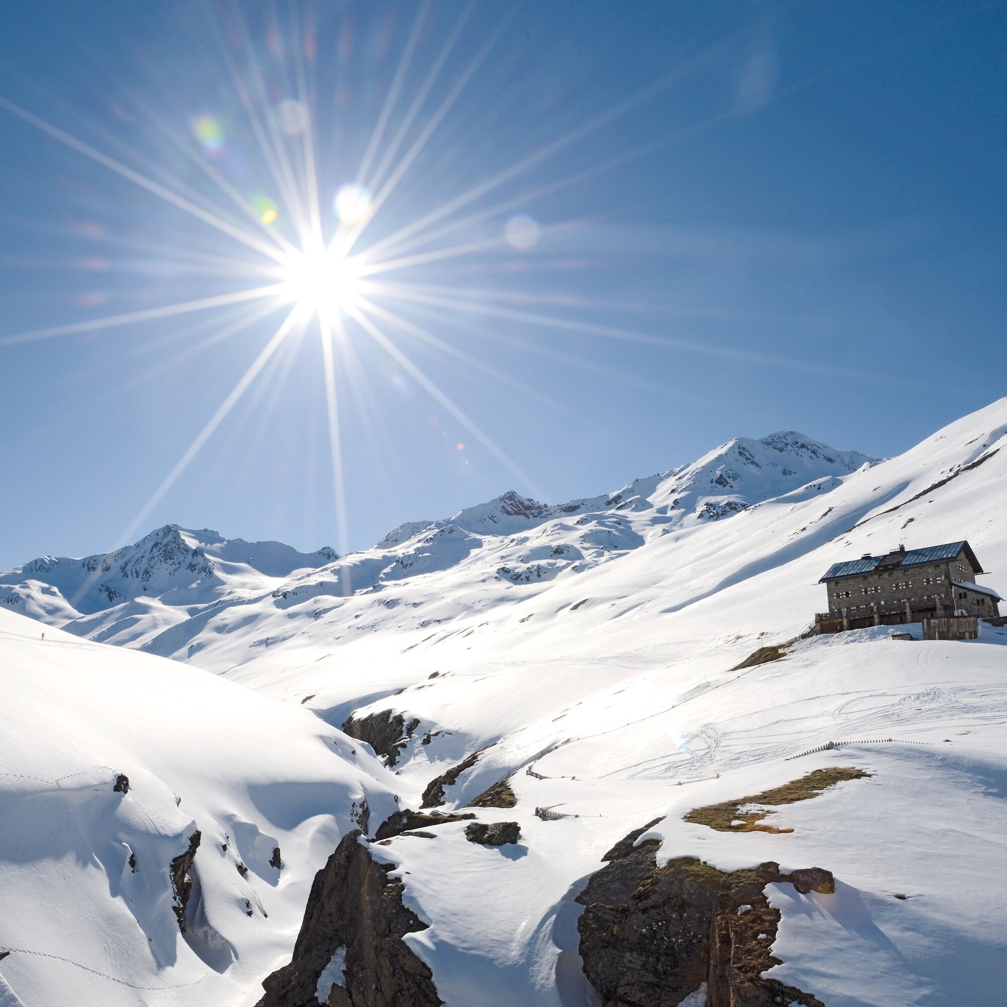
From Vent to the Similaunhütte (3,019 m) ascent through the Niedertal –> Martin-Busch-Hütte (2,501 m, 3 h) –> Similaunhütte (3,019 m, 2 h); altitude difference: 1,120 m; time: 5 h
ALTERNATIVE
Ascent to the Similaun (3,606 m, 2h) or overnight stay at the Martin-Busch-Hütte (2,501 m, 3h). Next day ascent to the Similaunhütte (3,019 m, 2h) and to the Similaun (3,606 m, 2h).
ADDITIONAL ALTERNATIVE
Ascent from the Martin-Busch-Hütte to the Saykogel.
PEAKS
Kreuzspitze (3,455 m), Hauslabkogel (3,402 m), Similaun (3,606 m), Hintere Schwärze (3,624 m), Saykogel (3,355 m), Finailspitze (3,514 m)
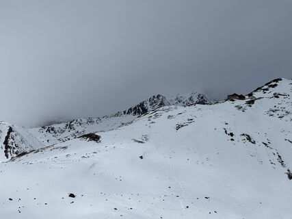
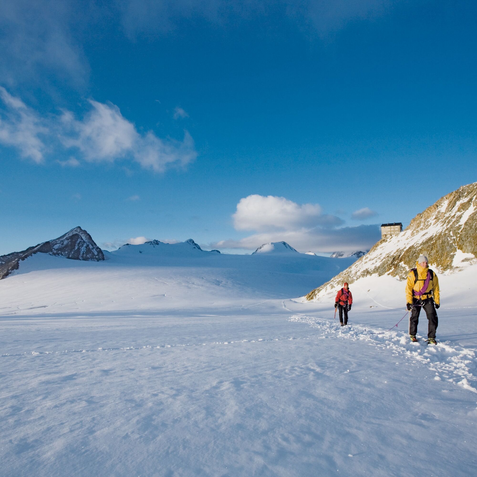
HUT CROSSINGS
Similaunhütte (3,019 m), Hochjoch Hospiz (2,413 m), Hochwildehaus (2,866 m), Ramolhaus (3,005 m)
Martin-Busch-Hütte for acclimatization (2,501 m, DAV)
operated from early March to early May
T +43 (0) 5254 8130 T +43 (0) 664 3043 151 www.hotel-vent.at info@hotel-vent.at
DAY 2
Over the Finailspitze (3,514 m) to Schöne Aussicht (2,846 m)
Ascent to the Ötzi site (Tisenjoch) –> past the Hauslabjoch (1.5 h) –> via the northeast ridge to the Finailspitze (3,514 m, 1 h) –> descent over the eastern part of the Hochjochferner –> traverse to the lower Hochjochferner –> short ascent to Schöne Aussicht (2,846 m);
ALTITUDE DIFFERENCES
Ascent 680 m, descent: 860 m; time: 5 h
PEAKS
Similaun (3,606 m), Finailspitze (3,514 m), Similaun traverse (3,606 m), Marzellspitze (3,532 m), Hintere Schwärze (3,624 m)
HUT CROSSINGS
Martin-Busch-Hütte (2,501 m), Schöne Aussicht (2,846 m), Hochjoch Hospiz (2,413 m)
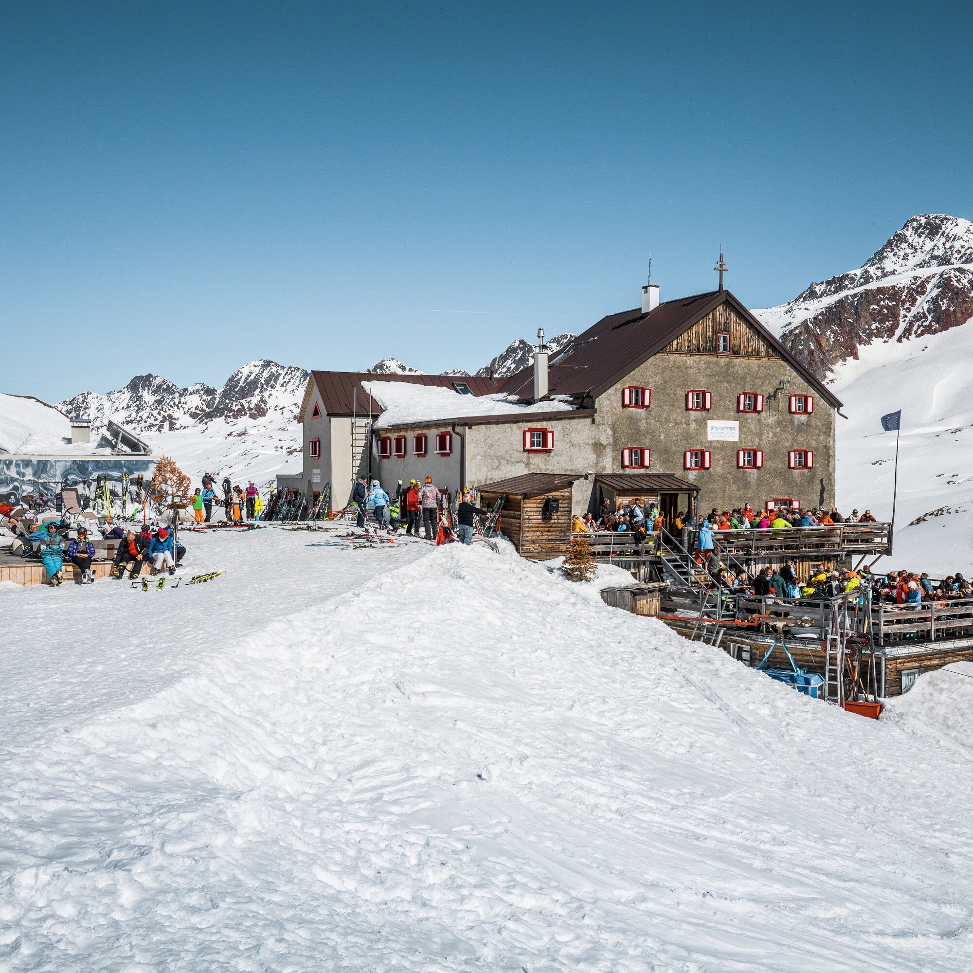
Similaunhütte (3,019 m, private)
operated from mid-March to early May
T +39 (0) 473 669711 Satellite number: 072 0 9204 39
www.similaunhuette.com info@similaunhuette.com
DAY 3
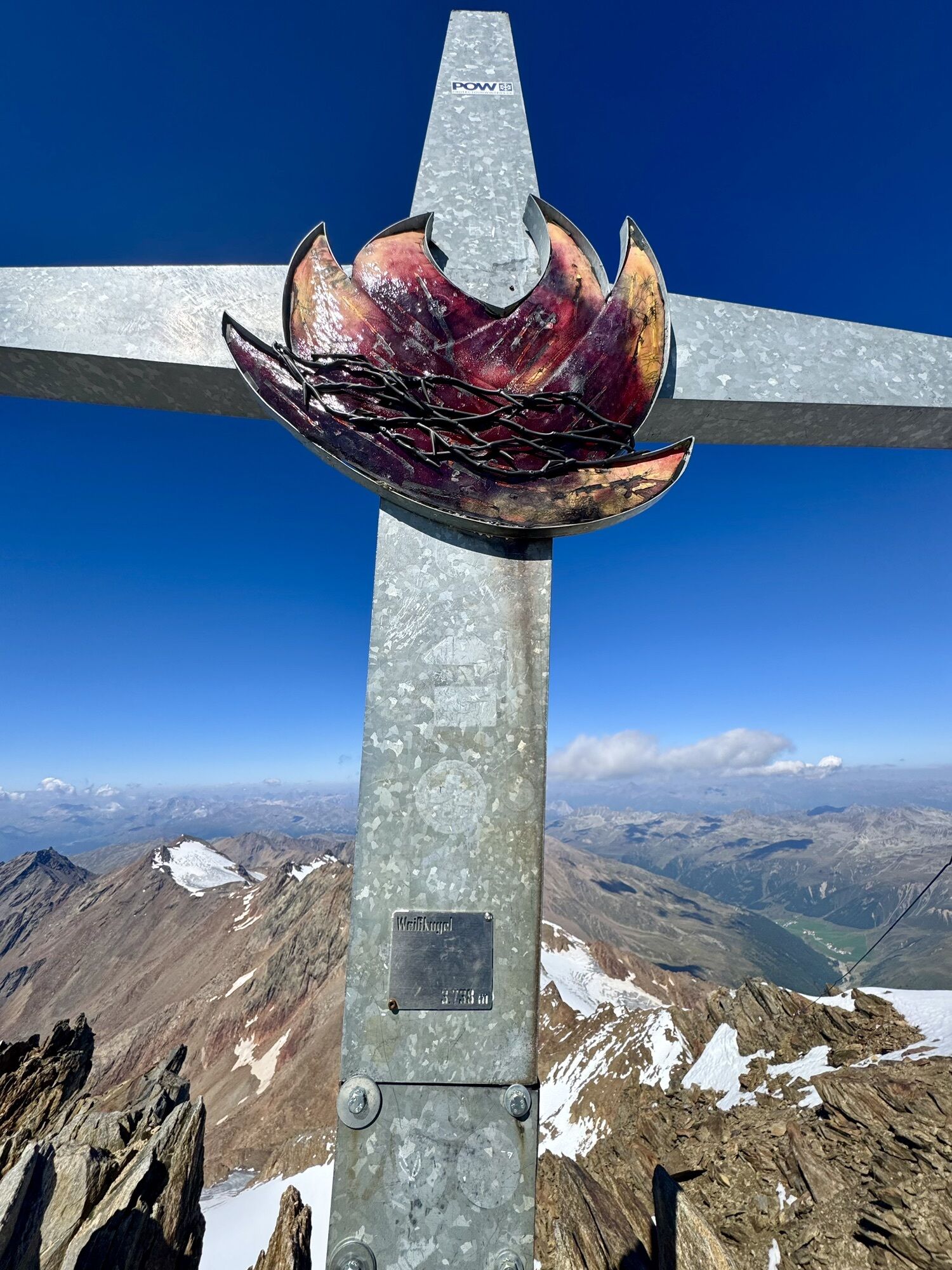
Weißkugel (3,739 m) and Hochjoch Hospiz (2,413 m) ascent saddle between Im hinteren Eis (3,270 m) and Egg (3,219 m) –> descent Hintereisferner –> ascent via the Hintereisferner to the Hintereisjoch (3,460 m, 4 - 4.5 h) –> via the south ridge to the Weisskugel (3,739 m, 1 h) –> descent Hintereisferner to the Hochjoch Hospiz (2,413 m 2 h);
ALTITUDE DIFFERENCES
Ascent 1,360 m, descent 1,790 m; time: 7 – 8 h
PEAKS
Weißkugel (3,739 m), Finailspitze (3,514 m), Langtauferer Spitze (3,528 m), Saykogel (3,355 m),
HUT CROSSINGS
Hochjoch Hospiz (2,413 m), Similaunhütte (3,019 m)
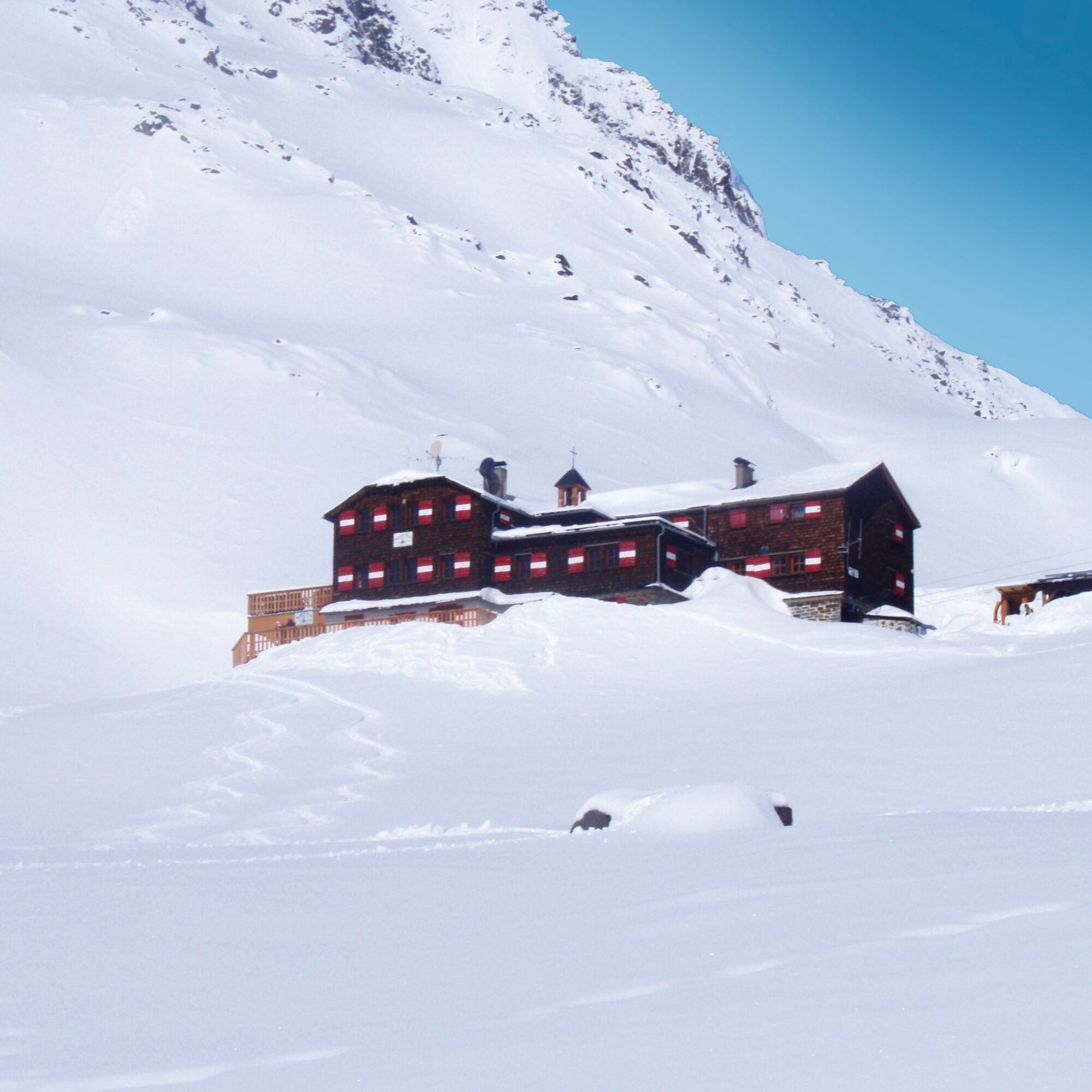
Schöne-Aussicht (2,846 m, private)
operated from late November to mid-May
T +39 (0) 473 662140 www.schoeneaussicht.it info@schoeneaussicht.it
DAY 4
From Fluchtkogel (3,497 m) to Vernagthütte (2,755 m) ascent Kesselwandferner –> Upper Guslarjoch (3,361 m, 3 - 3.5 h) –> further on to Fluchtkogel (3,497 m, 0.5 h) –> descent over the Guslarferner to Vernagthütte (2,755 m - closed winter 24/25, no winter room);
ALTITUDE DIFFERENCES
Ascent 1,100 m, descent 760 m; time: 4.5 – 5 h
PEAKS
Weißkugel (3,739 m), Hintere Guslarspitze (3,147 m), Fluchtkogel (3,497 m), Langtauferer Spitze (3,528 m), Saykogel (3,355 m)
HUT CROSSINGS
Vernagthütte (2,755 m), Brandenburger Haus (3,272 m), Schöne Aussicht (2,846 m), Similaunhütte (3,019 m)
Hochjoch Hospiz (2,413 m, DAV)
operated from early March to early May
T +43 (0) 676 6305 998 Satellite number: 0720 9203 11 www.hochjoch.at hochjoch@gmx.at
DAY 5
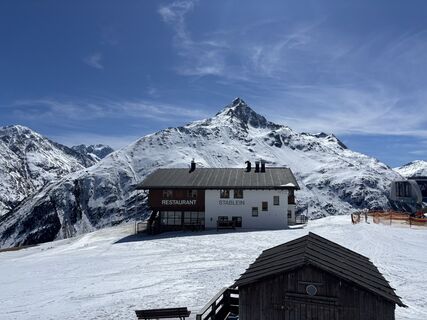
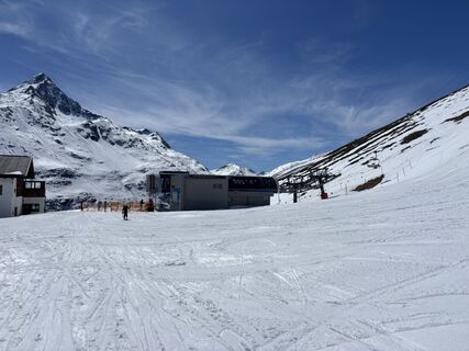
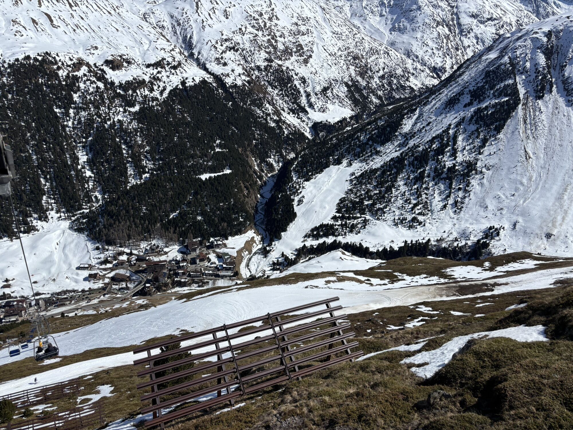
Over the Wildspitze (3,768 m) back to Vent (1,900 m) over the Große and Kleine Vernagtferner to Brochkogeljoch (3,423 m, 2.5 – 3 h) –> over the Taschachferner to the Wildspitze (3,768 m, 1.5 – 2 h) –> descent to Mitterkarjoch (3,470 m) –> steep down to the remains of the Mitterkarferner –> through the Mitterkar to Breslauer Hütte (2,848 m) –> Stablein ski area –> on the piste to Vent;
ALTITUDE DIFFERENCES
Ascent 1,050 m, descent 1,900 m; time: 5.5 – 7 h
ALTERNATIVE
Ascent from Vernagthütte to Hochvernagtspitze (3 h)
PEAKS
Wildspitze (3,774 m), Fluchtkogel (3,497 m), Schwarzwandspitze (3,466 m), Hochvernagtspitze (3,535 m)
HUT CROSSINGS
Hochjoch Hospiz (2,413 m), Breslauer Hütte (2,848 m), Brandenburger Haus (3,272 m), Taschachhaus (2,432 m)
Vernagthütte (2,755 m, DAV)
operated from early March to early May
T +43 (0) 664 7980757 Satellite number: 0720 920 315
Further ski touring options –> Middle Guslarspitze 3,126 m, walking time: 5 h –> Hauslabkogel 3,402 m, walking time: 6.5 h –> Finailspitze 3,514 m, walking time: 7 h –> Vent-Breslauer Hütte (with lift) 2,844 m, walking time: 1 h –> Vent-Stableinalm 2,356 m, walking time: 1.5 h –> Vent-Ramolalm 2,218 m, walking time: 1.5 h –> Vent – chapel in Niedertal 2,120 m, walking time: 1.5 h
Ramoljoch 3,186 m, Vent, AV 30/1, high alpine route - 4 h, 1,300 m ascent and descent, through the magnificent pine forest to Ramolalm and then steeply up to the large, wide rock at about 2,450 m and from there traverse, be careful with this, into the streambed of the Spiegelbach. Further through beautiful hollows and finally steeply again to the pass. Descent via the ascent route.
More routes see at www.oetztal.com/skitouren
Pay attention to hut opening hours!
Recommended ski touring equipment
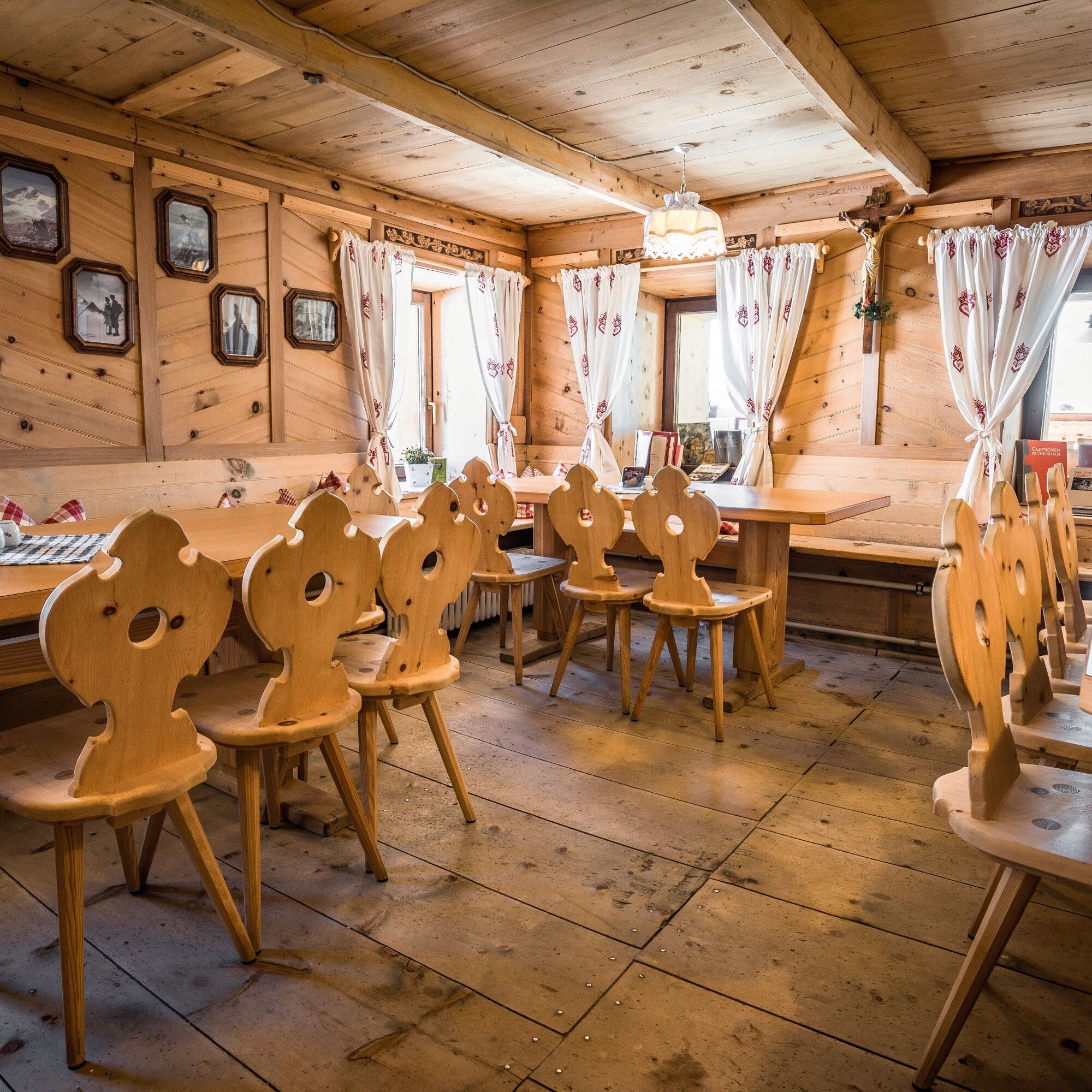
The "normal ski touring equipment" consists of touring skis with touring bindings, telescopic poles, climbing skins, crampons, digital avalanche transceiver, avalanche shovel, avalanche probe, first aid kit, and a mobile phone. A "complete glacier equipment" consists of harness, two prusik loops or ascenders of different lengths, two HMS carabiners, ice axe, crampons, and a rope. A backpack with the appropriate contents should be carried along, including spare clothing, sun protection, cold protection, food, and enough to drink! When staying overnight in huts, don't forget to bring toiletries and a hut sleeping bag!
DIFFICULTY RATING
Easy: Easy, short to moderately long routes with ascents that do not exceed 25° or only briefly exceed this angle. Medium: Moderately difficult, moderately long to long routes with ascents that do not exceed 35° or only briefly exceed this angle. Hard: Difficult, long to very long routes with ascents reaching 40° or more, and climbing sections up to grade II difficulty (UIAA).Avalanche danger scale
1 (LOW)
An avalanche release is only possible with heavy additional load on very few, extreme steep slopes. No spontaneous avalanches (so-called slides) are expected. Generally safe conditions.
2 (MODERATE)
An avalanche release is likely with heavy additional load mainly on the indicated steep slopes. Larger avalanches are not expected. The snowpack is generally well consolidated except on some steep slopes. Careful route choice for the given steep slopes and slope exposures.
3 (CONSIDERABLE)
An avalanche release is likely already with a small additional load mainly on the indicated steep slopes. Occasionally, some medium, occasionally also large avalanches are possible spontaneously. The snowpack is only moderately to weakly consolidated on many steep slopes. Experience in avalanche assessment necessary. Avoid the indicated steep slopes and slope exposures as much as possible.
4 (HIGH)
An avalanche release is possible already with a small additional load mainly on the indicated steep slopes. Numerous medium and repeatedly large avalanches may occur. On many steep slopes the snowpack is only weakly consolidated. Route choice limiting to moderately steep terrain and observation of avalanche runout zones. A lot of experience in avalanche assessment is necessary.
5 (VERY HIGH)
Numerous large avalanches are expected spontaneously, also in moderately steep terrain. At this warning level, safe operation in ski areas is no longer possible. The snowpack is generally weakly consolidated and unstable. Avoid tours is recommended.
See also at lawine.tirol.gv.at
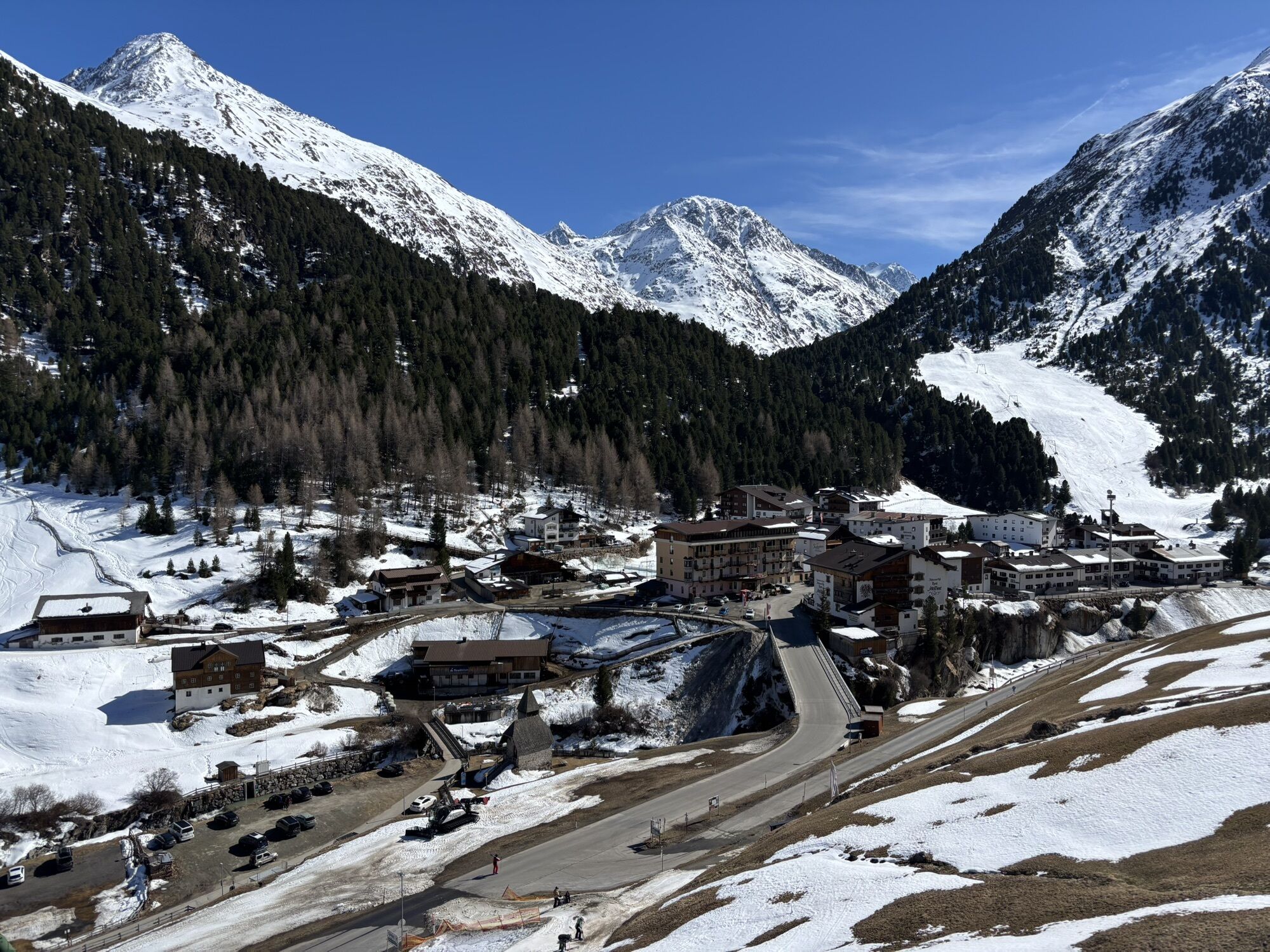
Vent is located in the west of Austria in the state of TYROL, in a southern side valley of the Inntal - the ÖTZTAL. For your arrival by car, plan the optimal travel route from your home with the route planner online now: https://www.google.at/maps
Travel comfortably and safely by train to the Ötztal train station. The last stop or exit point is ÖTZTAL station. Afterwards, travel conveniently and quickly by public bus or local taxis throughout the valley to your destination! Current bus schedules are available at: http://fahrplan.vvt.at
In the mountaineering village of Vent, the following parking options are available.
- In summer, in front of the village (parking meter, coins or EC card only) and at the valley station of the chairlift (at the ticket office of the cable cars)
- In winter, only at the valley station of the chairlift.
Cost: € 5.00 per day/car
Ski touring rules
Observe the applicable regulations in all activities in nature and when choosing routes (e.g. wildlife protection areas, hunting closed areas, afforestation zones, information boards, etc.) Respect quiet zones for wild animals and avoid feeding areas and loud noises Cross forested areas in winter only on approved paths and routes, animals react very panicked to unlocatable noise. Recognize the habitats of wild animals, avoid the animals if possible. Observe wild animals only from a distance. Dogs must be kept on a leash, it is absolutely irresponsible to let dogs run freely in the forest during the winter emergency period. Proper timing: start early enough and return before dark. In spring, you should be back at the hut by noon (avalanche danger) Never ski through reforestation and young growth areas.Ötztal Tourism assumes no liability for the listed tours and recommends taking a mountain guide. Glacier crossings are only possible with a rope and in a group.
Before starting a tour, the destination and estimated return time should be reported in the valley. The use of an avalanche transceiver is strongly recommended.
More info on ski touring in the Ötztal: https://www.oetztal.com/skitouren
Check the opening hours of the huts.
Spletne kamere s turneje
-
Schutzhütte Schöne Aussicht
-
Venter Seilbahnen - DSL Wildspitze
-
Schnalstal - Bergstation Gletscherbahn
-
Alt Vent
-
Geierwallihof - Rofen/Vent
-
Vent
-
Vent
-
Vent
-
Tisenjoch
-
Schnalstal - Bergstation Gletscherbahn
-
Schnalstal - Bergstation Gletscherbahn
-
Lazaun Bergstation
-
Lazaun Bergstation
-
Lazaun Bergstation
-
Umlaufbahn Lazaun II
-
Umlaufbahn Lazaun II
-
Umlaufbahn Lazaun II
-
Umlaufbahn Lazaun II
-
Umlaufbahn Lazaun II
-
Umlaufbahn Lazaun II
-
Schnals - Grawand
Priljubljeni izleti v okolici
-
3.1
Tiefenbachglacier - Mountaineering Village Vent
srednjaPohodništvo 10.8 km -
4.3
Vorderkaser - Eishof / Texelgruppe
svetlobaPohodništvo 4.83 km -
4.2
Rundweg Vernagter See plus Einkehr Finailhof
srednjaPohodništvo 8.73 km -
4.0
Vernagt-Stausee (Seerundgang)
svetlobaPohodništvo 6.70 km -
4.5
Vent - Wilder Mann - Breslauer Hütte - Stableinalm
srednjaPohodništvo 7.25 km -
5.0
Fuldauer Höhenweg zum Taschachhaus
srednjaPohodništvo 11.3 km -
5.0
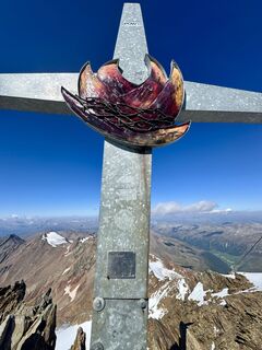
From Vent to the Similaun at 3,606 m
težkoVisokogorska tura 29.2 km -
4.8
Vent - Martin Busch Hut - Similaun Hut
srednjaPohodništvo 13.7 km -
4.9
Pfossental - vom Vorderkaser auf die Stettinerhütte
srednjaPohodništvo 23.7 km -
5.0
Similaun-Hütte
srednjaGorski pohodništvo 14 km
Pohodništvo in sledenje


Ne zamudite ponudb in navdiha za naslednje počitnice
Vaš e-poštni naslov je bil dodan na poštni seznam.