


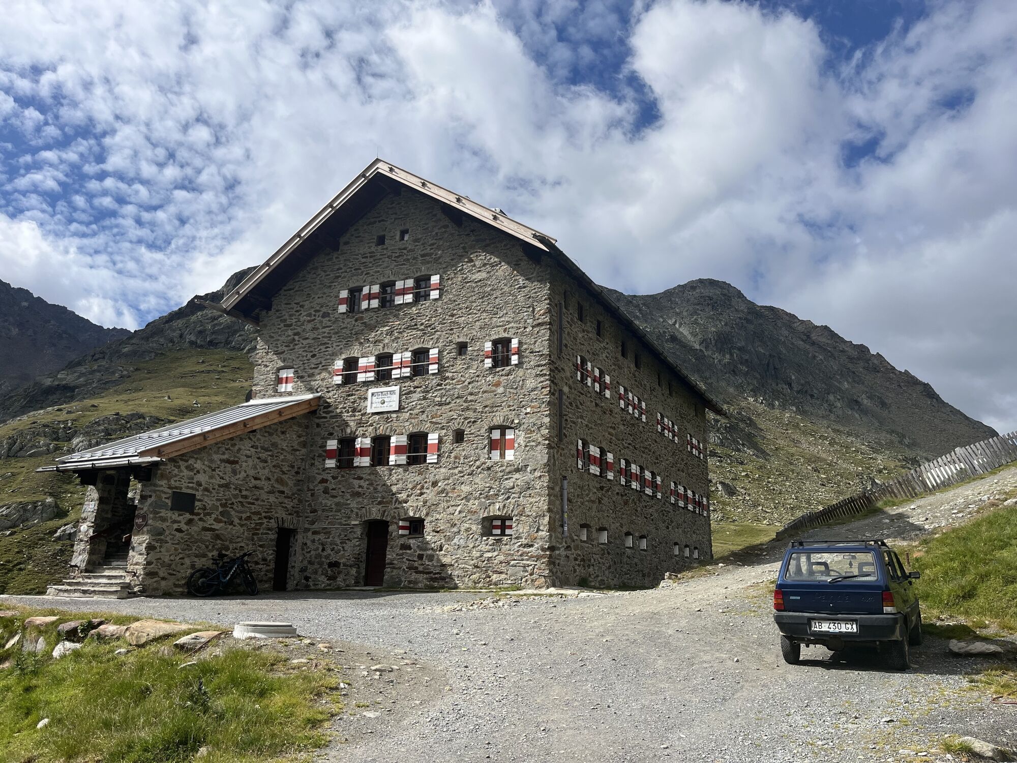
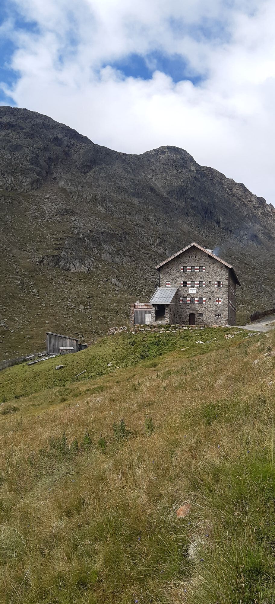
Martin Busch Hut via the Similaun to the Similaun Hut
Fotografije naših uporabnikov
-
 © Florian OffergeltUstvarjeno na 13.03.2026
 -
 © NozzoUstvarjeno na 22.04.2025
 -

 © Sabrina HackelUstvarjeno na 16.09.2025
 -

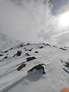
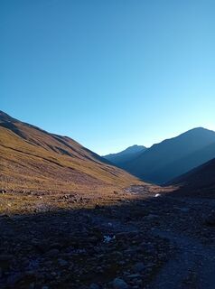
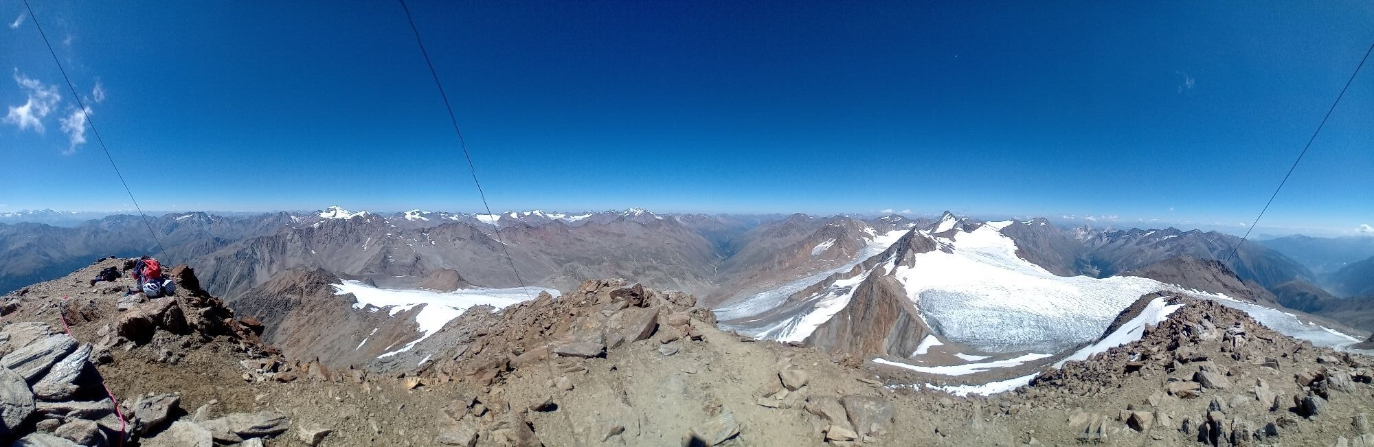
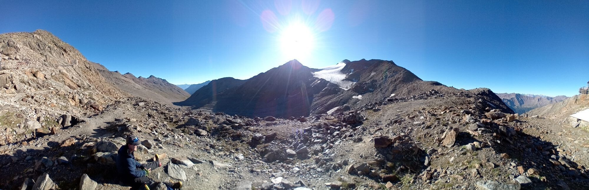
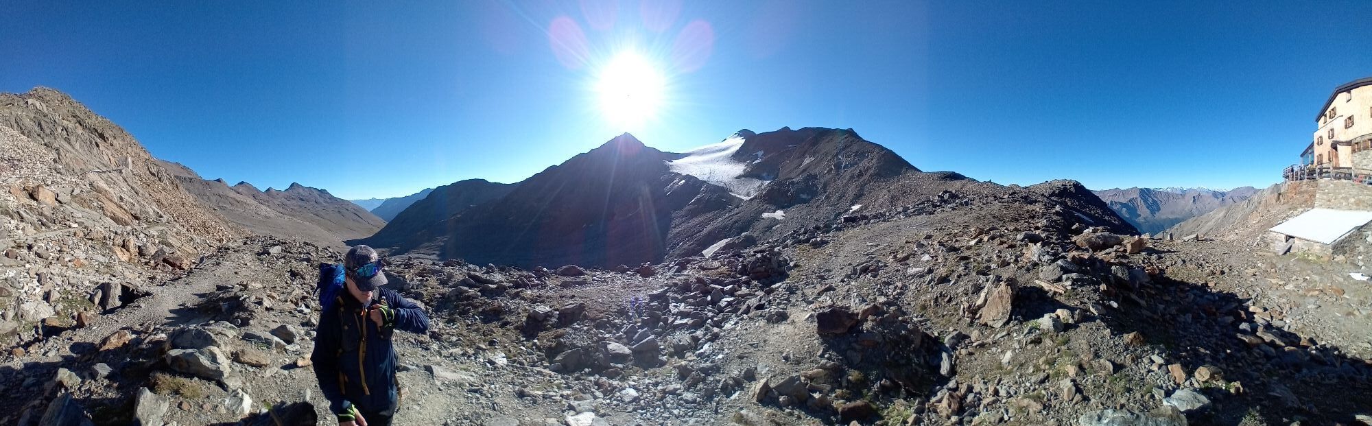
 © Jan kopeckýUstvarjeno na 08.08.2025
 -
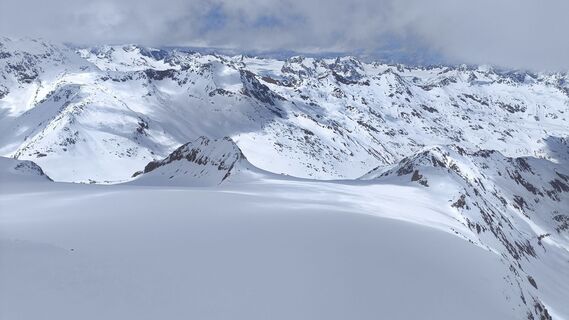
 © Jan kopeckýUstvarjeno na 08.08.2025
 -
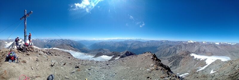
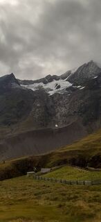
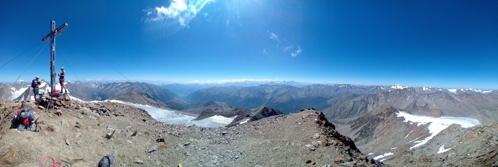
 © Fred LorenzUstvarjeno na 08.08.2025
 -
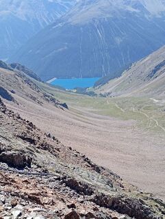
 © Jan kopeckýUstvarjeno na 08.08.2025
 -
 © Jan kopeckýUstvarjeno na 08.08.2025
 -
 © Jan kopeckýUstvarjeno na 08.08.2025
 -
 © Jan kopeckýUstvarjeno na 08.08.2025
 -

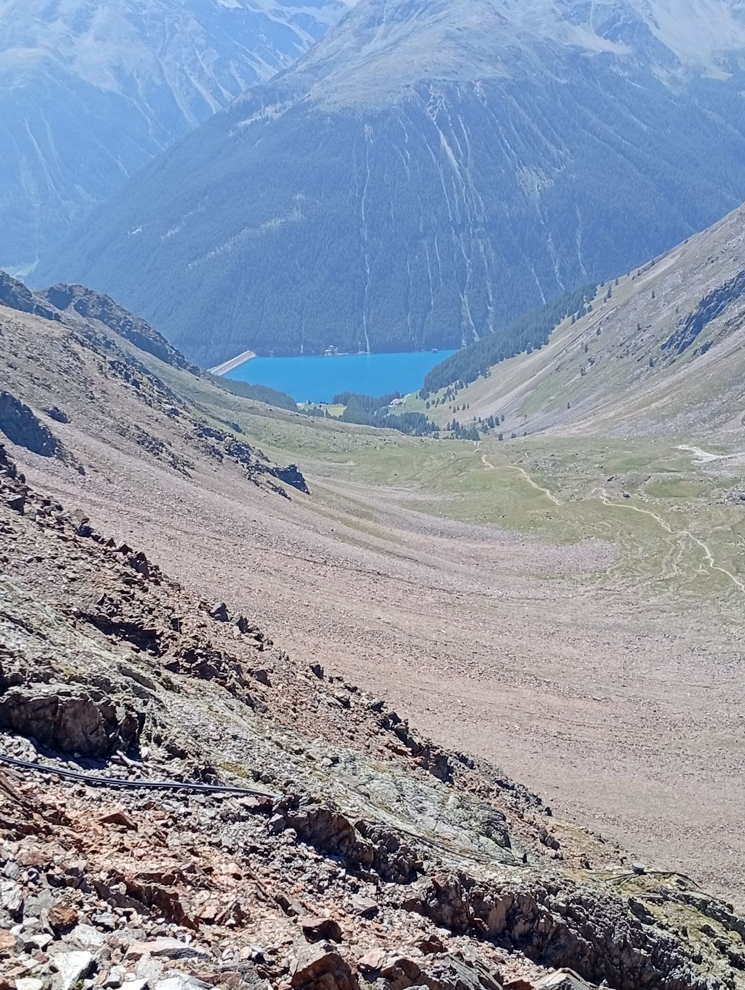
 © Jonas KaufmannUstvarjeno na 30.07.2025
 -
 © MinaUstvarjeno na 29.07.2025
 -
 © MinaUstvarjeno na 29.07.2025
 -
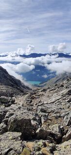
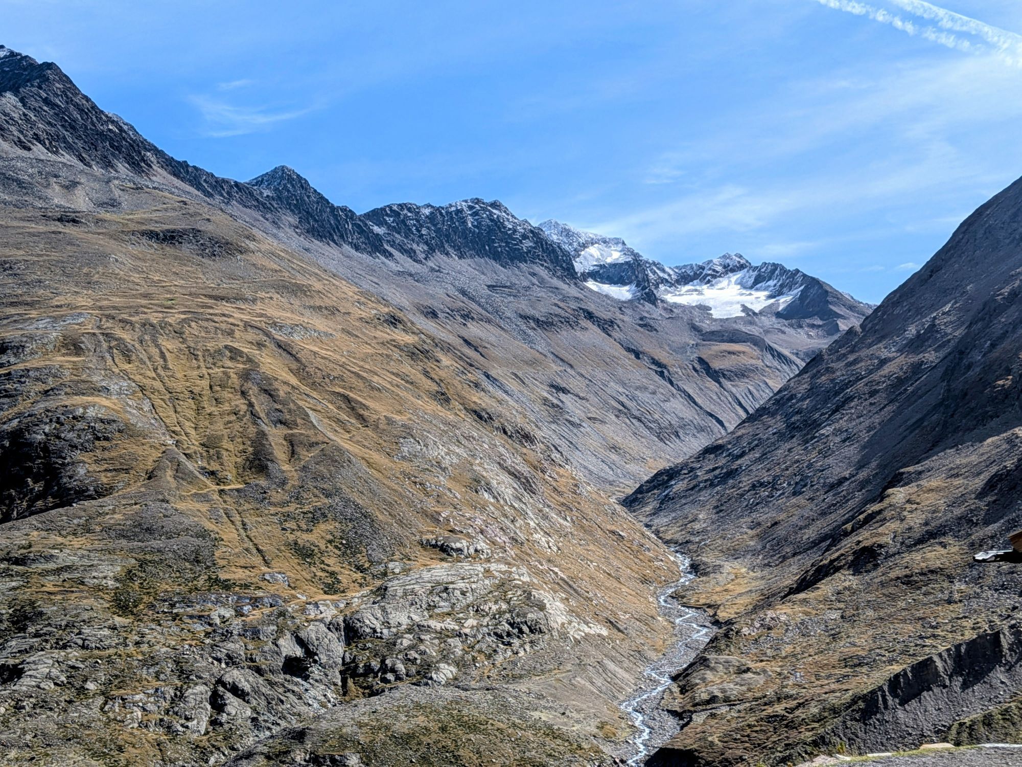
 © Daniele SpeziaUstvarjeno na 17.09.2023
 -
 © Daniele SpeziaUstvarjeno na 17.09.2023
 -
 © Daniele SpeziaUstvarjeno na 17.09.2023
 -
 © Daniele SpeziaUstvarjeno na 17.09.2023
 -
 © Daniele SpeziaUstvarjeno na 17.09.2023


Ascent to the Similaun Hut (3,019 m) and to the Similaun (3,606 m)
ALTERNATIVE: ascent from the Martin Busch Hut to the Saykogel (3,355 m).
SURROUNDING PEAKS: Kreuzspitze (3,455 m), Hauslabkogel (3,402...
Ascent to the Similaun Hut (3,019 m) and to the Similaun (3,606 m)
ALTERNATIVE: ascent from the Martin Busch Hut to the Saykogel (3,355 m).
SURROUNDING PEAKS: Kreuzspitze (3,455 m), Hauslabkogel (3,402 m), Similaun (3,606 m), Hinter Schwarze (3,624 m), Saykogel (3,355 m), Finailspitze (3,514 m)
HUT CONNECTIONS: Similaun Hut (3,019 m), Hochjoch Hospitz (2,413 m), Hochwildehaus (2,866 m), Ramolhaus (3,005 m)

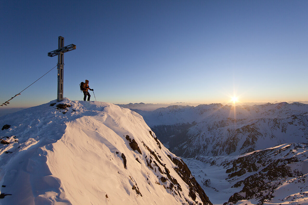
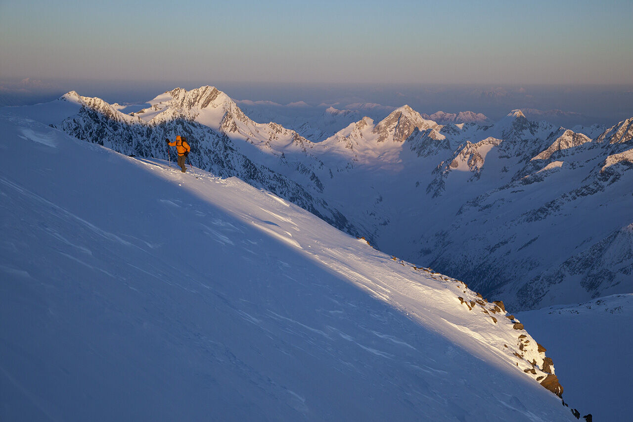
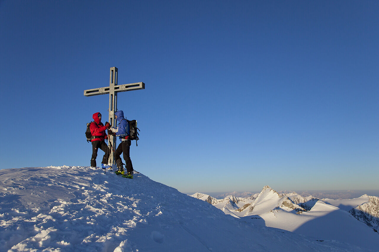
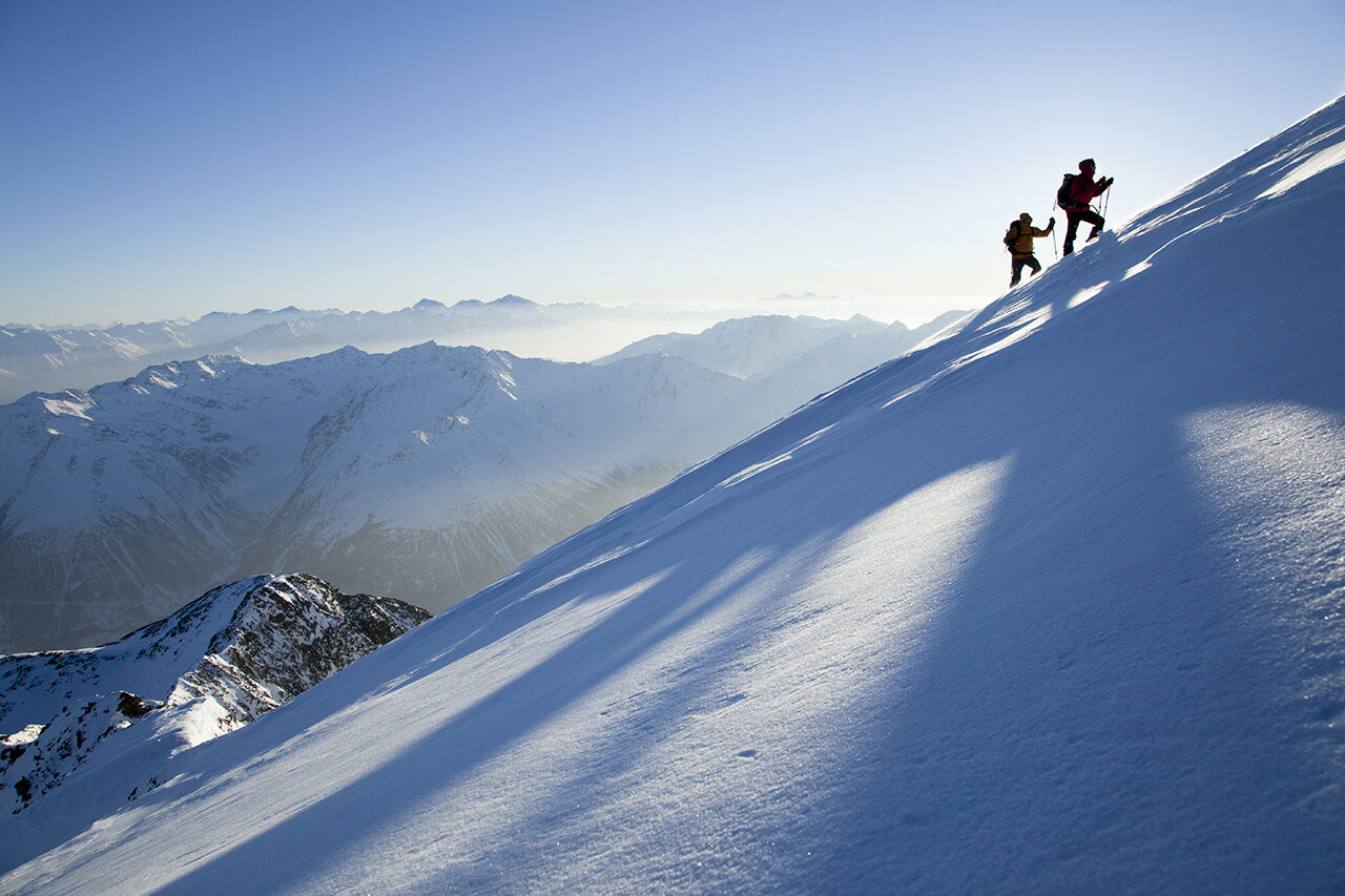
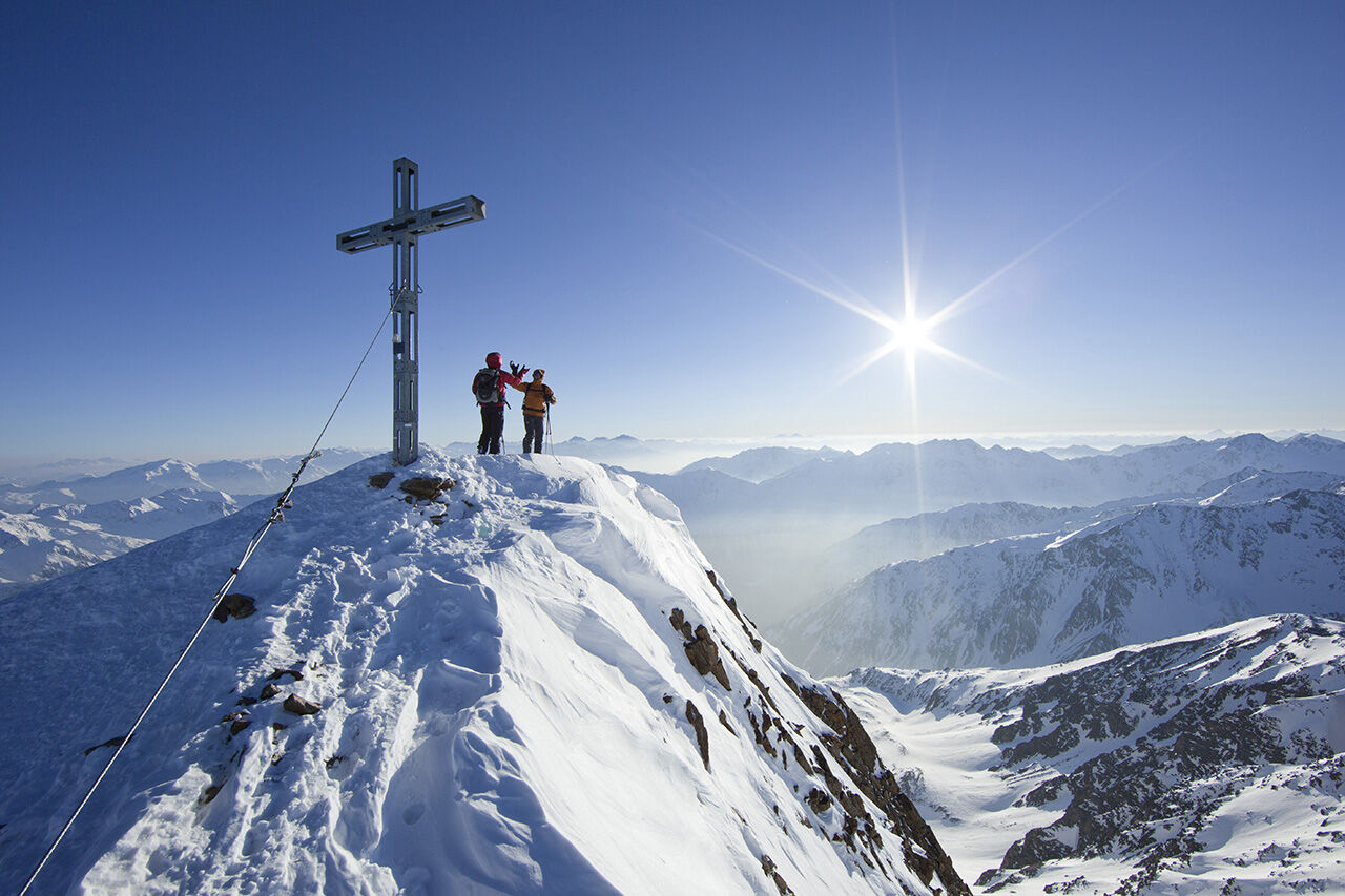
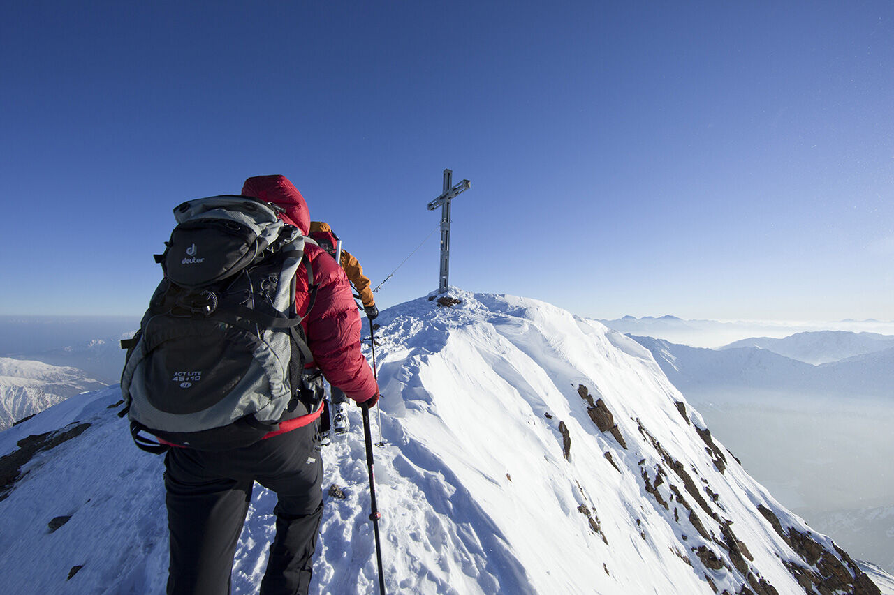
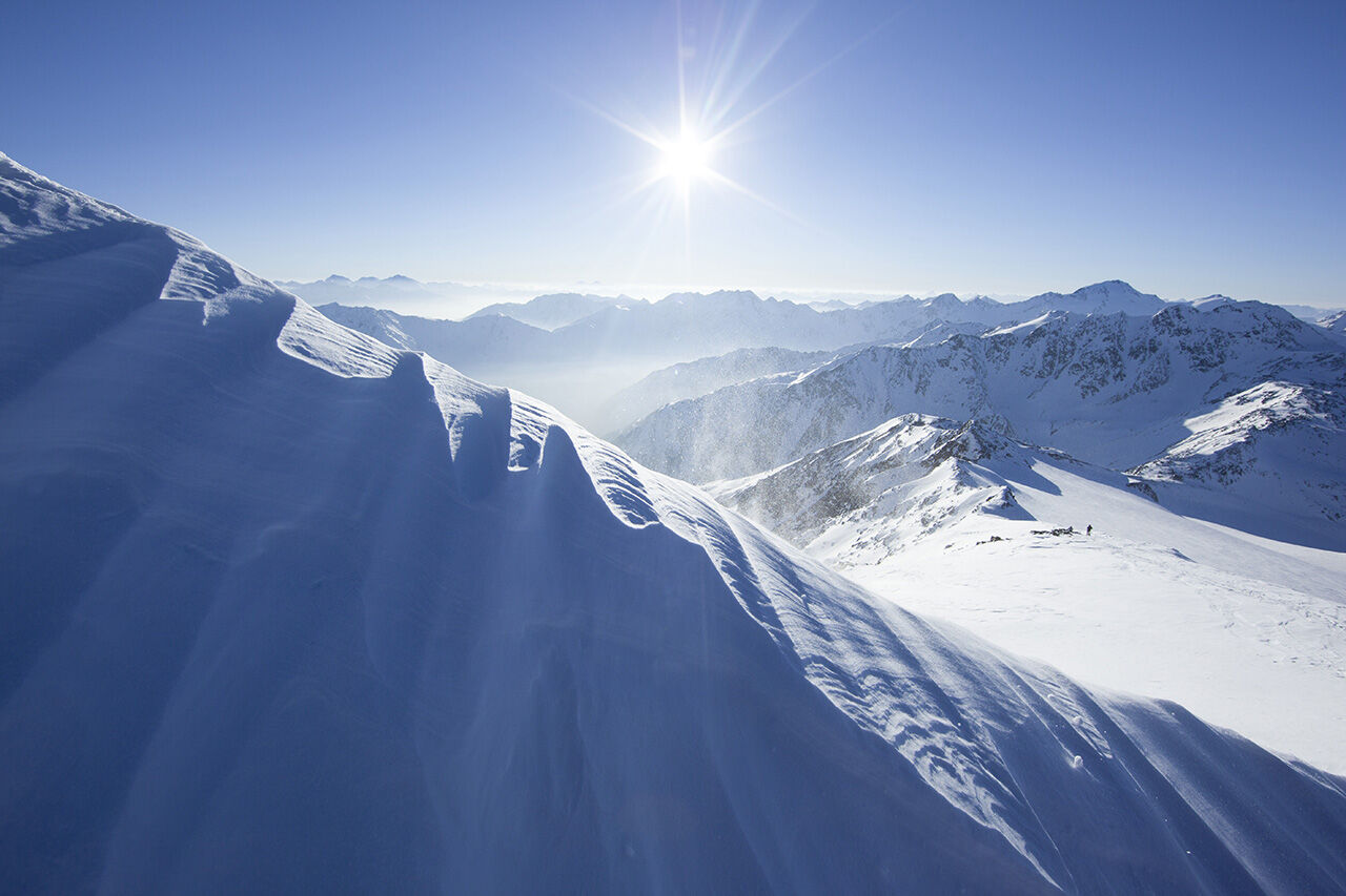
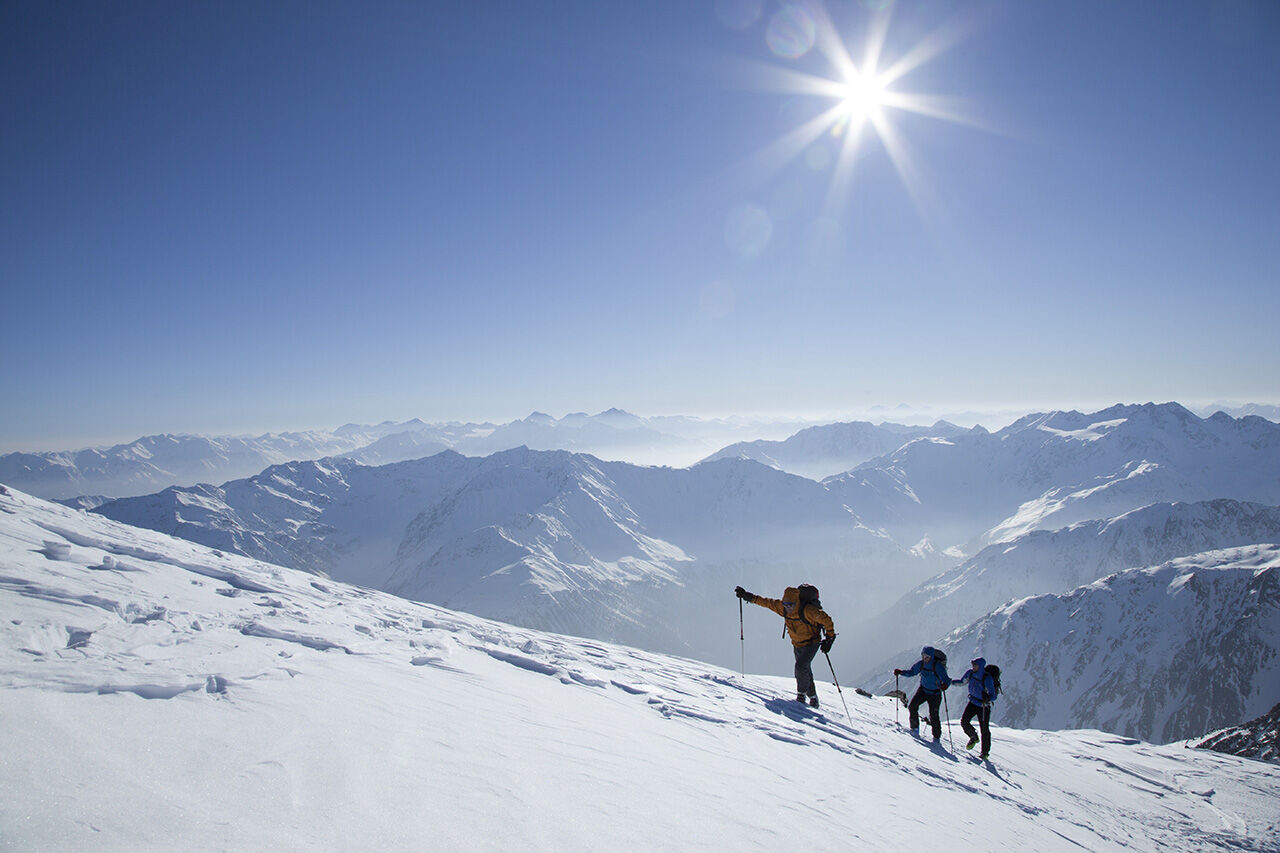
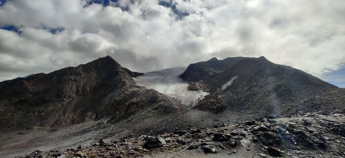
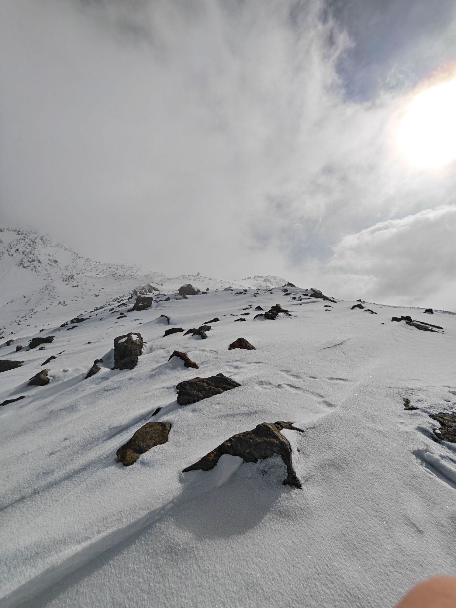
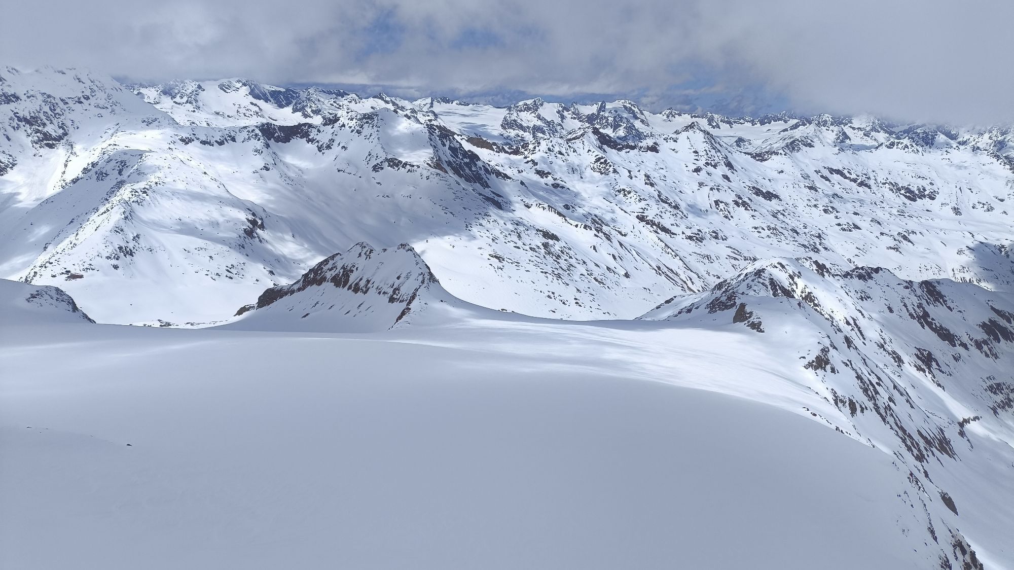
The Similaun, 3,606 m, is probably the most popular ski route destination in the area of the Martin Busch Hut, partly because the summit has a catchy name and partly because the route is only minimally avalanche-prone, provided you stick to the ascent route during the descent. However, if you choose the more direct, northern route down into the valley via the Niederjochferner, which is more worthwhile for skiing, favorable avalanche conditions should prevail. In this case, many also choose the same ascent. Here, the classic, very pleasant, and objectively safer ascent past the Niederjoch is presented. This route leads you largely without problems to the foot of the northwest ridge, which you can still climb a few meters further with skis attached under good snow conditions. Only the last meters must be climbed on foot on the relatively easy NW ridge with or without crampons, depending on snow conditions. In more problematic avalanche conditions, you should stick to the ascent track during the descent. If the conditions are estimated as favorable, the descent via the northern branch of the Niederjochferner is recommended. But even here, you only enter slightly steeper terrain in certain places. With sufficient snow cover and good visibility, the risk of crevasses on the Niederjochferner can be assessed as low. Nevertheless, it is always advisable to carry appropriate alpine touring equipment in high alpine terrain.
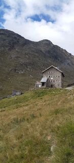
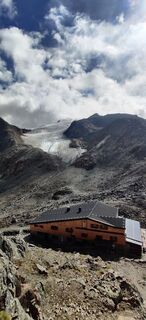
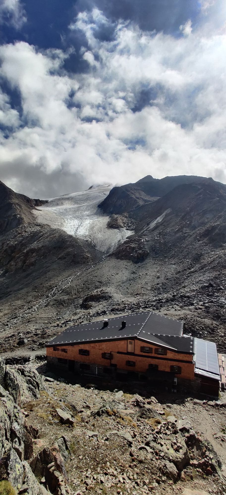
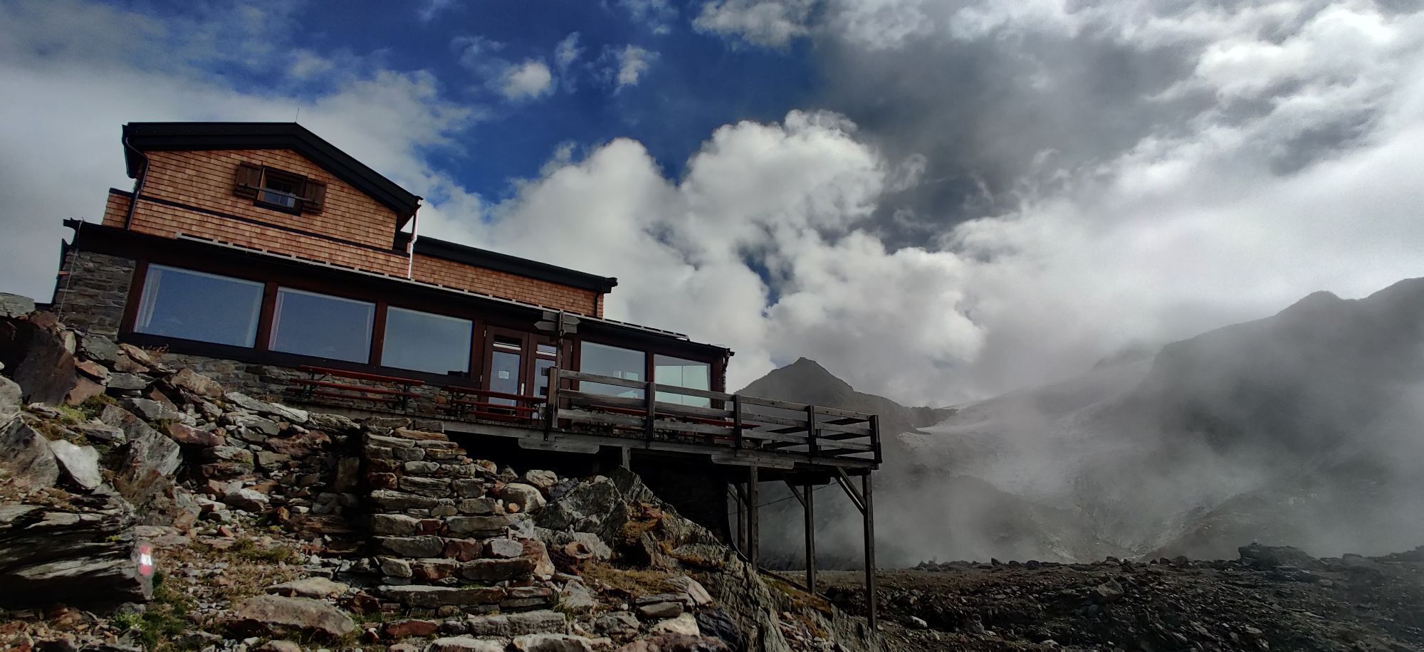
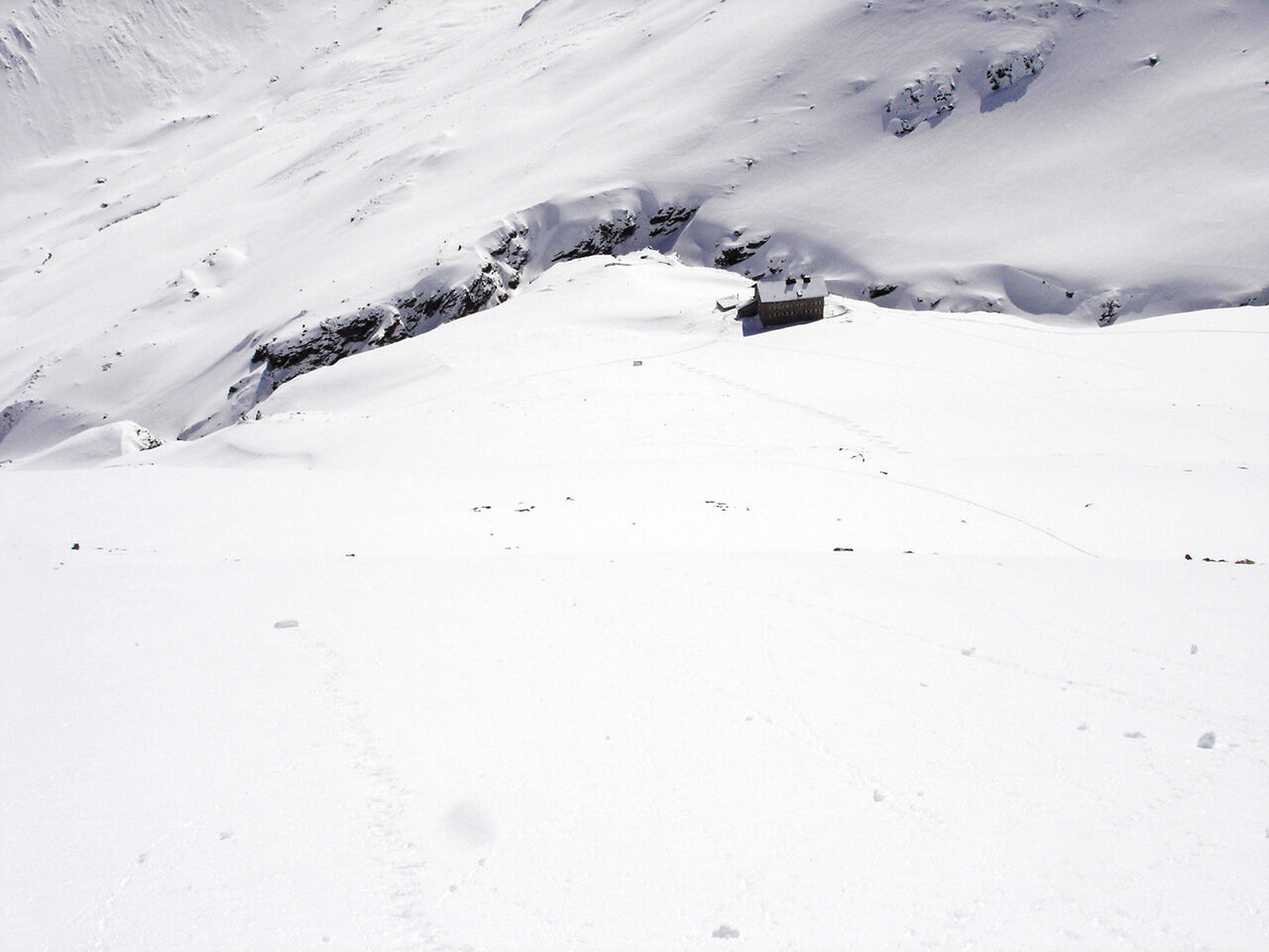
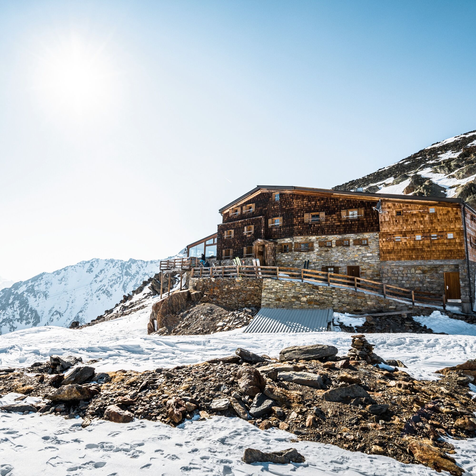
Similaun Hut (3,019 m, private)
T +39 (0) 473 6697 11 Satellite number: 072 0 9204 39
www.similaunhuette.com
info@similaunhuette.com
Recommended ski touring equipment
The "normal ski touring equipment" consists of touring skis with touring bindings, telescopic poles, climbing skins, crampons, digital avalanche transceiver, avalanche shovel, avalanche probe, first aid kit, and a mobile phone. A "complete glacier equipment" consists of harness, two Prusik loops of different lengths or ascenders, two HMS carabiners, ice axe, crampons, and a rope. A backpack with appropriate contents should be carried, including change of clothes, sun protection, cold protection, food, and enough to drink! For hut overnight stays, do not forget hygiene articles and a hut sleeping bag!
DIFFICULTY RATING
Easy: Easy, short to moderately long routes with ascents not exceeding 25° or only briefly exceeding it. Medium: Medium-difficulty, moderately long to long routes with ascents not exceeding 35° or only briefly exceeding it. Hard: Difficult, long to very long routes with ascents reaching 40° or more, and climbing sections up to UIAA II difficulty.Avalanche danger scale
1 (LOW)
Avalanche release is only possible with heavy additional load on very few extreme steep slopes. No spontaneous avalanches (so-called slides) are expected. Generally safe conditions.
2 (MODERATE)
Avalanche release is likely with heavy additional load especially on the indicated steep slopes. Larger avalanches are not expected. The snowpack is generally well consolidated except at some steep slopes. Careful route selection for the indicated slopes and exposures.
3 (CONSIDERABLE)
Avalanche release is already likely with little additional load mainly on the indicated steep slopes. Sometimes some medium, occasionally large avalanches are possible spontaneously. The snowpack is only moderately to weakly consolidated on many steep slopes. Experience in avalanche assessment is necessary. Avoid indicated slopes and exposures if possible.
4 (HIGH)
Avalanche release is already possible with little additional load mainly on the indicated steep slopes. There are times when many medium and several large avalanches occur. The snowpack is weakly consolidated on many steep slopes. Route selection should be limited to moderately steep terrain and avalanche runout zones should be observed. Much experience in avalanche assessment is needed.
5 (VERY HIGH)
Numerous large avalanches, even in moderately steep terrain, are expected spontaneously. At this warning level, no safe operation in ski areas is possible. The snowpack is generally weakly consolidated and unstable. Avoid routes is recommended.
See also under lawine.tirol.gv.at
Obergurgl-Hochgurgl is located in the west of Austria in the federal state of TIROL, in a southern side valley of the Inn valley - the ÖTZTAL. For your journey by car, plan the optimal route from your home location with the route planner online: https://www.google.at/maps
Travel comfortably and safely by train to the Ötztal railway station. The final stop or exit point is the ÖTZTAL station. Afterwards, you travel comfortably and quickly with public transport or local taxis through the entire valley to your desired destination! The current bus schedule is available at: http://fahrplan.vvt.at
In the mountaineering village Vent, the following parking options are available.
- In summer in front of the village (parking meter, coins or EC card only) and at the valley station of the chairlift (at the Bergbahnen cash desk)
- In winter only at the valley station of the chairlift.
Cost: €5.00 per day/car
Ski Touring Rules
Observe all applicable regulations in nature and when choosing routes (e.g., wildlife protection areas, hunting restrictions, reforestation areas, information boards, etc.) Respect quiet zones for wildlife and avoid feeding places and loud noise Cross forest areas in winter preferably only on authorized paths and routes; animals react very panicked to unlocatable noise. Recognize the habitats of wild animals; avoid animals whenever possible. Observe wild animals only from a distance. Dogs must be kept on a leash at all times; it is absolutely irresponsible to let dogs run free in forests during the critical winter period. Proper timing: start early enough and return before dark. In spring, you should be back at the hut by noon (avalanche danger). Never ski through areas of reforestation and young growth.Ötztal Tourism assumes no liability for the listed routes and recommends bringing a mountain guide. Glacier crossings are only possible with a rope and in a group.
Before starting a route, inform someone in the valley about your destination and expected return time. The use of an avalanche transceiver is strongly recommended.
More information about ski touring in the Ötztal: https://www.oetztal.com/skitouren
Reservation of hut sleeping places necessary!
Priljubljeni izleti v okolici
-
3.1
Tiefenbachglacier - Mountaineering Village Vent
srednjaPohodništvo 10.8 km -
4.3
Vorderkaser - Eishof / Texelgruppe
svetlobaPohodništvo 4.83 km -
4.4
Hochwilde - Pfelders
srednjaVisokogorska tura 22.1 km -
4.2
Rundweg Vernagter See plus Einkehr Finailhof
srednjaPohodništvo 8.73 km -
4.0
Vernagt-Stausee (Seerundgang)
svetlobaPohodništvo 6.70 km -
4.5
Vent - Wilder Mann - Breslauer Hütte - Stableinalm
srednjaPohodništvo 7.25 km -
5.0
From Vent to the Similaun at 3,606 m
težkoVisokogorska tura 29.2 km -
4.8
Vent - Martin Busch Hut - Similaun Hut
srednjaPohodništvo 13.7 km -
4.9
Pfossental - vom Vorderkaser auf die Stettinerhütte
srednjaPohodništvo 23.7 km -
5.0
Similaun-Hütte
srednjaGorski pohodništvo 14 km

Pohodništvo in sledenje


Ne zamudite ponudb in navdiha za naslednje počitnice
Vaš e-poštni naslov je bil dodan na poštni seznam.