Navigacija po spletni strani
Pridobite to turo v svoj mobilni telefon
Zemljevid
06 - High mountain valley tour

srednja
Cestno kolo
81.06 km
Skenirajte kodo QR in začnite navigacijo v aplikaciji bergfex.
QR Code
Pohodništvo in sledenje

06 - High mountain valley tour
Razdalja
81.1 km
Trajanje
06:08 h
Ascent
961 hm
Morska gladina
482 - 1,179 m
Prenos skladbe
Zemljevid
06 - High mountain valley tour
srednja
Cestno kolo
81.06 km

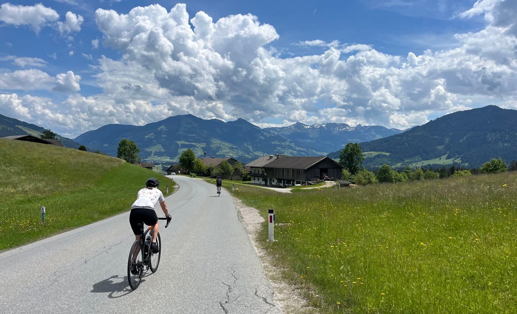
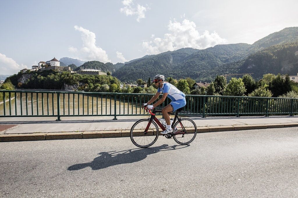
After warming up from Kufstein to Wörgl and a moderate ascent through the forest at Wörgler Berg, the Wildschönau high mountain valley opens up.
In the first township of Niederau, the road spilts. With...

Opis

After warming up from Kufstein to Wörgl and a moderate ascent through the forest at Wörgler Berg, the Wildschönau high mountain valley opens up.
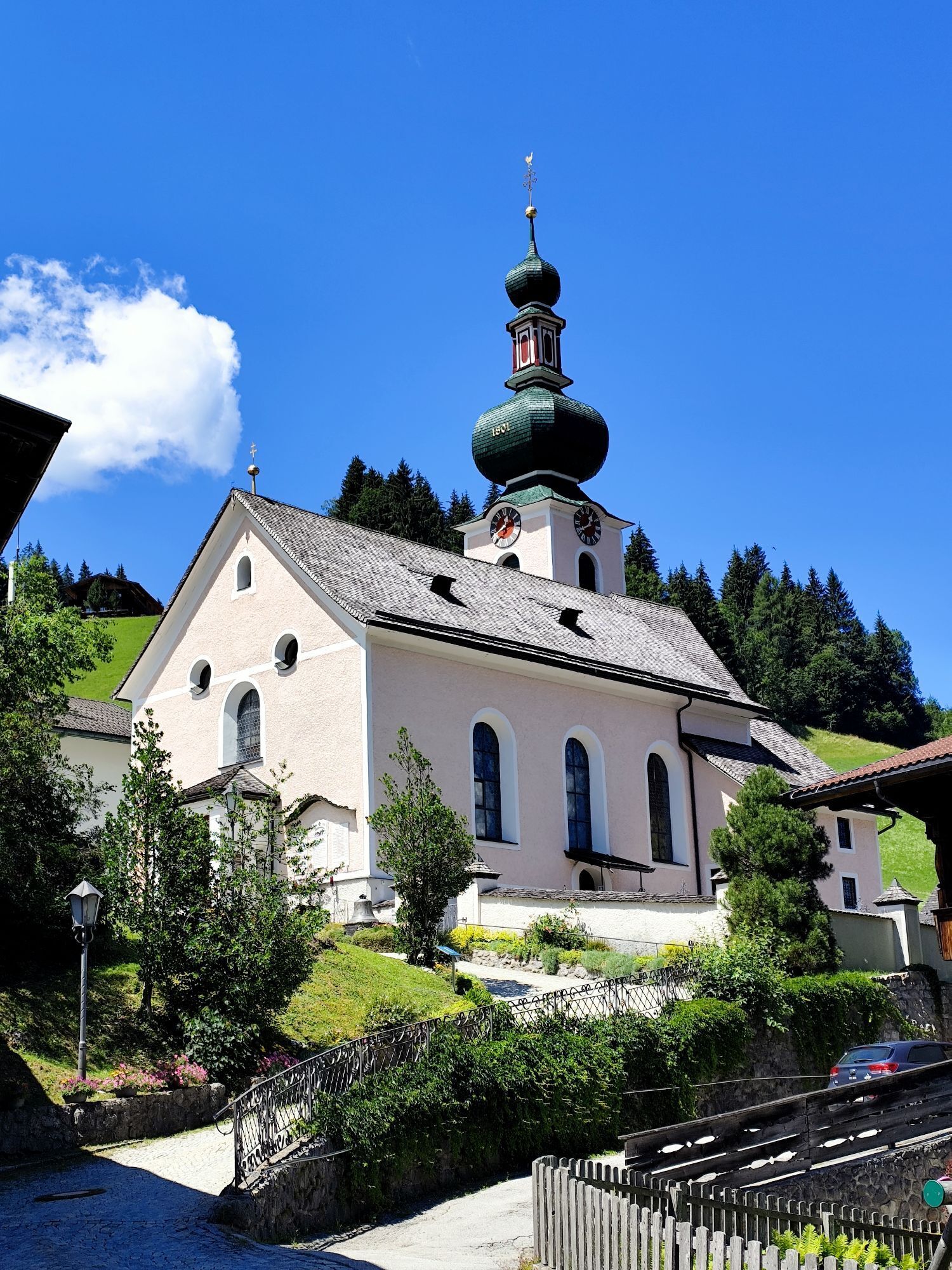
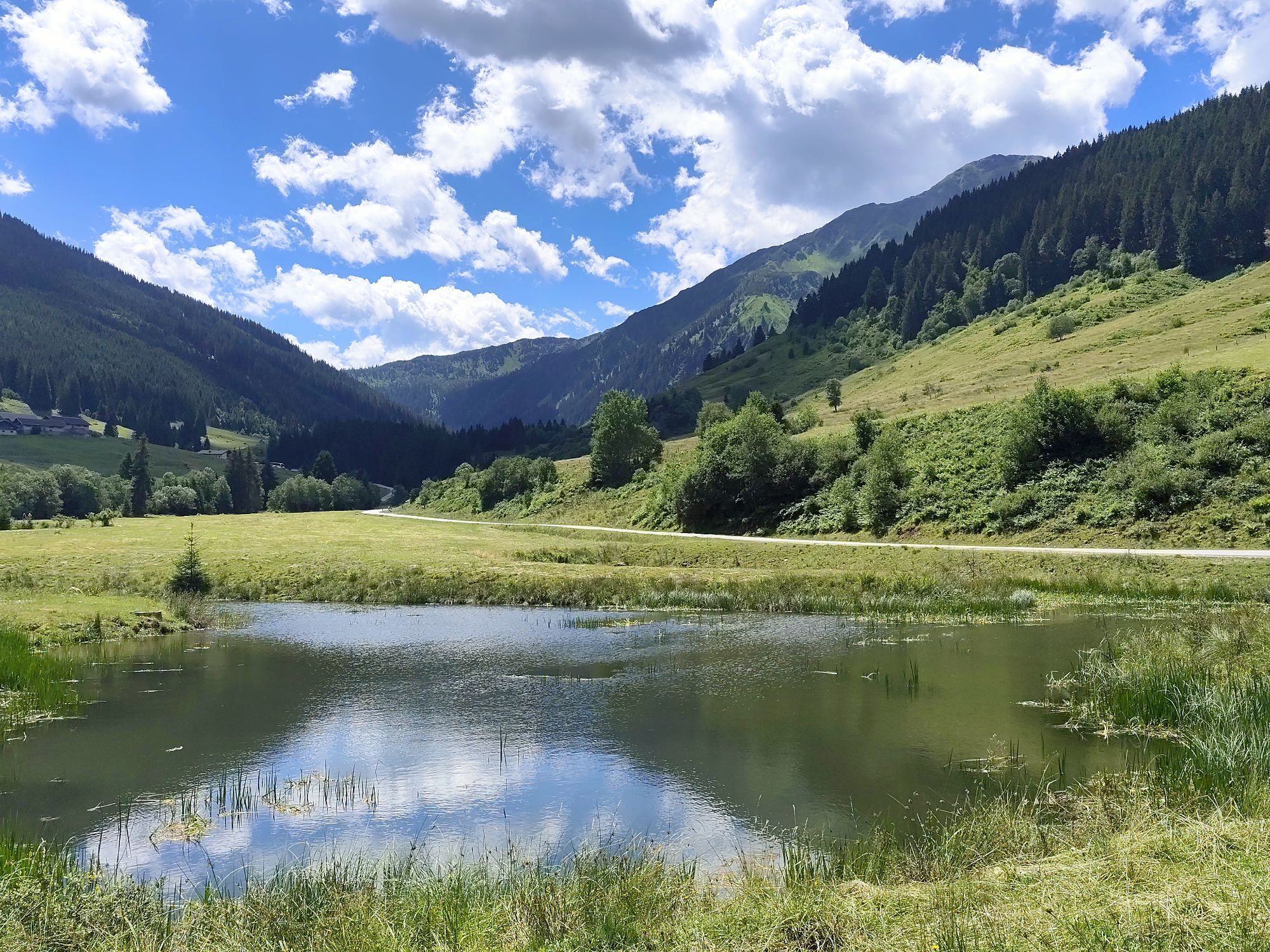
In the first township of Niederau, the road spilts. With an easy ascent you soon have Oberau in your sights and get to cycle briefly downhill and then at a leisurely pace through Auffach to the Schönangeralm at the southern end of the valley – a refreshment stop in the midst of Alpine meadows. Take the same route back to Niederau. After a rapid downhill ride, roll through Brixental valley and get to Kirchbichl on quiet and flat side roads.
There, take the underpass beneath the train station and return to Kufsteinerland via the Inn cycle path.

Pot
Pfarrkirche HeiligerGeist
(499 m)
Kraj čaščenja
14.1 km
Stadtpfarrkirche Hl. Laurentius
(513 m)
Kraj čaščenja
17.5 km
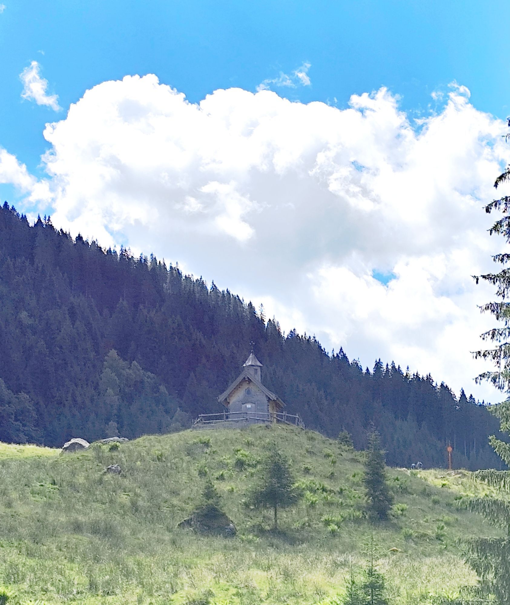
Bacherkapelle
(872 m)
Kraj čaščenja
25.3 km
Heilige Margaretha
(937 m)
Kraj čaščenja
27.0 km
Acherwieskapelle
(902 m)
Kraj čaščenja
33.4 km
Heiliger Sixtus und Oswald
(826 m)
Kraj čaščenja
52.5 km
Heldenkapelle
(515 m)
Kraj čaščenja
69.4 km
Pot
Zemljevid
06 - High mountain valley tour
srednja
Cestno kolo
81.06 km
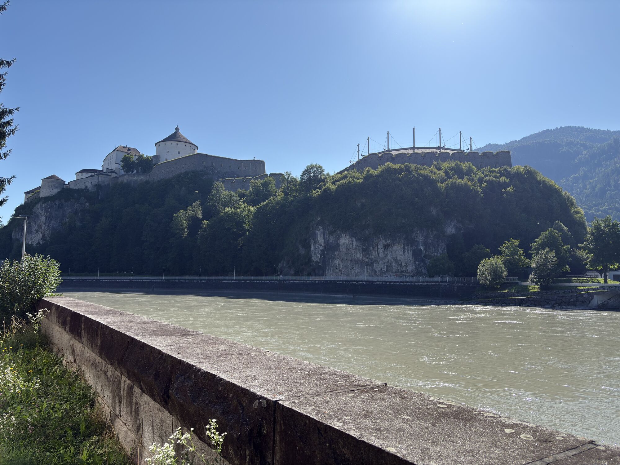
Kufstein
(487 m)
Mesto
0.0 km
Zell
(498 m)
Soseska
1.7 km
Tiroler Fliegerstube
(485 m)
Restavracija
5.0 km
Schaftenau
(510 m)
Poravnava
6.4 km
Unterlangkampfen
(502 m)
Vas
7.0 km
Oberlangkampfen
(494 m)
Vas
10.8 km
Jausenstation zum Ferchl
(492 m)
Restavracija
10.9 km
Wirtsiedlung
(498 m)
Soseska
13.7 km
Pfarrersiedlung
(499 m)
Soseska
13.9 km
Pfarrkirche HeiligerGeist
(499 m)
Kraj čaščenja
14.1 km
Angath
(499 m)
Vas
14.2 km
Bichler's Restaurant & Catering
(514 m)
Restavracija
15.8 km
Gasthaus Grattenbrücke
(513 m)
Restavracija
16.2 km
Halligalli
(514 m)
Igrišče
16.3 km
Taufkapelle
(513 m)
Kraj čaščenja
17.5 km
Stadtpfarrkirche Hl. Laurentius
(513 m)
Kraj čaščenja
17.5 km
Wörgl
(513 m)
Mesto
17.8 km
Hennersberg
(718 m)
Poravnava
20.3 km
Bacherwinkl
(734 m)
Poravnava
22.6 km
Niederau
(826 m)
Vas
23.9 km
Wildenbach
(837 m)
Soseska
24.2 km
Ungerfeld
(842 m)
Soseska
24.3 km
Bacherkapelle
(872 m)
Kraj čaščenja
25.3 km
Bach
(871 m)
Soseska
25.4 km
Alpenhotel Wildschönau
(876 m)
Restavracija
25.6 km
Oberau
(936 m)
Vas
26.6 km
Heilige Margaretha
(937 m)
Kraj čaščenja
27.0 km
Kirchen
(929 m)
Soseska
27.1 km
Dorf
(890 m)
Soseska
27.9 km
Dorferwirt
(892 m)
Restavracija
27.9 km
Mühltal
(803 m)
Poravnava
29.7 km
Tegelanger
(817 m)
Poravnava
31.1 km
Auffach
(875 m)
Vas
31.5 km
Platzl
(849 m)
Restavracija
31.8 km
Echoplatze
(856 m)
Miza za piknik
32.1 km
Wies
(901 m)
Poravnava
33.4 km
Acherwieskapelle
(902 m)
Kraj čaščenja
33.4 km
Schwarzenau
(941 m)
Poravnava
34.2 km
Melkstatt
(957 m)
Poravnava
34.4 km
Schönangeralm
(1,172 m)
Restavracija
38.0 km
Melkstatt
(957 m)
Poravnava
41.7 km
Schwarzenau
(941 m)
Poravnava
42.1 km
Acherwieskapelle
(902 m)
Kraj čaščenja
42.7 km
Wies
(901 m)
Poravnava
42.8 km
Echoplatze
(856 m)
Miza za piknik
44.1 km
Platzl
(849 m)
Restavracija
44.5 km
Auffach
(875 m)
Vas
44.6 km
Tegelanger
(817 m)
Poravnava
45.2 km
Mühltal
(803 m)
Poravnava
46.5 km
Dorf
(890 m)
Soseska
48.1 km
Dorferwirt
(892 m)
Restavracija
48.3 km
Kirchen
(929 m)
Soseska
49.0 km
Heilige Margaretha
(937 m)
Kraj čaščenja
49.2 km
Oberau
(936 m)
Vas
49.3 km
Alpenhotel Wildschönau
(876 m)
Restavracija
50.4 km
Bach
(871 m)
Soseska
50.7 km
Bacherkapelle
(872 m)
Kraj čaščenja
50.8 km
Wildenbach
(837 m)
Soseska
51.7 km
Ungerfeld
(842 m)
Soseska
51.8 km
Niederau
(826 m)
Vas
52.2 km
Hotel Austria
(829 m)
Restavracija
52.5 km
Heiliger Sixtus und Oswald
(826 m)
Kraj čaščenja
52.5 km
Marchbach
(836 m)
Soseska
52.7 km
Weichsölln
(828 m)
Poravnava
55.9 km
Kühle Luft
(595 m)
Poravnava
58.5 km
Hopfgarten im Brixental
(603 m)
Mesto
58.9 km
Grieswirt
(572 m)
Restavracija
61.6 km
Einöden
(559 m)
Poravnava
63.0 km
Luech
(553 m)
Vas
63.9 km
Wörgler Boden
(535 m)
Soseska
65.4 km
Bruckhäusl
(534 m)
Vas
65.6 km
Bruckhäuslwirt
(534 m)
Restavracija
65.6 km
Boden
(528 m)
Poravnava
66.1 km
Gasthof Oberländer
(513 m)
Restavracija
68.8 km
Oberndorf
(514 m)
Poravnava
68.9 km
Kirchbichl
(516 m)
Vas
69.3 km
Drei Grafen
(518 m)
Restavracija
69.4 km
Heldenkapelle
(515 m)
Kraj čaščenja
69.4 km
Oberlangkampfen
(494 m)
Vas
71.4 km
Endach
(501 m)
Soseska
78.8 km
Kufstein
(487 m)
Mesto
81.0 km
Informacije o turneji

An easy tour proceeding in a southerly direction through little Tyrolean villages and a turning point that tempts you to stay for a while.

Tehnologija
n.a.
Stanje
2 / 6
Pokrajina
4 / 6
Izkušnje
n.a.
Najboljši letni čas
Jan
Feb
Mar
Apr
Maj
Jun
Jul
Avg
Sep
Okt
Nov
Dec
Avtor
Zagotavlja Tourismusverband Kufsteinerland
Skupna turneja
Zemljevid
06 - High mountain valley tour
srednja
Cestno kolo
81.06 km
Napaka
Zgodila se je napaka. Prosimo, poskusite znova.
Oprema

Cycling helmet, comfortable cycling clothing, change of clothes, wind protection, cycling gloves, possibly rucksack with water bottle and food, first aid equipment, possibly service/repair kit, cycling map, tour description and information material (GPX track), ID card, insurance card, cash

Informacije o prihodu
Prihod

From the Inntal motorway A12, take the Kufstein Nord exit. 

Javni prevoz

Kufstein main railway station is only a few minutes' walk from the starting point.

Parkirišče

Kufstein centre

Še ni pregledov
Napišite pregled

Mnenja pomagajo drugim uporabnikom pri izbiri naslednje pustolovščine. Ocenite samo izlet, ne pa tudi vremena ali prigrizka.

Izberite eno od zvezdic, da ocenite ogled
Slaba turneja
Šibka turneja
Povprečna turneja
Dobra tura
Odlična tura
Pohodništvo in sledenje

Pohodništvo in sledenje

Pohodništvo in sledenje
Zaradi več kot 550.000 predlogov izletov, podrobnih zemljevidov in intuitivnega načrtovanja poti je aplikacija obvezna oprema za vse ljubitelje narave.
bergfex