







Road cycling tour Timmelsjoch High Alpine Road - Sölden - Pfelders

Stopnja težavnosti: 5
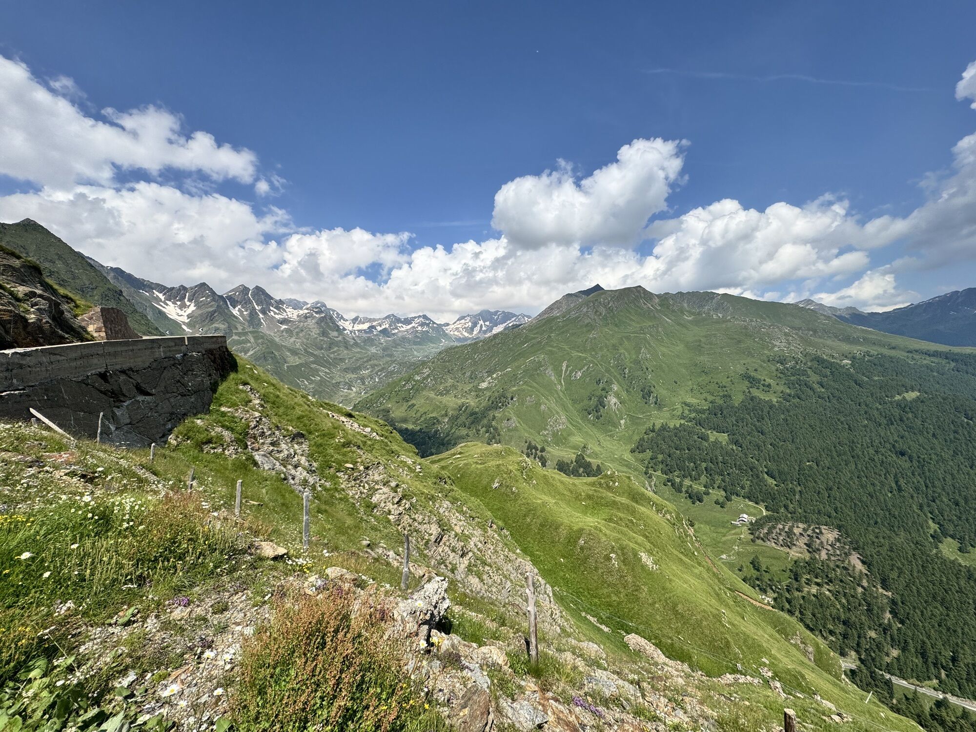
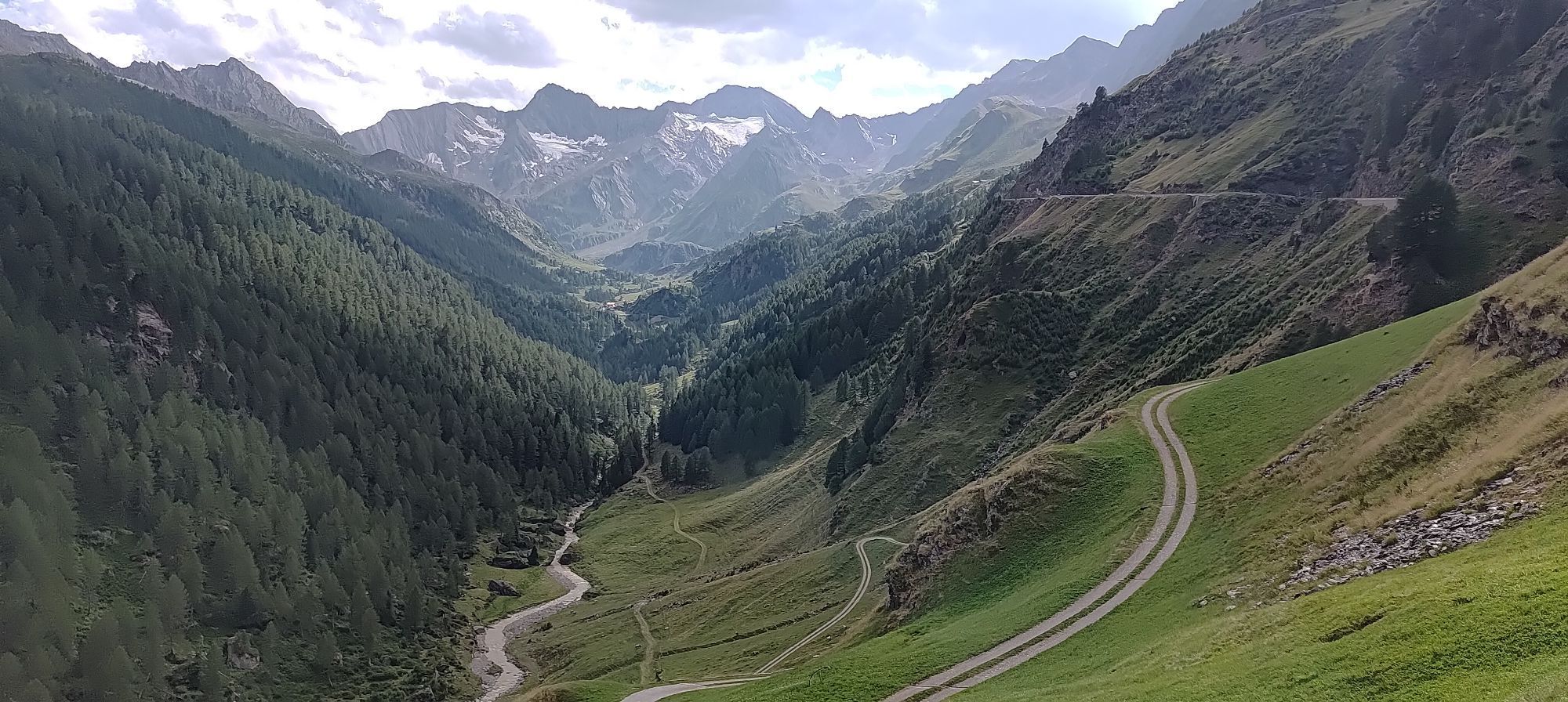
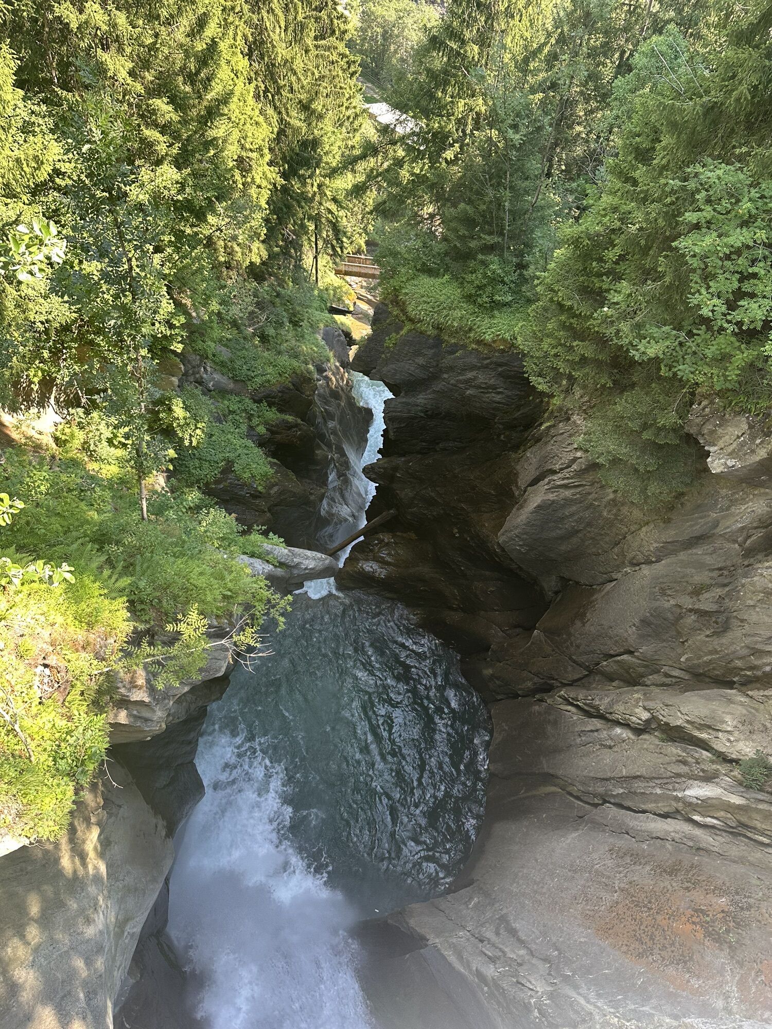
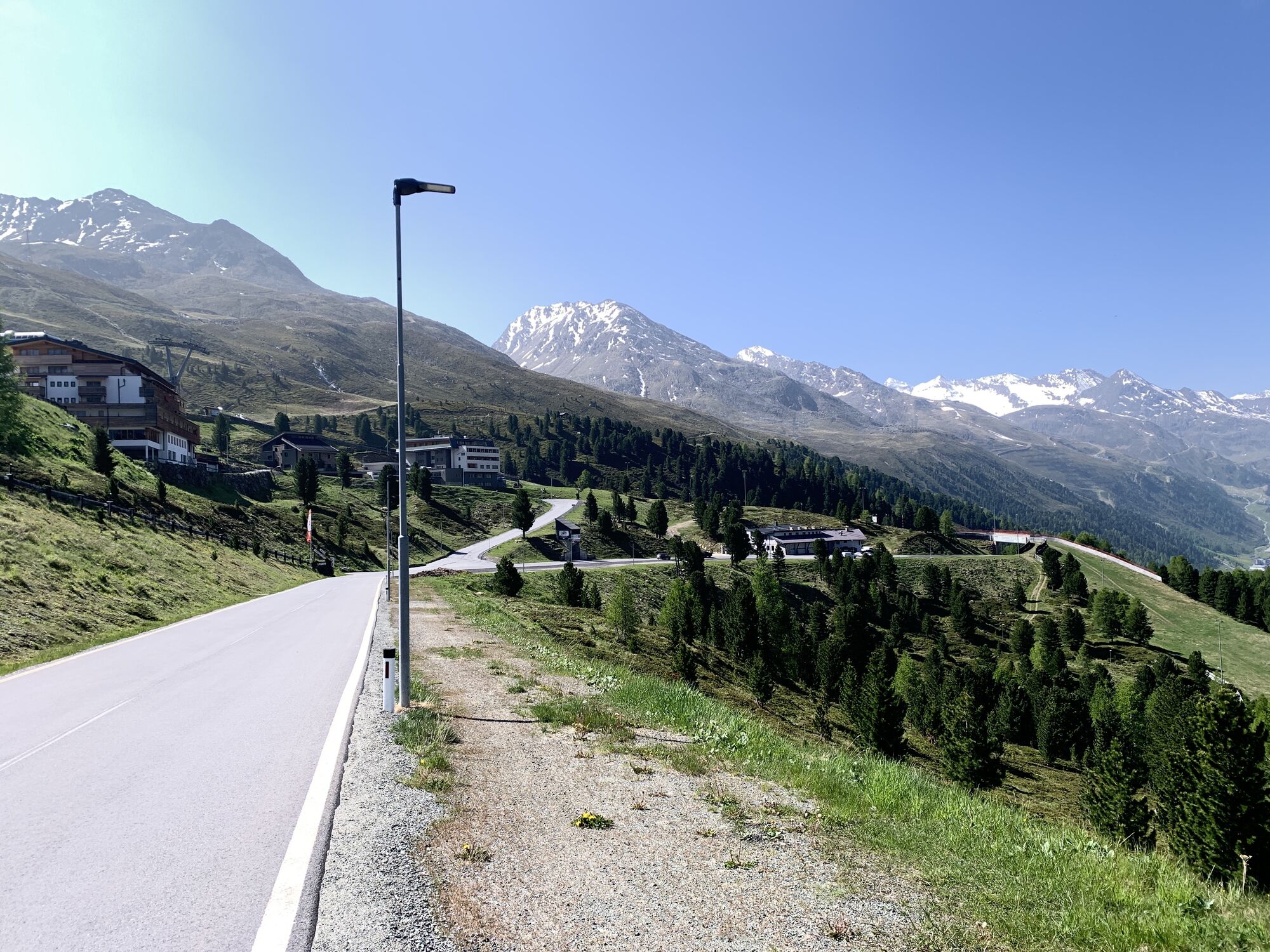
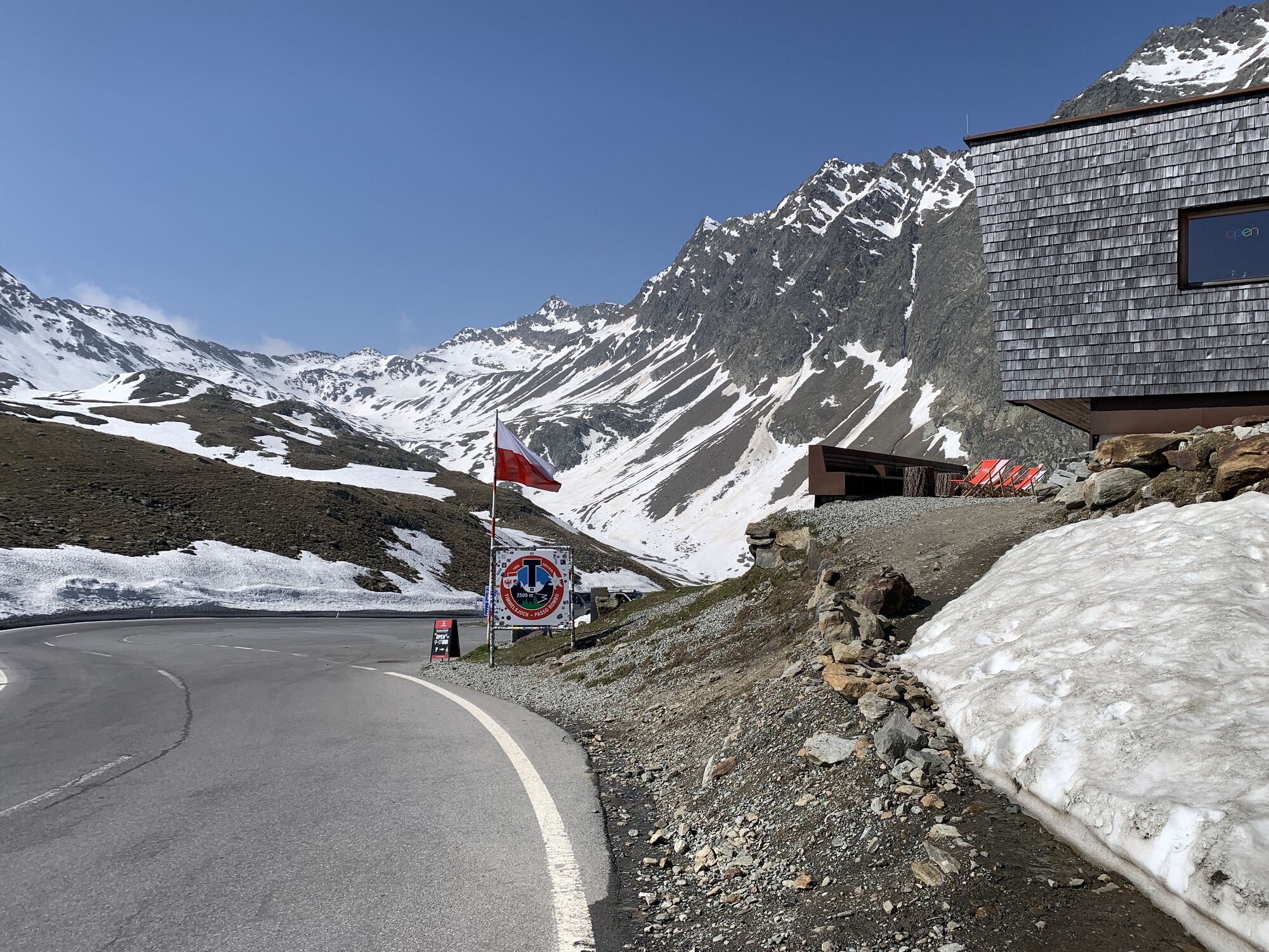
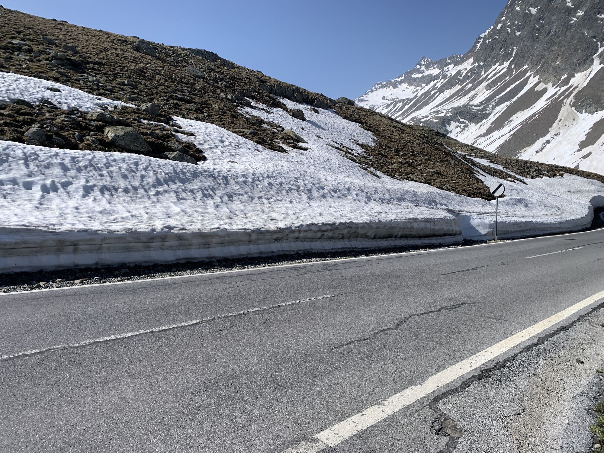
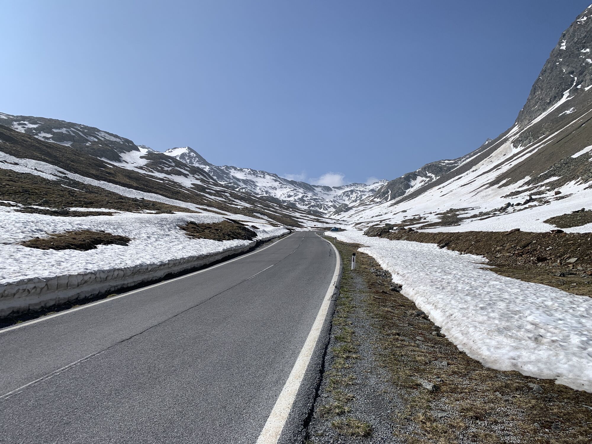
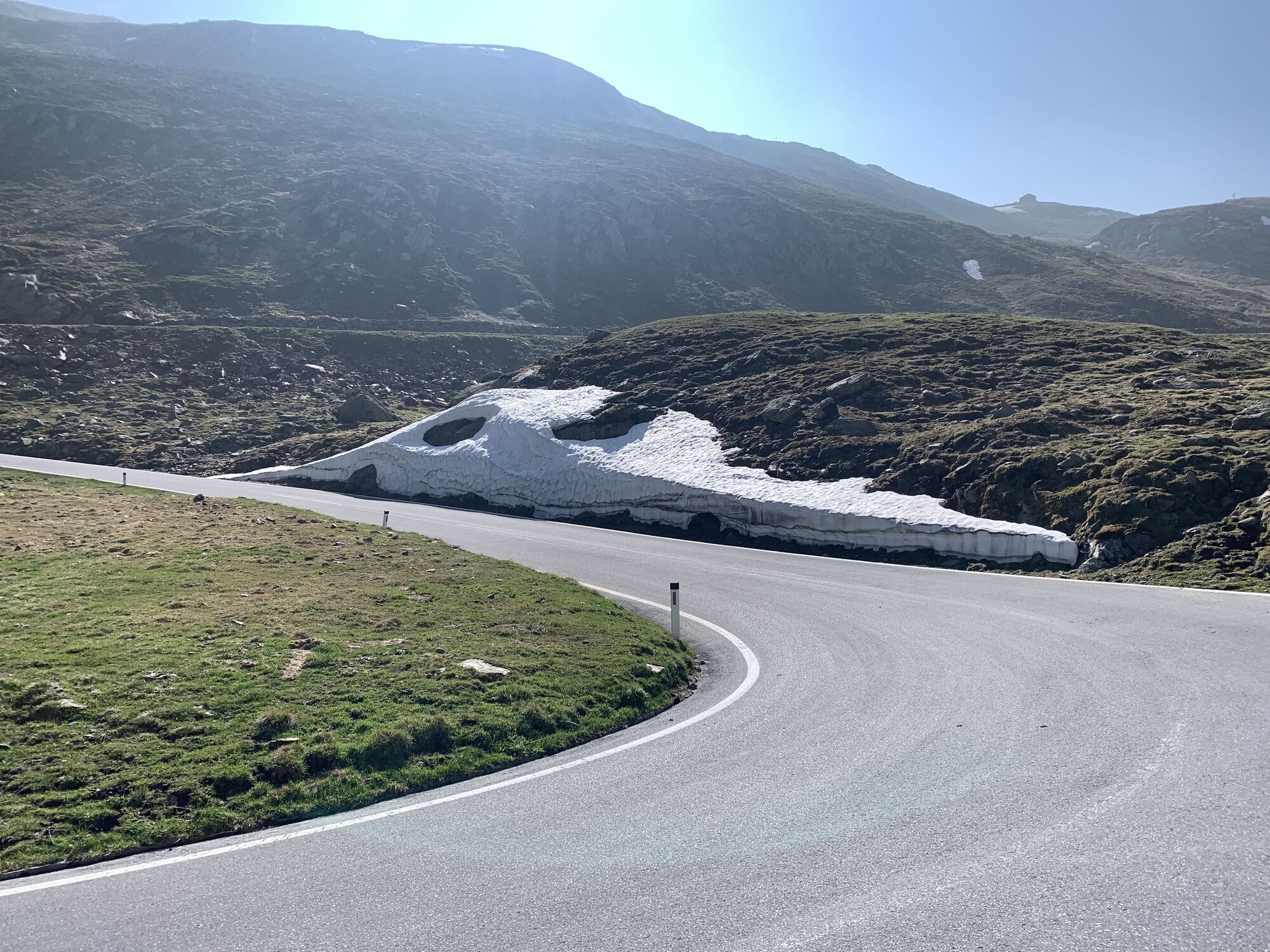
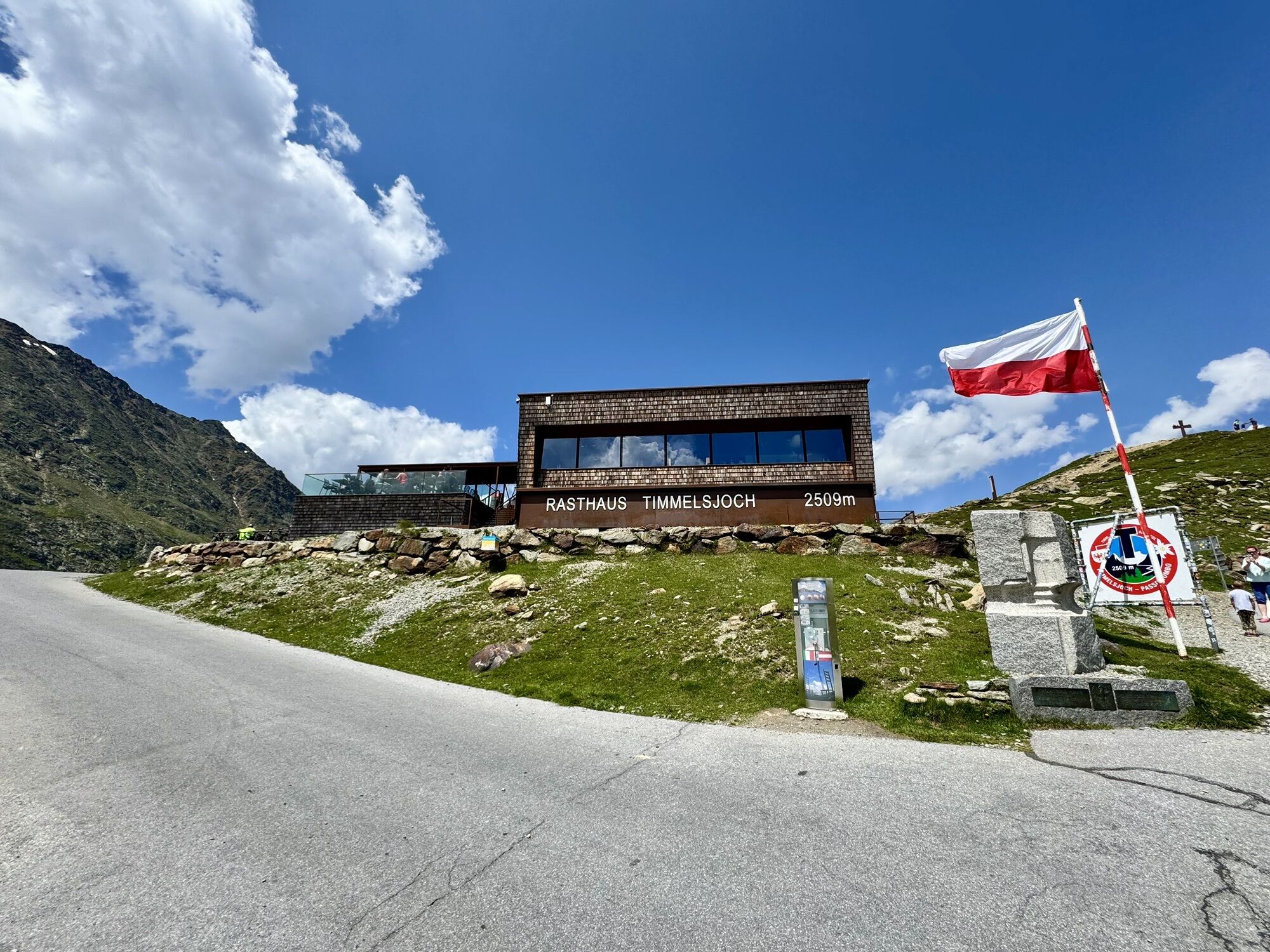
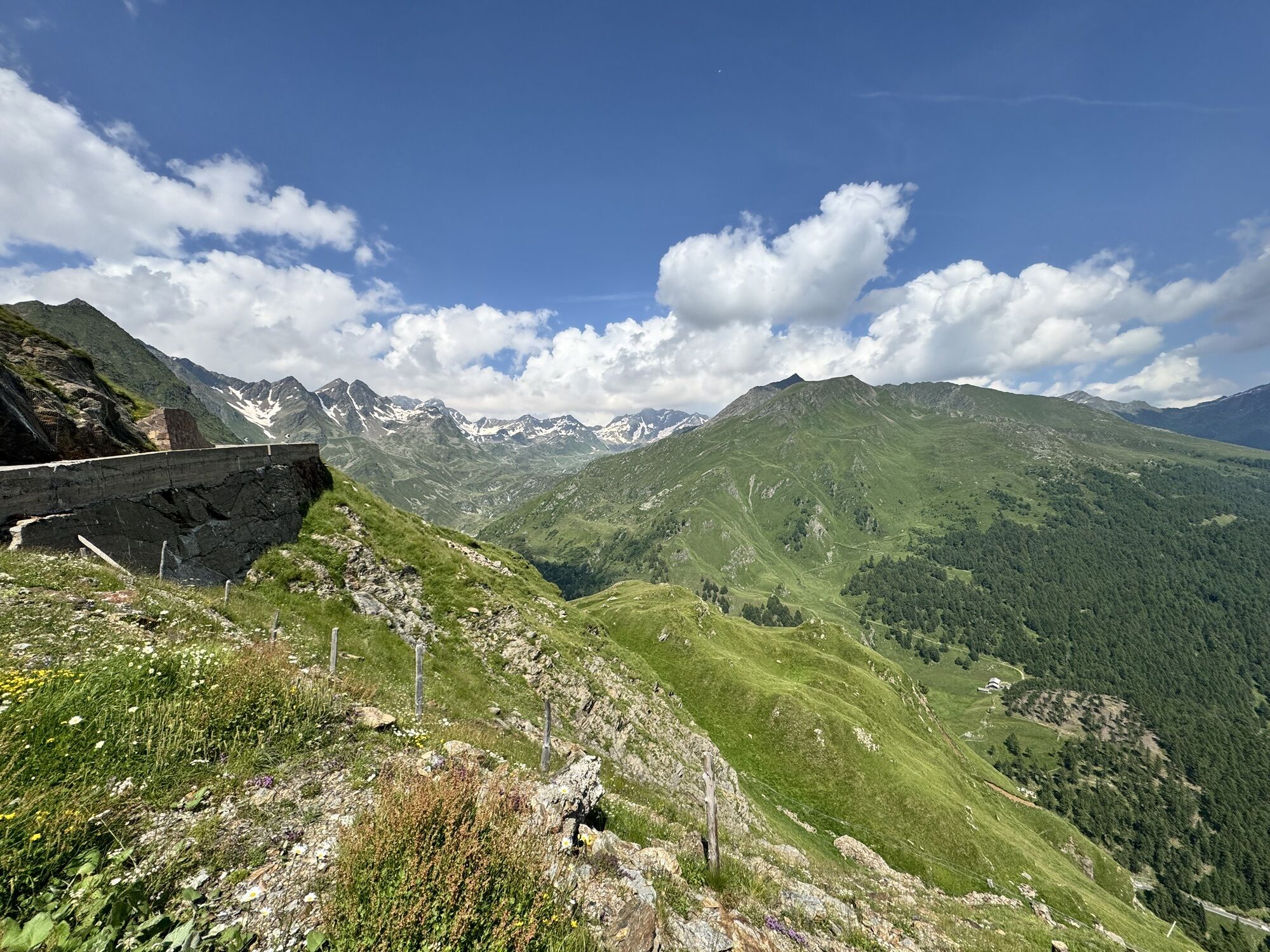
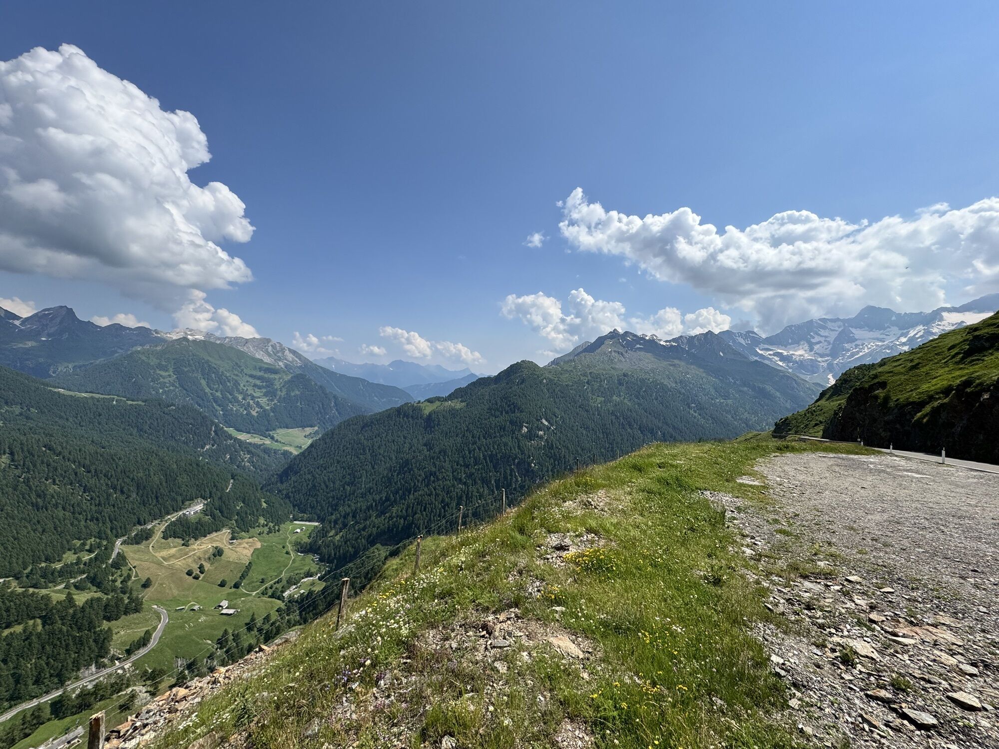
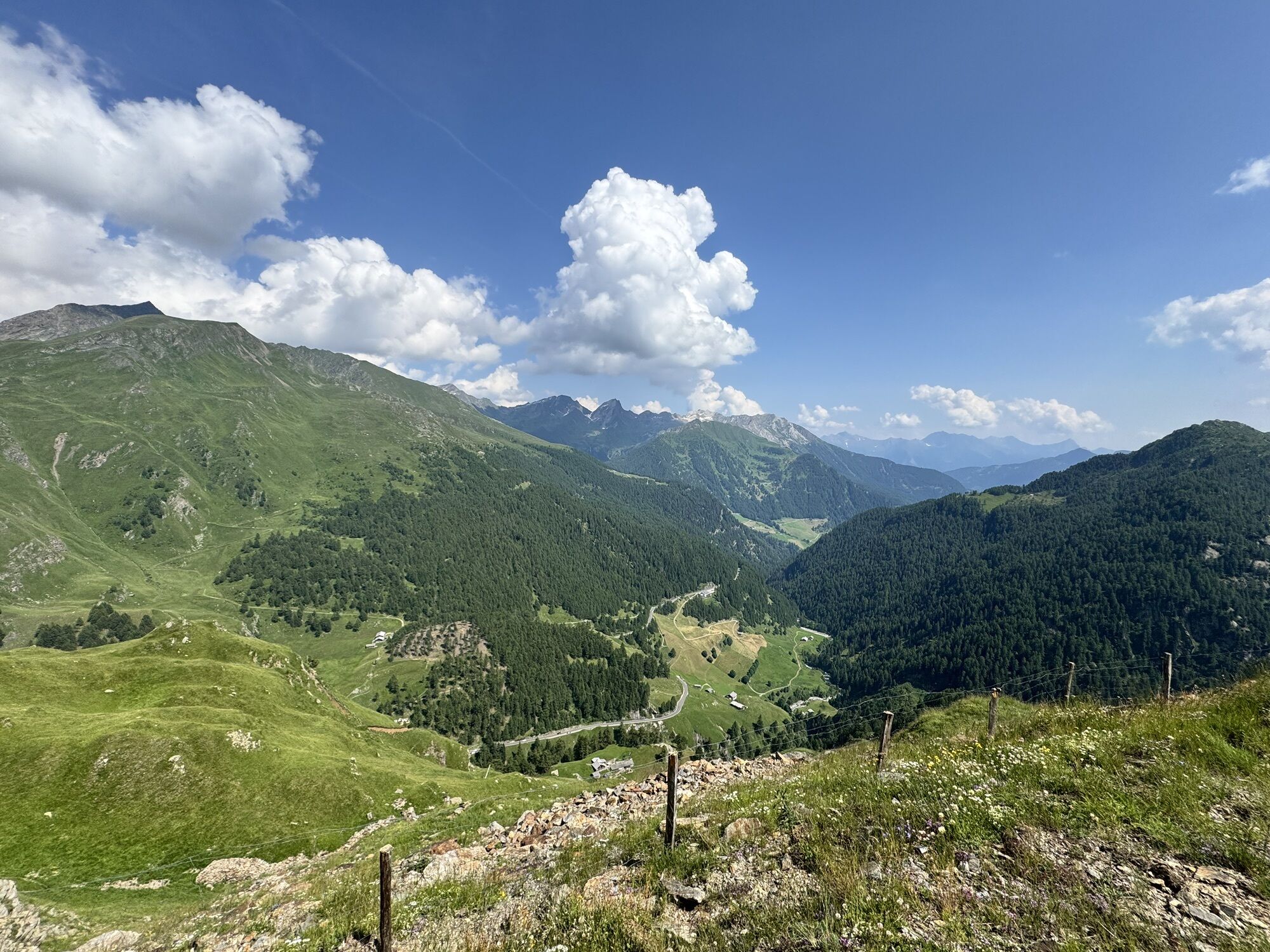
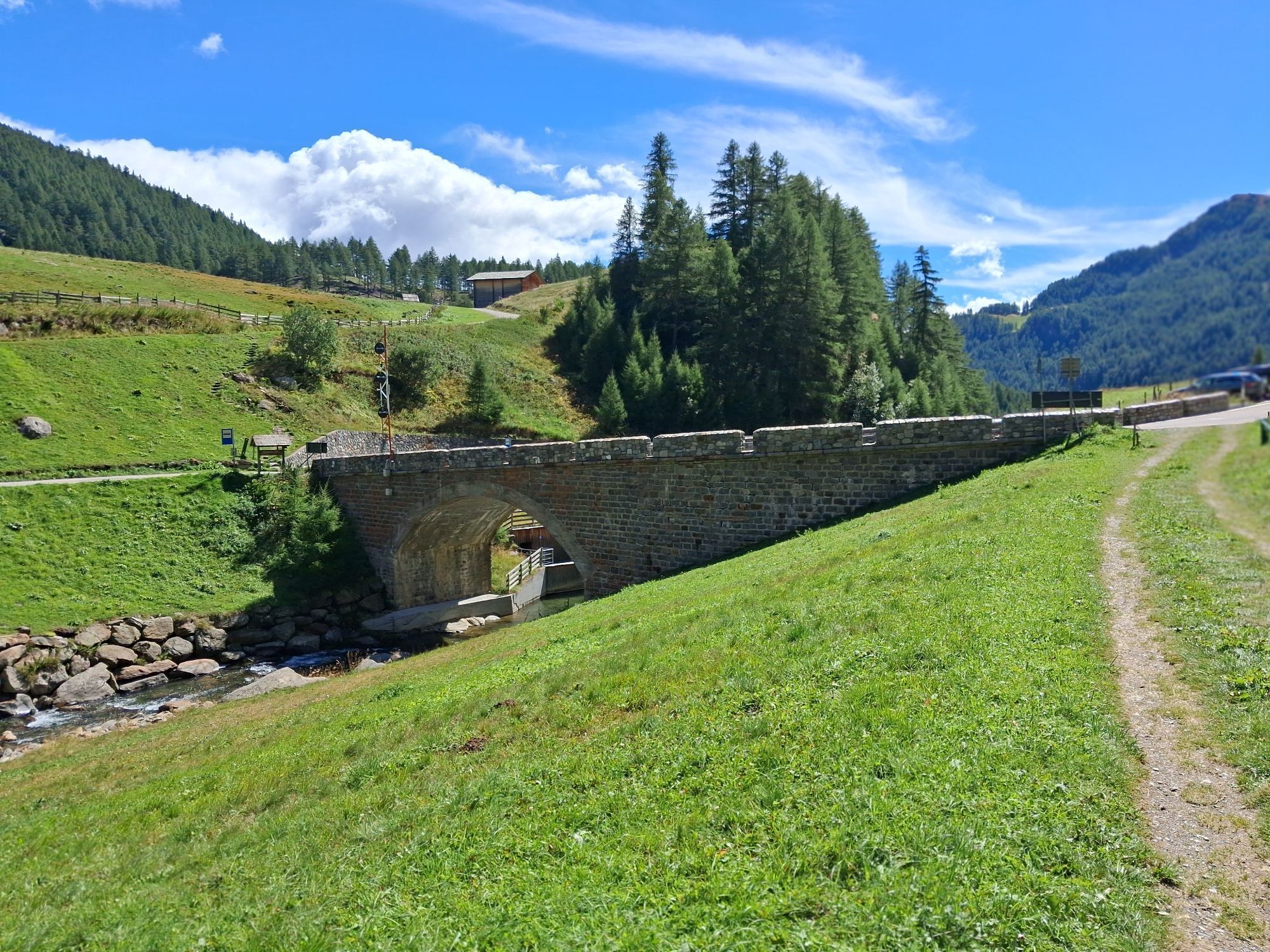

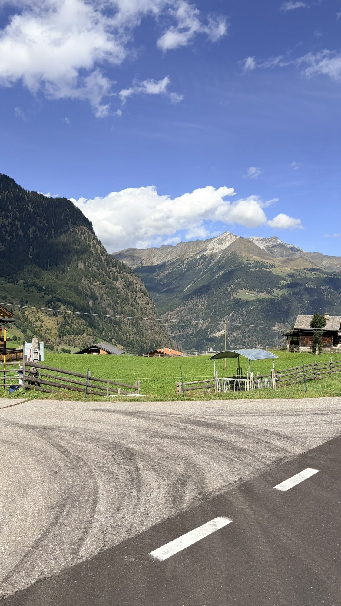
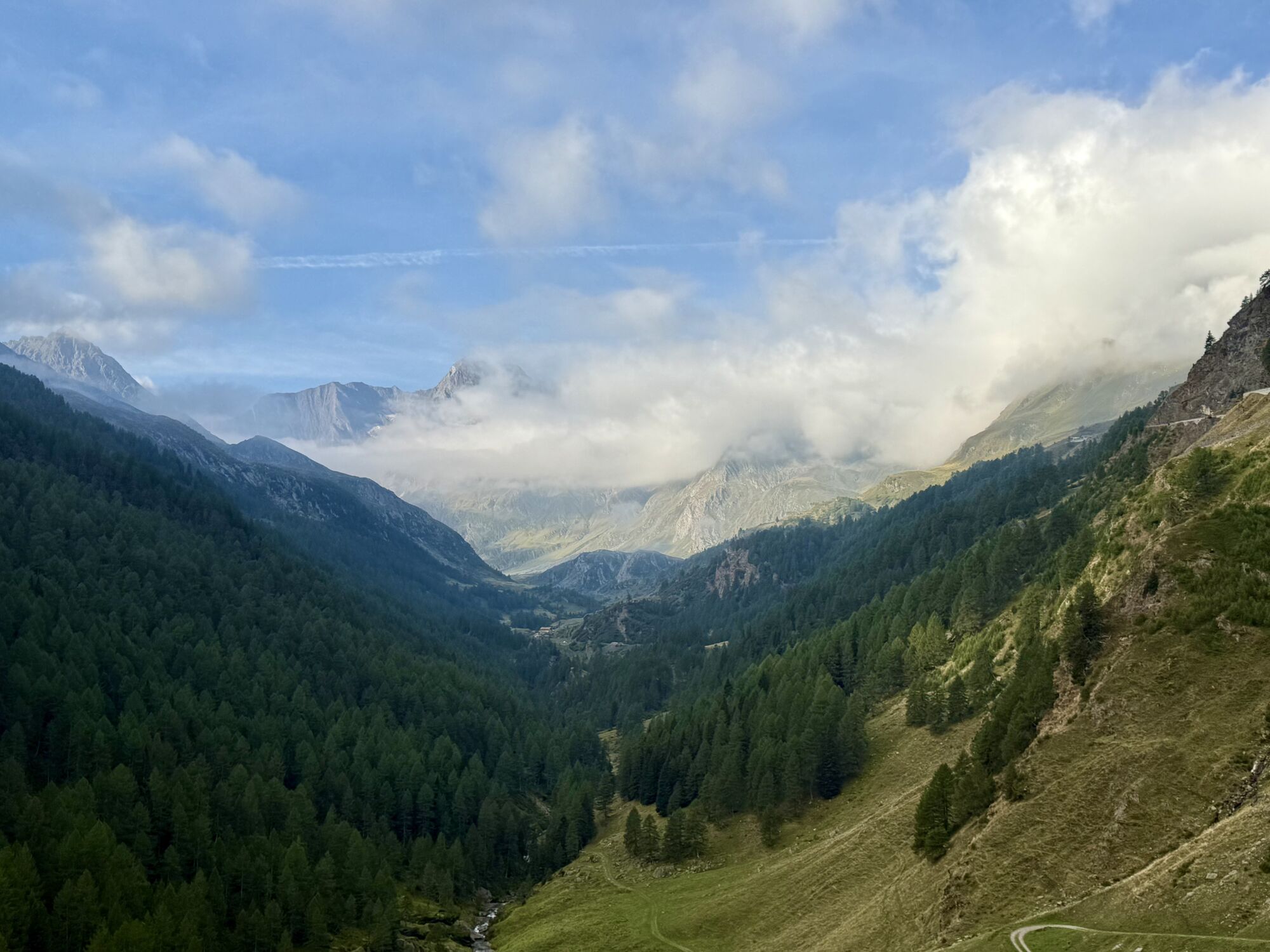

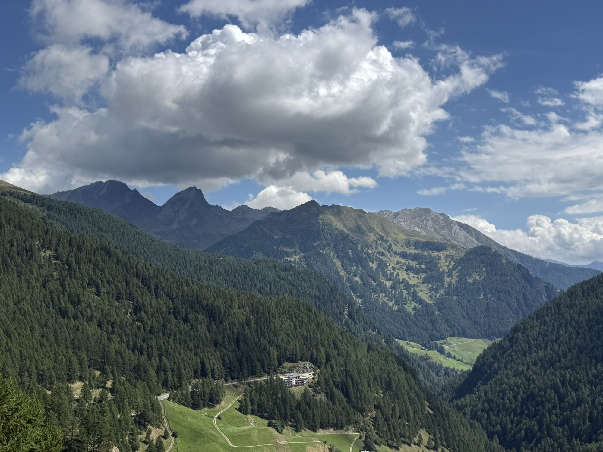
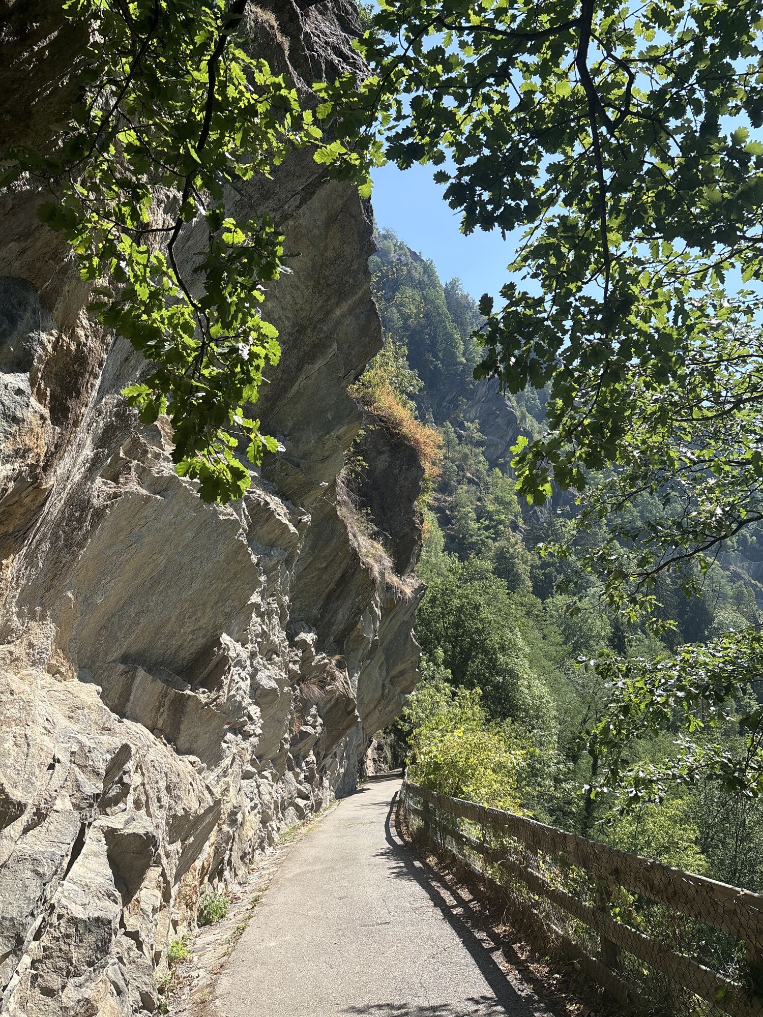
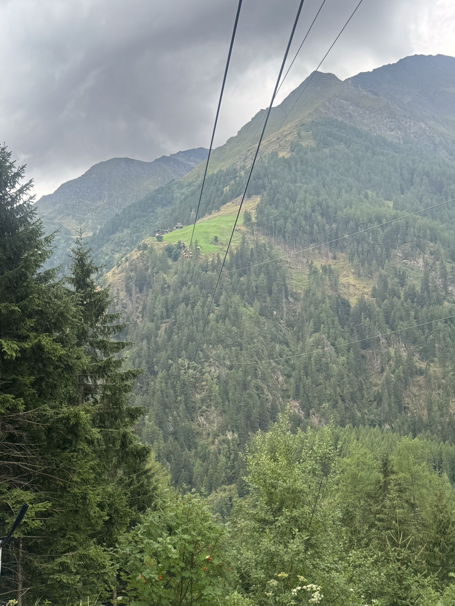
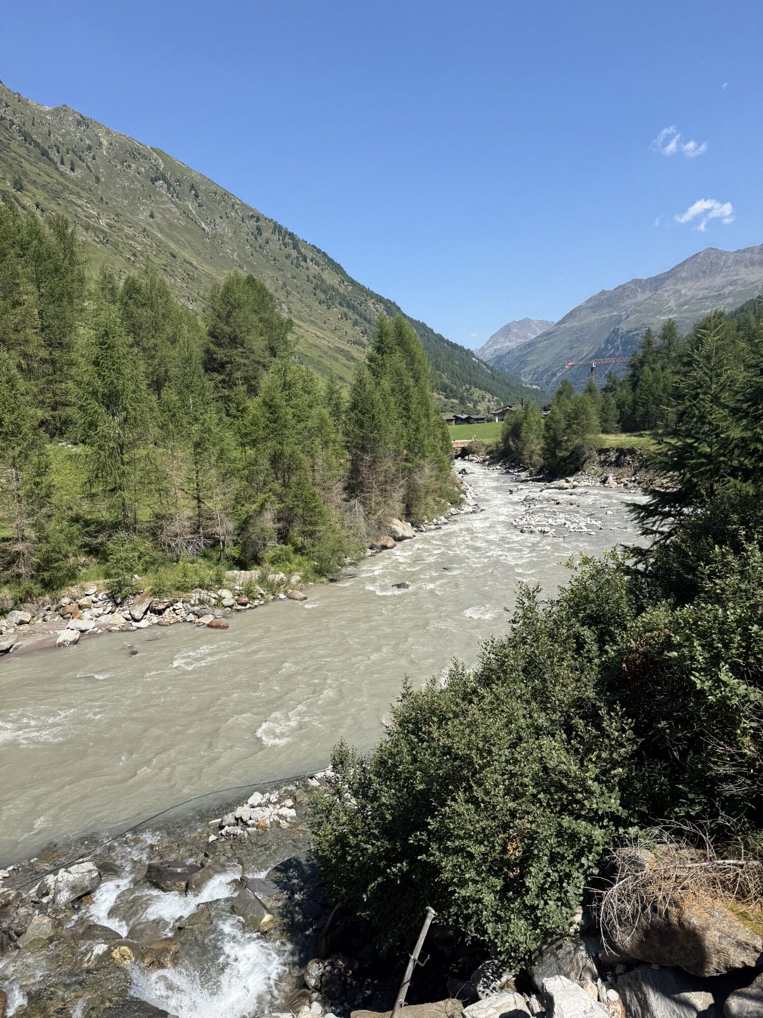
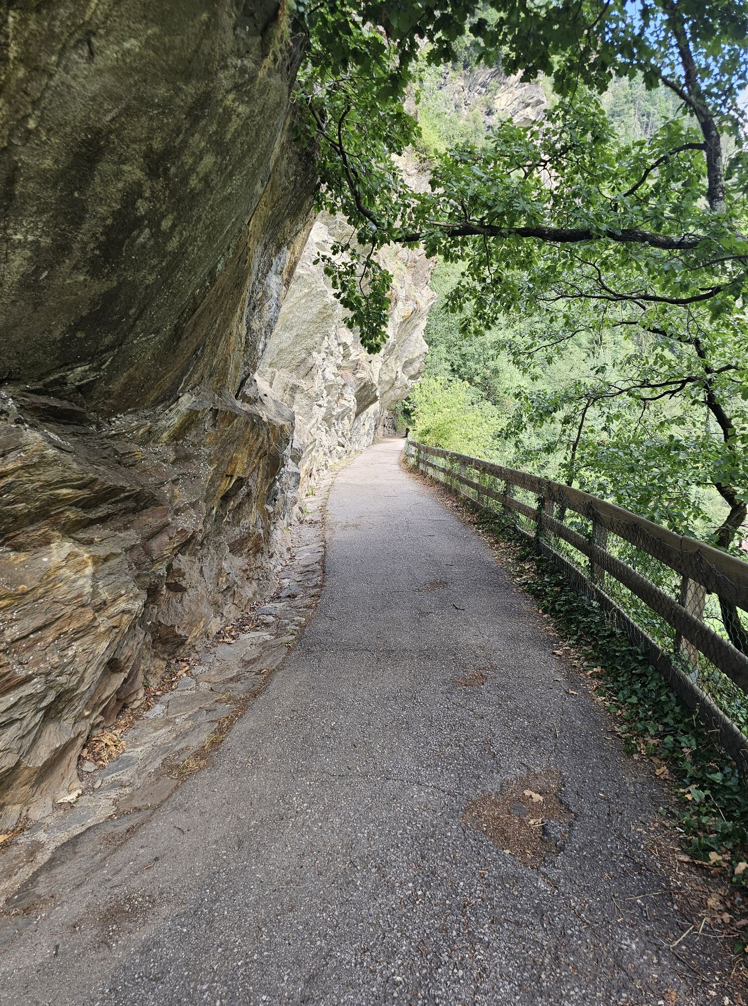
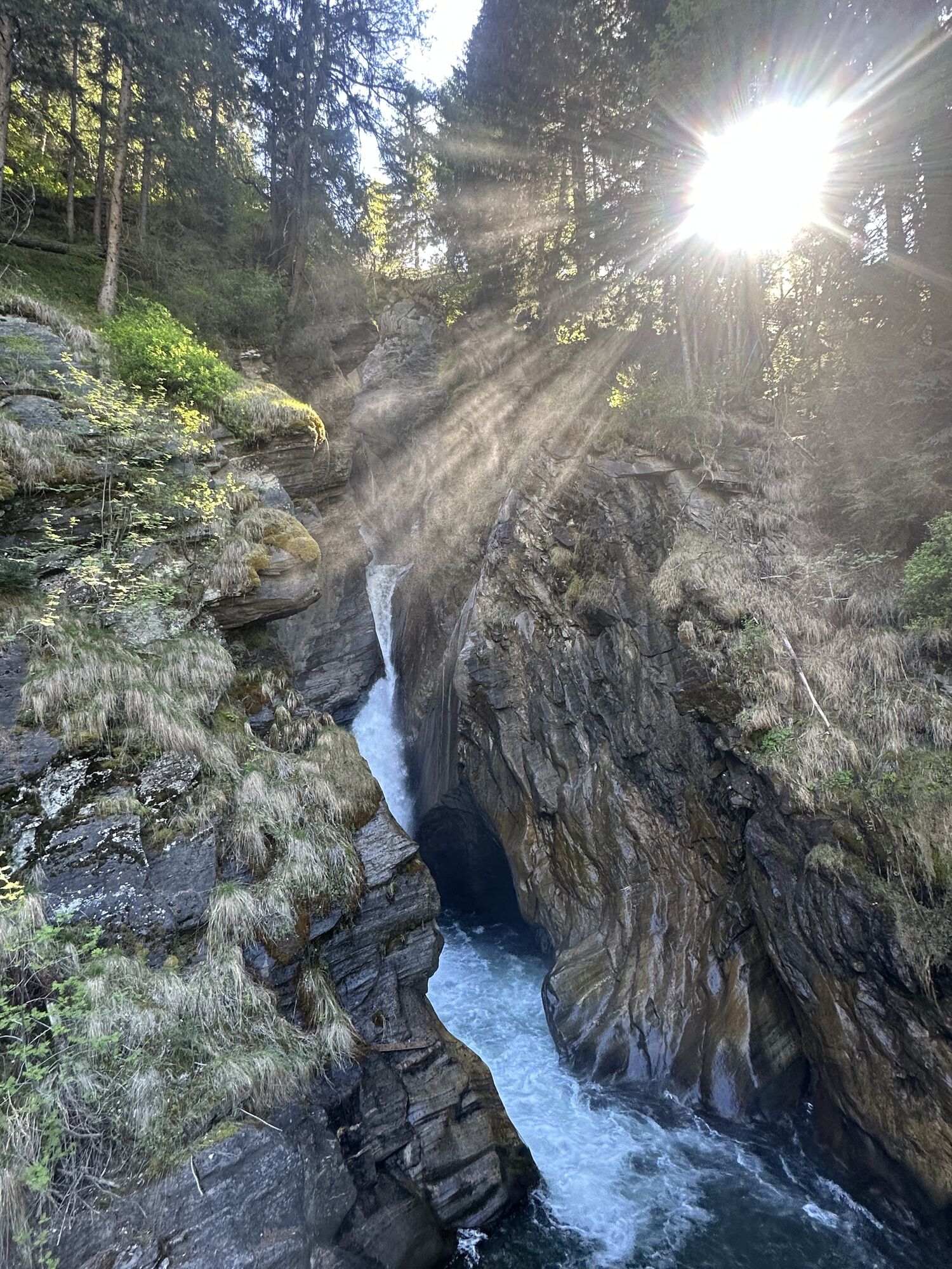
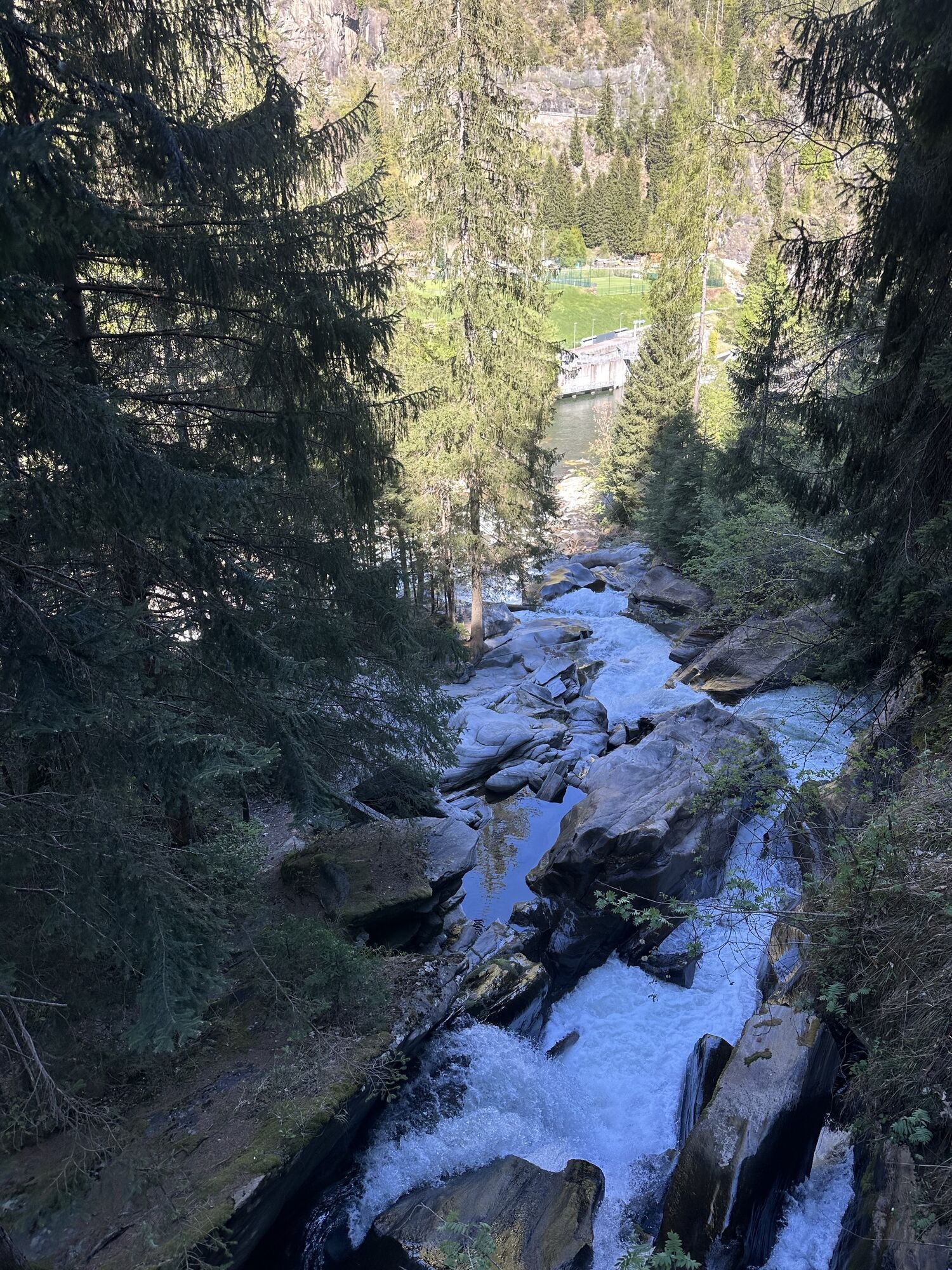
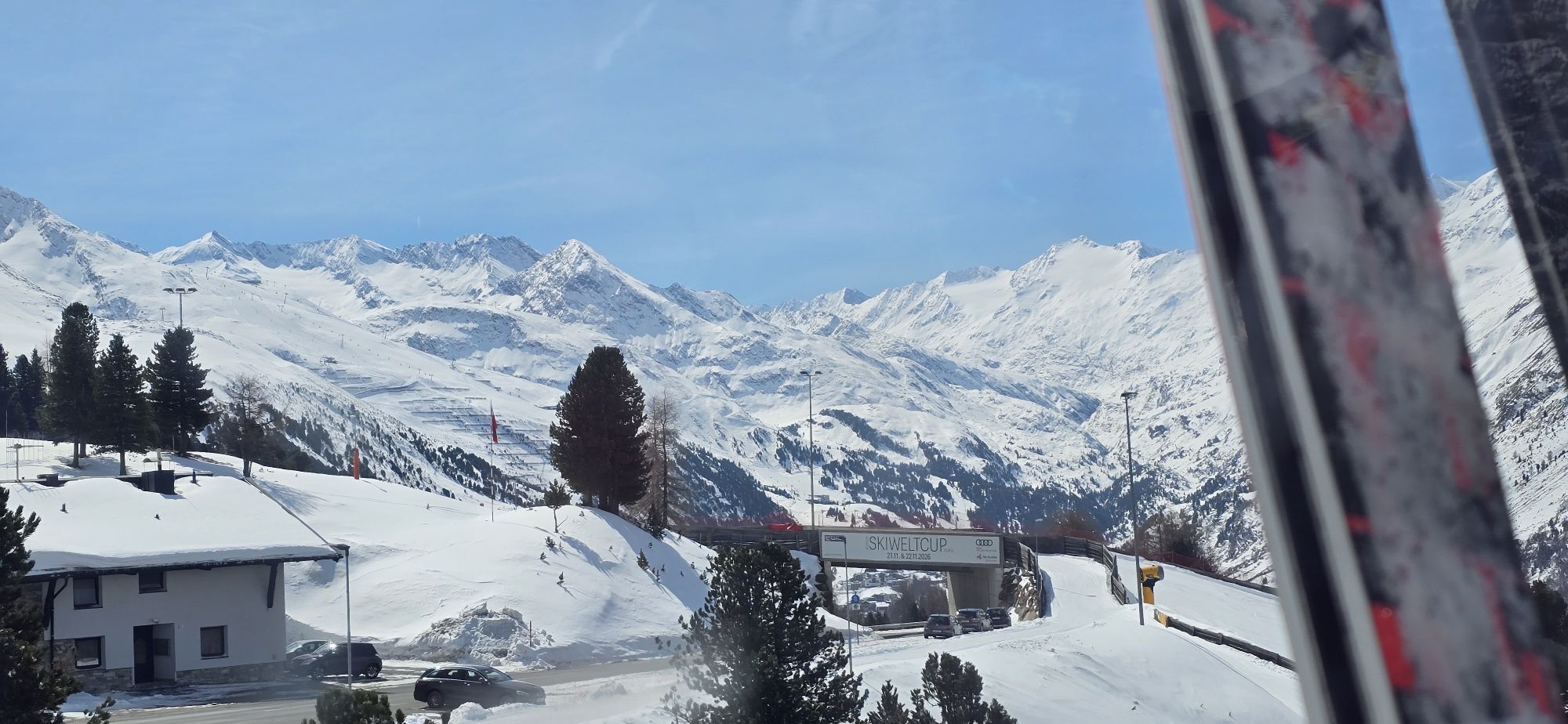
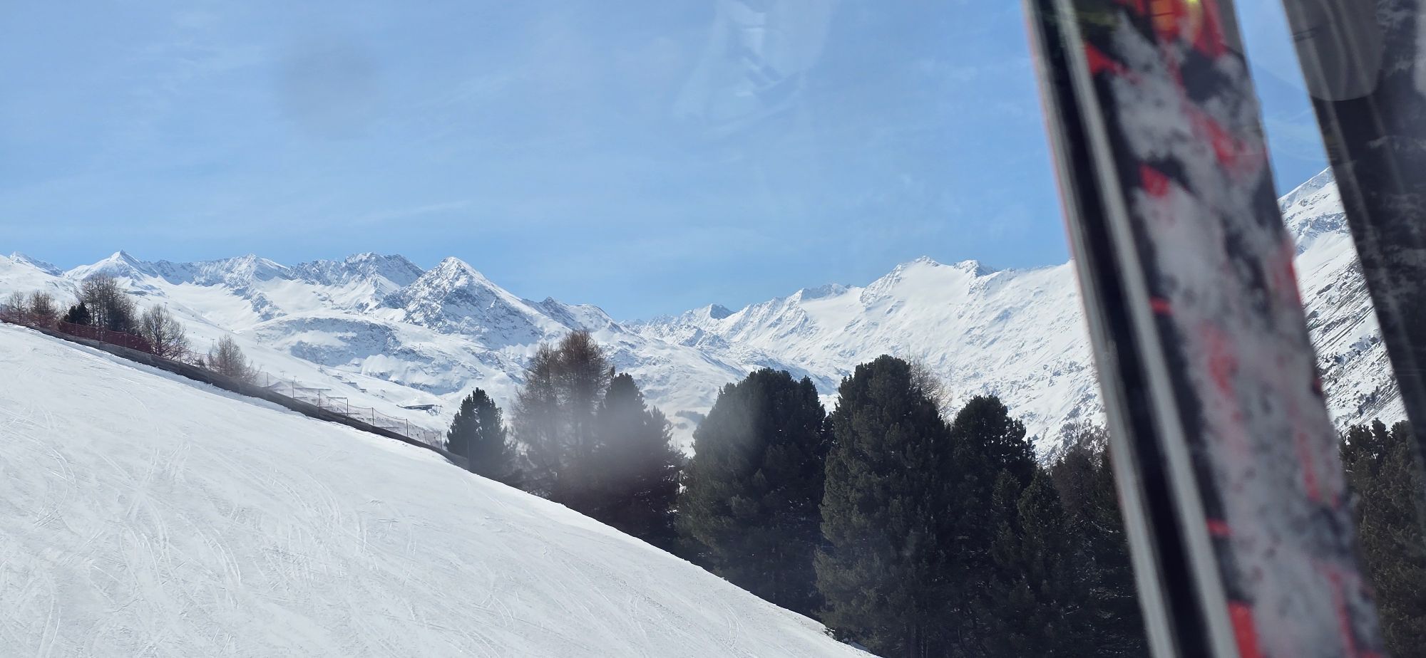
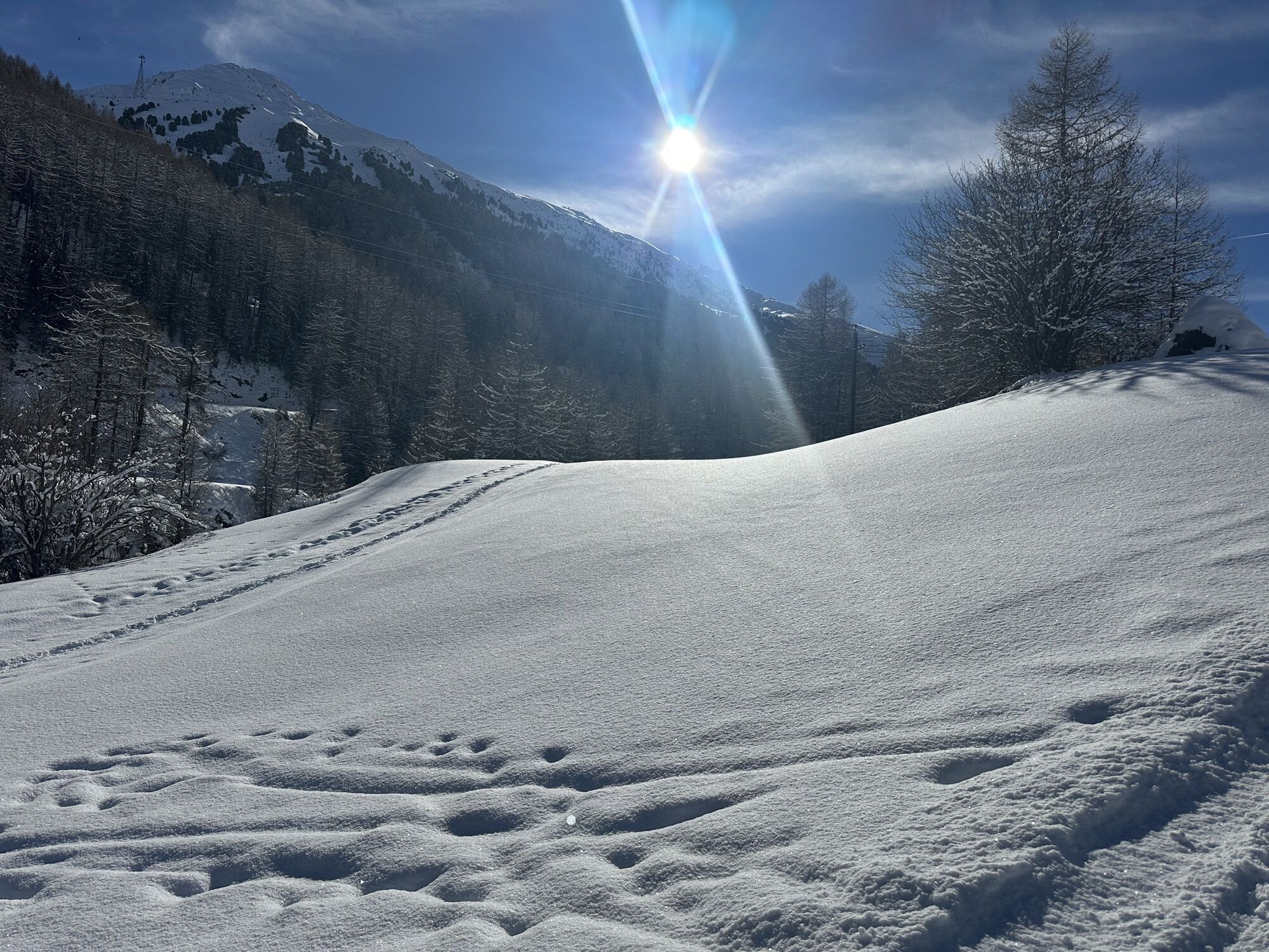
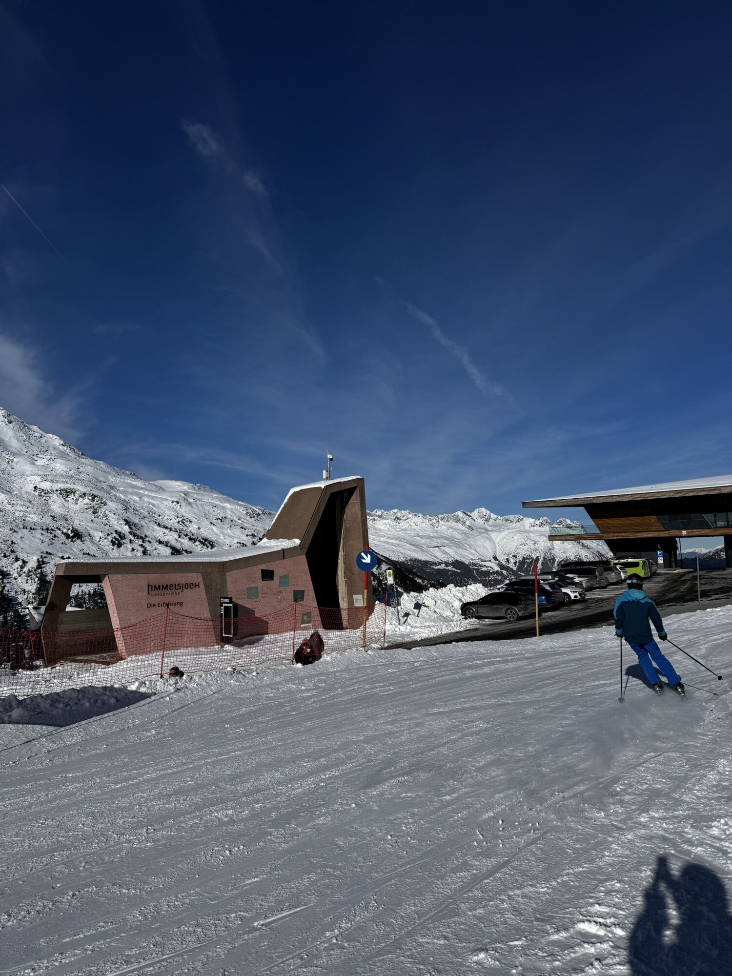
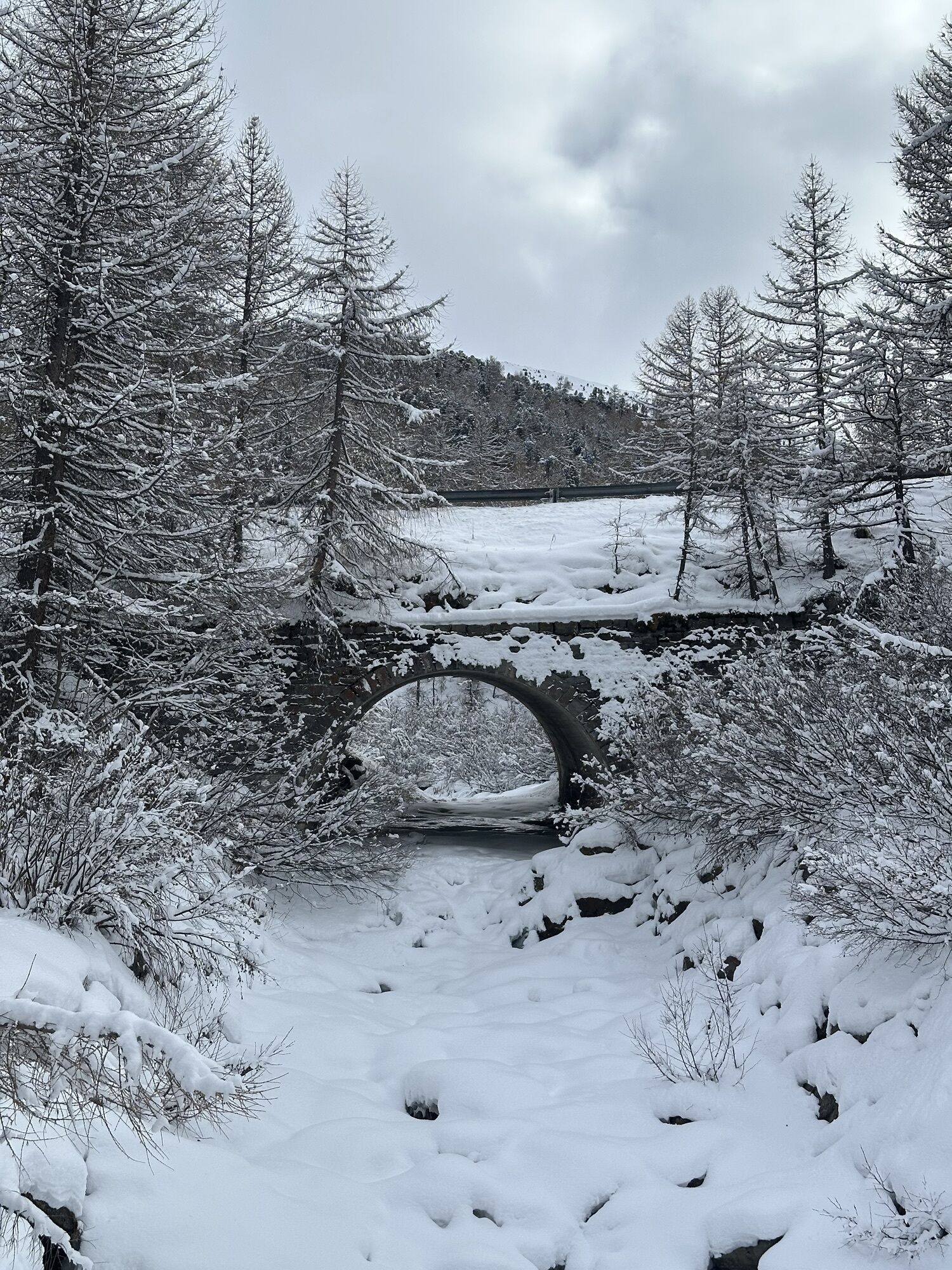
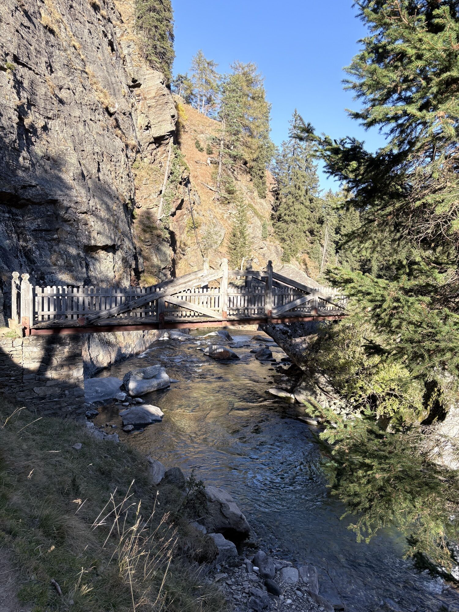
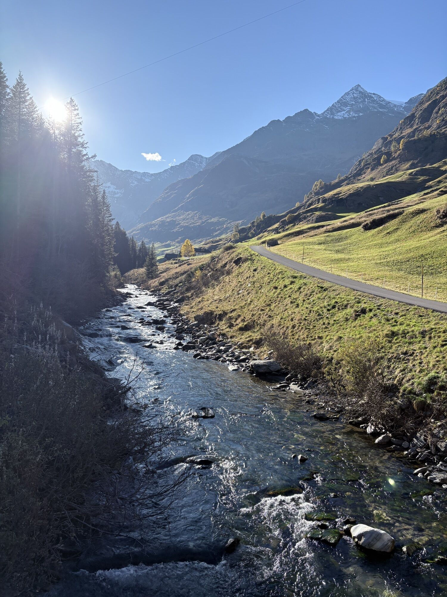
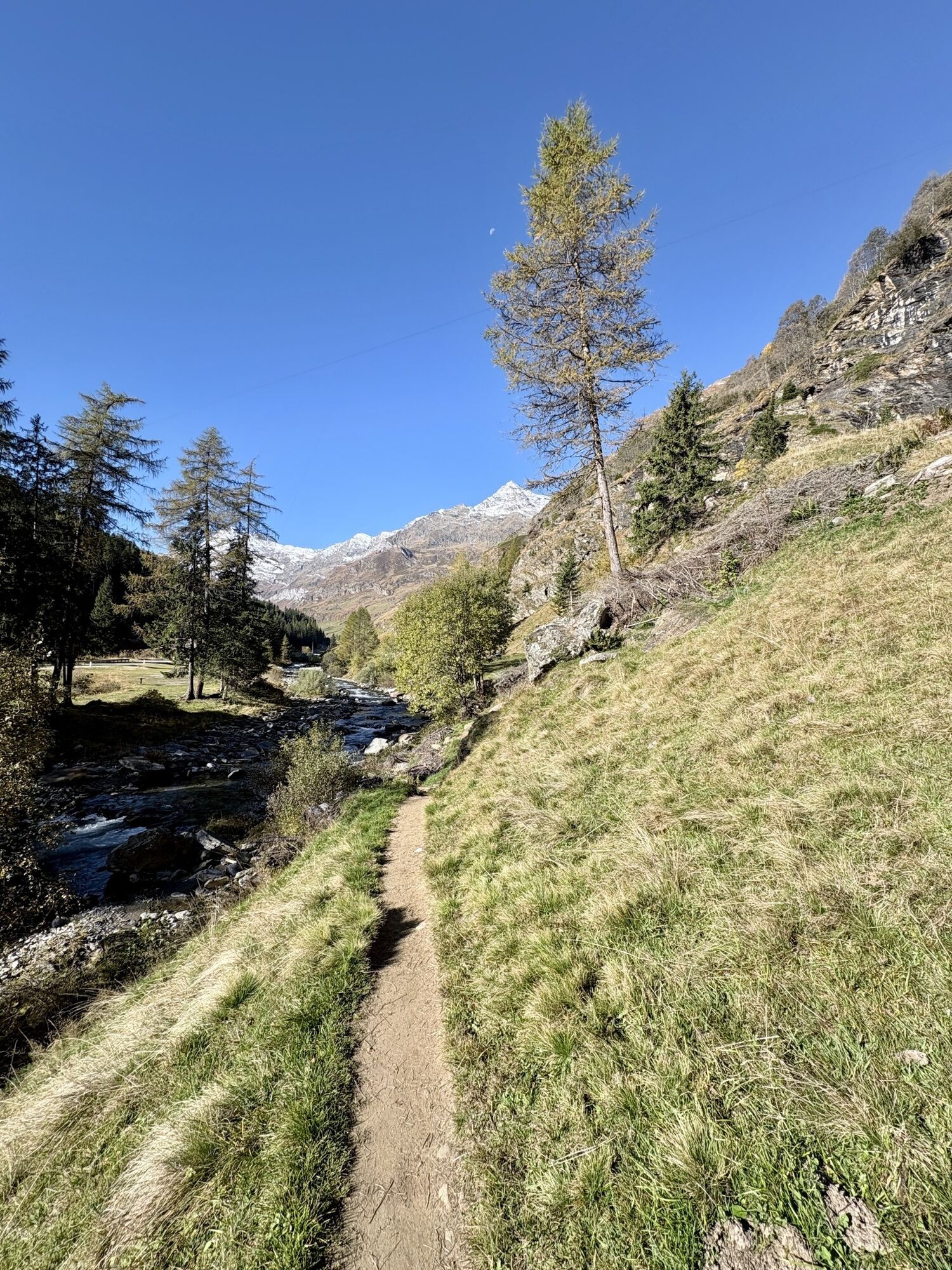
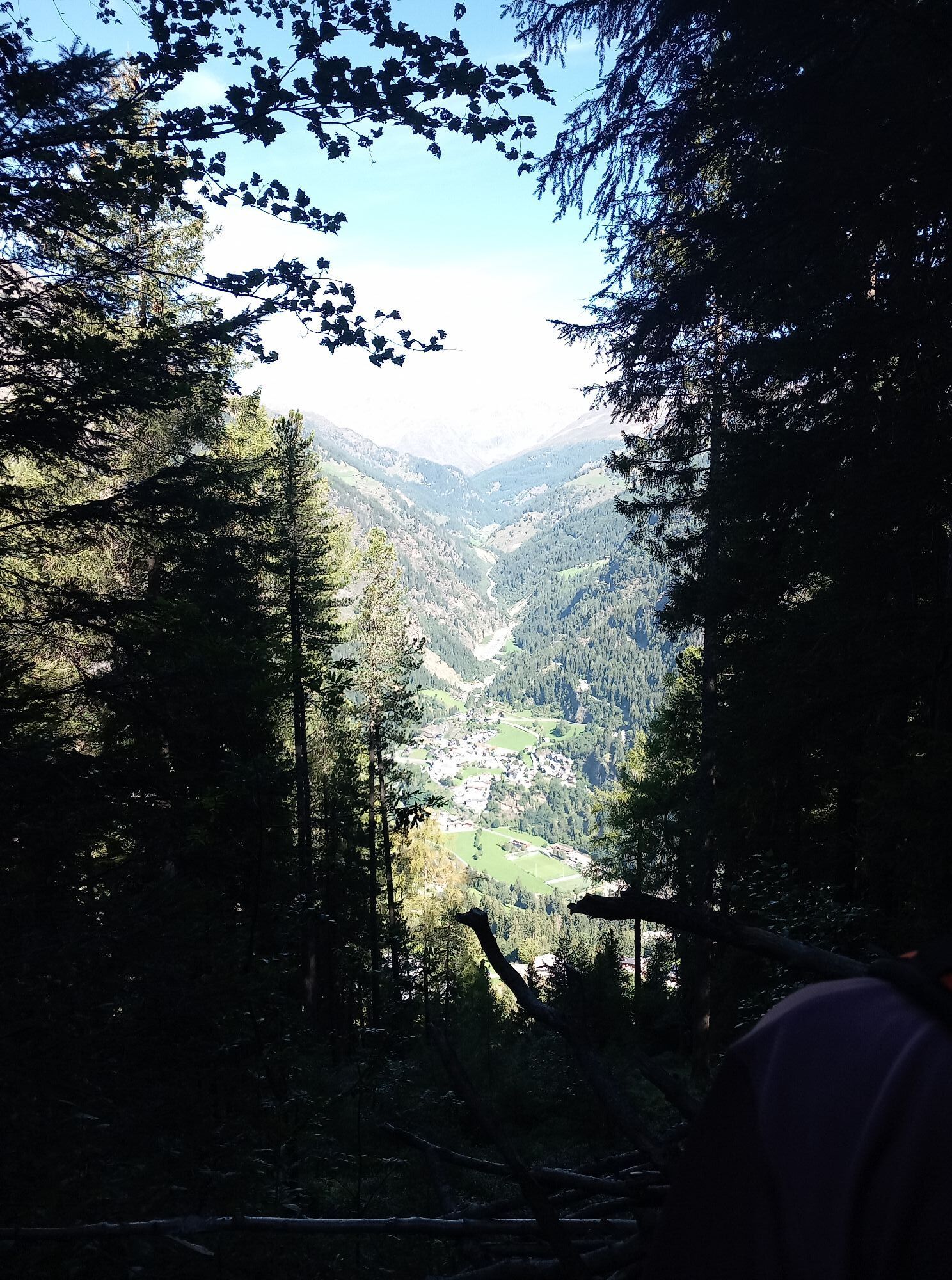

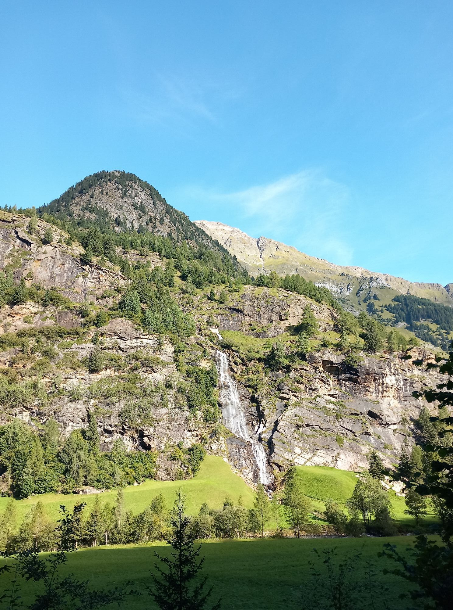
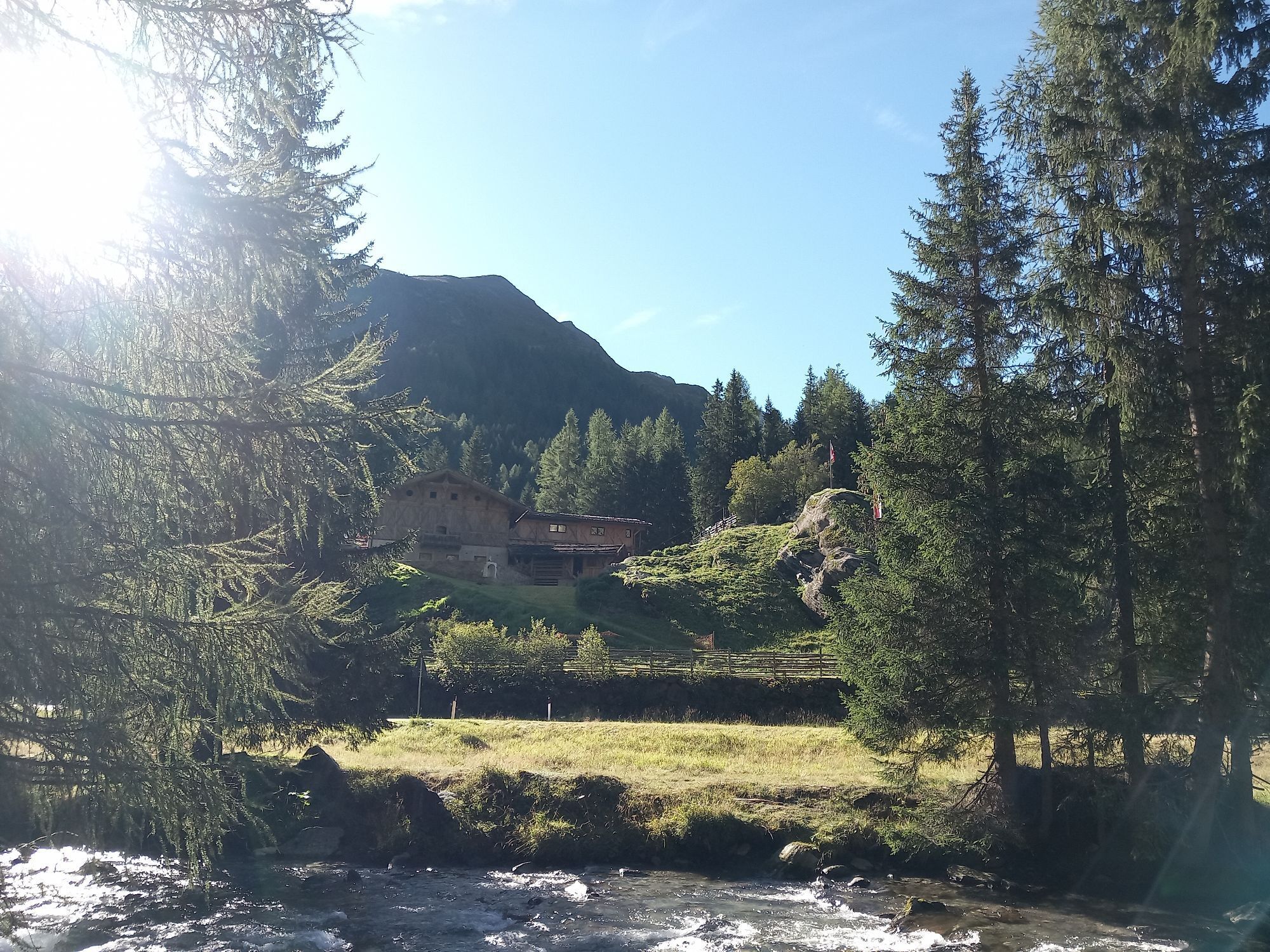
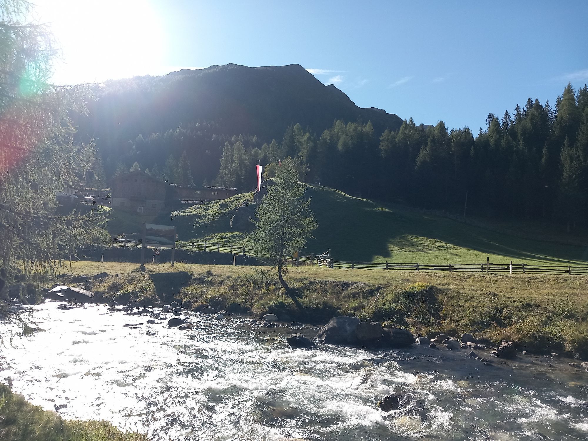

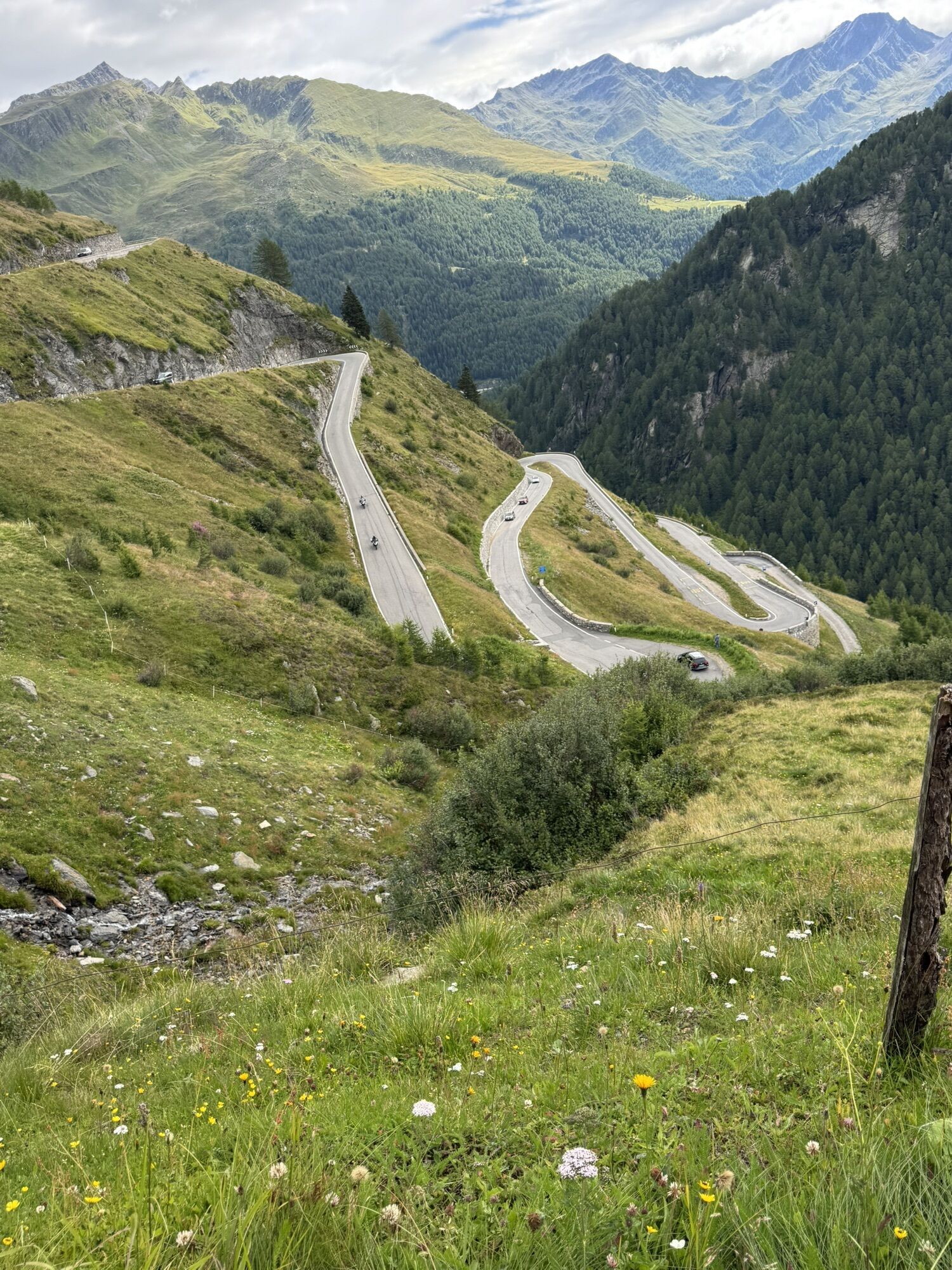
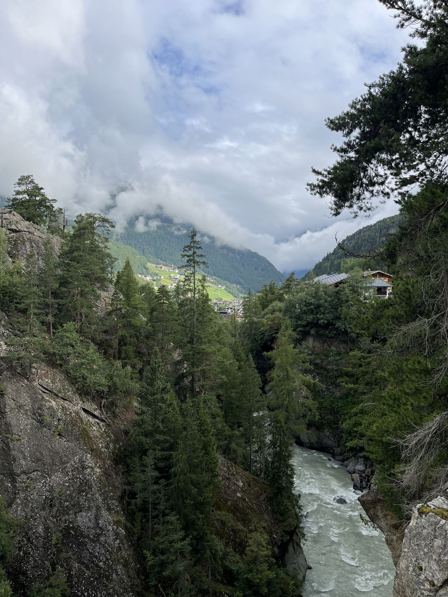
The ascent to the Timmelsjoch is about equally long and steep from both sides on this route. Cyclists have to overcome about 1,400 meters of elevation on nearly 23 km from Sölden or Moos to the pass. Especially...
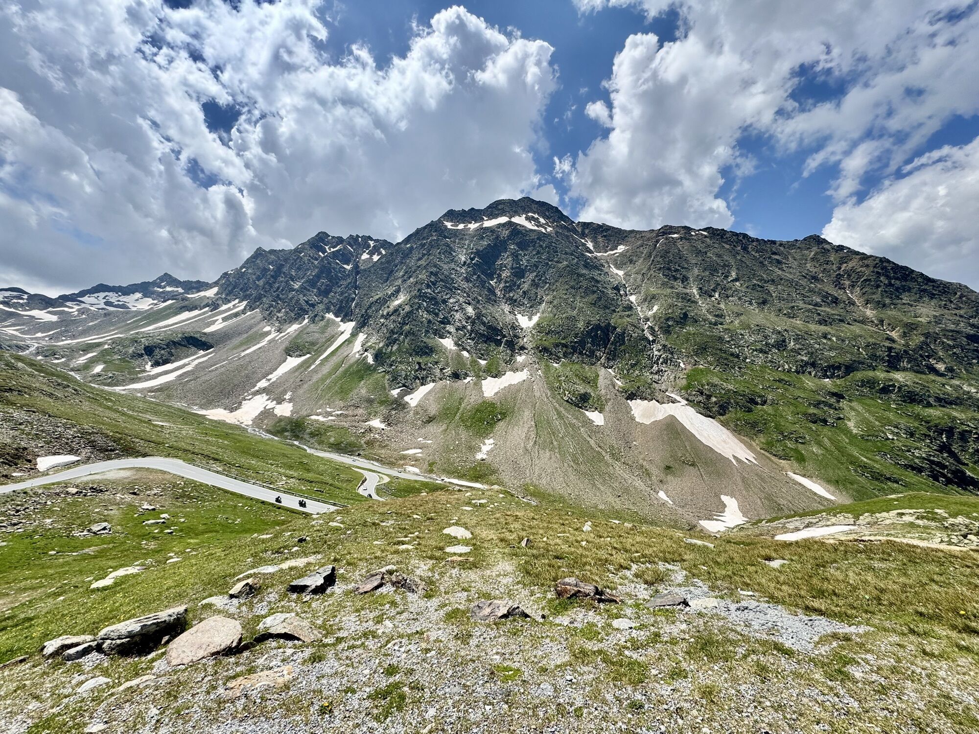
The ascent to the Timmelsjoch is about equally long and steep from both sides on this route. Cyclists have to overcome about 1,400 meters of elevation on nearly 23 km from Sölden or Moos to the pass. Especially the almost 800 meter-long final climb in switchbacks is a challenge for pros and amateurs alike. The Ötztal cycling marathon takes place annually over the Timmelsjoch pass road.
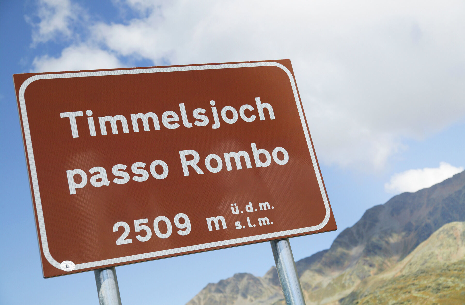
The road cycling route over the Timmelsjoch High Alpine Road - elevation crossing 2,474 m, Austria's highest situated road border crossing, to Pfelders in the Pfelder valley, a side valley of the rear Passeier valley, is a very special experience. The idyllic, dreamy mountain village invites you to relax and linger, and the scenic charms help forget many of the hardships.
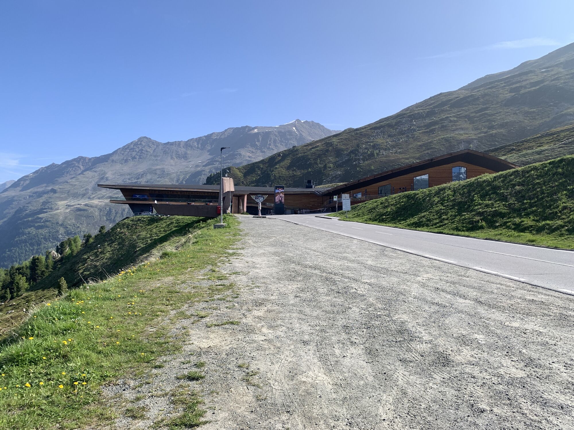
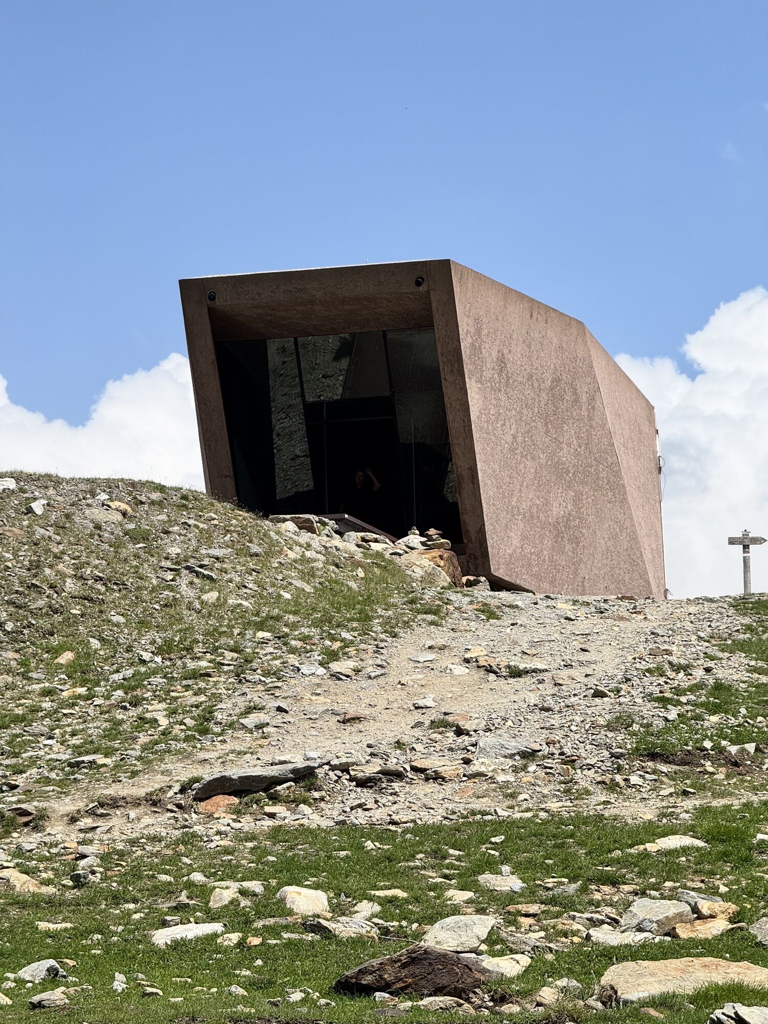
The spectacular High Alpine Road leads through the Ötztal glacier world, the Ötztal Nature Park, and the Texel Group. It is a special feeling of freedom that this ride over the Timmelsjoch conveys. The tranquil north-south connection off the main traffic routes, also known as the "secret gap" in the Alps, opens the world of the high mountains to travelers. Along the road, there are repeatedly partially futuristic architectural sculptures, five stations that provide information on nature, history, culture, society, and the economy of the region. At the toll station in Hochgurgl is also the Motorcycle Museum, Europe's highest situated motorcycle museum, with around 230 exhibits from more than 100 manufacturers.

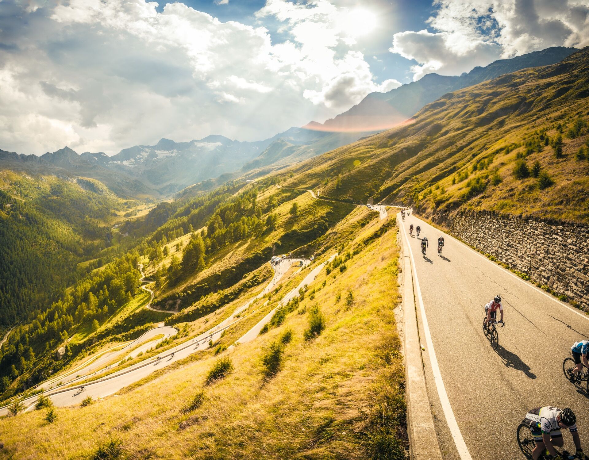
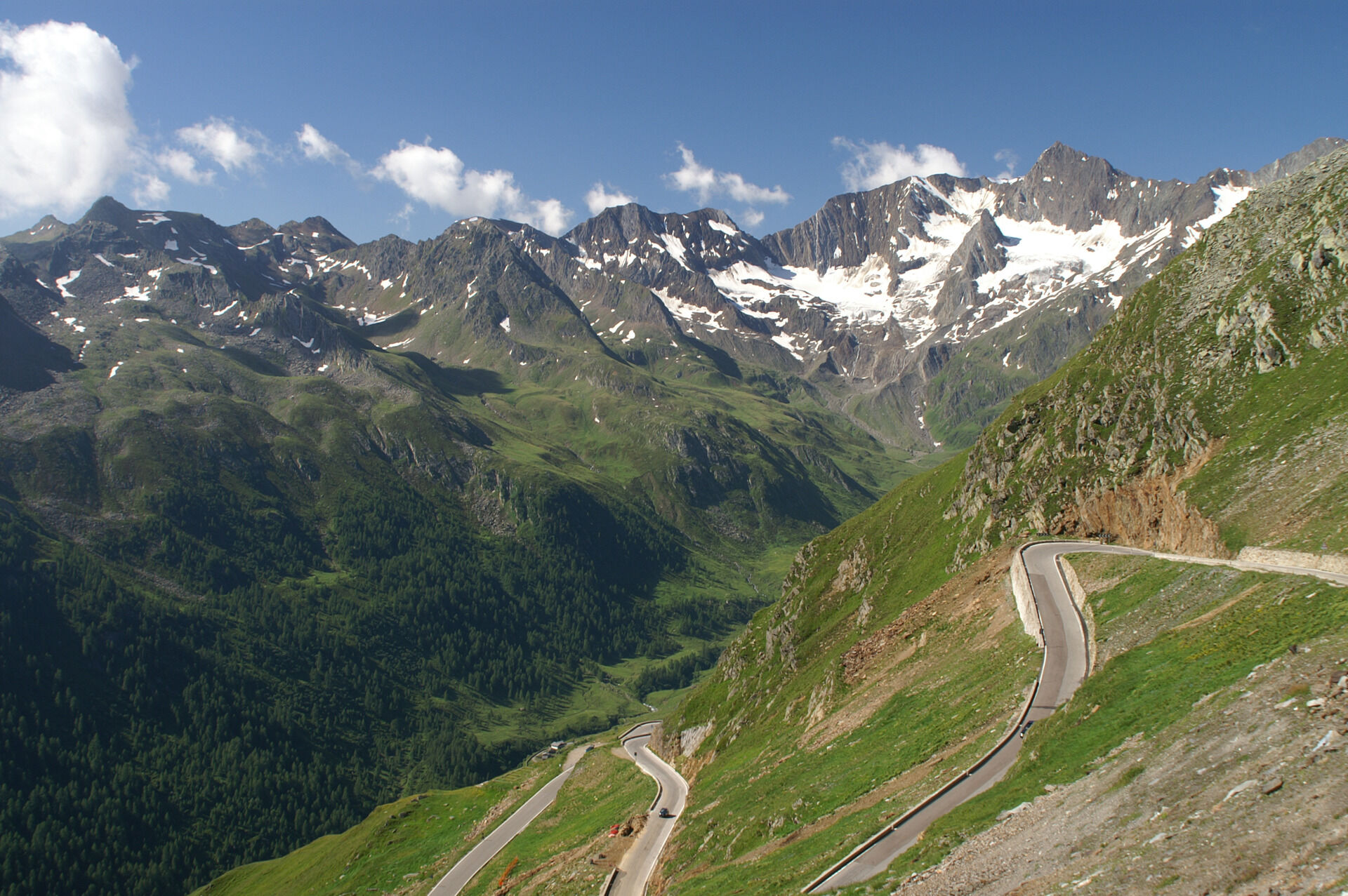
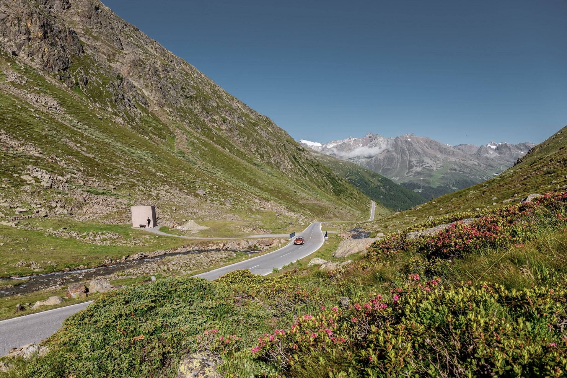
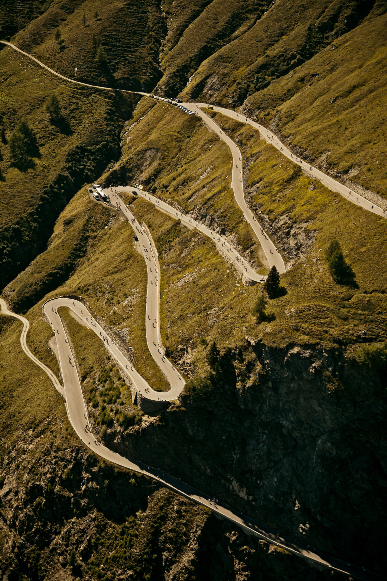
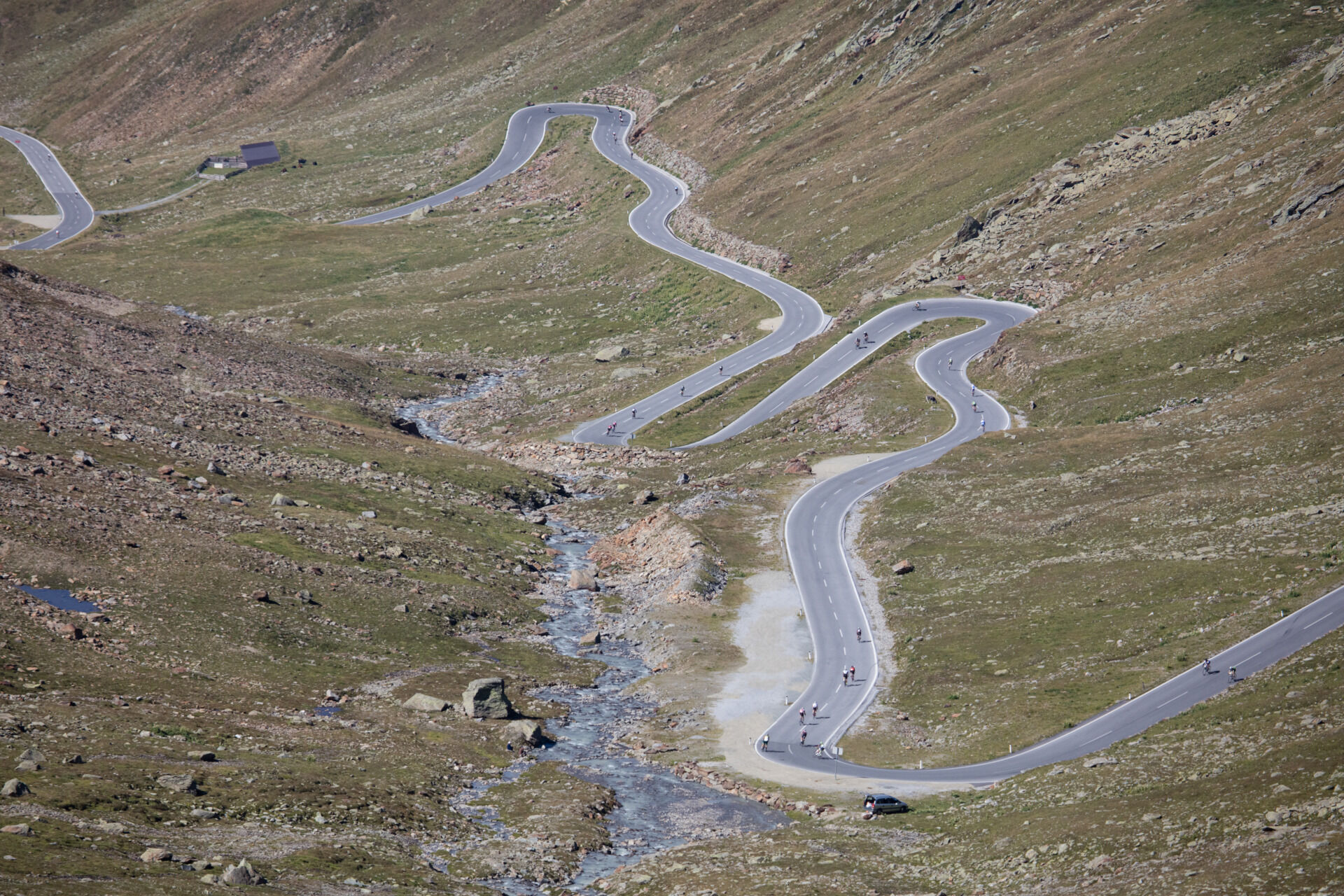
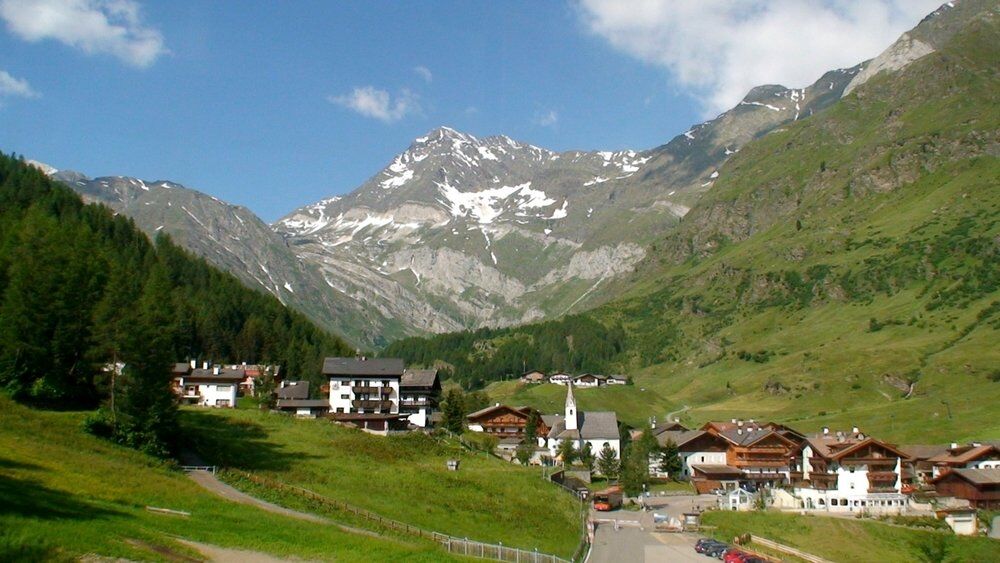
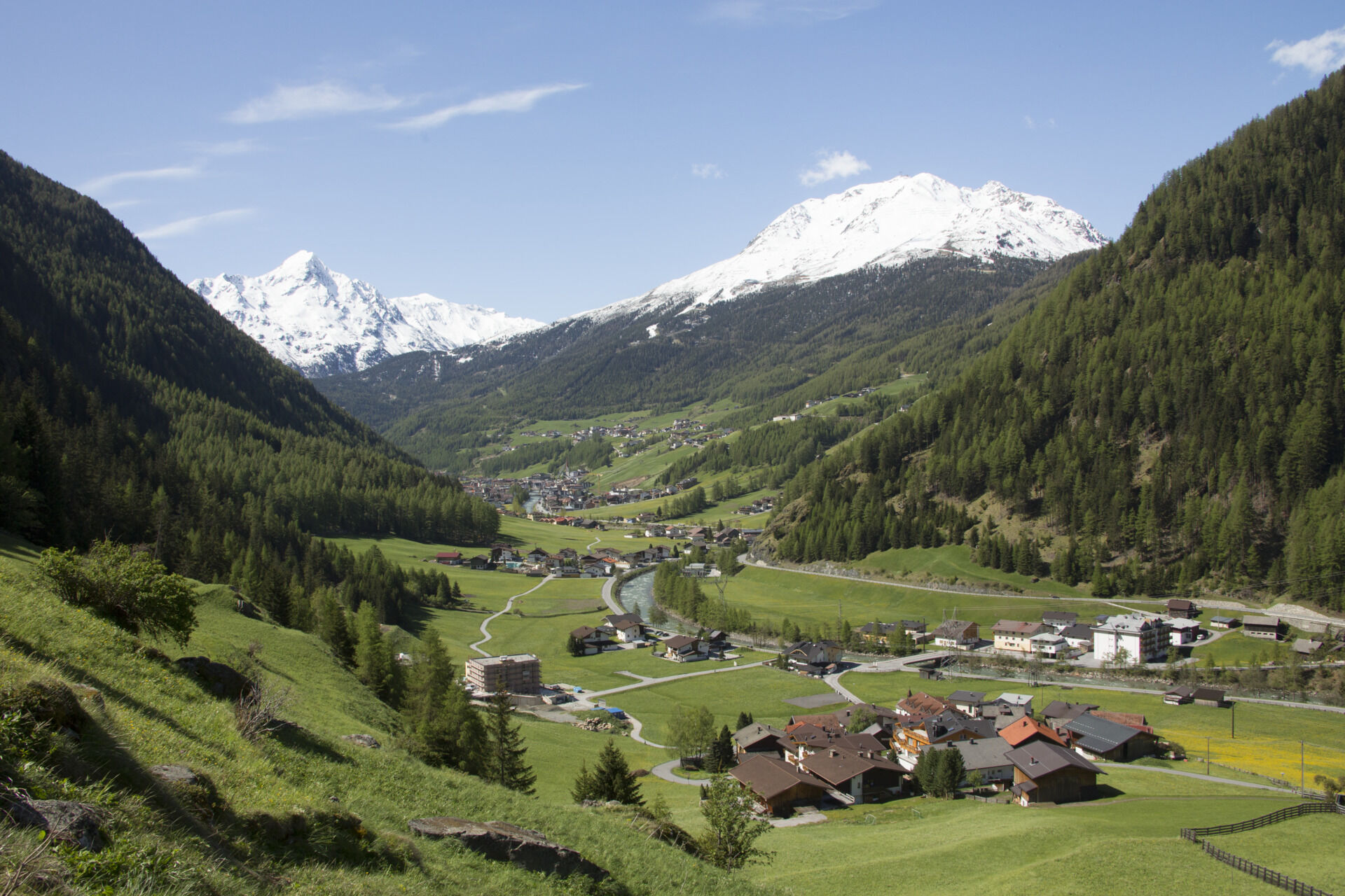

The well-developed ascent on the Austrian side starts in Sölden at the Freizeit Arena and follows the federal road southwards. 1000 meters of elevation over 23.5 kilometers demand a well-trained rider. In the first kilometers after Sölden, the Venter Valley is left on the right before Zwieselstein. Then the climb gets serious on a steep section with inclines of up to 13 percent up to the junction to the Kirchdorf Obergurgl. Turning left there, the actual Timmelsjoch High Alpine Road begins. It leads over Hochgurgl, passes the toll station, and drops another 150 meters in elevation into the Timmelsbach valley before the final climb with six hairpin bends and about ten percent incline ascends the main alpine ridge. After the long descent over the High Alpine Road, it continues on the Italian side to Moos. In the village center, turn right onto the SP114 and follow this road to Pfelders, the destination of the route. From here, the return trip is made over the same route as on the way to Sölden.
What do you want to do ?Da
Da
Personal equipment must be safe and usable and meet the respective technical standards. Every racing cyclist is recommended to inform themselves about the planned routes through specialist literature or on site. Complete racing bike equipment is strongly recommended even for experienced riders!
Tip: A light is advisable for partially poorly lit tunnels.
What do you want to do ?The road traffic regulations apply. General valid and usual behavioral rules.
Note that racing cycling can involve an increased risk of accidents and injuries. Despite cautious route planning, there is always a basic risk. Preparation through endurance sports, appropriate training and education, as well as personal caution reduce the accident risk and dangers.
Safe pass conquering by bike
The Timmelsjoch High Alpine Road is a popular sporting challenge for many cycling fans. Due to the popularity of the pass road as a destination and border crossing from the Ötztal into the Passeier valley, there is especially high traffic on weekends.
Tips for the optimal Timmelsjoch cycling experience:
If you have free choice in planning your bike tour, tackle the pass on Saturdays and Sundays outside of 10 am and 4 pm. Advantage: Less traffic, more enjoyment of nature, and focus on your own sporting experience. For your own safety, handle the bike with maximum care and ride with foresight. Applies both as an individual athlete and in a group. Whether on flat land or on a high alpine road: For all road users, the rule of mutual consideration and personal responsibility applies. What do you want to do ?WHERE IS SÖLDEN?
Sölden is located in western Austria in the state of TYROL, in a southern side valley of the Inn valley – the ÖTZTAL.
Arrival from the west:
From Vorarlberg to Tyrol via the Arlberg pass or through the Arlberg tunnel (S 16) - Landeck - highway A 12 towards Innsbruck - exit Ötztal after Roppen tunnel - B 186 (35 km) to Sölden
From the north:
- Bad Tölz - Achen pass - B 181 - Jenbach - A 12 Innsbruck direction Bregenz - exit Ötztal - B 186 (35 km) to Sölden
- Pfronten - Reutte - Fern pass - Imst - A 12 direction Innsbruck - exit Ötztal after Roppen tunnel or B 171 Tiroler Straße to Ötztal (vignette-free) - B 186 (35 km) to Sölden
- Garmisch Partenkirchen - Ehrwald - Lermoos - Fern pass - Imst - A 12 direction Innsbruck - exit Ötztal after Roppen tunnel or B 171 Tiroler Straße to Ötztal (vignette-free) - B 186 (35 km) to Sölden
- Garmisch Partenkirchen - Mittenwald - Scharnitz - Seefeld in Tirol - Telfs - A 12 towards Bregenz - exit Ötztal or B 171 Tiroler Straße to Ötztal (vignette-free) - B186 (35 km) to Sölden
From the east:
From Munich or Salzburg on the A 93 to Kufstein, then on the A 12 towards Bregenz, via Innsbruck to the exit Ötztal, then continue on B 186 (35 km) to Sölden
From the south:
Coming from Bolzano towards Brenner (toll road) - Brenner highway via Schönberg toll station towards Innsbruck - from Innsbruck on A 12 towards Bregenz to Ötztal approach - continue on B 186 (35 km) to Sölden
Arrival by train
Travel comfortably and safely by train to Ötztal station. A regular bus leaves directly from the station forecourt towards Obergurgl. The bus ride to Sölden takes about 1 to 1.5 hours.
All important information on bus schedules, connections, and taxi companies can be found here.
At the valley stations of Gaislachkoglbahn and Giggijochbahn, there are plenty of free parking spaces available, and free parking garages are also provided. Parking is free between 8:00 a.m. and 7:00 p.m.
Paid overnight car parking is possible in the Gaislachkogl parking garage:
more information about overnight parking
5
More info about biking & cycling in the Ötztal: https://www.oetztal.com/biken
What do you want to do ?
What do you want to do ?
Spletne kamere s turneje
Obergurgl
Hochgurgl
Pfelders - Gampen
Obergurgl
Seekogel
Gaislachkogel
Gaisberg
Sölden - Hochsölden
Sölden - Grünwald Resort
Top Mountain Crosspoint Hochgurgl
Top Mountain Crosspoint Hochgurgl
Top Mountain Crosspoint Hochgurgl
Top Mountain Crosspoint Hochgurgl
Top Mountain Crosspoint Hochgurgl
Sölden - Grünwald Resort
Giggijoch
Giggijoch
Giggijoch
Giggijoch
Giggijoch
Giggijoch
Obergurgl
Obergurgl
Obergurgl
Obergurgl
Obergurgl
Obergurgl
Obergurgl
Stuls - Kronhof
Giggijoch
Giggijoch
Obergurgl - Hotel Edelweiß
Top Mountain Crosspoint Hochgurgl
Sölden - Gaislachkogelbahn Mittelstation
Sölden - Schwarzkogl Talstation
Hochstubaihütte
Hochstubaihütte
Sölden Ort
The Peak Sölden**** Chalets und Appartements
Rabenstein im Passeiertal

Priljubljeni izleti v okolici
- 4.7
Vent - Kreuzspitze
Pohodništvo 20.6 km - 4.8
Algund Waalweg canal trail
svetlobaPohodništvo 4.45 km - 4.3
Vorderkaser - Eishof / Texelgruppe
svetlobaPohodništvo 4.83 km - 4.5
Leiter Alm mountain hut – Hochganghaus refuge - Gamplweg trail – Velloi
srednjaPohodništvo 9.77 km - 5.0
From Algund/Lagundo to the Schlundenstein rock and Plars Waalweg canal trail to Parcines
svetlobaPohodništvo 10.7 km - 4.8
Hirzer Almenrunde
svetlobaGorski pohodništvo 9.02 km - 4.7
Naturns Unterstellbahn bis Texelbahn auf dem Meraner Höhenweg
srednjaPohodništvo 9.77 km - 4.6
Meran Tappeinerweg
svetlobaPohodništvo 6.77 km - 4.6
Leiteralm - Hochmuth - Vellau - Rundweg
svetlobaPohodništvo 5.89 km - 4.6
Passerschlucht
svetlobaPohodništvo 8.84 km
Pohodništvo in sledenje


Ne zamudite ponudb in navdiha za naslednje počitnice
Vaš e-poštni naslov je bil dodan na poštni seznam.





