


Ötztal Cycling Path Stage 1: Haiming - Oetz
Stopnja težavnosti: 2


The cycle path starts in the center of Haiming and leads via the hamlets of Magerbach and Schlierenzau to Ötztal Bahnhof where the route runs several hundred meters parallel to the railway tracks and bends...
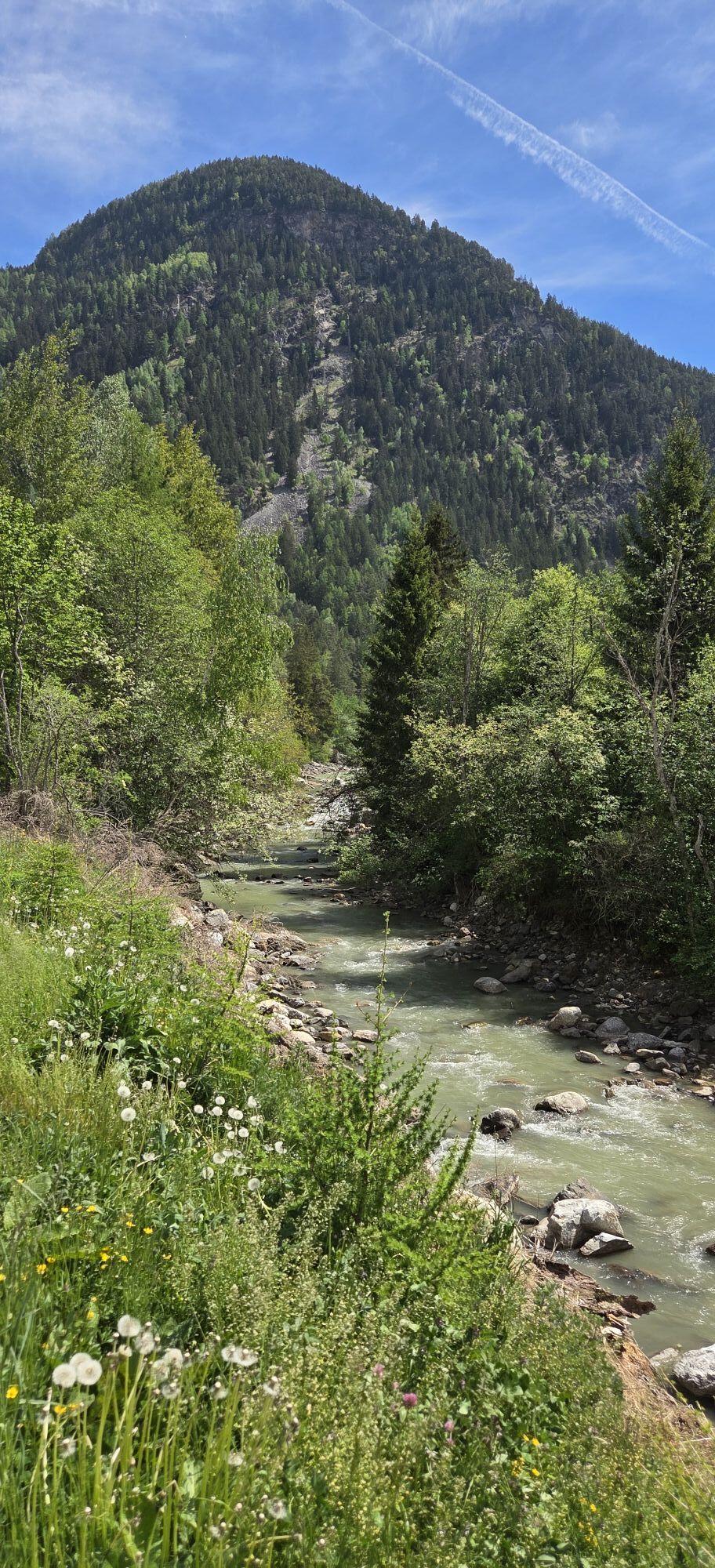
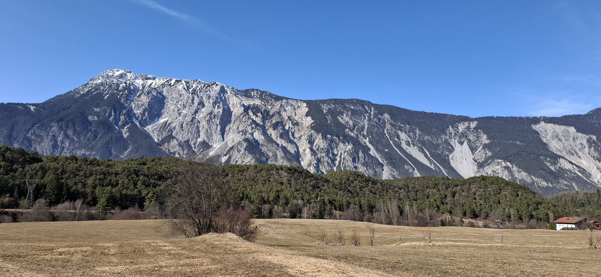
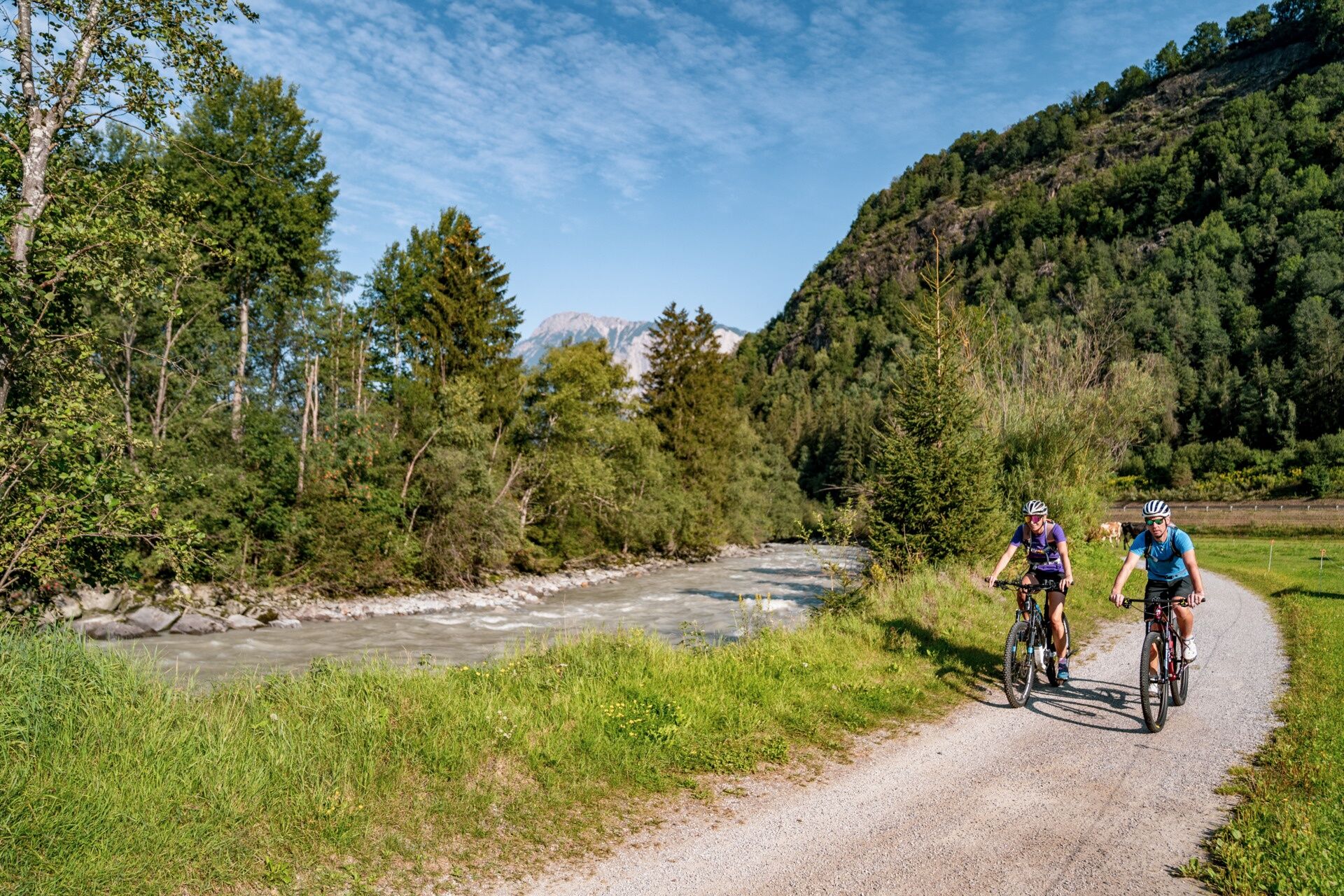
The cycle path starts in the center of Haiming and leads via the hamlets of Magerbach and Schlierenzau to Ötztal Bahnhof where the route runs several hundred meters parallel to the railway tracks and bends southwards at the height of Area 47. Along the rushing Ötztaler Ache brook you cycle to Oetz.

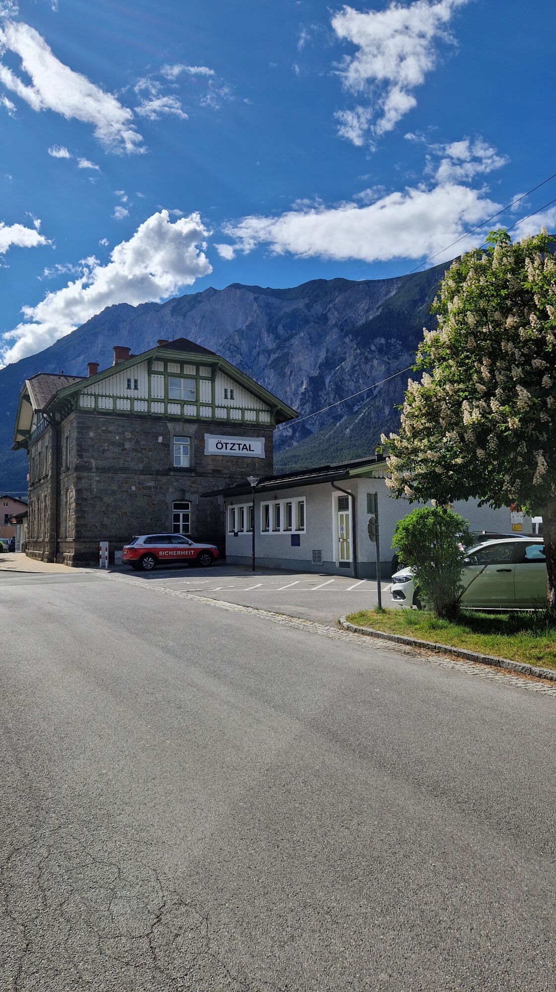
The first stage of the Ötztal Cycle Path starts in the town center of Haiming at the Gemeindeplatz. From there, turn left onto Ötztalerstraße, then at the end of the road, turn left again onto Alte Bundesstraße. The cycle path leads over a bridge into the hamlet of Magerbach. Here, keep left and follow a section of the well-known Inn Cycle Path before the Ötztal Cycle Path branches off to the left towards Schlierenzau after about 2 km. At the end of the hamlet, you cross the Inn River, and after a short, steep climb, you reach the village of Ötztal-Bahnhof, an important public transport hub at the entrance to the Ötztal Valley.
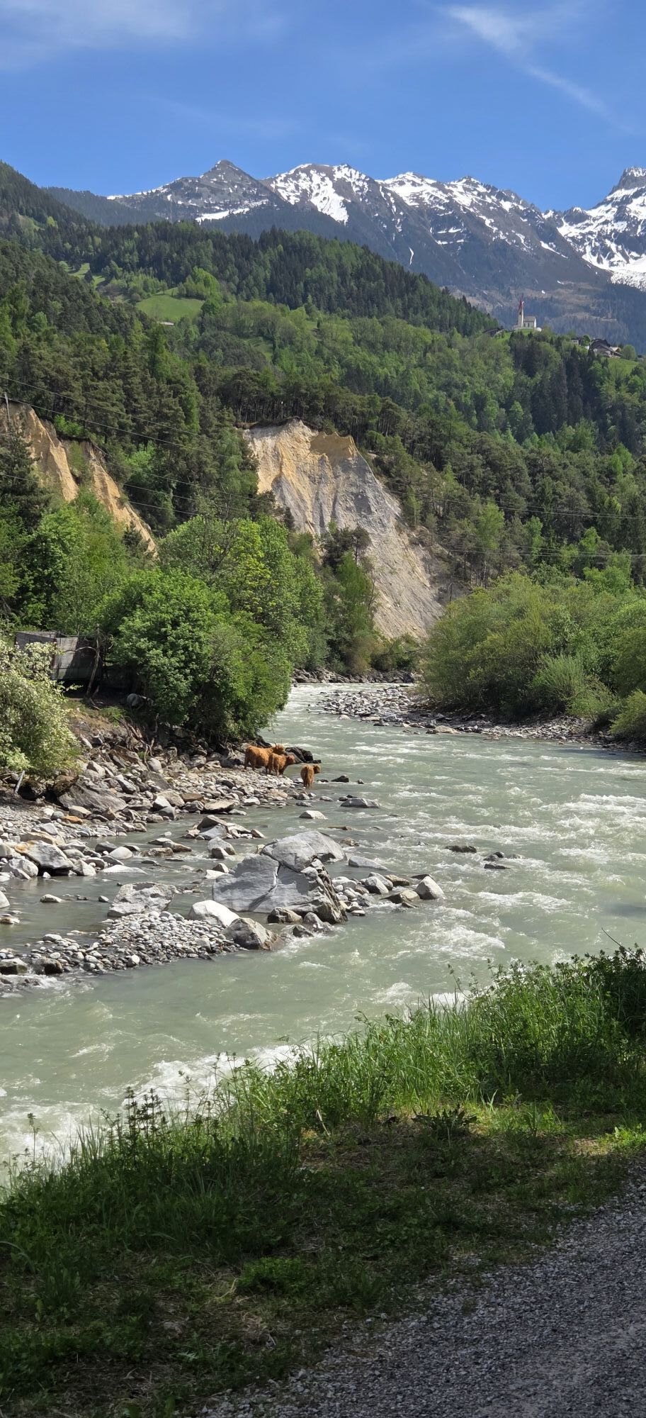
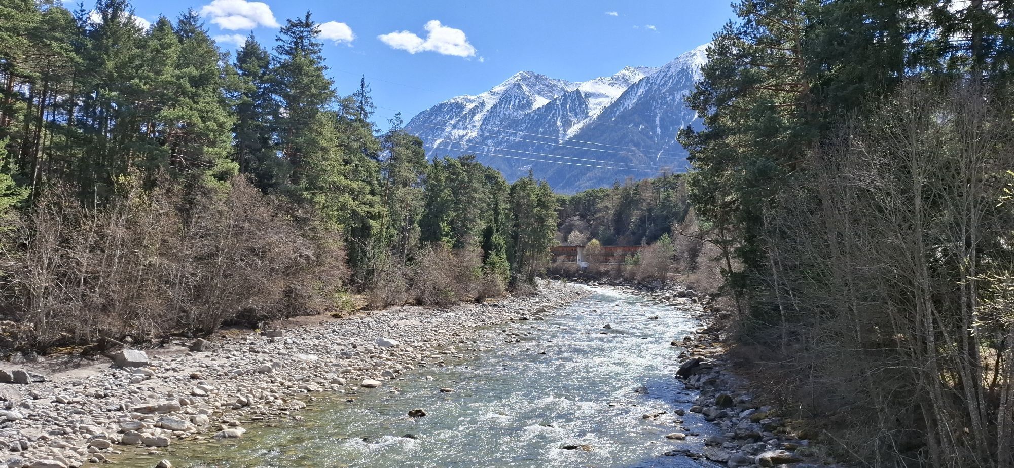
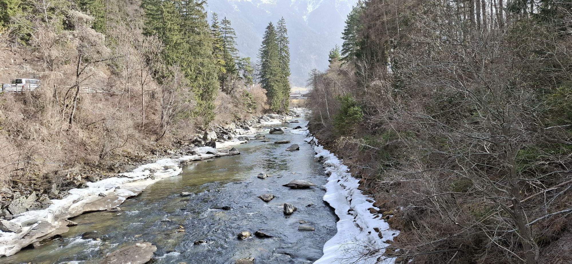
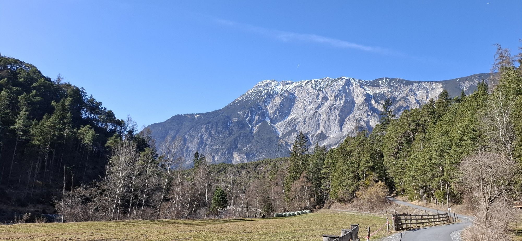
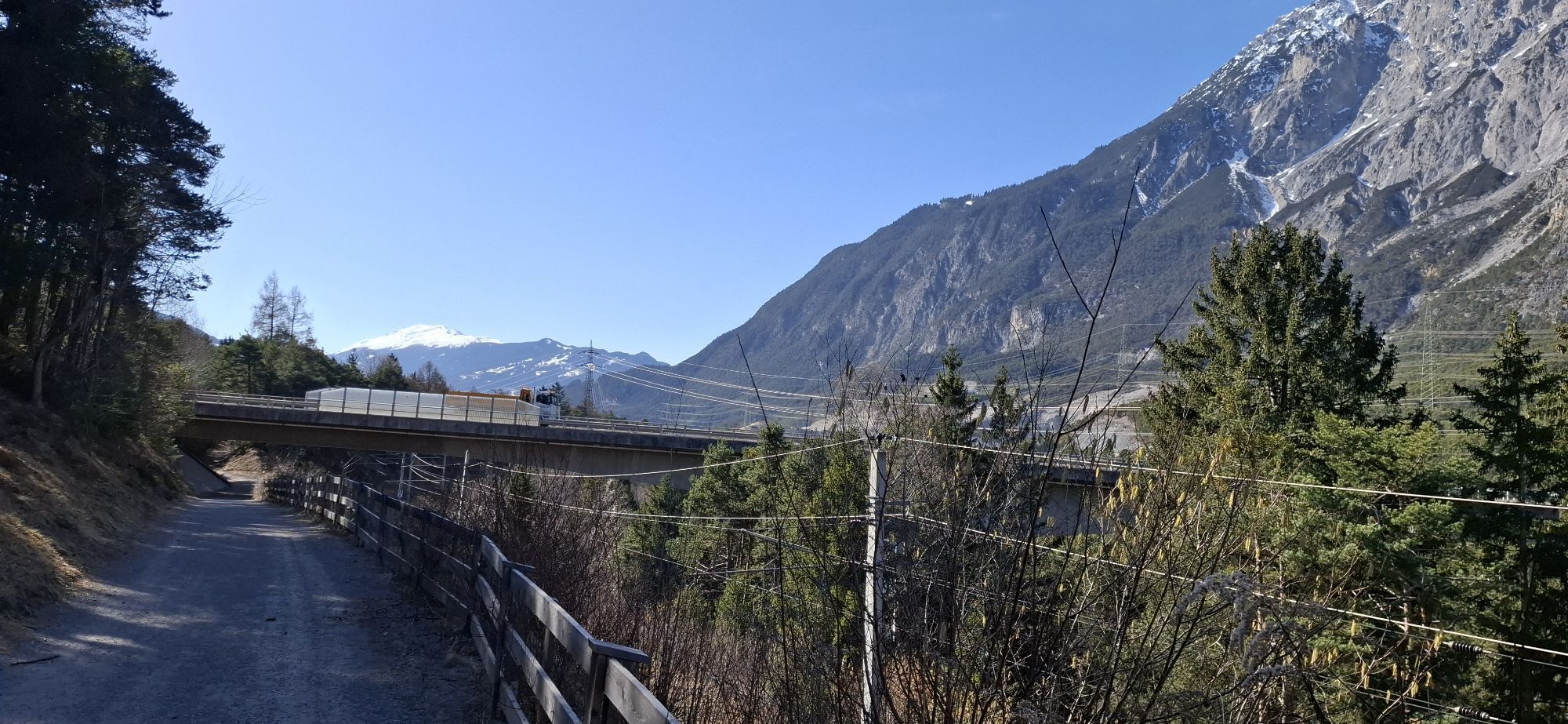
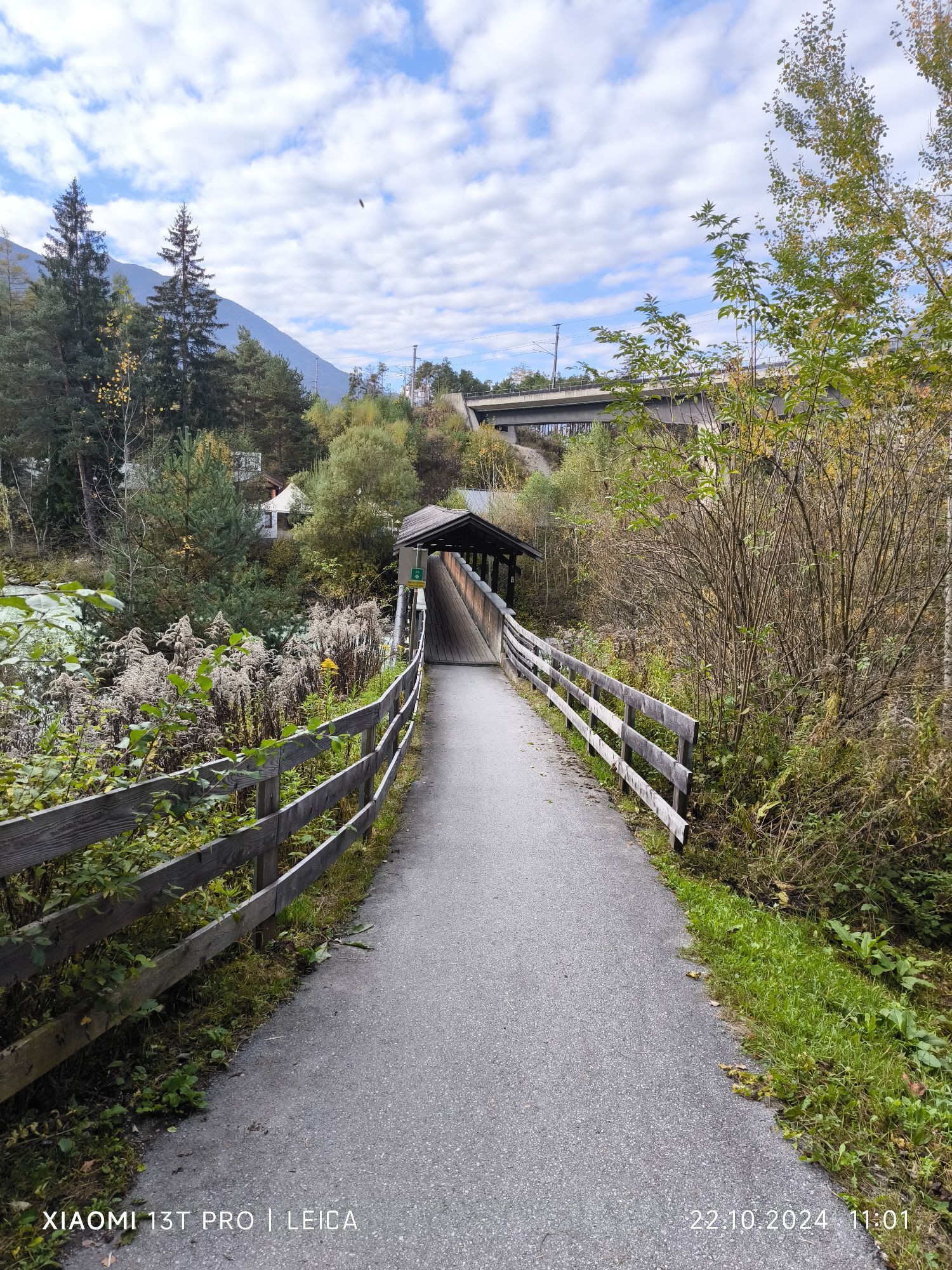
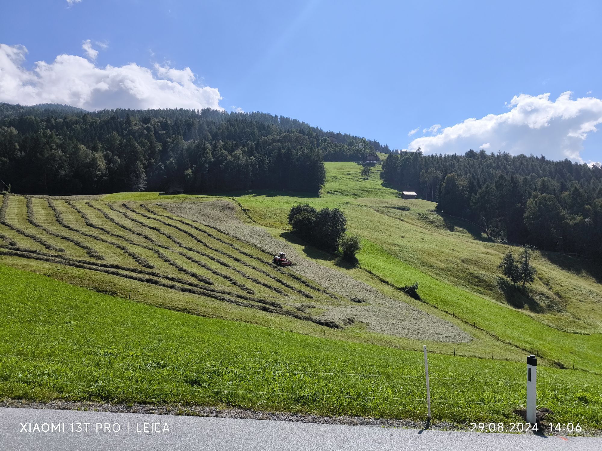
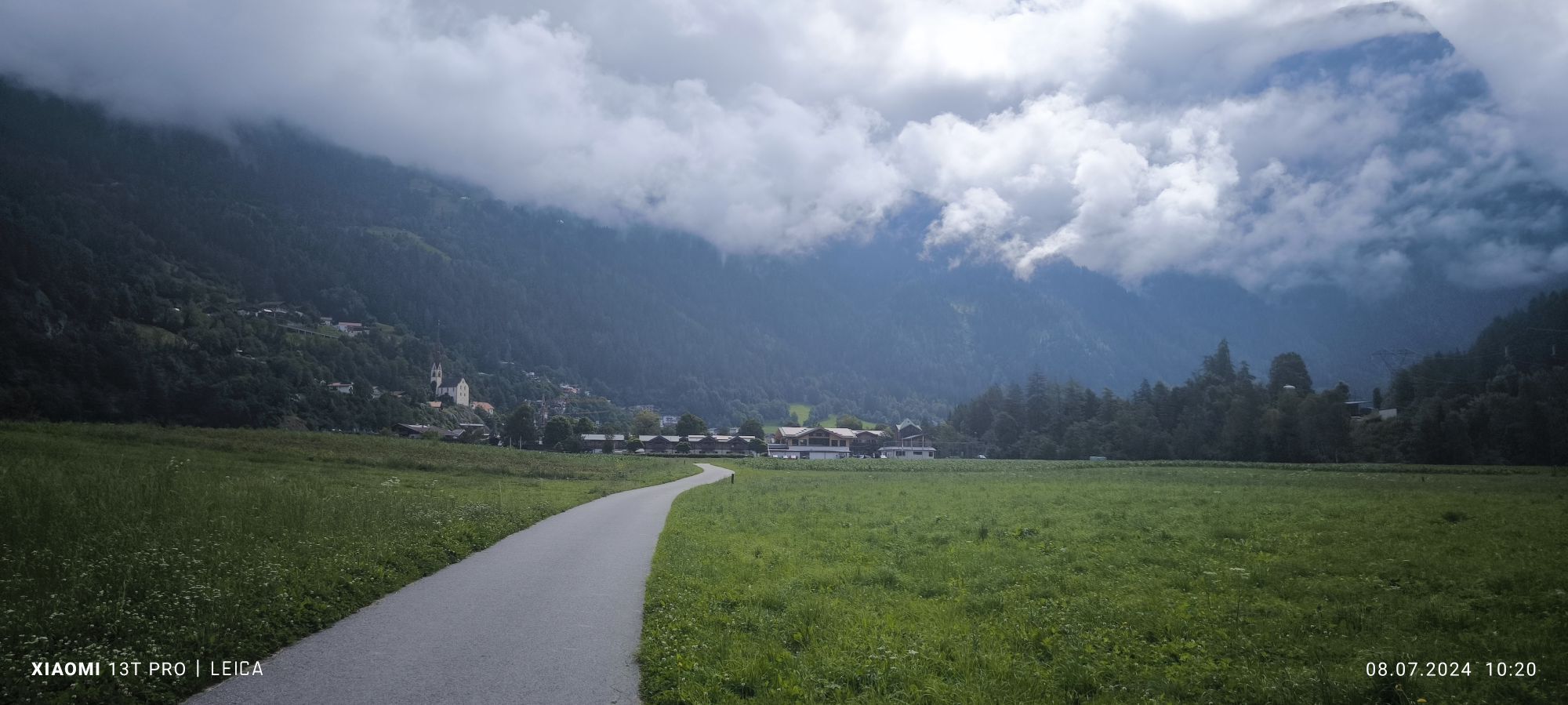
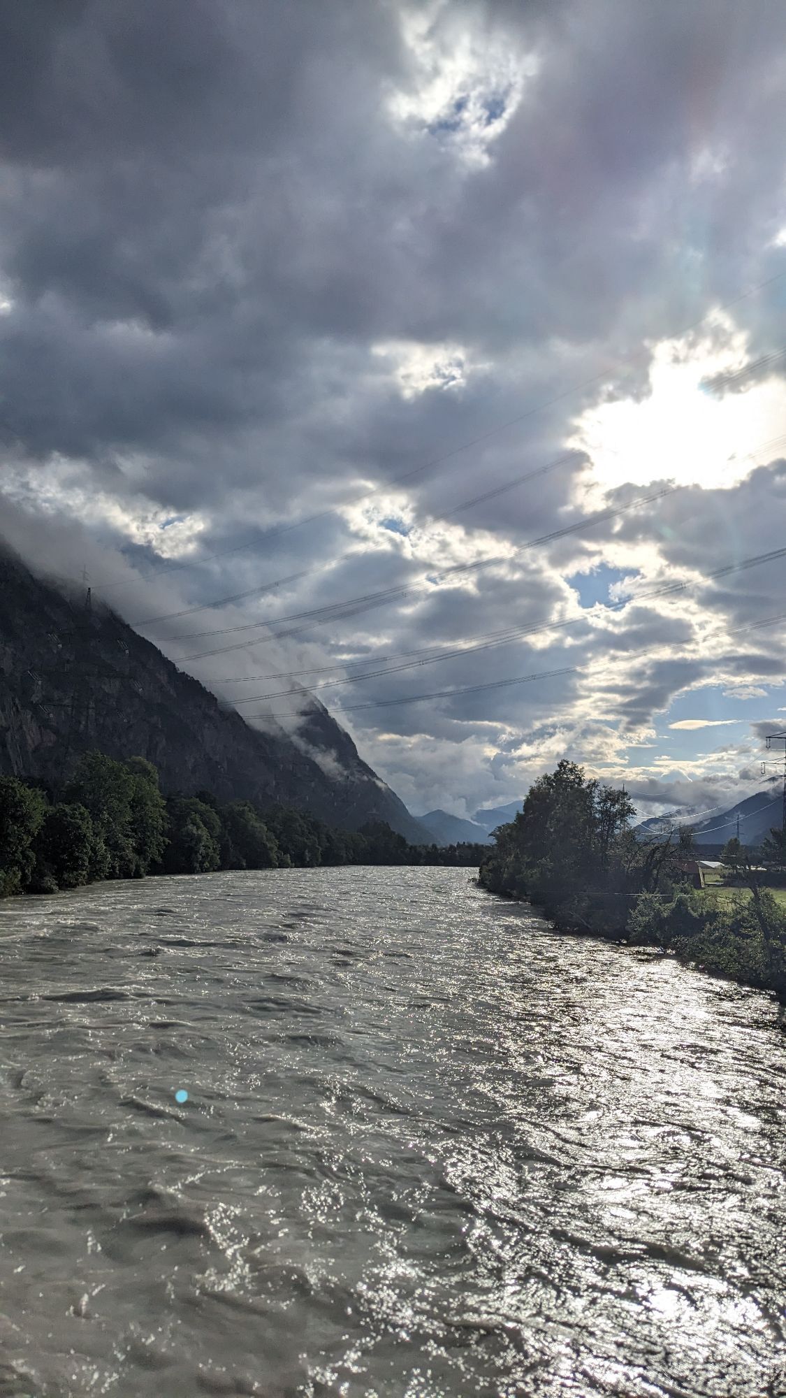
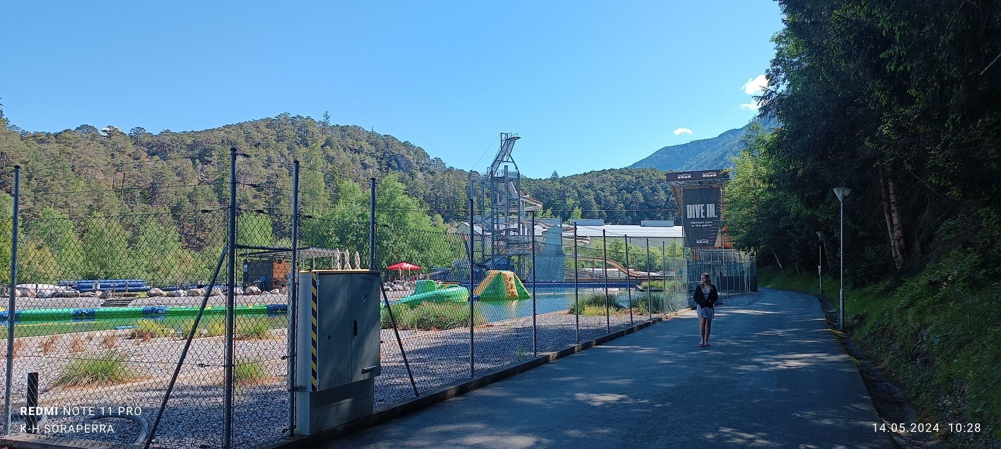
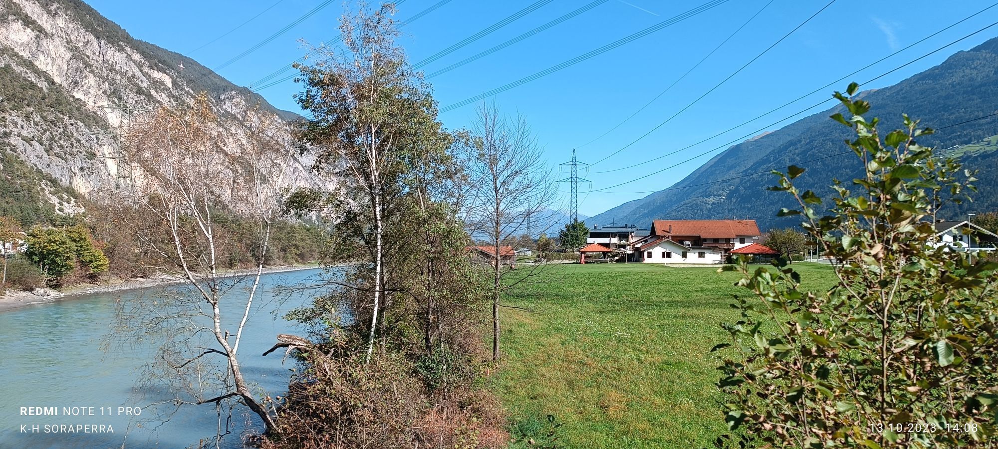
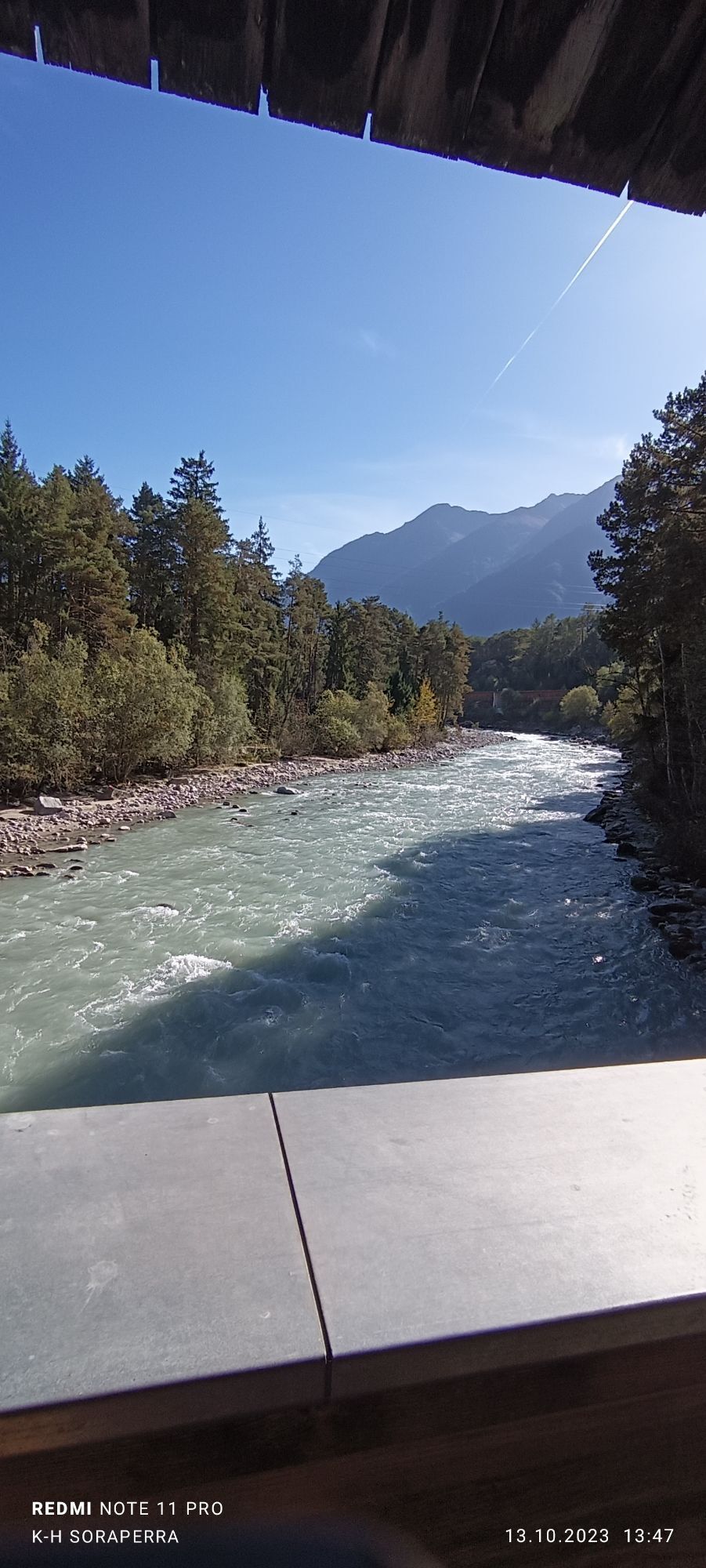
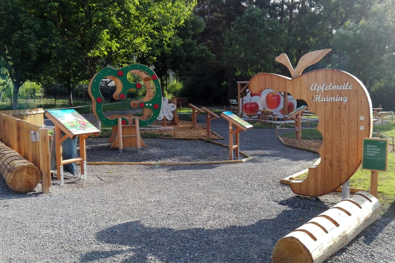
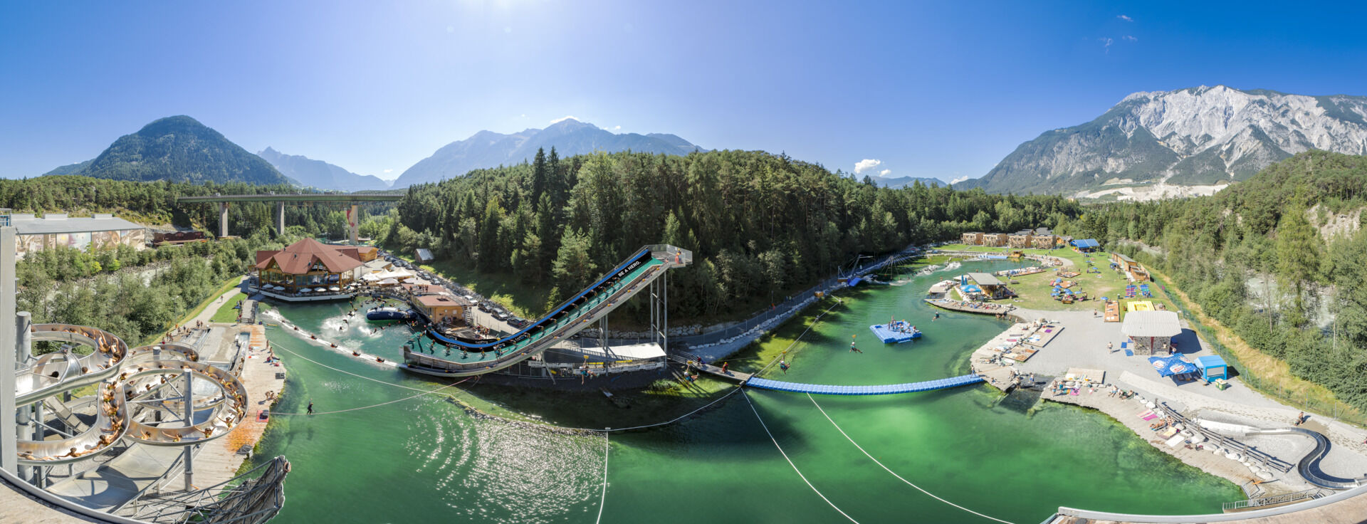
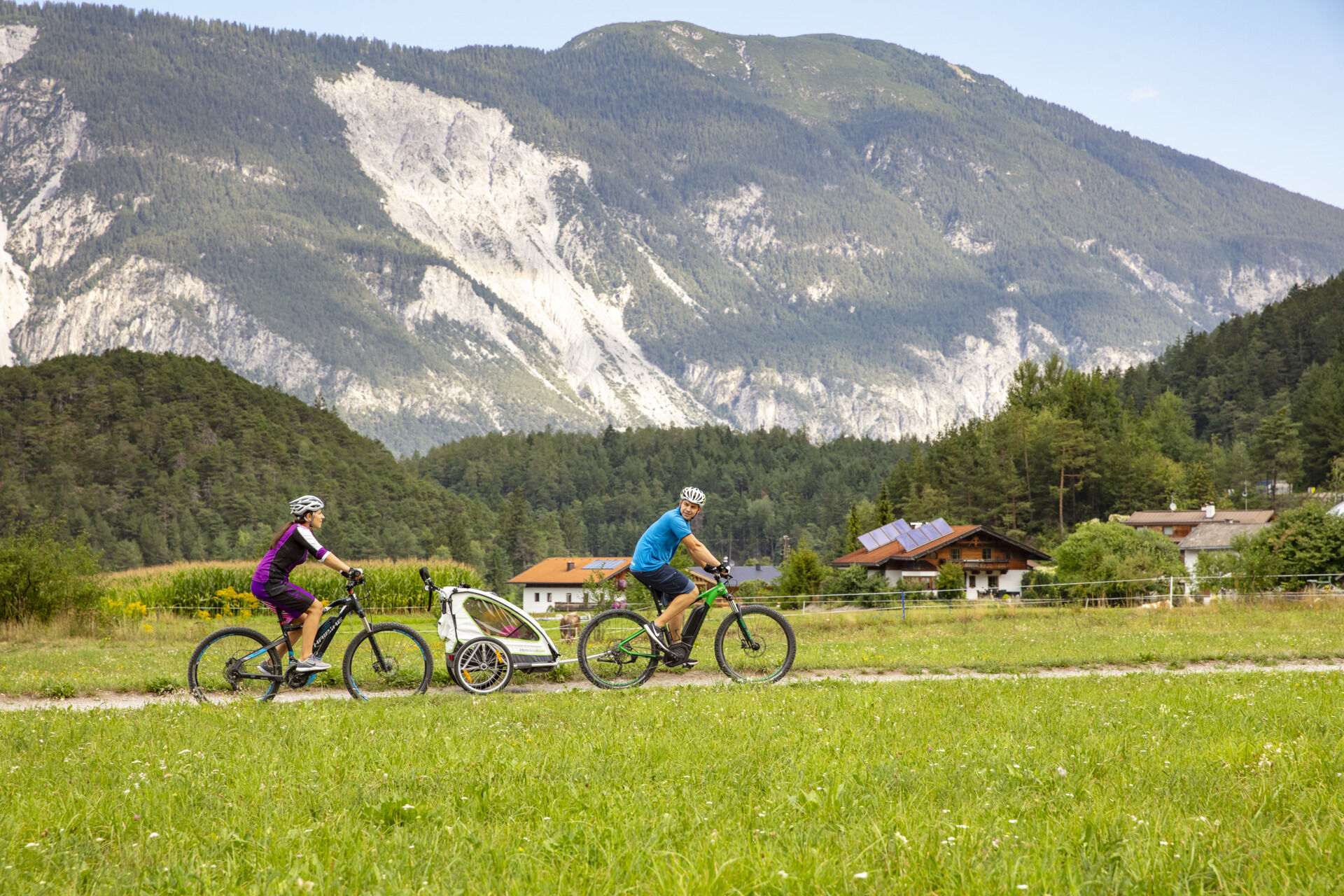
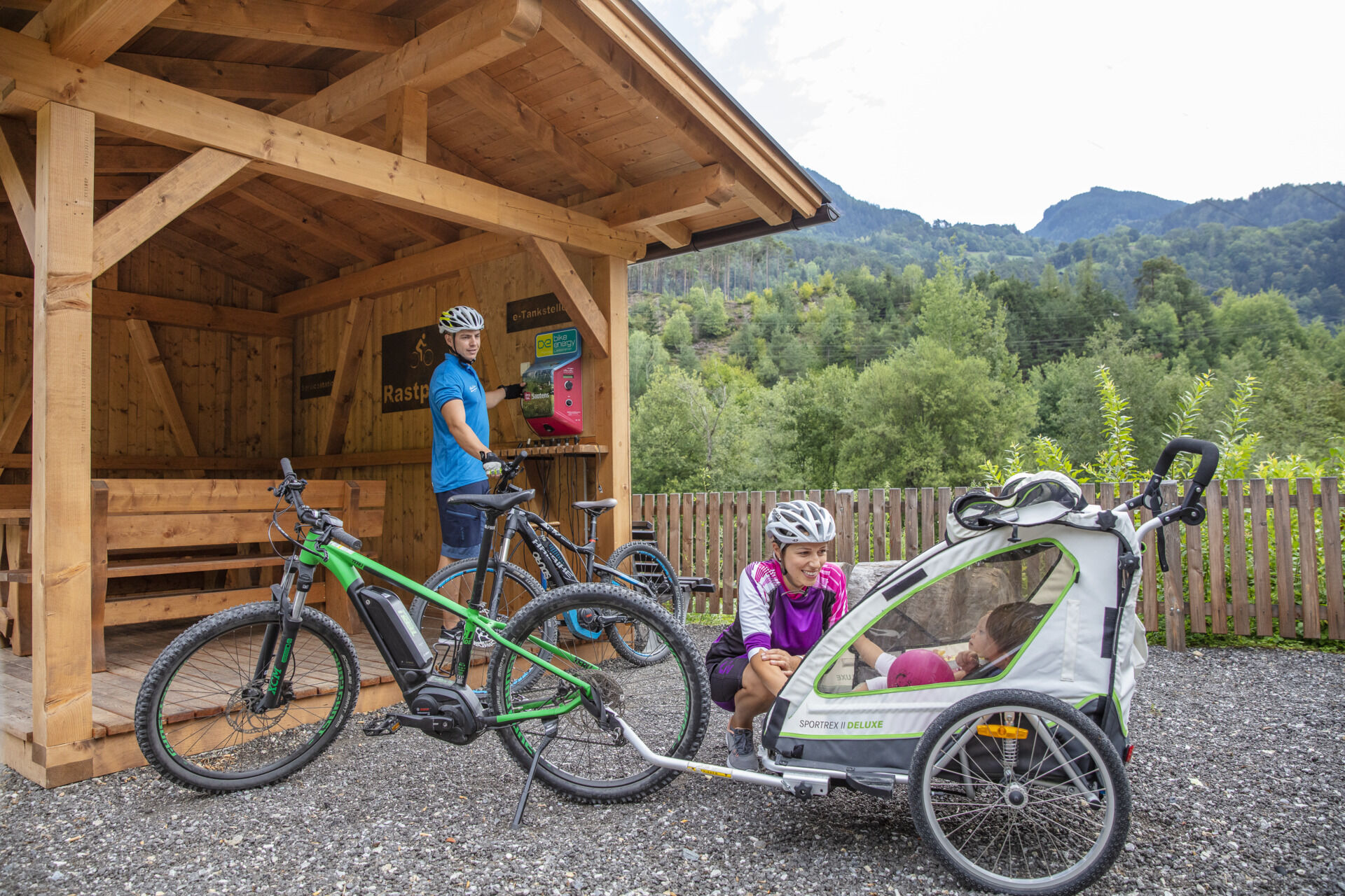
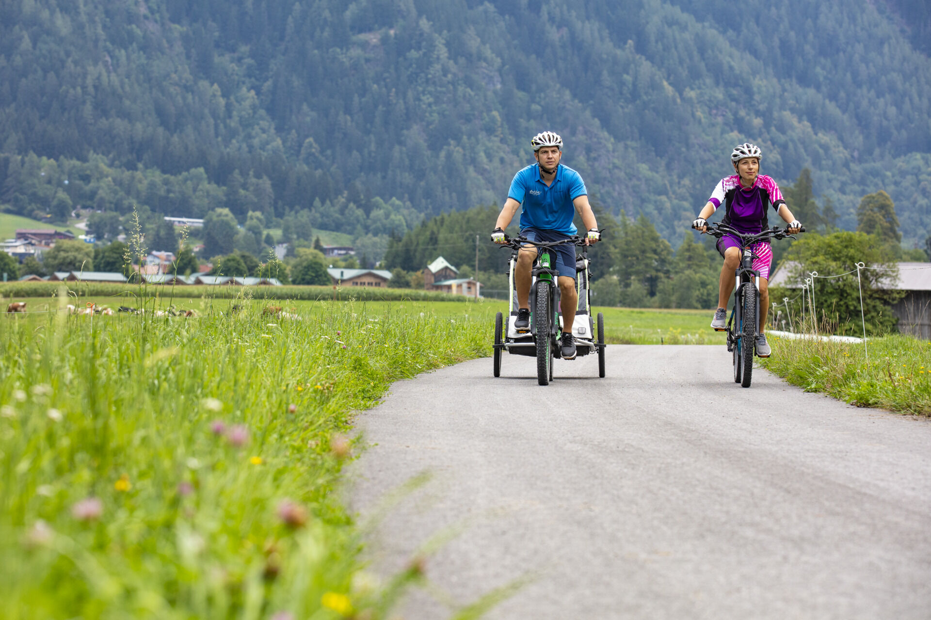
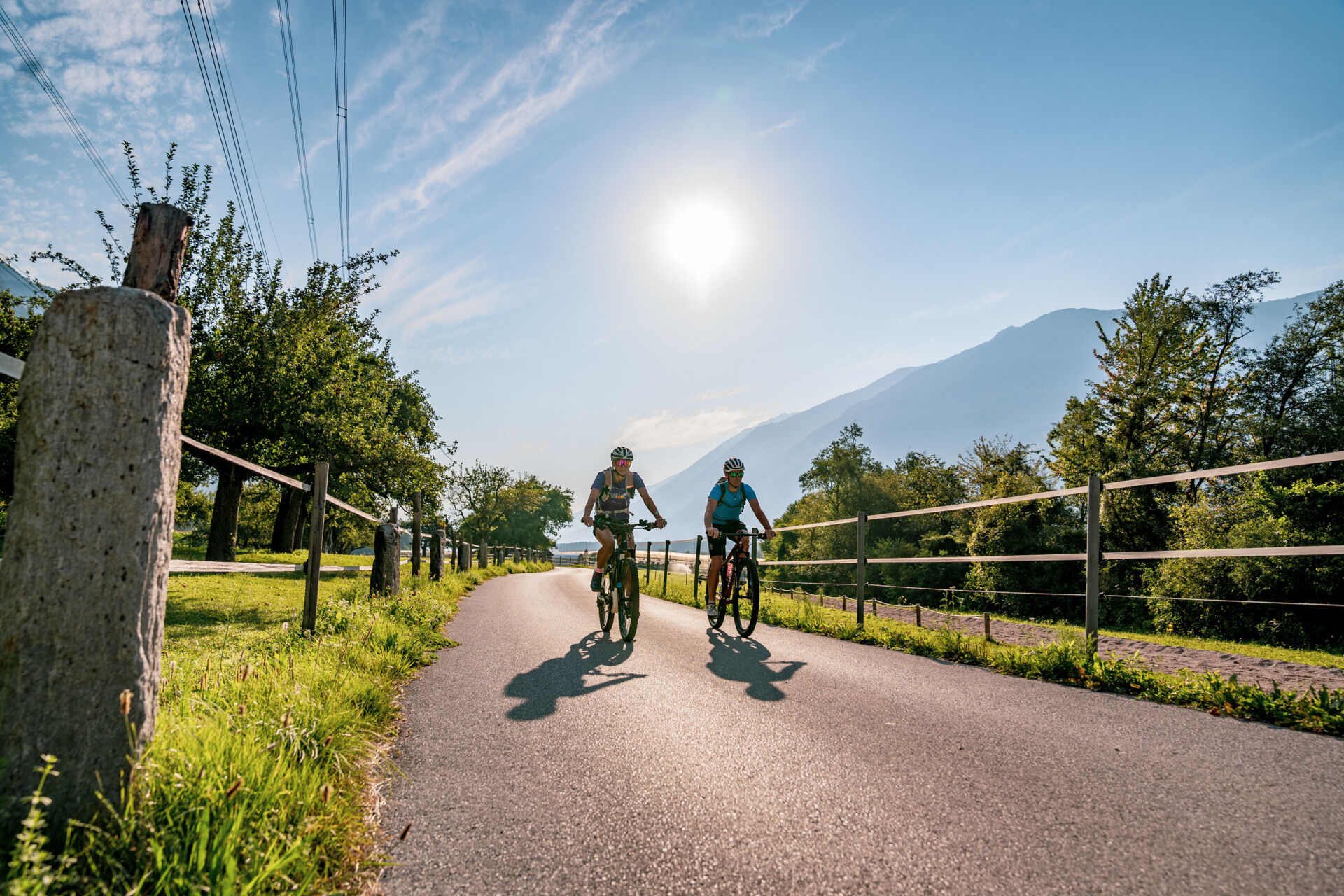
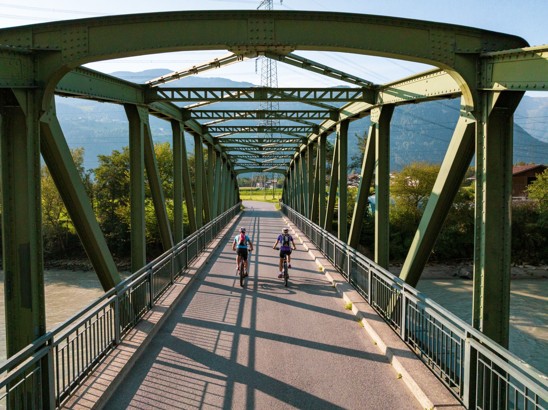
At the end of Simmeringweg, the Ötztal Cycle Path continues into Wiesrainstraße, passing the playground and sports field and weaving through the first industrial buildings. At the next intersection, turn right onto Industriestraße, then after the underpass, turn right again and follow a narrow path into Bahnrain, eventually reaching Bahnhofsplatz. From there, turn right onto Ambergstraße and after just a few meters, turn right again onto Wassertalstraße. At the end of the street, turn right once more and follow a gravel path between the forest and railway tracks, passing under the Inn Bridge. The gravel path continues to the spot where the roaring Ötztaler Ache River flows into the calm waters of the Inn. After crossing the Ache, take the path to the left and follow the Ötztaler Ache. Soon, you will pass Austria's largest outdoor adventure park, AREA 47. After reaching the park, the route crosses the Ötztaler Ache again. Then, turn right and follow Ötztaler Achstraße. Shortly afterward, turn right once more and follow the gravel path until you reach the small hamlet of Brunau. Ride past the small chapel and continue straight ahead. Soon, you leave the houses behind and cycle through lush meadows. Here, it’s worth looking back towards the valley for an impressive view of the Tschirgant mountain. Next, you cross the Ötztaler Ache again and follow the river upstream towards Sautens. After about 1 km, you reach a covered rest area with a wonderful view of the church of Oetzerau and the Acherkogel, the northernmost three-thousand-meter peak of the Eastern Alps. This beautiful spot, equipped with benches and a fountain, invites you to take a break. There is also a fast-charging station for e-bikes available. Continue following the valley upstream, passing more meadows and fields. At the next fork, turn left. After just a few meters, you will ride along the Ötztaler Ache again. The river is crossed once more after a short ascent and descent, and then the path runs parallel to the Ötztaler Bundesstraße for a short distance before the cycle path branches off to the right. Again, you follow the roaring Ötztaler Ache for a short stretch. At the next intersection, turn left and continue along the paved road further into the valley. From here, you can already see the village of Oetz, today’s stage destination. At the end of the path, first turn right, then immediately left, passing the first houses of Oetz. Follow Achrainweg, cross Piburger Straße, and soon reach the Postplatz of Oetz at the intersection with Niederfeldweg – the final destination of today’s stage.
Da
Appropriate Equipment Rules! We strongly recommend to wear protective bike gear on all Cycle & Mountain Bike Routes within Ötztal Valley. Always take enough water with you!
BIKE SAFETY RULES
Always ride on the right side, at a controlled speed, and, if necessary, with half visibility—especially in narrow sections and sharp curves—as oncoming traffic or obstacles (e.g., bollards, barriers, stones, branches, cattle grids, or other vehicles) may appear unexpectedly. Be aware that the roads and paths used are often shared-use and may present obstacles at any time (e.g., agricultural and forestry vehicles, authorized vehicles, stored wood, grazing livestock). Be considerate of pedestrians and other cyclists. Overtake only at walking speed. Consider the technical and physical challenges of your cycling tour and accurately assess your experience and abilities. Beginners, especially those using e-bikes, should consider taking a bike safety course. Protect your head by wearing a helmet and check your equipment before every ride (brakes, bell, lights, reflectors, etc.). Follow traffic restrictions and closures. Close pasture gates after passing through. Respect wildlife and nature by staying on designated cycling paths and roads. Do not leave any waste behind. According to traffic regulations (StVO), only e-bikes/pedelecs with a maximum speed of 25 km/h are allowed on cycling paths.Haiming is located in the western part of Austria in the state TYROL, in a southern side valley of the Inn valley - the ÖTZTAL. For your arrival by car, you can plan the best route from your home town with the route planner online at www.google.at/maps
The following parking facilities are available in Haiming: Haiming Sports center, center forecourt Billa shopping market Haiming forecourt municipal office, Raftingeinsteiningtelle Ortsteil Magerbach, parking area Geierwand Ortsteil Magerbach, Tirolerbundstraße - Restaurant Oiler's Ötztal station: railway station (paying) Ötztaler Höhe - Trading center and terrain Area 47 Ambach: Infopoint
2
More details about biking & cycling in Ötztal: www.oetztal.com/biken
We strongly recommend to follow the route of the Ötztal Cycle Trail, otherwise you have to follow longer stretches on the busy Ötztal federal road.
Spletne kamere s turneje
-
Hochoetz
-
Grünberglifte Obsteig
-
Wetterkreuzbahn Talstation
-
Sautens - Aktiv Panoramahotel Daniel
-
Widiversum Hochoetz
-
Balbach Wiesenlift
-
Piburger See
-
Piburger See
-
Mountain Moments Ötztal
-
Kids Park/Schwimmbad
-
Kids Park/Schwimmbad
-
Kids Park/Schwimmbad
-
Kids Park/Schwimmbad
-
Kids Park/Schwimmbad
-
Piburger See
Priljubljeni izleti v okolici
-
4.2
Hike Stuibenfall - Umhausen
svetlobaPohodništvo 2.95 km -
4.6
Trip Tirol ➤ Hike to the Blue Grotto in Rosengarten Gorge Imst
srednjaPohodništvo 4.86 km -
4.4
Stuibenfall Umhausen circular hike
svetlobaPohodništvo 9.32 km -
4.5
Oetz - Piburger See - Oetz
srednjaPohodništvo 7.16 km -
4.8
BIEBERWIER | Blindsee
svetlobaPohodništvo 4.84 km -
4.6
Umhausen - Stuibenfall - Umhausen
srednjaPohodništvo 7.94 km -
4.6
Summit route Faltegartenköpfl
srednjaPohodništvo 4.04 km -
4.7
Circular hike Bergmahderweg - Niederthai
svetlobaPohodništvo 7.60 km -
4.8
lake Piburger See
svetlobaPohodništvo 2.75 km -
5.0
Larstigalm - Niederthai
svetlobaPohodništvo 3.24 km

Pohodništvo in sledenje


Ne zamudite ponudb in navdiha za naslednje počitnice
Vaš e-poštni naslov je bil dodan na poštni seznam.