







Lourdes Chapel Run
Moderately difficult circular route with beautiful views of the Kellerjoch and the surrounding mountain scenery.

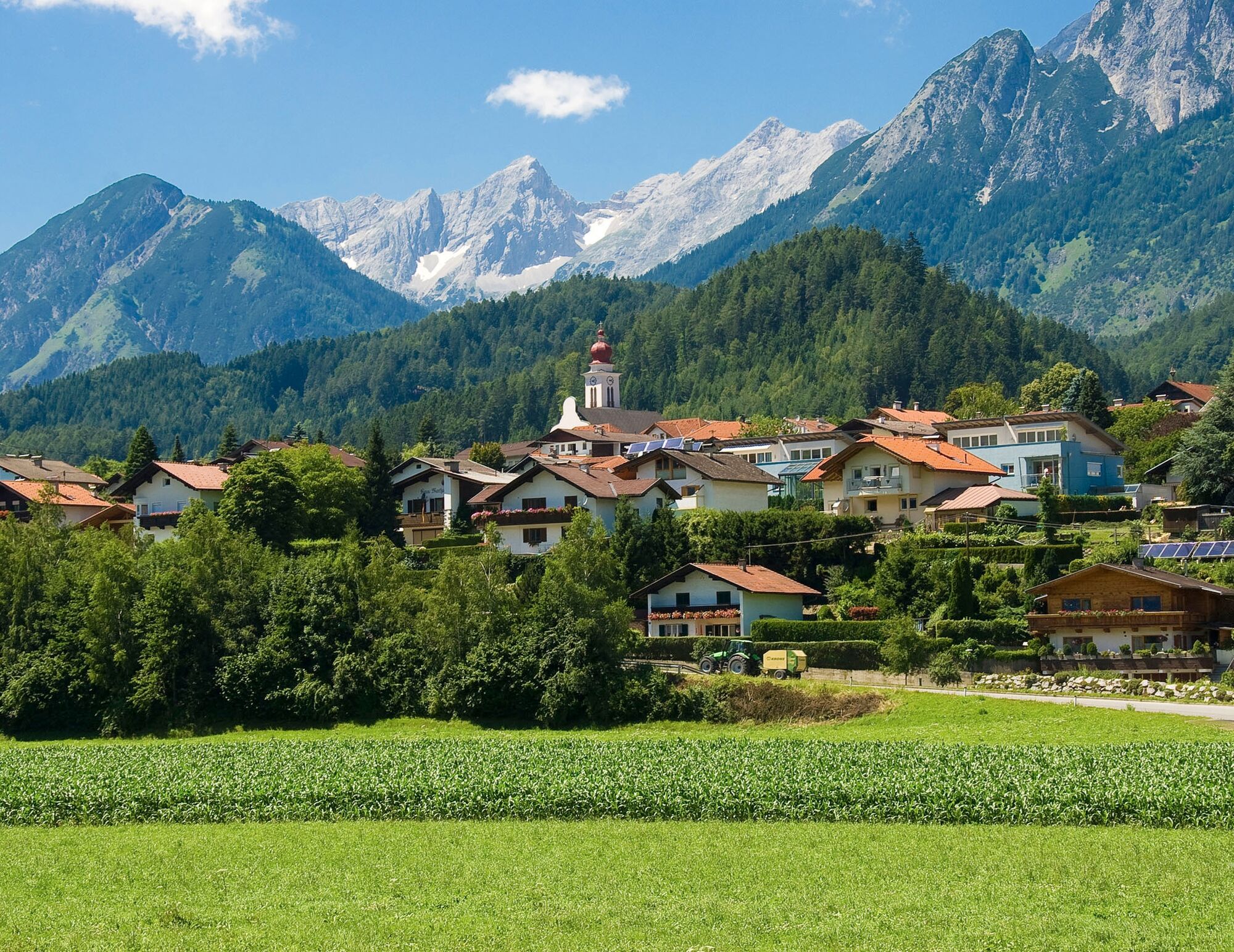

From the swimming pool parking lot, you first cross Wattens to run or walk on a beautiful gravel path above the Brandhof to the lovingly maintained Lourdes Chapel.
Shortly before Kolsass, the route crosses the federal road and leads across the fields towards Wattens. There, you take the bike path to finally return to the starting point in Wattens.
Magnificent views and the interesting route make this running and Nordic walking route a great experience.
From Germany: Border crossing Kiefersfelden - Kufstein - about 65 km to Wattens via highway A 12 - exit 61-Wattens - take the first exit at the roundabout - turn right onto Doktor Karl-Stainer Straße
From Italy: Border crossing Brenner to Innsbruck - about 20 km to Wattens via highway A 12 - exit 61-Wattens - take the first exit at the roundabout - turn right onto Doktor Karl-Stainer Straße
From Switzerland : Landeck - highway to Hall approx. 90 km -> exit 61-Wattens - take the first exit at the roundabout - turn right onto Doktor Karl-Stainer Straße
It is possible to reach the town center of Wattens by "Line 456" from Hall i. T. or Innsbruck.
From there, it is about a 15-minute walk to the starting point.
Further information at:
www.vvt.at
There are parking facilities directly at the starting point.
Spletne kamere s turneje
-
Hüttegglift
-
Wattens - Swarovski Kristallwelten
-
Schiestlhof
-
Hüttegglift
-
Swarovski Kristallwelten
-
Swarovski Kristallwelten
-
Swarovski Kristallwelten
-
Swarovski Kristallwelten
-
Swarovski Kristallwelten
-
Hüttegglift
-
Hüttegglift
-
Jägerhof
-
Jägerhof
-
Jägerhof
-
Jägerhof
-
Modellsportgruppe Unterland 6130 Schwaz (MSGU)
Pridobite vpogled
Vedno v živo na mestu z več kot 9.500 spletnimi kamerami. bergfex Kot uporabnik Pro si lahko zdaj ogledate ustrezne spletne kamere za številne izlete v aplikaciji izleti iz. Tako si lahko neposredno ogledate trenutne razmere.

Priljubljeni izleti v okolici
-
5.0
Loassattel - Kuhmesser - Kellerjoch - Kellerjoch Kapelle - Hochebenweg - Loassattel
srednjaPohodništvo 8.70 km -
4.6
Hinterriss - Eng - Falkenhütte
srednjaPohodništvo 6.88 km -
4.8
Felix-Kuen via ferrata on the Hundskopf
težkoVia ferrata 2.18 km -
4.7
3 Almen Karwendelrunde MTB Route 408
težkoMountainbike 23.8 km -
4.7
Halltal - Bettelwurfhütte - Kleiner und Großer Bettelwurf
težkoVisokogorska tura 16.2 km -
3.5
Wolfsklamm-Stans
srednjaPohodništvo 2.66 km -
4.7
Hochfügen, Vier-Almen-Tour, Tirol/Österreich
svetlobaPohodništvo 7.82 km -
4.6
Wolfsklamm über Maria Tax
srednjaPohodništvo 5.50 km -
4.5
Sonnjoch
srednjaPohodništvo 11.2 km -
4.9
4-Gipfel-Tour zum Gilfert
srednjaPohodništvo 11.2 km
Pohodništvo in sledenje


Ne zamudite ponudb in navdiha za naslednje počitnice
Vaš e-poštni naslov je bil dodan na poštni seznam.





