


Trip Tirol ➤ The Silvretta High Alpine Road
Stopnja težavnosti: 1
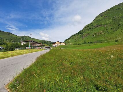
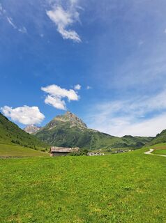
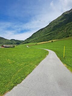
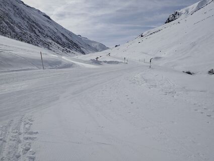
Fotografije naših uporabnikov
-
 © Simon LiranzoUstvarjeno na 16.10.2022
 -
 © Simon LiranzoUstvarjeno na 16.10.2022
 -

 © Anita SohlerUstvarjeno na 26.09.2022
 -
 © Anita SohlerUstvarjeno na 26.09.2022
 -
 © Anita SohlerUstvarjeno na 26.09.2022
 -
 © Anita SohlerUstvarjeno na 26.09.2022
 -

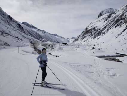
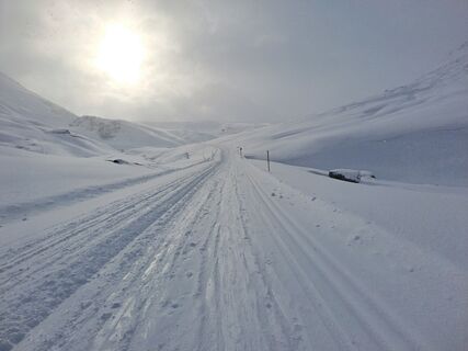
 © Clemens KaminskiUstvarjeno na 20.03.2026
 -
 © Clemens KaminskiUstvarjeno na 20.03.2026
 -
 © Clemens KaminskiUstvarjeno na 20.03.2026
 -
 © Petra WehrmannUstvarjeno na 04.03.2026
 -
 © Manfred BoschUstvarjeno na 28.09.2025
 -
 © Mark FreyUstvarjeno na 07.09.2025
 -
 © Patrick SchiphorstUstvarjeno na 06.09.2025
 -
 © Patrick SchiphorstUstvarjeno na 06.09.2025
 -
 © Christian LerchsterUstvarjeno na 01.07.2025
 -
 © Christian LerchsterUstvarjeno na 01.07.2025
 -
 © Christian LerchsterUstvarjeno na 01.07.2025
 -
 © Christian LerchsterUstvarjeno na 01.07.2025
 -
 © bergmax69Ustvarjeno na 24.02.2025
 -
 © bergmax69Ustvarjeno na 24.02.2025
 -
 © bergmax69Ustvarjeno na 24.02.2025
 -
 © Magnus MoserUstvarjeno na 14.02.2025
 -
 © Ralf UmmingerUstvarjeno na 25.09.2024
 -
 © Ralf UmmingerUstvarjeno na 21.09.2024

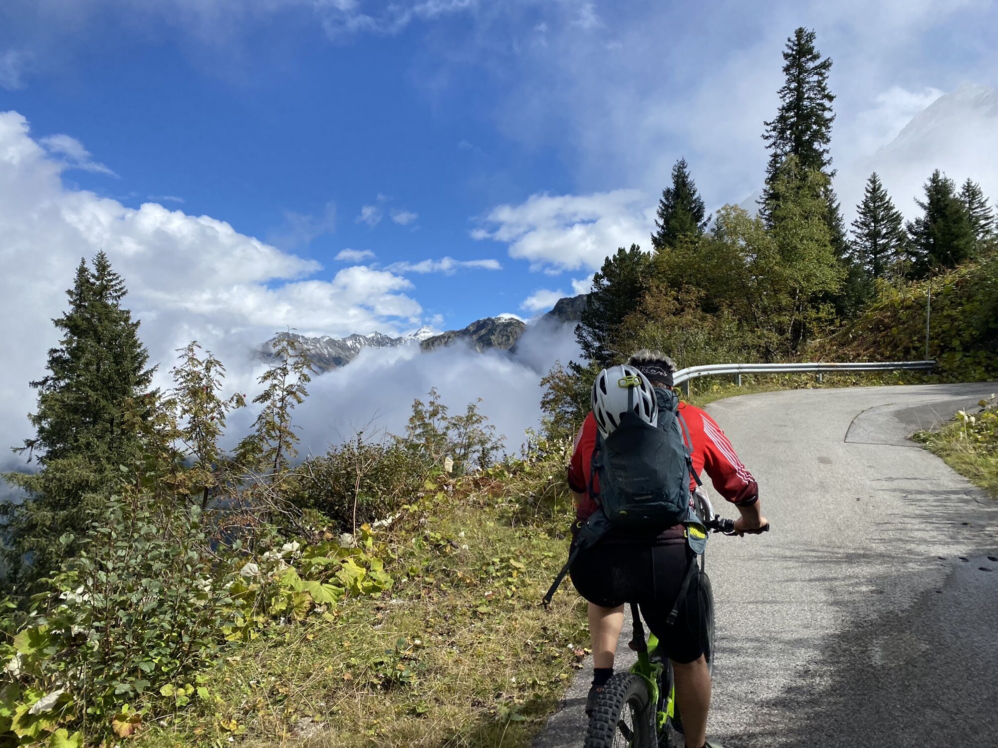


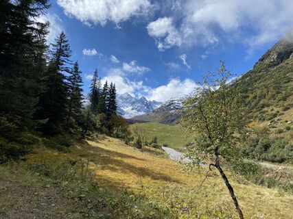
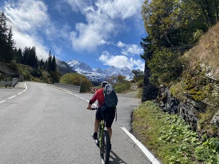
The summit can be reached via the Silvretta High Alpine Road from Partenen (Vorarlberg) or Galtür (Tyrol), one of the true dream roads of the Alps! The Silvretta-Bielerhöhe is a very popular biker meeting...
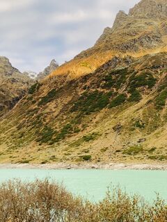
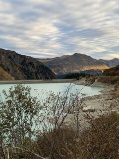
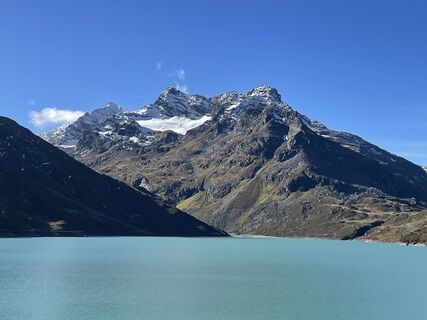
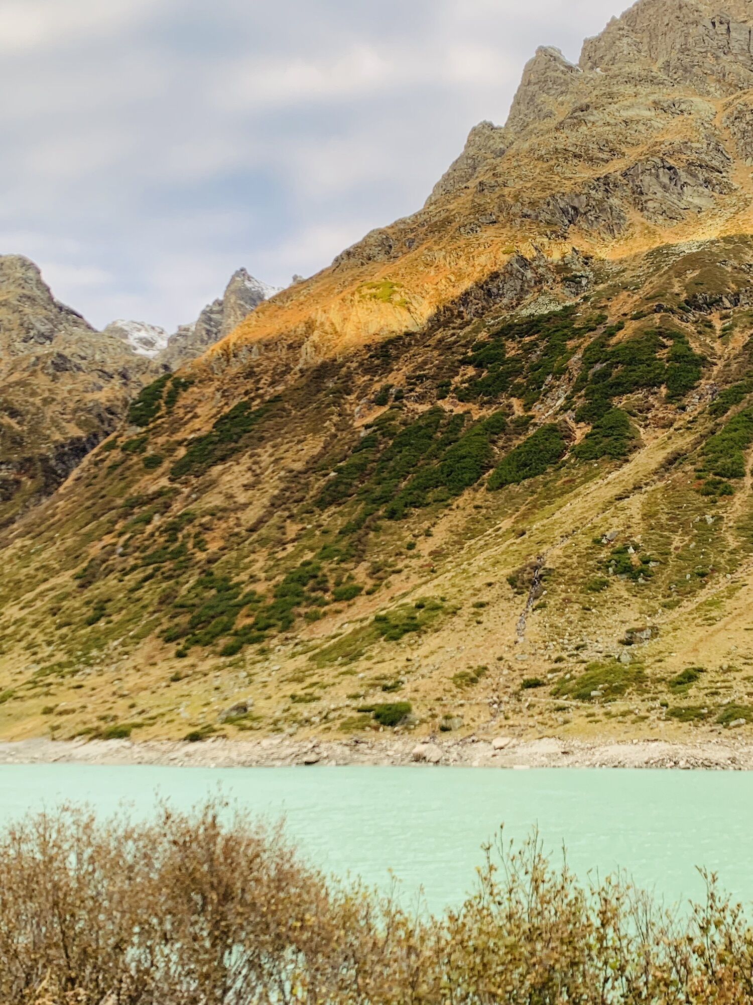
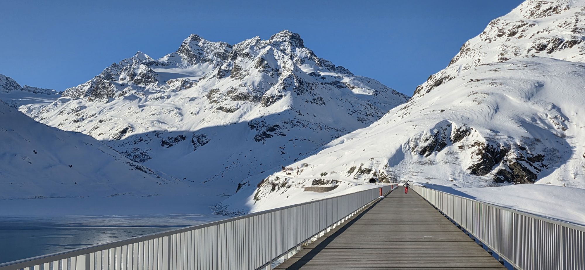
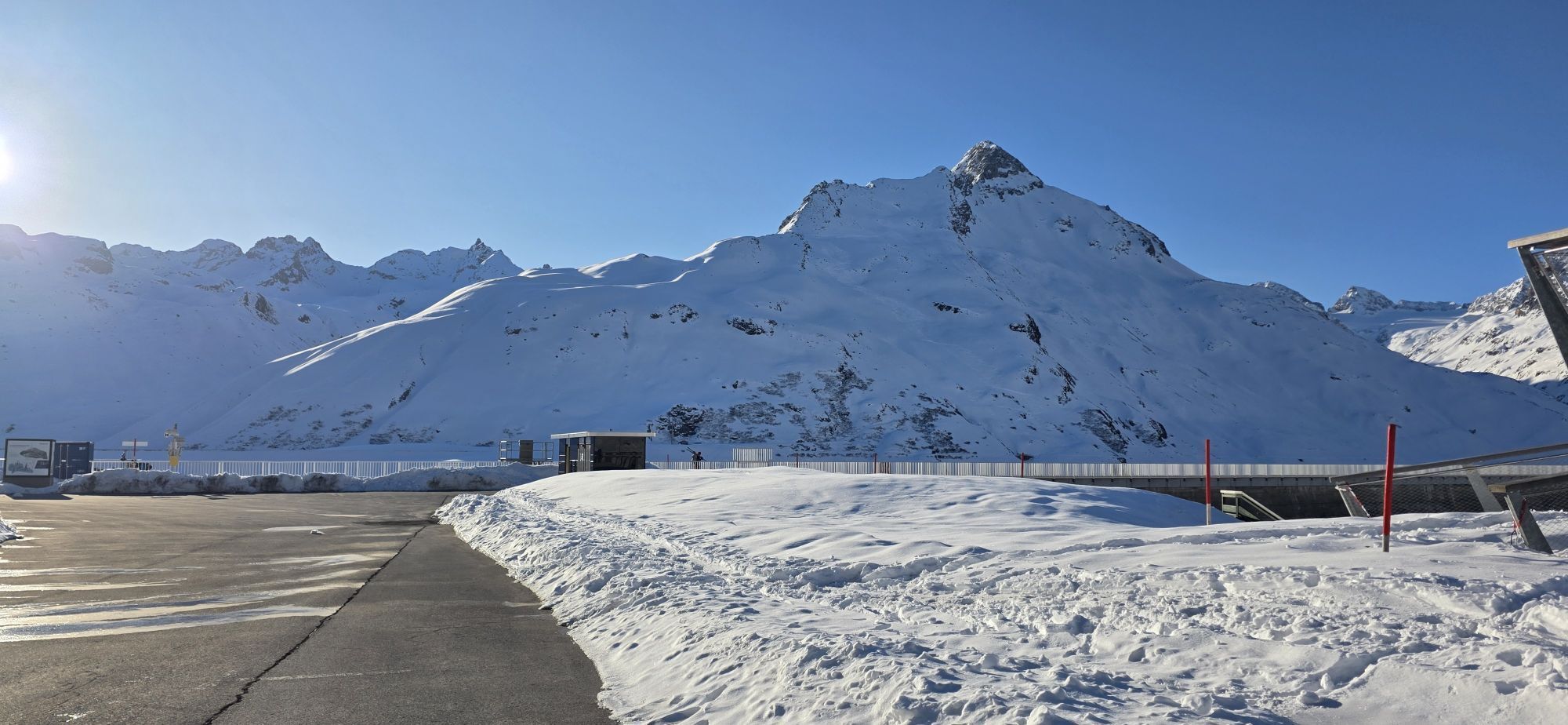
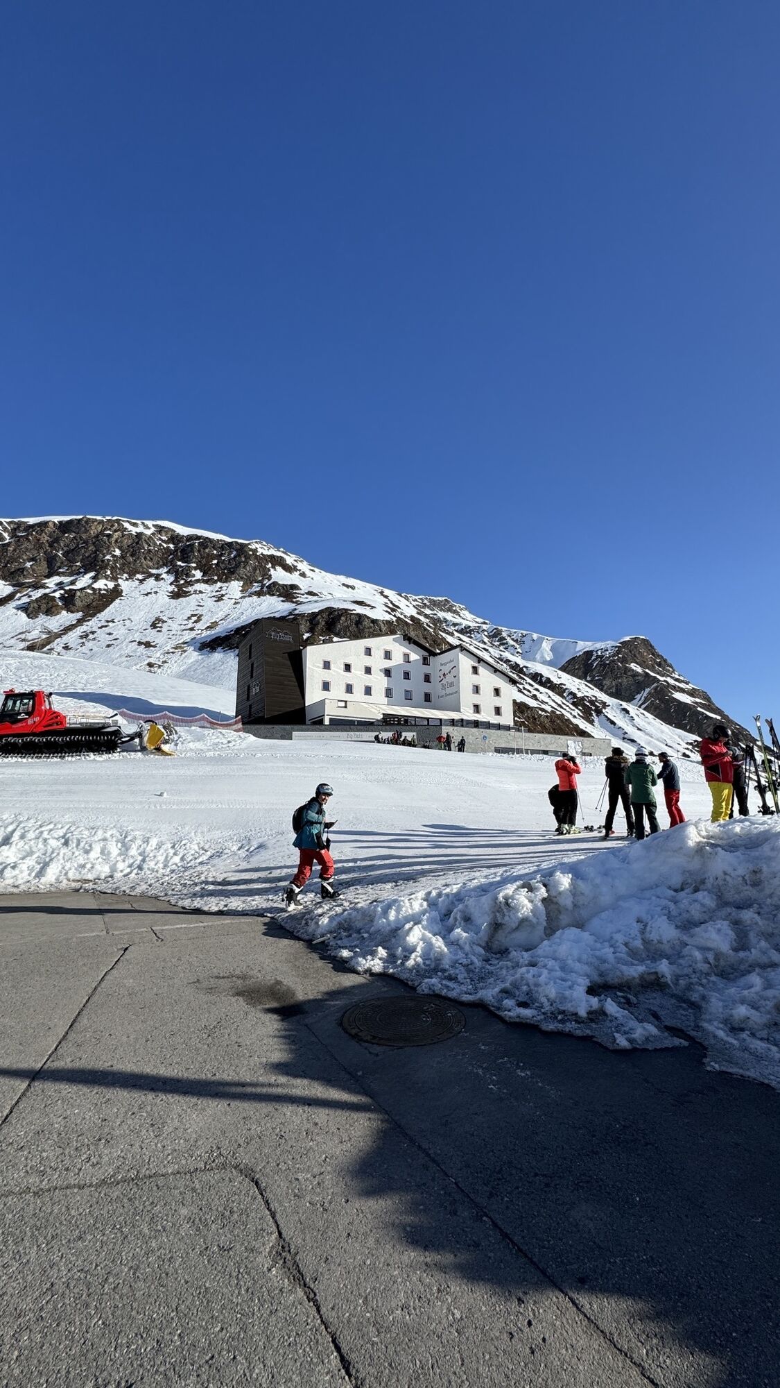
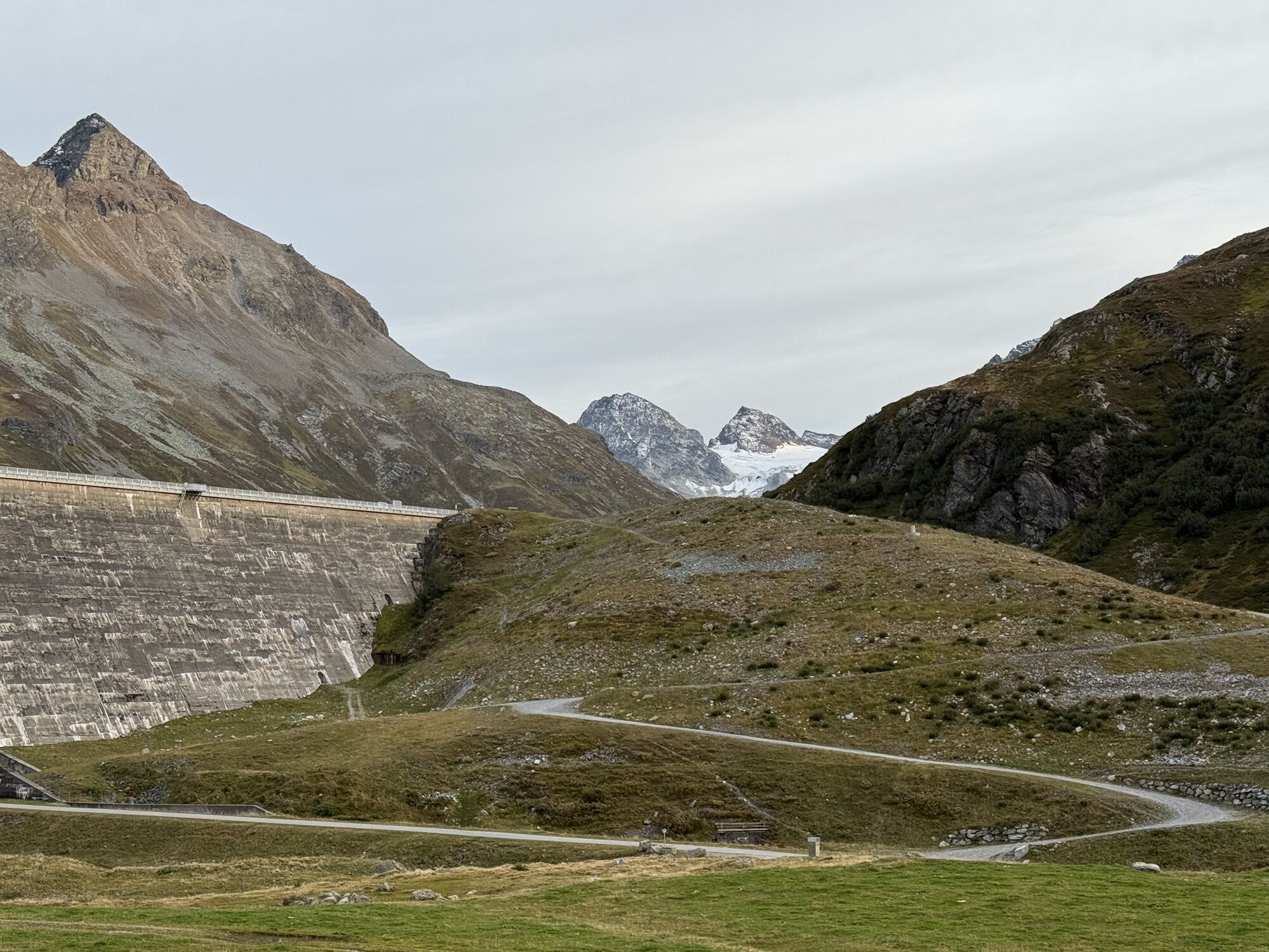
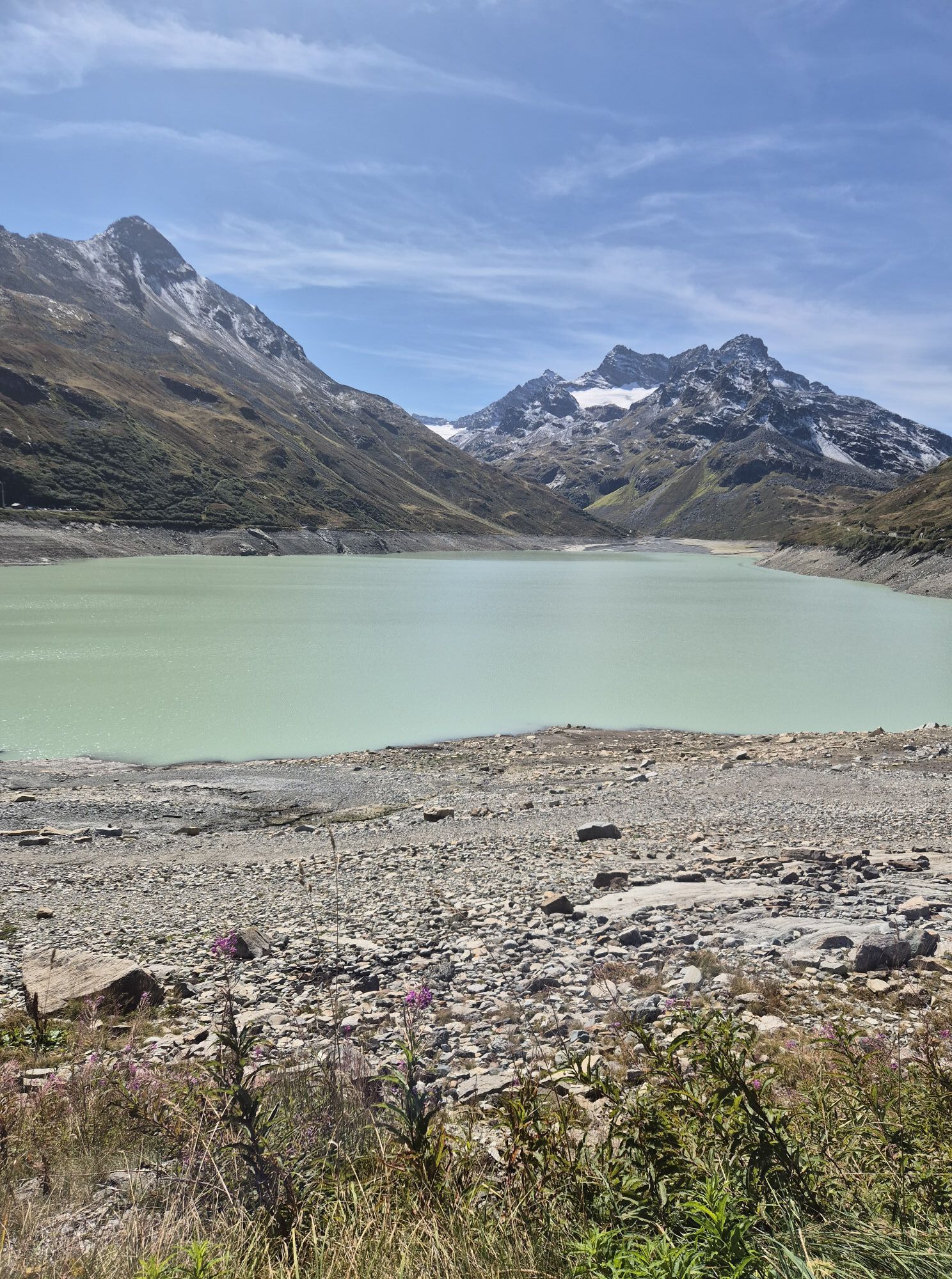
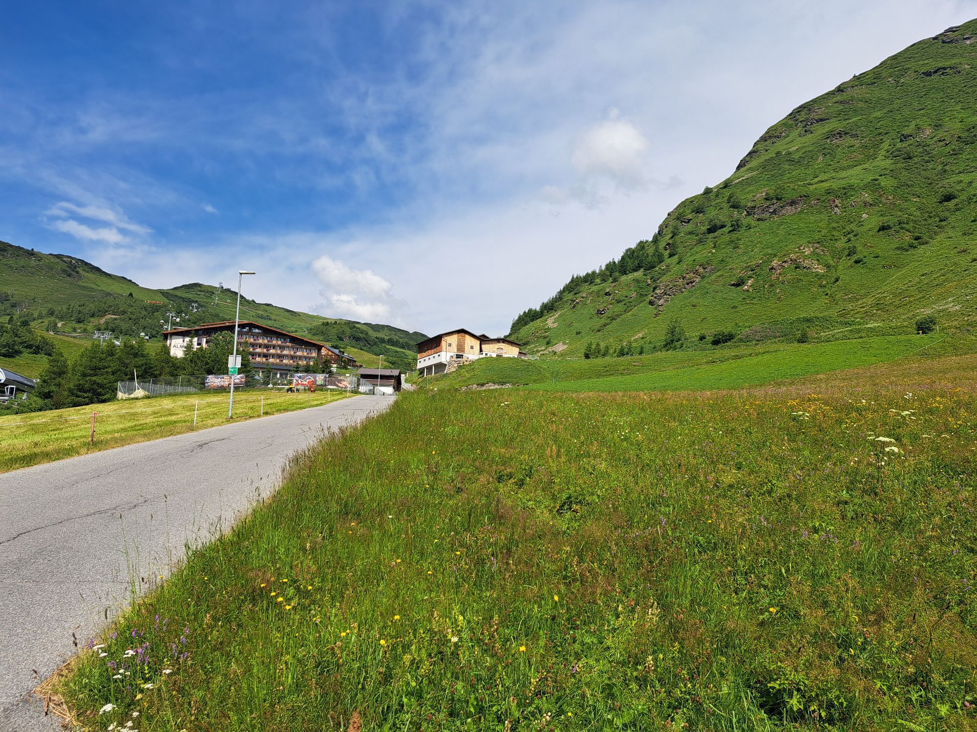
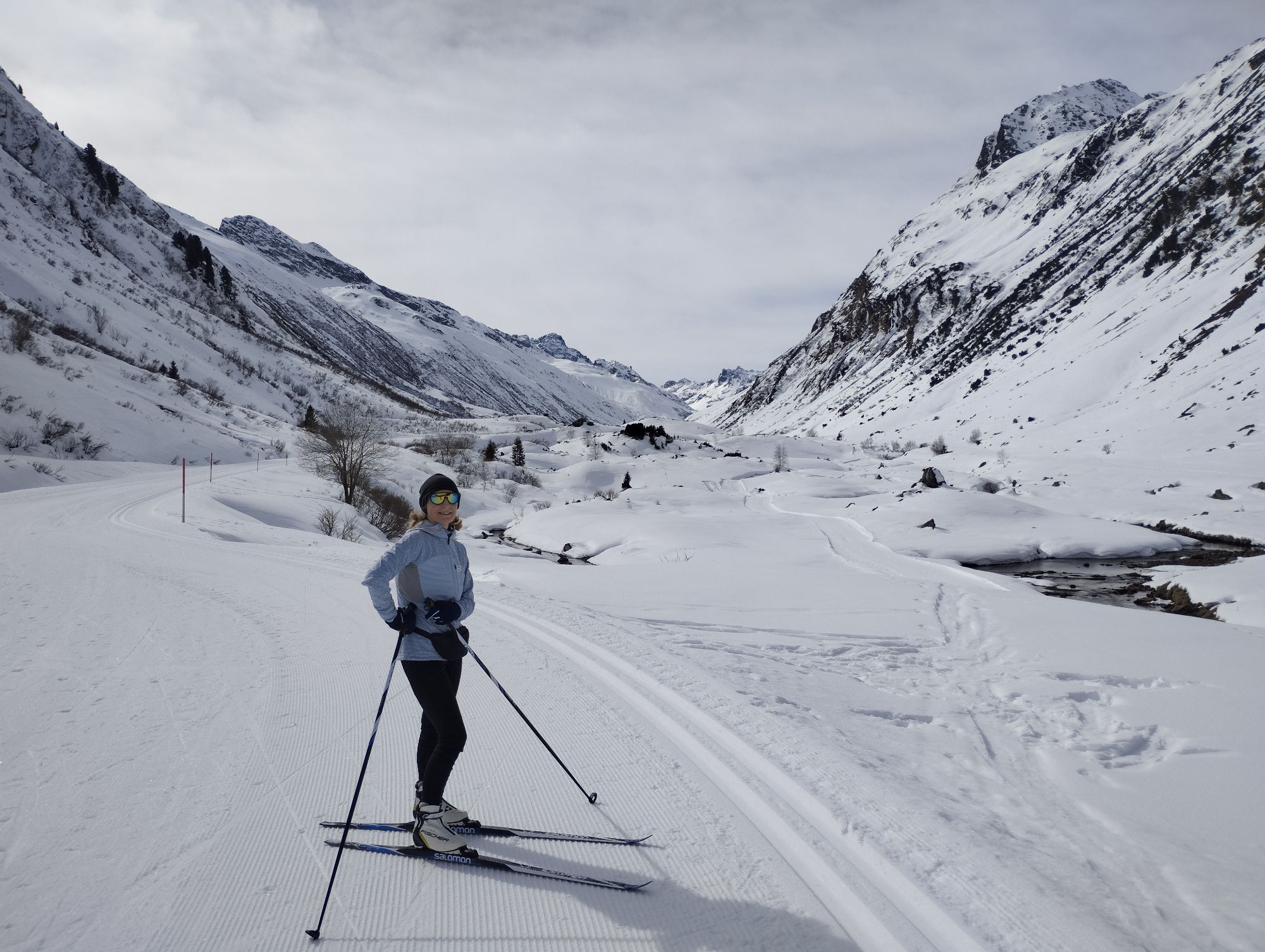
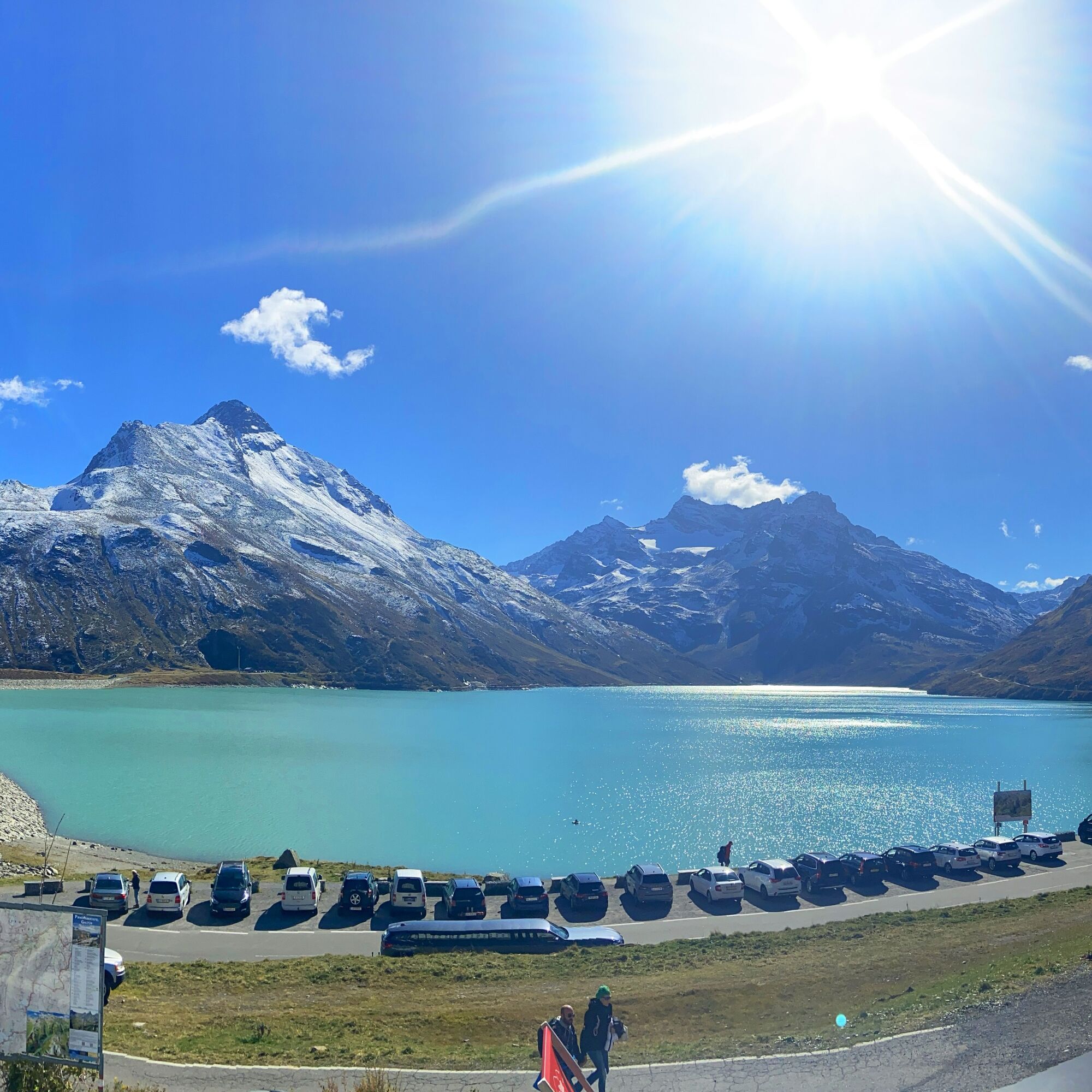
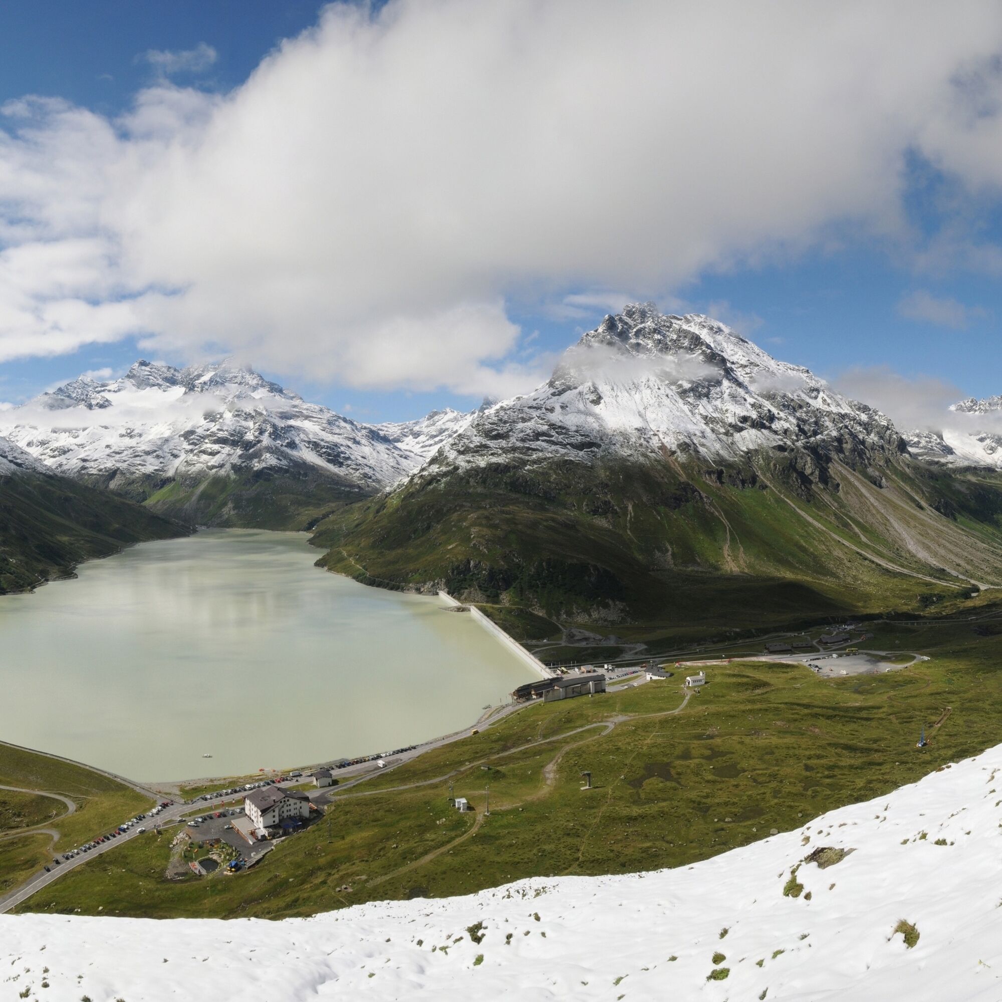
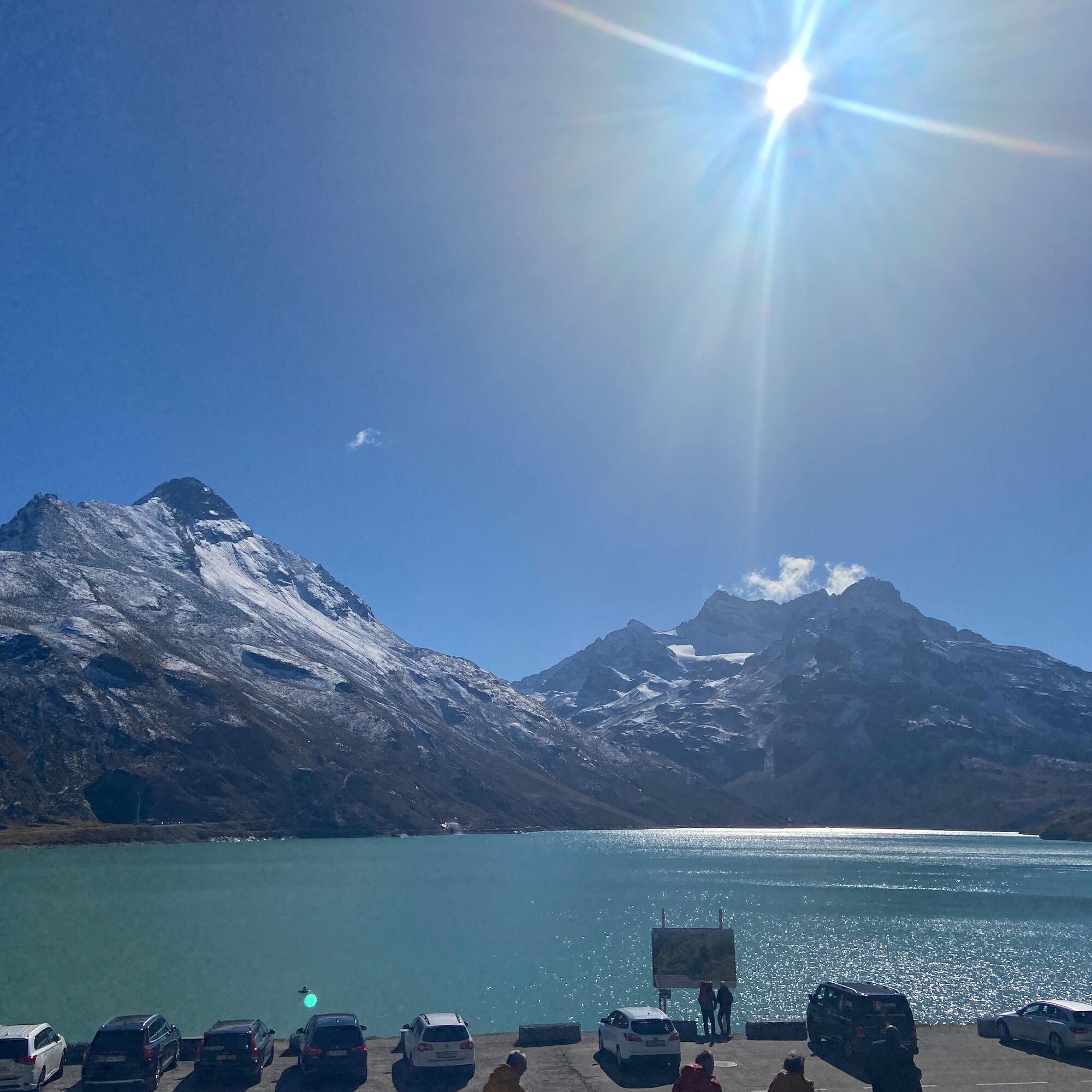
The summit can be reached via the Silvretta High Alpine Road from Partenen (Vorarlberg) or Galtür (Tyrol), one of the true dream roads of the Alps! The Silvretta-Bielerhöhe is a very popular biker meeting point, restaurants invite for a stopover, and the Silvretta House gladly offers overnight stays at an altitude of 2000 meters amidst breathtaking mountain scenery. The impressive Silvretta Lake is a very special experience and offers extraordinary, even unique views of the Silvretta mountain world. Those who want to do some hiking can visit the "Silvretta-Beach," a sandy beach on the shore of Silvretta Lake. Due to active pasturing along the road, animals occasionally appear on the roadway. The winter closure lasts from November to May. In winter, shuttle bus service operates in the upper section for the Bielerhöhe ski area.

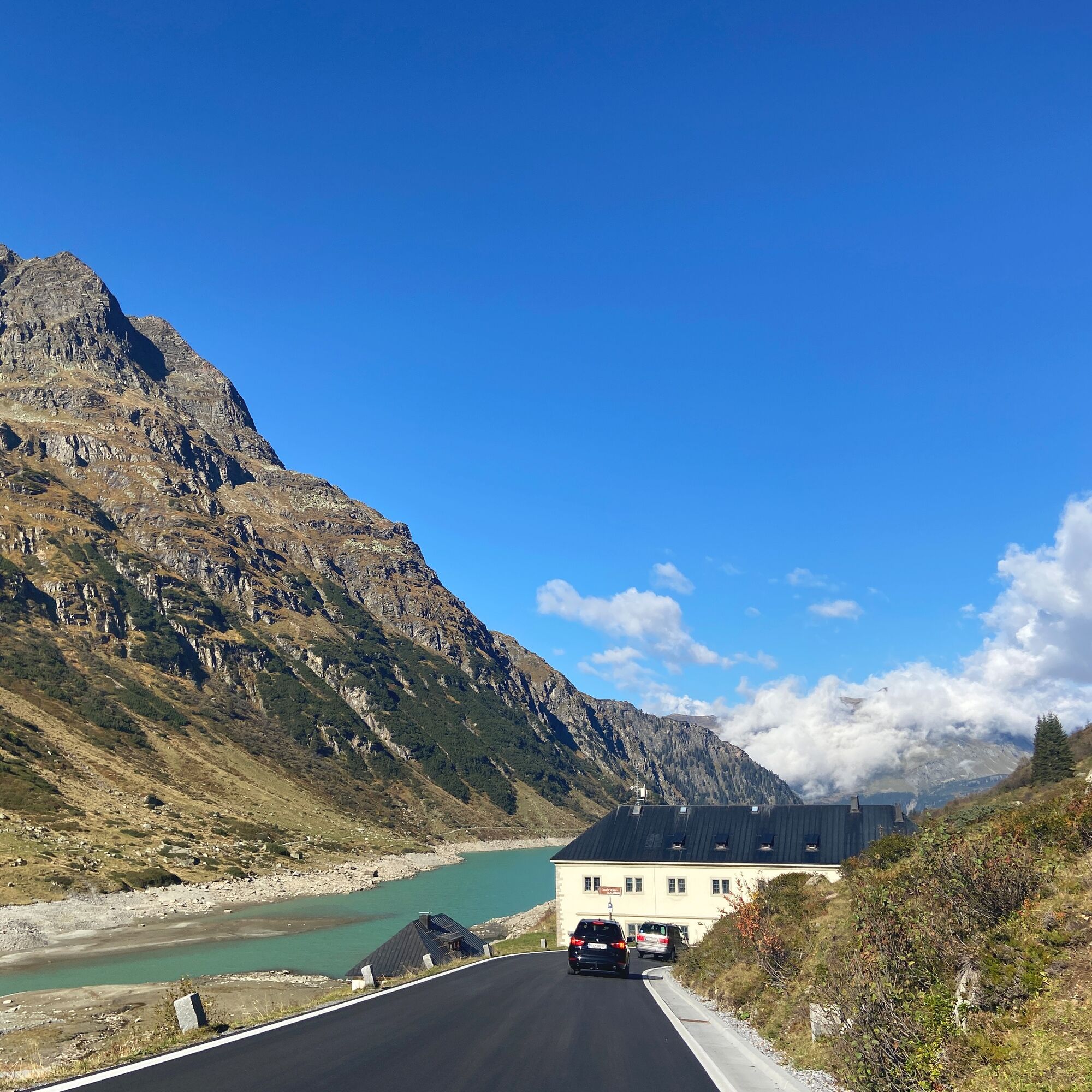
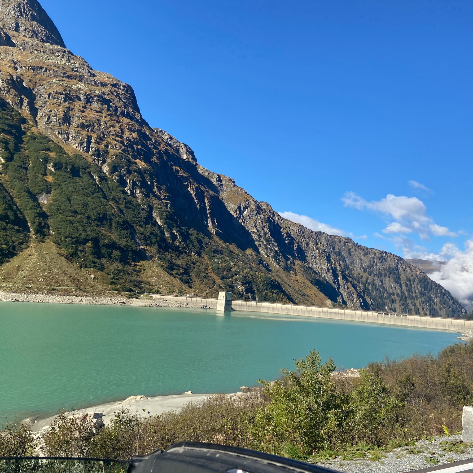
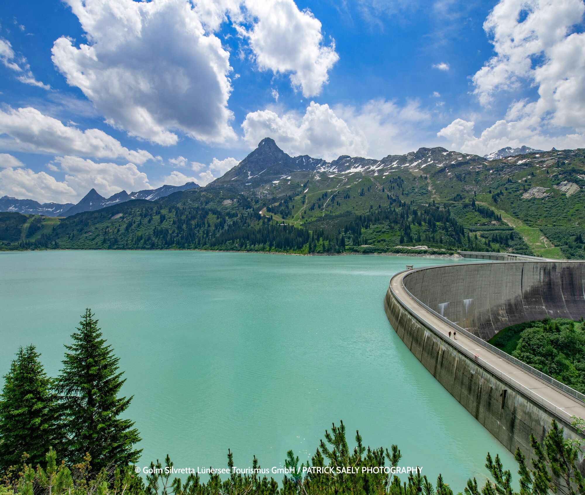
This road is an artificial creation, built for industrial traffic to the Silvretta reservoir located at the summit by the Vorarlberg power plant operator Illwerke AG. However, the route quickly became a tourist attraction itself and thus turned into the toll Silvretta High Alpine Road.
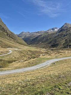
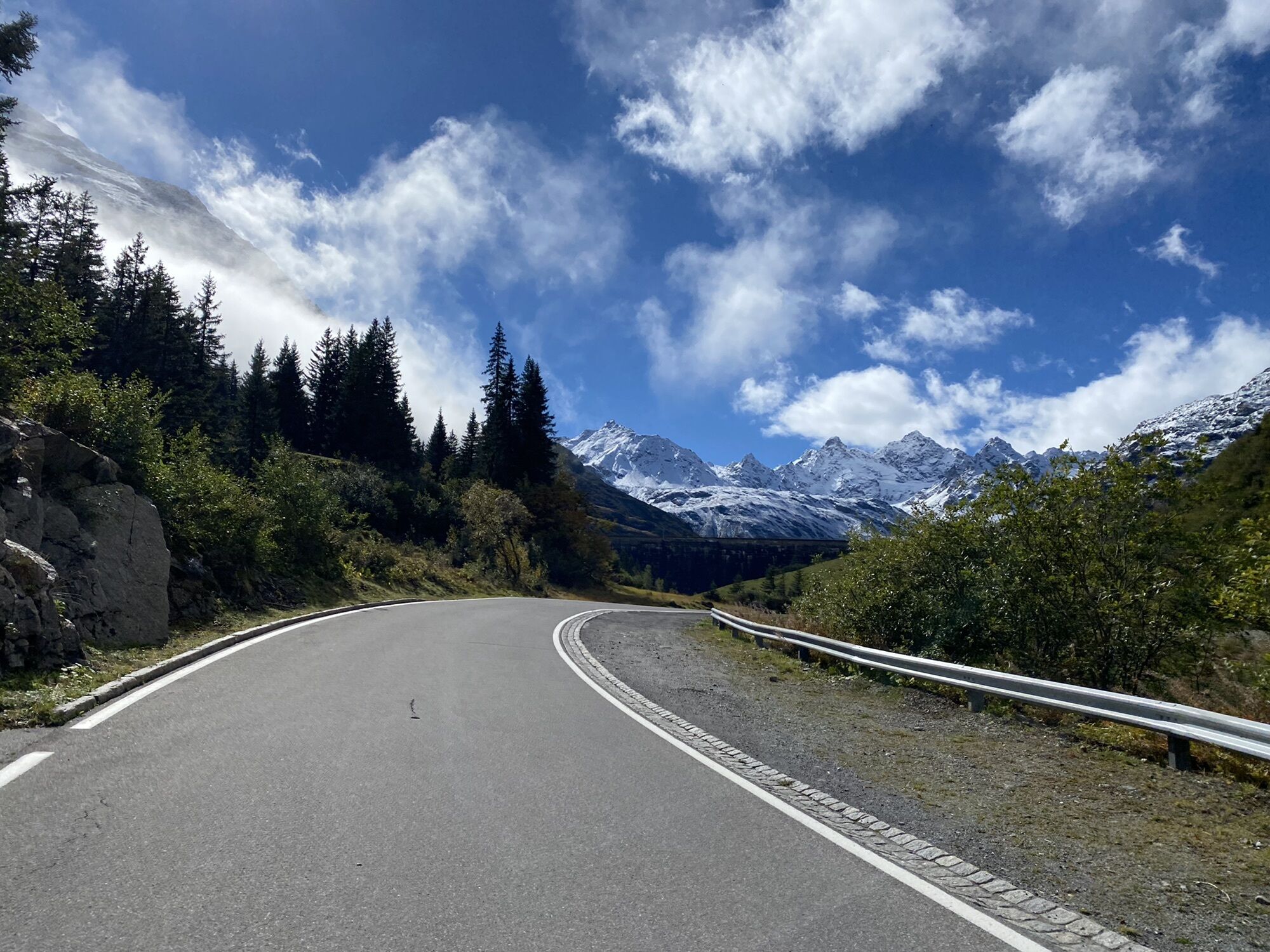
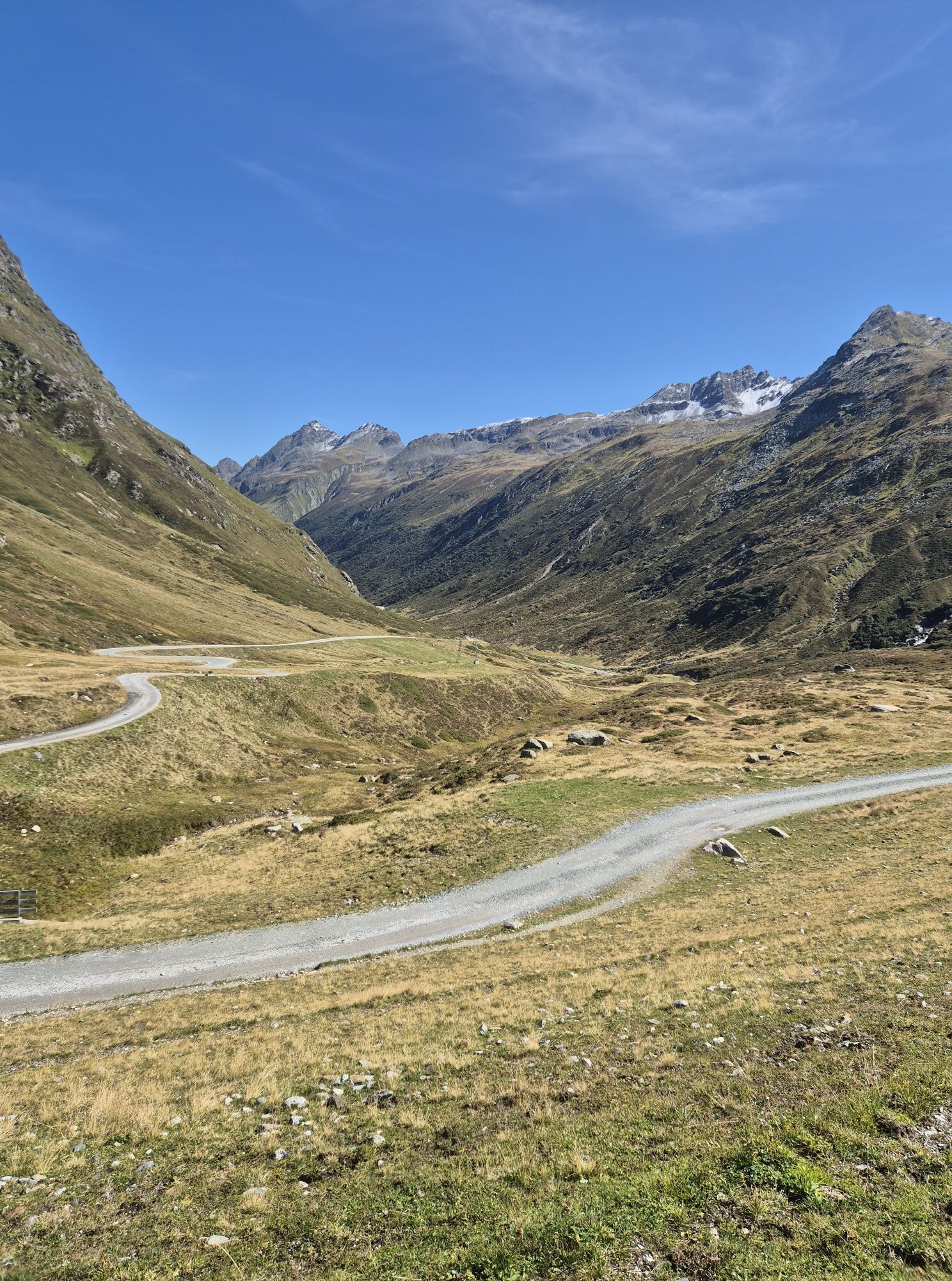
The pass summit is even above the actual peak, which is occupied by the reservoir. On the western ramp, the road overcomes 25 hairpin bends over only three kilometers as the crow flies, but on nine kilometers of paved road, it climbs 700 meters in elevation. The eastern ramp, on the other hand, runs quite straight and is easy to drive down to Galtür.
Motorcycle: ⤠Motorcycle helmet ⤠Motorcycle gloves ⤠Motorcycle boots ⤠Motorcycle jacket and pants
Convertible: ⤠Baseball cap ⤠Sunscreen ⤠Sunglasses ⤠Convertible?!?
Always pay attention to the road surface
From Vienna: Autobahn A12.
From Switzerland: Autobahn A12. Through the Arlberg road tunnel or toll-free via the Arlberg.
From Italy: A13 (Brenner Autobahn); the highway is tolled from Innsbruck South.
From East Tyrol: Arrival through the tolled Felbertauern Tunnel or via the Pustertal.
Preferably with convertible or motorcycle
Book holiday offers in Tirol
1
This road is an artificial creation, built for industrial traffic to the Silvretta reservoir located at the summit by the power plant operator Illwerke AG.
Priljubljeni izleti v okolici
-
4.8
Hiking trail Piz Buin - view
srednjaPohodništvo 14.4 km -
5.0
Großer Piz Buin (3.312m), Normalweg 2019 über Ochsentaler Gletscher
težkoVisokogorska tura 24.1 km -
2.8
Bielerhöhe and circular hike around the Silvretta reservoir
srednjaPohodništvo 13.1 km -
4.8
Heilbronner lodge
srednjaPohodništvo 13.0 km -
4.4
Vom Kopssee zur Breitspitze Gemeinde Gaschurn, Vorarlberg/Österreich
srednjaPohodništvo 12.5 km -
4.7
Alpgues circular route
srednjaTematska pot 9.36 km -
4.4
Madrisella summit path
srednjaTematska pot 10.8 km -
5.0
Wiegensee-Kopssee
srednjaPohodništvo 8.17 km -
5.0
Wiegenseeweg
srednjaTematska pot 12.7 km -
4.8
Gargellner Window Path
srednjaTematska pot 7.21 km

Pohodništvo in sledenje


Ne zamudite ponudb in navdiha za naslednje počitnice
Vaš e-poštni naslov je bil dodan na poštni seznam.