







Atterkarjöchl 2976m - Längenfeld
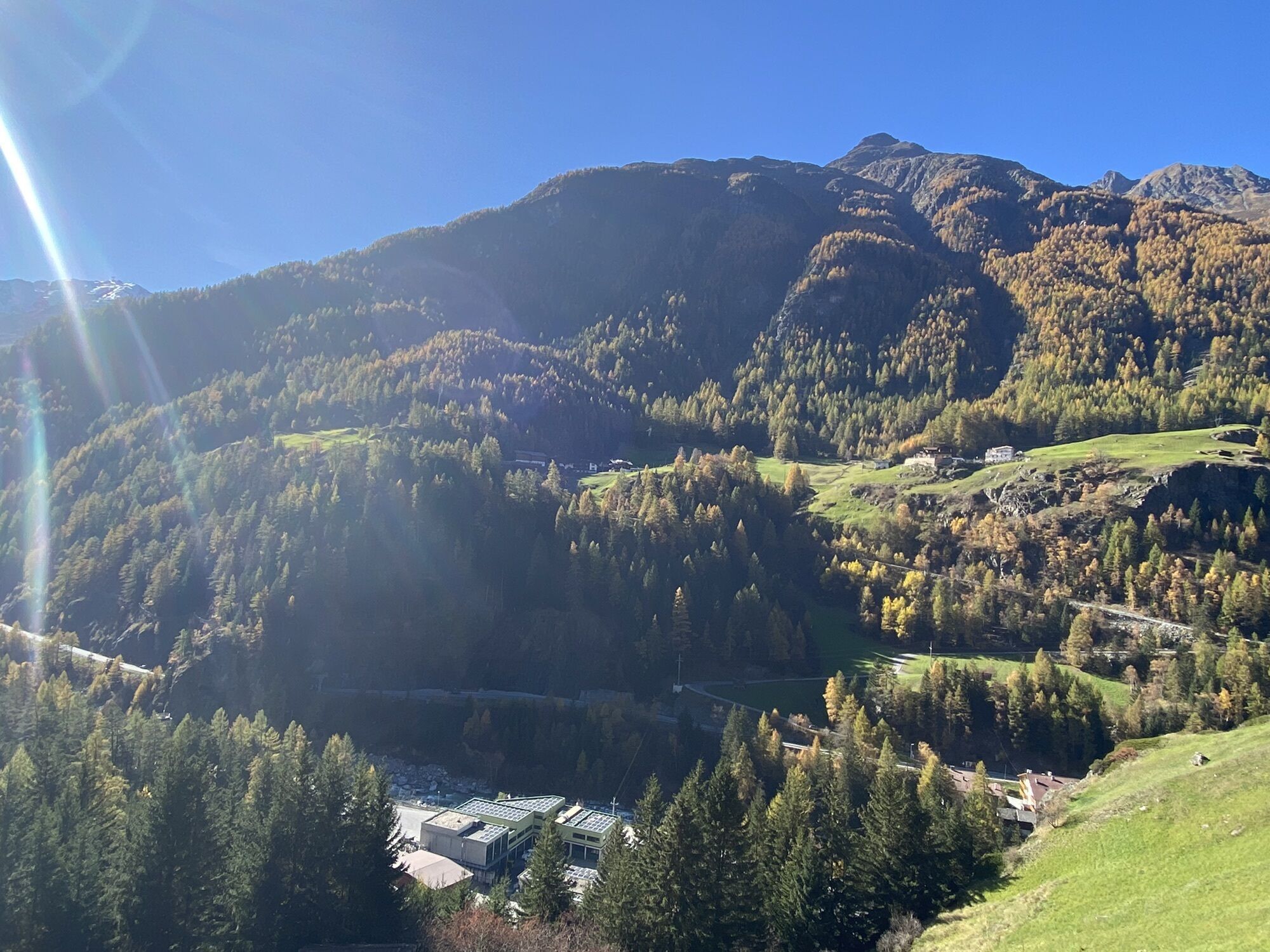
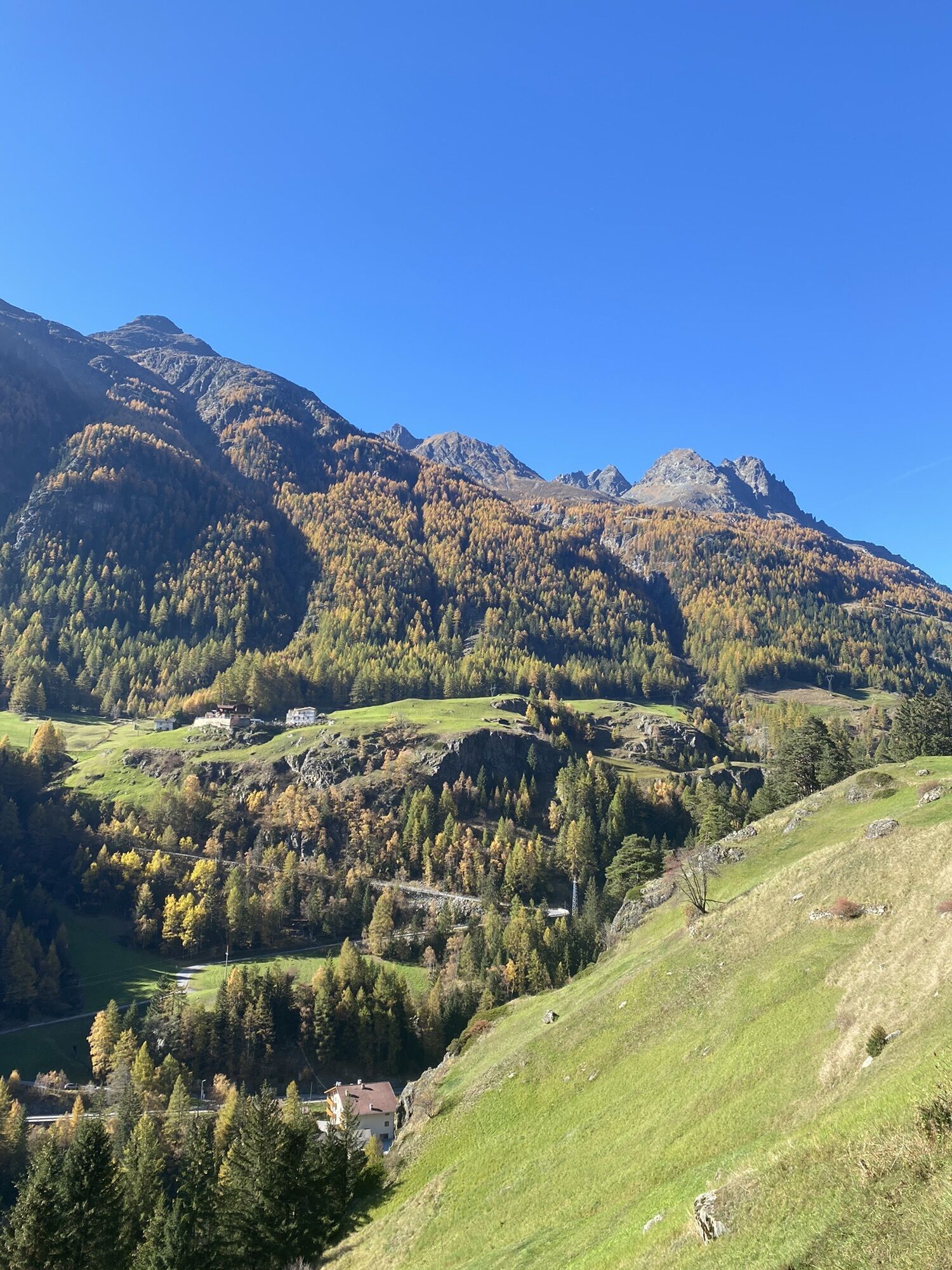
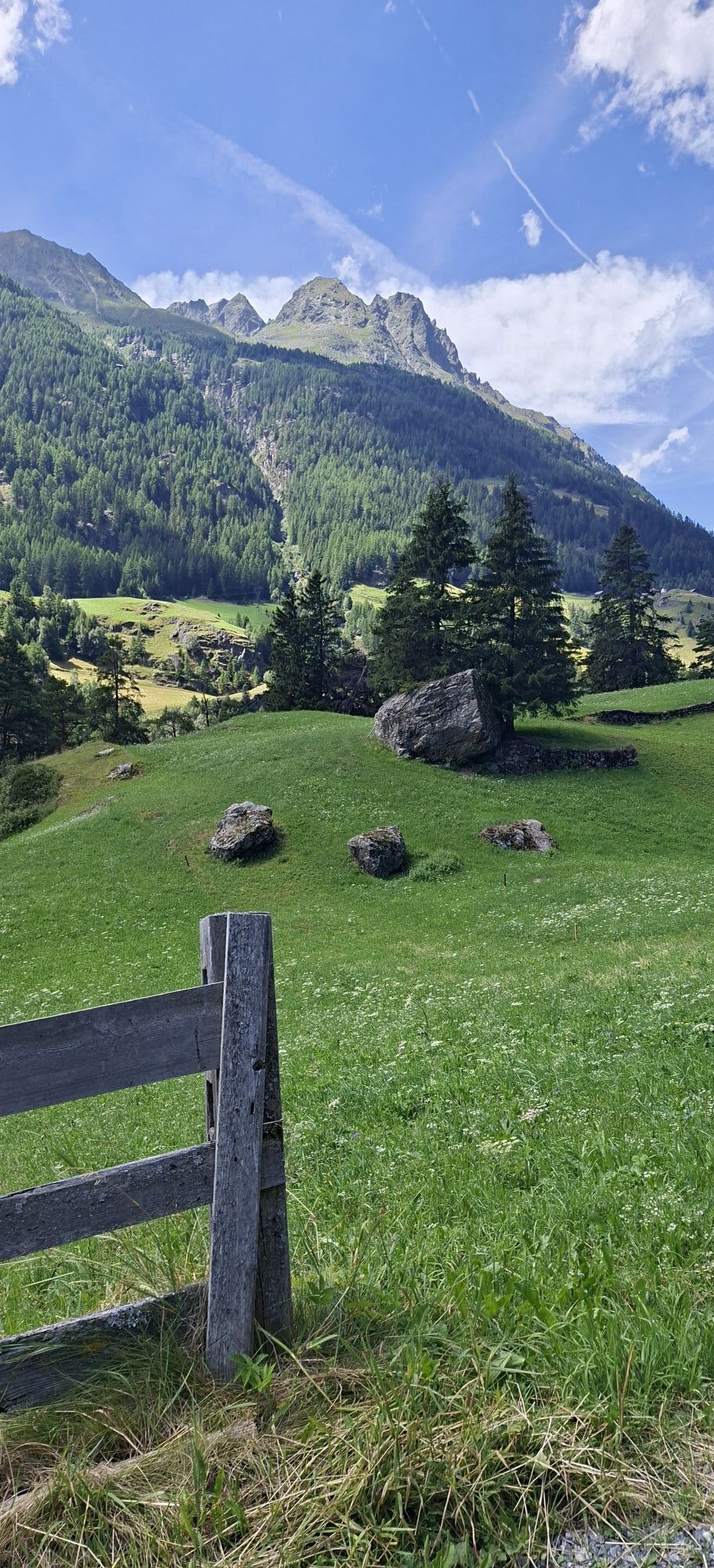
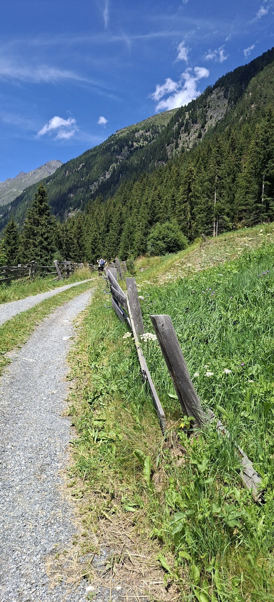
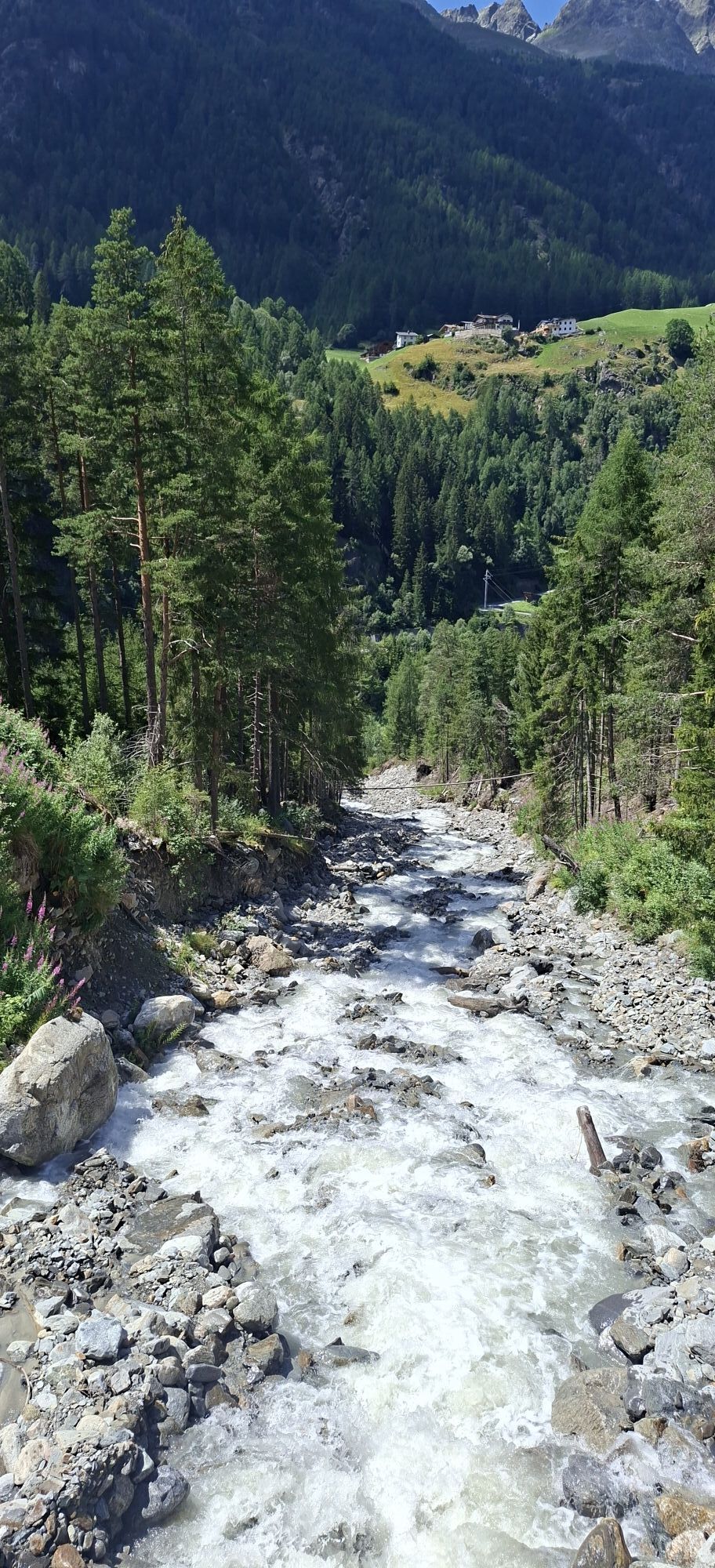
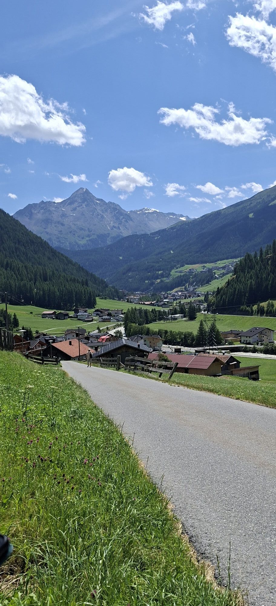
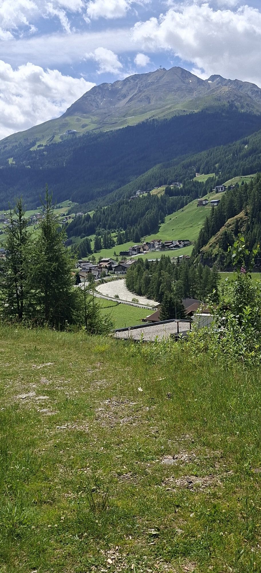
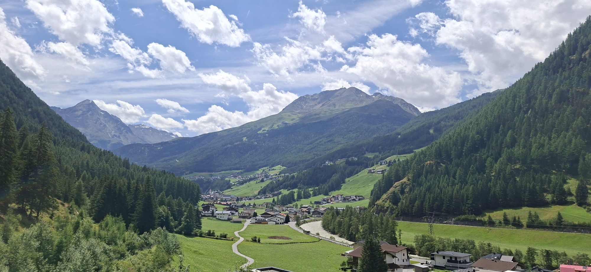
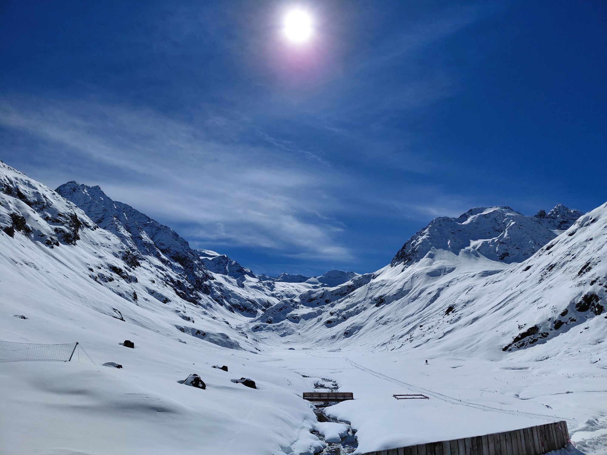
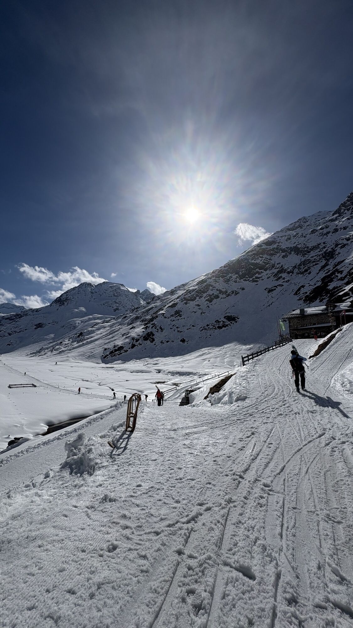
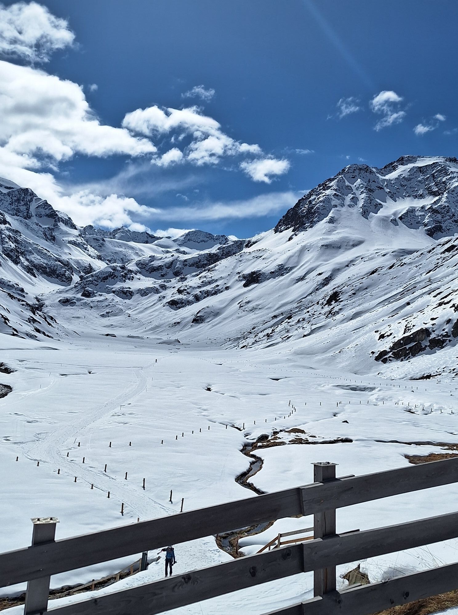
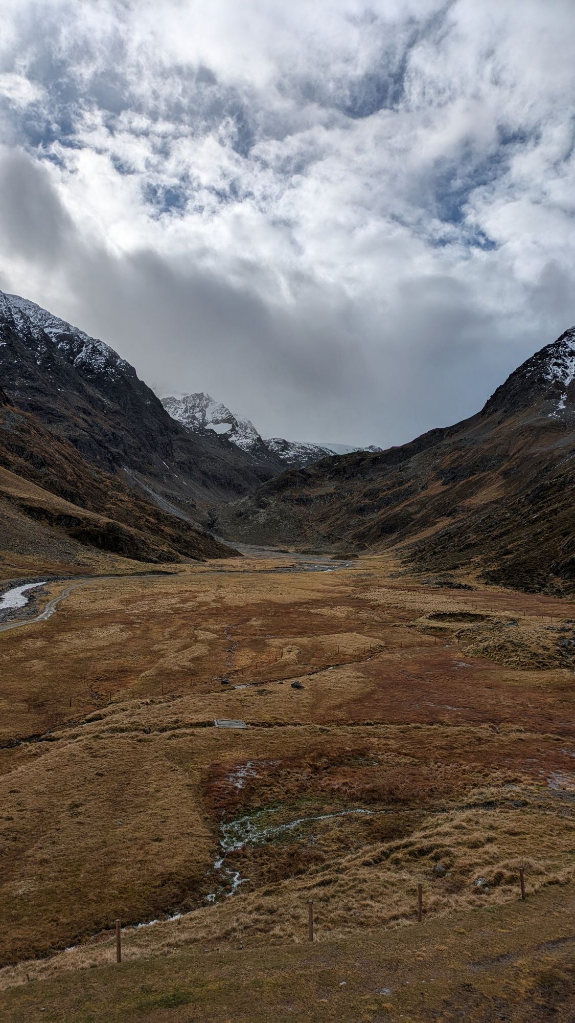
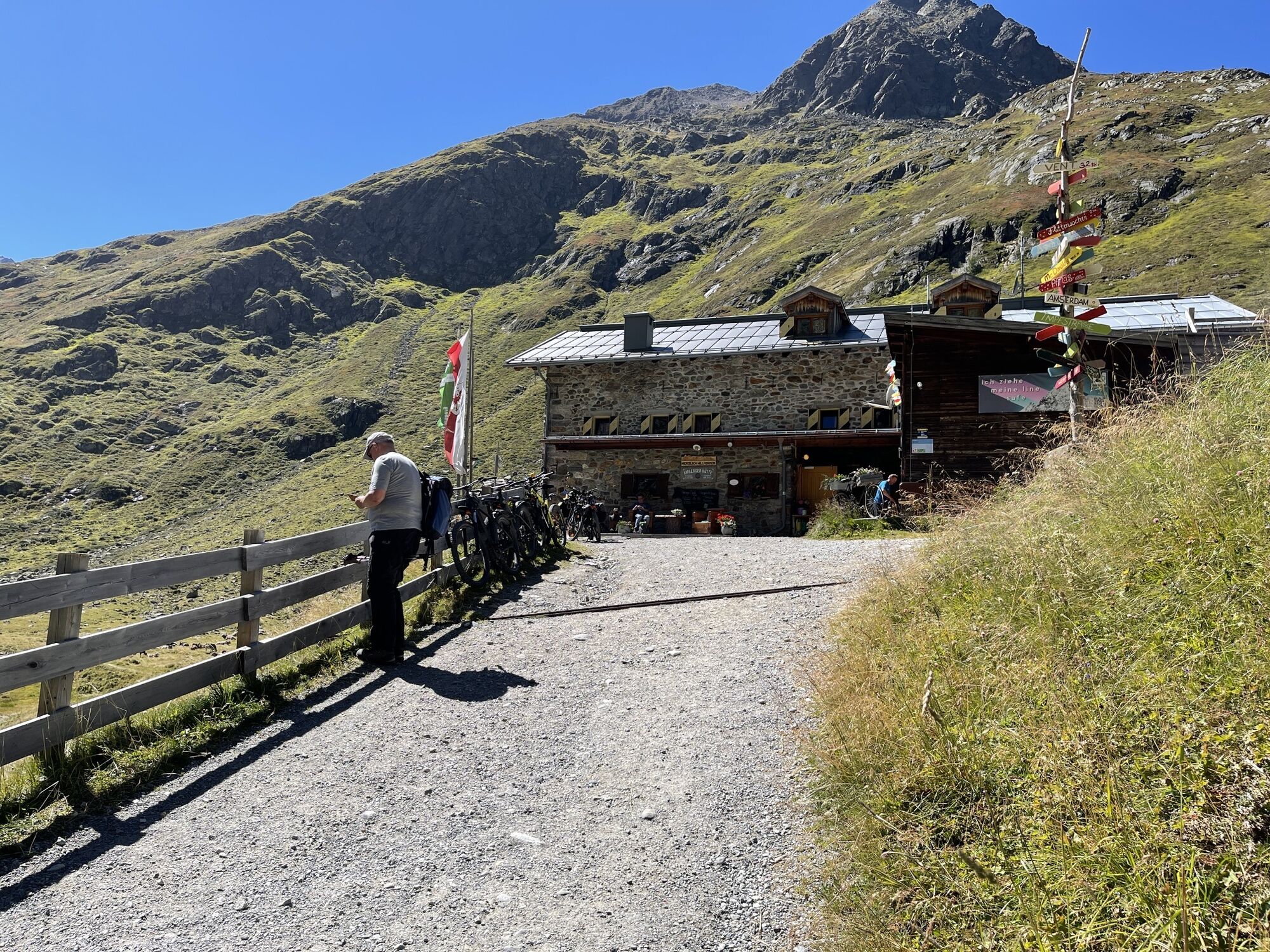
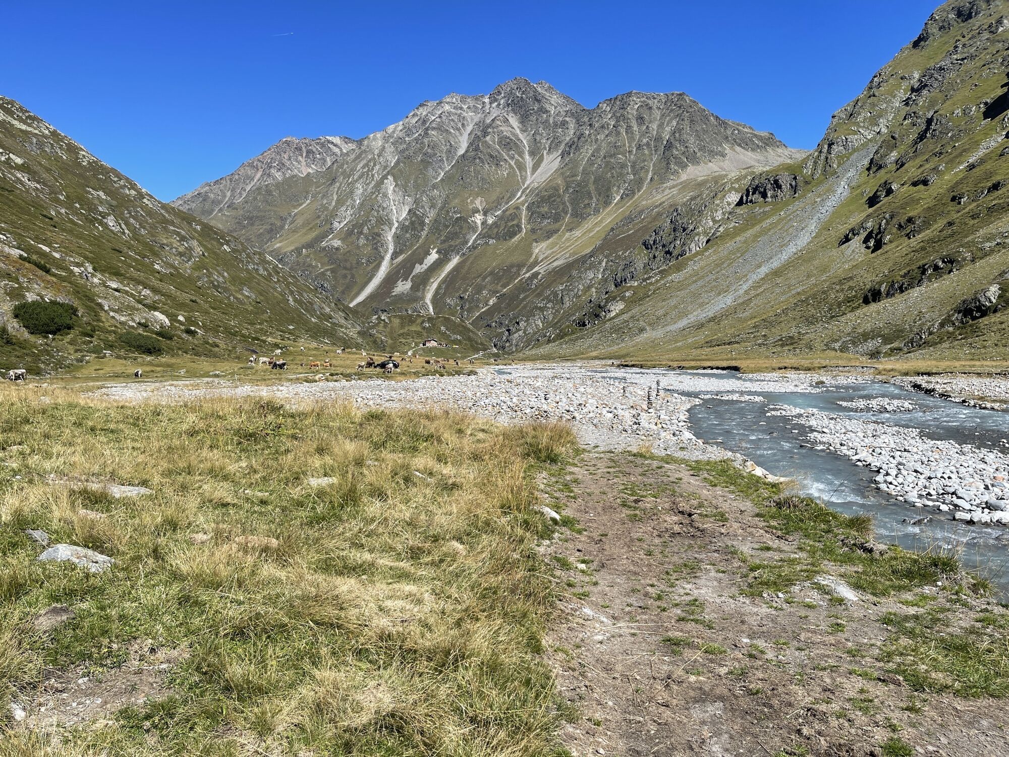
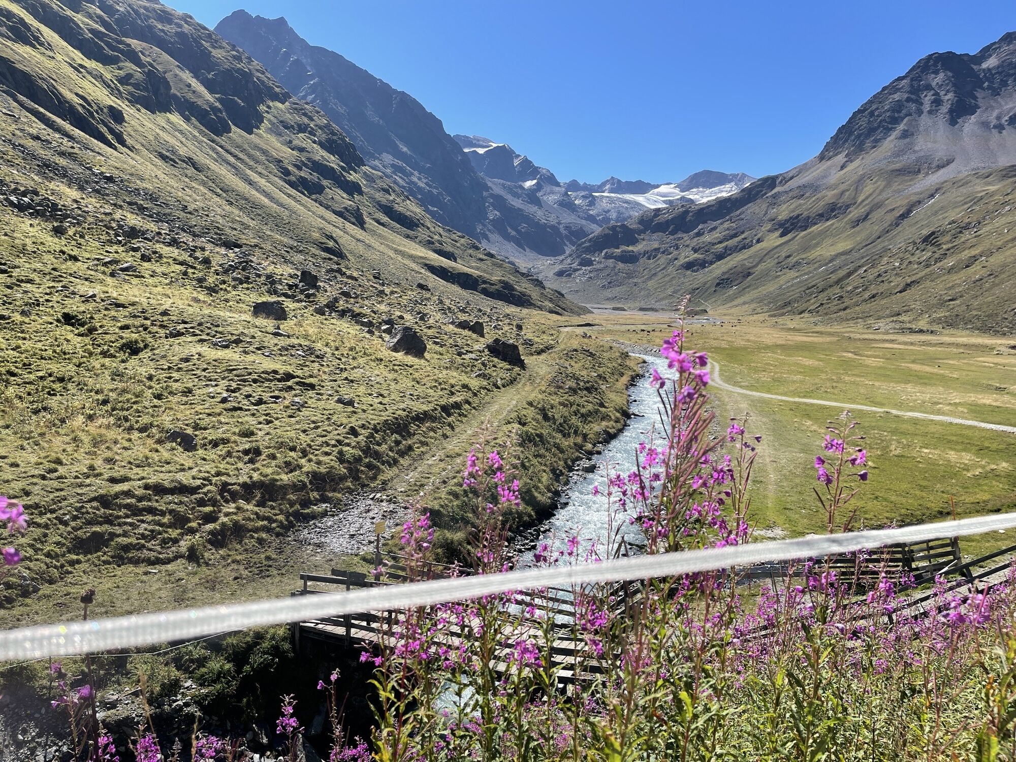
From the Amberger Hut, it goes on meadow paths towards the end of the Sulztal valley. After about 1.2 km, signage at Lausbühel shows the way #137 up to the right to the Atterkarjöchl. On a narrow stony...
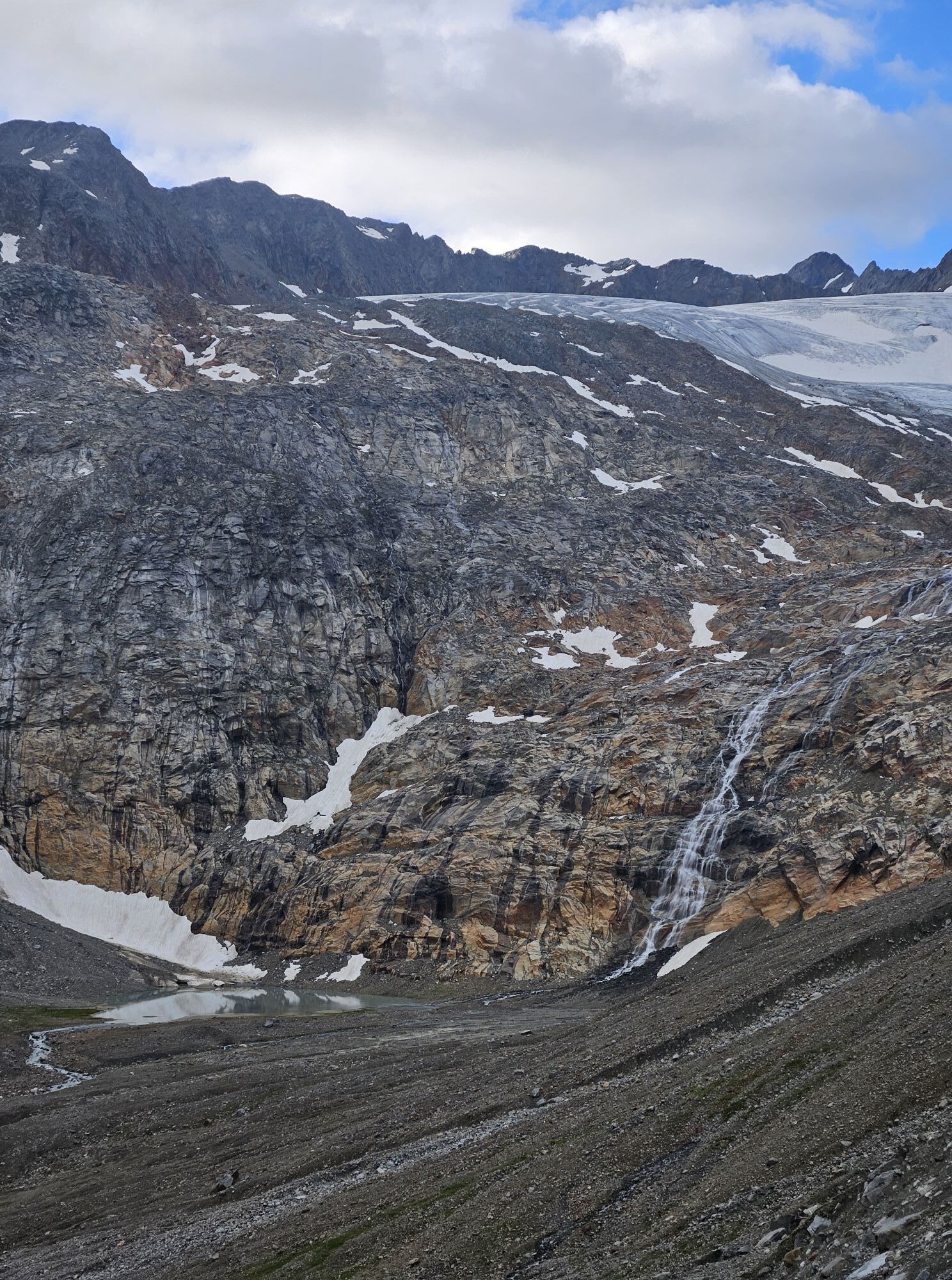
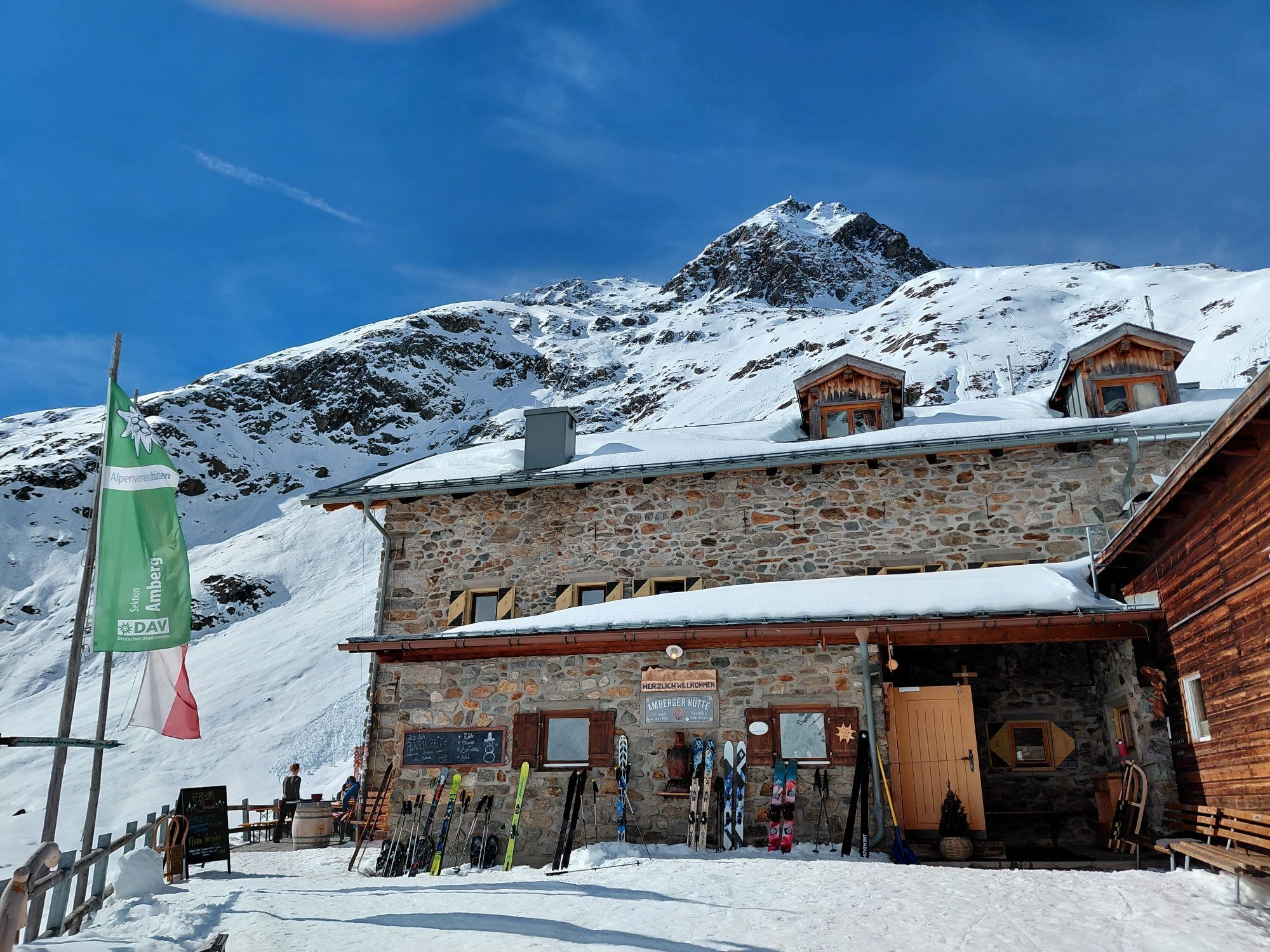
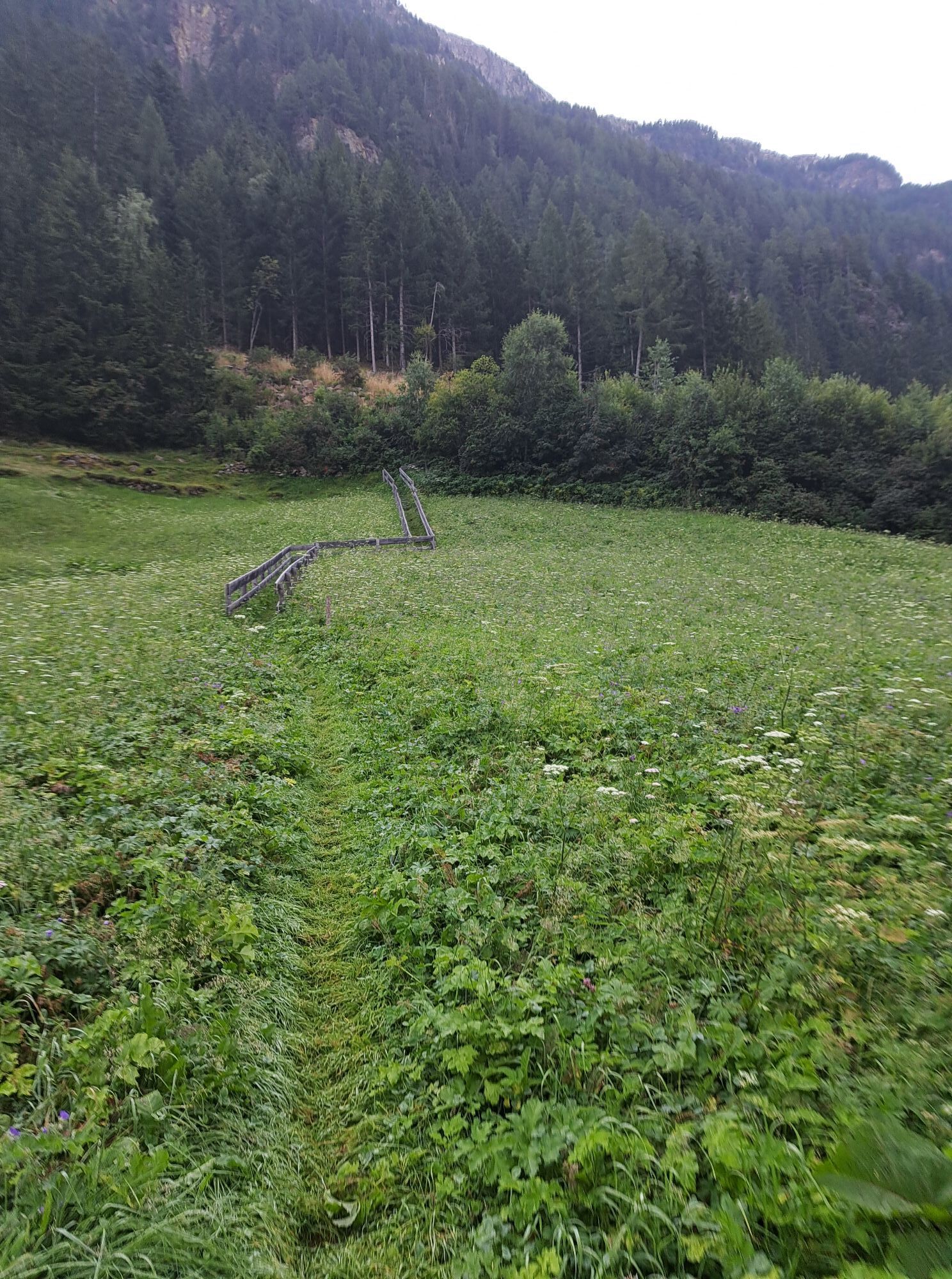
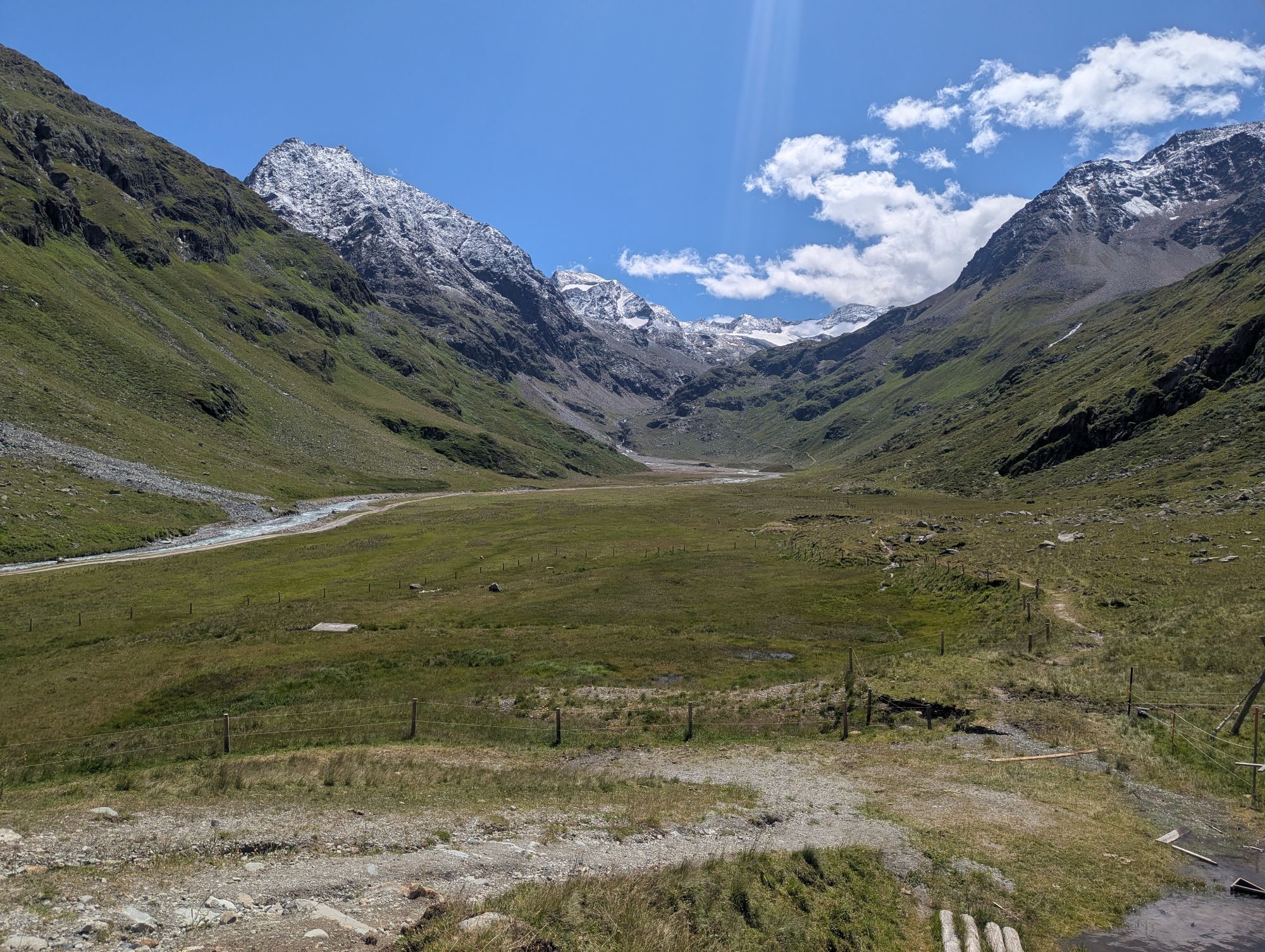
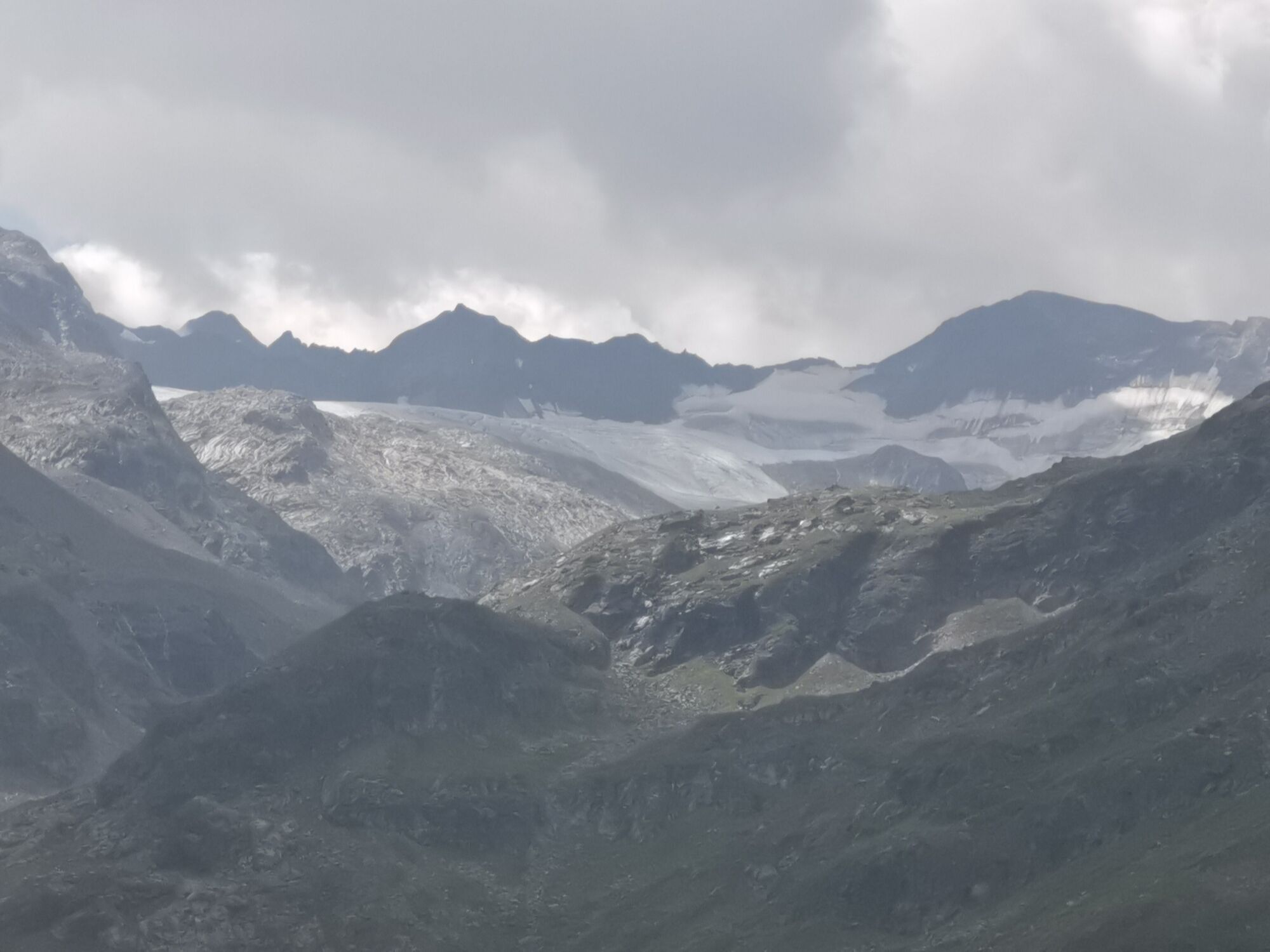
From the Amberger Hut, it goes on meadow paths towards the end of the Sulztal valley. After about 1.2 km, signage at Lausbühel shows the way #137 up to the right to the Atterkarjöchl. On a narrow stony path, it goes in wide arcs uphill through the Rosskar until ahead appears a glacier with a small glacier lake, bounded on the left by a ridge of stones and scree. Old maps often show the wrong route over this ridge, which, however, should not be used due to high risk of rockfall. Instead, the newly marked path now goes below the glacier lake through a slight hollow and then right past the glacier through the blocky terrain to the ice limit just below the pass, from where a path partially secured with steel pins and steel cable leads directly to the Atterkarjöchl. Now follows the descent towards the Ötztal, initially very steep and exposed, requiring very good sure-footedness due to loose ground. After a few minutes, this steep section is overcome and it continues on increasingly better paths into a beautiful high valley over a raised bog area along a small mountain stream. From about 2300m altitude, it becomes steeper again and the long descent into the Ötztal begins. Along the way, you pass by partially dilapidated huts that may offer weather protection, but none of the alpine pastures are managed.
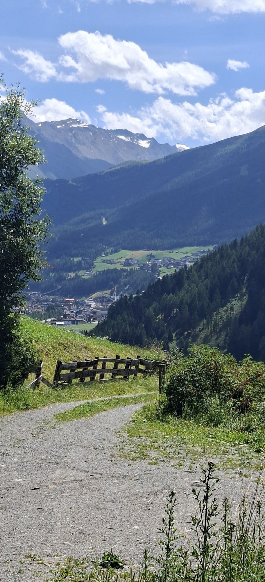
Once in the valley, the path always leads along the east side of the Ötztaler Ache towards Sölden.

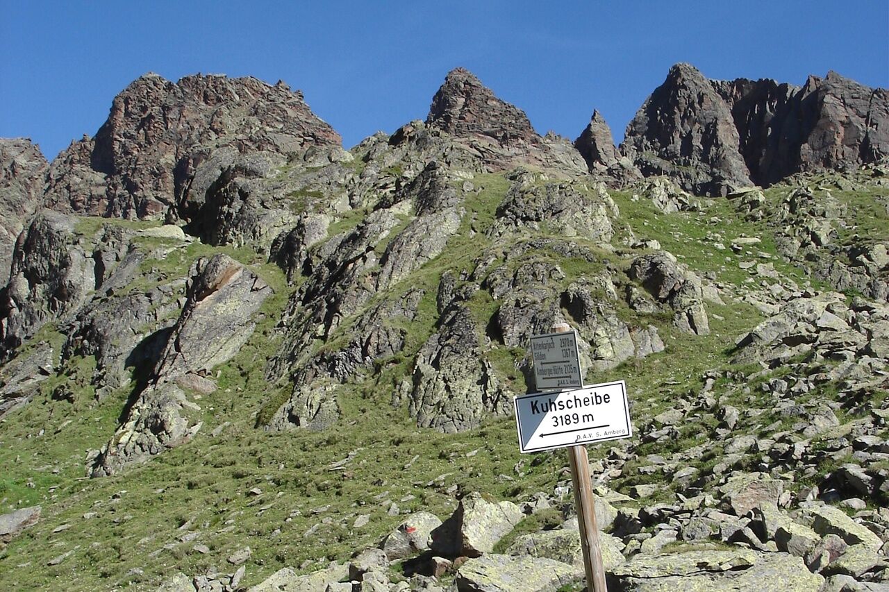
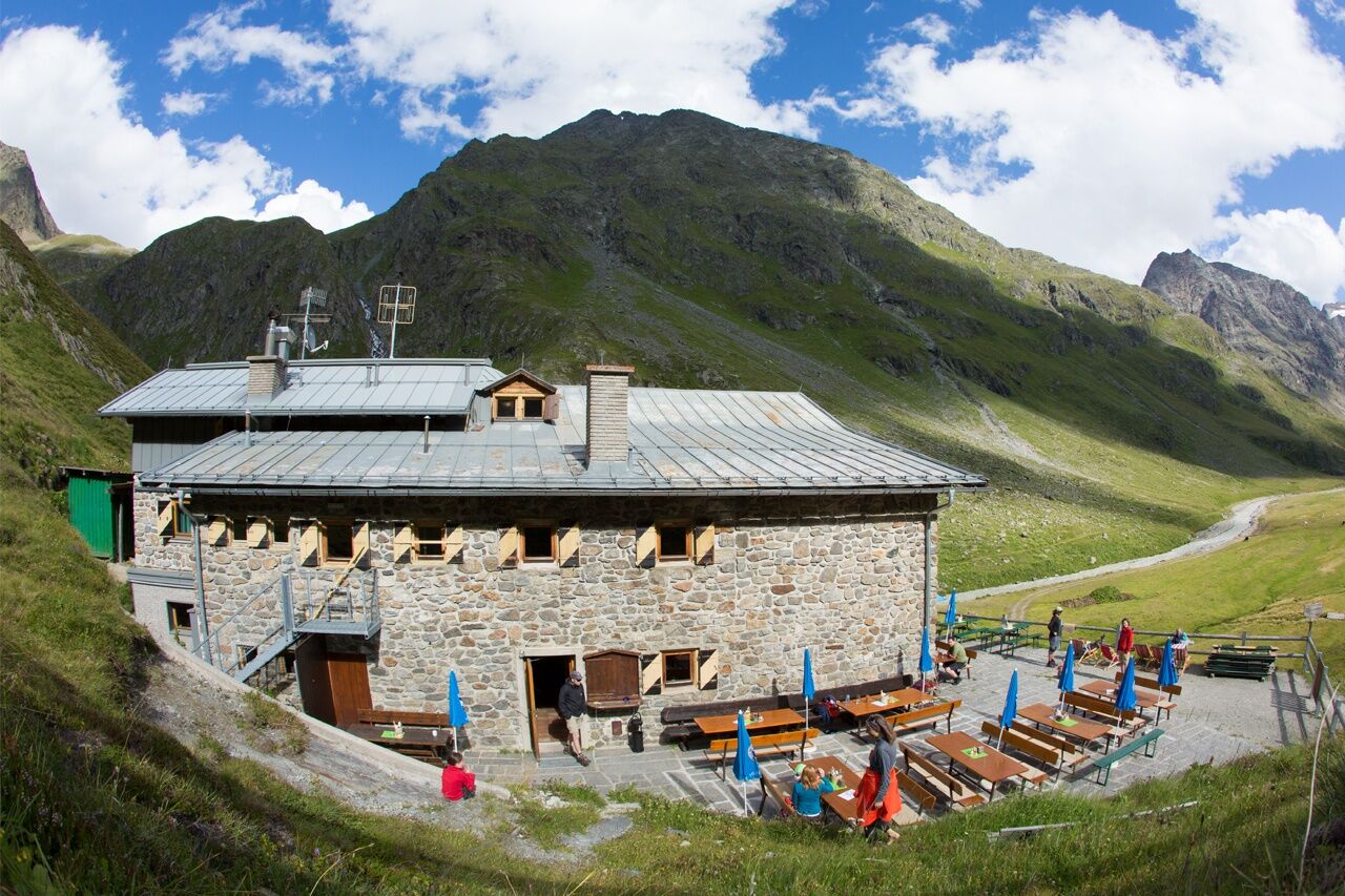

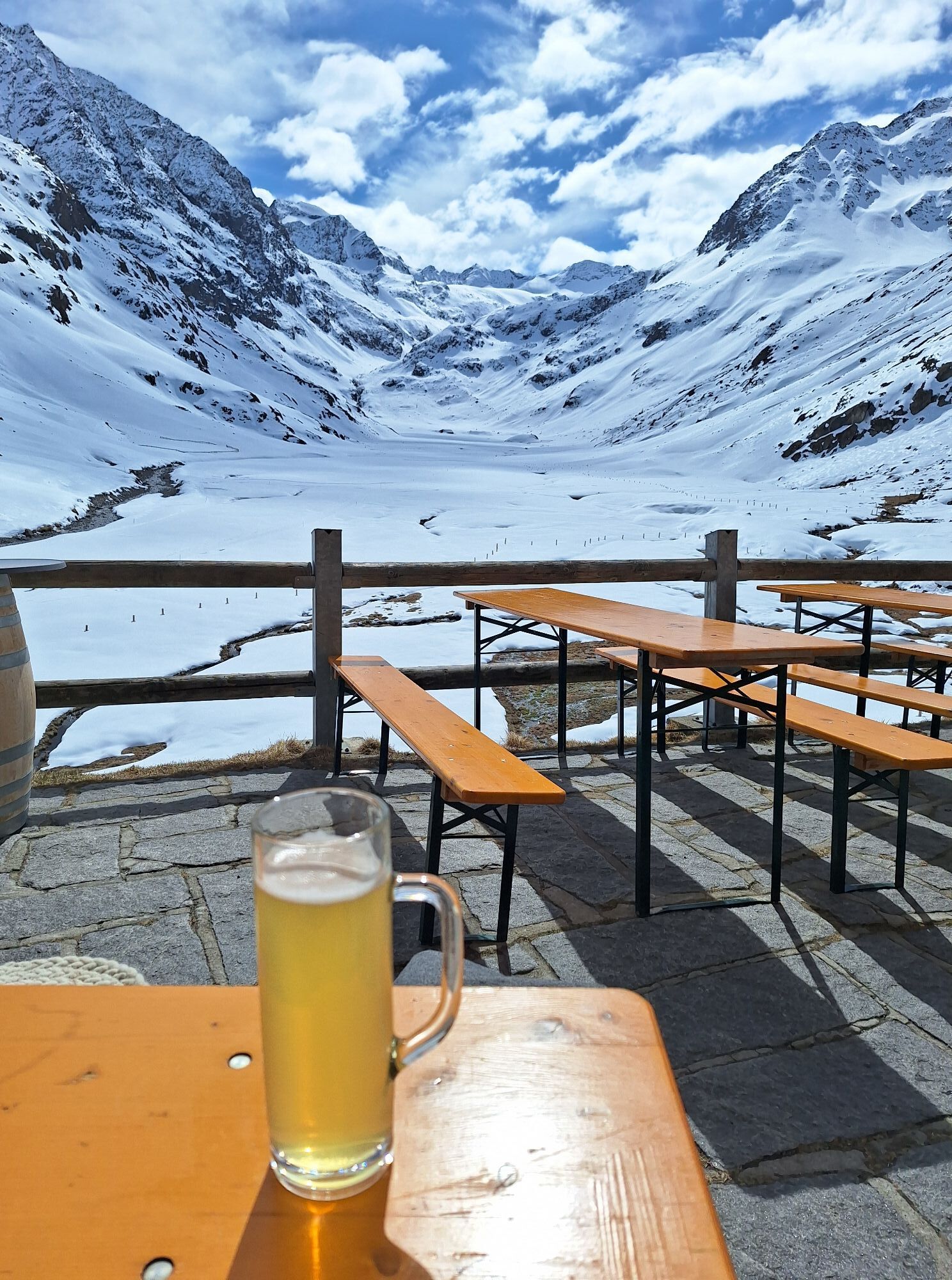
From the hut, it first goes a stretch through the lovely Hintere Sulztal. Then follows the ascent on a stony path through a very barren scree landscape to the Atterkarjöchl. The views back to the Stubai Alps and the bizarre landscape are impressive. Below the Atterkarjöchl, a glacier must still be circumvented by climbing over huge boulders, lastly on steel pins along a cliff wall above the ice surface.
Once at the top, the great view of the Ötztal and the Ötztal Alps makes up for it. Now it goes downhill, initially on a very demanding and exposed path, later over moorland and on steep paths down into the Ötztal. In Sölden, civilization is back with all the amenities such as cafés and shopping opportunities.
Da
Appropriate equipment such as breathable and weather-appropriate outdoor clothing,
ankle-high hiking boots, wind, rain, and sun protection, a hat, possibly gloves, is required for all
hikes and routes. Carrying a first aid kit, a mobile phone, and possibly
a hiking map, as well as sufficient provisions for hikes without places to stop for food, is necessary.
Suitable for climbers free from fear of heights, sure-footed, and with alpine experience;
Very good physical condition, alpine experience, and mountaineering equipment (see under Equipment), sometimes
alpine safety gear, good weather conditions recommended
Please check the current weather report at: https://www.oetztal.com/de/sommer.html
The car journey into the ÖTZTAL
Travel by car takes visitors via the Inn Valley to the entrance of the valley and then along the Ötztal. In addition to the toll motorway, country roads can also be used. With the route planner, your trip can be determined quickly and conveniently. To the route planner: https://www.google.at/maps
Public transport
Travel comfortably and safely by train. The final stop or exit point is the ÖTZTAL station. Afterwards, you can travel conveniently and quickly with public bus services or the
local taxi companies through the entire valley to your desired destination. The current bus timetable is available at: http://fahrplan.vvt.at
The following parking options are available in Gries:
Gries at the end of the village – paid parking
More info about hiking in the Ötztal: https://www.oetztal.com/wandern
Spletne kamere s turneje
-
Seekogel
-
Gaislachkogel
-
Sölden - Hochsölden
-
Sölden - Grünwald Resort
-
Skilift Gries im Ötztal
-
Amberger Hütte
-
Sölden - Grünwald Resort
-
Giggijoch
-
Giggijoch
-
Bockkogel
-
Wannenkogel
-
Sulzkogel
-
Sölden - Gaislachkogelbahn Mittelstation
-
Sölden - Schwarzkogl Talstation
-
Hochstubaihütte
-
Hochstubaihütte
-
Sölden Ort
-
The Peak Sölden**** Chalets und Appartements
Pridobite vpogled
Vedno v živo na mestu z več kot 9.500 spletnimi kamerami. bergfex Kot uporabnik Pro si lahko zdaj ogledate ustrezne spletne kamere za številne izlete v aplikaciji izleti iz. Tako si lahko neposredno ogledate trenutne razmere.
Priljubljeni izleti v okolici
-
4.7
Winnebachsee Hut – Längenfeld/Gries
srednjaPohodništvo 4.74 km -
4.7
Winter circular route Brandalm/Burgstein - Längenfeld 204
srednjaZimsko pohodništvo 5.44 km -
4.8
Wilde Wasser Weg - Fortgeschritten
srednjaPohodništvo 12.0 km -
5.0
Dresdner hütte - sulzenauerhütte
srednjaPohodništvo 12.1 km -
4.5
Rundwanderung Hängebrück3
svetlobaPohodništvo 6.32 km -
4.3
Amberger Hut - Längenfeld/Gries
srednjaPohodništvo 5.60 km -
4.3
Hohe Geige über Gawinden und den Westgrat
težkoPohodništvo 14.3 km -
3.4
Tiefenbachglacier - Mountaineering Village Vent
srednjaPohodništvo 10.8 km -
4.2
Umhausen - Stuibenfall - Umhausen
srednjaPohodništvo 7.94 km -
5.0
Hoher Seeblaskogel 3235m - Längenfeld/Gries
težkoPohodništvo 8.38 km

Pohodništvo in sledenje


Ne zamudite ponudb in navdiha za naslednje počitnice
Vaš e-poštni naslov je bil dodan na poštni seznam.





