







Kaiserkrone - around the Wilder Kaiser in 5 days
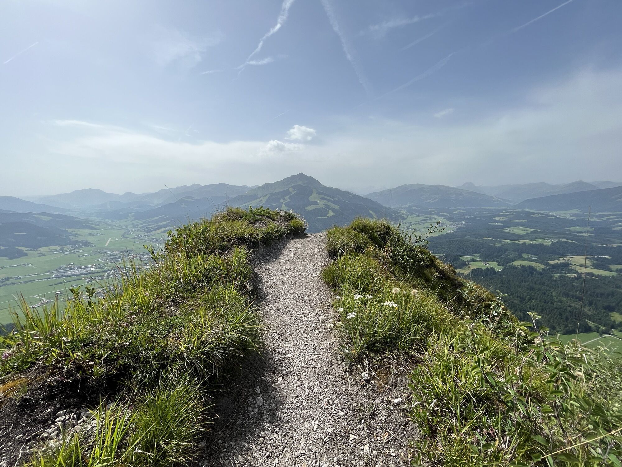
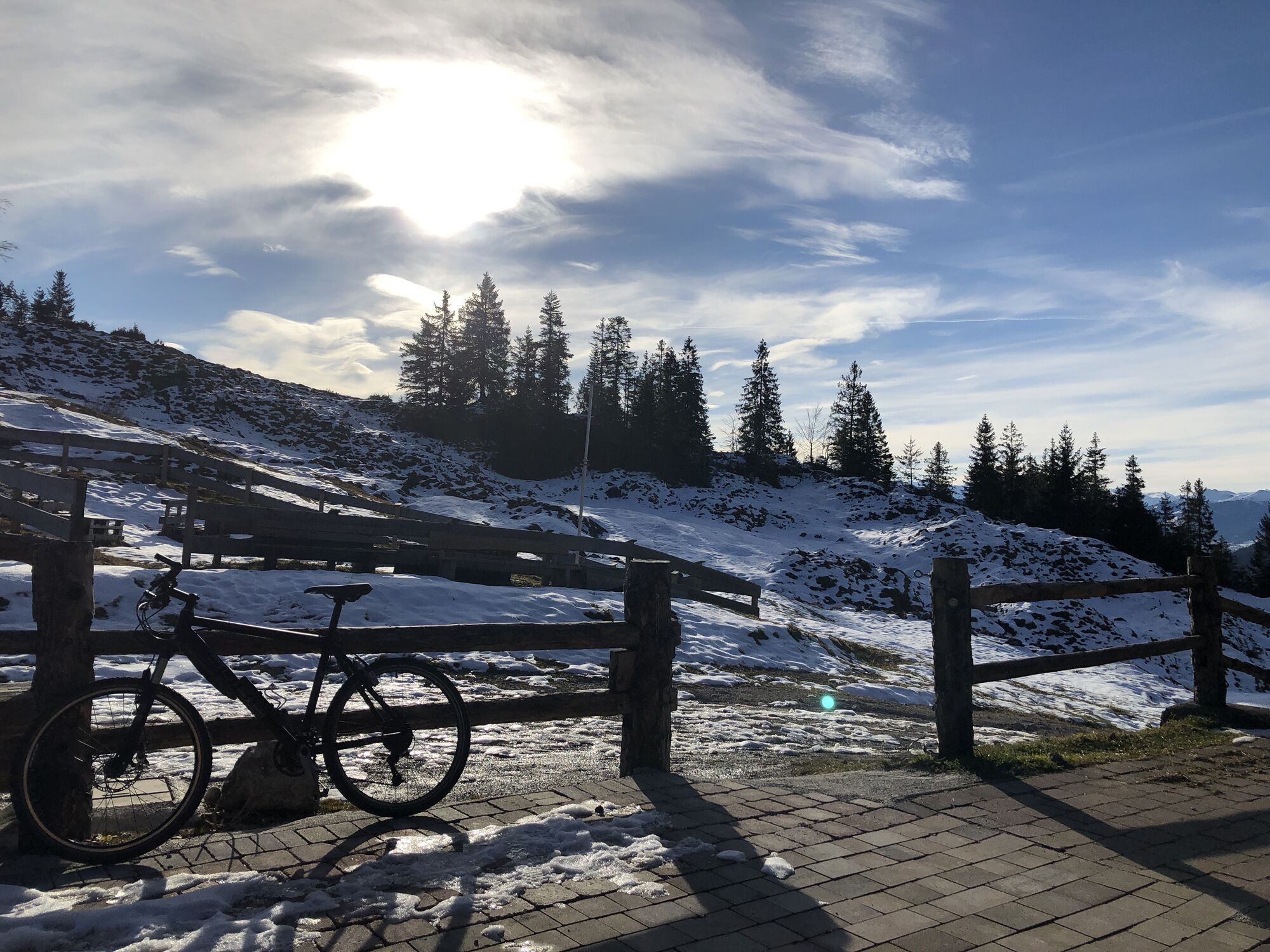
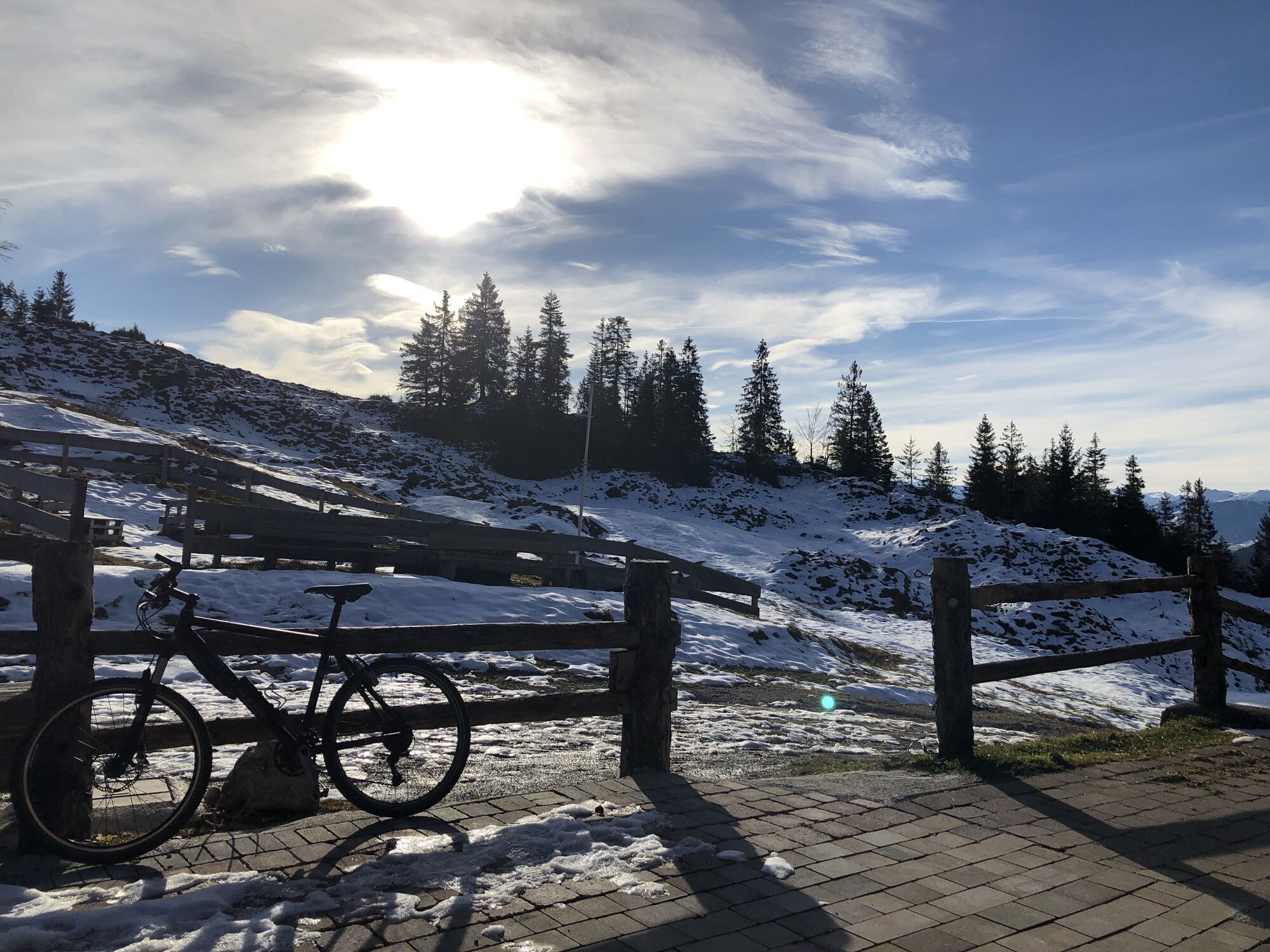
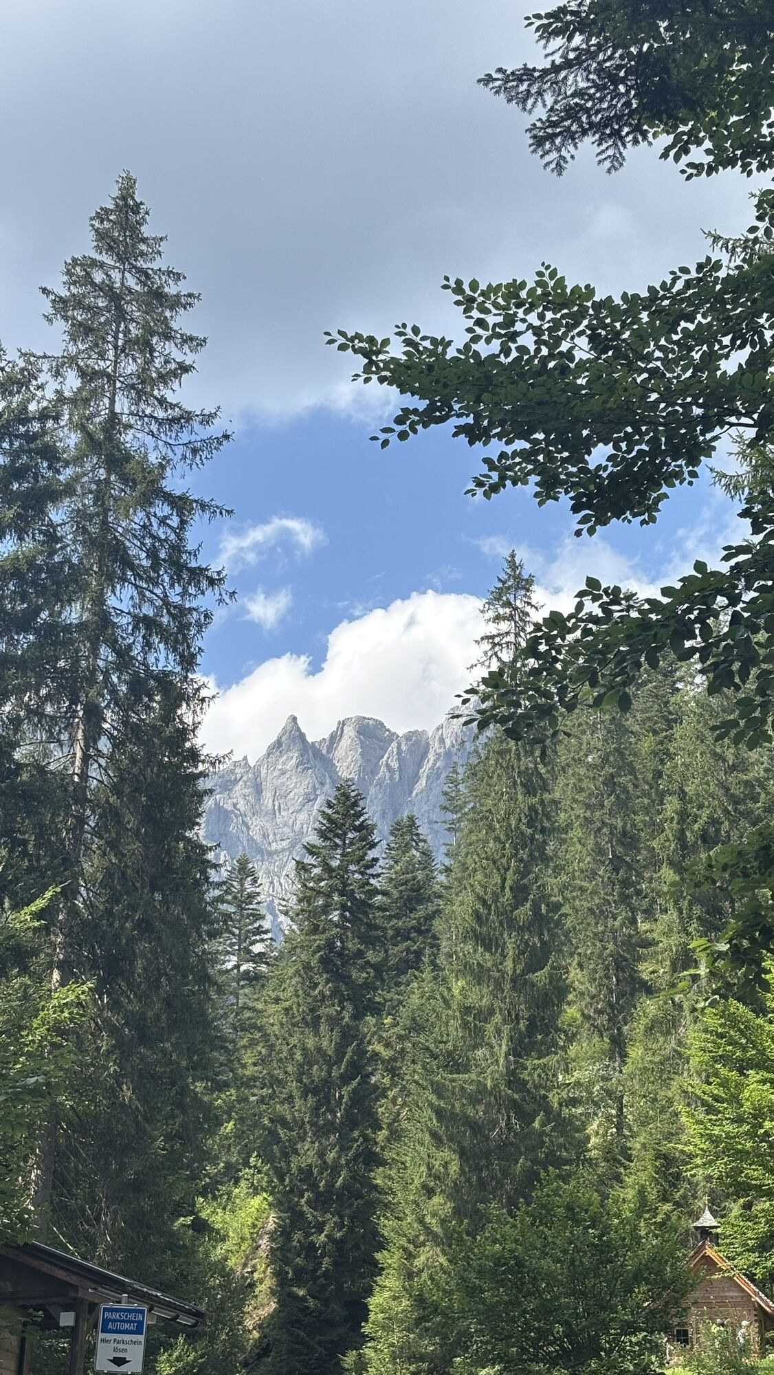
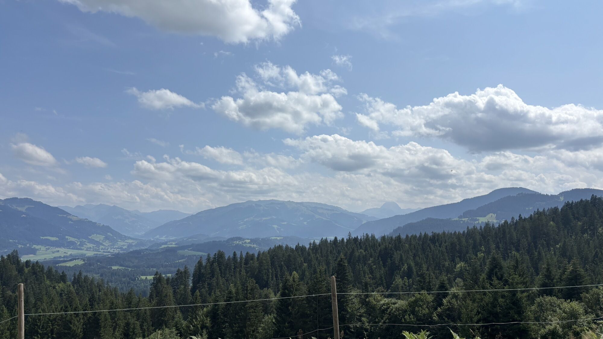
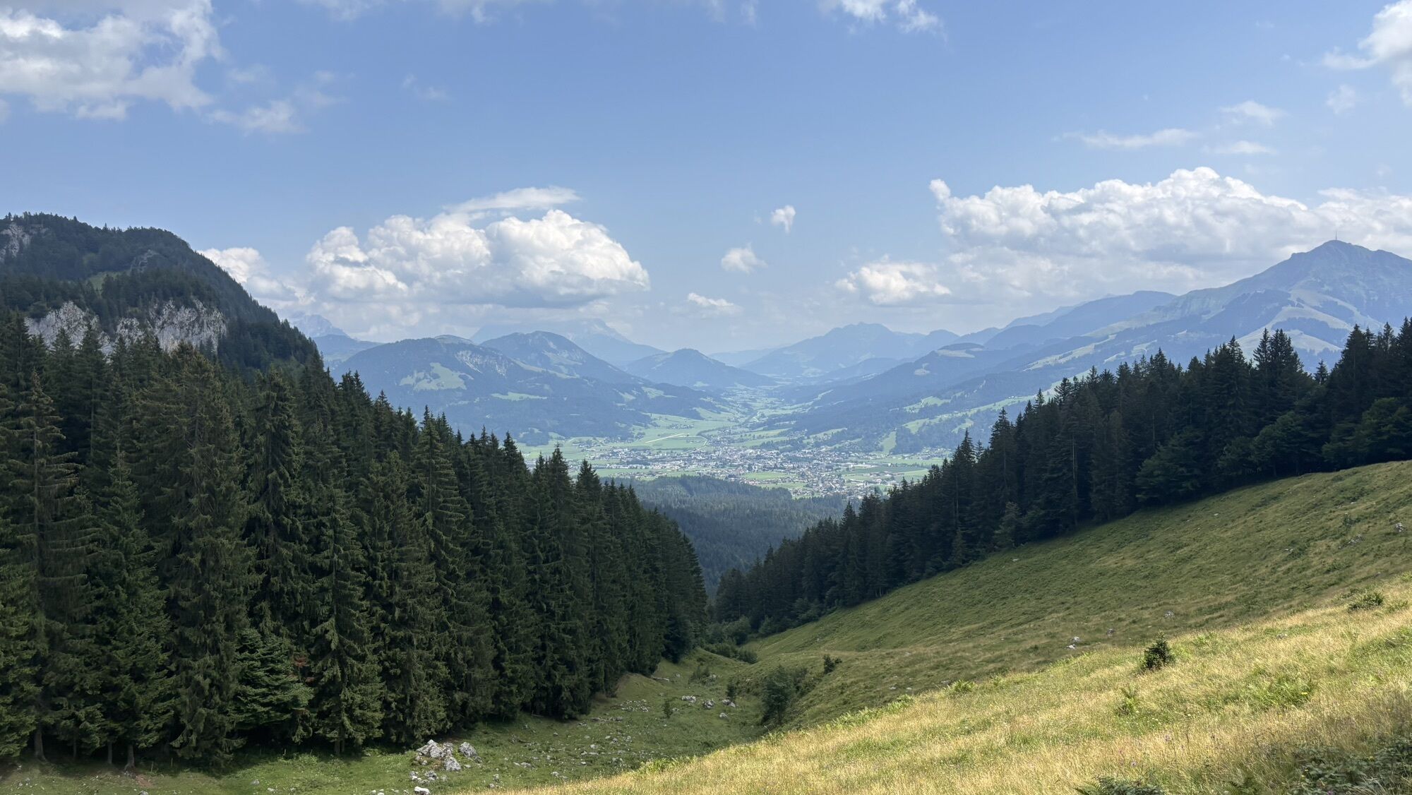
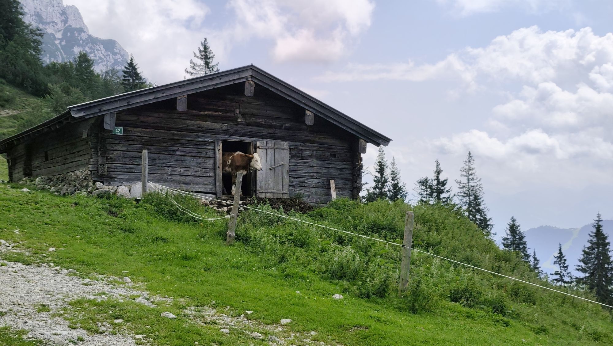
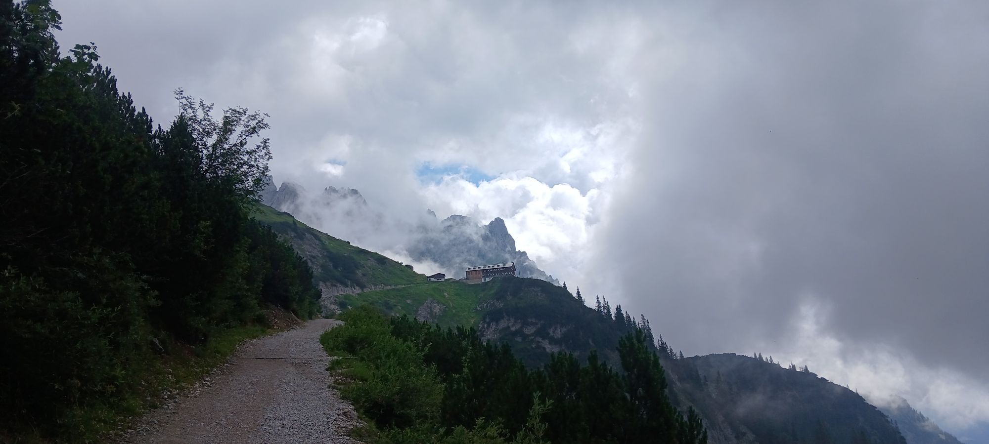
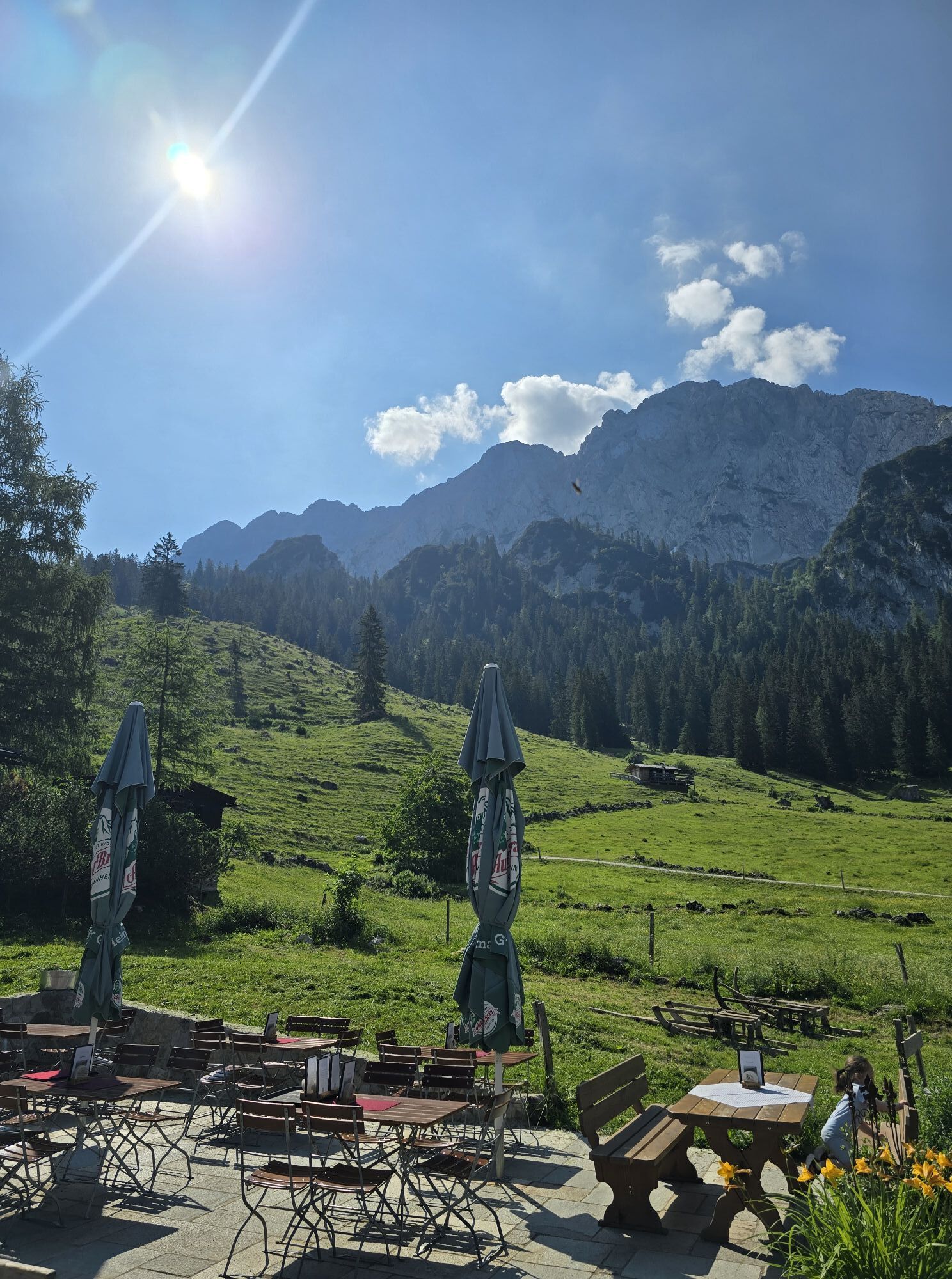
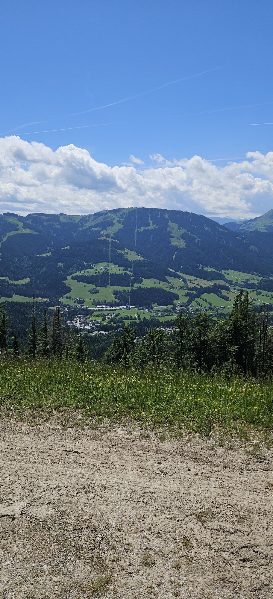
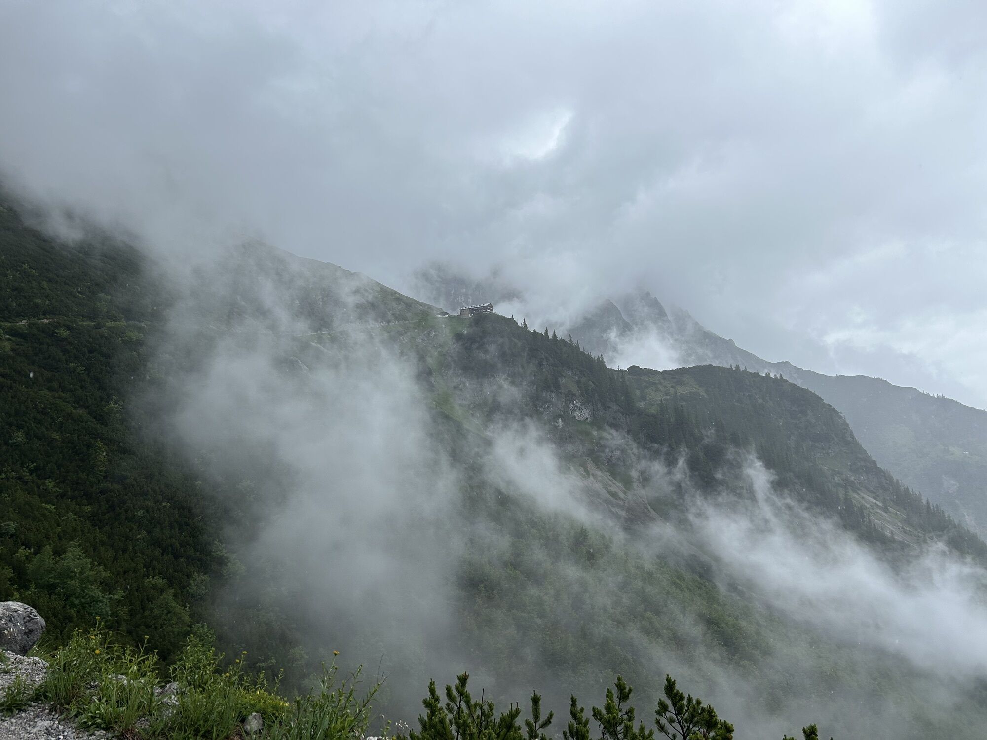
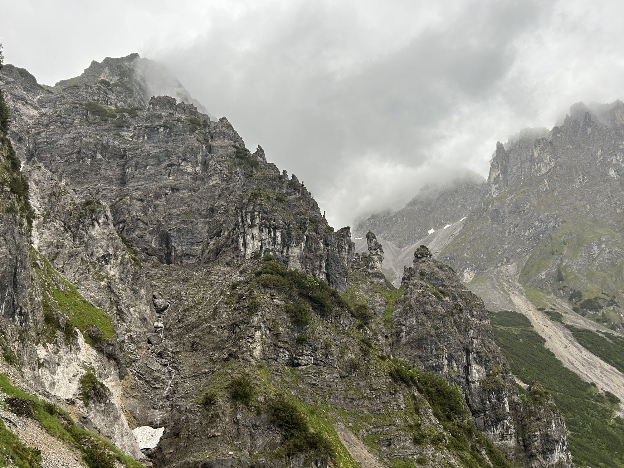
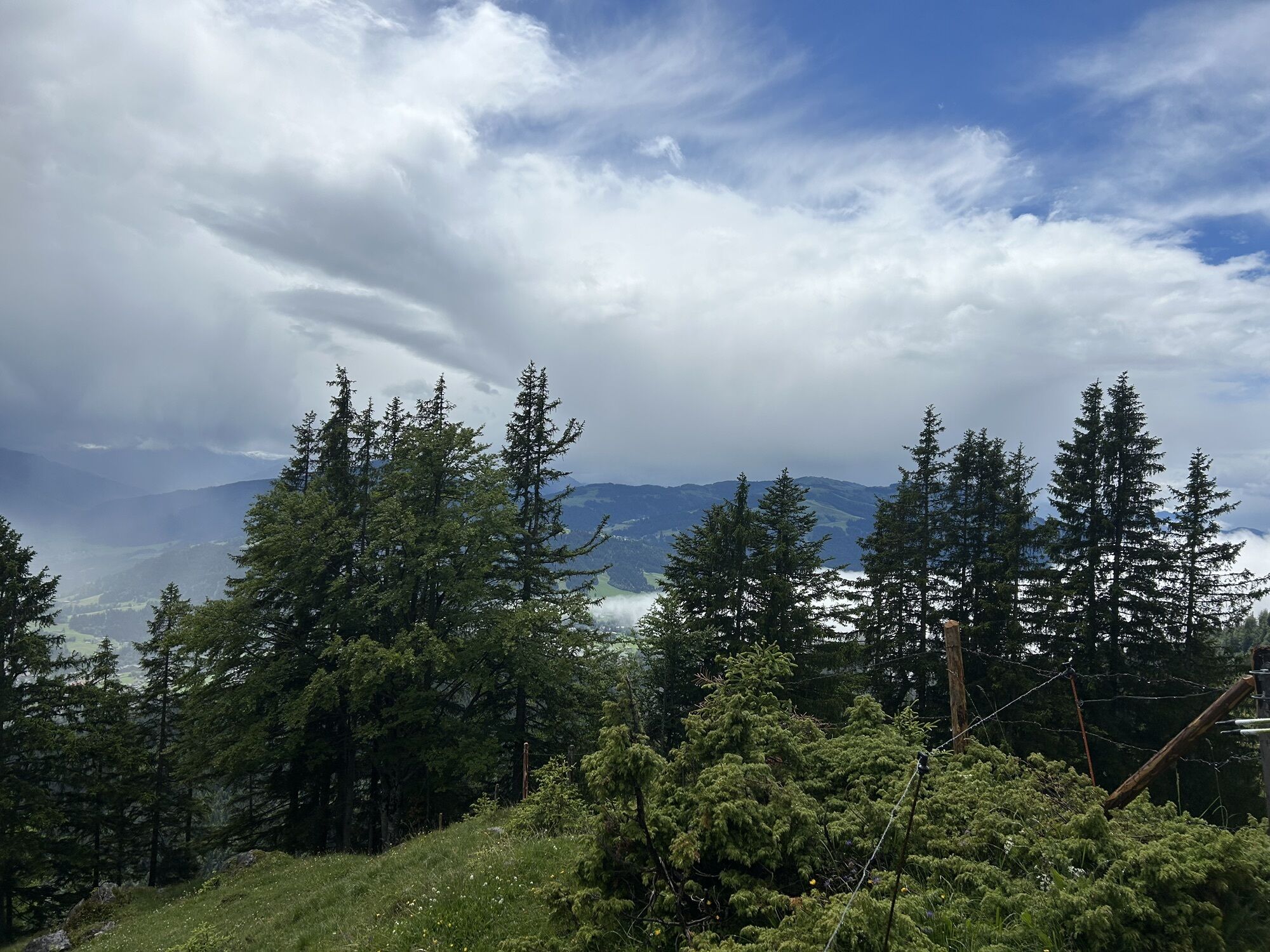
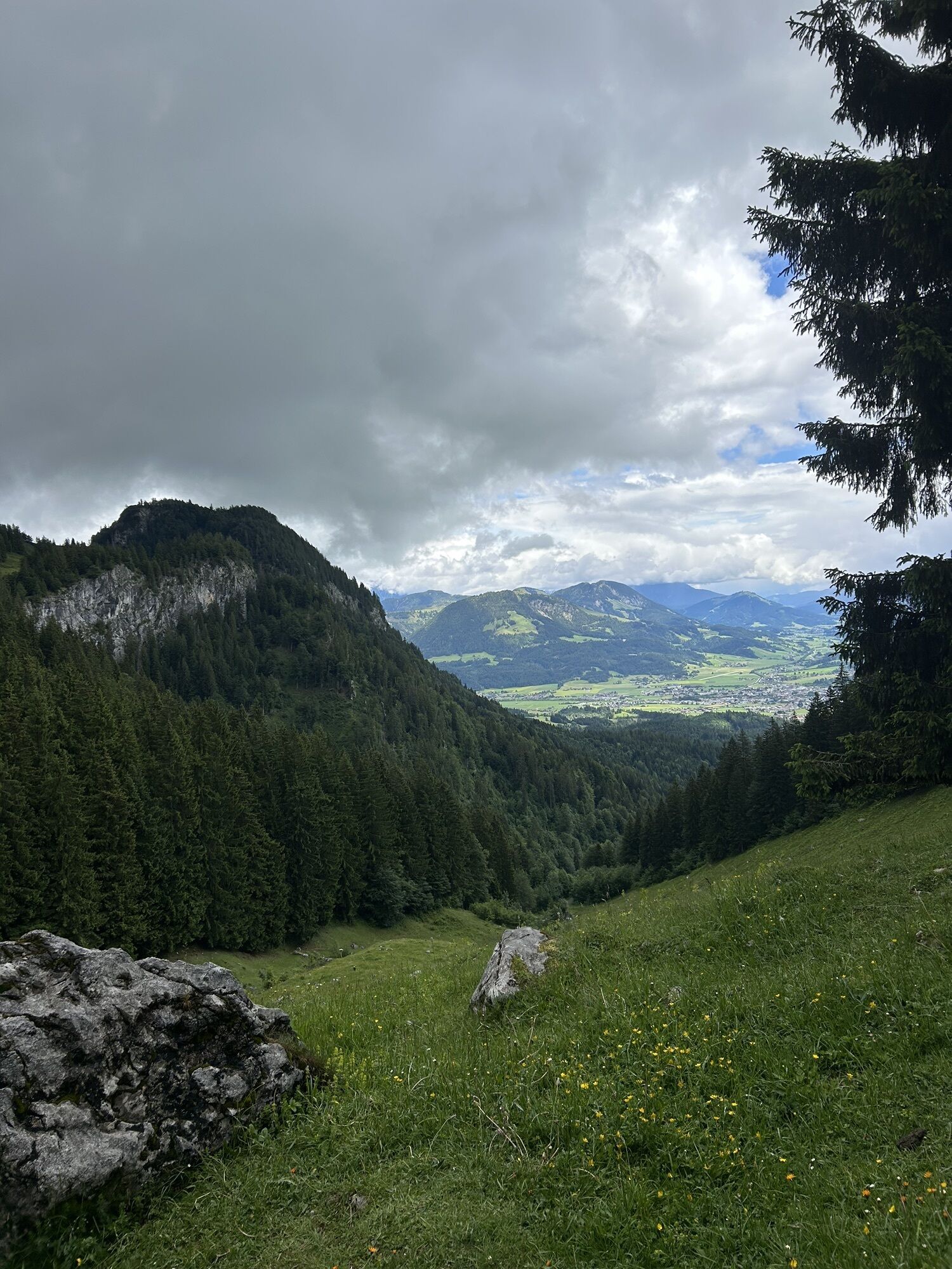
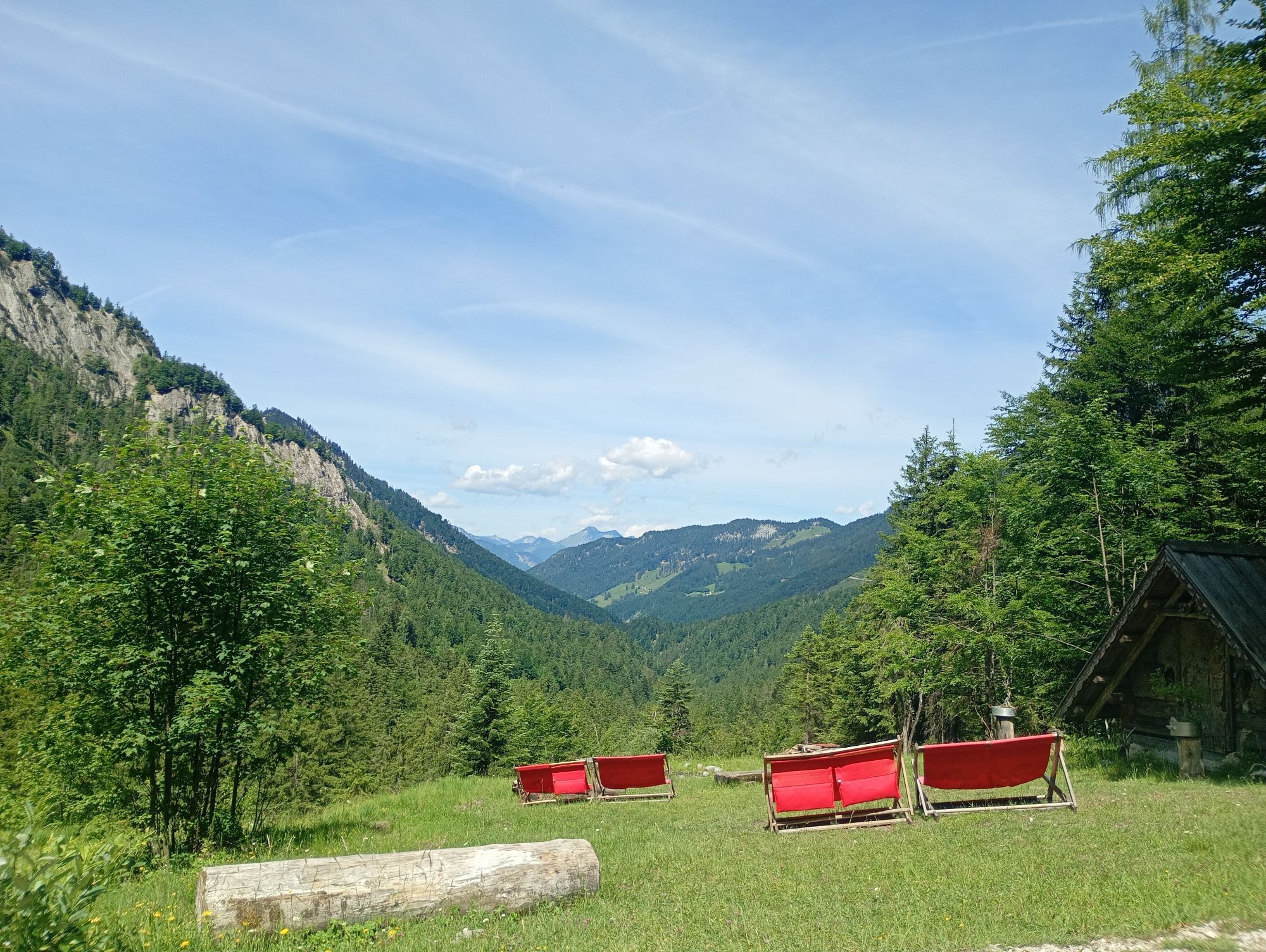
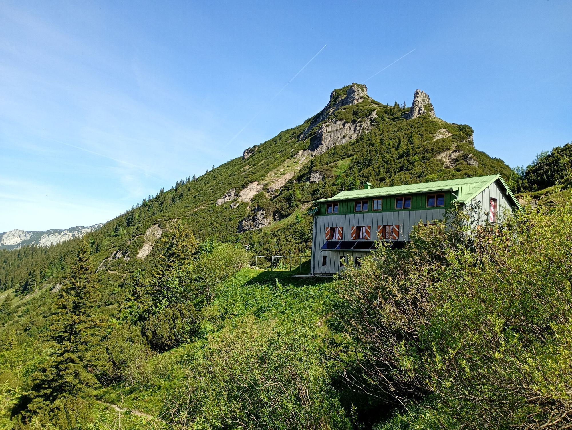
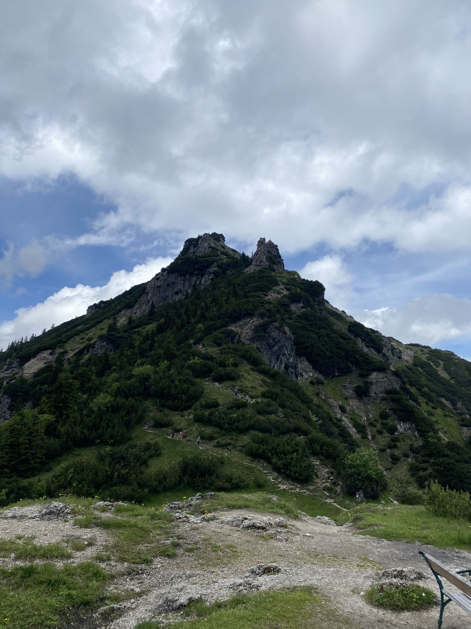
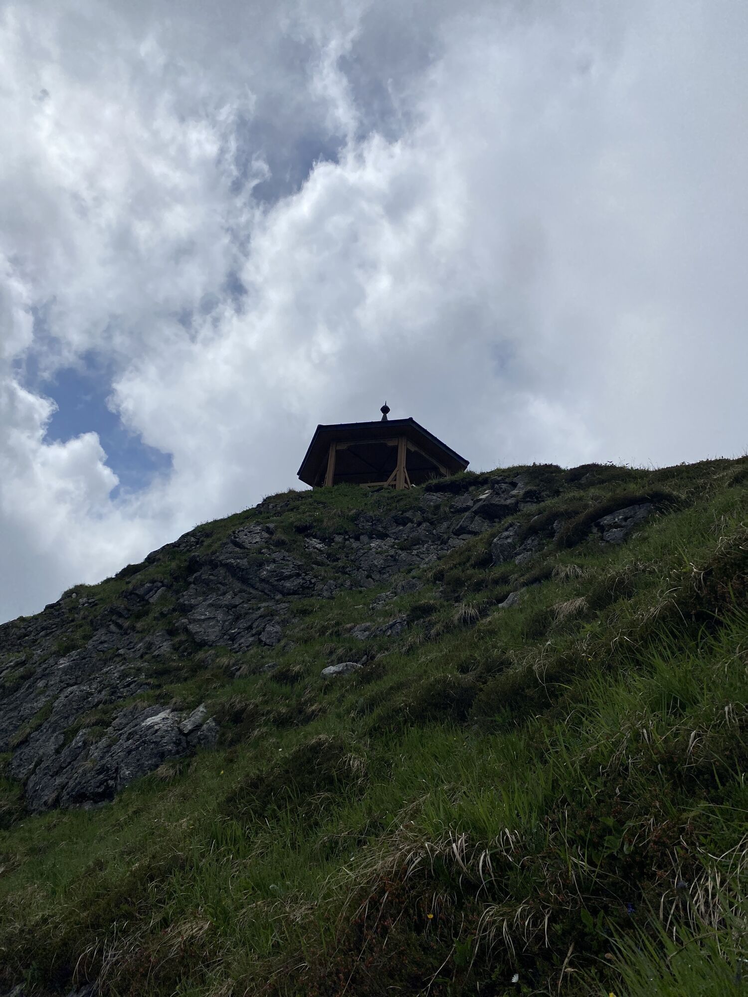
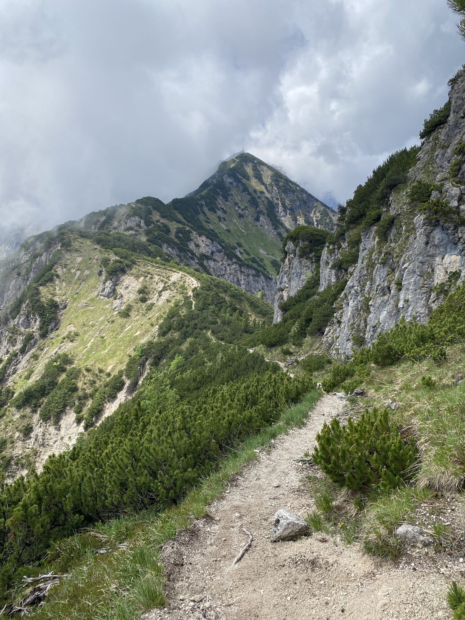
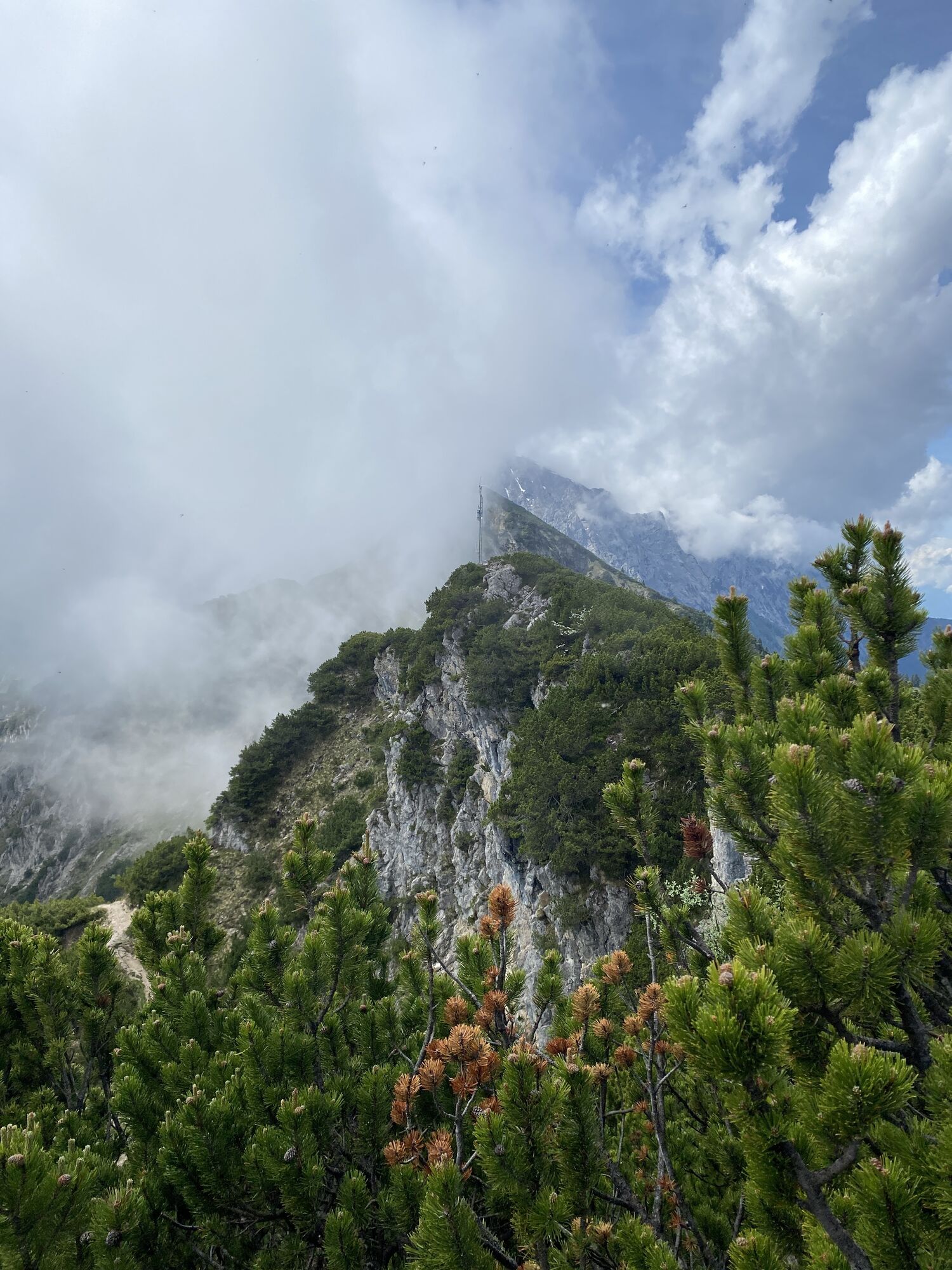
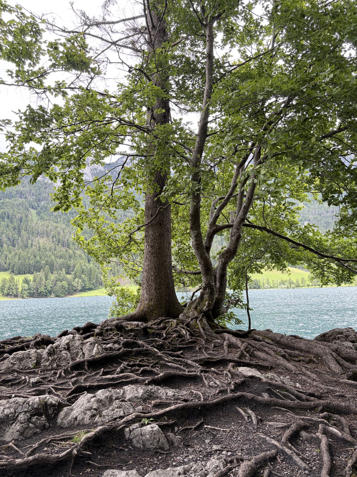
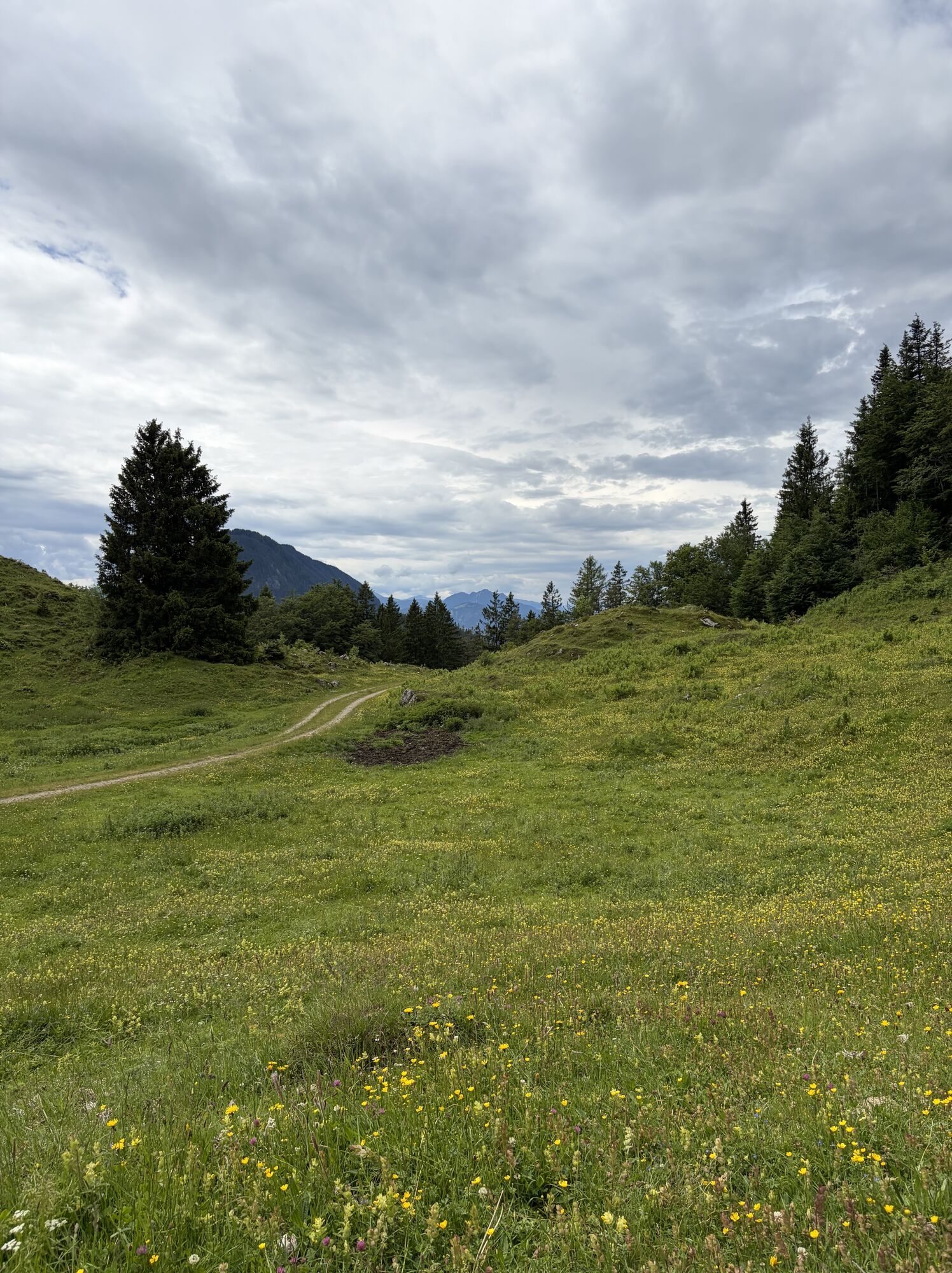
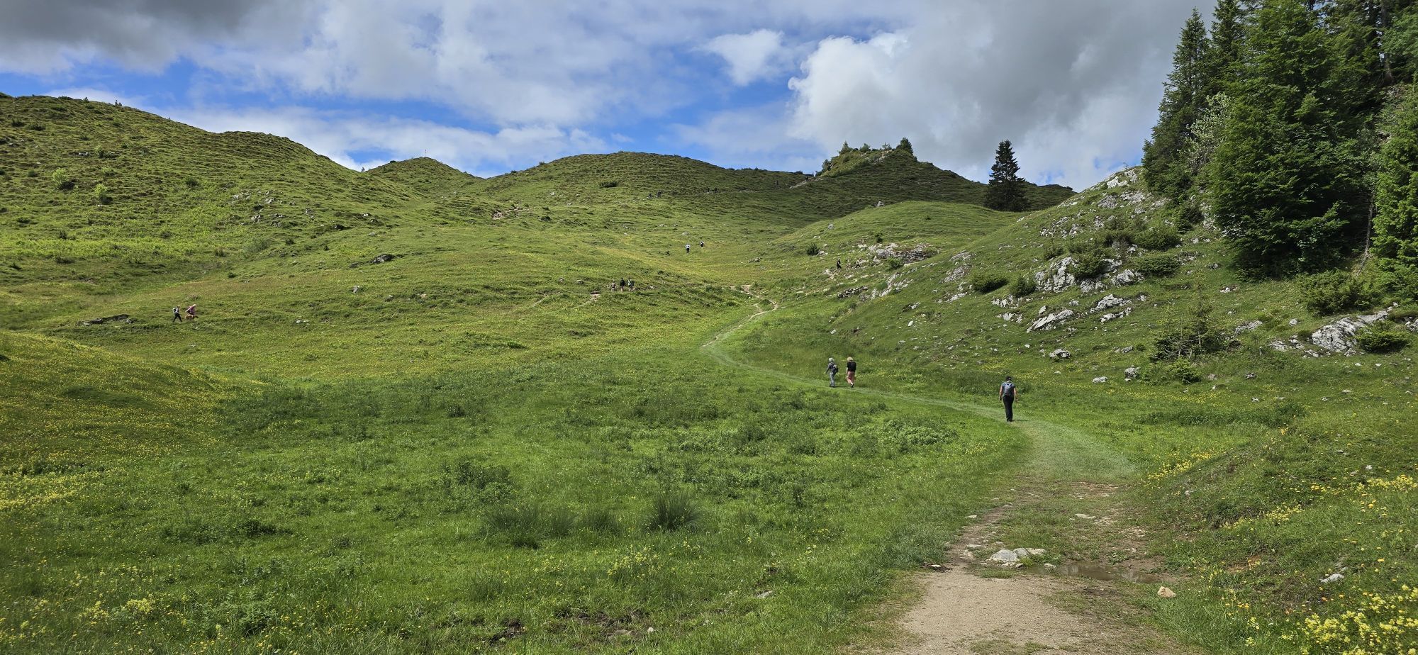
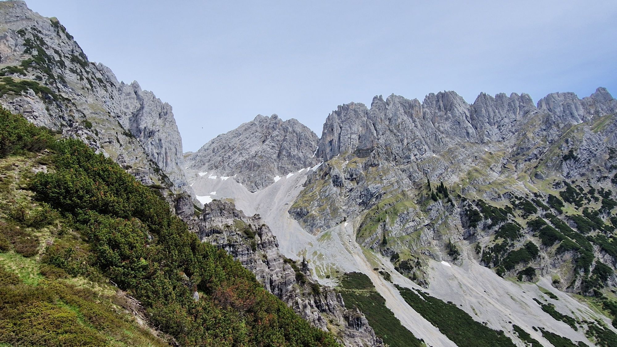
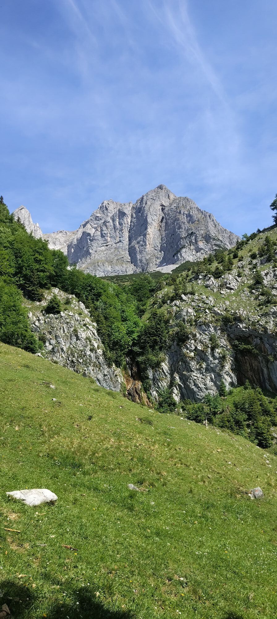
The five stages of the Kaiserkrone can be customised and also feature a range of options for overnight stays in some cases. The various entrances and exits, the many huts and the shorter Alpine routes...
The five stages of the Kaiserkrone can be customised and also feature a range of options for overnight stays in some cases. The various entrances and exits, the many huts and the shorter Alpine routes and summit ascents make it possible to tackle the Kaiserkrone in a variety of ways.
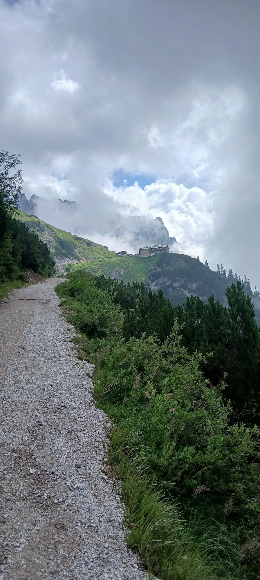
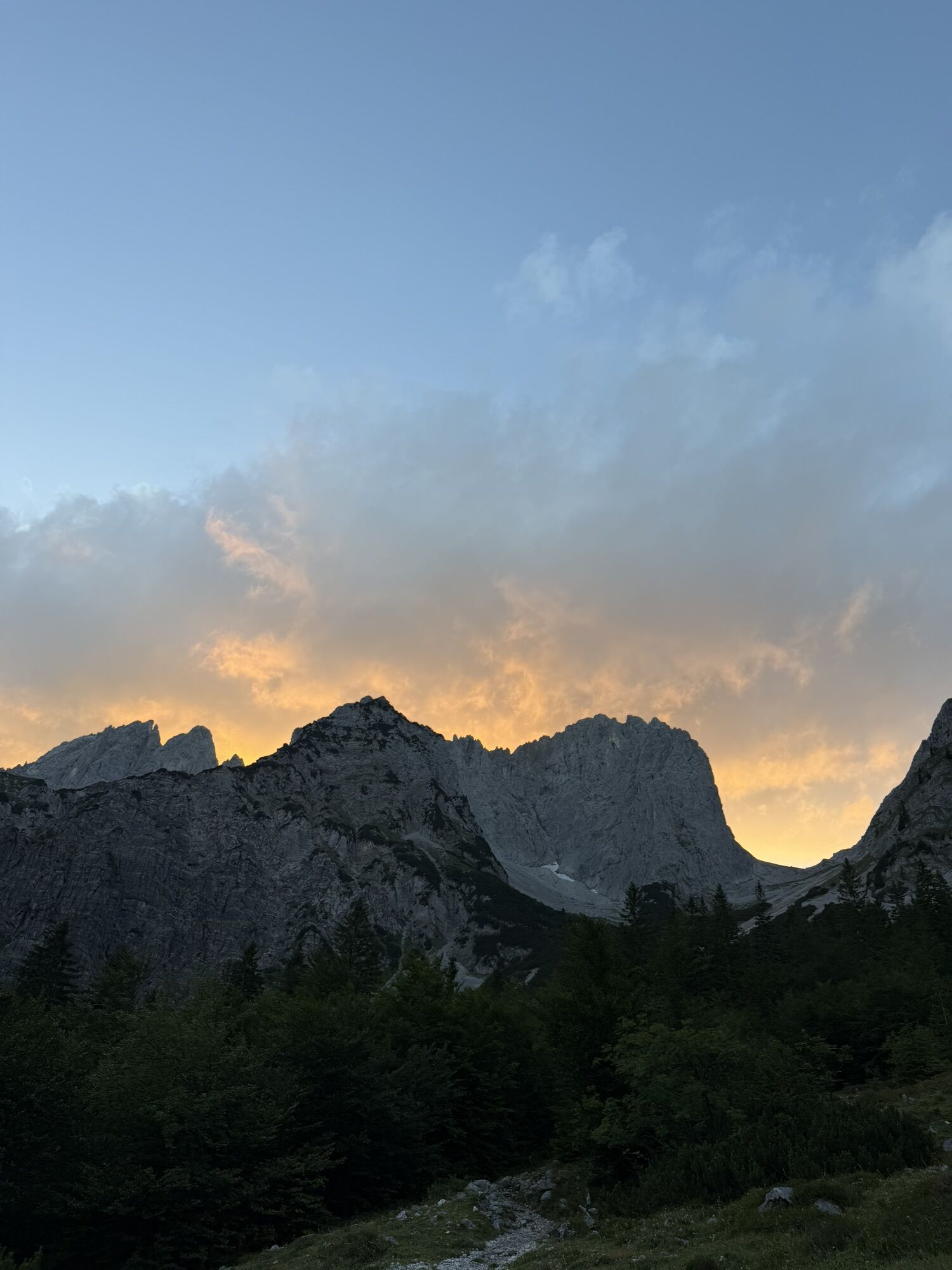
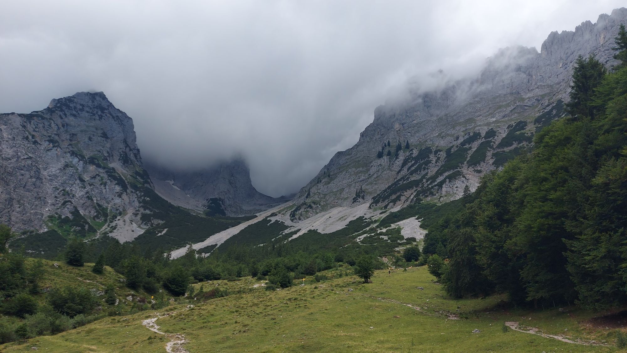
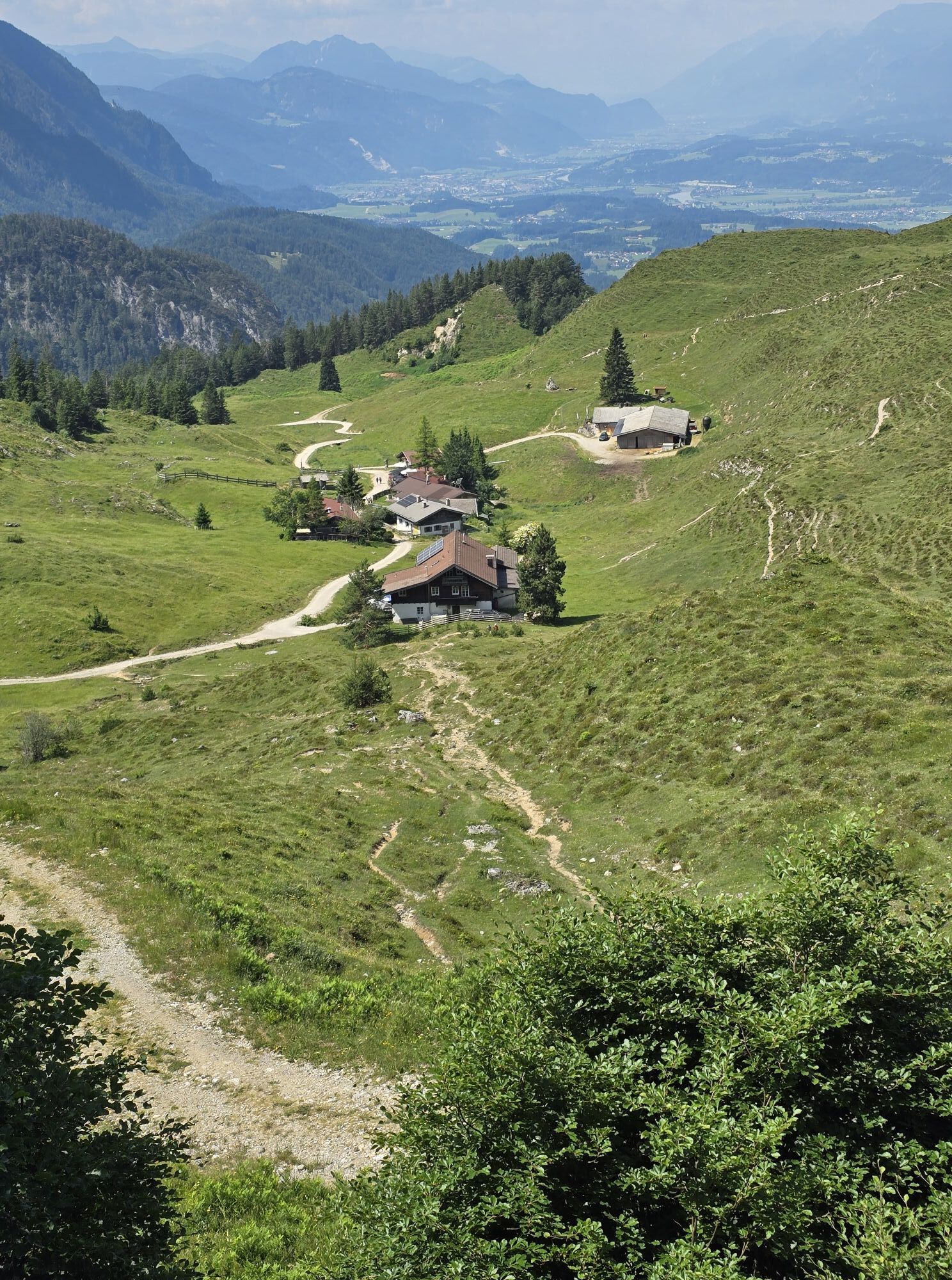
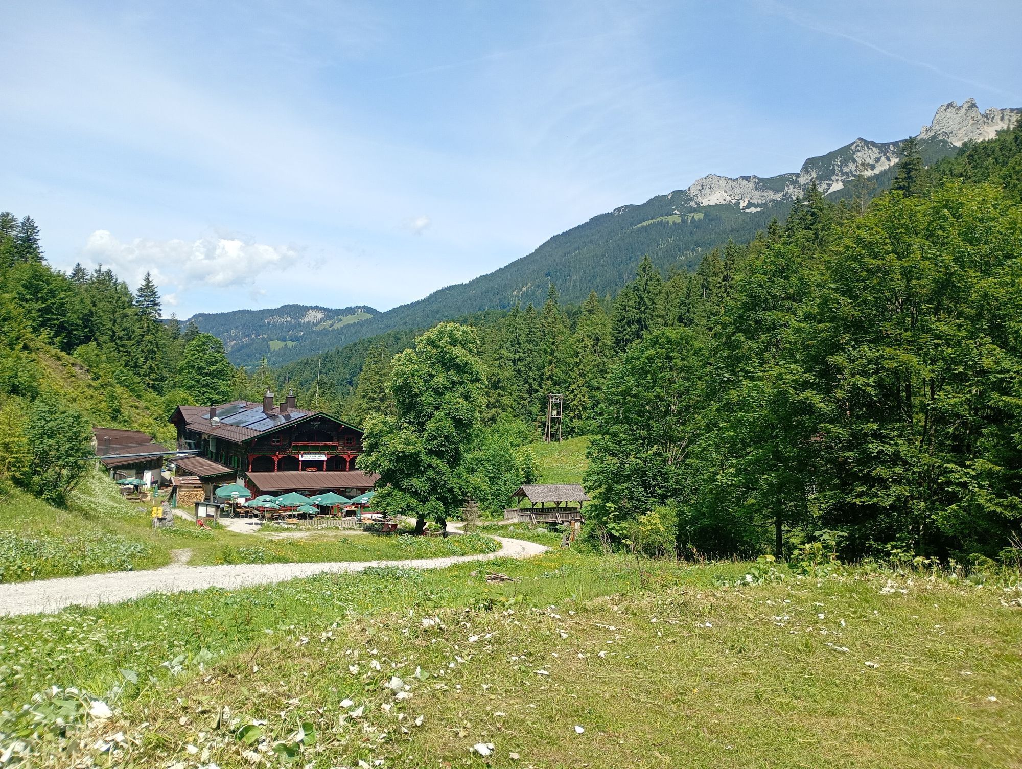
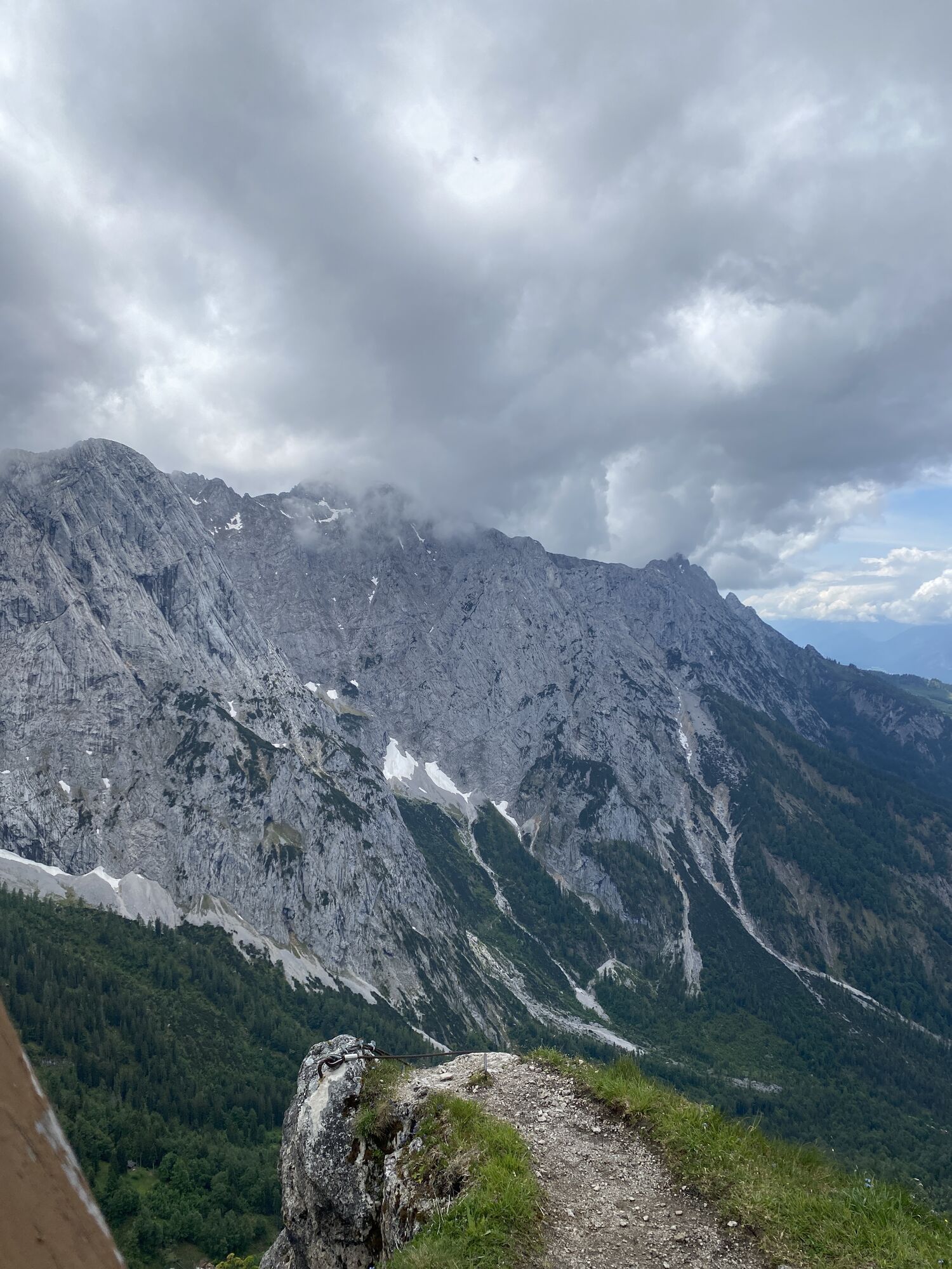
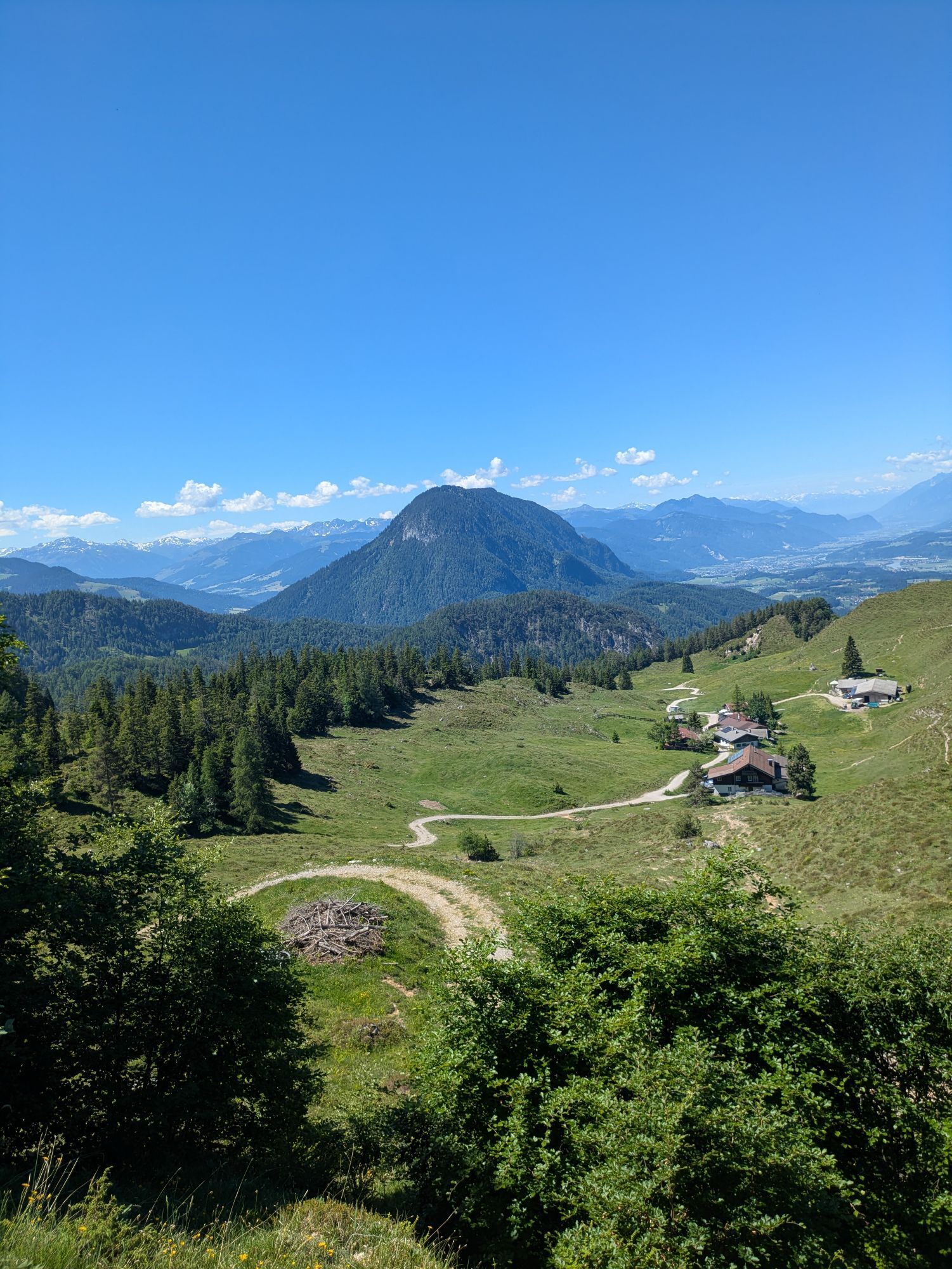
The starting point is in Going, Hüttling (820 m). A forest road takes you past the Graspoint-Niederalm mountain hut and up to the Obere Regalm. From here, walk past the Baumgartenköpfl mountain featuring the Bergsteigergrab, the last rest stop on the “Koasamuch”, and head towards the Gaudeamushütte mountain hut, where the fantastic view into the Ellmauer Tor inspires you (overnight stays also available). The path leads through the imposing Klamml and up to the Gruttenhütte, the highest hut in the Wilder Kaiser region and a starting point for a great many climbers and mountain walkers.
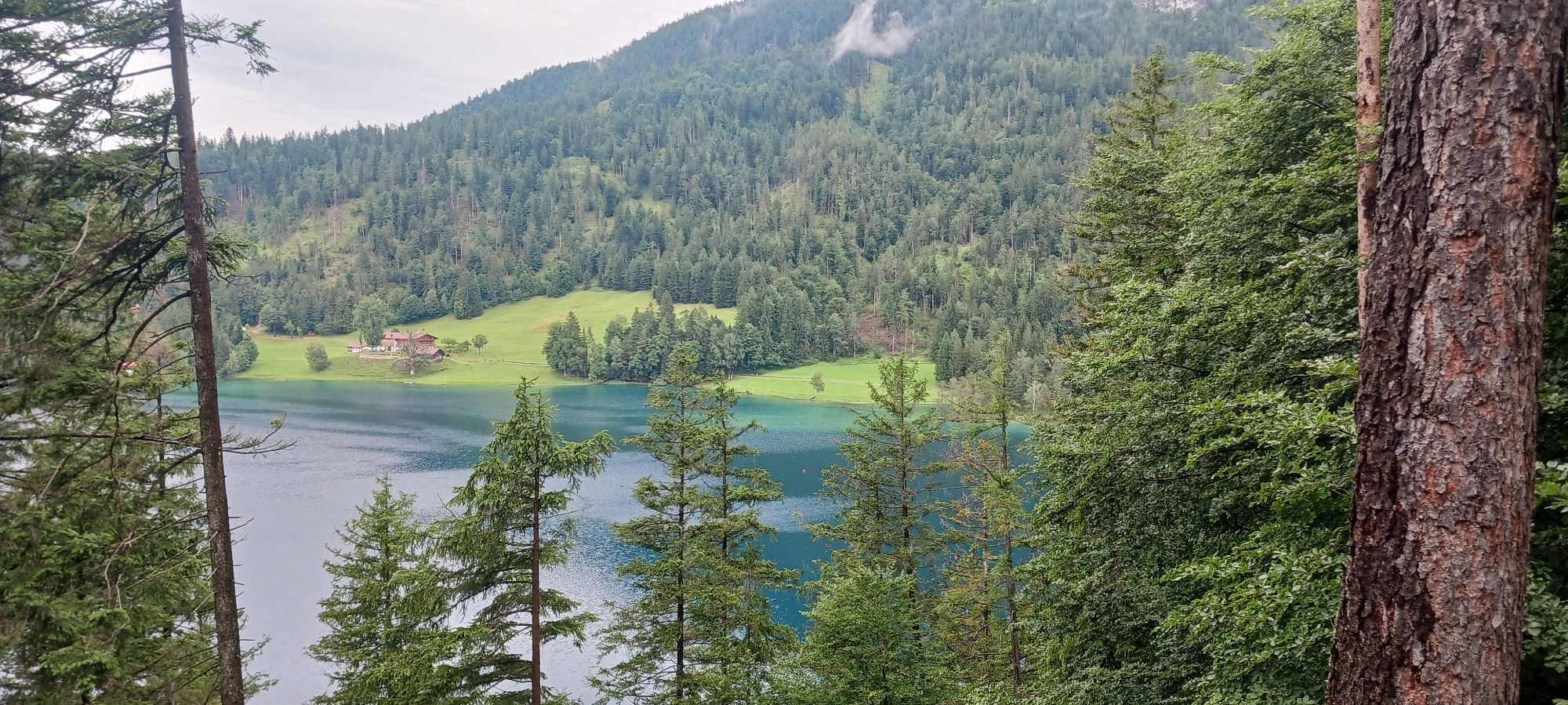
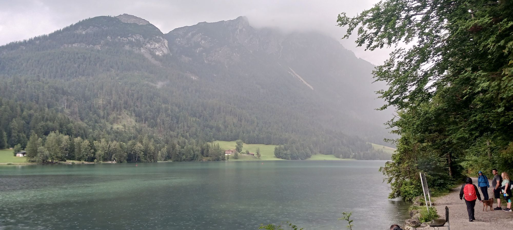
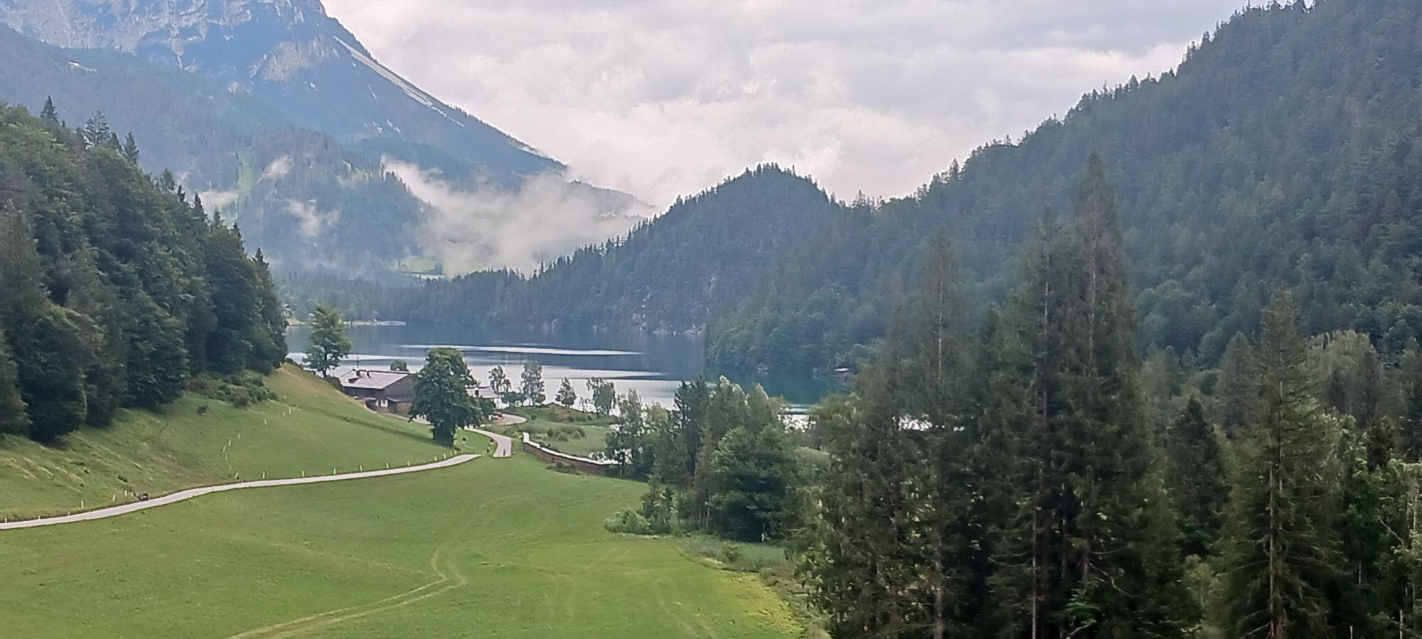
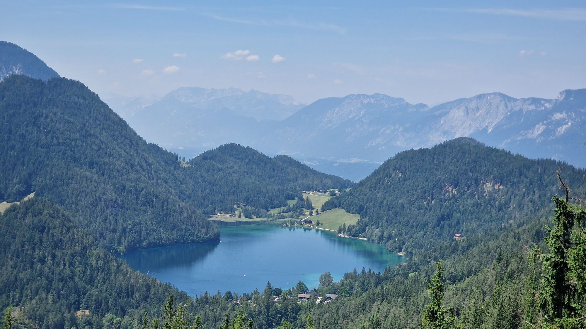
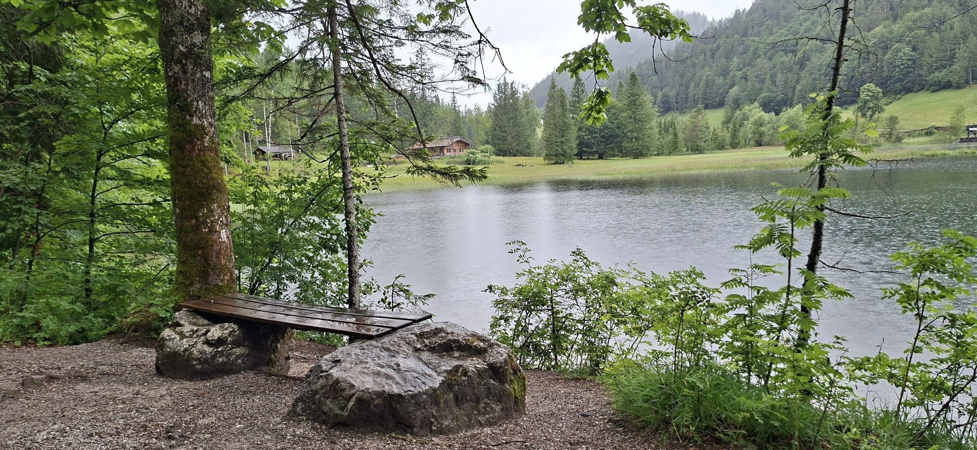
The next stage leads around the Treffauer mountain, heading through mountain pines and forested sections until you come to the idyllic Alpine pasture landscape of the Kaiser-Hochalm. Continue on to the Steiner-Hochalm mountain hut. After pausing for a drink while enjoying the sound of the harp, follow the route downhill towards Hintersteiner See. The crystal clear mountain lake offers welcome refreshment for tired feet.
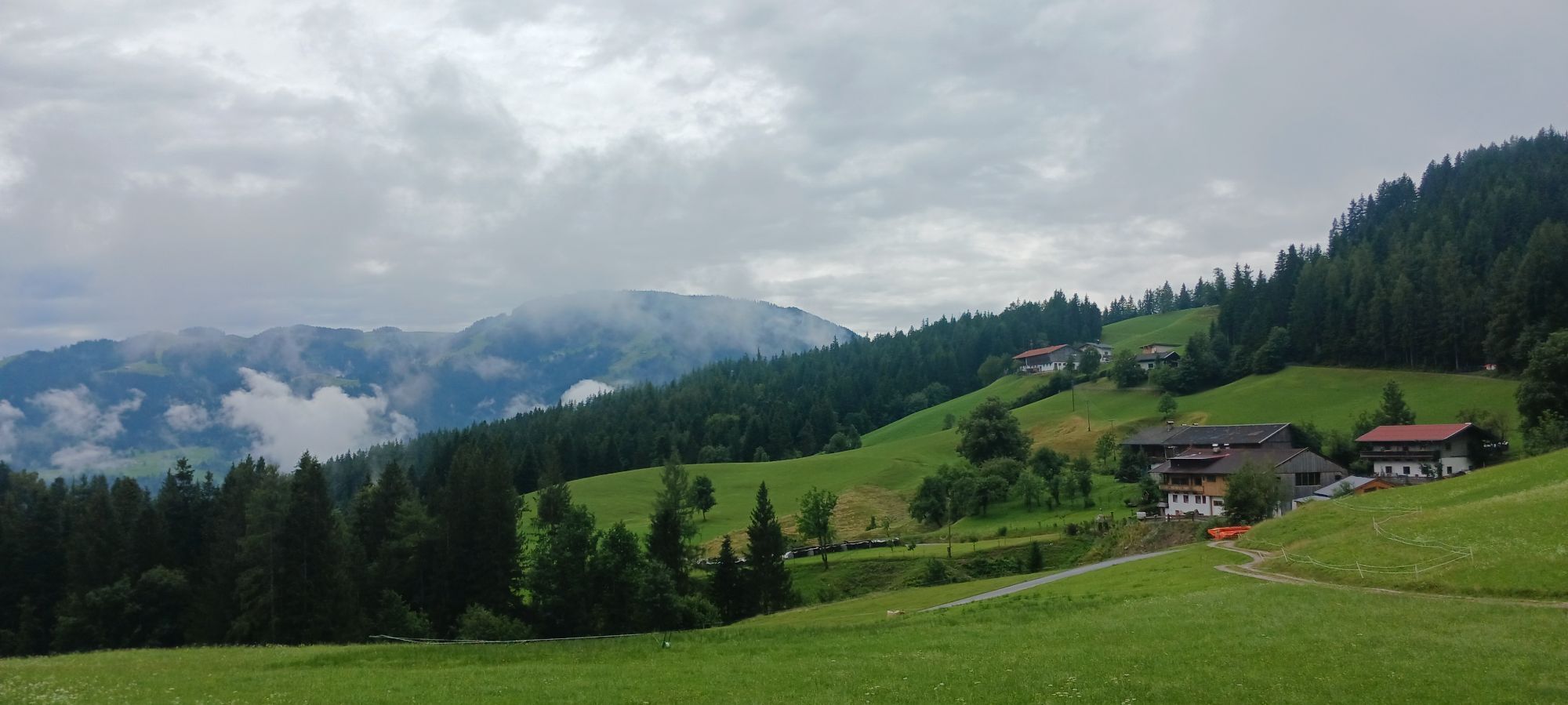
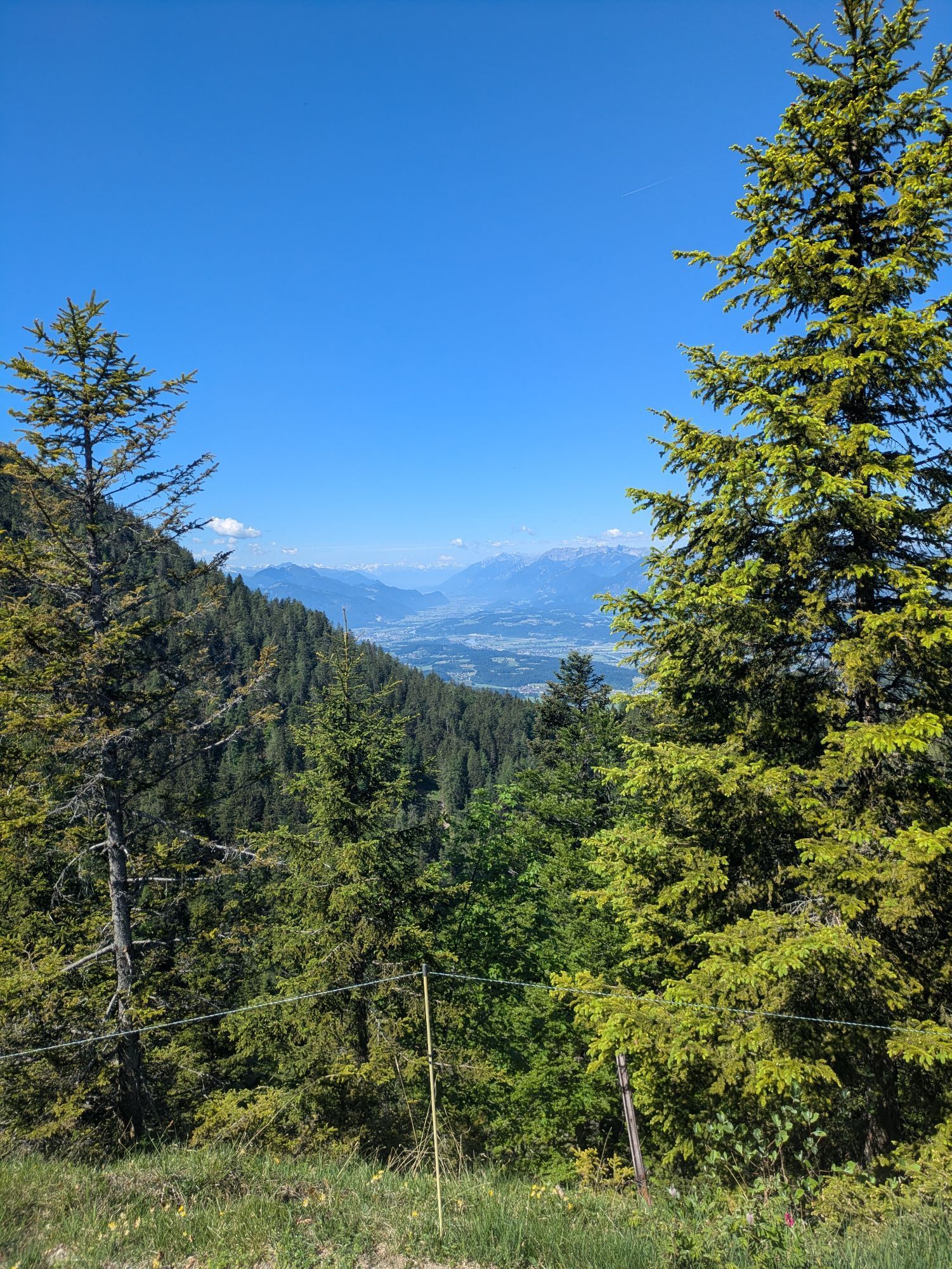
From Hintersteiner See, hike towards the Walleralm Alpine pasture at the foot of the Zettenkaiserkopf mountain and continue to the Hochegg mountain with its wonderful views down into the Inntal valley. Heading across Alpine pastures, the path leads to the high plateau of the Kaindlhütte mountain hut. On the northern side of the Wilder Kaiser, the Bettlersteig trail takes you past two gorges as you make your way to the Anton-Karg-Haus. You should then continue to the Hans-Berger-Haus and onward until you reach the Stripsenjochhaus, which offers fantastic views over the Totenkirchl and Predigtstuhl rock faces that are several hundred metres high.
Walk on via the Stripsenkopf, the Feldberg and the Scheibenbichlberg mountains as you head down into the romantic Kaiserbachtal valley. This route offers a whole series of wonderful views into wild rocky gorges such as the Steinerne Rinne in the south or up to Chiemsee lake in the north. From Griesenau, this stage leads along the Engelbach stream and continues on the forest road until you reach Gasteig.
The Maukspitze summit is a constant presence on this stage, which heads south along the Wilder-Kaiser-Steig trail as it passes through the forest and across Alpine pastures on the way to the Ursulablick viewpoint. Crossing the Niederkaiser, you are able to reach the Graspoint-Hochalm. The return leg takes you via the Graspoint-Niederalm as you head back to the starting point in Going, Hüttling.
See the individual stages of the Kaiserkrone for further details.
Caution:
Obere Regalm – in the summer, food is served only on Fridays, Saturdays and Sundays, Middle September until Middle October Saturdays & Sundays - only when the weather is good.
the Steiner-Hochalm only serves drinks!
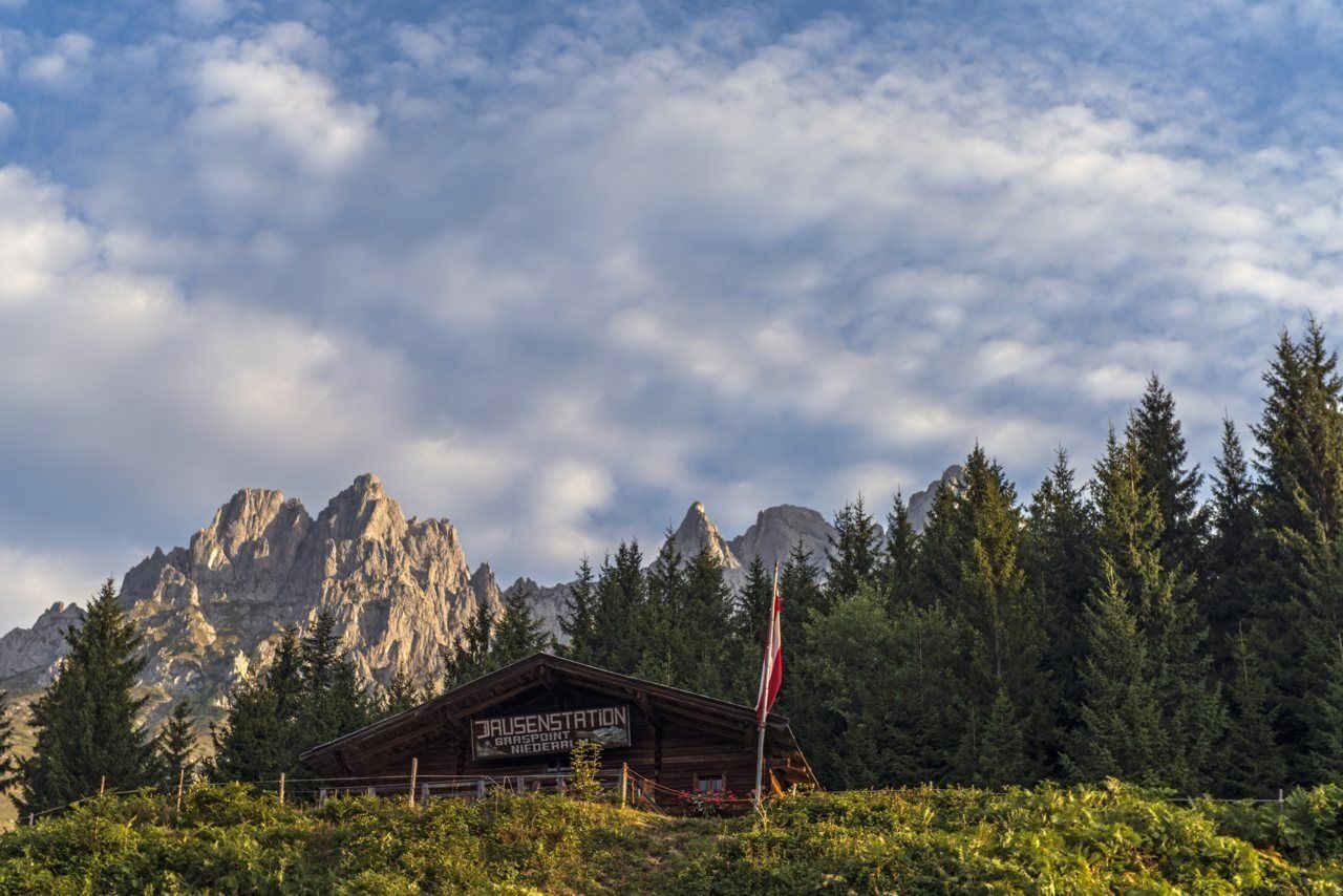
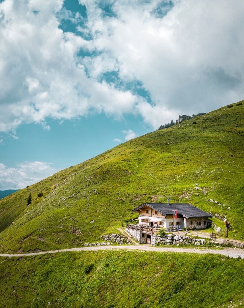
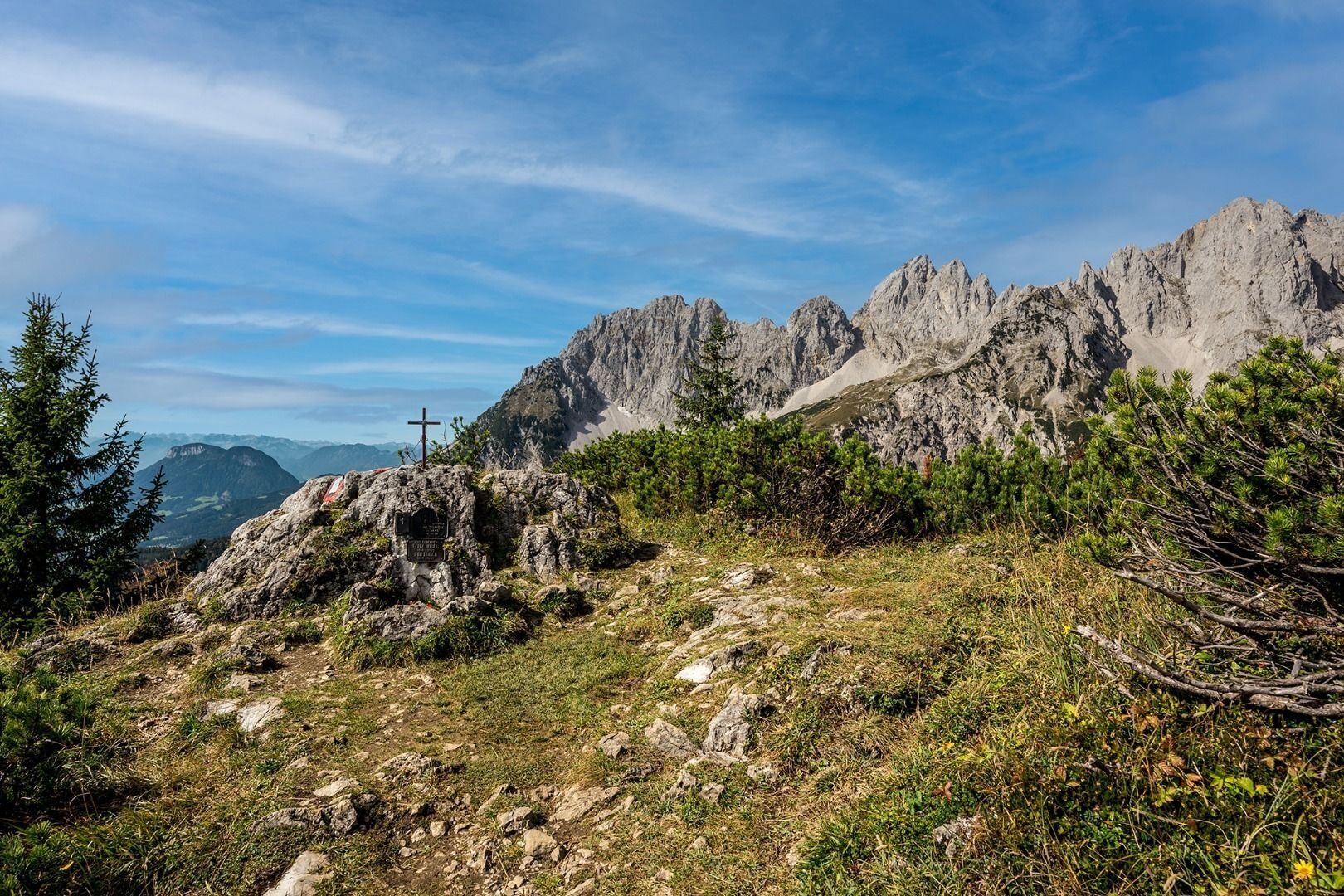
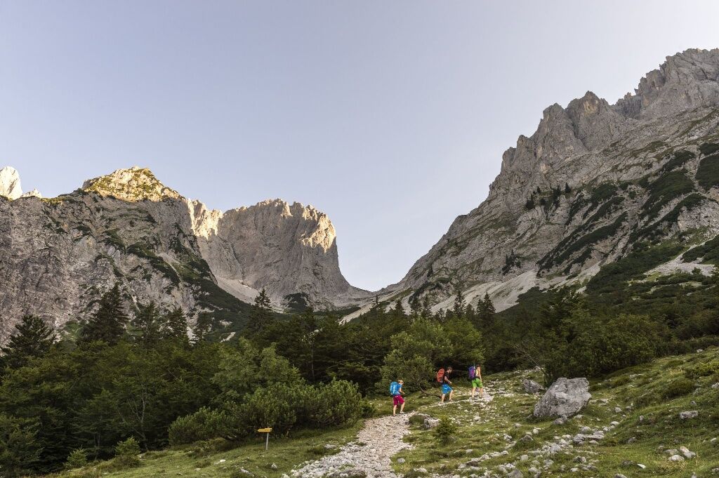
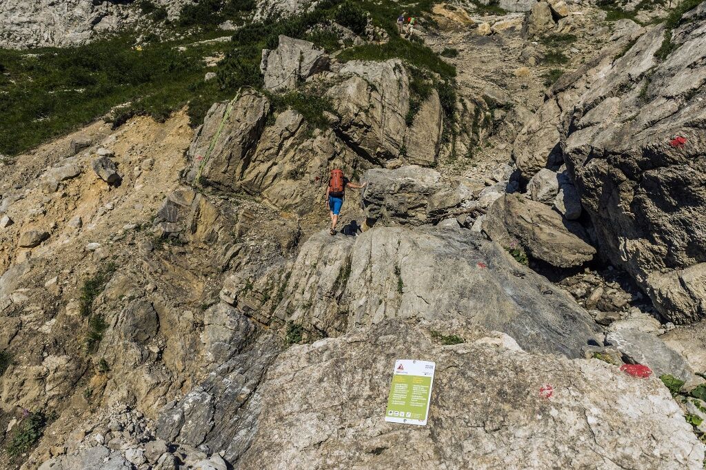
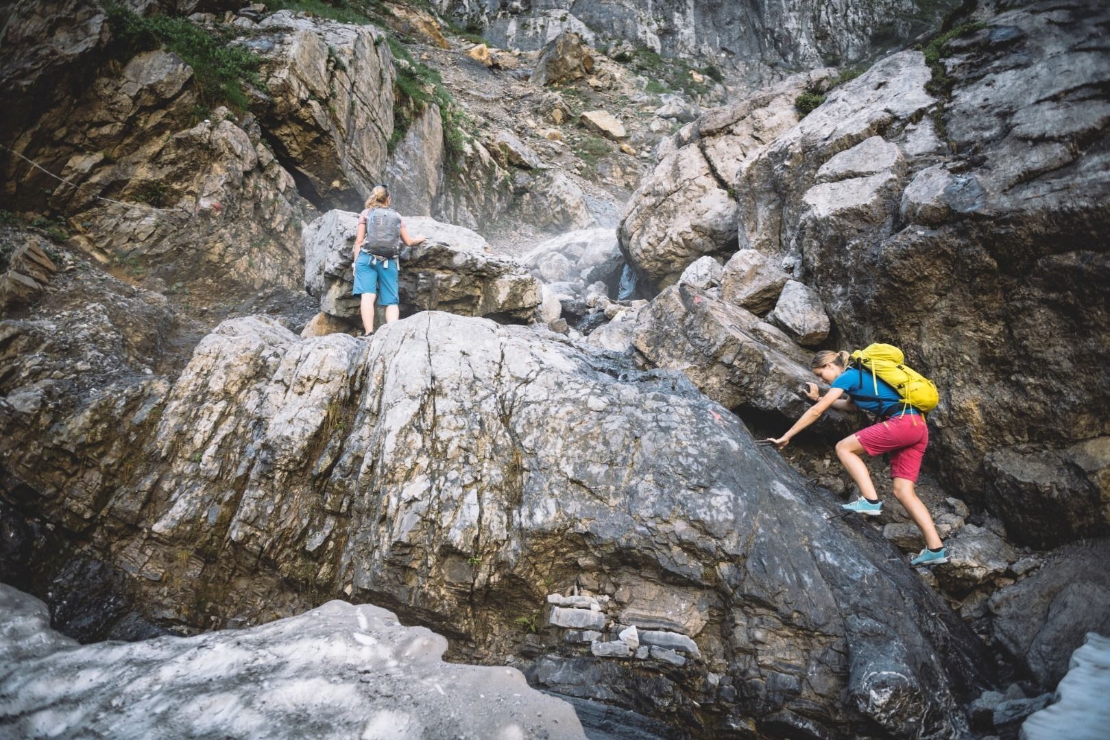
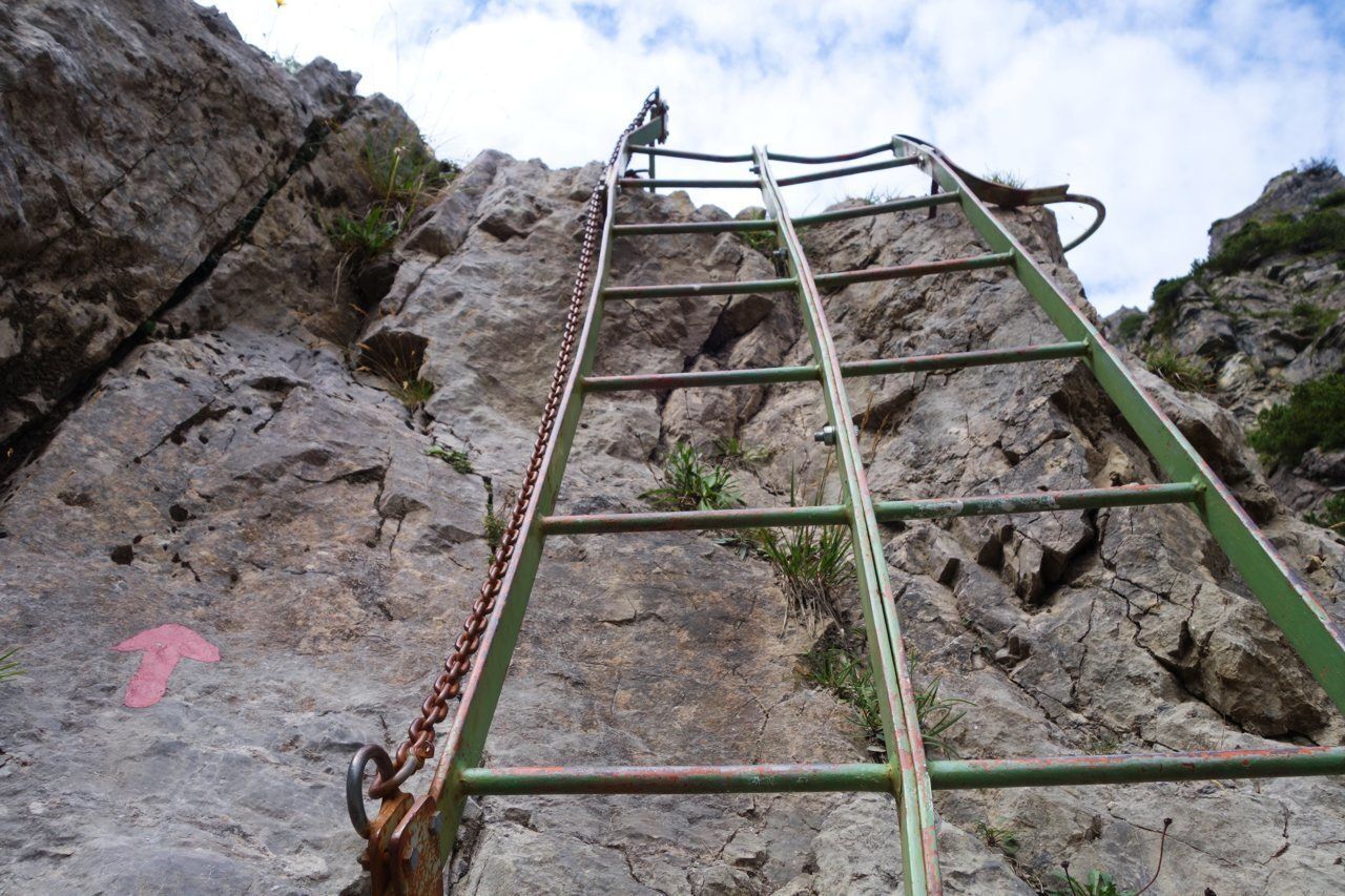
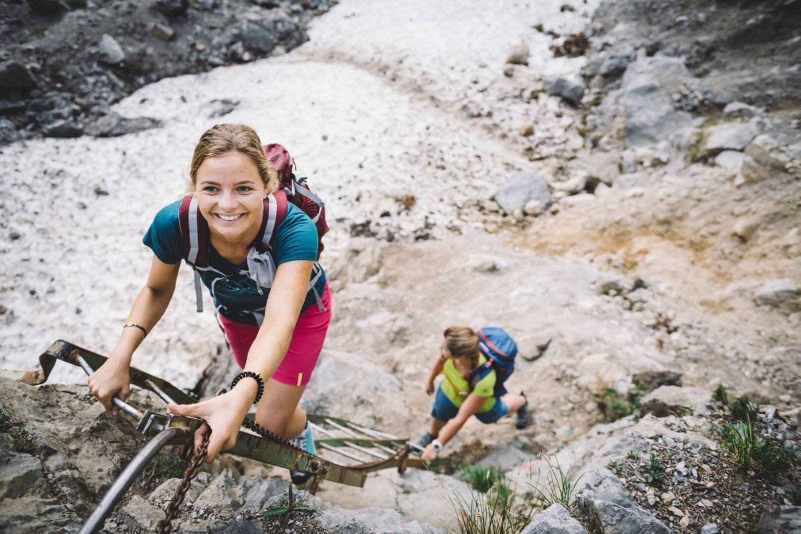
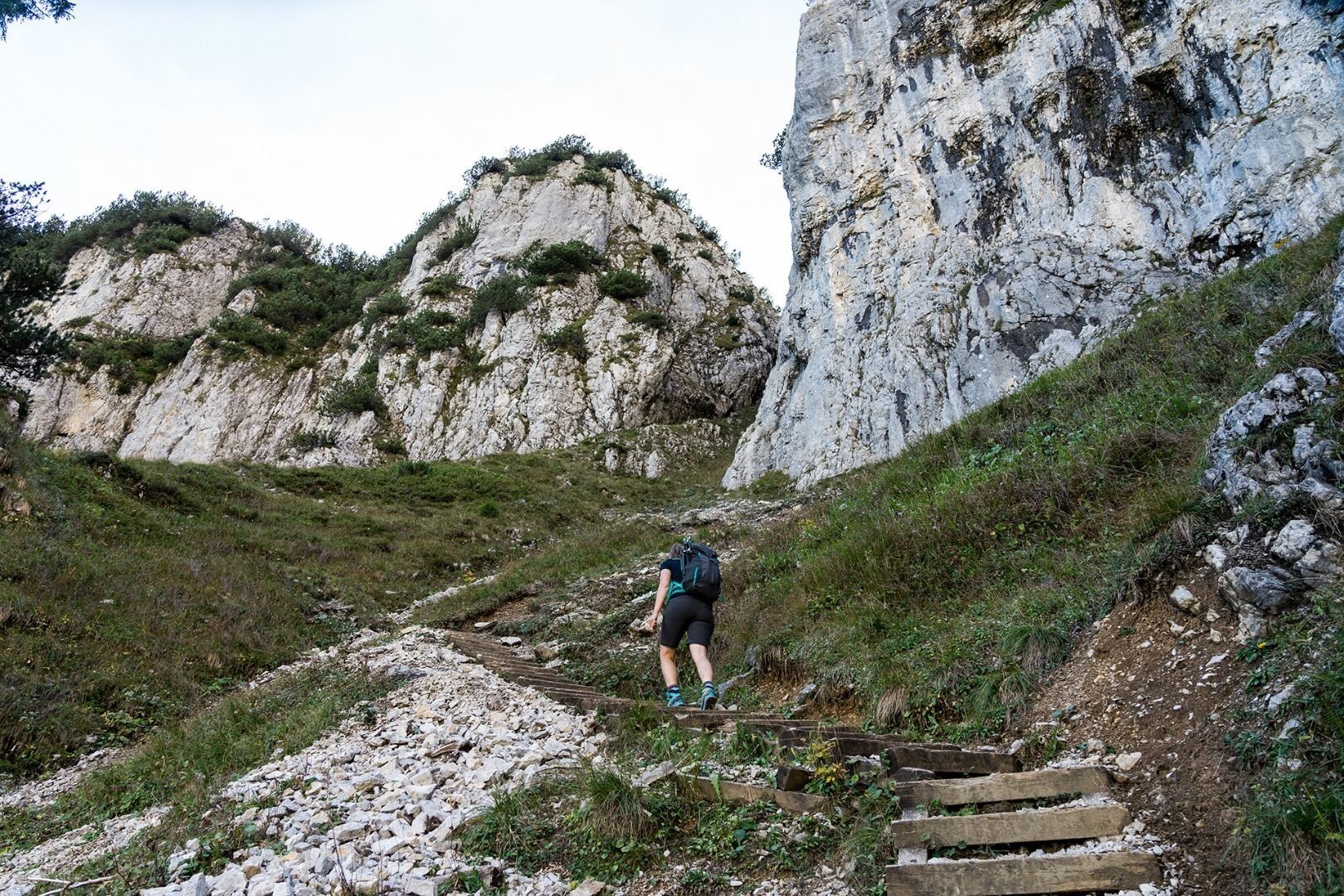
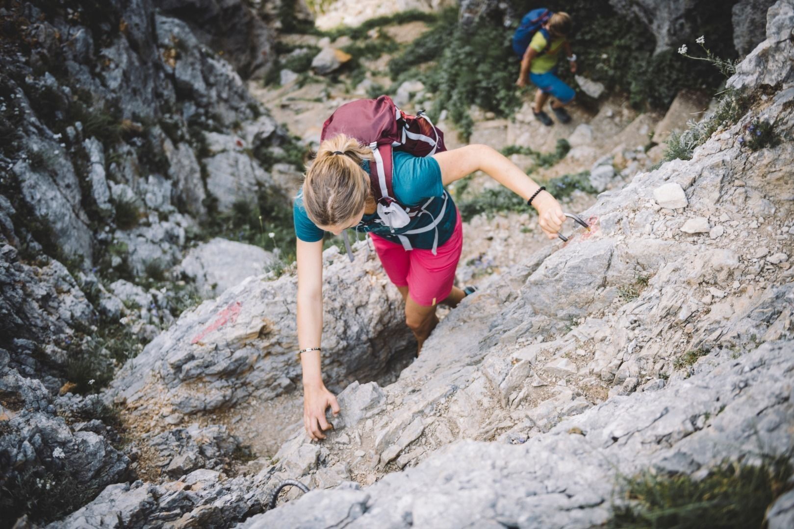
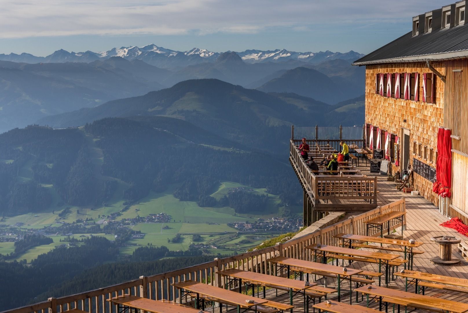
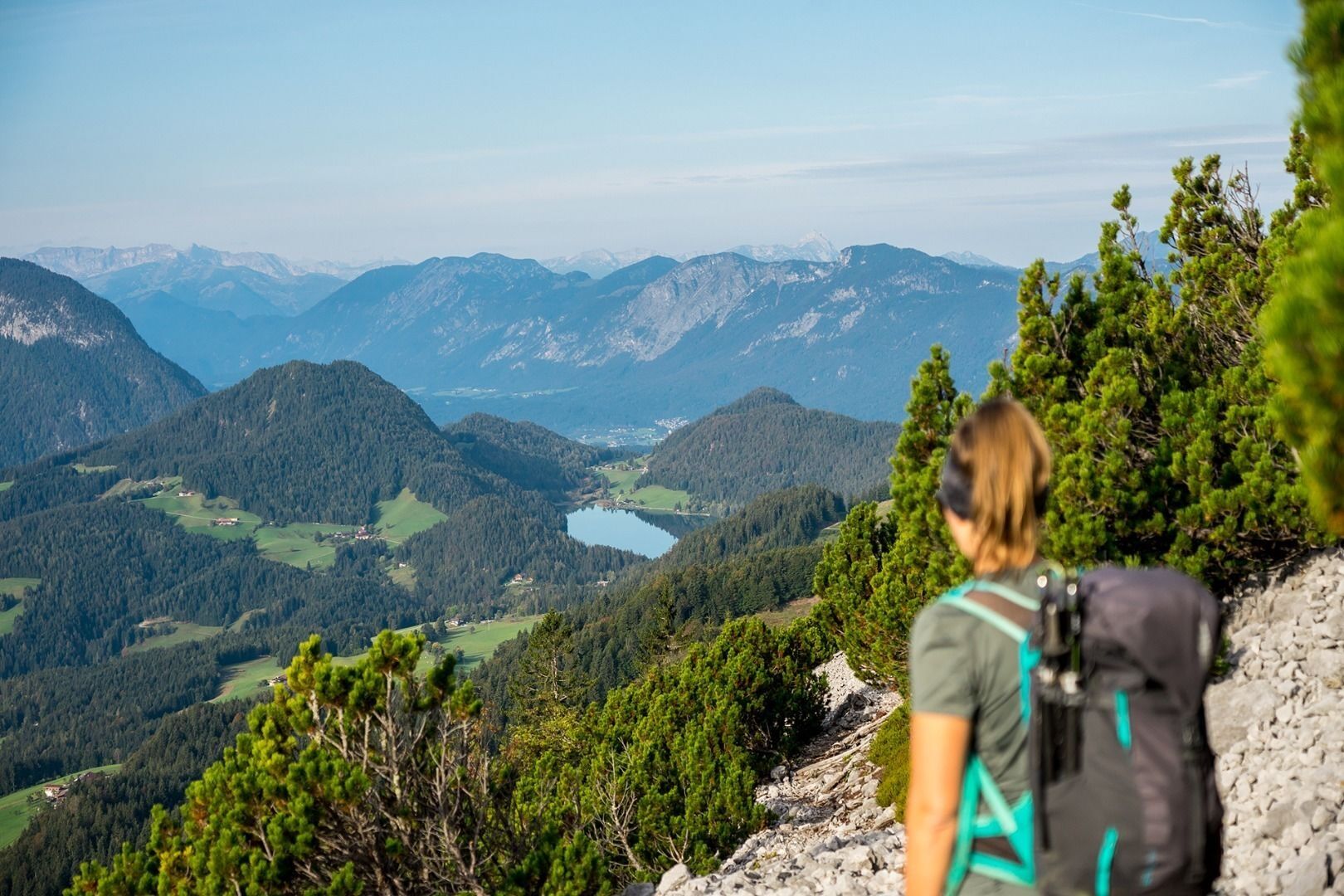
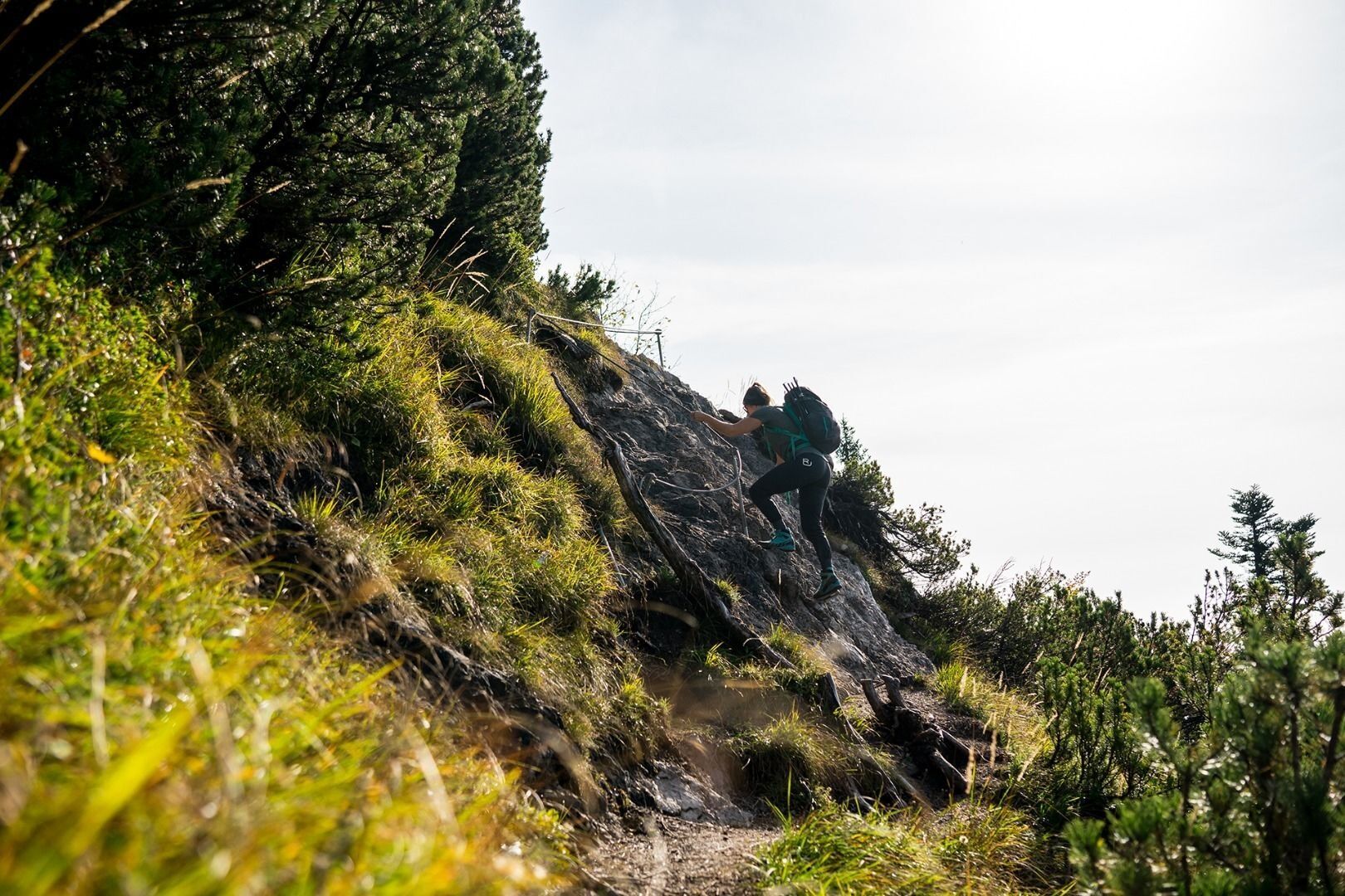
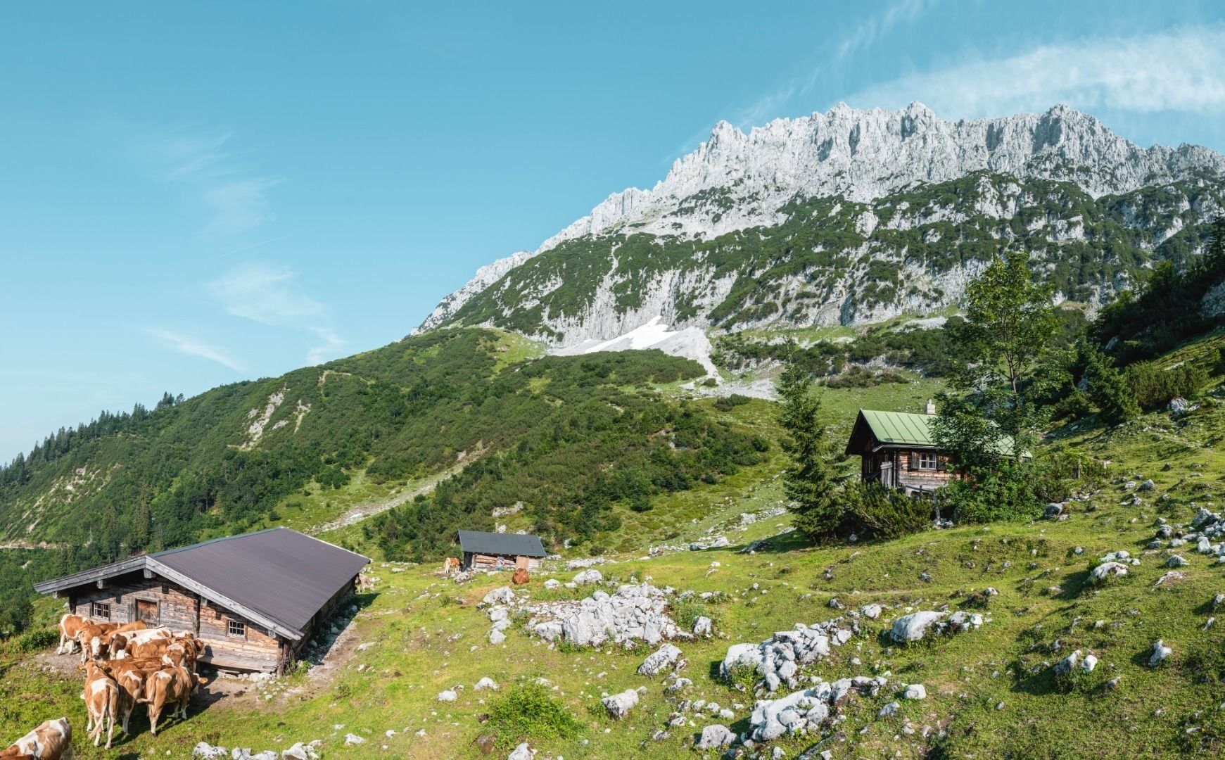
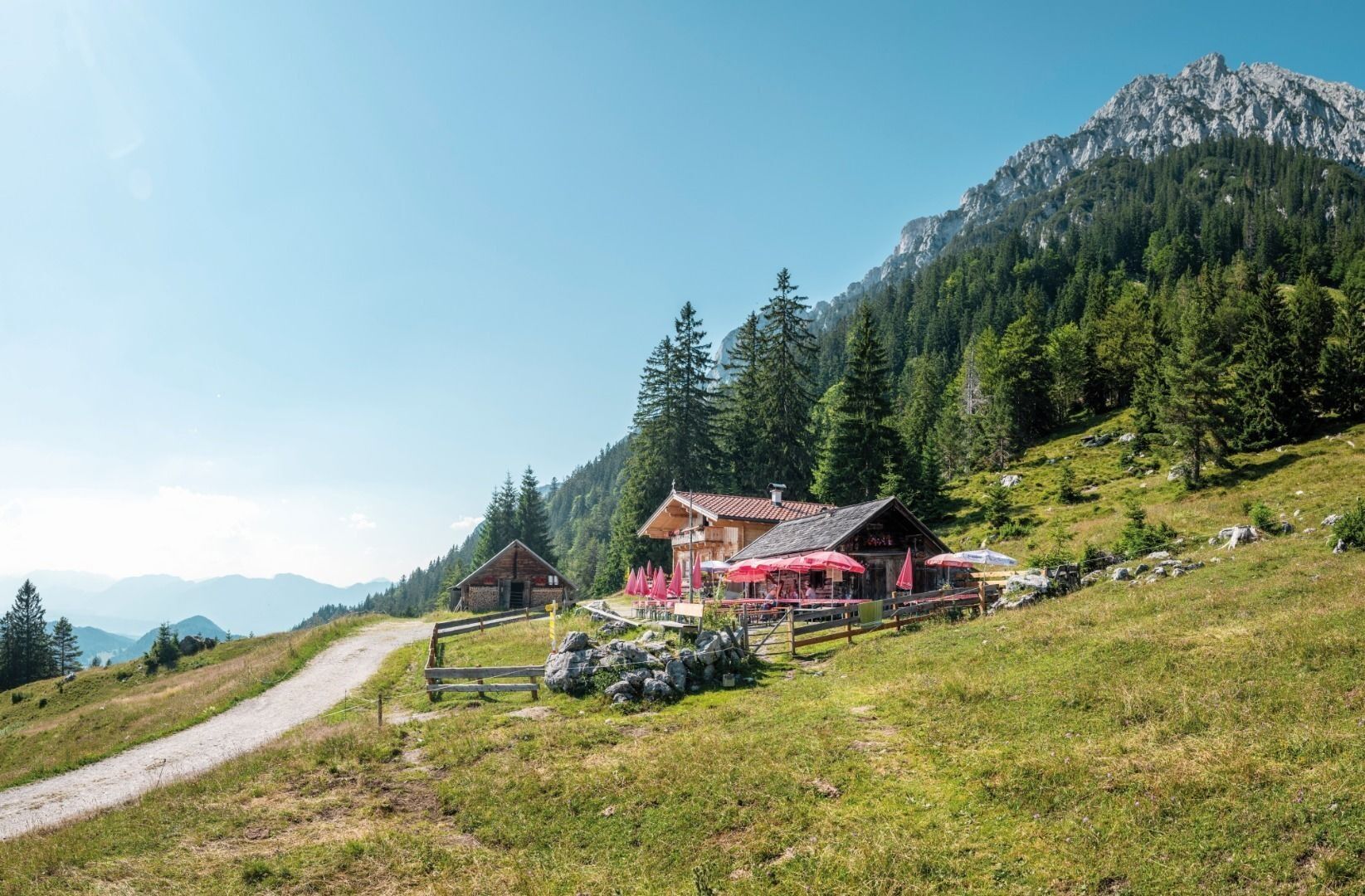
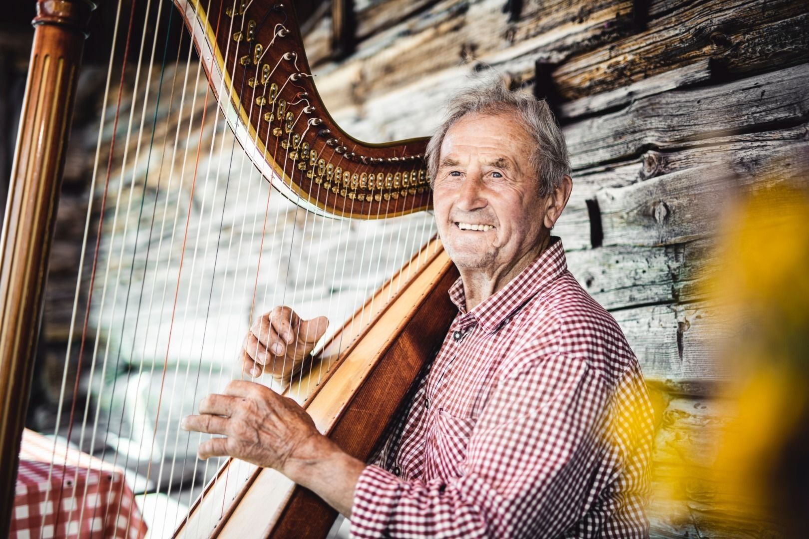
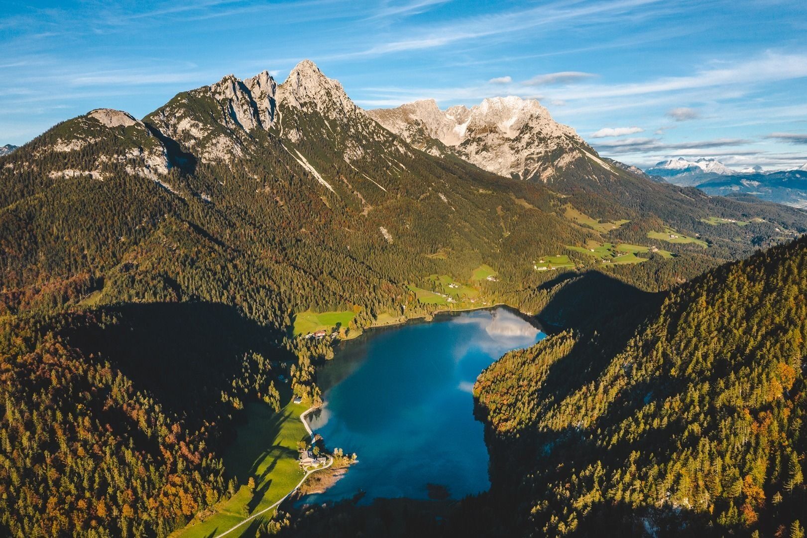
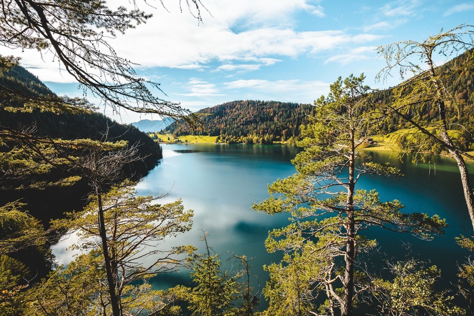
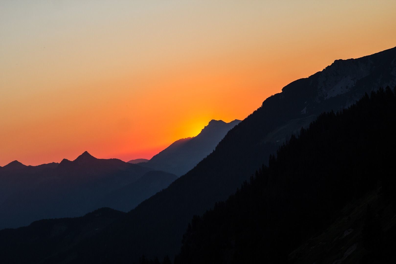
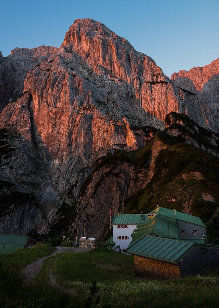
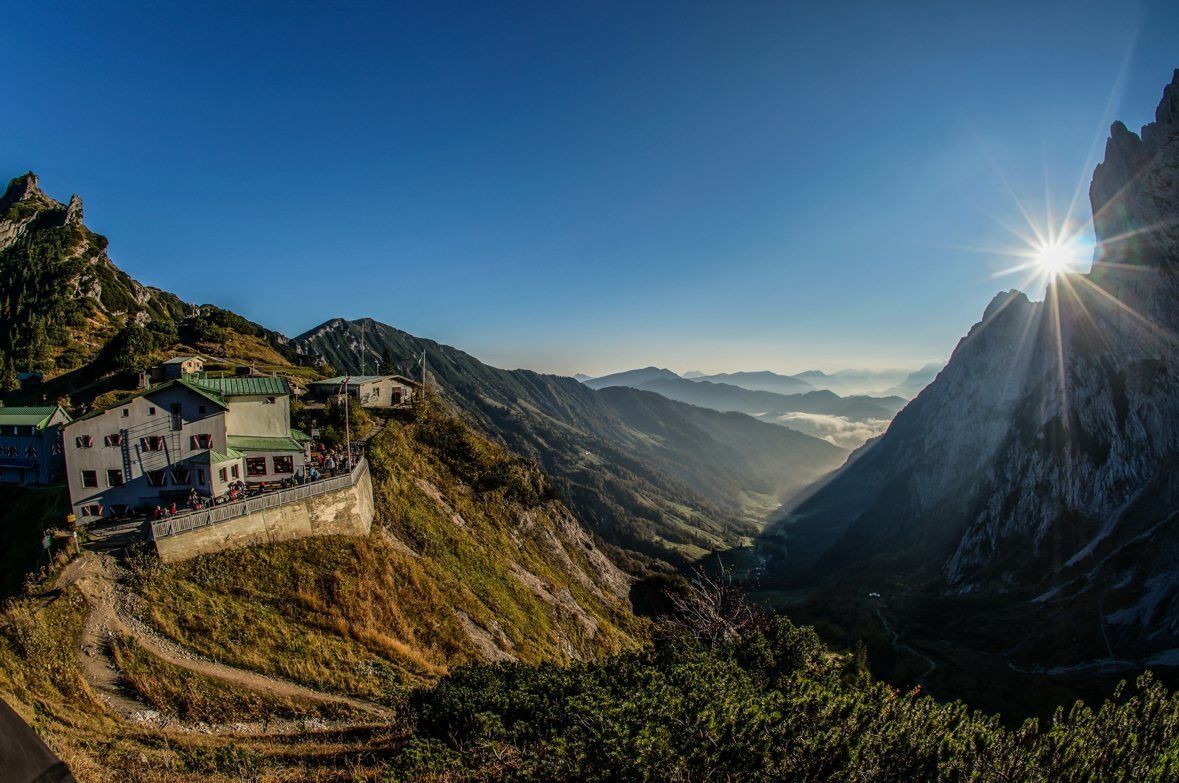
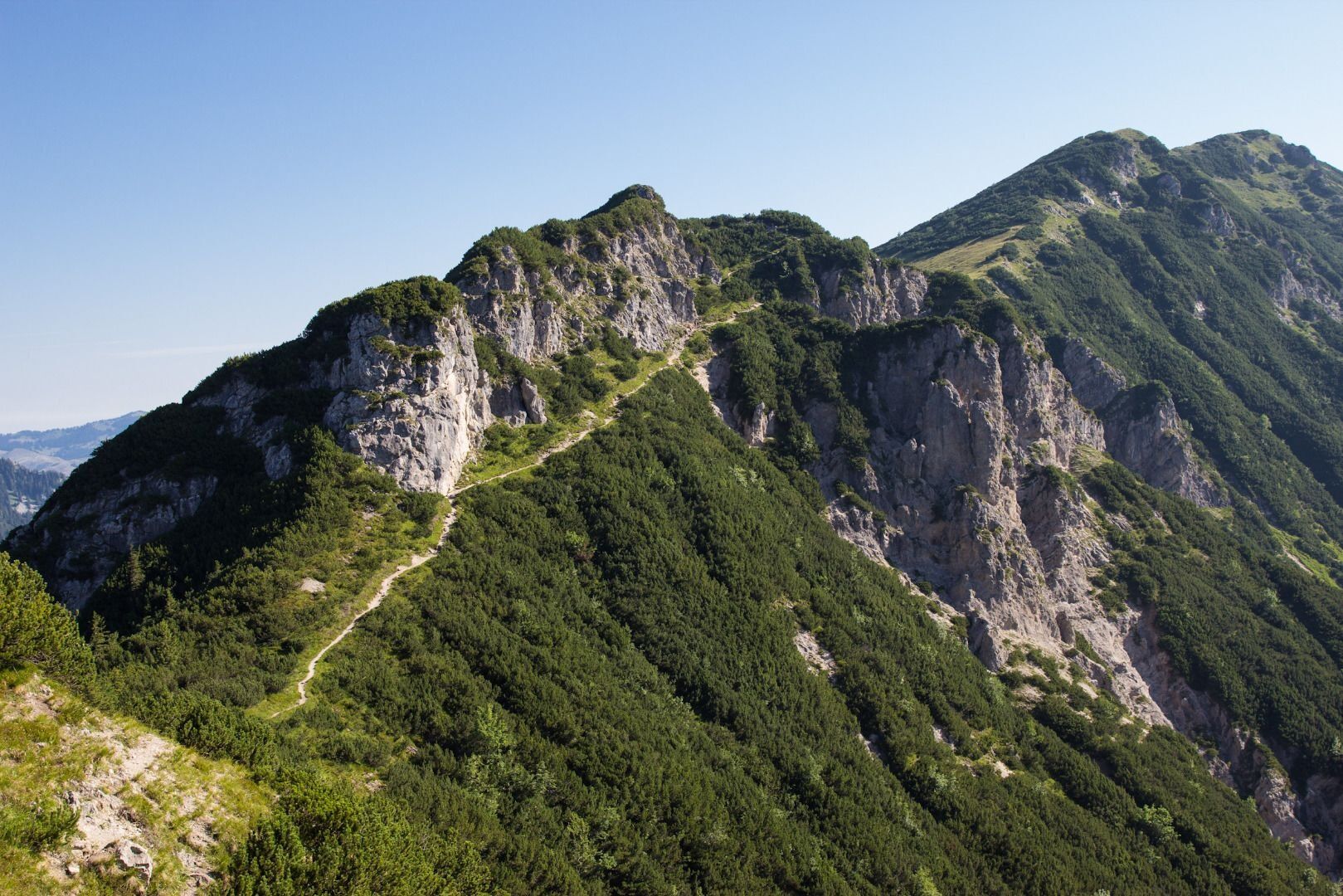
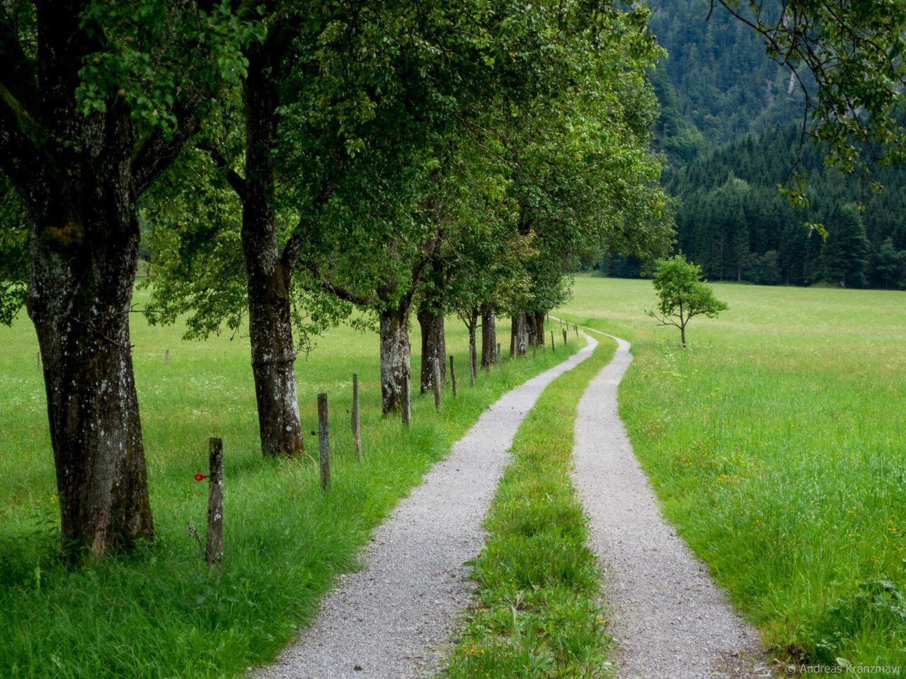
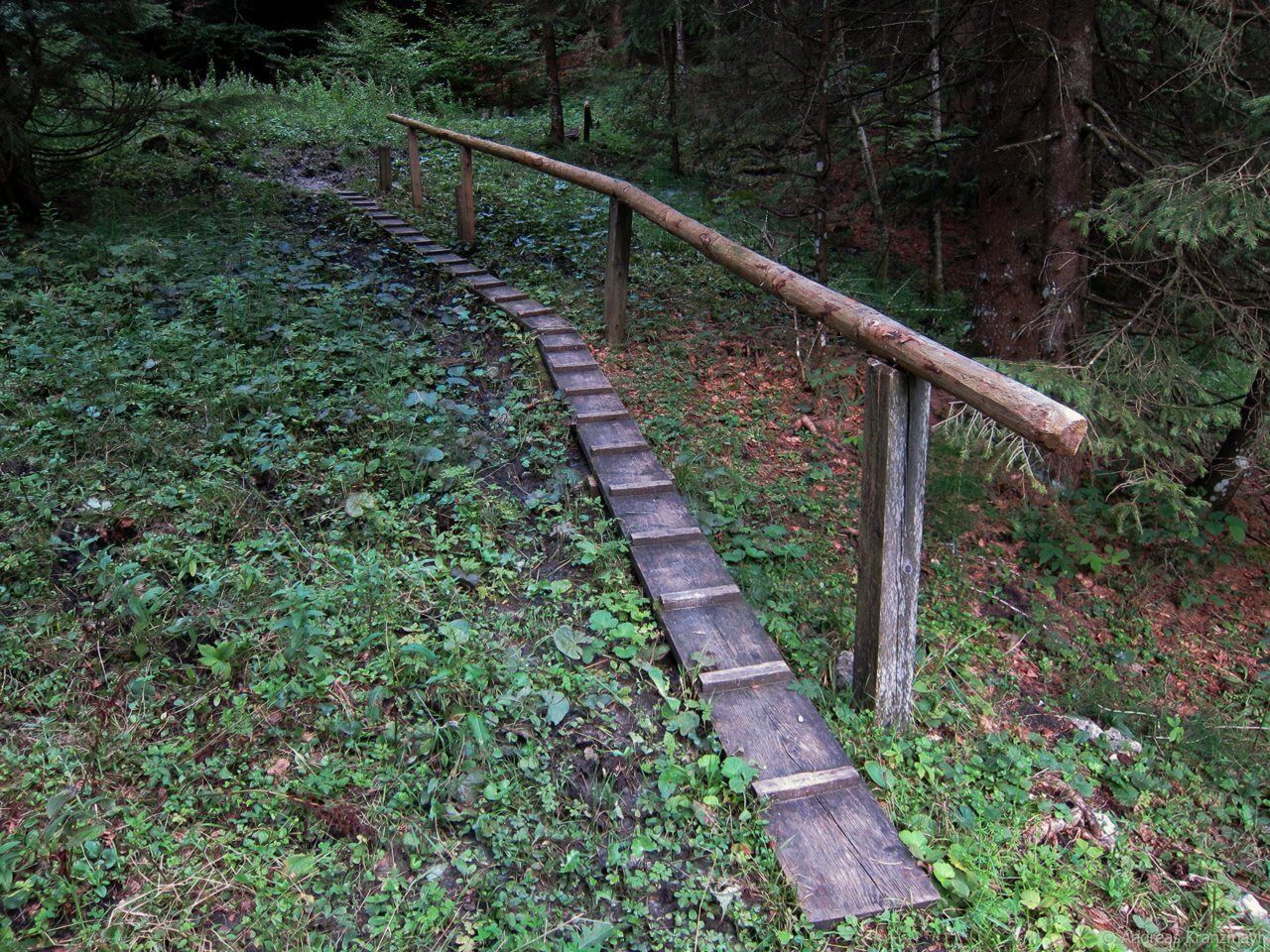
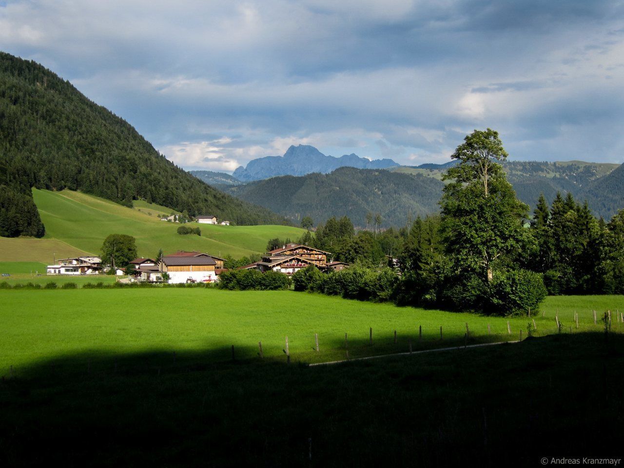
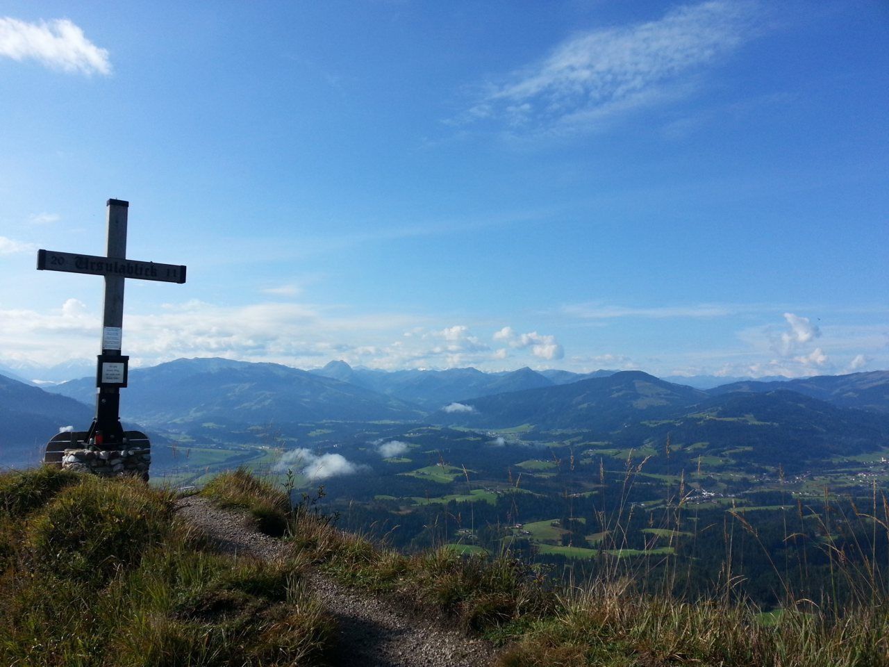
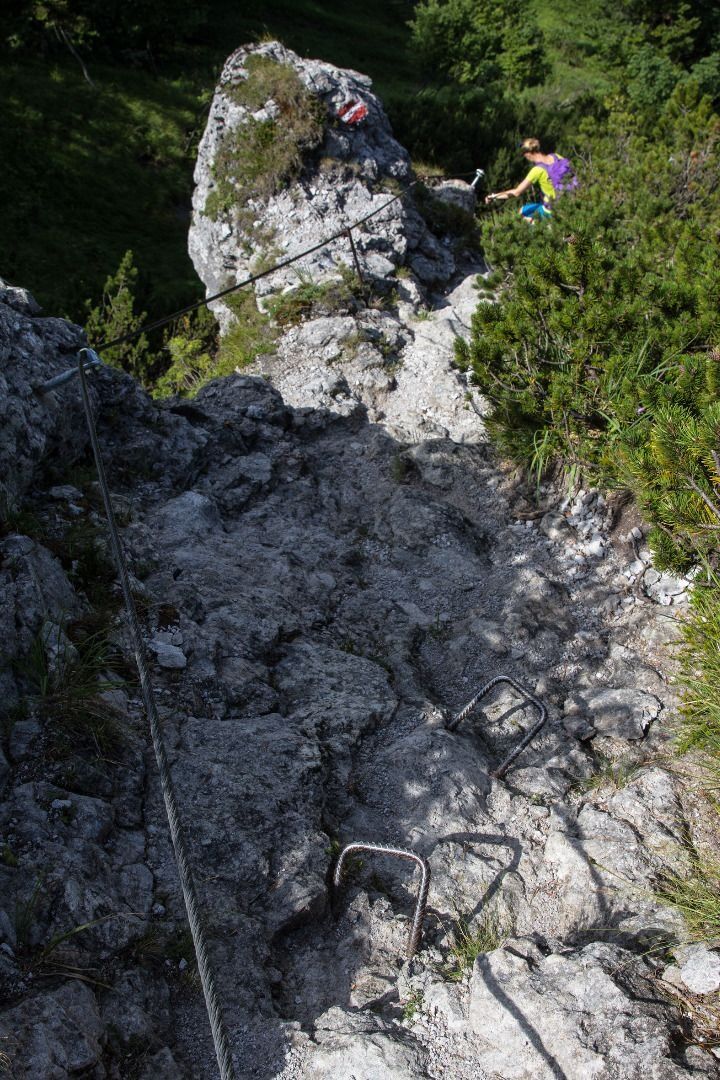
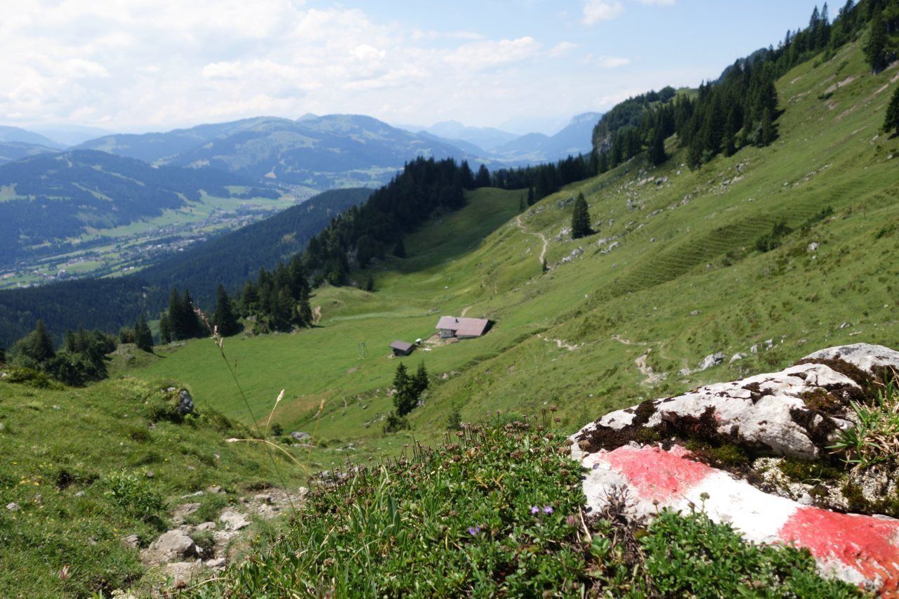
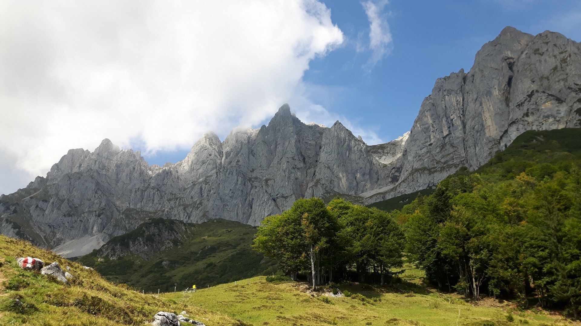

The starting point is in Going, Hüttling (820 m). A forest road takes you past the Graspoint-Niederalm mountain hut and up to the Obere Regalm. From here, walk past the Baumgartenköpfl mountain featuring the Bergsteigergrab, the last rest stop on the “Koasamuch”, and head towards the Gaudeamushütte mountain hut. Stop off here for the best Kaiserschmarrn (shredded pancake) around (overnight stays also available). The path leads through the imposing Klamml and up to the Gruttenhütte, the highest hut in the Wilder Kaiser region and a starting point for a great many climbers and mountain walkers. A further option for an overnight stay is the cosy Riedlhütte mountain hut (1,224 m).
CAUTION: due to renovation work, the Gruttenhütte in Ellmau will only be open to a limited number of guests in summer 2017. With regard to the availability of places for overnight stays, at least on particular weekends, this information will only be announced at short notice.
Alternative options for overnight stays are provided by the Gaudeamushütte and the Riedlhütte. Please make sure to reserve your places at these mountain huts in good time!
The next stage leads around the Treffauer mountain, heading through mountain pines and forested sections until you come to the idyllic Alpine pasture landscape of the Kaiser-Hochalm. Continue on to the Steiner-Hochalm mountain hut. After pausing for a drink while enjoying the sound of the harp, follow the route downhill towards Hintersteiner See. The crystal clear mountain lake offers welcome refreshment for tired feet.
From Hintersteiner See, hike towards the Walleralm Alpine pasture at the foot of the Zettenkaiserkopf mountain and continue to the Hochegg mountain with its wonderful views down into the Inntal valley. Heading across Alpine pastures, the path leads to the high plateau of the Kaindlhütte mountain hut. On the northern side of the Wilder Kaiser, the Bettlersteig trail takes you past two gorges as you make your way to the Anton-Karg-Haus. You should then continue to the Hans-Berger-Haus and onward until you reach the Stripsenjochhaus, which offers fantastic views over the Totenkirchl and Predigtstuhl rock faces that are several hundred metres high.
Walk on via the Stripsenkopf, the Feldberg and the Scheibenbichlberg mountains as you head down into the romantic Kaiserbachtal valley. This route offers a whole series of wonderful views into wild rocky gorges such as the Steinerne Rinne in the south while leading all the way to Chiemsee lake in the north. From Griesenau, this stage leads along the Engelbach stream and continues on the forest road until you reach Gasteig.
The Maukspitze summit is a constant presence on this stage, which heads south along the Wilder-Kaiser-Steig trail as it passes through the forest and across Alpine pastures on the way to the Ursulablick viewpoint. Crossing the Niederkaiser, you are able to reach the Graspoint-Hochalm. The return leg takes you via the Graspoint-Niederalm as you head back to the starting point in Going, Hüttling.
See the individual stages of the Kaiserkrone for further details.
Caution:
Obere Regalm – in the summer, food is served only on Wednesdays, Saturdays and Sundays when the weather is good.
the Steiner-Hochalm only serves drinks!
Wilder Kaiser hiking map (1:25.000) available at the Tourist information offices Ellmau, Going, Scheffau and Söll.
Additions for overnight stay at mountain hut:
Mountain hut sleeping bag, indoor shoes, toiletries and towel, personal medication, headlamp, Alpine Club ID Card, cash, charger for mobile phone
The hiking routes between the huts are often rather long, we recommend taking plenty of food and drink and booking your overnight stays well in advance.
Heading from St. Johann on the B178 road, take the first exit to Going and drive through the village. Before the bridge turn diagonally left. Pass the supermarket "M-Preis" and turn left after the "Schedererhaus" and immediately right again in front of the ski school.
Public bus stops: Going Dorf or Going Stanglwirt
From the Schedererfeld car park or the "Going Dorf" bus stop, continue with the "Hüttling Hiking Bus" free of charge to the starting point of the Kaiserkrone to Going Hüttling.
More information at: www.wilderkaiser.info/mobility
From the parking lot directly with the Ruftaxi Ellmau-Going to the starting point of the Kaiserkrone to Going Hüttling for € 2,- per person.
The car park at the hiking starting point in Hüttling is a day car park, which means that no ticket can be purchased for several days. The parking ticket is therefore only valid on the day of issue! It is a public car park from May to October. During the winter months from November to April the car park is not attended. During this time the use is at your own risk!
Camping and permanent parking is prohibited on this car park. (Vehicles that are parked illegally will be reported to the police and towed.)
Spletne kamere s turneje
-
Kirchdorf in Tirol - Pension Sonnleit'n
-
St. Johann in Tirol
-
Hartkaiser II
-
Ellmau - Maria Heimsuchungskapelle
-
Going - Ort
-
Eichenhof - St. Johann in Tirol
-
Flugplatz St. Johann in Tirol
-
Flugplatz St. Johann in Tirol
-
Going - Astberg
-
St. Johann in Tirol
-
St. Johann in Tirol - Romantik Aparthotel Sonnleitn
-
Festung Kufstein
Pridobite vpogled
Vedno v živo na mestu z več kot 9.500 spletnimi kamerami. bergfex Kot uporabnik Pro si lahko zdaj ogledate ustrezne spletne kamere za številne izlete v aplikaciji izleti iz. Tako si lahko neposredno ogledate trenutne razmere.
Priljubljeni izleti v okolici
-
4.7
Kirchdorf: Zur geheimnisvollen Teufelsgasse
srednjaPohodništvo 7.90 km -
5.0
Priener Hütte
srednjaPohodništvo 7.99 km -
4.8
Gruttenhütte über Klammlweg
srednjaPohodništvo 5.61 km -
4.9
Schleierwasserfall Runde
srednjaPohodništvo 5.63 km -
4.8
Ellmauer Tor (22.07.2020)
srednjaPohodništvo 9.32 km -
5.0
Stripsenjoch Klettersteige/ Rundwanderung von Griesener Alm über Stripsenjochhaus und Feldberg
srednjaVia ferrata 10.2 km -
4.7
Musikantensteig zur Naunspitze
srednjaPohodništvo 8.96 km -
4.6
Hintersteinersee
srednjaPohodništvo 9.87 km -
4.6
Geigelstein
srednjaPohodništvo 14.5 km -
4.5
Wanderung: Spitzstein und Altkaseralm von Sachrang
srednjaPohodništvo 4.03 km
Pohodništvo in sledenje


Ne zamudite ponudb in navdiha za naslednje počitnice
Vaš e-poštni naslov je bil dodan na poštni seznam.





