


Kaiserkrone - alternative route at the foot of the Sonnenstein
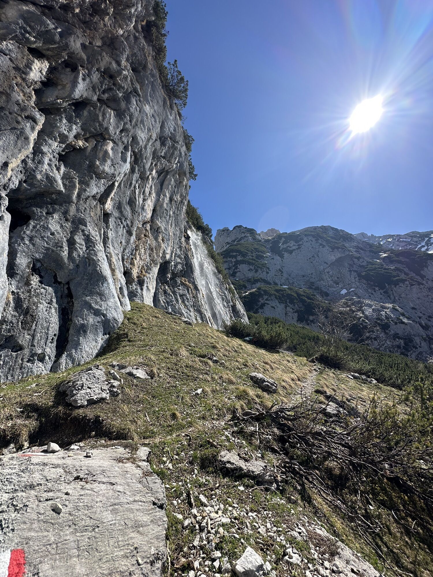
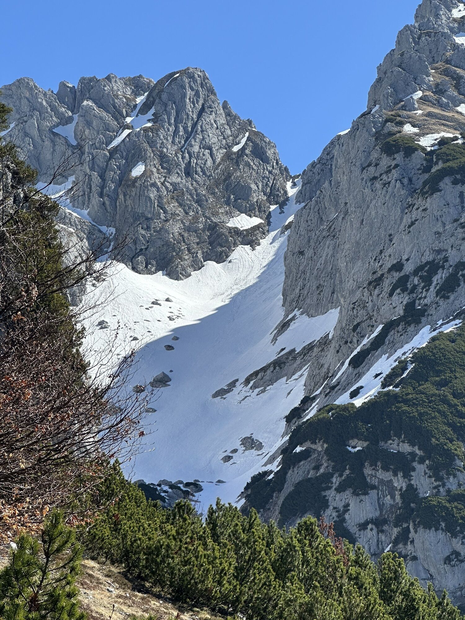
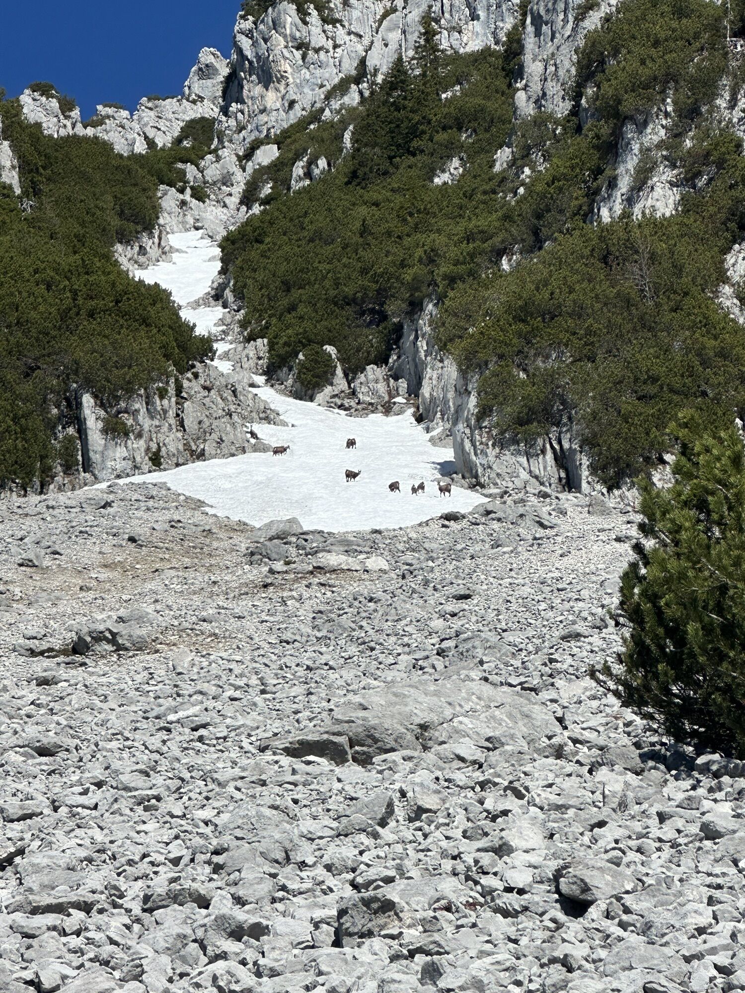
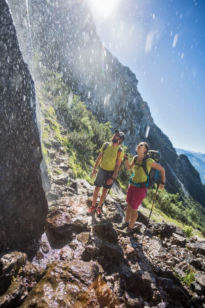
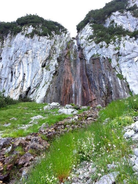
Hike along path 826 heading north (waterfall, Treffauer/Tuxeck, Sonneck) until you reach the waterfall. Enjoy a refreshing cool-down beneath the snow cirque before continuing on path 826 towards the west....
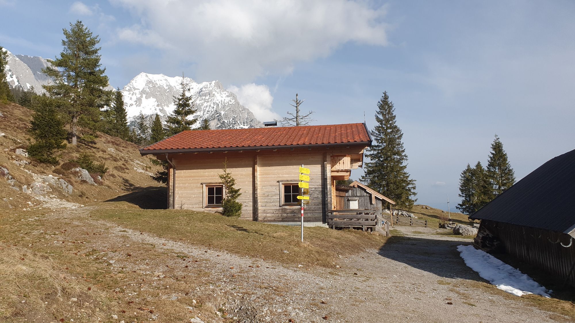
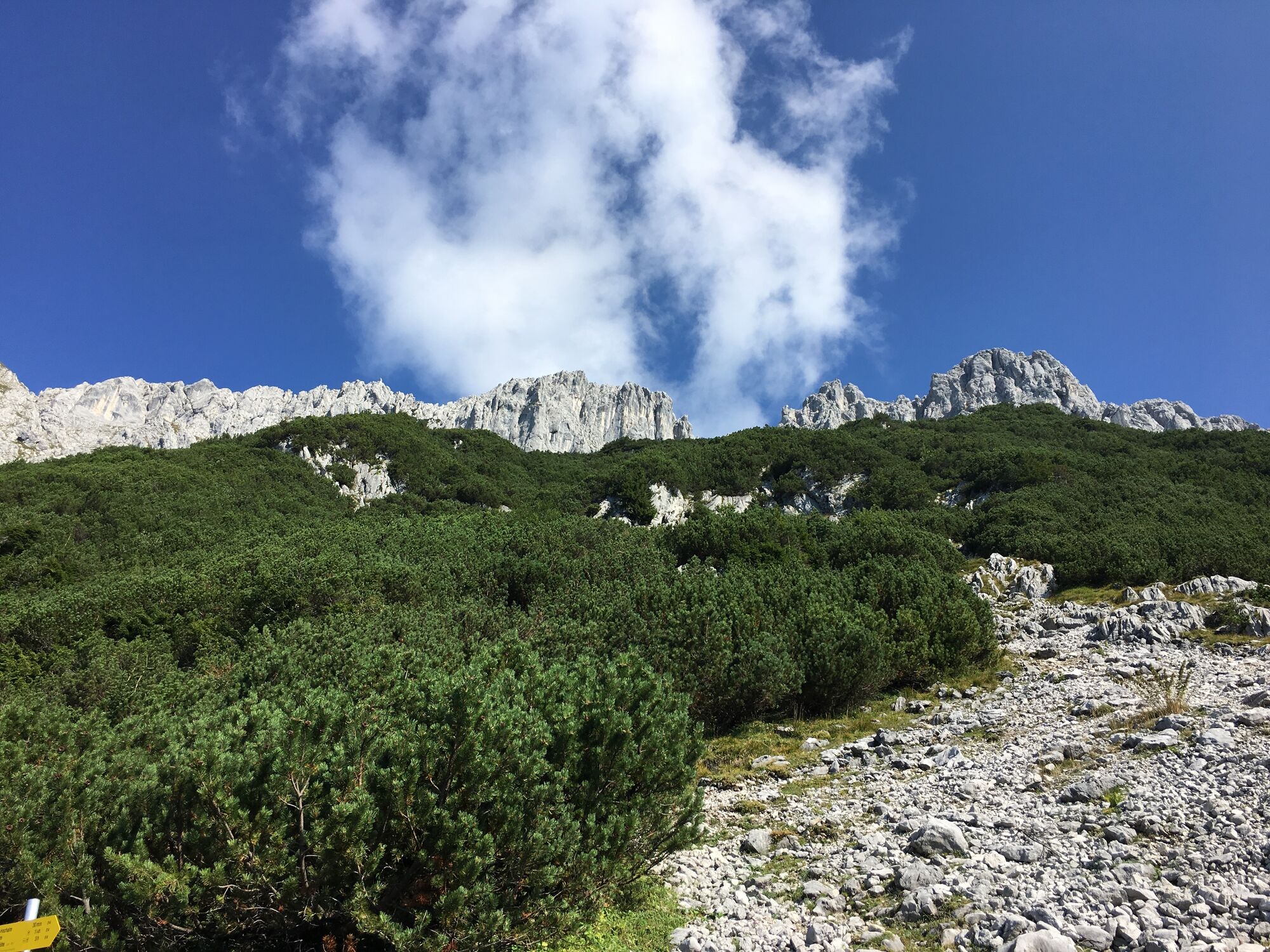
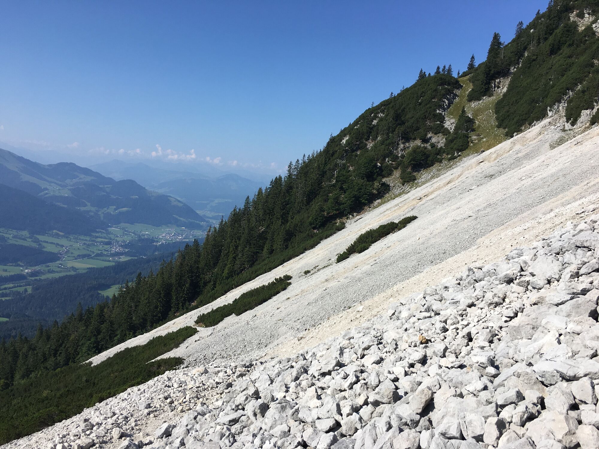
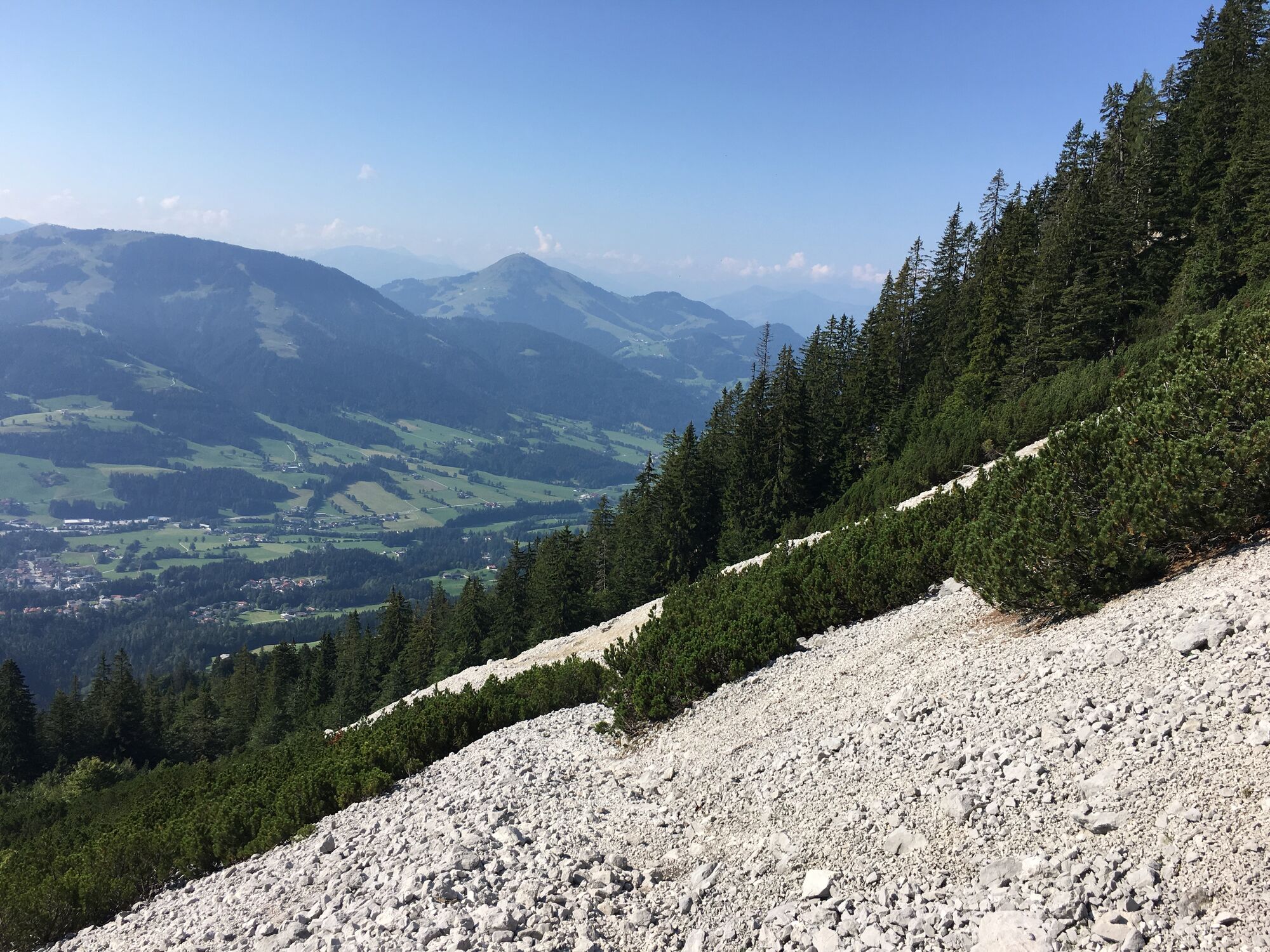
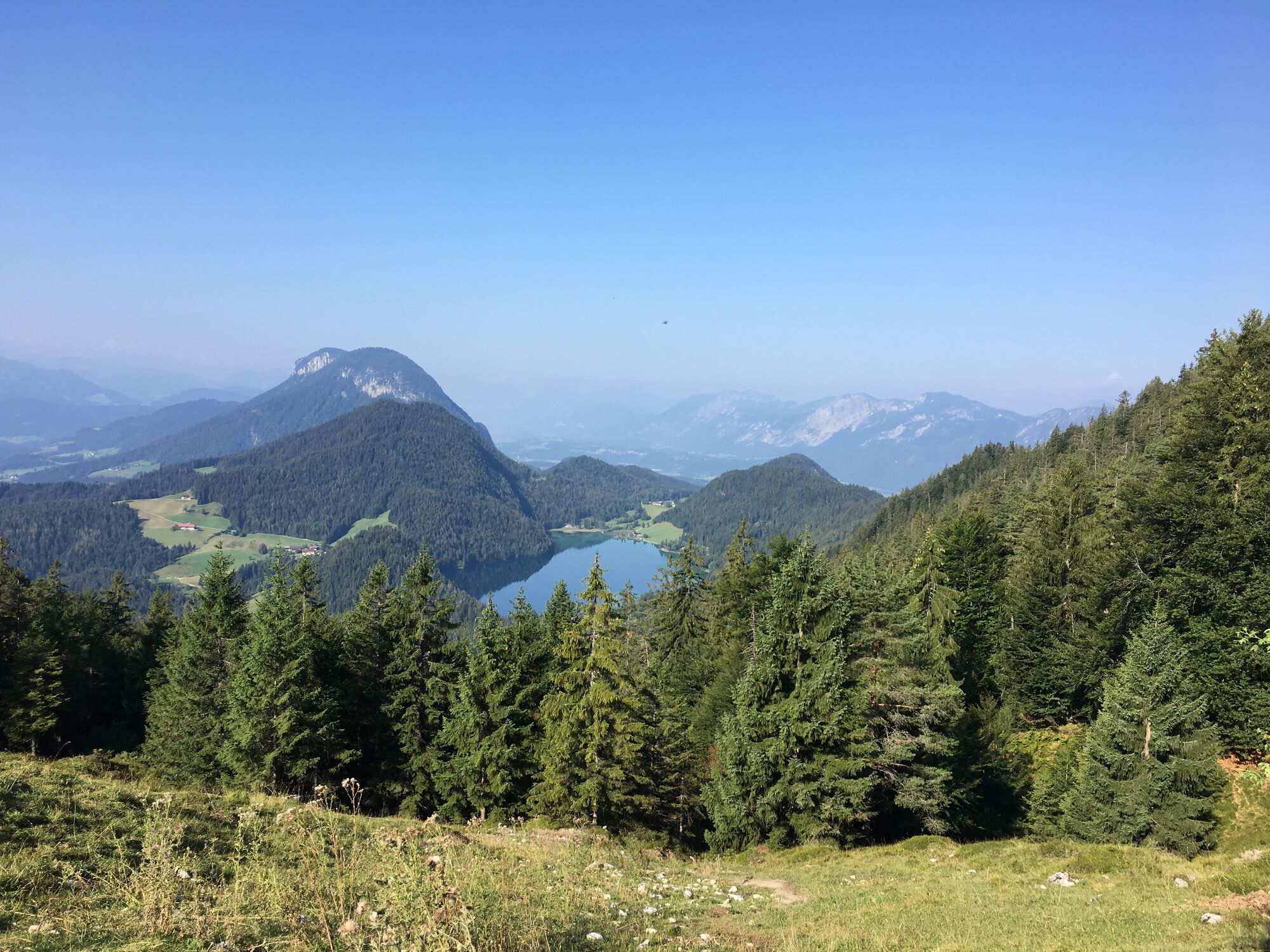
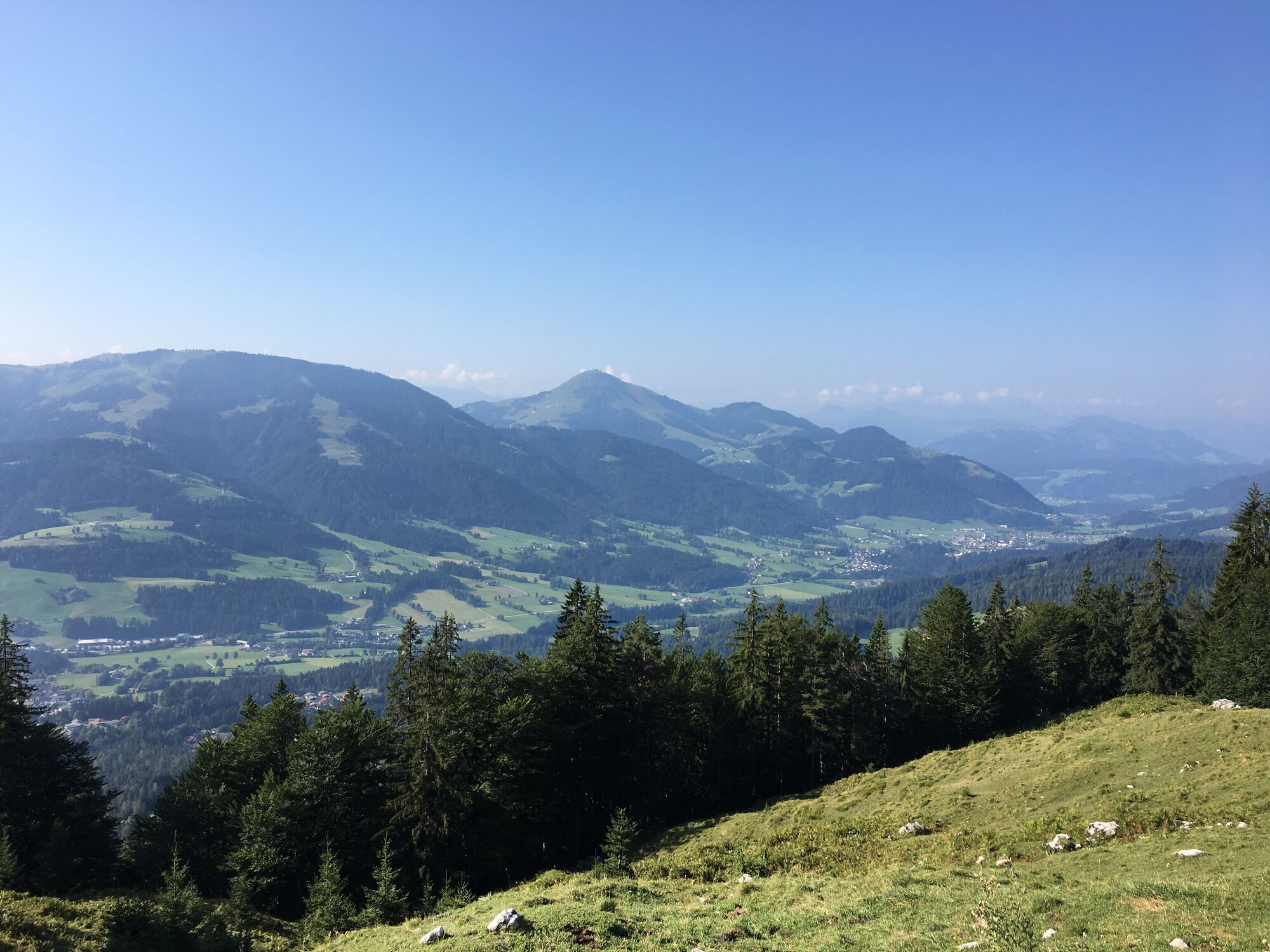
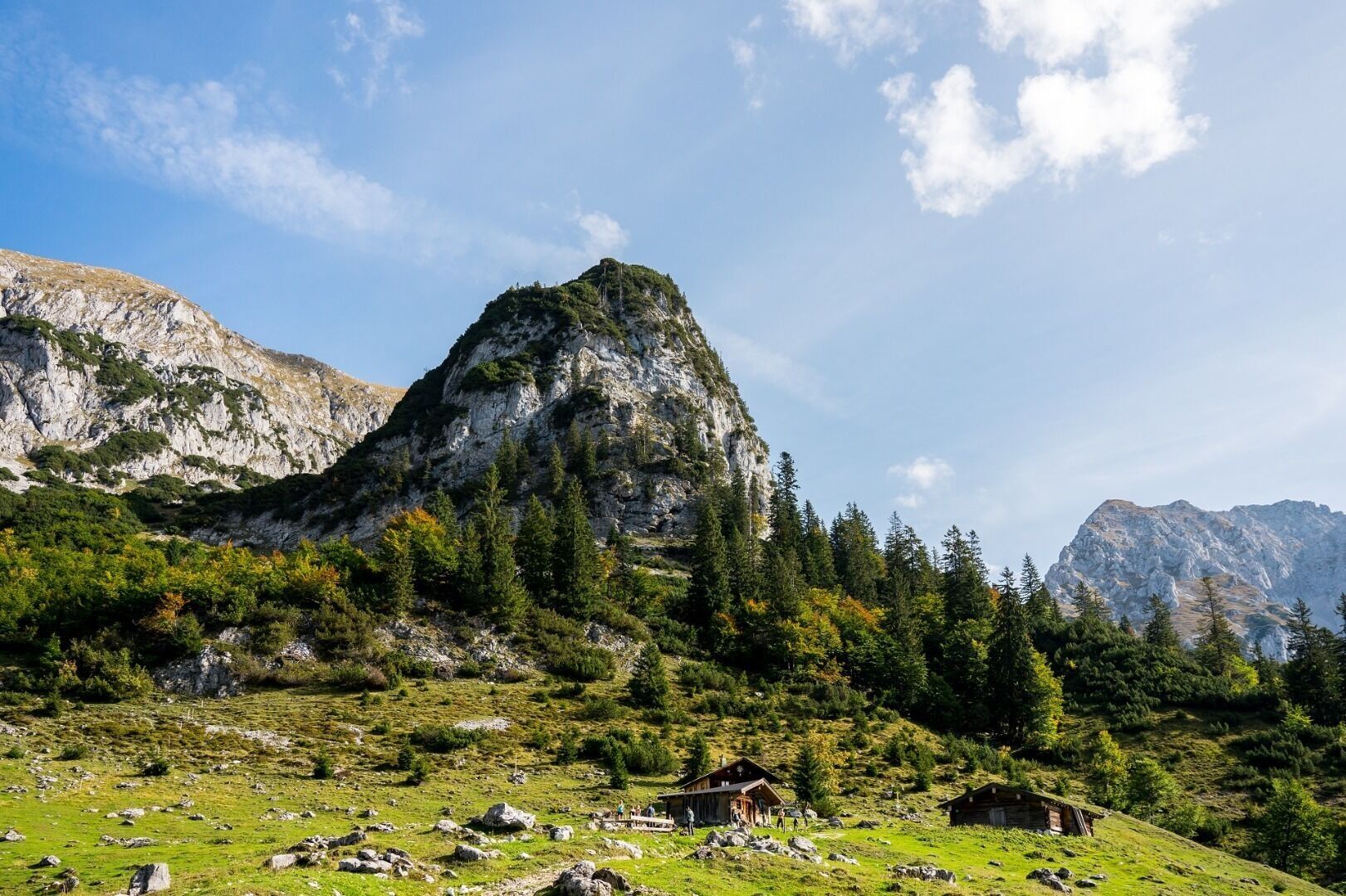
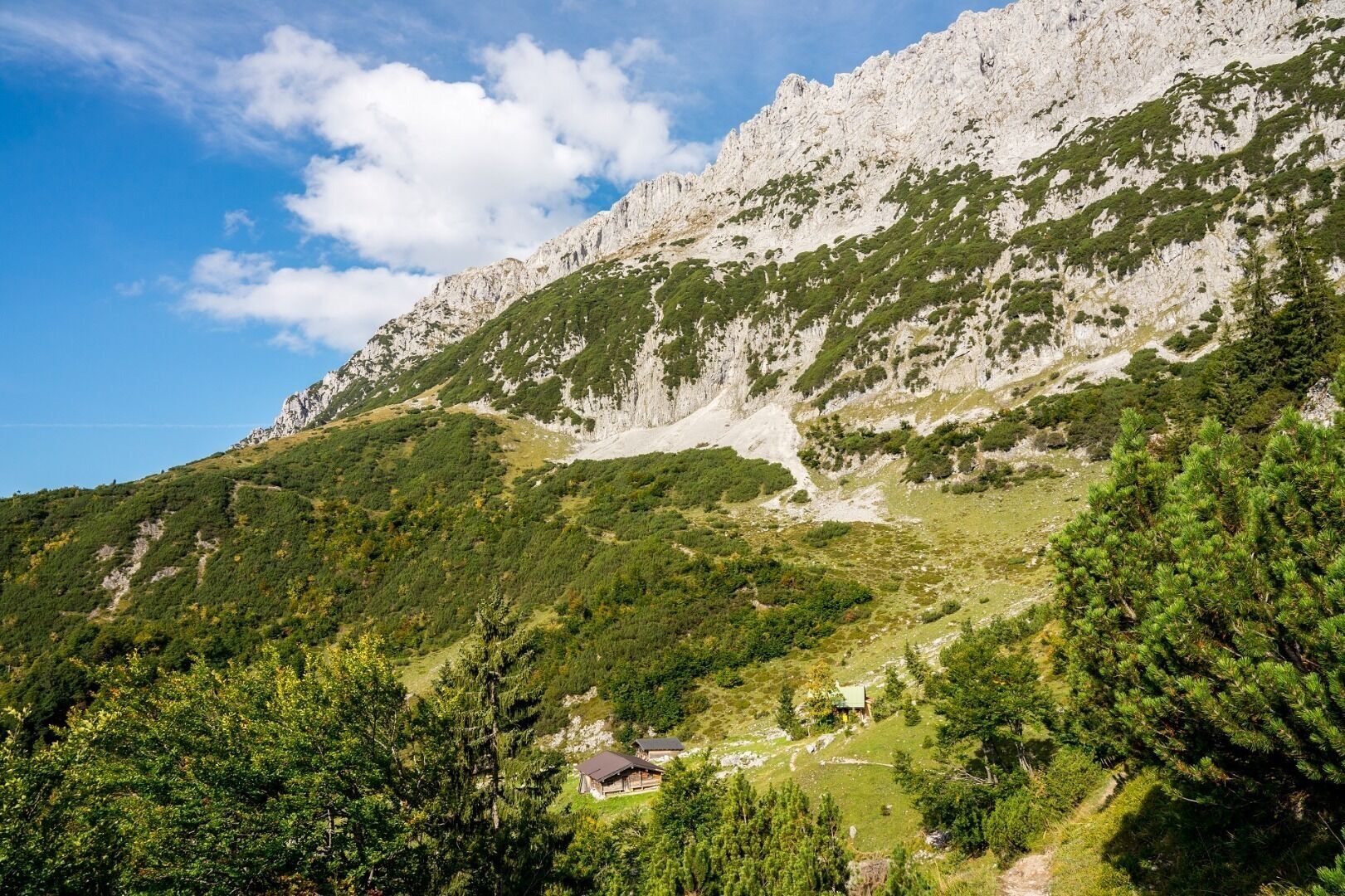
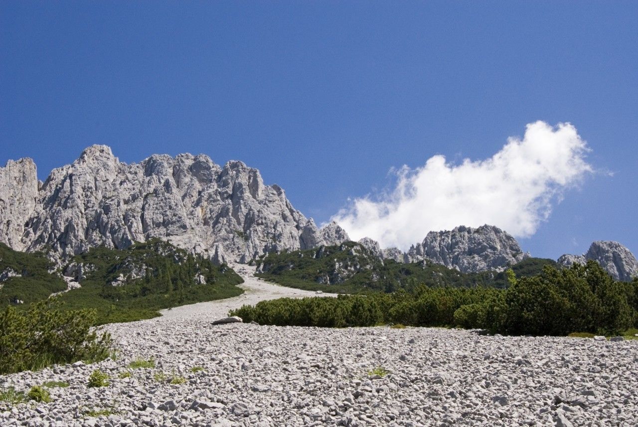
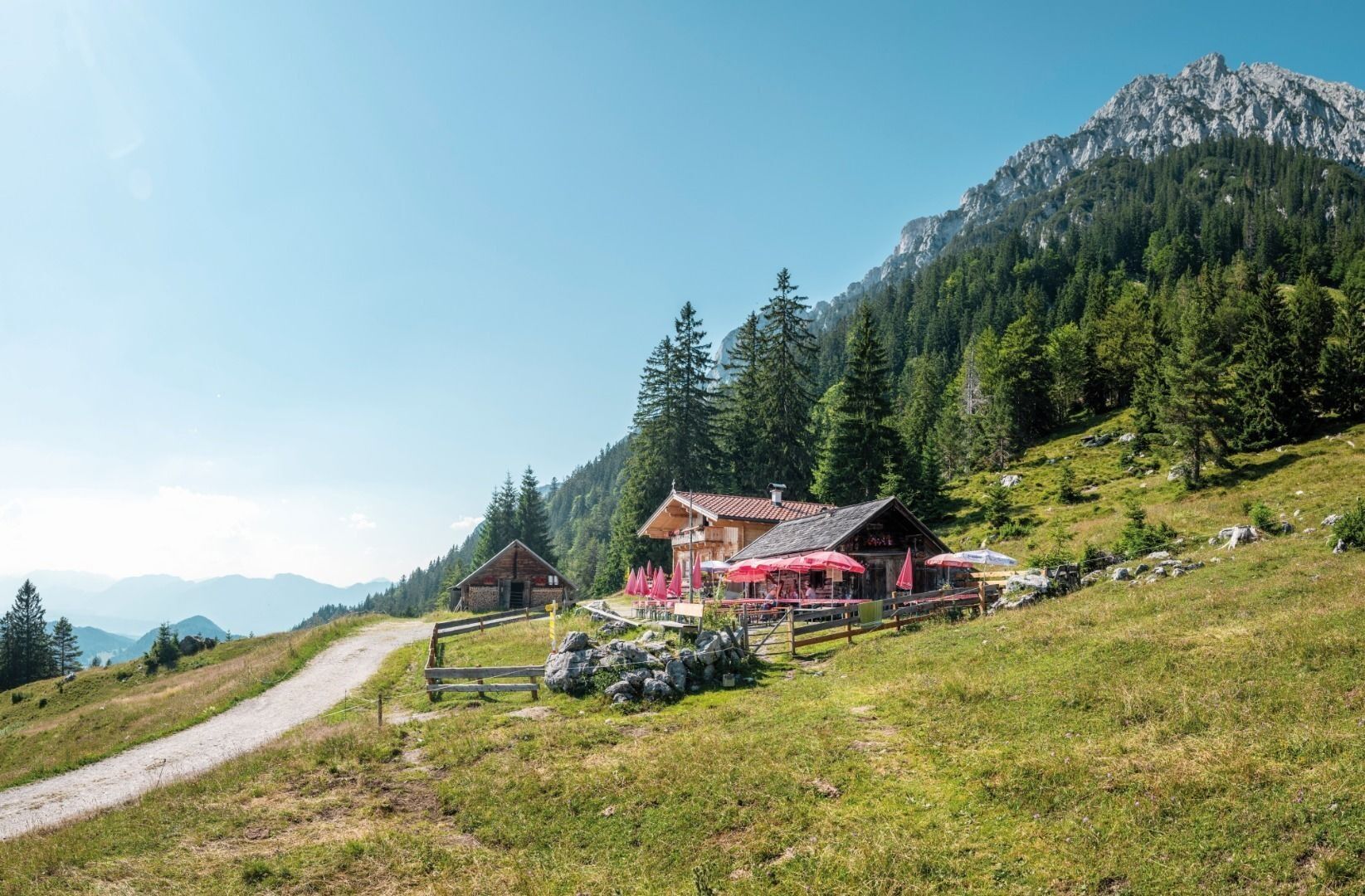
Hike along path 826 heading north (waterfall, Treffauer/Tuxeck, Sonneck) until you reach the waterfall. Enjoy a refreshing cool-down beneath the snow cirque before continuing on path 826 towards the west. After around 15 minutes, you will reach one of the most beautiful viewing points in the Wilder Kaiser region. From the foot of the Sonnenstein mountain, hike in a westerly direction along path 814 through mountain pine and steep Alpine meadows and go past the access point to the Scheffauer mountain. Heading through a field of scree, onward below the “Veitskirche” (rock formation) and via the "Hochofen", you will come to the Steiner-Hochalm mountain hut on path 814a heading south.
Requirements: surefootedness
Requirements: surefootedness
Wilder Kaiser hiking map (1:25.000) available at the Tourist information offices Ellmau, Going, Scheffau and Söll for € 6,90 - with Wilder Kaiser Guest Card for € 6, -.
Additions for overnight stay at mountain hut:
Mountain hut sleeping bag, indoor shoes, toiletries and towel, personal medication, headlamp, Alpine Club ID Card, cash, charger for mobile phone
The hiking routes between the huts are often rather long, we recommend taking plenty of food and drink and booking your overnight stays well in advance.
Requirements: surefootedness
Priljubljeni izleti v okolici
- 4,7
Kirchdorf: Zur geheimnisvollen Teufelsgasse
srednjaPohodništvo 7,90 km - 4,7
Musikantensteig zur Naunspitze
srednjaPohodništvo 8,96 km - 4,6
St. Johann in Tirol: Wasserfall & 3 Seen am Kitzbüheler Horn
srednjaPohodništvo 12,7 km - 4,5
Über Hintersteinersee und Walleralm aufs Hochegg
svetlobaPohodništvo 12,2 km - 4,5
Wanderung um den Hintersteinersee
svetlobaPohodništvo 5,29 km - 4,6
Hintersteinersee
srednjaPohodništvo 9,87 km - 5,0
Stripsenjoch Klettersteige/ Rundwanderung von Griesener Alm über Stripsenjochhaus und Feldberg
srednjaVia ferrata 10,2 km - 4,2
Bergdoktor Wohnhaus "Gruberhof" (Köpfing Hof) Rundeweg-Söll
svetlobaPohodništvo 8,70 km - 5,0
Kirchdorf: Stripsenjoch Klettersteige
težkoVia ferrata 3,76 km - 4,5
Pyramidenspitze, Vordere Kesselschneid
težkoPohodništvo 12,8 km
Pohodništvo in sledenje


Ne zamudite ponudb in navdiha za naslednje počitnice
Vaš e-poštni naslov je bil dodan na poštni seznam.