


Ötztal Trek Stage 12
Stopnja težavnosti: T5

Route: trail
Requirements: basic surefootedness
Mountain trail red
Difficulty: no particular difficulties
Equipment: normal hiking equipment
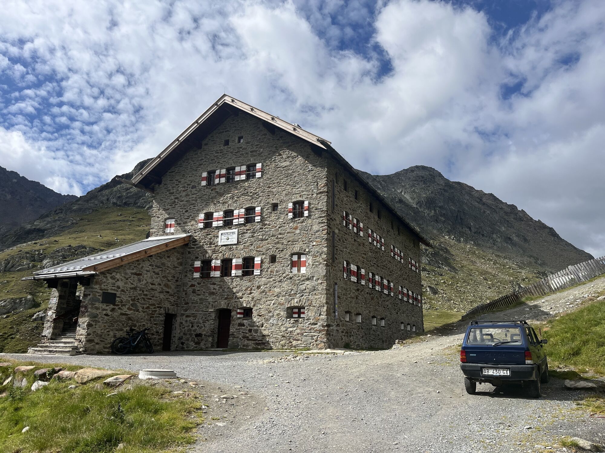
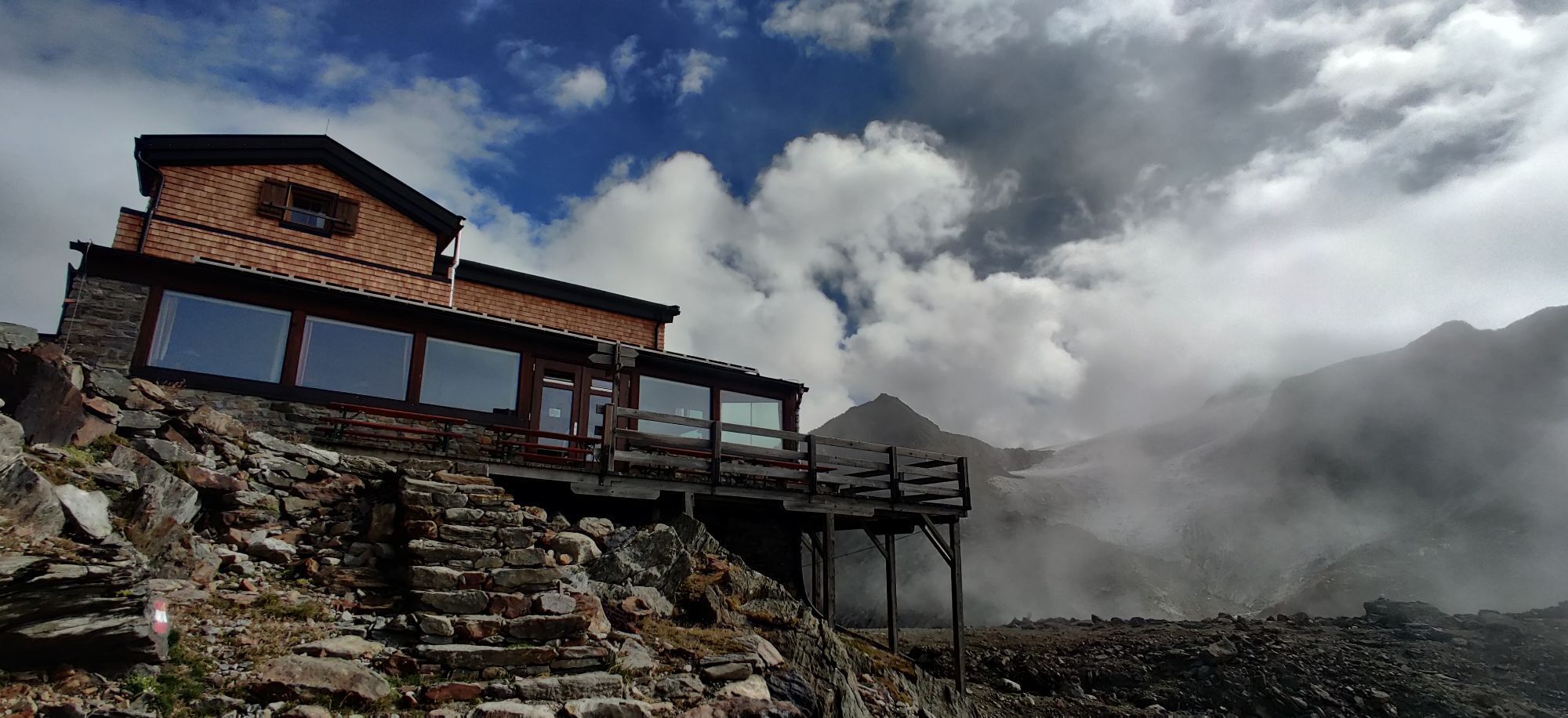
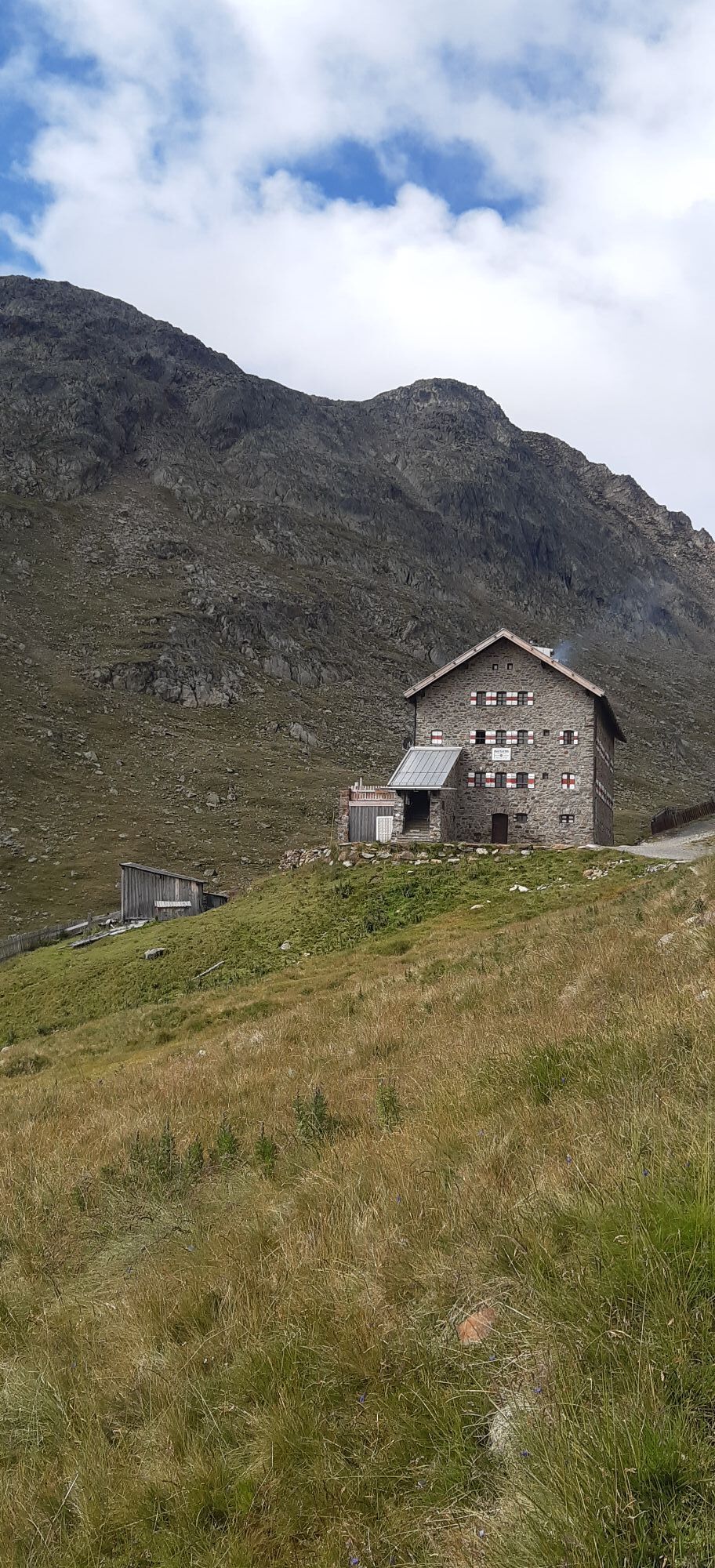
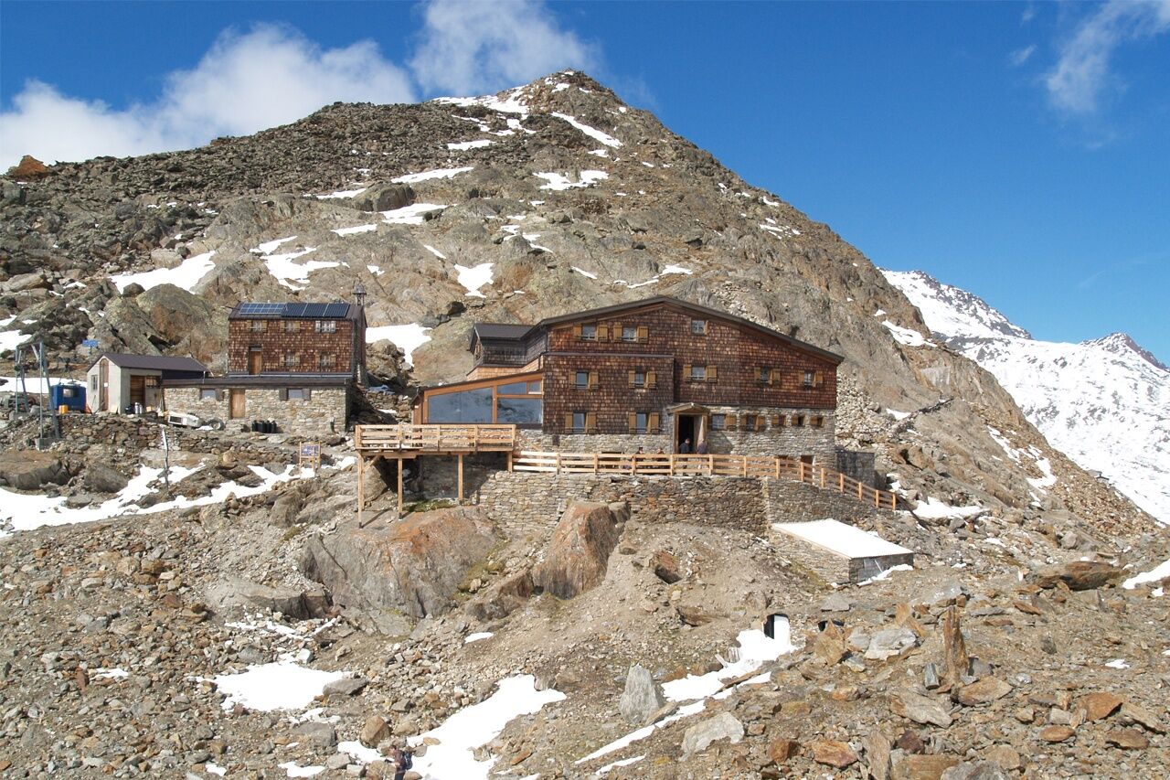
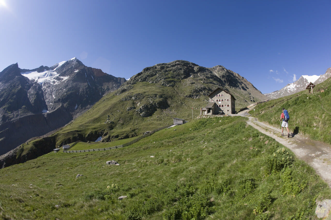
Overnight stays, food stops: Martin-Busch Hut, Similaun Hut


A DETOUR TO SOUTH TYROL
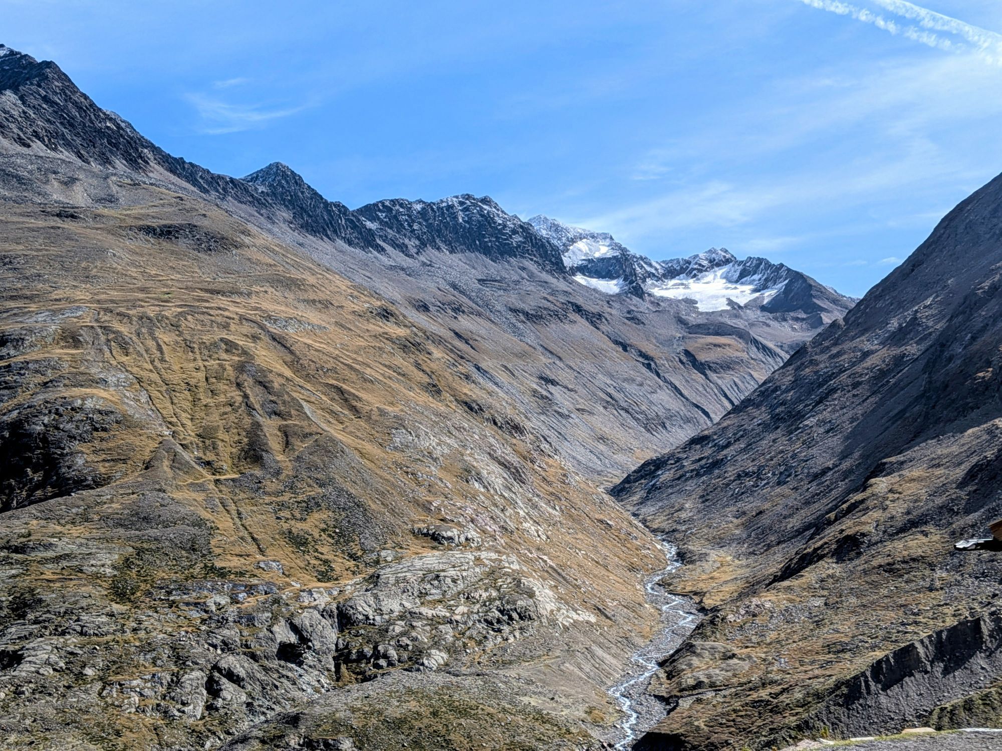
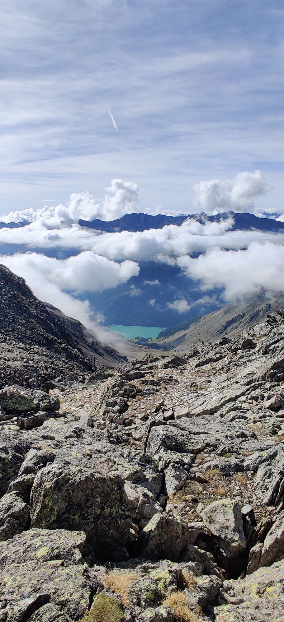
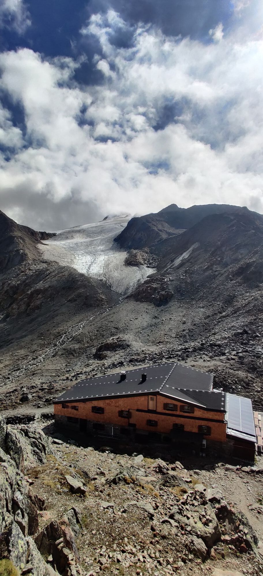
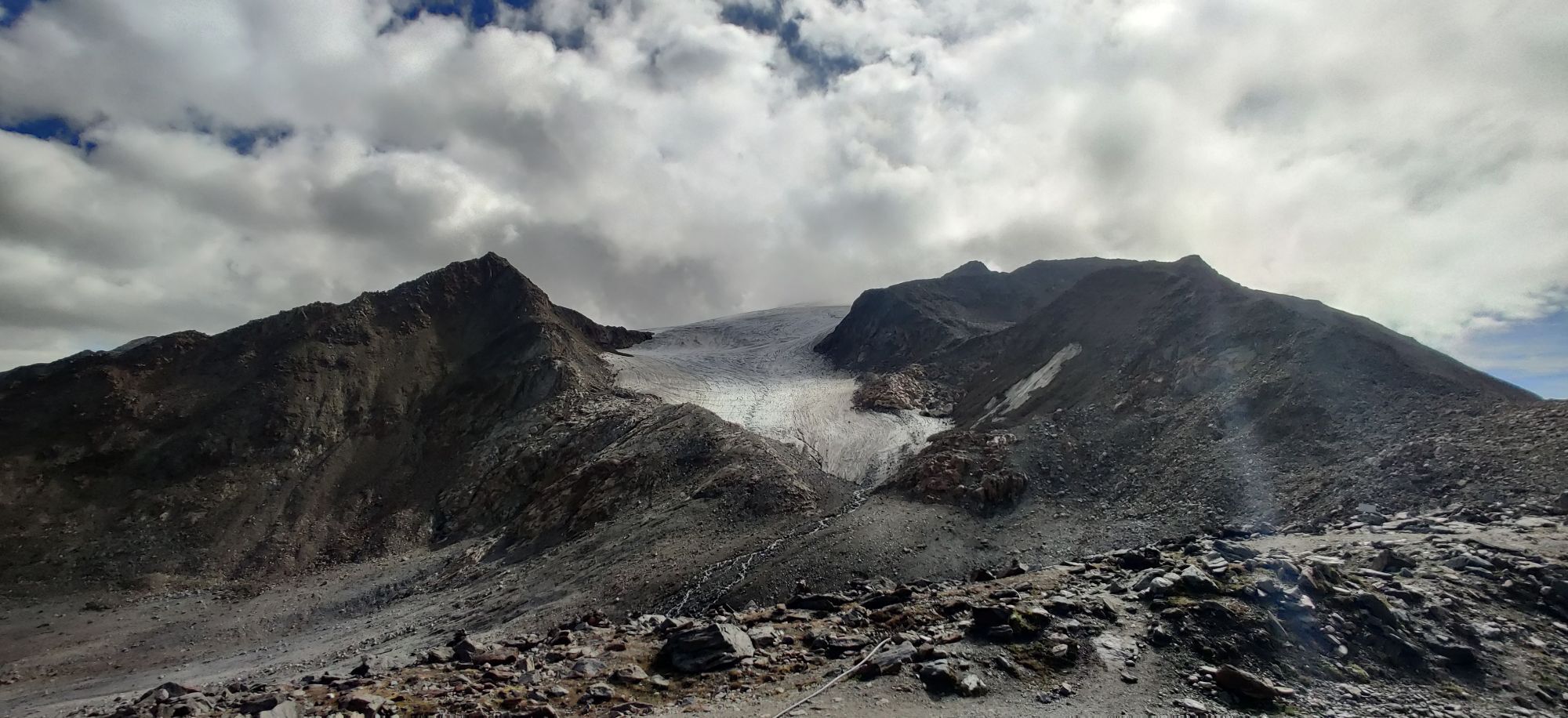
The Similaun Hut is located at 3,017 meters elevation on the South Tyrolean side at Niederjoch, a pass between the North Tyrolean Ötztal and the South Tyrolean Schnalstal. Inseparably connected to the refuge is the famous Similaun and the discovery site of the Iceman Ötzi about 1.5 hours away at Tisenjoch. The route to the Similaun Hut runs inward through the Nieder valley.
From the Martin-Busch Hut, follow the signposts towards the Similaun Hut. Shortly before Saybach, turn left along the Nieder valley stream to the Niederjochferner glacier. A marked route then leads to the Similaun Hut.
Da
Appropriate equipment such as breathable and weather-appropriate outdoor clothing is required for all hikes and routes. Carrying a first aid kit, a mobile phone, and possibly a hiking map, as well as sufficient provisions for hikes without food stops, is necessary.
Suitable for people free from fear of heights, surefooted and with alpine experience; very good physical condition, alpine experience and mountain equipment (see under equipment), sometimes alpine safety equipment, good weather conditions recommended. Please observe the current weather report.
Driving into the ÖTZTAL. Located in Tyrol, the Ötztal branches off to the south as the longest side valley of the Eastern Alps. Traveling by car takes visitors over the Inn Valley to the valley entrance and then along the Ötztal. In addition to the toll motorway, country roads can also be used. The route planner can quickly and conveniently determine your route: To the route planner: https://www.google.at/maps
Travel comfortably and safely by train to the Ötztal train station. The final stop or exit point is the ÖTZTAL station. Afterwards, you can conveniently and quickly travel through the entire valley with public bus services or local taxi companies to your desired destination.
The current bus timetable is available at: http://fahrplan.vvt.at
In Gurgl, the following parking options are available:
- Parking garage Dorfzentrum Obergurgl (right down in front of the church) | paid
- Parking garage town entrance – Festkoglbahn valley station | paid | no overnight parking
- Parking lot Hochgurglbahn valley station, free | no overnight parking
T5
Did you know that…
...sheep are driven from the Schnalstal past the Similaun Hut into the Ötztal?
More info about hiking in the Ötztal: www.oetztal.com/wandern
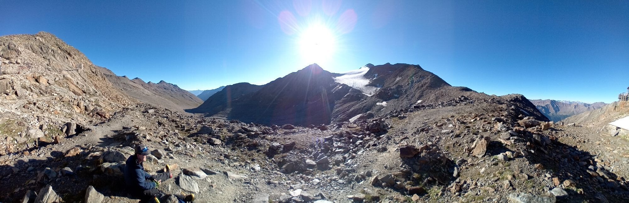
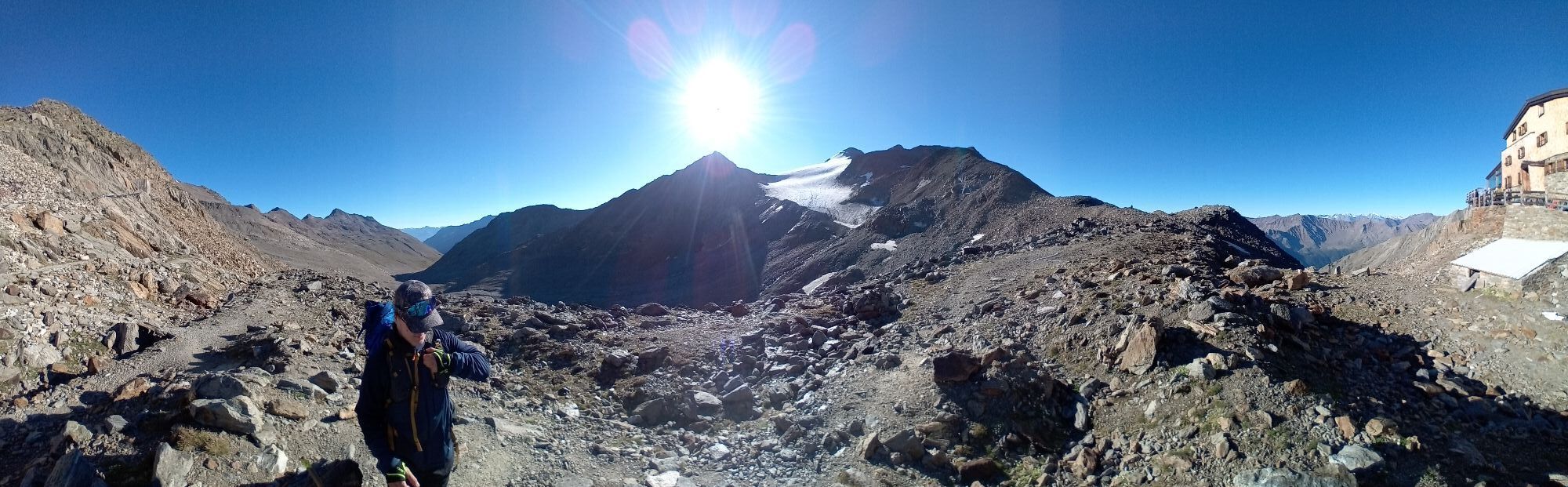
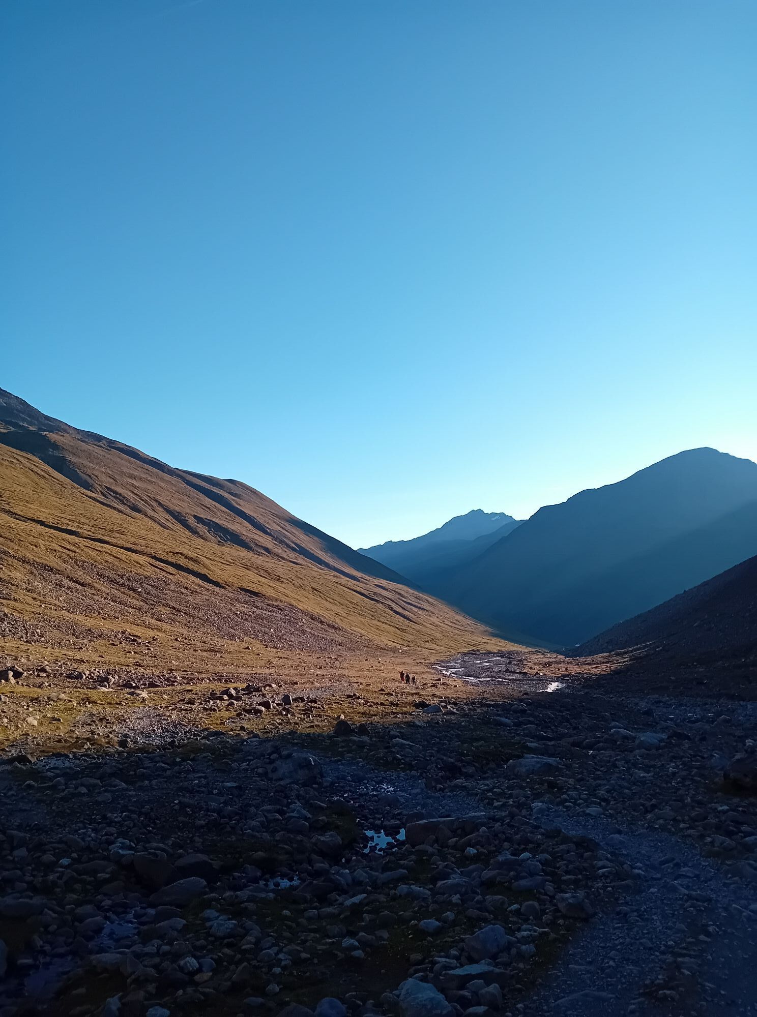
Stage 12 as a day route
From Vent (1,900 m) to Martin-Busch Hut (2,501 m) – Similaun Hut (3,017 m) – descent back to Vent (1,900 m)
DAILY TIP
Similaun Hut – Similaun (3,599 meters) – Similaun Hut
Similaun from the Similaun Hut; glacier tour, surefootedness, no fear of heights, high alpine experience required; roping on the glacier (crevasses) and on the ridge required; usually crampons and ice axe necessary!
Difficulty, walking time: difficult route over glacier (mountain guide recommended), approx. 4 hrs
Altitude difference: 580 m ascent and descent
Priljubljeni izleti v okolici
-
4.2
Vorderkaser - Eishof / Texelgruppe
svetlobaPohodništvo 4.83 km -
4.8
Vent - Kreuzspitze
Pohodništvo 20.6 km -
4.4
Hochtour Wildspitze, 3.768m
srednjaVisokogorska tura 9.75 km -
4.3
Rundweg Vernagter See plus Einkehr Finailhof
srednjaPohodništvo 8.73 km -
4.1
Vernagt-Stausee (Seerundgang)
svetlobaPohodništvo 6.70 km -
4.9
Pfossental - vom Vorderkaser auf die Stettinerhütte
srednjaPohodništvo 23.7 km -
3.1
Tiefenbachglacier - Mountaineering Village Vent
srednjaPohodništvo 10.8 km -
4.5
Vent - Wilder Mann - Breslauer Hütte - Stableinalm
srednjaPohodništvo 7.25 km -
5.0
Kurzras - Schöne Aussicht - ins hintere Eis
srednjaPohodništvo 13.0 km -
4.4
Hochwilde - Pfelders
srednjaVisokogorska tura 22.1 km

Pohodništvo in sledenje


Ne zamudite ponudb in navdiha za naslednje počitnice
Vaš e-poštni naslov je bil dodan na poštni seznam.