


European long-distance hiking trail E5 - variant - from the Braunschweiger Hut to Vernagt am See in the Schnalstal Valley
Stopnja težavnosti: T2


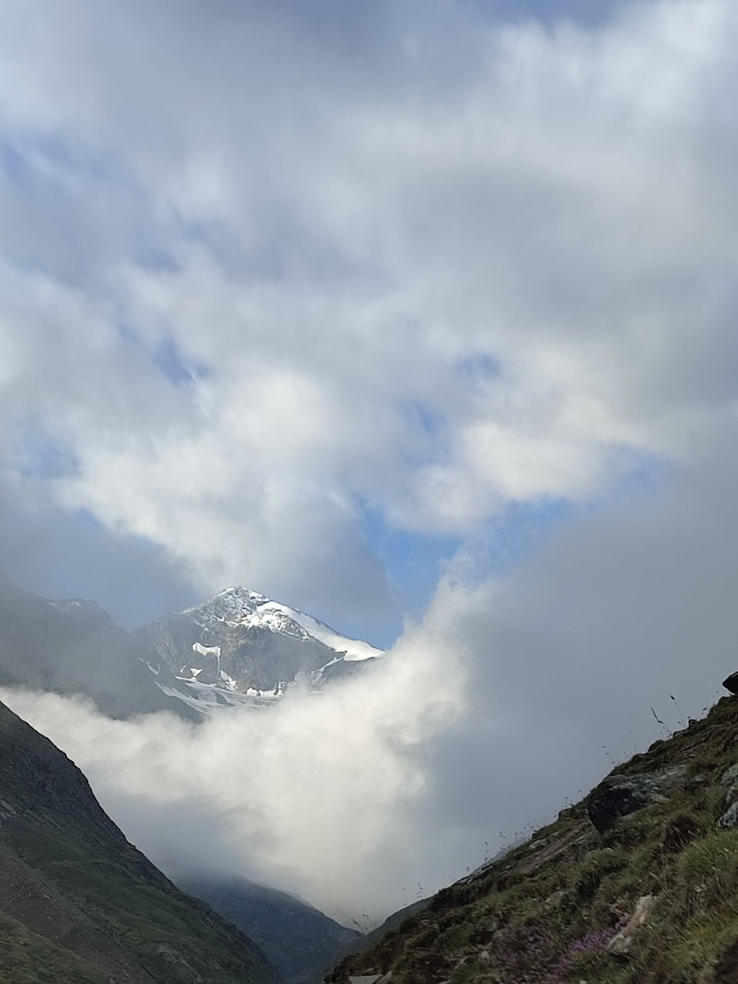
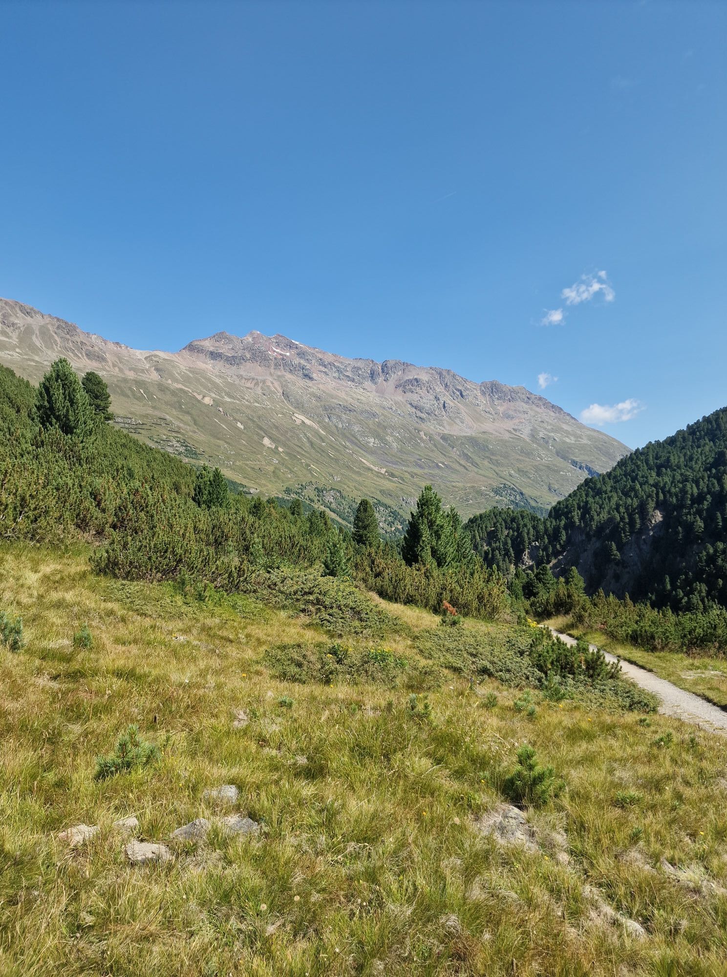
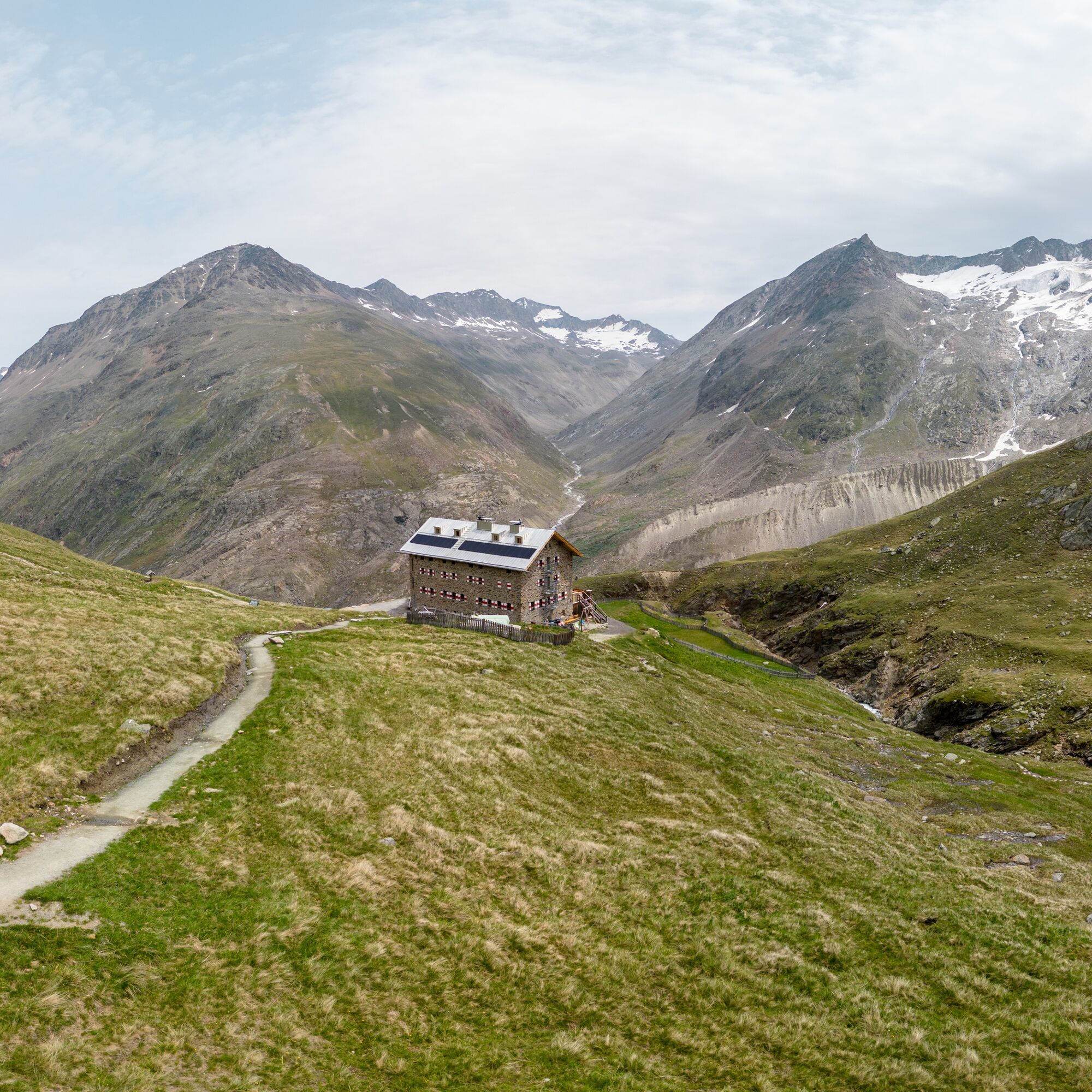
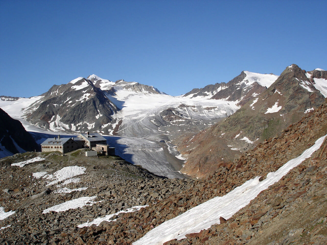
From the Braunschweigerhütte, hike up to Pitztaler Jöchl (2,990m) and over snow and ice to the Rettenbachferner in the Ötztal. The view of the surrounding glacier world and the 3,000-meter peaks is unique....
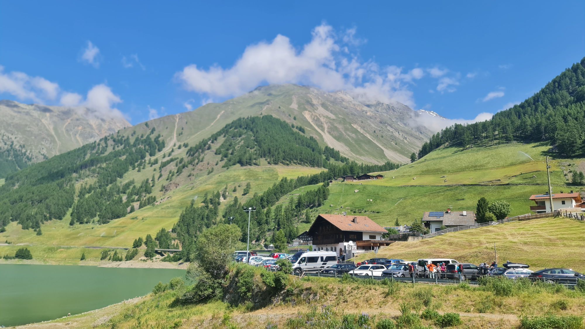
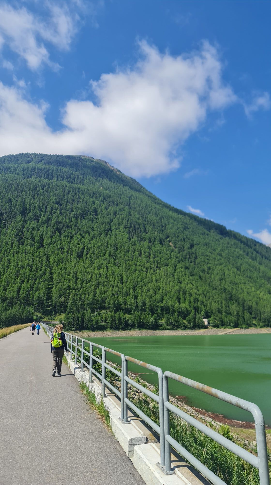
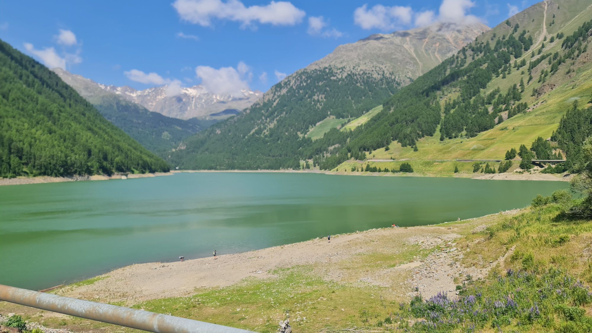
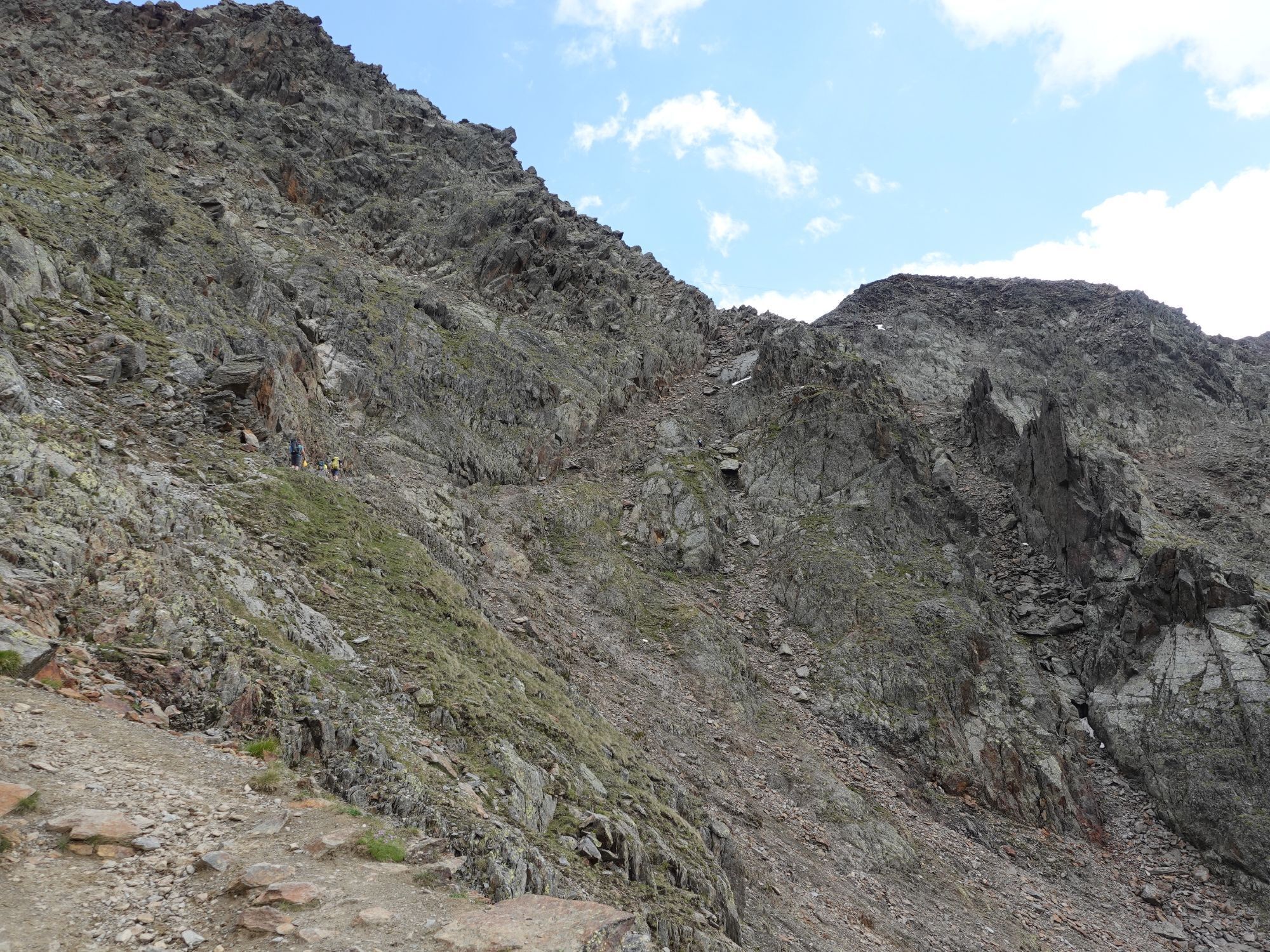
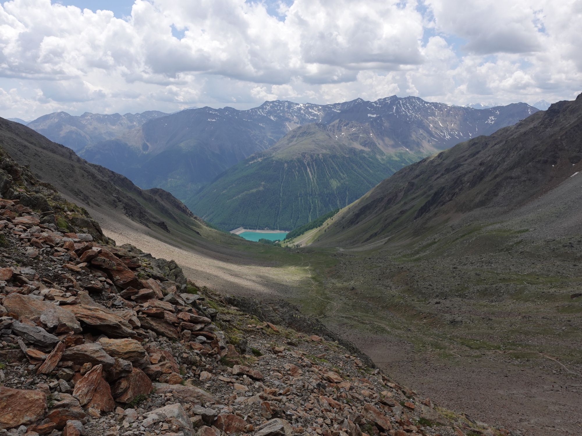
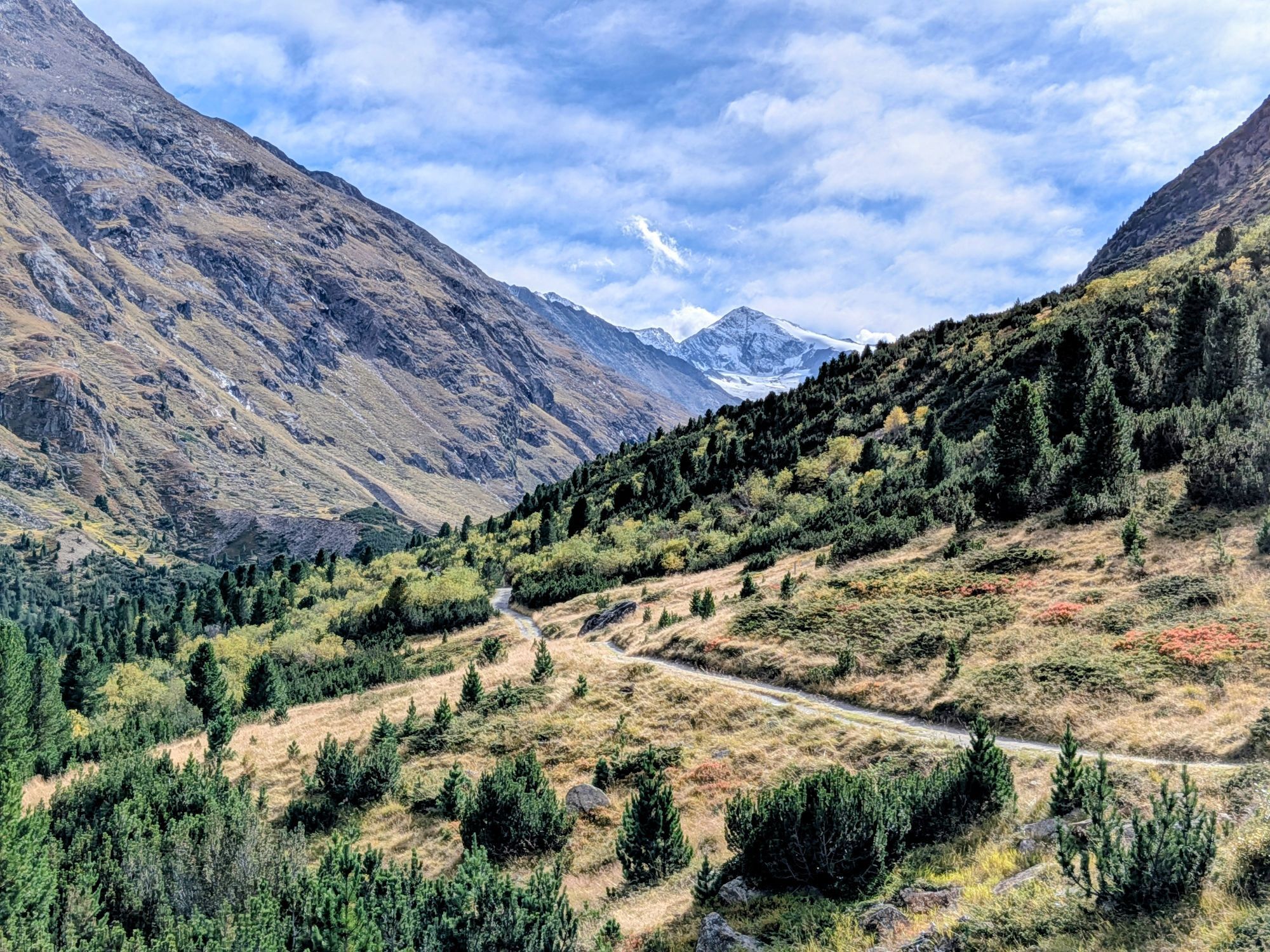
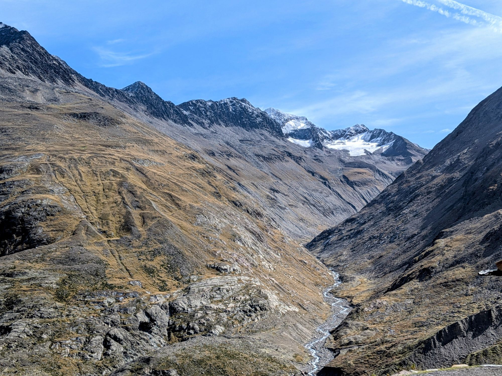
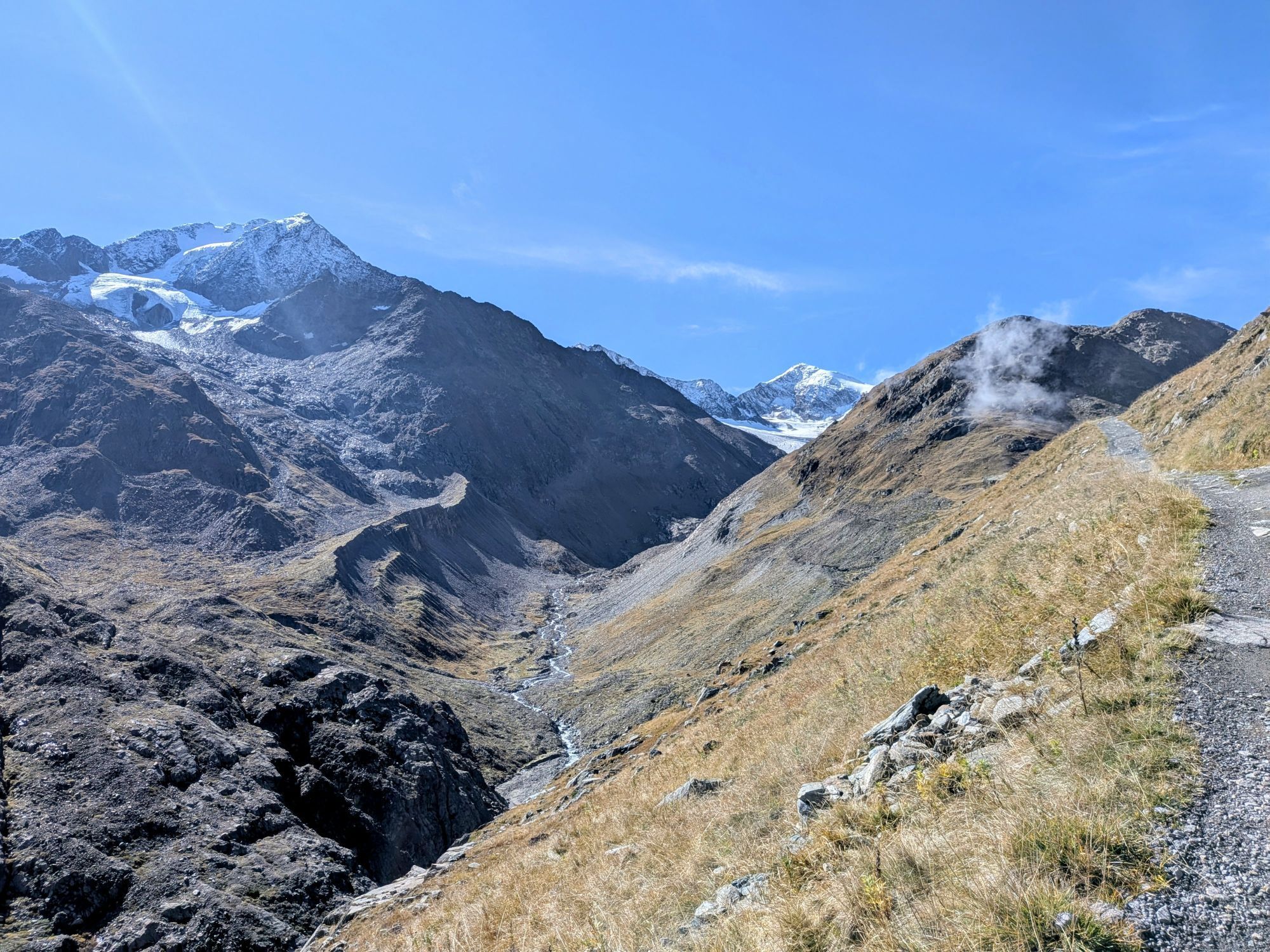
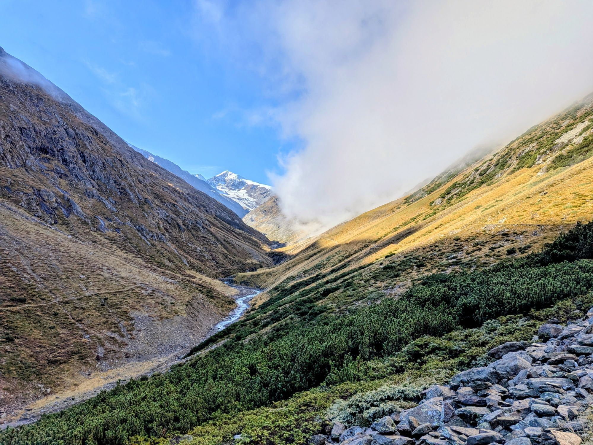
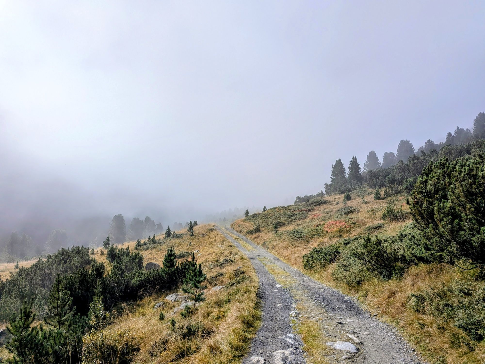
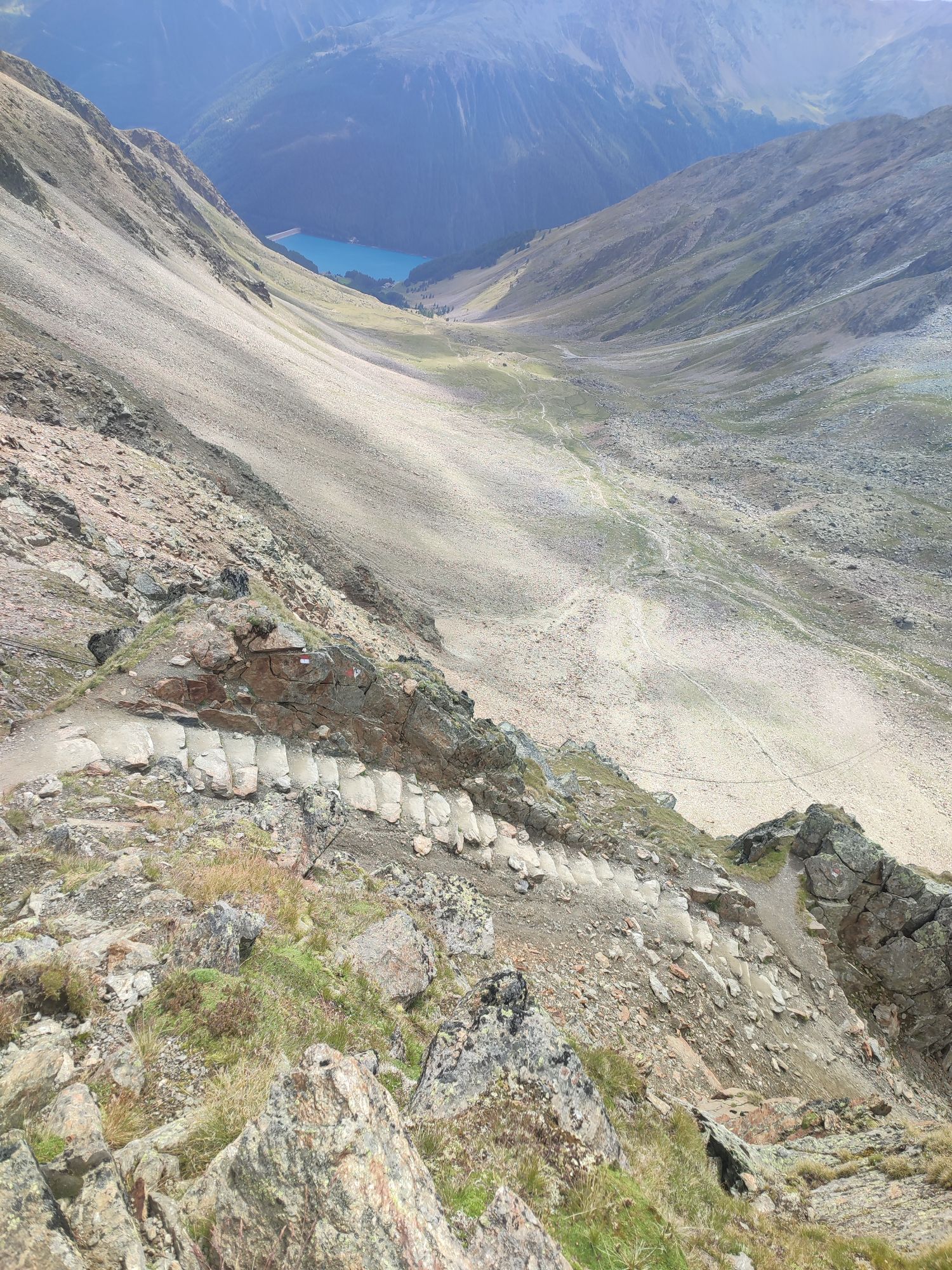
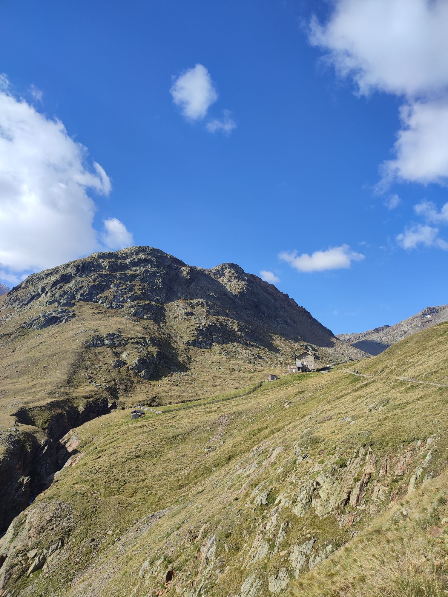
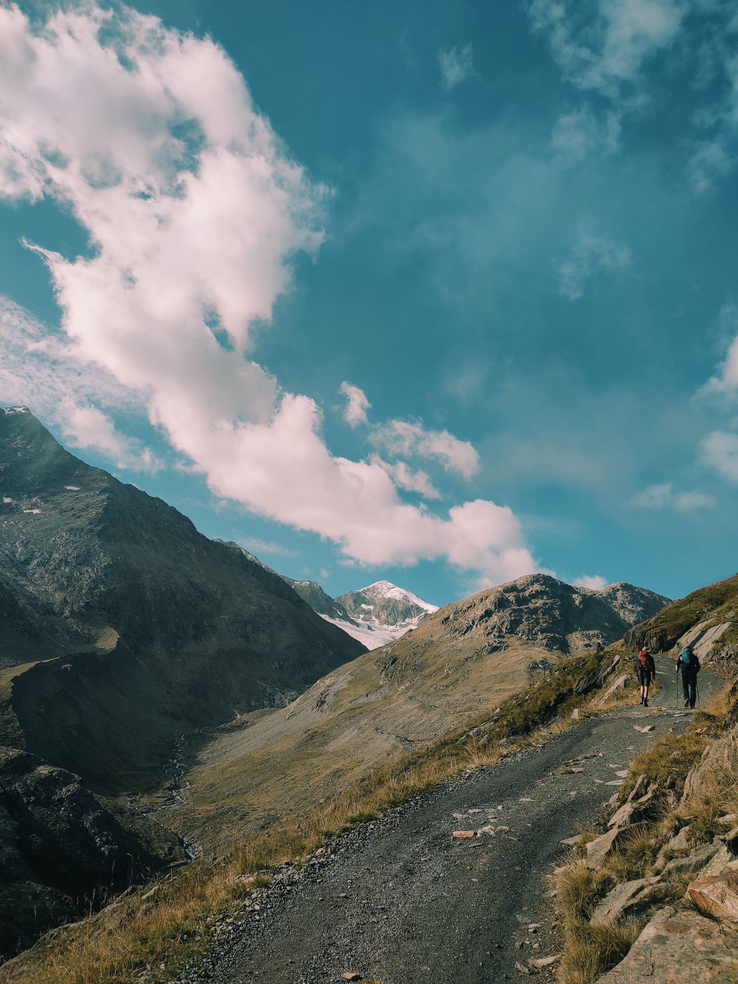
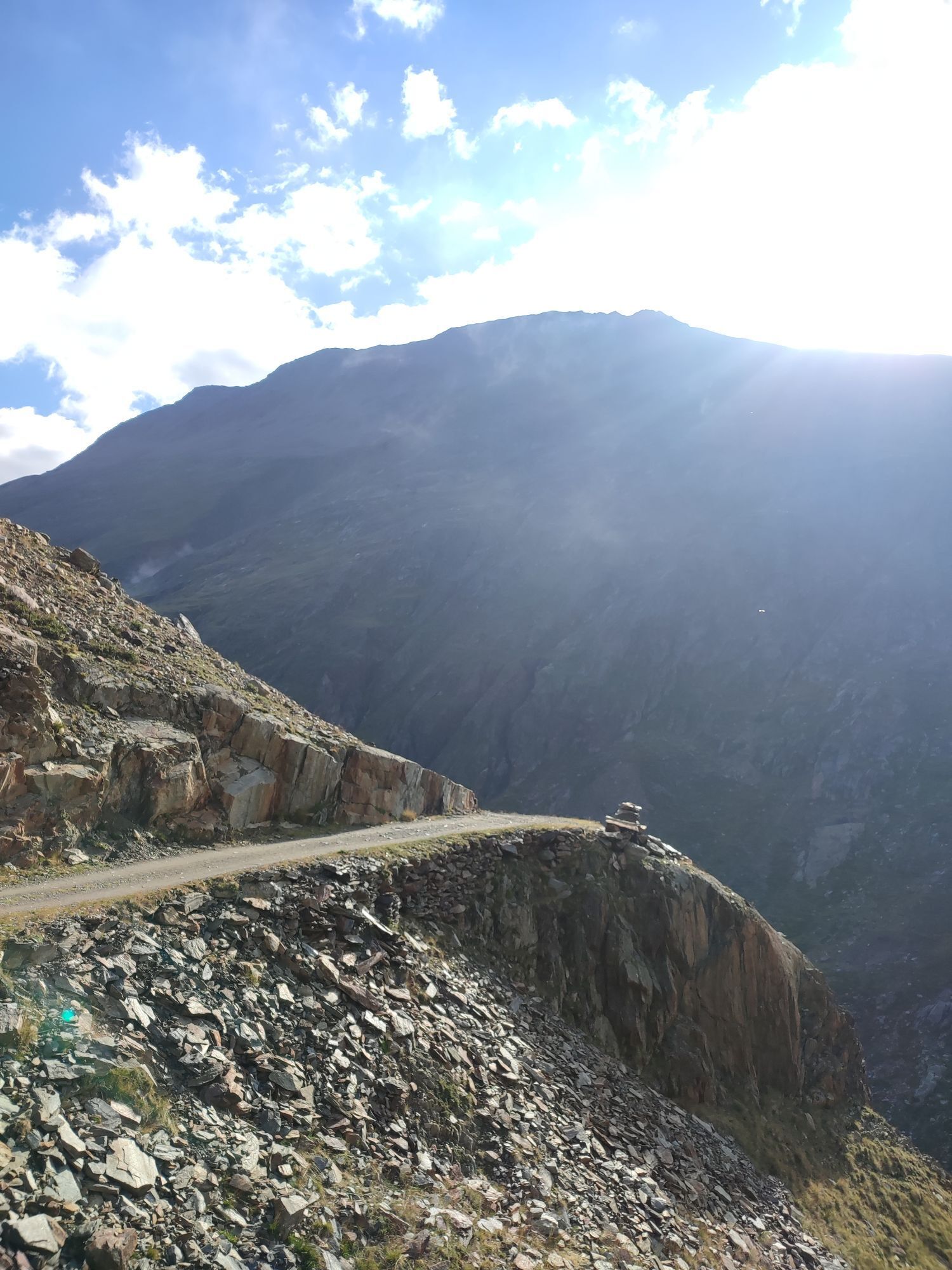
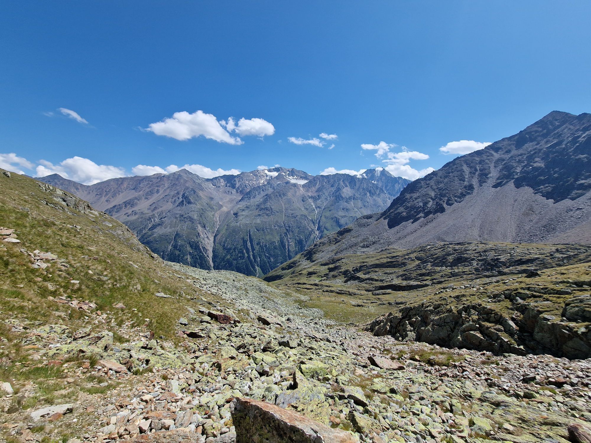
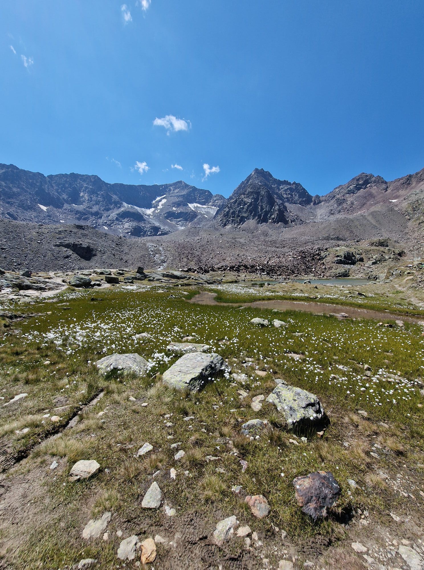
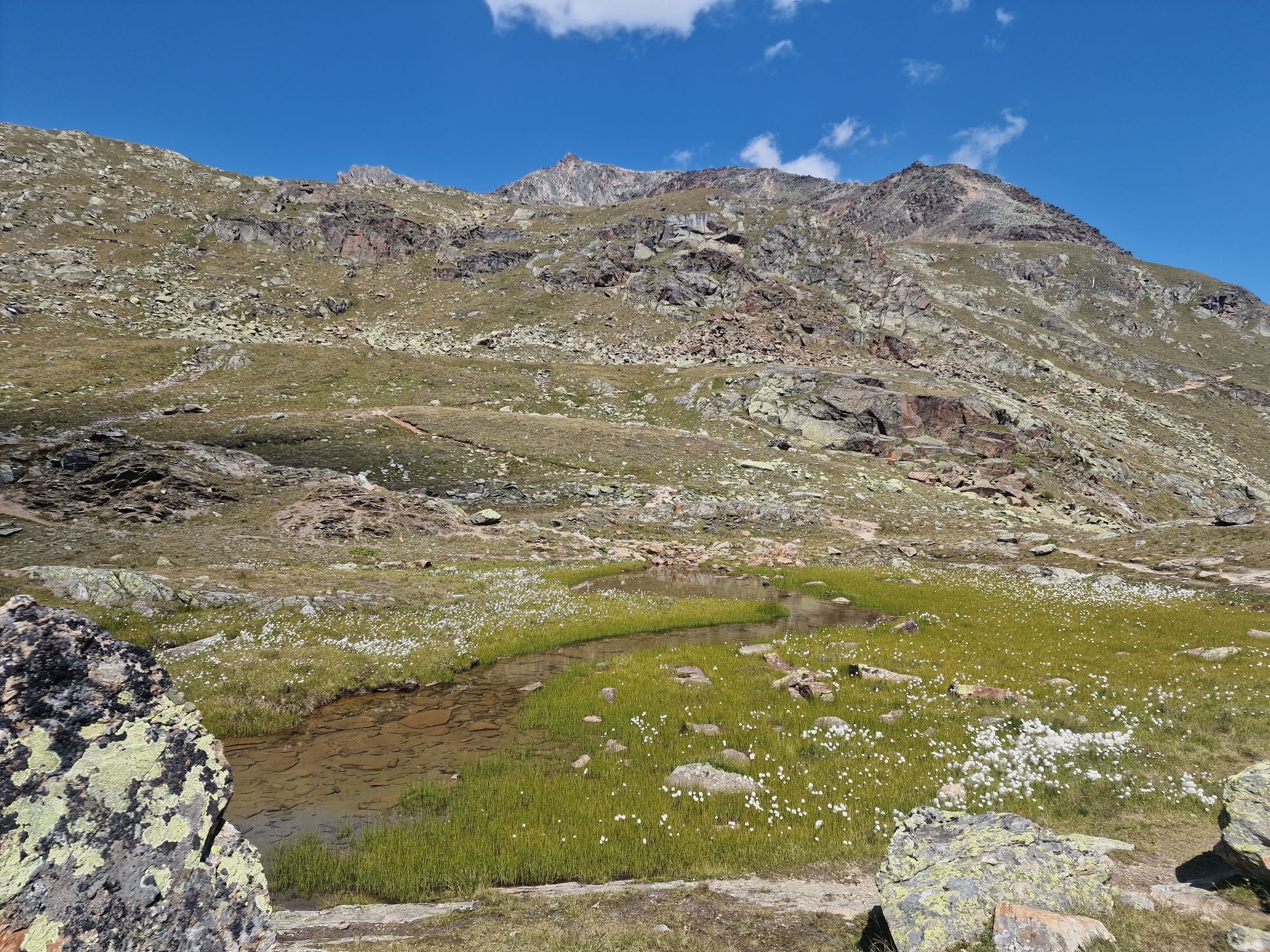
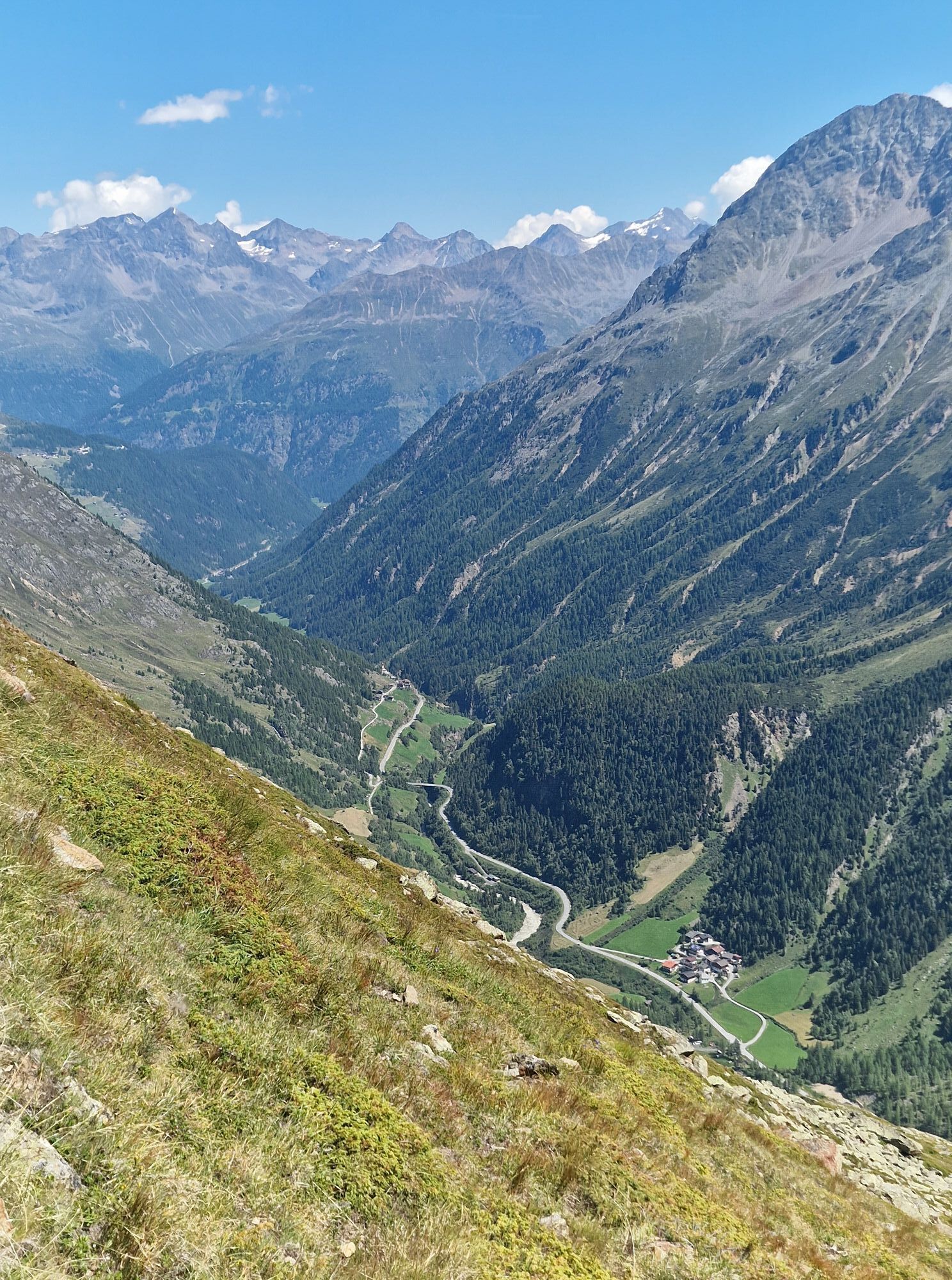
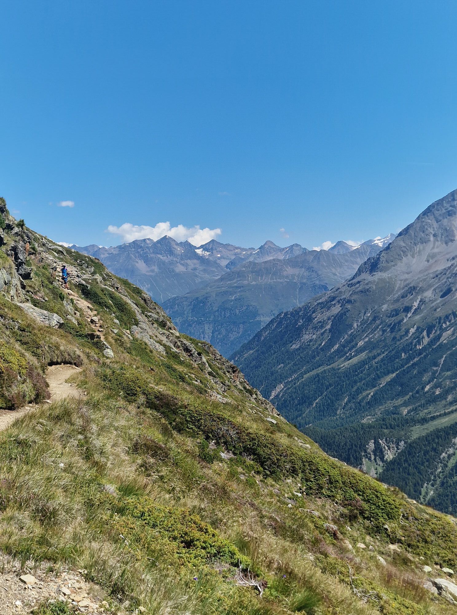
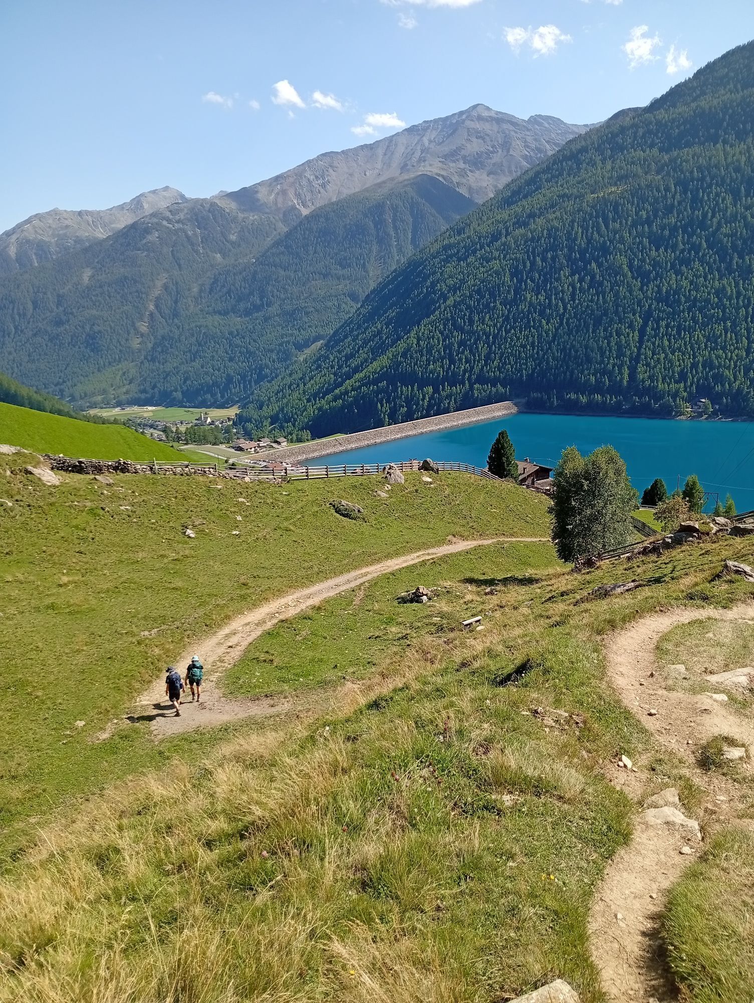
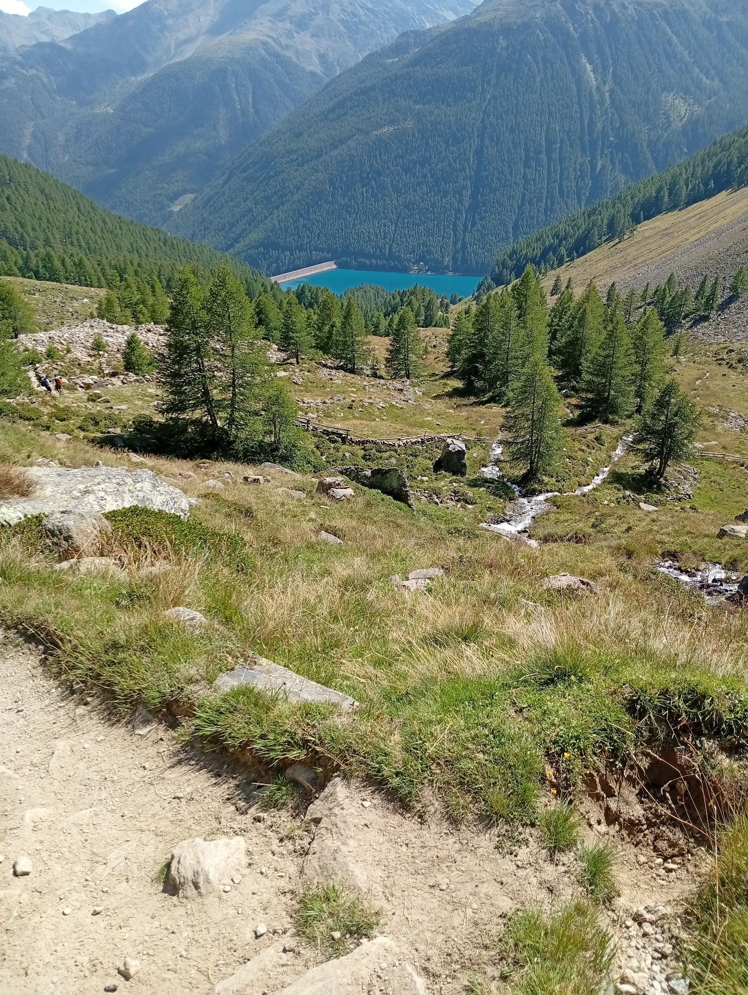
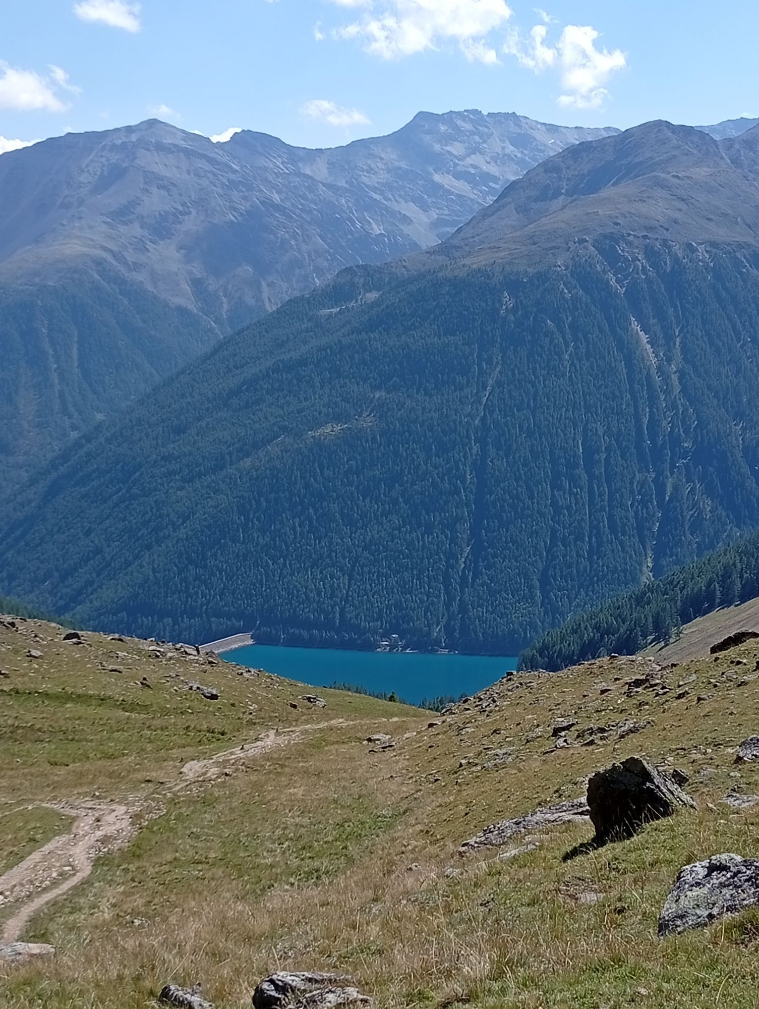
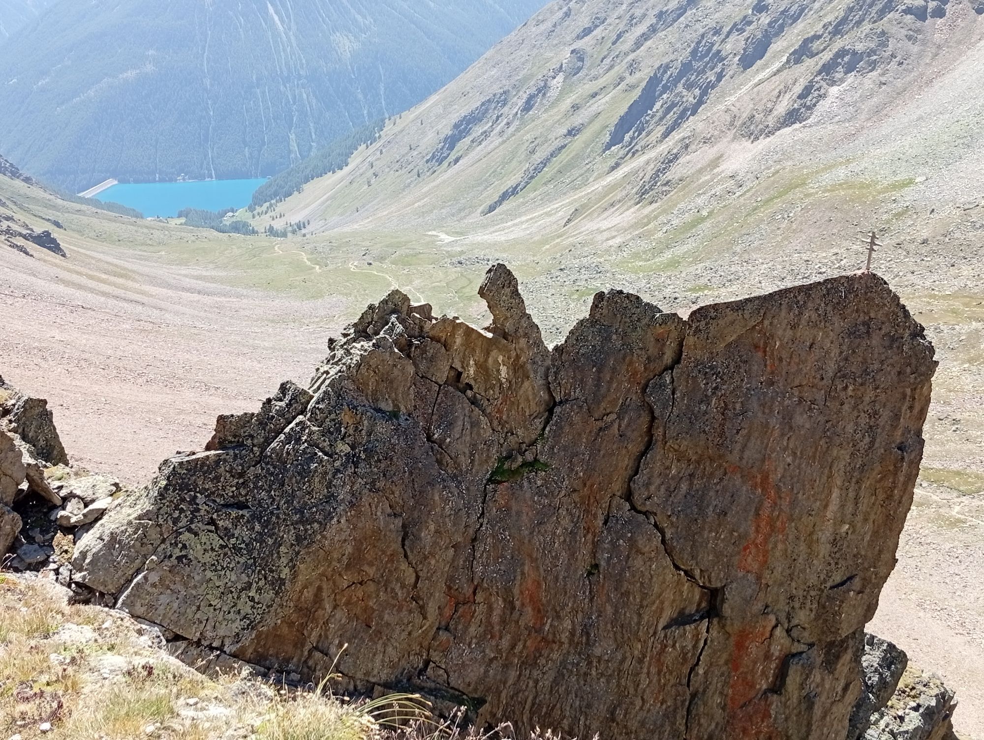
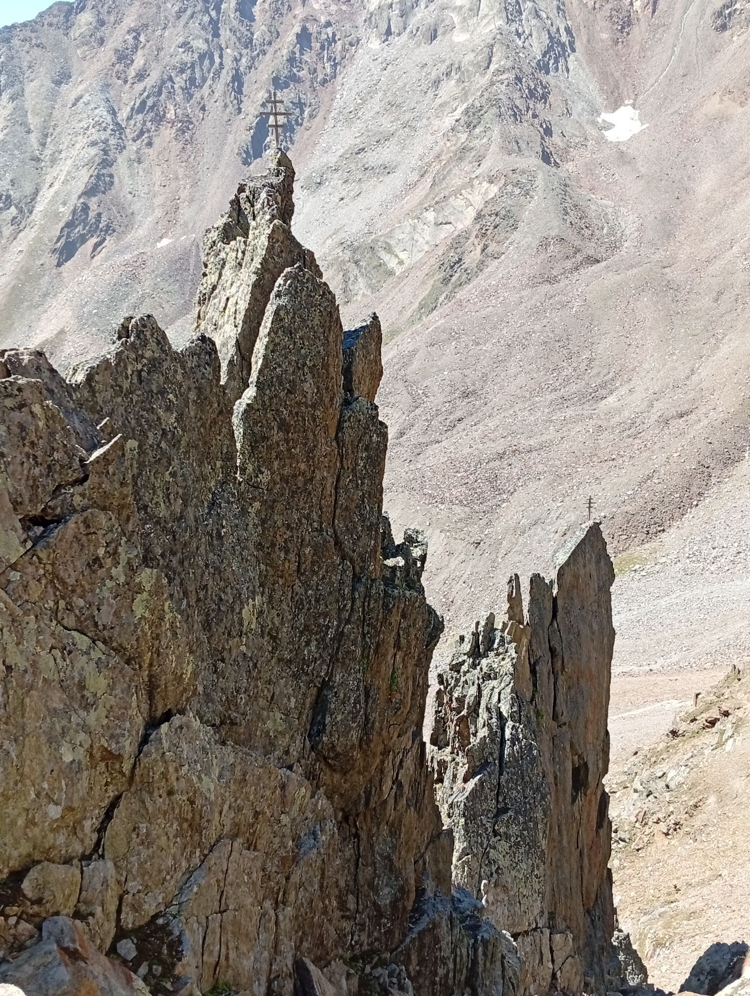
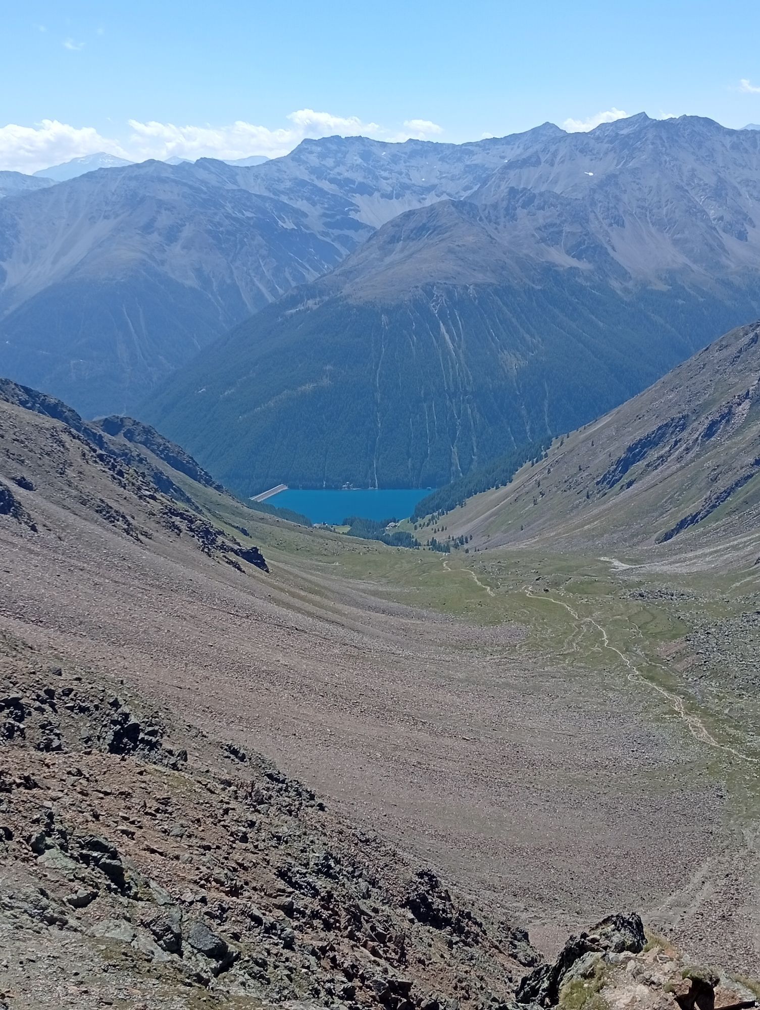
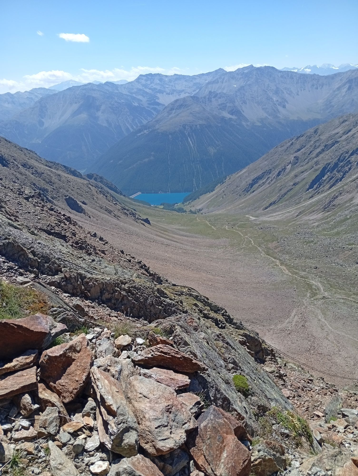
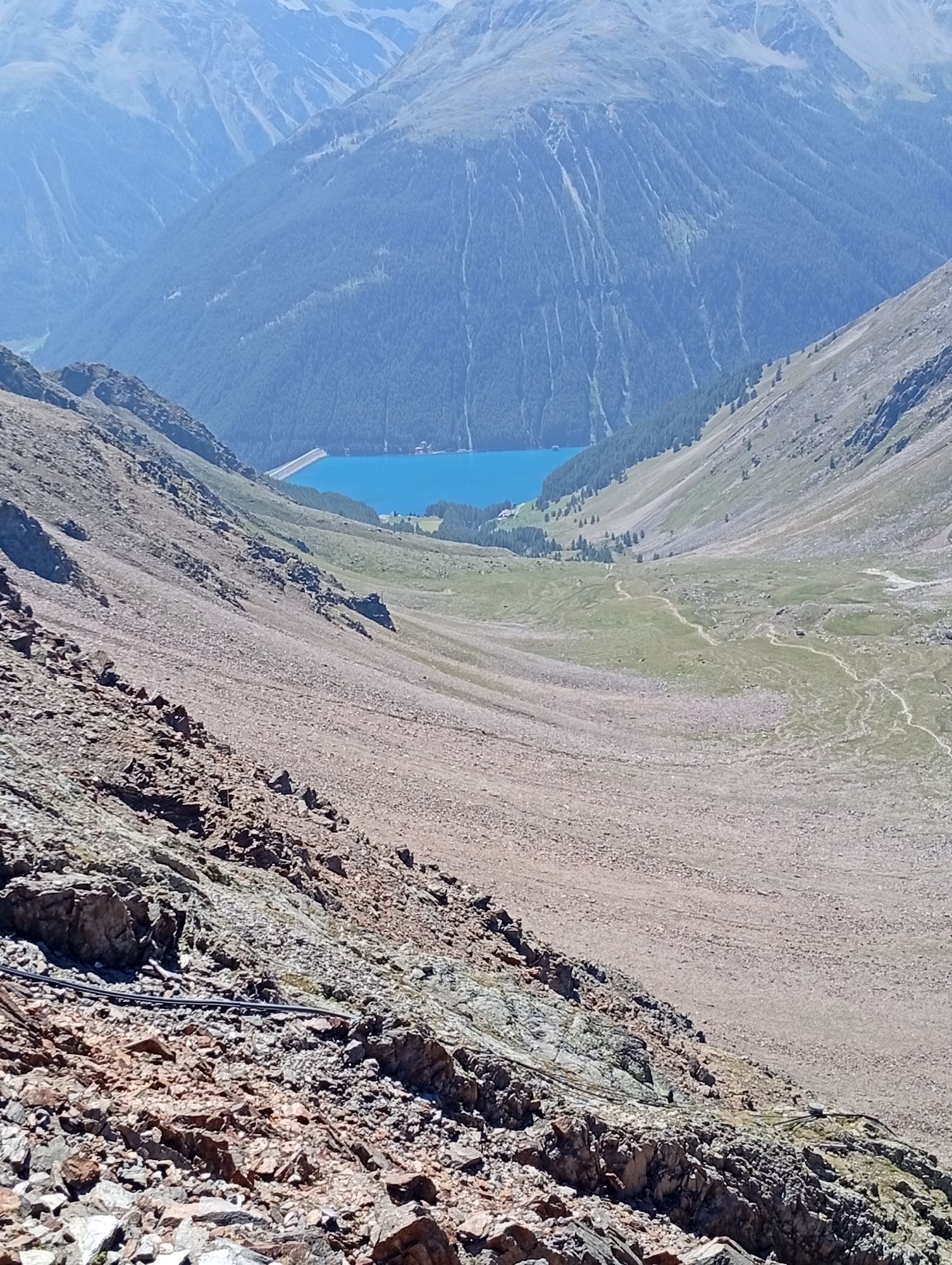
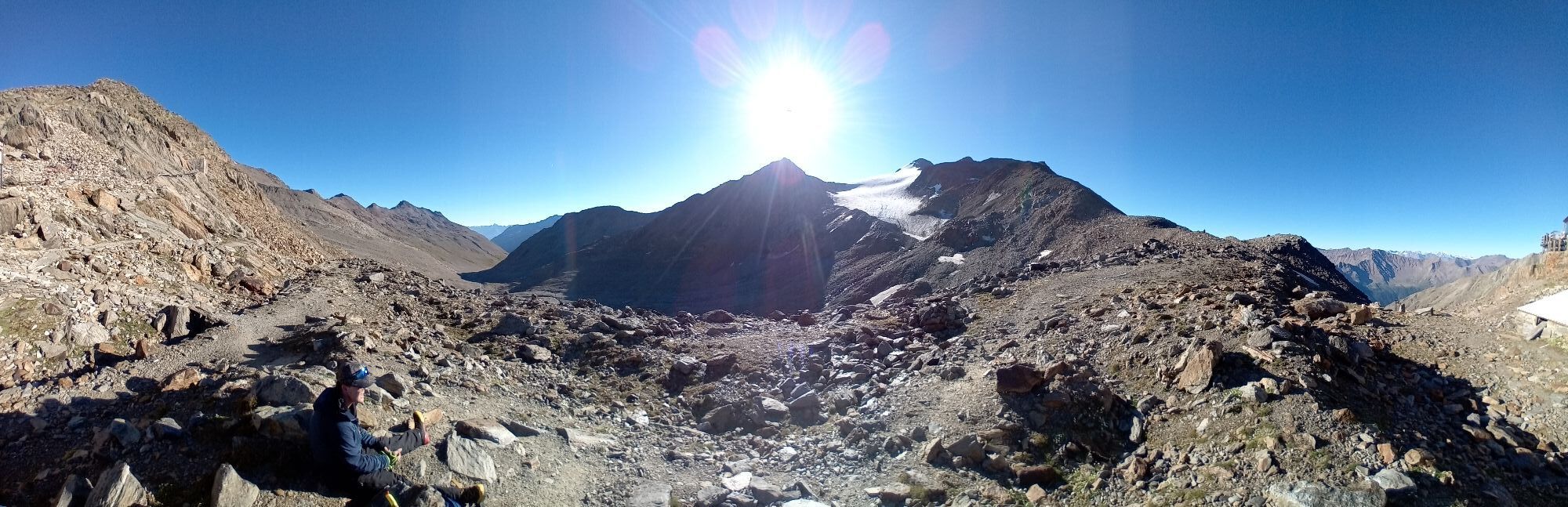
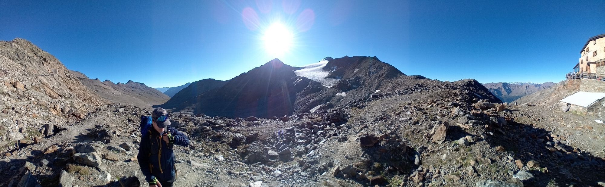
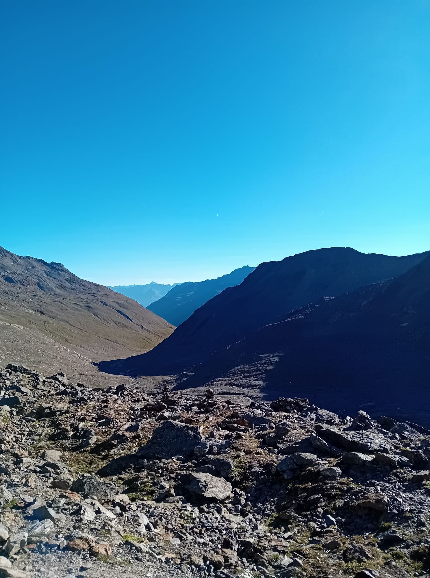
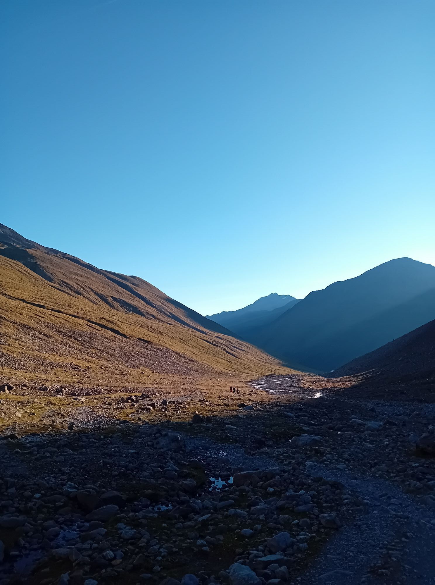
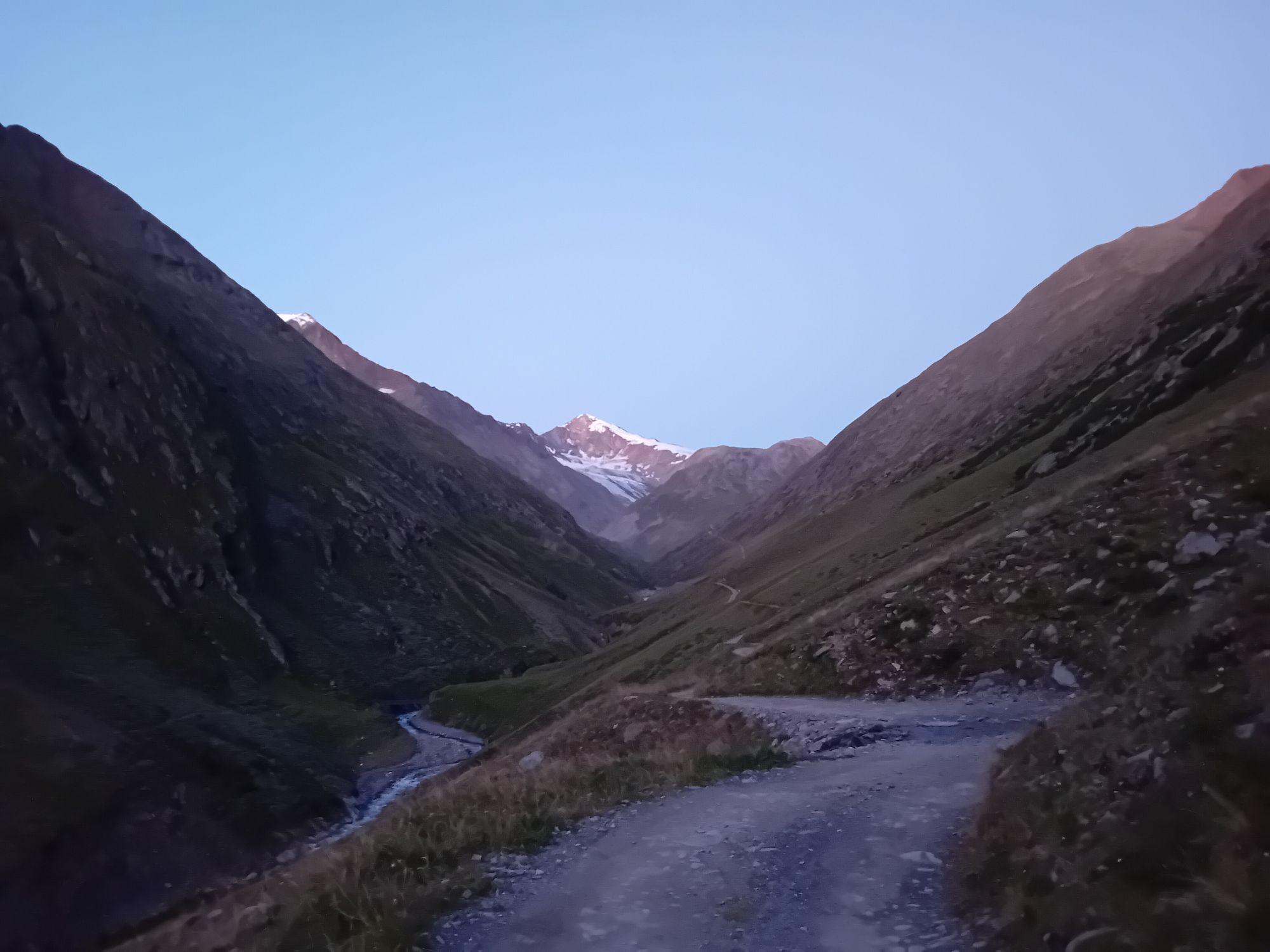
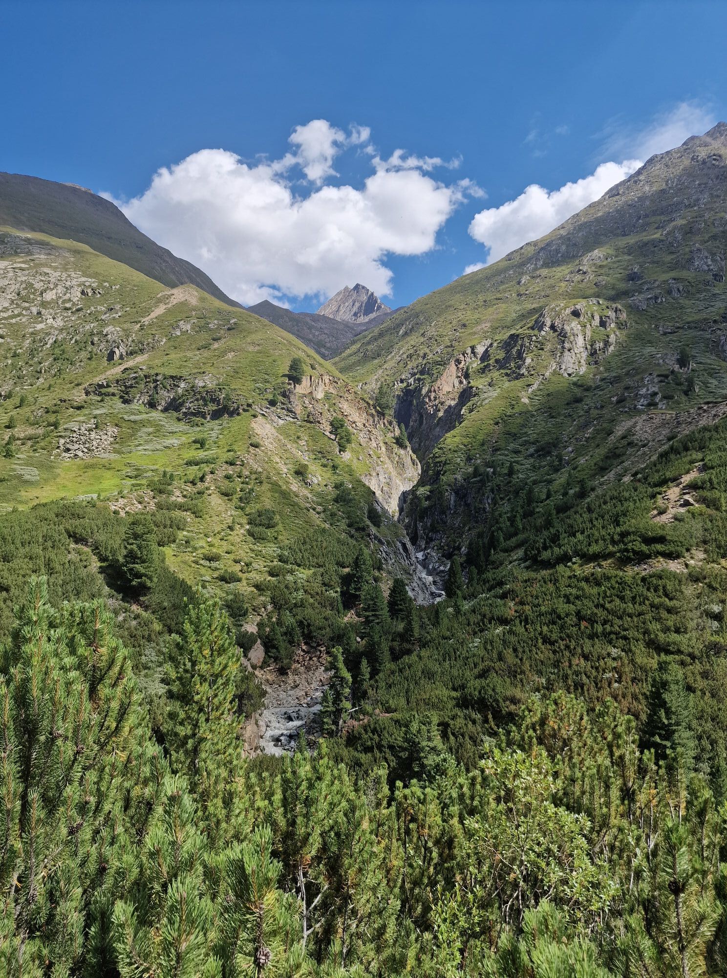
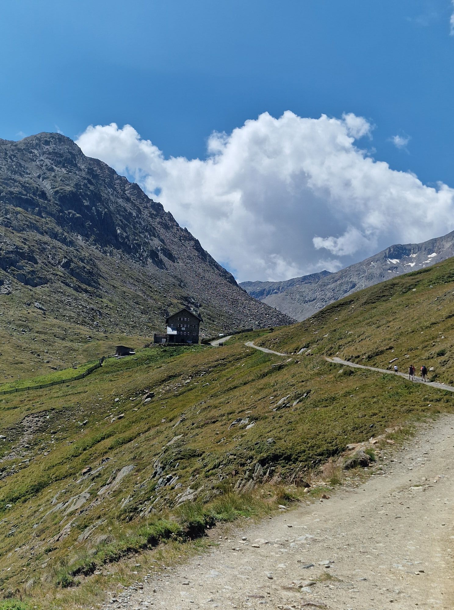
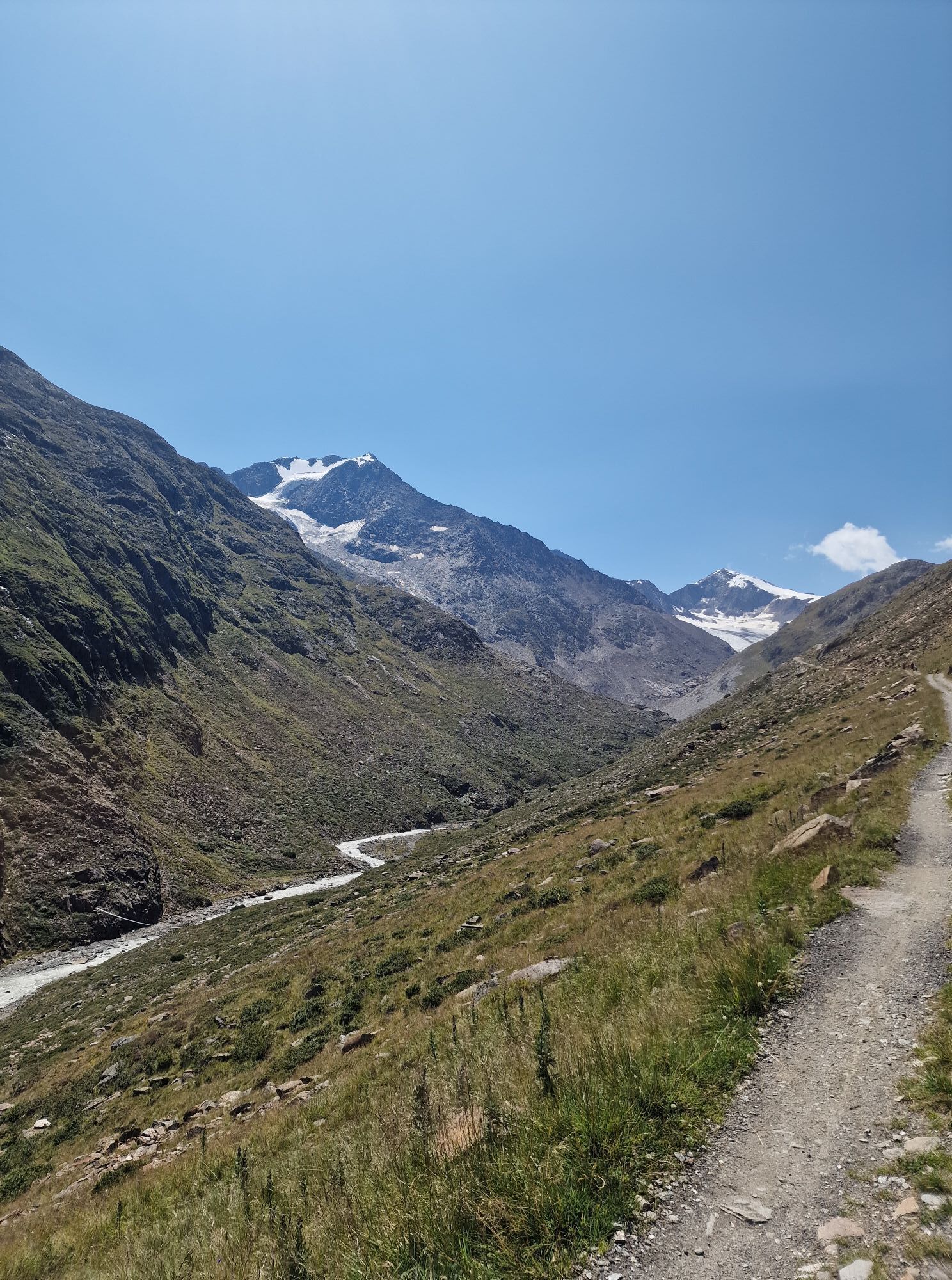
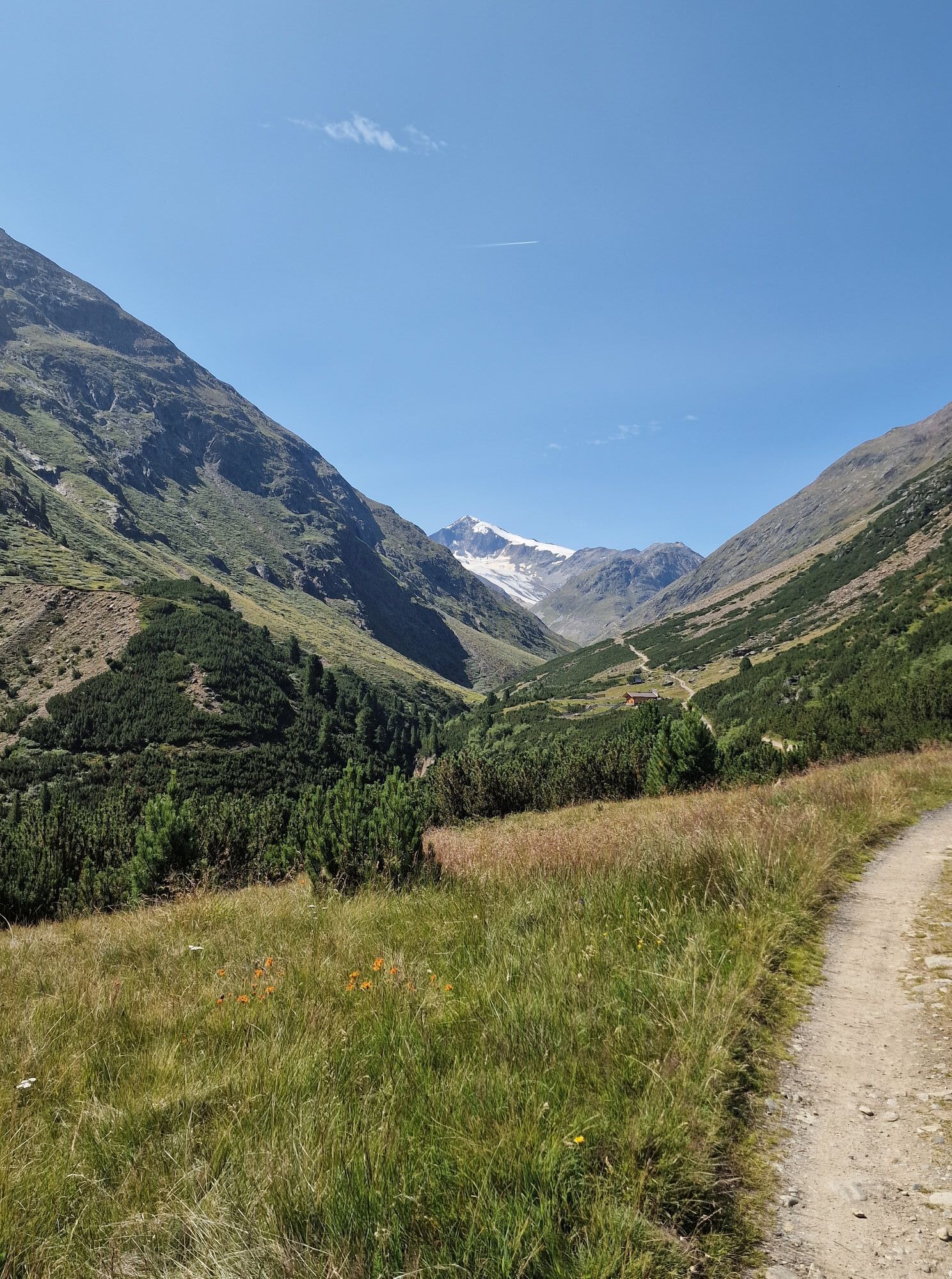
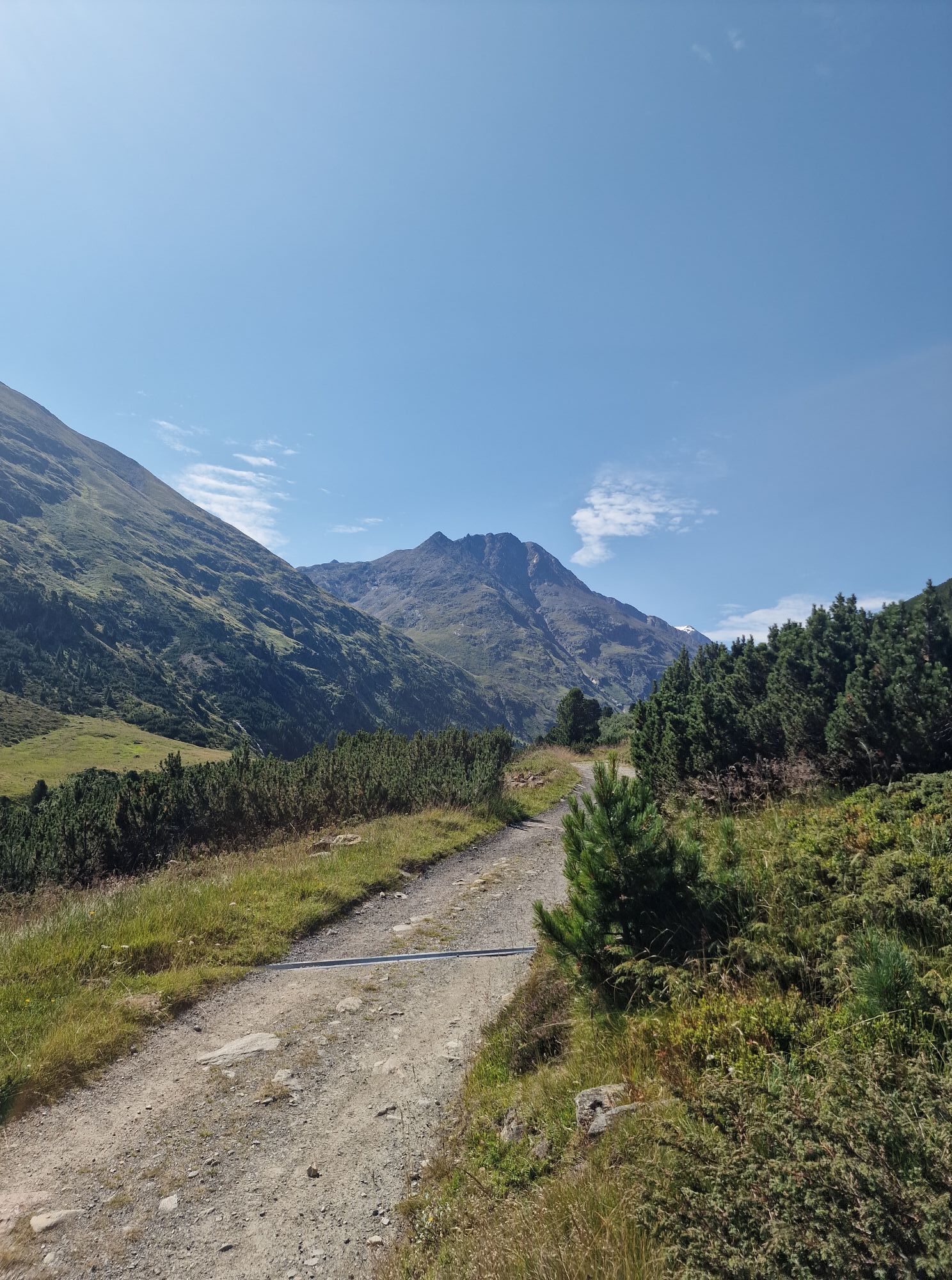
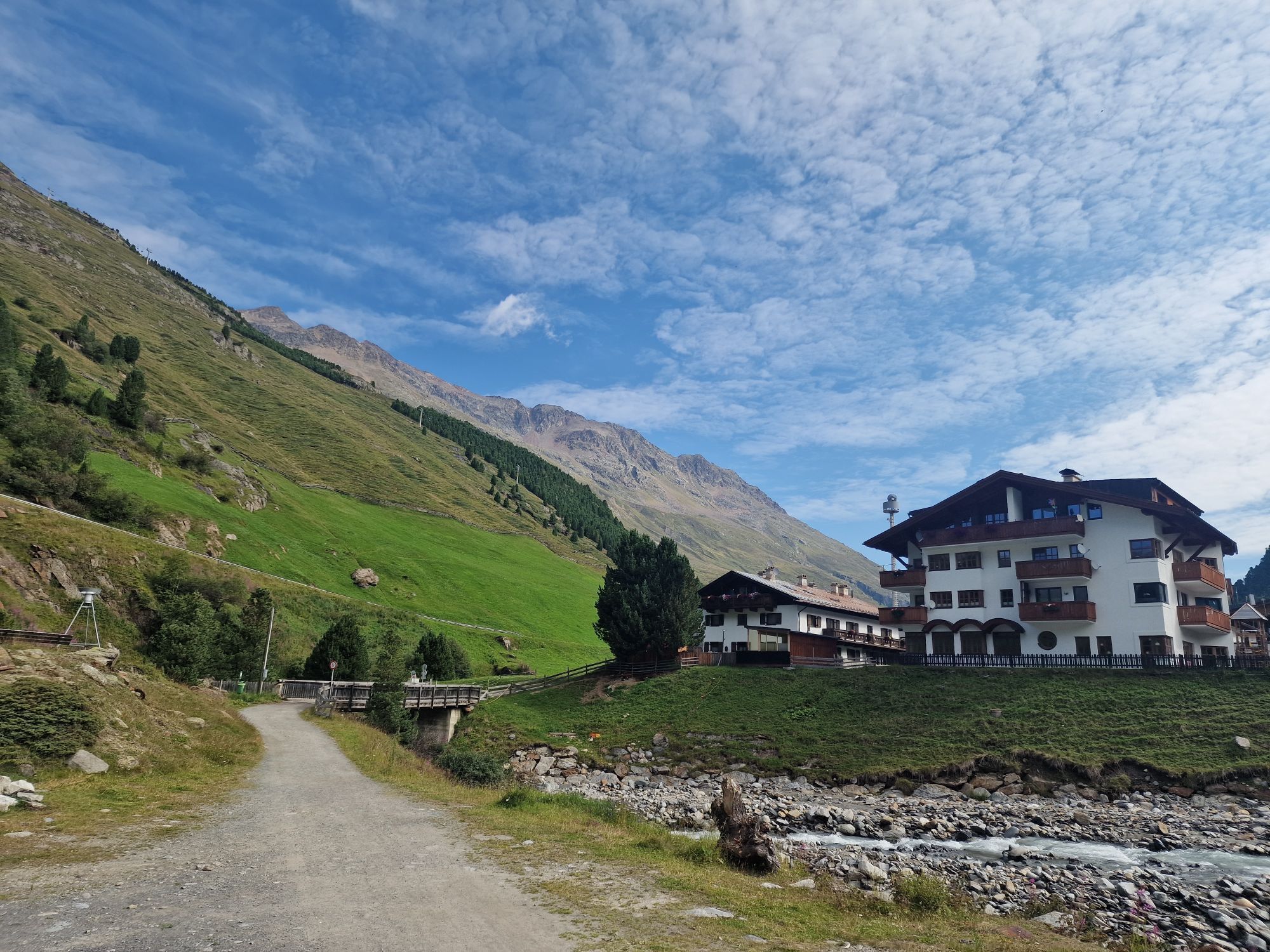
From the Braunschweigerhütte, hike up to Pitztaler Jöchl (2,990m) and over snow and ice to the Rettenbachferner in the Ötztal. The view of the surrounding glacier world and the 3,000-meter peaks is unique. From the Rettenbachferner, continue by bus to the Tiefenbach Glacier. Along the high panoramic trail, hike from about 2,800 m down to the mountain village of Vent at about 1,900 m. The trail runs from the glacier over the slopes of Mutboden, Weißkar, and Sonnenberg to lush alpine meadows. Upon arrival in Vent, several inns invite you to stop for a meal before heading back uphill to the Martin Busch Hut (2,501m). From Vent to Ochsenkopf, halfway up which turn left into the Niedertal. On a wide path past the mountain guide chapel and the shepherd's hut, continue on a moderately ascending path to the Martin Busch Hut and onward to the Similaun Hut. Here is the opportunity for a detour to the Ötzi, the Iceman’s discovery site 3,200 m (secured with rope, 1.5 h). At the highest point of this route, the Niederjoch, you cross the main Alpine ridge and hike from the high alpine region down to the valley of Vernagt am See in the Schnalstal.

From the Braunschweigerhütte, hike up to Pitztaler Jöchl (2,990m) and over snow and ice to the Rettenbachferner in the Ötztal. The view of the surrounding glacier world and the 3,000-meter peaks is unique. From the Rettenbachferner, continue by bus to the Tiefenbach Glacier. Along the high panoramic trail, hike from about 2,800 m down to the mountain village of Vent at about 1,900 m. The trail runs from the glacier over the slopes of Mutboden, Weißkar, and Sonnenberg to lush alpine meadows. Upon arrival in Vent, several inns invite you to stop for a meal before heading back uphill to the Martin Busch Hut (2,501m). From Vent to Ochsenkopf, halfway up which turn left into the Niedertal. On a wide path past the mountain guide chapel and the shepherd's hut, continue on a moderately ascending path to the Martin Busch Hut and onward to the Similaun Hut. Here is the opportunity for a detour to the Ötzi, the Iceman’s discovery site 3,200 m (secured with rope, 1.5 h). At the highest point of this route, the Niederjoch, you cross the main Alpine ridge and hike from the high alpine region down to the valley of Vernagt am See in the Schnalstal.
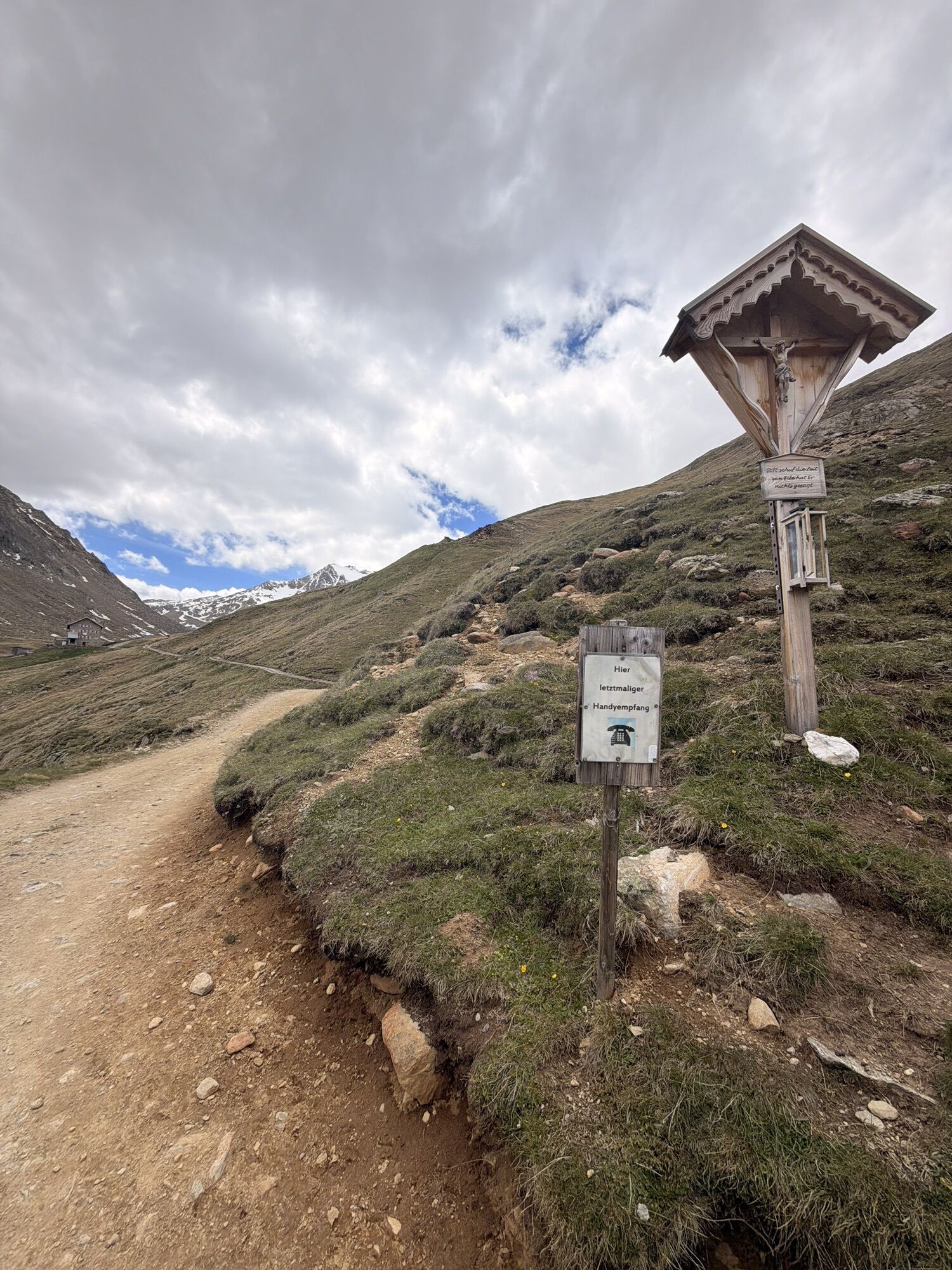
Appropriate equipment such as breathable and weather-appropriate outdoor clothing, ankle-high hiking boots, wind, rain and sun protection, a hat, and possibly gloves are required for all hikes and routes. Carrying a first aid kit, a mobile phone, and possibly a hiking map, as well as sufficient provisions for hikes without the possibility of stopping to eat, is necessary.
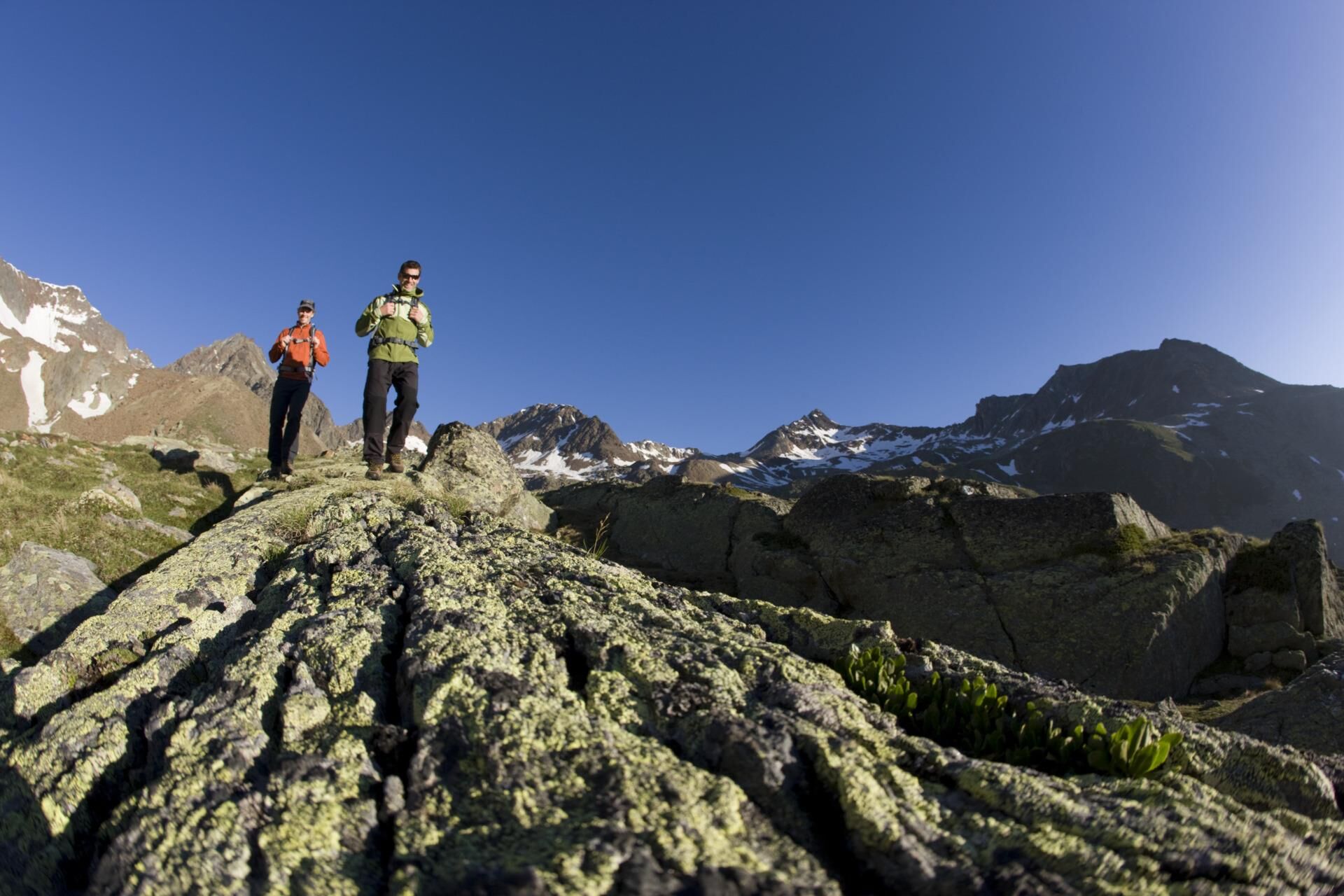
For hikers who are not afraid of heights, surefooted, and experienced in high alpine terrain; excellent physical condition, extensive mountain experience, alpine climbing equipment, securing and navigation aids, and good weather conditions are recommended. Please check the current weather report at: www.oetztal.com/de/sommer
Driving into the ÖTZTAL. Located in Tyrol, the Ötztal branches southwards as the longest side valley of the Eastern Alps. Traveling by car takes visitors through the Inn Valley to the entrance of the valley and further along the Ötztal. In addition to the toll highway, country roads can also be used. Your trip can be quickly and conveniently planned with the route planner: To the route planner: https://www.google.at/maps.
Travel comfortably and safely by train to the Ötztal station. The final stop or departure point is the ÖTZTAL station. Then you can conveniently and quickly travel by public transport or local taxi companies through the entire valley to your desired destination! The current bus timetable is available at: http://fahrplan.vvt.at
T2
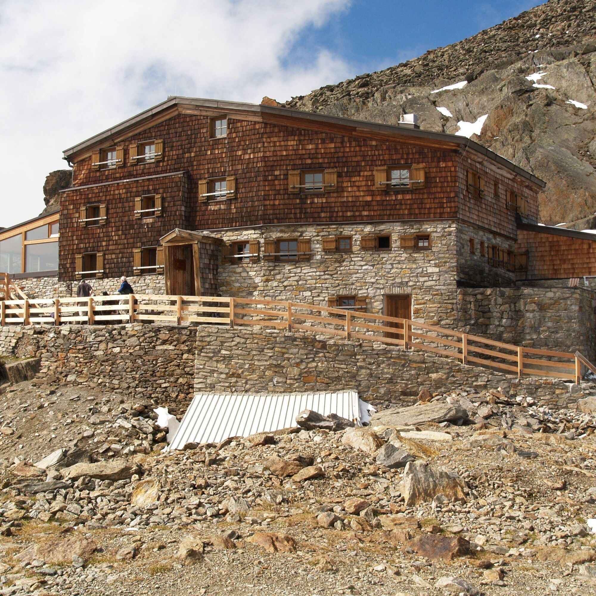
Overnight stay at the Martin Busch Hut, Similaun Hut, or the accommodations in Vent. Early reservation recommended.
Alternative route: From Vent through the Rofental Valley to Hochjoch Hospice 2,413 m to Schön Aussicht Hut 2,845 m to Kurzras in the Schnalstal Valley.
Spletne kamere s turneje
-
Schutzhütte Schöne Aussicht
-
Venter Seilbahnen - DSL Wildspitze
-
Seekogel
-
Gaislachkogel
-
Schnalstal - Bergstation Gletscherbahn
-
Sölden - Schwarze Schneid
-
Sölden - Tiefenbachferner Tal
-
Sölden - Rettenbachferner
-
Alt Vent
-
Geierwallihof - Rofen/Vent
-
Vent
-
Vent
-
Giggijoch
-
Tisenjoch
-
Schnalstal - Bergstation Gletscherbahn
-
Lazaun Bergstation
-
Umlaufbahn Lazaun II
-
Schwarze Schneid Mittelstation
-
Schnals - Grawand
-
Sölden - Gaislachkogelbahn Mittelstation
-
Sölden - Schwarzkogl Talstation
-
Sölden - Tiefenbachkogl

Priljubljeni izleti v okolici
-
4.3
Vorderkaser - Eishof / Texelgruppe
svetlobaPohodništvo 4.83 km -
4.7
Vent - Kreuzspitze
Pohodništvo 20.6 km -
4.4
Hochtour Wildspitze, 3.768m
srednjaVisokogorska tura 9.75 km -
4.3
Rundweg Vernagter See plus Einkehr Finailhof
srednjaPohodništvo 8.73 km -
4.1
Vernagt-Stausee (Seerundgang)
svetlobaPohodništvo 6.70 km -
4.6
Vent - Wilder Mann - Breslauer Hütte - Stableinalm
srednjaPohodništvo 7.25 km -
4.9
Pfossental - vom Vorderkaser auf die Stettinerhütte
srednjaPohodništvo 23.7 km -
3.1
Tiefenbachglacier - Mountaineering Village Vent
srednjaPohodništvo 10.8 km -
5.0
Kurzras - Schöne Aussicht - ins hintere Eis
srednjaPohodništvo 13.0 km -
3.7
Breslauer Hut
srednjaPohodništvo 4.75 km
Pohodništvo in sledenje


Ne zamudite ponudb in navdiha za naslednje počitnice
Vaš e-poštni naslov je bil dodan na poštni seznam.