


Ötztaler Urweg detour E5 Sölden - Hochgurgl Crosspoint (continue by bus to Obergurgl)
Stopnja težavnosti: T2
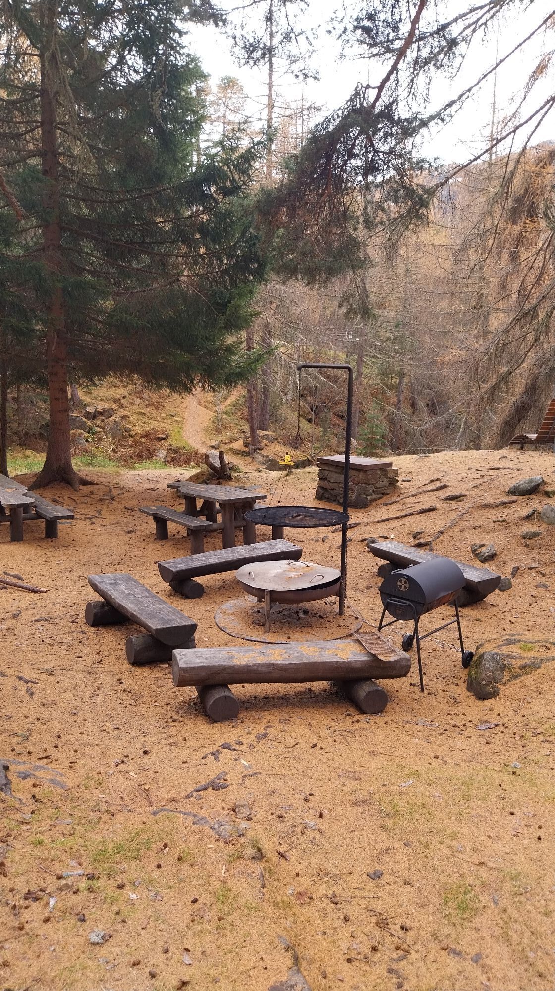
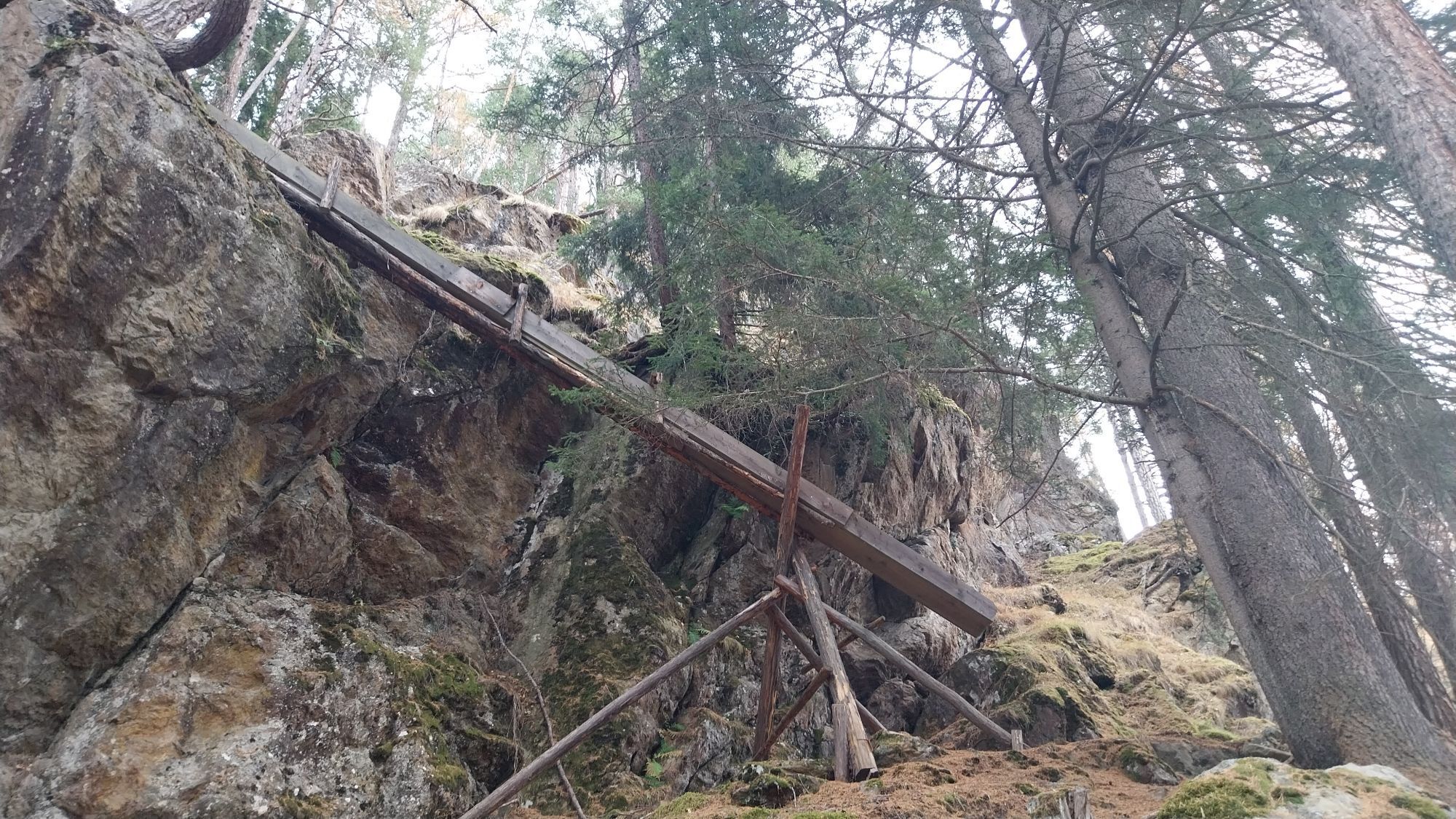
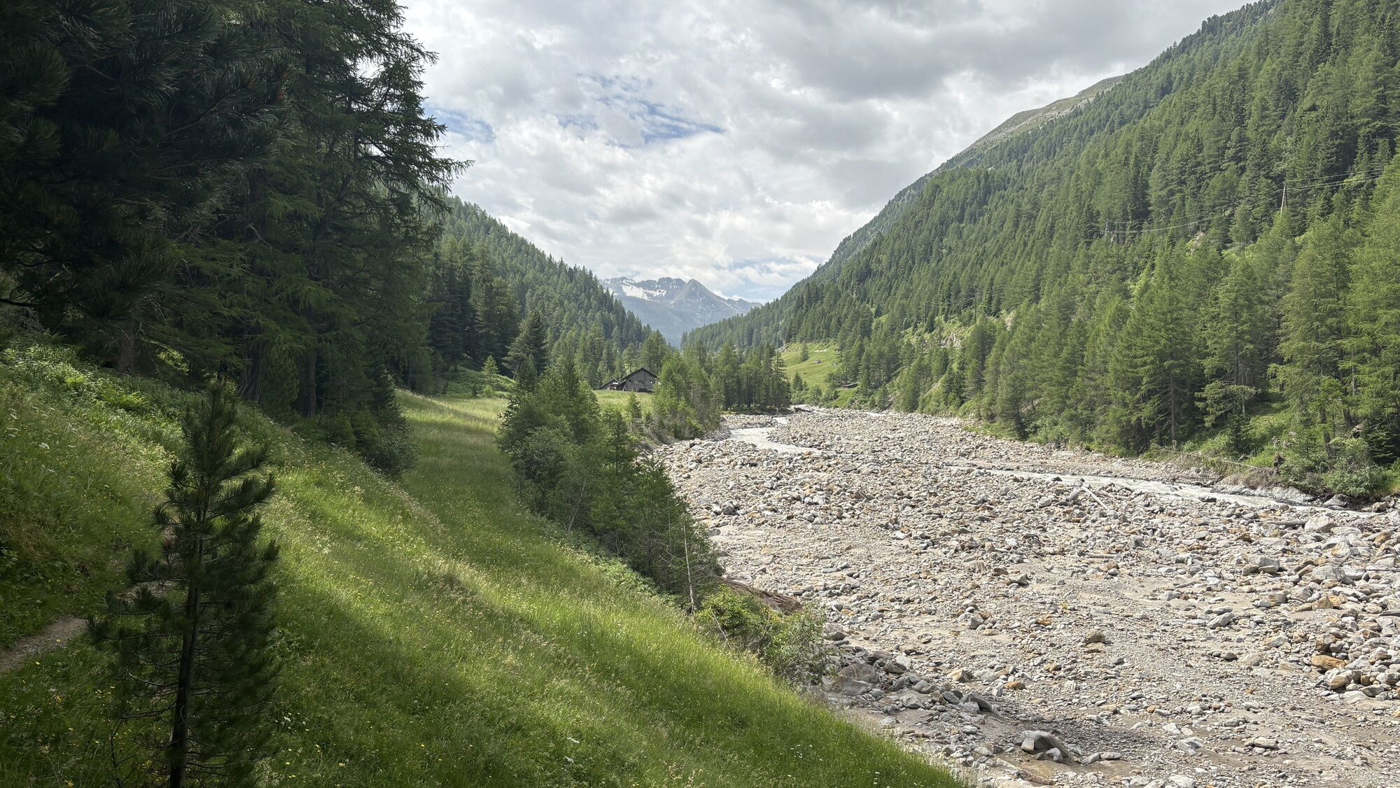
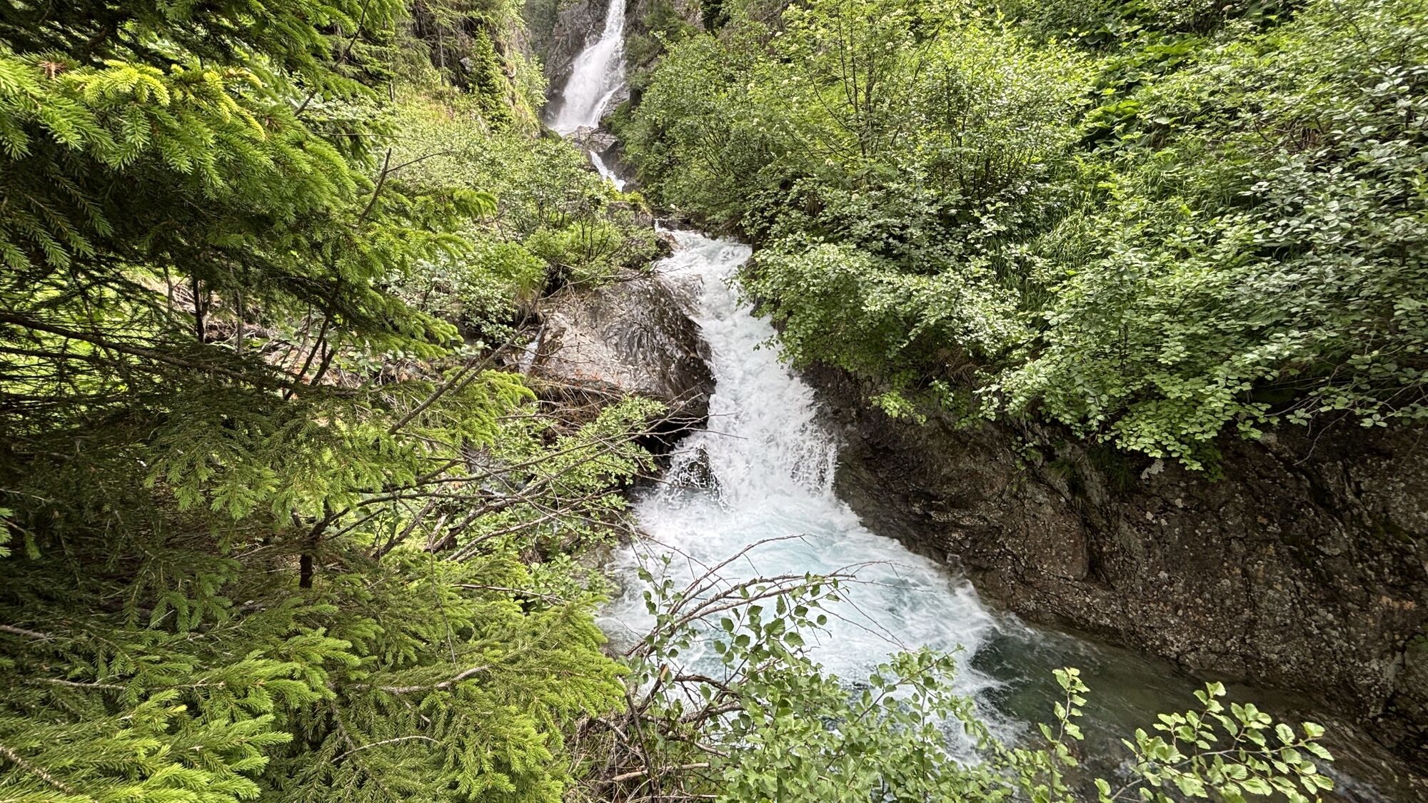
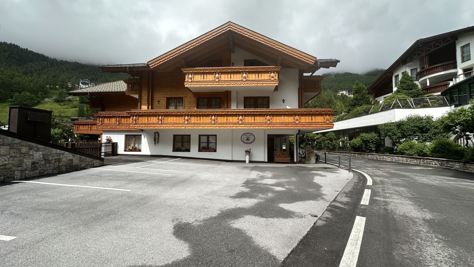
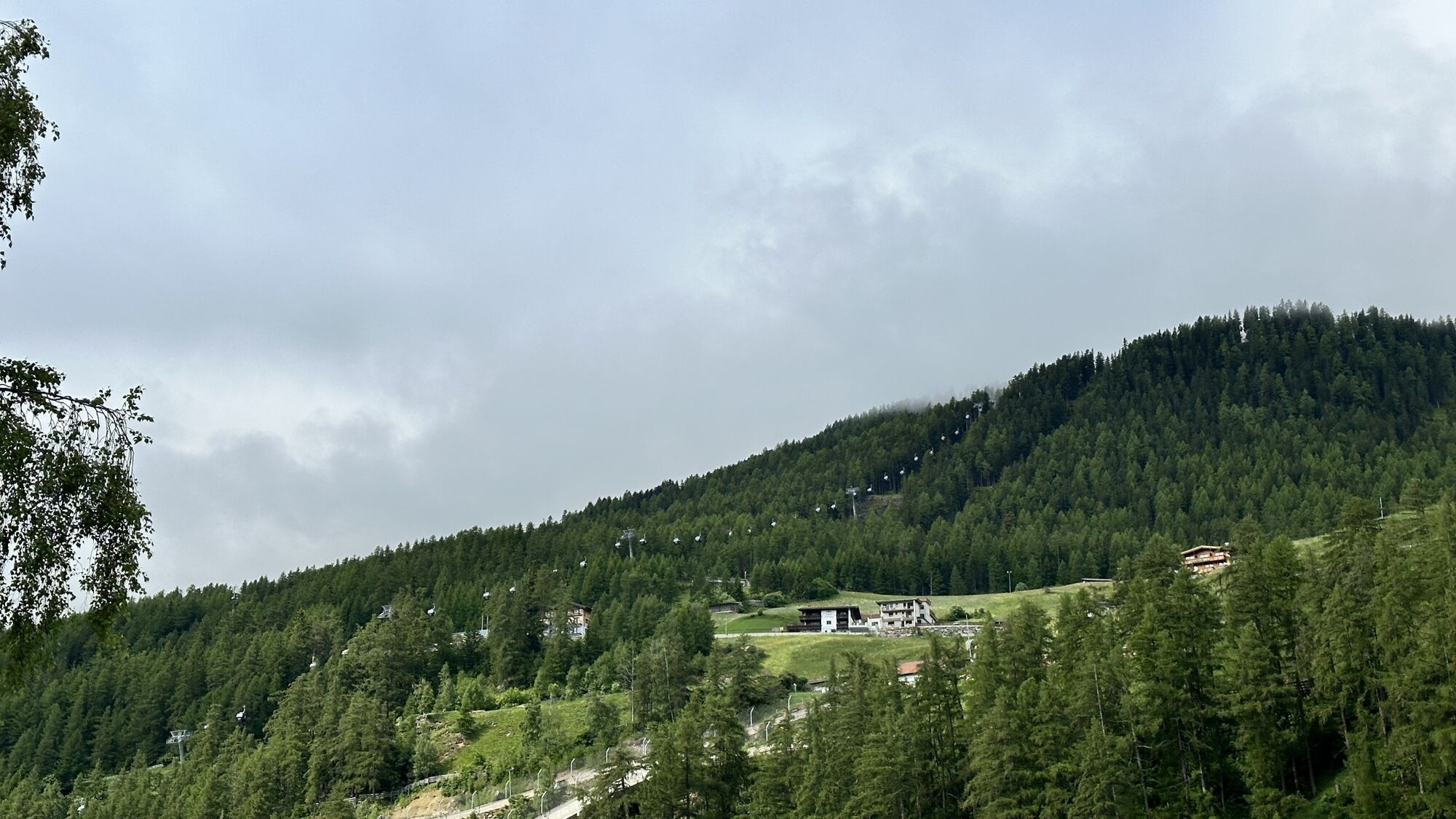
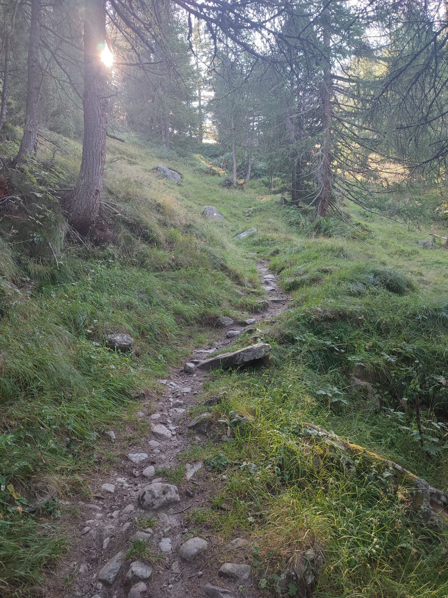
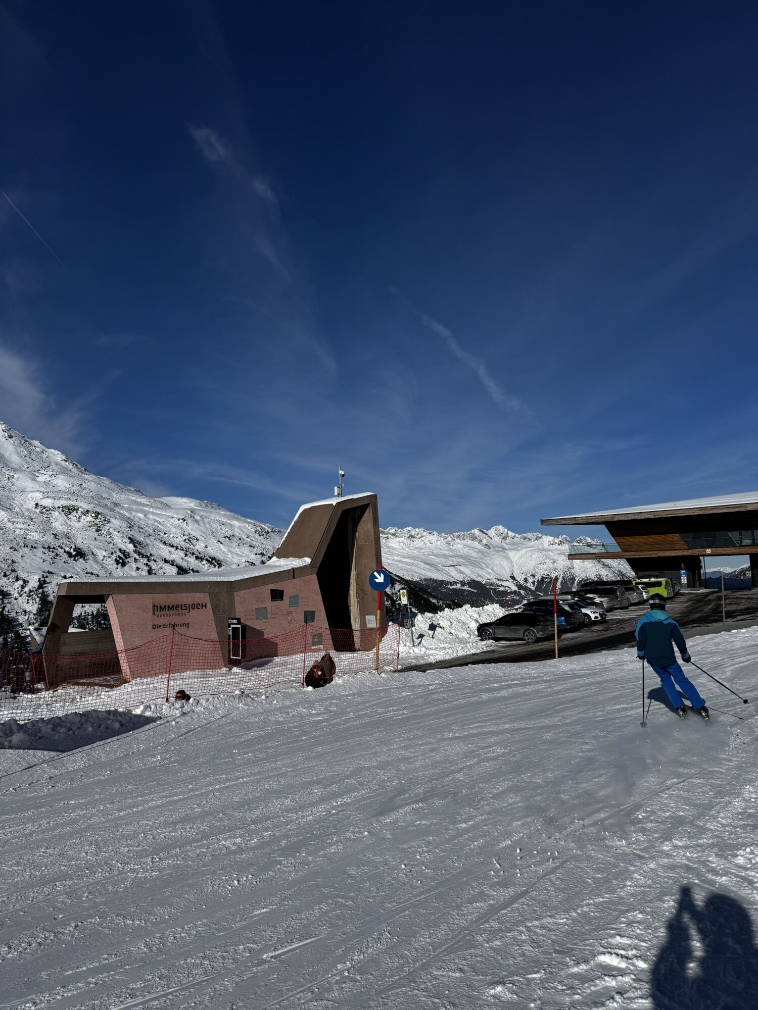
Fotografije naših uporabnikov
-
 © stijn zijderveldUstvarjeno na 15.02.2026
 -
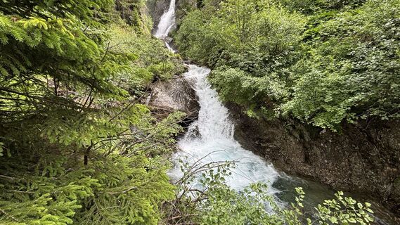
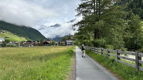
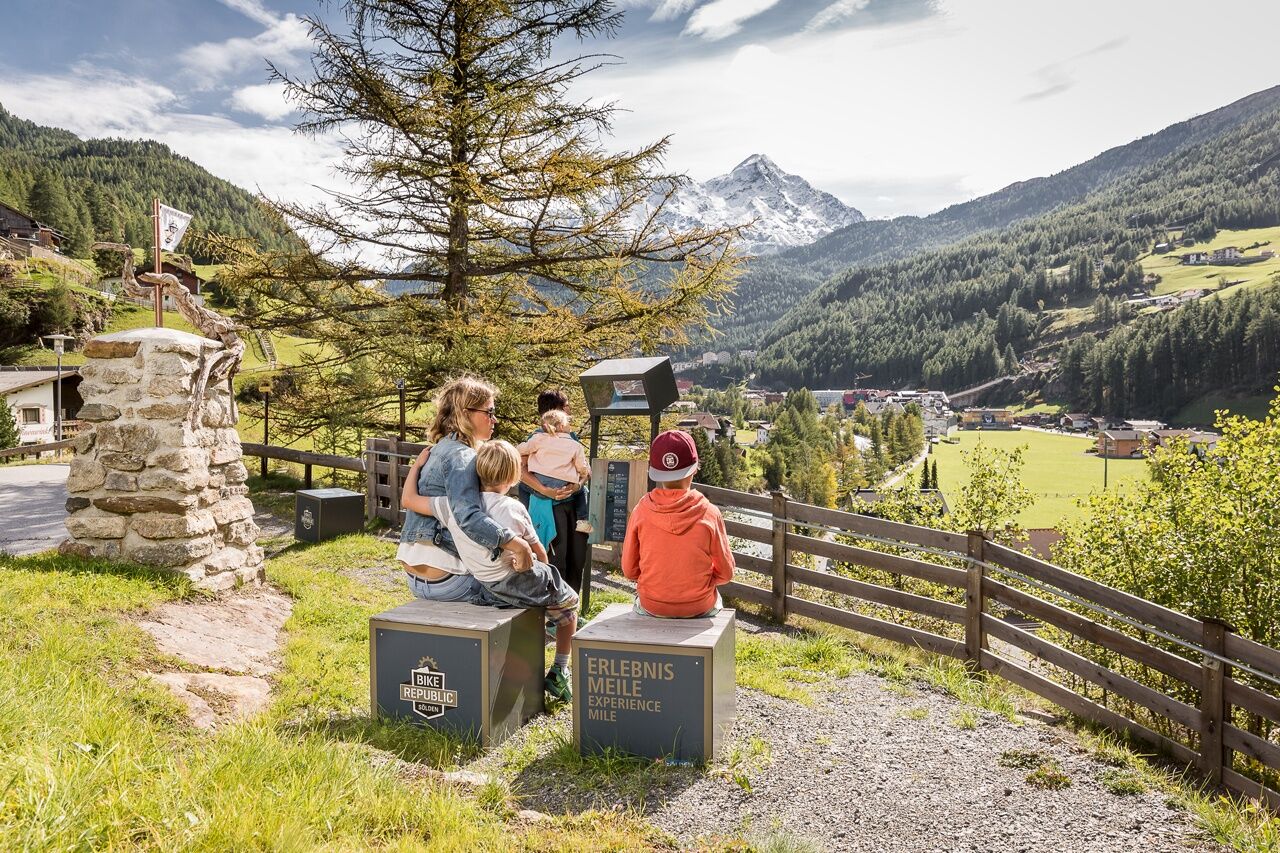
 © Desirée AuerUstvarjeno na 16.11.2025
 -
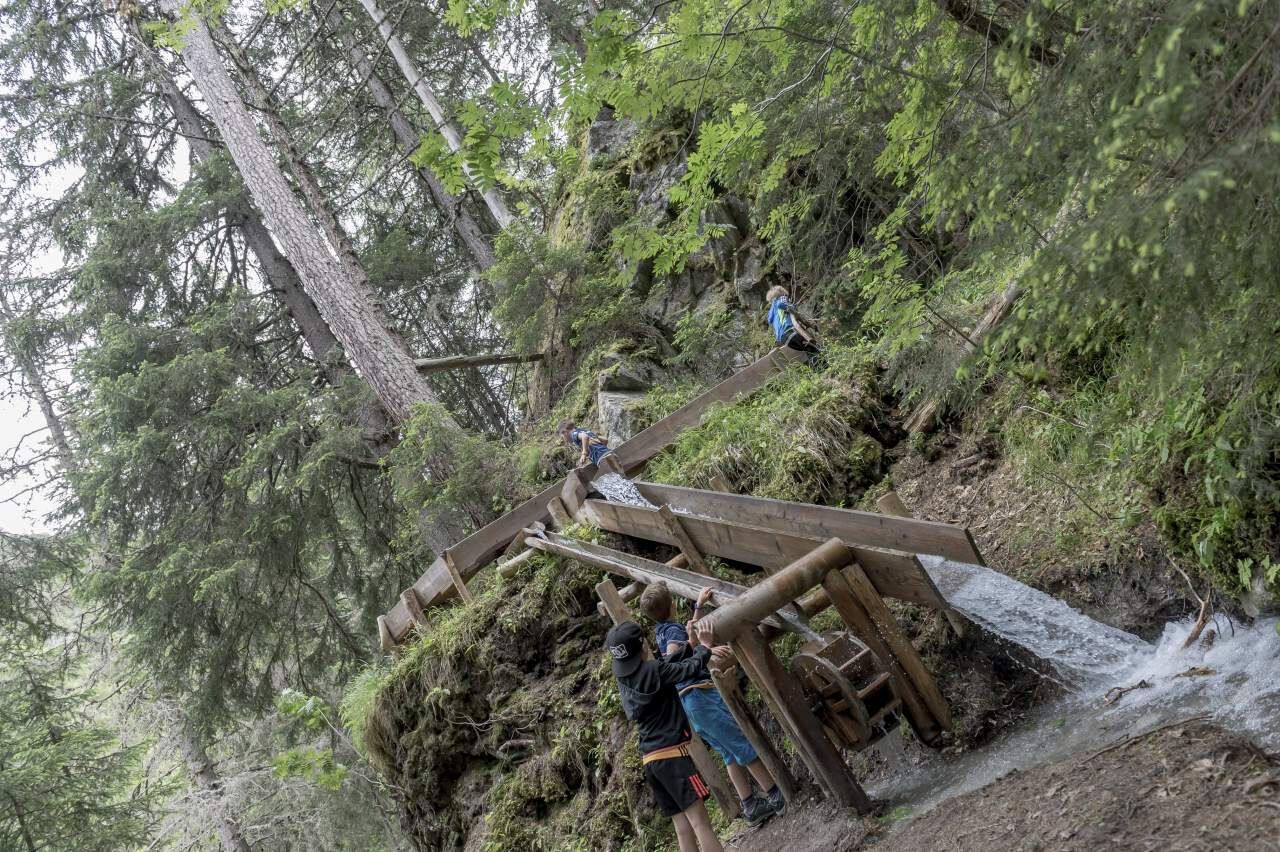
 © Desirée AuerUstvarjeno na 16.11.2025
 -
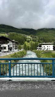
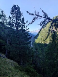
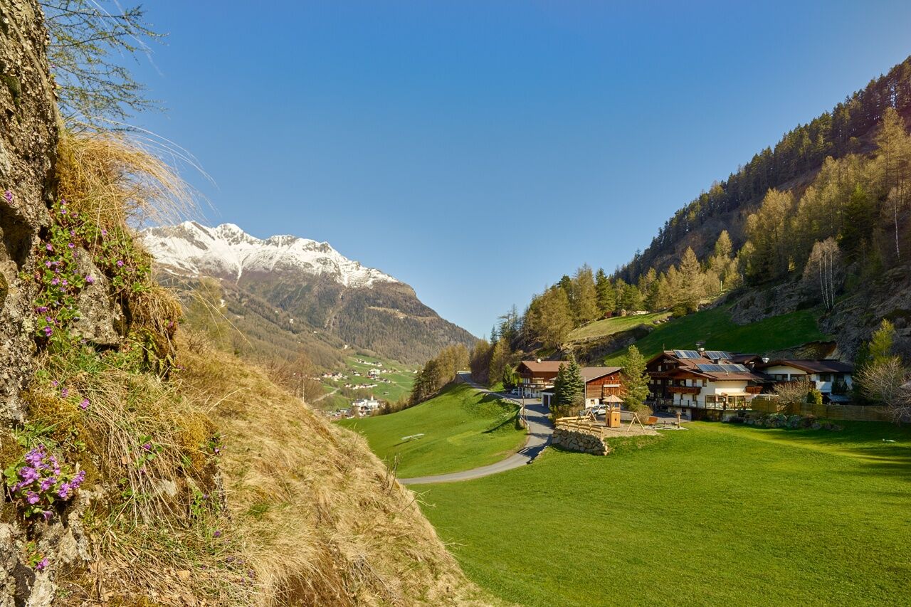
 © MichaelUstvarjeno na 23.06.2025
 -
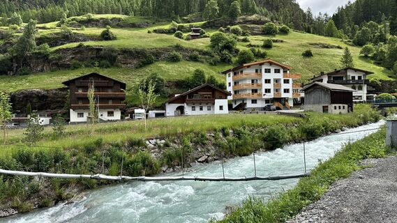
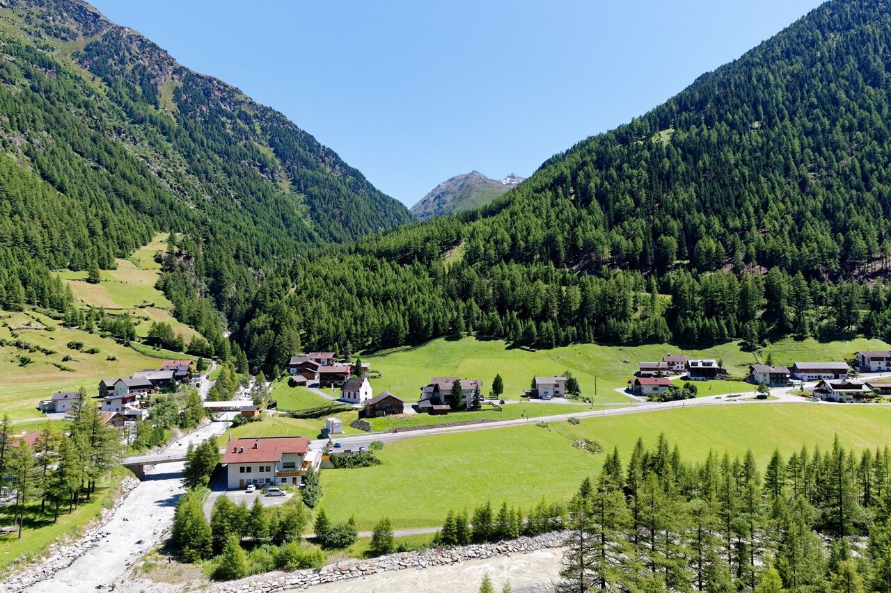
 © MichaelUstvarjeno na 23.06.2025
 -
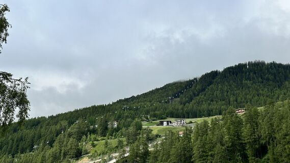
 © MichaelUstvarjeno na 23.06.2025
 -
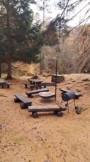
 © Ferenc GattyánUstvarjeno na 08.06.2025
 -
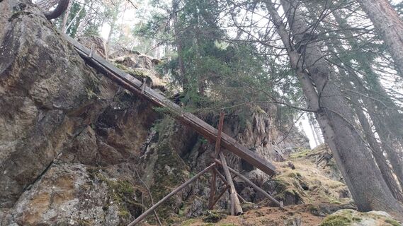
 © Ferenc GattyánUstvarjeno na 08.06.2025
 -
 © Ferenc GattyánUstvarjeno na 08.06.2025
 -
 © Ferenc GattyánUstvarjeno na 08.06.2025
 -
 © Ferenc GattyánUstvarjeno na 08.06.2025
 -

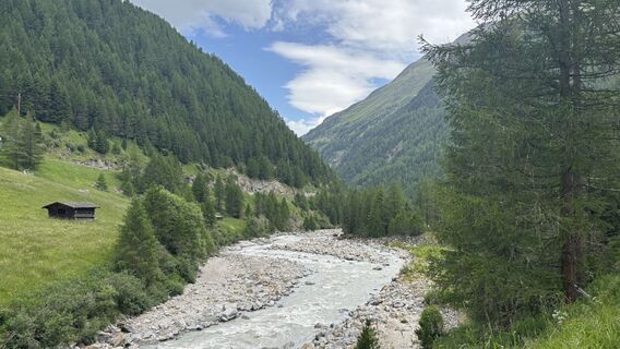
 © Sarah WellhönerUstvarjeno na 30.08.2024
 -
 © Sarah WellhönerUstvarjeno na 30.08.2024
 -
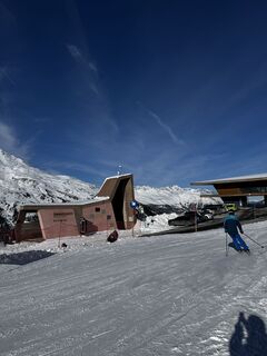
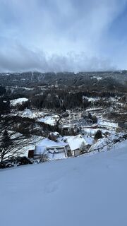
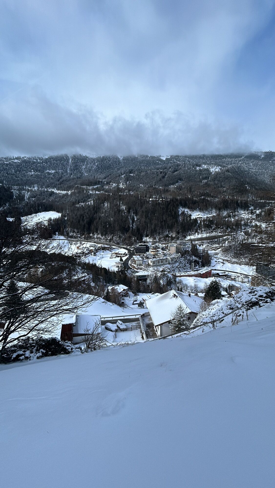
 © Tim SchefflerUstvarjeno na 27.01.2026


TWO BLOOMING SKI RESORTS IN SUMMER
The quiet and loud Sölden, undeniably the pioneering achievement the town has made in skiing. Action-packed James Bond film location, meeting place of the greats in skiing,...
TWO BLOOMING SKI RESORTS IN SUMMER
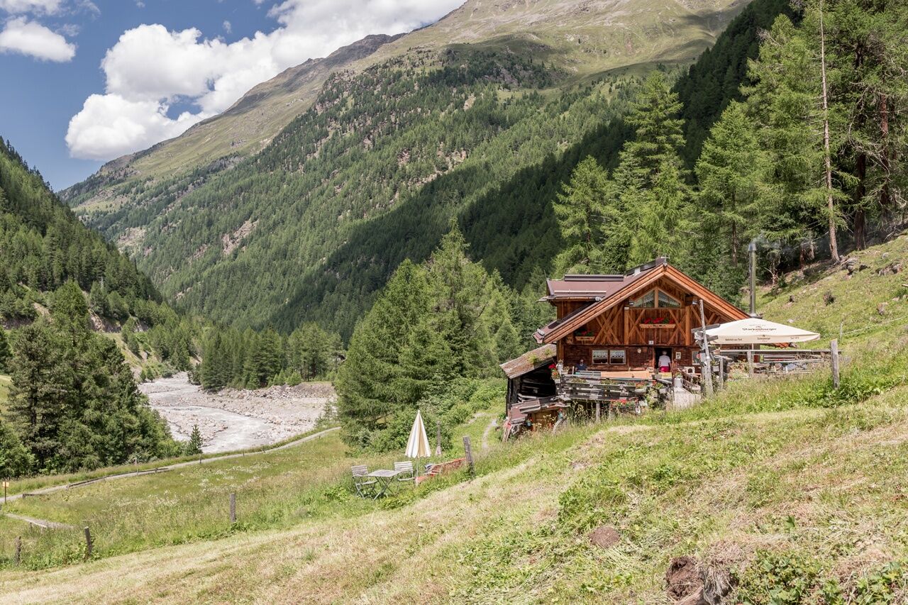
The quiet and loud Sölden, undeniably the pioneering achievement the town has made in skiing. Action-packed James Bond film location, meeting place of the greats in skiing, or the open-air drama Hannibal, these highlights and many more annually attract young and old alike. And then Sölden's quiet side, pure origin in the Windach Valley, energy and strength seekers find their source here year-round. Besides impressive mountain landscapes, you find the most lively and current element in the Ötztal: water. Visiting the Mooserstegle Waalweg promises a glimpse into the past, where waals guided precious water into dry areas of the valley village for agriculture!
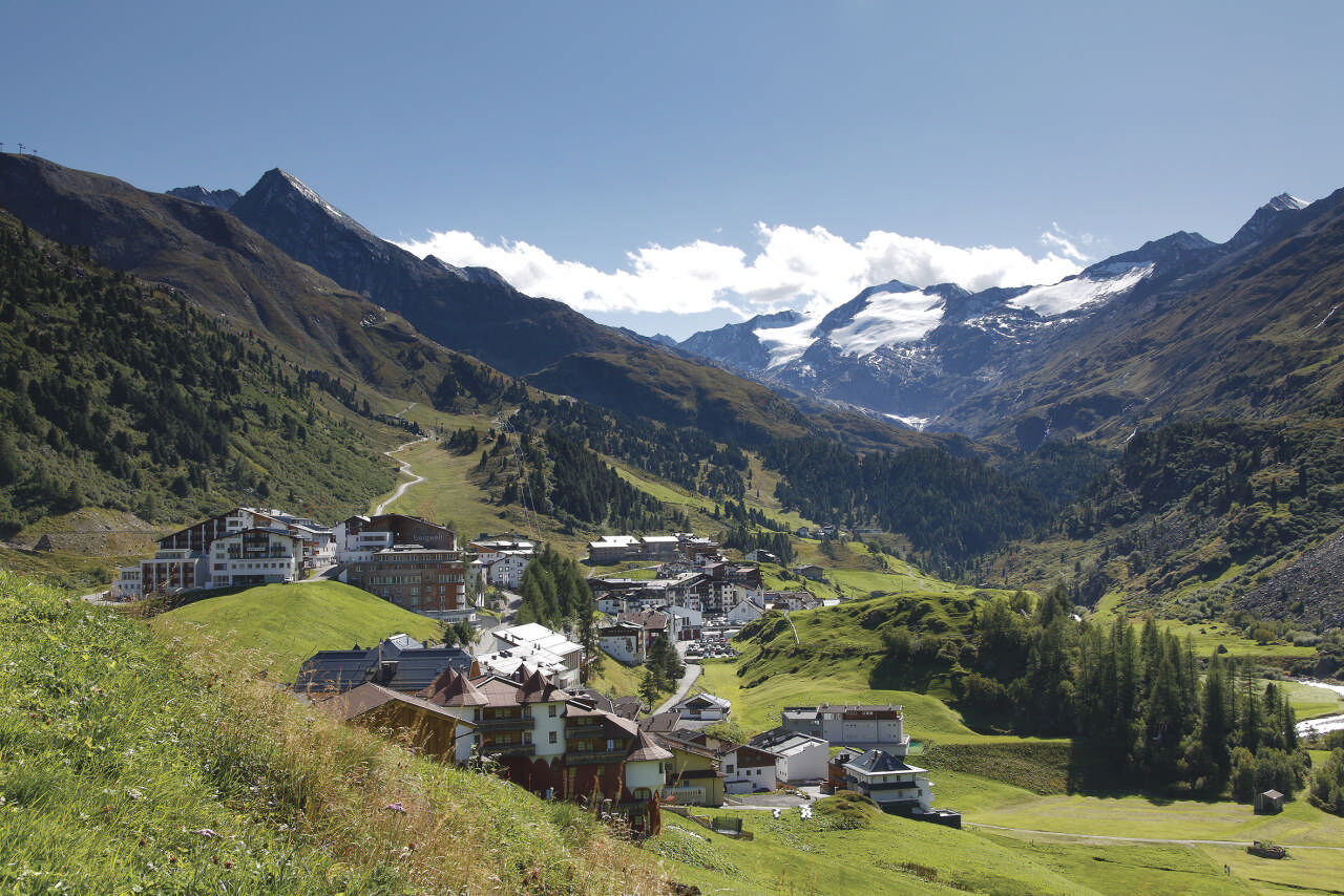
Further down the valley where the Ötztal diverges, you pass a small village whose name already includes the geological location. At Zwieselstein, two powerful mountain rivers converge, the Venter and the Gurgler Ache, here forming the Ötztaler Ache. The path leads us to the Gurgler valley, up to 1,930m to the glacier and ski resort of Obergurgl.

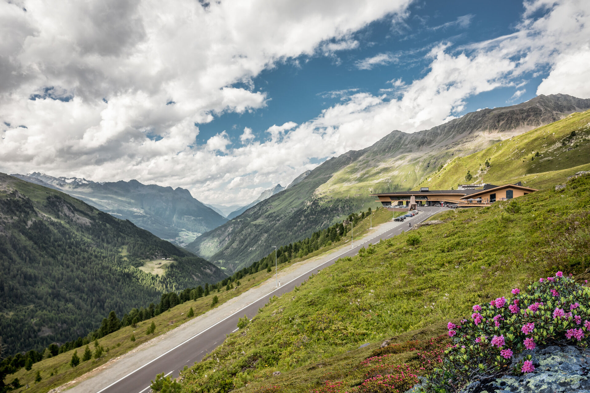

From the Sahne Stüberl, climb steeply again about 400 meters in elevation to the Timmelsjoch High Alpine Road. Upon reaching the road, the last meters lead comfortably above the road into the valley to the Top Mountain Crosspoint.
To save the last arduous descent meters, we recommend taking the bus from there to Obergurgl.
Appropriate equipment such as breathable and weather-appropriate outdoor clothing is required for all hikes and routes. Carrying a first aid kit, a mobile phone, and possibly a hiking map, as well as sufficient provisions when hiking without the option to stop for food, is necessary.
Moderately difficult mountain trail; suitable for sure-footed and experienced mountain hikers; good physical condition, mountain experience, and mountain equipment (see equipment section) necessary. Please observe the current weather report.
The car ride into the ÖTZTAL. Located in Tyrol, the Ötztal branches southwards as the longest side valley of the Eastern Alps. Traveling by car takes visitors through the Inn Valley up to the valley entrance and further along the Ötztal. Besides the toll highway, country roads can also be used. Your drive can be quickly and conveniently planned with the route planner: Route planner: www.google.at/maps
Travel comfortably and safely by train to the Ötztal station. The final stop or exit point is the ÖTZTAL station. Afterwards, travel conveniently and quickly by public transit or local taxi companies through the entire valley to your desired destination! The current bus schedule is available at: fahrplan.vvt.at
The following parking options are available in Sölden:
Postplatz parking lot Stiegele parking lot Step parking lot Giggijochbahn + underground garage Gaislachkoglbahn + underground garage Hochsölden parking lot Hochsölden parking garage 1st parking deck Zwieselstein parking lot Zwieselstein/Sports field parking lotAll parking spaces are subject to a fee.
For parking over several days (e.g., hut tour):
Postplatz, parking ticket available at the Sölden information center Gaislachkoglbahn parking garage, parking ticket either online or directly at the Gaislachkoglbahn ticket counterT2
Did you know that…
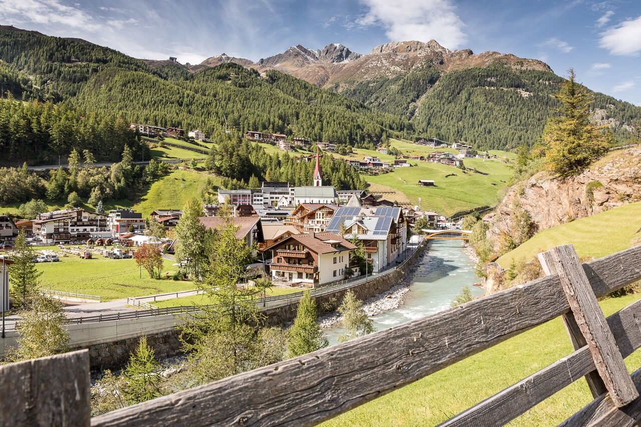
… Obergurgl, at 1,930 m above sea level, is considered the highest church village in Austria.
More information about hiking in the Ötztal: www.oetztal.com/wandern
To "save" the last meters downhill, we recommend the bus from Hochgurgl to Obergurgl
Schedule: www.vvt.at
For holders of the Summer Card, the bus is free of charge.
Spletne kamere s turneje
Priljubljeni izleti v okolici
-
4.7
Wilde Wasser Weg - Fortgeschritten
srednjaPohodništvo 12.0 km -
4.3
Amberger Hut - Längenfeld/Gries
srednjaPohodništvo 5.60 km -
4.4
Hochtour Wildspitze, 3.768m
srednjaVisokogorska tura 9.75 km -
3.1
Tiefenbachglacier - Mountaineering Village Vent
srednjaPohodništvo 10.8 km -
4.5
Vent - Wilder Mann - Breslauer Hütte - Stableinalm
srednjaPohodništvo 7.25 km -
5.0
Dresdner hütte - sulzenauerhütte
srednjaPohodništvo 12.1 km -
4.1
Hohe Geige über Gawinden und den Westgrat
težkoPohodništvo 14.3 km -
5.0
Obergurgl - Ramolhaus
Pohodništvo 7 km -
5.0
Nissl Alm - Längenfeld/Gries
svetlobaPohodništvo 5.17 km -
4.0
E5 - 4. Etappe: Zams - Braunschweiger Hütte
srednjaPohodništvo v daljavo 5 km
Pohodništvo in sledenje


Ne zamudite ponudb in navdiha za naslednje počitnice
Vaš e-poštni naslov je bil dodan na poštni seznam.