






Kleines Törl









Ascent:
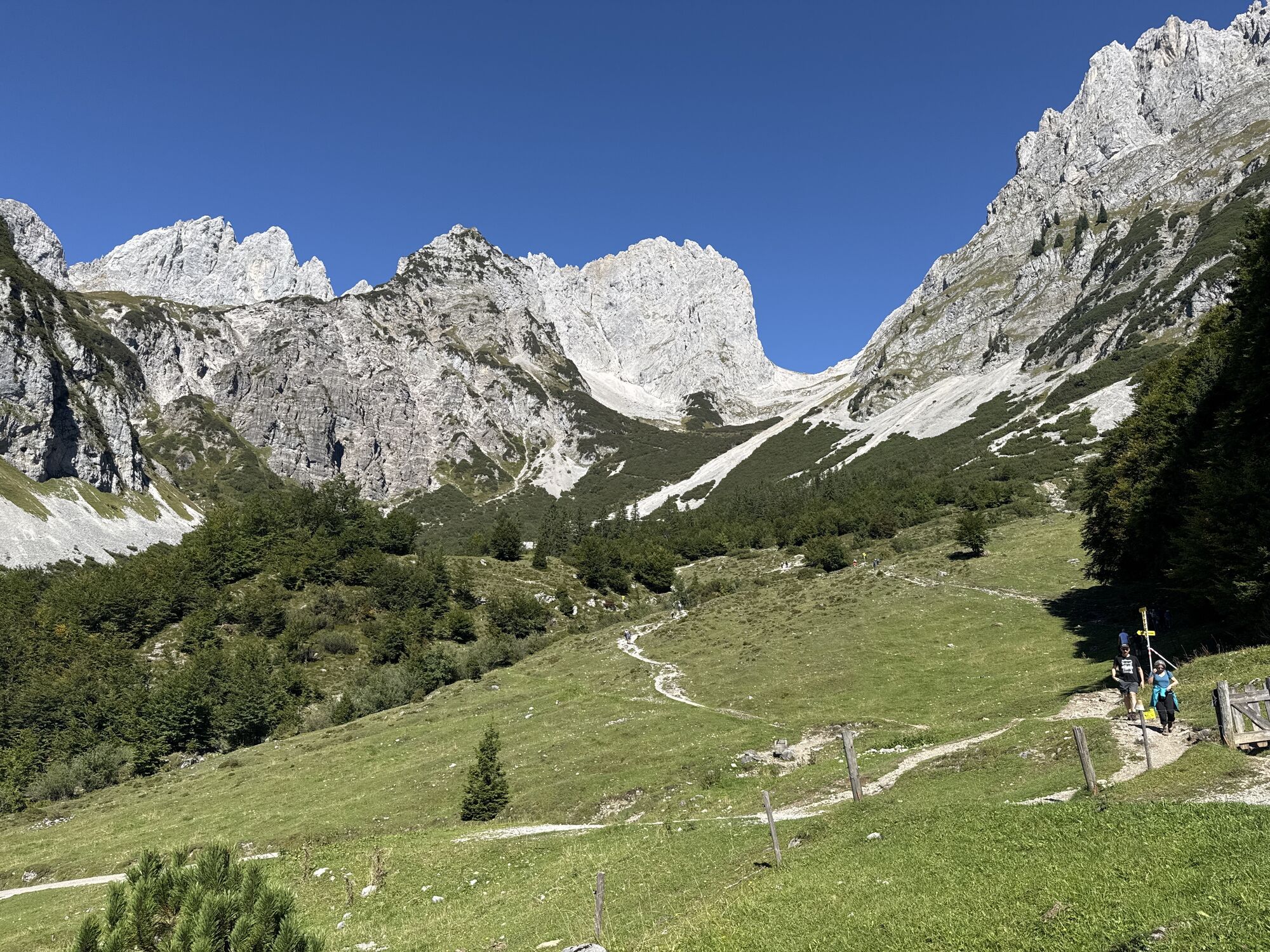
From the hiking starting point Tannbichl you start this challenging and panoramic mountain tour. On the forest road and later on trail no. 815 you hike on the Gildensteig trail always in the direction...
Ascent:
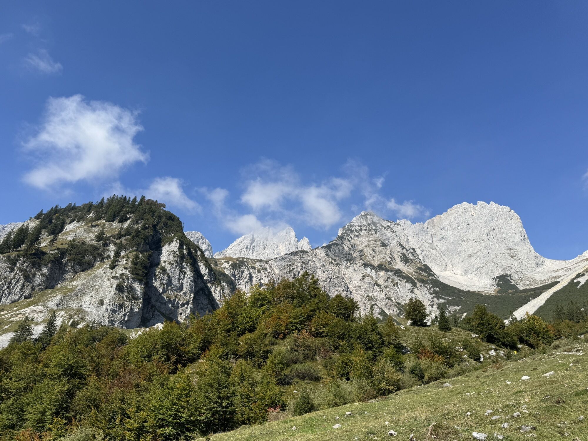
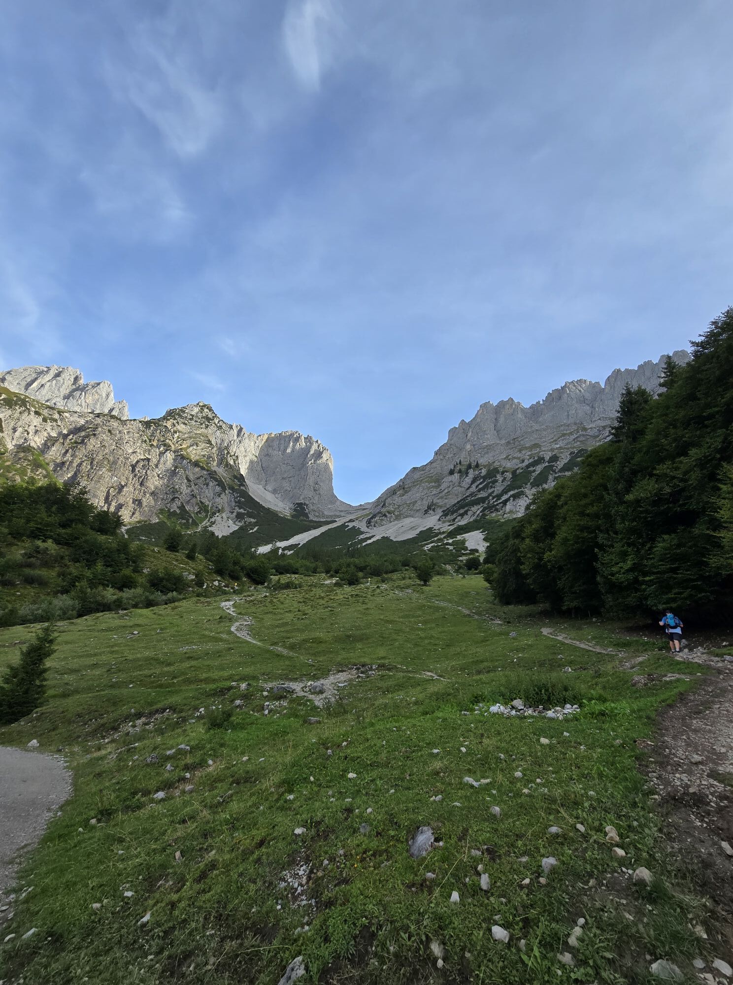
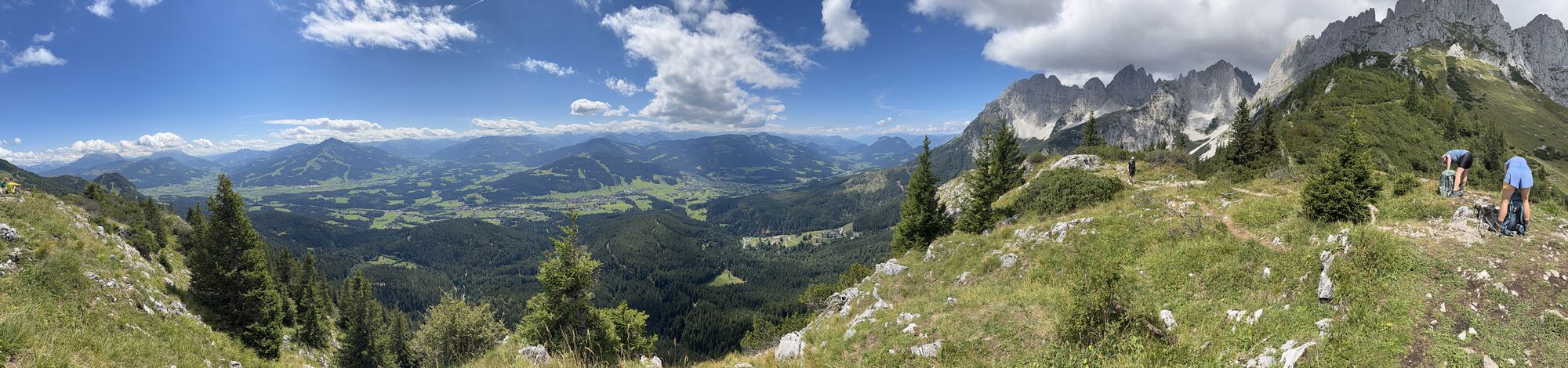
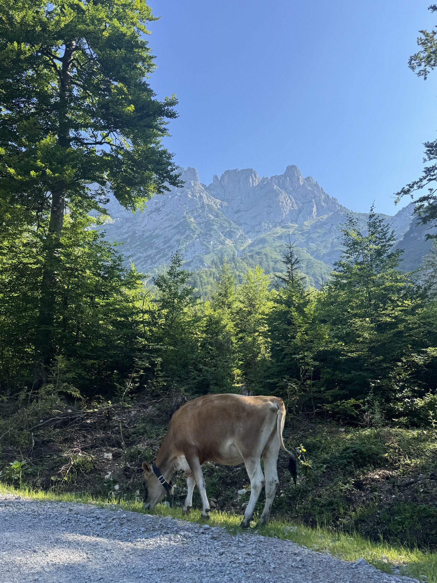
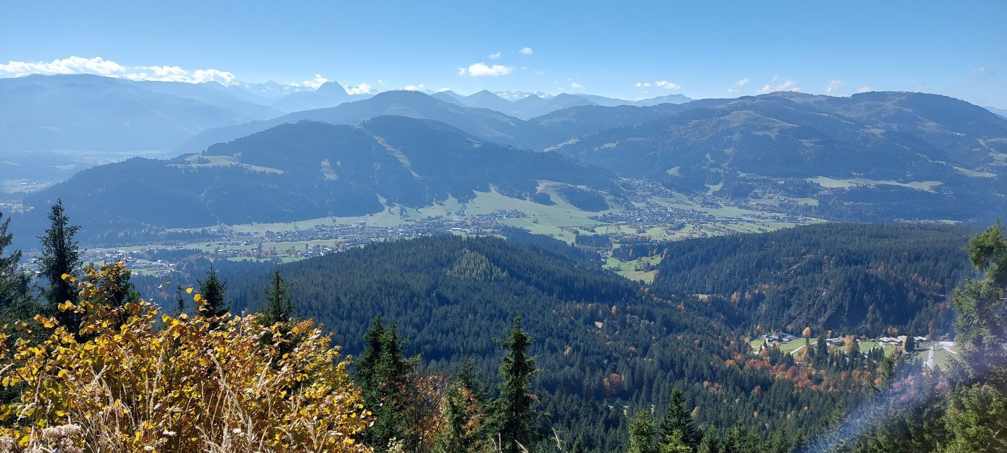
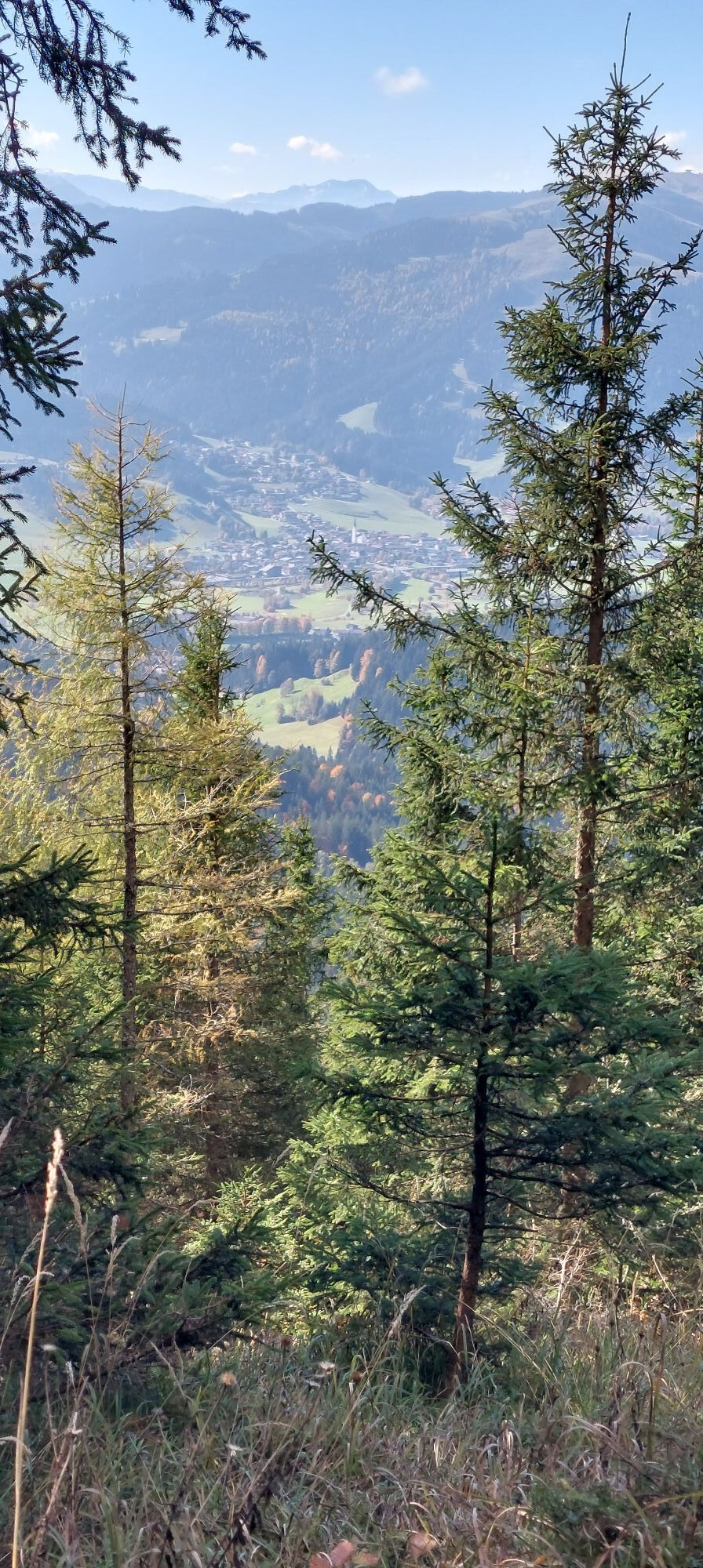
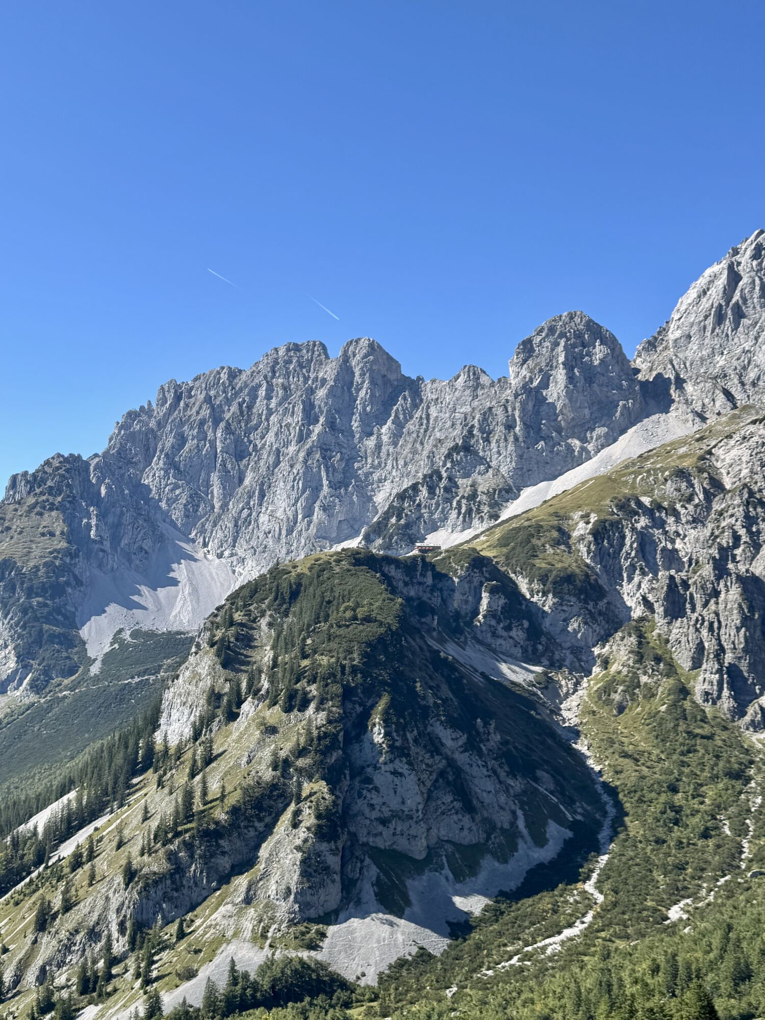
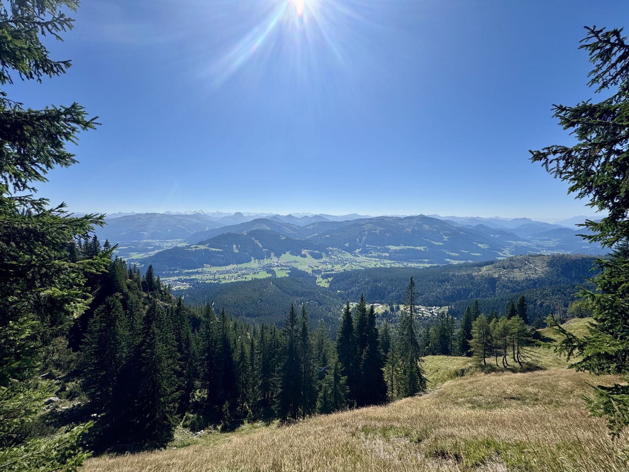
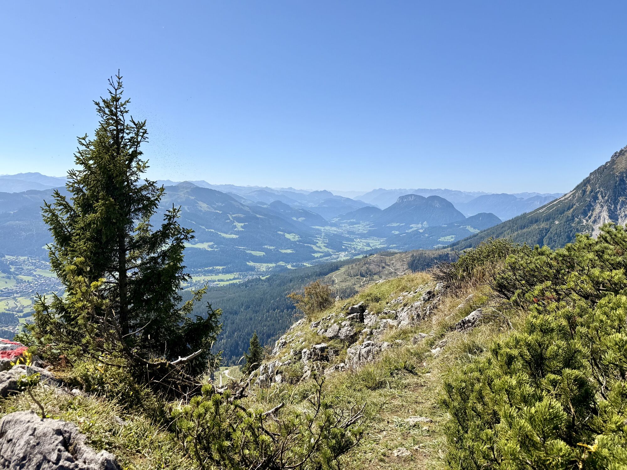
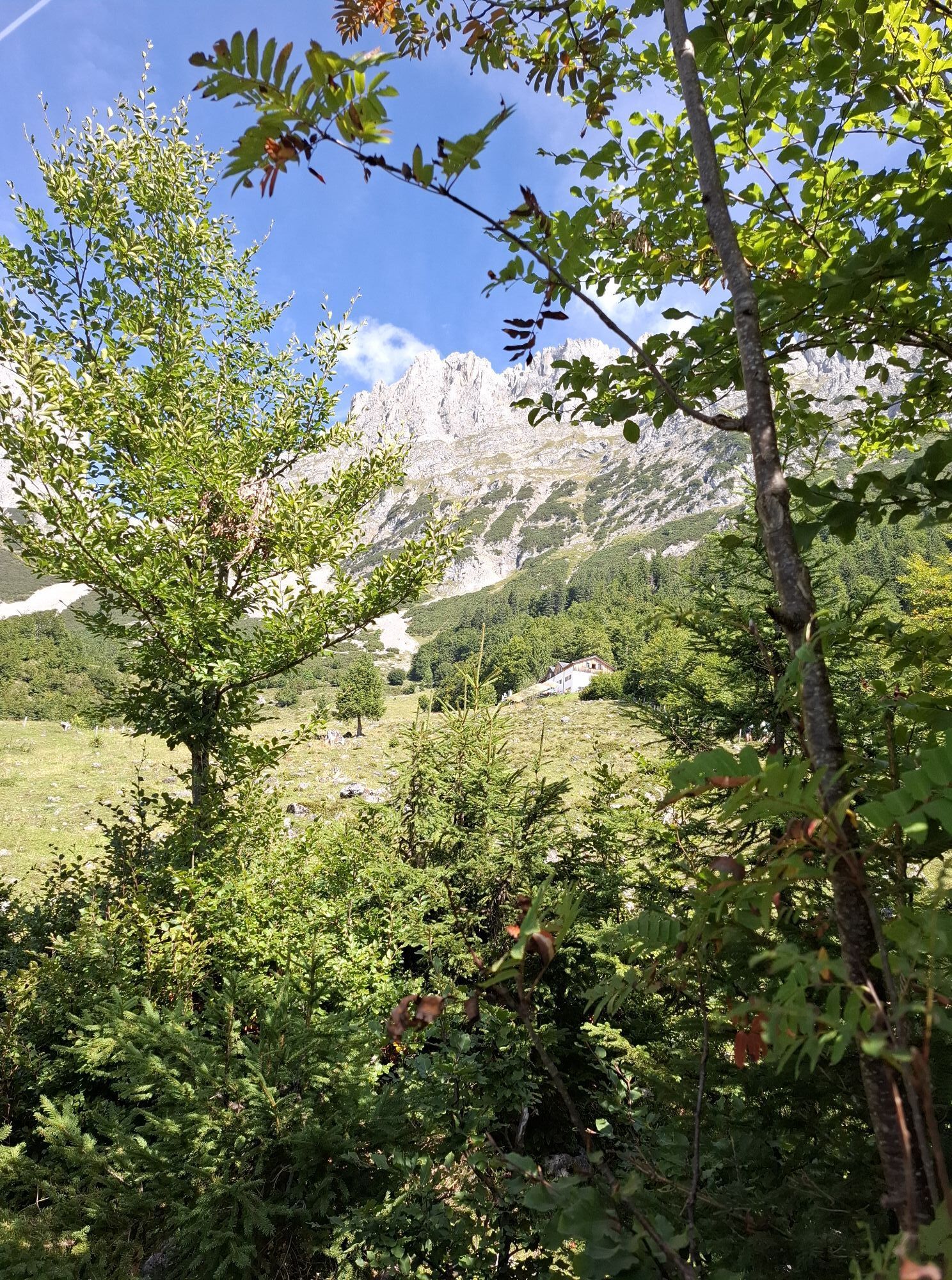
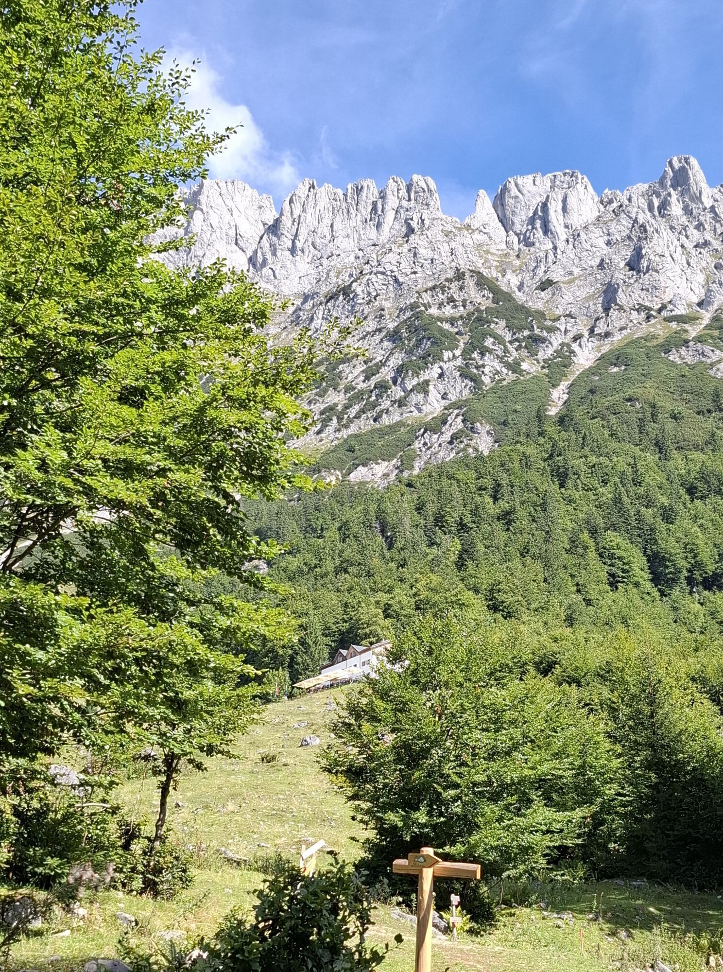
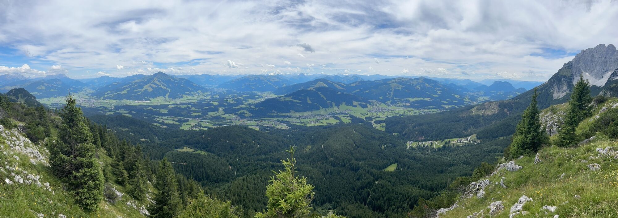
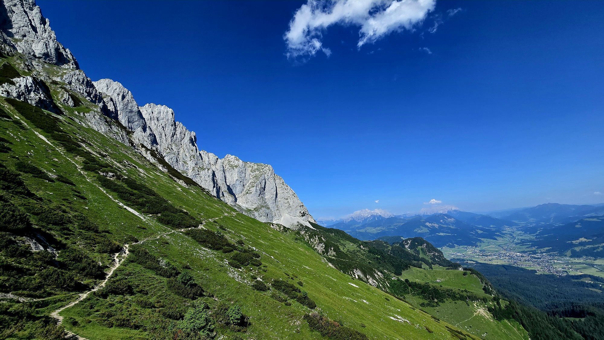
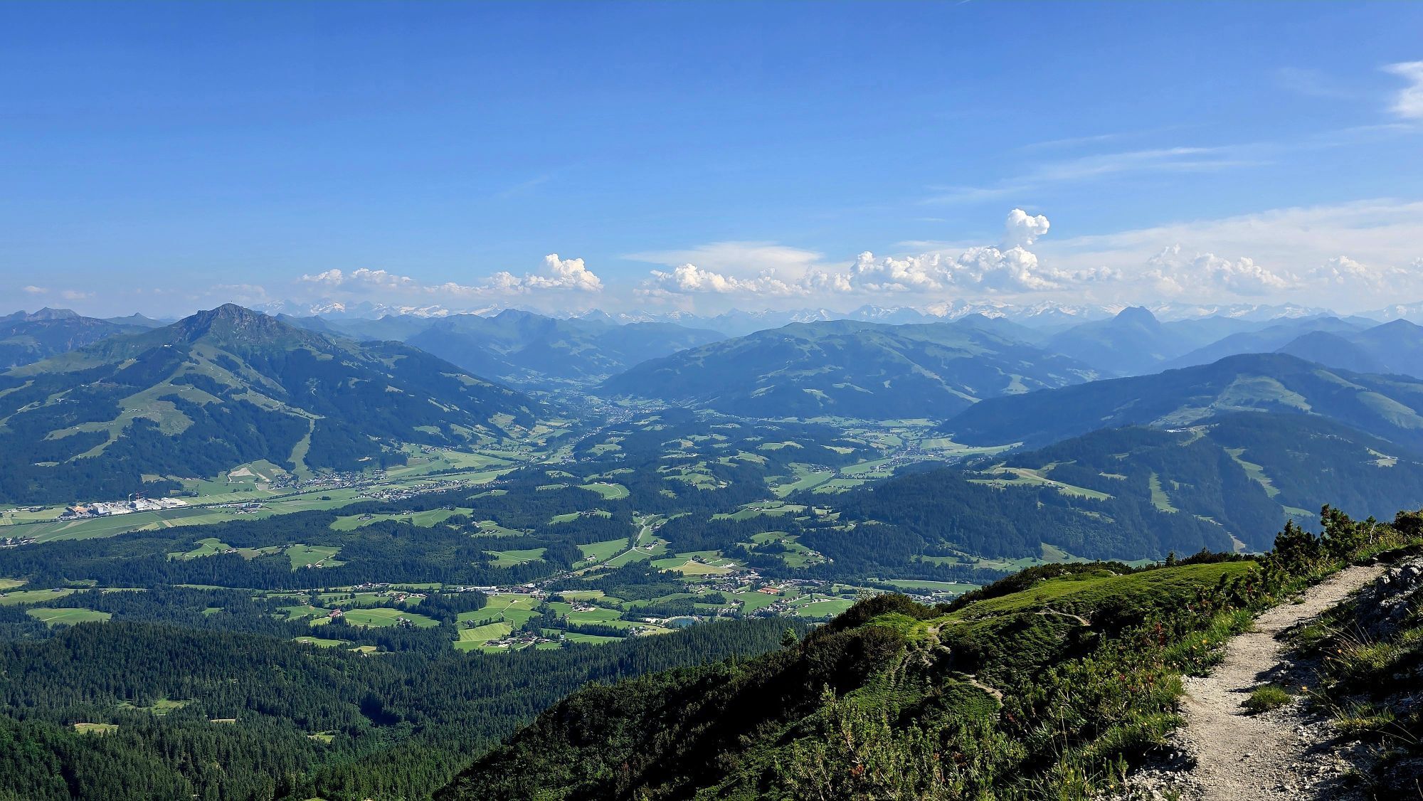
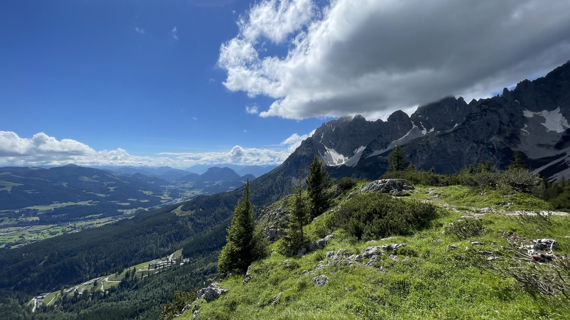
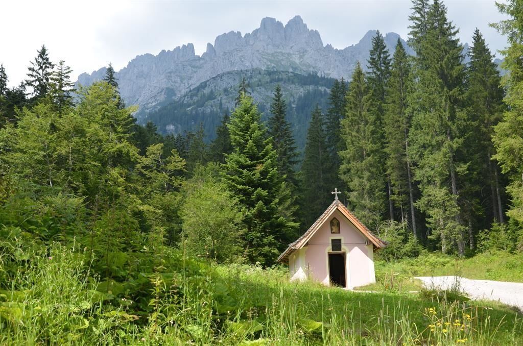
From the hiking starting point Tannbichl you start this challenging and panoramic mountain tour. On the forest road and later on trail no. 815 you hike on the Gildensteig trail always in the direction of Kleines Törl. Pass the Tannbichl chapel, which was built around the middle of the 19th century, and keep left at the next fork. Continue through the forest until you reach the crossroads, which shows you the way to the Kleines Törl via the Gildensteig trail. On trail no. 815 you first hike through the forest and across a clearing until you reach the "Mahlereck". The fantastic viewpoint is ideal for a short breather.
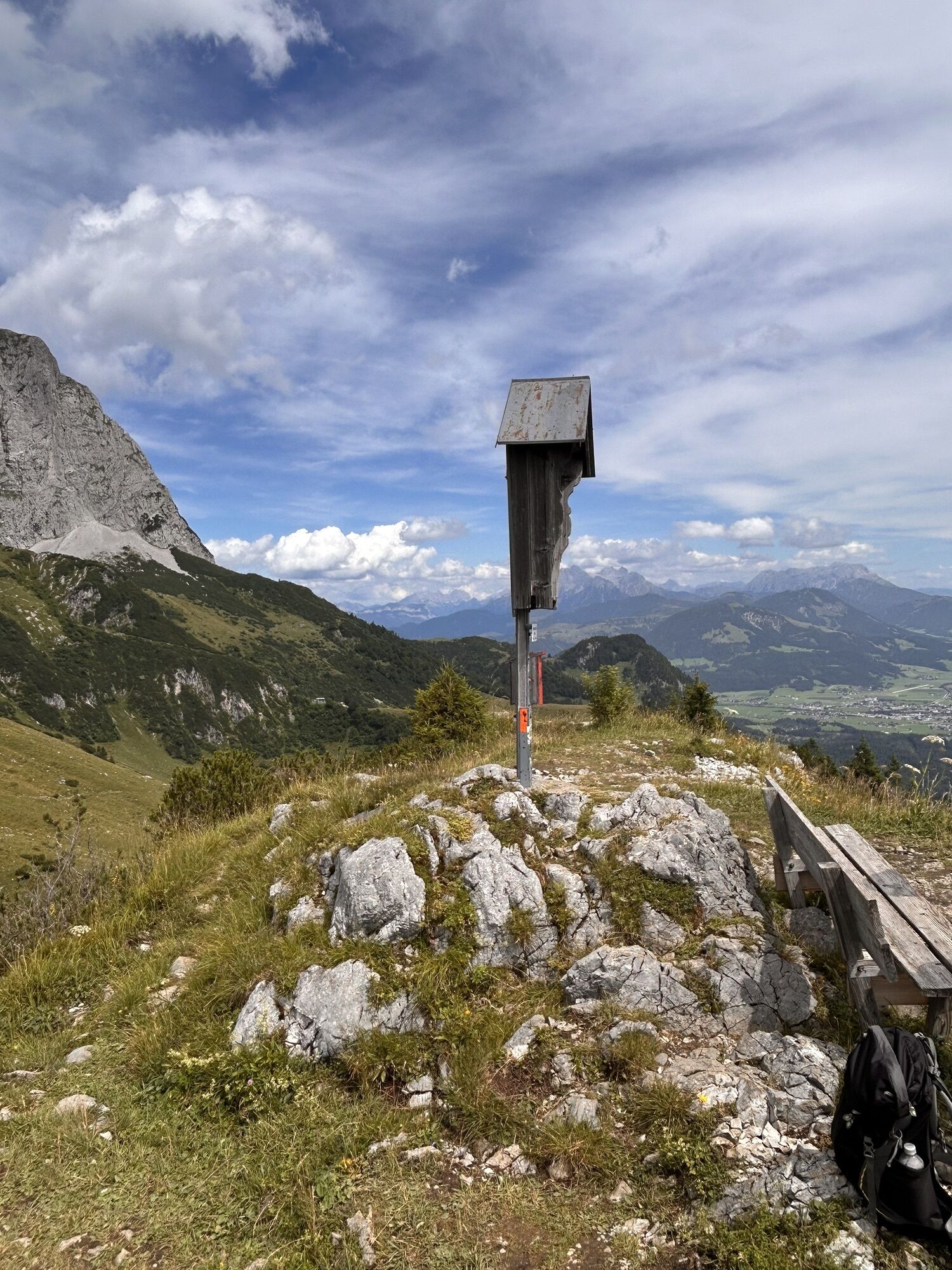
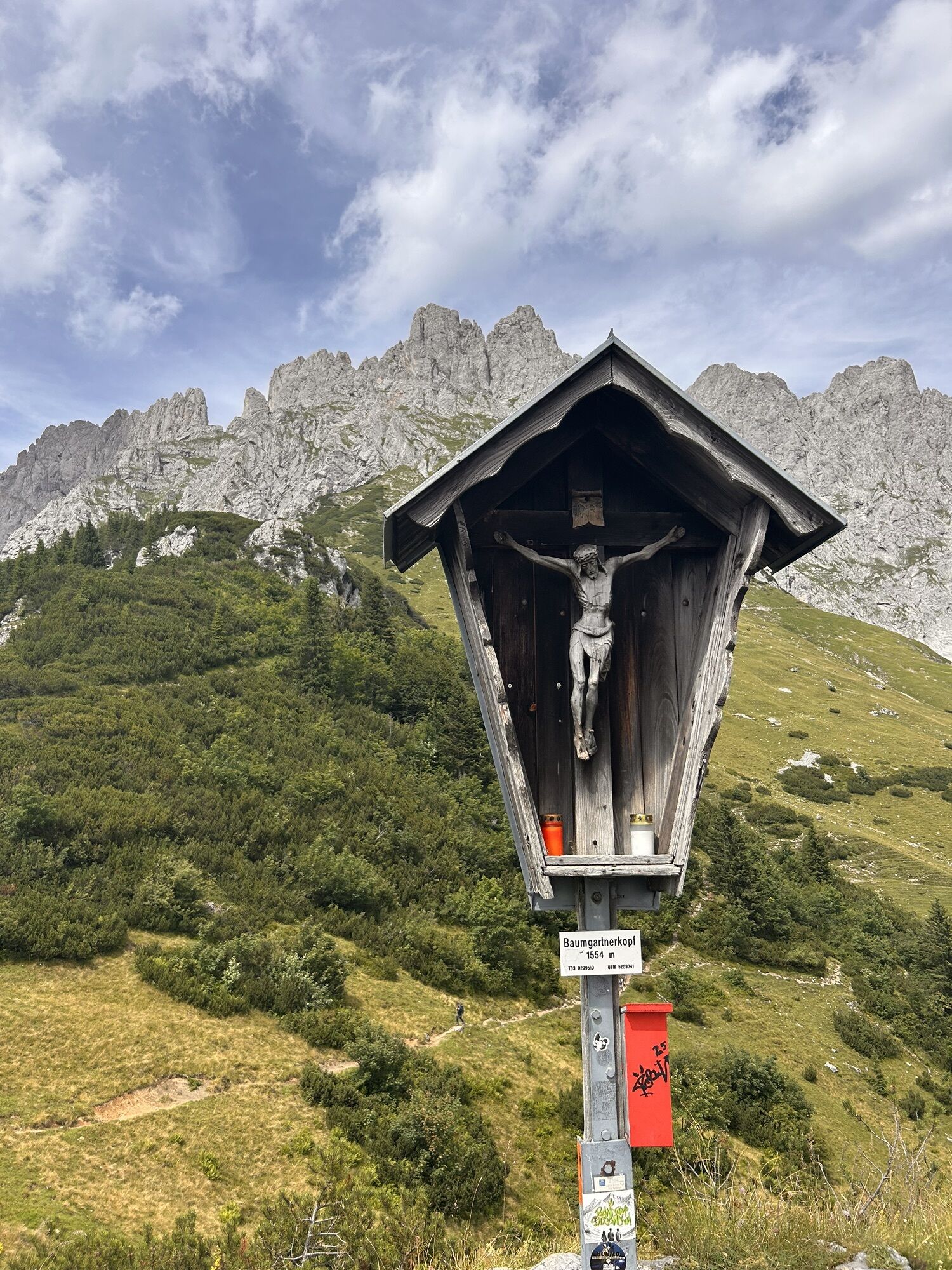
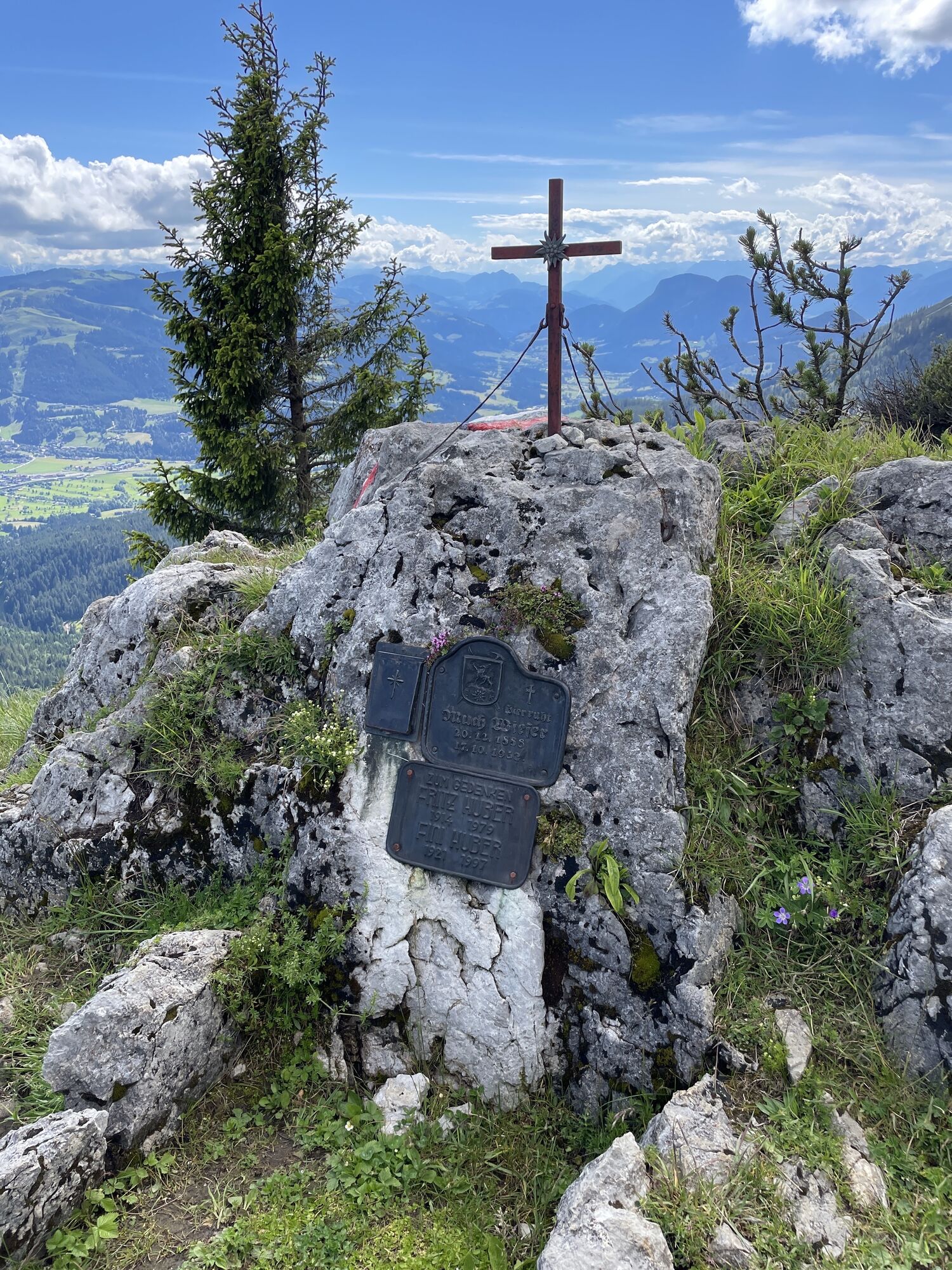
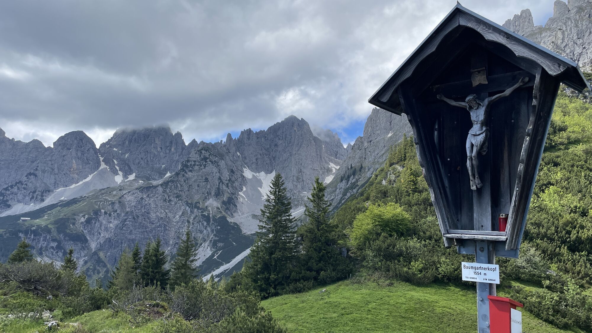
After a traverse, past a fountain, we continue to the Baumgartenköpfl. Here is also the famous "Bergsteigergrab", the mountaineer's grave in which the "Koasamuch" found his final resting place. The famous mountaineer of the "Edelweiss Guild" Much Wieser, born in Scheffau in 1888, campaigned for summit books on all the imperial peaks.
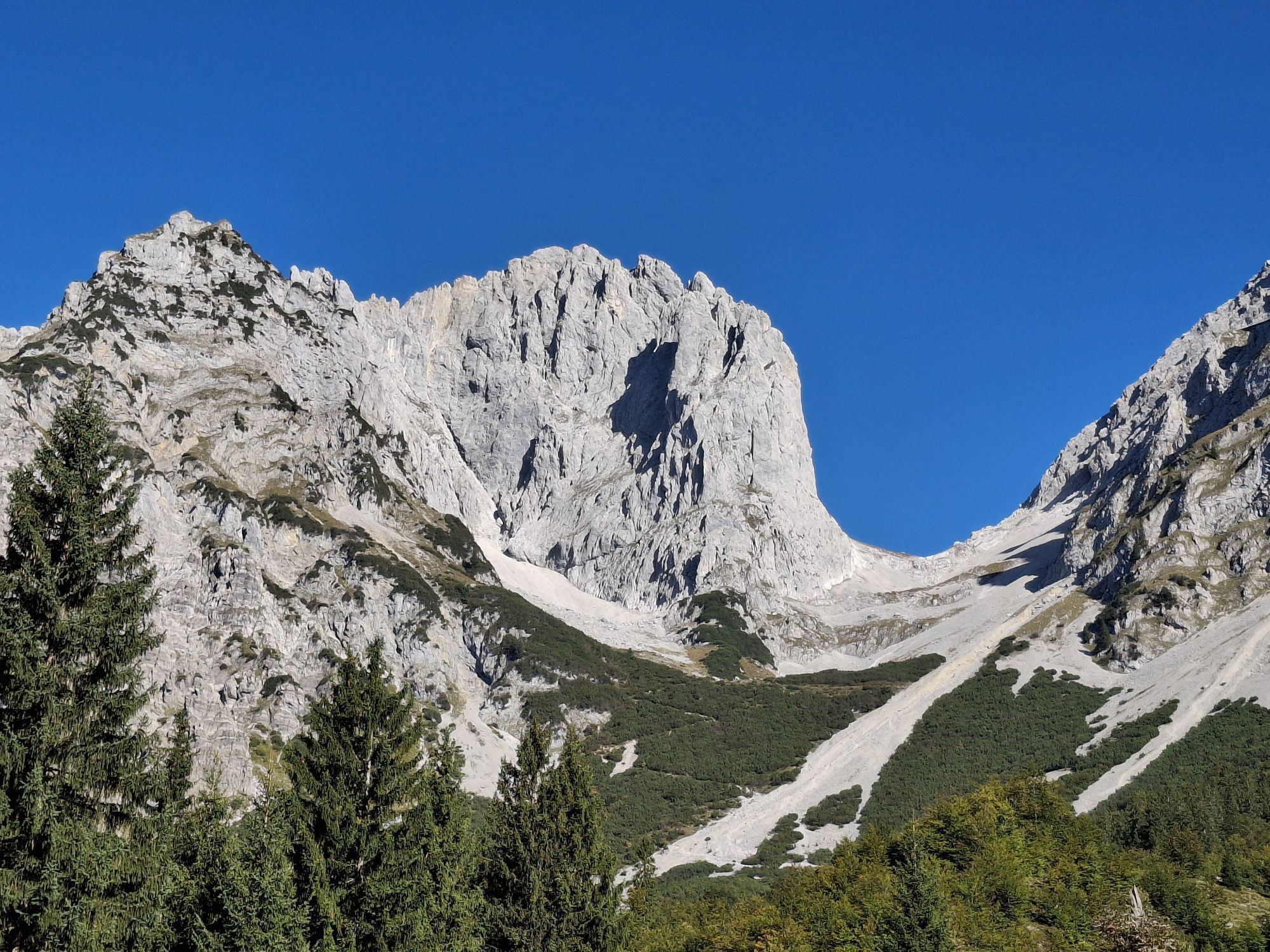
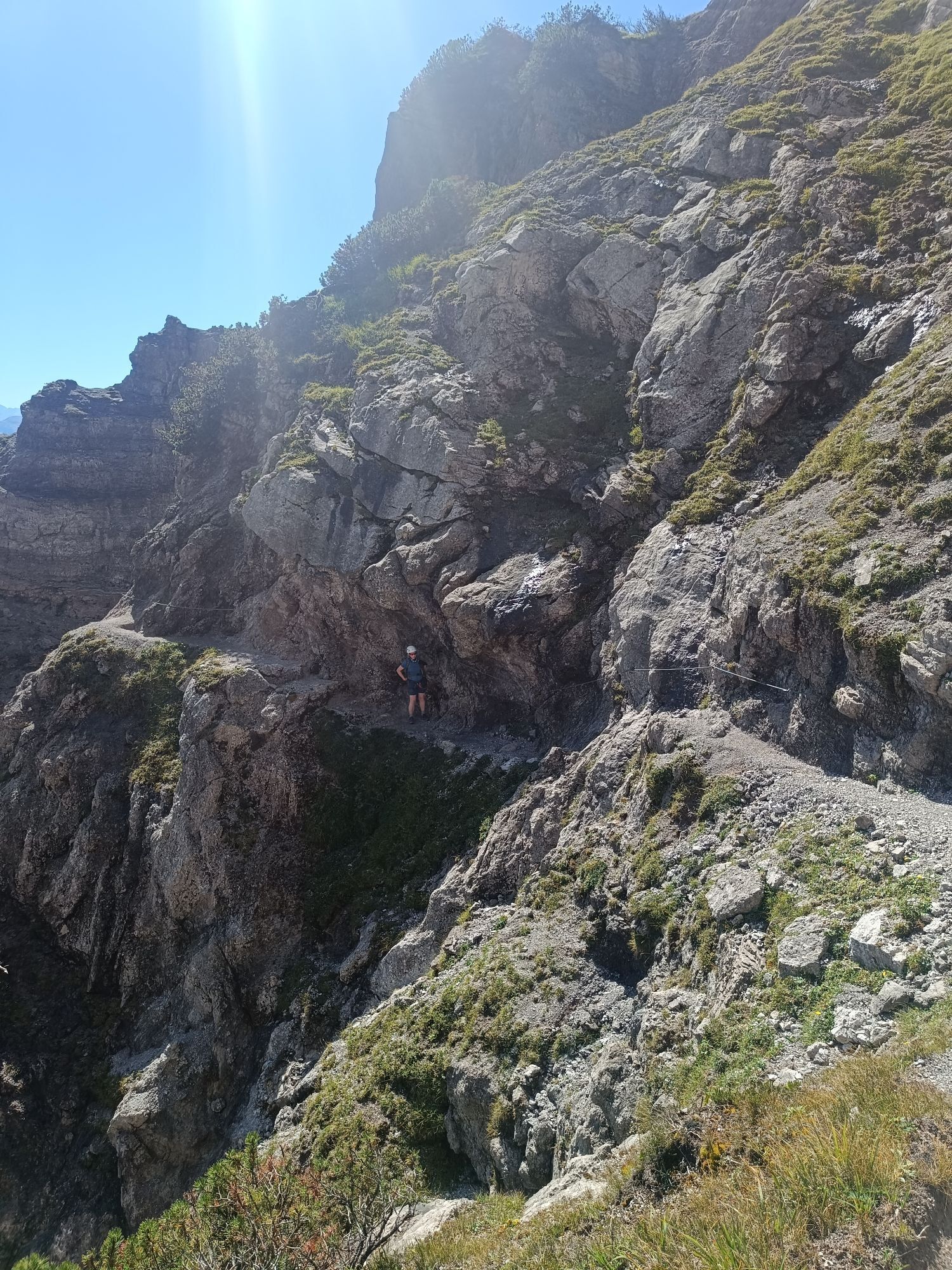
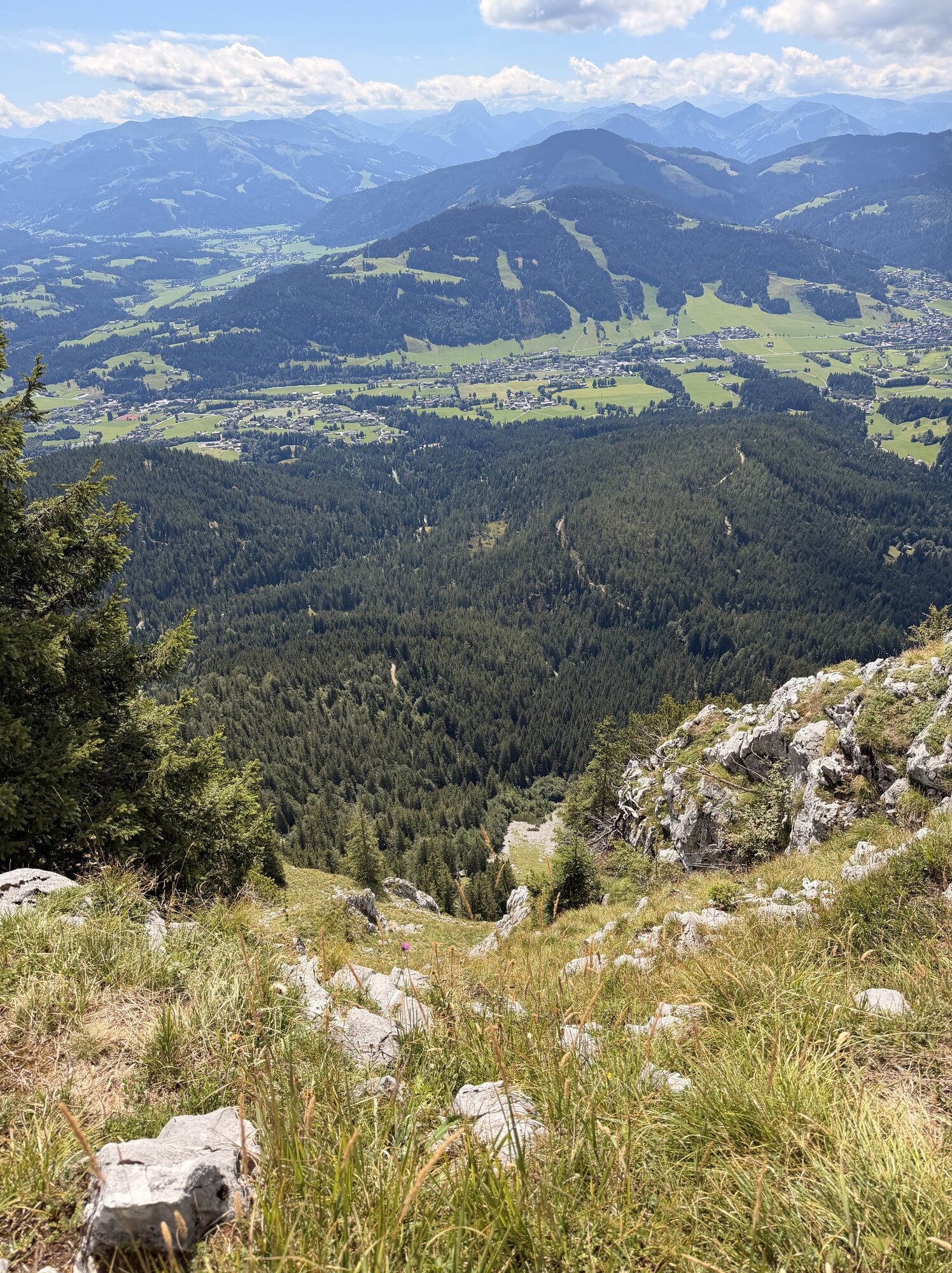
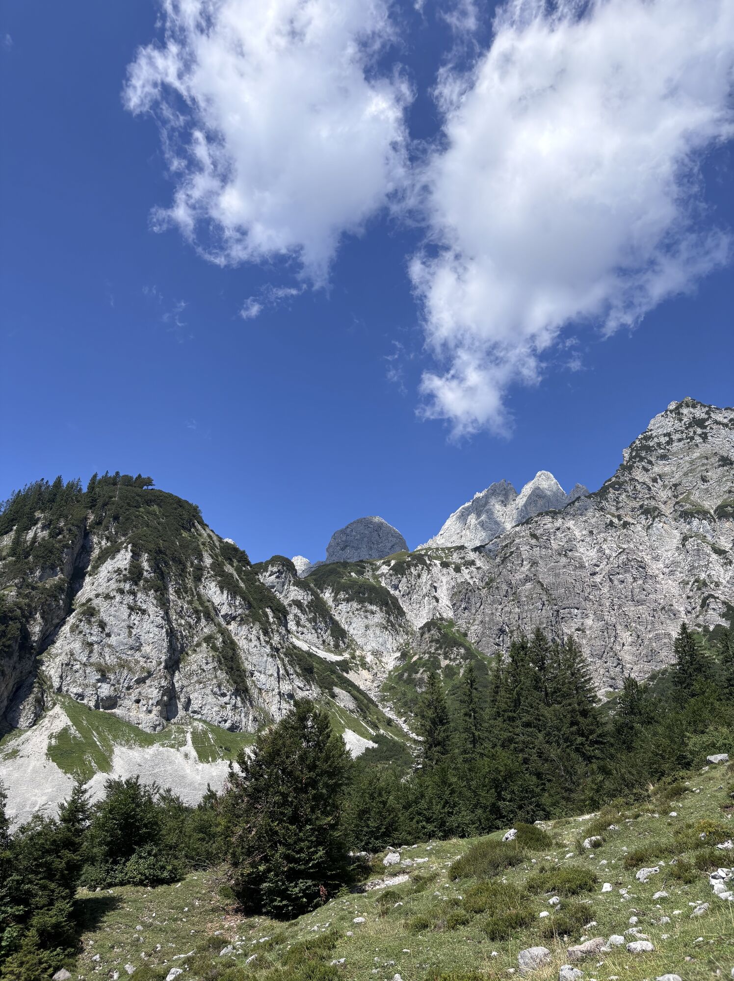
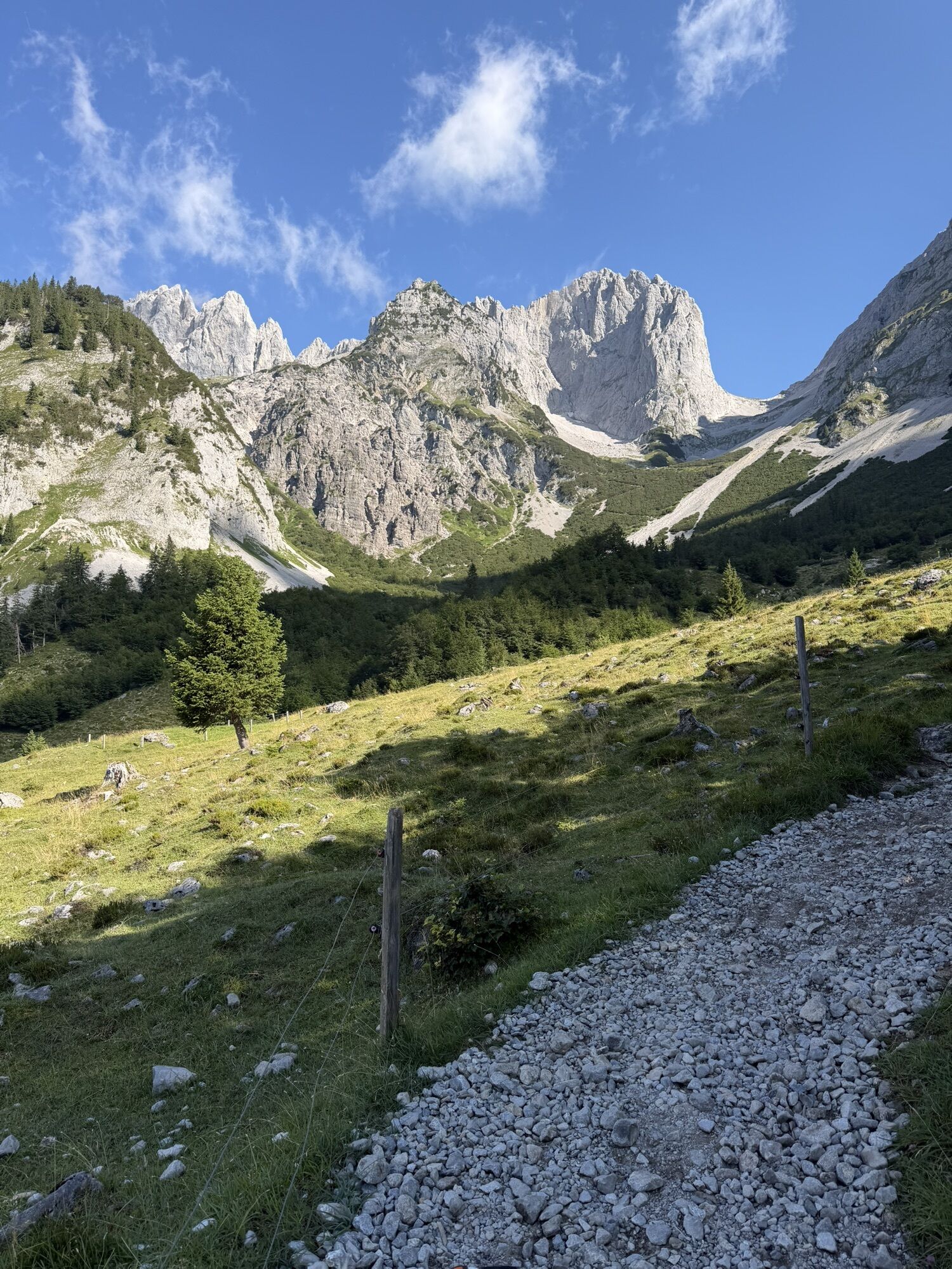
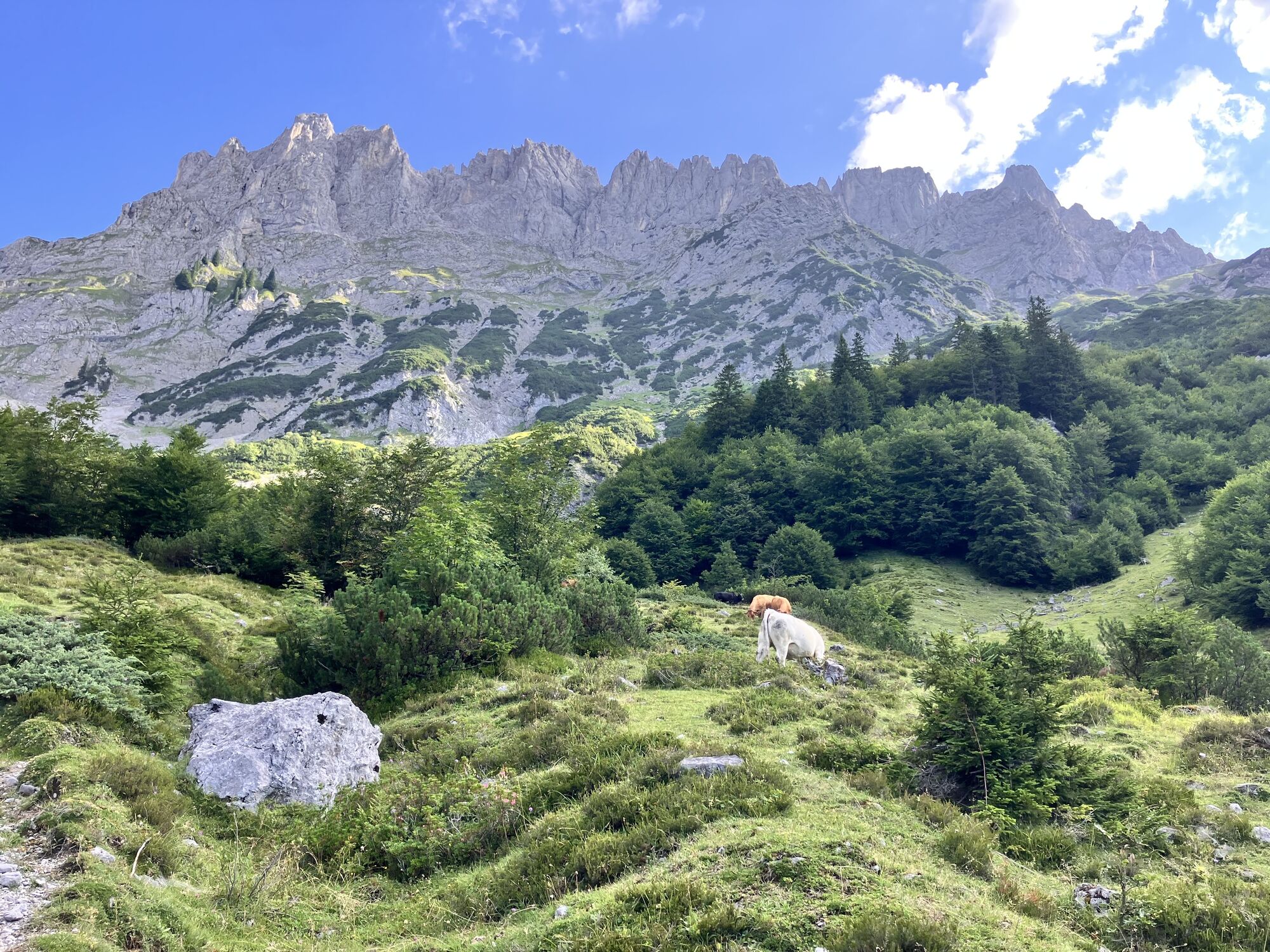
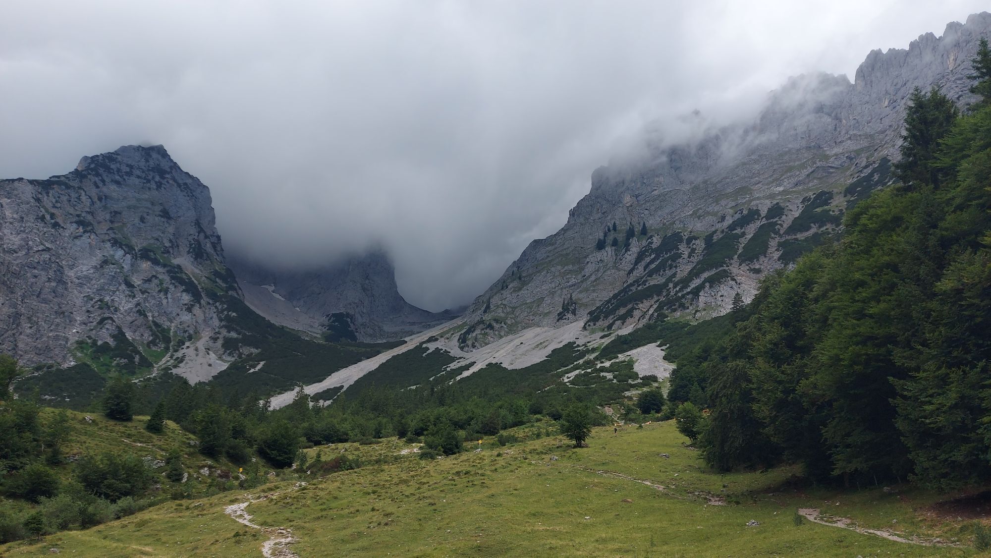
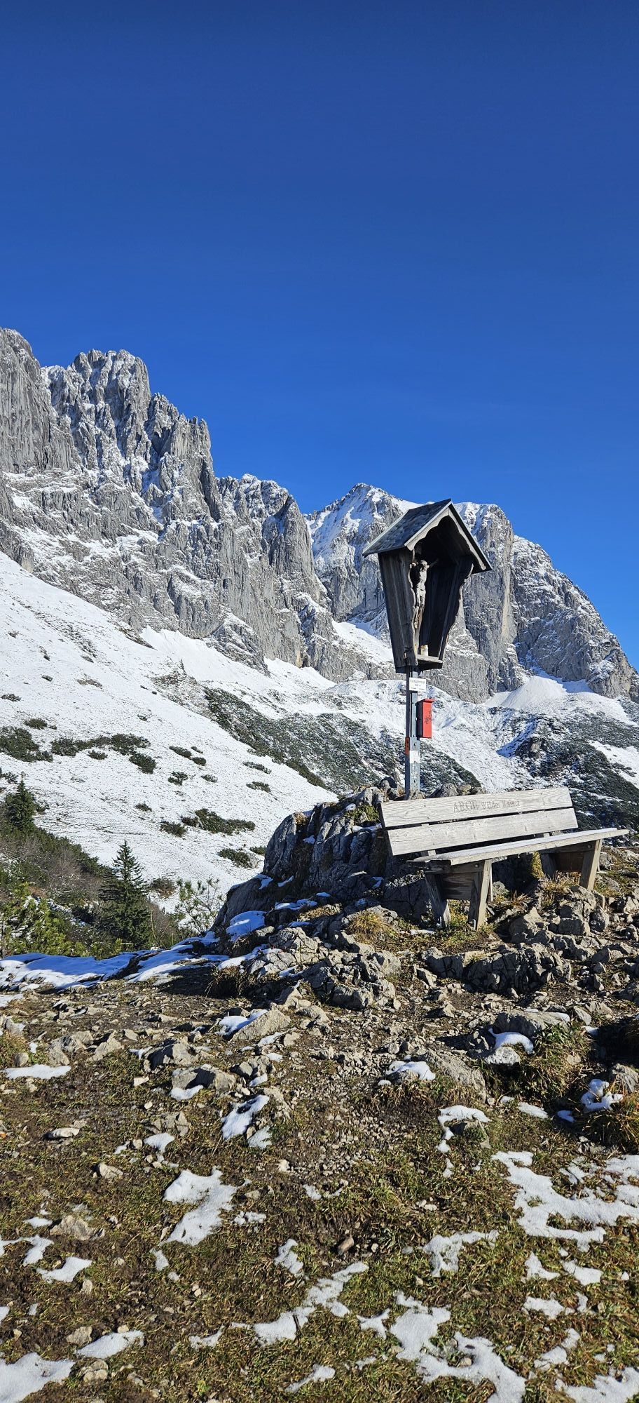
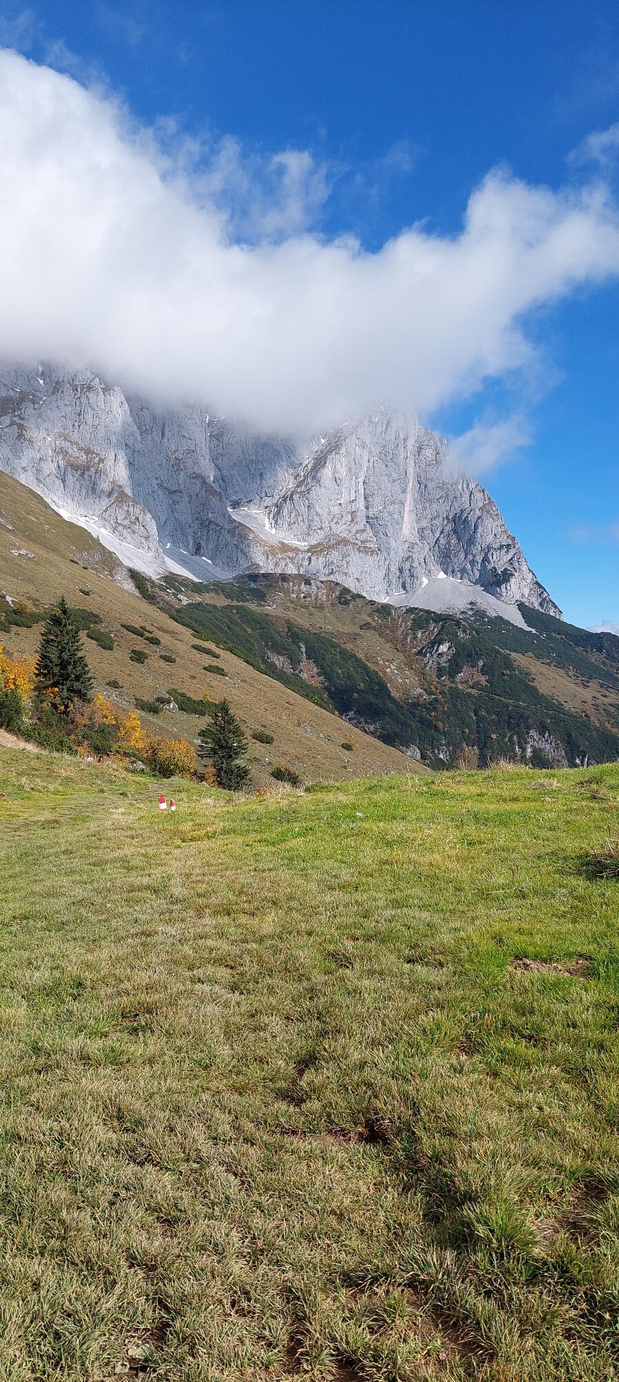
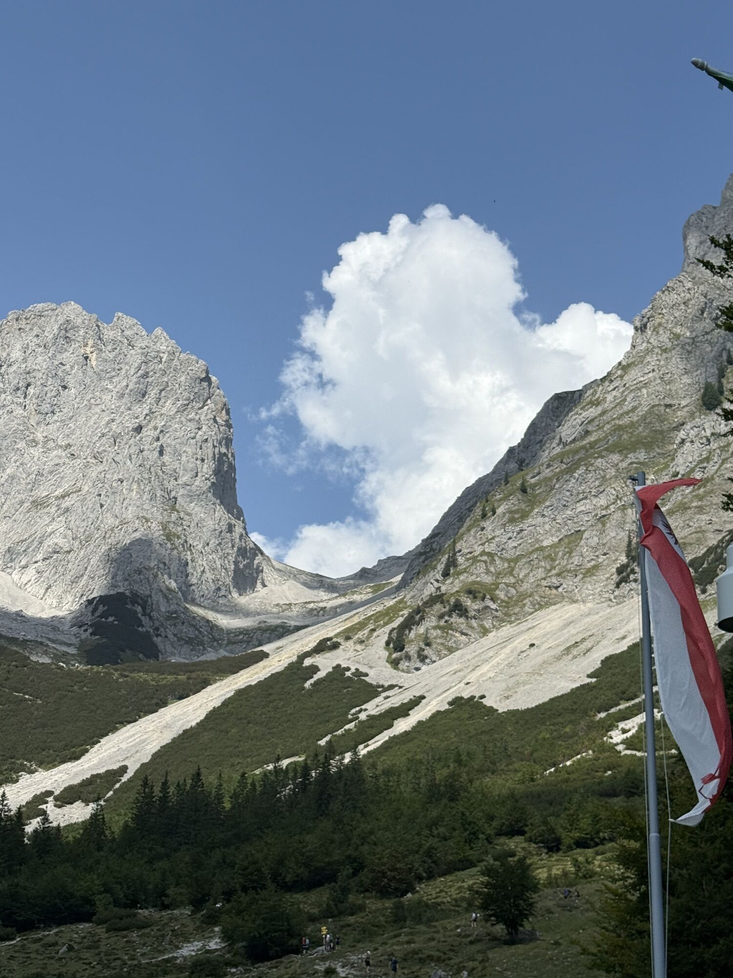
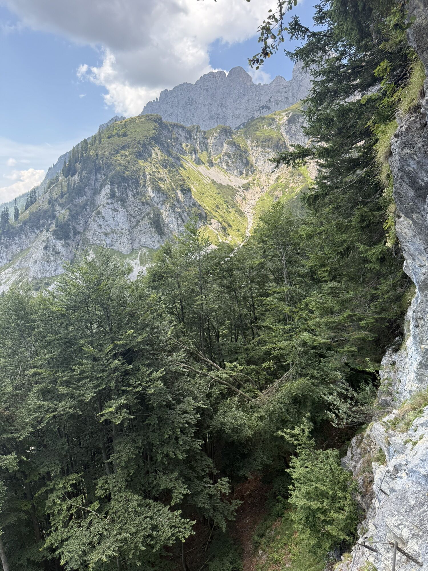
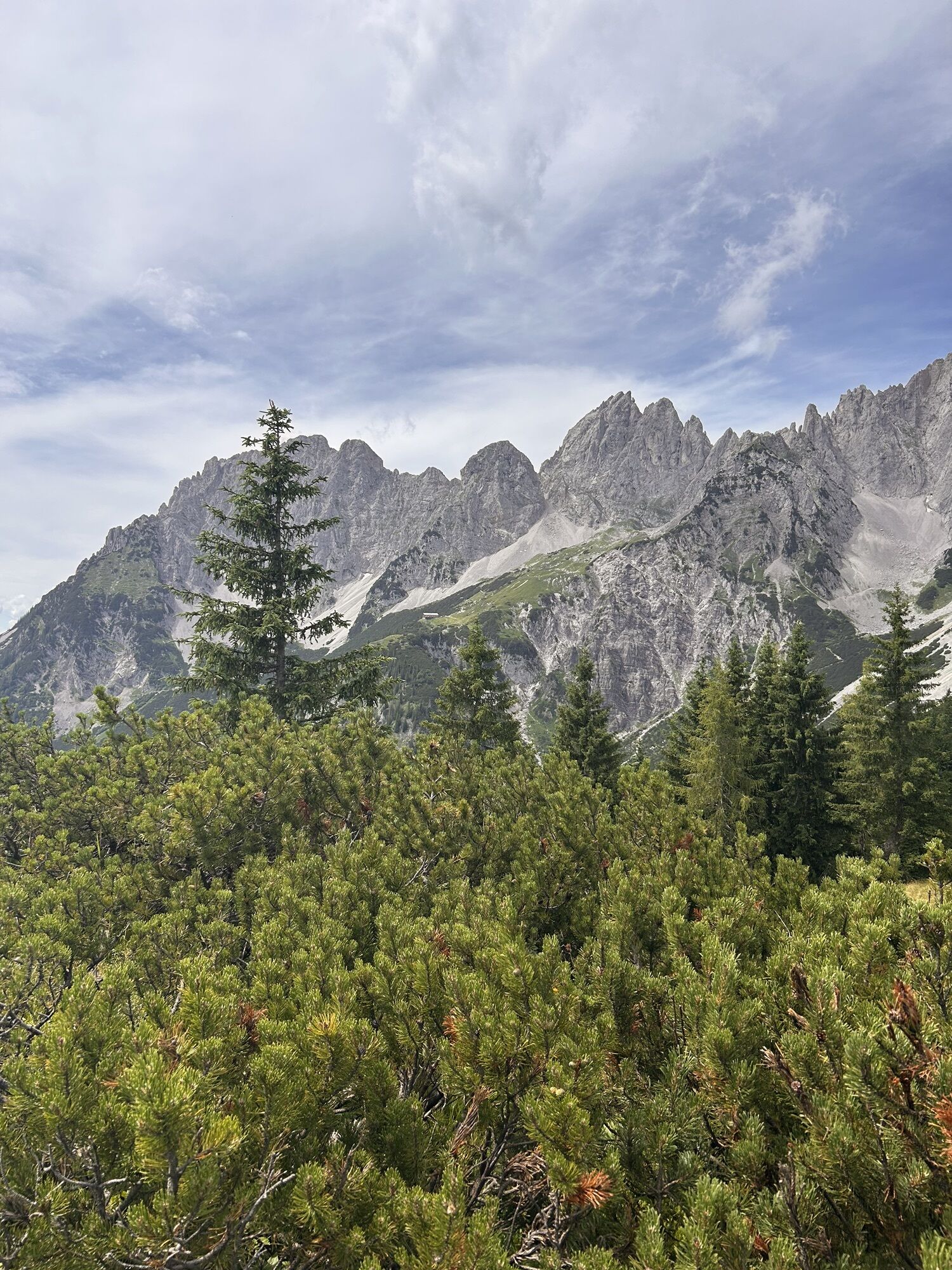
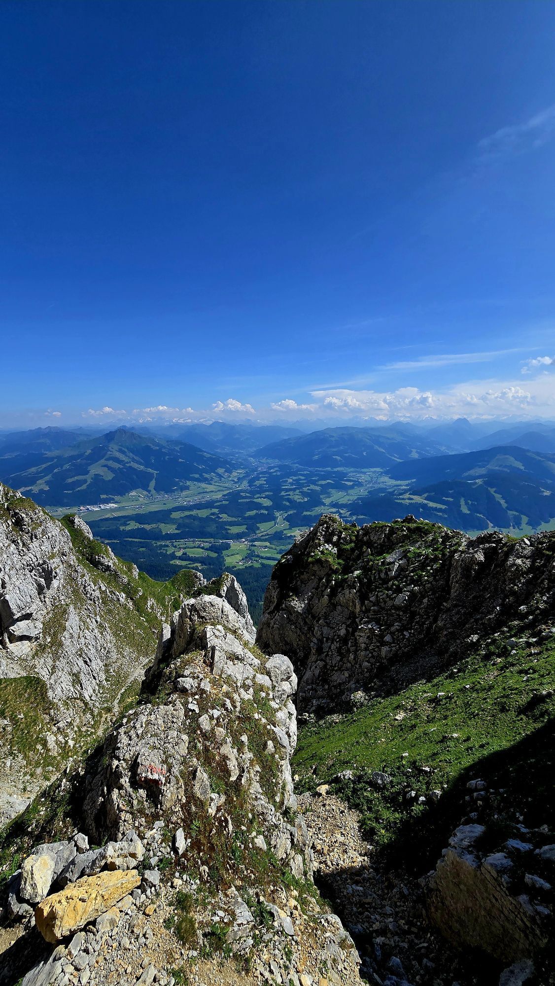
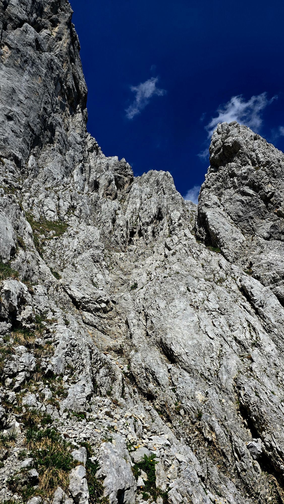
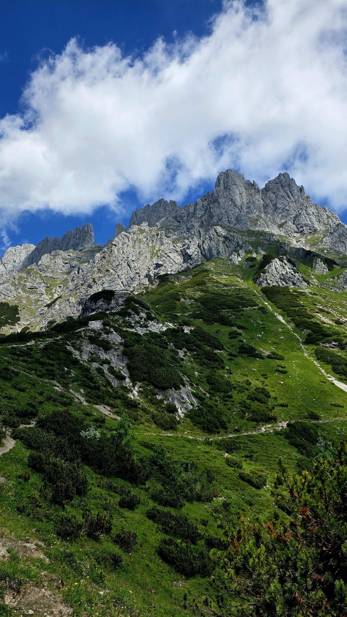
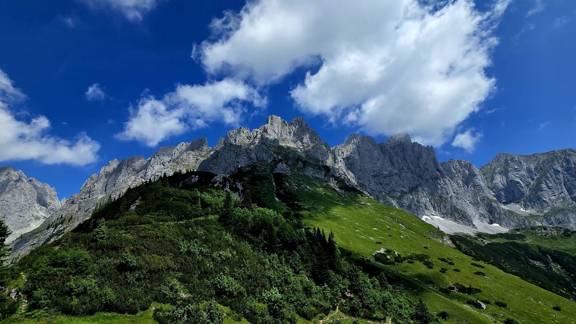
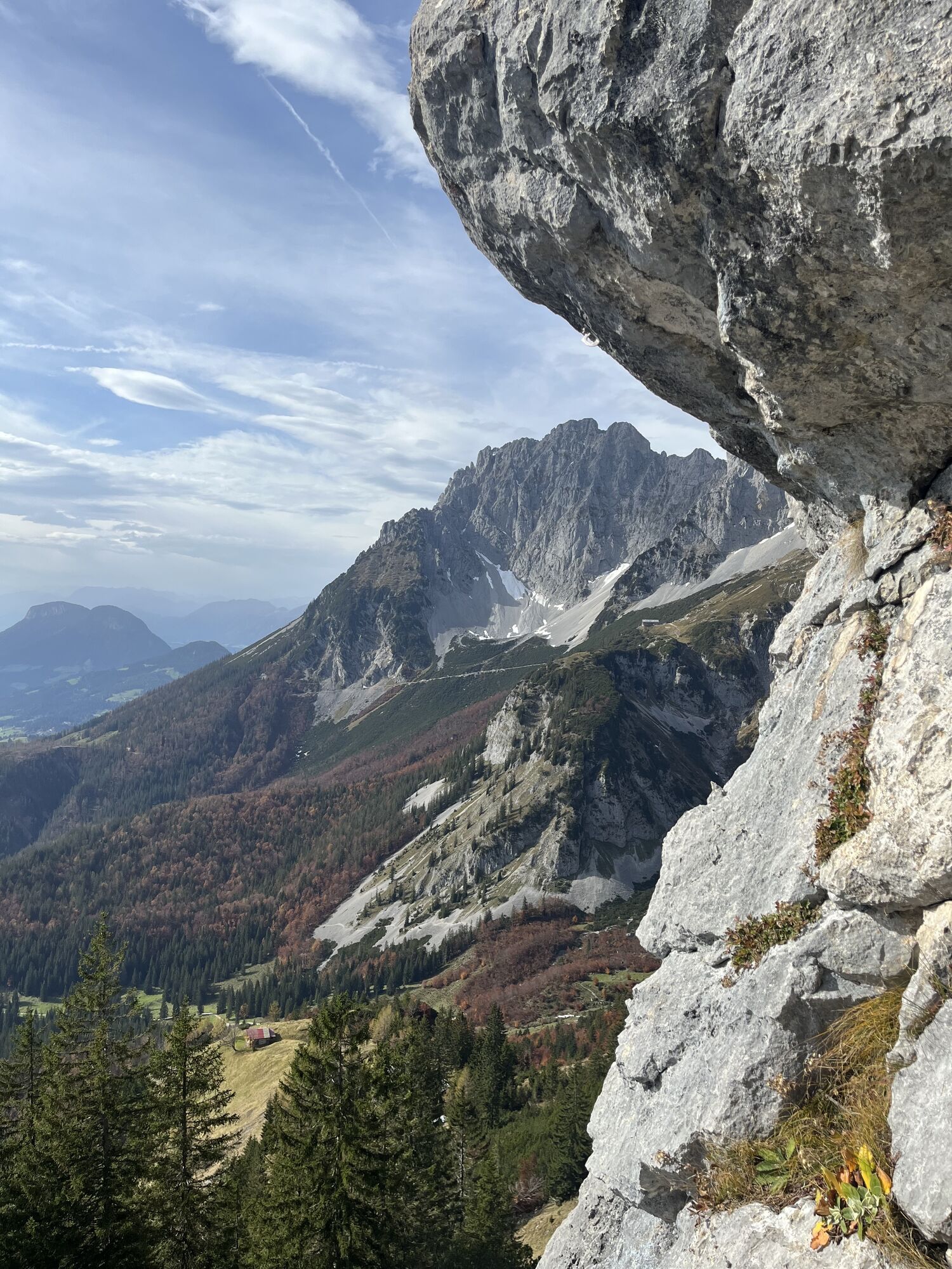
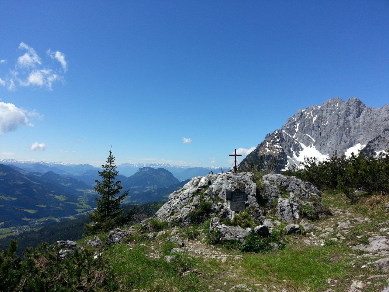
You follow trail no. 815 further north, past the Wilderer Kanzel - a unique viewpoint in the Wilder Kaiser. Across mountain pine and rocky terrain you climb in serpentines ever steeper towards the north. From here on, surefootedness and a head for heights are a prerequisite. On narrow paths you meander further and further to the rock walls and cross below the Törlwand rock face in a westerly direction to the crossing, the Kleiner Törl. From here, a fantastic deep view opens up to the north into the "inner life" of the Wilder Kaiser with the Kleinkaiser and the Mitterkaiser summits. Enjoy the tranquility and let the impressions work on you.
Descent:
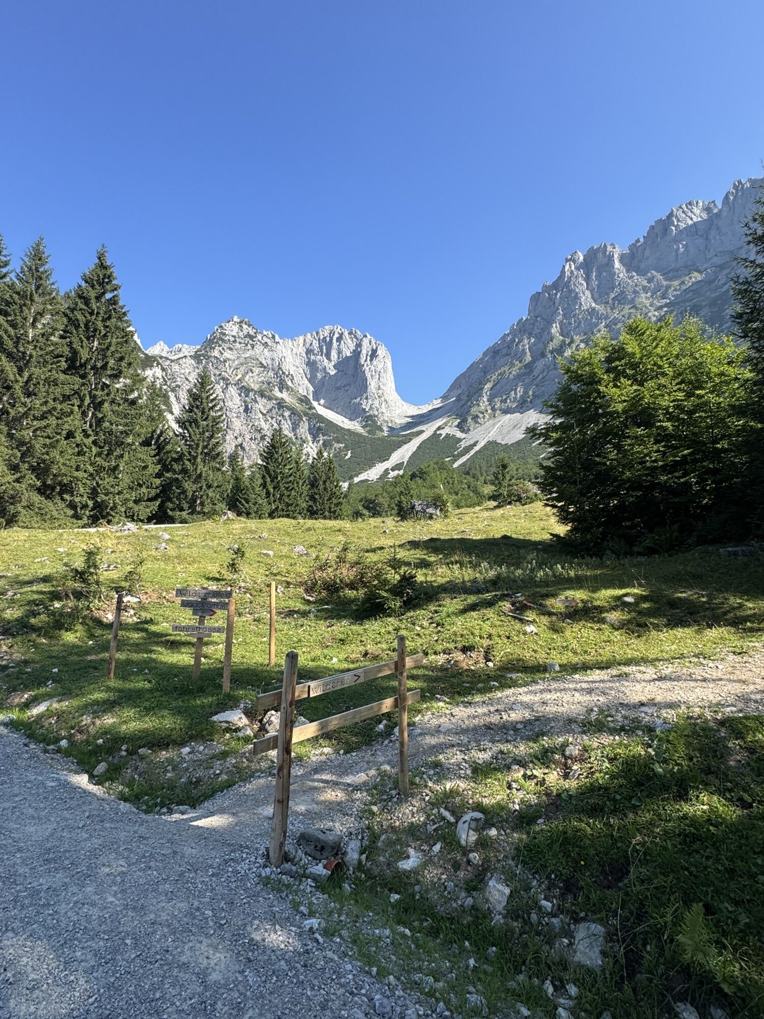
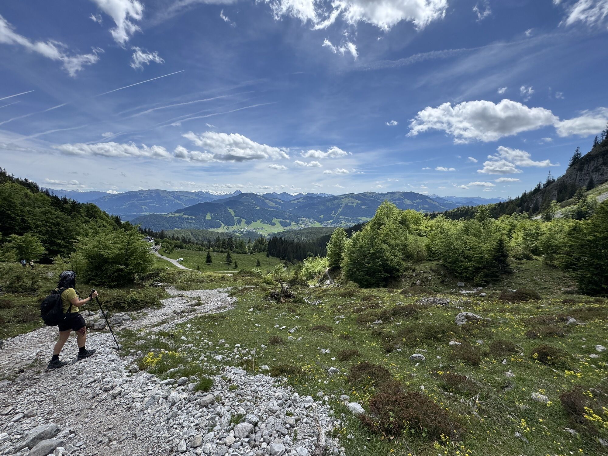
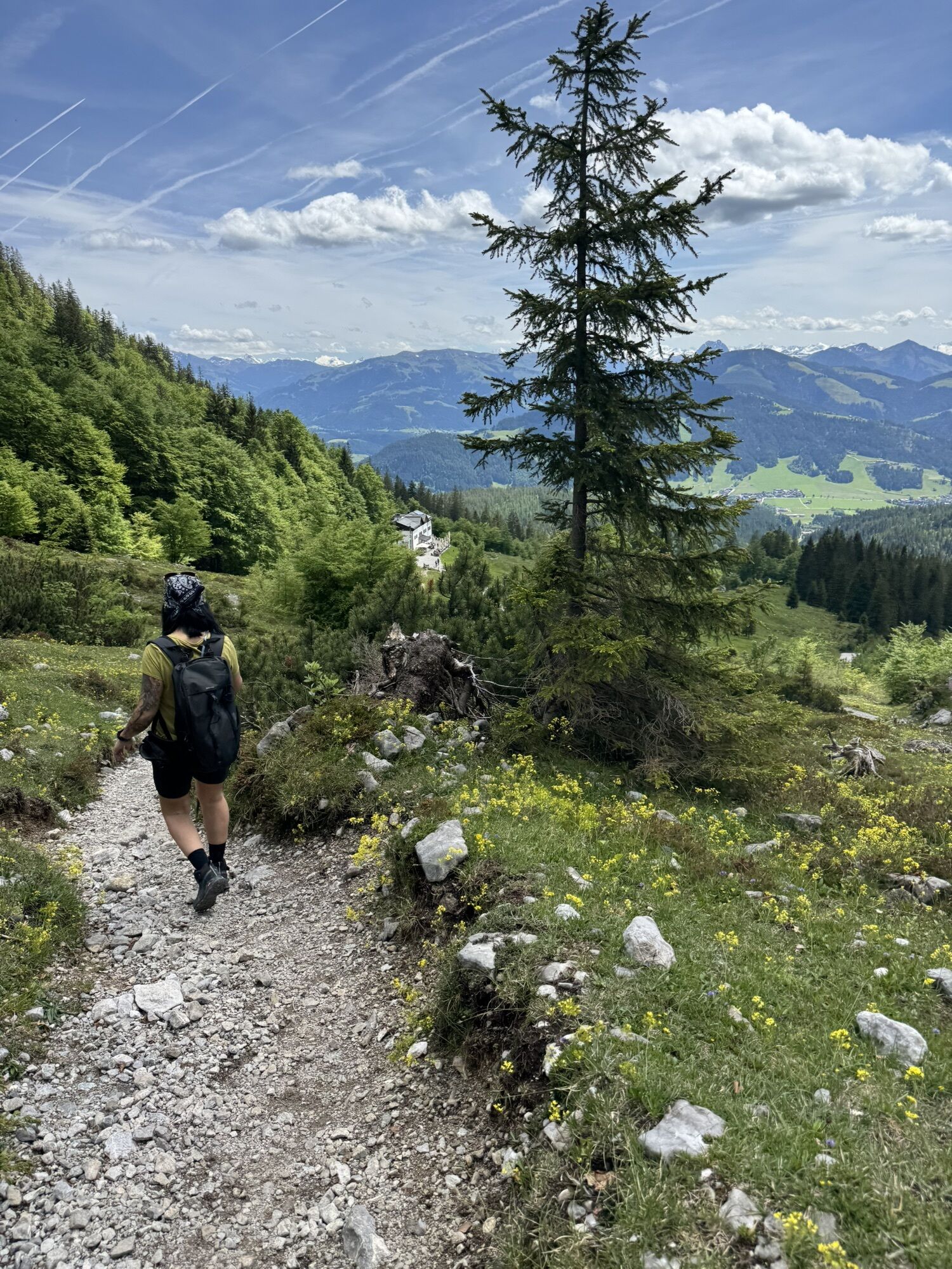
Sufficiently rested, you should then walk back along the same route until shortly before the Wilderer Kanzel. Here, you should turn west on to the Wilder-Kaiser-Steig trail no. 823 until you reach the turnoff that heads towards the Gaudeamushütte mountain hut. As of this point, you need to follow trail no. 824 all the way to the Gaudeamushütte. Afterwards walk south towards the hiking starting point in Tannbichl. Head via the Märchenwiese to reach the starting point.

Wilder Kaiser hiking map (1:25.000) is available in the tourist information centers Ellmau, Going, Scheffau and Söll for €6,90 or with Wilder Kaiser GuestCard for €6,00.
Rucksack, hiking/mountaineering boots, hiking gear (breathable), change of clothes, sun protection (sunglasses, sun cream, headgear), waterproofs (hardshell), cold protection (gloves and hat), water bottle, food for eating on the way, hiking poles if desired, first aid kit, plastic bag for waste, hiking map/route description (gpx track)
Heading from Wörgl or Kufstein on the B178 road, take the Going Prama exit before you reach the Stanglwirt hotel. Drive straight on along the road in the direction of the Kaisergebirge mountain range. After passing the last of the houses, keep to the right as you head towards the Kaisergebirge until you reach the hiking starting point and the car park.
More information at: www.wilderkaiser.info
It is a day car park, which means that no ticket can be purchased for several days. The parking ticket is therefore only valid on the day of issue!
Spletne kamere s turneje



Priljubljeni izleti v okolici
-
4.7
Kirchdorf: Zur geheimnisvollen Teufelsgasse
srednjaPohodništvo 7.90 km -
4.9
Kirchdorf: Kaiserbachtal - Stripsenkopf und Feldberg
težkoPohodništvo 12.6 km -
4.3
Erpfendorf: Griesbachklamm
srednjaPohodništvo 10 km -
4.9
Schleierwasserfall Runde
srednjaPohodništvo 5.63 km -
4.9
Gruttenhütte über Klammlweg
srednjaPohodništvo 5.61 km -
4.4
Kitzbüheler Horn über Horn-Gipfel-Höhenweg
srednjaTematska pot 5.30 km -
5.0
Kirchdorf: Stripsenjoch Klettersteige
težkoVia ferrata 3.76 km -
4.8
Kössen - Wetterfahne - Naringalm - Kössen
srednjaPohodništvo 11.0 km -
4.8
Rehbachklamm
srednjaPohodništvo 7.27 km -
4.8
Streif Wanderweg
srednjaPohodništvo 5.73 km
Pohodništvo in sledenje


Ne zamudite ponudb in navdiha za naslednje počitnice
Vaš e-poštni naslov je bil dodan na poštni seznam.





