







Hike - Zigeunerrunde Zella-Mehlis - Thuringian Forest

Stopnja težavnosti: T2
The hike starts in the Zella-Mehlis district Benshausen, Ebertshausen bus stop. Via the Leng Valley, after 1.2 km you reach the first board, here turn right and, passing the second board, arrive at Eichengarten....
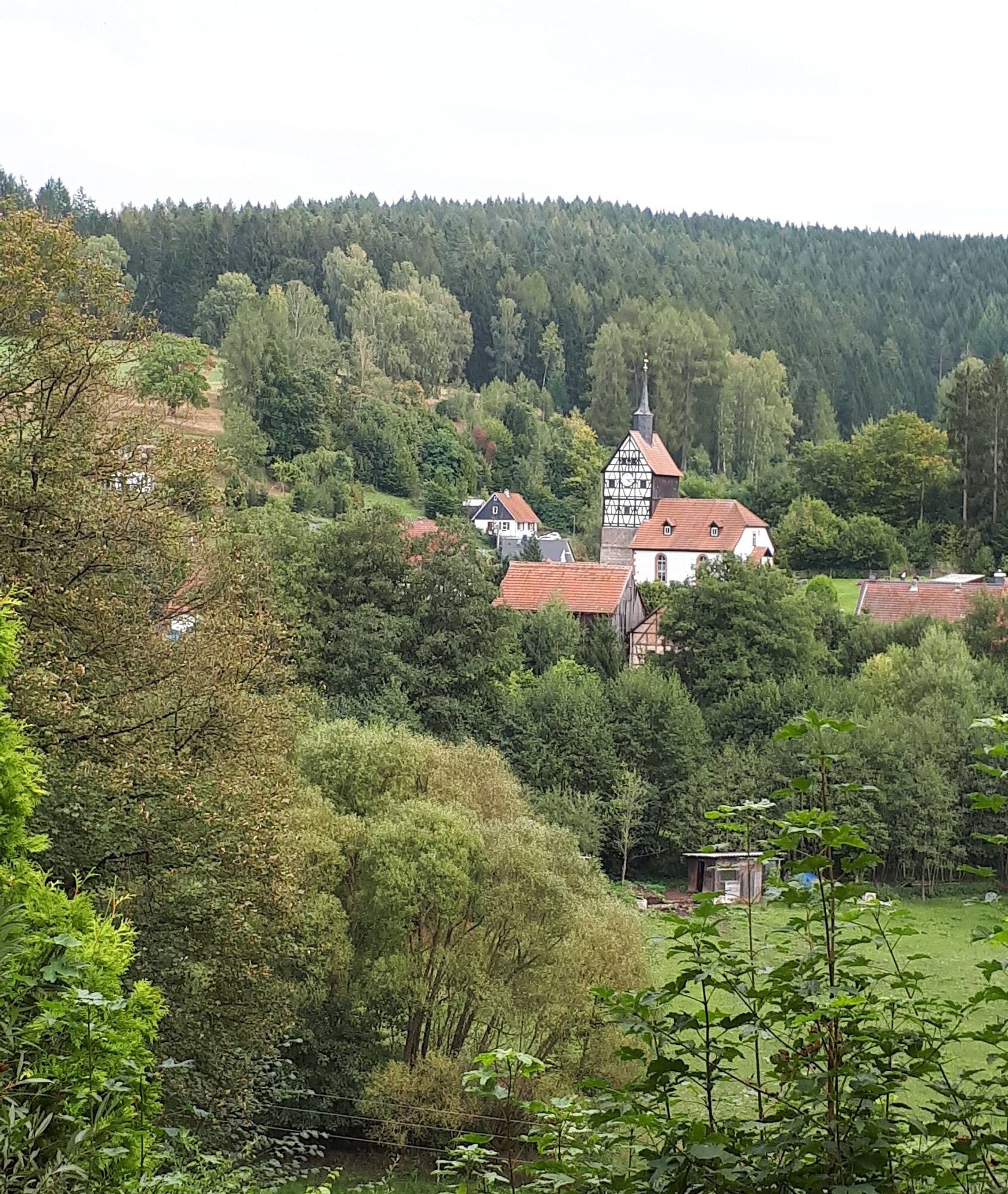
The hike starts in the Zella-Mehlis district Benshausen, Ebertshausen bus stop. Via the Leng Valley, after 1.2 km you reach the first board, here turn right and, passing the second board, arrive at Eichengarten. The trail now briefly follows the motorway. On the path over Osterkuppe to Schwarza, it becomes quieter again and you can enjoy the view of the Dolmar. Schwarza is crossed passing the castle. Via Lodenberg, you reach the Ebertshausen Heights and return to the starting point.

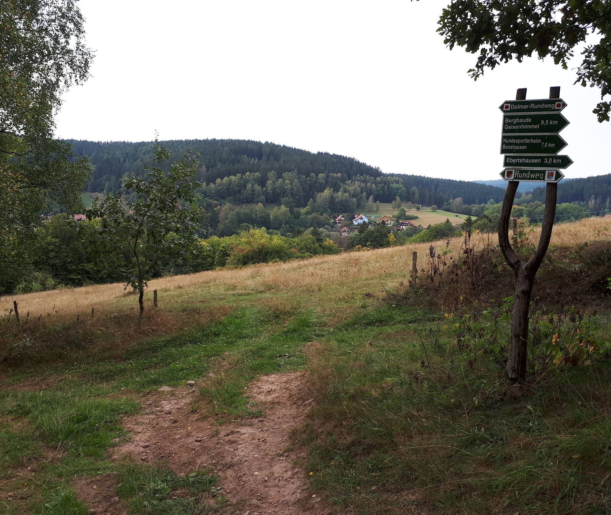


Ebertshausen Bus Stop - 1st Board - 2nd Board - Eichengarten - Streitschlag Motorway Bridge - Osterkuppe - via Rennsteig-Dolmar Trail to Schwarza - Schwarza Castle, then turn right into Königsbergstraße - Lodenberg - Ebertshausen Heights - Ebertshausen Bus Stop
Hiking clothing, sturdy shoes, and a backpack with provisions if needed
Avoid stepping on moss-covered stones due to the risk of slipping and watch out for deadwood, branches, etc.
Coming from the A71, exit 18 (Oberhof) or 19 (Suhl/Zella-Mehlis). Drive towards the town center, then follow signs to Markt Mehlis (possibly visit the Tourist Information), continue to the district Benshausen/Ebertshausen (towards Schwarza)
Location Ebertshausen
T2
Along the way, you can see a protected archaeological monument. An information board provides details about the Bronze Age burial mound field, which was created there from 1600-1200 BC.
Priljubljeni izleti v okolici
-
4.0
Circular hiking route "Oberschönauer Felsenwanderung" - Steinbach-Hallenberg - Thuringian Forest
težkoPohodništvo 12.0 km -
4.5
Circular hiking route - EXTRATOUR - The Meininger
srednjaPohodništvo 10.8 km -
4.0
Zu den Schanzen im Kanzlersgrund
srednjaPohodništvo 9.58 km -
4.5
Circular hike to Bärenstein & Pfanntalsteich
srednjaPohodništvo 9.10 km -
4.2
Circular hiking route - "Zunft & Kloß" - Zella-Mehlis - Thuringian Forest
težkoTematska pot 6.83 km -
Circular hiking route - Ruppberg - Thuringian Forest
srednjaPohodništvo 11.4 km -
5.0
Tour 1: Oberhofer Sportstätten und Schneekopf
svetlobaMountainbike 31 km -
4.5
Legend hiking trail to Ruppberg - Zella-Mehlis - Thuringian Forest
srednjaTematska pot 1.34 km -
4.0
Hike - Rennsteig - Stage 3 - From Ebertswiese to Grenzadler
srednjaPohodništvo 17.4 km -
3.3
Hike - "Rennsteig Ladder Zella-Mehlis" Thuringian Forest
srednjaPohodništvo 6.67 km

Pohodništvo in sledenje


Ne zamudite ponudb in navdiha za naslednje počitnice
Vaš e-poštni naslov je bil dodan na poštni seznam.





