







Circular trail - Alte Tränke - Rennsteig - Thuringian Forest
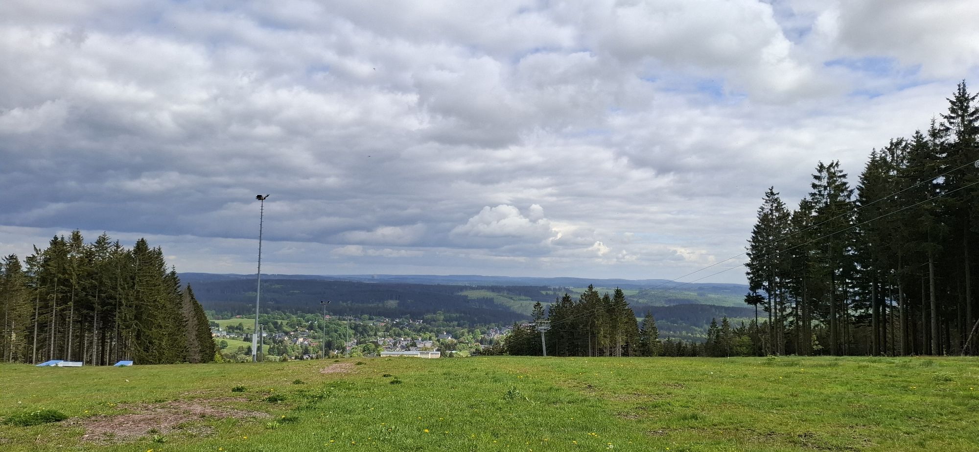
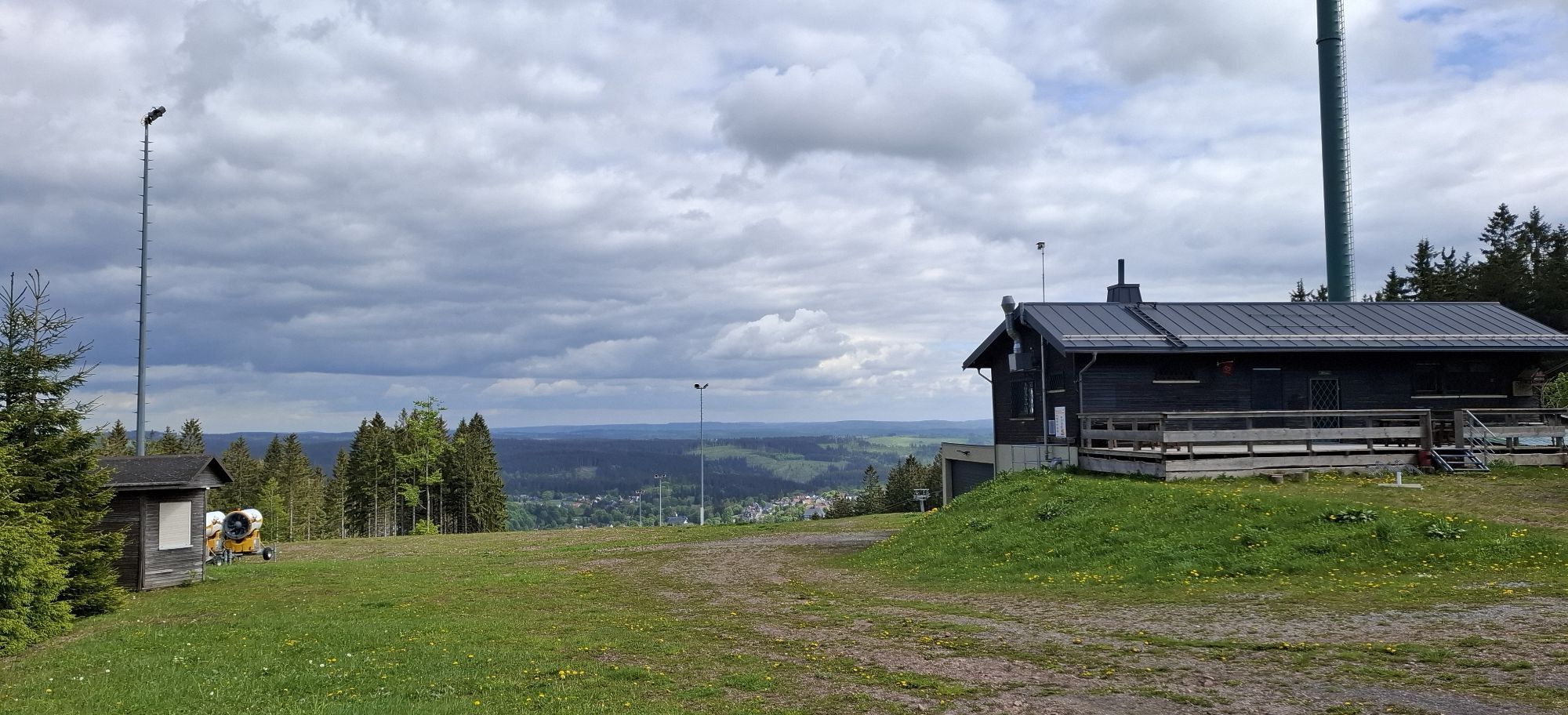
The circular trail passes through Germany's oldest UNESCO biosphere reserve and captivates with its unique naturalness in the Thuringian Forest.
In the three zones of the protected area, it is "naturally"...
The circular trail passes through Germany's oldest UNESCO biosphere reserve and captivates with its unique naturalness in the Thuringian Forest.
In the three zones of the protected area, it is "naturally" beautiful: the blossom-rich meadow valleys, the multicolored mountain meadows, the sunlit beech forests, the primeval-like mountain mixed forests with dense ferns and gently babbling springs that become crystal-clear refreshing mountain streams.
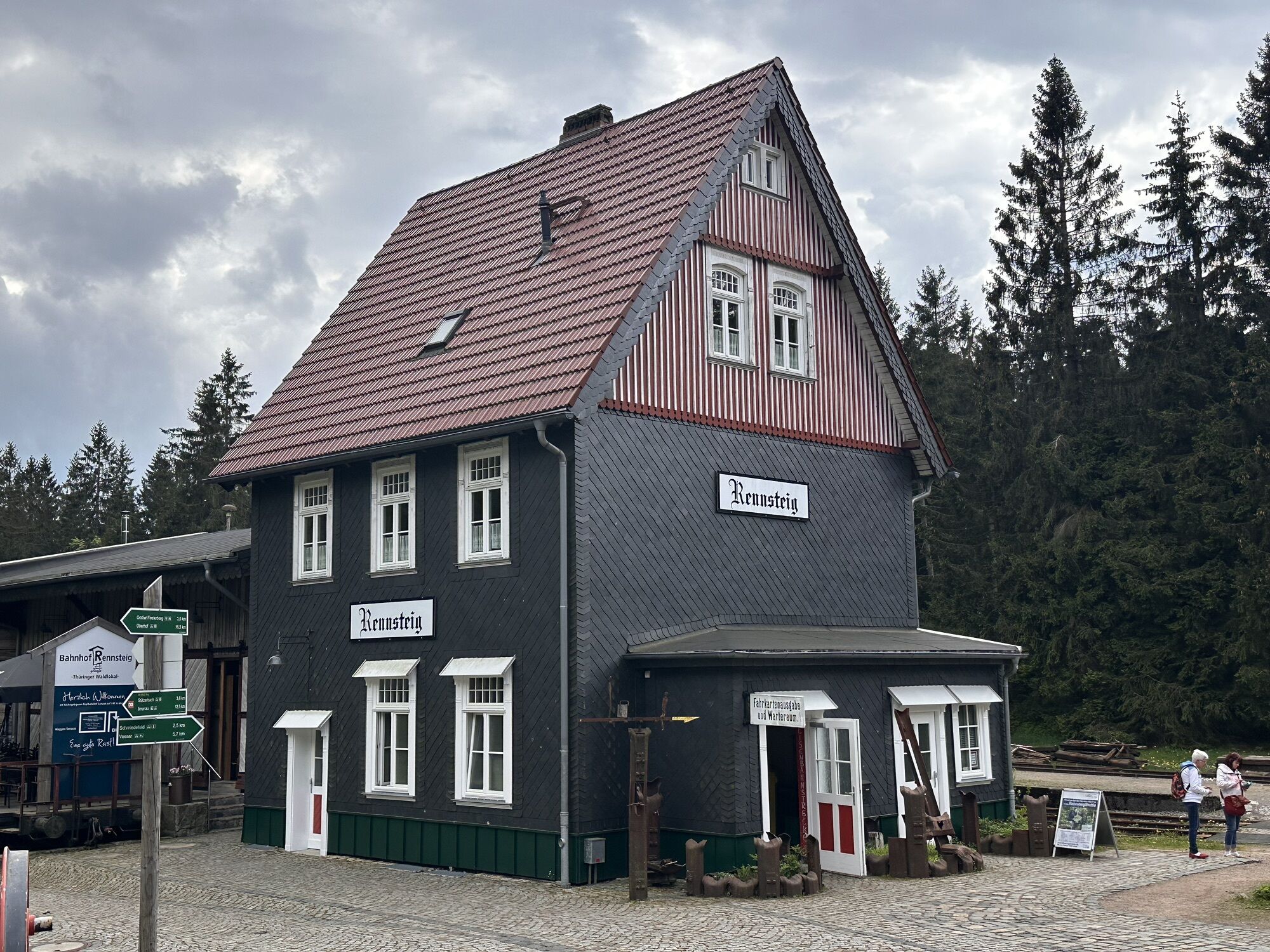
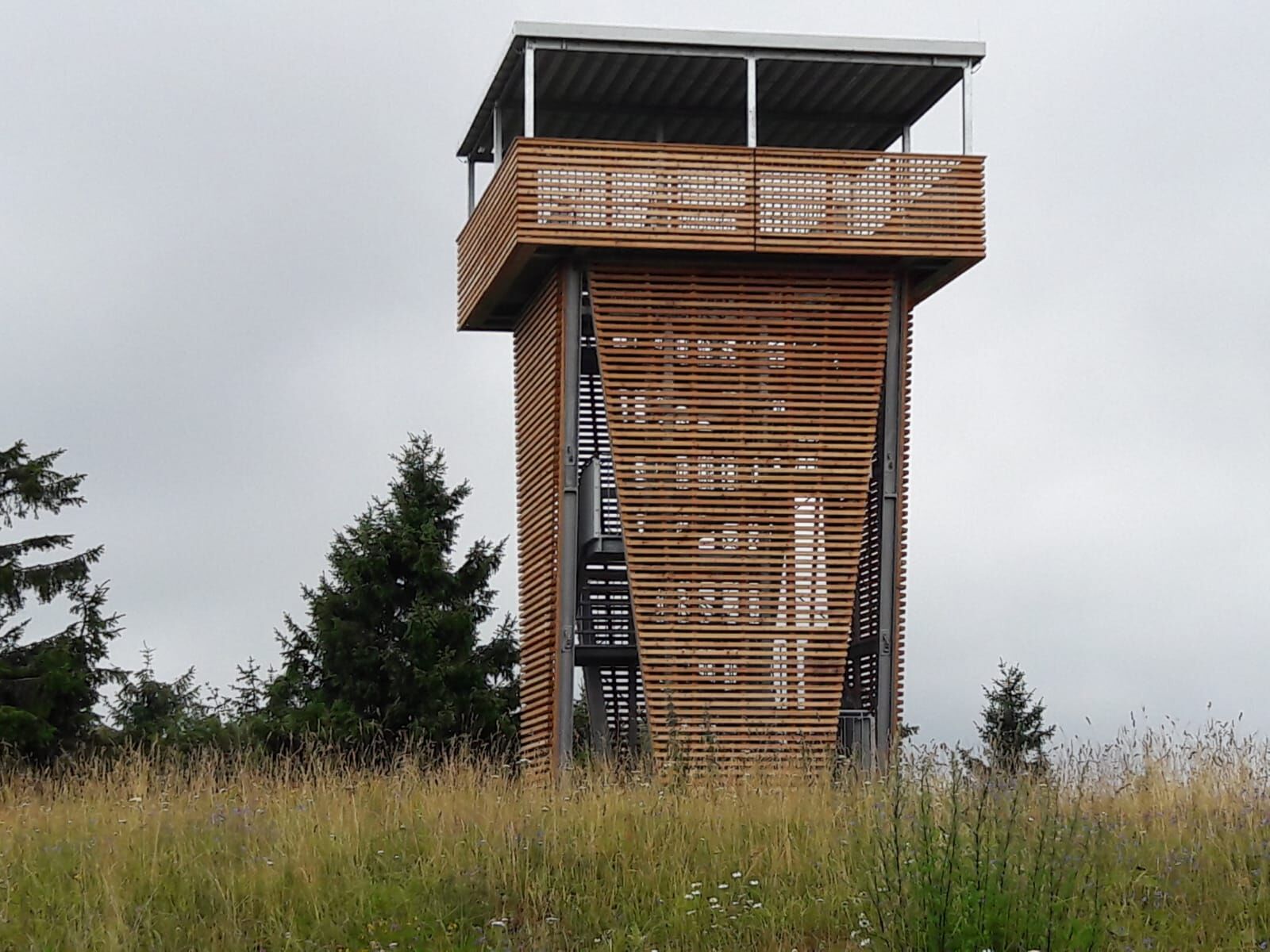
The round trip initially leads to the Rennsteig hiking trail from Schmiedefeld to Alte Tränke. Beforehand, a detour to Gr. Finsterberg (944m) with its new lookout tower is worthwhile. Also worth seeing is the Schmiedefeld view. The route then continues to Rennsteig Station. Here a stop at the "Thuringian Forest pub" is possible.
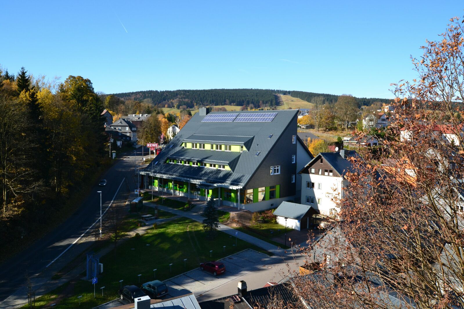
From the Rennsteig parking lot, the circular hiking trail leads back to Schmiedefeld via Heimig, returning to the starting point "Alte Post", where the Poacher's Museum is located.
This circular route with its natural character holds a special place among the hiking trails in the Thuringian Forest.

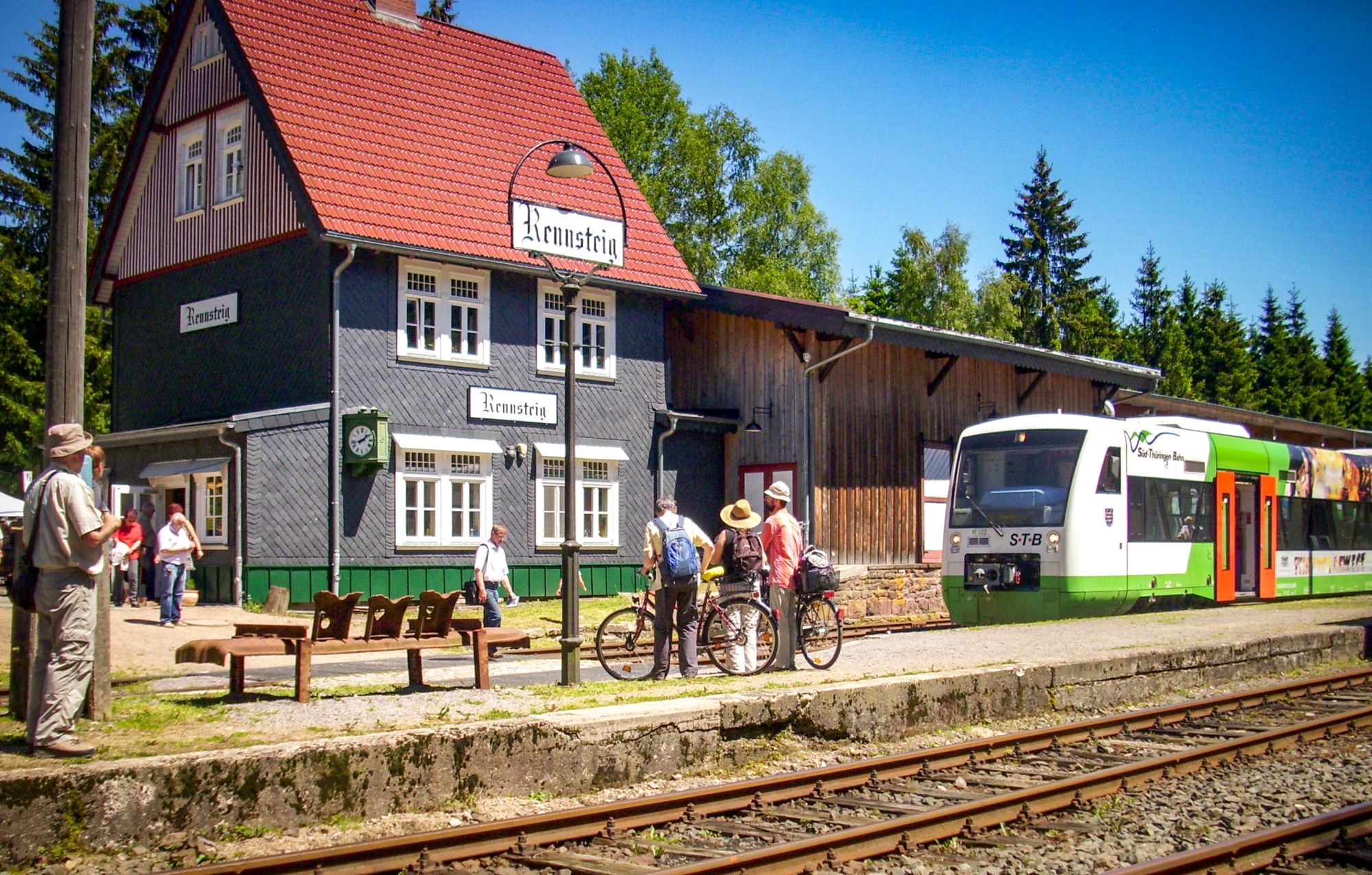



Starting point "Alte Post" (Poacher's Museum) Suhler Chaussee corner Herrengartenstraße - Gablenzbach - "Beautiful View"/Schmücke Street/Hotel am Eisenberg - Crossroads - Alte Tränke - Rennsteig - Rennsteig Station/Platform 1 (refreshments) - Rennsteig/Parking lot - Heimig - Tourist Information/Biosphere Reserve Info Center - "Alte Post"
Da
Da
sturdy footwear
rainwear
first aid kit
GPS device or smartphone
drink supply
Please be aware of typical forest hazards and follow the instructions of ThüringenForst staff. Always remember that you are not only in a nature reserve but even in a biosphere reserve. The use of open fire is strictly prohibited throughout the Vessertal area. Also, disposing of waste is only allowed at designated spots (rest areas with trash bins).
Coming from the A71, exit 16 (Ilmenau West) and continue on L3004 towards Ilmenau. Follow the road through the town and continue on L3004 towards Stützerbach / Schmiedefeld am Rennsteig. At the Rennsteig crossing, continue straight towards Schmiedefeld am Rennsteig / Suhl. You reach the town via Alte Ilmenauer Straße / Fritz-Arno-Wagner-Straße / Brunnenstraße / Suhler Chaussee.
Coming from the A73, exit 4 (Schleusingen) and continue on L3004 towards Hinternah-Schleusingerneundorf-Schmiedefeld am Rennsteig. You reach the starting point via Engertalstraße / Fritz-Arno-Wagner-Straße / Brunnenstraße / Suhler Chaussee.
You can reach Schmiedefeld am Rennsteig by bus from Ilmenau (line 300 IOV) or from Suhl (line K towards Vesser). For travel planning, please use this link to the Deutsche Bahn journey planner:
Getting to Schmiedefeld am Rennsteig
Simply enter your desired travel date and starting location.
Special: On weekends, you can reach the circular hiking trail in an eco-friendly way with the RennsteigShuttle and RennsteigBus (line 300): Erfurt-Ilmenau-Rennsteig Station and then by bus from Rennsteig crossing to Schmiedefeld, as well as the Schleusingen - Schmiedefeld line with the WerraBus (line 202).
A visit to the Biosphere Reserve Information Center in the house "Am Hohen Stein" in Schmiedefeld am Rennsteig is an experience for the whole family.
Spletne kamere s turneje
Pridobite vpogled
Vedno v živo na mestu z več kot 9.500 spletnimi kamerami. bergfex Kot uporabnik Pro si lahko zdaj ogledate ustrezne spletne kamere za številne izlete v aplikaciji izleti iz. Tako si lahko neposredno ogledate trenutne razmere.

Priljubljeni izleti v okolici
-
5.0
Naturlehrpfad Gießübler Schweiz
srednjaPohodništvo 7.99 km -
3.0
Circular hike - "4 ponds hike" Neustadt am Rennsteig - Thuringian Forest
težkoPohodništvo 12.6 km -
4.6
Hike over the Rennsteig & the Schneekopf to the Schmücke
težkoPohodništvo 21.0 km -
3.8
Rundweg Talsperre
srednjaKolesarjenje 14.5 km -
The Rennsteig - long-distance hiking trail from Hörschel to Blankenstein - Thuringian Forest
težkoPohodništvo v daljavo 169.0 km -
4.0
Zu den Schanzen im Kanzlersgrund
srednjaPohodništvo 9.58 km -
5.0
Rundtour Staudamm
svetlobaPohodništvo 3.91 km -
Circular hiking route - Ruppberg - Thuringian Forest
srednjaPohodništvo 11.4 km -
4.2
Circular hiking route - "Zunft & Kloß" - Zella-Mehlis - Thuringian Forest
težkoTematska pot 6.83 km -
4.0
TOP 5 - circular hiking route - "Forsthaus Sattelbach" - Oberhof
svetlobaPohodništvo 3.67 km
Pohodništvo in sledenje


Ne zamudite ponudb in navdiha za naslednje počitnice
Vaš e-poštni naslov je bil dodan na poštni seznam.





