







Hike - from Meiningen (district Dreißigacker) to Sülzfeld
The hike starts in the district of Dreißigacker opposite the church "To the Mercy of God." First, you pass the commercial area before the path leads across an open field towards the forest. After a short...
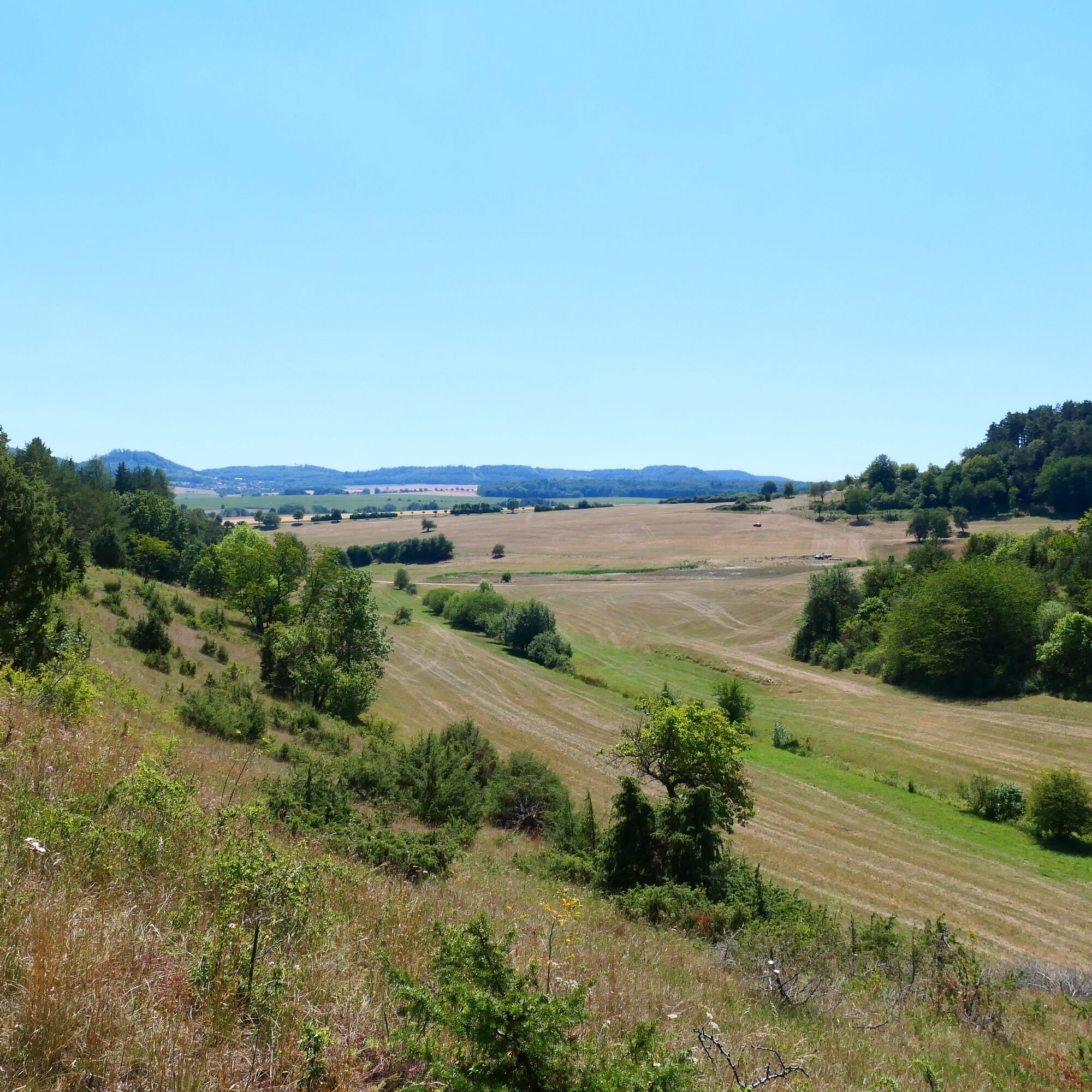
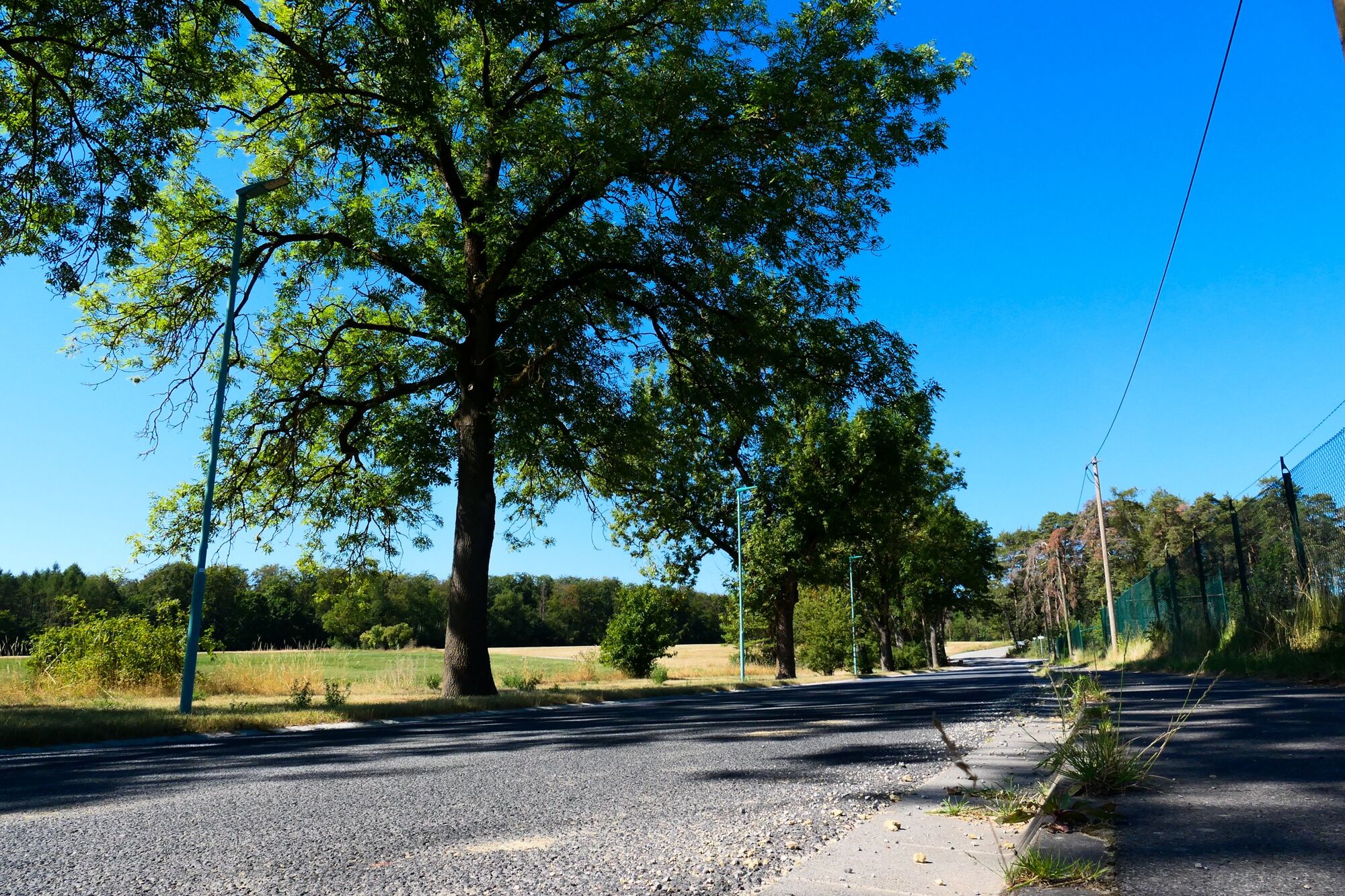
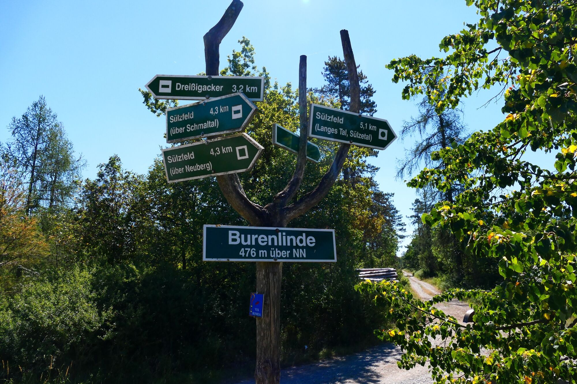
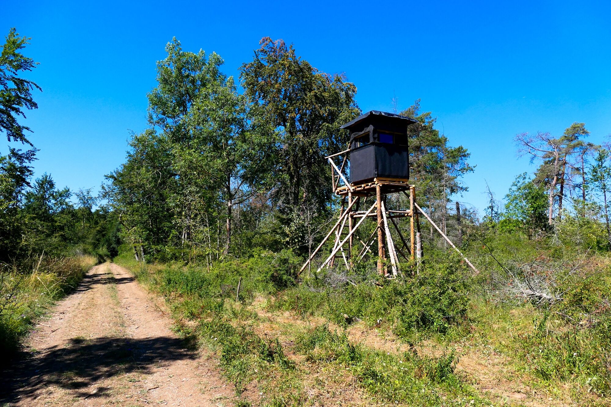
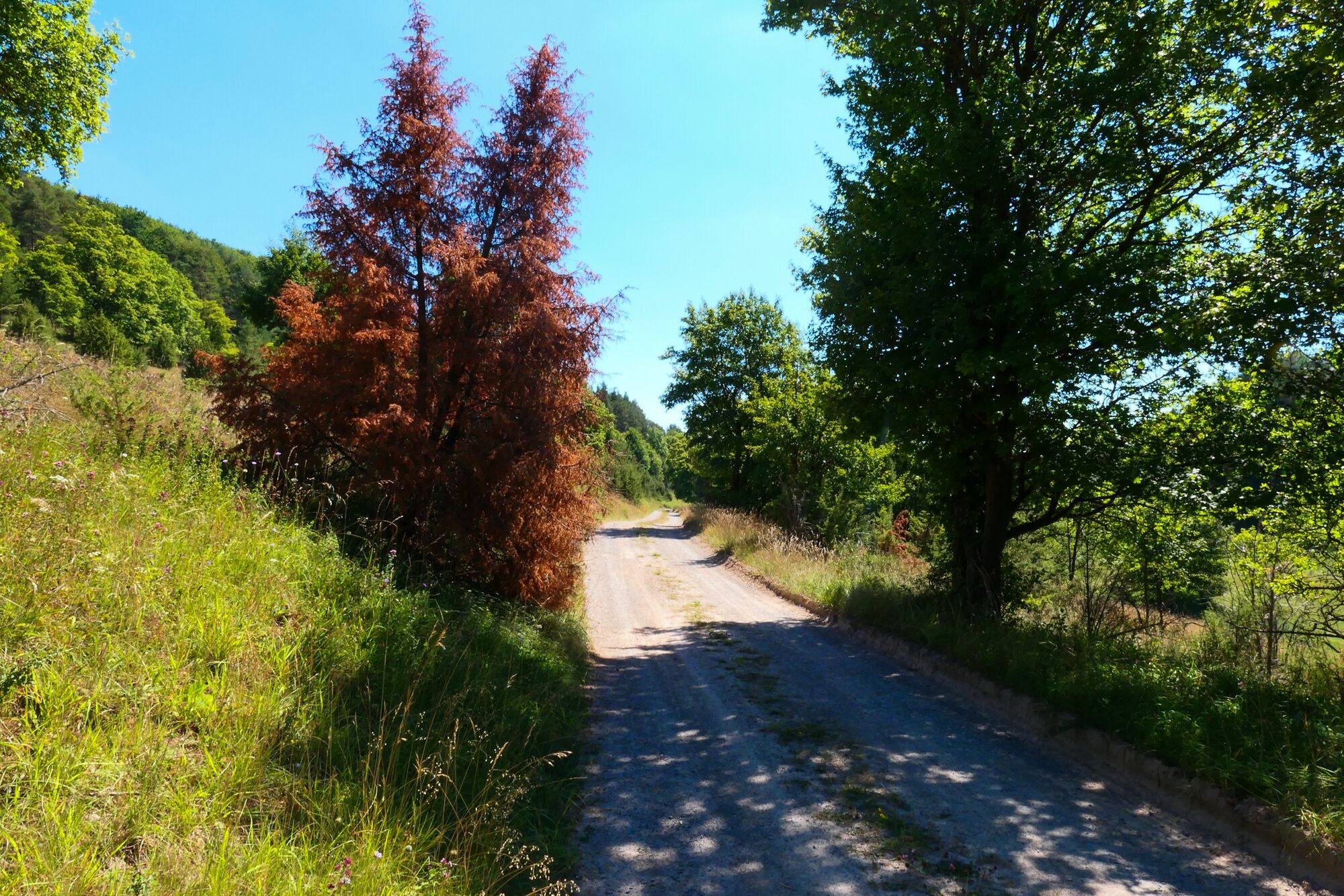
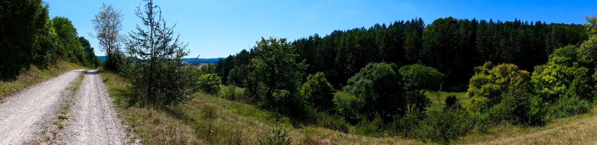
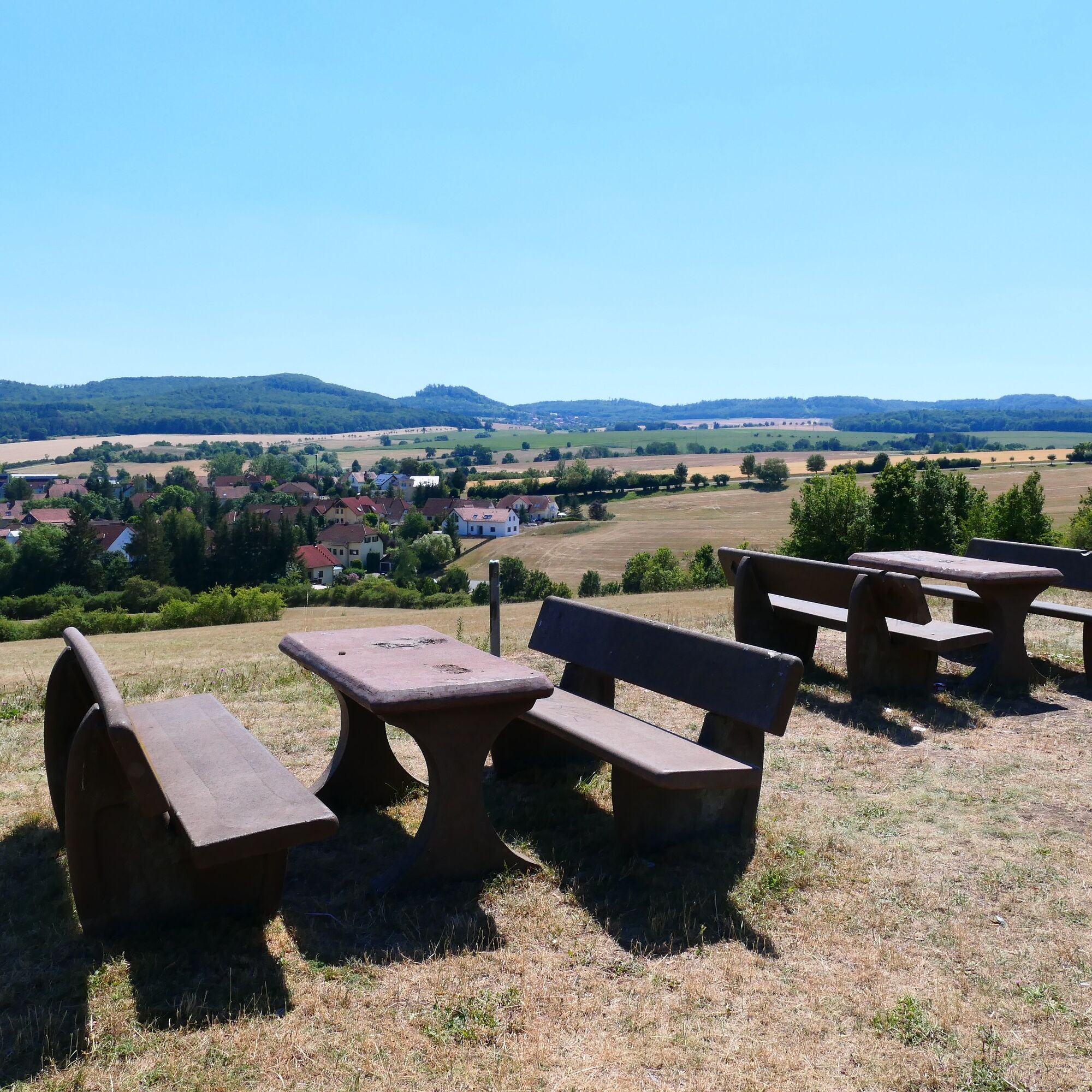
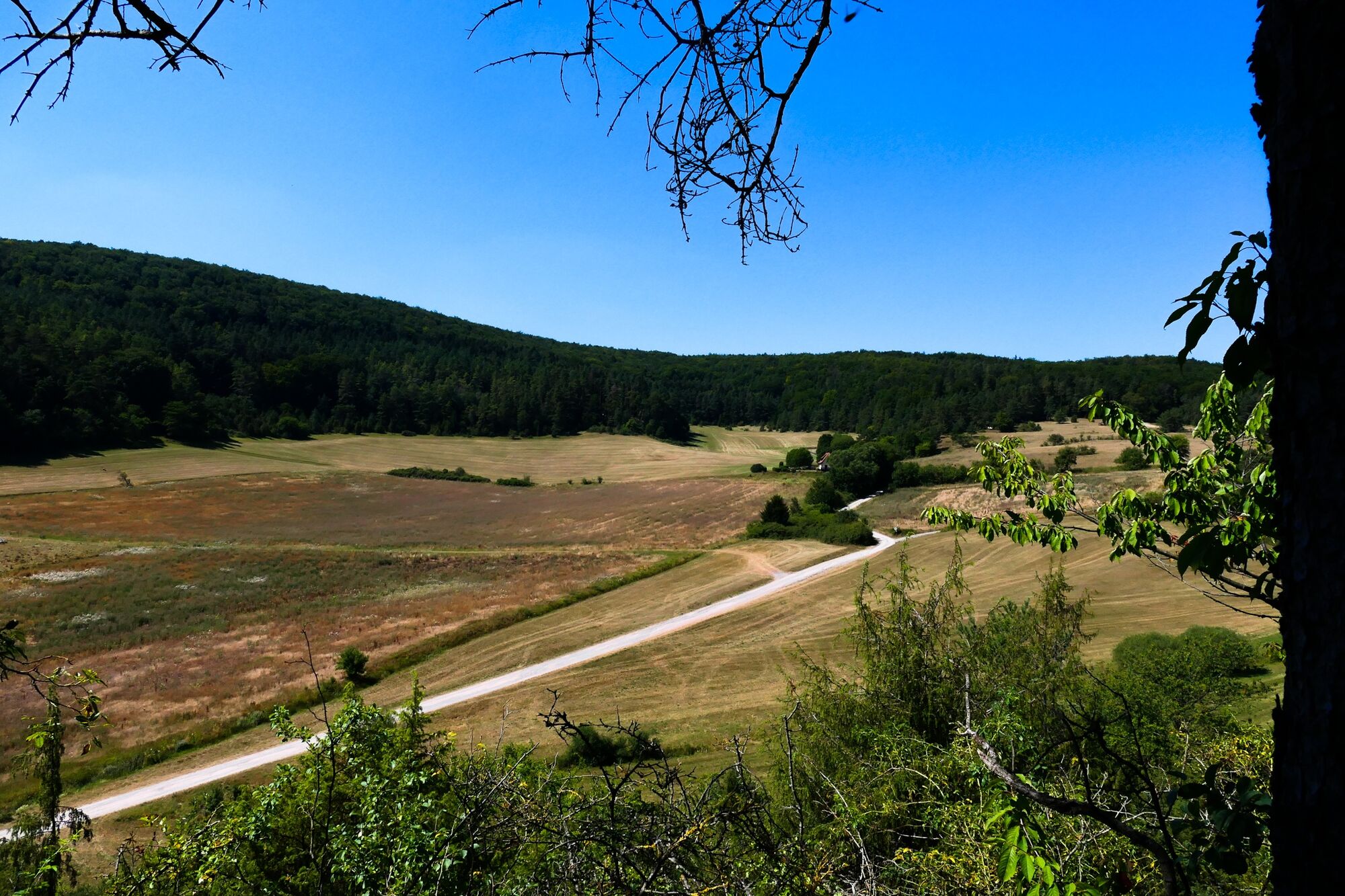
The hike starts in the district of Dreißigacker opposite the church "To the Mercy of God." First, you pass the commercial area before the path leads across an open field towards the forest. After a short time, you reach the "Burenlinde," a natural-historical monument. The well-marked path is characterized by alternating sunny and tree-canopy shaded sections. The route continues downhill to the beautiful Schmalbrunnen, where there is a resting opportunity. Out of the forest, a field path follows with a magnificent panoramic view. On the last section of the hike, there are further resting opportunities with a view of Sülzfeld and the surroundings. From here the path leads downhill to the river, the Sülze. If you are hungry now, you can refresh yourself at Hotel Fasold with Thuringian specialties.

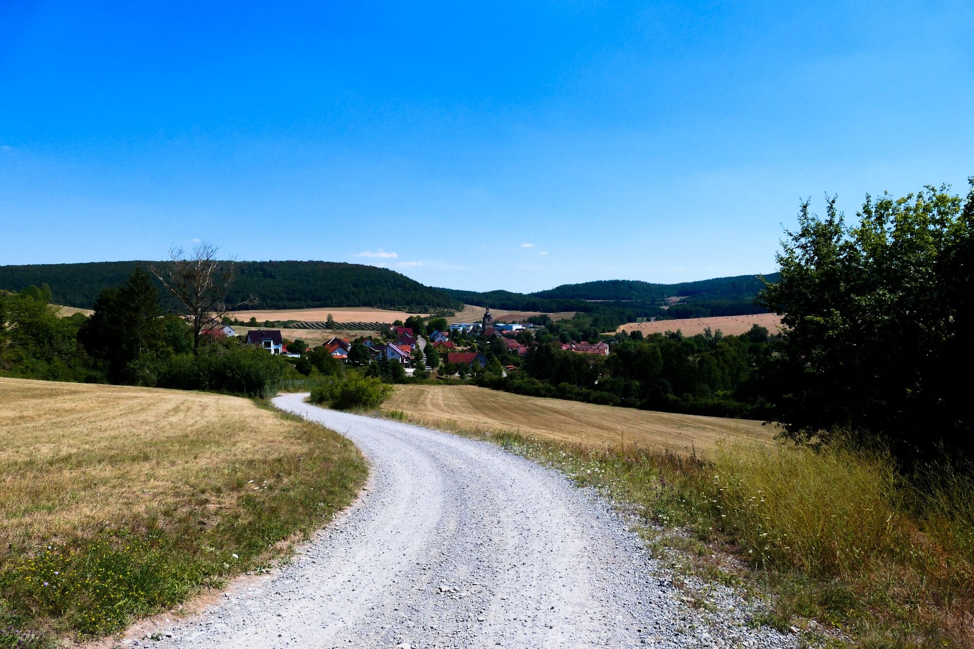
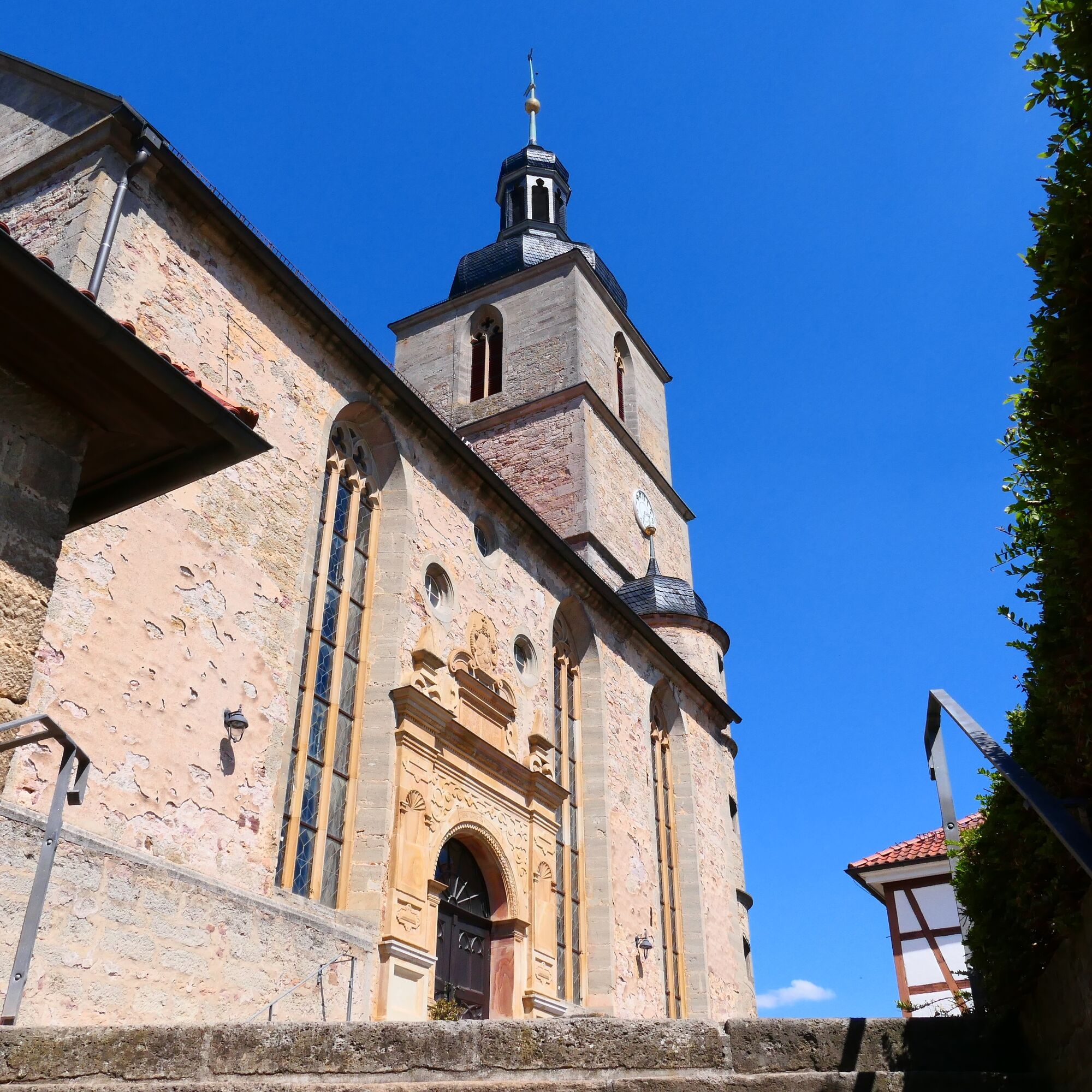

Church Dreißigacker - Commercial area - Upper Weissbachtal - Berkeser Forest - Burenlinde - Schmalbrunnen - Sülzfeld
Da
Sturdy footwear and weatherproof clothing.
Be aware of the typical dangers of the forest!
Hiking is at your own risk!
We wish you a relaxing and adventurous hike!
Exit the A71 at exit 21-Meiningen-Nord and follow B19 towards Meiningen-Nord/Bad Salzungen/Kaltennordheim/Wasungen. Follow L1140 and Rohrer Street via Marienstraße and turn right onto Georgstraße. Follow the street into Klostergasse. The parking lot is on the right side.
Meiningen is accessible by the South Thuringia Railway from Erfurt, Eisenach, and Sonneberg.
Travel to Meiningen, Train Station
(Please enter the starting point and desired travel period in the form)
Leave the South Thuringia Railway at the Meiningen station. The bus stops are located on the forecourt of the station.
Get off the bus in Dreißigacker at the Untere Linde stop. From there, you can reach the starting point of the hike in 5 minutes on foot.
The ideal hiking season is from March to October.
Further information:
Tourist Information Meiningen
Ernestinerstr. 2
98617 Meiningen
E-Mail: touristinfo@meiningen.gmbh
Tel: 03693 44650
Pridobite vpogled Vedno v živo na mestu z več kot 9.500 spletnimi kamerami. bergfex Kot uporabnik Pro si lahko zdaj ogledate ustrezne spletne kamere za številne izlete v aplikaciji izleti iz. Tako si lahko neposredno ogledate trenutne razmere. Priljubljeni izleti v okolici
- 4.4
Circular hiking route - EXTRATOUR - The Meininger
srednjaPohodništvo 10.8 km Euro Velo Route 13 Iron Curtain Trail
težkoKolesarjenje na dolge razdalje 652.1 kmDr. Malade - Rhön - Circular route - Hohe Geba
srednjaPohodništvo 8.34 kmTour 11: Dolmar - der Berg der Kelten
težkoMountainbike 59.8 km- 5.0
Celtic circular trail - Vachdorf
svetlobaPohodništvo 7.56 km - 4.0
Werra Water Hiking 2: Meiningen - Wernshausen
srednjaKajak / Kanu 24.7 km - 5.0
"On the Celtic Experience Trail" - Vachdorf-Wachenbrunn - Hike
srednjaPohodništvo 14.8 km "Nature Park Route Thuringian Forest" - From Hörschel to Saalfeld
srednjaMotorno kolo 466.4 kmMDR Osterspaziergang 2026 Meiningen: Panoramatour über den Drachenberg
srednjaPohodništvo 10.7 kmCircular hike - Ring path Meiningen - Werra Valley
težkoPohodništvo 23.4 km

Pohodništvo in sledenje


Ne zamudite ponudb in navdiha za naslednje počitnice
Vaš e-poštni naslov je bil dodan na poštni seznam.





