


Circular hike - Ring path Meiningen - Werra Valley
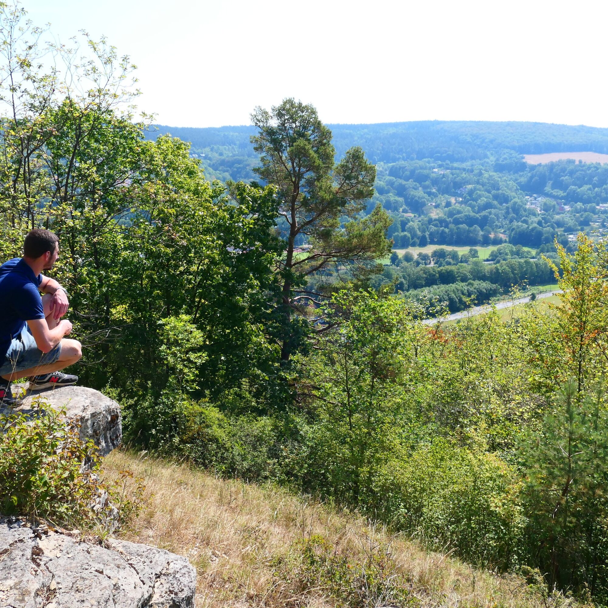
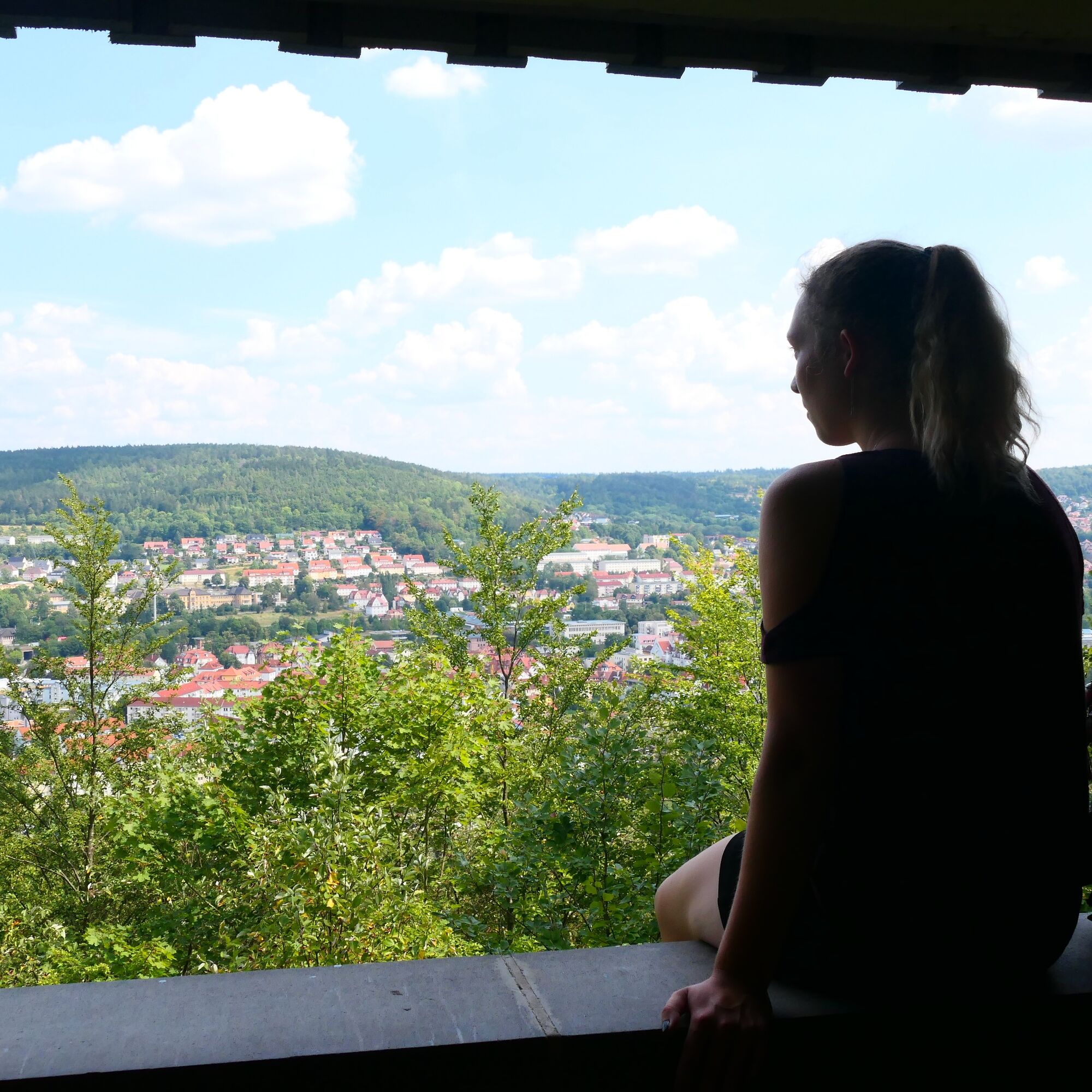
From the south of the city, the ring path leads up to the Kreuzberg and the hut of the same name at 390 meters elevation. Here the first ascent is rewarded with a magnificent view of Meiningen before continuing...
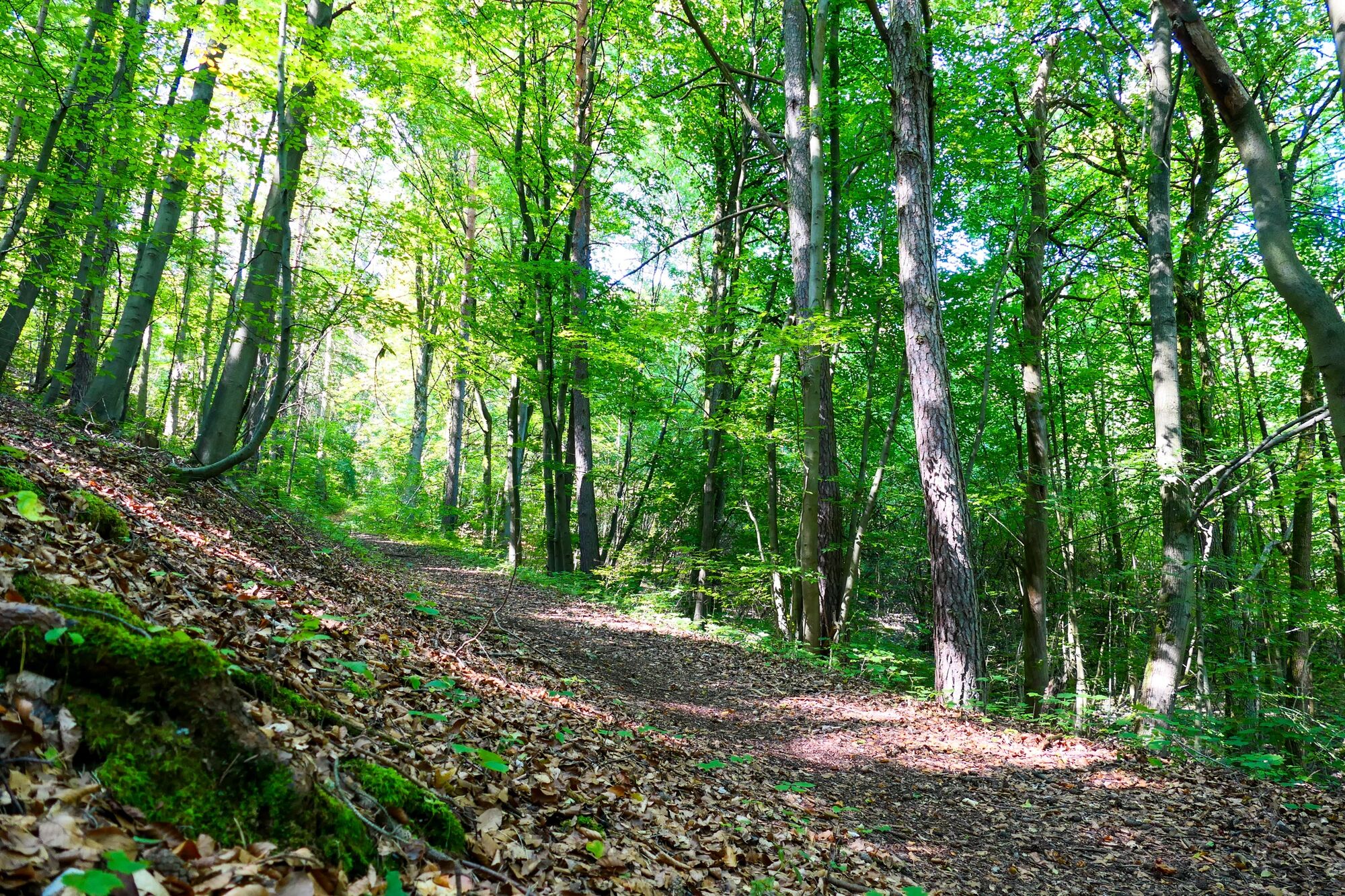
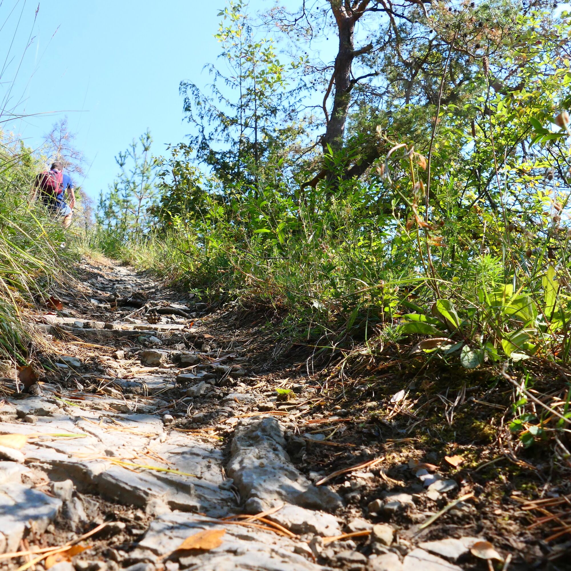
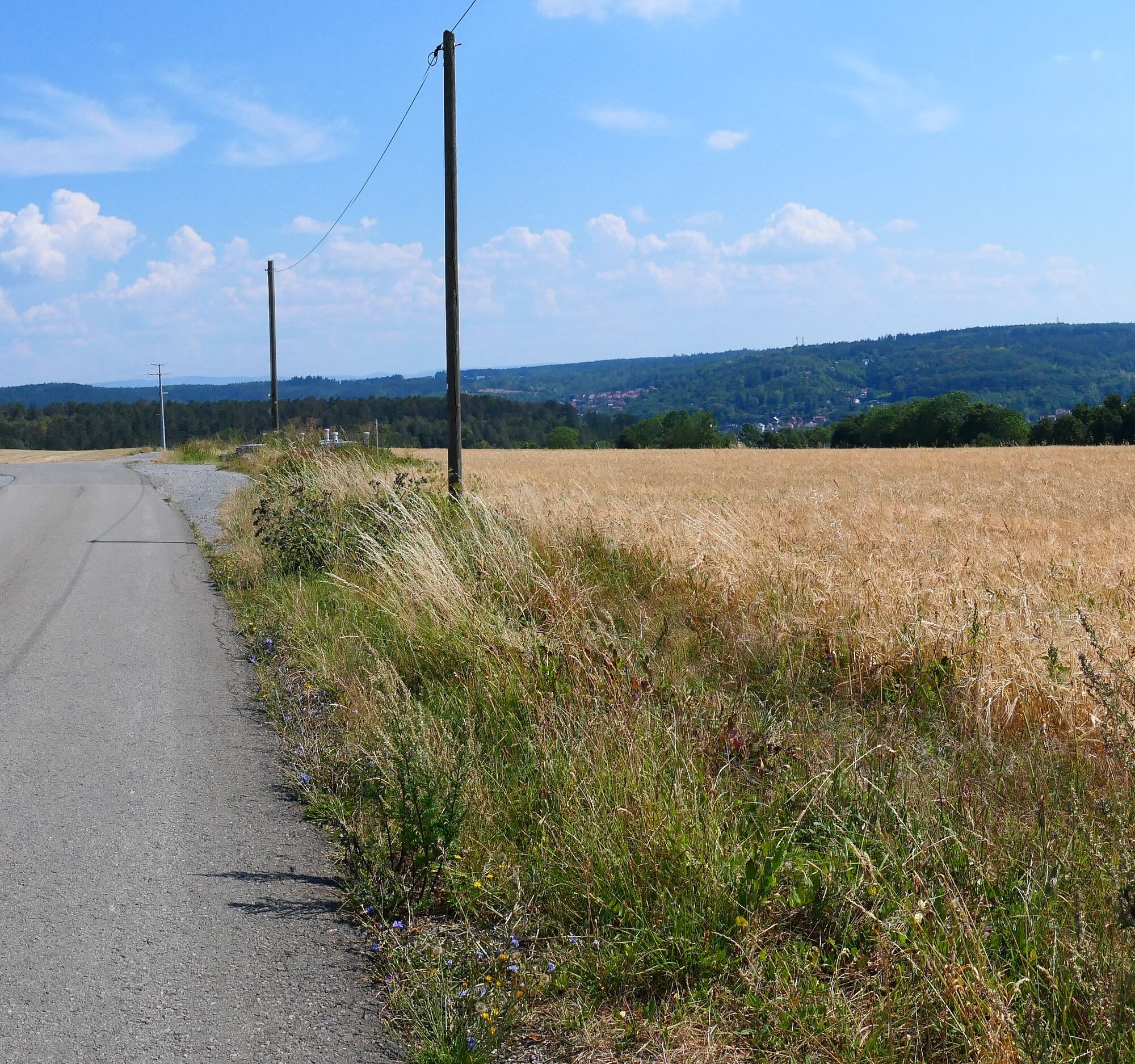
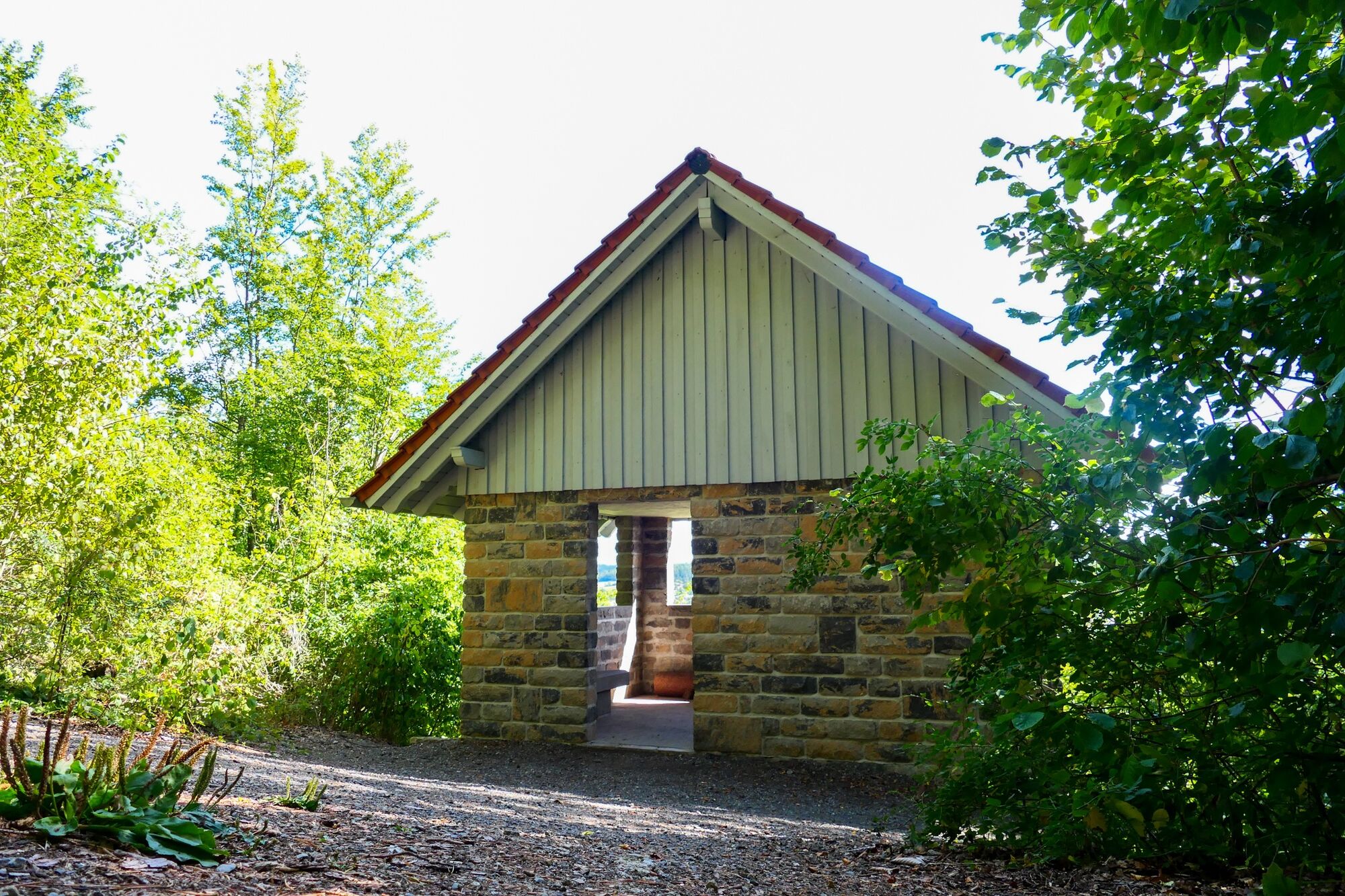
From the south of the city, the ring path leads up to the Kreuzberg and the hut of the same name at 390 meters elevation. Here the first ascent is rewarded with a magnificent view of Meiningen before continuing towards Dreißigacker. After passing the village, the path leads past wide fields back towards Meiningen. After a few kilometers, you reach the Diezhäuschen, a popular viewpoint above the castle. Past the Schaubach Hut, the route continues along allotment gardens over the Eselsbrücke back into the town. After a walk through the Helba district, the ascent leads up to the Drachenberg and reaches the Friedenseichen viewpoint. Here, a memorial stone recalls the arrival of the Russian tsar in Meiningen in 1813. It then continues over wide paths in the east of Meiningen. Here you have another chance to look over the city before returning. After crossing the Werra River, you reach the starting point of the route again.

Bus stop Feierabendheim, Henneberger Straße - Kreuzberghäuschen - Dietzhäuschen - Schaubach Hut - Eselsbrücke - Rest area Friedenseichen - Werner Hoßfeld Hut - Hohe Maas - Meiningen - Bus stop "Feierabendheim"
Sturdy footwear and weatherproof clothing.
Be aware of the typical dangers of the forest.
You proceed at your own risk.
We wish you a relaxing and eventful hike!
Leave the A71 at exit 22-Meiningen-South and follow the B89 towards Meiningen-South/Hildburghausen/Themar/Obermaßfeld/Grimmenthal. Via L3089 and Werra street, you will reach the Großmutterwiese parking lot on the left side.
Meiningen is accessible by the South Thuringia Railway from the direction of Erfurt, Eisenach, and Sonneberg.
Arrival in Meiningen, train station
(Please enter the starting point and the desired travel period in the form)
Leave the South Thuringia Railway at Meiningen station. The bus stops are located on the station forecourt.
Get off the bus in Meiningen at the Feierabendheim stop. From there, you can reach the starting point of the hike in about 5 minutes on foot.
The Großmutterwiese parking lot (Google NAV Point) has over 200 parking spaces and is free of charge. From here you can reach the city center on foot in 10 minutes.
The ideal hiking season is from March to October.
Further information:
Tourist Information Meiningen
Ernestinerstr. 2
98617 Meiningen
Email: touristinfo@meiningen.gmbh
Phone: 03693 44650
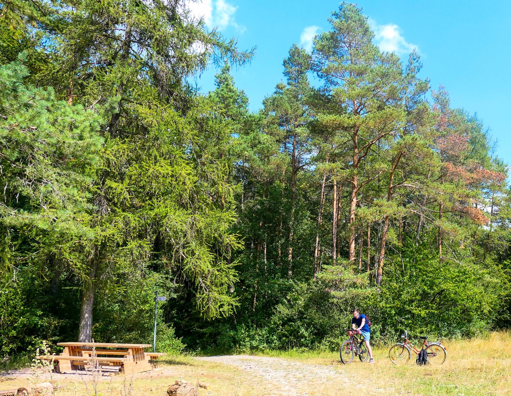
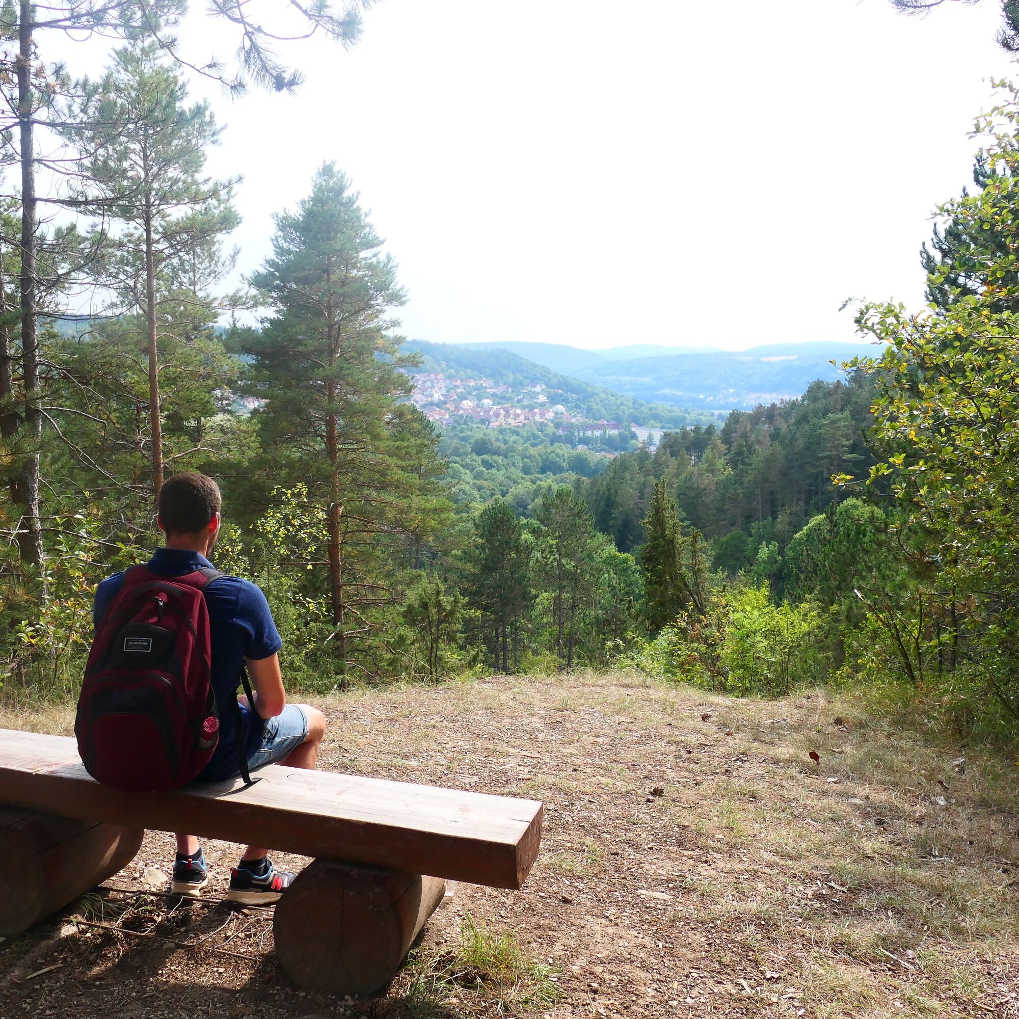
Along the route, numerous seating areas invite you to picnic with a wonderful view.
Priljubljeni izleti v okolici
- 4.4
Circular hiking route - EXTRATOUR - The Meininger
srednjaPohodništvo 10.8 km Circular route - Around the Roßbachhöhe - Schmalkalden - Thuringian Forest
srednjaPohodništvo 11.4 kmDr. Malade - Rhön - Circular route - Hohe Geba
srednjaPohodništvo 8.34 km- 4.0
Werra Water Hiking 2: Meiningen - Wernshausen
srednjaKajak / Kanu 24.7 km - 5.0
Celtic circular trail - Vachdorf
svetlobaPohodništvo 7.56 km - 5.0
"On the Celtic Experience Trail" - Vachdorf-Wachenbrunn - Hike
srednjaPohodništvo 14.8 km Hike - from Meiningen to the Bakunin Hut (Rohr)
svetlobaPohodništvo 5.79 kmMDR Osterspaziergang 2026 Meiningen: Panoramatour über den Drachenberg
srednjaPohodništvo 10.7 kmHofteicher - Belrieth im Werratal - Rundwanderweg
srednjaPohodništvo 10.2 kmCircular Route - Around the Herrenkuppe - Schmalkalden - Thuringian Forest
svetlobaPohodništvo 4.32 km
Pohodništvo in sledenje


Ne zamudite ponudb in navdiha za naslednje počitnice
Vaš e-poštni naslov je bil dodan na poštni seznam.