







Datenberg circular route - Route 7 - Bad Tabarz
Stopnja težavnosti: T1
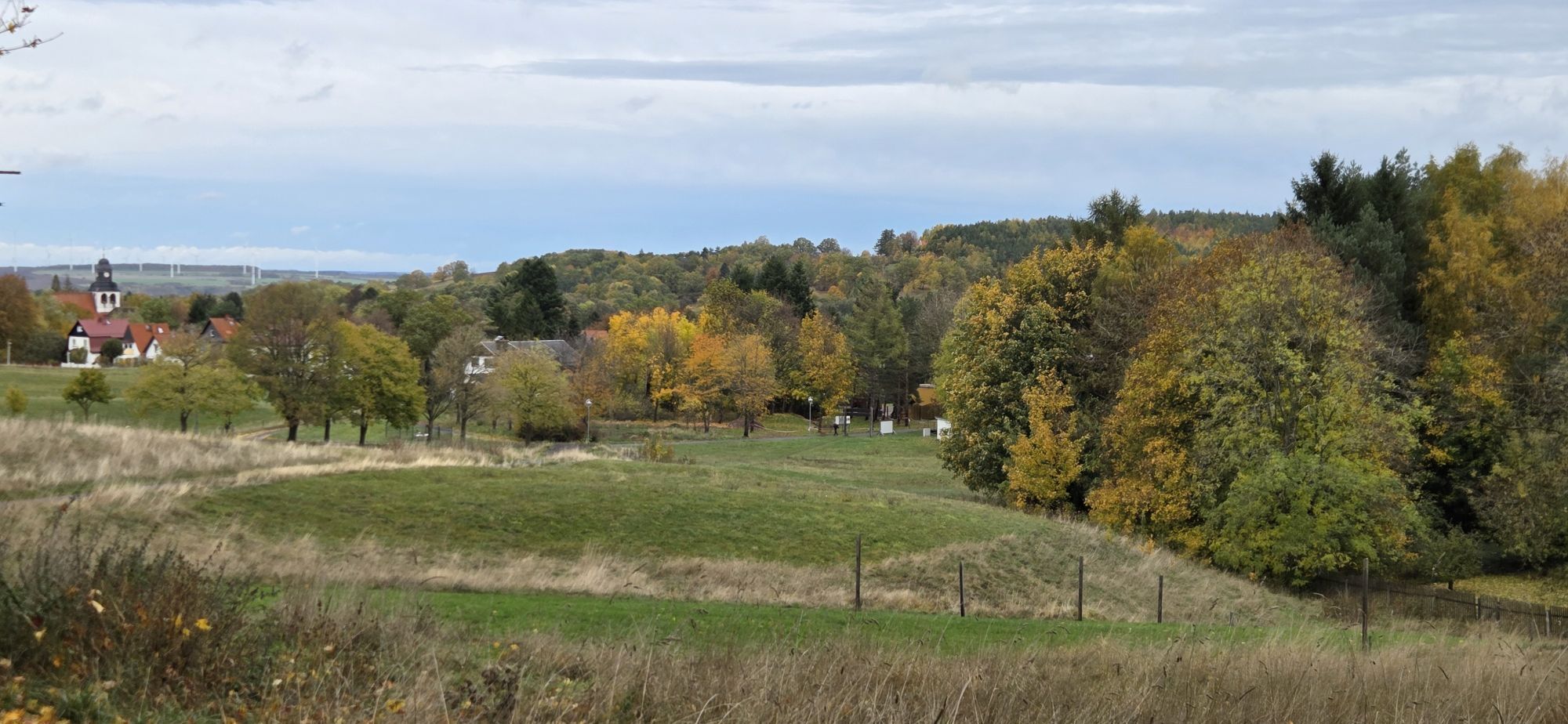
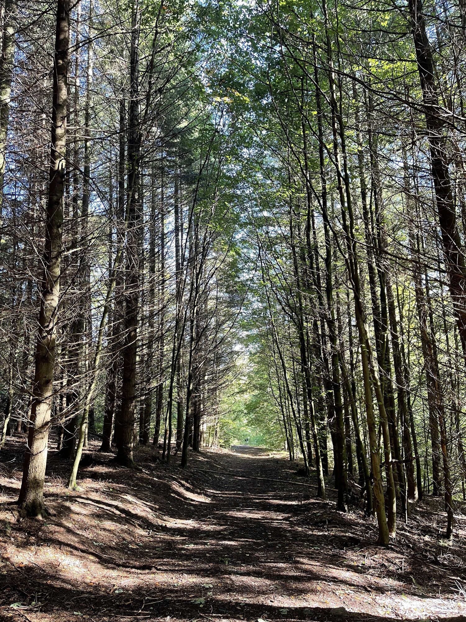
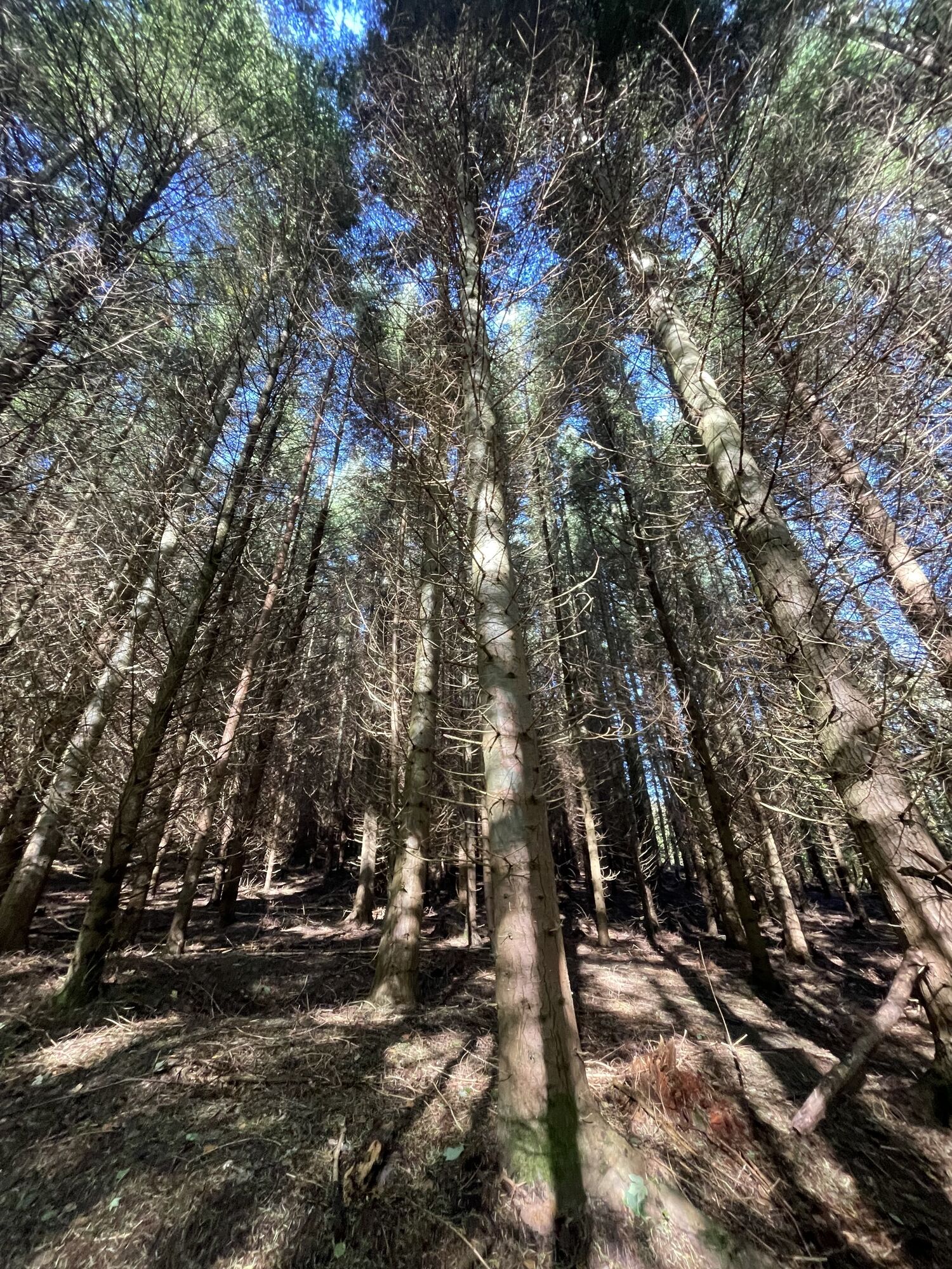
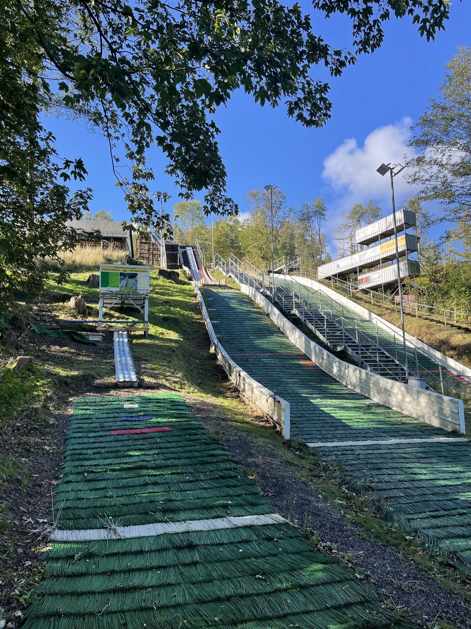
The route starts at the hiking meeting point at Kukuna (behind the Hotel zur Post). Here follow the Postweg for 100 m, then turn left to Seyfahrtswiese. From there, go right into the forest uphill to Felschen....
The route starts at the hiking meeting point at Kukuna (behind the Hotel zur Post). Here follow the Postweg for 100 m, then turn left to Seyfahrtswiese. From there, go right into the forest uphill to Felschen. Turning right, continuing uphill, very beautiful views await the hiker. Upon reaching an open area, the path leads right, above the quarry. After about 200 m, turn left towards Rotenbergswiese. About halfway, the path sharply turns left downwards across Rotenbergswiese into the forest. Follow this path always downhill to Felschen. There, turn right and after about 200 m, turn left into Lauchagrund. Continue over Märchenwiese with the Struwwelpeter park back to the starting point.


Tourist information - Postweg - Seyfahrtswiese - Felschen - Datenbergrundweg - Rotenbergwiese - Felschen - Schweizerhaus - Spindlereck - Märchenwiese - Tourist information
Sturdy footwear
Rainwear
First aid kit
GPS navigation device or smartphone
Pay attention to the typical dangers of the forest!
Proceed at your own risk!
From the A4, take exit 41a (Waltershausen) and then continue on L1027 towards Bad Tabarz.
You can reach Bad Tabarz by bus lines 445/146 from Schmalkalden (connection to DB). Use the following link for travel planning:
Simply add the desired travel date and your starting point.
Theodor-Neubauer-Park / Lauchagrundstrasse Google NAV point
Parking lot behind the Sparkasse Google NAV point
Parking lot in Reinhardsbrunner Str. Google NAV point
T1
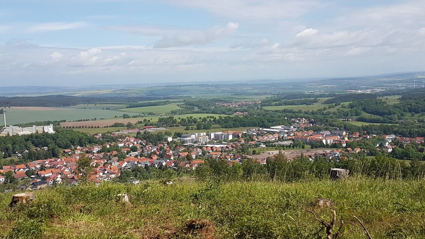
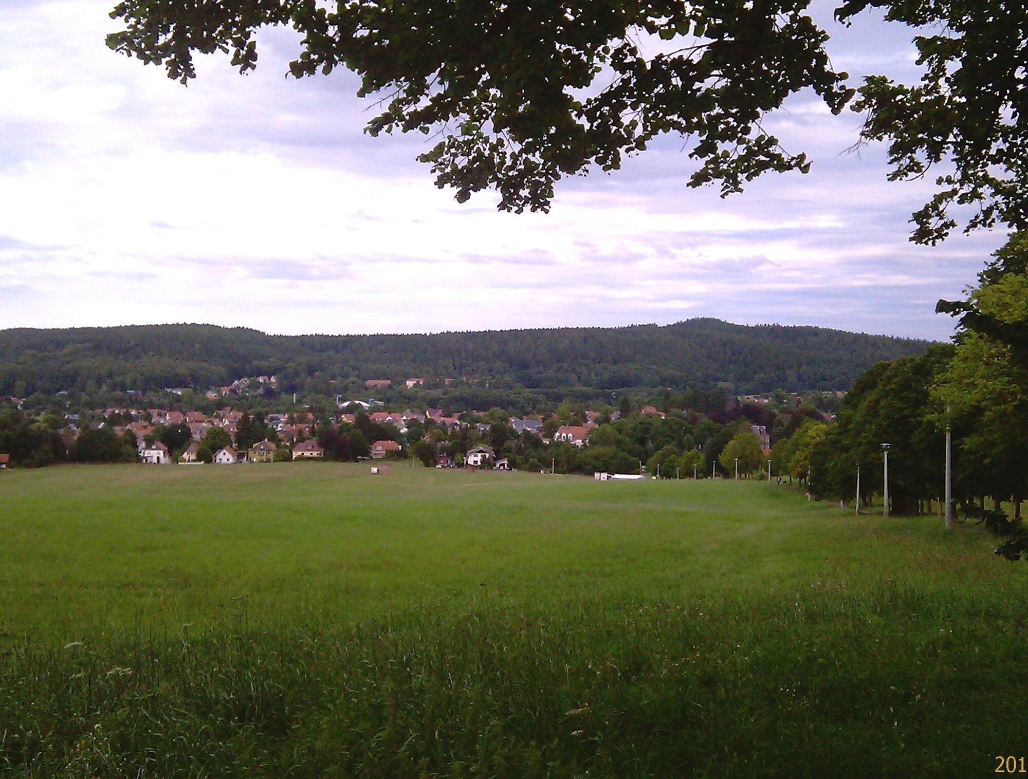
On the Datenberg you have a great panoramic view of the foreland of the Thuringian Forest.
After the last logging, you can see the roof of the Wartburg.
Pridobite vpogled
Vedno v živo na mestu z več kot 9.500 spletnimi kamerami. bergfex Kot uporabnik Pro si lahko zdaj ogledate ustrezne spletne kamere za številne izlete v aplikaciji izleti iz. Tako si lahko neposredno ogledate trenutne razmere.
Priljubljeni izleti v okolici
-
5.0
EA1 - Circular route - Gorge tour near Eisenach - Thuringian Forest
srednjaPohodništvo 9.68 km -
4.4
Circular hike "Old Tambach Dam", Tambach-D., Thuringian Forest
srednjaPohodništvo 8.33 km -
4.5
Summit and panoramic route - Route 1 - Bad Tabarz
srednjaPohodništvo 10.9 km -
4.7
IVV PW + GTW "In Luther's footsteps - Luther, dragons, landgraves, rose miracle..."
srednjaPohodništvo 15.8 km -
3.8
Wanderung zum Spitterfall
srednjaPohodništvo 14.6 km -
Tabarzer Vulkansteig
srednjaPohodništvo 9.91 km -
4.5
Circular hike - Legendary Hörselberge - Great Hörselberg near Eisenach - Thuringian Forest
srednjaPohodništvo 10.6 km -
4.4
Circular hiking trail - "Trusetal Landmark Route" - Thuringian Forest
svetlobaPohodništvo 4.02 km -
4.8
Inselsberg tour - Tour 2 - Bad Tabarz
težkoPohodništvo 15.1 km -
3.2
Von Friedrichroda zum großen Inselsberg
srednjaPohodništvo 22.4 km
Pohodništvo in sledenje


Ne zamudite ponudb in navdiha za naslednje počitnice
Vaš e-poštni naslov je bil dodan na poštni seznam.





