







Inselsberg tour - Tour 2 - Bad Tabarz

Stopnja težavnosti: T3
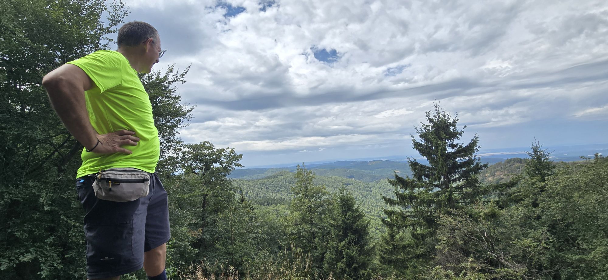
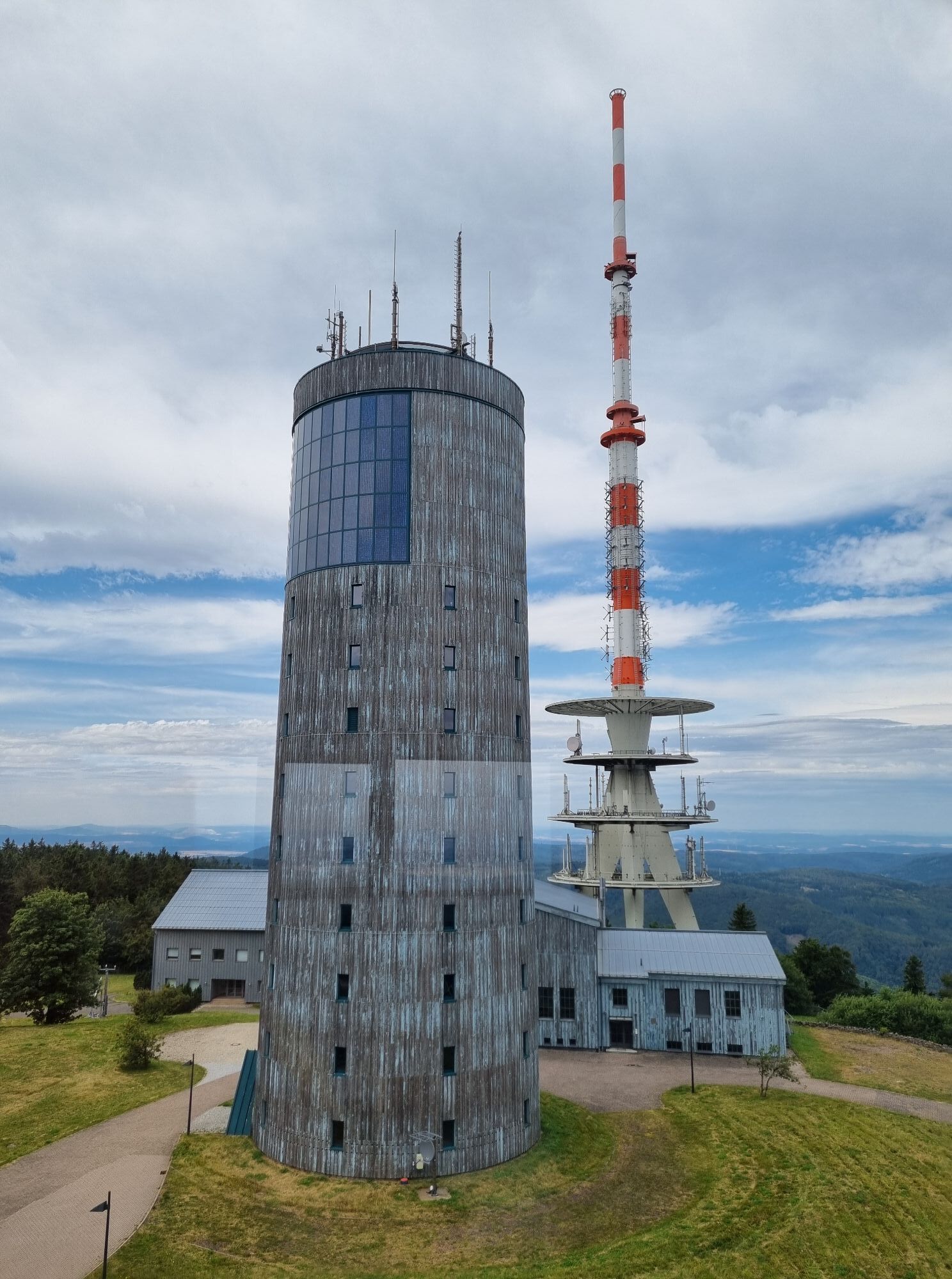
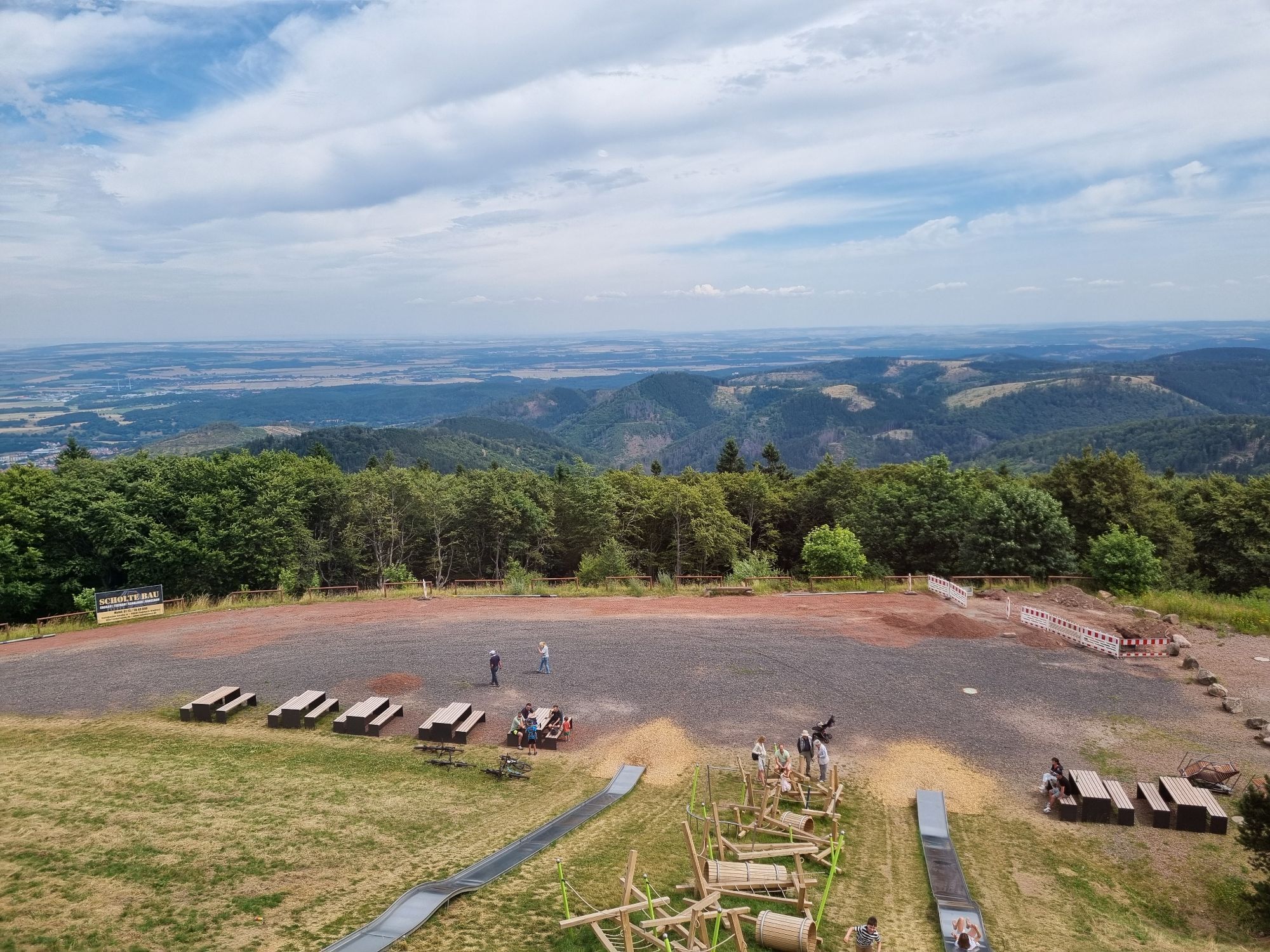
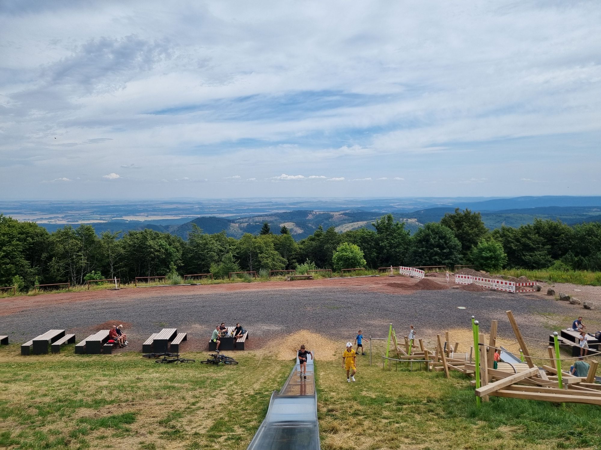
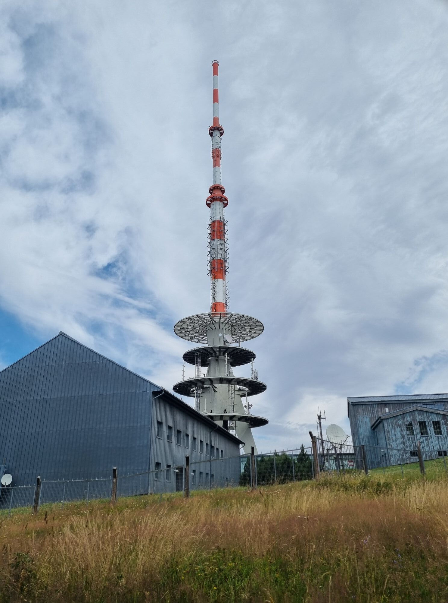
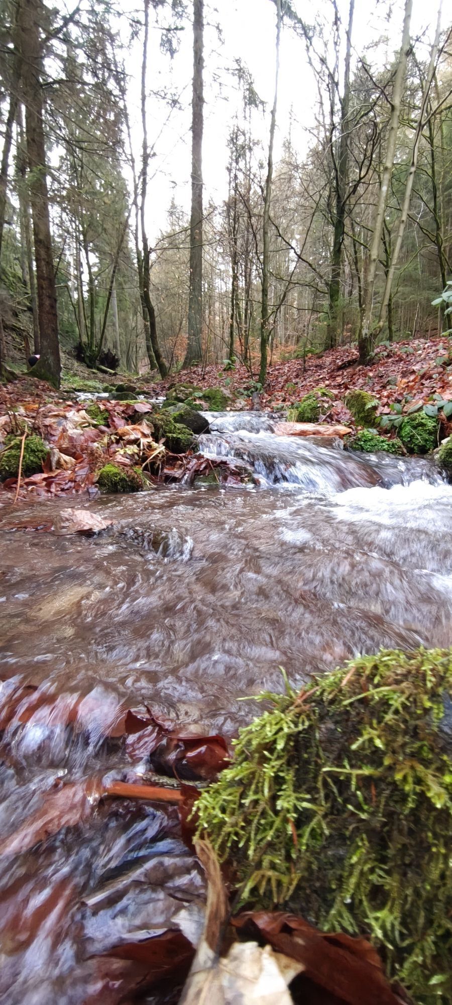
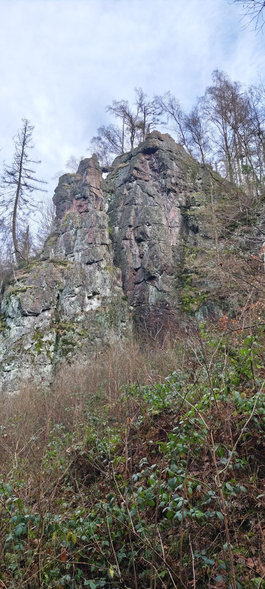
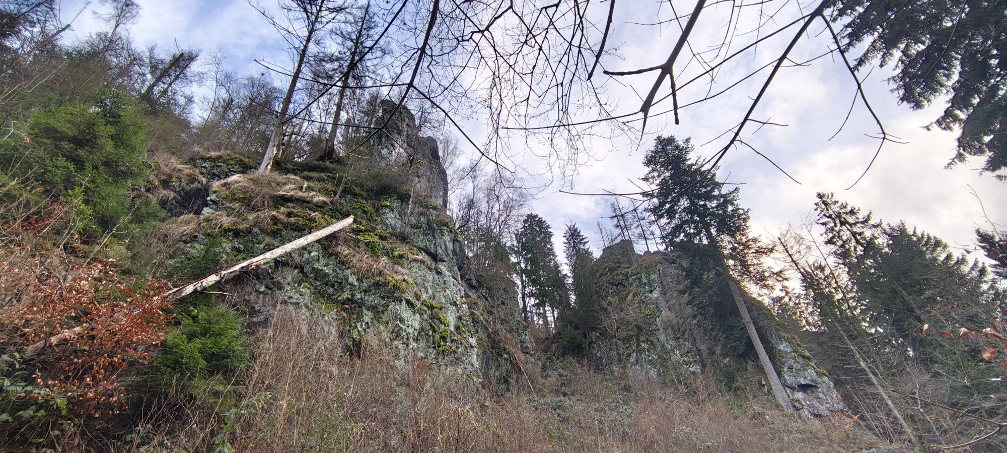
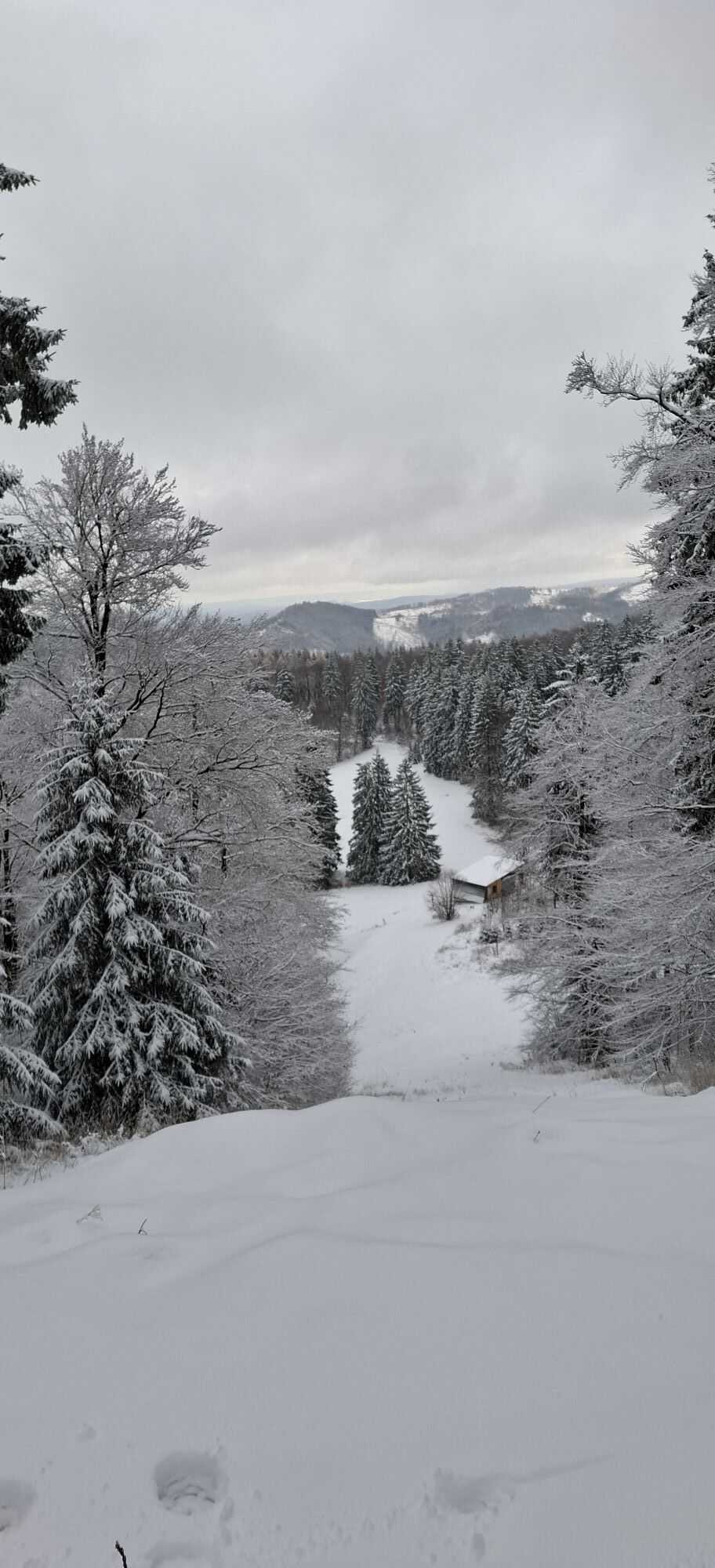
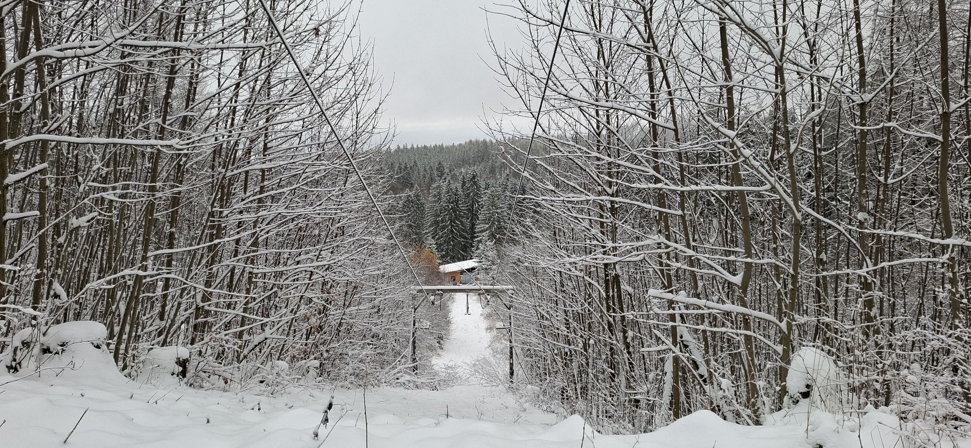
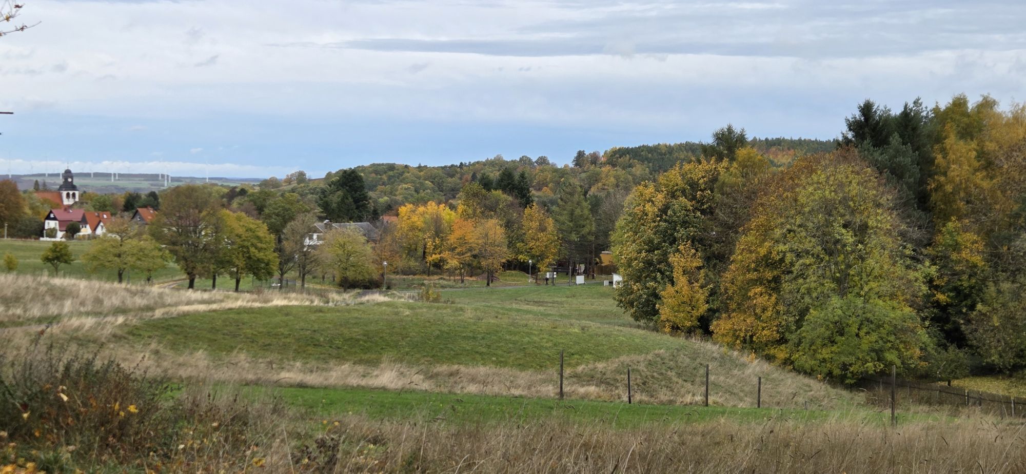
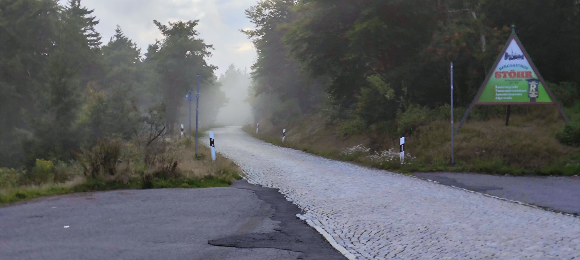

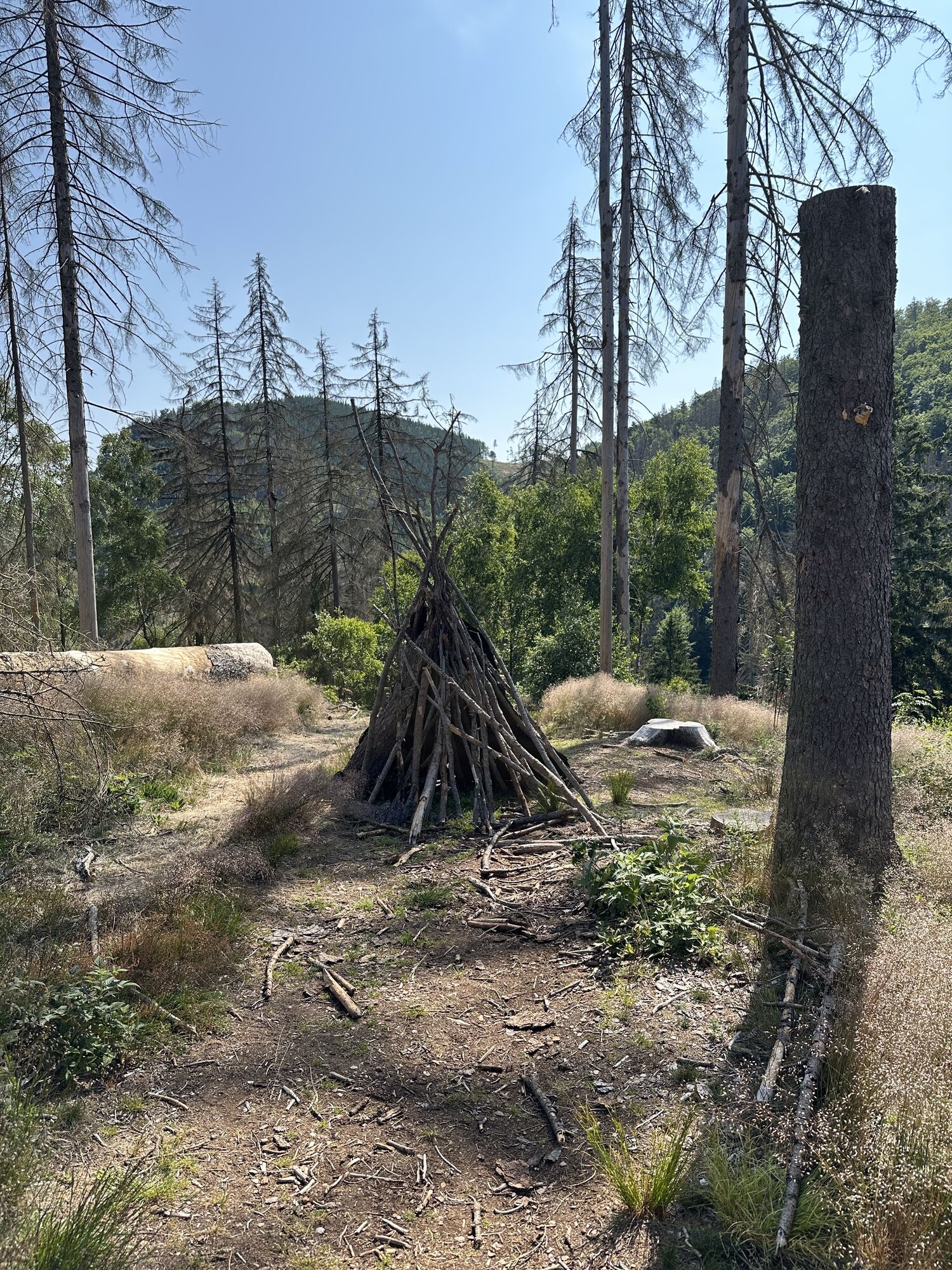
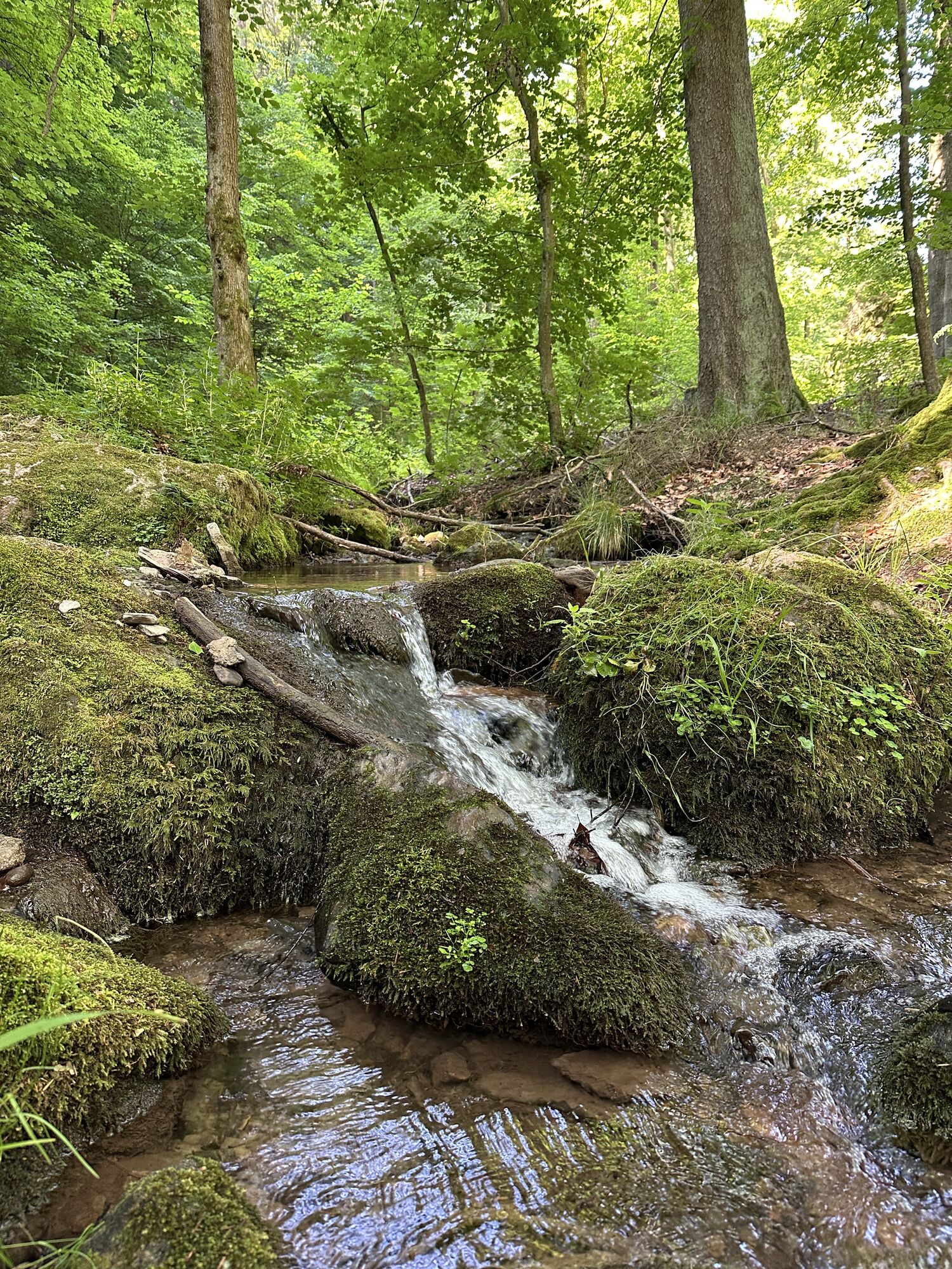
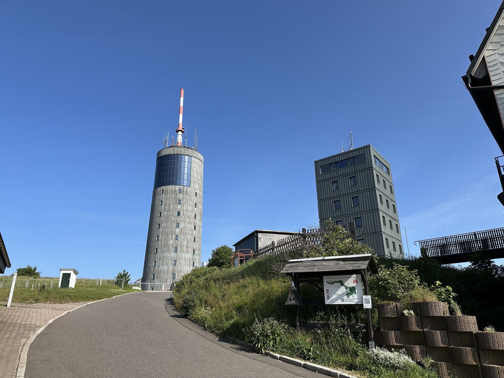
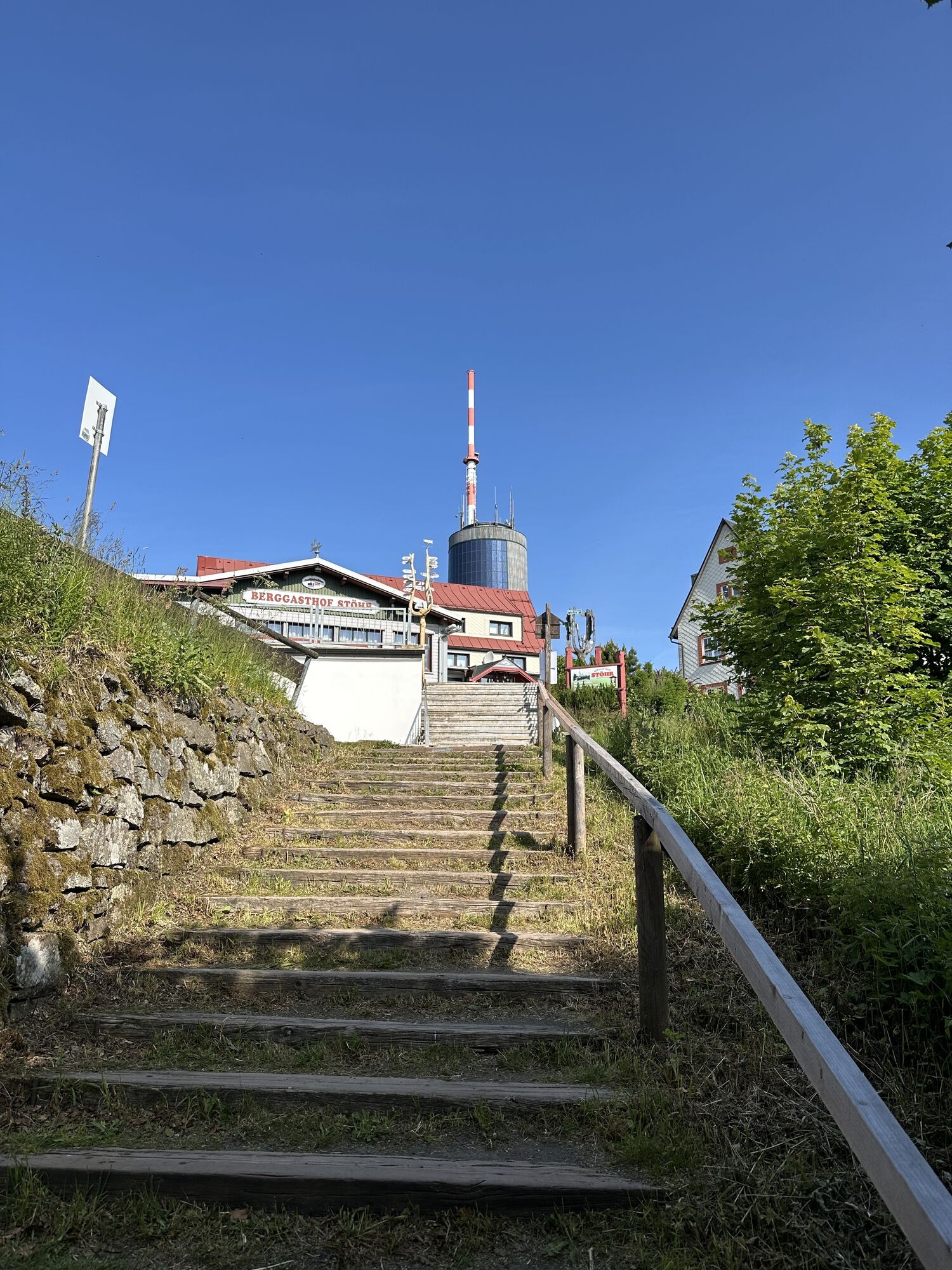
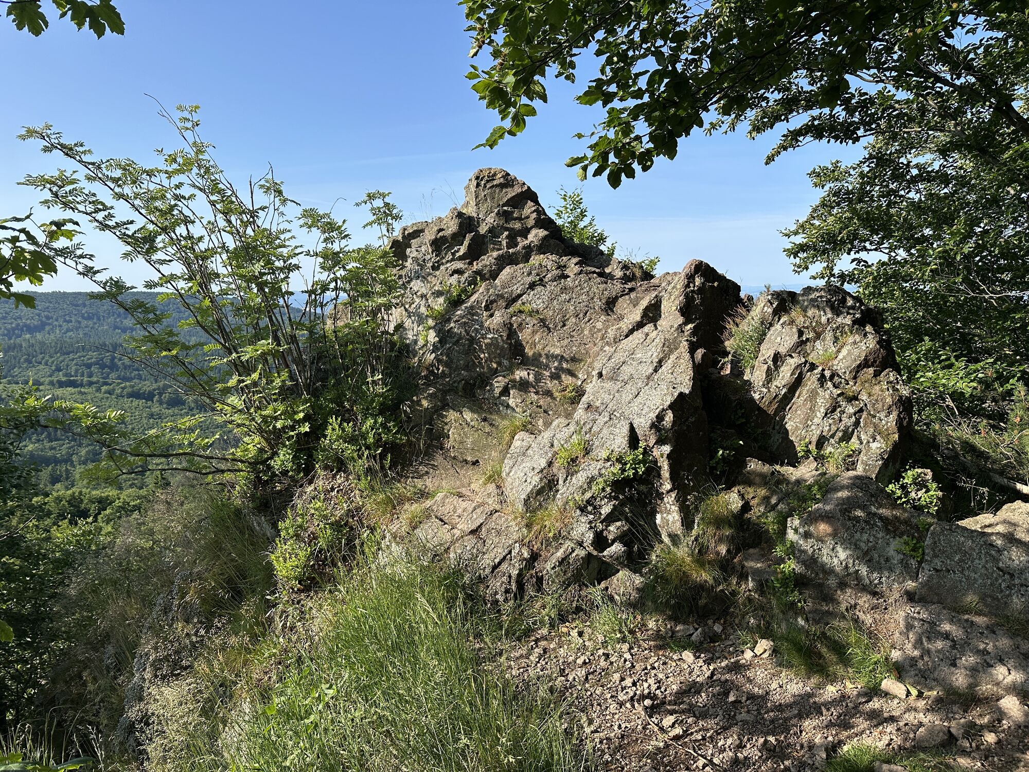
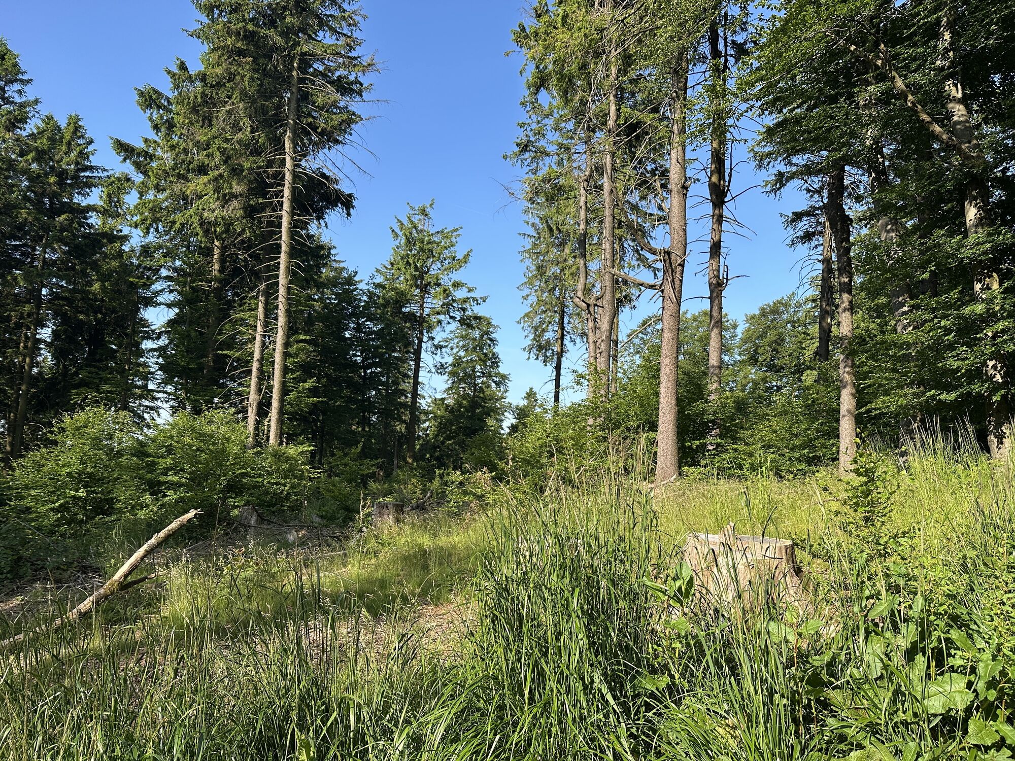
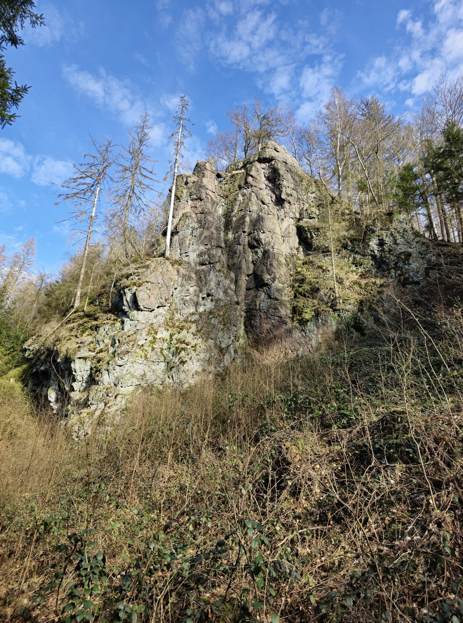
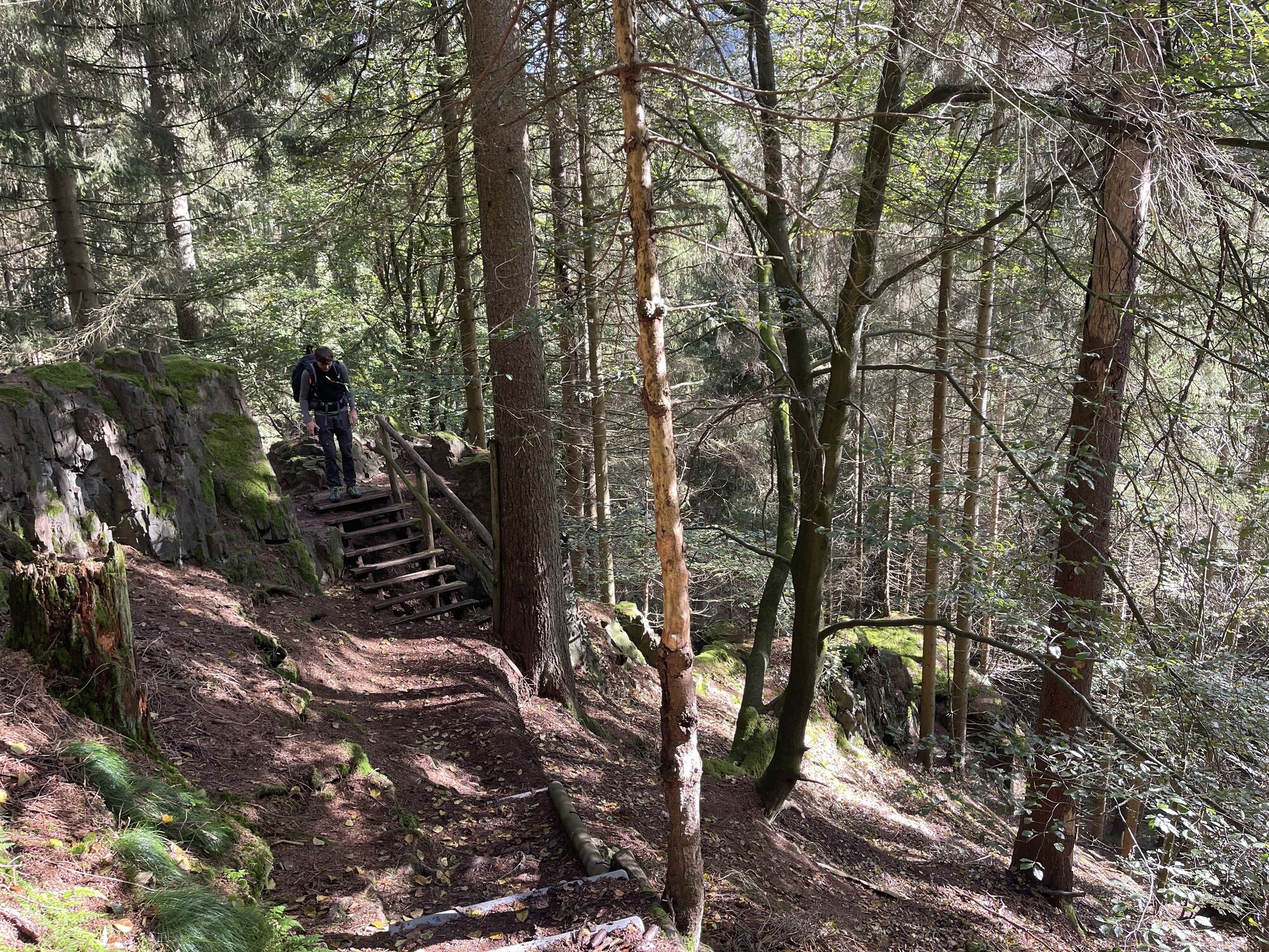
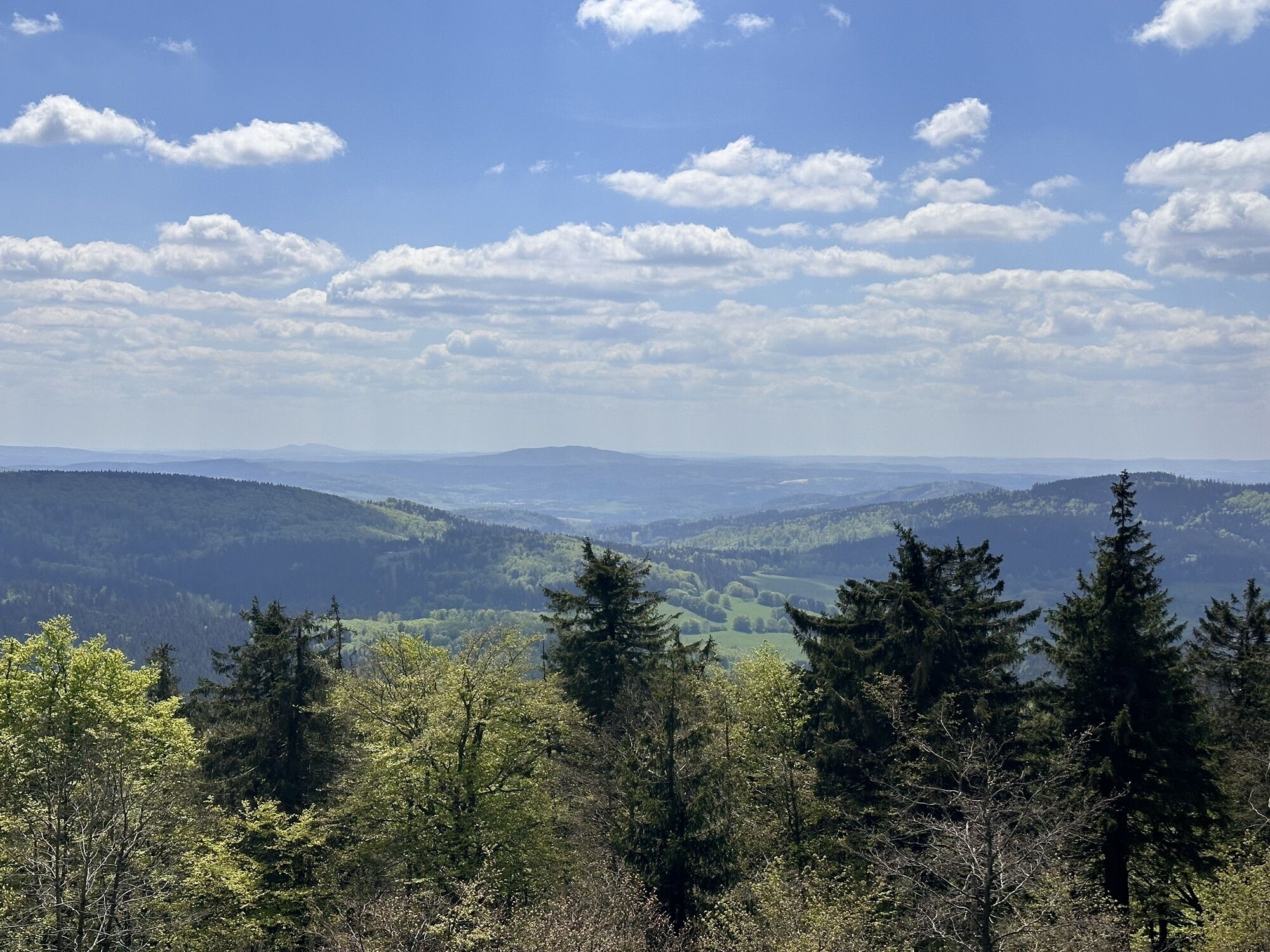
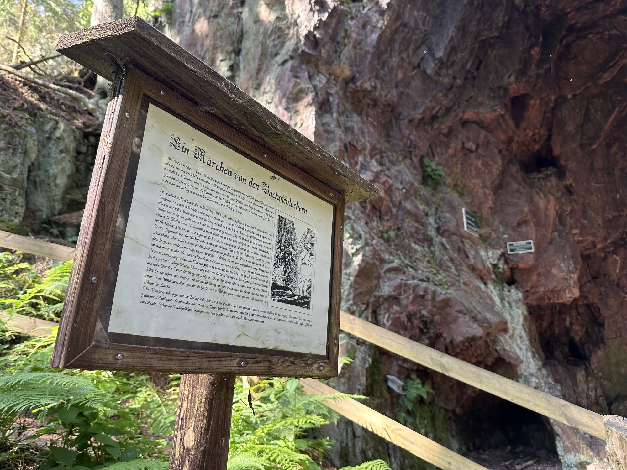
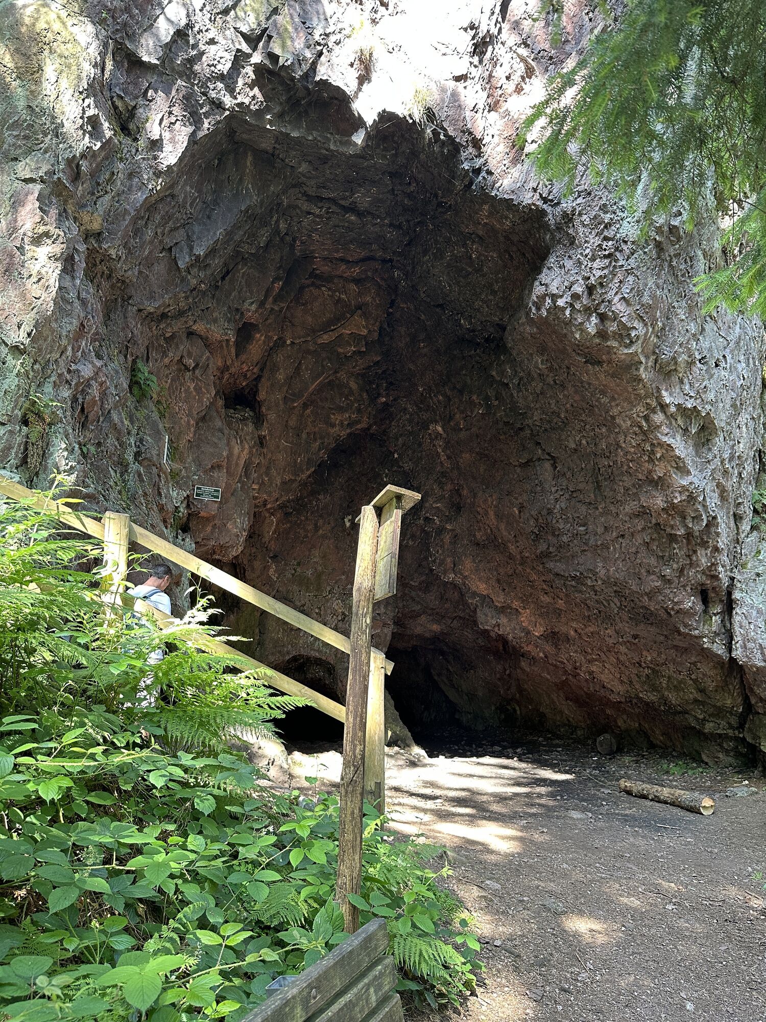
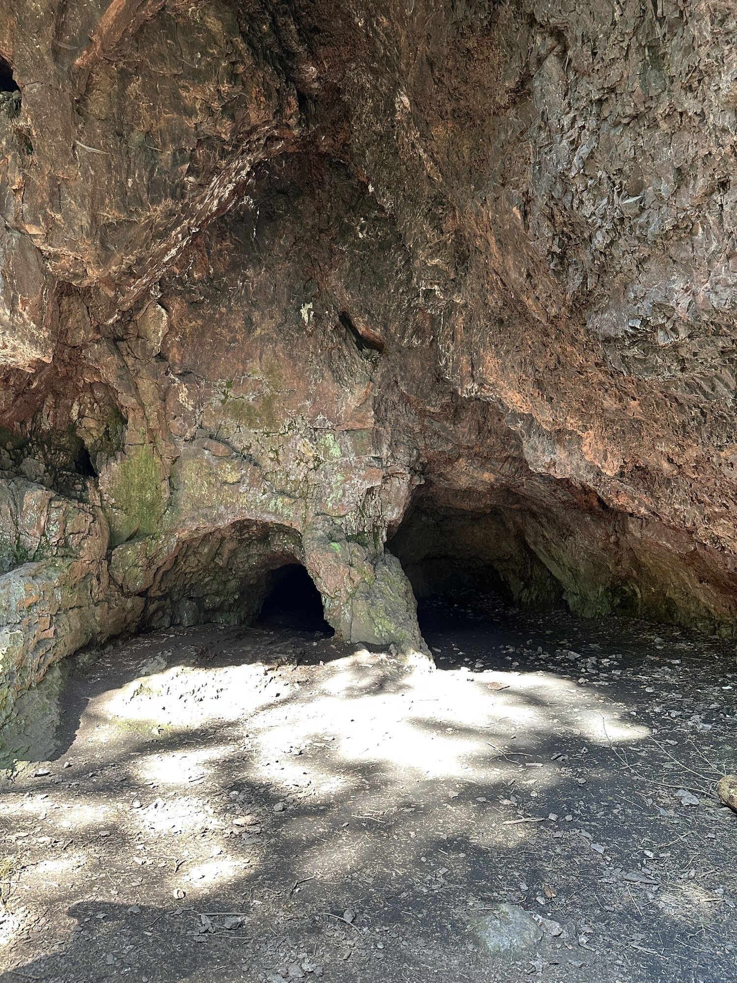
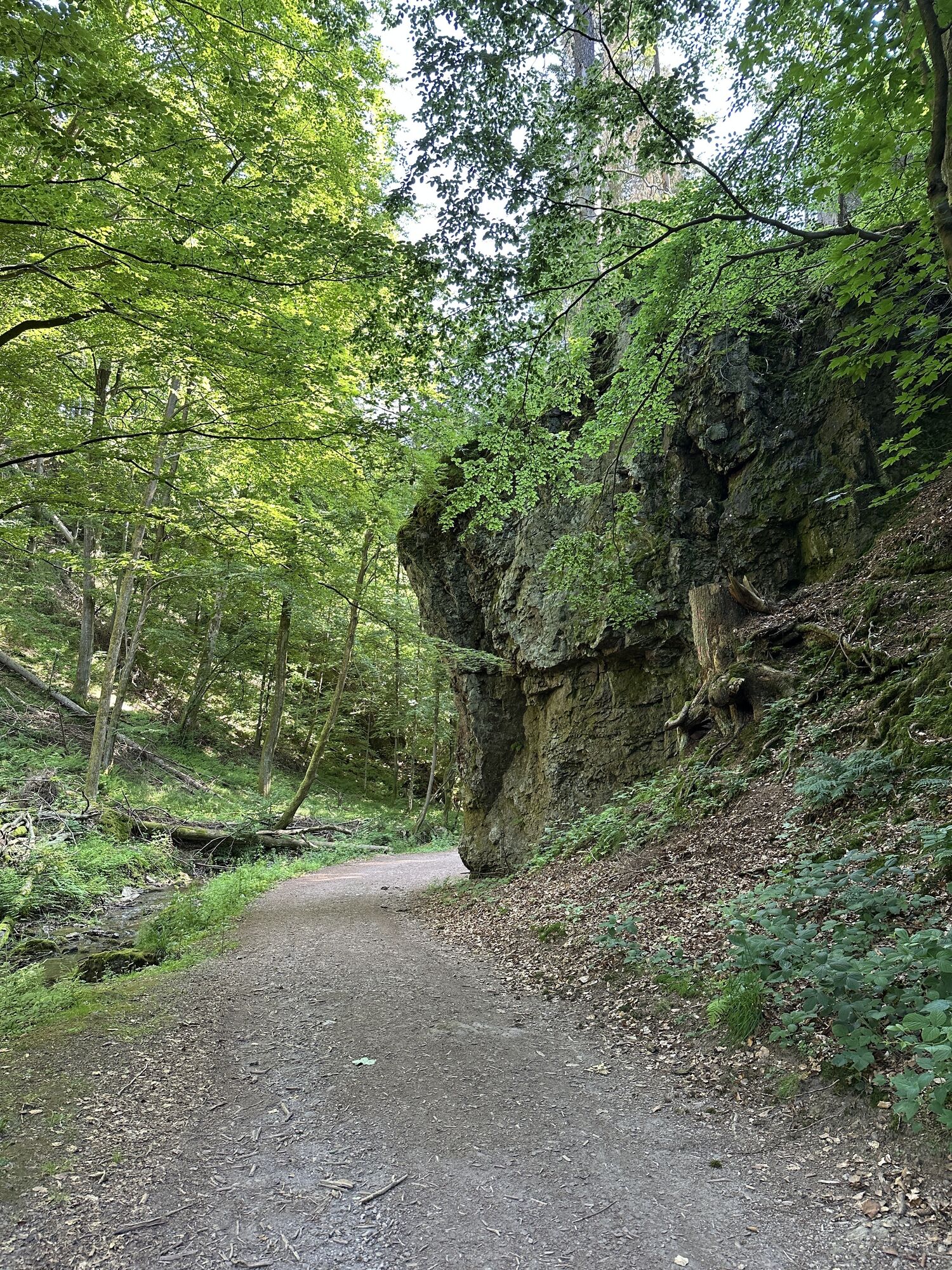

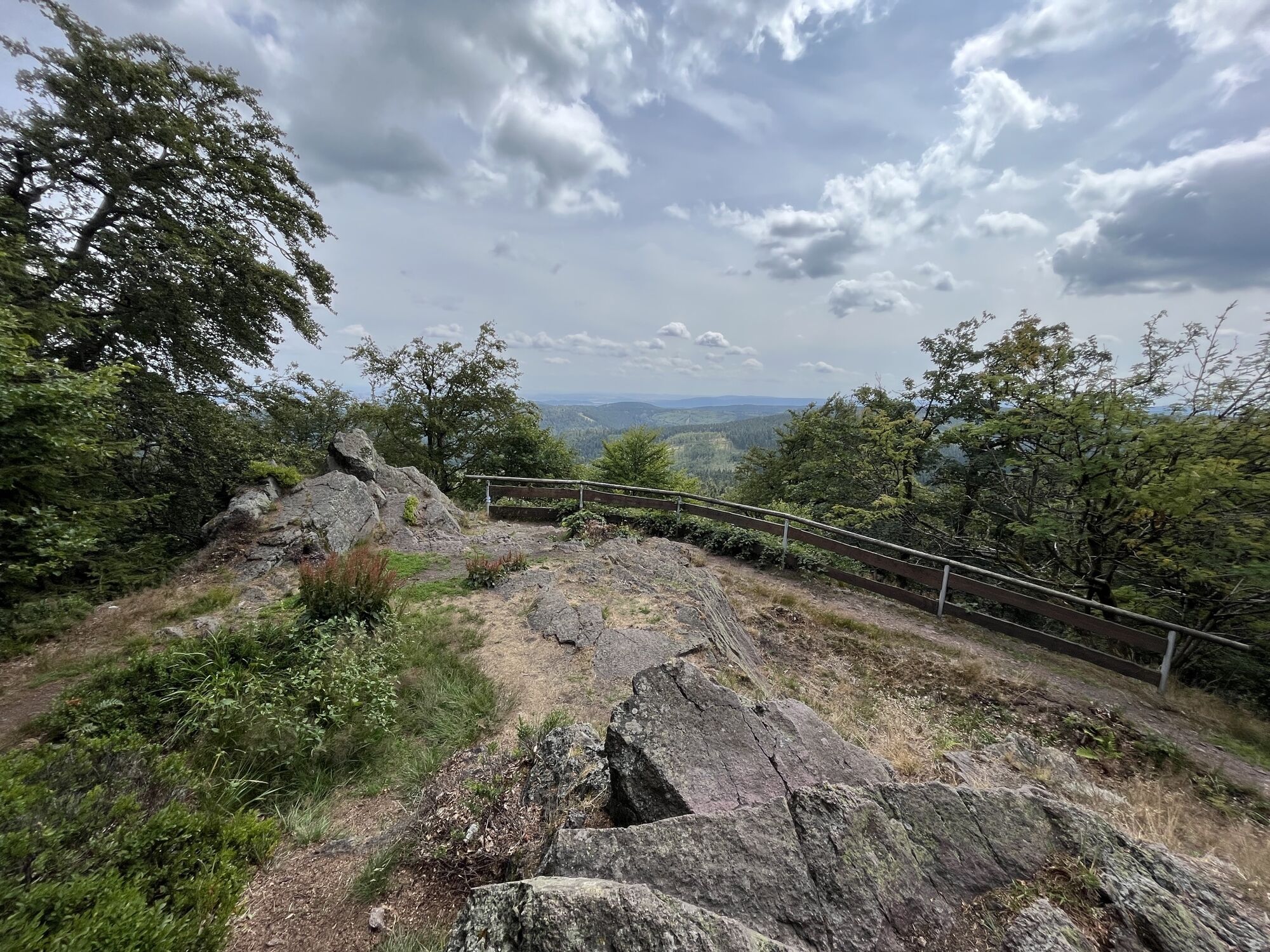
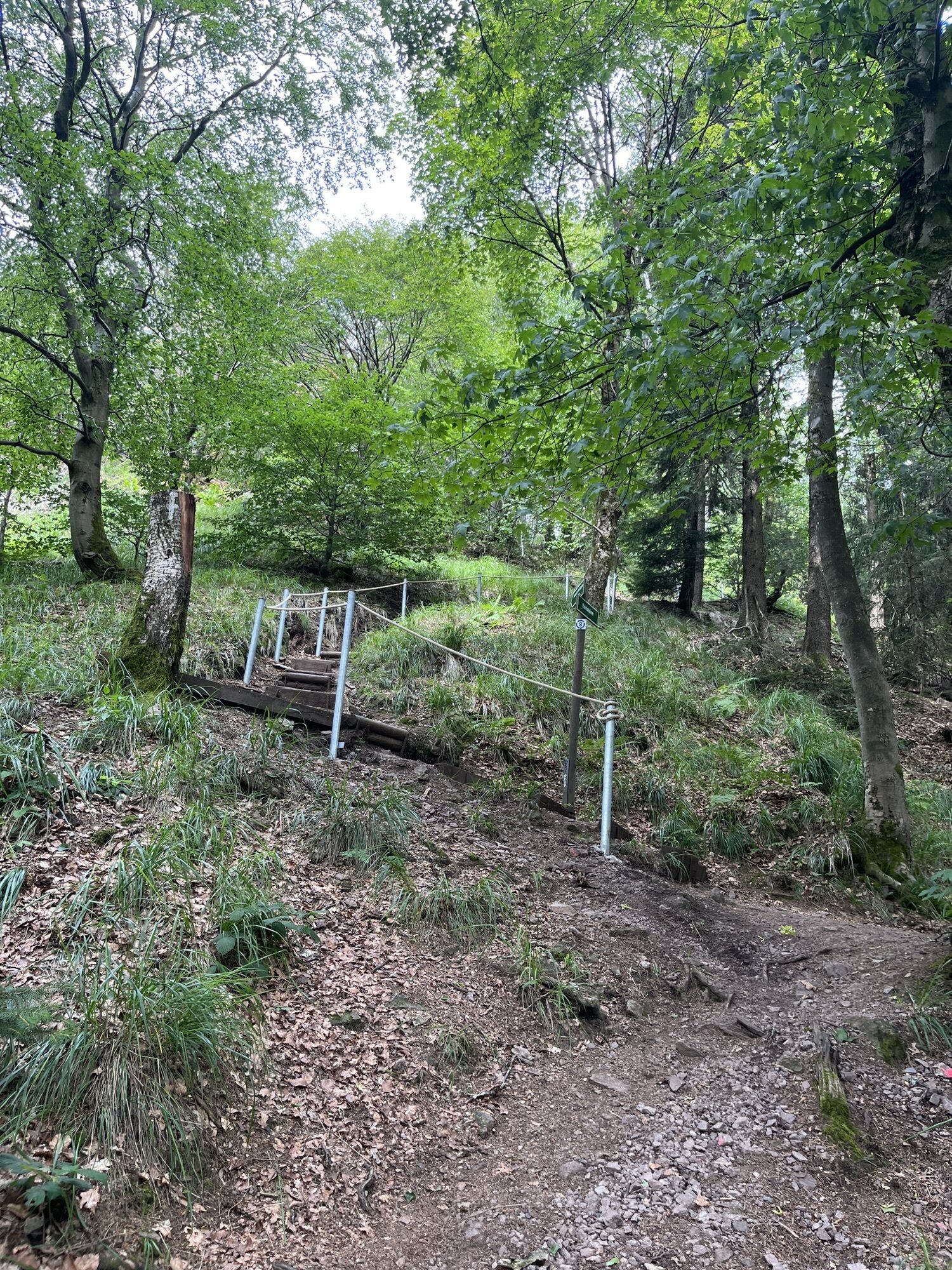
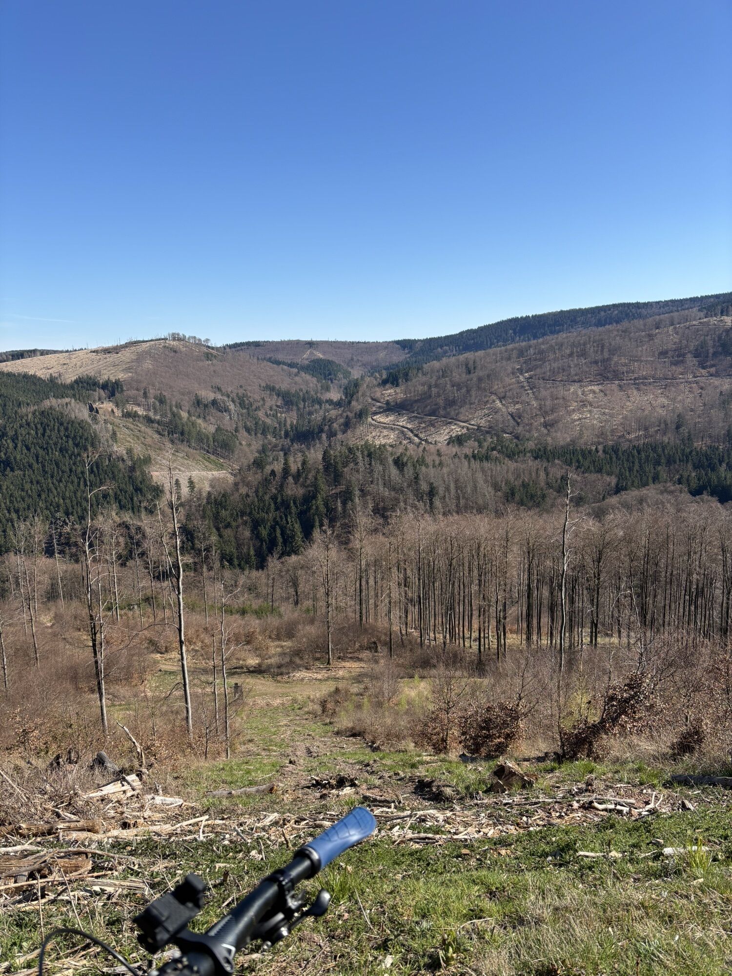
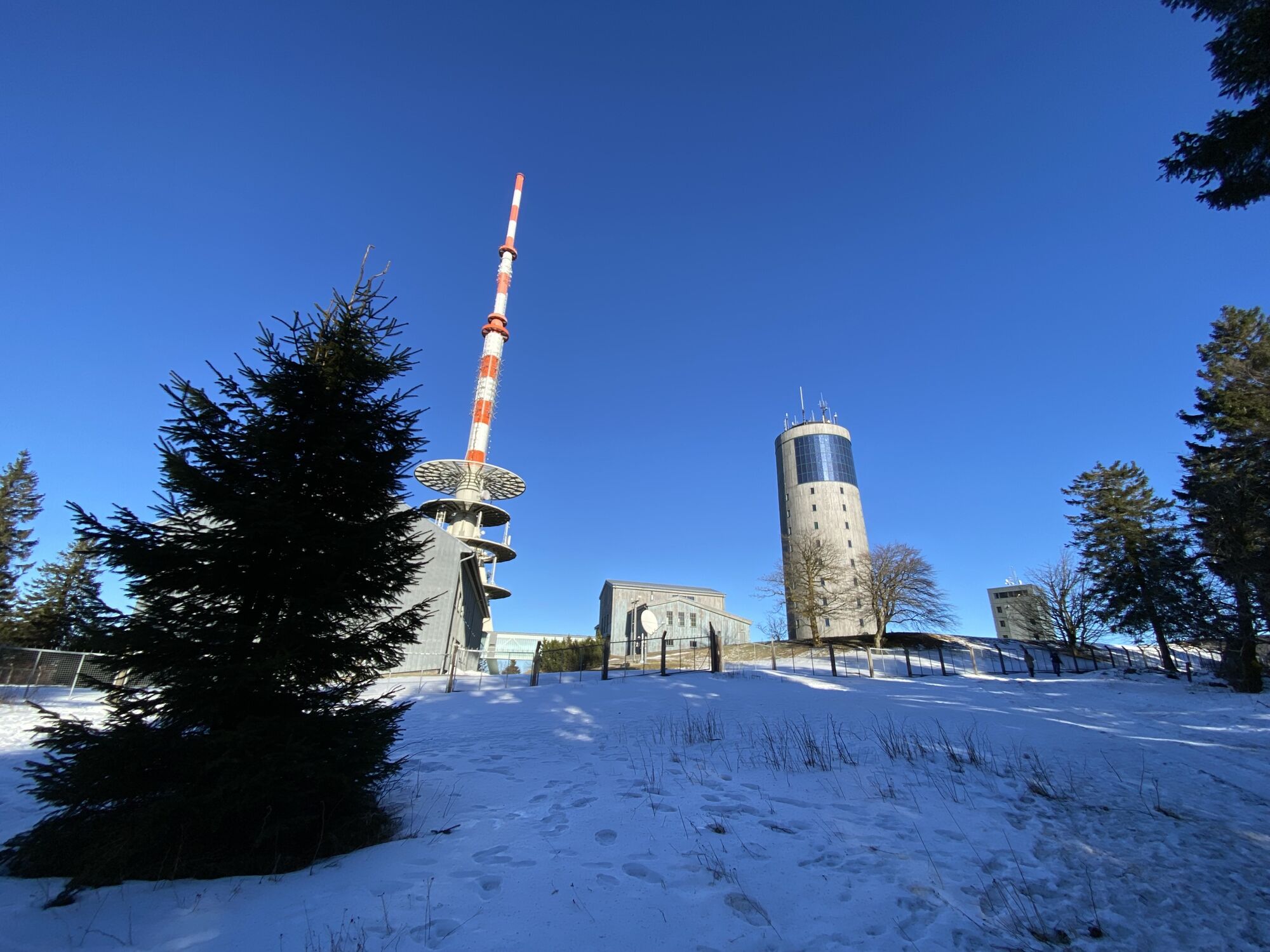
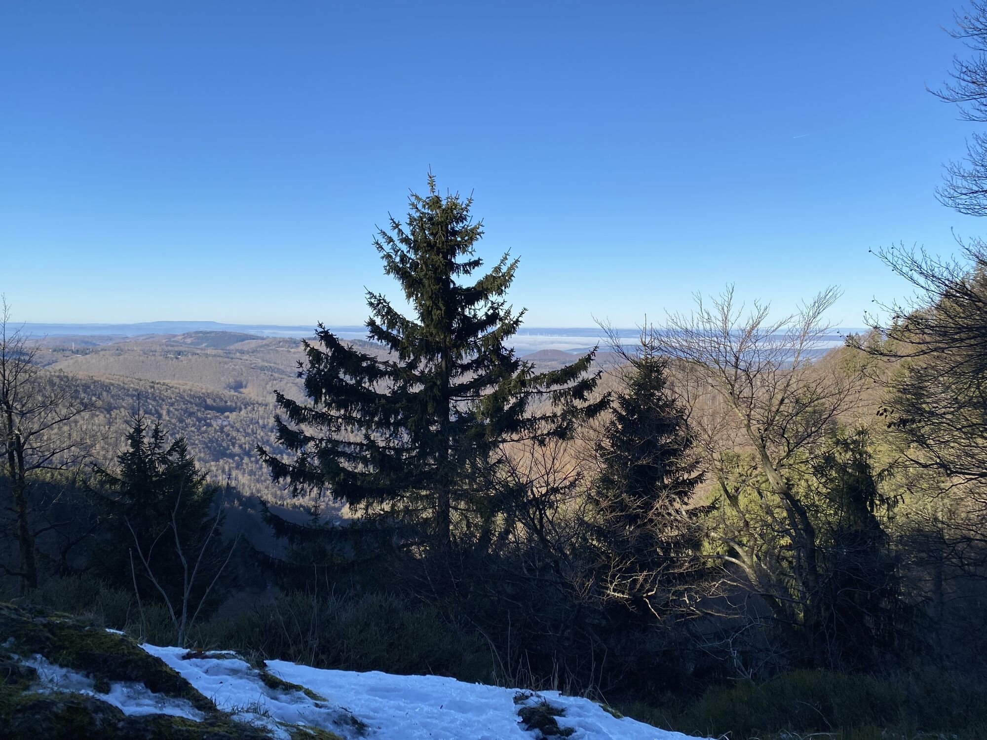
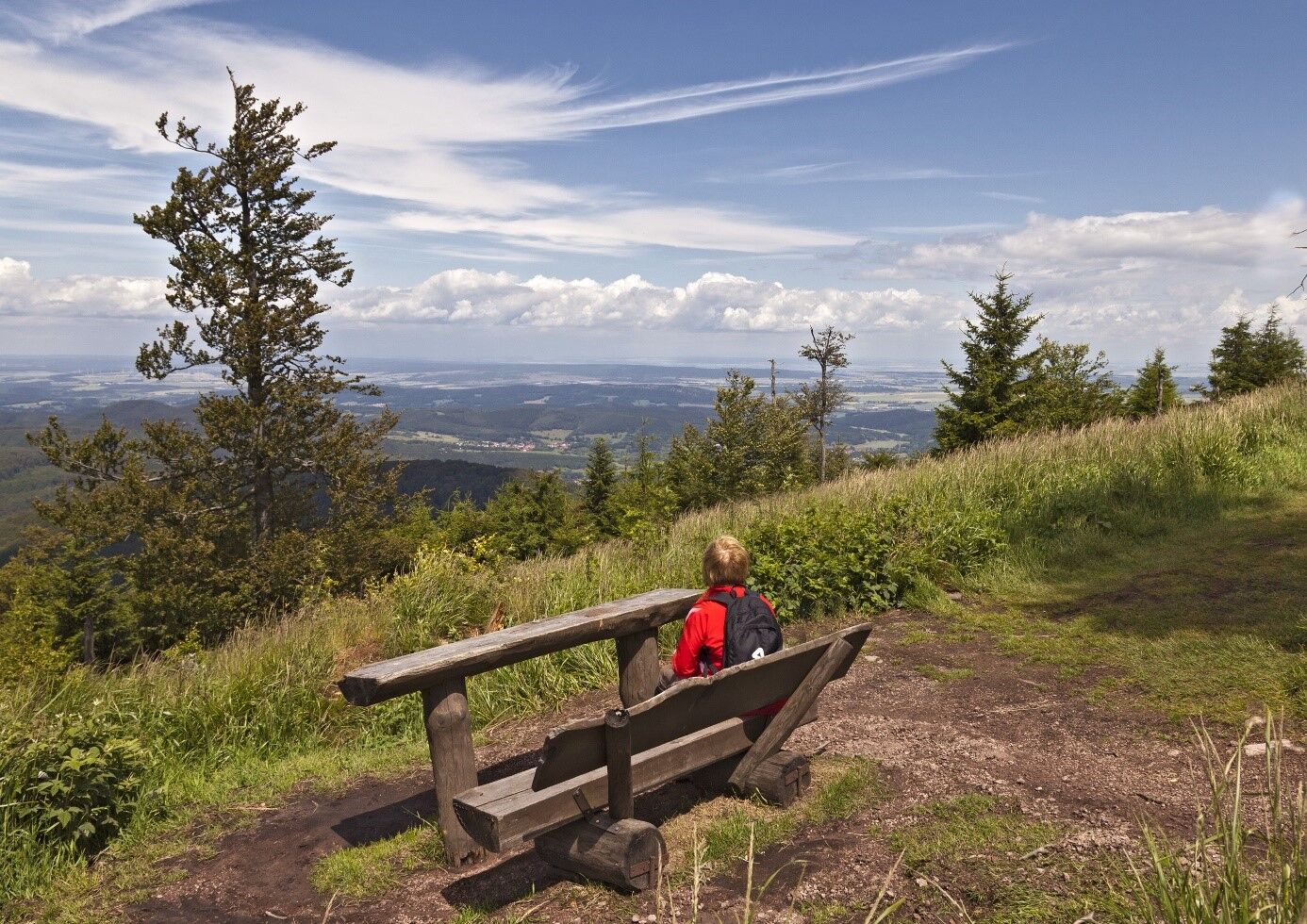
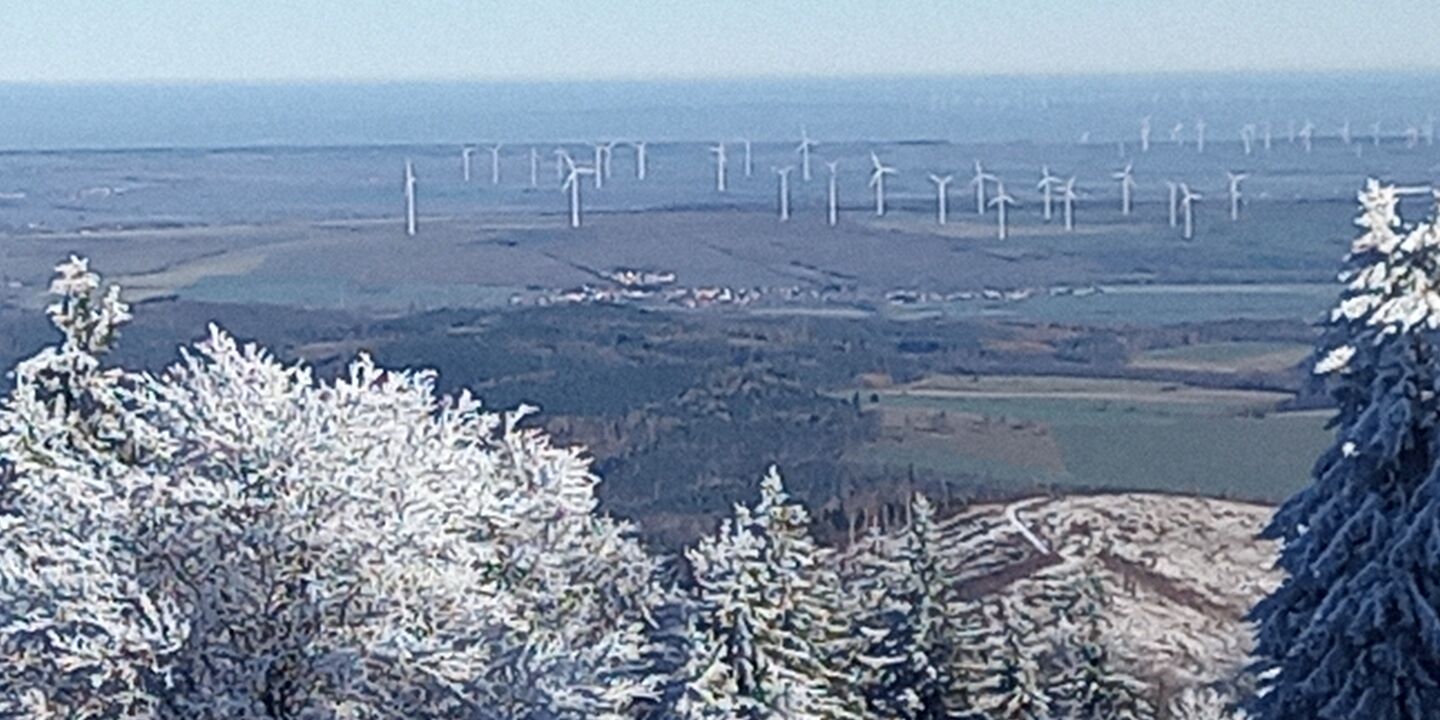
The unique distant view, which on a clear day extends as far as the Wasserkuppe in the Rhön and the Brocken in the Harz mountains, makes it a popular excursion and hiking destination. The most famous hiking...
The Inselsberg is the fourth highest mountain in Thuringia and can be easily recognized as a landmark from the north and west within a radius of around 30 - 50 km. For over 1000 years, it has marked historical borders between the districts of Gotha and Schmalkalden-Meiningen.
Route:
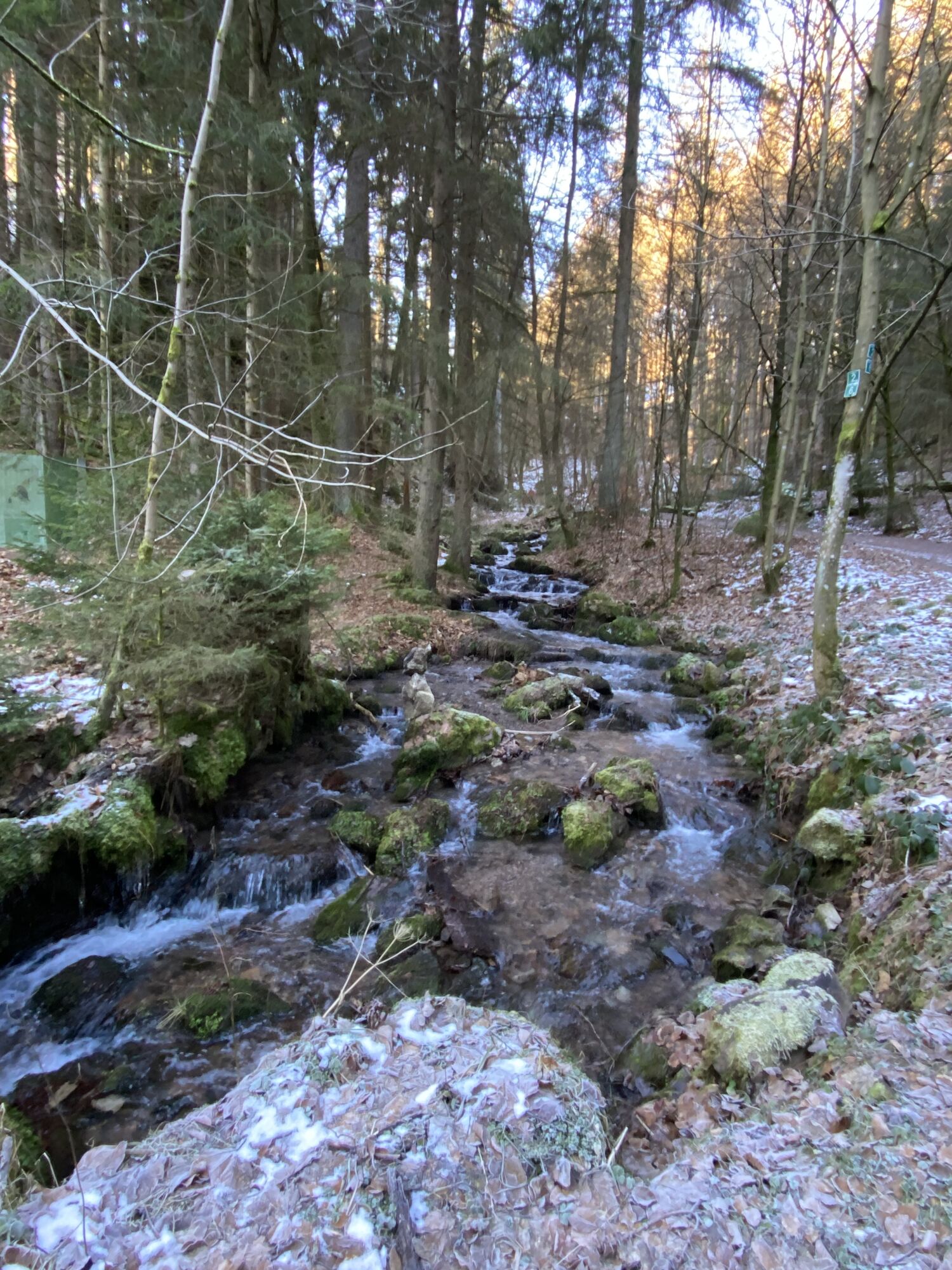
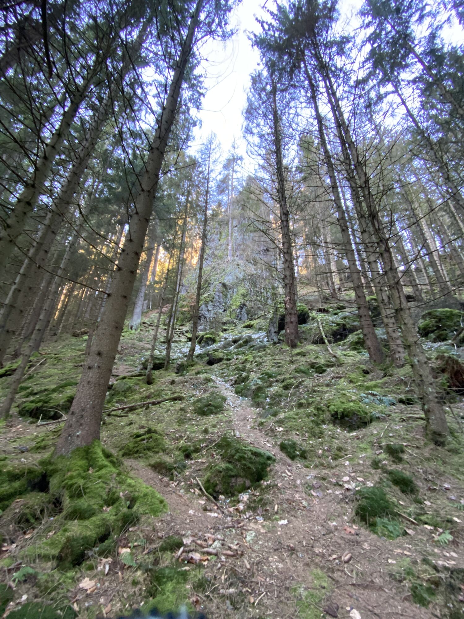
Tourist information - Seyfahrtswiese - Felschen - Rotenbergwiese (natural monument) - SchöHerrenmauer - lift parking lot - Grauer Weg - Rennsteig - Wartburgblick - Großer Inselsberg - ReitsteineGroßer Inselsberg - Reitsteine - Grenzwiese - Wilder Graben - Ritzenwiese (detour to Torstein recommended)- Felsental - Lauchagrund - Übelbergpromenade - Spindlereck - Tourist Information Center

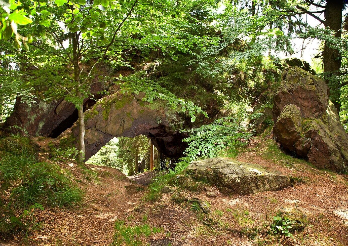
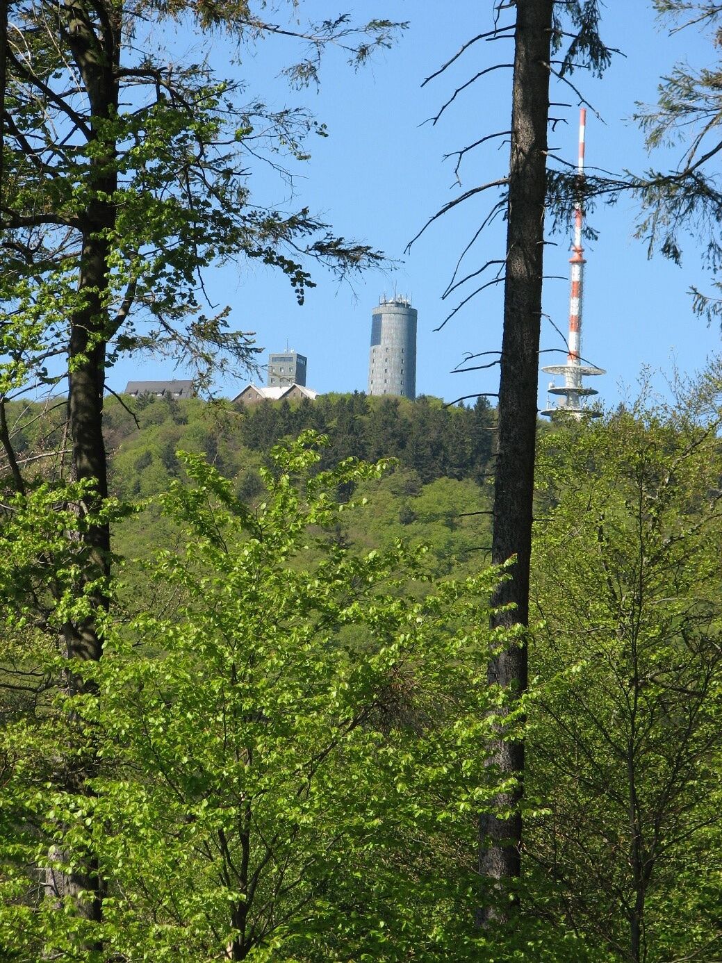
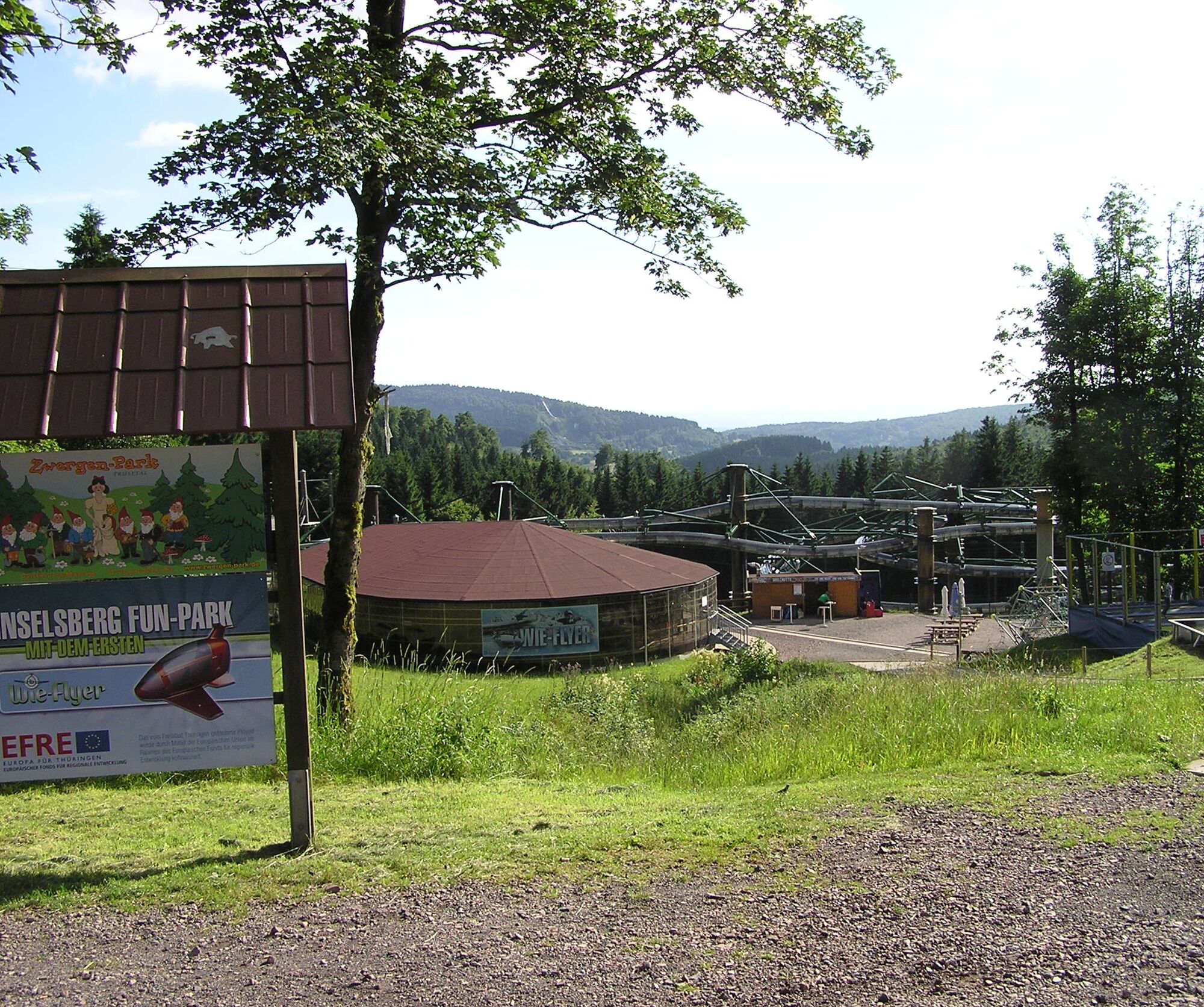
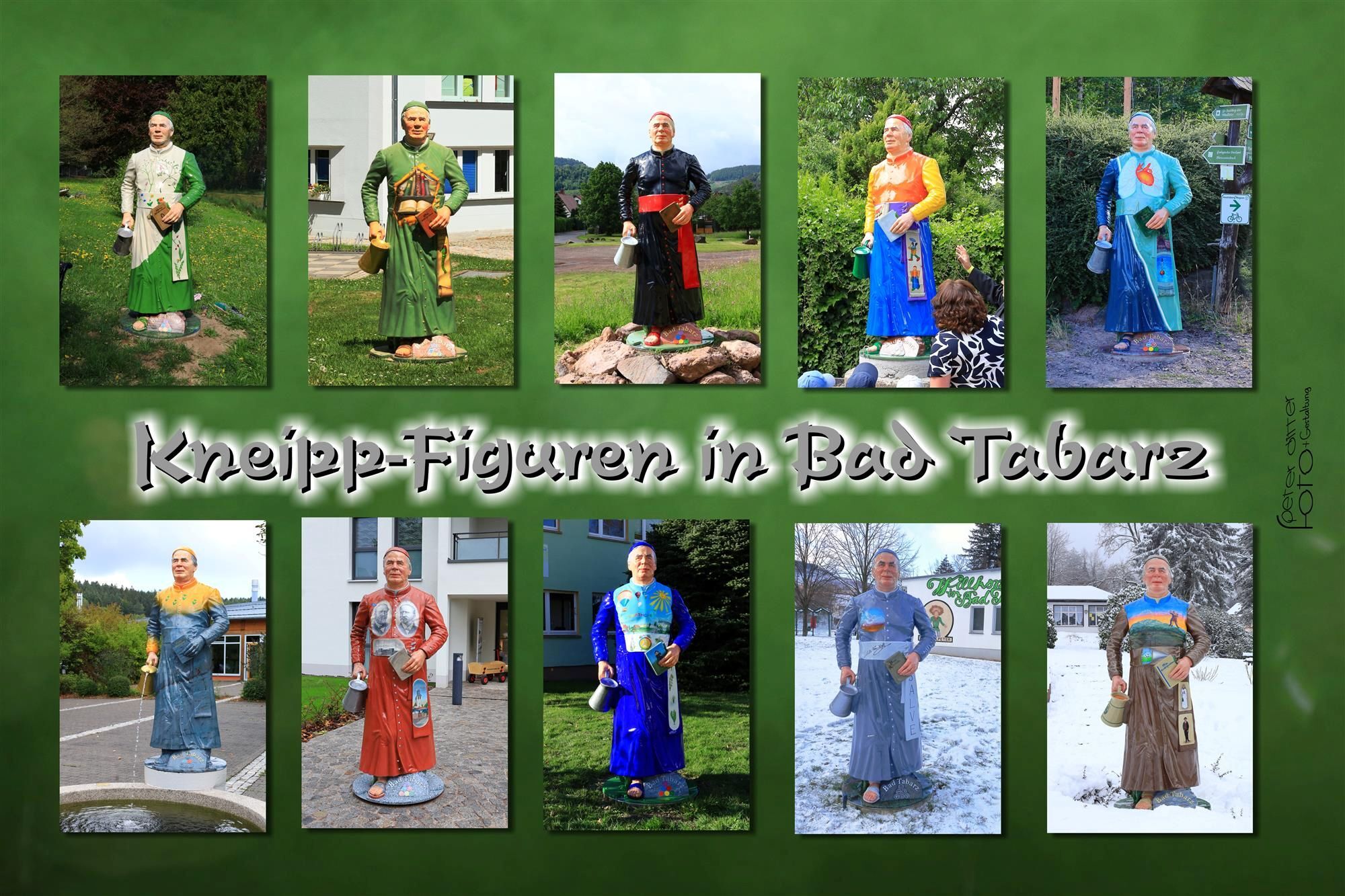
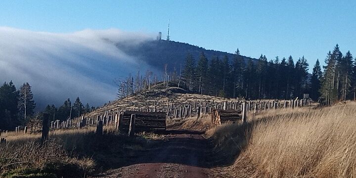
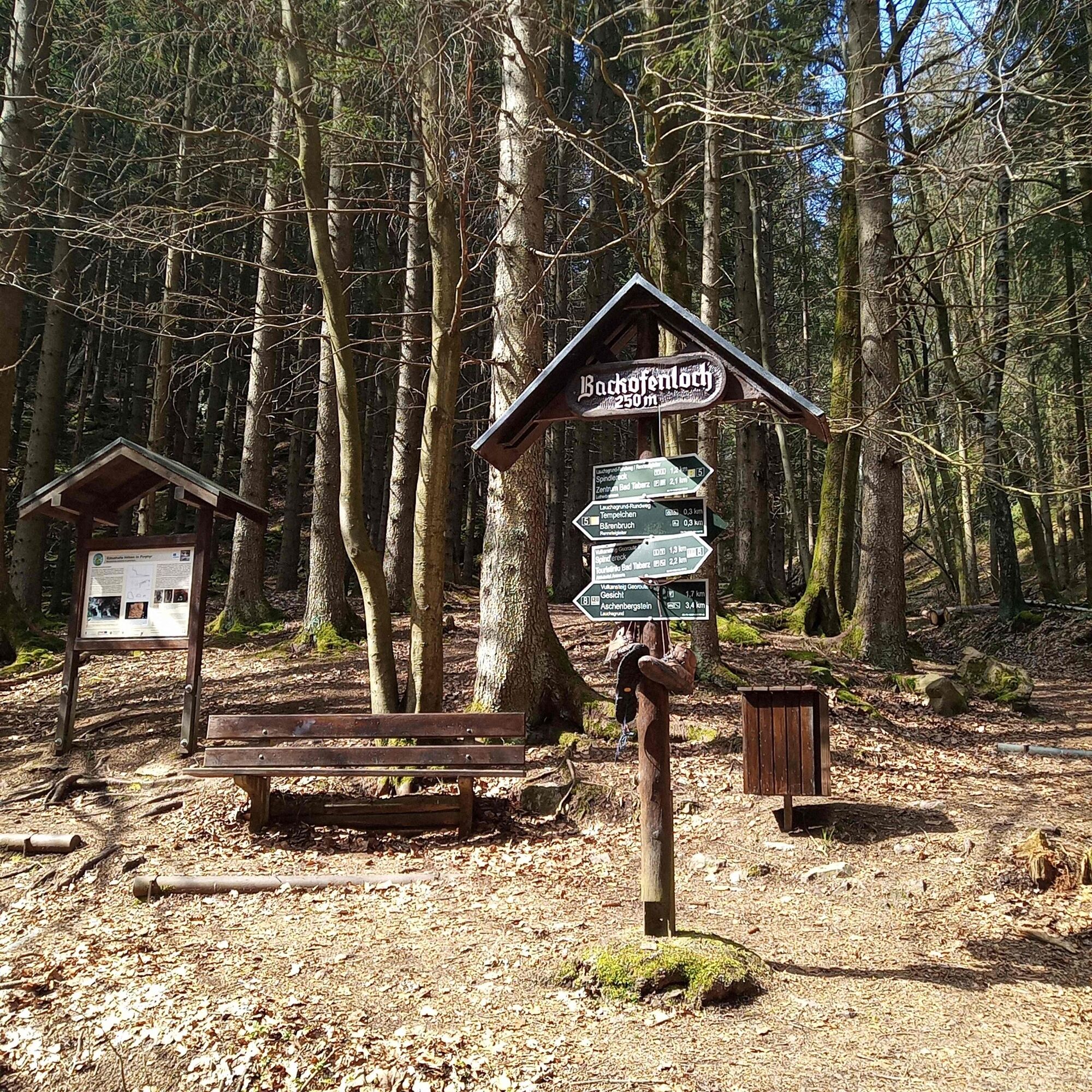
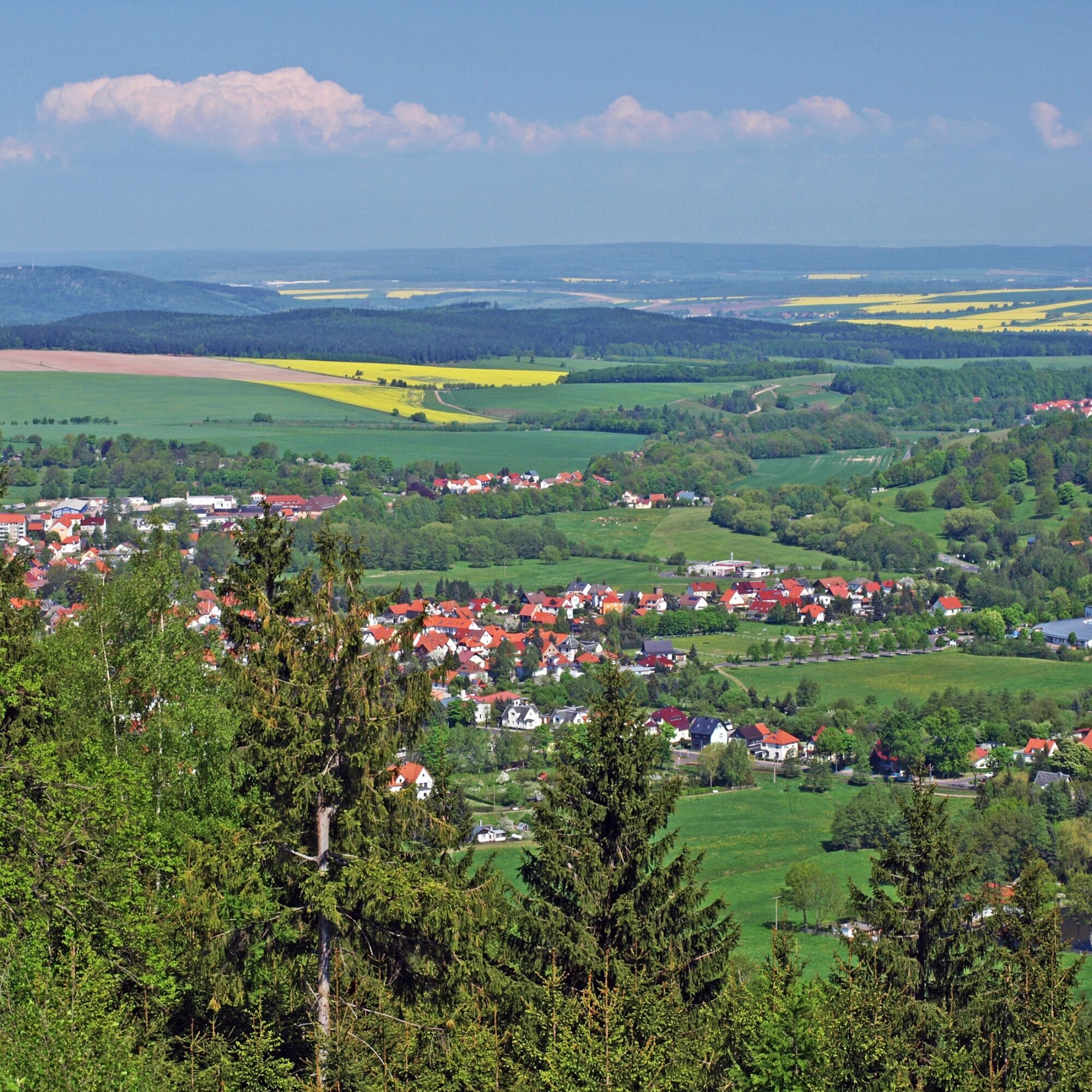
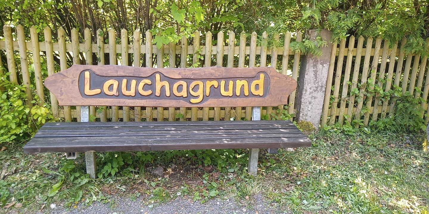
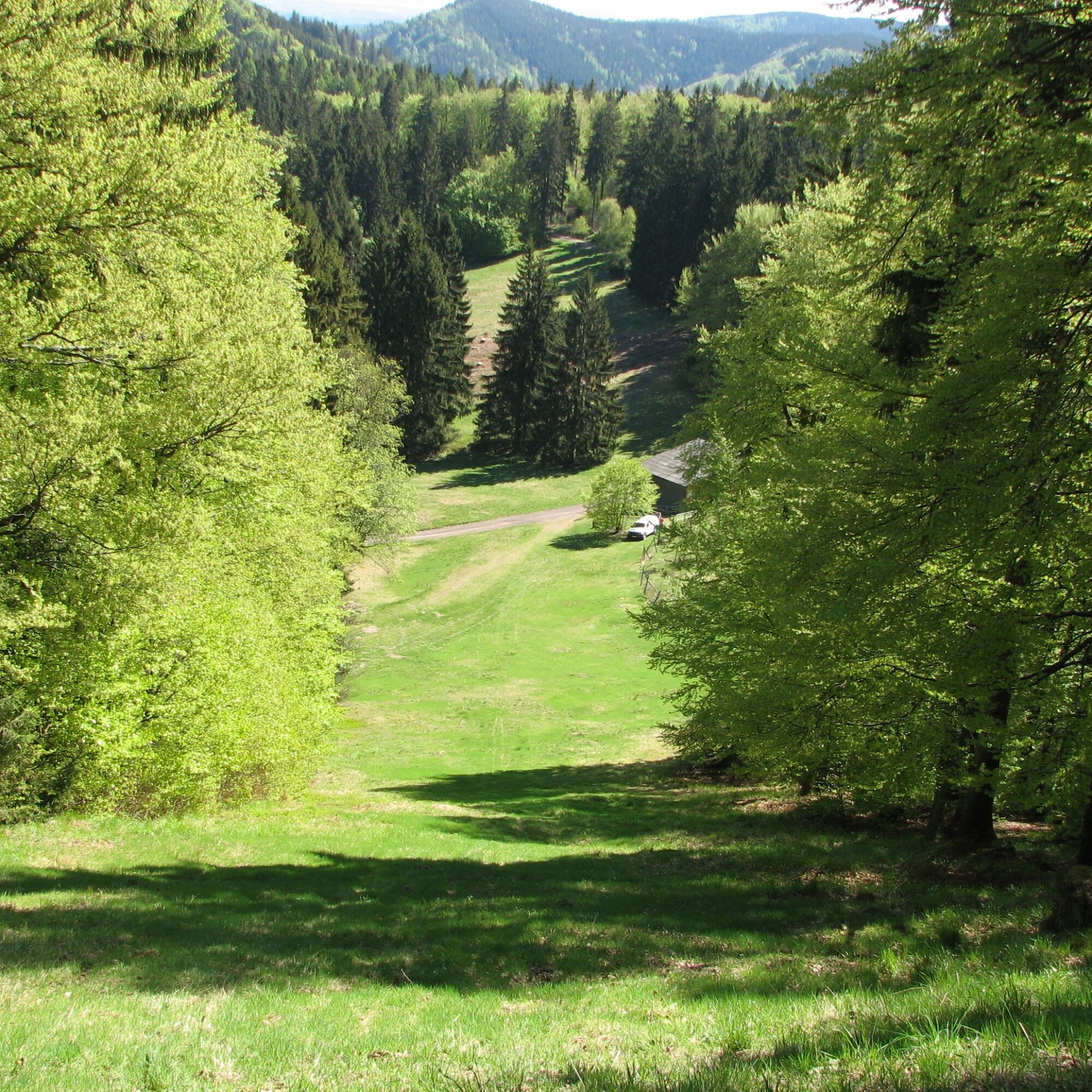
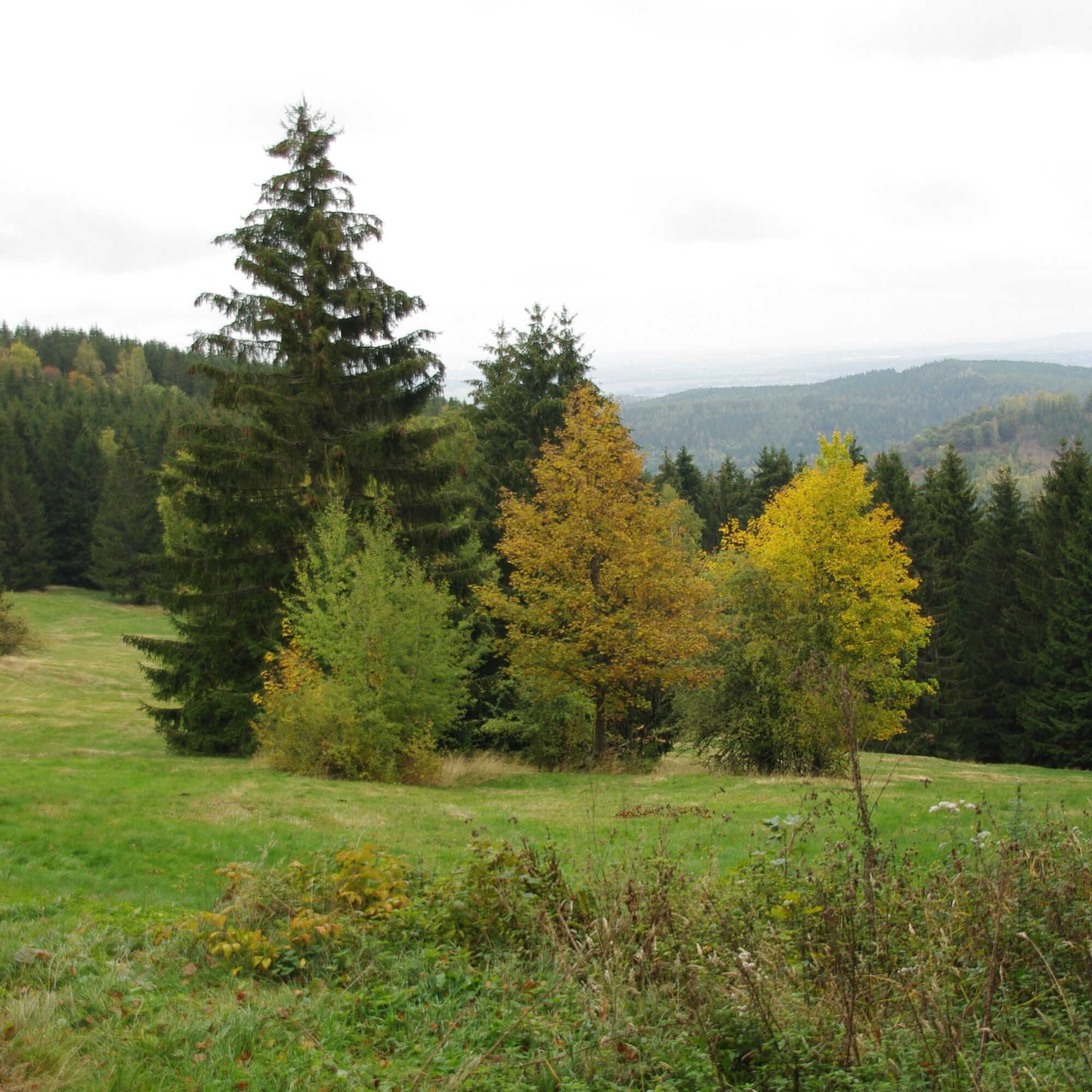

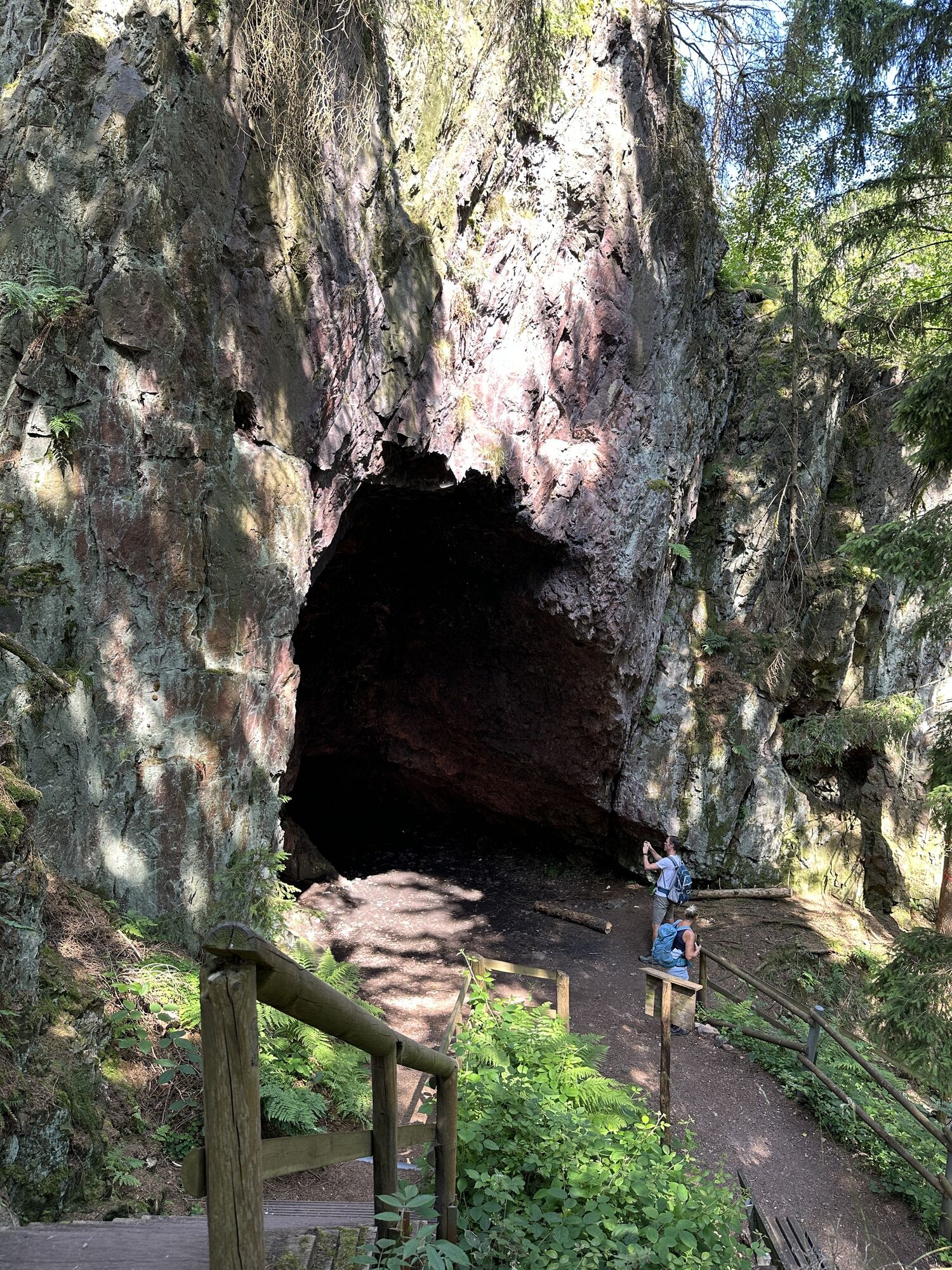
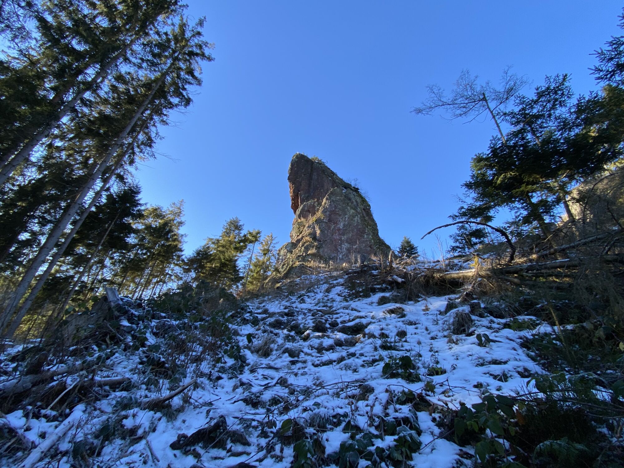
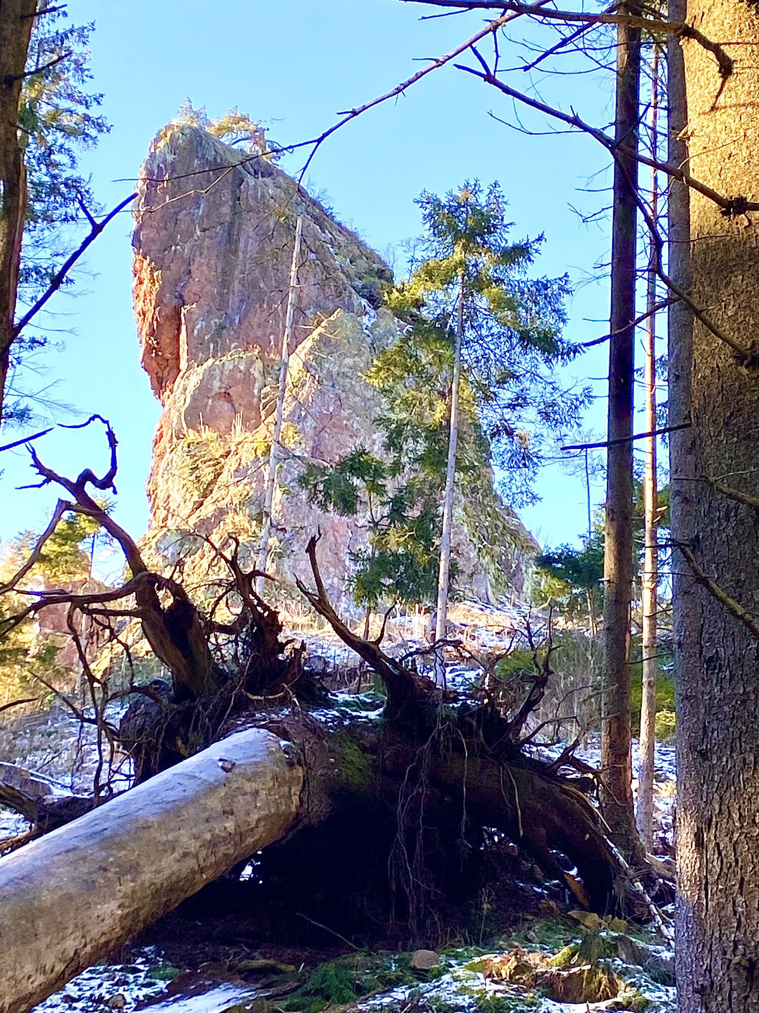
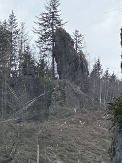
Leave the Großer Inselsberg via a staircase, past a parking lot and over the Reitsteine to the Grenzwiese. The Reitsteine (very difficult) can also be bypassed on the left. (Be careful crossing the road!) You reach a forest path behind the picnic area. Follow this to the sign for Wilder Graben, then turn right to Ritzenwiese. A detour to the Torstein is recommended here, continue left at the hut into the rocky valley and the Lauchagrund, then turn right over the bridge and immediately left again past the little temple to the Massemühle. After the small parking lot, turn right along the Übelberg promenade, past the Spindlervilla, the stone park and the fairytale meadow back to the starting point. Opposite the fairytale meadow, you can enjoy good home-style cooking at the Hotel Arenaris.
On very hot days, we recommend walking the tour in a clockwise direction. The advantage of this is that you can walk uphill in the cool Lauchagrund.
Da
Da
Sturdy shoes
Rainwear
First aid kit
GPS navigation device or smartphone
Walk at your own risk!
Sturdy shoes and hiking poles are important.
Navi input for hiking meeting point: 99891 Bad Tabarz Lauchagrundstraße 12a
GPS: 32 U 606441 5637018
Take the train to Gotha main station. From there, take the Thuringian Forest Railway Line 4, which takes you on an interesting and leisurely ride through the foothills of the Thuringian Forest to the terminus at Bad Tabarz after approx. 45 minutes. If you already have a Bad Tabarz spa card, travel on the Waldbahn is free of charge.
www.vmt-thueringen.de or the VMT app
Bad Tabarz can be reached by bus lines 445/146 from Schmalkalden (DB connection), simply use the following link to plan your journey:
→ Travel to Bad Tabarz
Just add the desired travel date and your starting point.
There are further parking spaces in the town center behind the Sparkasse bank and in the Wandertreff area on Lauchagrundstraße.
You will find a large parking lot and motorhome parking space at the "tabbs" health spa.
T3
thueringer-forest.com
At the Schönen Leite, be sure to take a photo of the Großer Inselsberg.
You can refresh yourself at the lemonade fountain in the Lauchagrund.

Spletne kamere s turneje


Priljubljeni izleti v okolici
-
5.0
EA1 - Circular route - Gorge tour near Eisenach - Thuringian Forest
srednjaPohodništvo 9.68 km -
4.6
Summit and panoramic route - Route 1 - Bad Tabarz
srednjaPohodništvo 10.9 km -
4.7
IVV PW + GTW "In Luther's footsteps - Luther, dragons, landgraves, rose miracle..."
srednjaPohodništvo 15.8 km -
3.8
Wanderung zum Spitterfall
srednjaPohodništvo 14.6 km -
Tabarzer Vulkansteig
srednjaPohodništvo 9.91 km -
4.5
Circular hike - Legendary Hörselberge - Great Hörselberg near Eisenach - Thuringian Forest
srednjaPohodništvo 10.6 km -
4.4
Circular hiking trail - "Trusetal Landmark Route" - Thuringian Forest
svetlobaPohodništvo 4.02 km -
3.2
Von Friedrichroda zum großen Inselsberg
srednjaPohodništvo 22.4 km -
3.5
Backofenloch circular route - route 6 - Bad Tabarz
srednjaPohodništvo 7.04 km -
4.0
Circular route - Tanzbuche - Friedrichroda - Thuringian Forest
srednjaPohodništvo 10.2 km
Pohodništvo in sledenje


Ne zamudite ponudb in navdiha za naslednje počitnice
Vaš e-poštni naslov je bil dodan na poštni seznam.





