


Hike - “Ochsenbacher Pond” - Neustadt am Rennsteig - Thuringian Forest
Fotografije naših uporabnikov

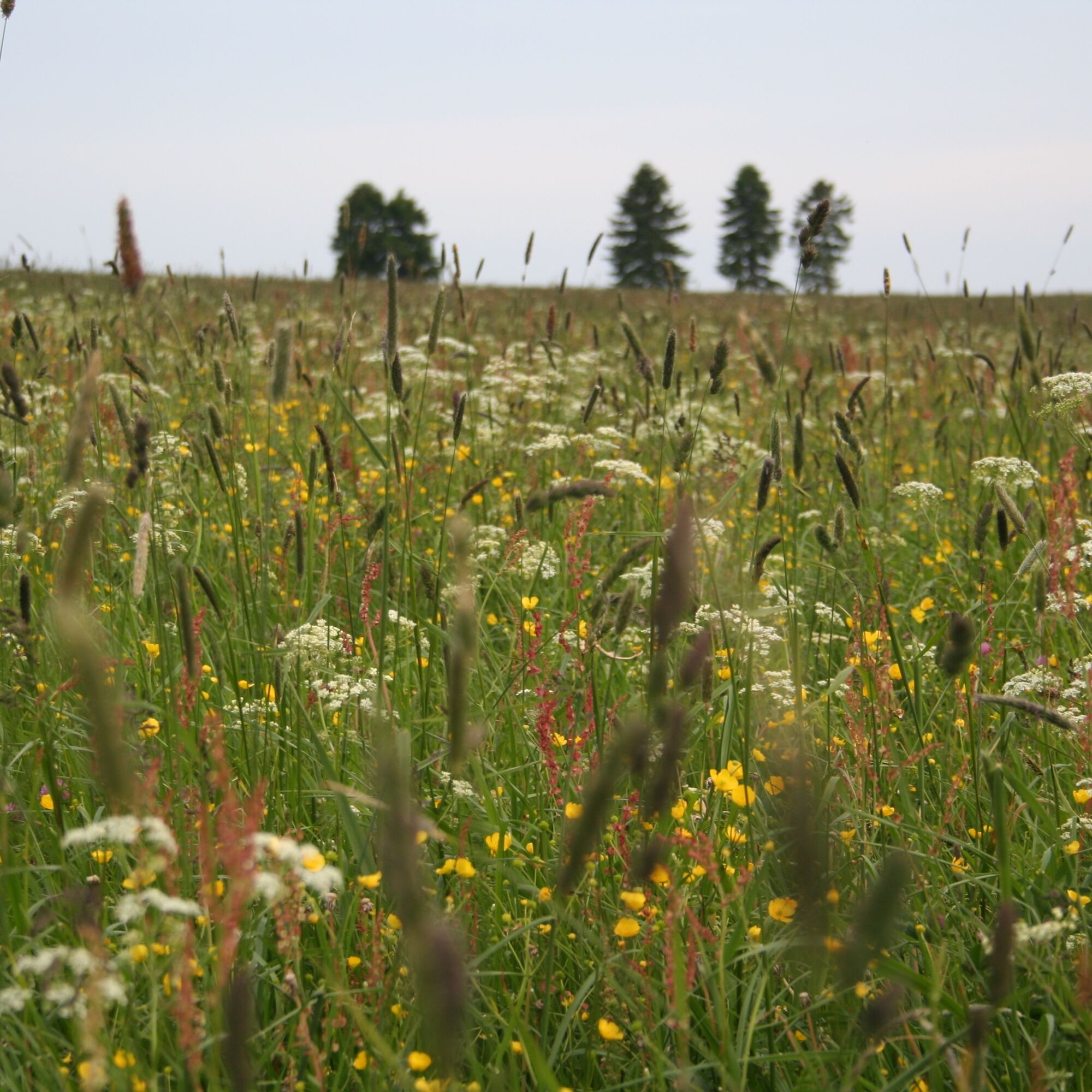
Starting from the car park, the path leads along the Rennsteig over the mountain meadows around Neustadt am Rennsteig.
Next, you have to master the short climb to Burgberg, then go long downhill to the...
Starting from the car park, the path leads along the Rennsteig over the mountain meadows around Neustadt am Rennsteig.
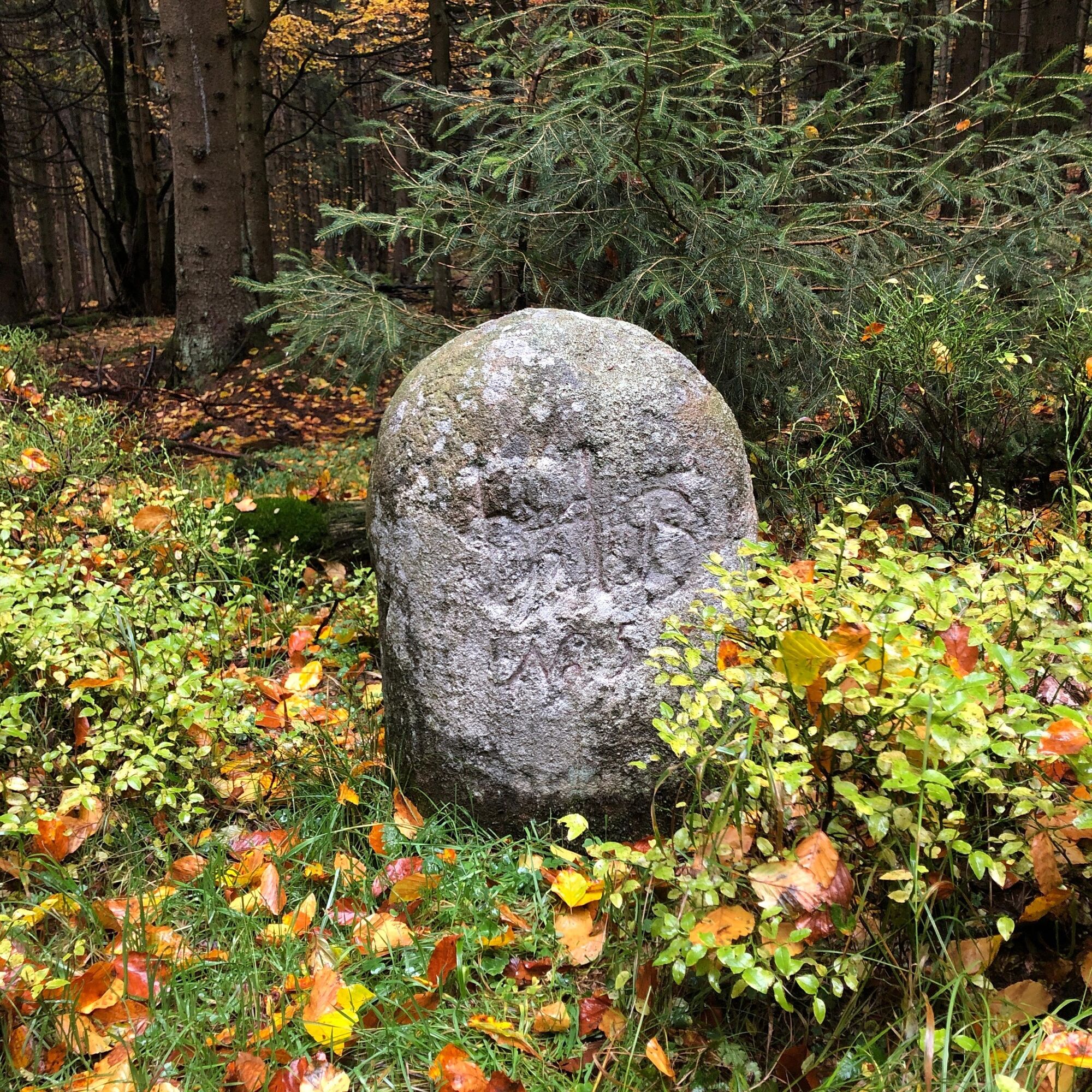
Next, you have to master the short climb to Burgberg, then go long downhill to the road crossing. The path gradually climbs up to the Dreiherrenstein.
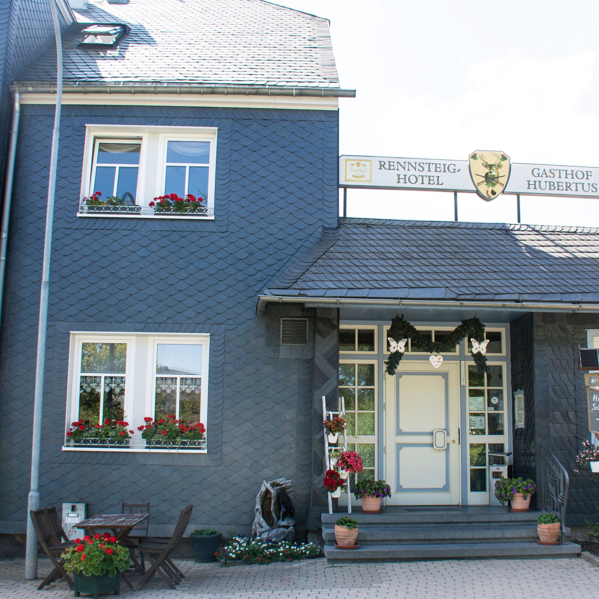
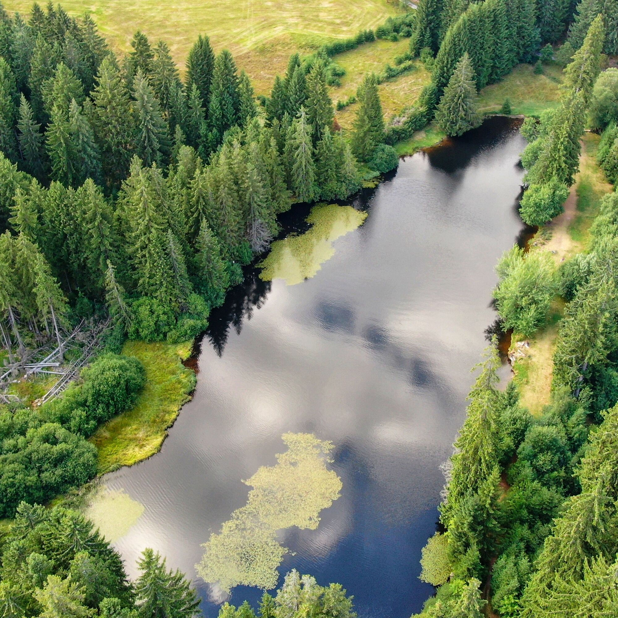
Here, turn right towards Rosenborn, a tapped spring with clear water. Continue on a wide gravel path towards Fürstenberg with a wonderful view. From here, it gently descends via the old Öhrenstocker Street, a forest road, to the Hubertus hunting lodge and finally to the Ochsenbacher Pond.
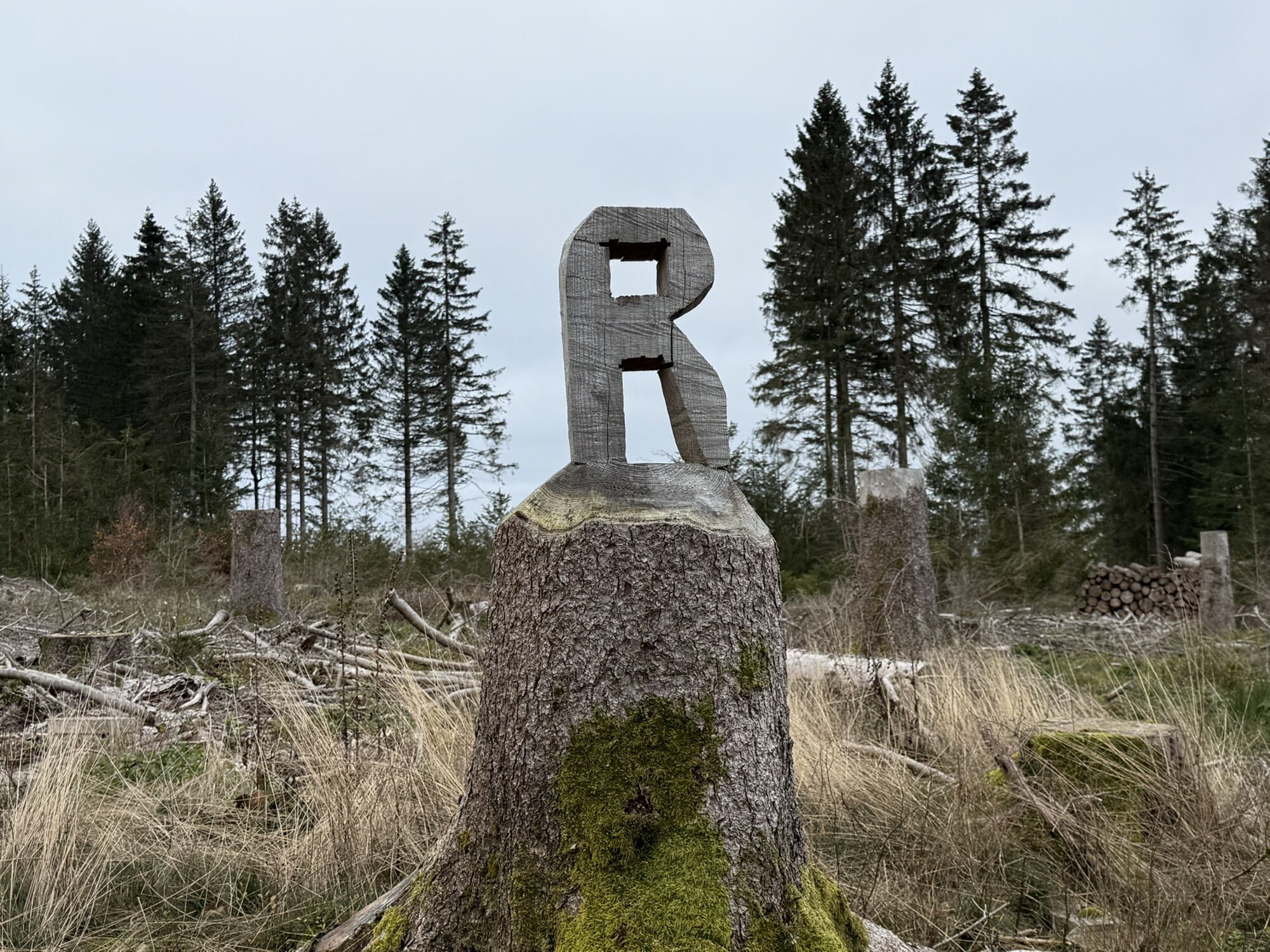
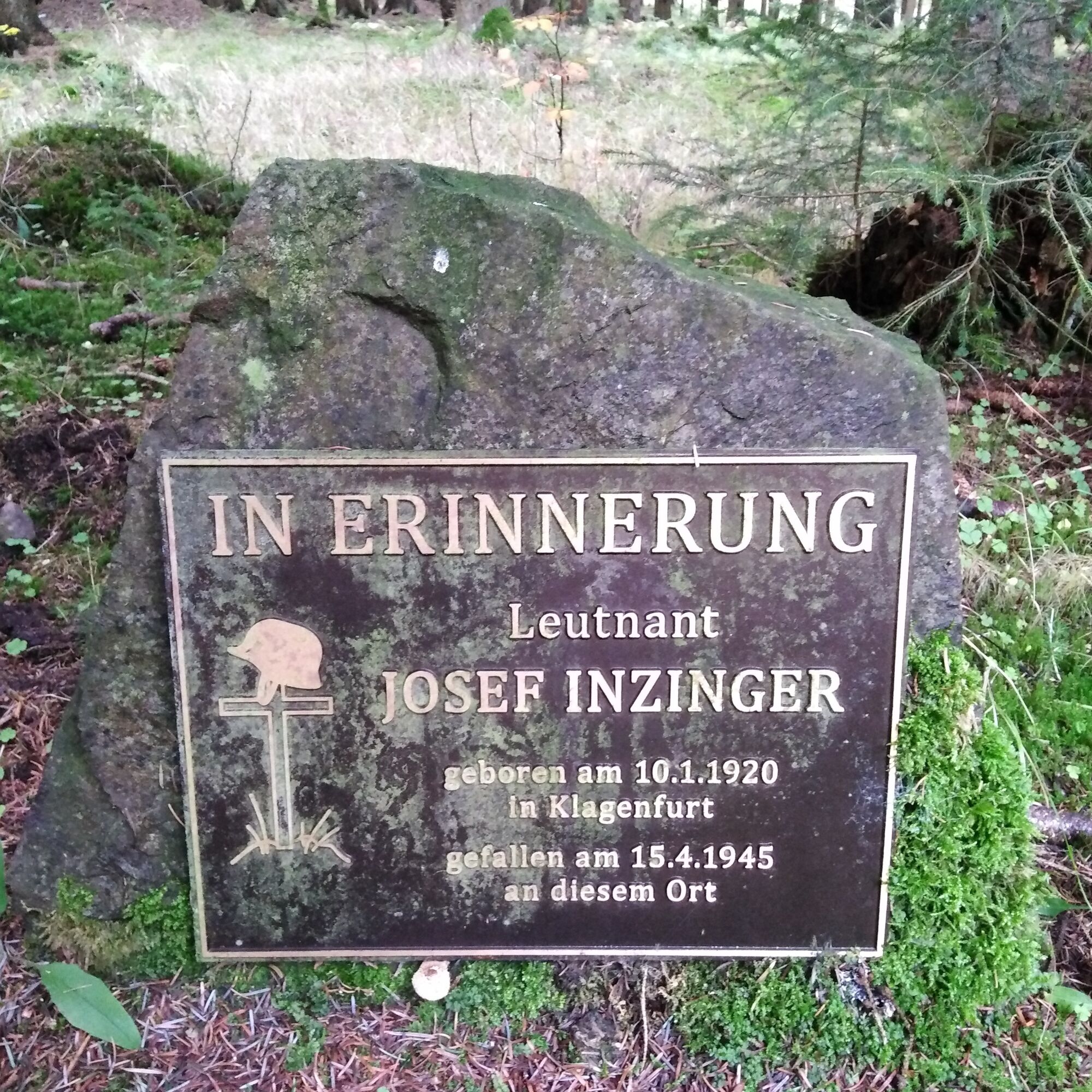
From there, the route goes uphill on the Schmiedsweg to the Schwarzburg cemetery in Neustadt am Rennsteig.
Then a narrow asphalt strip along “behind the village” to Rennsteig Street. Turn right about 200 m on the sidewalk past the Landhaus Café Edelweiss to the starting point, the hiking car park at the Blockhaus.


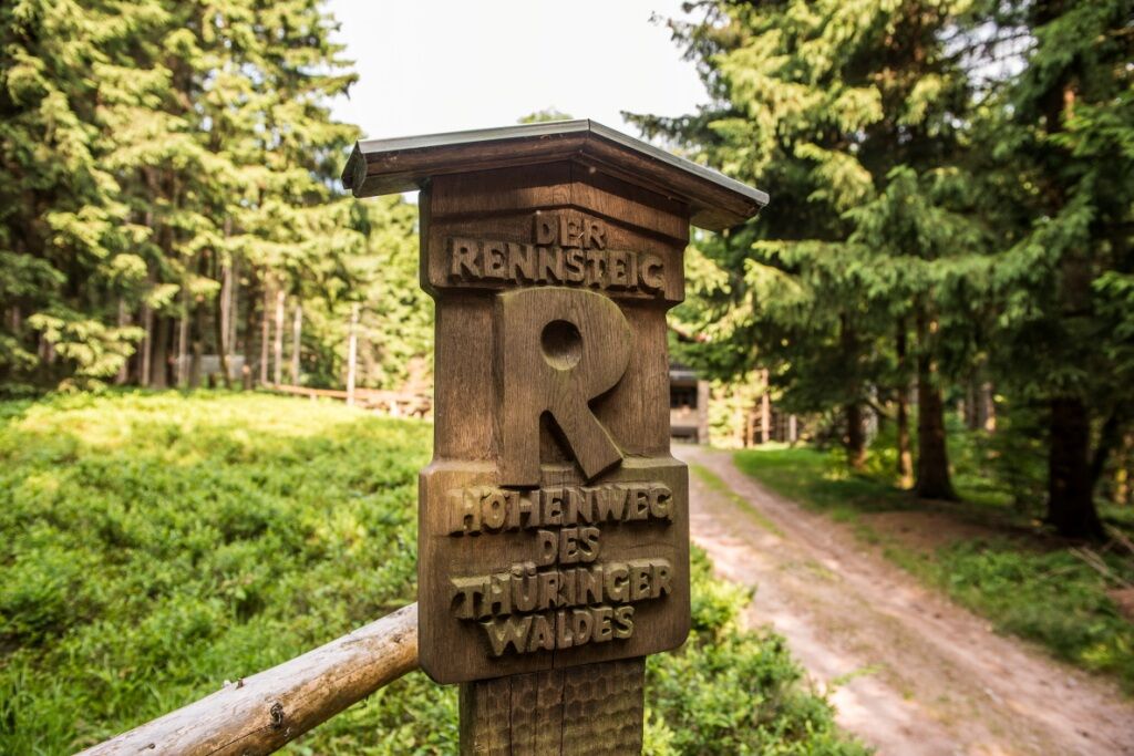
Hiking car park - Rennsteig - Burgberg - Dreiherrenstein - Rosenborn spring - Viewpoint at Fürstenberg - old Öhrenstocker Street - Hubertus hunting lodge - Ochsenbacher Pond - Schmiedsweg - Neustadt am Rennsteig - Rennsteig - Landhaus Café Edelweiss - Hiking car park
Sturdy footwear
Rainwear
First aid kit
GPS navigation device or smartphone
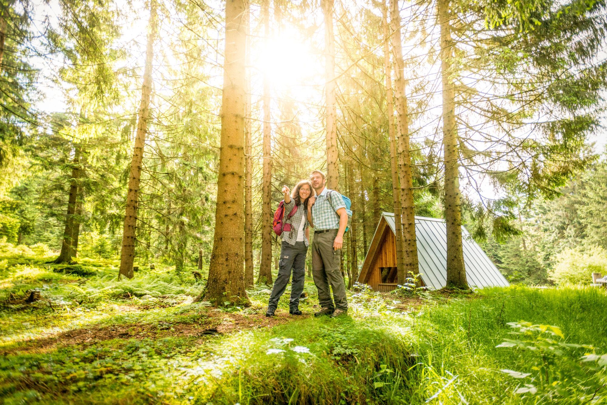
Observe the typical dangers of the forest! Walking is at your own risk! Avoid walking on moss-covered stones and rocks due to the risk of slipping and watch out for deadwood, branches, and fallen trees.
A71 exit Ilmenau West, 16 km directly to Neustadt am Rennsteig
A71 exit Ilmenau East, 19 km via Gehren and Möhrenbach to Neustadt am Rennsteig
You can reach Ilmenau by trains of the German and Erfurt Railways. For detailed travel information, please use the German Rail travel portal.
Bus line 304 from Ilmenau to Neustadt am Rennsteig (daily) IOV
Bus line 209 from Eisfeld via Masserberg to Neustadt am Rennsteig and back (weekdays) Werrabus
Bus line 202 from Schleusingen via Masserberg to Neustadt am Rennsteig, continuing to Frauenwald and Schmiedefeld/Rstg. and Schleusingen (on weekends and holidays)
Car park in the village center at the Nahkauf supermarket, opposite the church (Google nav point)
Hiking car park at the depot, western village exit (Google nav point)
Ochsenbacher Pond
Rennsteig museums
Priljubljeni izleti v okolici
-
4.4
Circular route - Around the Heyda Dam - Thuringian Forest
srednjaPohodništvo 7.59 km -
5.0
Naturlehrpfad Gießübler Schweiz
srednjaPohodništvo 7.99 km -
3.0
Circular hike - "4 ponds hike" Neustadt am Rennsteig - Thuringian Forest
težkoPohodništvo 12.6 km -
3.8
Rundweg Talsperre
srednjaKolesarjenje 14.5 km -
The Rennsteig - long-distance hiking trail from Hörschel to Blankenstein - Thuringian Forest
težkoPohodništvo v daljavo 169.0 km -
4.5
Hike over the Rennsteig & the Schneekopf to the Schmücke
težkoPohodništvo 20.9 km -
5.0
Circular hiking route - TOP 1 - Werra Source - Masserberg - Thuringian Forest
srednjaPohodništvo 5.94 km -
5.0
Hiking - Summit hiking trail - Suhl-Goldlauter - Thuringian Forest
težkoPohodništvo 32.1 km -
Circular hike - Around the Schönbrunn reservoir - Thuringian Forest
srednjaPohodništvo 15.6 km -
4.0
Circular hiking trail - TOP 4 - Masserberg - Fehrenbach Switzerland - Thuringian Forest
srednjaPohodništvo 11.5 km

Pohodništvo in sledenje


Ne zamudite ponudb in navdiha za naslednje počitnice
Vaš e-poštni naslov je bil dodan na poštni seznam.