






Circular hiking trail - TOP 4 - Masserberg - Fehrenbach Switzerland - Thuringian Forest

Stopnja težavnosti: T2
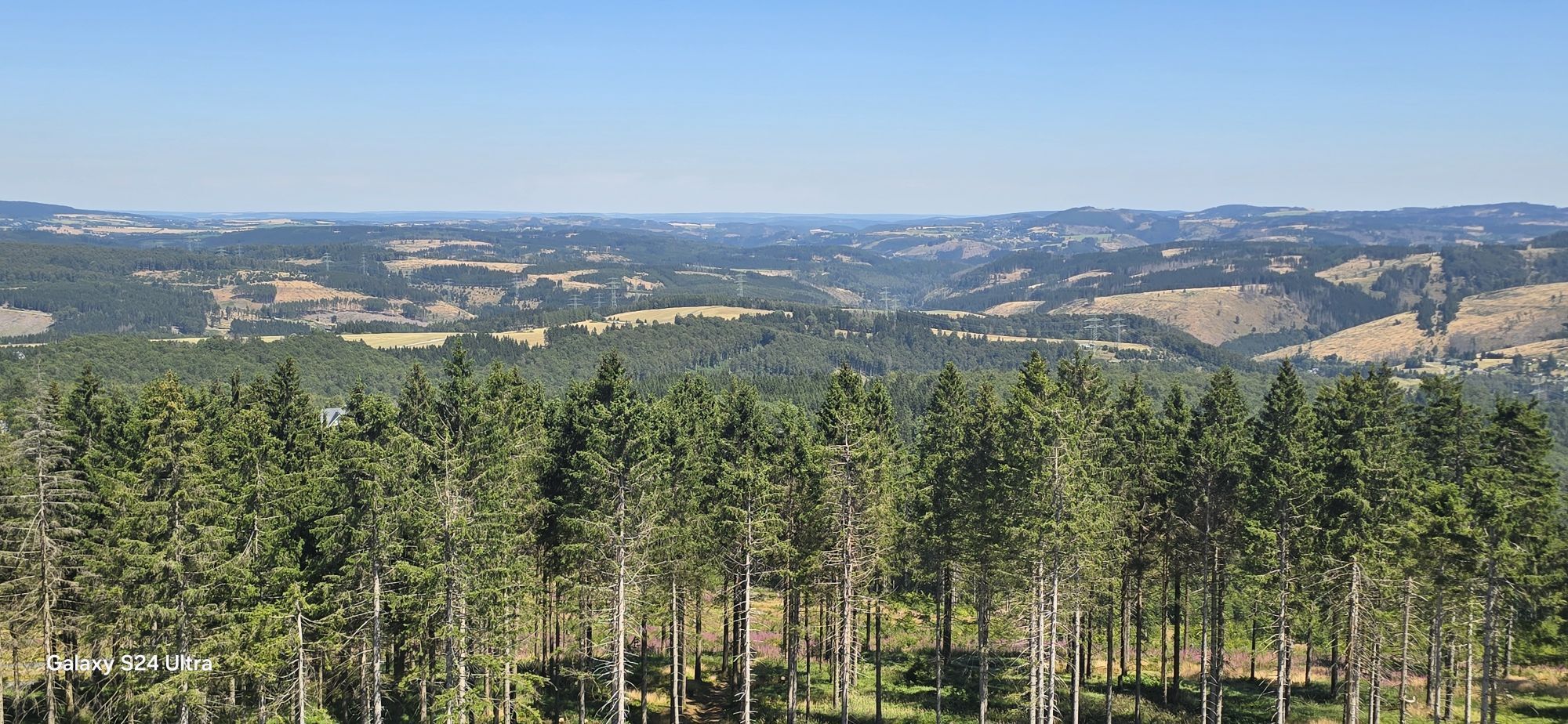
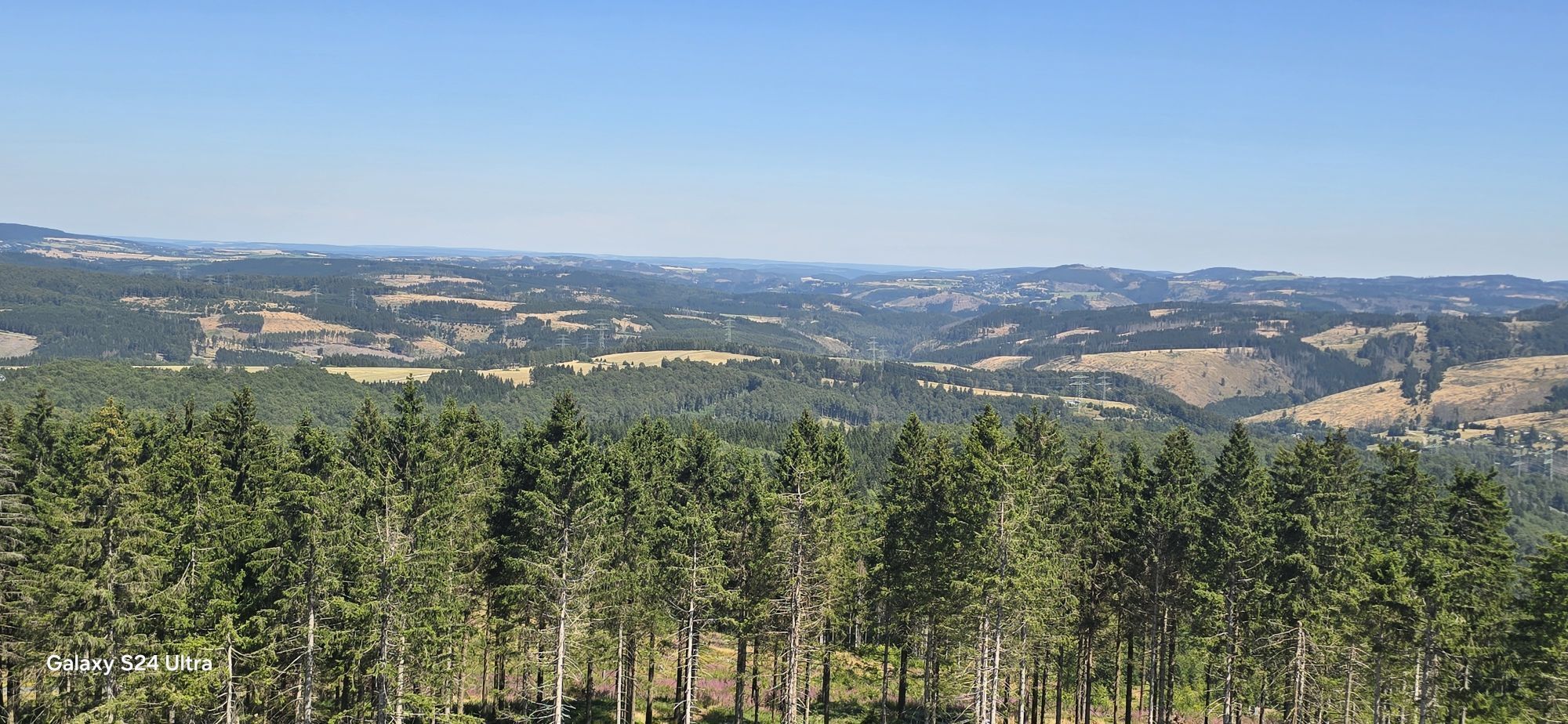
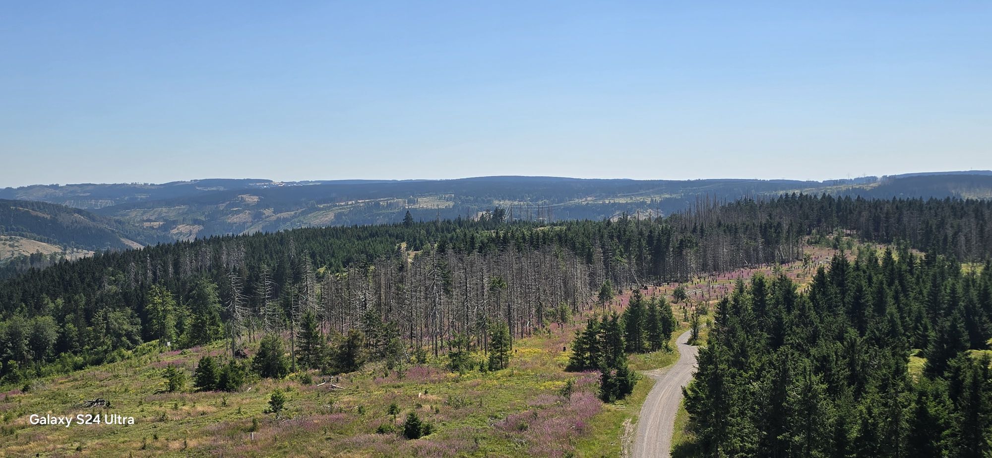
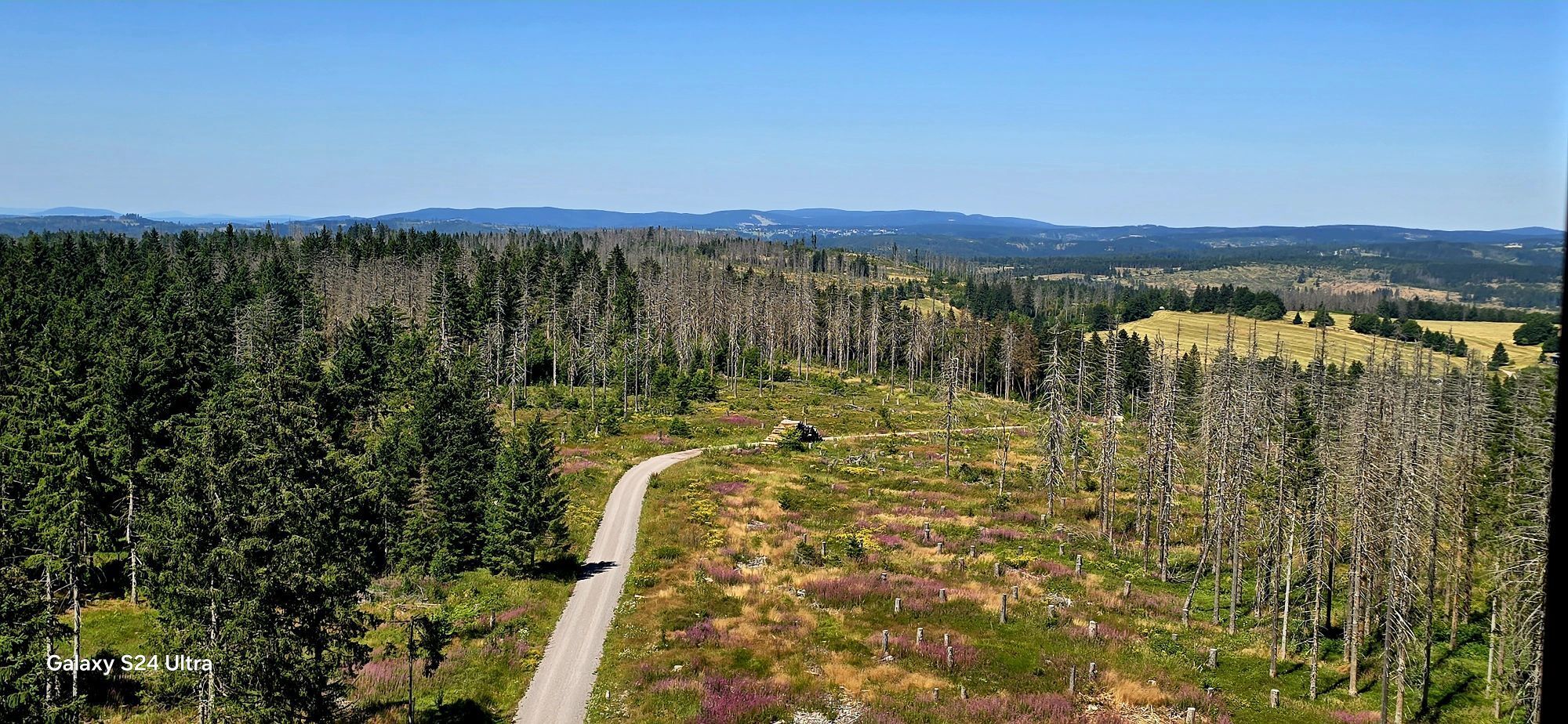
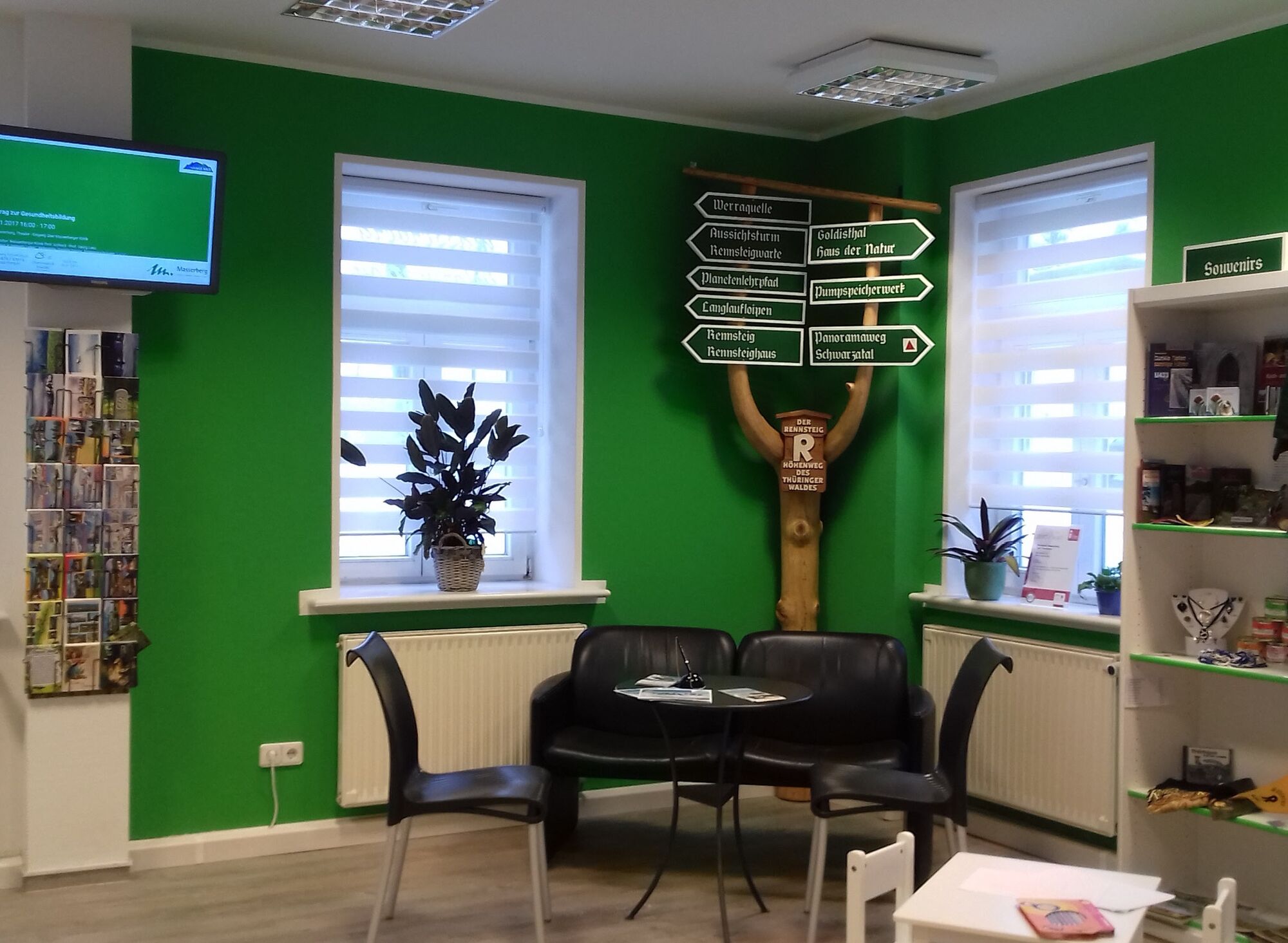
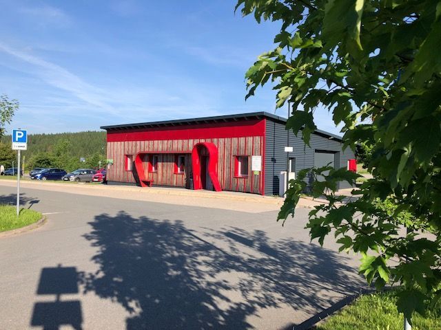
You start at the Rennsteighaus in Masserberg, where you can conveniently park your car directly at the start of the circular hike.
Set off along the Rennsteig towards the toboggan run on the left side....
You start at the Rennsteighaus in Masserberg, where you can conveniently park your car directly at the start of the circular hike.
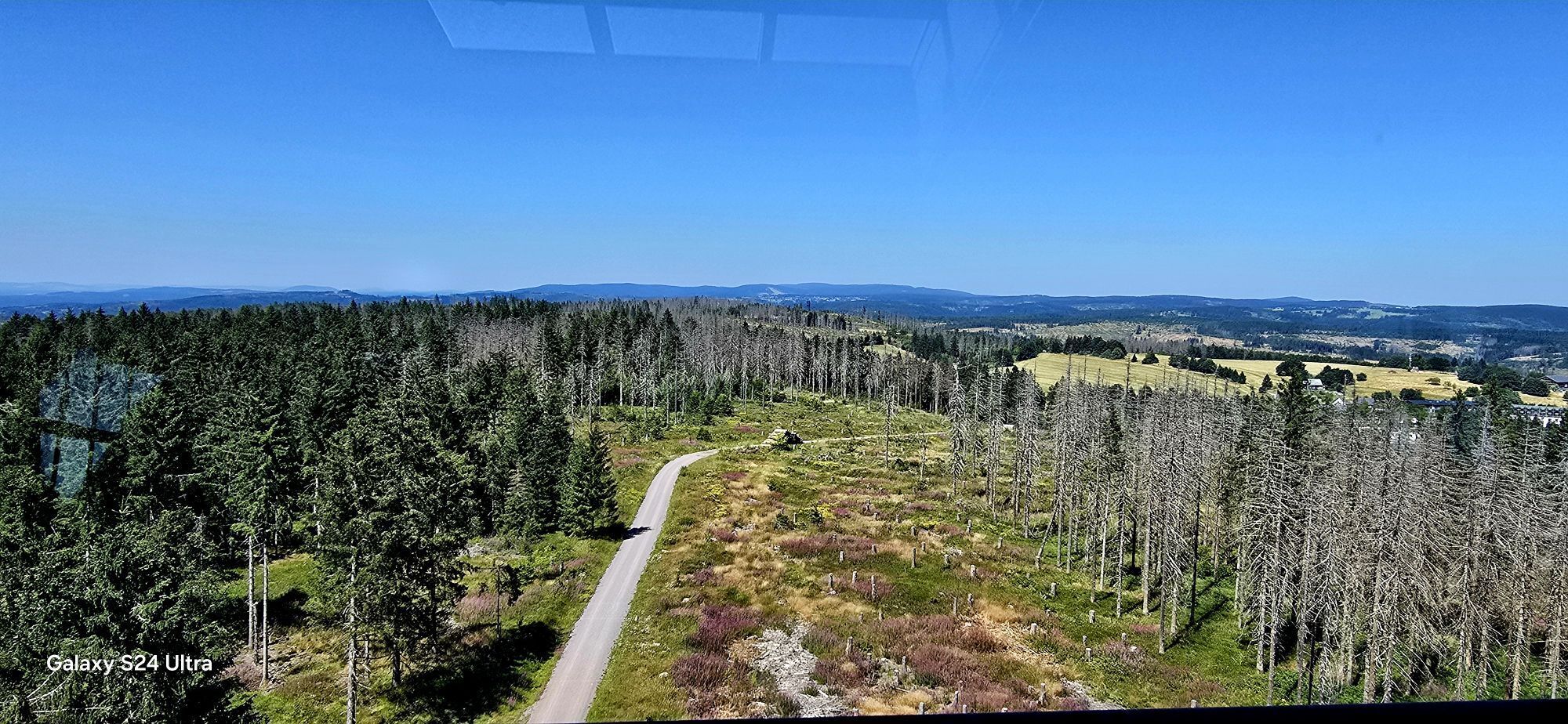
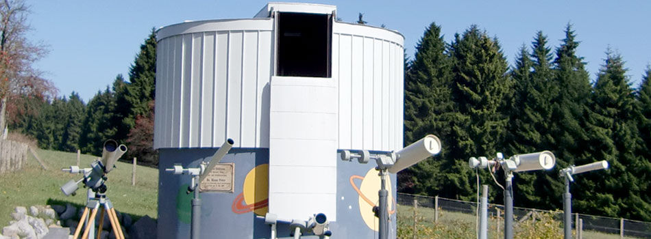
Set off along the Rennsteig towards the toboggan run on the left side. The first section is also the Planetary Trail, which accompanies you to Heubach. Just before Heubach, the trail runs directly alongside a road; a small tip: simply use the meadow path below the road. After about 300 m you reach an agricultural path that leads you to the entrance of Heubach. From there you have wonderful views over the beautiful cultural landscape.
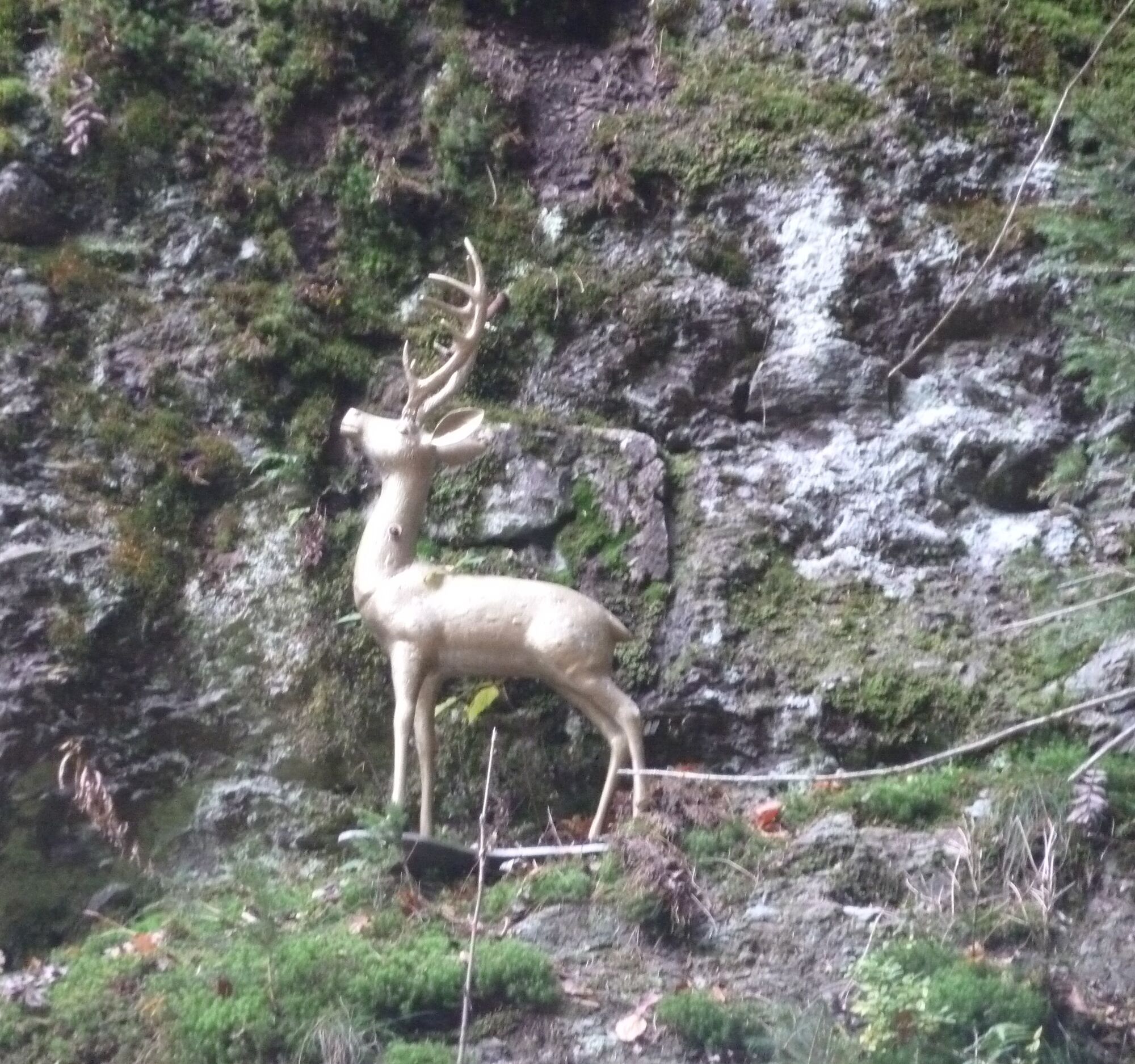
Turn left to the Heubach school hostel, at the end of the property go into the forest and follow the path downhill to the Golden Deer over the meadows to Fehrenbach. The vegetation along the way is particularly varied and diverse. Rare mosses and lichens in the forested side valleys, where hardly a ray of sunshine reaches, alternate with species-rich flower meadows, dry grasslands, and raised bog areas. In the village, the trail runs left through the village to just before the exit.
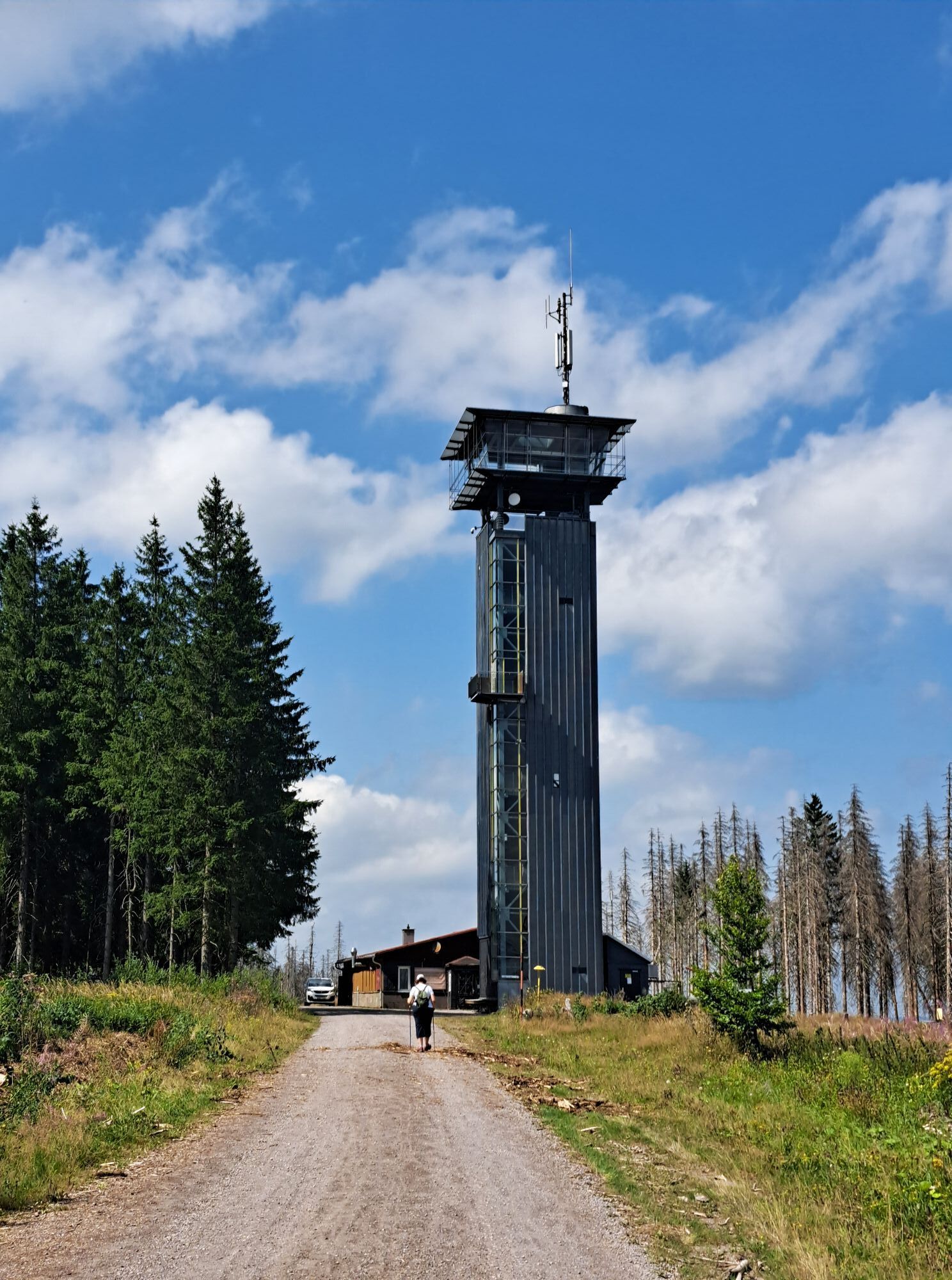
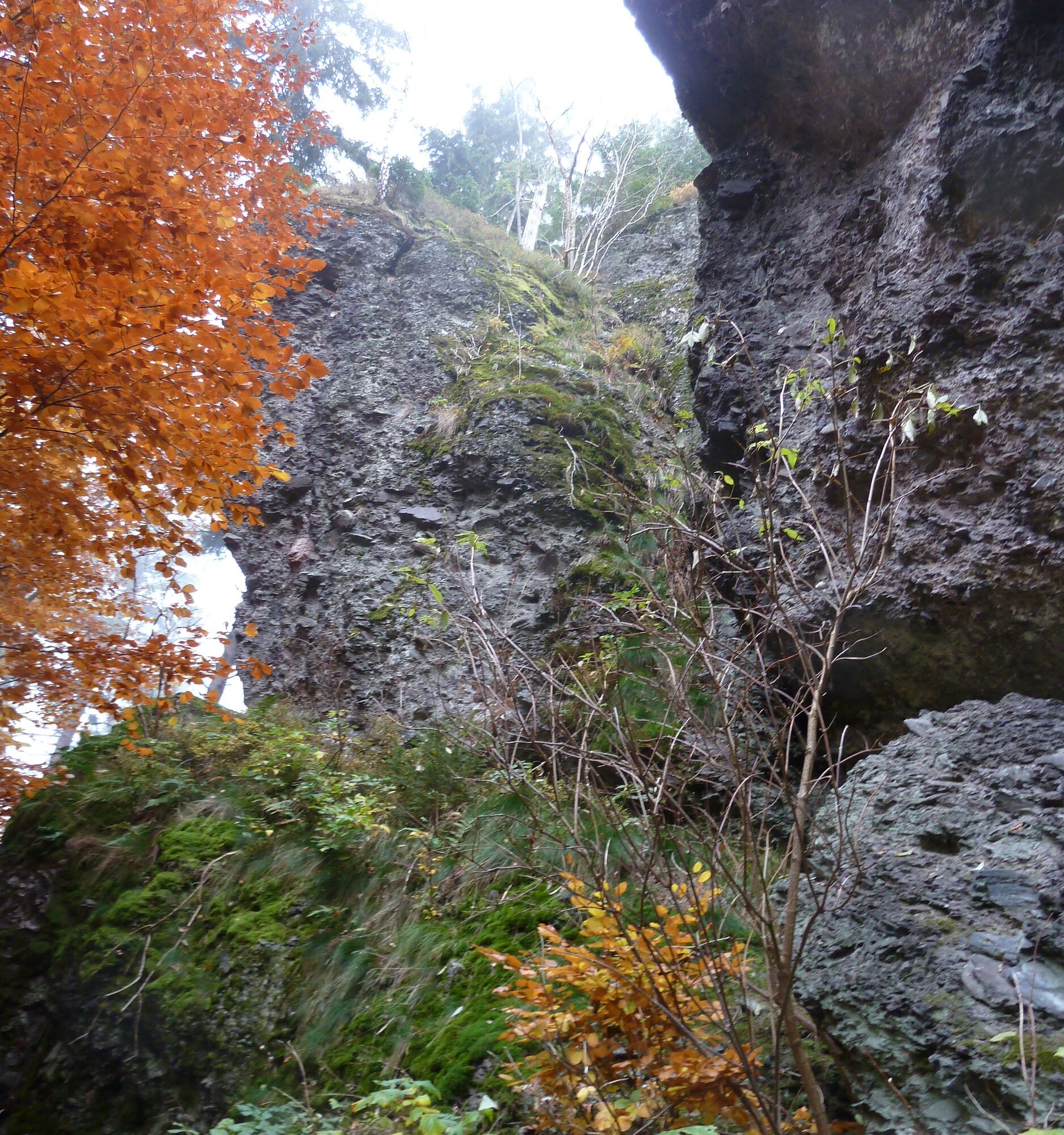
The trail continues right past the impressive Gypsy Rock. From there it goes uphill via Donkey Valley to Masserberg. At the Donkey Valley Hut, follow the signs to the Rennsteig lookout and then on to Masserberg to the Rennsteighaus, where you reach the end of the route.

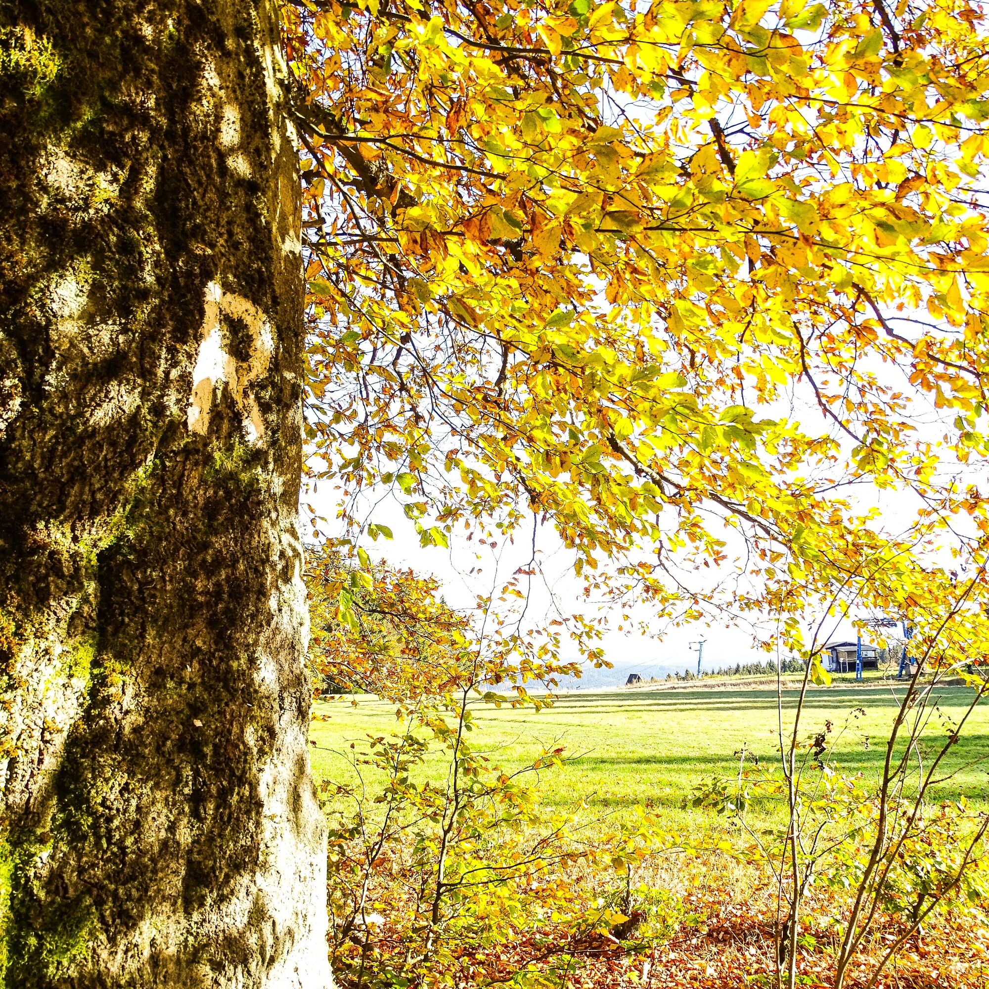
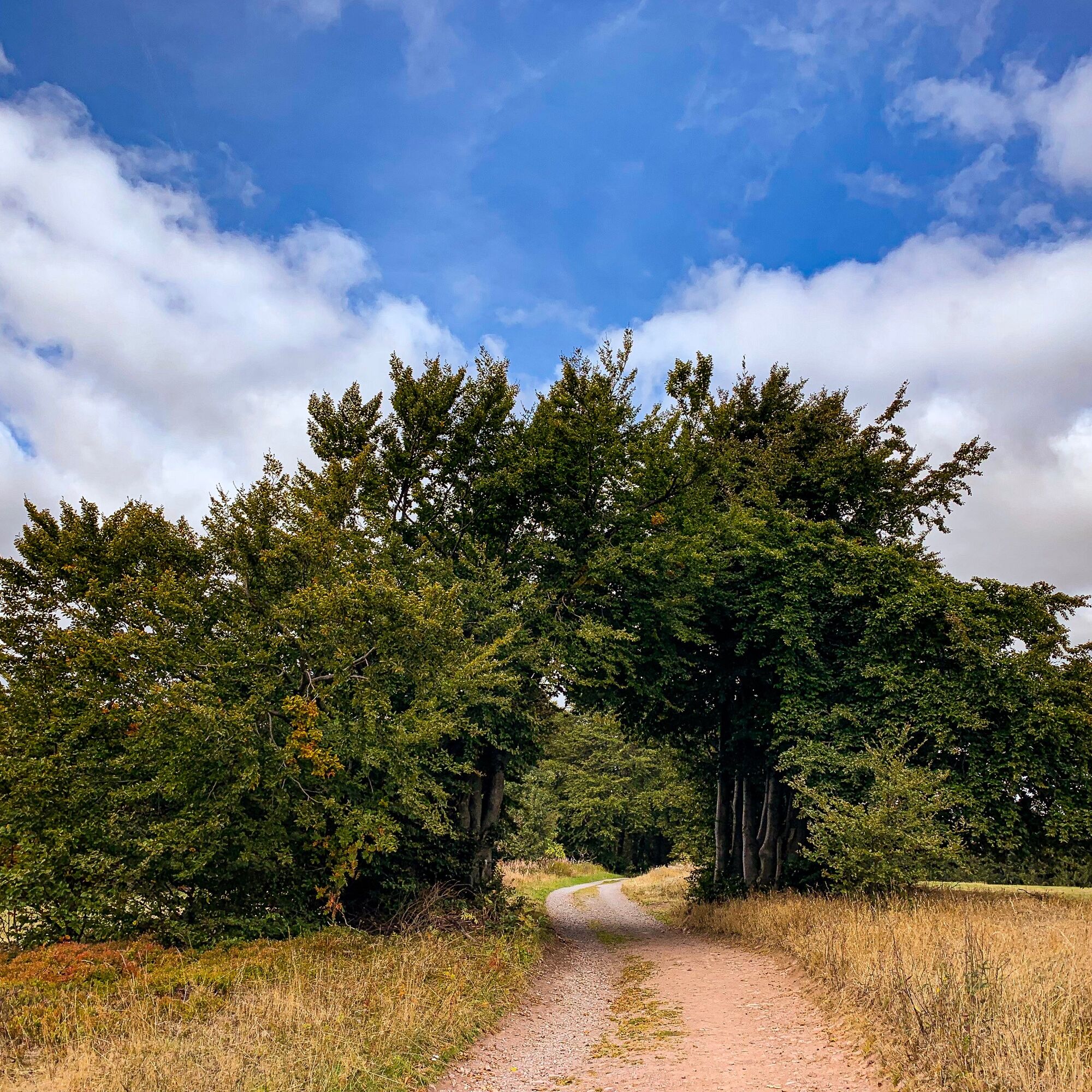
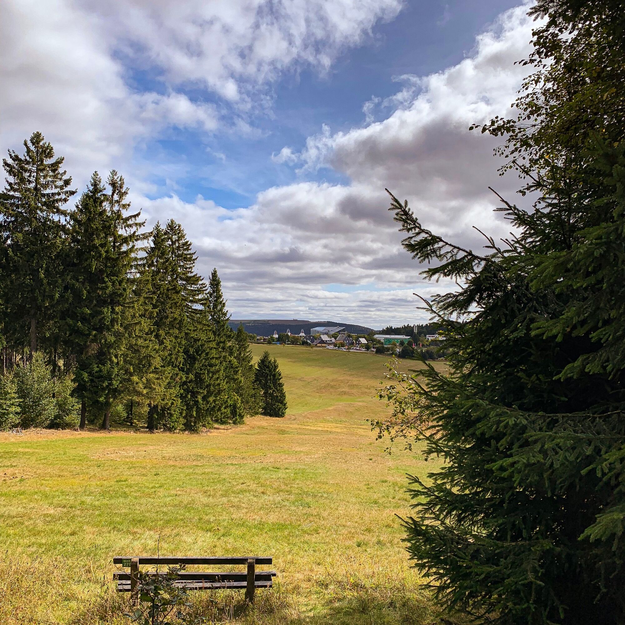
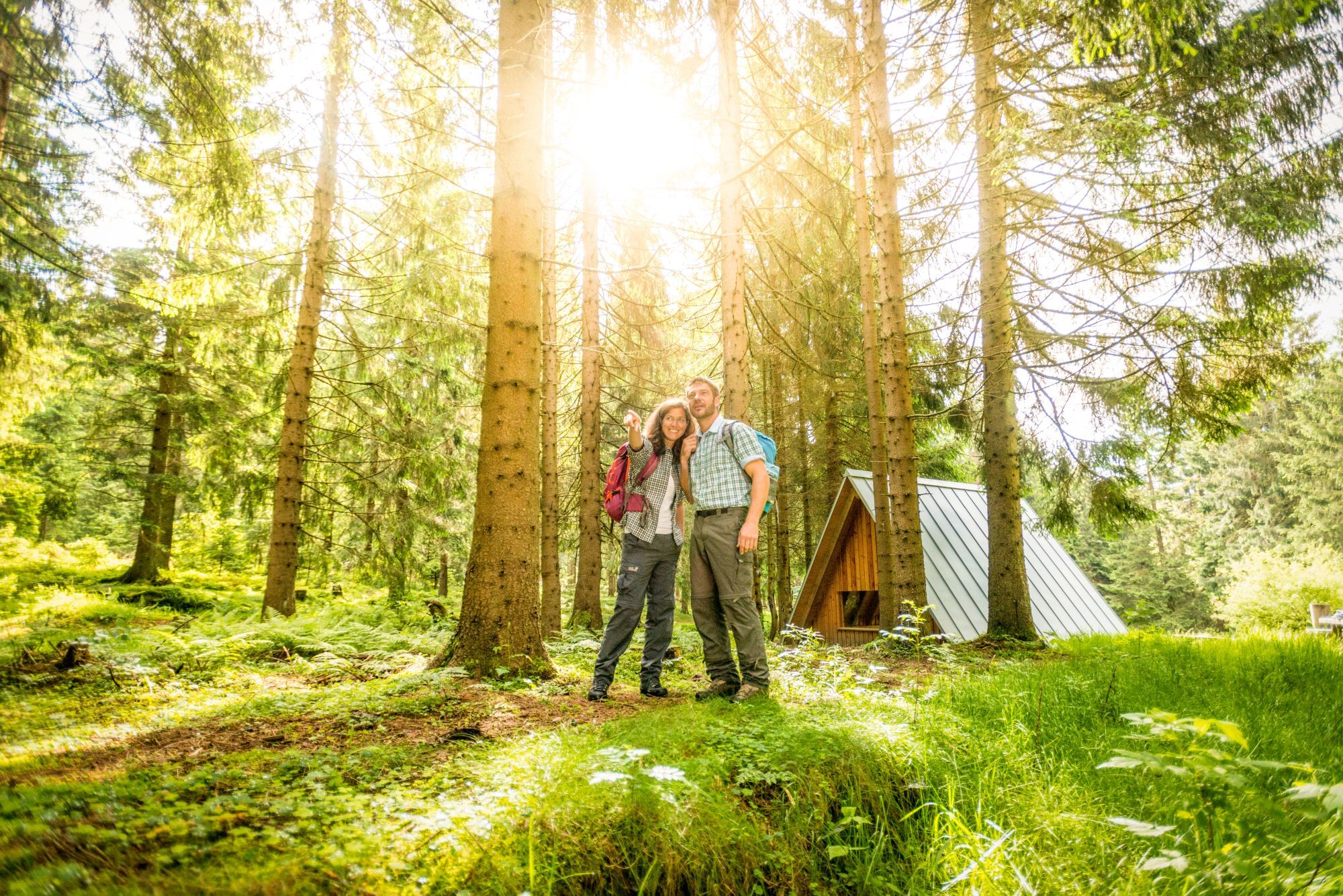
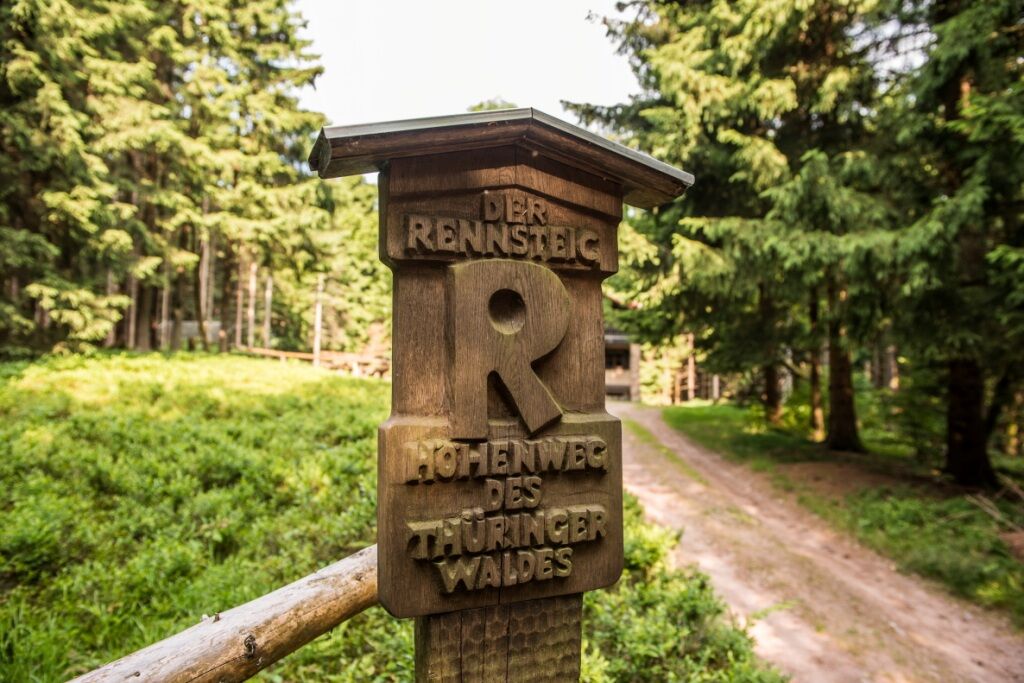

Rennsteighaus Masserberg - Rennsteig - Fehrenberg - Försterhütte - Planetary Trail - School Hostel Heubach - Fehrenbach Switzerland - Golden Deer - Fehrenbach Switzerland - Donkey Valley - Rennsteig - Rennsteig Lookout - Rennsteighaus Masserberg
Da
Da
sturdy footwear
rainwear
drink supply
first aid kit
GPS navigation device or smartphone
Beware of typical forest hazards!
Hiking is at your own risk!
We wish you a relaxing and eventful hike!
Hiking is at your own risk!
Coming from the A73, exit 4 (Schleusingen) and continue on L3004 towards Schmiedefeld. In the village of Hinternah, turn right over the railway crossing onto Waldauer Straße towards Waldau. Then turn left towards Masserberg. After about 3 km you reach Schönbrunn, continue on the road to Gießübel, there turn right in the village center and follow the road to Schwalbenhaupt, then turn right towards Masserberg. In the center of Masserberg, turn right and before leaving the village enter the Rennsteig parking lot at Rennsteighaus Masserberg.
You can reach Masserberg by DB trains to Suhl station, from there the bus line 203 runs directly to Masserberg.
Rennsteig parking lot at Rennsteighaus Masserberg (Google navigation point)
T2
Rennsteig Lookout
Kulturglas The Glassblower's Workshop

Spletne kamere s turneje

Priljubljeni izleti v okolici
- 5.0
Naturlehrpfad Gießübler Schweiz
srednjaPohodništvo 7.99 km - 3.0
Circular hike - "4 ponds hike" Neustadt am Rennsteig - Thuringian Forest
težkoPohodništvo 12.6 km - 3.8
Rundweg Talsperre
srednjaKolesarjenje 14.5 km The Rennsteig - long-distance hiking trail from Hörschel to Blankenstein - Thuringian Forest
težkoPohodništvo v daljavo 169.0 km- 5.0
Circular hiking route - TOP 1 - Werra Source - Masserberg - Thuringian Forest
srednjaPohodništvo 5.94 km - 5.0
Rundtour Staudamm
svetlobaPohodništvo 3.91 km - 5.0
Circular hike - To the Schönbrunn Dam - Frauenwald
srednjaPohodništvo 15.1 km Circular route - "When Rennsteig meets the Schwarzatal panorama path" - Limbach
srednjaPohodništvo 9.68 km- 3.0
Circular route - Panorama route Stützerbach - Terrain course TK 4
srednjaPohodništvo 10.4 km - 5.0
Circular hiking trail - Dwarf trail Frauenwald - Thuringian Forest
svetlobaPohodništvo 4.02 km
Pohodništvo in sledenje


Ne zamudite ponudb in navdiha za naslednje počitnice
Vaš e-poštni naslov je bil dodan na poštni seznam.





