







Long-distance hiking trail - Werra Burgen Steig X5 - Stage 1 - From Fehrenbach to Eisfeld
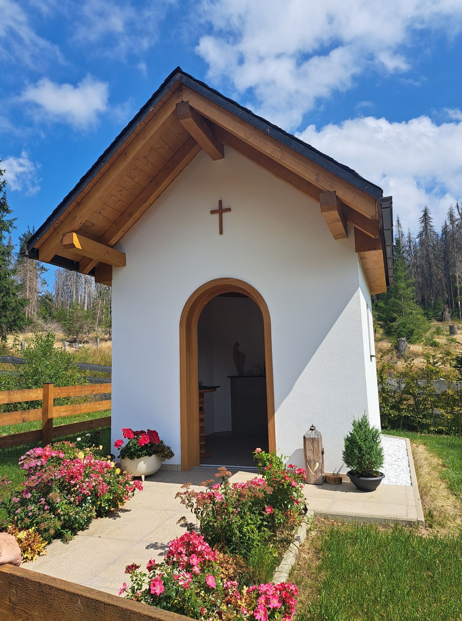
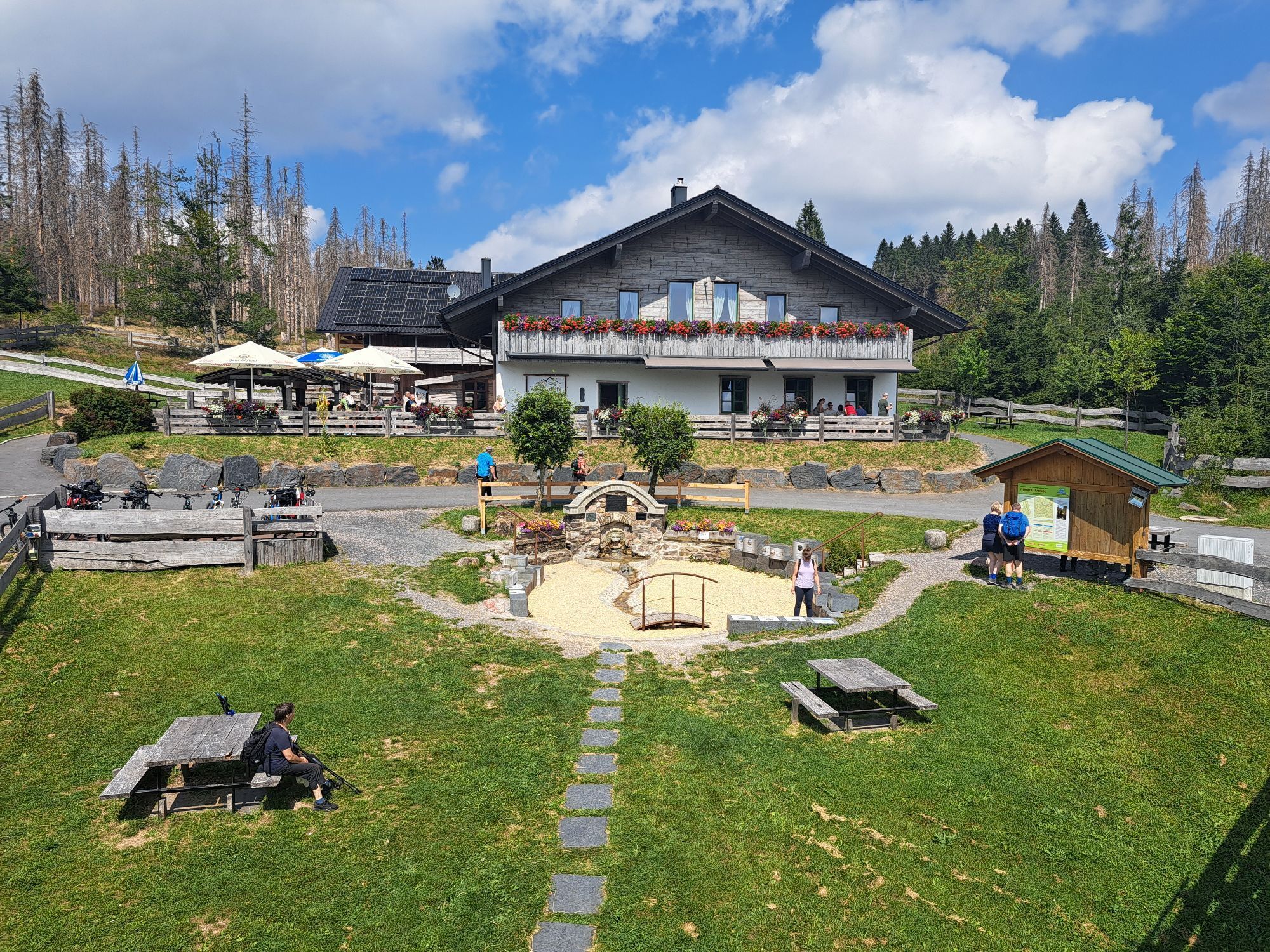
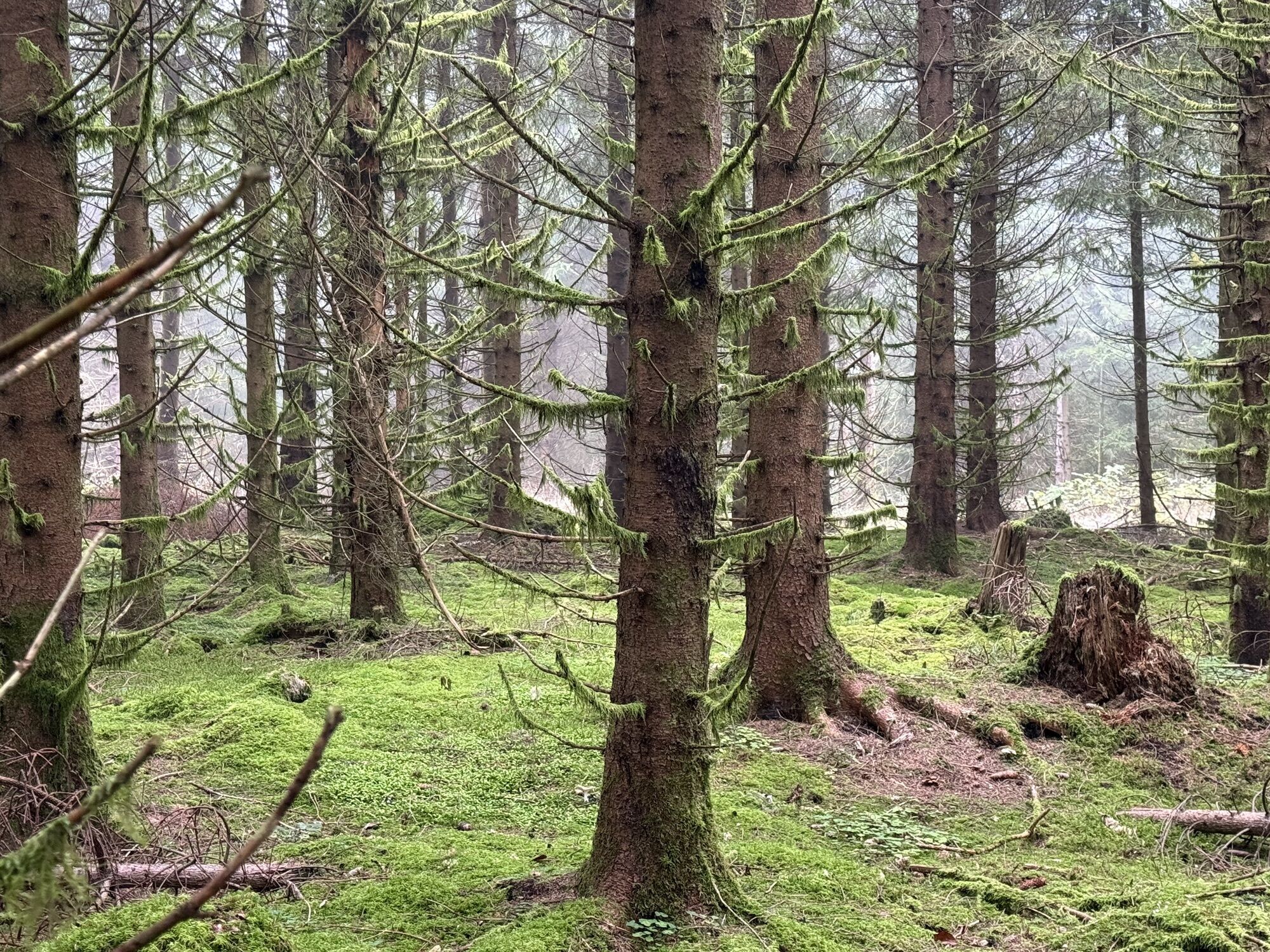
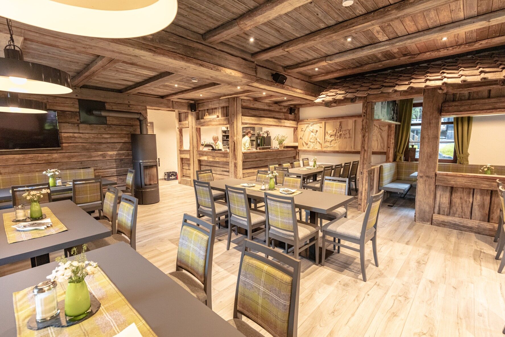
The first stage of the famous X5 begins deep in the forest at the picturesque Werraquell Hut. This small gastronomic gem offers delicacies from all over the world daily from 11 a.m. Especially recommended...
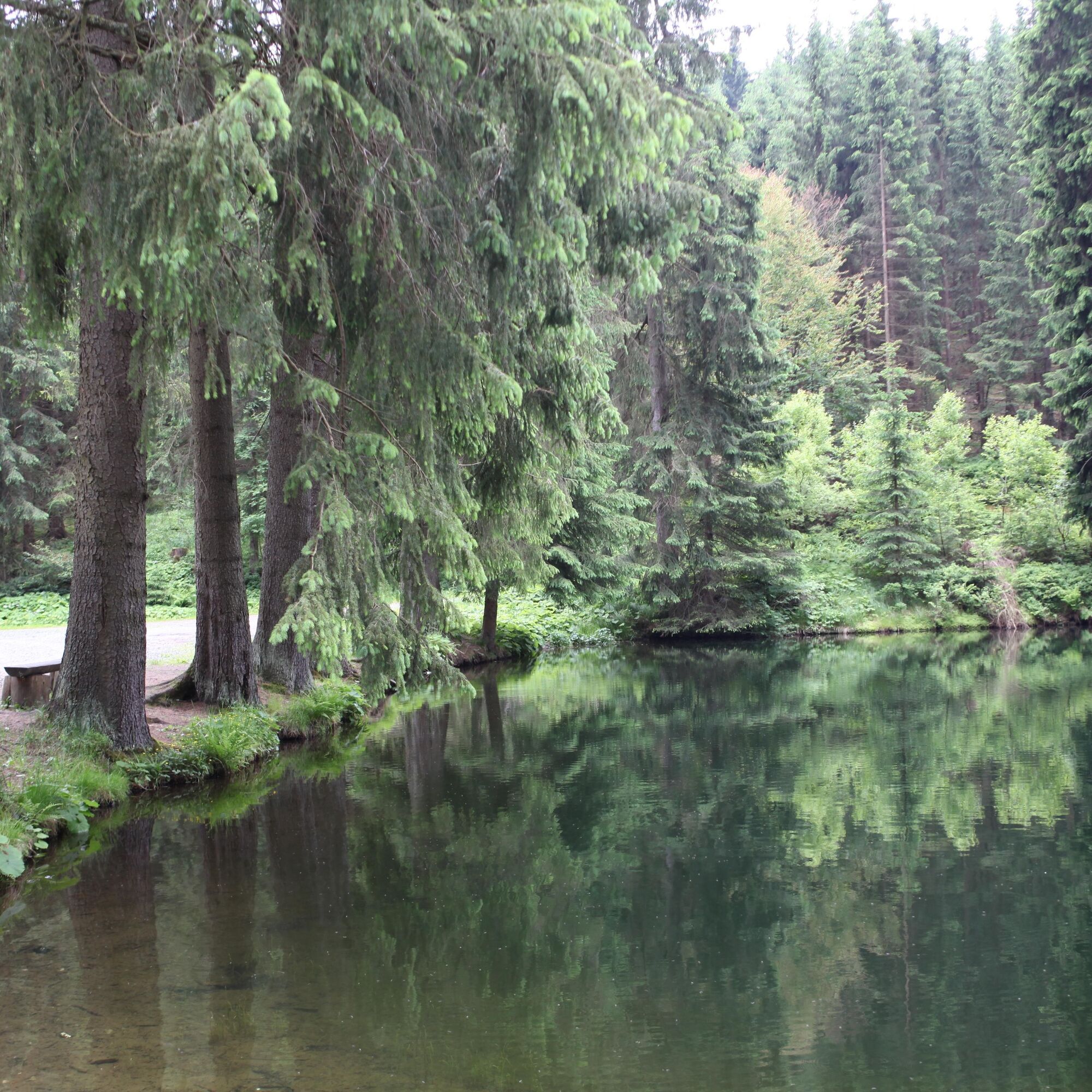
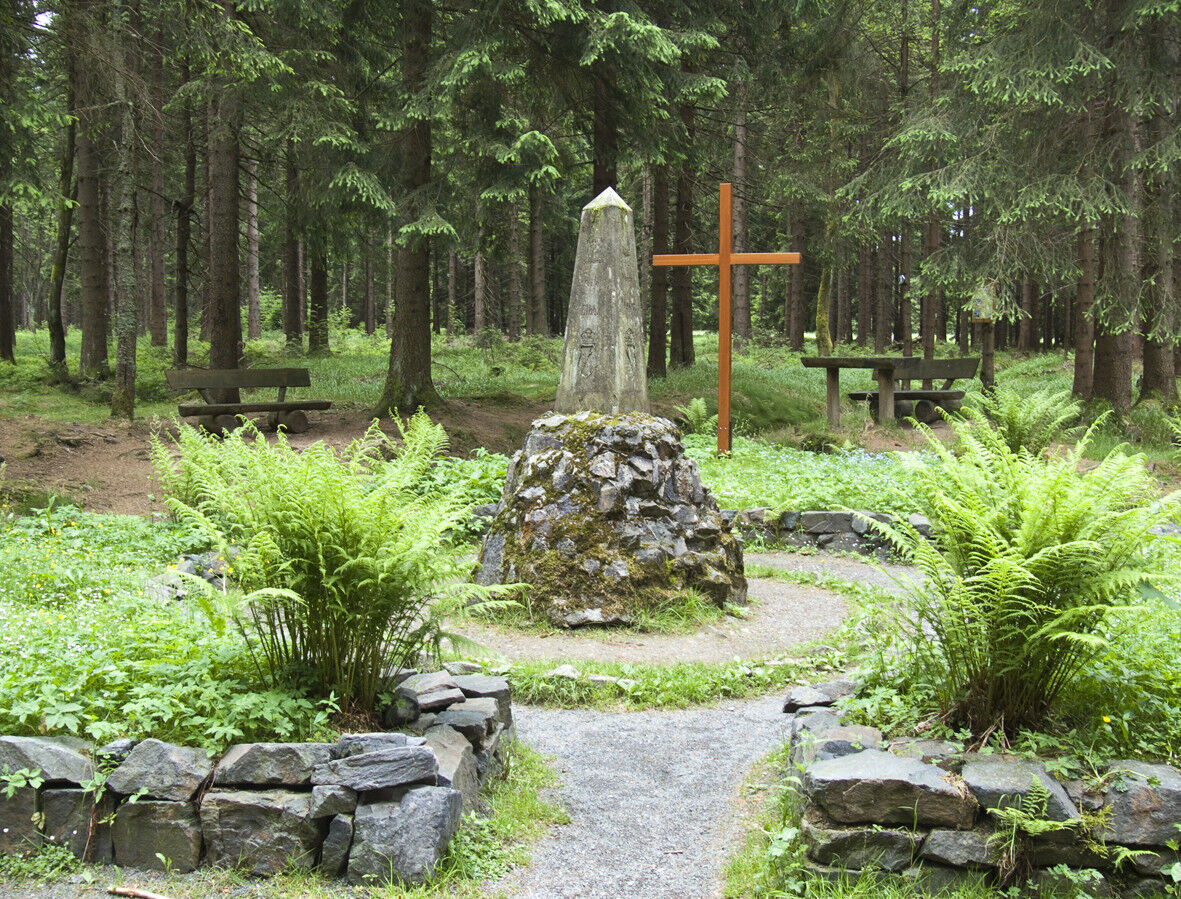
The first stage of the famous X5 begins deep in the forest at the picturesque Werraquell Hut. This small gastronomic gem offers delicacies from all over the world daily from 11 a.m. Especially recommended are the crispy and light Alsatian-style tarte flambée. After a short and brisk ascent along a small, picturesque forest path, you reach the Rennsteig at the Dreiherrenstein. Following the Kleiner Sauberg, the WBS and the Rennsteig share the same route to Friedrichshöhe. Passing the Nature Park Center, you soon reach the outskirts of Siegmundsburg and the Hintere Werra spring.
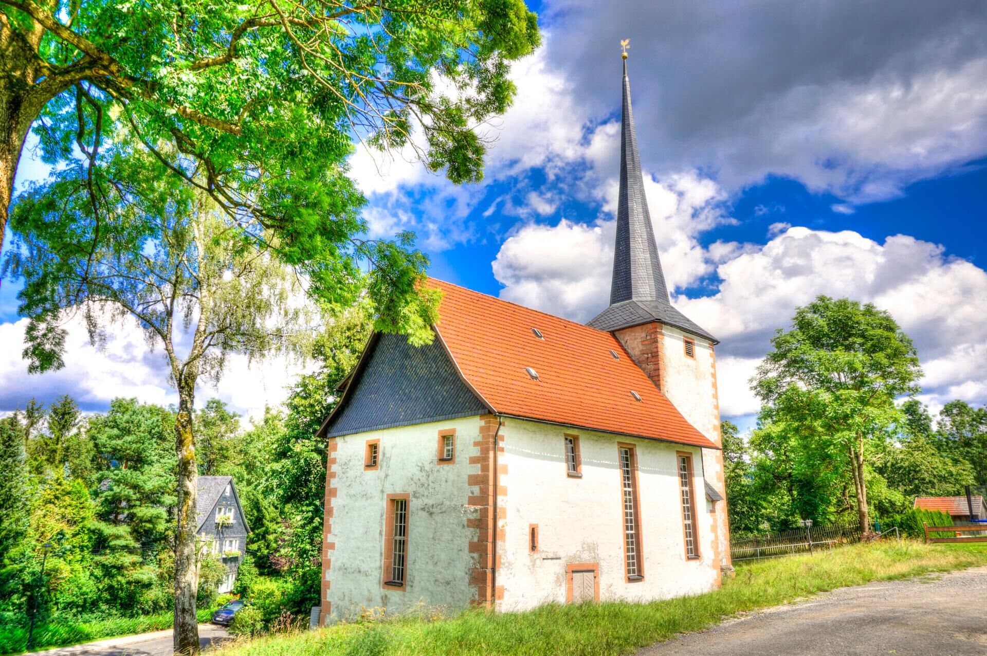
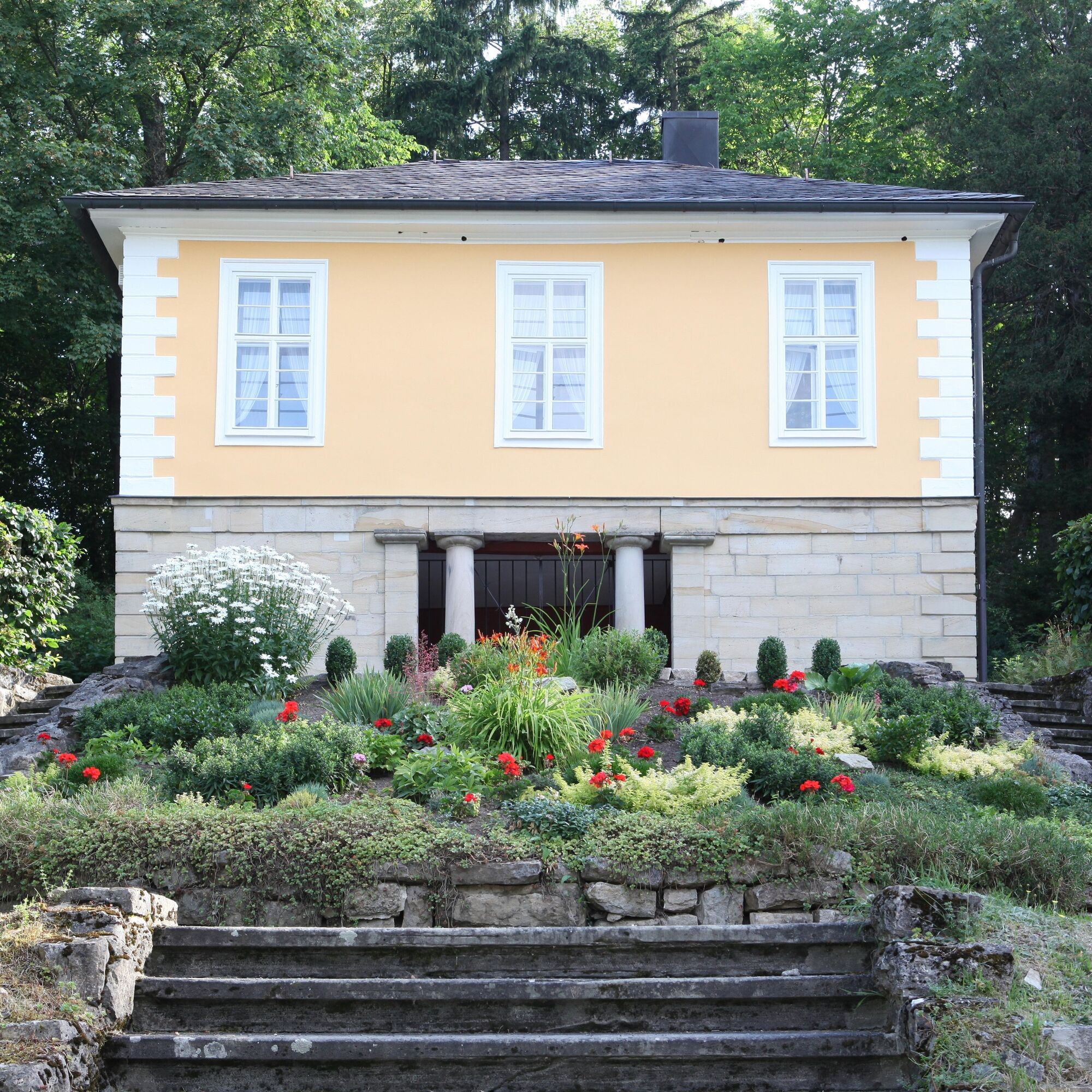
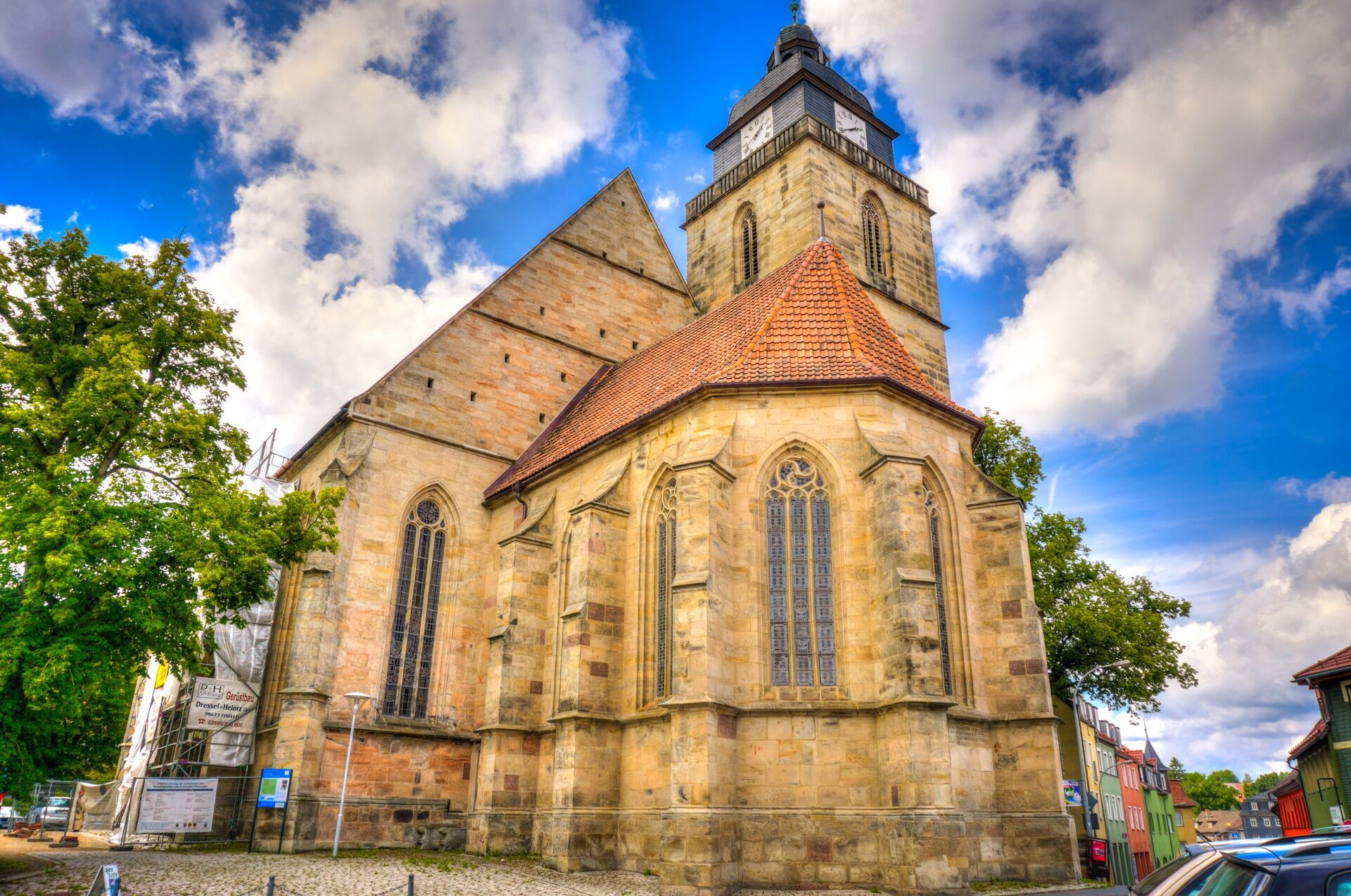
The path leads you to the first "highlight" of its entire course. From the 867 m high Blessberg, you can look deep into Franconia. Climbing the observation tower is a must. Descending into the Werra valley, you pass through the village of Stelzen. Here the Itzquelle inn invites you for a short break. Across the flat meadows and floodplains, you meet the Werra again at Sachsenbrunn. Those interested can visit the Marble Museum here. After a few kilometers, you finally reach Eisfeld. The castle with its outstanding porcelain collection and the Trinity Church (Luther Site) are particularly worth seeing. You can relax after the adventurous hike in the Otto Ludwig Garden.
Those wishing to stay overnight in Eisfeld are recommended the "Schaumberger Hof" hotel.

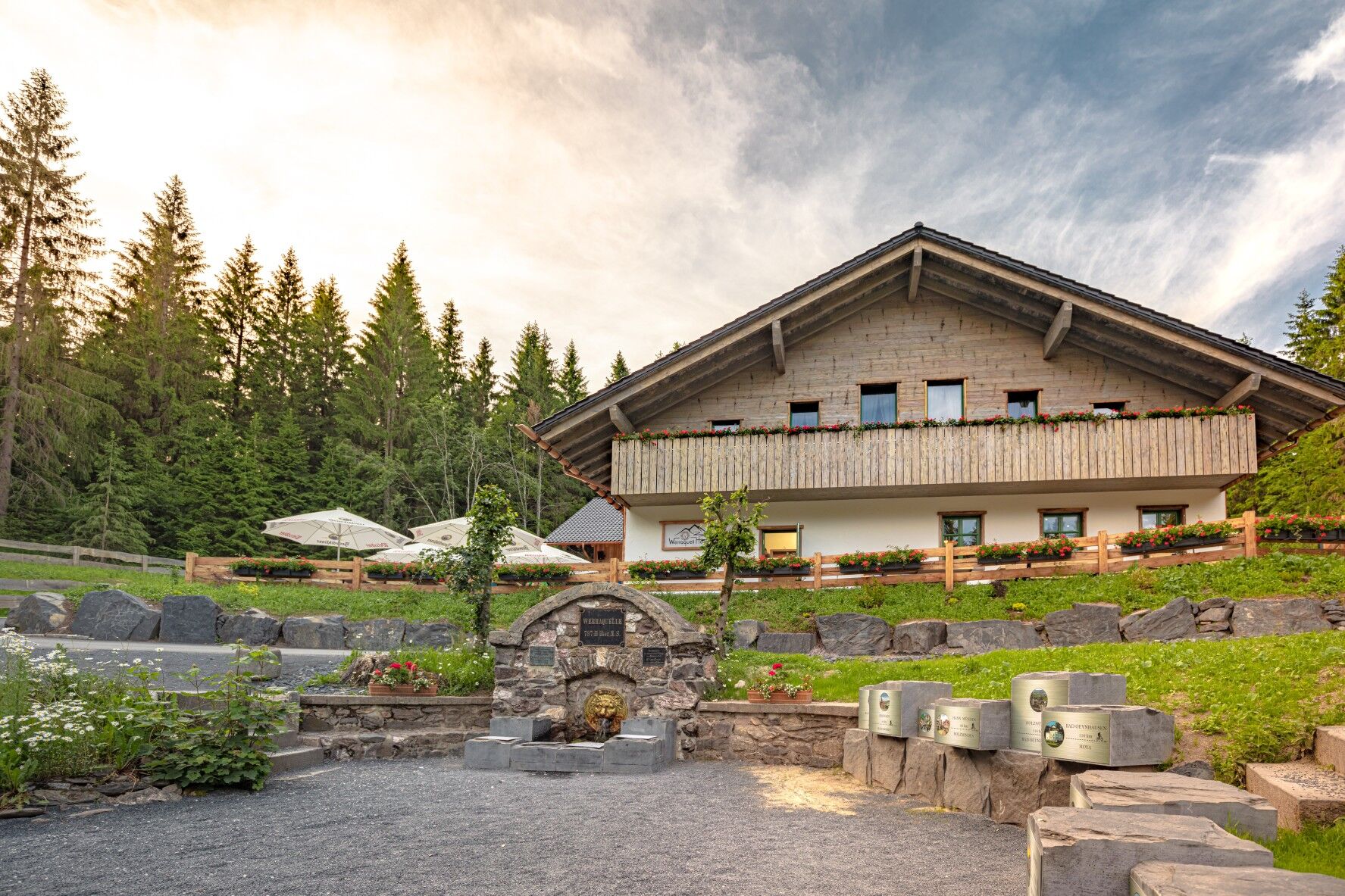

WERRA SOURCE FEHRENBACH - WERRA SOURCE SIEGMUNDSBURG
8.5 km | 2 hours
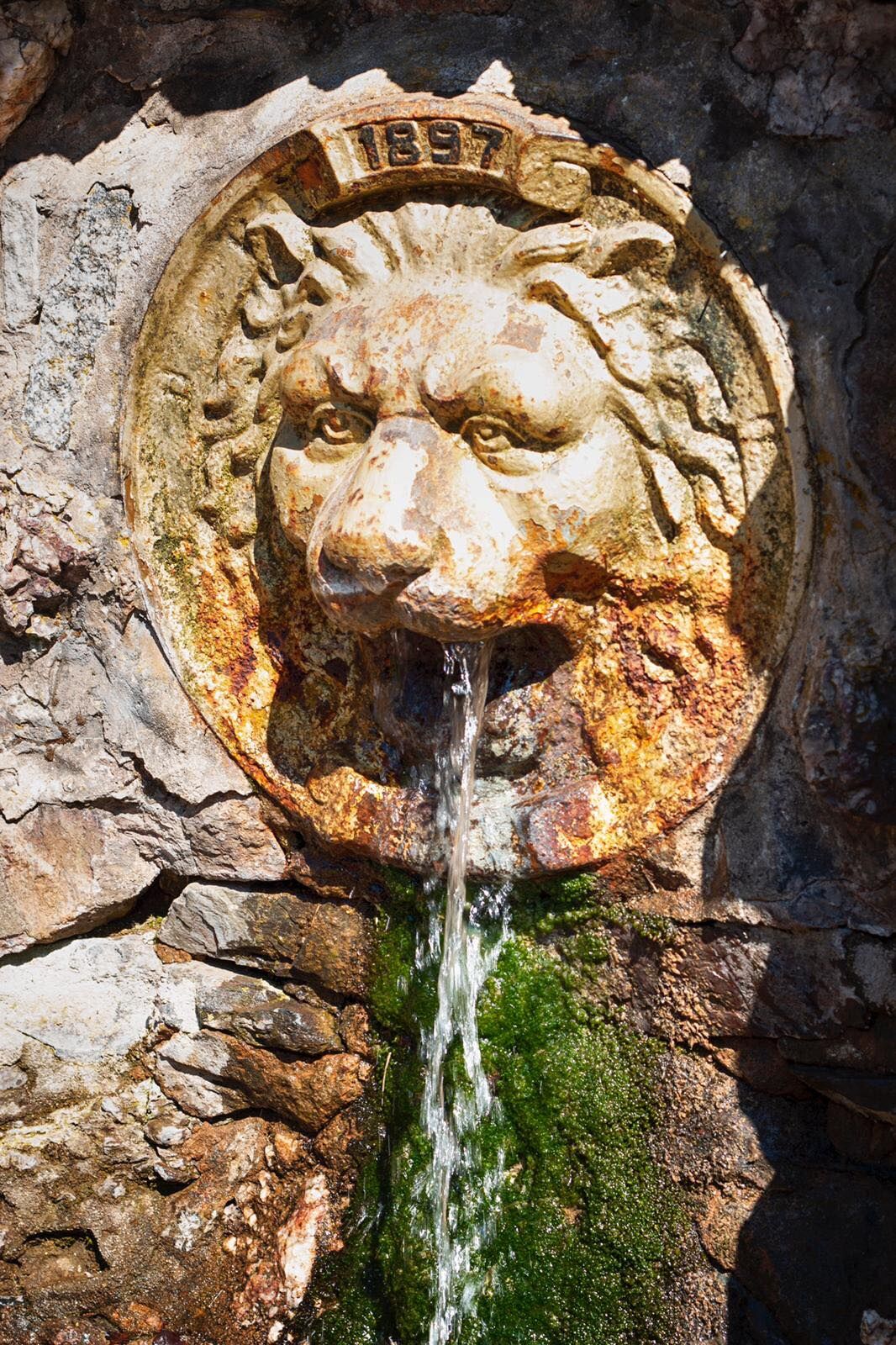
The Werra Castle Trail begins at the Fehrenbach Werra spring. From here it heads to the Dreiherrenstein with the Heidehütte and meets the Rennsteig, which it follows up to Friedrichshöhe. It leads around the pretty small forest community along the forest edge, which should not prevent any hiker from stopping at one of the two lodges in the village or visiting the Thuringian Forest Nature Park information center. It continues to the Dreistromstein junction, marking the watershed of the three major German river systems Werra-Weser, Schwarza-Saale-Elbe, and Itz-Obermain-Rhine. The trail now leaves the Rennsteig to head straight towards the Siegmundsburg Werra spring. The tour continues along the hiking path next to the road to the rear (dry) Werra source (Saar) near Siegmundsburg.
WERRA SOURCE SIEGMUNDSBURG - BLESSBERG
4 km | 1 hour
From the Siegmundsburg Werra spring, the border path/Franconian trail leads up to the Bleßberg (867 m, highest point of the Werra Castle Trail). Hikers should enjoy a meal at the Bleßberghütte and the view from the Bleß tower far into the Coburg or Sonneberg area.
BLESSBERG - EISFELD
Approx. 10 km | 465 meters elevation | 2-3 hours
A forest path leads downhill to Stelzen (approx. 3 km, forest, easy trail, downhill, about 45 minutes). In Stelzen, follow the country road towards Sachsenbrunn. After about 500 m, turn left onto an asphalted field path. Past the Fleischbaum, an ash over 400 years old, to the Dogge (road intersection country road - field path). Straight on towards Eisfeld. At the next crossroads turn right and then take the asphalted path to the local recreation area "Stelzener Berg" (approx. 6 km, easy path, approx. 1.5 hours). Descend the Stelzener Berg towards Eisfeld Castle (tourist info, museum, Thuringian Forest Nature Park info).
sturdy footwear
drink reserve
first aid kit
GPS navigation device or smartphone
rainwear
During your hike, always stay on the marked trails. You must absolutely follow the instructions of the Thuringian Forest staff. Due to forest restructuring and forestry, some sections may be closed. Detours are usually signposted.
Coming from the A73, take exit 5 (Eisfeld North) and continue on the B281 towards Neuhaus am Rennweg. Just before Hirschendorf, turn left towards Waffenrod. Follow L2053 via Hinterrod / Waffenrod and Einsiedel to Fehrenbach.
You can reach Fehrenbach and thus the Werra spring with bus line 209 from the direction of Eisfeld (connection to South Thuringia Railway towards Sonneberg or Eisenach). Please use the following link to the German Rail travel planner to plan your journey by entering your starting point and desired travel period.
→ Arrival to Fehrenbach
Return trip from Eisfeld to Fehrenbach:
Use the bus connection mentioned above
Use the parking options in the village (Google NAV point) or above the Fehrenbach sports center (Google NAV point).
At the Nature Park Center Friedrichshöhe you will learn a lot of interesting facts about the Thuringian Forest.
Spletne kamere s turneje
Pridobite vpogled
Vedno v živo na mestu z več kot 9.500 spletnimi kamerami. bergfex Kot uporabnik Pro si lahko zdaj ogledate ustrezne spletne kamere za številne izlete v aplikaciji izleti iz. Tako si lahko neposredno ogledate trenutne razmere.
Priljubljeni izleti v okolici
-
5.0
Naturlehrpfad Gießübler Schweiz
srednjaPohodništvo 7.99 km -
3.8
Rundweg Talsperre
srednjaKolesarjenje 14.5 km -
5.0
Circular hiking route - TOP 1 - Werra Source - Masserberg - Thuringian Forest
srednjaPohodništvo 5.94 km -
5.0
Rundtour Staudamm
svetlobaPohodništvo 3.91 km -
Circular route - "When Rennsteig meets the Schwarzatal panorama path" - Limbach
srednjaPohodništvo 9.68 km -
5.0
Circular hiking route - "Panorama View" - Schönbrunn - Thuringian Forest
srednjaPohodništvo 9.79 km -
5.0
Circular route 5 - Neustadt am Rennsteig - Thuringian Forest
srednjaPohodništvo 8.50 km -
Circular route - TOP 3 - hike with a view - Masserberg - Thuringian Forest
srednjaPohodništvo 17.3 km -
5.0
Circular hiking trail - "Frankenblick" - Schönbrunn - Thuringian Forest
srednjaPohodništvo 12.3 km -
4.0
Circular hiking trail - TOP 2 - Masserberg - "Cultural Experience" - Friedrichshöhe - Thuringian Forest
srednjaPohodništvo 15.2 km
Pohodništvo in sledenje


Ne zamudite ponudb in navdiha za naslednje počitnice
Vaš e-poštni naslov je bil dodan na poštni seznam.





