







Rhön Hiking Day - From the Hohe Geba downhill
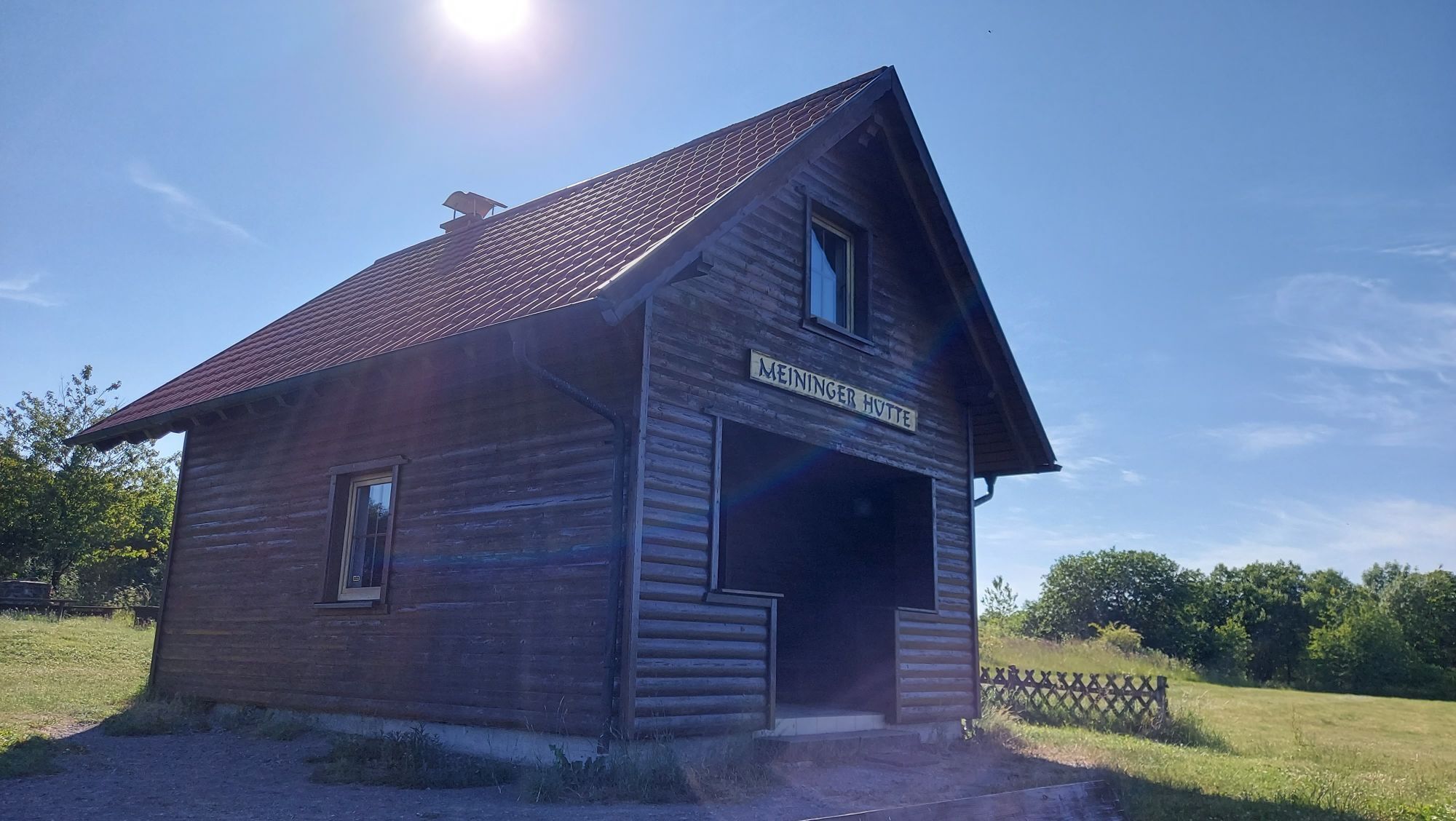

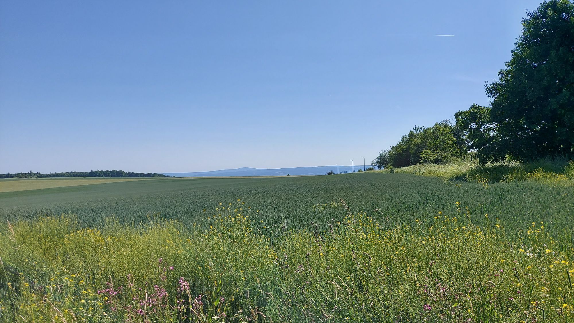
The route starts in Meiningen, after the opening of the 13th Rhön Hiking Day at the designated festival grounds. A hiking guide will accompany the guests to the bus and during the ride to Geba.
From the...
The route starts in Meiningen, after the opening of the 13th Rhön Hiking Day at the designated festival grounds. A hiking guide will accompany the guests to the bus and during the ride to Geba.
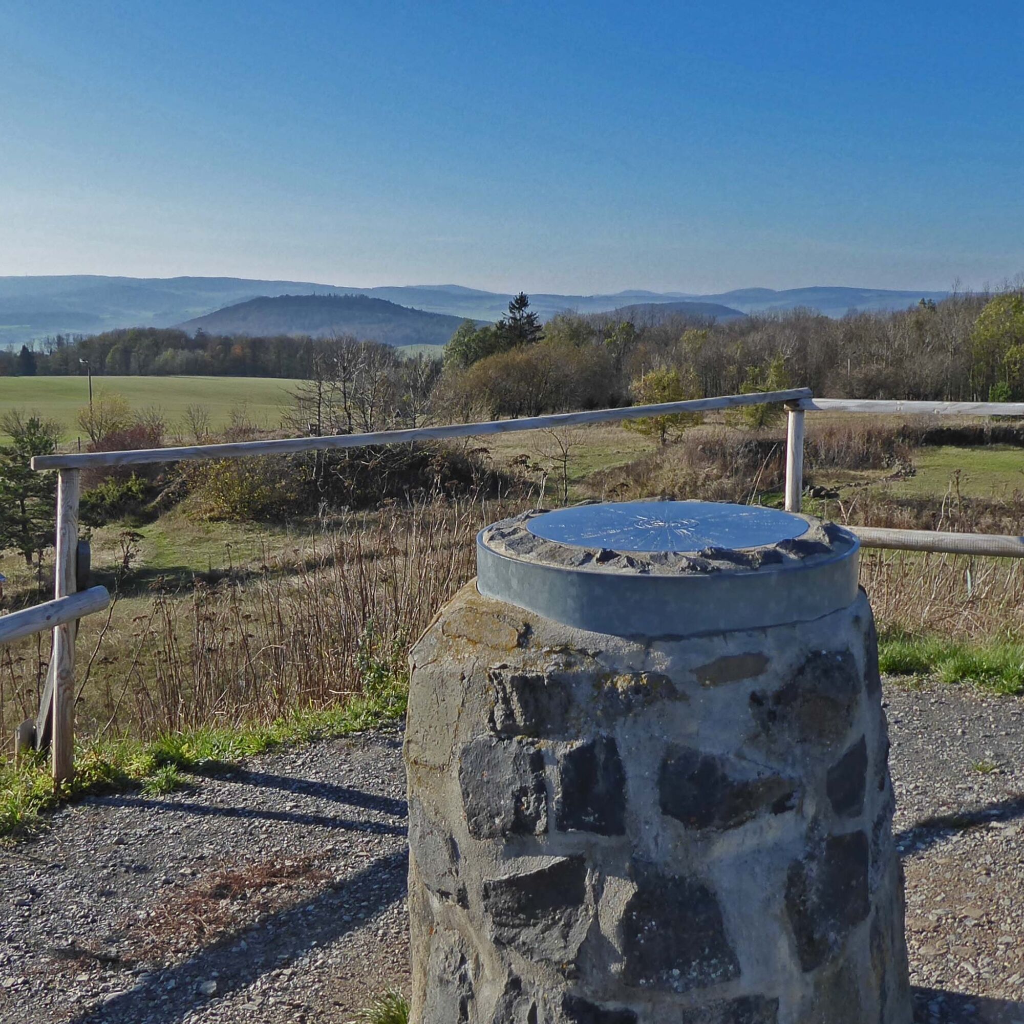
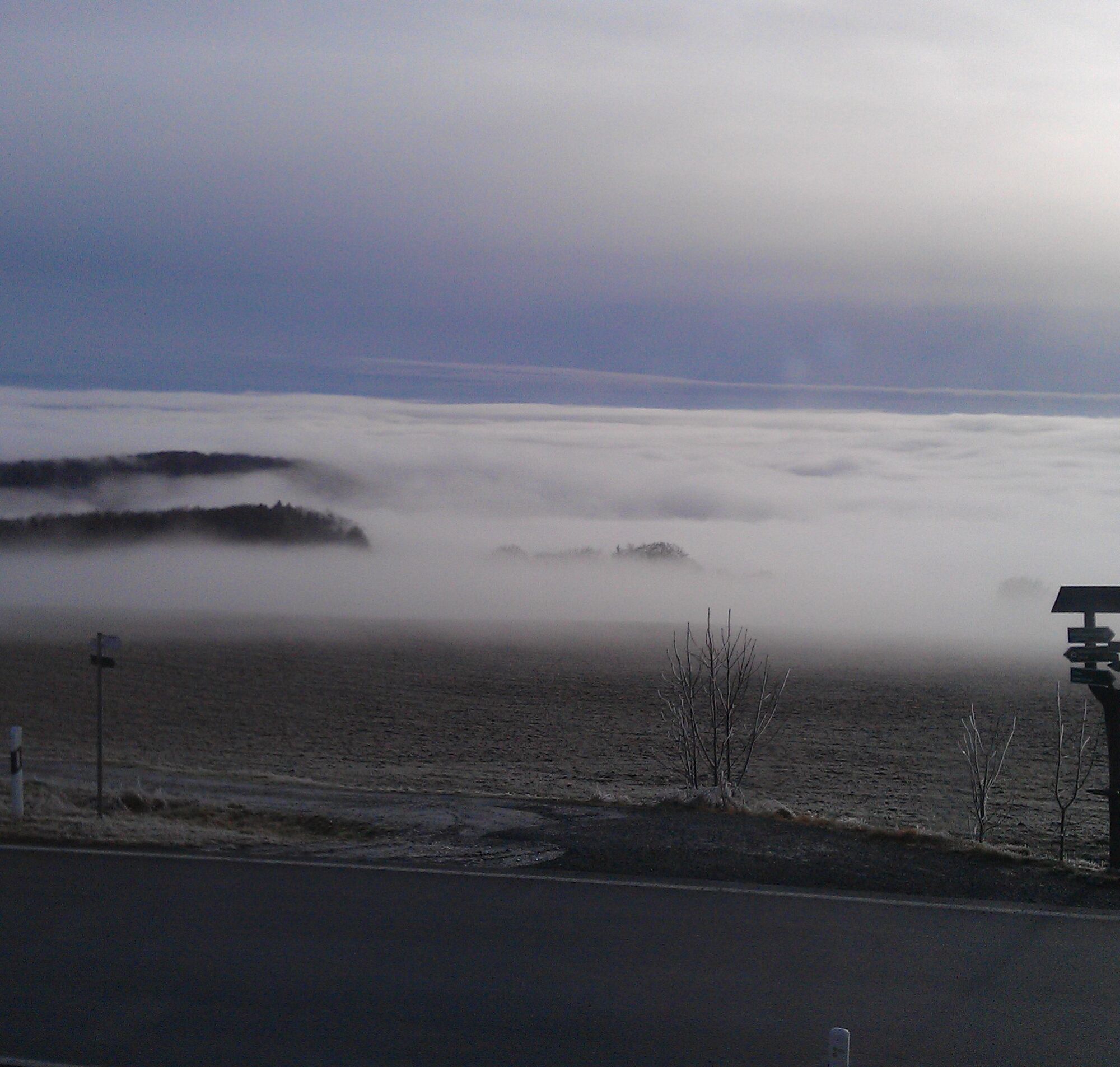
From the village Geba, the path goes moderately uphill to the summit Hohe Geba. At the latest there, it becomes clear why the Rhön is also called the land of the wide distance. The 360° view there offers, for example, to the north a view of the Inselsberg, to the east Dolmar and Gleichberge, to the south Kreuzberg and Heidelstein, and to the west Wasserkuppe and Ellenbogen. The route then descends from Hohe Geba with fantastic views to the legendary Träbeser Loch. After a forest passage, we reach the Herpf valley, the village Herpf, and also cross the river of the same name. Freshly uphill, we climb the Herpf forest and enjoy forest bathing casually and completely free of charge. Now the Diezhäuschen is reached with a unique view of the ducal residence and theater town Meiningen. The route ends at the festival grounds.




More information and registration at the Meiningen Tourist Information
Tel.: 036943 44650
E-Mail: touristinfo@meinigen.gmbh
Please register in time, as the bus seats are limited
Pridobite vpogled
Vedno v živo na mestu z več kot 9.500 spletnimi kamerami. bergfex Kot uporabnik Pro si lahko zdaj ogledate ustrezne spletne kamere za številne izlete v aplikaciji izleti iz. Tako si lahko neposredno ogledate trenutne razmere.
Priljubljeni izleti v okolici
-
4.4
Circular hiking route - EXTRATOUR - The Meininger
srednjaPohodništvo 10.8 km -
Euro Velo Route 13 Iron Curtain Trail
težkoKolesarjenje na dolge razdalje 652.1 km -
Dr. Malade - Rhön - Circular route - Hohe Geba
srednjaPohodništvo 8.34 km -
Tour 11: Dolmar - der Berg der Kelten
težkoMountainbike 59.8 km -
4.0
Werra Water Hiking 2: Meiningen - Wernshausen
srednjaKajak / Kanu 24.7 km -
"Nature Park Route Thuringian Forest" - From Hörschel to Saalfeld
srednjaMotorno kolo 466.4 km -
MDR Osterspaziergang 2026 Meiningen: Panoramatour über den Drachenberg
srednjaPohodništvo 10.7 km -
Circular hike - Ring path Meiningen - Werra Valley
težkoPohodništvo 23.4 km -
Hike - from Meiningen to the Bakunin Hut (Rohr)
svetlobaPohodništvo 5.79 km -
MDR Osterspaziergang 2026 Meiningen: Panoramatour über Dreißigacker
težkoPohodništvo 14.4 km
Pohodništvo in sledenje


Ne zamudite ponudb in navdiha za naslednje počitnice
Vaš e-poštni naslov je bil dodan na poštni seznam.





