







Rhön Hiking Day - Circular route - On Bechstein’s trail to Dreißigacker
The path leads along the Werra, through the Brunnenbach forest, and over the Kreuzberg, where you have a magnificent view of the old town. Along the way, you can discover the traces of the famous naturalist...
The path leads along the Werra, through the Brunnenbach forest, and over the Kreuzberg, where you have a magnificent view of the old town. Along the way, you can discover the traces of the famous naturalist Johann Matthäus Bechstein, who was born in Dreißigacker and researched the flora and fauna of the Rhön.

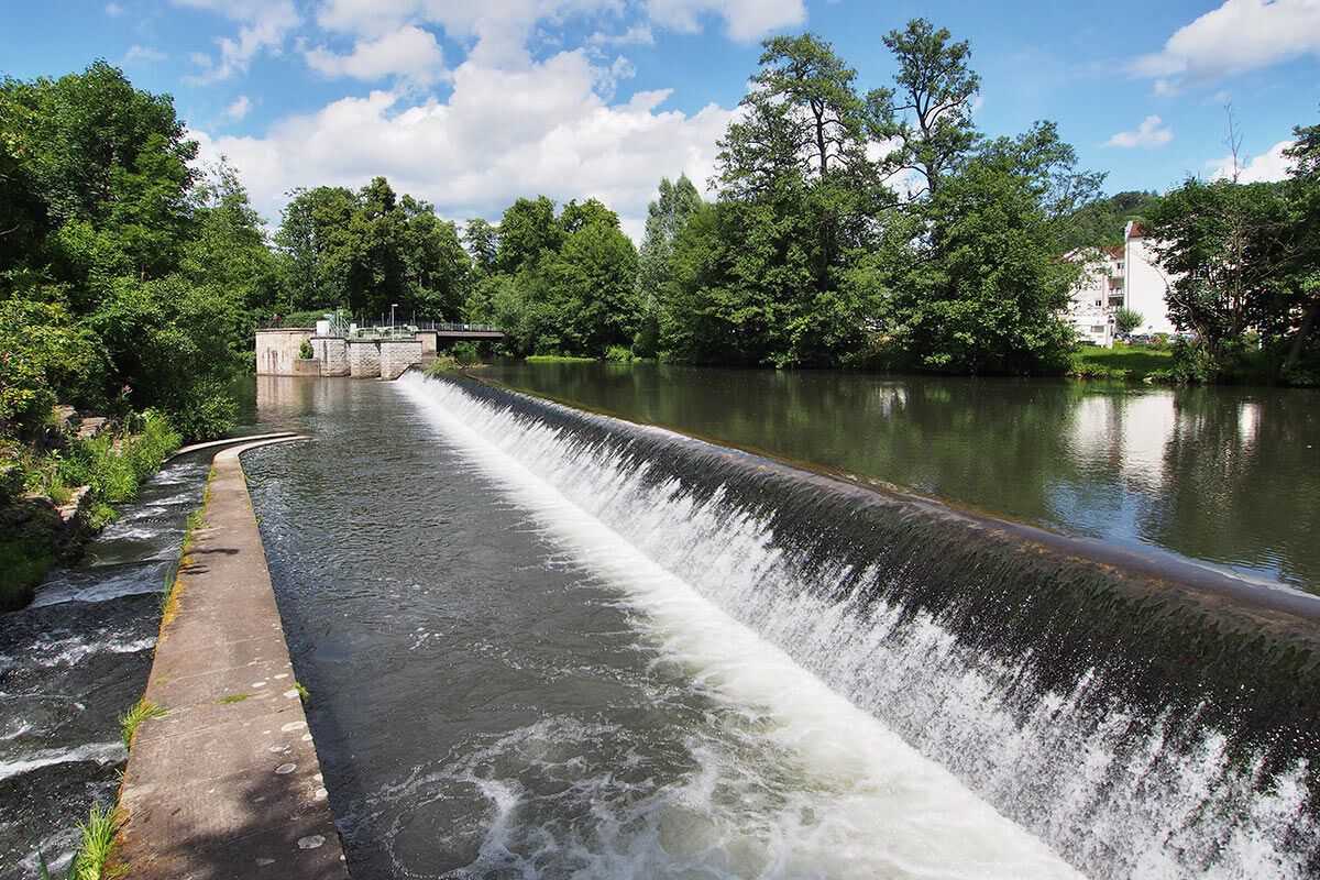
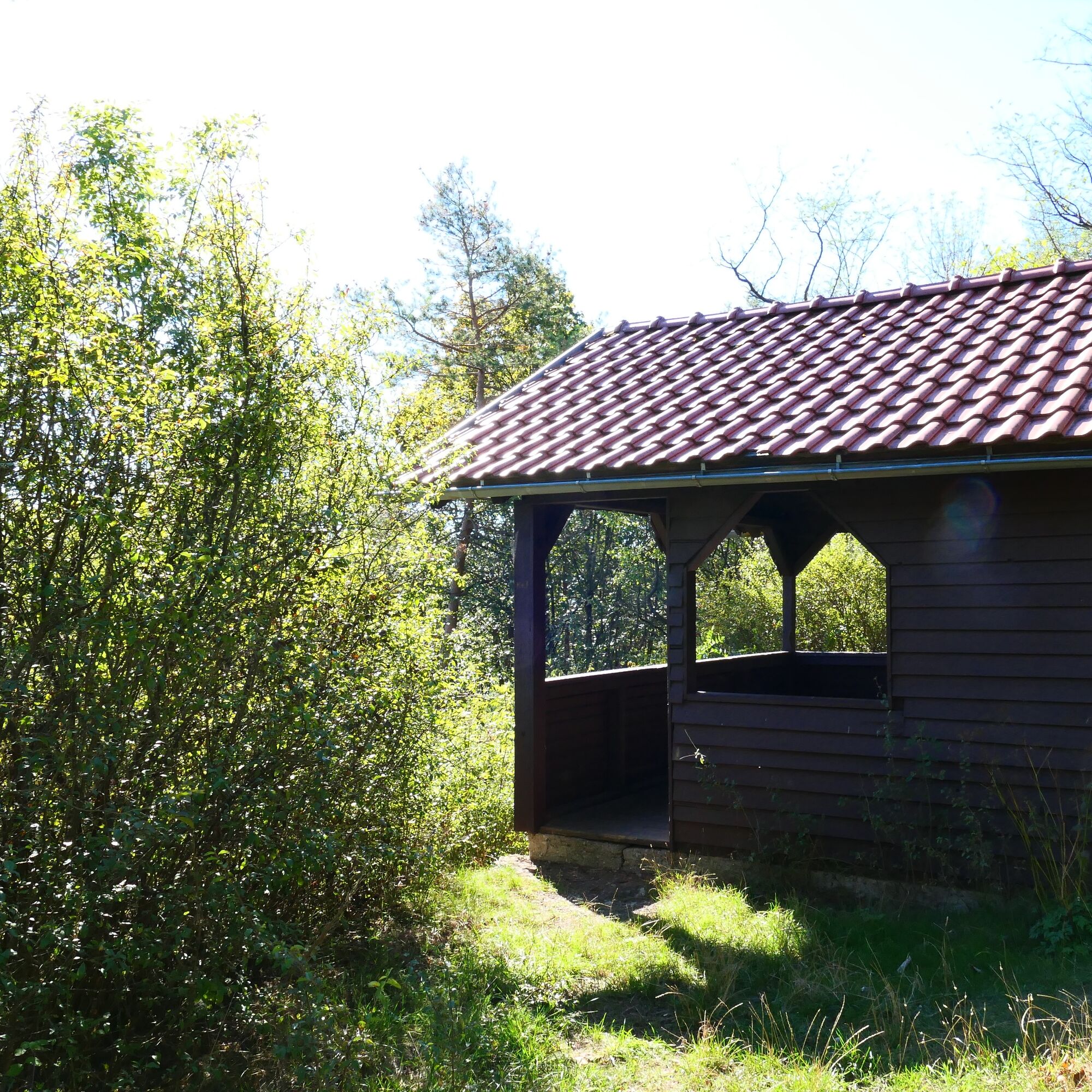

Meiningen Schlossplatz Street - Werra - Brunnenbach - Lohmühle - Dreißigacker - Kreuzberg - Kreuzberghäuschen - Old Town View - Brunnenbach - Lohmühle - Meiningen Schlossplatz Street
sturdy footwear
rainwear
first aid kit
GPS device or smartphone
drink supply
Please be aware of typical forest hazards and follow the instructions of the Thuringia Forestry staff. Disposal of waste is only allowed at designated places (rest areas with trash bins).
Leave the A71 at exit 21-Meiningen-Nord and follow the B19 towards Meiningen-Nord/Bad Salzungen/Kaltennordheim/Wasungen. Follow the L1140 and Rohrer Street via Marienstraße and turn right onto Georgstraße. Follow the road into Klostergasse. The parking lot is on the right side.
Meiningen can be reached by the South Thuringia Railway from the direction of Erfurt, Eisenach, and Sonneberg.
Arrival in Meiningen, Train Station
(Please enter the starting point and desired travel period in the form) Leave the South Thuringia Railway at the Meiningen stop. Through the English Garden you can reach Elisabethenburg Castle on foot in about 12 minutes.
Klostergasse Parking Lot, Klostergasse 2 (Google NAV point)
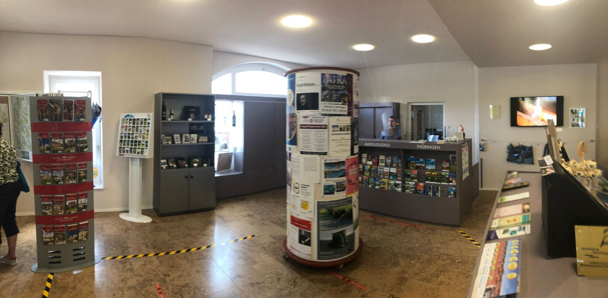
Ernestinerstr. 2
98617 Meiningen
E-mail: touristinfo@meiningen.gmbh
Tel: 03693 44650
Kreuzberghäuschen
Pridobite vpogled
Vedno v živo na mestu z več kot 9.500 spletnimi kamerami. bergfex Kot uporabnik Pro si lahko zdaj ogledate ustrezne spletne kamere za številne izlete v aplikaciji izleti iz. Tako si lahko neposredno ogledate trenutne razmere.
Priljubljeni izleti v okolici
-
4.4
Circular hiking route - EXTRATOUR - The Meininger
srednjaPohodništvo 10.8 km -
Euro Velo Route 13 Iron Curtain Trail
težkoKolesarjenje na dolge razdalje 652.1 km -
Dr. Malade - Rhön - Circular route - Hohe Geba
srednjaPohodništvo 8.34 km -
Tour 11: Dolmar - der Berg der Kelten
težkoMountainbike 59.8 km -
5.0
Celtic circular trail - Vachdorf
svetlobaPohodništvo 7.56 km -
4.0
Werra Water Hiking 2: Meiningen - Wernshausen
srednjaKajak / Kanu 24.7 km -
5.0
"On the Celtic Experience Trail" - Vachdorf-Wachenbrunn - Hike
srednjaPohodništvo 14.8 km -
"Nature Park Route Thuringian Forest" - From Hörschel to Saalfeld
srednjaMotorno kolo 466.4 km -
MDR Osterspaziergang 2026 Meiningen: Panoramatour über den Drachenberg
srednjaPohodništvo 10.7 km -
Circular hike - Ring path Meiningen - Werra Valley
težkoPohodništvo 23.4 km

Pohodništvo in sledenje


Ne zamudite ponudb in navdiha za naslednje počitnice
Vaš e-poštni naslov je bil dodan na poštni seznam.





