







Circular hike - "Favorite Places Loop" - Bad Liebenstein - Thuringian Forest
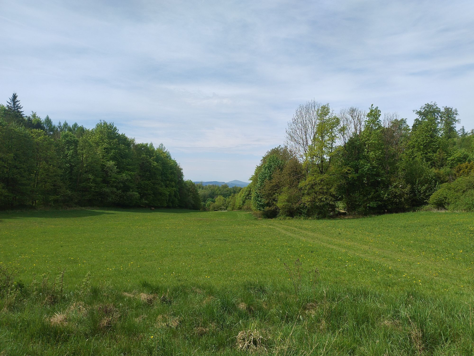
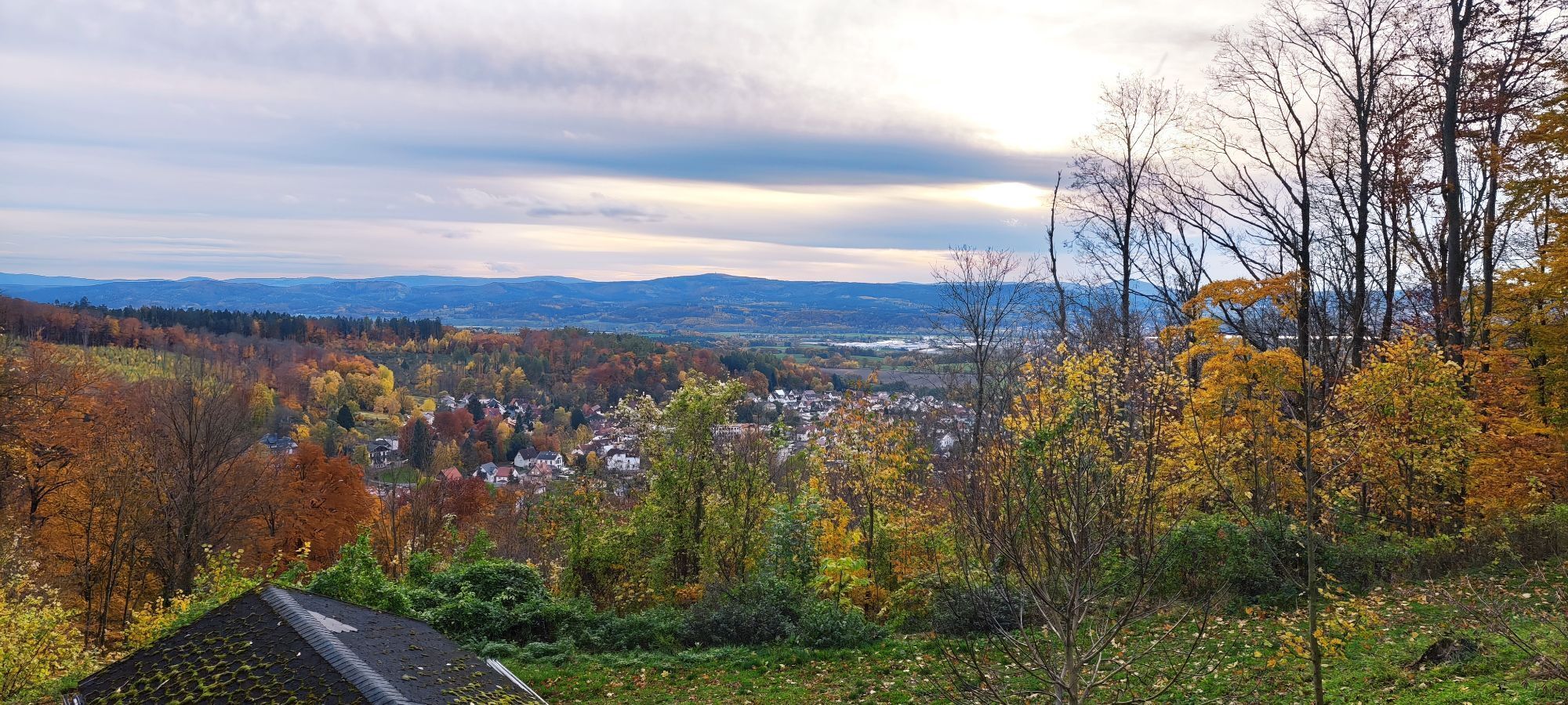
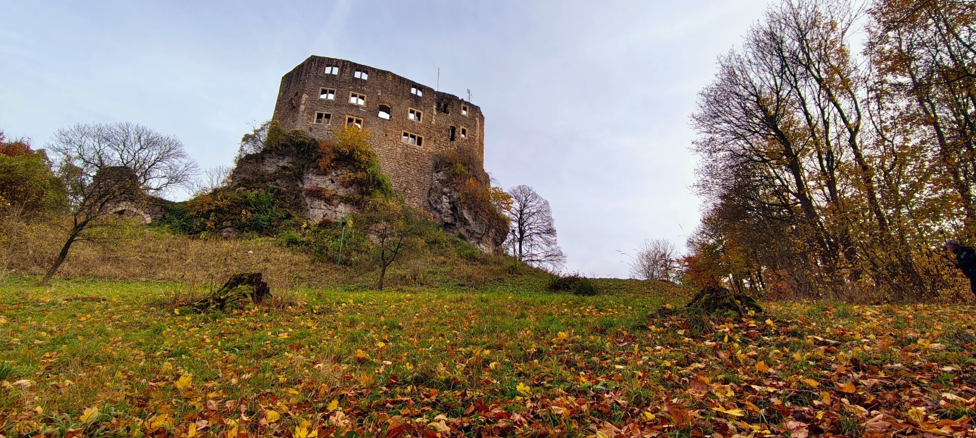
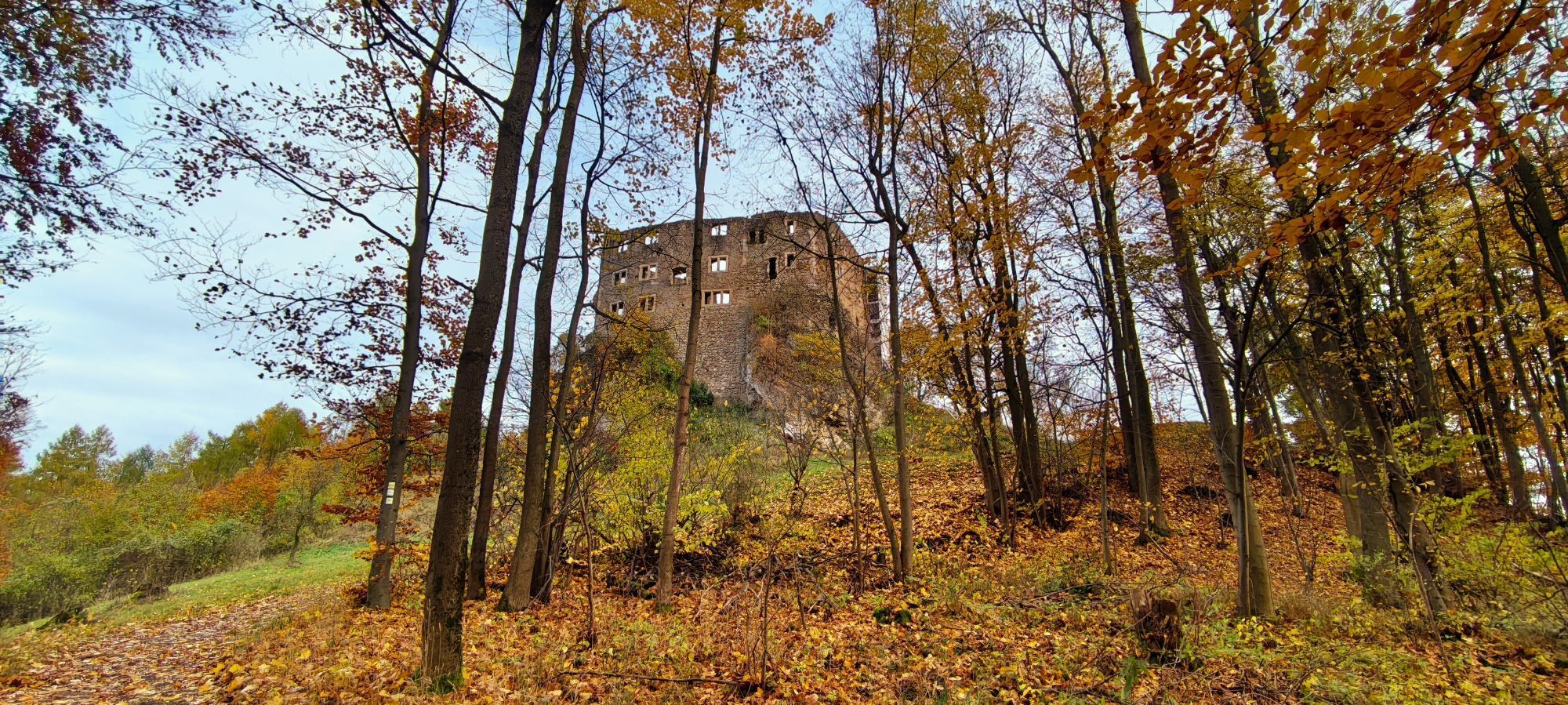
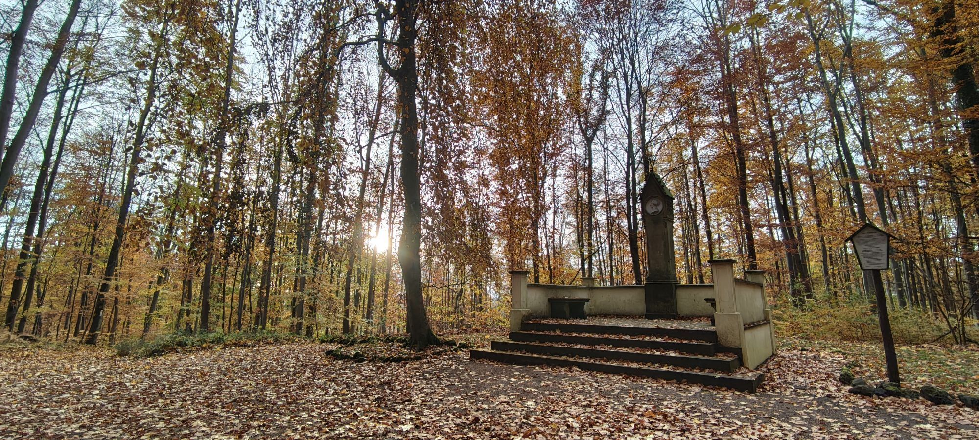
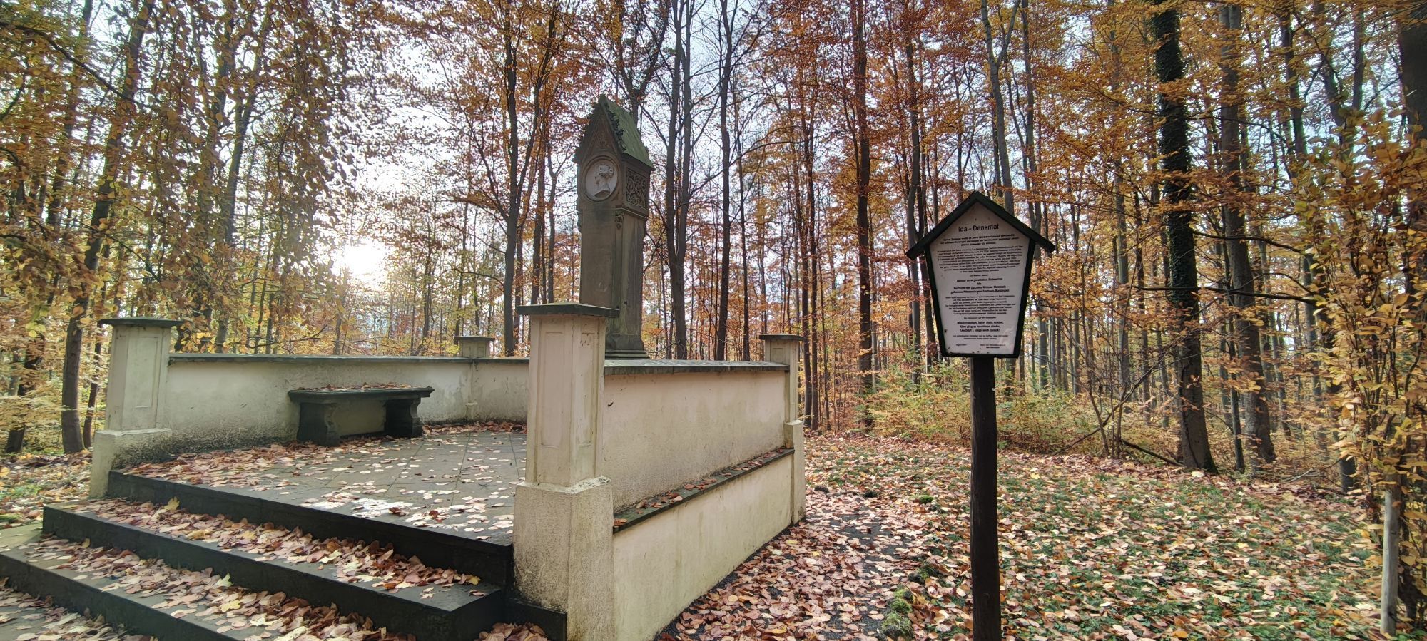
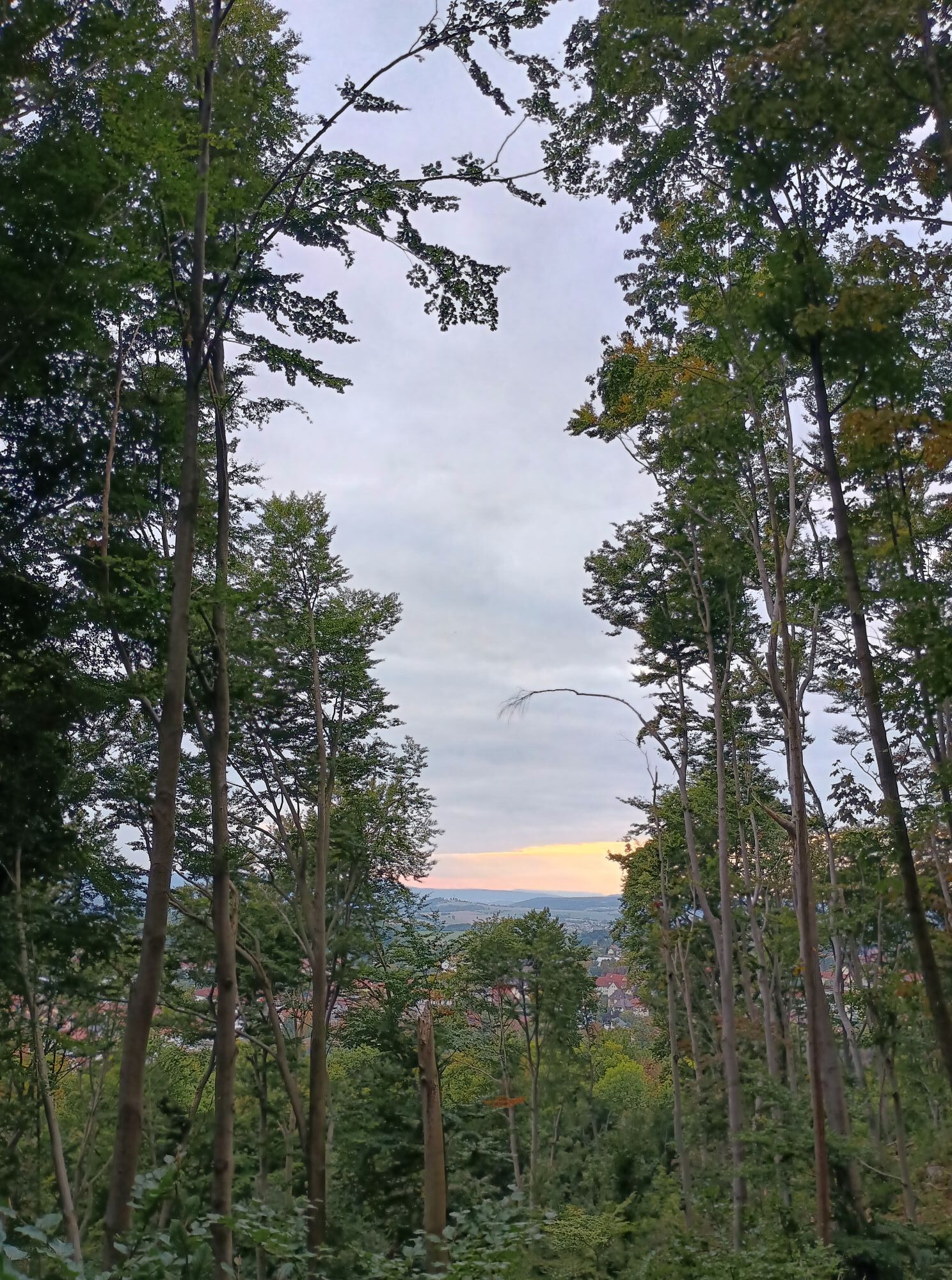
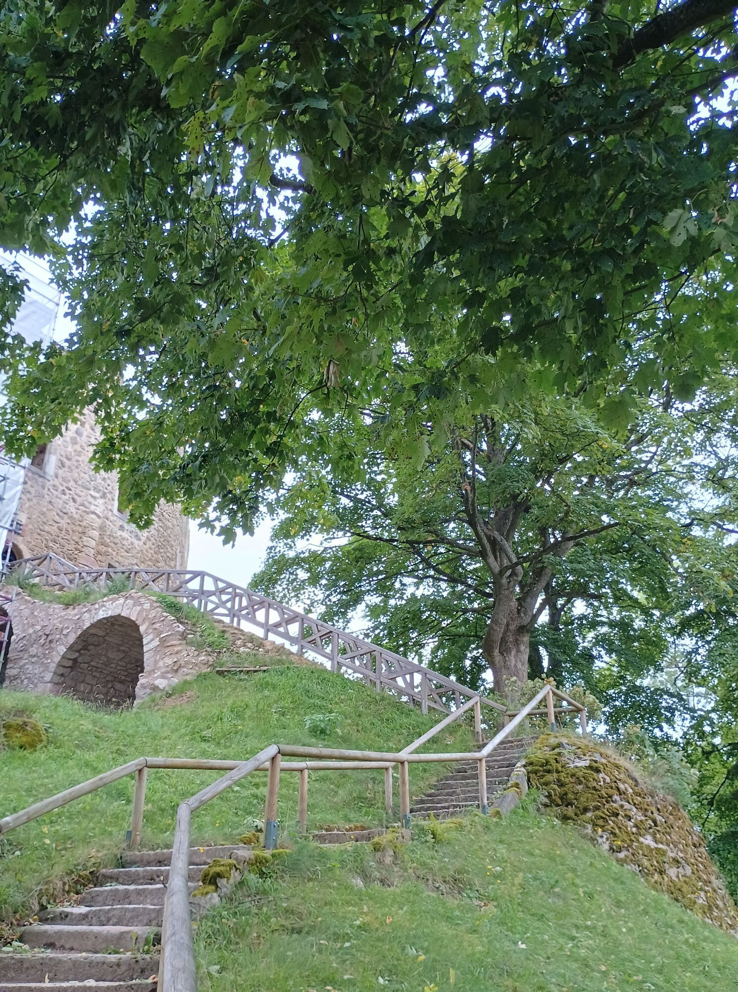
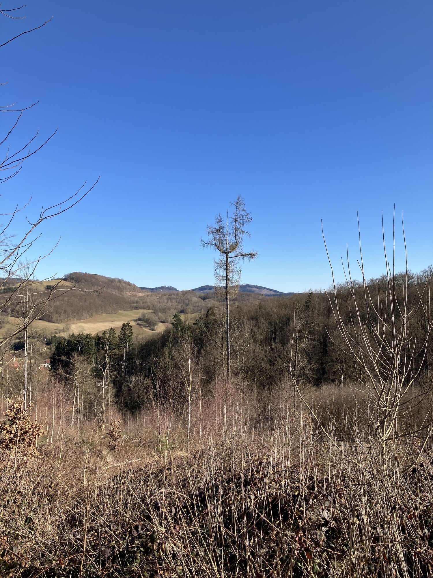
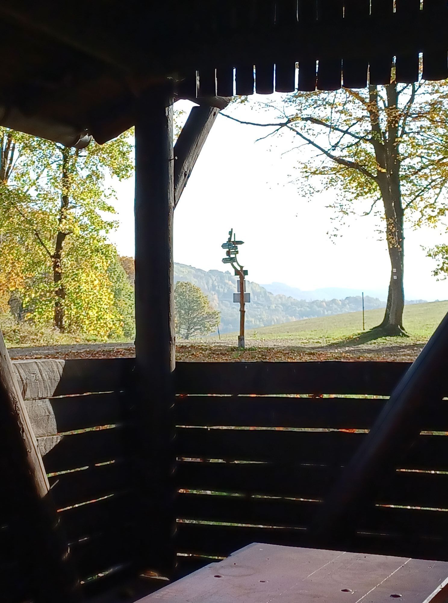
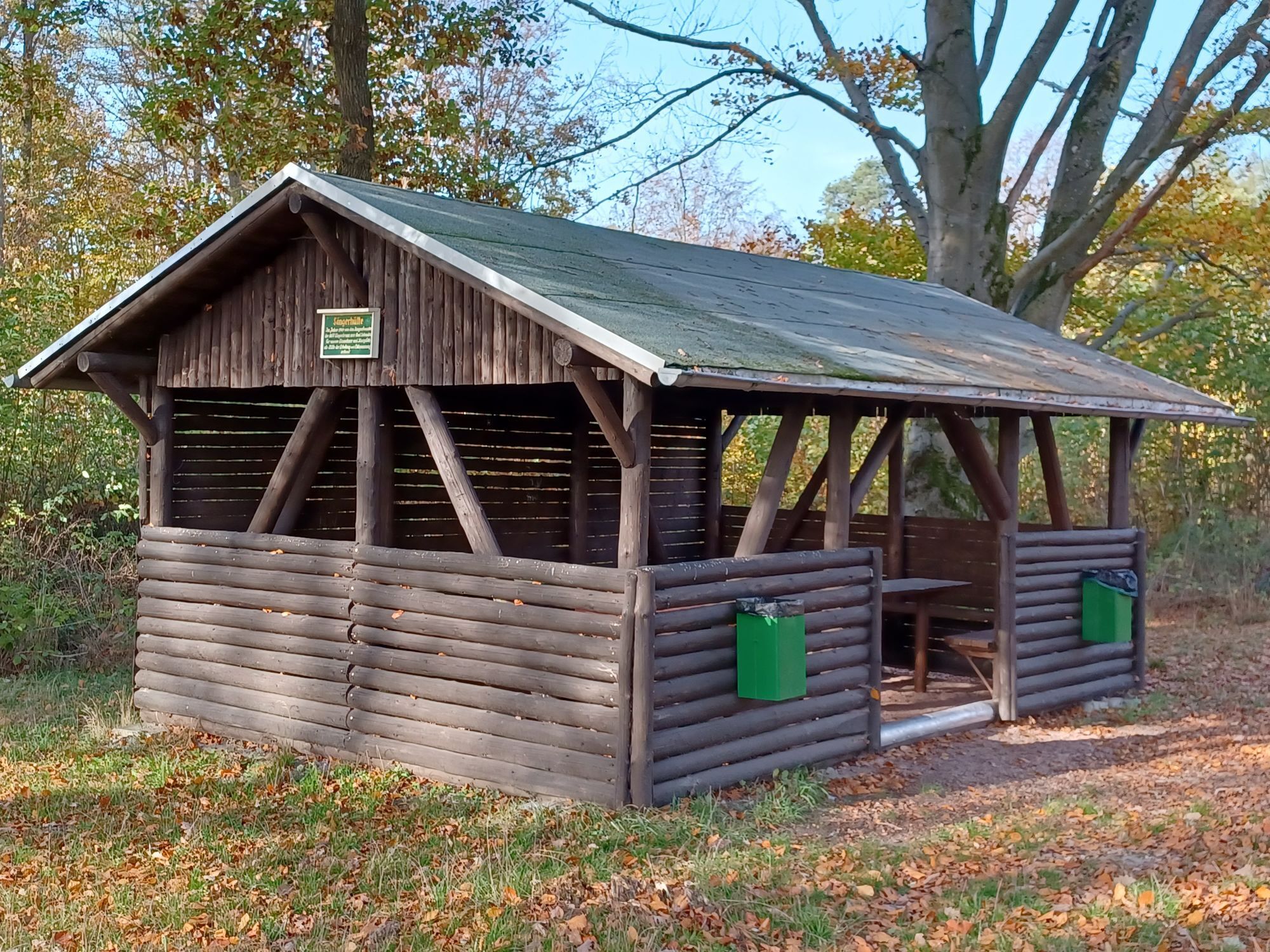
To explore your favorite places start from the Tourist Information via the Historical Post Office and turn onto the Esplanade. Passing the Friedenskirche, you reach Wernerplatz. From here, an idyllic forest...
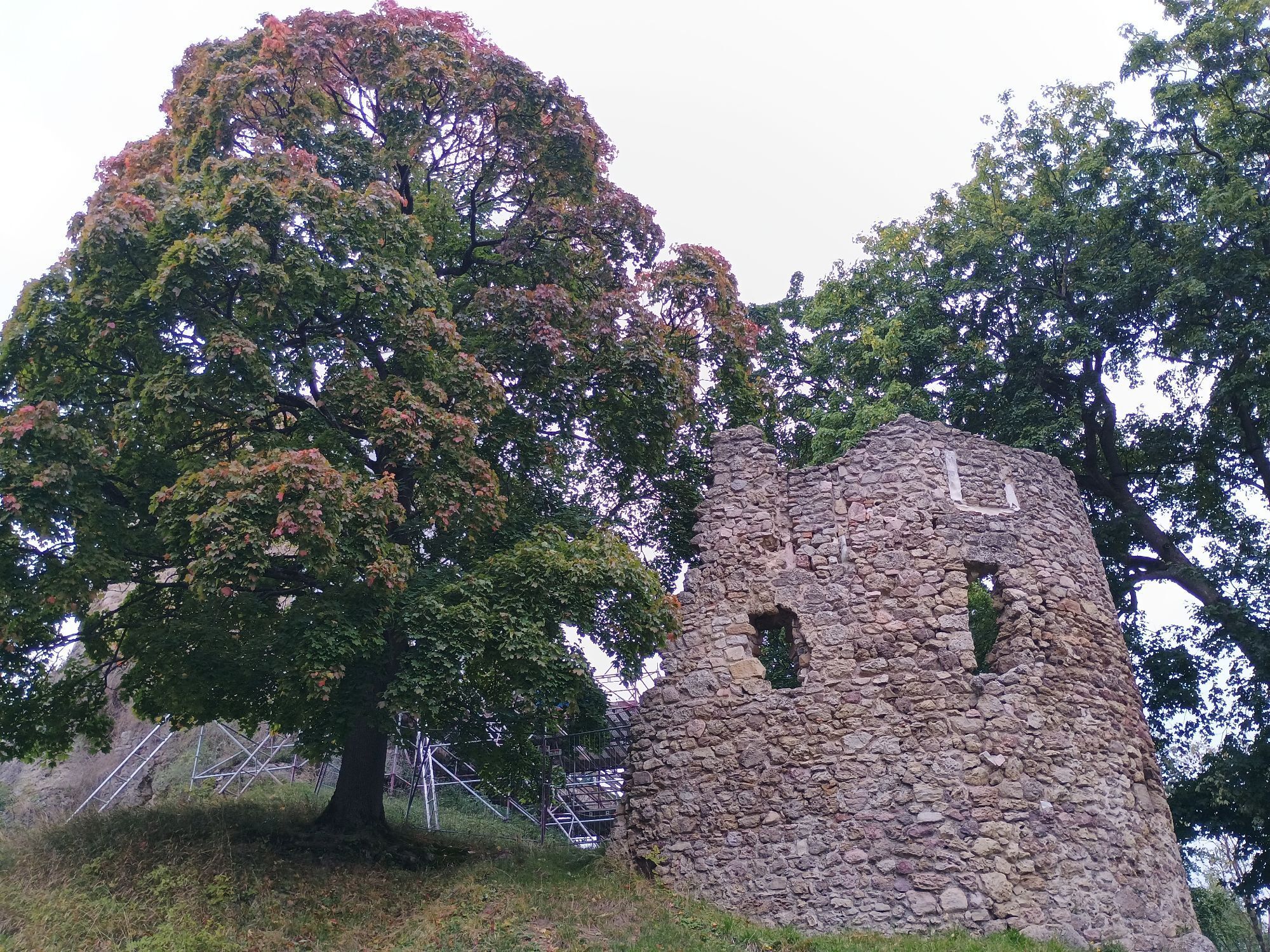
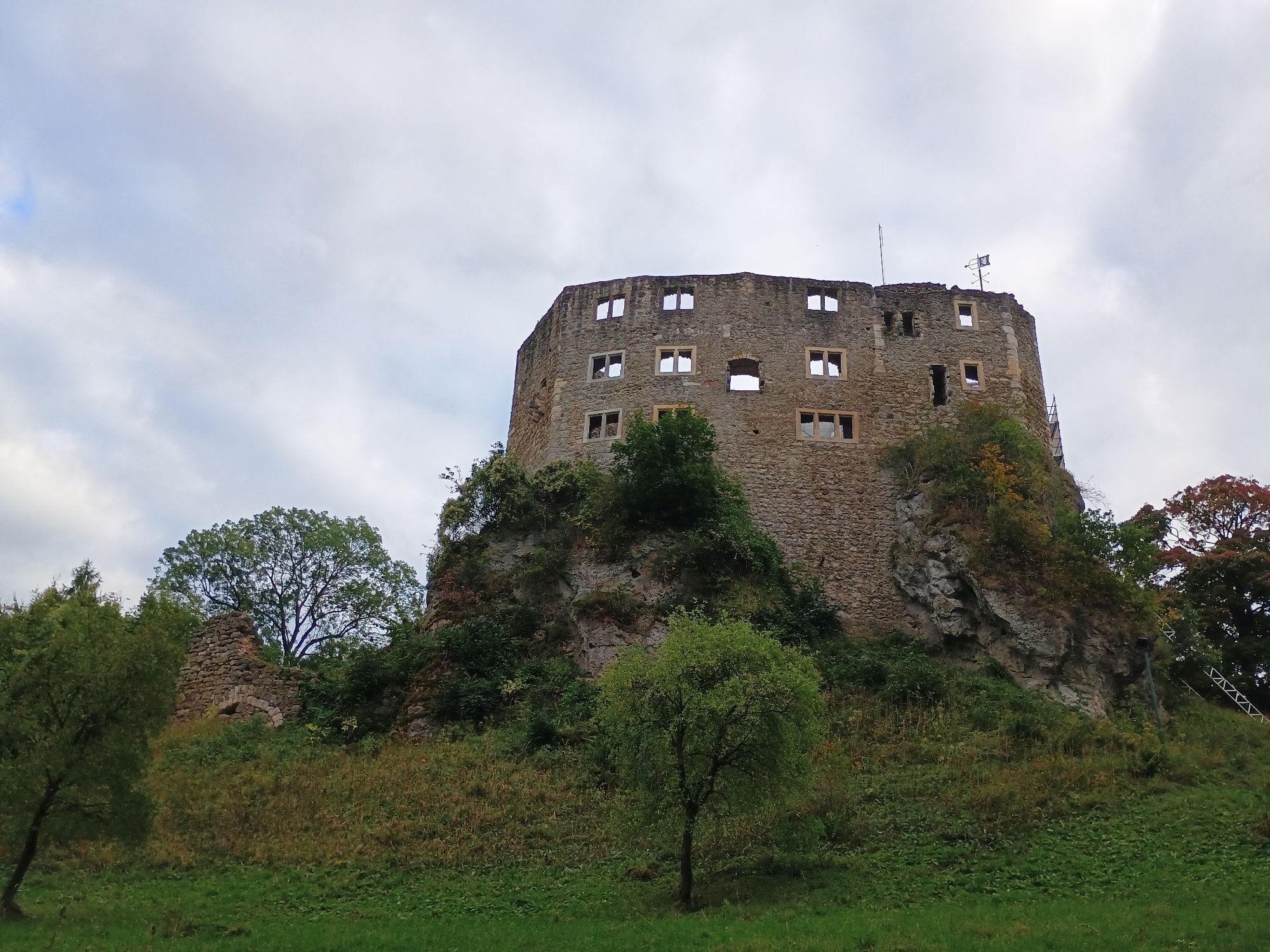
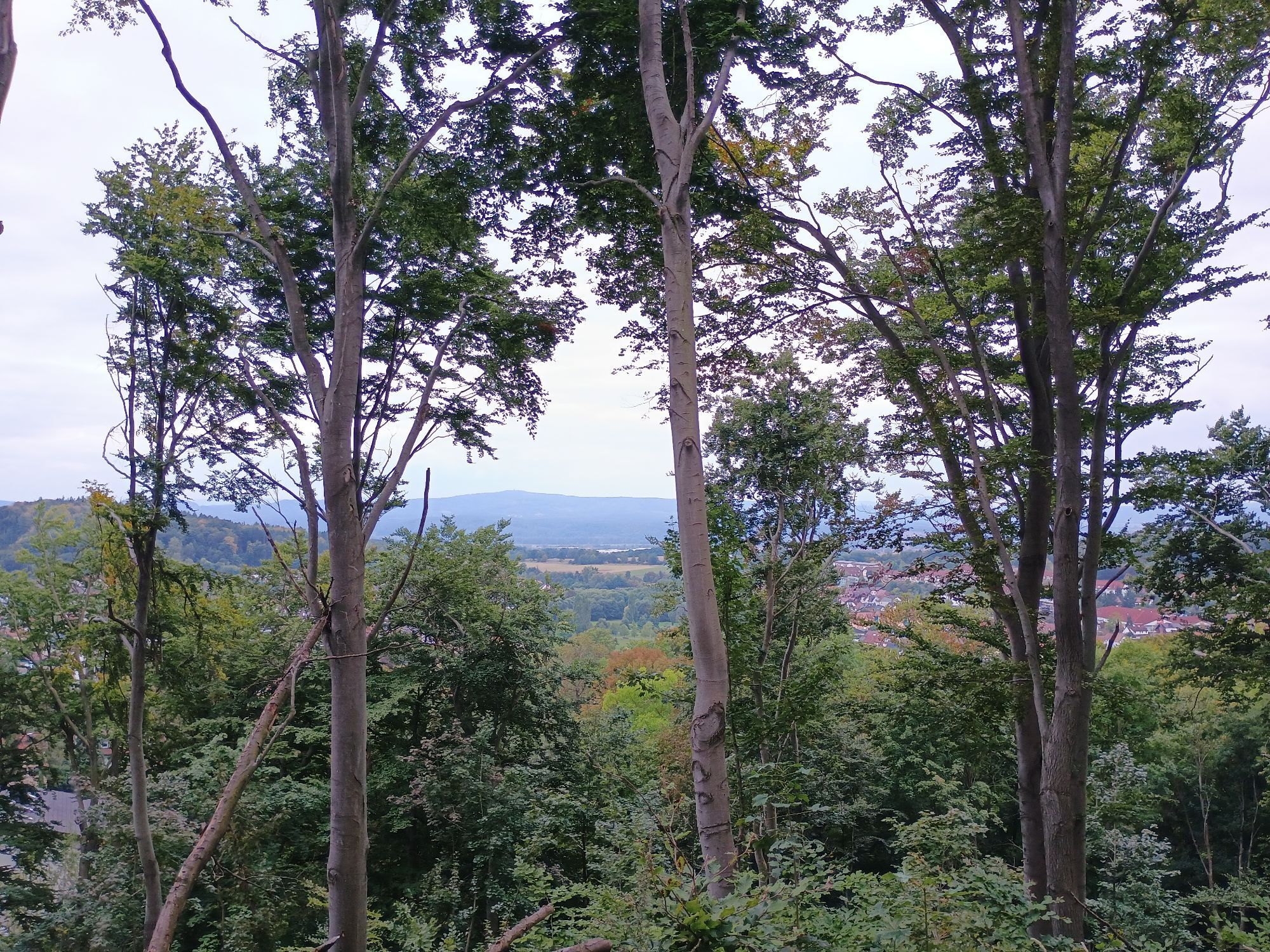
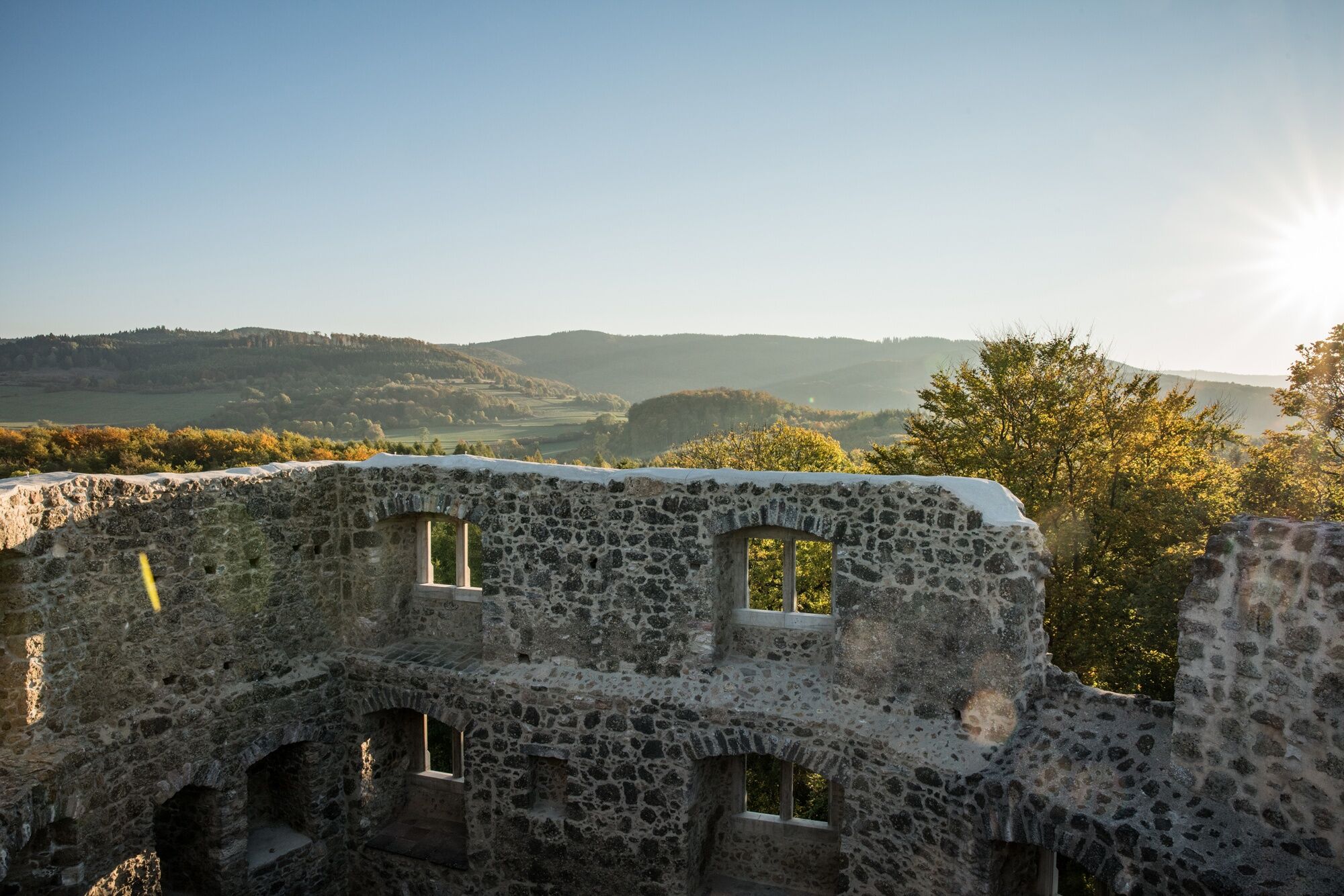
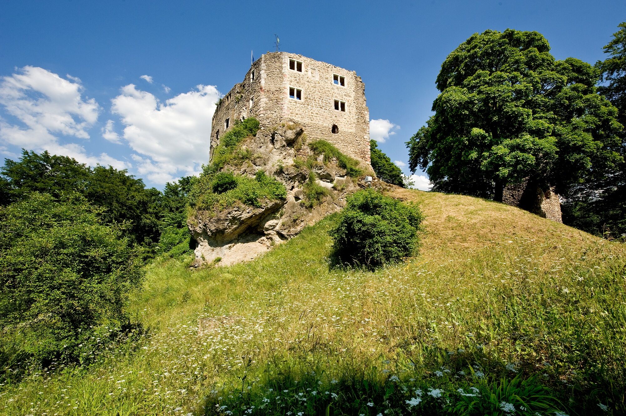
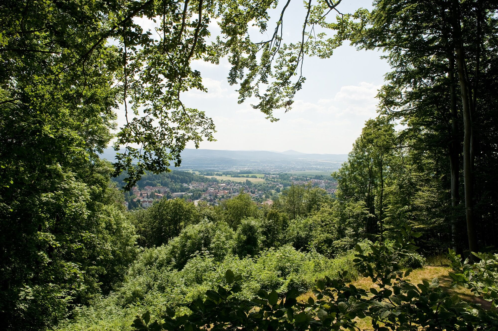
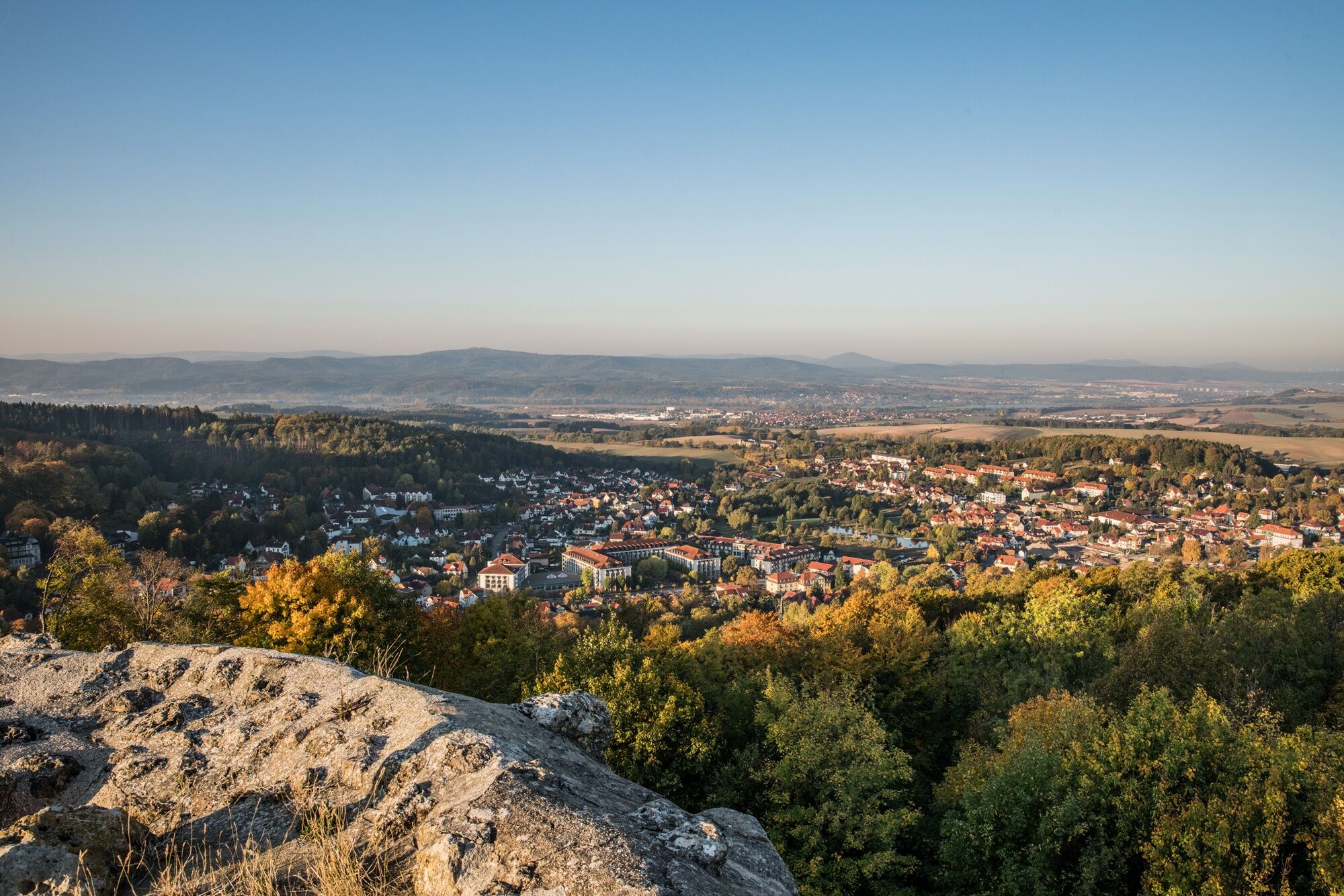
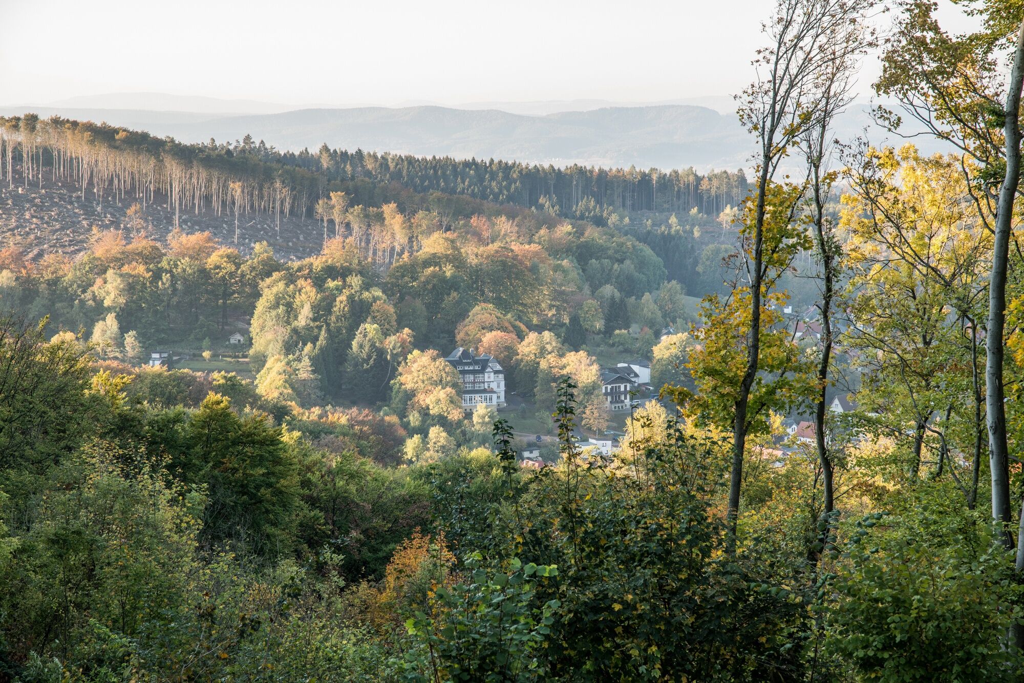
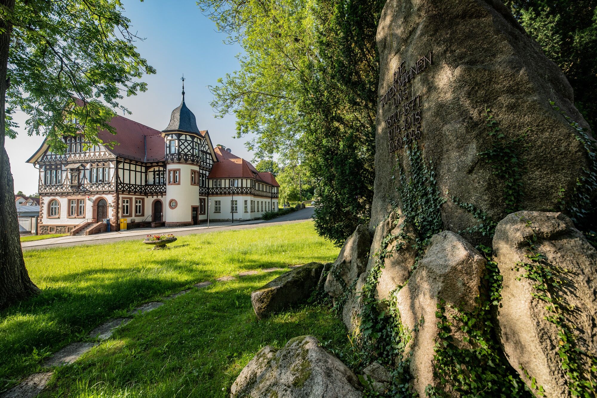
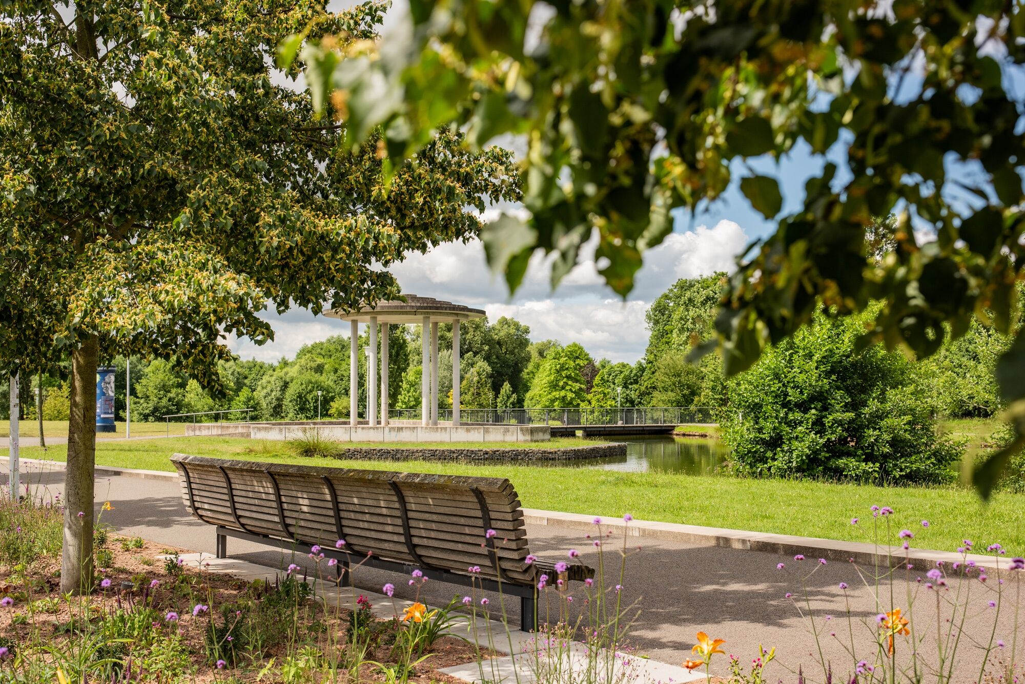
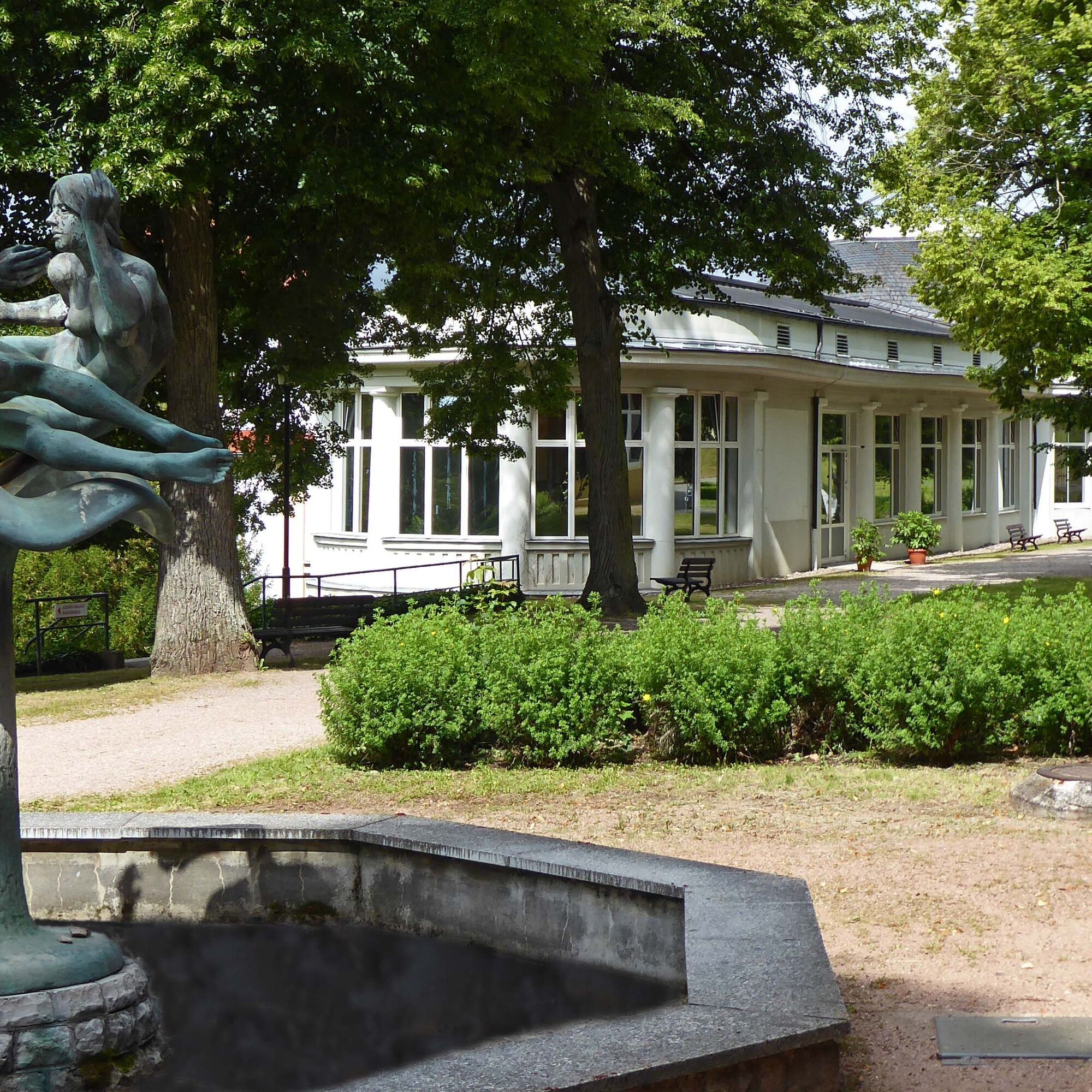
To explore your favorite places start from the Tourist Information via the Historical Post Office and turn onto the Esplanade. Passing the Friedenskirche, you reach Wernerplatz. From here, an idyllic forest path, the Marienweg, leads gradually uphill to the castle ruins. Enjoy the view and explore the old building. Then continue to the Werra Castle Trail and along Triniusstraße via the Sandleite to Hofmühlchen. After crossing the road, gently ascend Aschenberg to Kuhhalte. Halfway, there is the option to make a detour to the Gerhart-Hauptmann viewpoint. A soft forest path leads gradually down into Stilles Tal, from here along the Grumbach Meadow and through the New Spa Park back to the starting point at the Tourist Information.


Tourist Information – Herzog-Georg-Straße – Historical Post Office – Poststraße – Esplanade – Wandelhalle – Friedenskirche – Friedensallee – Wernerplatz – Marienweg – Ludwig-Bechstein-Platz – Ida Memorial – Bad Liebenstein Castle Ruins – Triniusstraße – Pfütze – Sandleite – Hofmühlchen – Aschenberg – Kuhhalte – Mooshütte Crossing – Gretchensloch – Stilles Tal – Meimerser Weg (Grumbach Meadow) – Grumbachstraße – New Spa Park – Tourist Information
Da
Sturdy footwear
Rainwear
First aid kit
GPS navigation device or smartphone
Be aware of typical forest hazards! Hiking is at your own risk! Avoid stepping on moss-covered stones and rocks because of the risk of slipping and watch out for dead wood, branches, and fallen trees.
From northern and northwestern Germany: Take the relevant highways to the A4 Eisenach direction Erfurt, then take the Friedewald/Bad Salzungen exit and follow the B62 and the signs to Bad Liebenstein.
From eastern and southeastern Germany: Take the relevant highways to the A4 Erfurt direction Eisenach, then take the Waltershausen exit and follow the signs to Bad Liebenstein.
From southern and southwestern Germany: Take the relevant highways to Würzburg, continue on the new A71 towards Erfurt, then take the Meiningen-Nord/Bad Salzungen exit and follow the B19 and the signs to Bad Liebenstein.
You can reach Bad Liebenstein by Deutsche Bahn. The nearest ICE station is about 30 kilometers away in Eisenach. A regional train station is about 11 kilometers away in Bad Salzungen. From both towns, bus line 190 runs directly to Bad Liebenstein.
The nearest parking lot is located at the Esplanade (Google NAV point). More information about parking options in Bad Liebenstein can be found here.
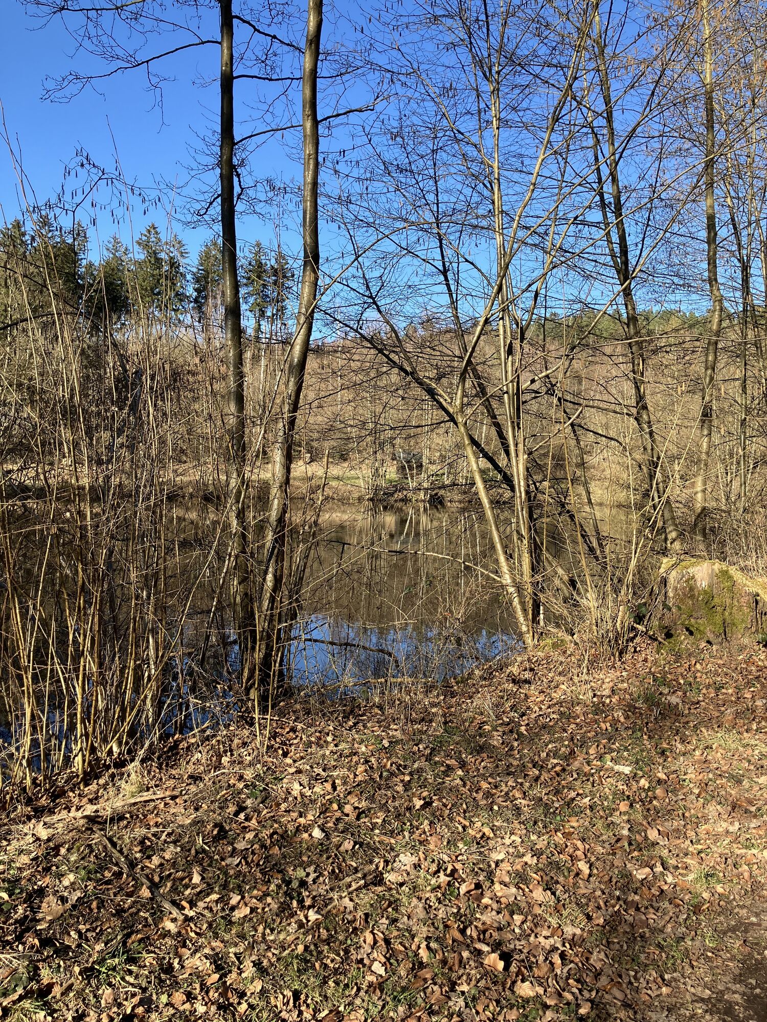
Enjoy the peace and unwind in Stilles Tal.

Priljubljeni izleti v okolici
- 4.5
Summit and panoramic route - Route 1 - Bad Tabarz
srednjaPohodništvo 10.9 km - 3.8
Wanderung zum Spitterfall
srednjaPohodništvo 14.6 km Tabarzer Vulkansteig
srednjaPohodništvo 9.91 km- 4.4
Circular hiking trail - "Trusetal Landmark Route" - Thuringian Forest
svetlobaPohodništvo 4.02 km - 4.8
Inselsberg tour - Tour 2 - Bad Tabarz
težkoPohodništvo 15.1 km - 3.2
Von Friedrichroda zum großen Inselsberg
srednjaPohodništvo 22.4 km - 3.5
Backofenloch circular route - route 6 - Bad Tabarz
srednjaPohodništvo 7.04 km - 4.0
Circular route - Tanzbuche - Friedrichroda - Thuringian Forest
srednjaPohodništvo 10.2 km - 5.0
Rundwanderweg - Marienglashöhle - Friedrichroda - Thüringer Wald
svetlobaPohodništvo 5.29 km - 4.0
Circular route - Spießberghaus - Friedrichroda - Thuringian Forest
srednjaPohodništvo 10.7 km

Pohodništvo in sledenje


Ne zamudite ponudb in navdiha za naslednje počitnice
Vaš e-poštni naslov je bil dodan na poštni seznam.





