


Benedictine Path - Route 4 - Bad Tabarz
Stopnja težavnosti: T1
The path connects the towns of Bad Tabarz, Friedrichroda, Reinhardsbrunn, and Waltershausen and stands for understanding and respect for regional history.
The route begins at the Tourist Information. From...
The path connects the towns of Bad Tabarz, Friedrichroda, Reinhardsbrunn, and Waltershausen and stands for understanding and respect for regional history.
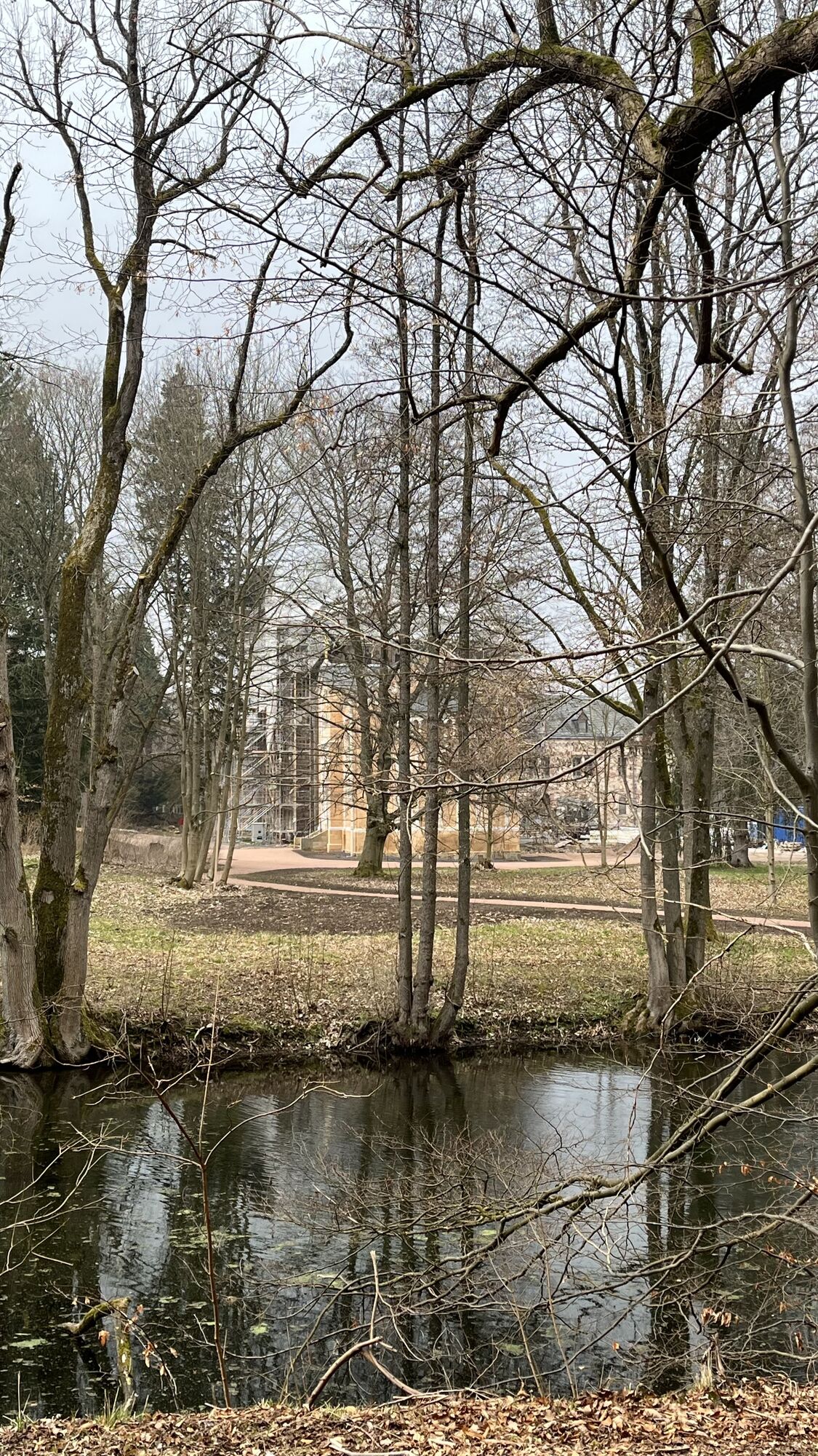
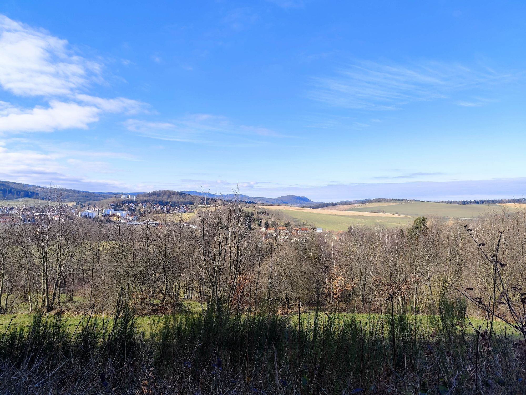
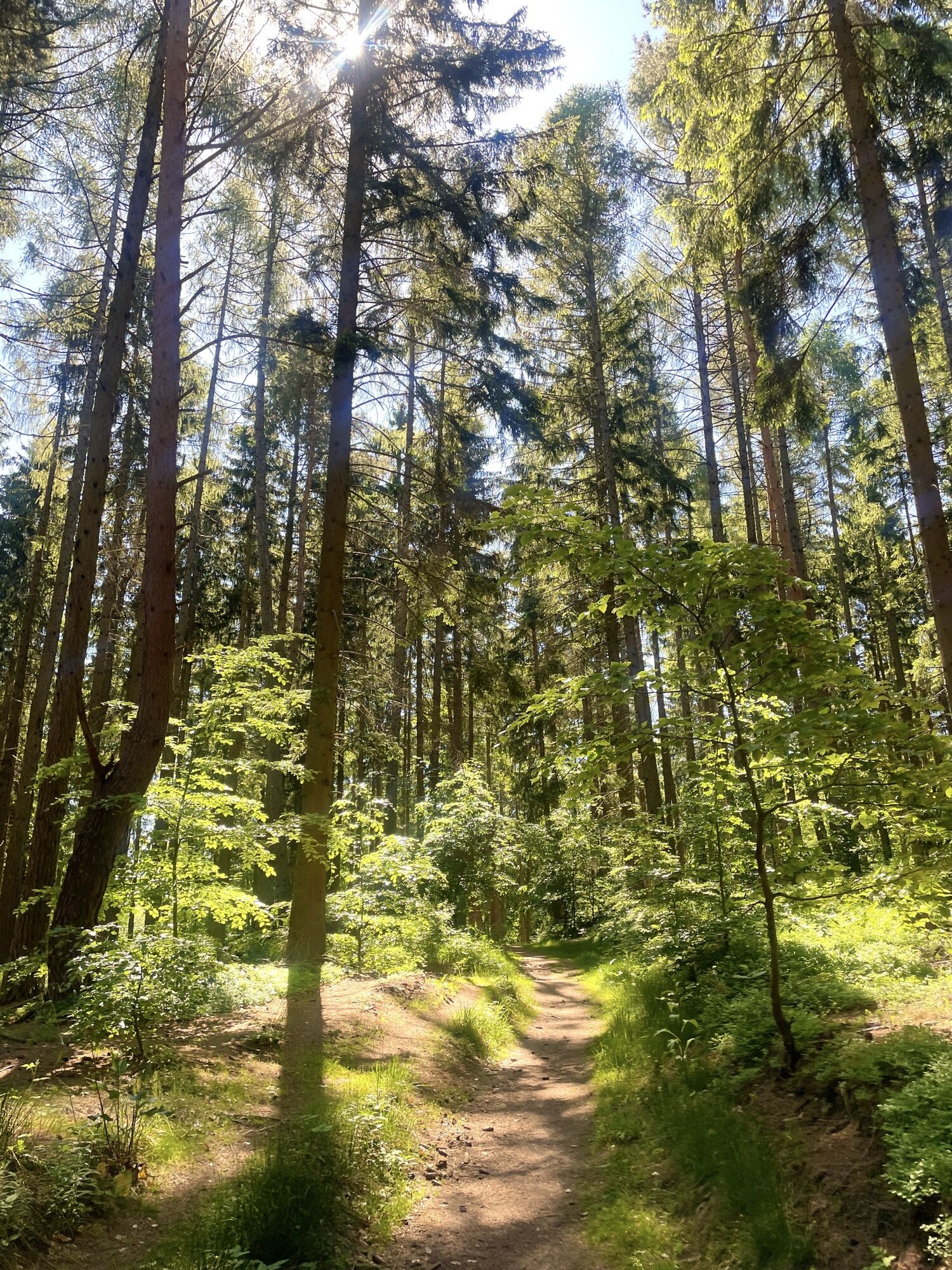
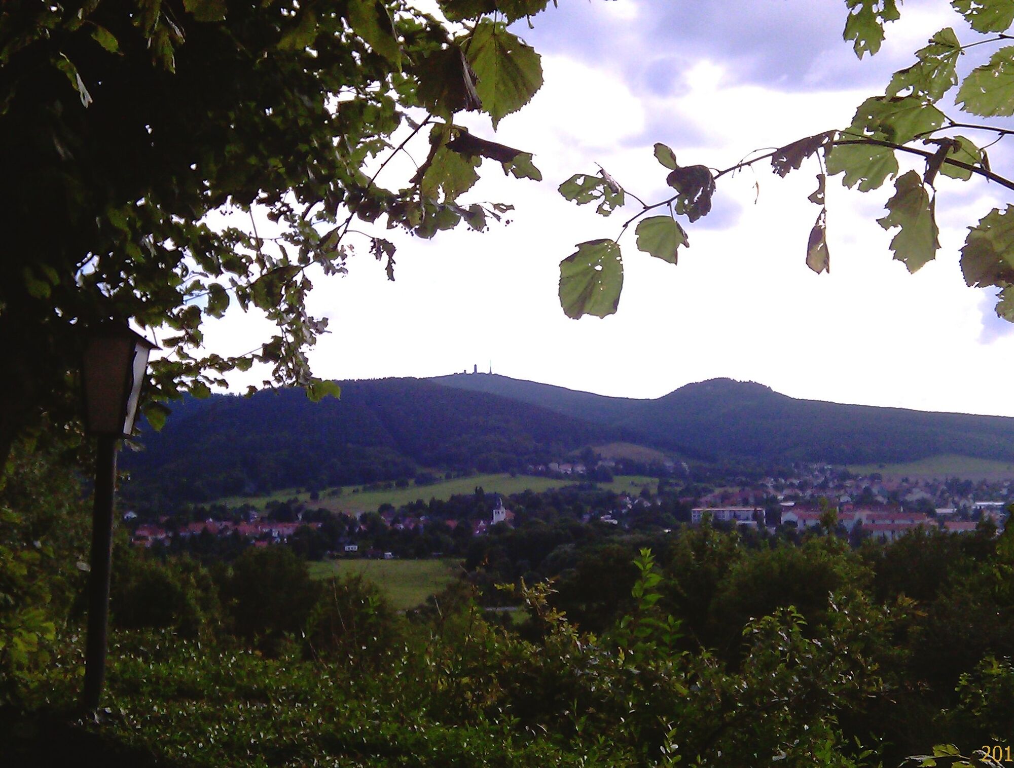
The route begins at the Tourist Information. From there, it goes through Theodor Neubauer Park and then right into Zimmerberg Street. At the Rennsteig Clinic, take the left onto the Peace Path and Friedrichrodaer Street. At the end of the street, turn right into the forest over Treppenmichelswiese, past the Tintenloch to Long Meadow with a rest area, continue to Marienglashöhle and on to Friedrichroda. (Beware of crossing the road!) Then it goes through the spa park over the Seebach Bridge, then gently uphill along Burchhardt Promenade to the Summsstein. Left, gently downhill past the Marian Chapel to Reinhardsbrunn station. There, cross the forest railway tracks to the left and walk along the old monastery walls (beware of crossing the road!), past the Gondel Pond to the bridge over the bathing water. Continue straight slightly uphill to Komstkoch Pond (pleasant rest area). Follow the trail marking to the shelter at the Herb Meadow. Before the rest area, turn right and straight on to the steps leading to a fairly steep ascent. At the top, continue on the ridge path to Tenneberg Castle. Then go left downhill to Unken Pond. Continue until you reach a wide path, turn left and after about 50 m turn right towards the Forest Altar. From here, follow the path through a wild romantic mixed forest to the rest stop "Cow Place." Continue right to the Deysingslust excursion restaurant. Down a left descent at Deysingslust you reach road B 88. Cross it at the pedestrian light. Along Waltershäuser Street, turn left at the first intersection into Schwimmbadweg. At the Tabbs adventure bath, keep right and walk along Karl-Kornhaß Street. At Reinhardsbrunner Street, turn right over Spindlerplatz into Lauchagrund Street to the starting point.

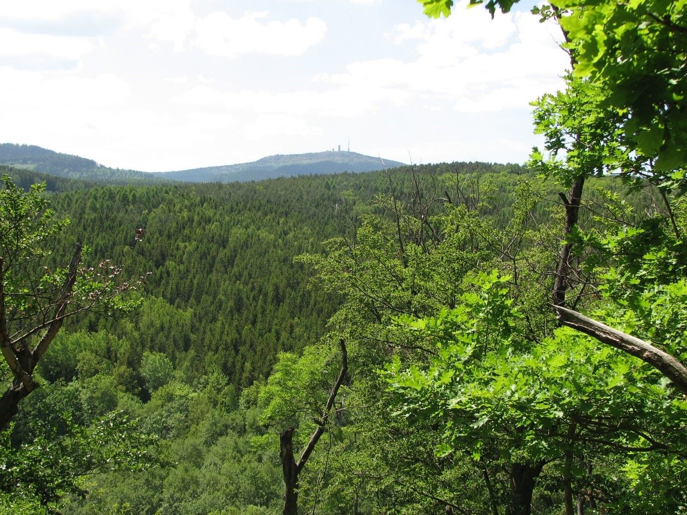
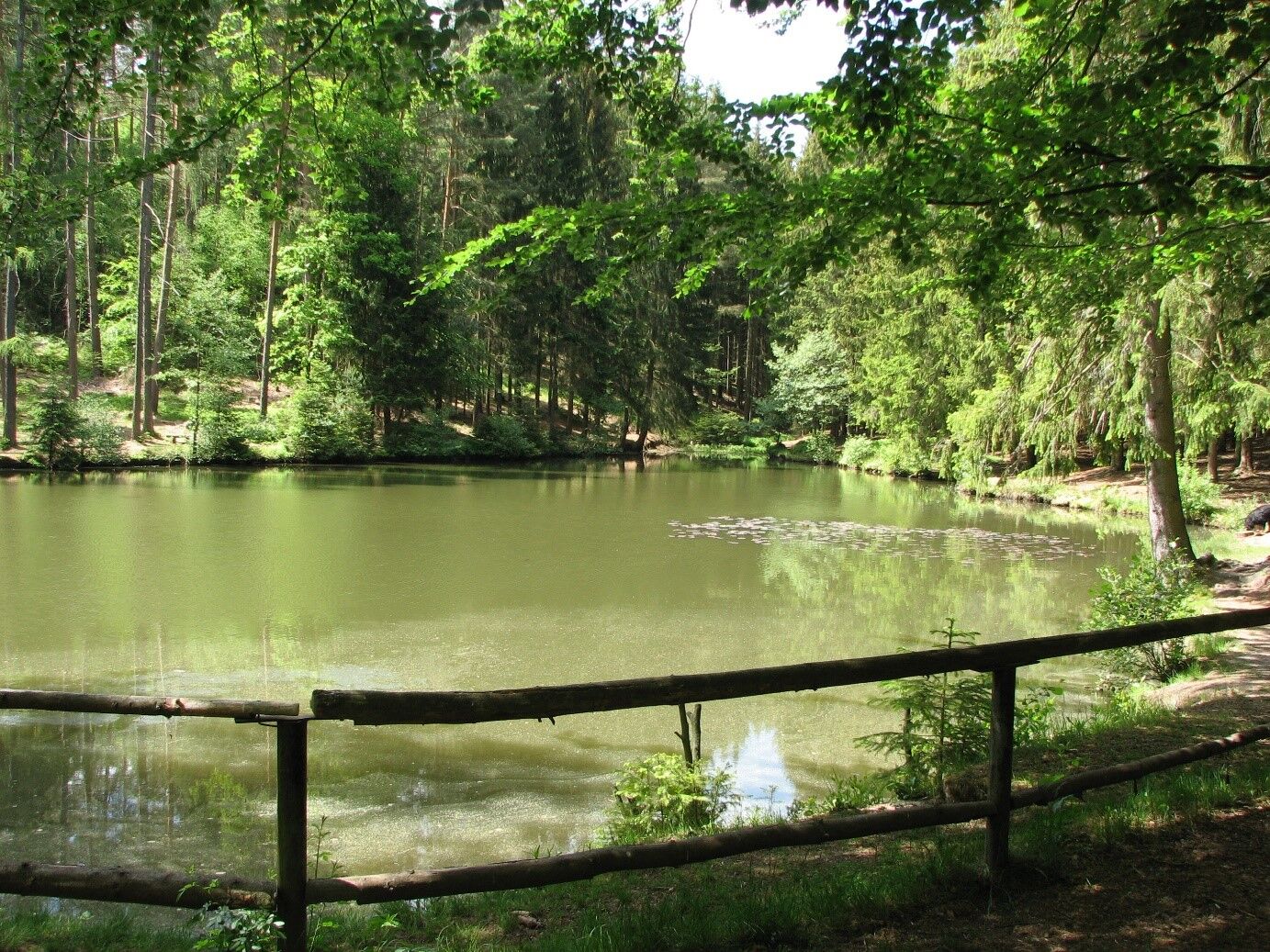
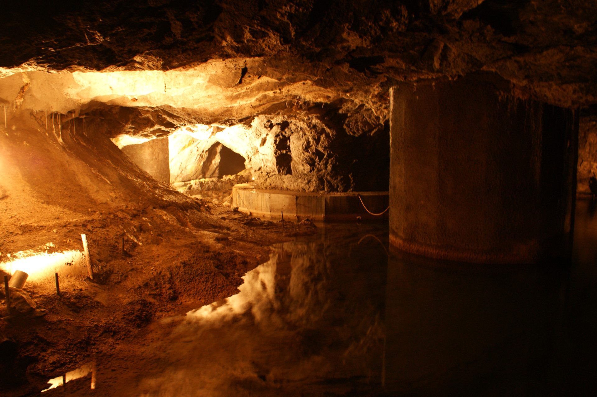
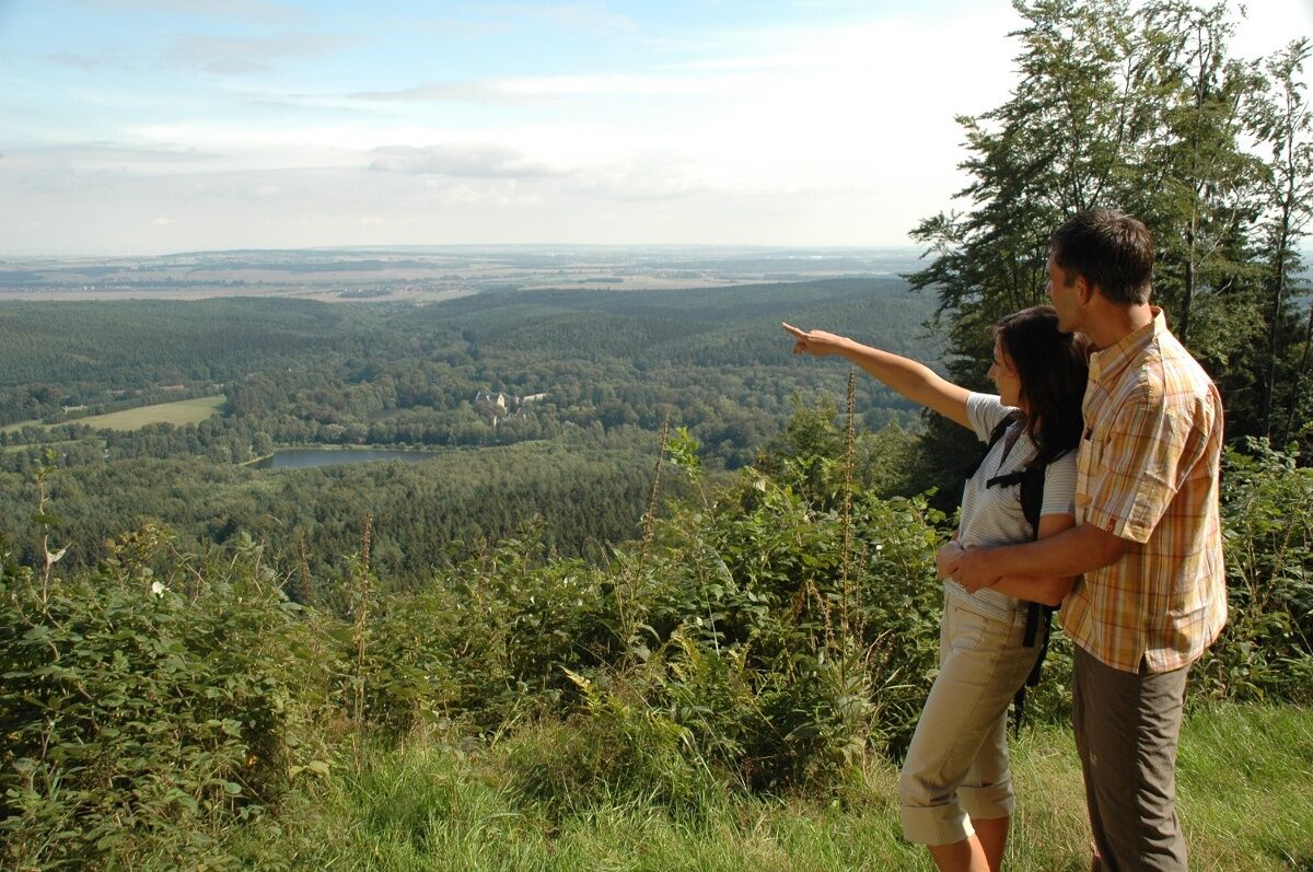

Tourist information - Rennsteig Clinic - Friedrichrodaer Street - Treppenmichelswiese - Long Meadow - Marienglashöhle - Friedrichroda Spa Park - Summsstein - Reinhardsbrunn station - Gondel Pond - Komstkoch Pond - Witch's Lawn - Herb Meadow - Baldrichstein - Tenneberg Castle - Unken Pond - Forest Altar - Cow Place - Deysingslust excursion restaurant - Tabbs - Bad Tabarz
Da
Sturdy footwear
Rainwear
First aid kit
GPS navigation device or smartphone
Be aware of the typical dangers of the forest!
Walking is at your own risk!
Coming from the A4, take exit 41a (Waltershausen) and then continue on L1027 towards Bad Tabarz.
Bad Tabarz is very easily accessible.
By train to Gotha main station. There you change to the Thuringian Forest Railway line 4. With an interesting and comfortable trip through the foreland of the Thuringian Forest, you reach the terminal station Bad Tabarz in about 45 minutes. If you already possess a spa card from Bad Tabarz, the ride on the forest railway is free of charge.
www.vmt-thueringen.de or the VMT app
By car, you reach Bad Tabarz via motorway A4, exit Waltershausen (between Eisenach and Gotha). After 7 km, you reach Bad Tabarz. Parking is available in the town center and at the Tabbs leisure pool. Directly at the town entrance behind the gas station, you can use the hiking parking lot. It is located on the circular hiking trails "Panorama Circular Trail" and "Benedictine Path". There is also a town map and a hiking map of Bad Tabarz there.
You can also reach Bad Tabarz by bus lines 445/146 from Schmalkalden (with Deutsche Bahn connection). For travel planning, just use the following link:
Just add your desired travel date and starting point.
Theodor Neubauer Park / Lauchagrund Street Google NAV Point
Parking lot behind the savings bank Google NAV Point
Parking lot on Reinhardsbrunner Street Google NAV Point
T1
www.vmt-thueringen.de
Marienglashöhle Friedrichroda
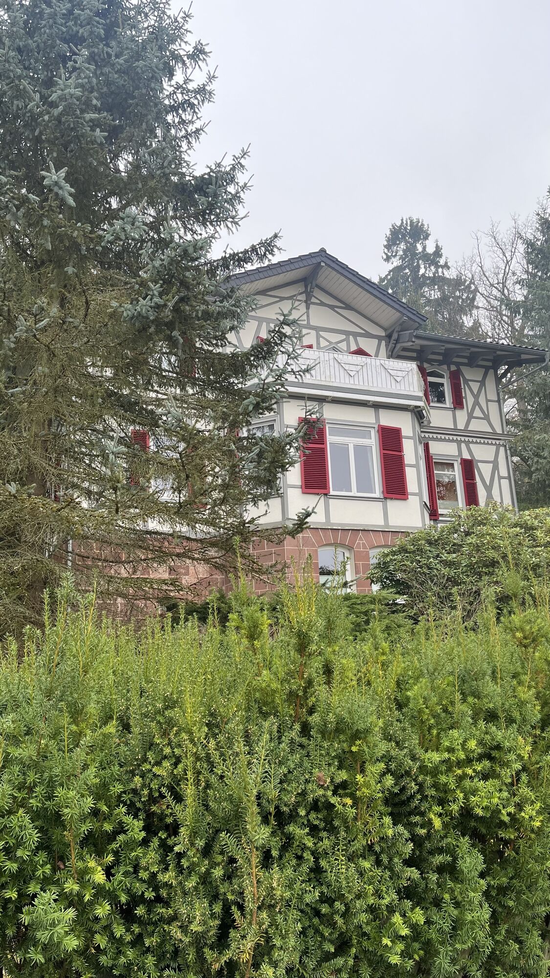
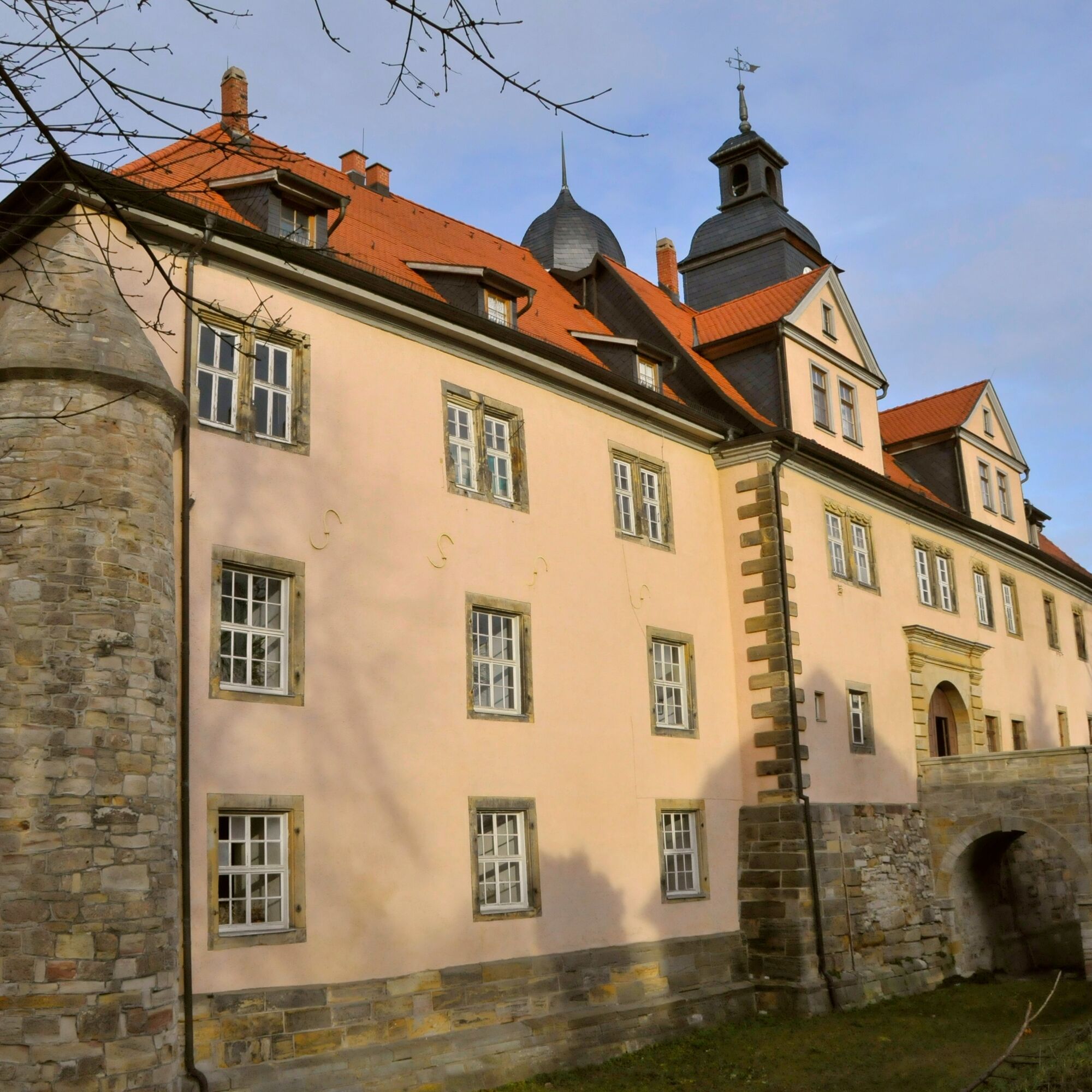
Tenneberg Castle
Priljubljeni izleti v okolici
- 4,4
Circular hike "Old Tambach Dam", Tambach-D., Thuringian Forest
srednjaPohodništvo 8,33 km - 4,5
Summit and panoramic route - Route 1 - Bad Tabarz
srednjaPohodništvo 10,9 km - 3,8
Wanderung zum Spitterfall
srednjaPohodništvo 14,6 km - 4,8
Circular hike - Schmalwasser reservoir - Tambach-Dietharz - Thuringian Forest
srednjaPohodništvo 13,8 km - 4,5
Circular hike - Legendary Hörselberge - Great Hörselberg near Eisenach - Thuringian Forest
srednjaPohodništvo 10,6 km Tabarzer Vulkansteig
srednjaPohodništvo 9,91 km- 3,2
Von Friedrichroda zum großen Inselsberg
srednjaPohodništvo 22,4 km - 4,5
Circular hiking trail - "Trusetal Landmark Route" - Thuringian Forest
svetlobaPohodništvo 4,02 km - 5,0
Inselsberg tour - Tour 2 - Bad Tabarz
težkoPohodništvo 15,1 km - 3,5
Backofenloch circular route - route 6 - Bad Tabarz
srednjaPohodništvo 7,02 km

Pohodništvo in sledenje


Ne zamudite ponudb in navdiha za naslednje počitnice
Vaš e-poštni naslov je bil dodan na poštni seznam.