







Hike - "Breitungen Rennsteig" - from Dreiherrnstein to Breitungen - Bad Liebenstein - Thuringian Forest
Stopnja težavnosti: T2
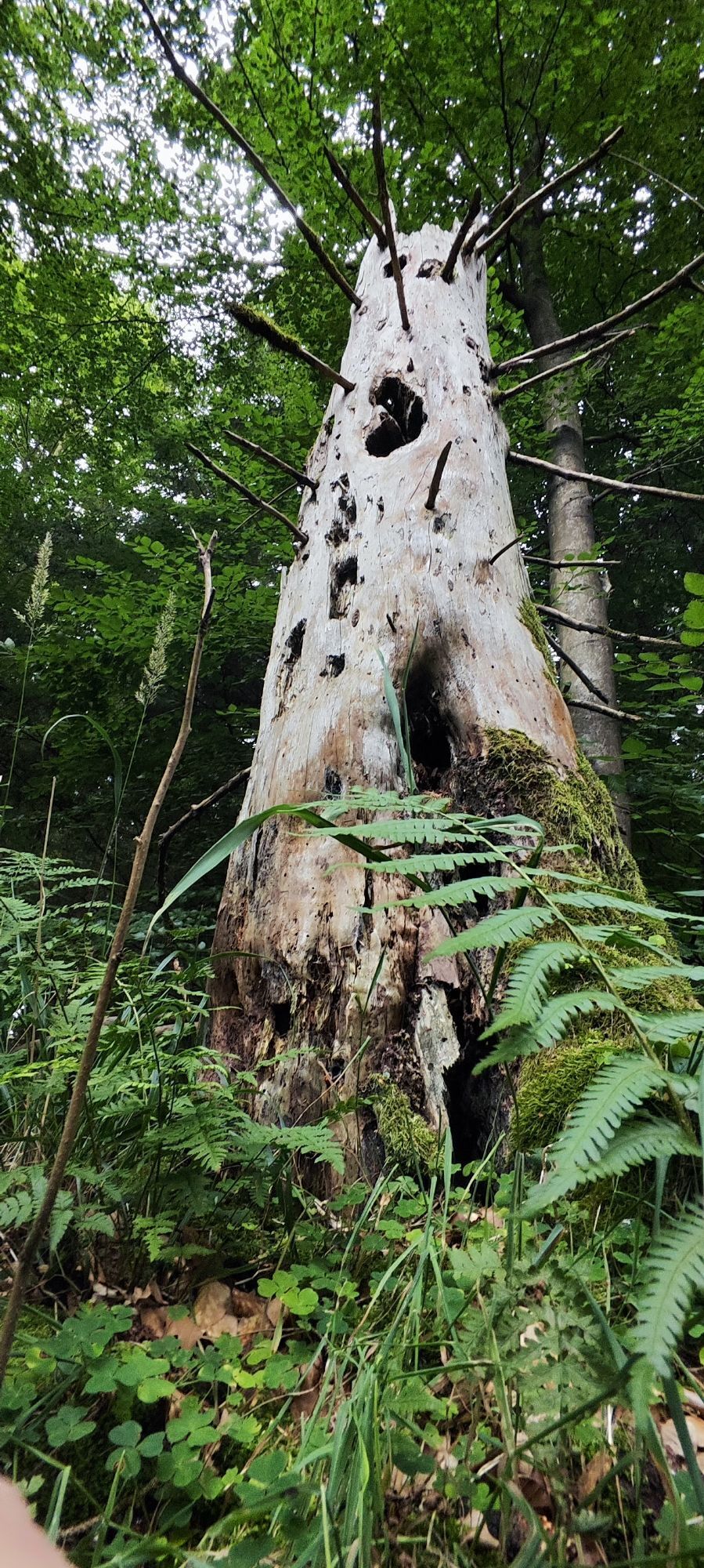
The start is at Dreiherrnstein on the Großer Weißer Berg. From here, go downhill via Brotteroder Straße and Lower Beerberg. Enjoy the views into the Rhön and the Werra valley at Questenstein, Rennwegskopf,...
The start is at Dreiherrnstein on the Großer Weißer Berg. From here, go downhill via Brotteroder Straße and Lower Beerberg. Enjoy the views into the Rhön and the Werra valley at Questenstein, Rennwegskopf, Judenkopf, or on the Hohe Klinge. From here, the path continues past the Bairodaer Landwehr through a meadow valley to Bairoda. From there, a footpath leads further over the Wolfsberg farm and up to the Kleine Wolfskuppe. Through open landscapes, continue over Saarkopf, Klausberg, and Vogelsberg until reaching the castle and basilica in Breitungen. Here, cross the street and reach the shore of the Werra.

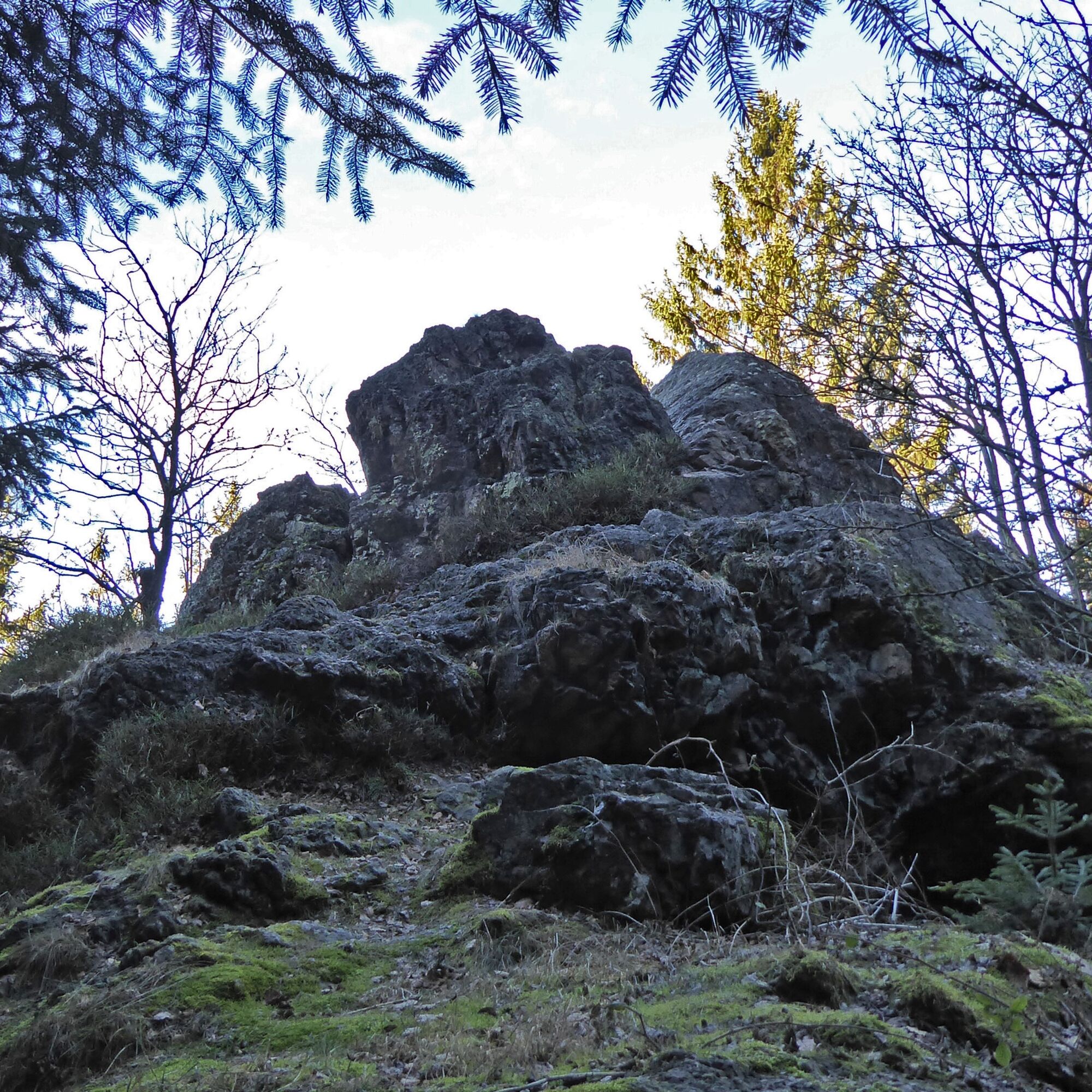
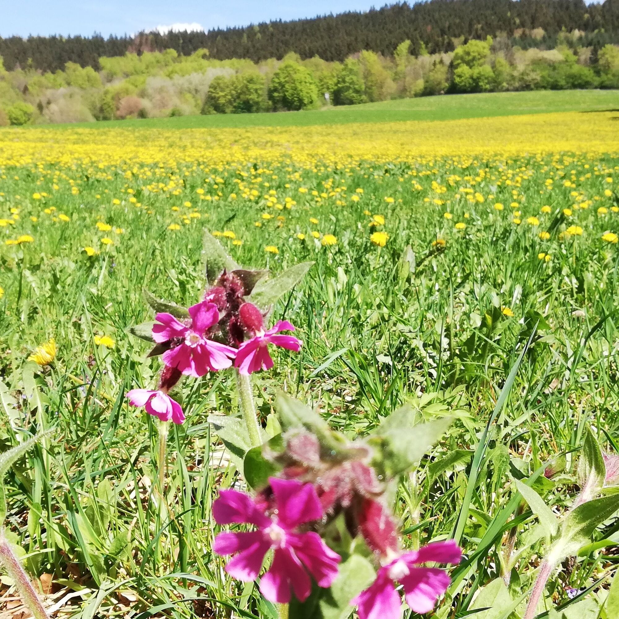
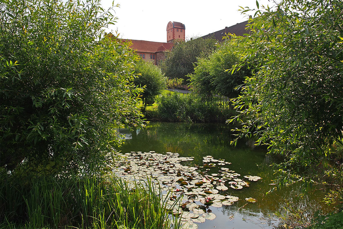
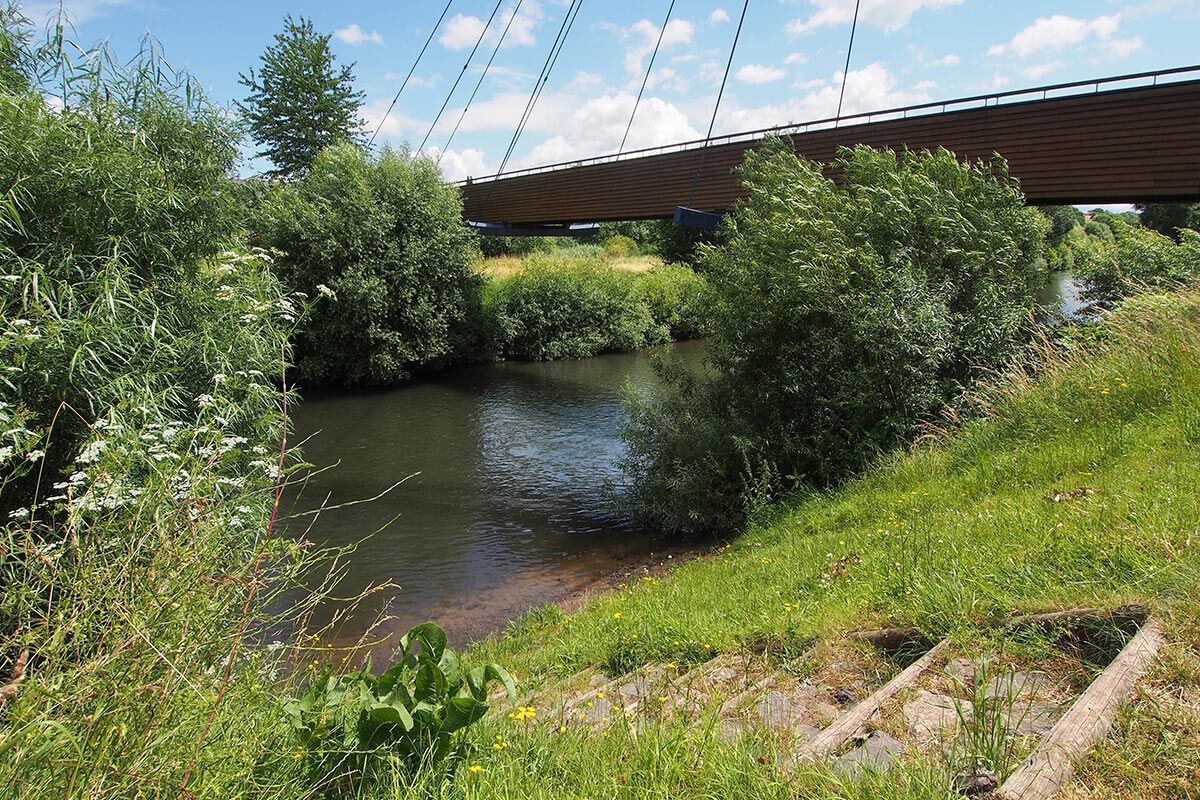
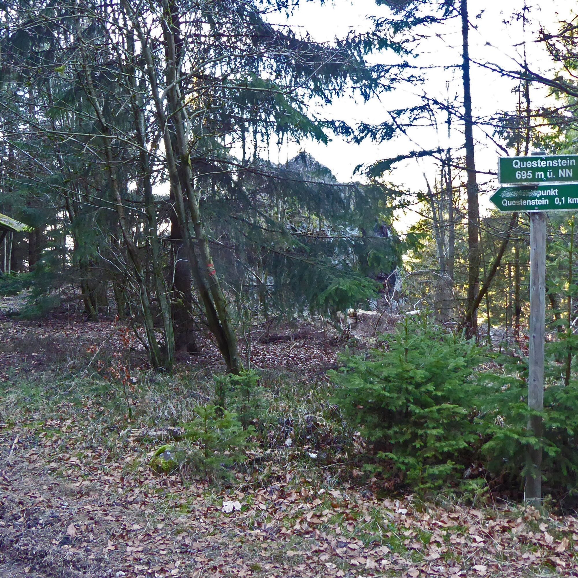
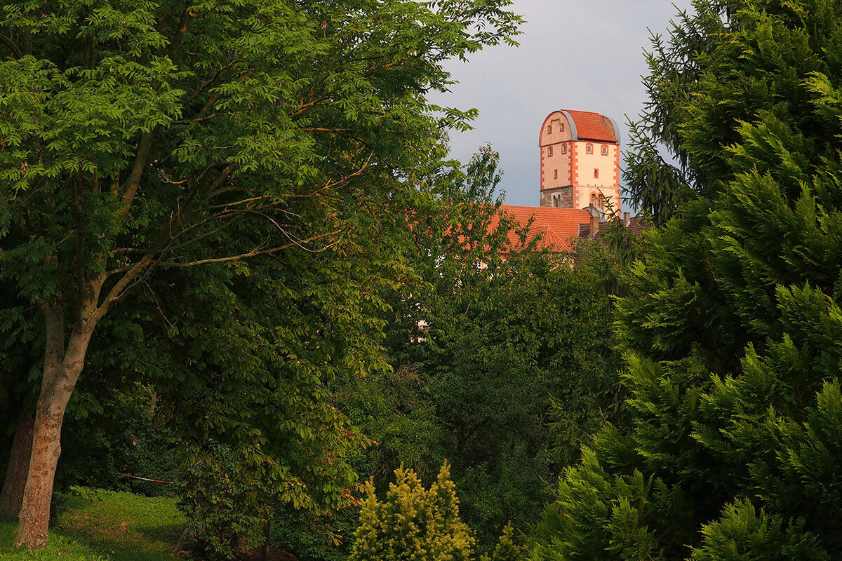
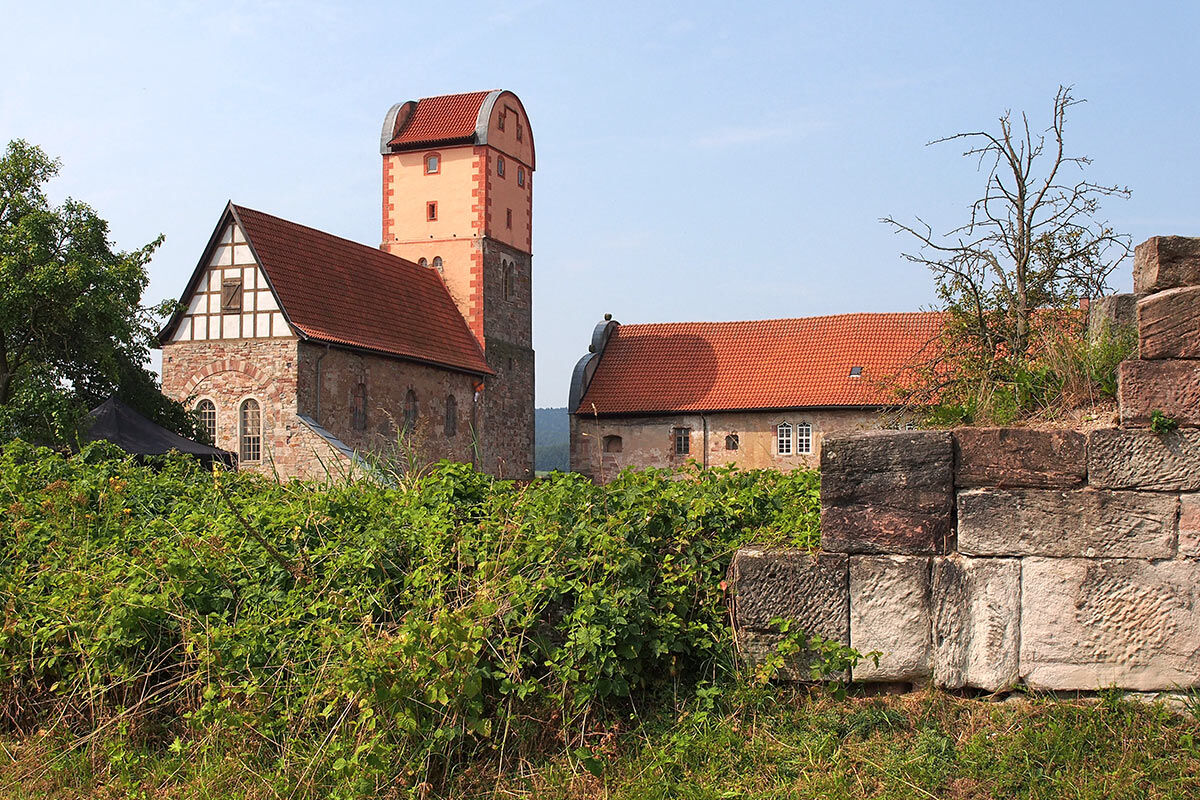

Dreiherrnstein – Lower Beerberg – Rennwegskopf – Kleefleck – Judenkopf – Eichigt – Hohe Klinge – Dorngehege – Goldborn – Bairodaer Landwehr – Steinstraße (Wirtshof) – Hauptstraße – 1,000-year-old linden – Hauptstraße – At Breitungen Rennweg – Wolfsberg farm – Kleine Wolfskuppe – Saarkopf – Klausberg – Vogelsberg – Hühngarten – Werra bridge Breitungen
Da
Sturdy footwear
Rainwear
First aid kit
GPS navigation device or smartphone
Be aware of the typical dangers of the forest! Hiking is at your own risk! Avoid stepping on moss-covered stones and rocks due to slipping hazards and watch out for dead wood, branches, and fallen trees.
From northern and northwestern Germany: On the respective highways to the A4 Eisenach towards Erfurt, then take the Friedewald/Bad Salzungen exit and follow the B62 as well as the signs to Bad Liebenstein.
From eastern and southeastern Germany: On the respective highways to the A4 Erfurt towards Eisenach, then take the Waltershausen exit and follow the signs to Bad Liebenstein.
From southern and southwestern Germany: On the respective highways to Würzburg, continue on the new A71 towards Erfurt, then take the Meiningen-Nord/Bad Salzungen exit and follow the B19 as well as the signs to Bad Liebenstein.
You can reach Bad Liebenstein with the German railway. The nearest ICE station is located about 30 kilometers away in Eisenach. A regional train station is about 11 kilometers away in Bad Salzungen. From both towns, bus line 190 runs directly to Bad Liebenstein.
The nearest parking lot is located at the Esplanade (Google NAV point). Further information about parking options in Bad Liebenstein can be found here.
T2
The 1,100-year-old linden tree in Bairoda marks the boundary between two domains, which historically was indicated by the adjacent inn.
Pridobite vpogled
Vedno v živo na mestu z več kot 9.500 spletnimi kamerami. bergfex Kot uporabnik Pro si lahko zdaj ogledate ustrezne spletne kamere za številne izlete v aplikaciji izleti iz. Tako si lahko neposredno ogledate trenutne razmere.
Priljubljeni izleti v okolici
-
4.5
Summit and panoramic route - Route 1 - Bad Tabarz
srednjaPohodništvo 10.9 km -
3.8
Wanderung zum Spitterfall
srednjaPohodništvo 14.6 km -
Tabarzer Vulkansteig
srednjaPohodništvo 9.91 km -
4.8
Inselsberg tour - Tour 2 - Bad Tabarz
težkoPohodništvo 15.1 km -
4.4
Circular hiking trail - "Trusetal Landmark Route" - Thuringian Forest
svetlobaPohodništvo 4.02 km -
3.2
Von Friedrichroda zum großen Inselsberg
srednjaPohodništvo 22.4 km -
3.5
Backofenloch circular route - route 6 - Bad Tabarz
srednjaPohodništvo 6.94 km -
4.0
Circular route - Tanzbuche - Friedrichroda - Thuringian Forest
srednjaPohodništvo 10.2 km -
4.0
Circular route - Spießberghaus - Friedrichroda - Thuringian Forest
srednjaPohodništvo 10.7 km -
5.0
Circular hiking trail - "Around the Inselberg" - Brotterode - Thuringian Forest
srednjaPohodništvo 13.5 km
Pohodništvo in sledenje


Ne zamudite ponudb in navdiha za naslednje počitnice
Vaš e-poštni naslov je bil dodan na poštni seznam.





