






Circular route - Above the Roofs - Schmalkalden - Thuringian Forest

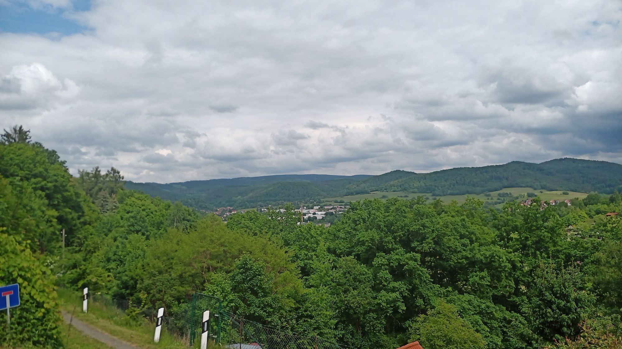
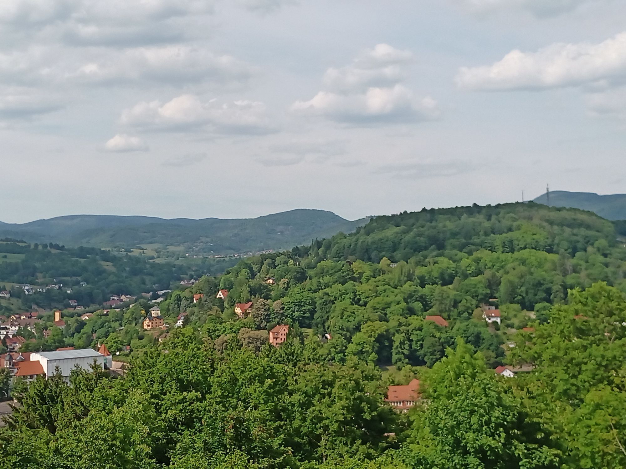
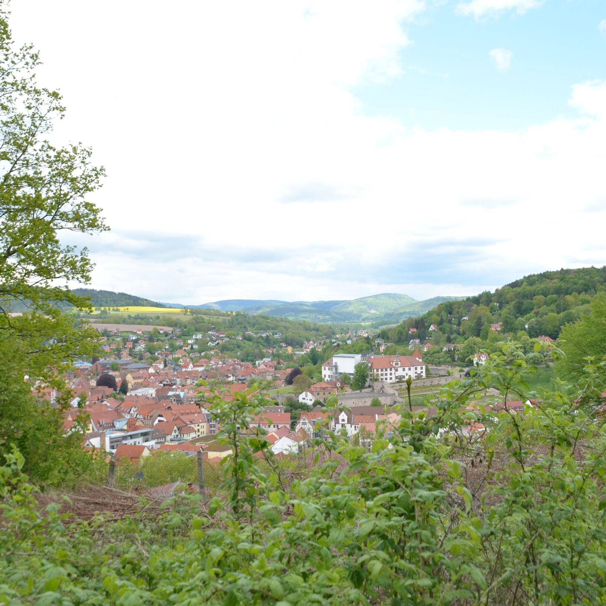
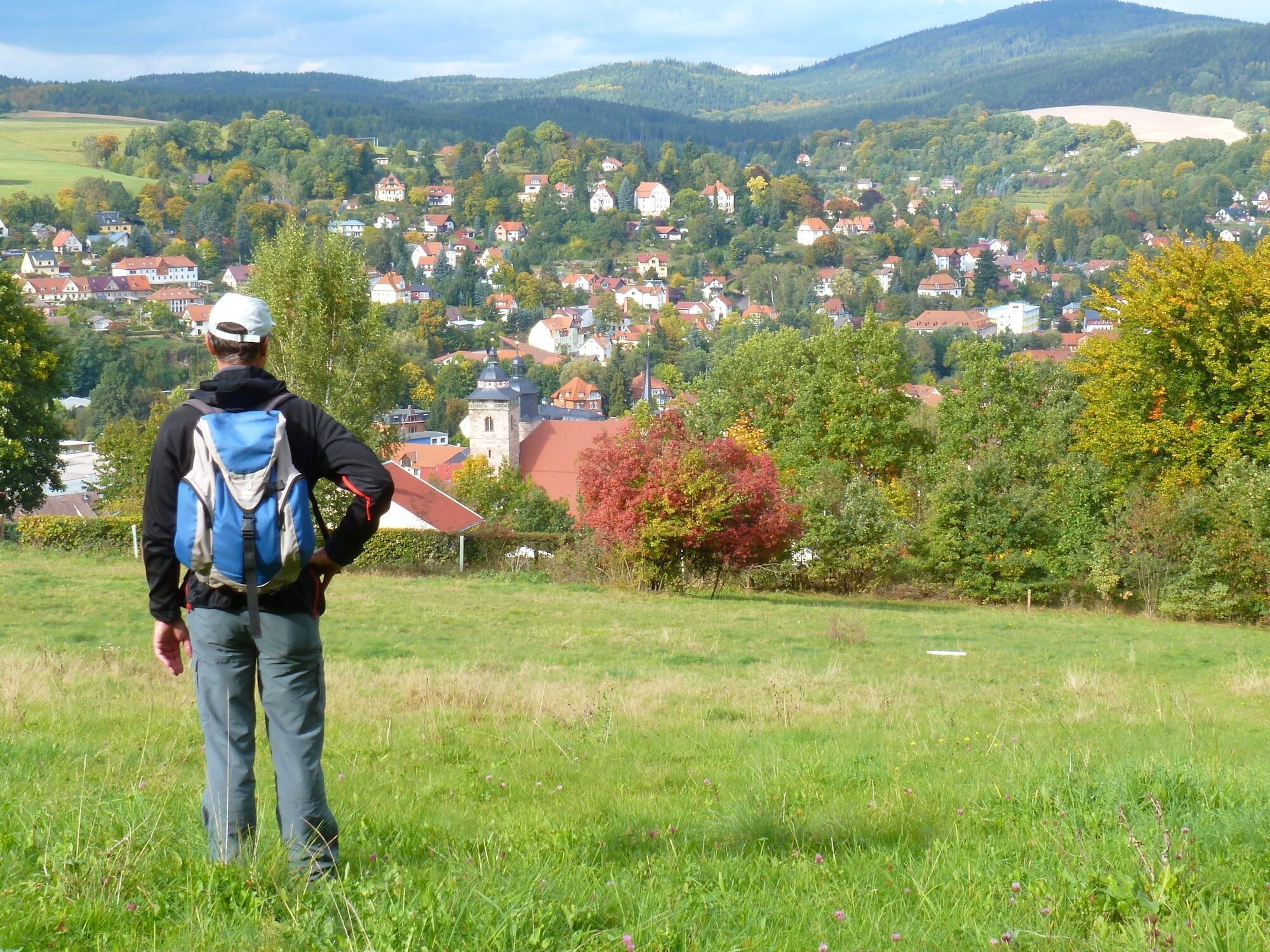
The name "Above the Roofs of Schmalkalden" lives up to its promise: many great views into the Schmalkalde valley, over the old town with its half-timbered houses, the impressive town church, and Wilhelmsburg...
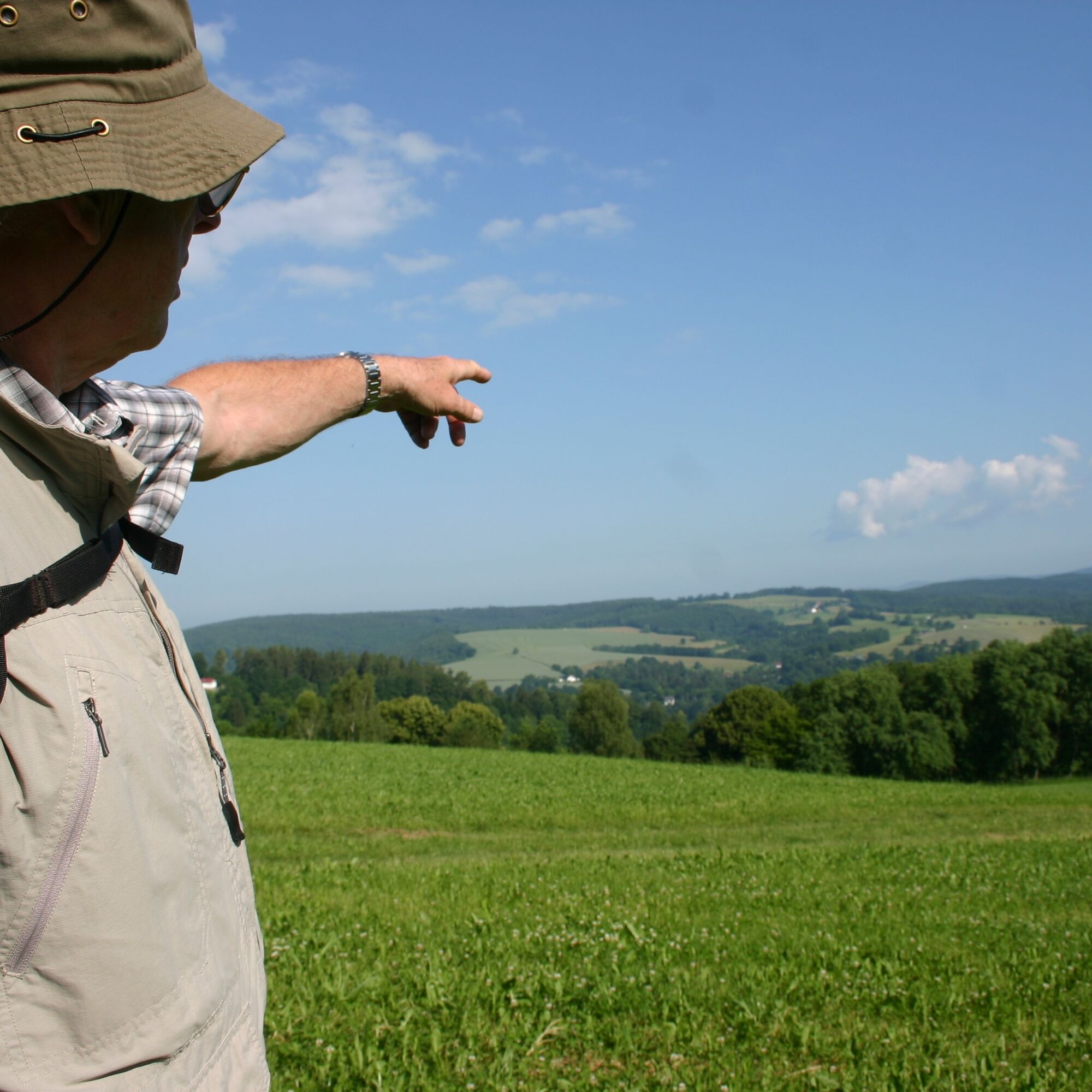
The name "Above the Roofs of Schmalkalden" lives up to its promise: many great views into the Schmalkalde valley, over the old town with its half-timbered houses, the impressive town church, and Wilhelmsburg Castle. Ahead lie Schmalkalden's local mountain Queste and the Asbach Mountains. In the distance, the ranges of the Thuringian Forest greet you.
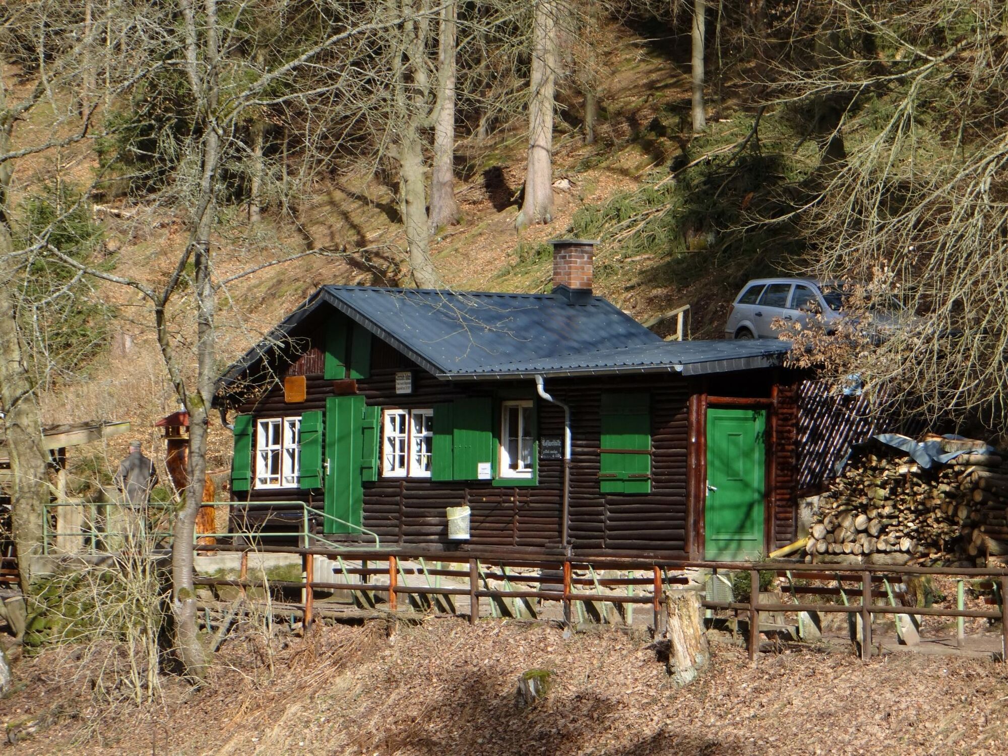
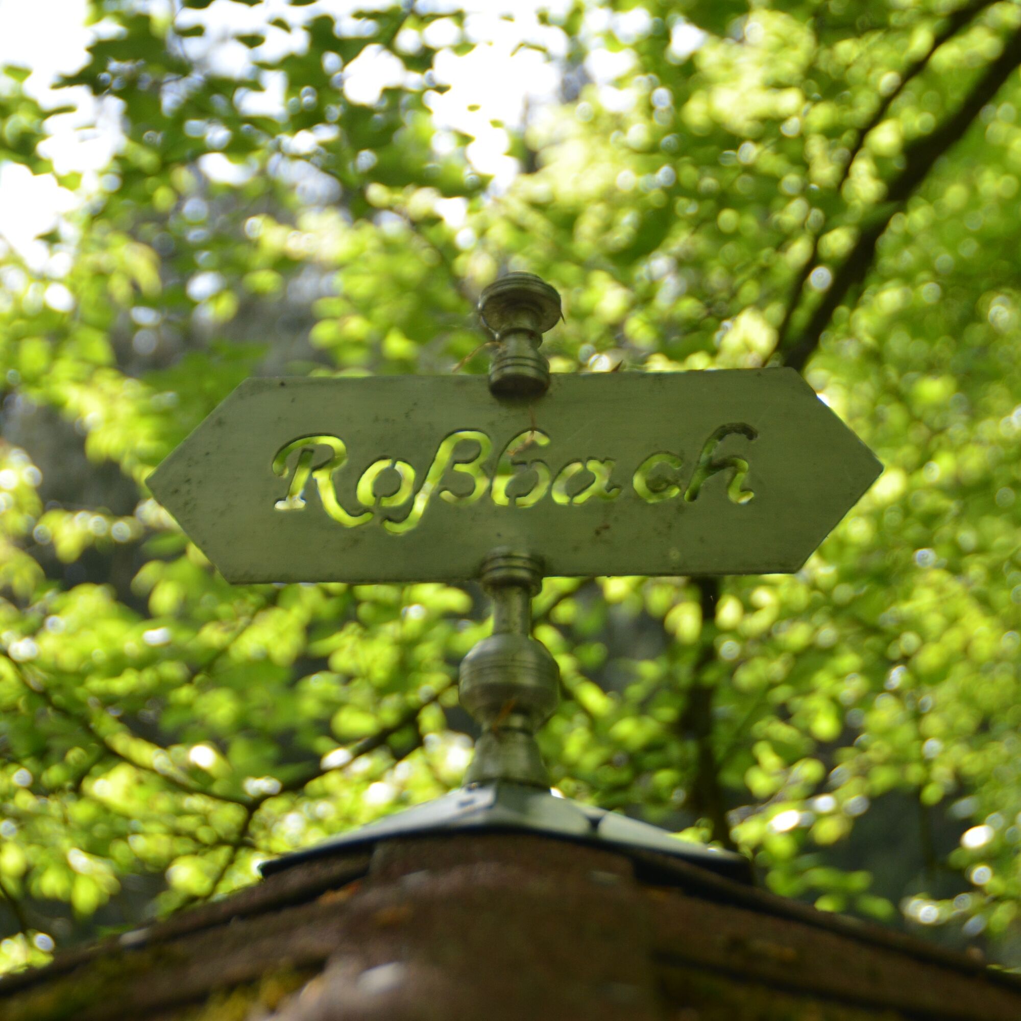
Along the hiking route are excursion destinations long favored by Schmalkalden residents over generations: Henneberger Haus (now Aktiv & Vital Hotel), Roßbach, and Volksgarten. There are several idyllic places to stop along the way, offering hearty Thuringian cuisine.





Car park at the castle – Grasberg (1.6 km) – Aktiv & Vital Hotel (3.2 km) – Roßbach (4.6 km) – Wolfsberg, clubhouse of the dog sport club (5.5 km) – Volksgarten (6.7 km) – Altmarkt (7.4 km) – car park (8 km).
- sturdy footwear
- rainwear
- first aid kit
- GPS navigation device or smartphone
The route mainly runs over easy-to-walk field and forest paths with some asphalted or paved sections within the town area.
In Schmalkalden, follow the inner-city parking guidance system to the car park at the castle, Renthofstraße.
Take the South Thuringia Railway and get off at Hochschule Schmalkalden station, then walk along Näherstiller Straße/Stiller Tor to Renthofstraße/car park at the castle.
By bus to the Renthofstraße stop.
Kothersgasse car park
Car park at the castle (2 hours free parking)
The hiking trail is maintained by the Rhönklub branch Verein Schmalkalden e.V.
Refreshments:
Notstraße 33
98574 Schmalkalden
Roßbach hut: voluntarily managed on Saturdays from 2:00 pm to 6:00 pm
Clubhouse of the dog sport club at Wolfsberg: voluntarily managed Saturdays from 2:00 pm to 8:00 pm, Sundays from 9:00 am to 6:00 pm
There is a shortcut option without Roßbach. Then the total length is only 7.2 km.
Tourist Information Schmalkalden
Auer Gasse 6-8
98574 Schmalkalden
Phone: +49 (0)3683 6676500
The hiking trail can also be combined from the start point with circular route 7 "Museum route" (14.5 km) or circular route 8 "Through Kleinsteinbach" (7.3 km) on request.

Priljubljeni izleti v okolici
- 4.4
Circular hike "Old Tambach Dam", Tambach-D., Thuringian Forest
srednjaPohodništvo 8.33 km - 3.8
Wanderung zum Spitterfall
srednjaPohodništvo 14.6 km - 4.0
Circular hiking route "Oberschönauer Felsenwanderung" - Steinbach-Hallenberg - Thuringian Forest
težkoPohodništvo 12.0 km - 4.5
Circular hiking route - EXTRATOUR - The Meininger
srednjaPohodništvo 10.8 km - 4.4
Circular hiking trail - "Trusetal Landmark Route" - Thuringian Forest
svetlobaPohodništvo 4.02 km - 4.0
Circular route - Spießberghaus - Friedrichroda - Thuringian Forest
srednjaPohodništvo 10.7 km - 5.0
„Kanada“ Tour - Highlight Tour gespickt mit Sehenswürdigkeiten und spektakulären Views inkl. 2 Talsperren und höchstem Kletterfelsen Thüringens.
srednjaPohodništvo 16 km - 4.5
Legend hiking trail to Ruppberg - Zella-Mehlis - Thuringian Forest
srednjaTematska pot 1.34 km Circular hike - "Around the Ebertswiese" - Floh-Seligenthal - Thuringian Forest
svetlobaPohodništvo 12.0 km- 4.0
Hike - Rennsteig - Stage 3 - From Ebertswiese to Grenzadler
srednjaPohodništvo 17.4 km
Pohodništvo in sledenje


Ne zamudite ponudb in navdiha za naslednje počitnice
Vaš e-poštni naslov je bil dodan na poštni seznam.





