







Circular hike - To Barigauer Tower - Hiking start Unterweißbach
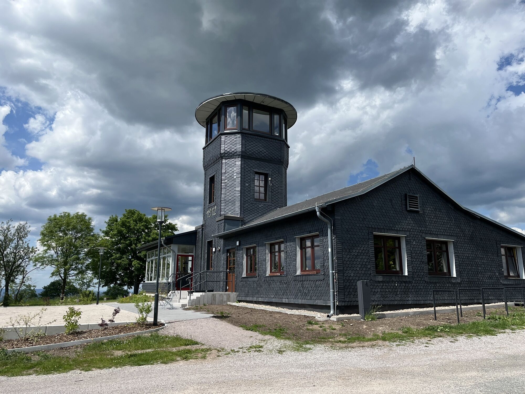
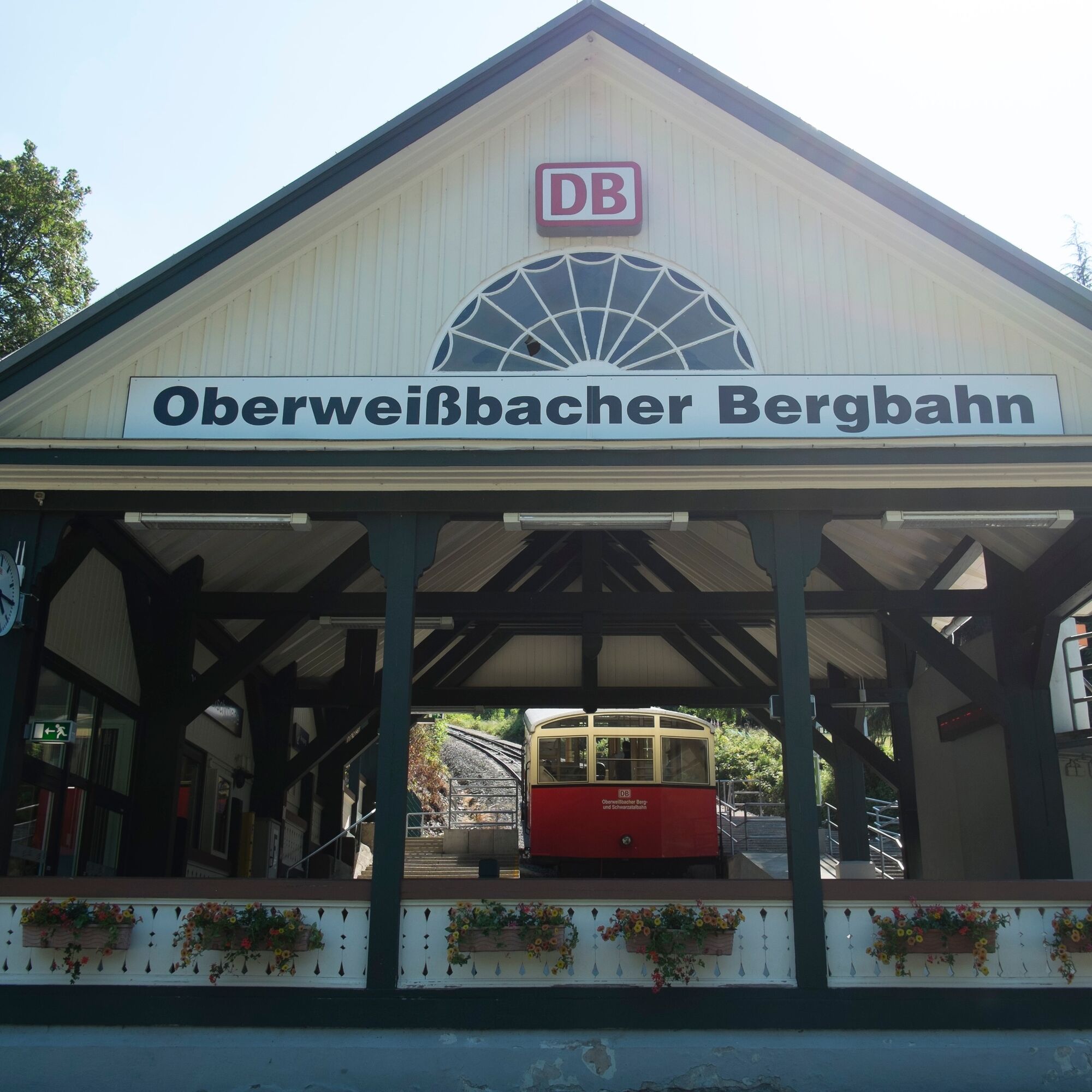
Worth seeing and experiencing: Trout breeding on the Schwarza, 1000-year-old lime tree in Mankenbach, A.O. Siegmund liqueur production & distillery, Barigauer Tower with magnificent views, valley station...
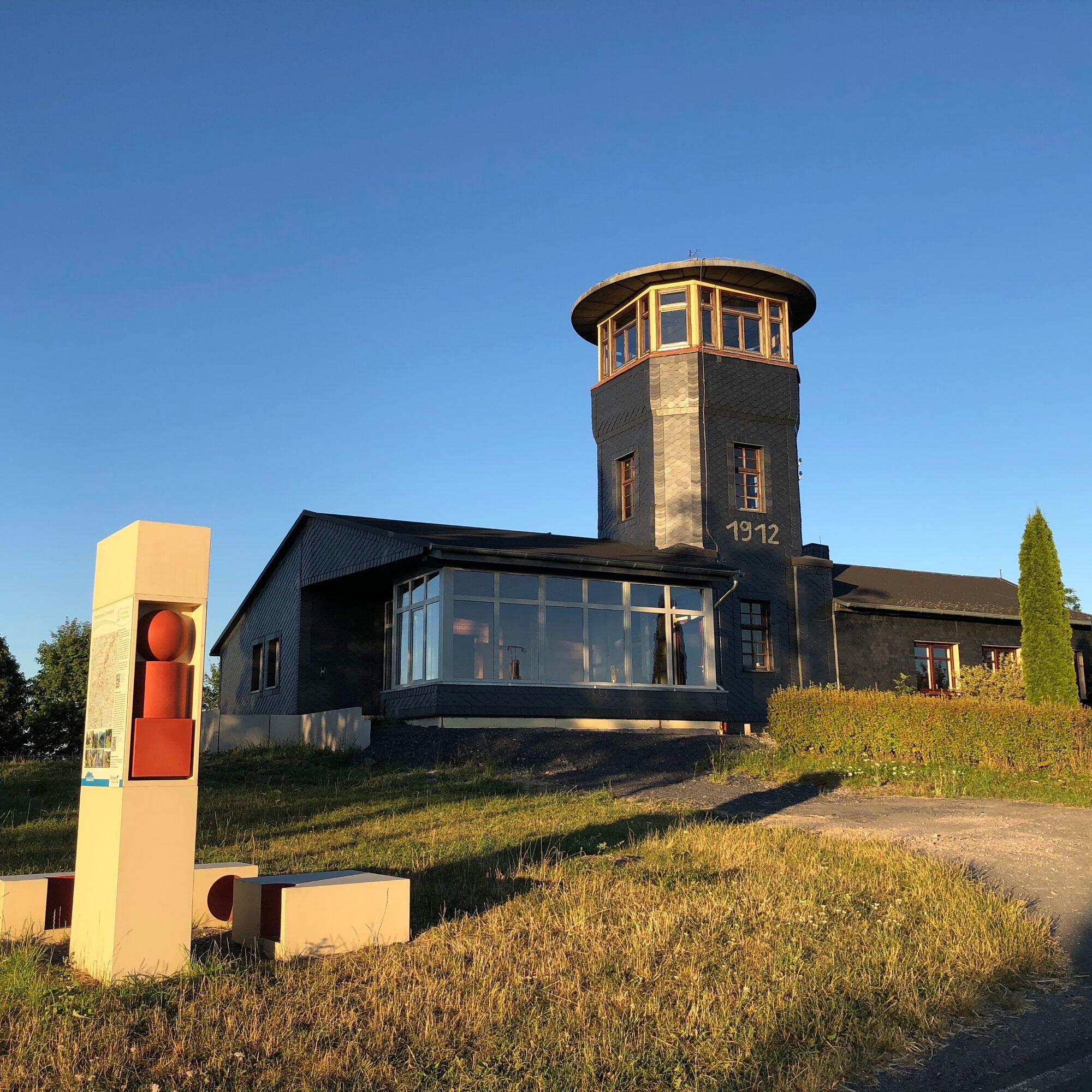
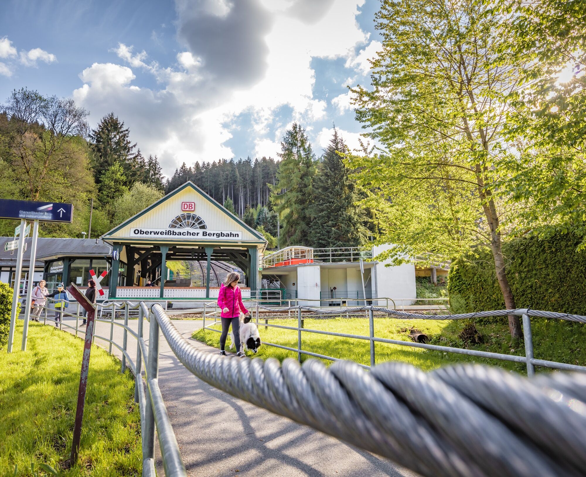
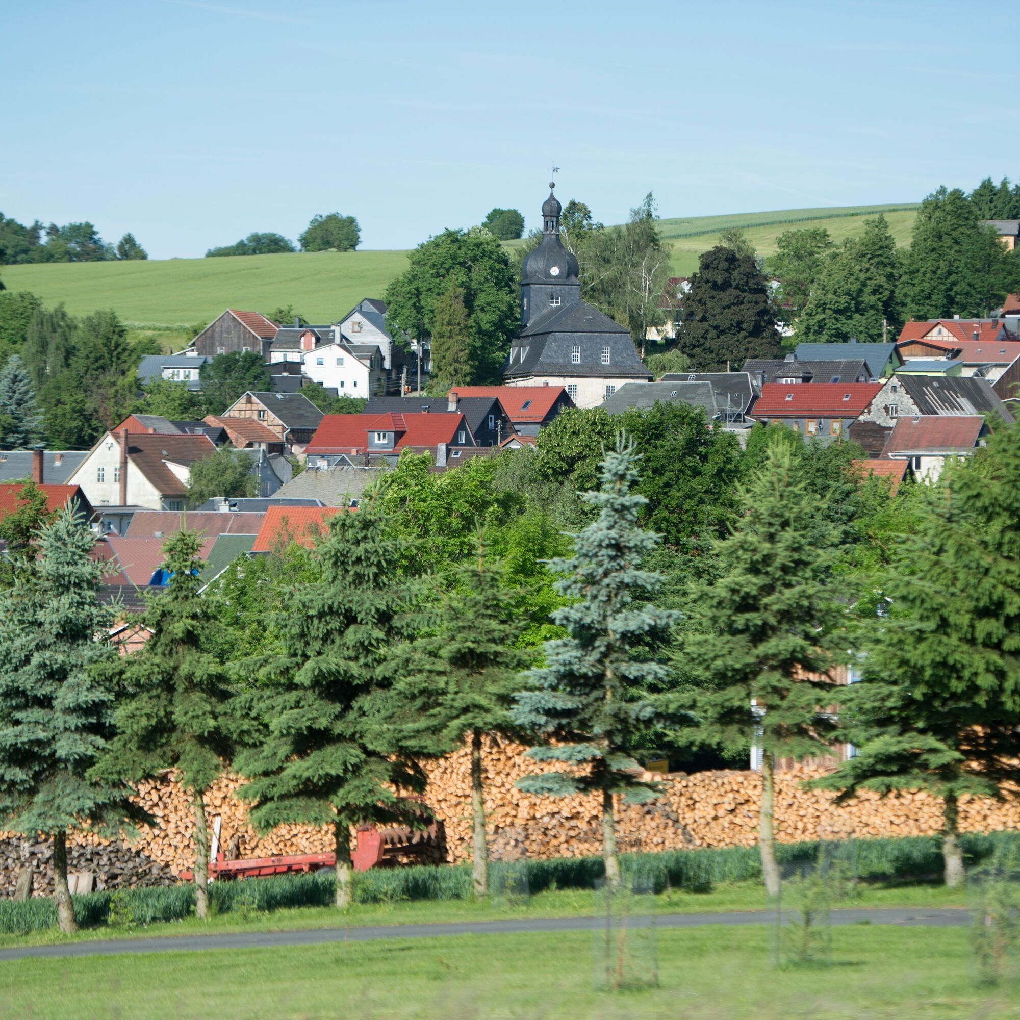
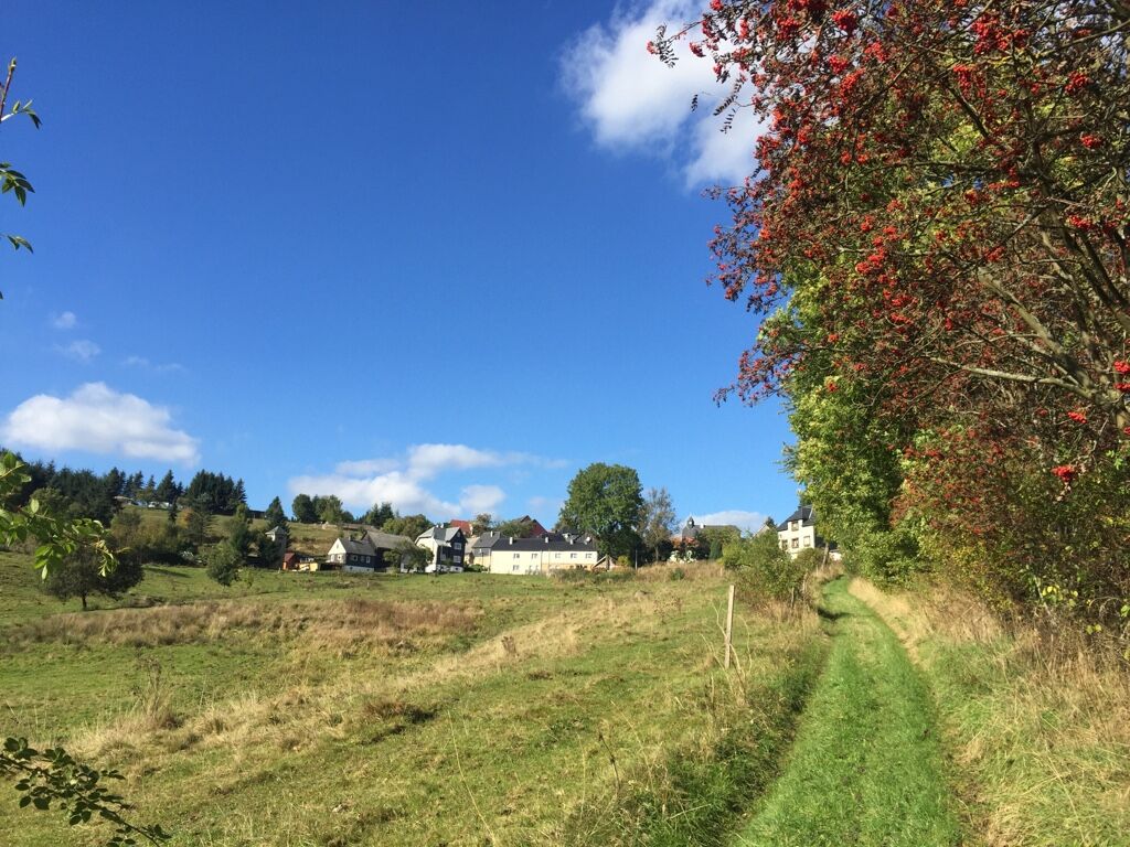
Worth seeing and experiencing: Trout breeding on the Schwarza, 1000-year-old lime tree in Mankenbach, A.O. Siegmund liqueur production & distillery, Barigauer Tower with magnificent views, valley station of the Oberweißbach mountain railway (Obstfelderschmiede) – all this awaits you on this varied hike in beautiful Schwarzatal.
Note on the digital hiking stamp:
On this hiking trail you can collect digital stamps for your personal hiking certificate. At the marked stamp points, scan the QR code with your smartphone, add the location to your stamp account via the generated link and receive further information. You can also receive your personal hiking certificate without a smartphone. Instructions can be found on the QR code signs.

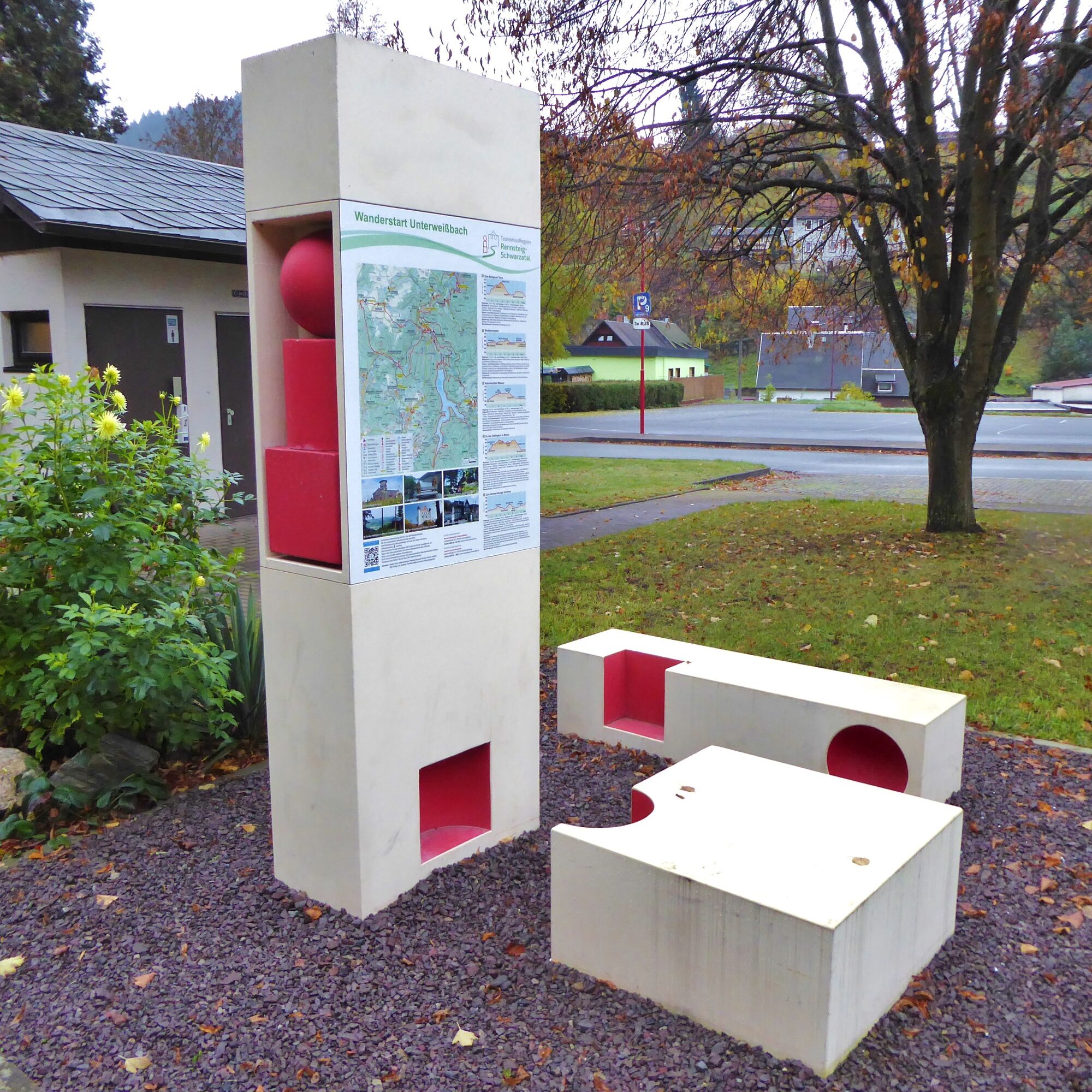
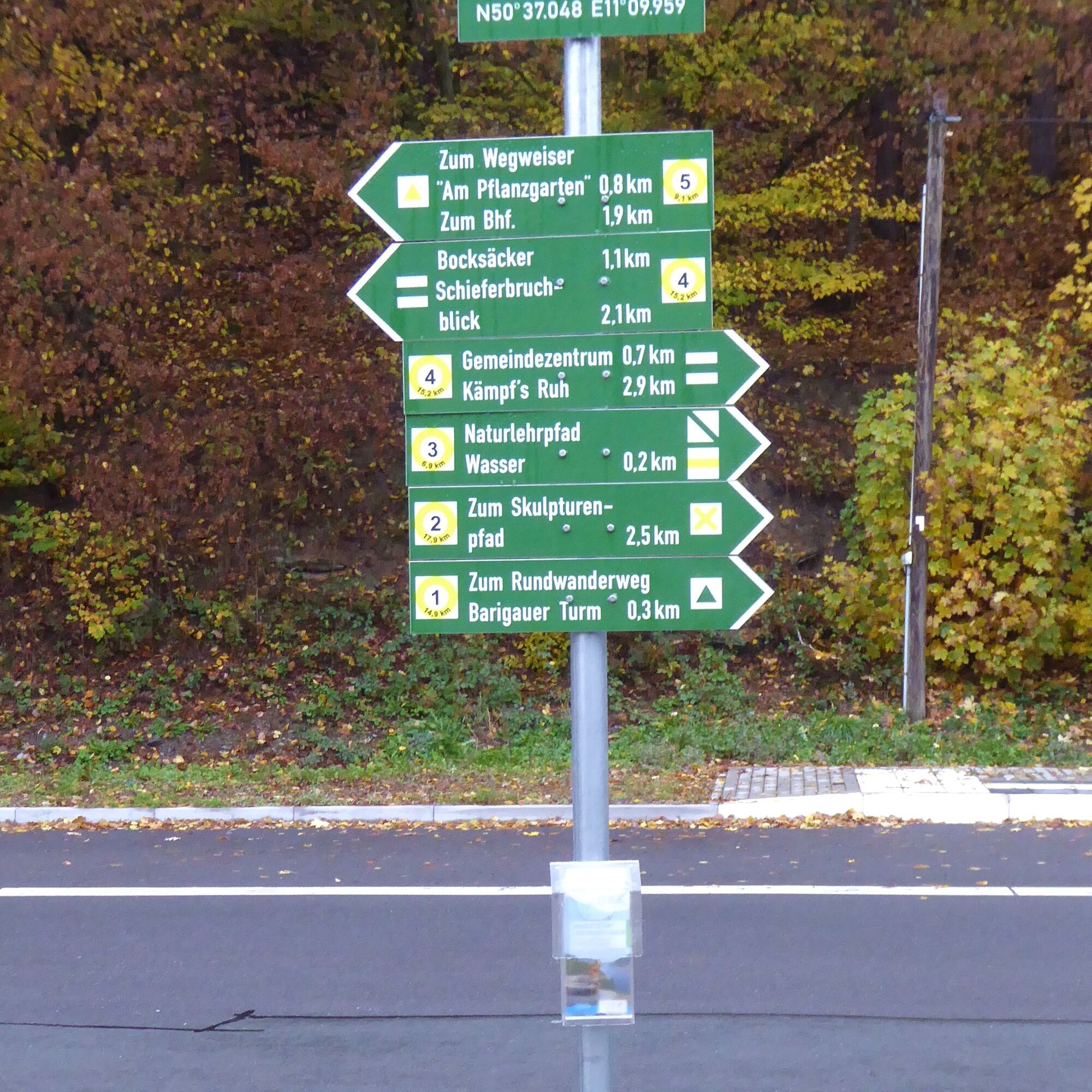

Route:
Hiking start Unterweißbach – Mankenbachsmühle – Neu Leibis – Mankenbach – Oberhain – Barigauer Tower – Barigau – Mellenbach-Glasbach – Obstfelderschmiede – Potsdamer Platz – Unterweißbach - Hiking start
Marking:
Hiking start to Oberhain = green triangle, Oberhain to Glasbach = red triangle, Glasbach to hiking start = green triangle
Sturdy footwear
Rainwear
First aid kit
GPS device or smartphone
Drinks
Always stay on the designated hiking trails and be aware of typical forest hazards.
Coming from the A71, take exit 15 (Ilmenau-East) and continue on the B88 towards Gehren / Königsee. Follow the federal road until Unterköditz (behind Königsee) and turn right onto the L1113 there. Drive until Schwarzburg (entrance to town) – Hotel Weißer Hirsch and turn sharply right in the hairpin bend onto the L1112 towards Sitzendorf and Unterweißbach. In Sitzendorf, turn left immediately at the train station onto the L1145 towards Unterweißbach.
You can reach the hiking start Unterweißbach by trains of the Schwarzatalbahn (Sitzendorf/Unterweißbach stop) and additionally with the buses of KomBus.
For connection search, simply use the Deutsche Bahn travel portal. Enter "Unterweißbach/parking lot" as your destination.
Parking lot at the hiking start Unterweißbach (Google NAV point)
Local contact:
Community center Unterweißbach "Goldene Lichte"
Lichtetalstraße 38 | 98744 Unterweißbach
Tel. 03 67 30 – 28 143
Central contact:
Tourist and Service Center
(Main entrance Stadthalle)
Bahnhofstr. 23 | 07422 Bad Blankenburg
Tel. 03 67 41 - 26 67
Trout breeding on the Schwarza
1000-year-old lime tree in Mankenbach
A.O. Siegmund liqueur production & distillery
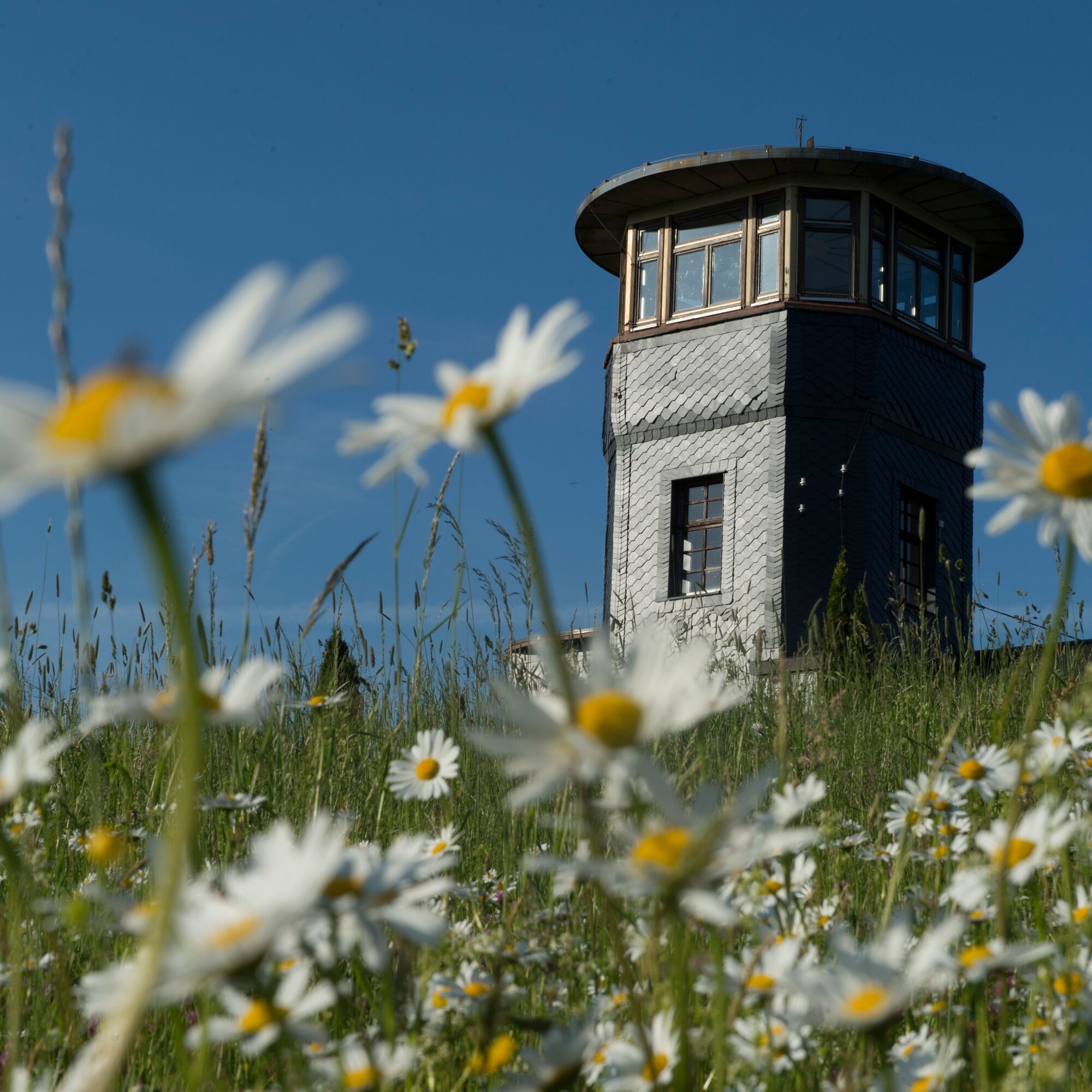
Barigauer Tower with magnificent views
Valley station of the Oberweißbach mountain railway (Obstfelderschmiede)
Pridobite vpogled Vedno v živo na mestu z več kot 9.500 spletnimi kamerami. bergfex Kot uporabnik Pro si lahko zdaj ogledate ustrezne spletne kamere za številne izlete v aplikaciji izleti iz. Tako si lahko neposredno ogledate trenutne razmere. Priljubljeni izleti v okolici
- 3.0
Circular hike - "4 ponds hike" Neustadt am Rennsteig - Thuringian Forest
težkoPohodništvo 12.6 km - 4.8
Circular hiking trail - "To the most beautiful viewpoints" - Thuringian Forest
srednjaPohodništvo 12.8 km The Rennsteig - long-distance hiking trail from Hörschel to Blankenstein - Thuringian Forest
težkoPohodništvo v daljavo 169.0 km- 4.5
Circular route - “To the Strudel pots of the Schwarza” - Starting point at the Chrysopras weir - Bad Blankenburg
srednjaPohodništvo 9.01 km Circular hiking trail - "Sculpture Trail" - Hiking start Unterweißbach - Thuringian Forest
srednjaPohodništvo 24.4 kmCircular route - "When Rennsteig meets the Schwarzatal panorama path" - Limbach
srednjaPohodništvo 9.68 kmCircular hike - "Friedrich Fröbel" - Bad Blankenburg
težkoPohodništvo 14.4 km- 5.0
Circular route 5 - Neustadt am Rennsteig - Thuringian Forest
srednjaPohodništvo 8.50 km - 5.0
Meurasteine, Talsperre Leibis-Lichte
srednjaPohodništvo 13.4 km Circular trail - Saugartenpfad - Hiking start at Chrysopraswehr - Bad Blankenburg
srednjaPohodništvo 8.39 km
Pohodništvo in sledenje


Ne zamudite ponudb in navdiha za naslednje počitnice
Vaš e-poštni naslov je bil dodan na poštni seznam.





