







circular route - Spittergrund, Ebertswiese, Bergsee

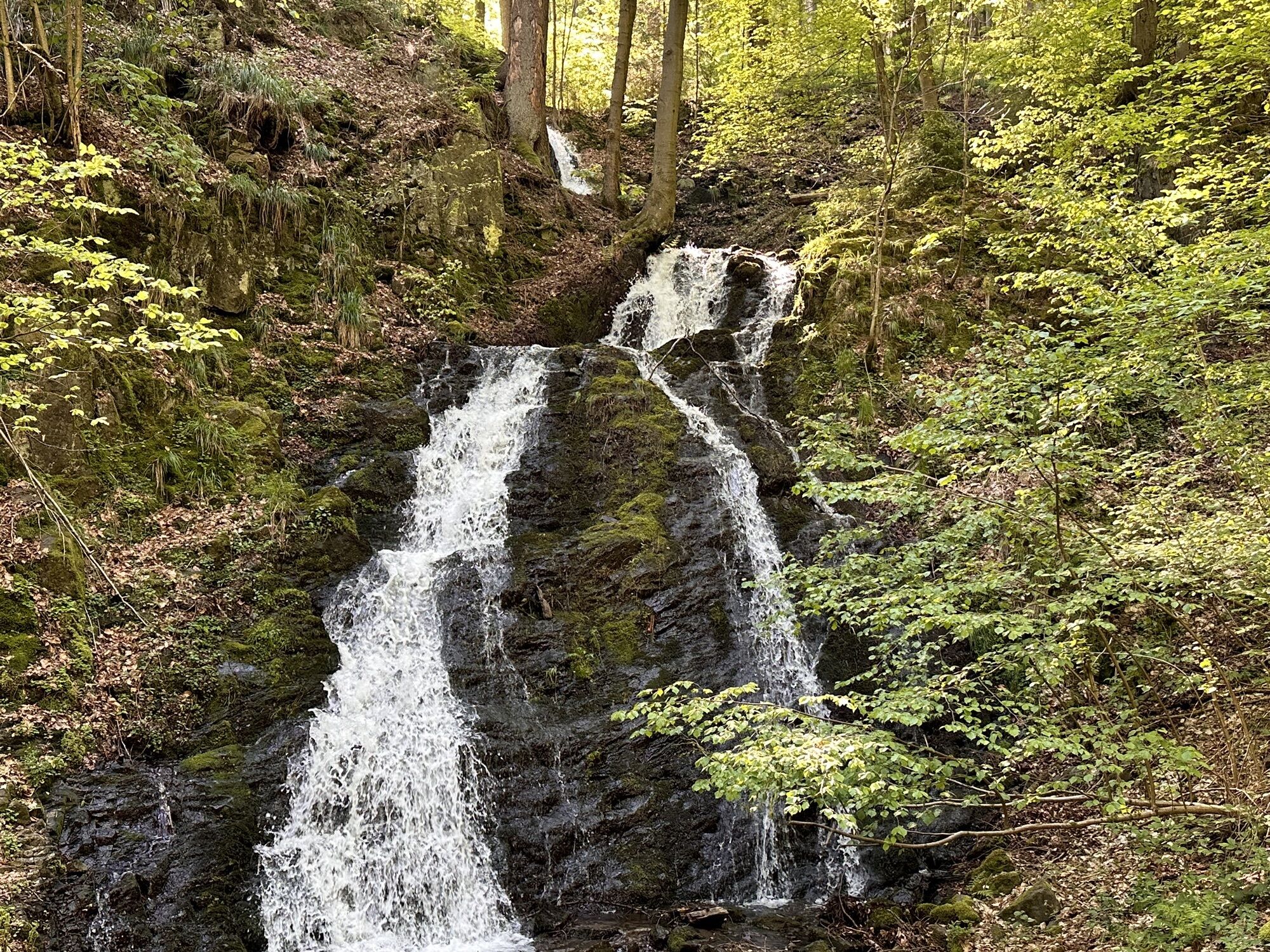
Start and starting point is the Schützenplatz in Schützenstraße (parking available). At the roadside is also the Spitter valley, a nature reserve with its ponds and rock faces and Thuringia's highest natural...
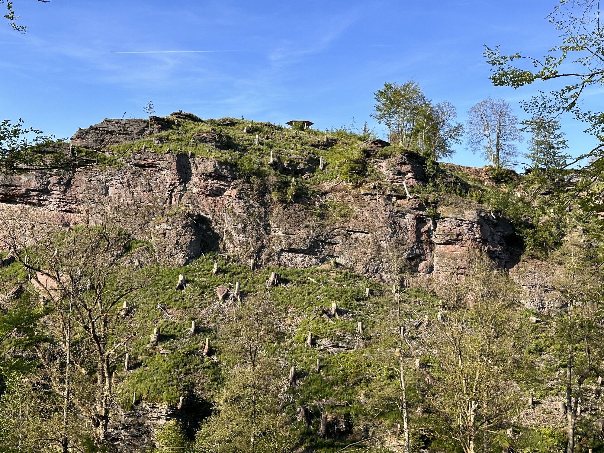
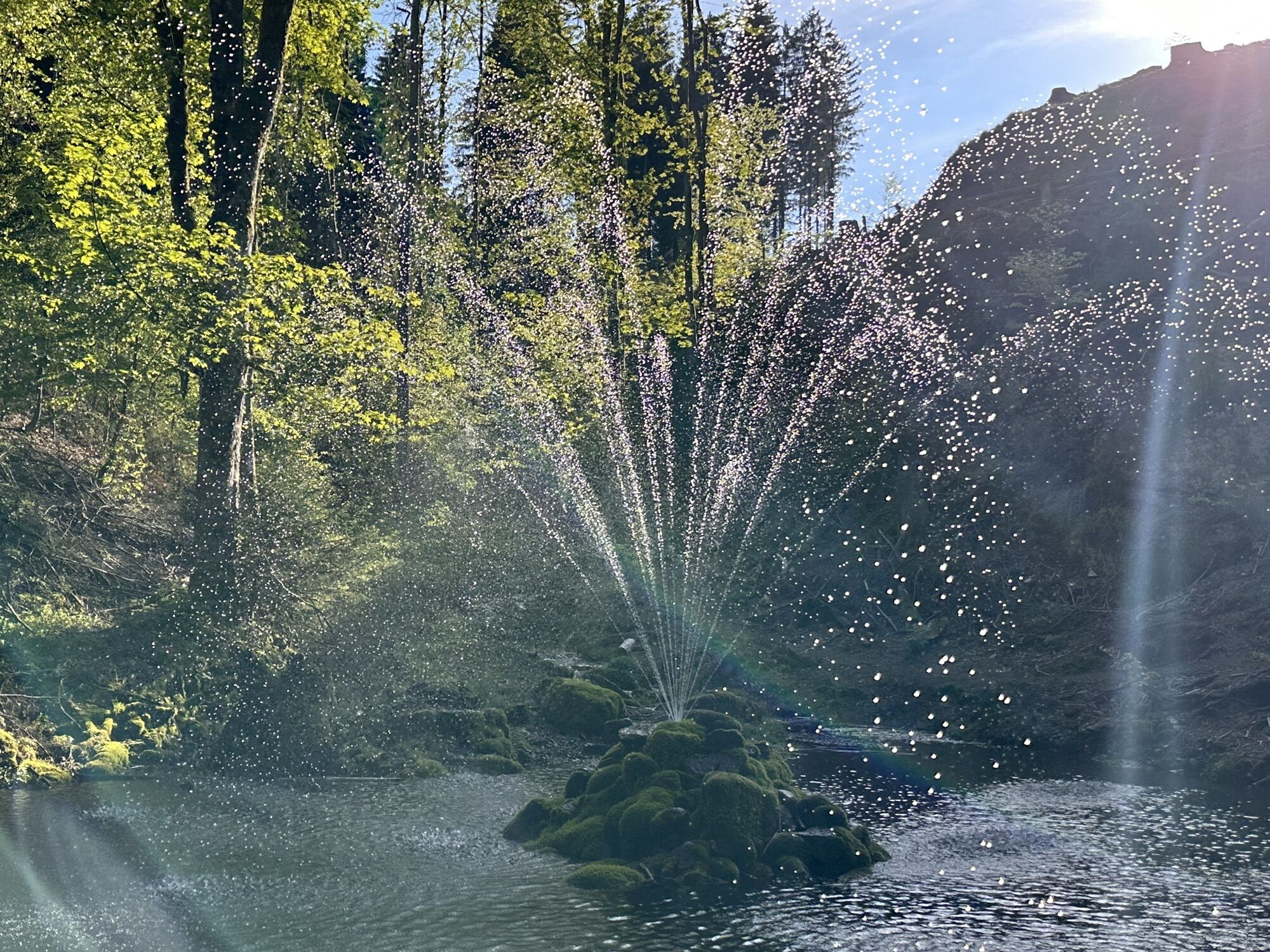
Start and starting point is the Schützenplatz in Schützenstraße (parking available). At the roadside is also the Spitter valley, a nature reserve with its ponds and rock faces and Thuringia's highest natural waterfall (21 m), the Spitterfall.
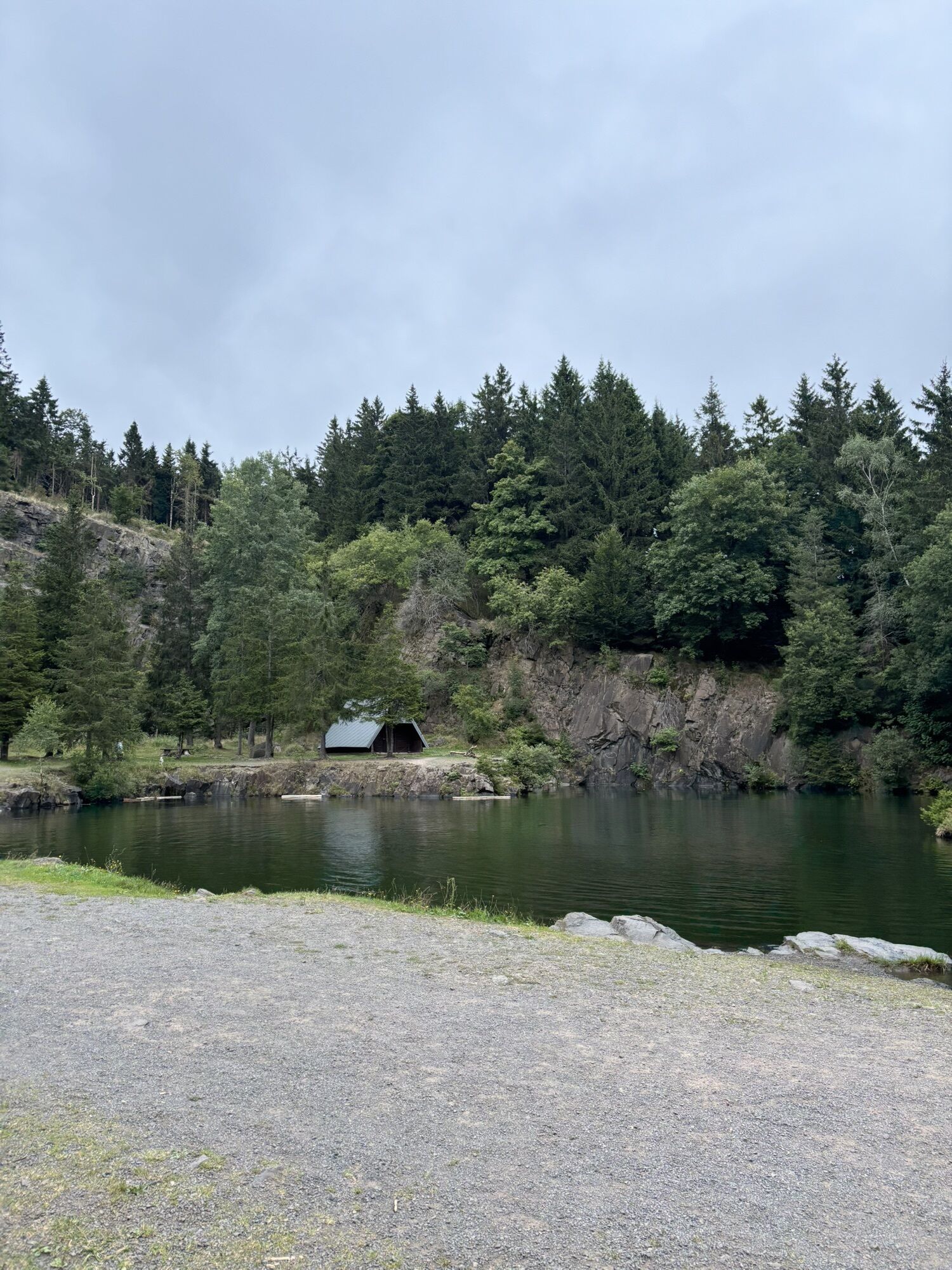
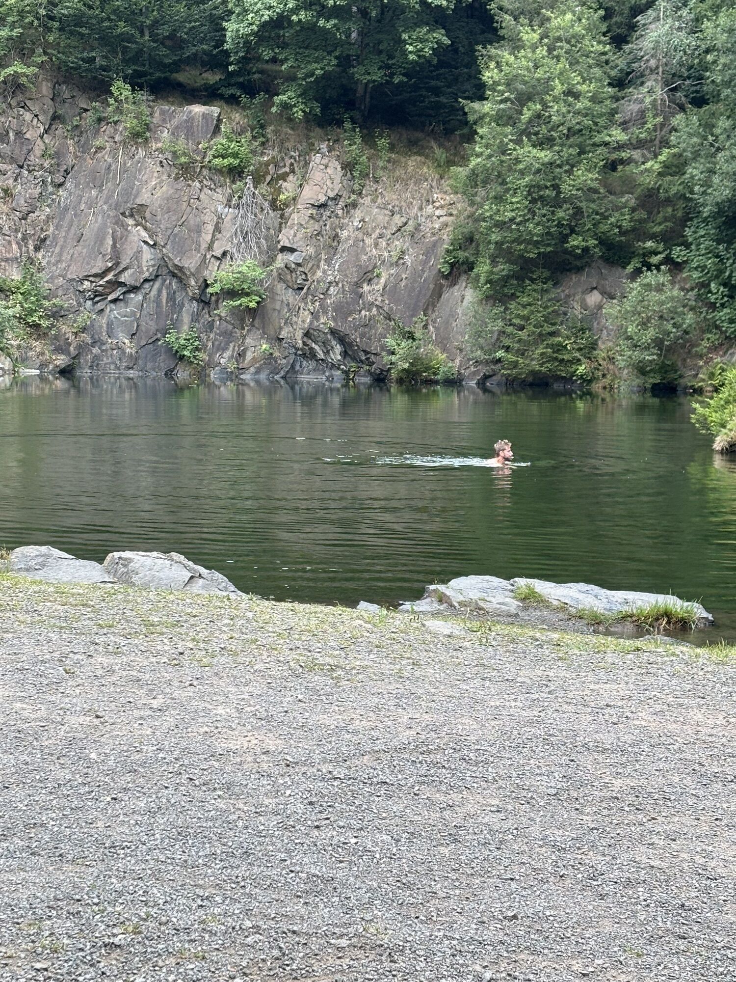
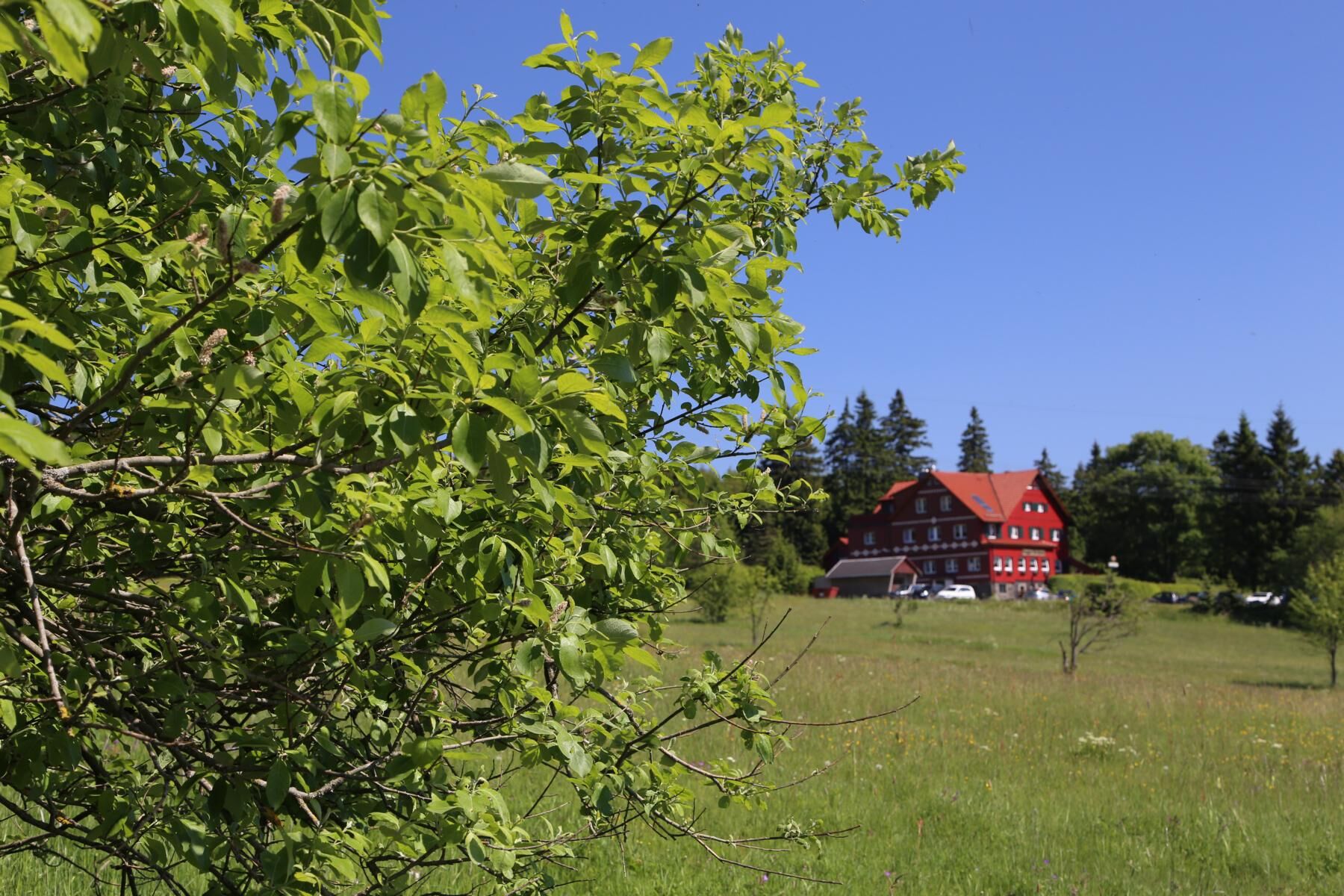
A highlight of the route is the small but fine mountain lake. Located in an old quarry once used to extract diabase, it is the centerpiece in this beautiful natural setting at almost 780 meters altitude. Only swimmers can bathe here because the shore consists of steep rock edges that drop off 6 to 13 meters to the bottom of the lake.
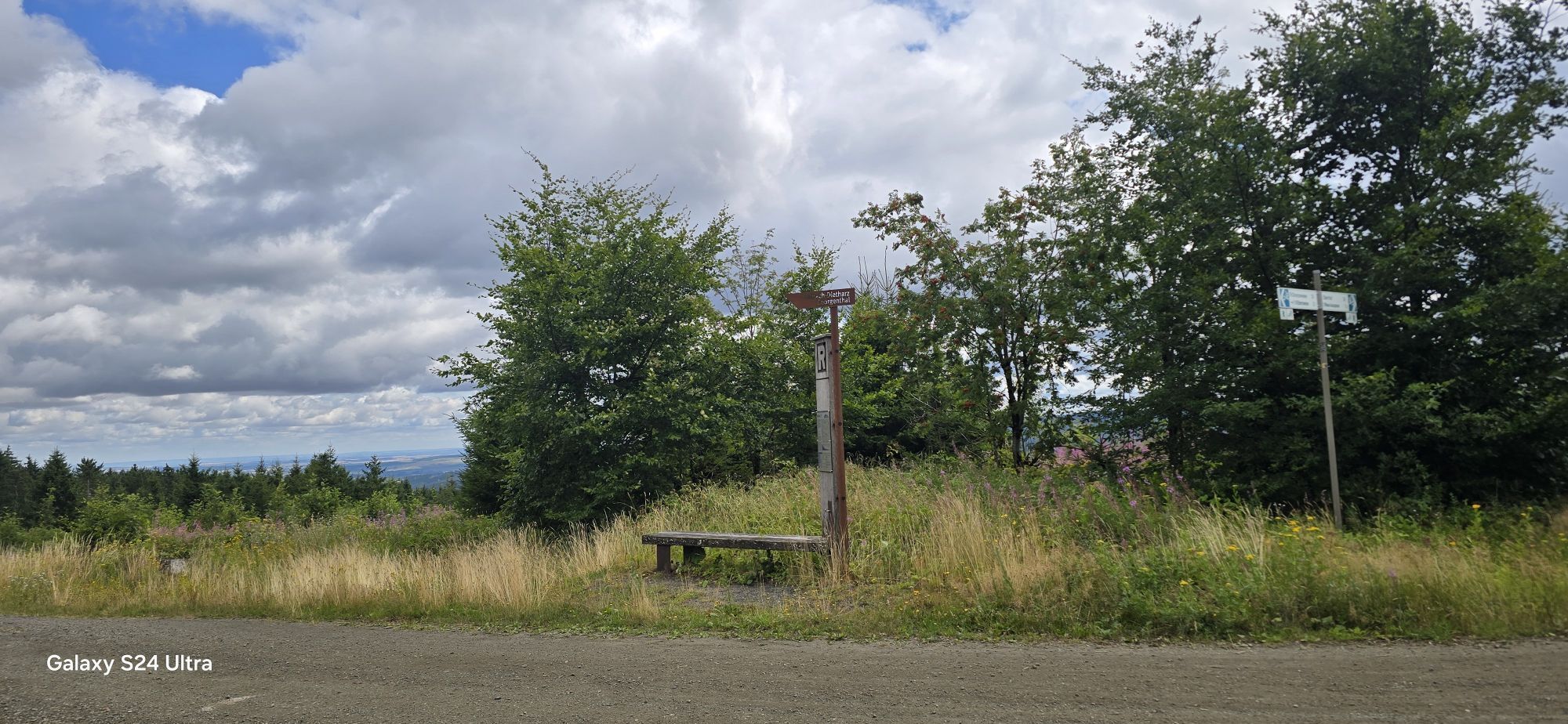
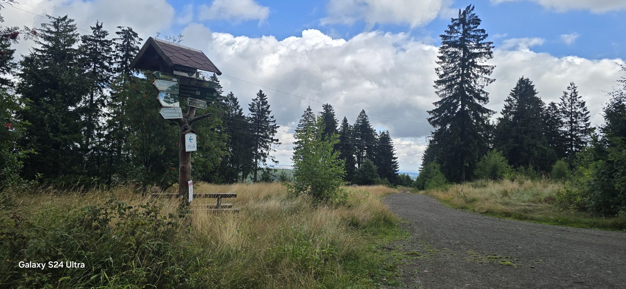
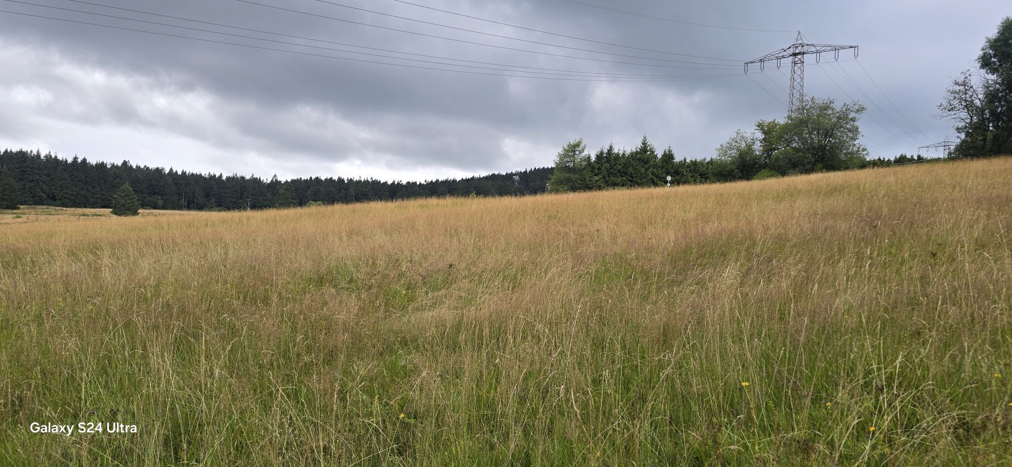
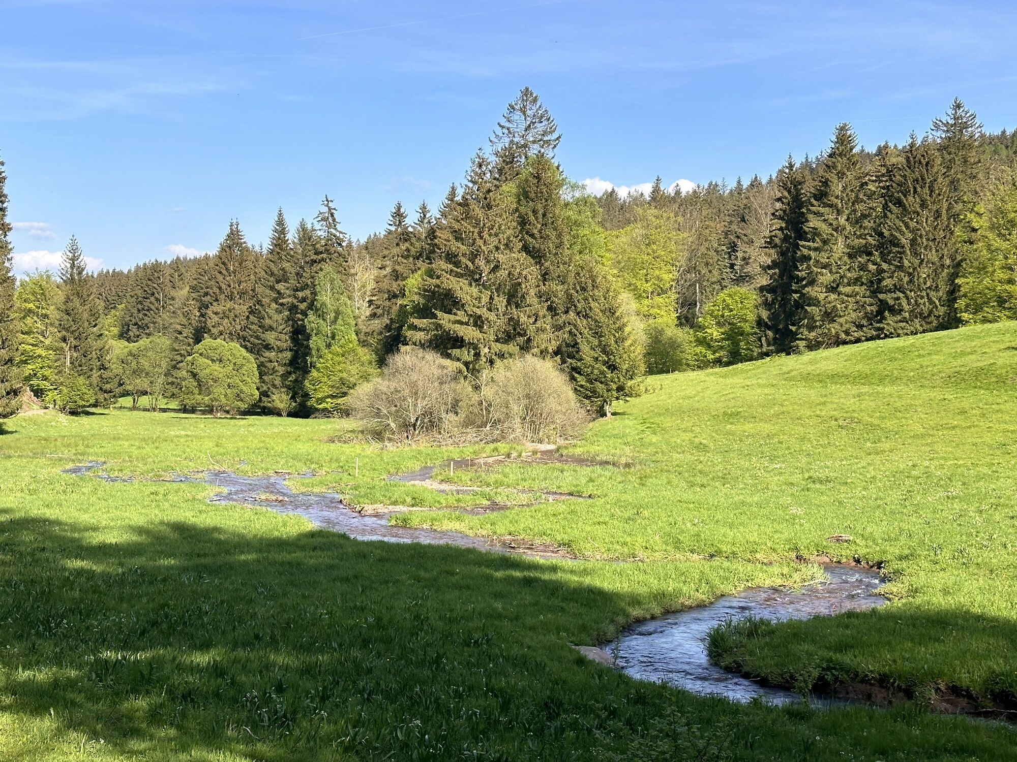
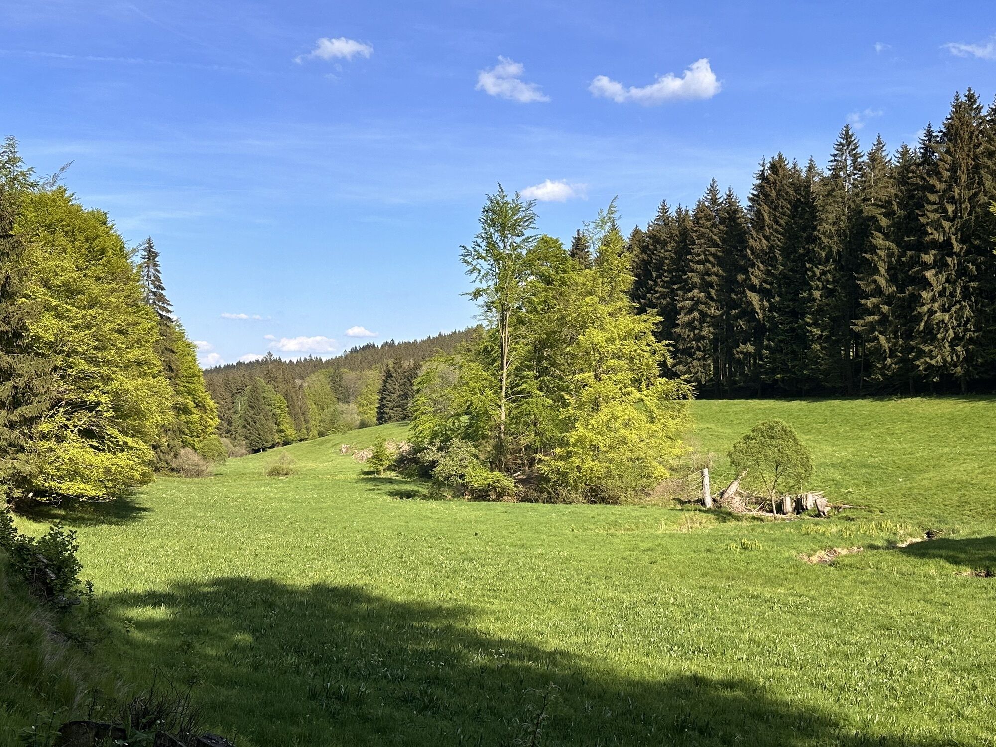
The return route on Thuringia's best-known hiking trail, the Rennsteig, progresses quickly to the "Alte Ausspanne". From there, following the Lutherweg, which from here is also marked as the "Rennsteigleiter", you pass elongated meadows into the Tammichgrund and thus into the village and back to the starting point.

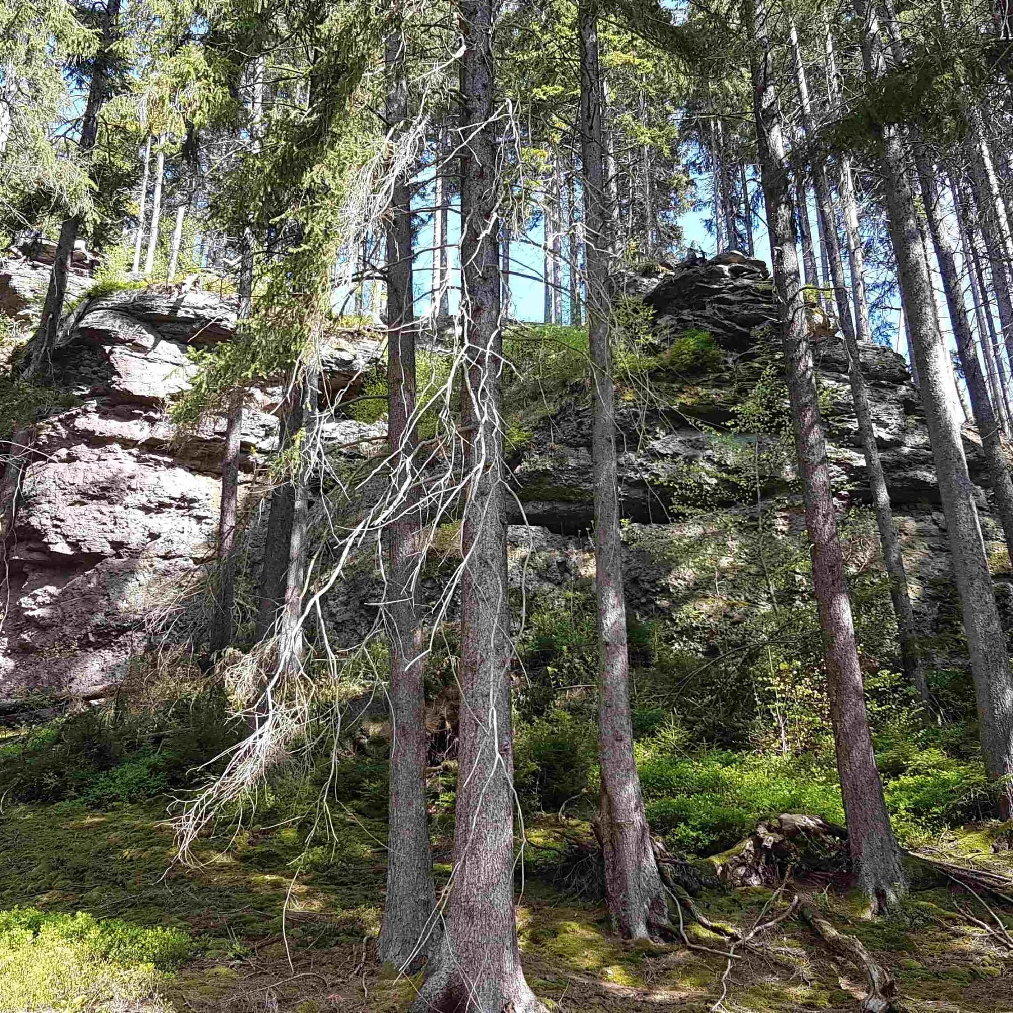
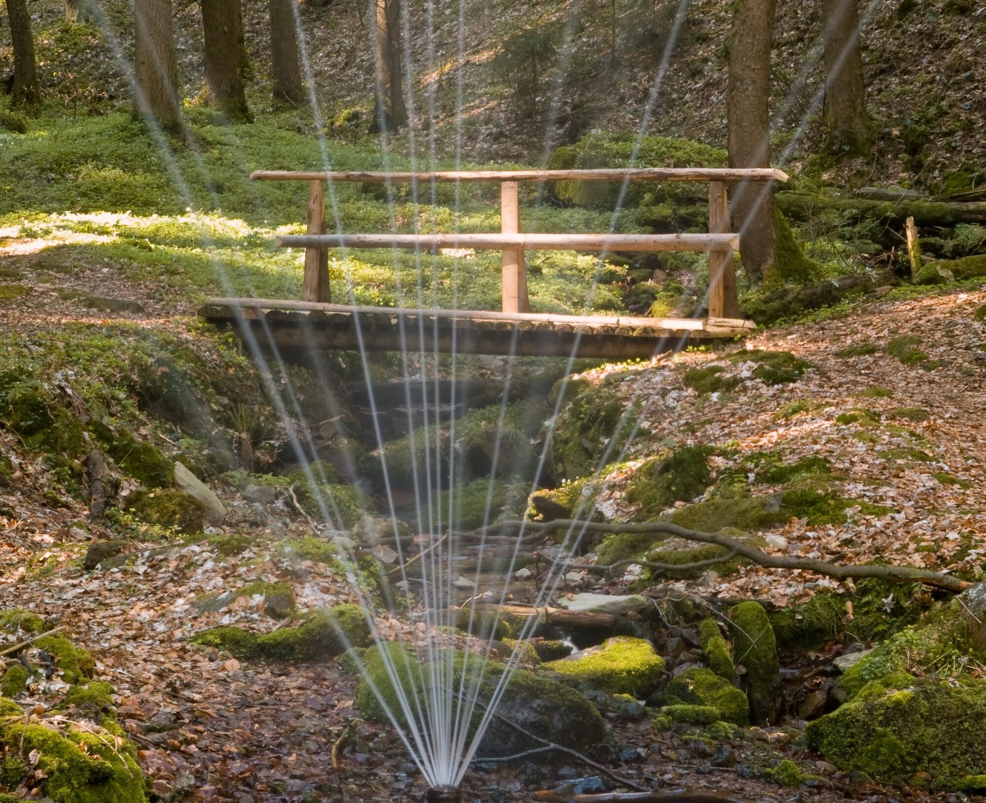
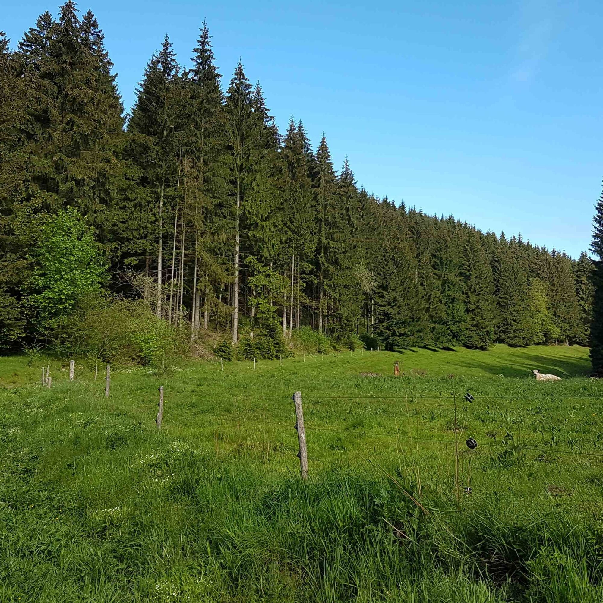




Schützenplatz - (detour Spittertempelchen) NSG Spittergrund - Spitterfall - Rennsteig - (detour Spitterblick) - Ebertswiese - Bergsee - return route Ebertswiese - Rennsteig - Alte Ausspanne (Lutherweg/ Rennsteigleiter) - Rechter Tammichgrund - Lutherbrunnen - Schützenstraße
Da
sturdy footwear
weather-appropriate clothing
first aid kit
possibly trekking poles
provisions
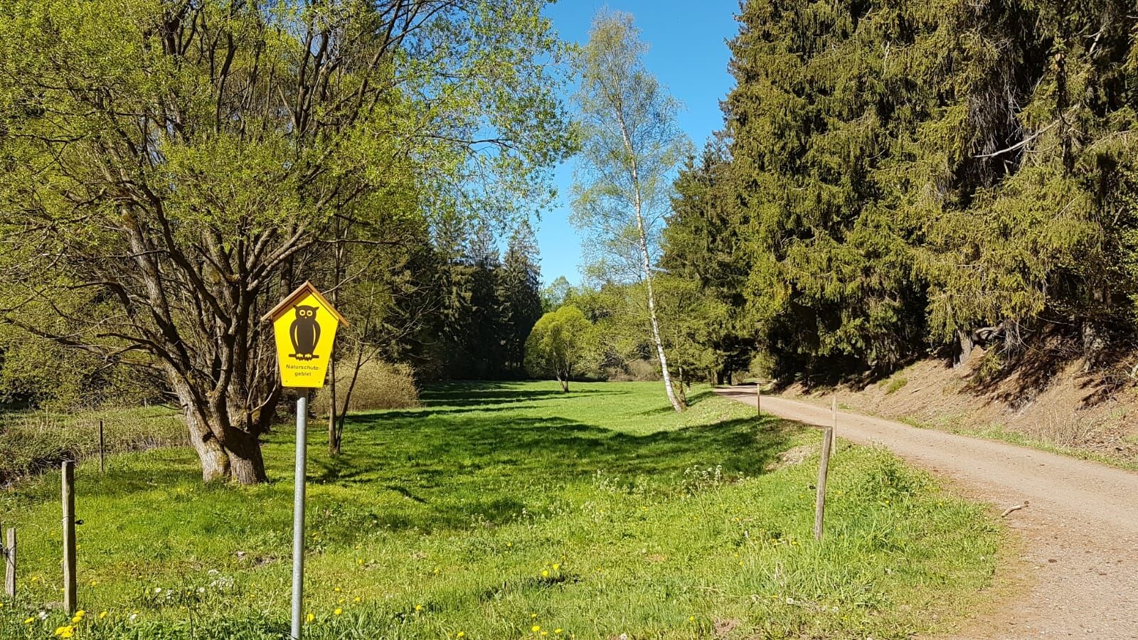
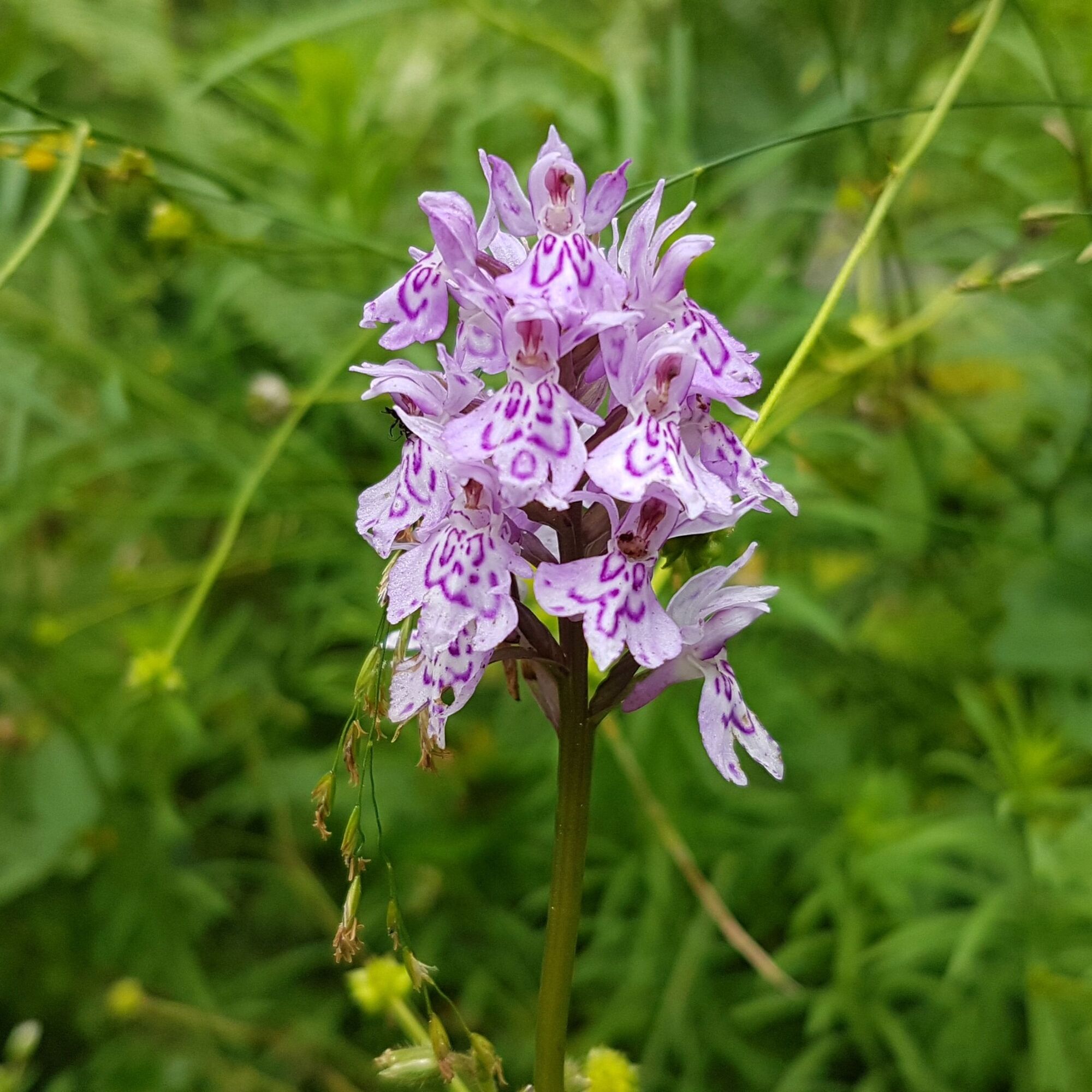
Please behave considerately in the Spittergrund/ Ebertswiese nature reserve to protect flora and fauna.
Do not leave the marked path, do not pick plants and do not leave any rubbish behind.
Follow the instructions of the forestry staff and pay attention to restrictions due to forestry work.
Accessible only for prams with normal/ large wheels up to Spitterfall!
Motorway A4 - exit Gotha, B247 towards Ohrdruf/ Oberhof, turnoff Hohenkirchen, B88 to Georgenthal, here exit Tambach-Dietharz at the Georgenthal junction
Motorway A71 - exit Oberhof and Gräfenroda
Use the travel information of the Deutsche Bahn for planning your trip to Tambach Dietharz via this link:
from the stop Schwemme/ Hauptstraße - Schützenstraße (about 5 min)
Please check the timetables of local transport providers in advance, as weekend shuttle services are limited.
Detour to the viewpoint Spittertempelchen, rest area Schnapsbuche, old slab quarry and rest area at the source Nägelstädter Girn, here you can also find information boards about the surroundings, detour to the viewpoint Spitterblick, viewpoint block hut in the Rechter Tammichgrund, Kneipp wading basin, Lutherbrunnen
Spletne kamere s turneje

Priljubljeni izleti v okolici
- 4.3
Rund um die Ohratalsperre
svetlobaPohodništvo 14.5 km - 4.6
Summit and panoramic route - Route 1 - Bad Tabarz
srednjaPohodništvo 10.9 km - 4.4
Circular hike "Old Tambach Dam", Tambach-D., Thuringian Forest
srednjaPohodništvo 8.33 km - 3.8
Wanderung zum Spitterfall
srednjaPohodništvo 14.6 km - 4.8
Circular hike - Schmalwasser reservoir - Tambach-Dietharz - Thuringian Forest
srednjaPohodništvo 13.8 km - 4.0
Circular hiking route "Oberschönauer Felsenwanderung" - Steinbach-Hallenberg - Thuringian Forest
težkoPohodništvo 12.0 km Tabarzer Vulkansteig
srednjaPohodništvo 9.91 km- 4.4
Circular hiking trail - "Trusetal Landmark Route" - Thuringian Forest
svetlobaPohodništvo 4.02 km - 4.8
Inselsberg tour - Tour 2 - Bad Tabarz
težkoPohodništvo 15.1 km - 4.0
Zu den Schanzen im Kanzlersgrund
srednjaPohodništvo 9.58 km

Pohodništvo in sledenje


Ne zamudite ponudb in navdiha za naslednje počitnice
Vaš e-poštni naslov je bil dodan na poštni seznam.





