


Hiking - from Meiningen (Welkershausen) to Utendorf
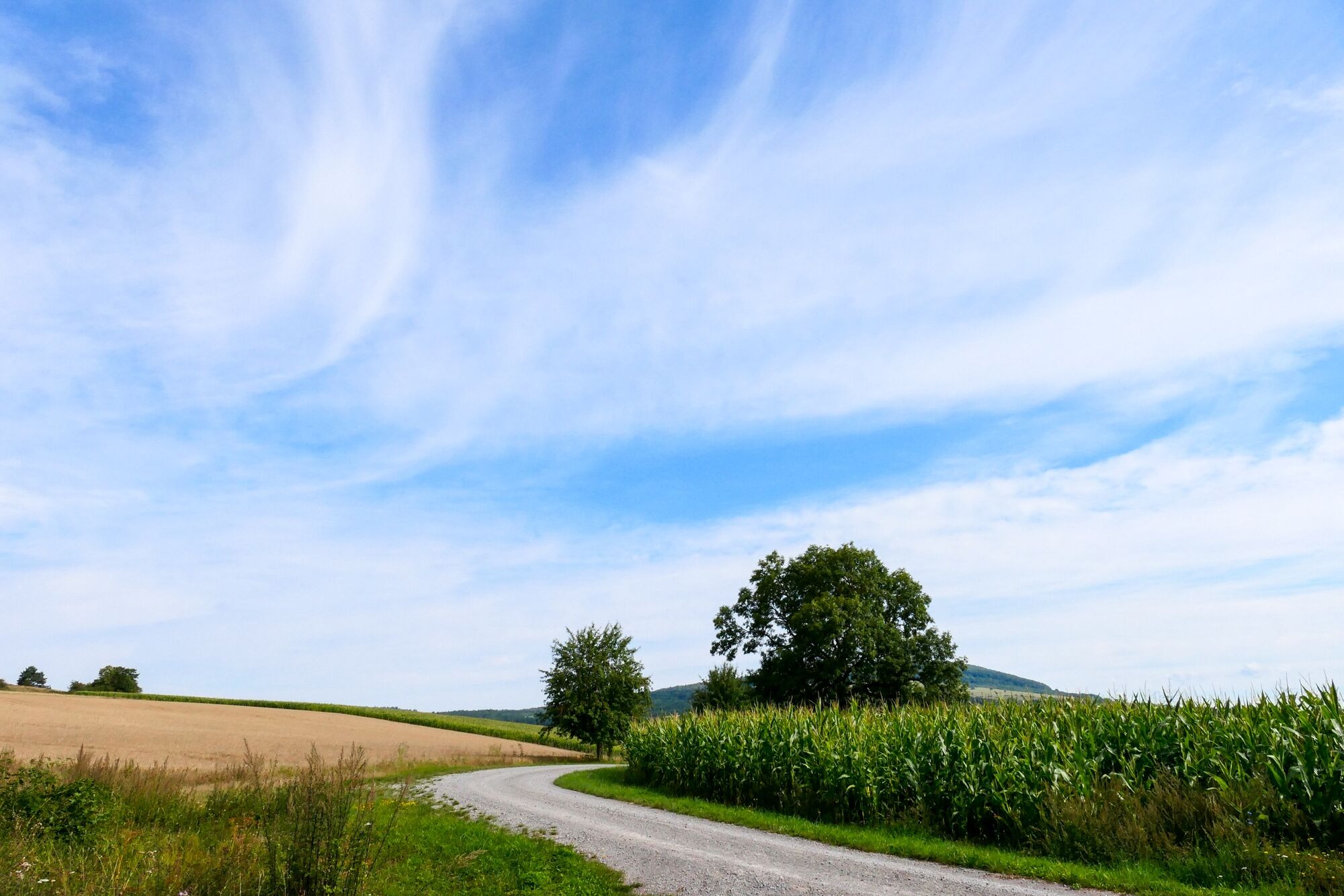
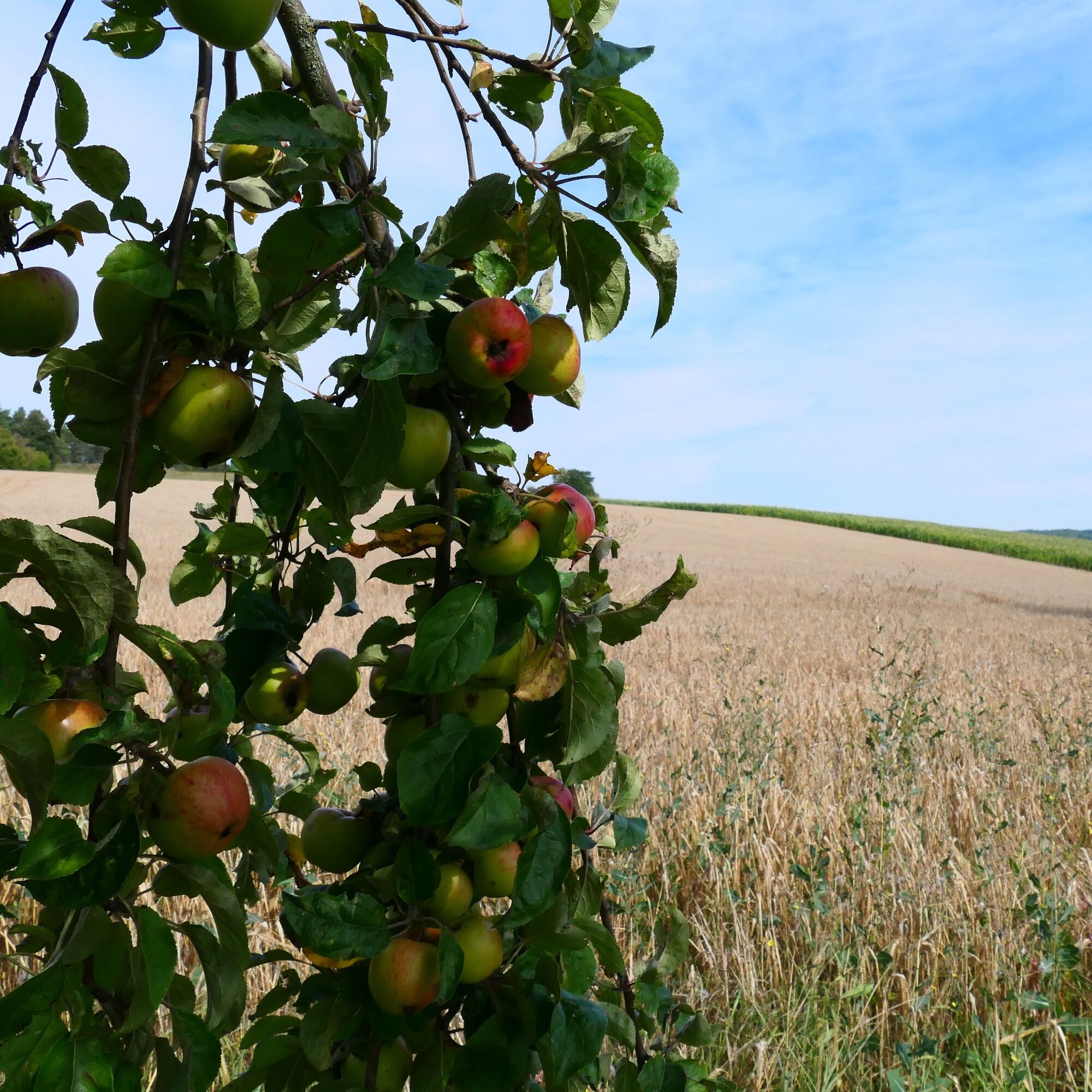
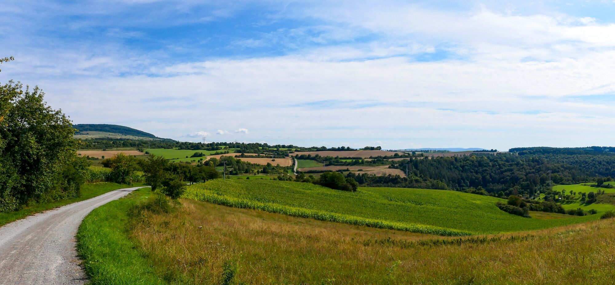
The path begins at the southern village entrance of Welkershausen. From here, follow the path through the village in a northeast direction uphill into the forest. After walking through it, there is a magnificent,...
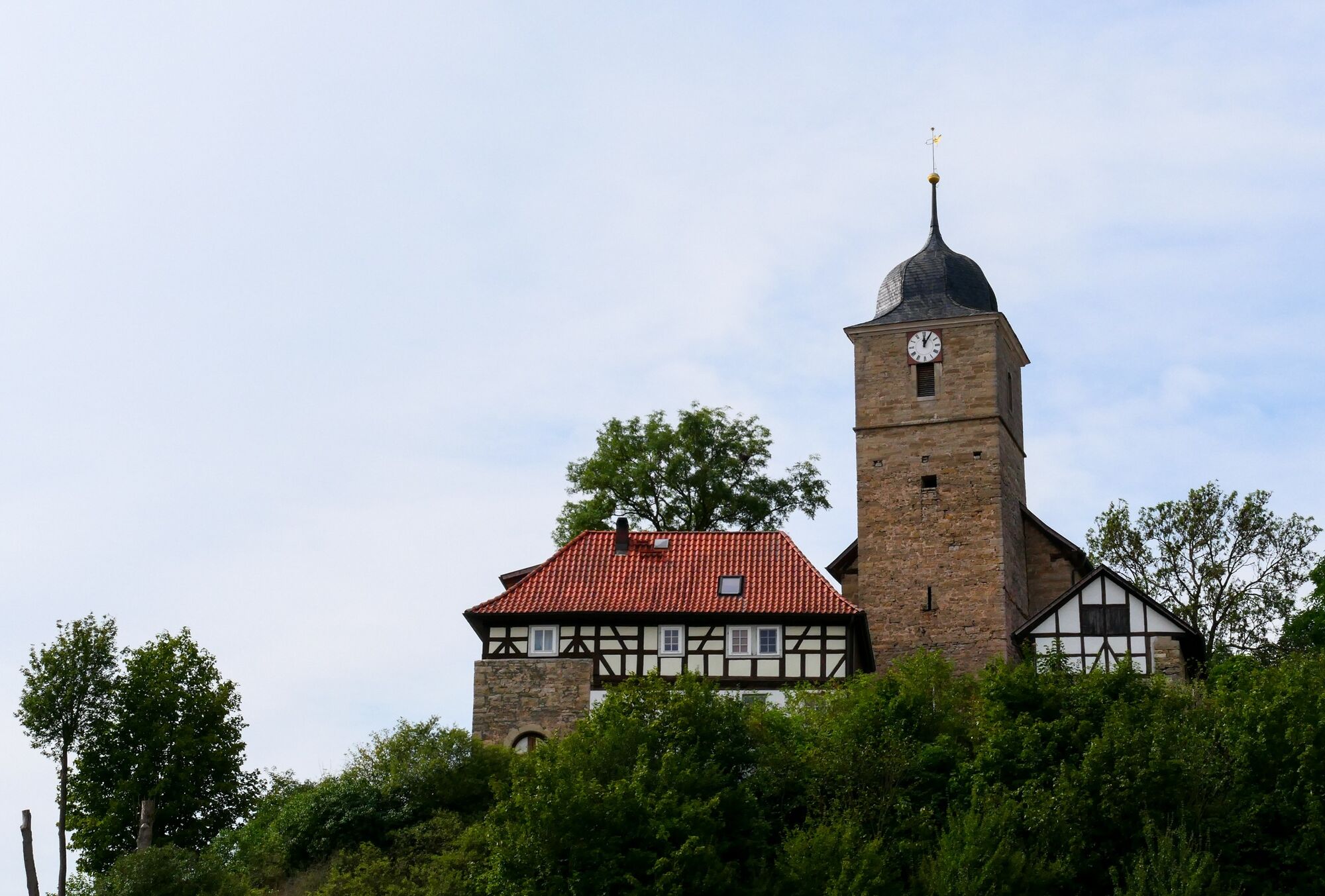
The path begins at the southern village entrance of Welkershausen. From here, follow the path through the village in a northeast direction uphill into the forest. After walking through it, there is a magnificent, wide panoramic view extending to the Thuringian Forest. Along fruit trees and fields, it now goes downhill to Utendorf. The route ends below the remarkable fortified church of Utendorf. In the village, you will find a playground with a rest area.

Welkershausen village entrance - Kiliansberg - Utendorf
Da
Sturdy footwear and weatherproof clothing.
Note the typical dangers of the forest!
Hiking is at your own risk!
We wish you a relaxing and eventful hike!
Leave the A71 at the Meiningen-Nord exit towards Meiningen-Nord/Bad Salzungen/Kaltennordheim/Wasungen and follow the B19 to Meiningen. Turn right onto Leipziger Straße and then after about 400 m turn right onto Jerusalemer Straße. After about 500 m, the Obertshäuser Platz parking lot is on the right side. From there you can reach the starting point of the hike in about 10 minutes on foot.
Meiningen is accessible by the South Thuringia Railway from Erfurt, Eisenach, and Sonneberg.
Arrival at Meiningen, train station
(Please enter your starting point and desired travel period in the form)
Leave the South Thuringia Railway at the Meiningen stop. The bus stops are located in front of the train station.
Get off the bus in Meiningen at the Seniorenheim or Kiliansberg/Post stop. From there, you can reach the starting point of the hike in about 5 minutes on foot.
The Obertshäuser Platz parking lot at the Schmalkalden-Meiningen district office is free of charge. (Google Nav point)
The ideal hiking time is from March to October.
Further information:
Tourist information Meiningen
Ernestinerstr. 2
98617 Meiningen
Email: touristinfo@meiningen.gmbh
Tel: 03693 44650
From Welkershausen you can discover Landsberg Castle on the opposite side of the Werra valley.
Priljubljeni izleti v okolici
-
4.4
Circular hiking route - EXTRATOUR - The Meininger
srednjaPohodništvo 10.8 km -
Circular route - Around the Roßbachhöhe - Schmalkalden - Thuringian Forest
srednjaPohodništvo 11.4 km -
4.0
Circular route - Asbacher Old Mining Path - Schmalkalden - Thuringian Forest
srednjaPohodništvo 7.57 km -
5.0
Circular Route - Museum Hike - Schmalkalden - Thuringian Forest
težkoPohodništvo 14.4 km -
Tour 11: Dolmar - der Berg der Kelten
težkoMountainbike 59.8 km -
Dr. Malade - Rhön - Circular route - Hohe Geba
srednjaPohodništvo 8.34 km -
5.0
Hiking - Rhön-Rennsteig-Route - Thuringian Forest
težkoPohodništvo v daljavo 97.8 km -
5.0
Celtic circular trail - Vachdorf
svetlobaPohodništvo 7.56 km -
4.0
Werra Water Hiking 2: Meiningen - Wernshausen
srednjaKajak / Kanu 24.7 km -
5.0
"On the Celtic Experience Trail" - Vachdorf-Wachenbrunn - Hike
srednjaPohodništvo 14.8 km
Pohodništvo in sledenje


Ne zamudite ponudb in navdiha za naslednje počitnice
Vaš e-poštni naslov je bil dodan na poštni seznam.