







Circular hiking route - Three Rocks Path - Zella-Mehlis - Thuringian Forest
Stopnja težavnosti: T2
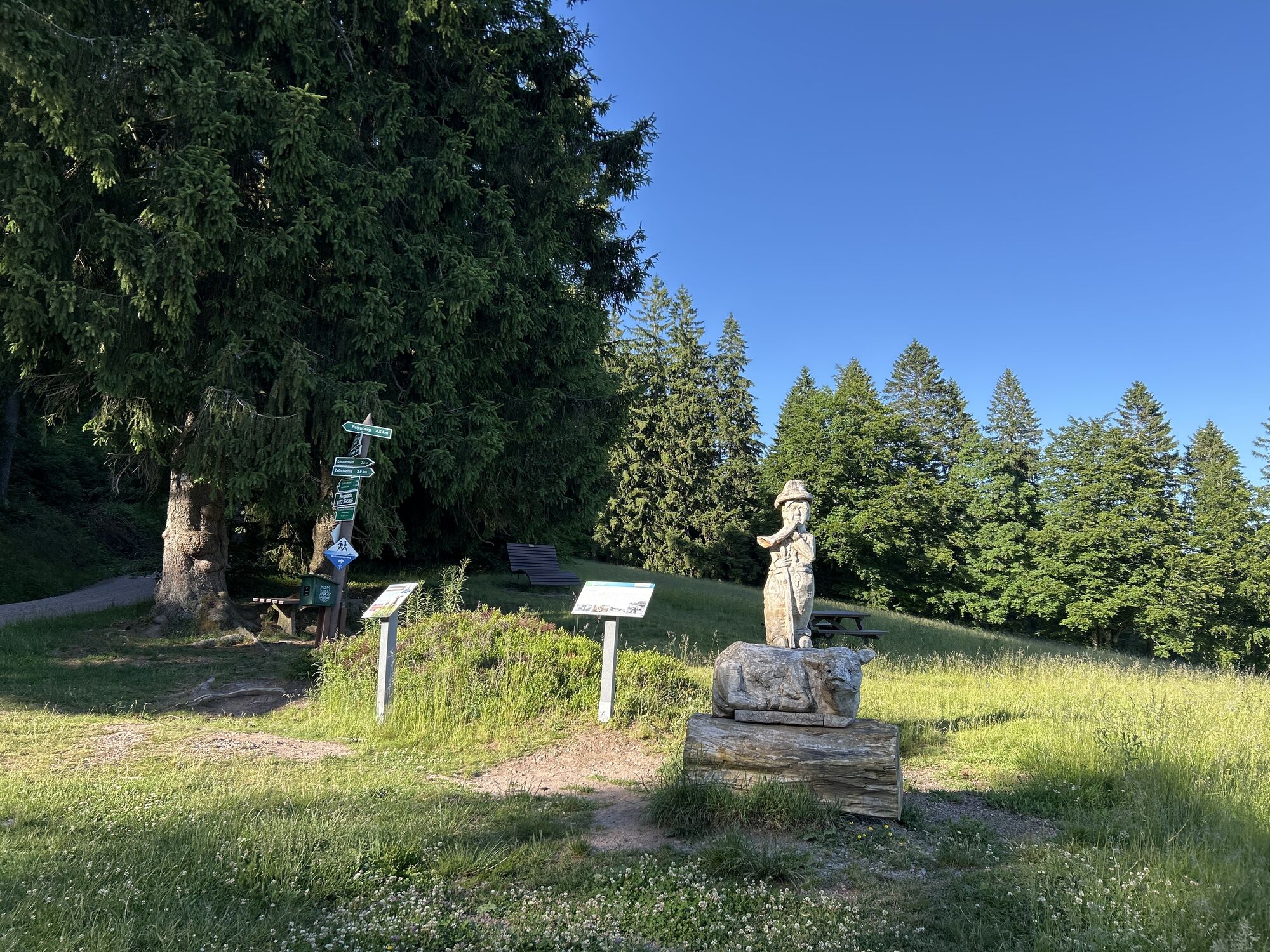
The starting point is at the Sportplatz Alte Straße - here you can also park your vehicle in the public parking lot.
At Stachelsrain, you pass the "Hans Renner" ski jump facility and then follow the nature...
The starting point is at the Sportplatz Alte Straße - here you can also park your vehicle in the public parking lot.
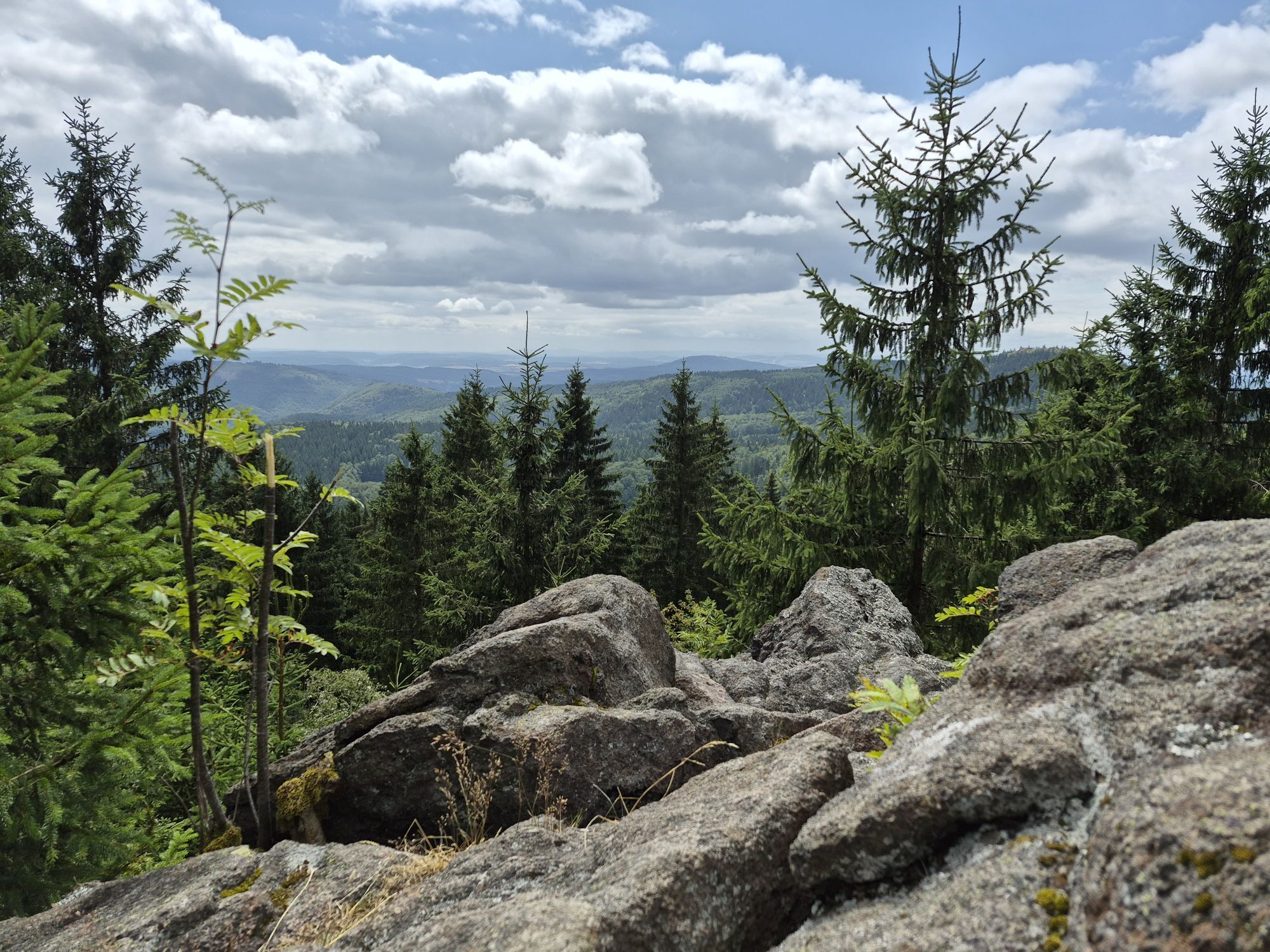
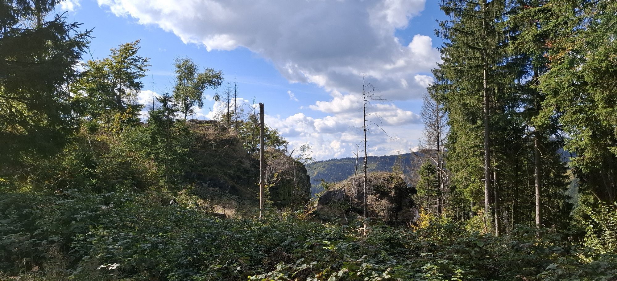
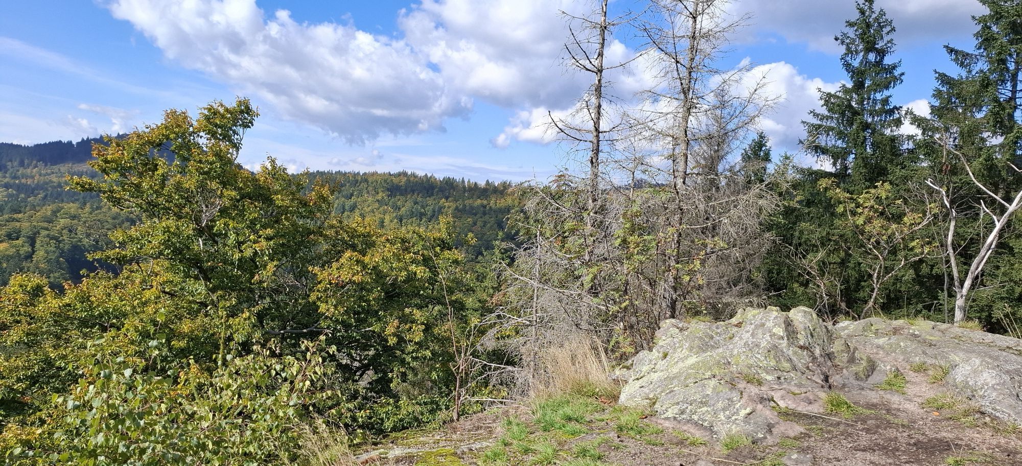
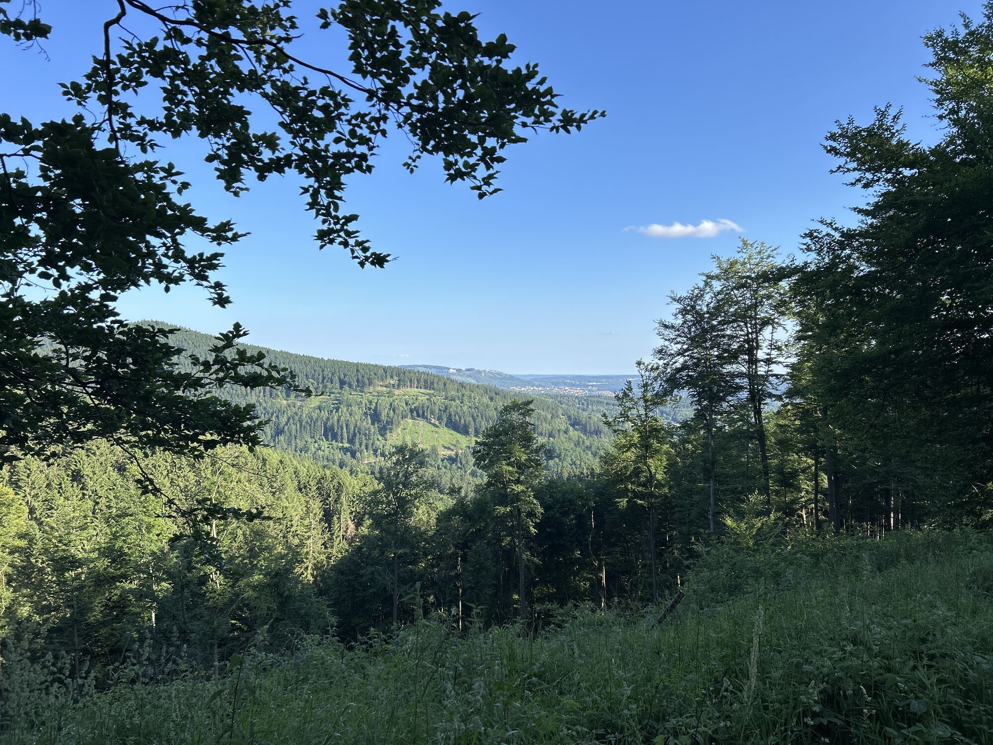
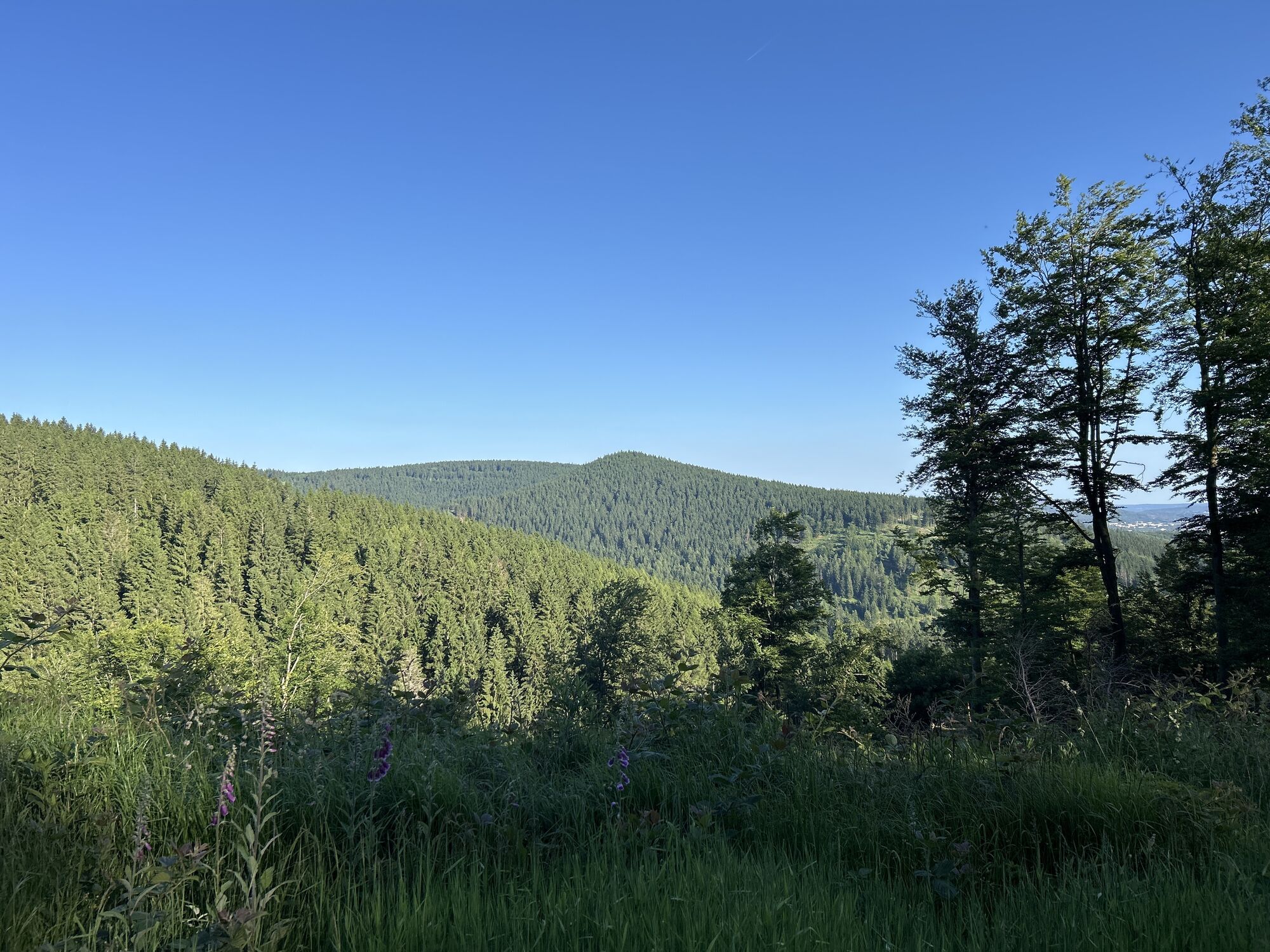
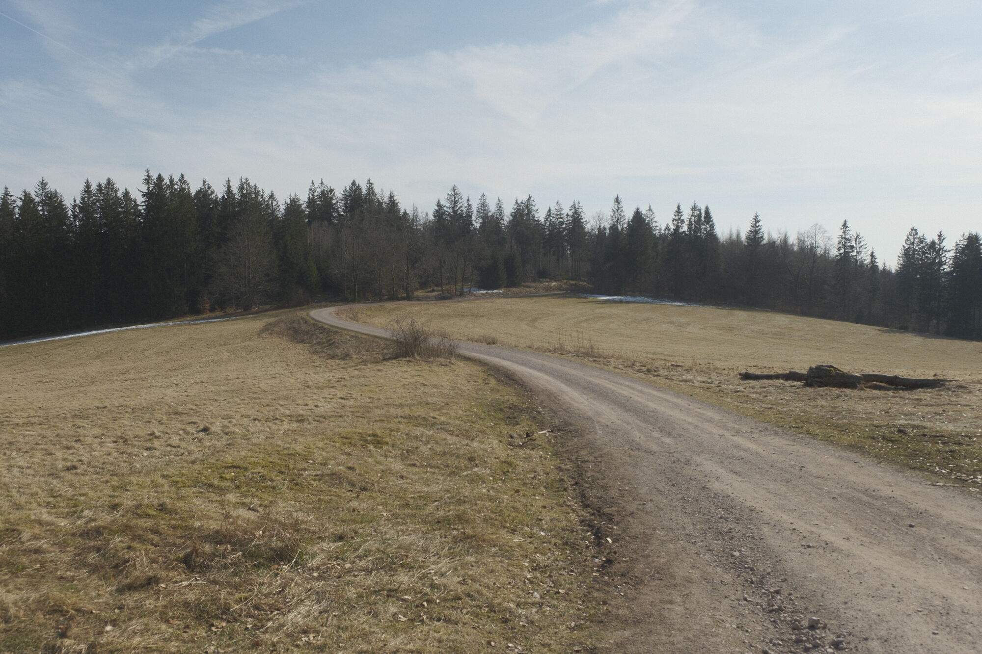
At Stachelsrain, you pass the "Hans Renner" ski jump facility and then follow the nature trail for about 1.5 km. Watch for the junction on the right; it is a path that leads over the next 2.5 km to three rock formations that, once climbed, offer magnificent views over the Zella-Mehlis basin and the Thuringian Forest reaching up to the Rhön Mountains.
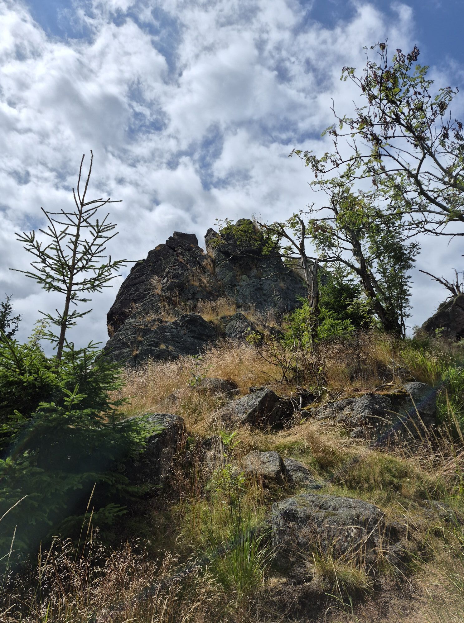
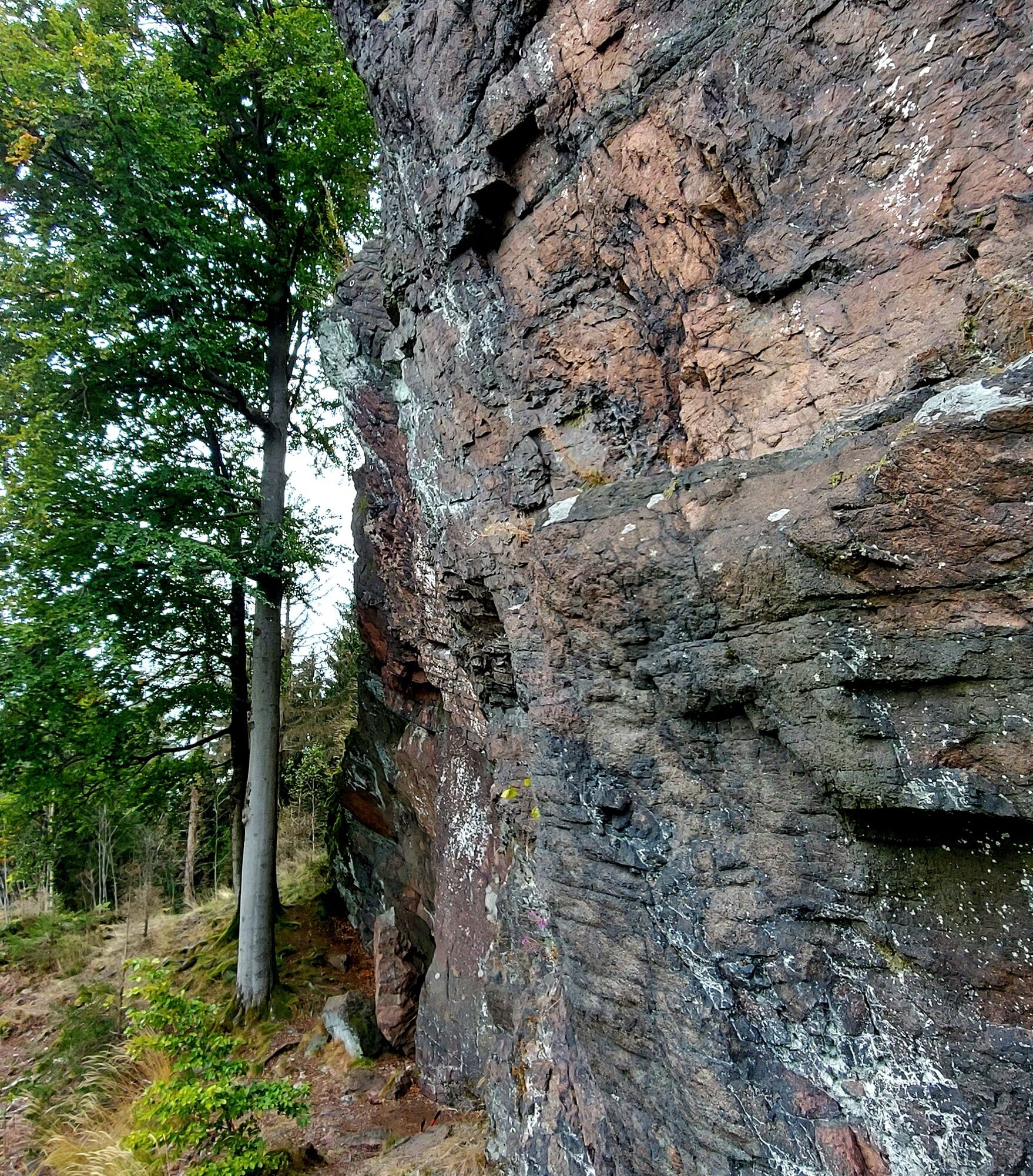
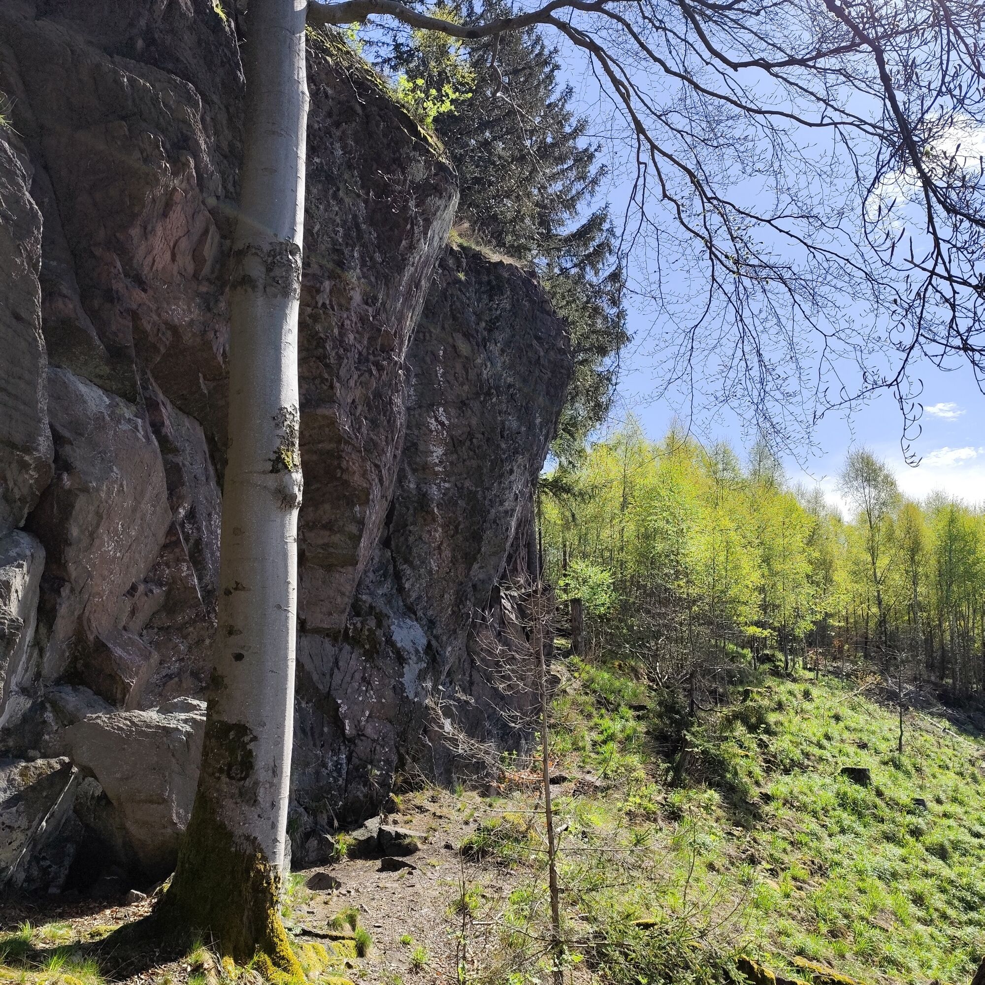
At Heinrichsbacher Stein (750 m), you can try climbing routes ranging from difficulty level 3 to 9, a paradise for climbing enthusiasts!
It is interesting to know that the brave mountaineers from Zella-Mehlis used this 18-meter-high wall even before the Second World War to prepare for alpine mountain tours.
The path continues to a distinctive junction. A lovingly carved bench invites you to take a short break and enjoy the view. Here you can relax and absorb the sounds of the forest.
After this relaxing rest and a bit further along the path, you reach the "Kaltenbrunner Stein" (849 m). The view from this rock is somewhat limited because it lies hidden in dense forest. The surrounding trees and the gentle light filtering through the leaves give this place a mysterious atmosphere. A mystical feeling spreads as you perceive the beauty of the forest around you.
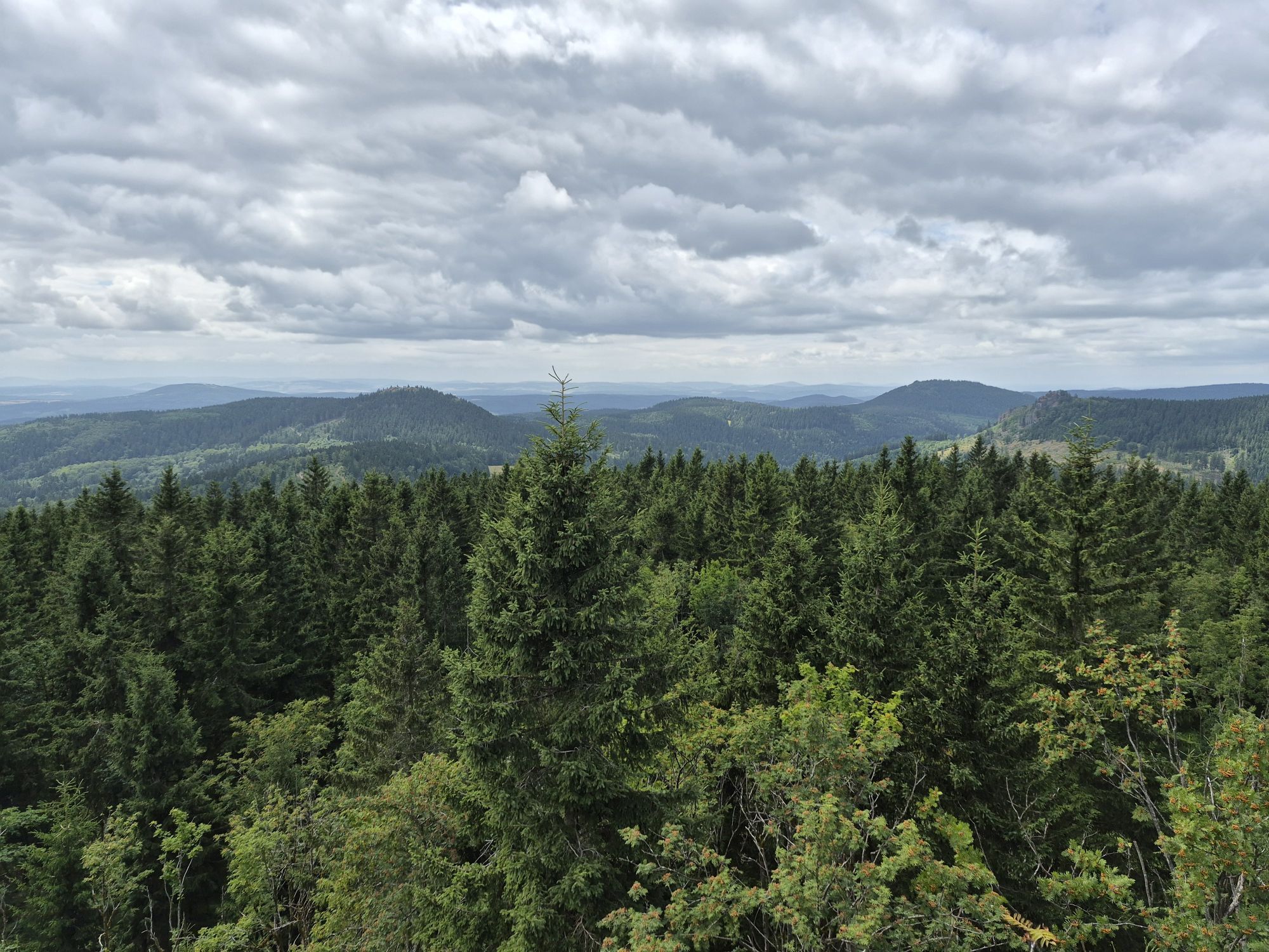
After about 200 meters, you turn left at the Rennsteig – Dolmar – path and shortly after right to reach the "Gebrannter Stein" (897 m). Here the view opens in all directions – from the legendary Rennsteig to the "High Rhön". The path now winds along the ridge and after a short descent you reach the Rennsteig – Dolmar – path again.
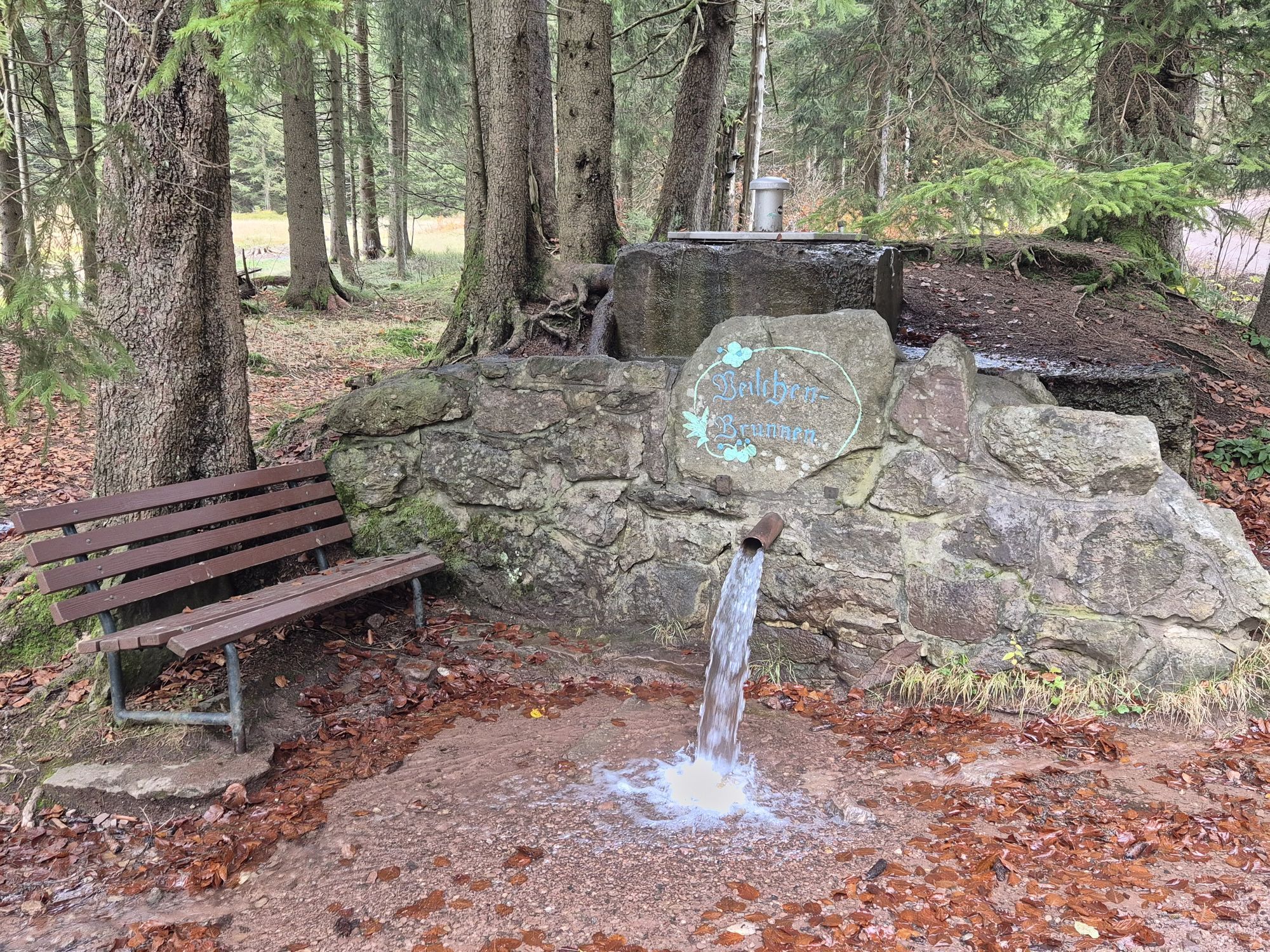
And now comes the comfortable part: at the rustic Bergbaude Veilchenbrunnen, you can refresh yourself and reflect on the experiences of the hike.
The path leads back to the starting point via the Dammwiese.





Sportplatz Alte Straße - Stachelsrain - Pflanzgarten - Nature Trail - Felsenpfad Junction - Heinrichsbacher Stein - Kaltenbrunner Stein - Gebrannter Stein - Veilchenbrunnen - Dammwiese - Stachelsrain - Sportplatz Alte Straße
Da
sturdy footwear, rainwear, drink supply, first aid kit
Avoid walking on moss-covered stones and rocks due to the risk of slipping and be mindful of deadwood, branches, and possible obstacles.
Absolute caution and care when climbing the rocks - climbing is at your own risk!
Coming via the A71, take exit 18 Oberhof/Zella-Mehlis. Continue towards Markt Mehlis, Alte Straße -> parking available on the right at the sports field
You can conveniently reach Zella Mehlis by train and bus.
Google Maps NAV Point
T2
You can get hiking maps and more excursion tips at the Tourist Information Zella-Mehlis.
Near the Bergbaude Veilchenbrunnen , the eponymous spring bubbles and invites you to refresh yourself.
Pridobite vpogled Vedno v živo na mestu z več kot 9.500 spletnimi kamerami. bergfex Kot uporabnik Pro si lahko zdaj ogledate ustrezne spletne kamere za številne izlete v aplikaciji izleti iz. Tako si lahko neposredno ogledate trenutne razmere. Priljubljeni izleti v okolici
- 4.3
Rund um die Ohratalsperre
svetlobaPohodništvo 14.5 km - 4.4
Circular hike "Old Tambach Dam", Tambach-D., Thuringian Forest
srednjaPohodništvo 8.33 km - 3.8
Wanderung zum Spitterfall
srednjaPohodništvo 14.6 km - 4.7
Hike over the Rennsteig & the Schneekopf to the Schmücke
težkoPohodništvo 21.0 km - 4.8
Circular hike - Schmalwasser reservoir - Tambach-Dietharz - Thuringian Forest
srednjaPohodništvo 13.8 km - 4.0
Circular hiking route "Oberschönauer Felsenwanderung" - Steinbach-Hallenberg - Thuringian Forest
težkoPohodništvo 12.0 km - 4.0
Zu den Schanzen im Kanzlersgrund
srednjaPohodništvo 9.58 km - 4.5
Circular hike to Bärenstein & Pfanntalsteich
srednjaPohodništvo 9.10 km Circular hiking route - Ruppberg - Thuringian Forest
srednjaPohodništvo 11.4 km- 4.2
Circular hiking route - "Zunft & Kloß" - Zella-Mehlis - Thuringian Forest
težkoTematska pot 6.83 km
Pohodništvo in sledenje


Ne zamudite ponudb in navdiha za naslednje počitnice
Vaš e-poštni naslov je bil dodan na poštni seznam.





