






Monte San Giorgio bike route
Stopnja težavnosti: 1
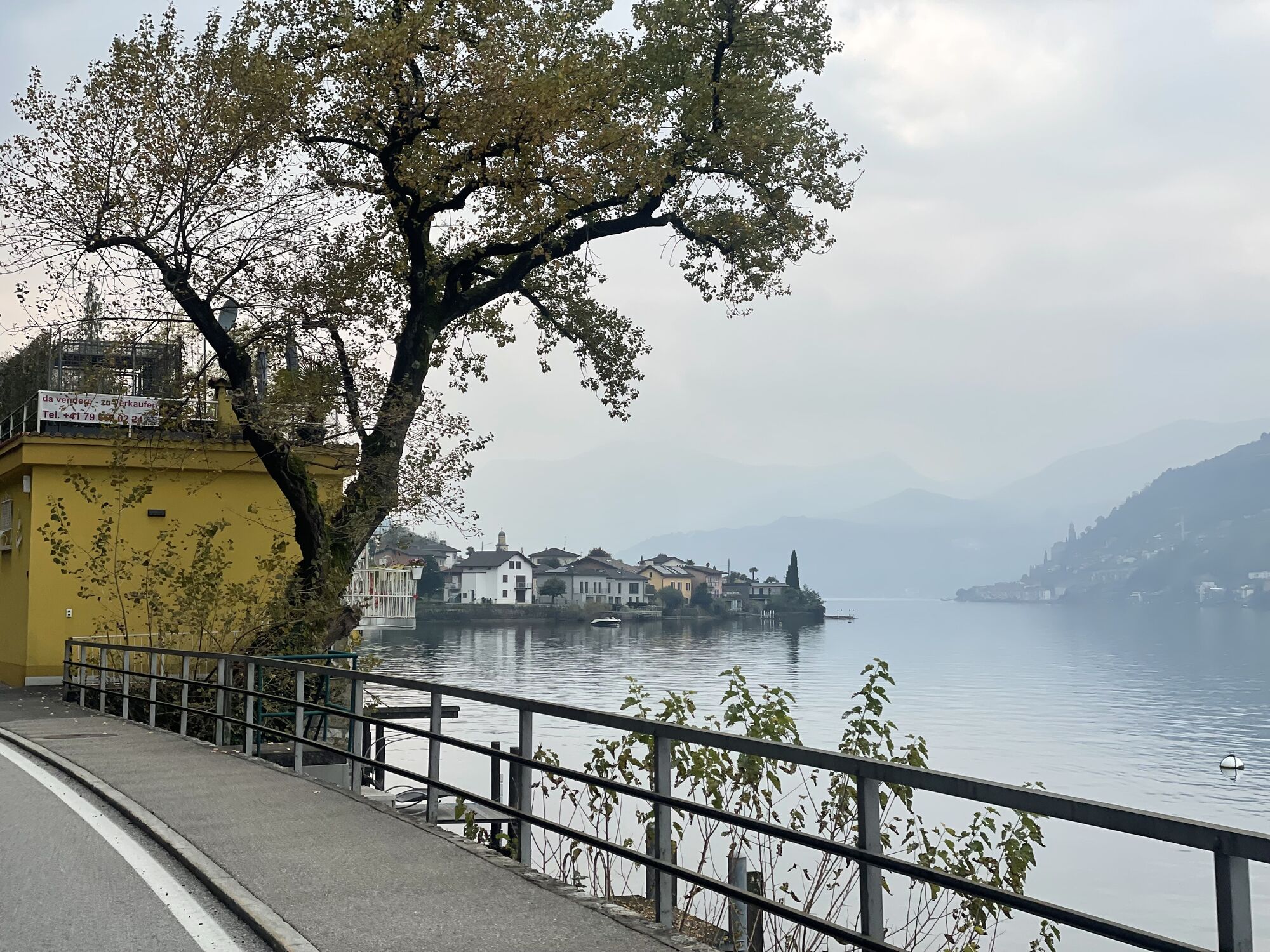
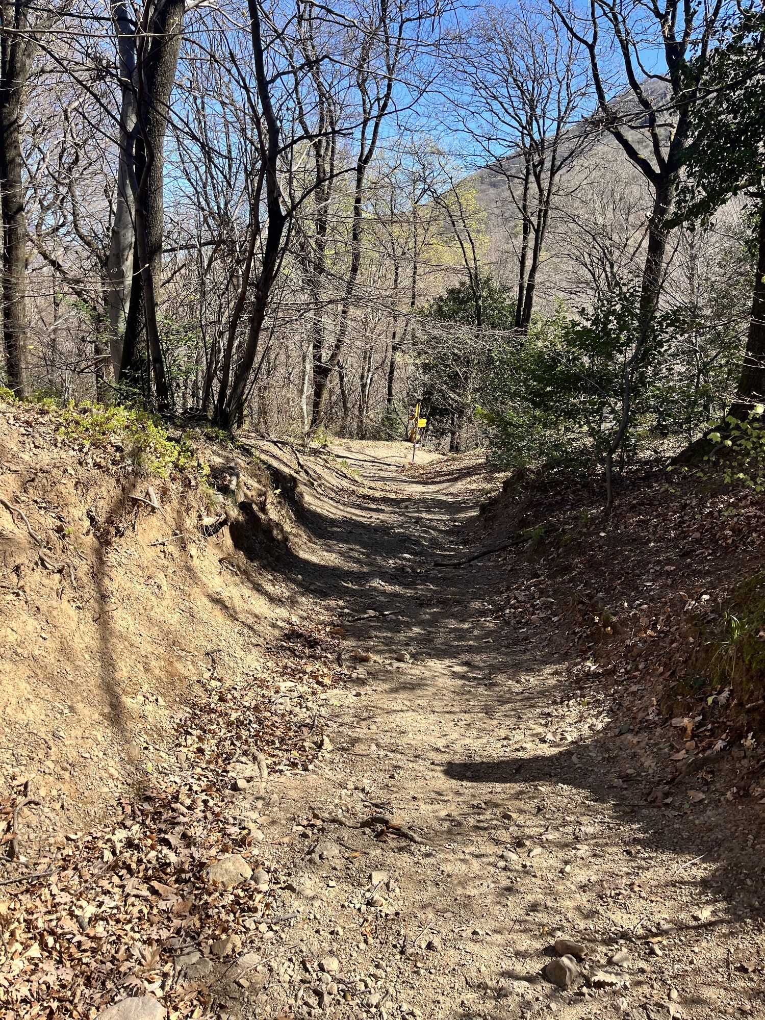


The route starts at the Capolago railway station. From here, follow Via al Mulino, then Via Segoma towards Riva San Vitale. Upon entering the village, it's worth making a short detour to the Baptistery...
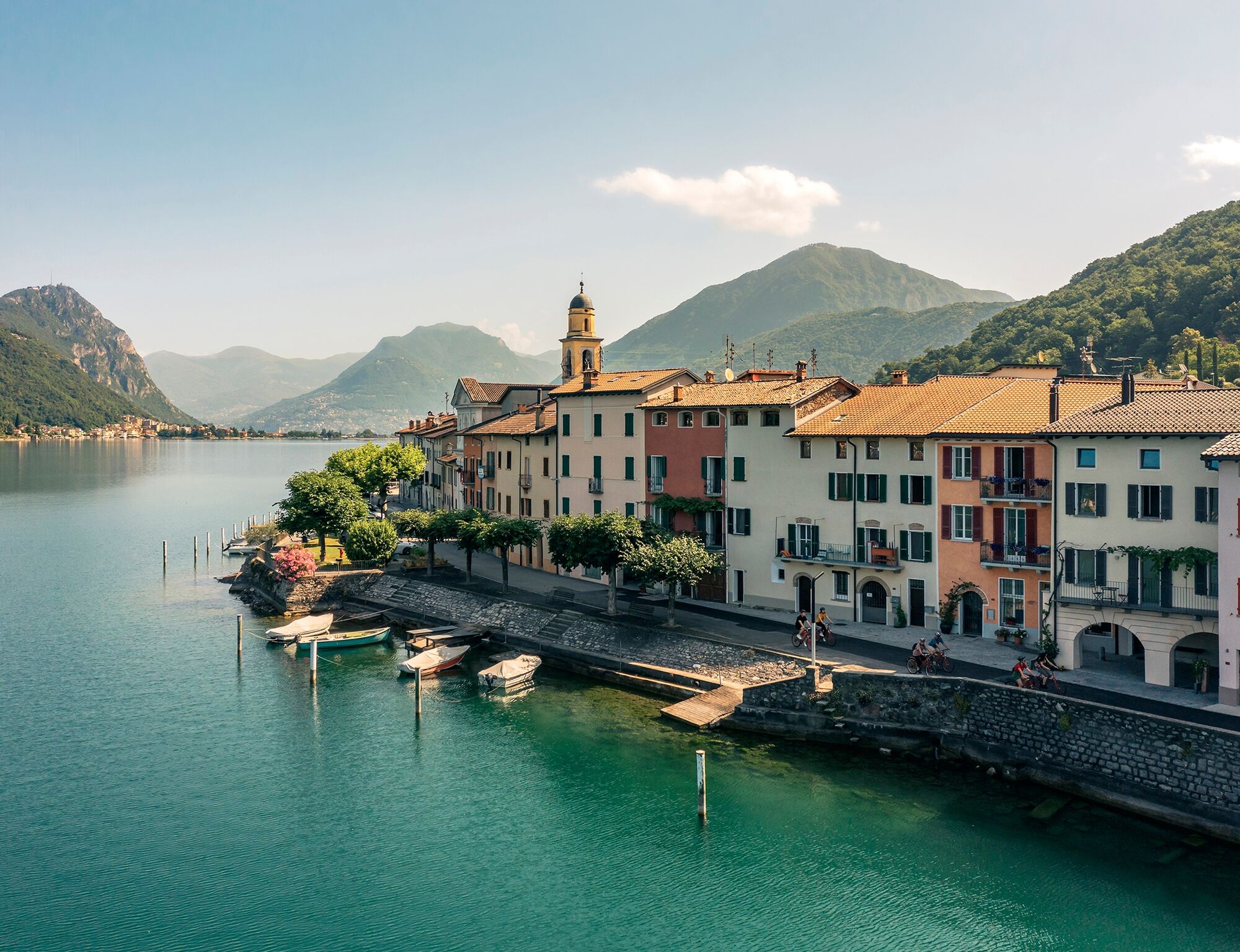
The route starts at the Capolago railway station. From here, follow Via al Mulino, then Via Segoma towards Riva San Vitale. Upon entering the village, it's worth making a short detour to the Baptistery of San Giovanni, an important example of early Christian architecture.
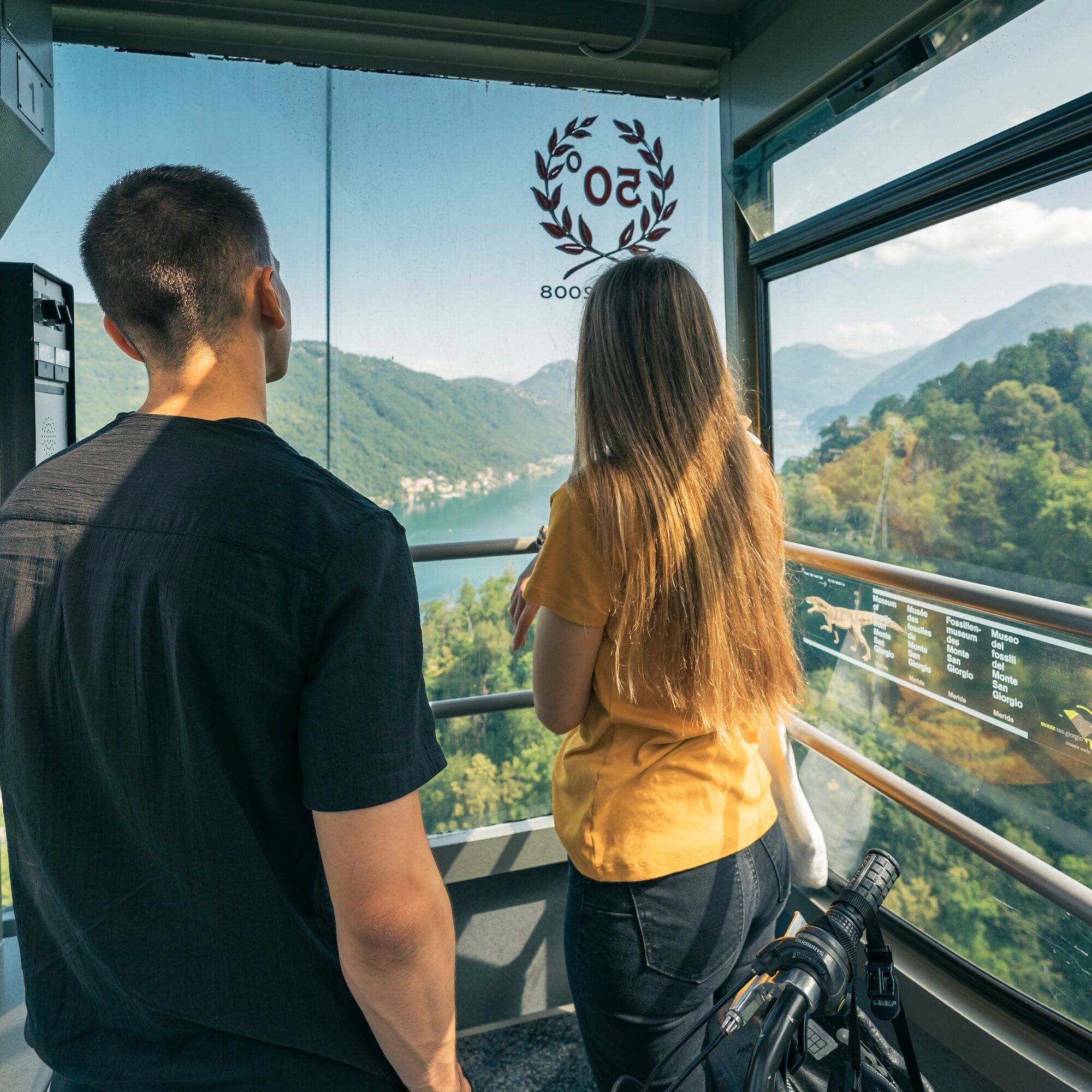
Following the shore of Lake Ceresio, continue on the cantonal road until you reach the departure point of the Brusino-Serpiano aerial cableway, the first aerial cableway in Switzerland. Loading the bicycles onto the cableway (check opening times), in a few minutes you reach the Serpiano location (653 m a.s.l.) from which you can enjoy breathtaking views of the surrounding mountains and the Lugano region.
Descend towards Meride (583 m a.s.l.) on the main road surrounded by forest, crossing the charming historic center where the Monte San Giorgio Fossil Museum is located, allowing you to discover the fascination of a world dating back 240 million years with virtual reality stations, fossils, and life-size Triassic reptiles.
Continuing on, you arrive at Tremona (571 m a.s.l.), where you can visit the Archaeological Park (open March-November) and experience augmented reality with special 3D glasses. Then continue towards Rancate on the bike path.
On Via Cercera, follow the railway underpass and continue on Via Carlo Diener. Continuing along Via Giuseppe Motta, you reach the old town center, rich in points of interest such as Casa Pollini, the renovated Piazza del Ponte with the Church of SS. Cosma and Damiano, the Art Museum, and the Servite Cloister.
At the height of Villa Argentina Park, continue on the official signage number 3 (North-South Route). Leaving the village behind, continue on the cantonal road towards Riva San Vitale, entering the Laveggio Park and following the river until you return to the starting point at Capolago station.
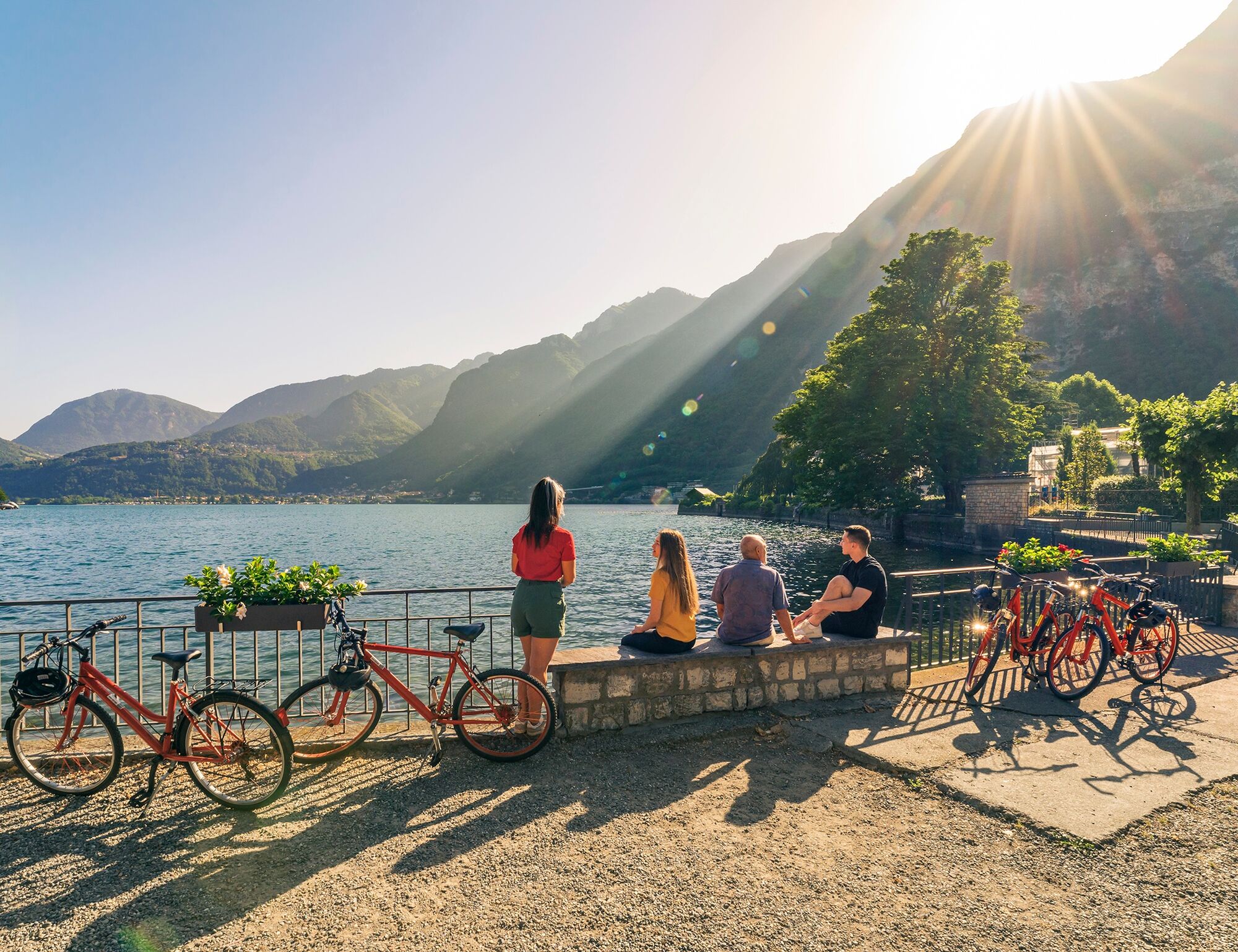
Along the entire route, there are numerous refreshment points and fountains, making the ride even more pleasant.


Da
Da
Along the entire route, there are numerous refreshment points and fountains, making the ride even more pleasant.
1
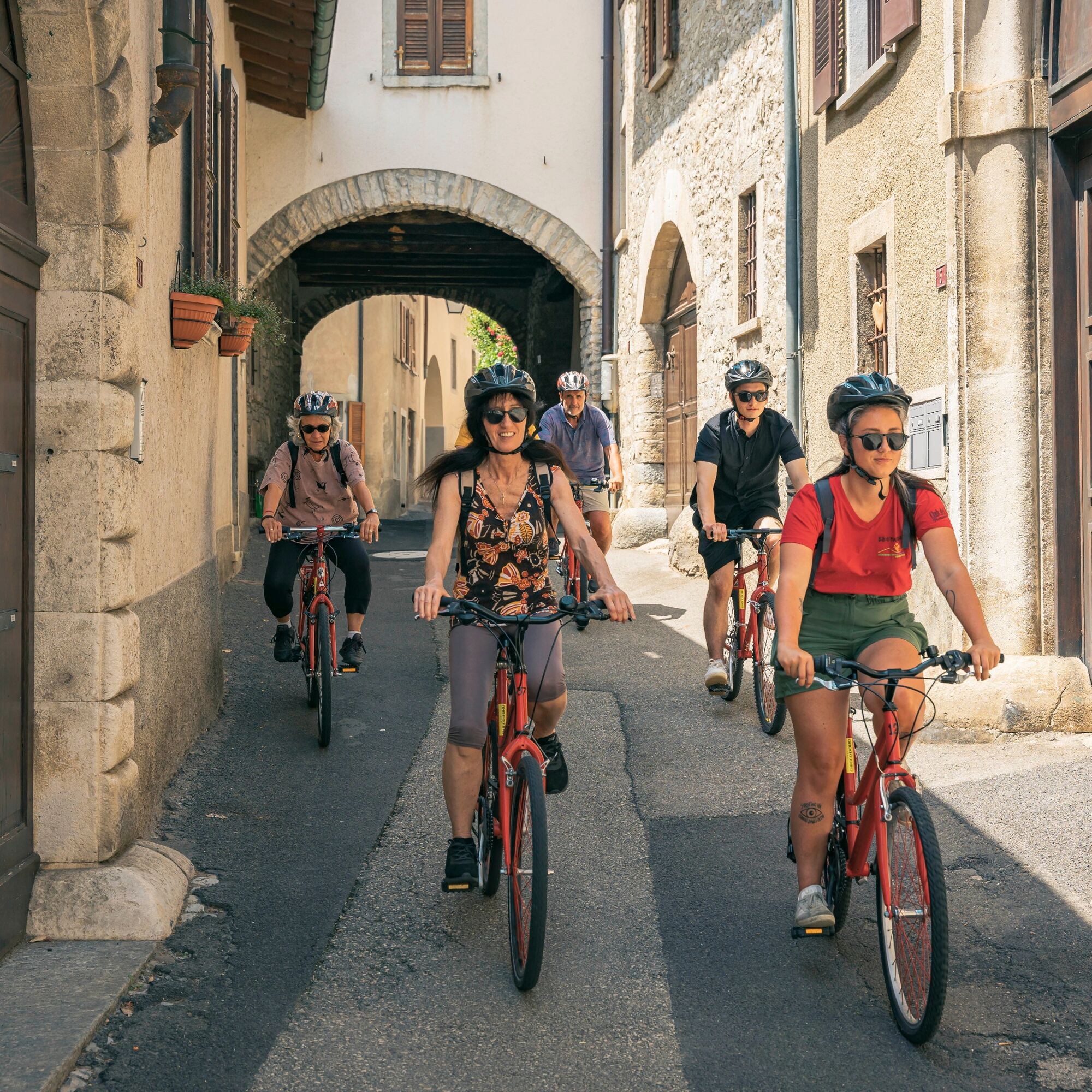
A beautiful bike ride in the nature of Monte San Giorgio with numerous stops at points of cultural and educational interest.
Pridobite vpogled
Vedno v živo na mestu z več kot 9.500 spletnimi kamerami. bergfex Kot uporabnik Pro si lahko zdaj ogledate ustrezne spletne kamere za številne izlete v aplikaciji izleti iz. Tako si lahko neposredno ogledate trenutne razmere.
Priljubljeni izleti v okolici
-
4.5
Sentiero del Monte Generoso (SwitzerlandMobility 635)
srednjaPohodništvo 9.22 km -
3.0
Bellavista - Monte Generoso
svetlobaPohodništvo 2.60 km -
5.0
Brè - Sasso Rosso - Monte Boglia - Lugano
težkoPohodništvo 11.6 km -
5.0
Vetta Monte Generoso - Roncapiano - Muggio
srednjaPohodništvo 6.01 km -
5.0
Vom Restaurant auf den Gipfel (Kulm)
svetlobaPohodništvo 0.58 km -
Scudellate - Erbonne - Alpe Orimento
srednjaPohodništvo 3.58 km -
5.0
Castagnola-Bré-Cureggia-Pregassona-Castagnola
svetlobaPohodništvo 14.1 km -
5.0
Morcote - San Salvatore
srednjaPohodništvo 9.95 km -
5.0
Monte Bisbino Path
srednjaPohodništvo 9.13 km -
Variante Monte Generoso - Sentiero Gianola
težkoPohodništvo 5.68 km
Pohodništvo in sledenje


Ne zamudite ponudb in navdiha za naslednje počitnice
Vaš e-poštni naslov je bil dodan na poštni seznam.





