







Variante Monte Generoso - Sentiero Gianola
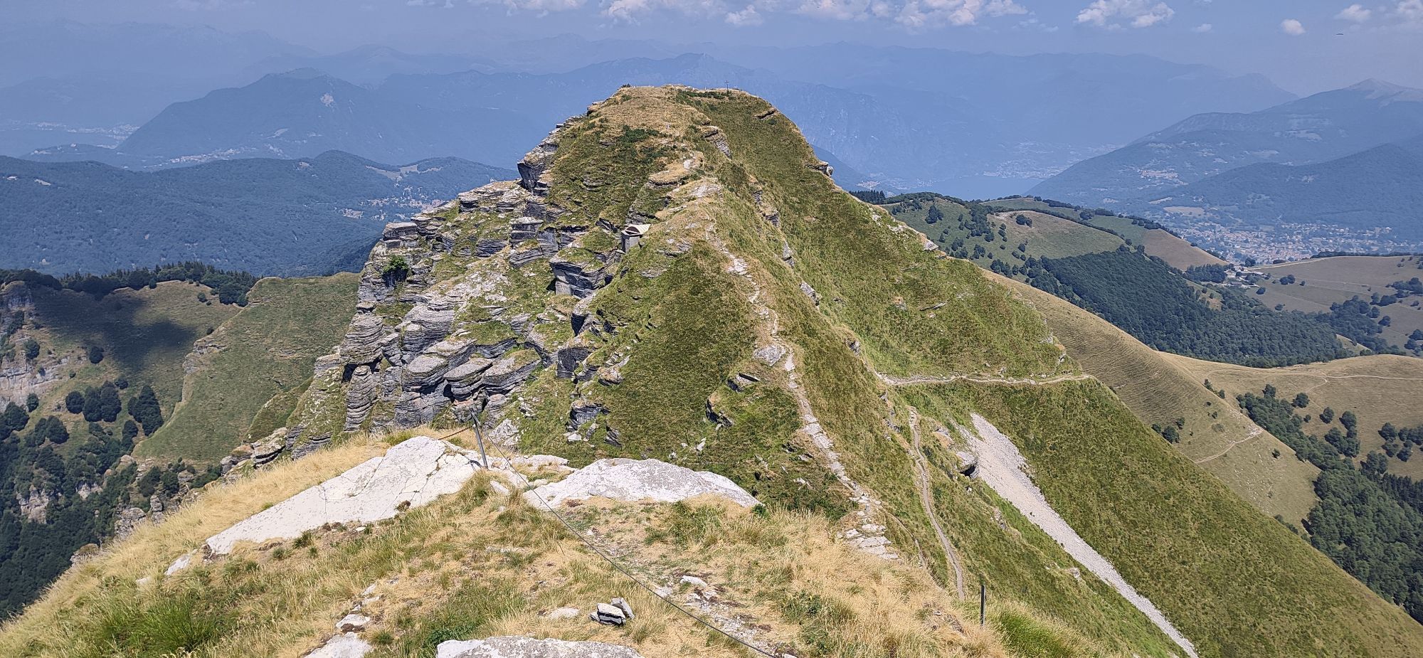
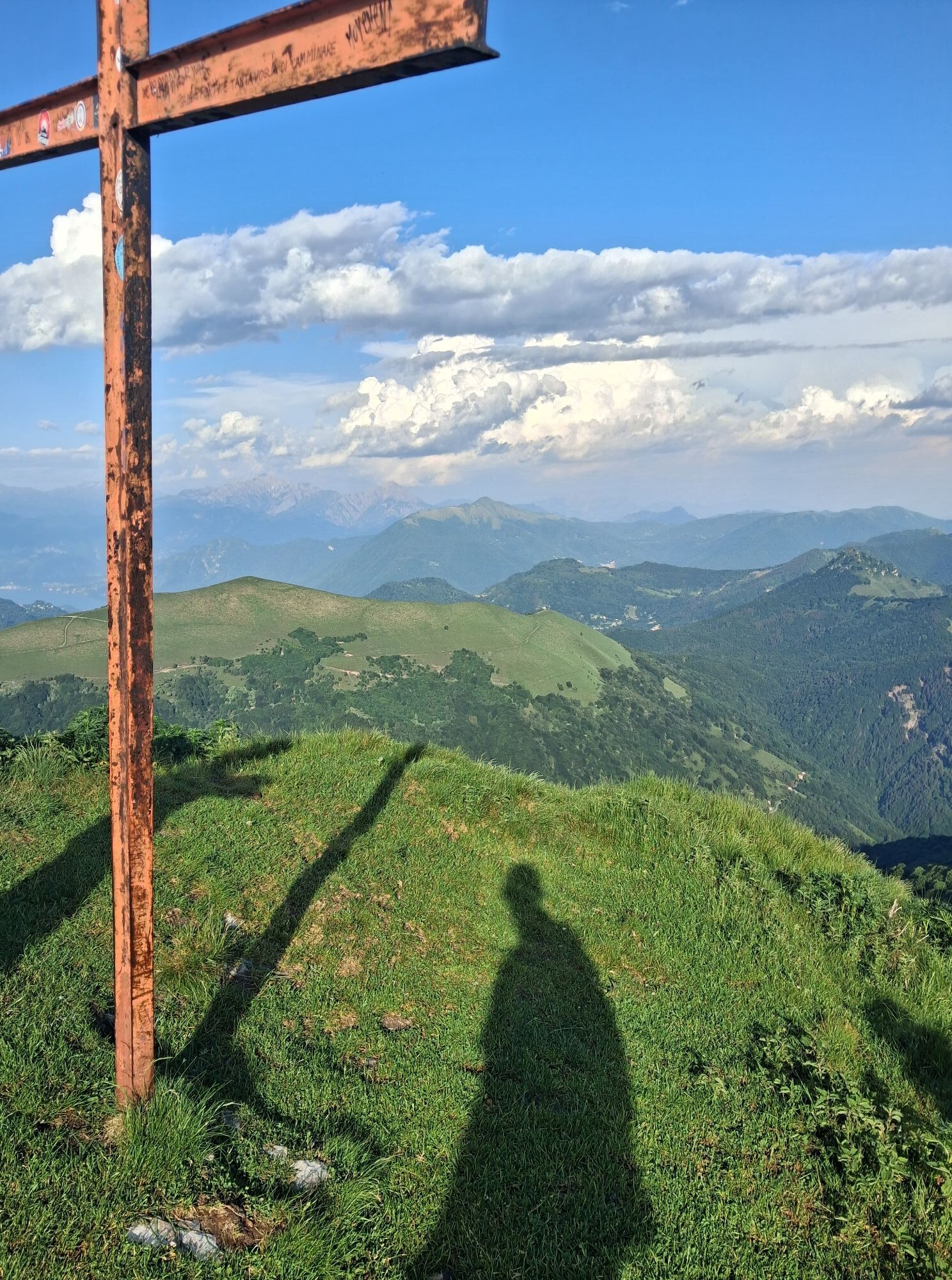
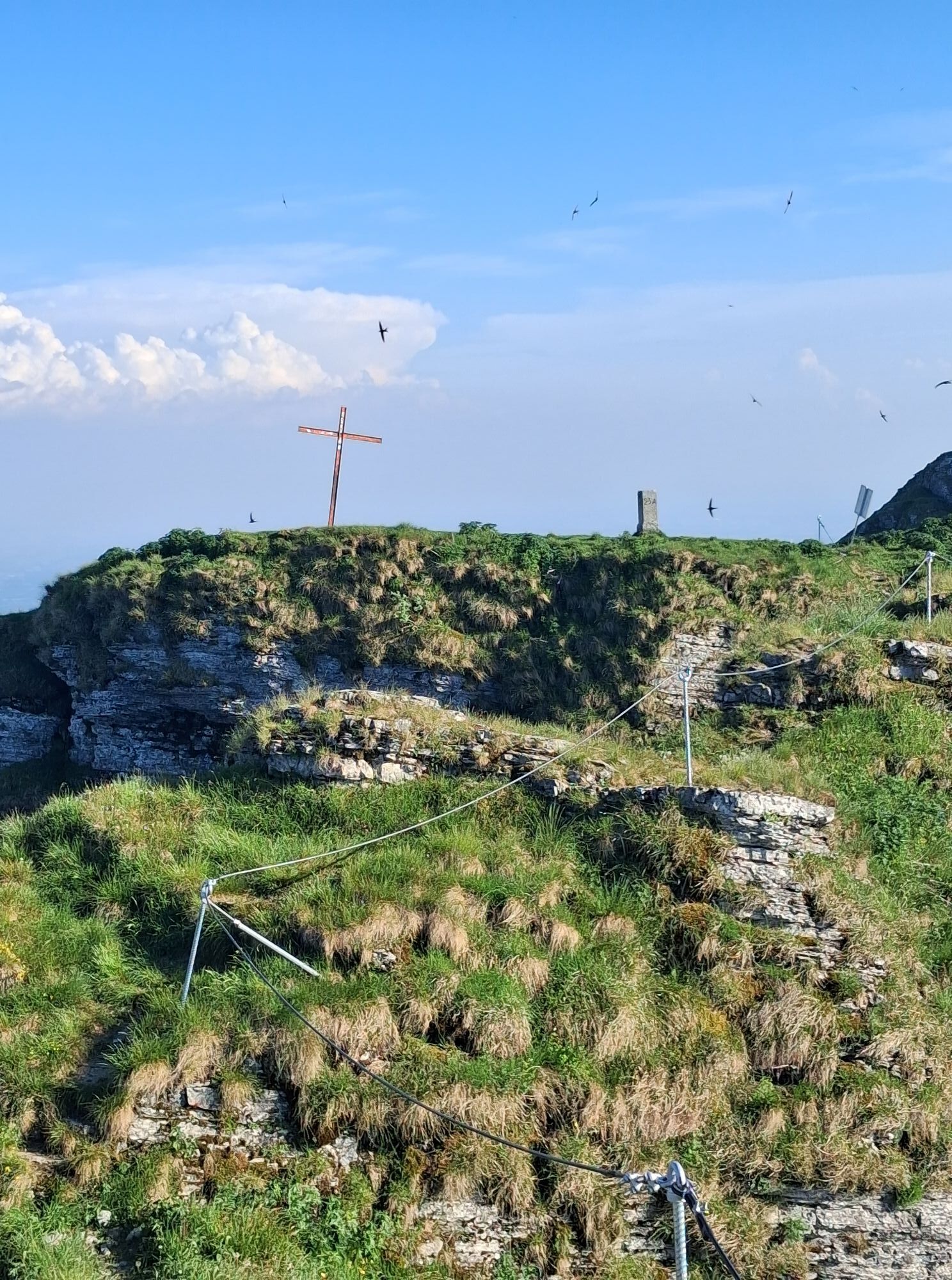
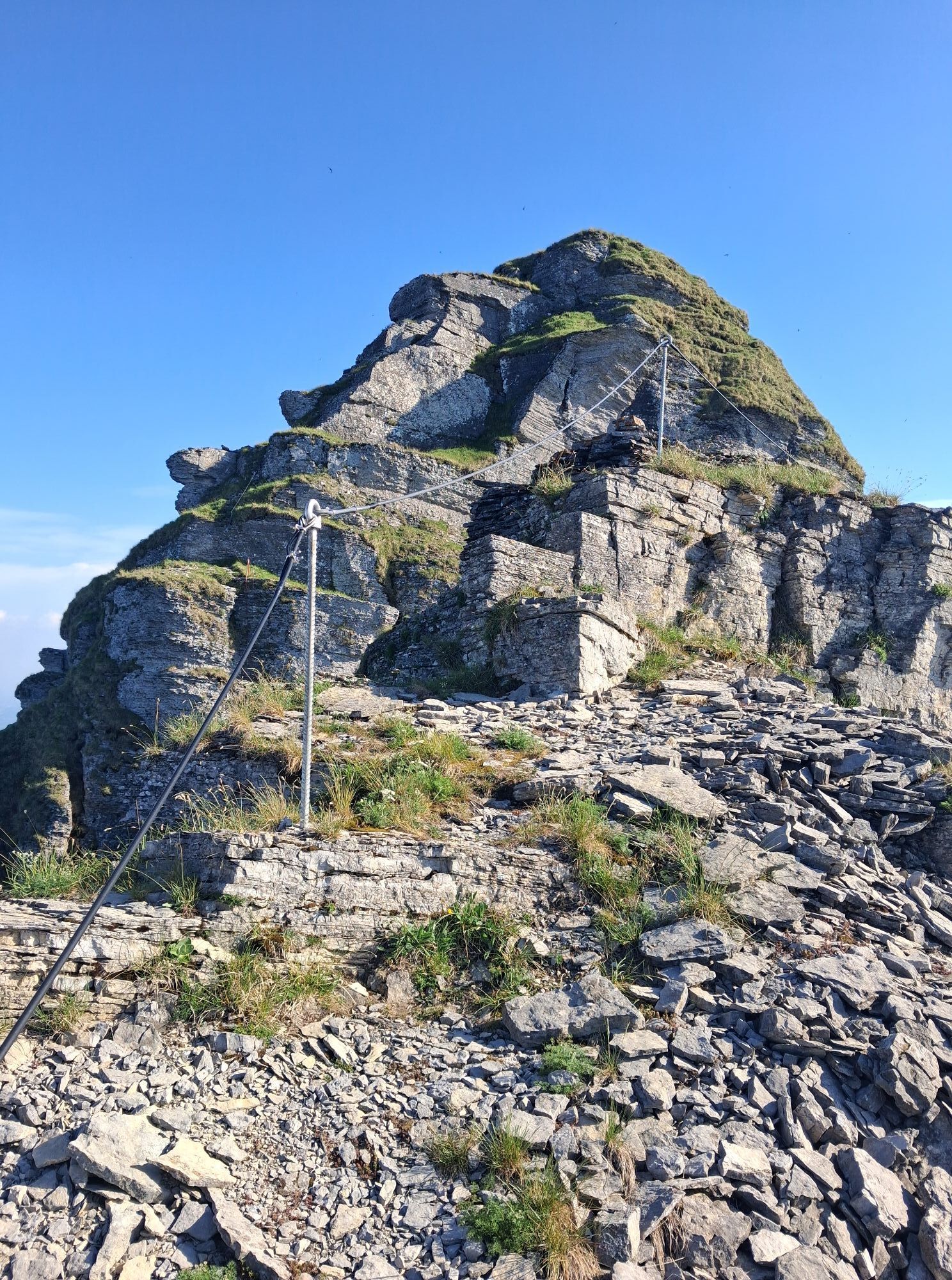
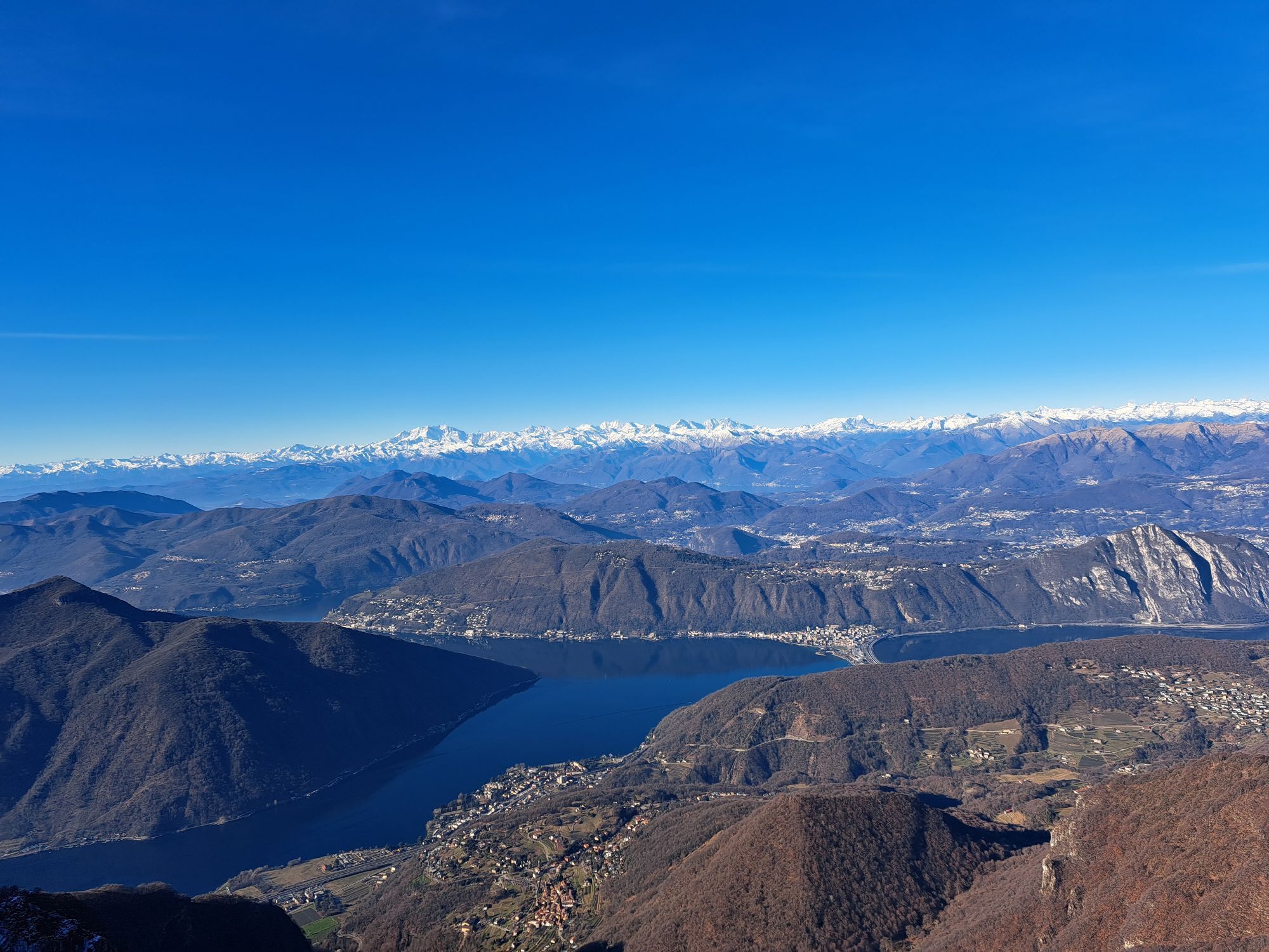
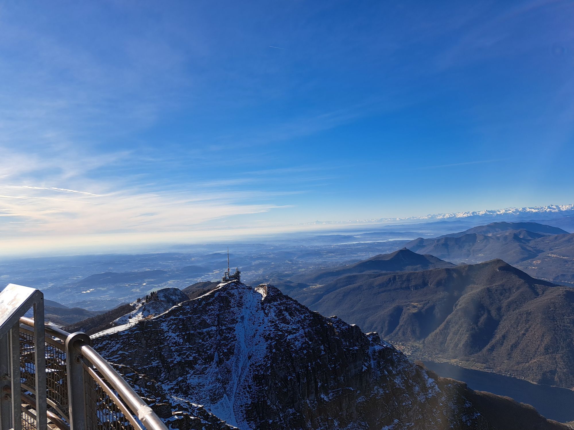
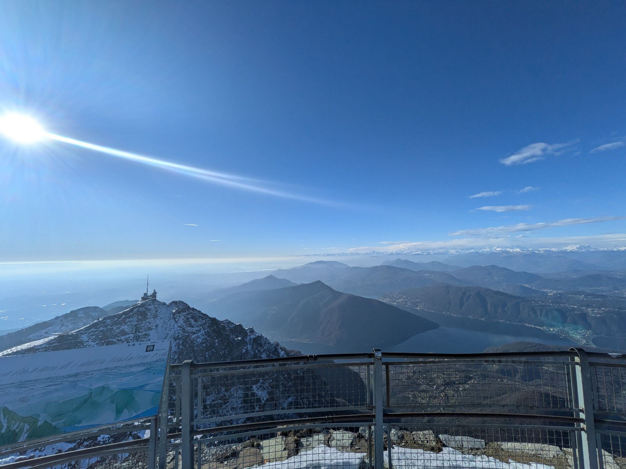
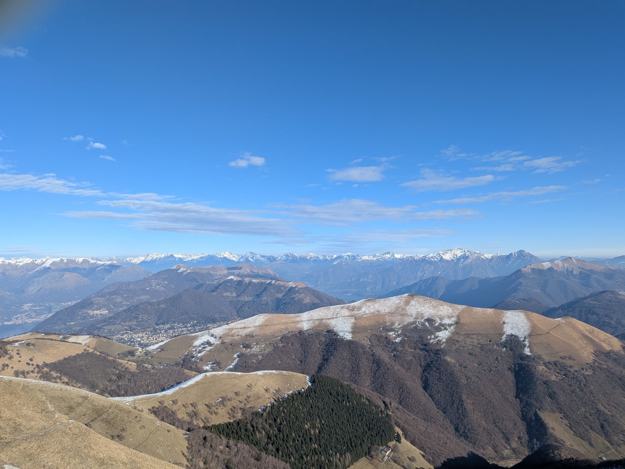
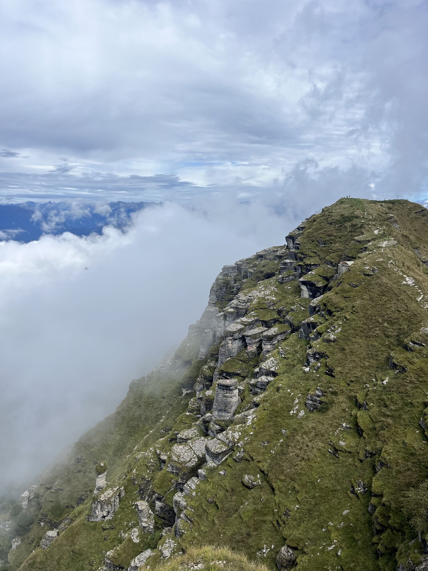
A trail for experienced hikers that starts from Rovio and then climbs, increasingly steeply, to the summit of the mountain, revealing the most alpine and spectacular soul of this mountain. After crossing...
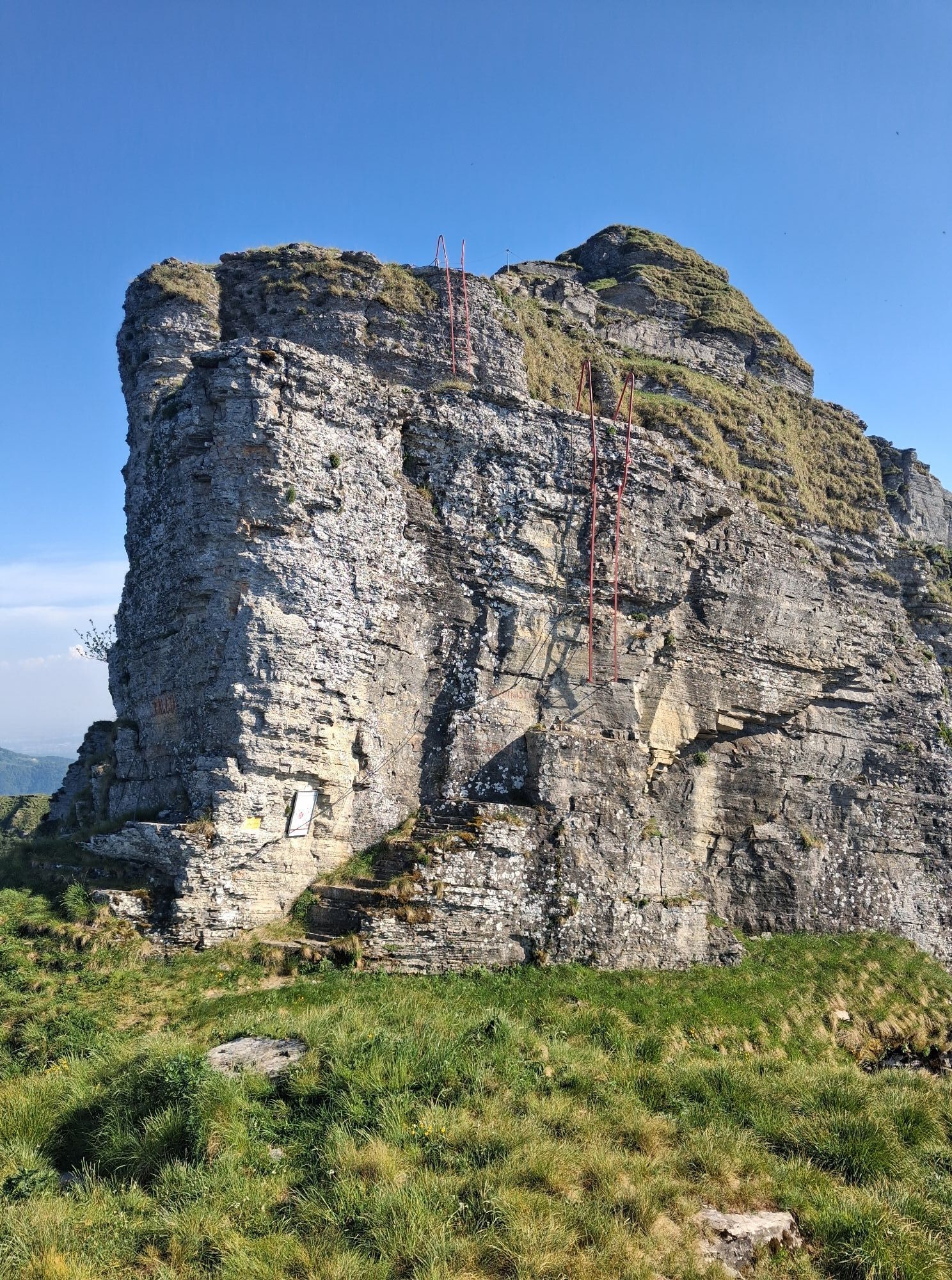
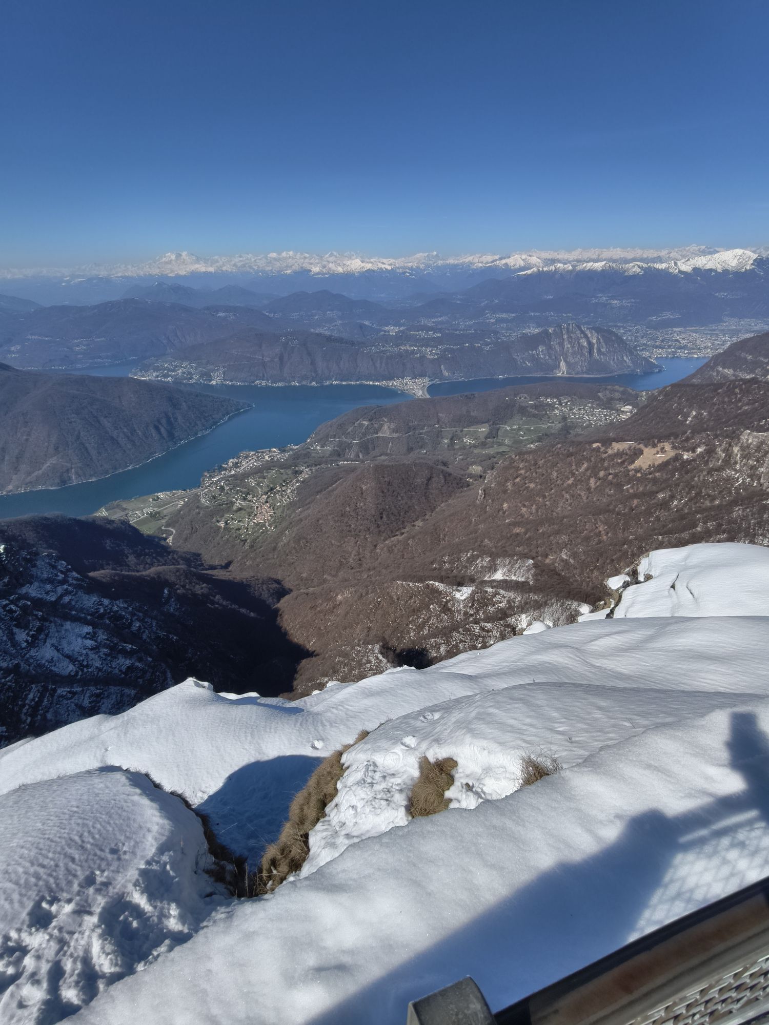
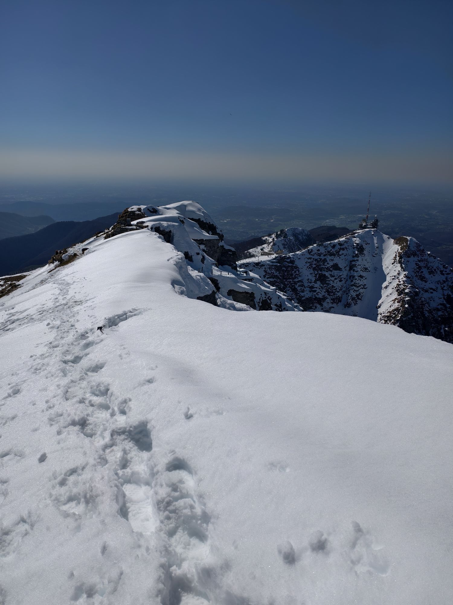
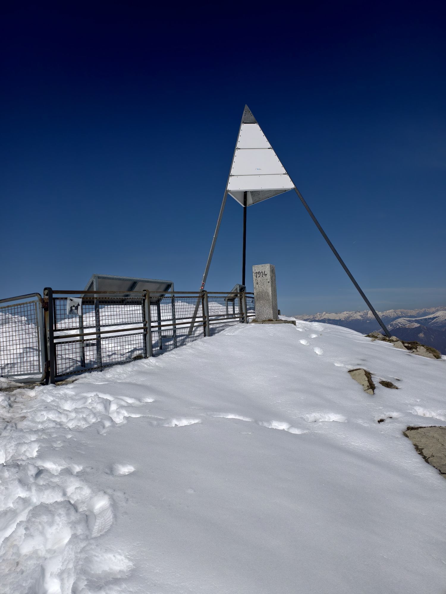
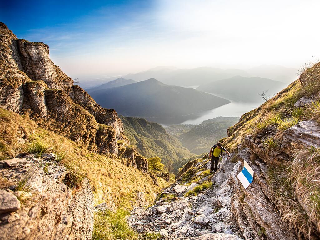
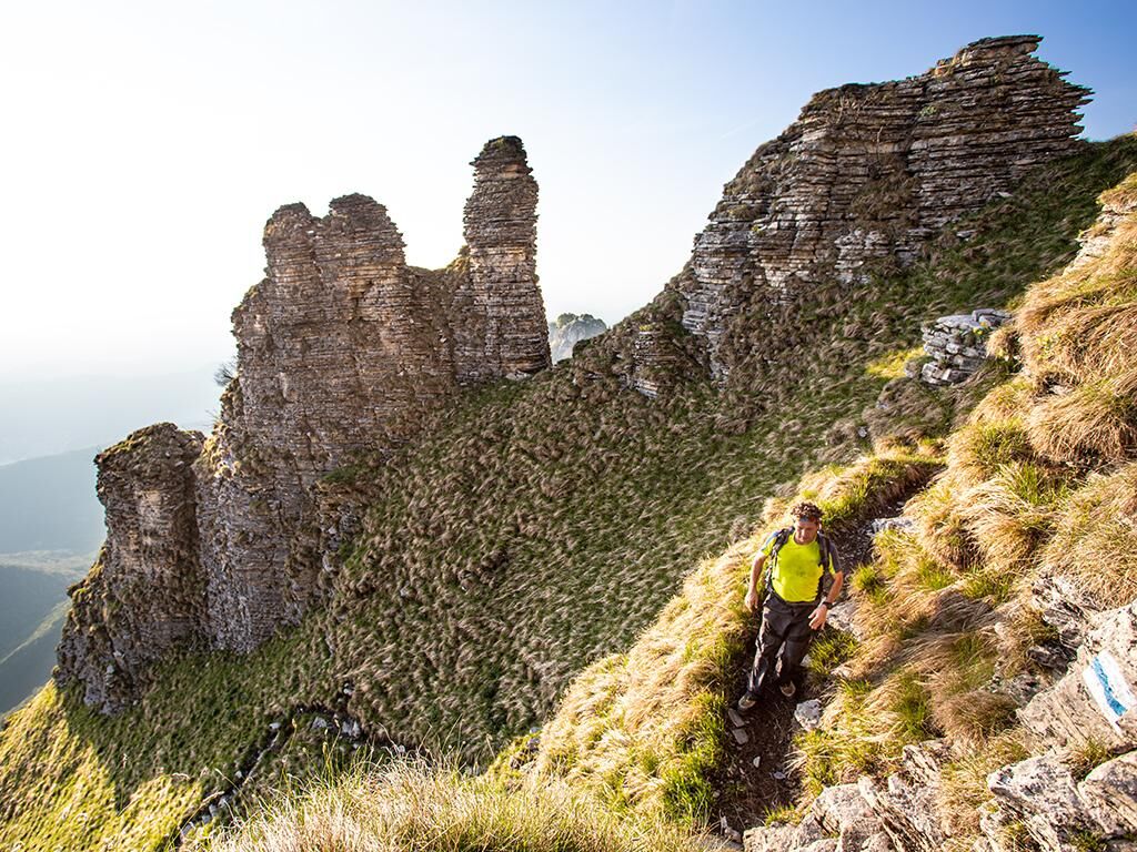
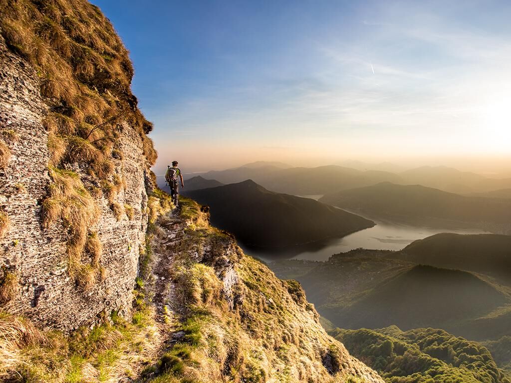
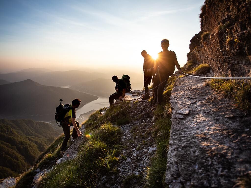
A trail for experienced hikers that starts from Rovio and then climbs, increasingly steeply, to the summit of the mountain, revealing the most alpine and spectacular soul of this mountain. After crossing the village of Rovio, you begin ascending towards Pioda along a cobblestone road, built during wartime, running along the western slope of Monte Generoso. There it is possible to divert and admire the famous Buco della Sovaglia, source of the homonymous river. The white and blue trail, the official alpine track, ascends in switchbacks through dense forest up to the Perostabbio Refuge. From here the trail becomes more demanding and bold, climbing 1200 meters in elevation up to the summit. Descent and return to Rovio by the calmer route via Bellavista and Alpe di Melano (note: from the summit it is not possible to descend the alpine trail back to Rovio). A sure footing and proper alpine equipment are essential. Only for experienced hikers (expect dangerous passages such as climbing sections), not recommended for those who suffer from vertigo. It is advisable to check the weather forecast before departure.


Hiking boots
Cap
Water bottle
Sunglasses
Sunscreen
Hiking map
Camera
Food
White-blue trail (alpine track)
Pridobite vpogled Vedno v živo na mestu z več kot 9.500 spletnimi kamerami. bergfex Kot uporabnik Pro si lahko zdaj ogledate ustrezne spletne kamere za številne izlete v aplikaciji izleti iz. Tako si lahko neposredno ogledate trenutne razmere. 
Priljubljeni izleti v okolici
- 4.5
Sentiero del Monte Generoso (SwitzerlandMobility 635)
srednjaPohodništvo 9.22 km - 4.5
Lenno - Val Perlana
srednjaPohodništvo 11.7 km - 3.0
Bellavista - Monte Generoso
svetlobaPohodništvo 2.60 km - 5.0
Brè - Sasso Rosso - Monte Boglia - Lugano
težkoPohodništvo 11.6 km - 5.0
Denti della Vecchia
srednjaPohodništvo 14.7 km - 5.0
Vetta Monte Generoso - Roncapiano - Muggio
srednjaPohodništvo 6.01 km - 5.0
Vom Restaurant auf den Gipfel (Kulm)
svetlobaPohodništvo 0.58 km - 5.0
Novaggio
svetlobaPohodništvo 8.10 km Scudellate - Erbonne - Alpe Orimento
srednjaPohodništvo 3.58 km- 5.0
Morcote - San Salvatore
srednjaPohodništvo 9.95 km
Pohodništvo in sledenje


Ne zamudite ponudb in navdiha za naslednje počitnice
Vaš e-poštni naslov je bil dodan na poštni seznam.





