







Salzkammer Trail

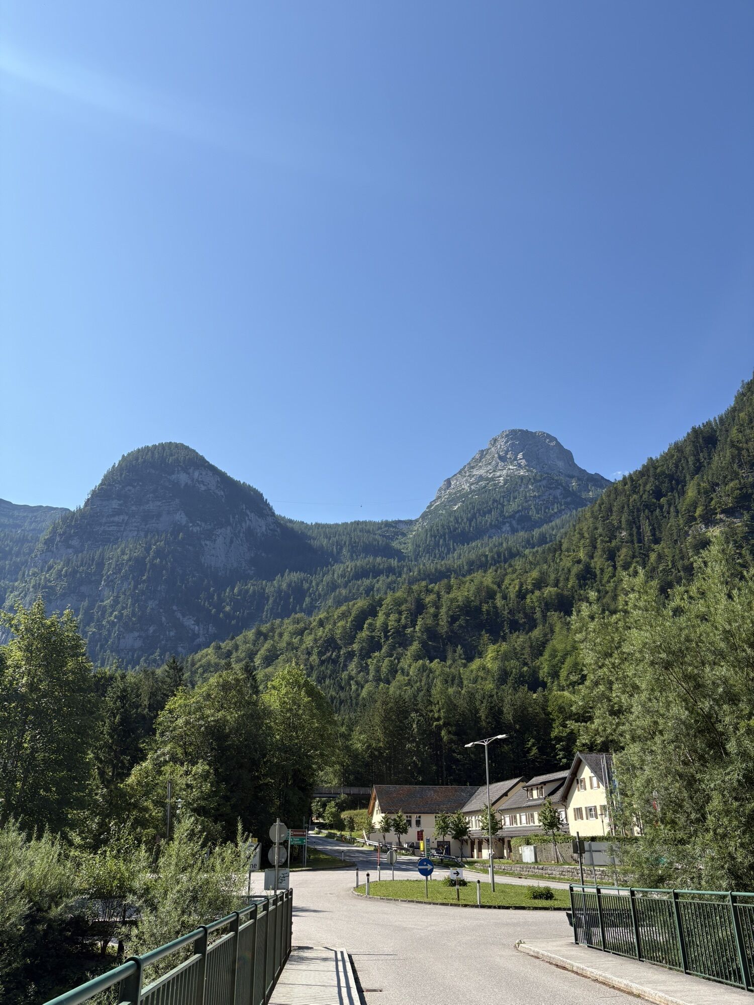
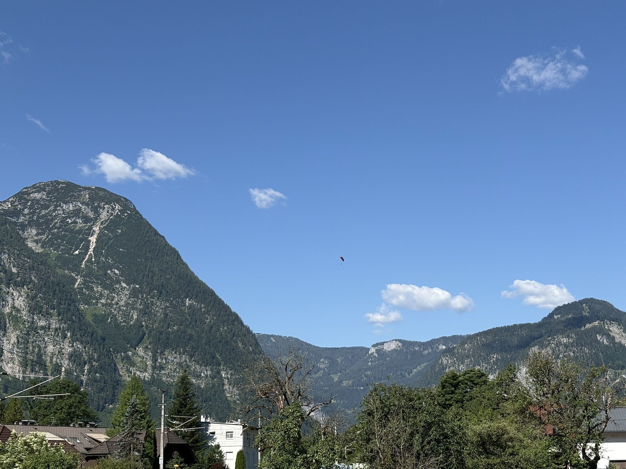
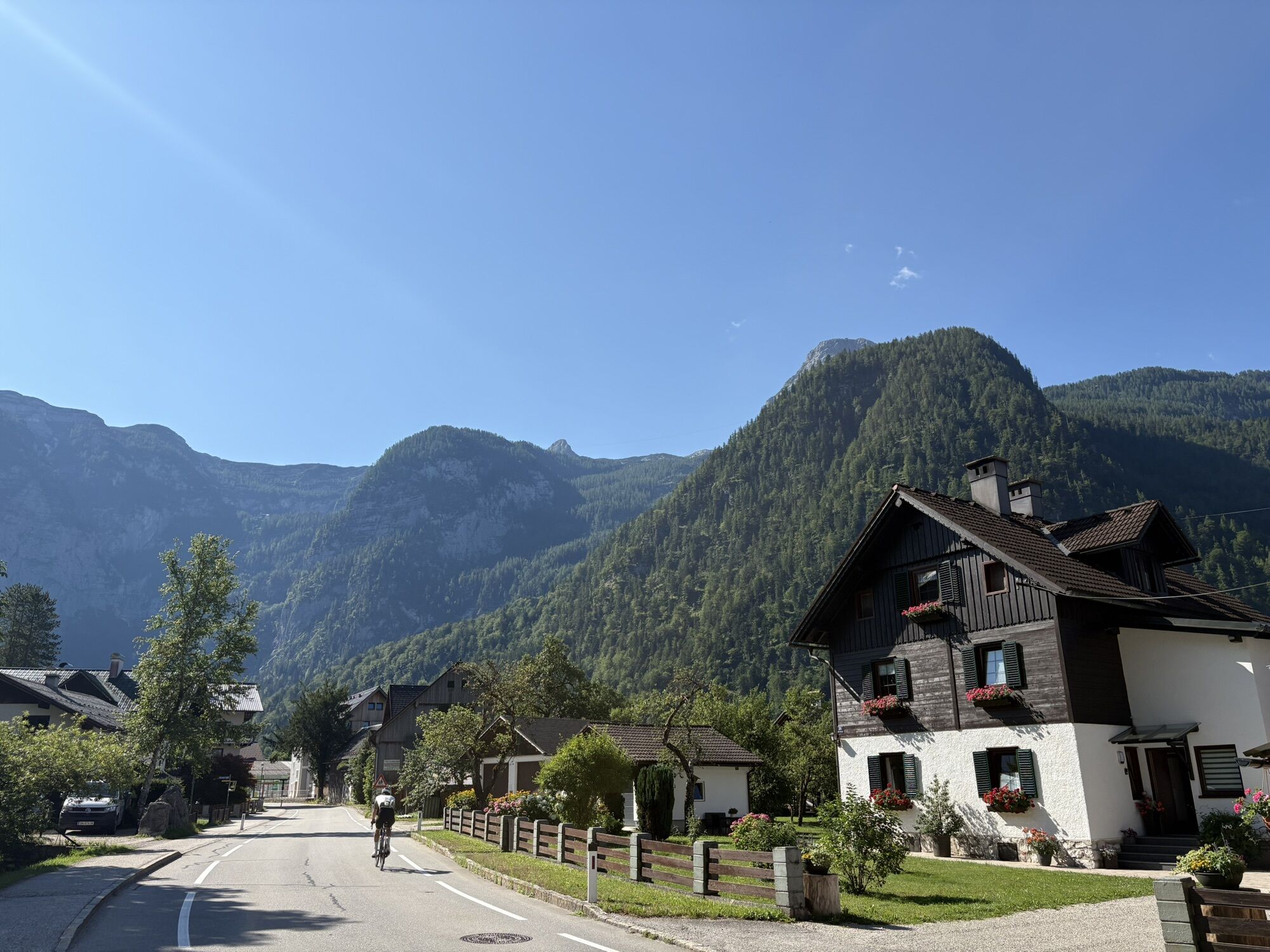
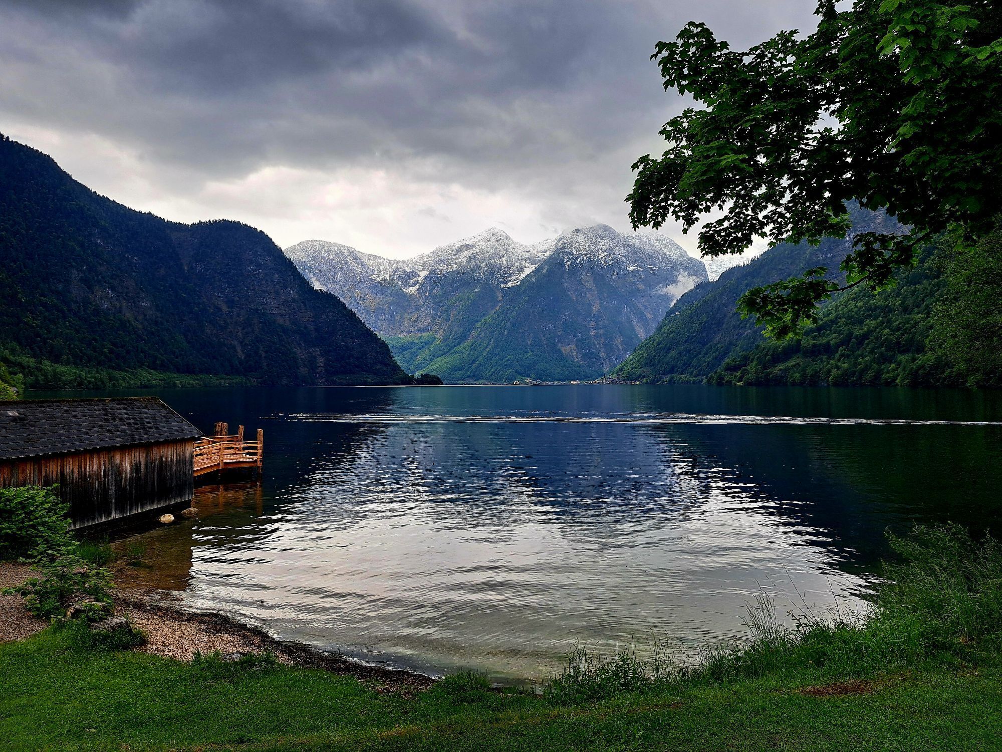
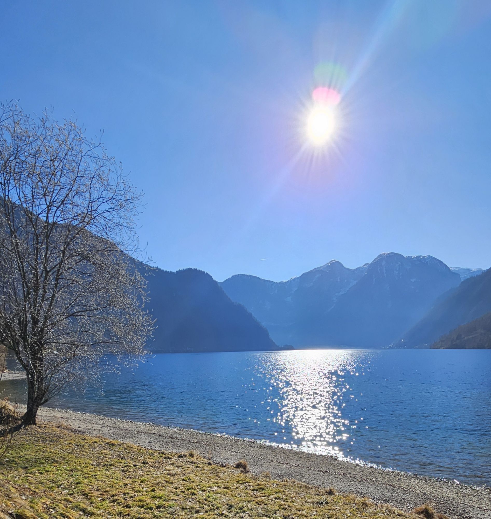
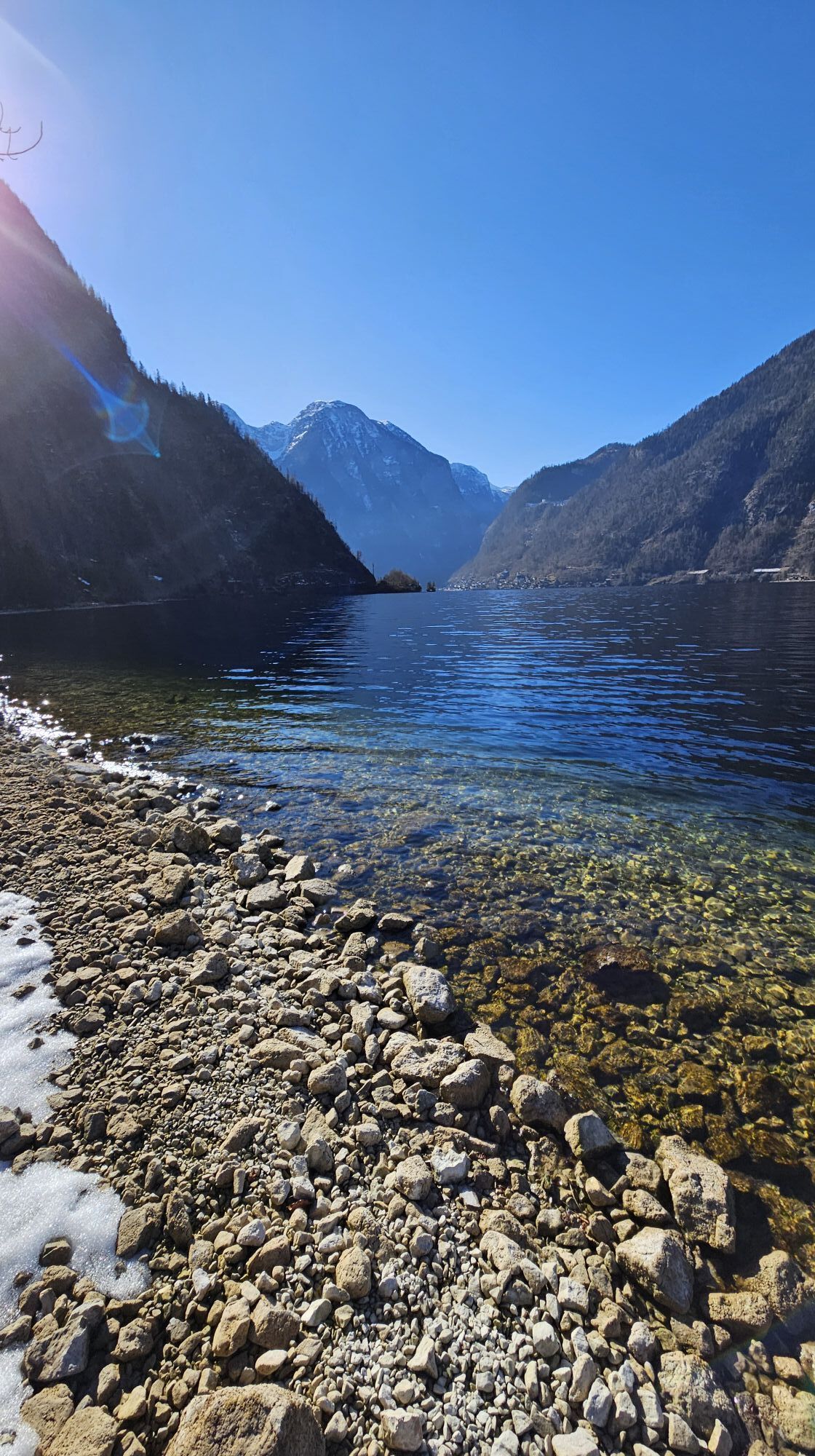
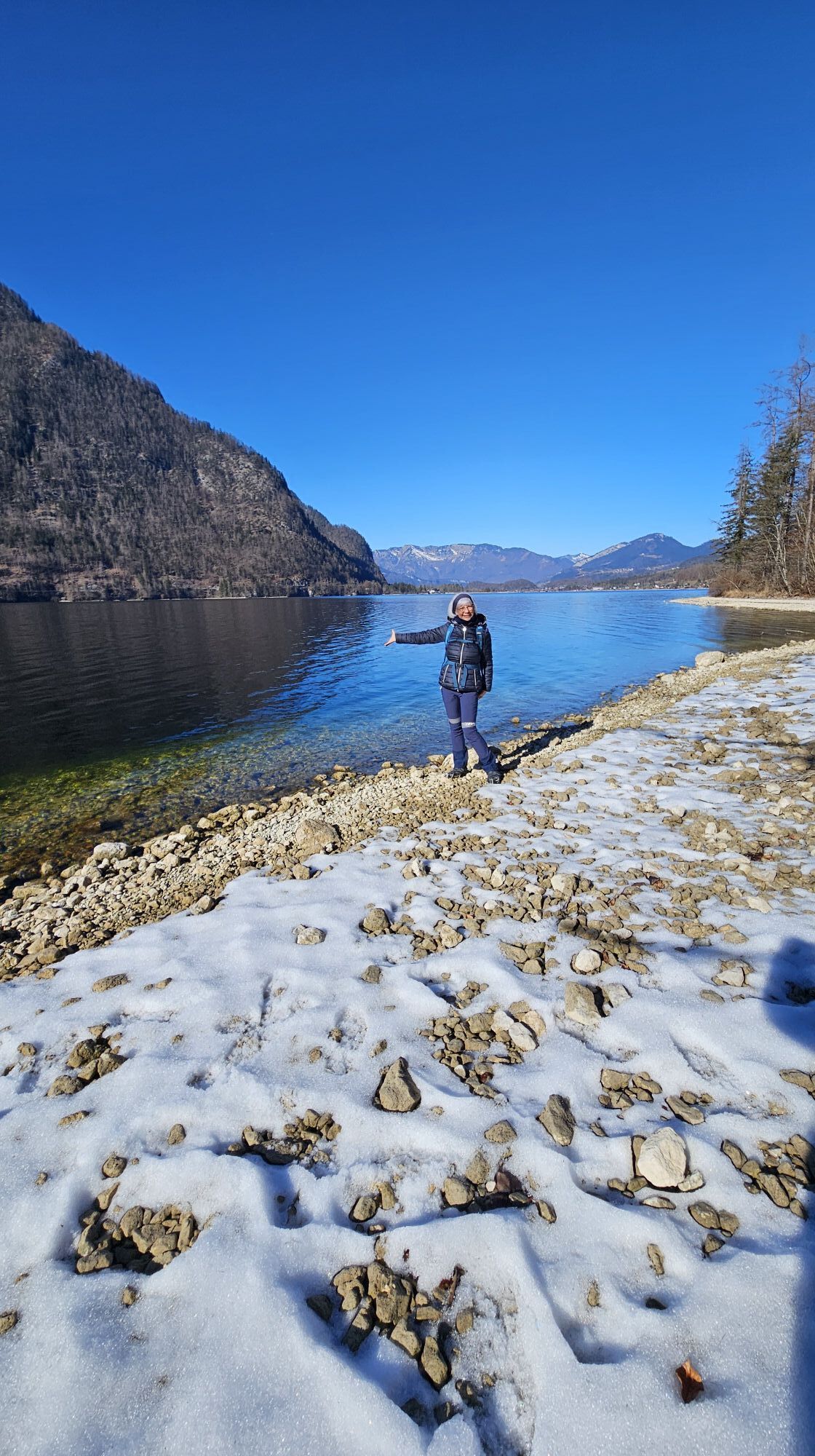
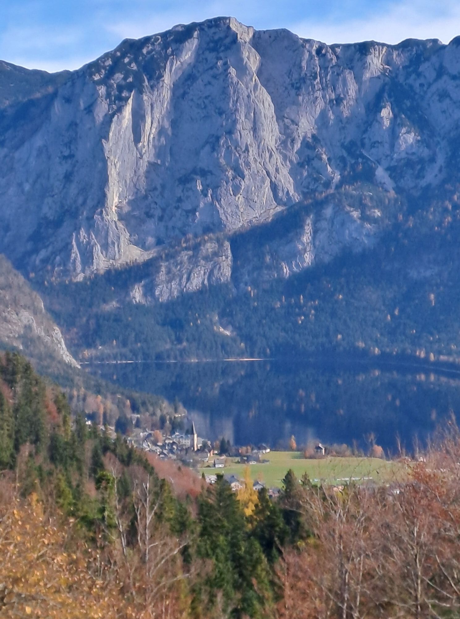
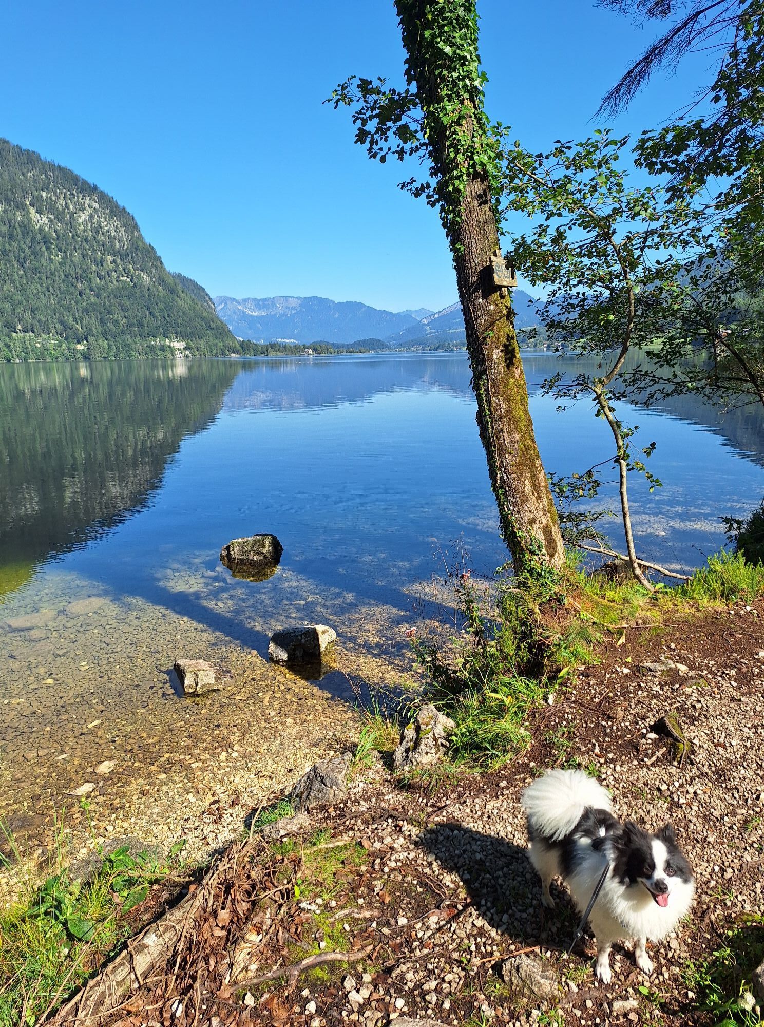
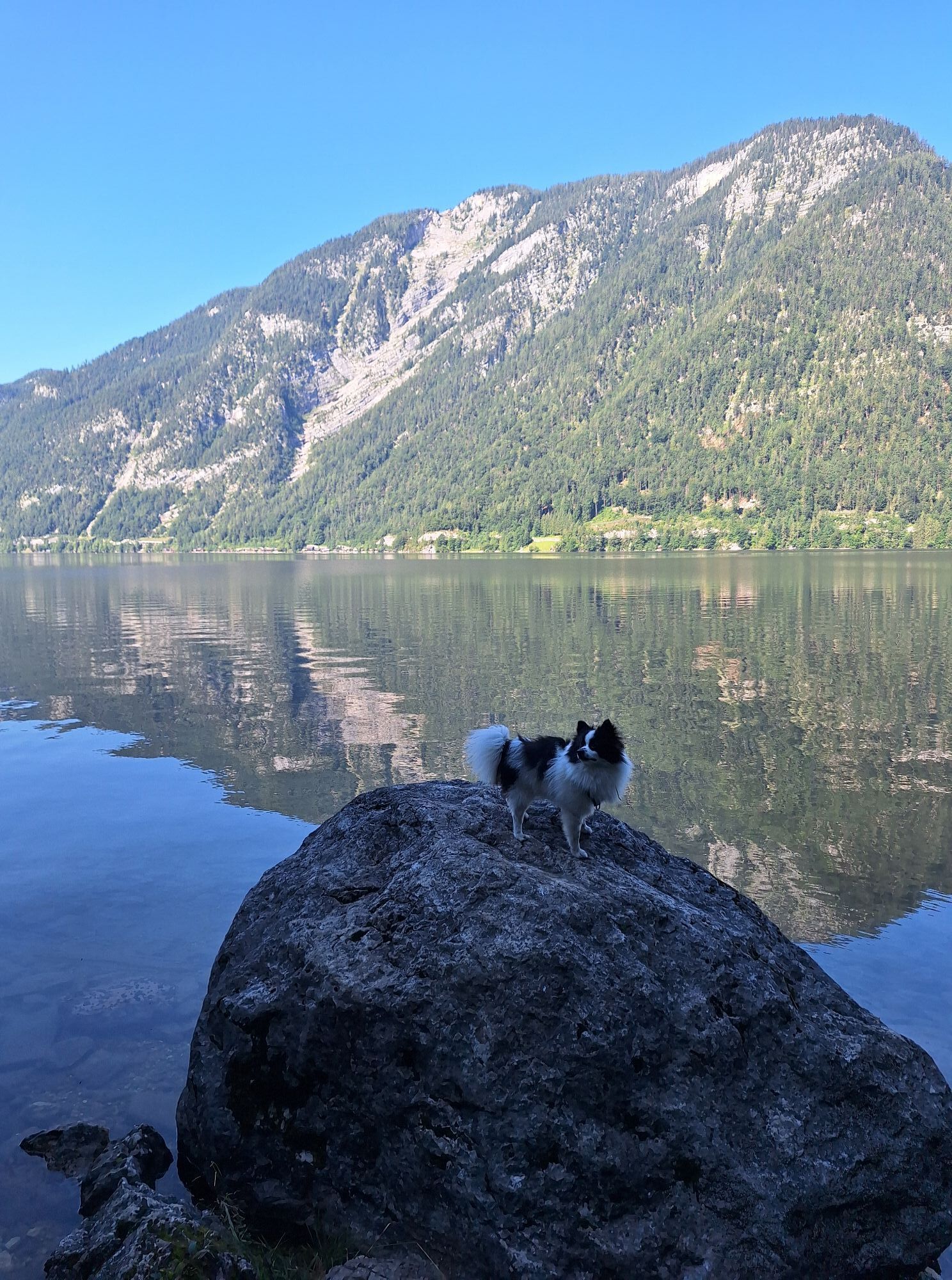
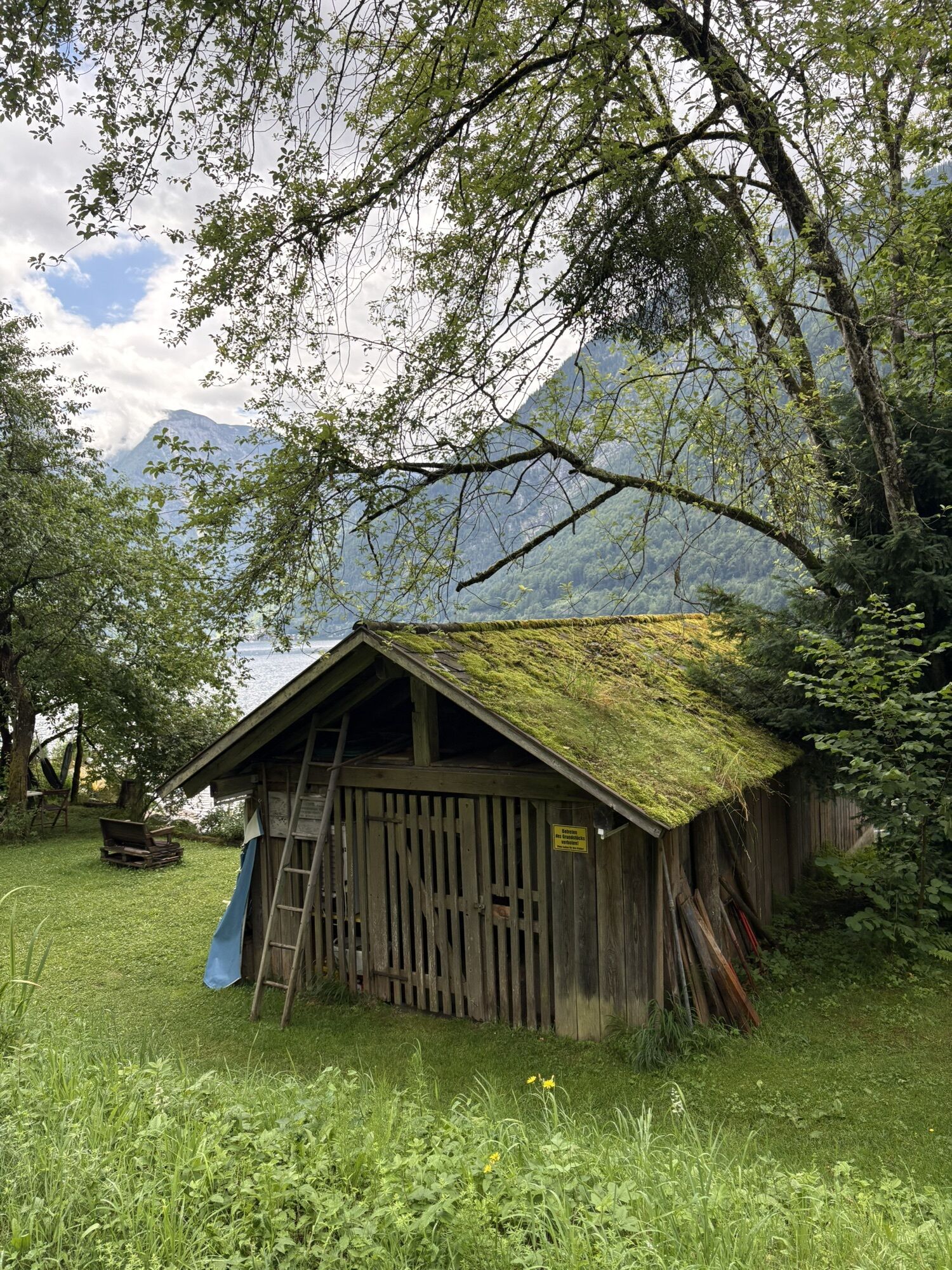
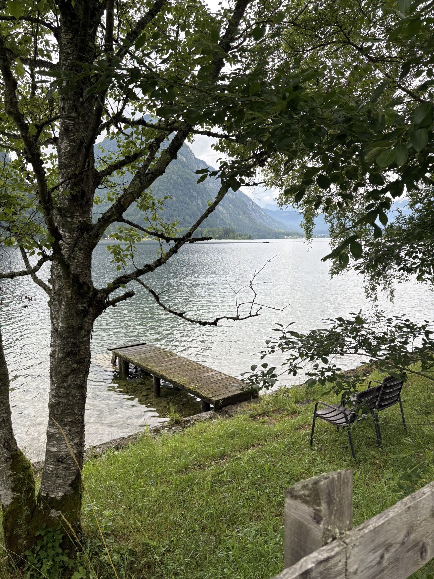
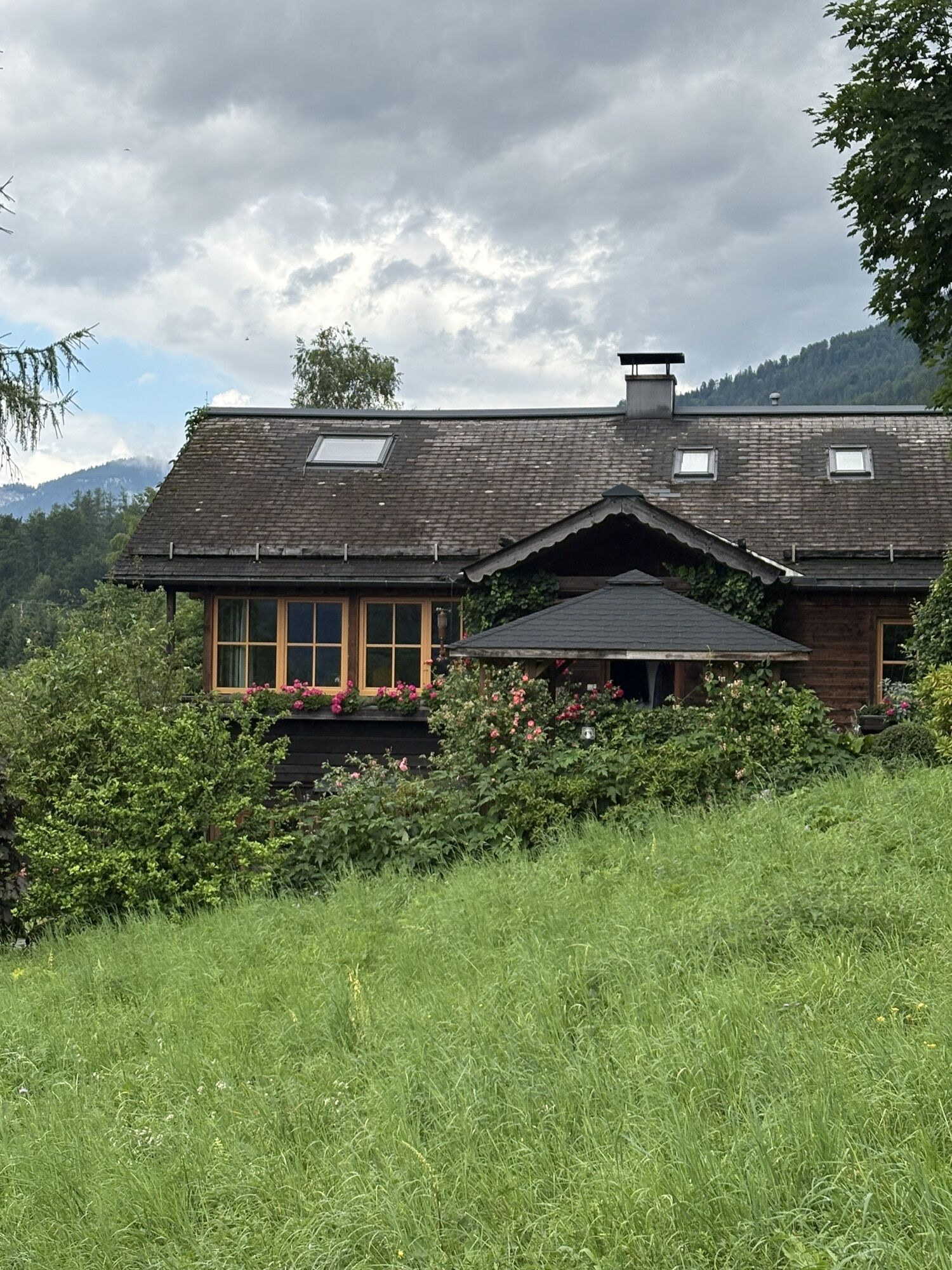
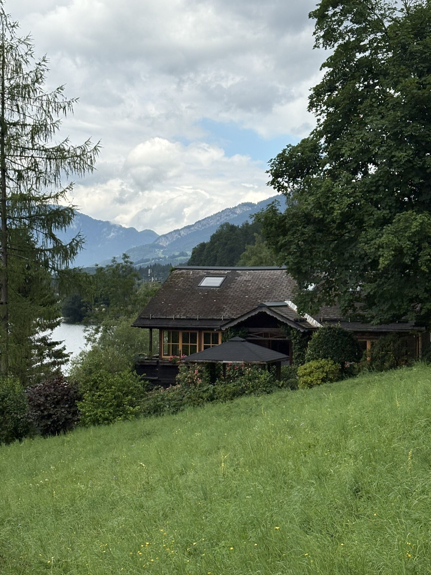
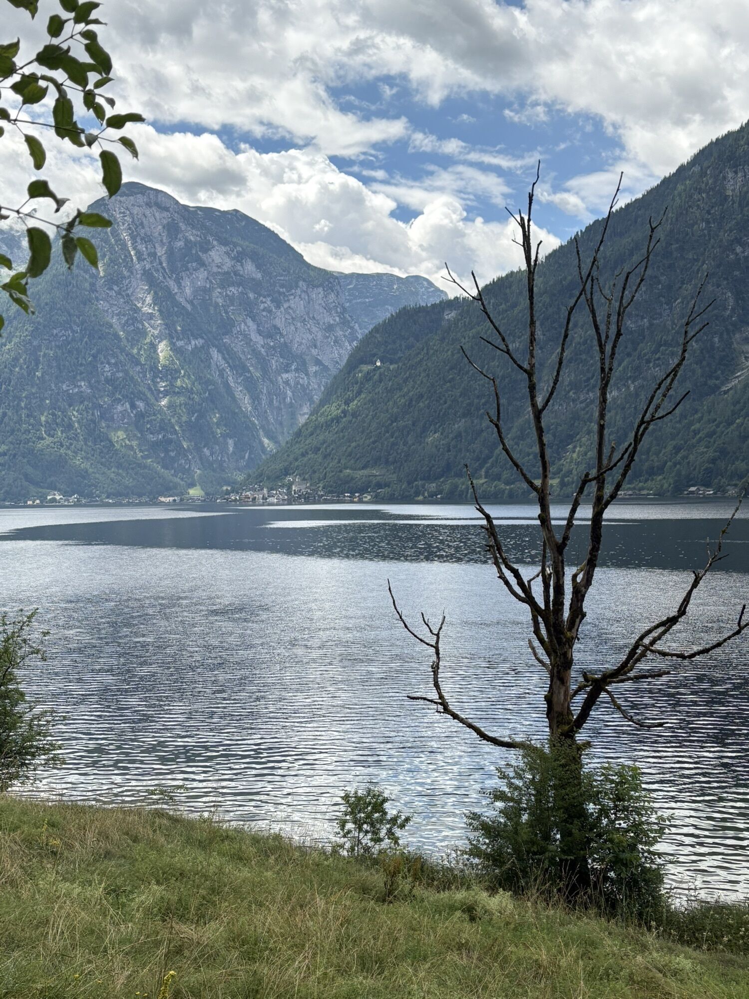
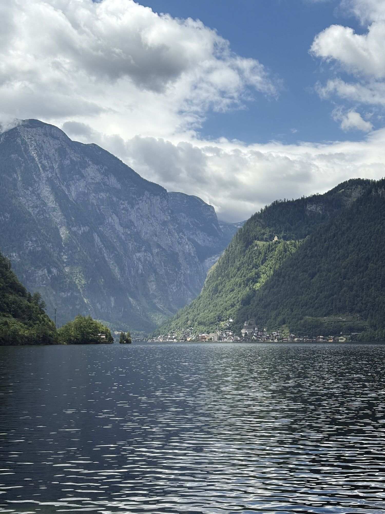



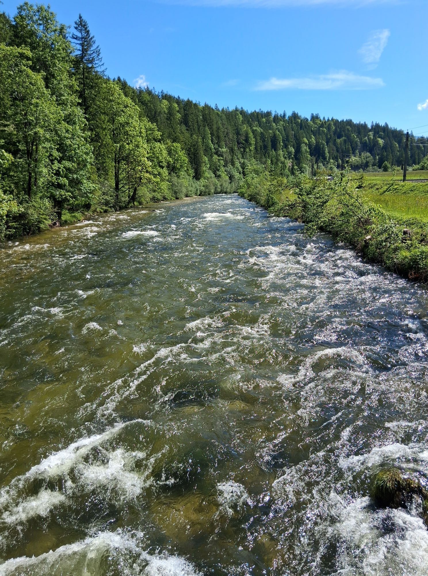
45.5 km long circular trail for the whole family
Since 2004, this circular trail around the Sarstein has been equipped as a continuous theme trail, which you can enjoy in about three days (with the help...
Since 2004, this circular trail around the Sarstein has been equipped as a continuous theme trail, which you can enjoy in about three days (with the help of rail, bus and boat, it can also be done in individual stages).
Its five stages:
the Koppenvalley Trail from the inn Koppenrast in Obertraun to the Lake Sommersberg,
the historical salt road to the "Waldgraben",
the "Römerweg" to Kriemoos,
the "Goiserer Almweg" to Au,
the World Heritage trail via Obertraun to the inn Koppenrast.
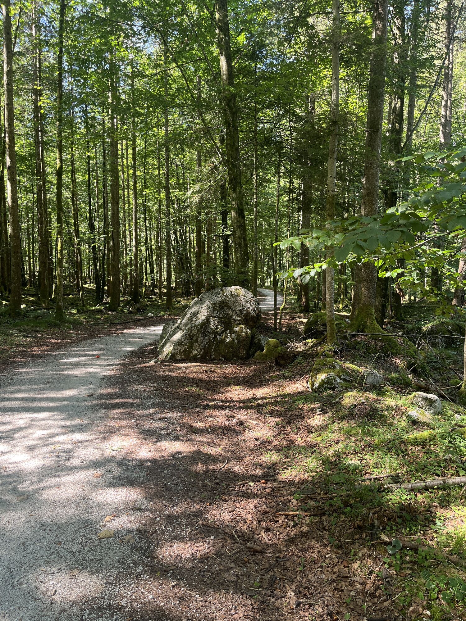
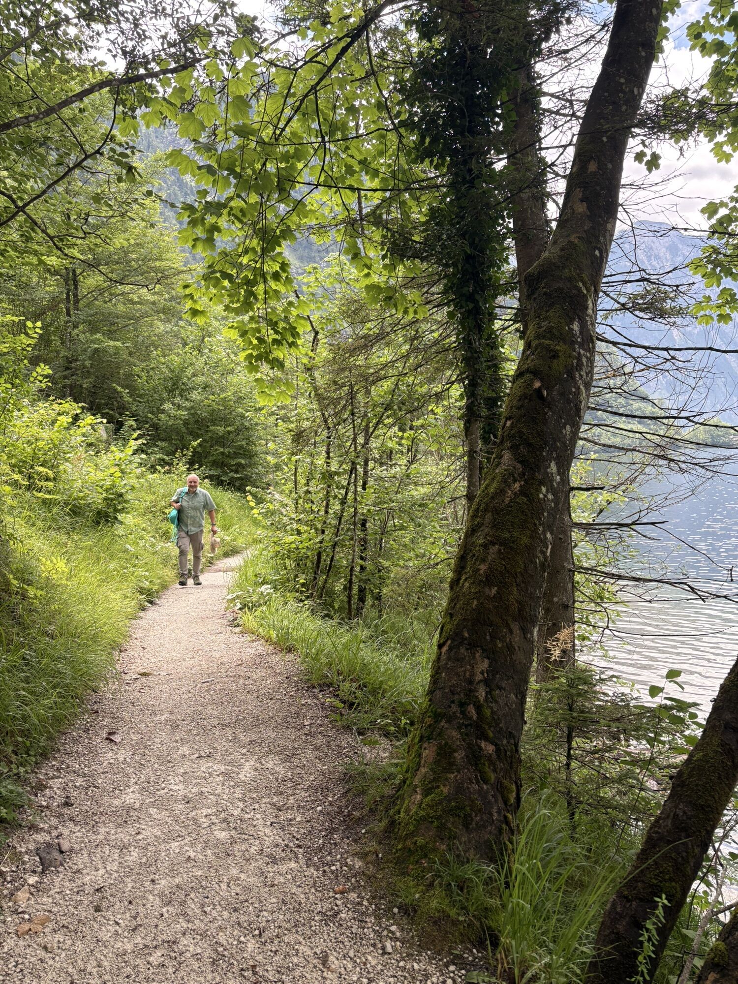
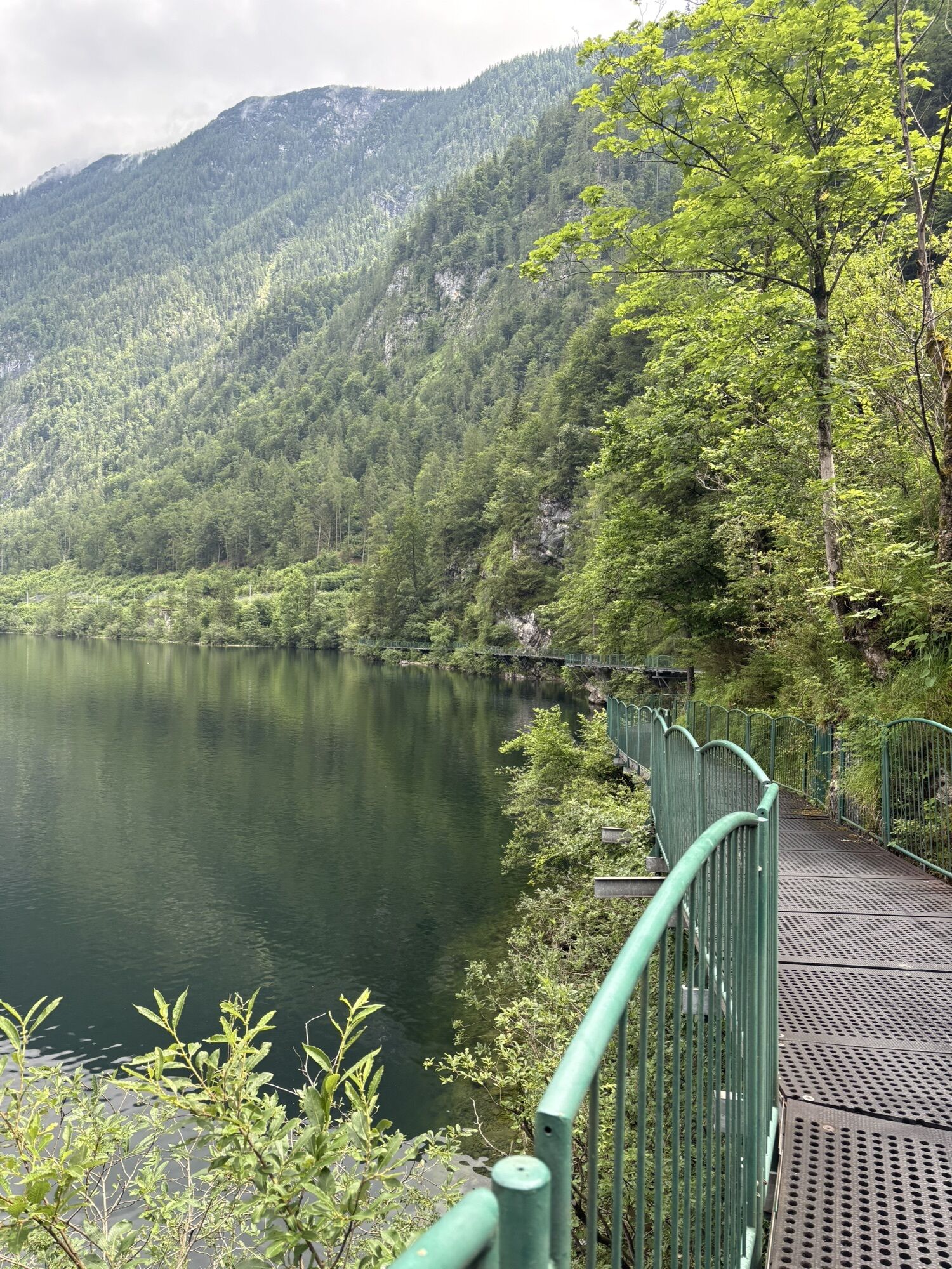
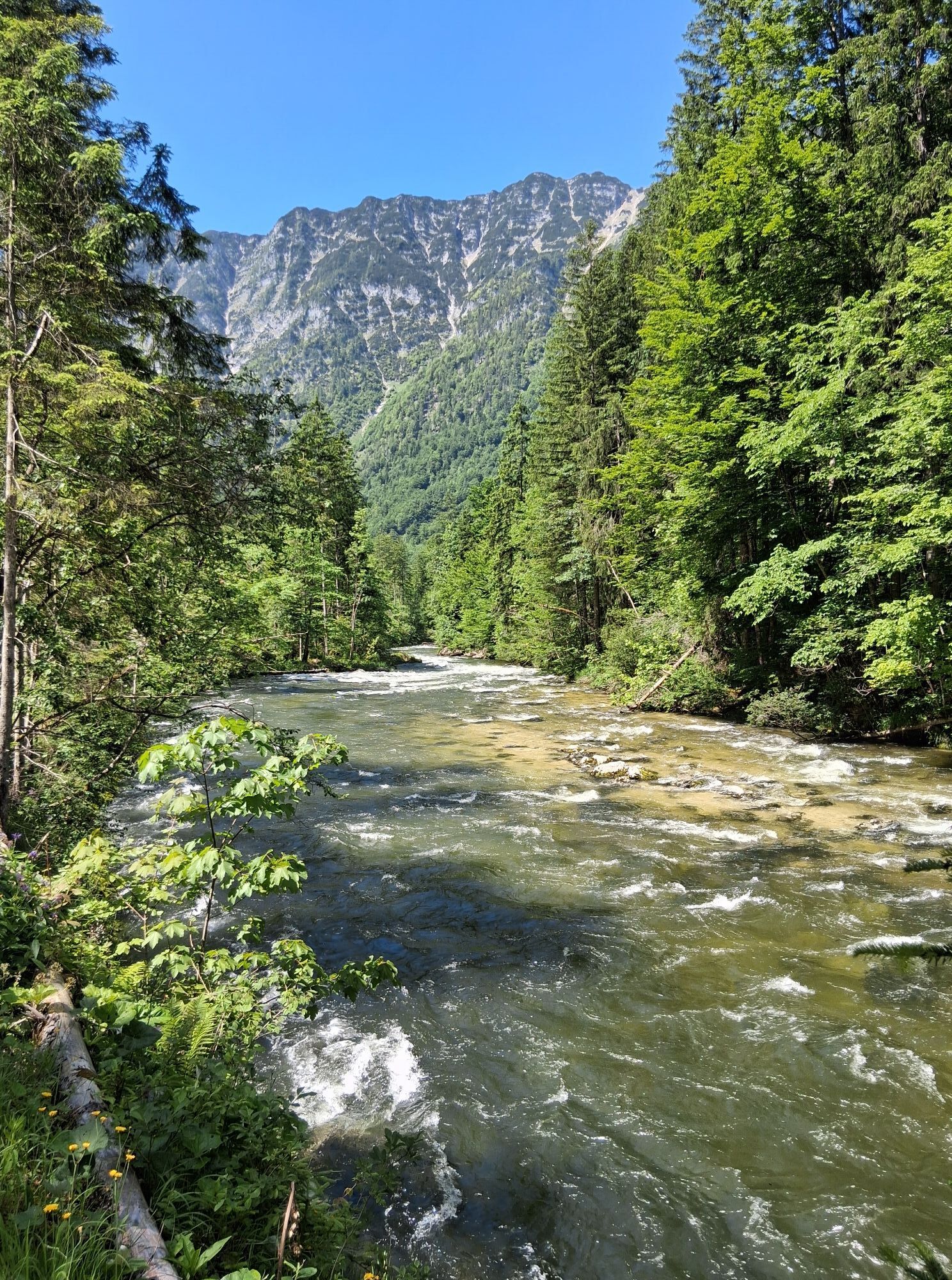
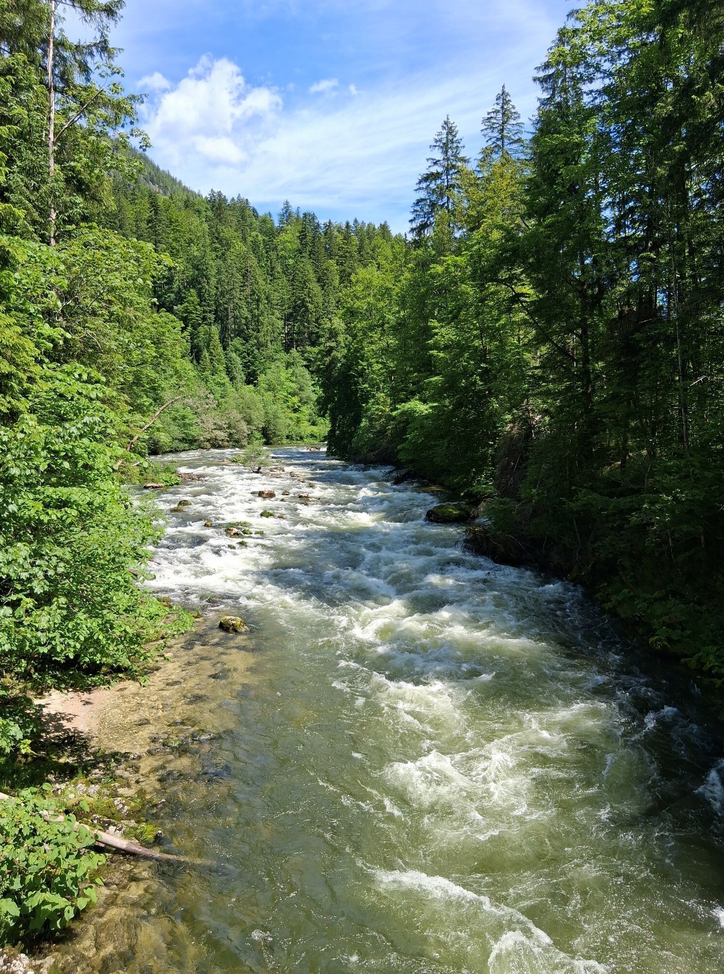
The trail runs mostly on shady forest paths and easy hiking trails; some passages on the eastern shore of the Lake Hallstatt are secured with solid railings. The original listening stations along the way are particularly interesting.
Start/end point:
several entry points - inn Koppenrast, railway station Bad Aussee, Tannenwirt, Altaussee-Kösselgrube, Flohwiesen, St. Agatha, railway station Hallstatt, Obertraun.
We start our description at the inn Koppenrast:
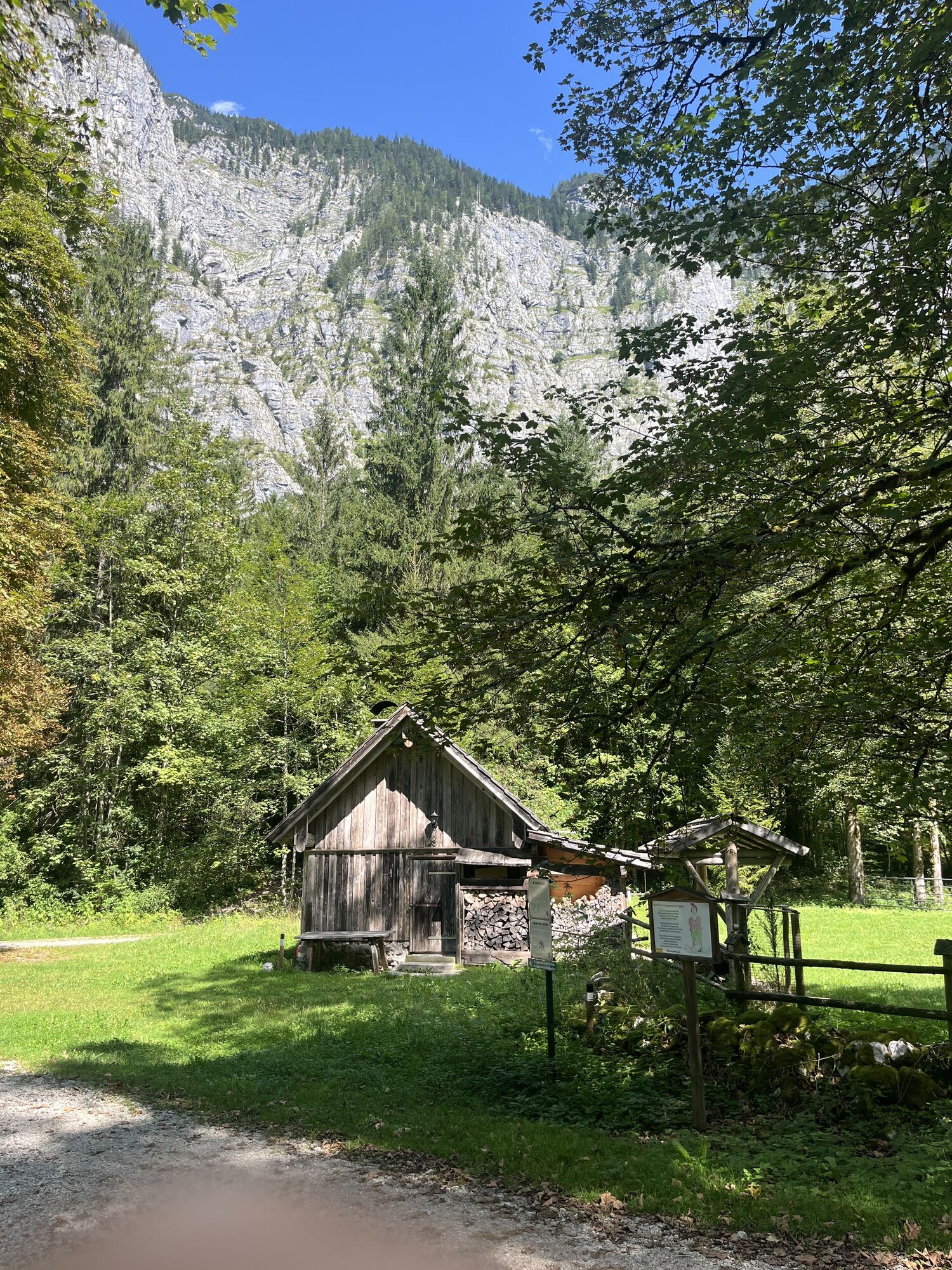
First you hike the Koppenvalley Trail to the Koppenbrüller Cave near Obertraun. Turn left before the Koppenbrüller Cave and follow the trail to the "Schutzhütte Koppental" (snack station). Then you continue to the rope bridge and in serpentines uphill and on the forest road turn right into the village Sarstein.
If you would like to end or interrupt your tour in Bad Aussee, hike from there down to the "Austeg" and next to the Traun river into the valley to the railway station Bad Aussee. If you start your hike on the Salzkammer Trail there, then walk in the opposite direction.
Continue on the asphalt road for a short while in the direction of Bad Aussee. At the next fork in the trail, turn left following the mountain bike signs for the "Dachsteinrunde" and then follow the paths up into the forest. After crossing a stream, you come to a water reservoir on an asphalt road, where you turn left to the nearby Lake Sommersberg.
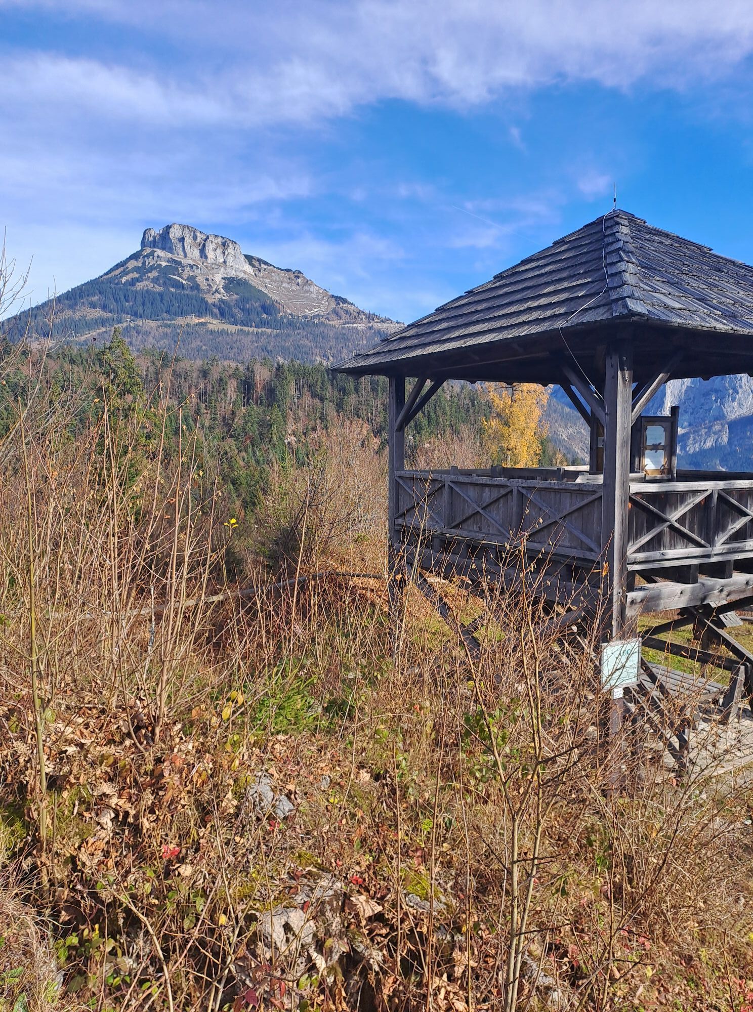
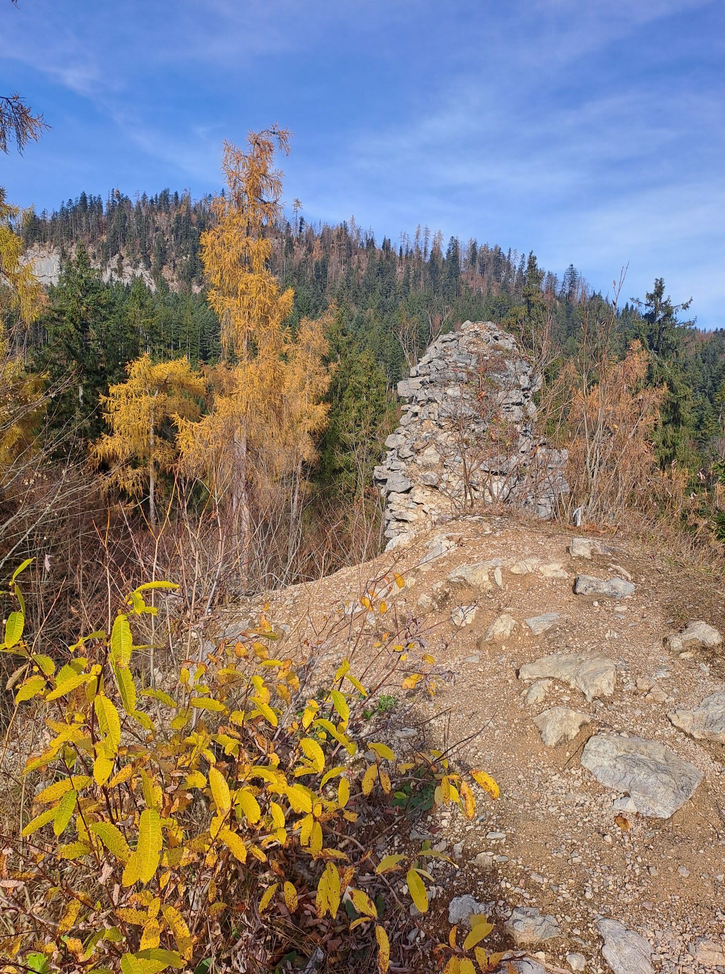
The path continues to the "Alpine Garden" and the inn Tannenwirt next to the Pötschenpass road. Here you turn left and continue along a forest path until you come down to the road on the right. Cross the road, march along the road briefly down to "Lupitschbach" and then via "Klaus" up to the village of Lichtersberg. Follow the signs to the waterfall and through the forest to the castle meadow. A short detour to the Pflindsberg ruins (observation tower) is worthwhile! The access path from Altaussee also leads here.
Now follow the signs to "Via Salis" and hike along the forest road to the west through the "Langmoos", where you continue straight on at the fork in the Via Salis. You will reach a crossroads: turn right and then immediately left to "Waldgraben". Here a forest path branches off to the right, where you come to a path and across a footbridge to the forest road. Go left and further down to a left turn.
Now follow the mountain bike signs to the right, follow the "Michelhallbach" (stream) and reach another forest road, where you continue your tour towards "Haller Alm". After about 600 m turn right onto a marked forest path which leads you through the area of the "Oberleislingalm" (mountain pasture) to the "Flohwiesen". Continue along the asphalt road briefly uphill to the right, then left to the "Steinhüttenalm" and below the Schwarzenbachloch (detour on the tolerance trail to this karst spring) - to the path that leads down from the "Hütteneck". On this path turn left into "Kriemoos".
Now follow the "Goiserer Almweg" along the road to Rehkogl and then straight on across the crossroads. Continuing downhill you reach Kogl and Herndl, where you turn left to walk down to St. Agatha near Bad Goisern. From the church you now walk through Reitern to the main road in Au.
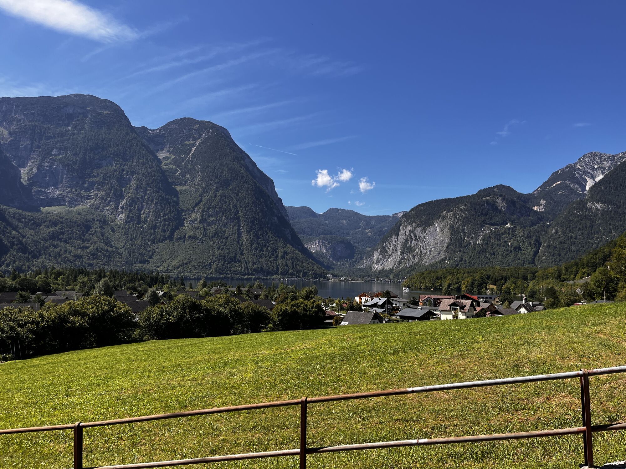
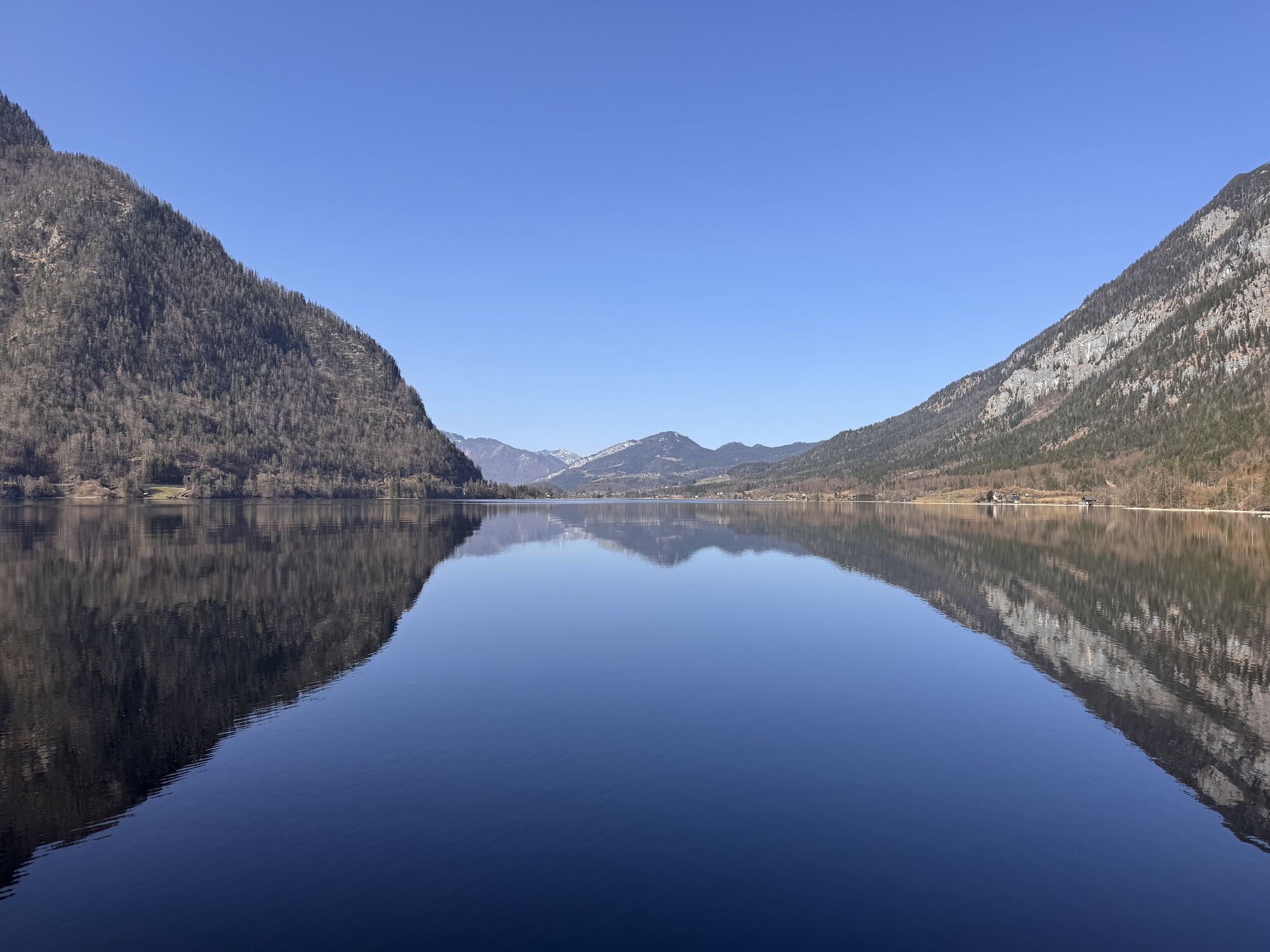
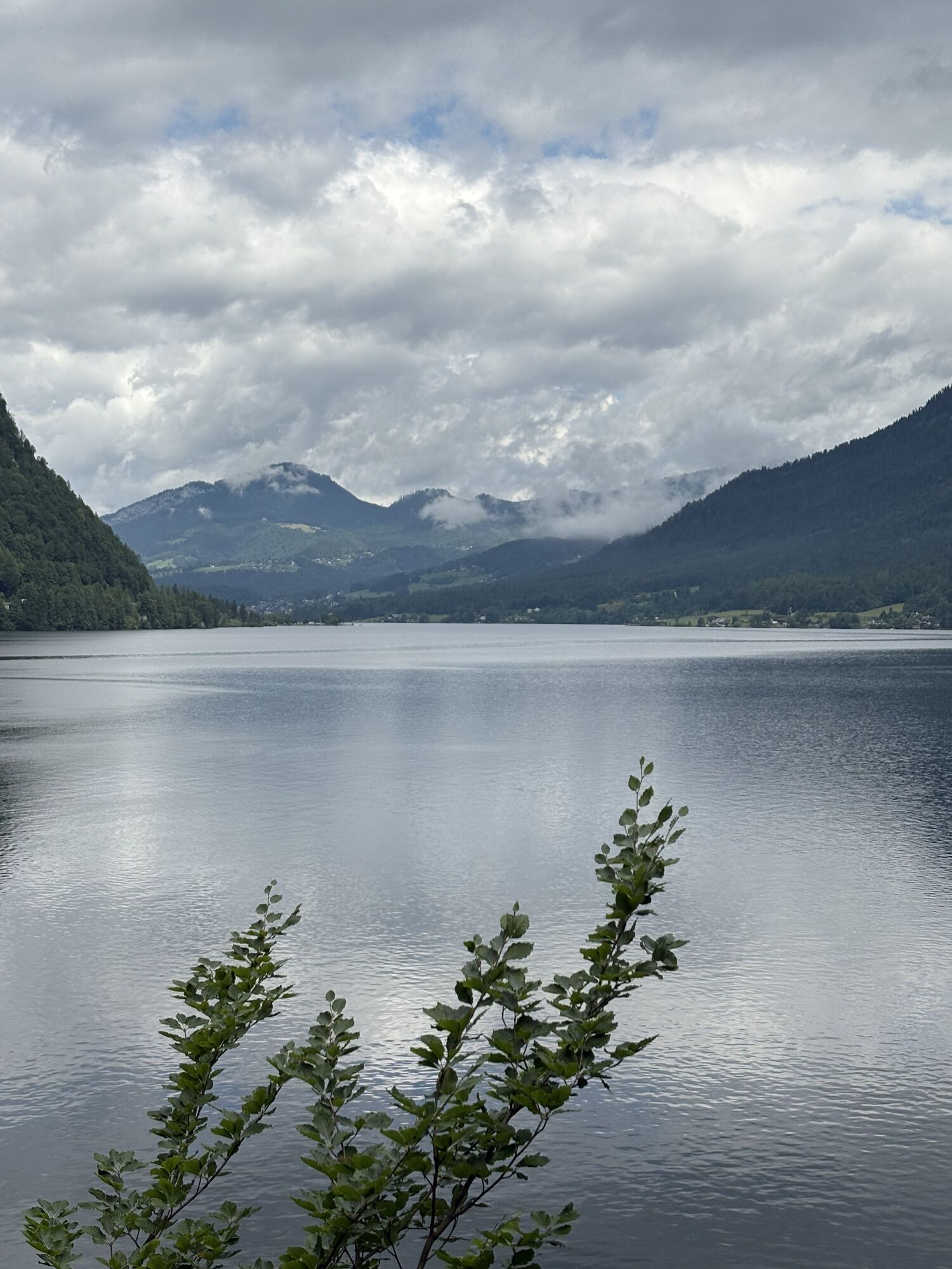
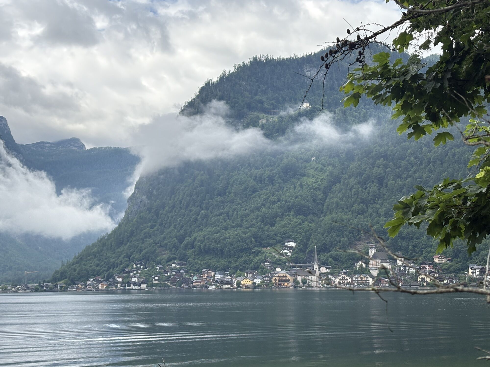
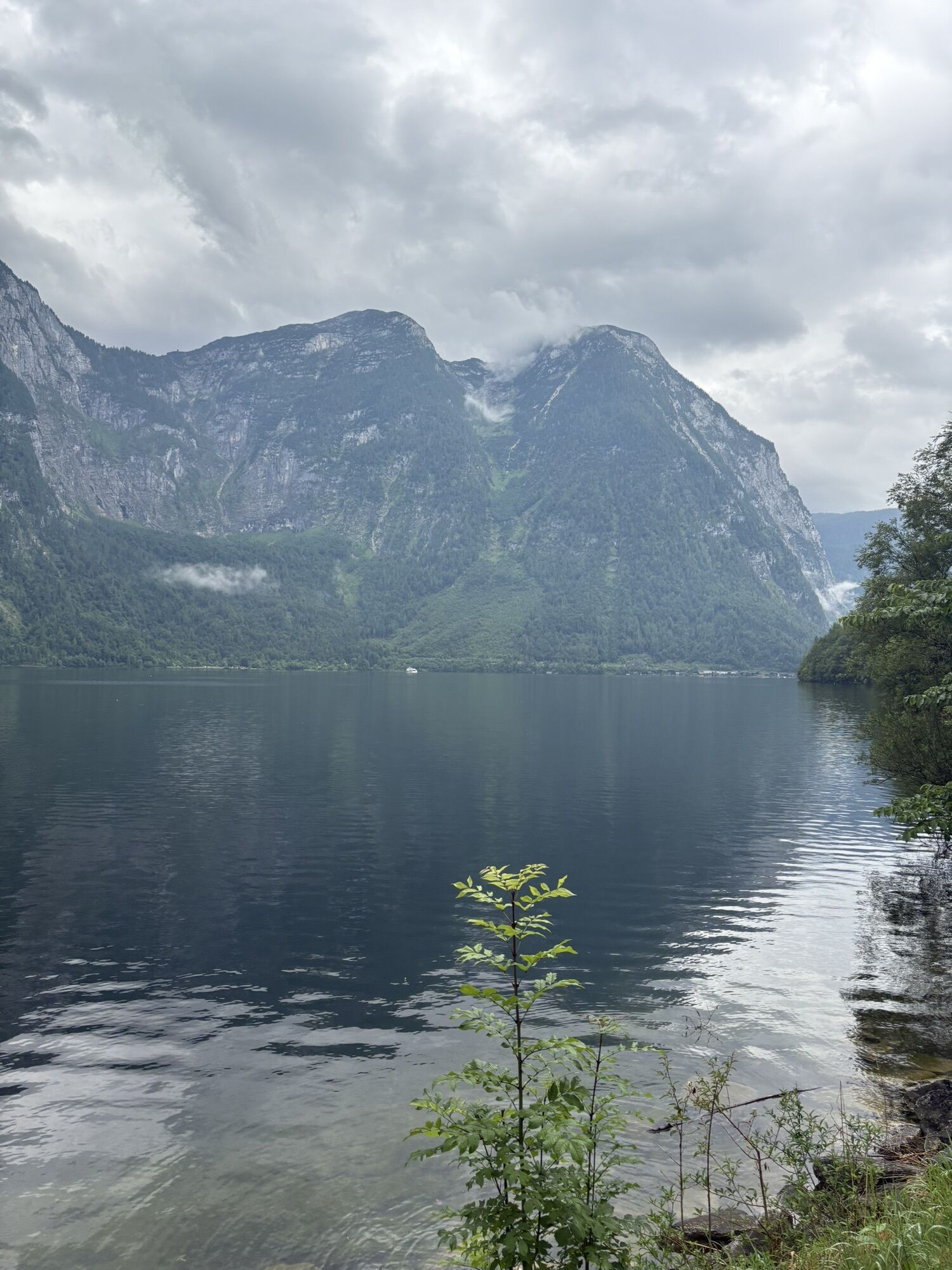
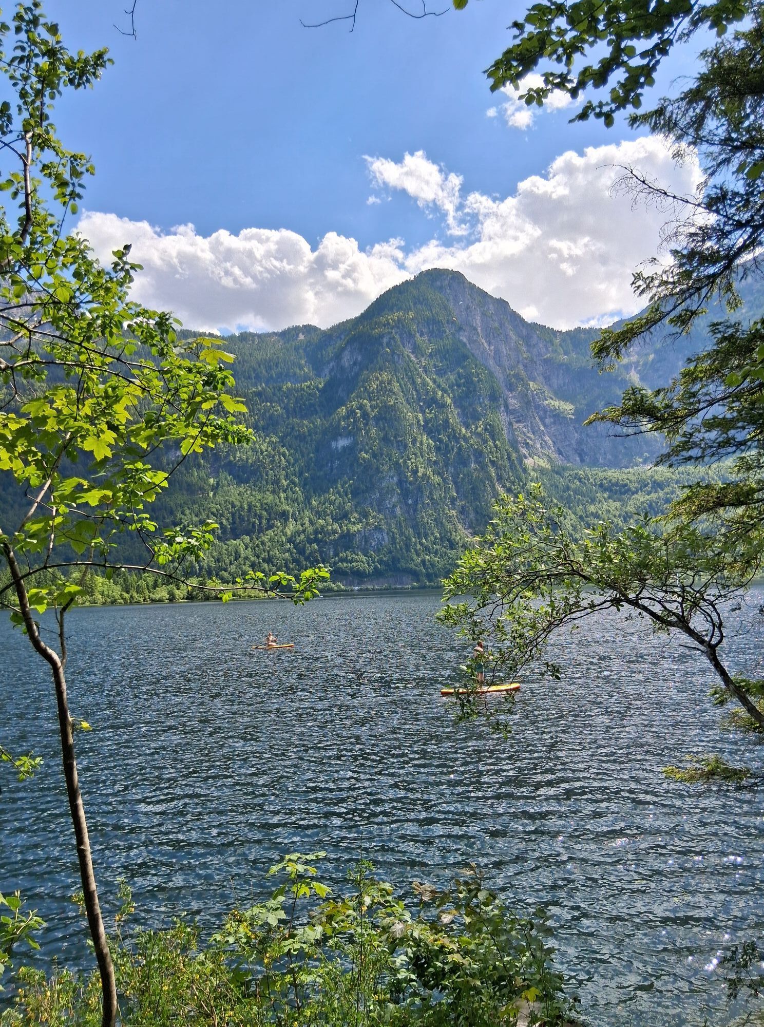
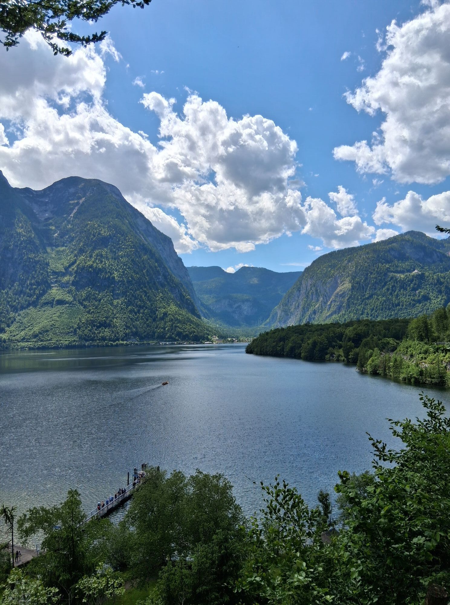
The last section of the Salzkammer Trail, which you could also start in nearby Bad Goisern at Lake Hallstatt, is under the motto World Heritage. Walk a few steps to the left along the road towards Lake Hallstatt, turn left into Arikogl street shortly before the railway crossing (access from railway station Steeg-Gosau) and follow the East bank trail at Lake Hallstatt. The path runs along the asphalt road to Obersee and then along a path next to Lake Hallstatt to the inn "Uferwirt Seeraunzn" (below Obersee railway station), continuing up and down along the shore of Lake Hallstatt to the start of the wooden footbridges, with magnificent views of Hallstatt and the Dachstein.
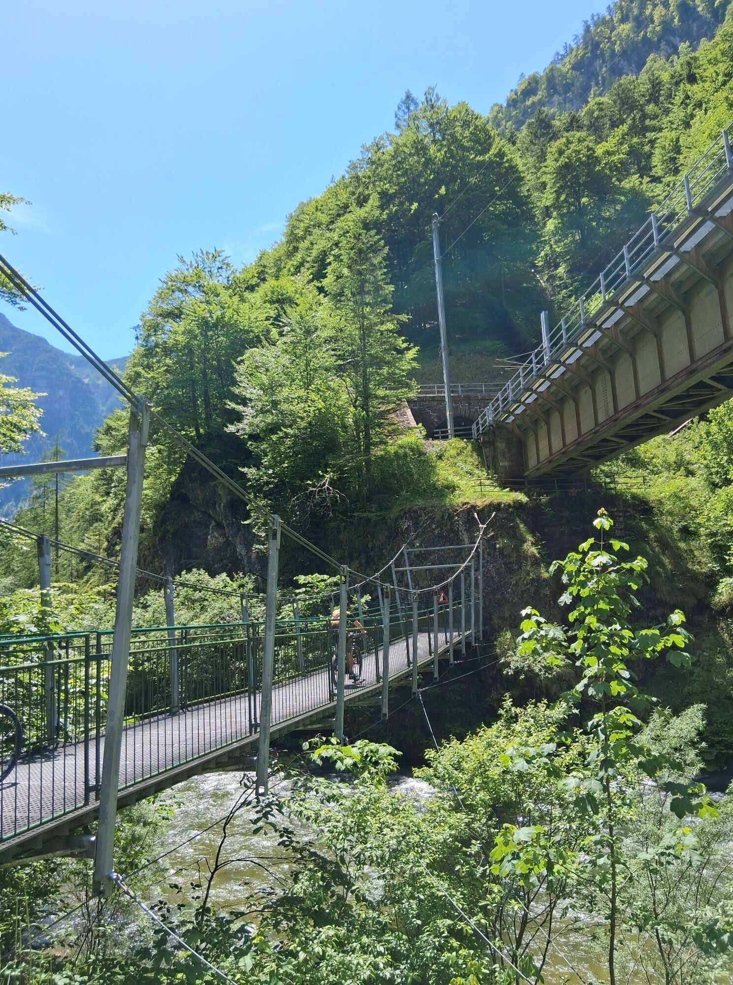
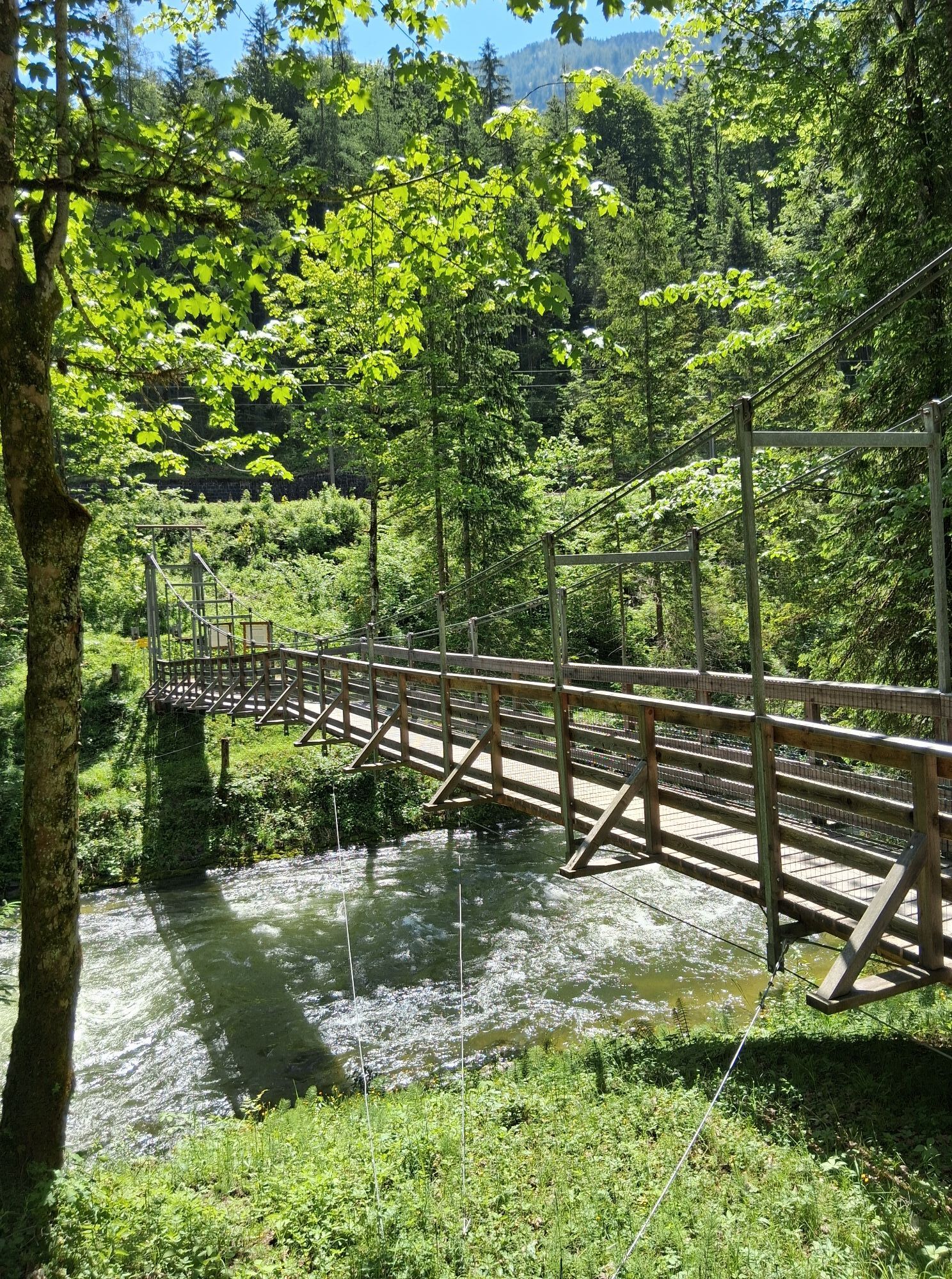
Below the large railway bridge, a rope bridge near the lowest point of Lake Hallstatt takes you to the Hallstatt railway station (boat connection to Hallstatt). Below the large railway bridge, a suspension bridge near the lowest point of Lake Hallstatt takes you to the Hallstatt railway station (boat connection to Hallstatt). Continue along a wider path to Obertraun. You pass the railway station Obertraun Dachsteinhöhlen and reach the municipal square Obertraun. From here following the Höll-Karl-Weg over the railway line, past the sports field and on the Köhler Bridge over the Traun. On the left you will come to the former inn Dachsteinhof. From here you can reach the valley station of the Dachstein Krippenstein cable car in a 15 minutes walk, which takes you comfortably to the famous Dachstein Caves and to the Dachstein Krippenstein.
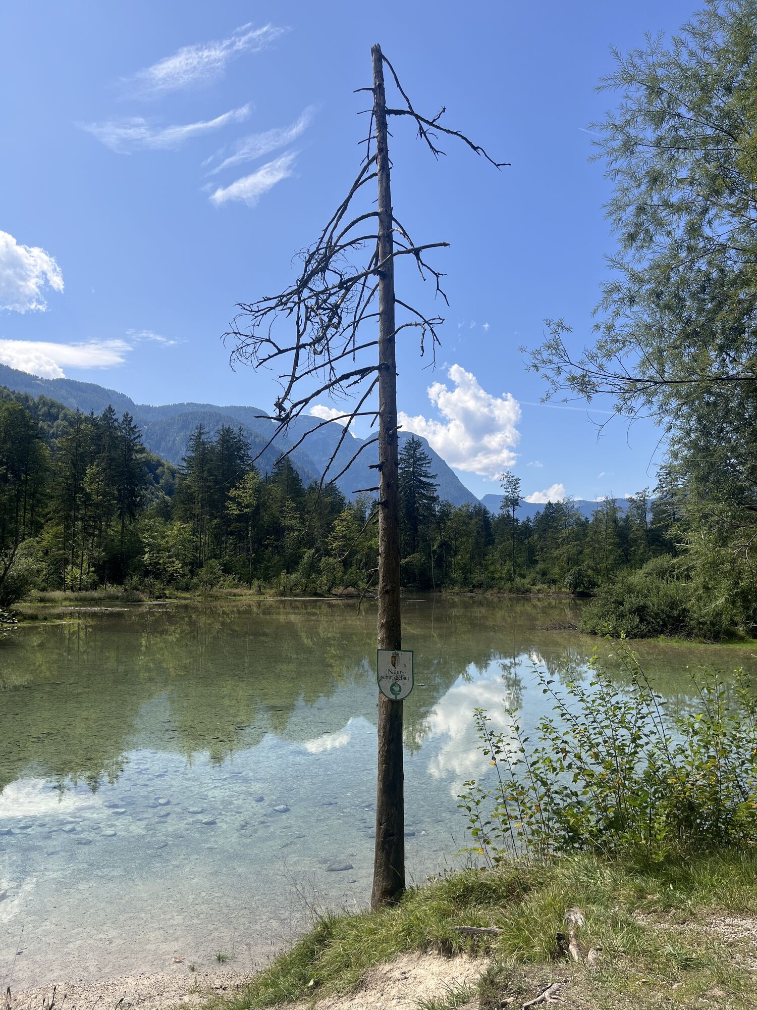
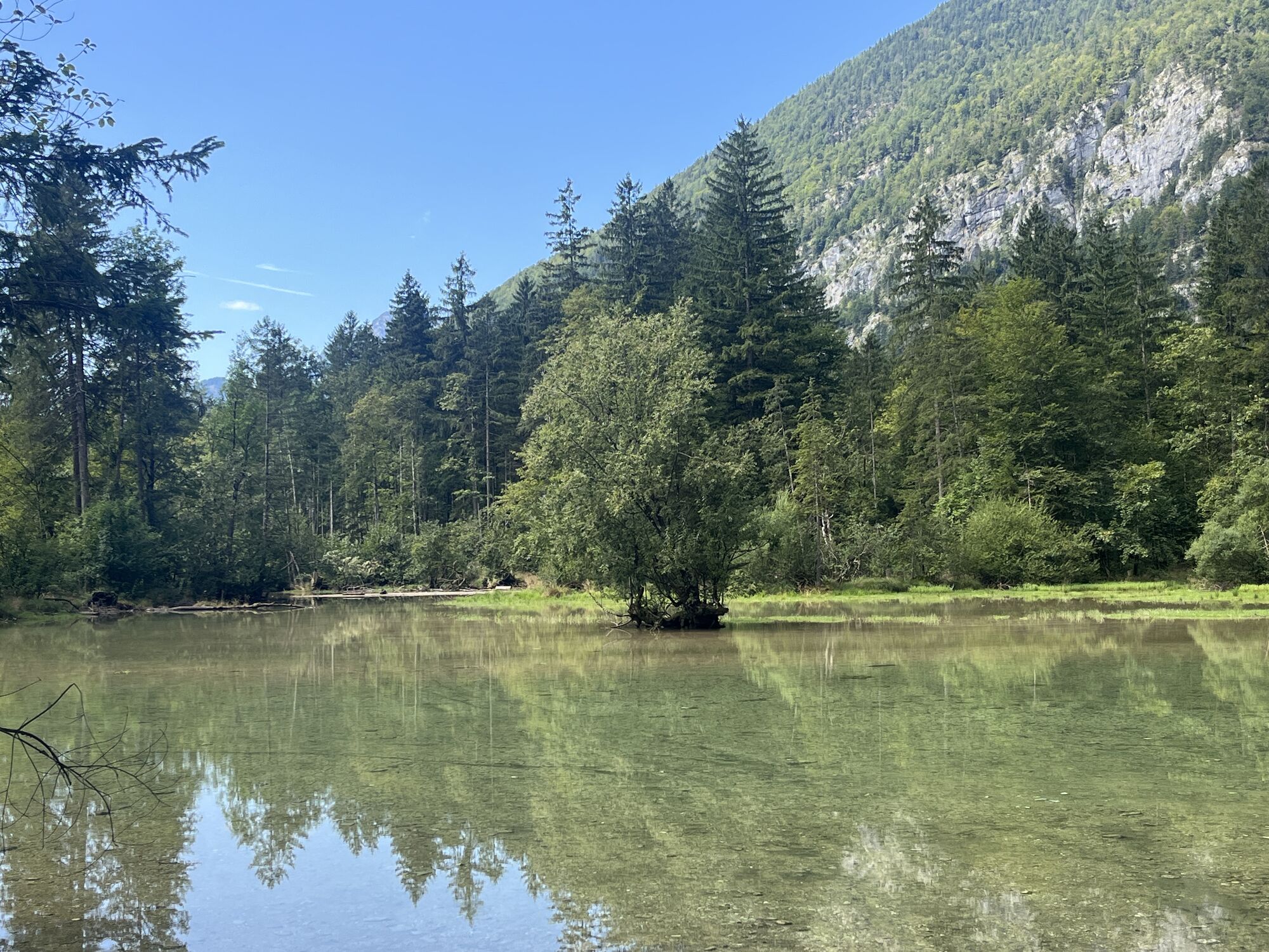
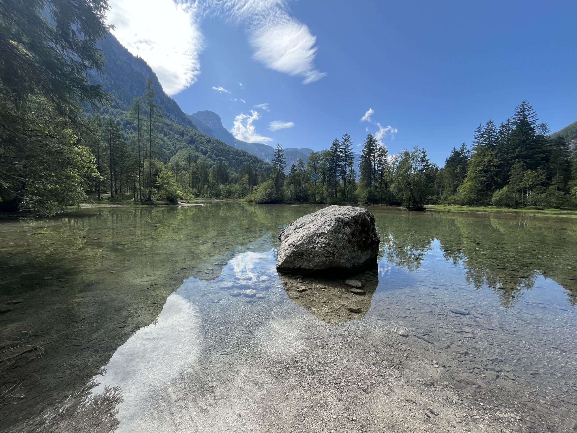
However, the Salzkammer Trail continues to follow the Traun. From Ebnersteg you hike into the Koppenwinkl, crossing two karst streams. The trail will take you back to nature reserve Lake Koppenwinkl. Finally, the trail takes you along the forest road back to the inn Koppenrast.
Resting places:
inn Koppenrast, Schutzhütte Koppental, Uferwirt Seeraunzn on Lake Hallstatt, Höllwirt,...
Order hiking maps of the Holiday Region Dachstein Salzkammergut ...
Experience a 360° panorama tour through Obertraun…
Mountain Rescue: 140



Spletne kamere s turneje
-
Lahn - Hallstättersee
-
MONDI Resort am Grundlsee
-
Krippenstein Bergstation
-
Hagan Lodge
-
Loserfenster
-
Bad Goisern - Schülerheim
-
Altaussee - Loser - Loserfenster
-
Altaussee - Loser - Loseralm
-
Altaussee - Loser - Sandlingjet
-
Krippenstein Bergstation 4SL
-
Lichtersberg/Rambichl
-
Altaussee - Hagan Lodge
-
Ausseerland - Tressensteinwarte
-
Golfclub Ausseerland
-
Raschberghütte in Bad Goisern

Priljubljeni izleti v okolici
-
4.5
Altaussee: Seeumrundung
Gorski pohodništvo 7.58 km -
4.3
Heilbronner Rundwanderweg
svetlobaPohodništvo 9.04 km -
4.5
Loser: Loserfenster und Losergipfel
srednjaPohodništvo 2.48 km -
4.9
4 Gipfel - 1 See am Loser
težkoTrailrunning 8.81 km -
4.9
From Rußbach over the Gamsfeld
težkoPohodništvo 11.5 km -
3.8
Ostuferwanderweg
svetlobaPohodništvo 16.2 km -
4.5
Bad Goisern: Pötschenhöhe – Sarstein - Obertraun
Pohodništvo 11.4 km -
4.7
Tour around the Lake Gosau
svetlobaPohodništvo 4.43 km -
4.7
Hütteneck ski & snowshoe tour
srednjaSnežni čevlji 3.88 km -
4.6
Adamekhütte vom Vorderen Gosausee
srednjaPohodništvo 23.2 km
Pohodništvo in sledenje


Ne zamudite ponudb in navdiha za naslednje počitnice
Vaš e-poštni naslov je bil dodan na poštni seznam.





