






Winter hiking to Saalfelden
Stopnja težavnosti: 1
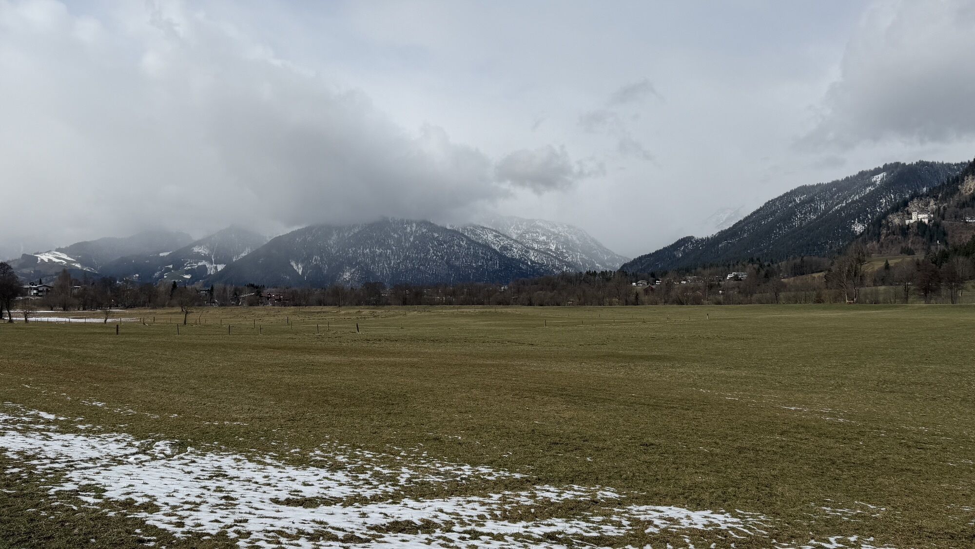
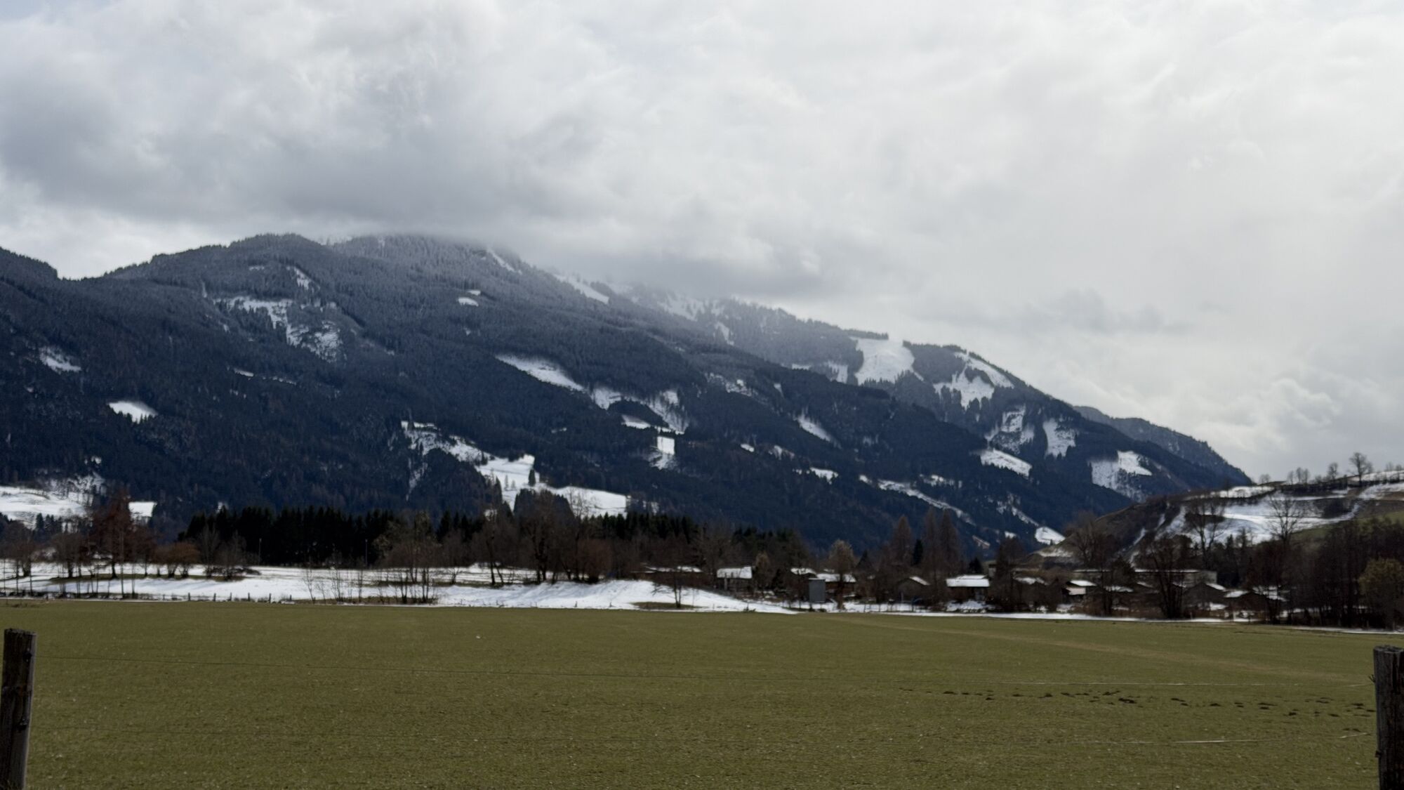
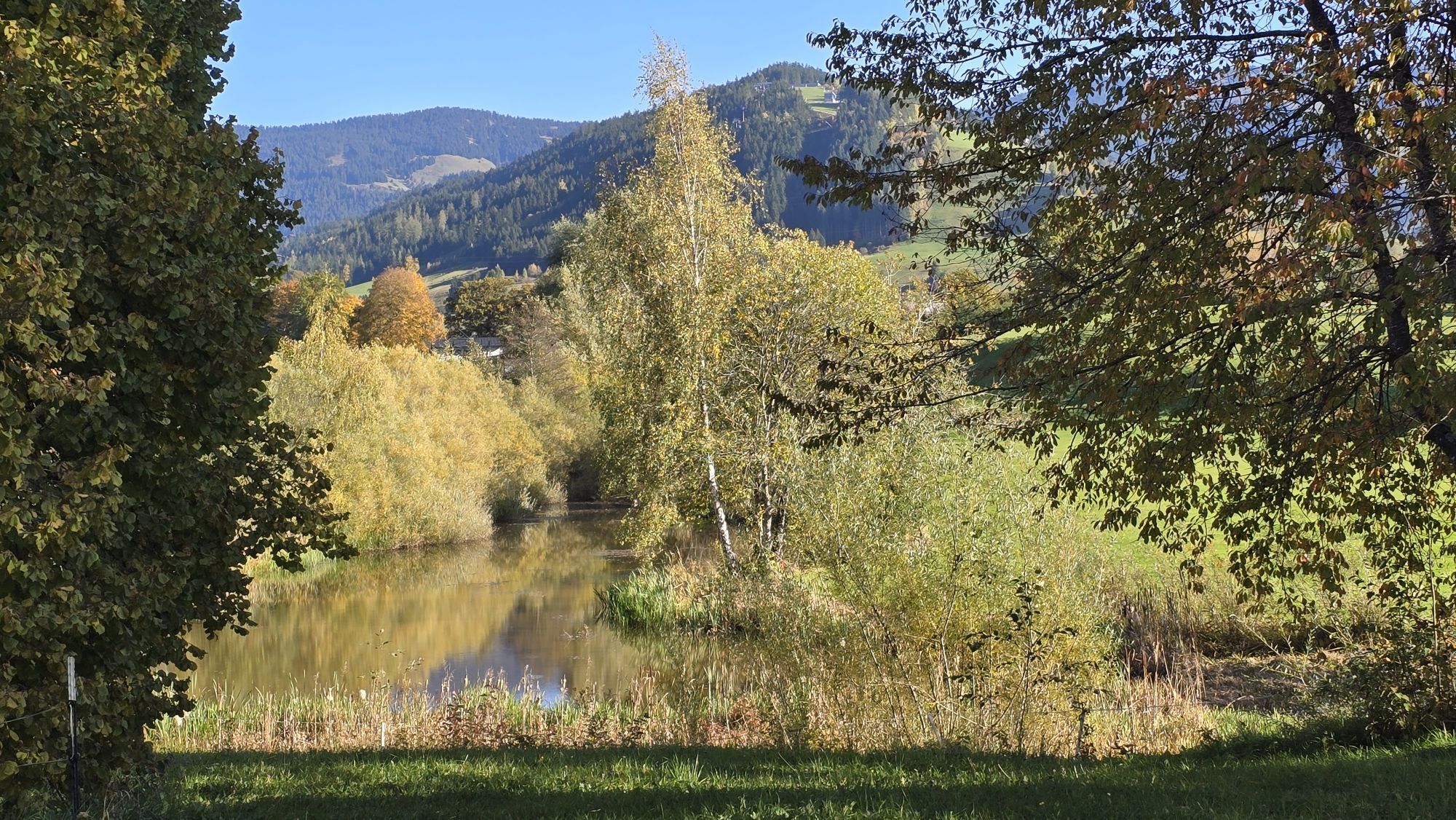
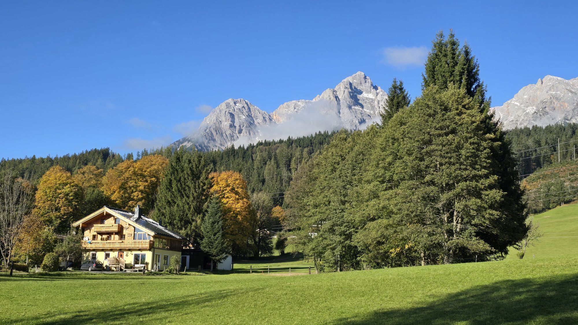
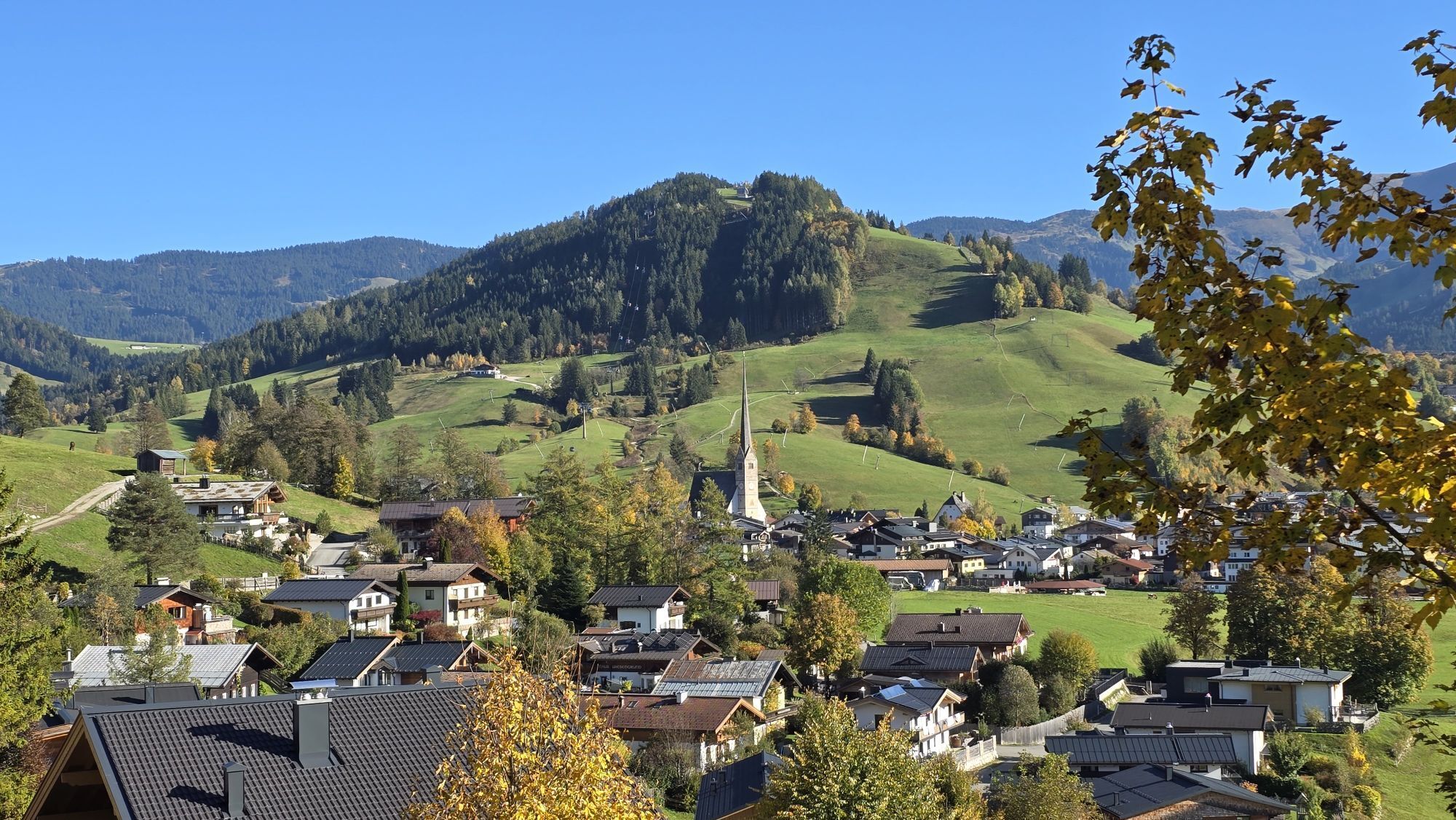
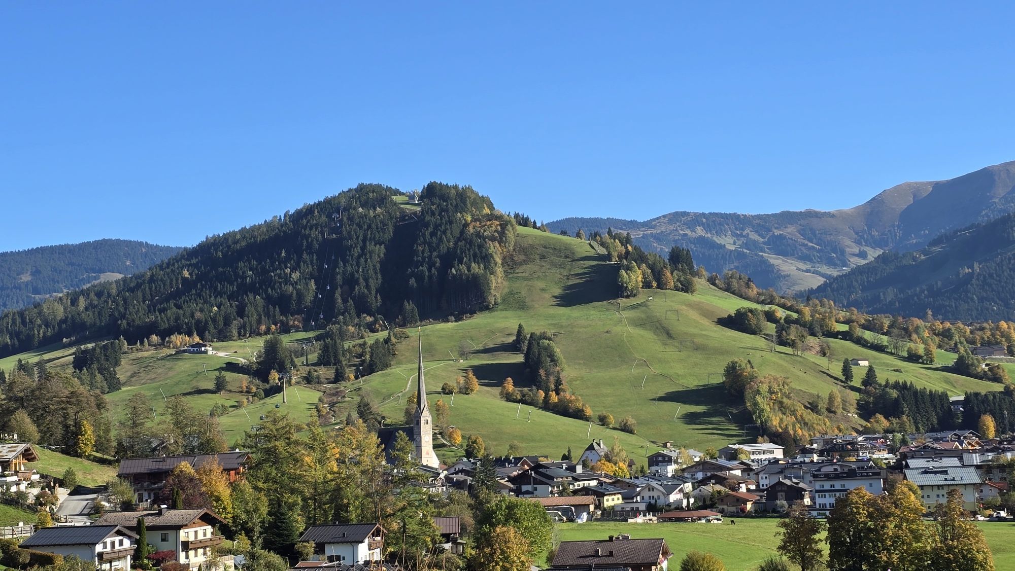
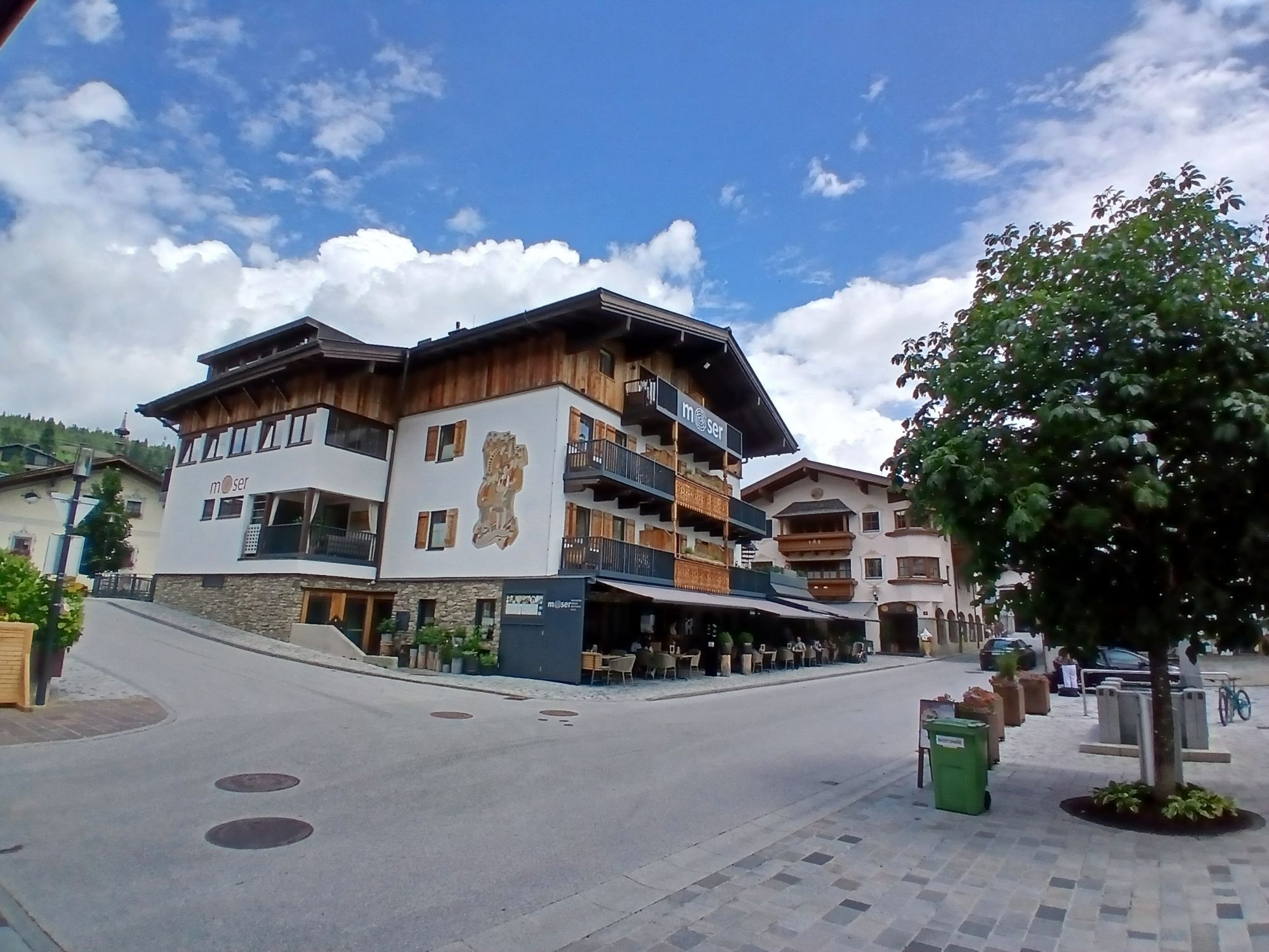
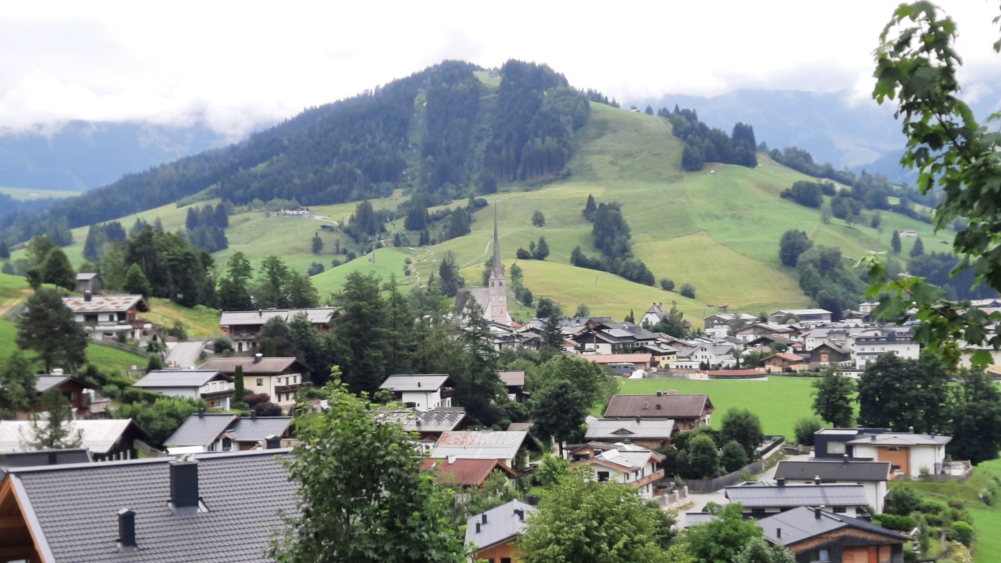
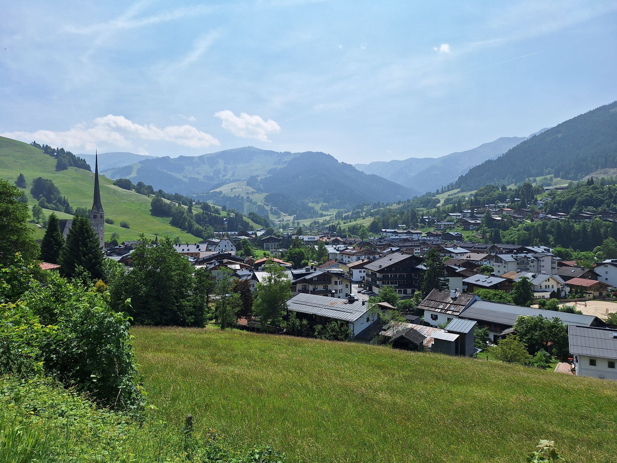
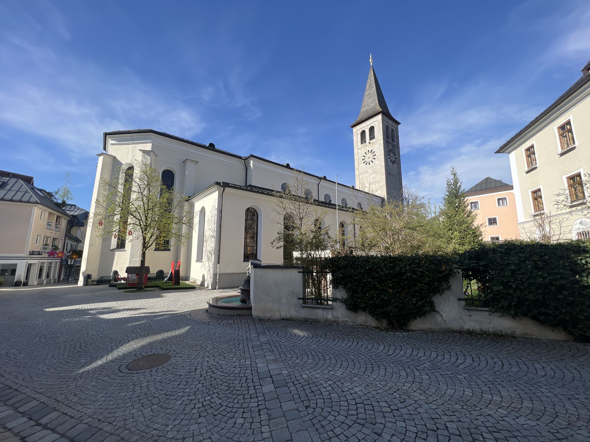

The scenic winter hike starts at the village square in Maria Alm. Over the bridge opposite, next to the Moserwirt inn, you walk past the Almerwirt inn. Here begins path no. 12 towards Saalfelden. On your...
The scenic winter hike starts at the village square in Maria Alm. Over the bridge opposite, next to the Moserwirt inn, you walk past the Almerwirt inn. Here begins path no. 12 towards Saalfelden. On your way, you will pass the dreamy Gasteg chapel located on a small hill. Maybe you are lucky, and the Augenbründl, according to the story a miraculous healing spring, is bubbling merrily. Follow path no. 12 until you reach your destination, the town of Saalfelden. For the return journey to Maria Alm, you can take the same route or use the bus.

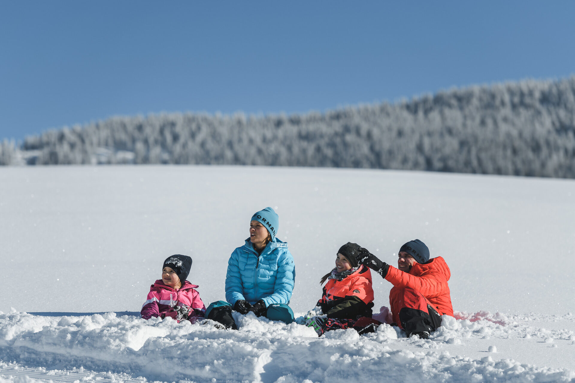
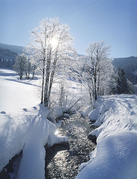
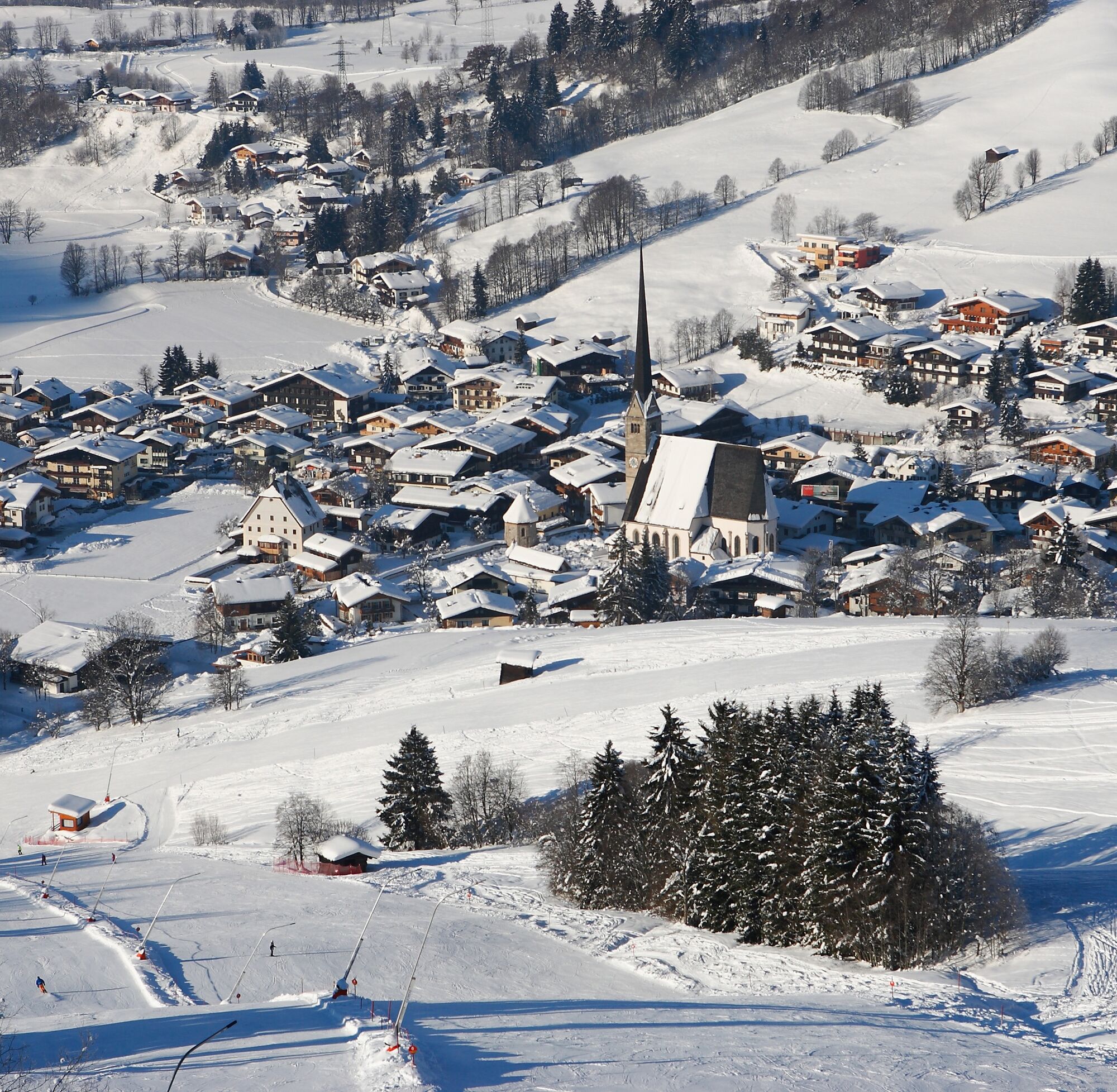

The scenic winter hike starts at the village square in Maria Alm. Over the bridge opposite, next to the Moserwirt inn, you walk past the Almerwirt inn. Here begins path no. 12 heading towards Saalfelden. On your way, you will pass the dreamy Gasteg chapel located on a small hill. Maybe you are lucky, and the Augenbründl, according to the story a miraculous healing spring, is bubbling merrily. Follow path no. 12 until you reach your destination, the town of Saalfelden. For the return journey to Maria Alm, you can take the same route or use the bus.
Da
Clothing: warm, layered clothing, hat, gloves, non-slip boots
Equipment: daypack, hiking poles, headlamp, possibly crampons or snowshoes
Safety & navigation: mobile phone, map/GPS, first aid kit, whistle
Food and drink: water, snacks, thermos flask
Optional: sunglasses, sun cream, seat pad
Check the weather: Obtain the latest weather and avalanche reports before setting off.
Wear the right clothing: Layers, waterproof, warm, with a hat, gloves and non-slip boots.
Equipment: Walking sticks, head torch, map/GPS, mobile phone, first aid kit. In case of ice or snow, possibly snowshoes or crampons.
Consider your fitness level: Adjust your pace to suit your fitness level.
Make use of daylight: Winter days are short – allow enough time.
Avoid slipping: Walk carefully, use poles and non-slip soles.
Food and drink: Take water, warm drinks and snacks with you.
Emergency plan: Tell someone your route and have emergency numbers to hand.
Respect nature: stay on the paths, avoid avalanche and wildlife protection areas.
Arrival from Salzburg: Take the A10 motorway to the Bischofshofen exit, then continue on the B311 towards Bischofshofen. Follow the Hochkönig federal road/B164 to Maria Alm.
Arrival from Innsbruck/Kufstein: Take the Loferer Straße/B178 towards St. Johann i.T., then continue via the Hochkönig federal road/B164 via Saalfelden to Maria Alm.
A valid vignette is required for using the Austrian motorway and expressway network. Also mandatory are carrying a first aid kit, warning triangle, and a high-visibility vest. More info at Asfinag.
ÖBB-Scotty: Timetable information
Bus Line 620: Timetable information
Ski bus: Timetable information
Free parking options at the entrance and in the town center of Maria Alm
1
Further information on winter hikes and activities in the Hochkönig region:
For detailed information on hiking maps, the opening hours of the mountain railways and the huts and alpine pastures in winter, we recommend visiting the local service centre. There you will not only receive a hiking map, but also valuable tips on the best winter hiking routes and current conditions.
Opening hours of the mountain railways in winter: The mountain railways offer different opening hours during the winter months, which can vary depending on weather conditions and the season. Please check the current operating hours in advance.
Opening hours of huts and alpine pastures in winter: The huts and alpine pastures in the region are ideal rest stops for hikers. Here, too, opening hours may vary depending on the season and day of the week. Ask the friendly hosts for advice on what's on offer and local specialities.
For further information, please visit our website: www.hochkoenig.at.
If you have any questions or would like specific information, please feel free to contact us:
Email: region@hochkoenig.at
Telephone: +43 (0)6584 20388
We look forward to helping you and hope you enjoy exploring the beautiful Hochkönig winter region!
A short stop at the Gasteg chapel should not be missed.
Pridobite vpogled
Vedno v živo na mestu z več kot 9.500 spletnimi kamerami. bergfex Kot uporabnik Pro si lahko zdaj ogledate ustrezne spletne kamere za številne izlete v aplikaciji izleti iz. Tako si lahko neposredno ogledate trenutne razmere.

Priljubljeni izleti v okolici
-
4.8
Königssee - Kärlinger-Haus
Pohodništvo 10.1 km -
4.4
Maria Alm - Riemannhaus
Pohodništvo 3.99 km -
4.8
Summit stormer route Lauskopf
težkoPohodništvo 8.16 km -
4.8
Summit storming route Taghaube
težkoPohodništvo 6.25 km -
4.6
Steinalm
svetlobaPohodništvo 2.71 km -
4.3
Schwalbenwand Nr. 80, 81, 82
srednjaPohodništvo 13.0 km -
5.0
Watzmann Überschreitung an einem Tag
težkoPohodništvo 23.9 km -
4.4
Peter-Wiechenthaler Hut
srednjaPohodništvo 4.32 km -
4.9
Breithorn
srednjaPohodništvo 10.0 km -
4.9
Hochkönig - Gipfel der Gefühle - Matrashaus
težkoPohodništvo 20.9 km
Pohodništvo in sledenje


Ne zamudite ponudb in navdiha za naslednje počitnice
Vaš e-poštni naslov je bil dodan na poštni seznam.





