







Large 7 Summit Round
Stopnja težavnosti: T3
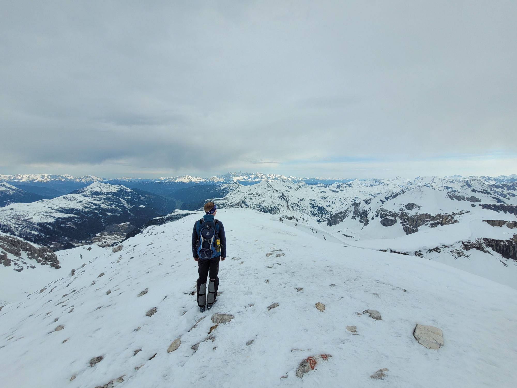
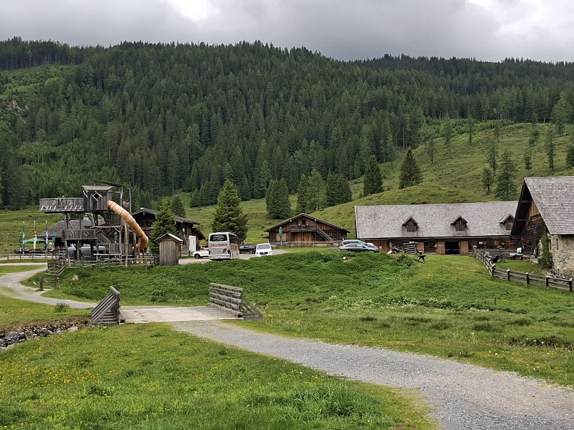
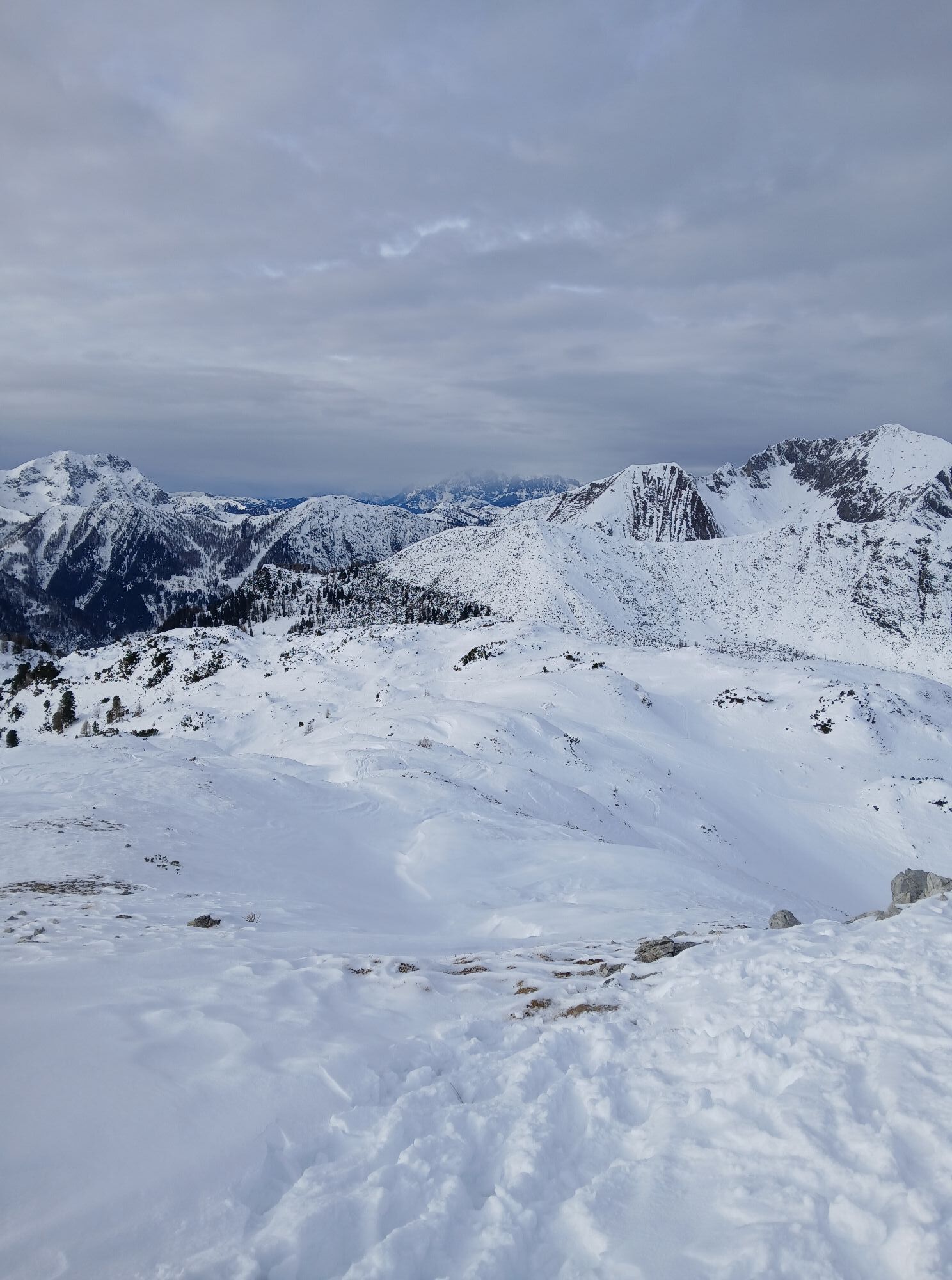
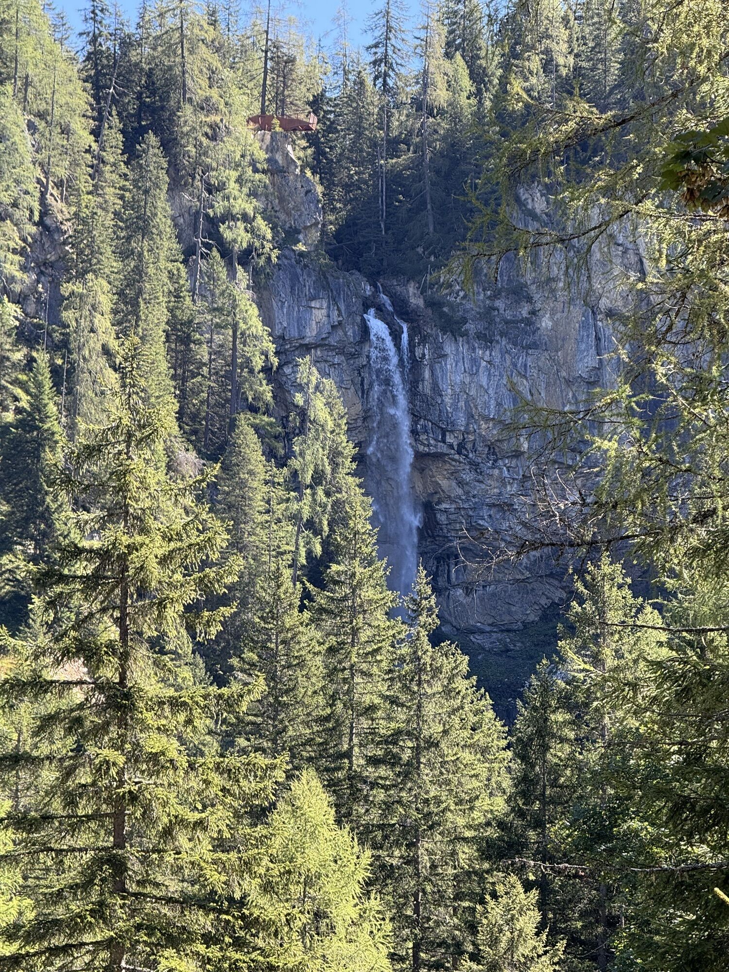
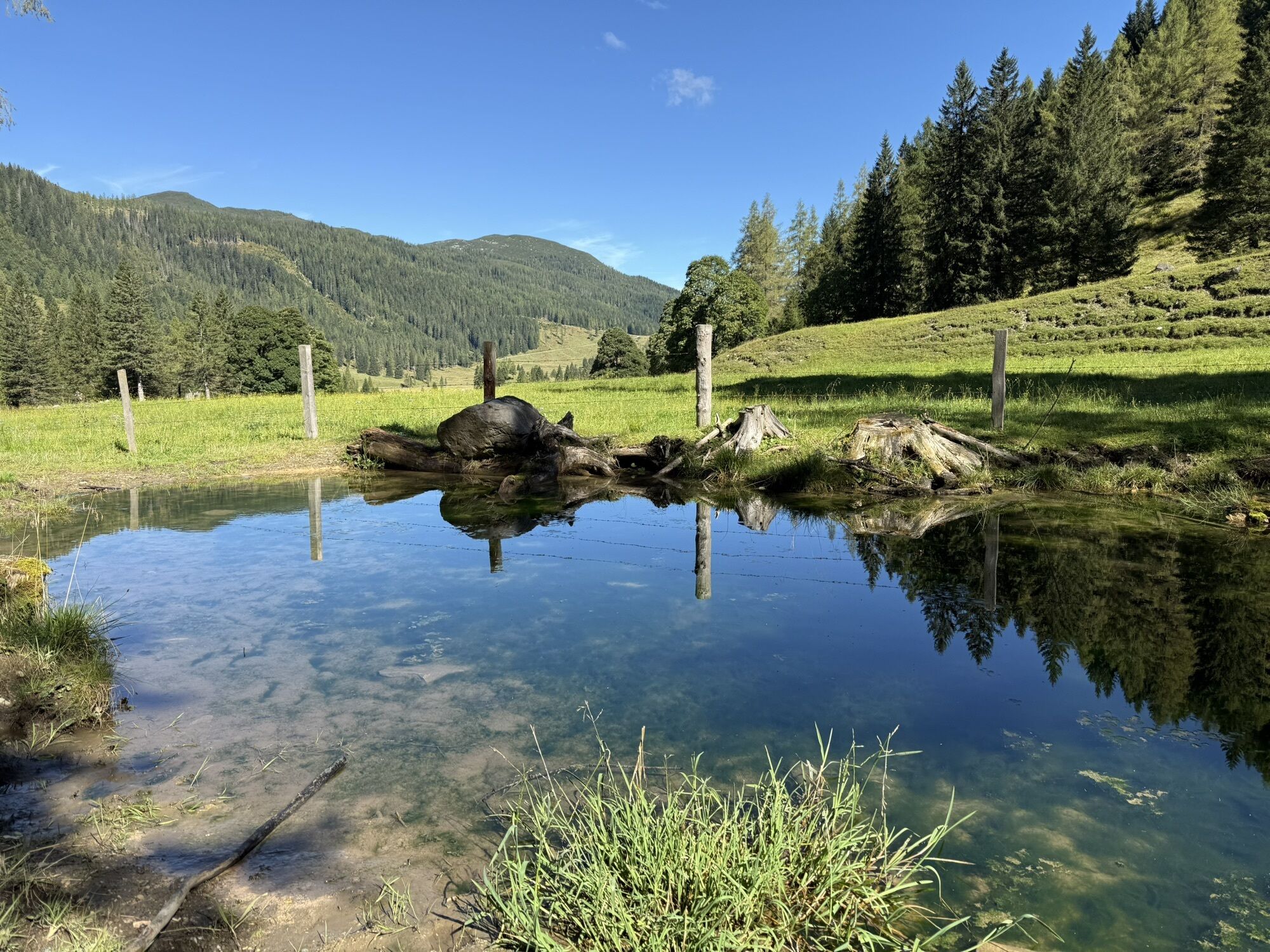
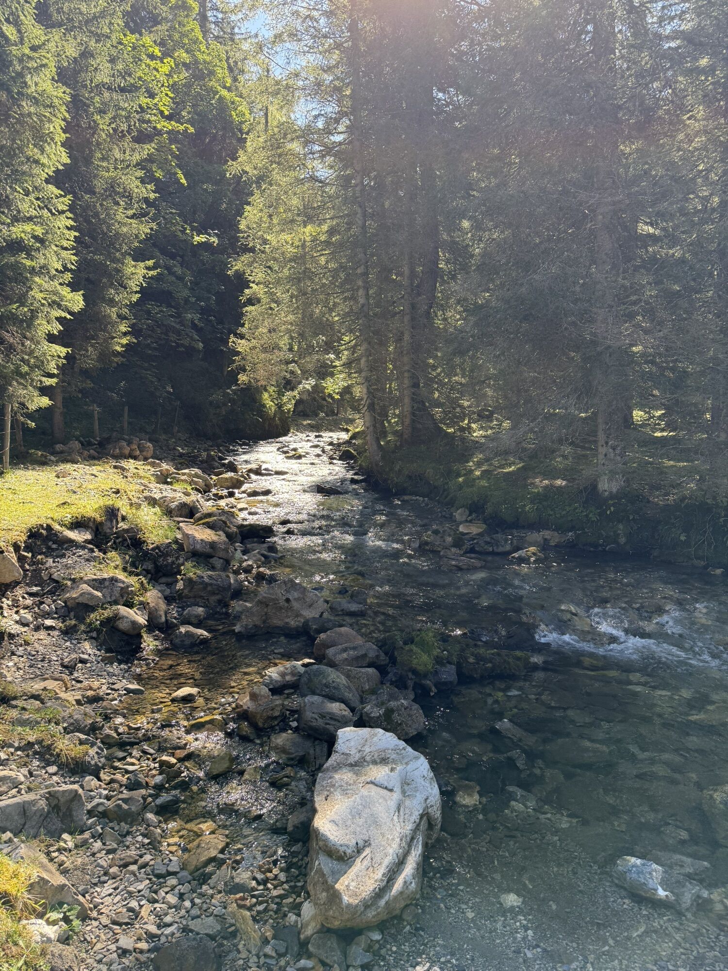
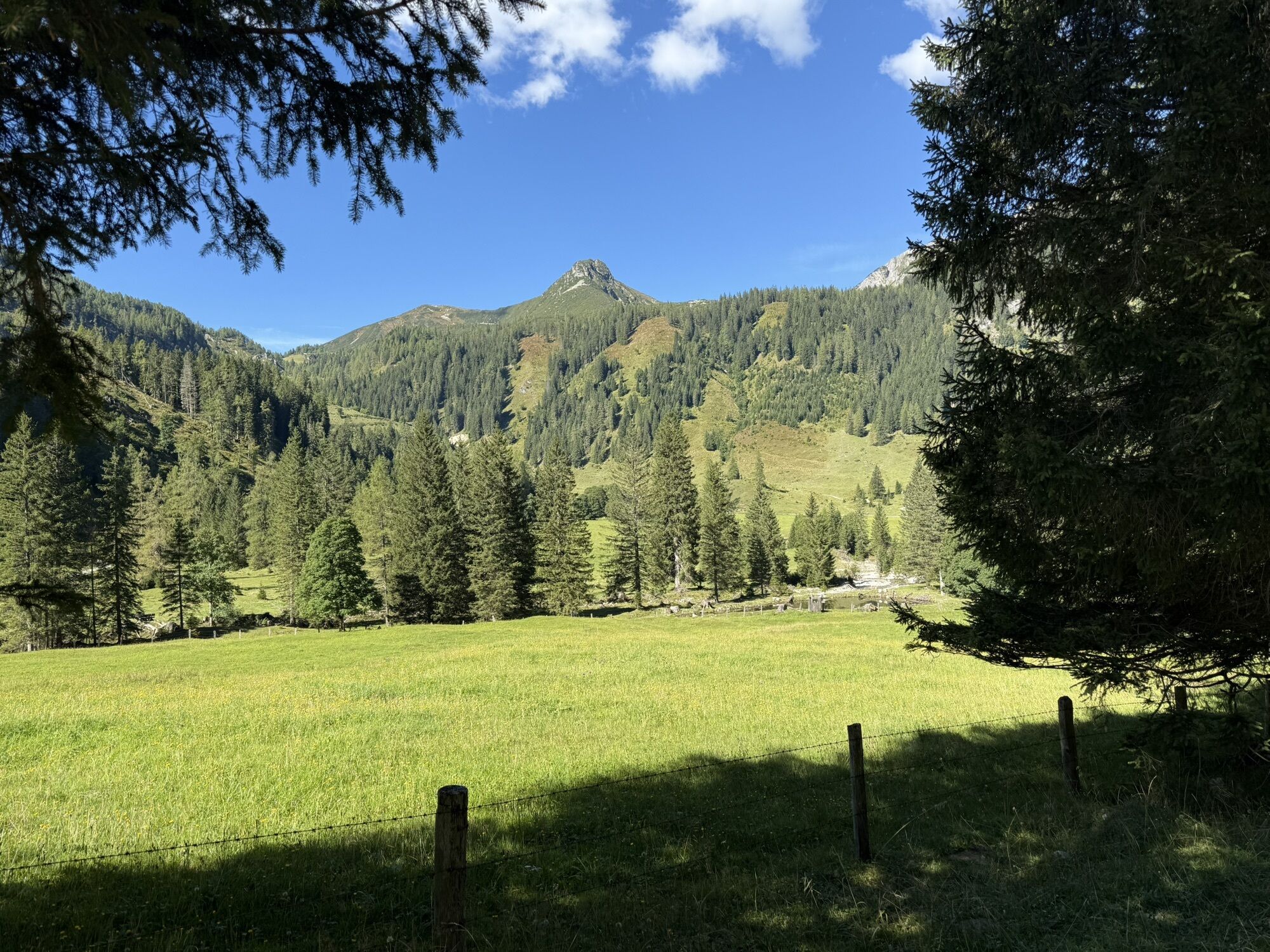
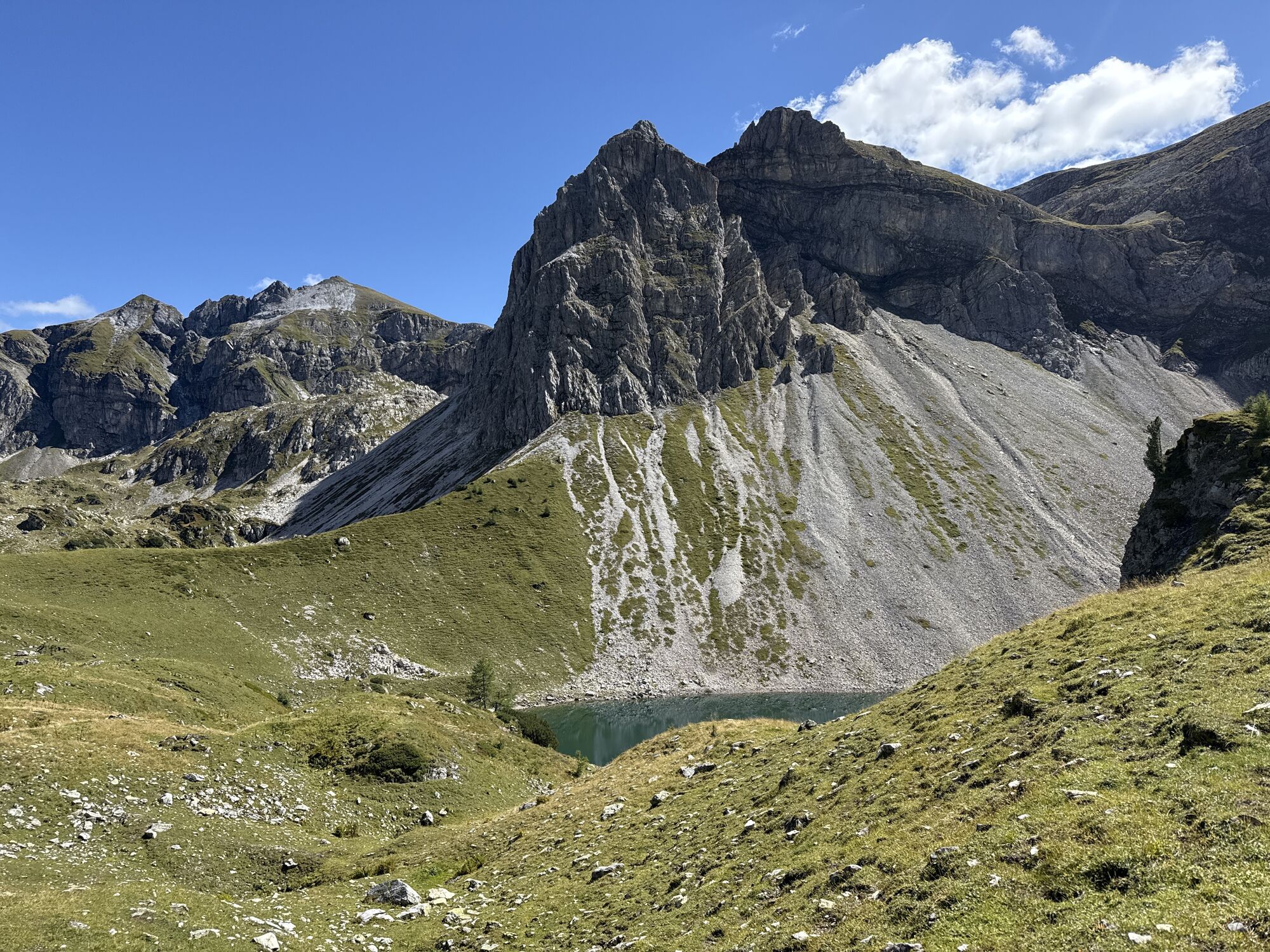

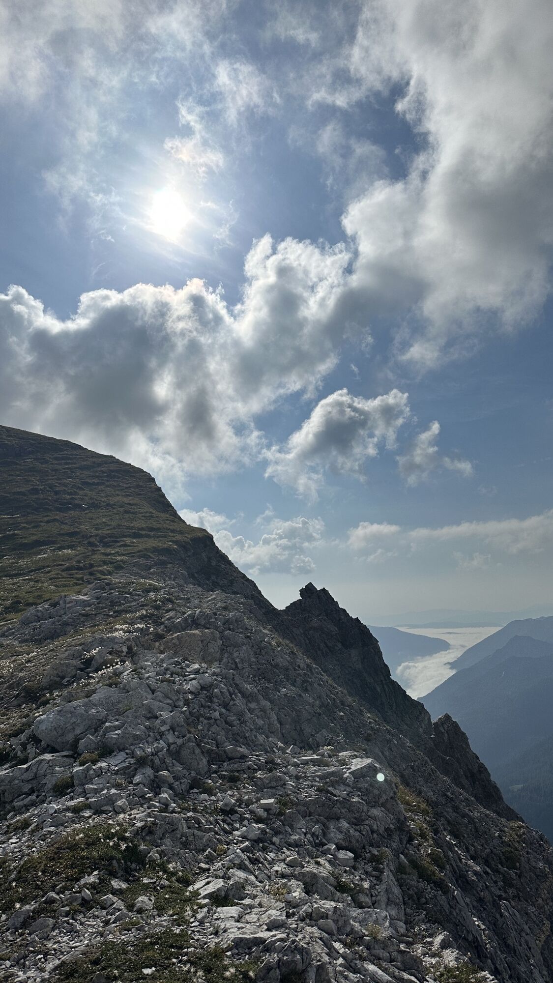
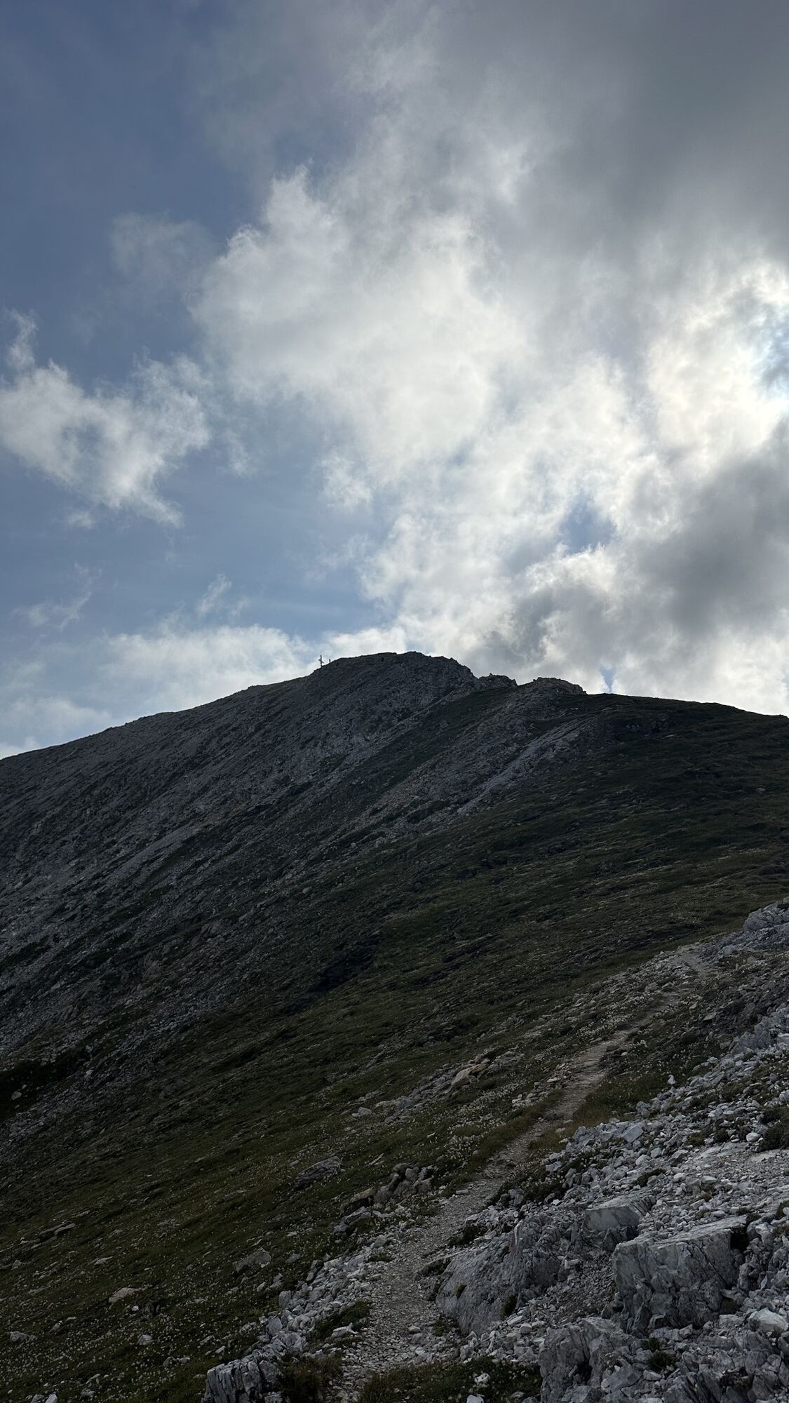
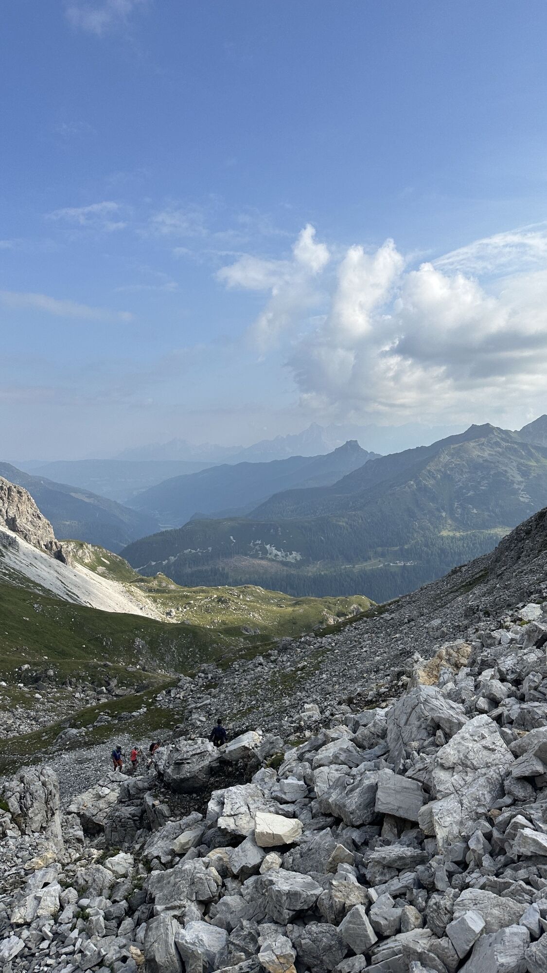
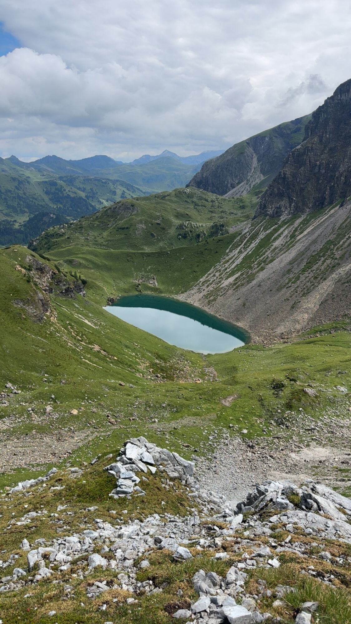
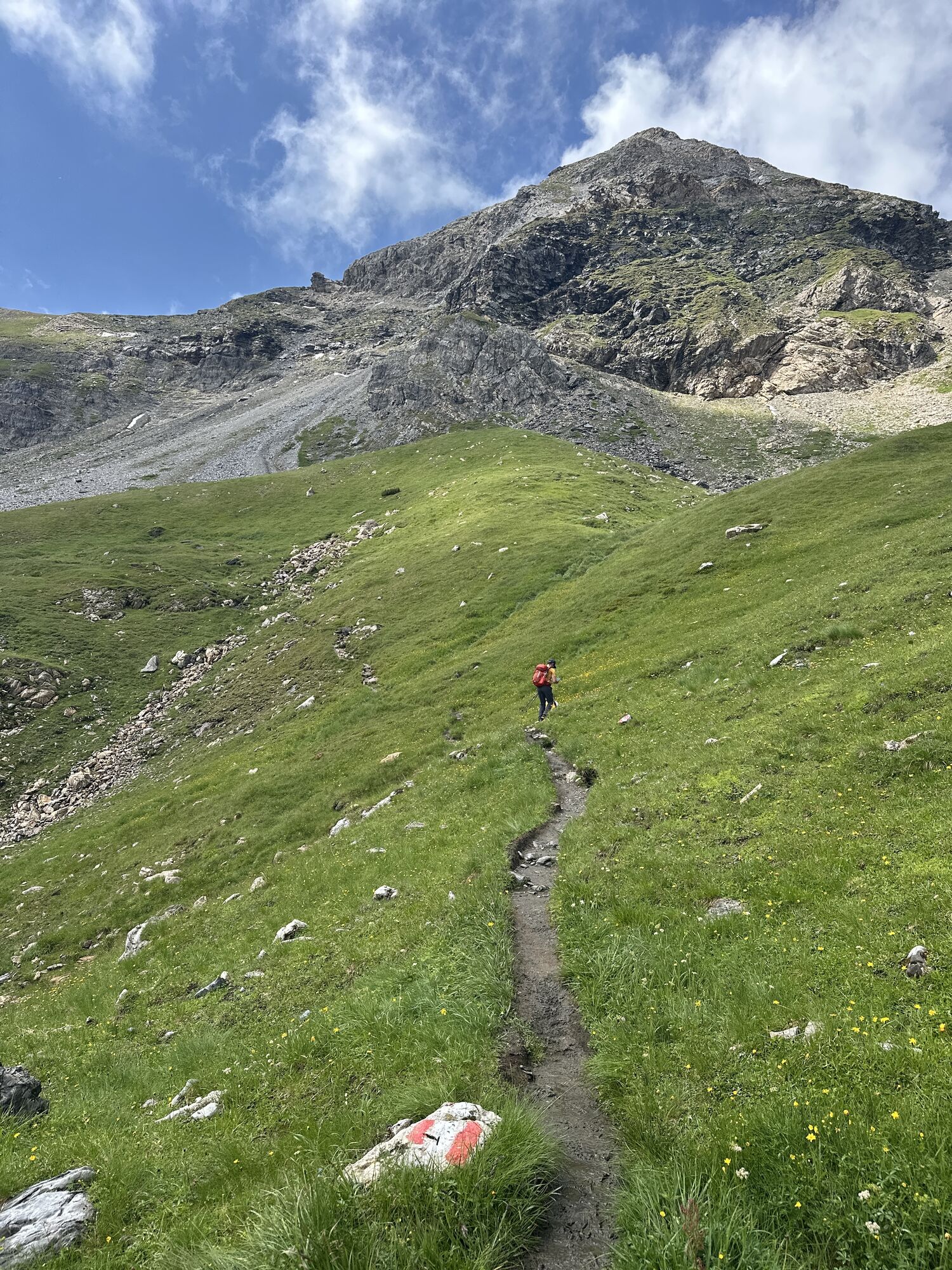
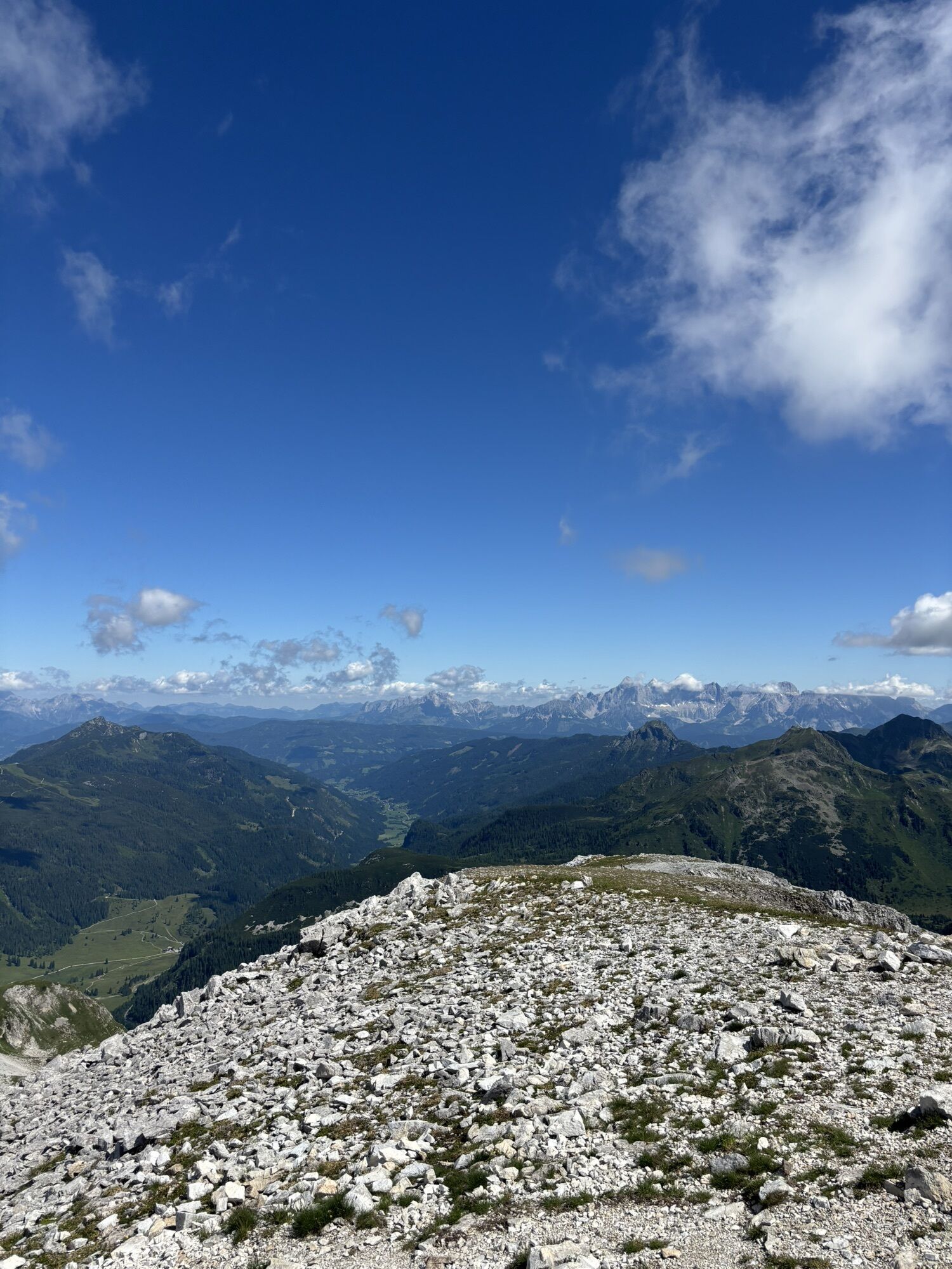
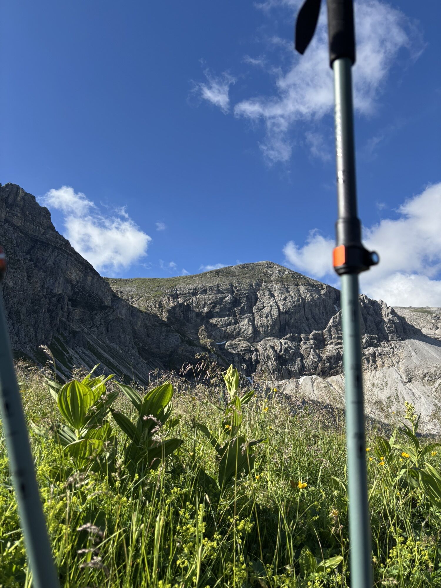

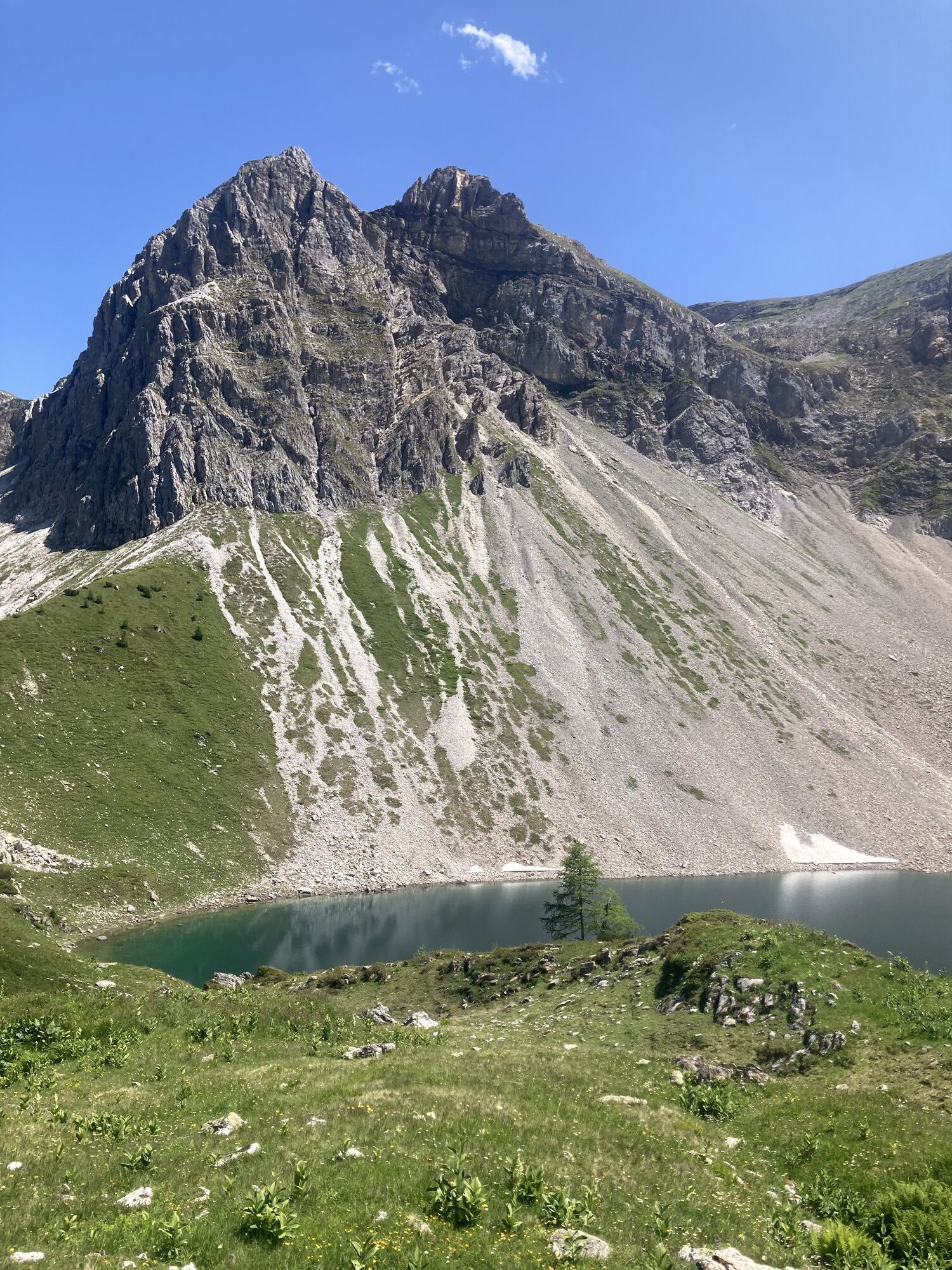
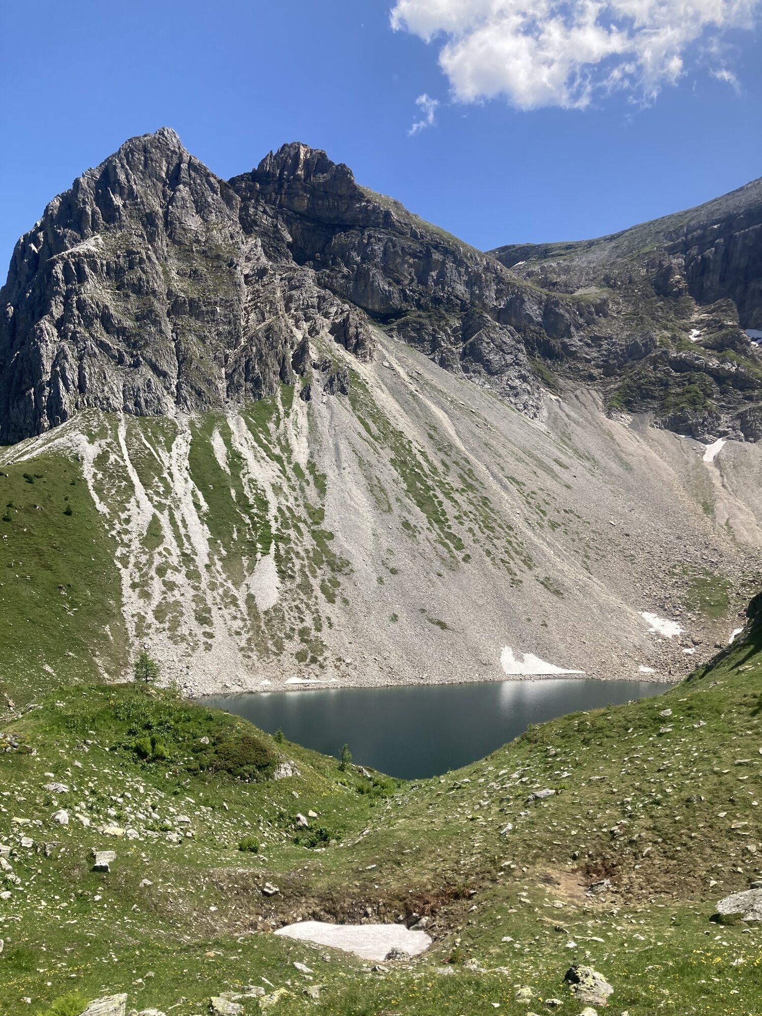
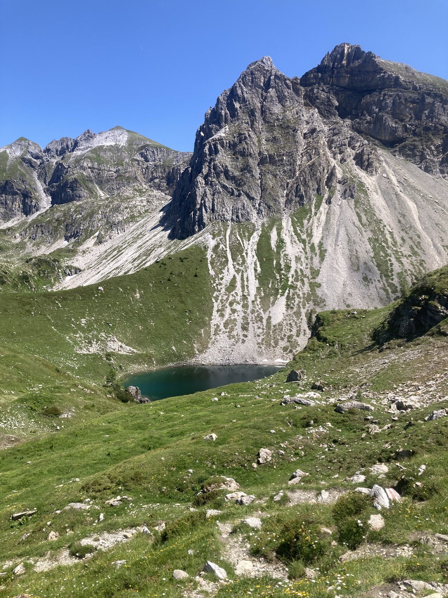
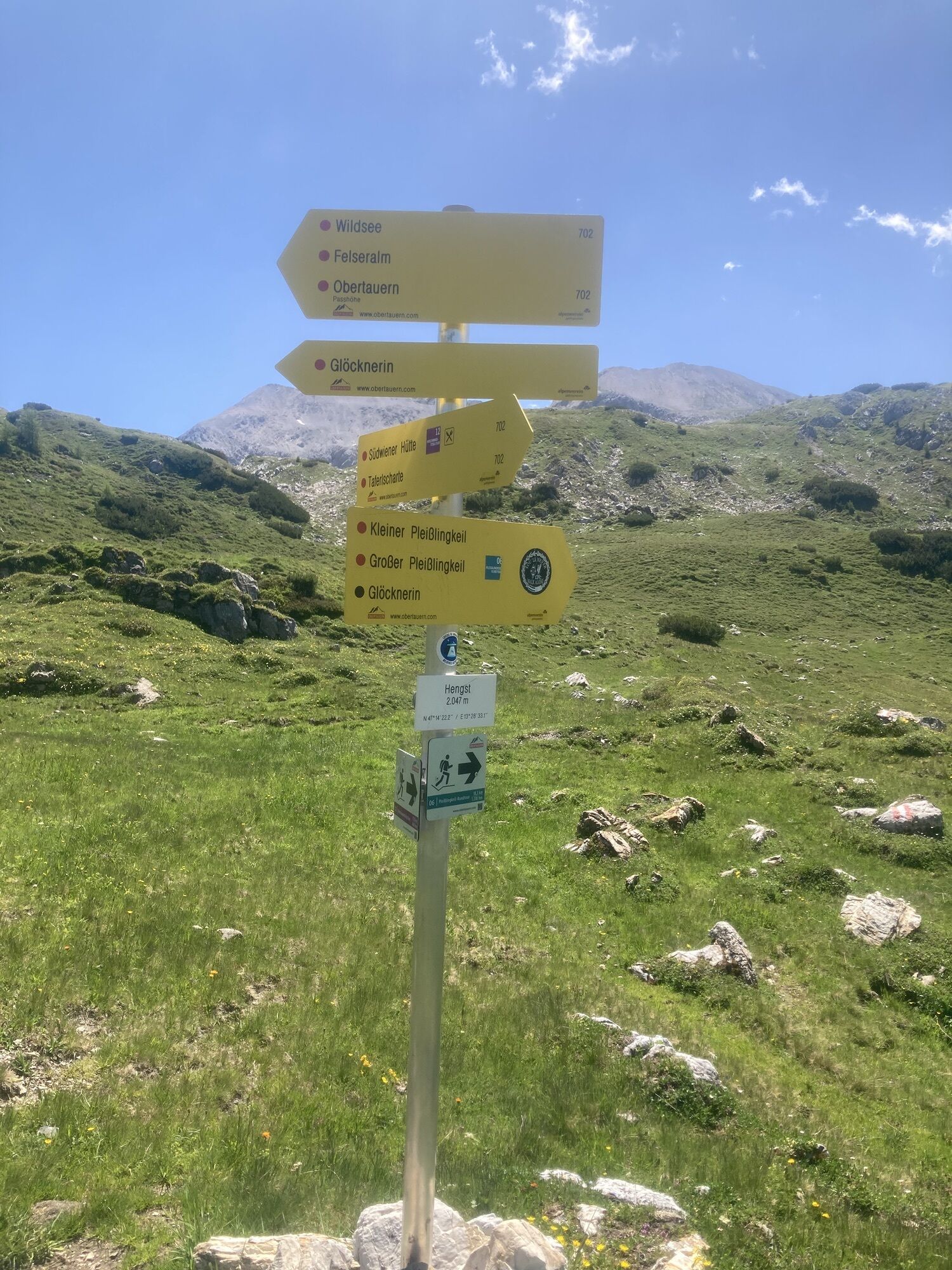
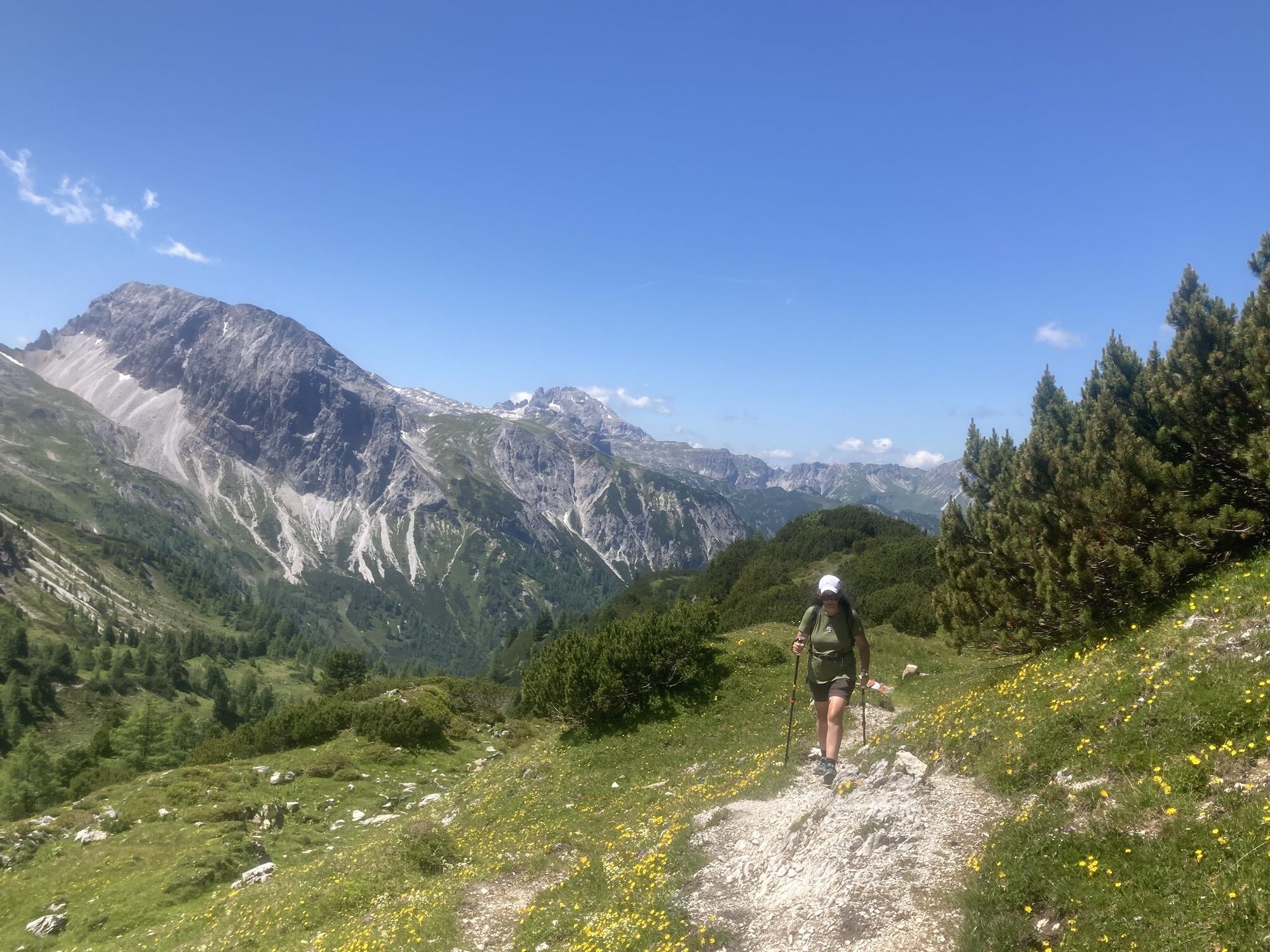
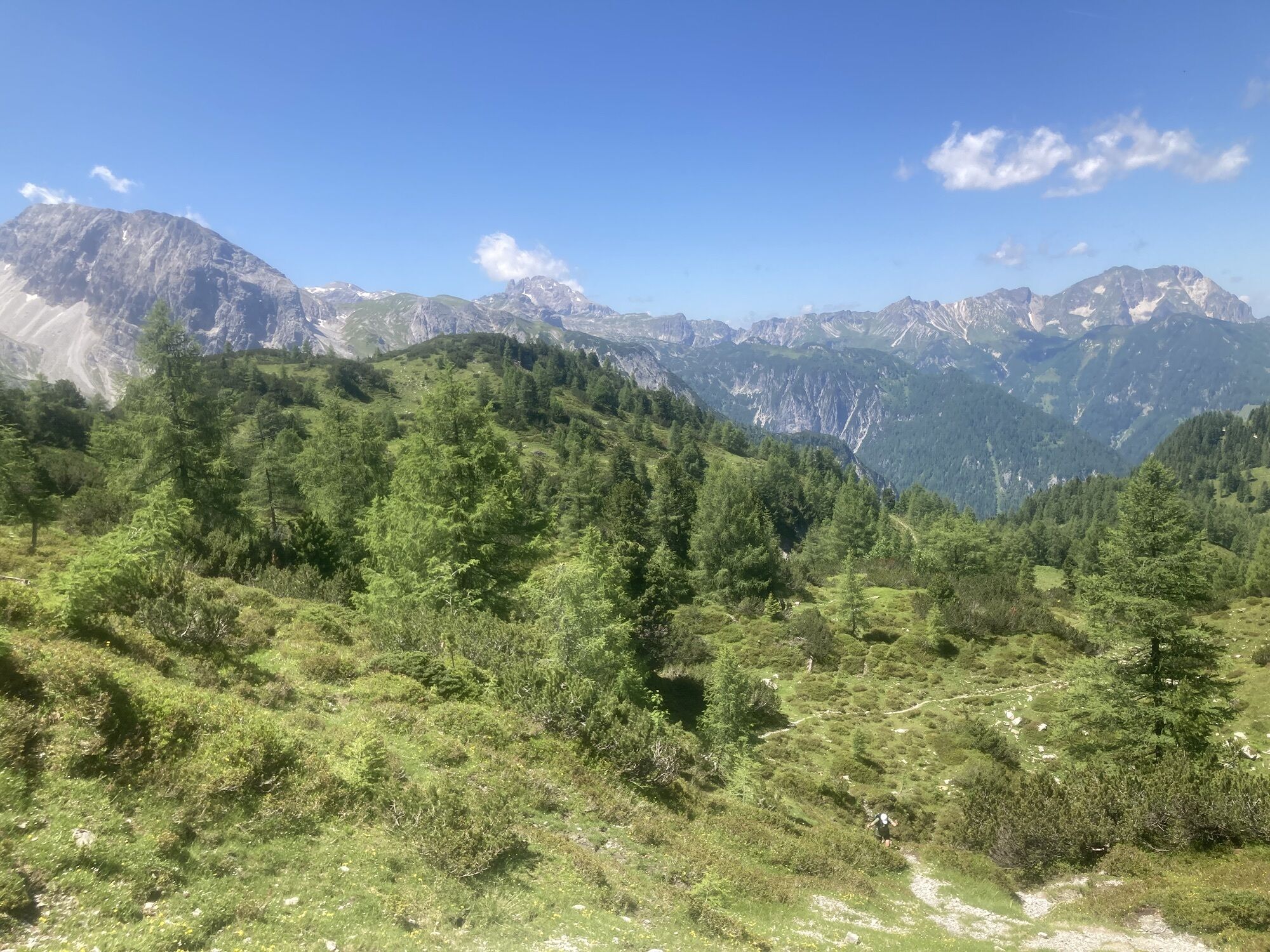
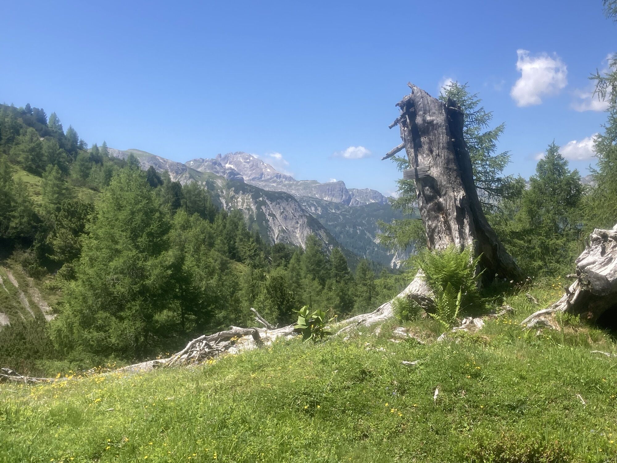
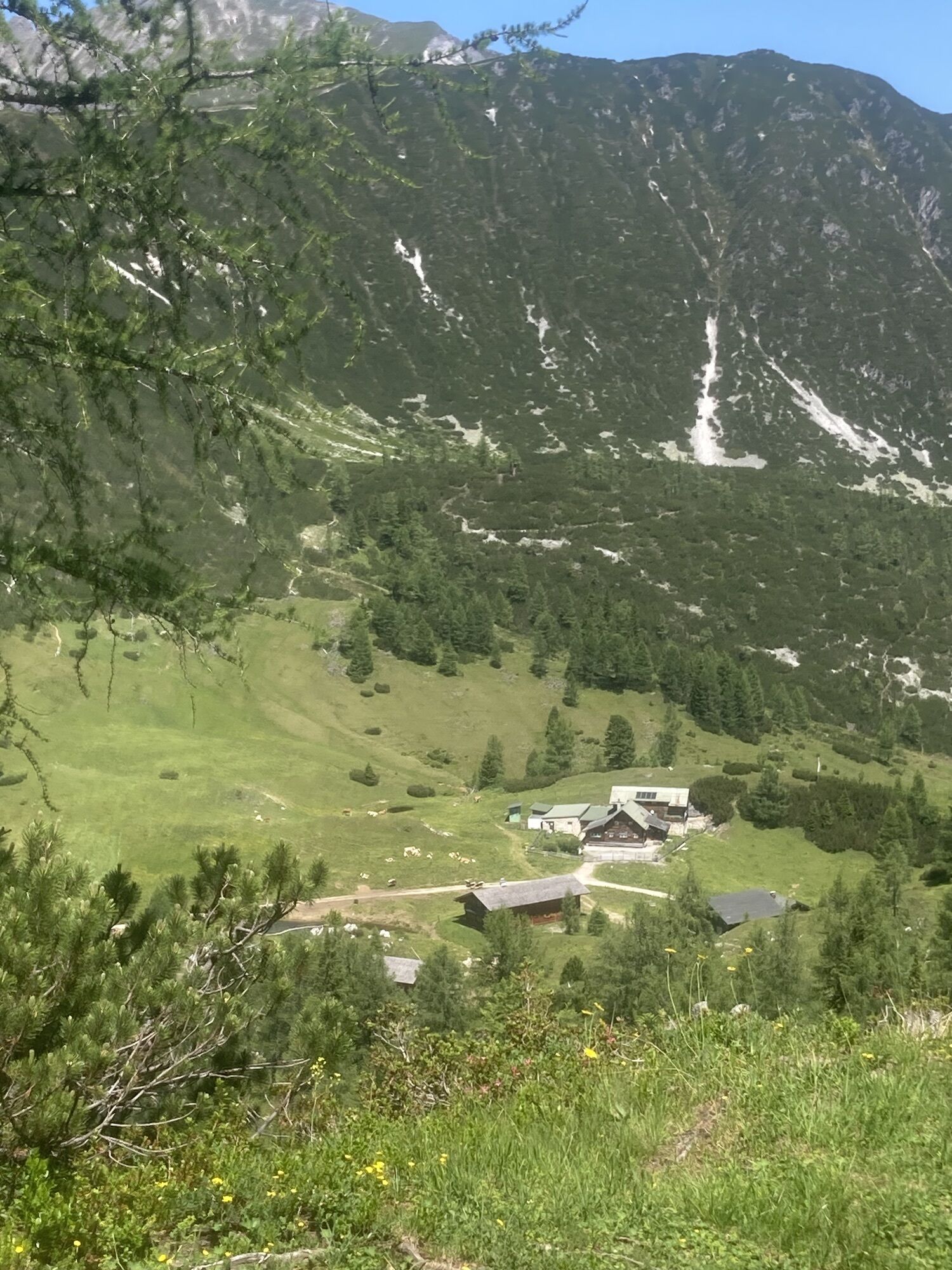

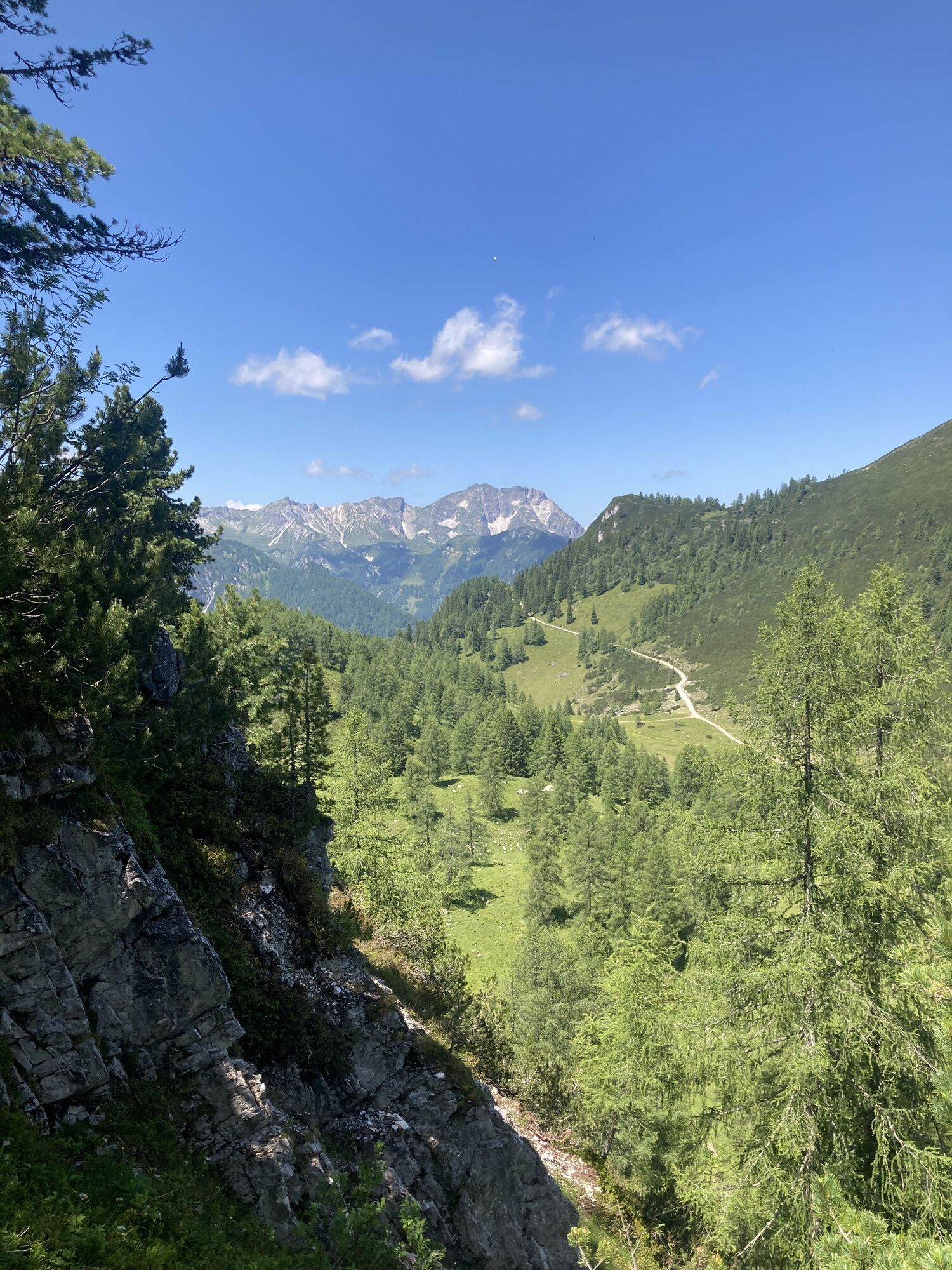
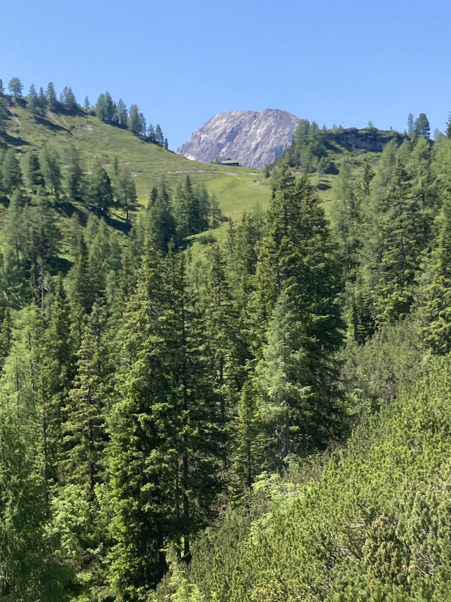
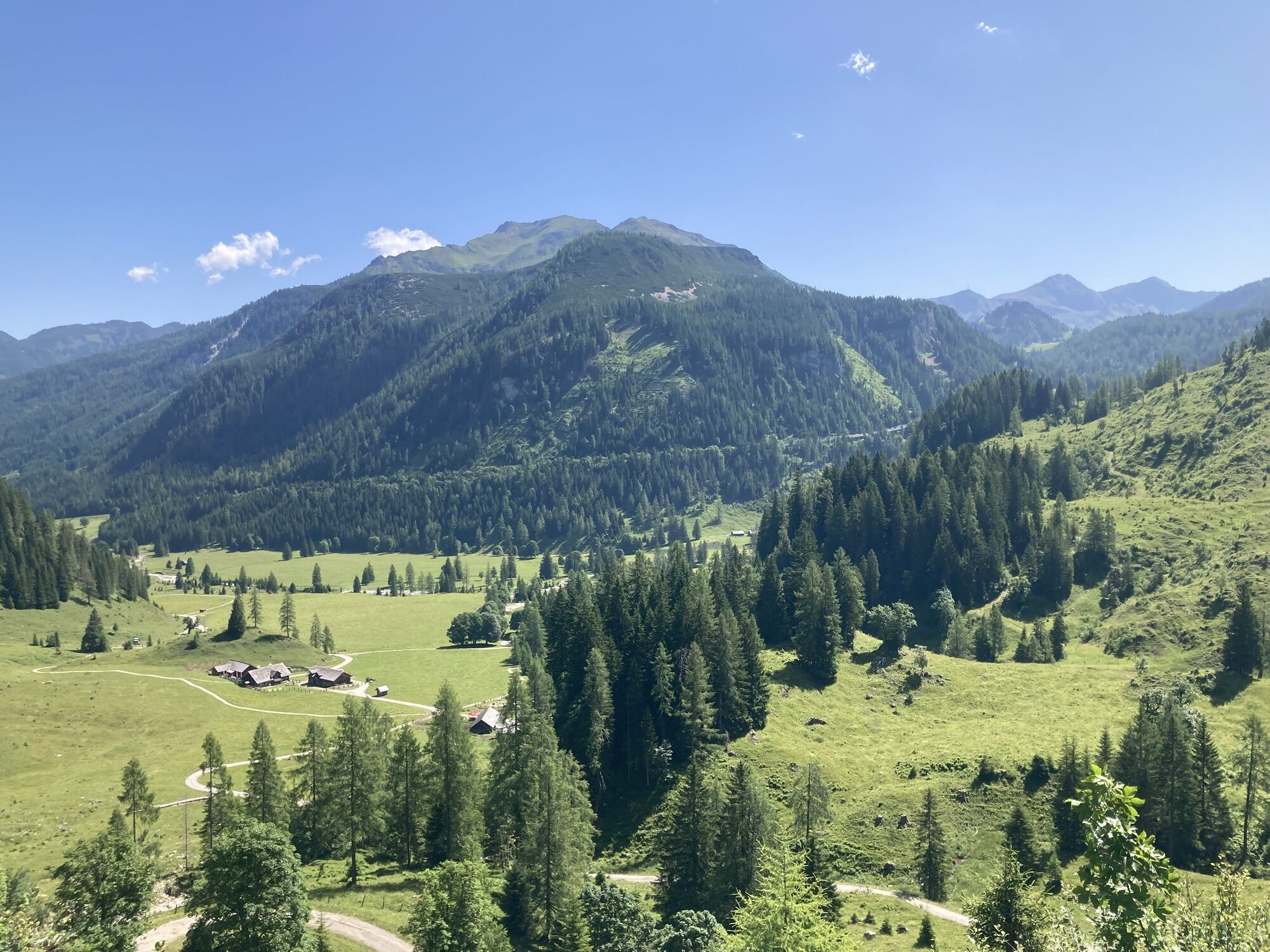

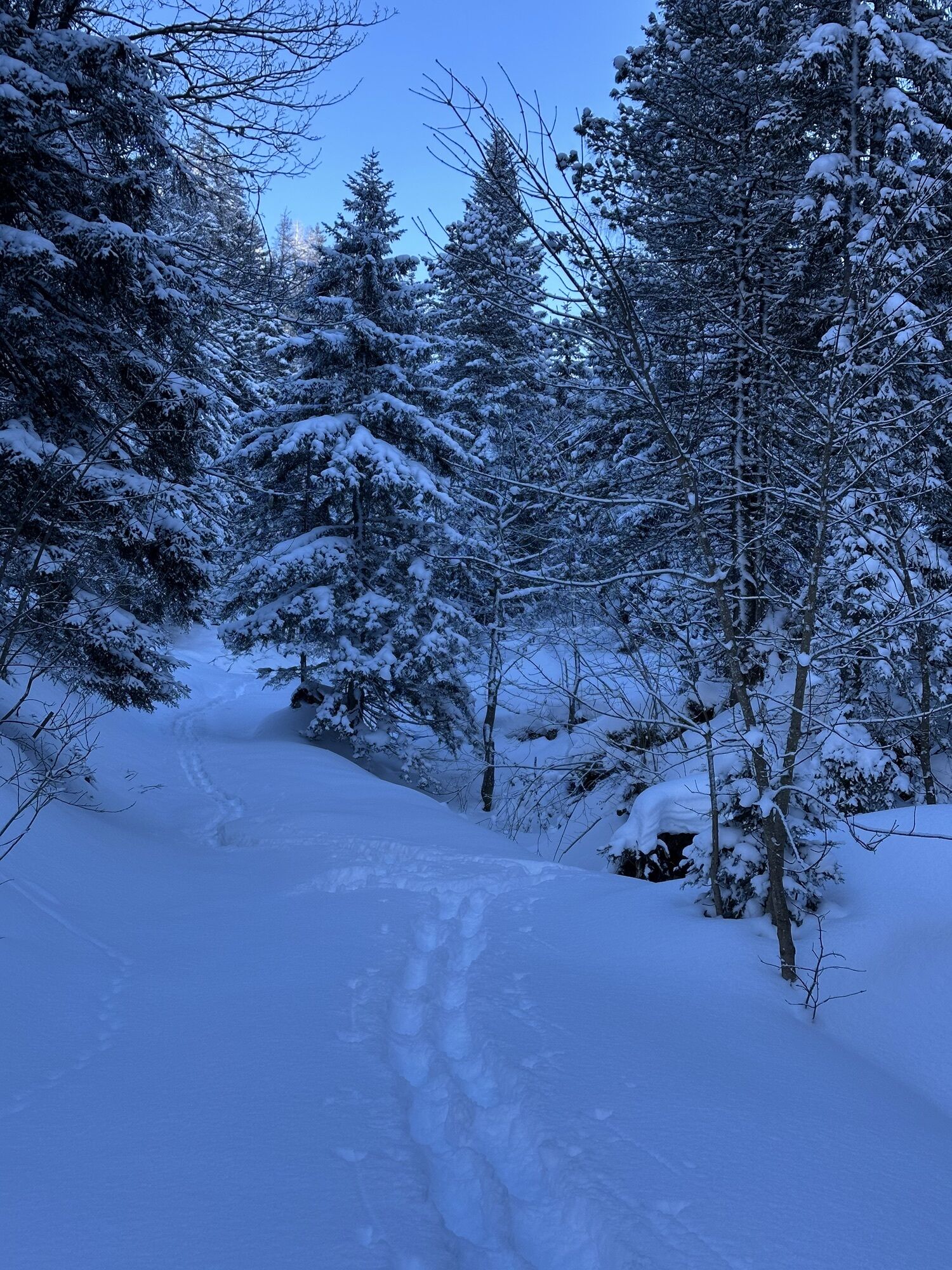
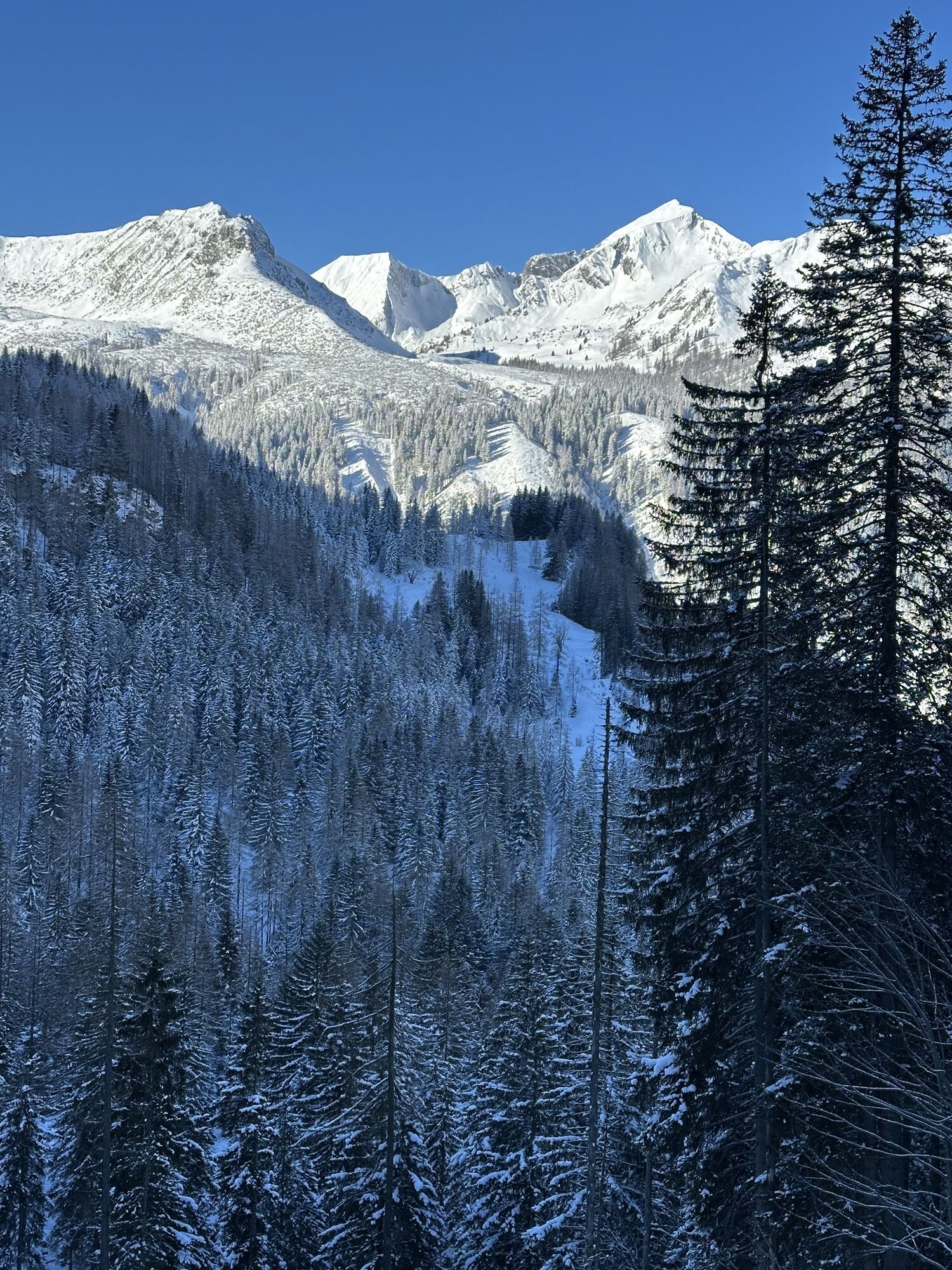
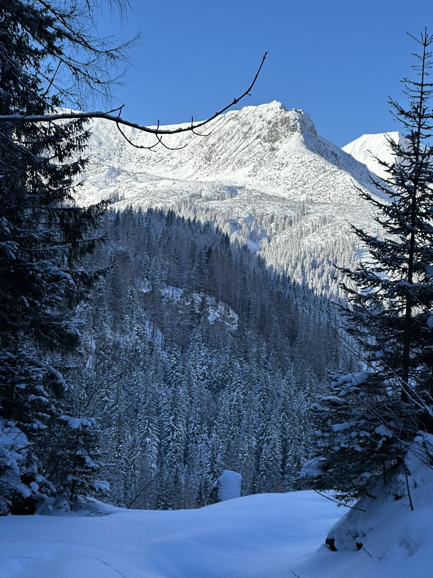
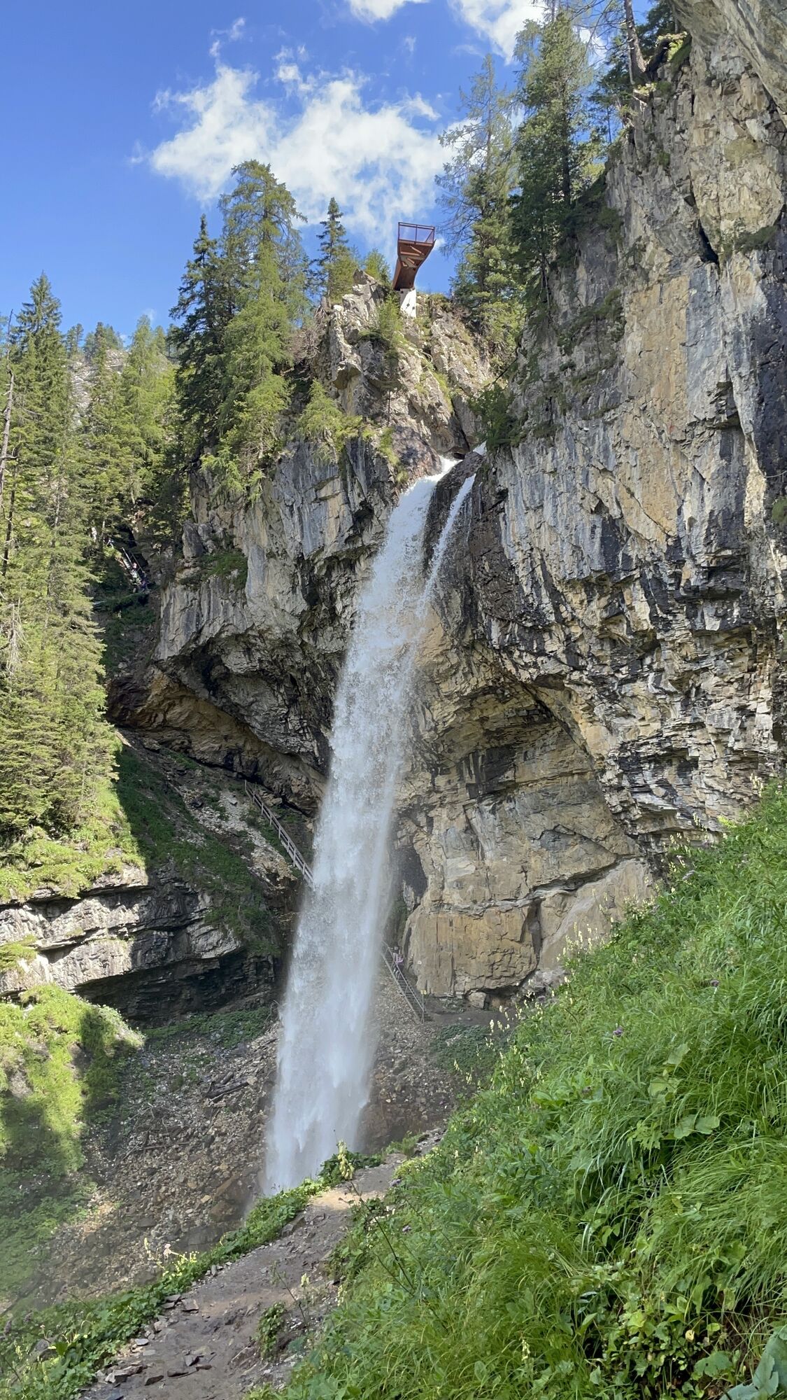
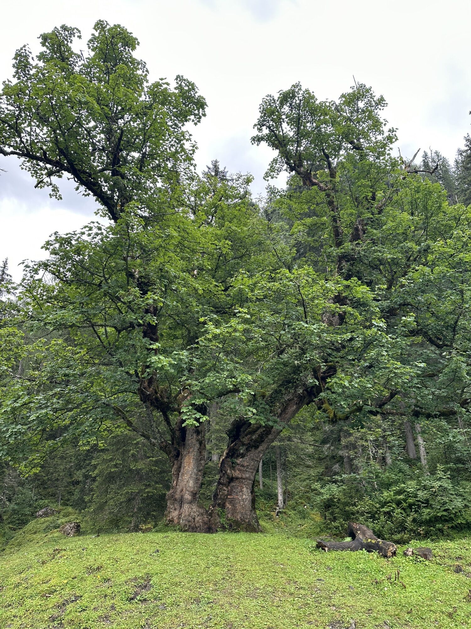
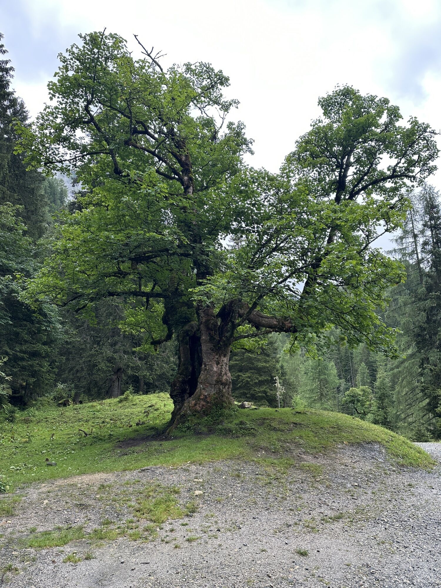
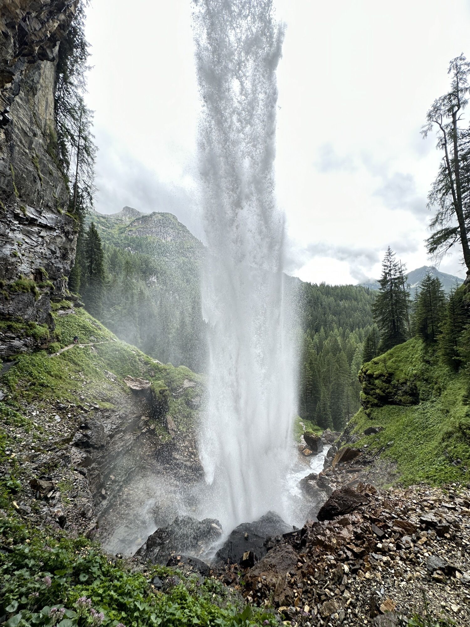
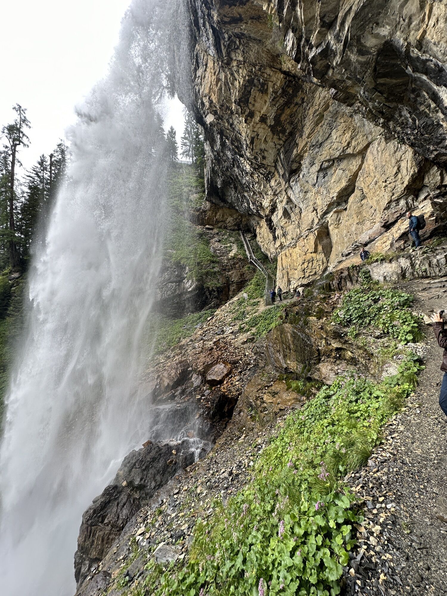
The challenging summit round starts at the Gnadenalm and initially leads comfortably along the well-marked trail no. 28 to the Südwiener Hut. After a short break, the alpine part begins: a trail goes over...
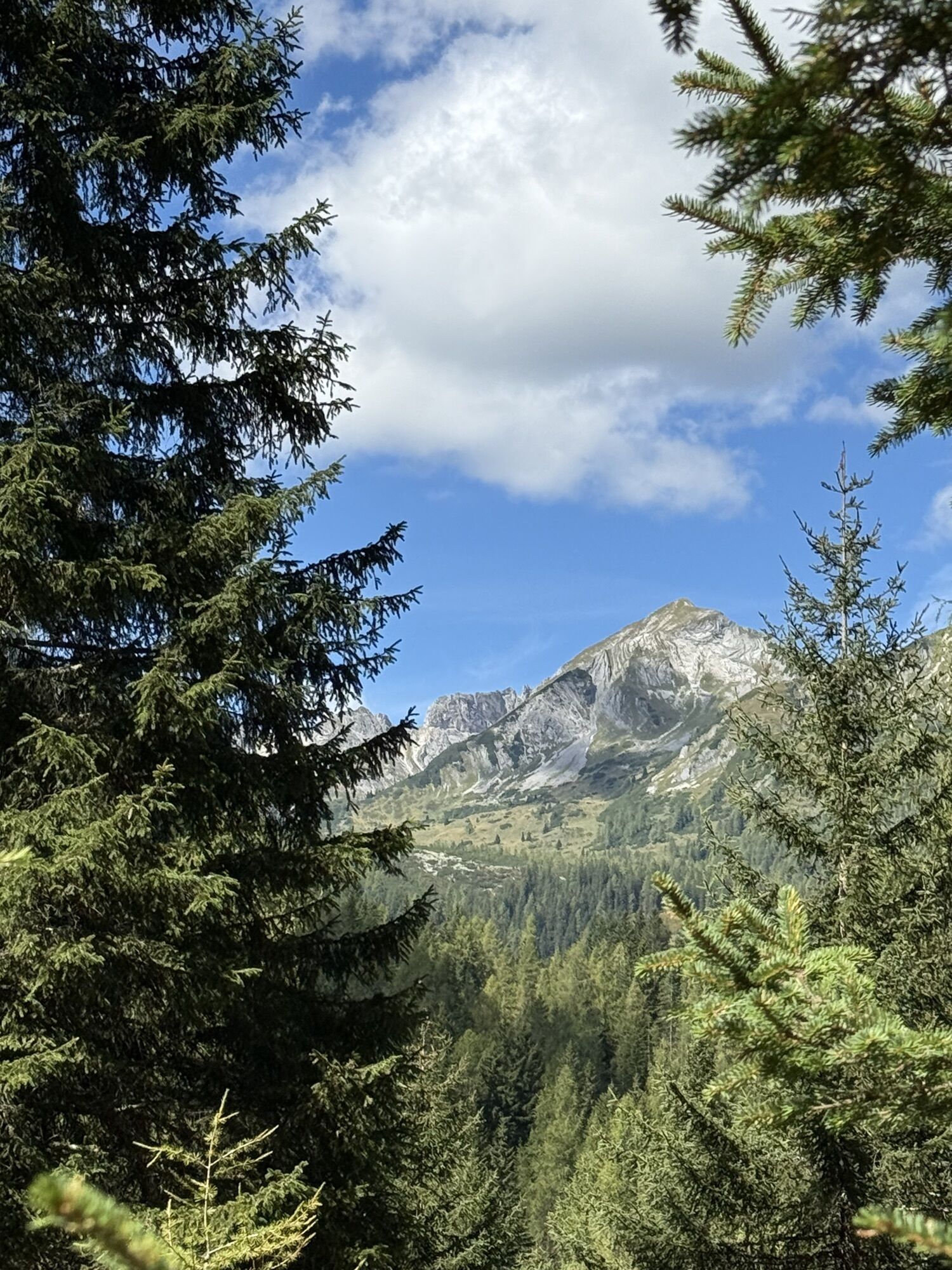
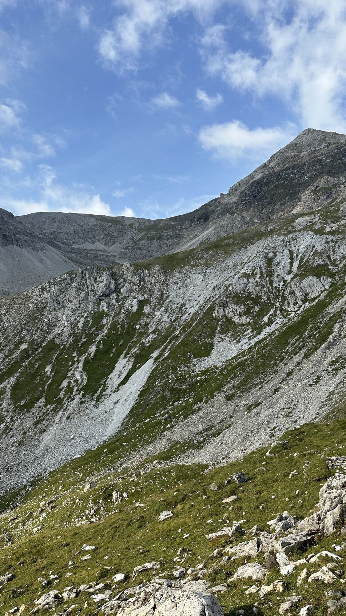
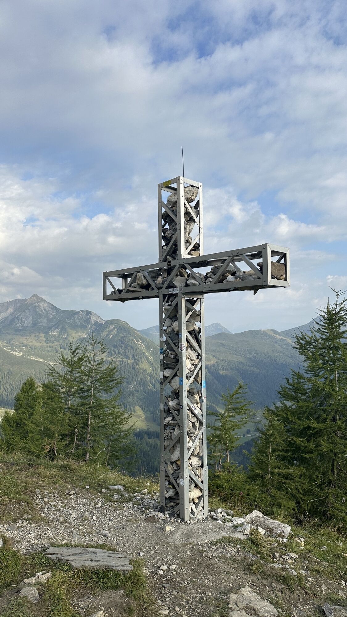
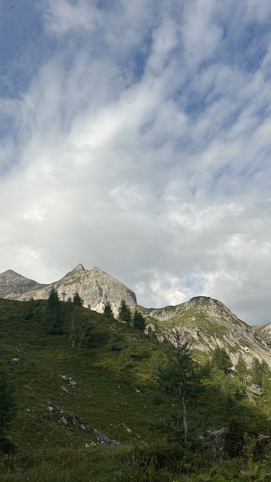
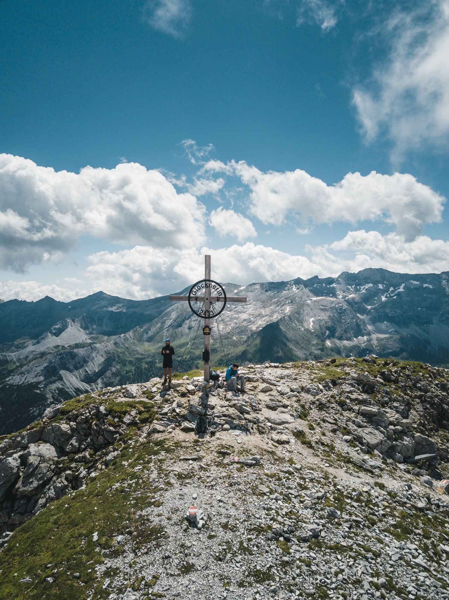
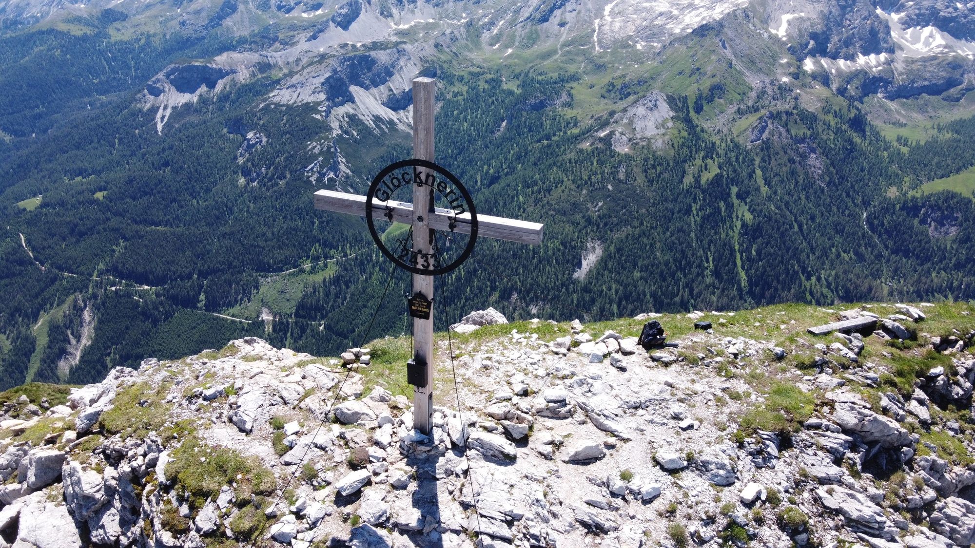
The challenging summit round starts at the Gnadenalm and initially leads comfortably along the well-marked trail no. 28 to the Südwiener Hut. After a short break, the alpine part begins: a trail goes over the Hengst (2,078 m) and further to the small (2,178 m) and large Pleißlingkeil (2,350 m), offering magnificent panoramic views over the Radstädter Tauern. From there it continues to the Großwandspitze, before reaching the highest point of the route at the Glöcknerin (2,433 m).
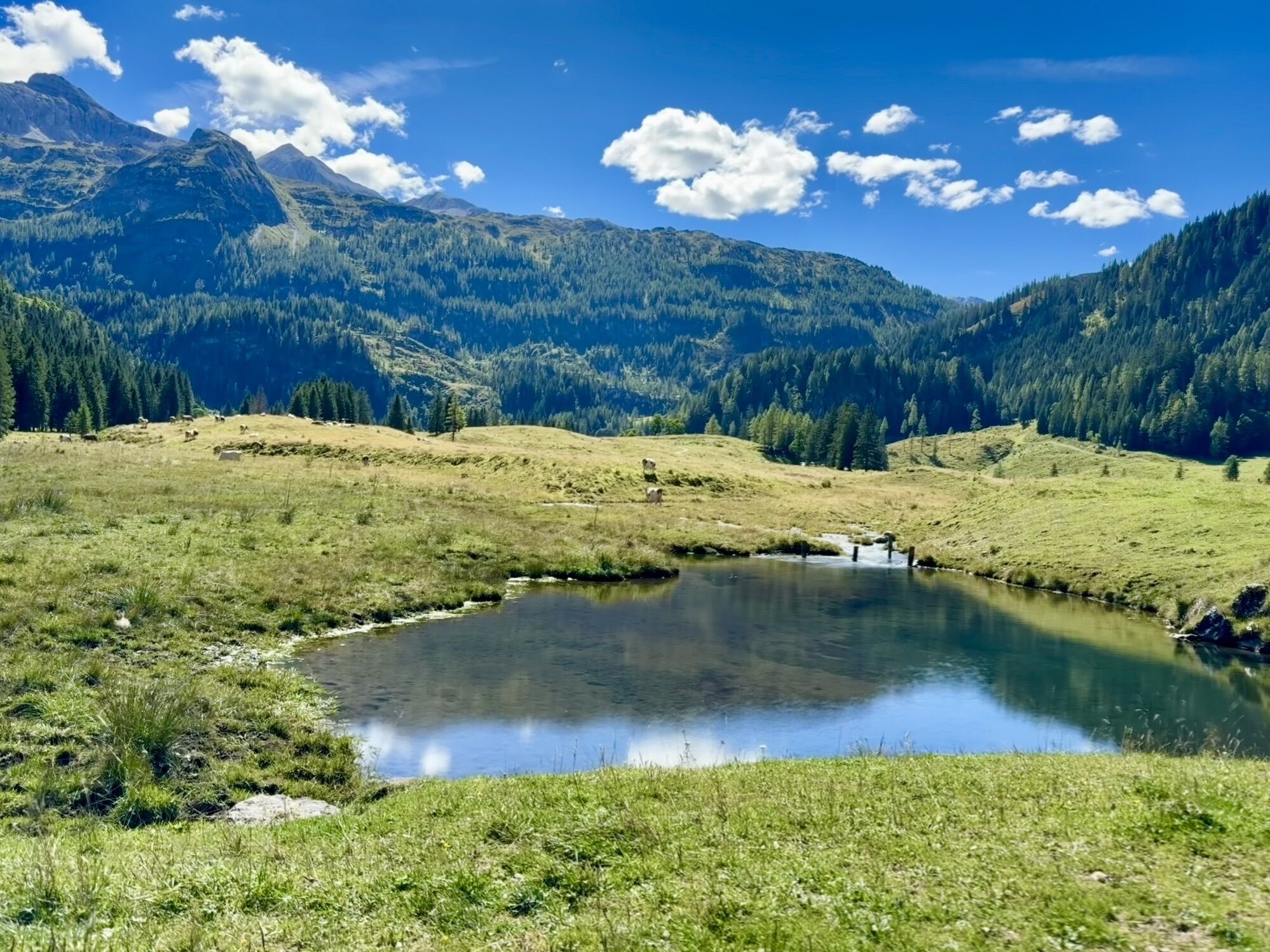
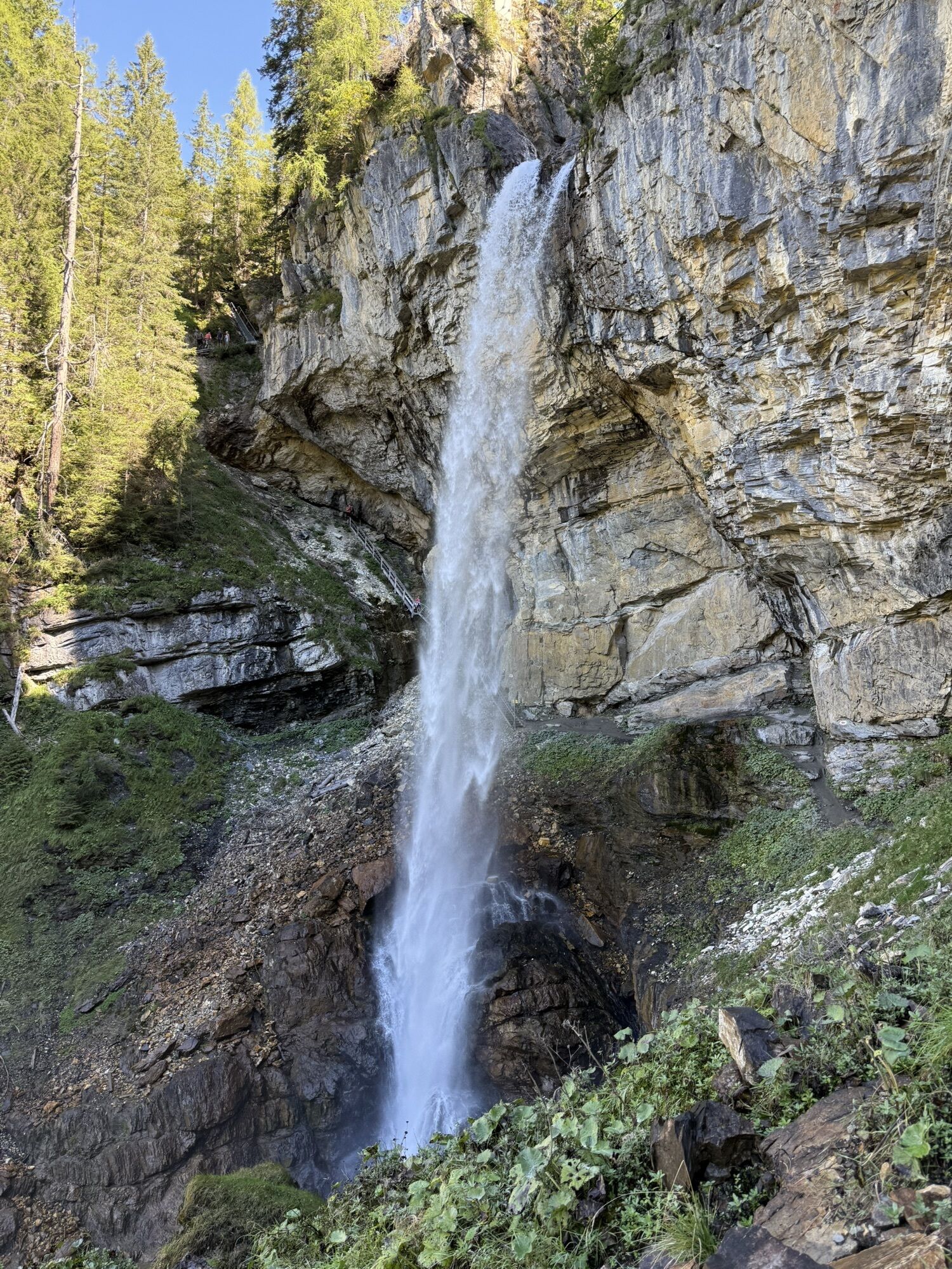
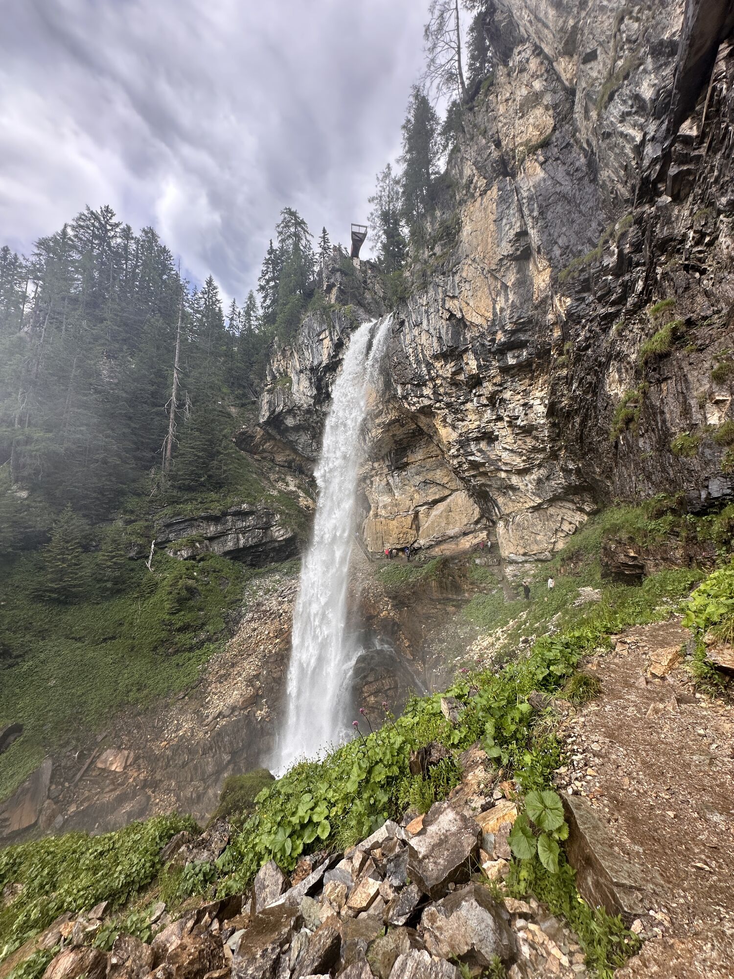
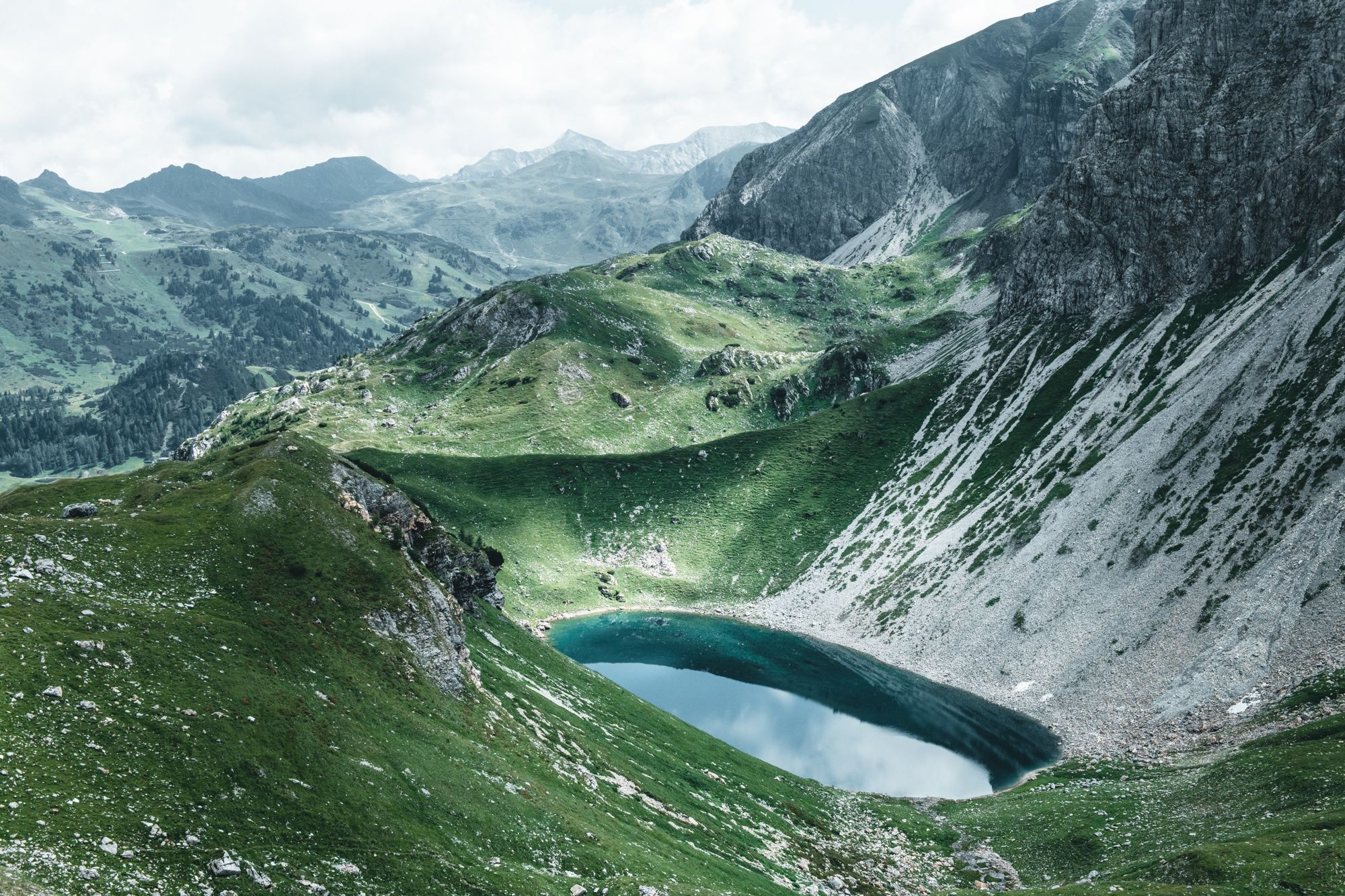
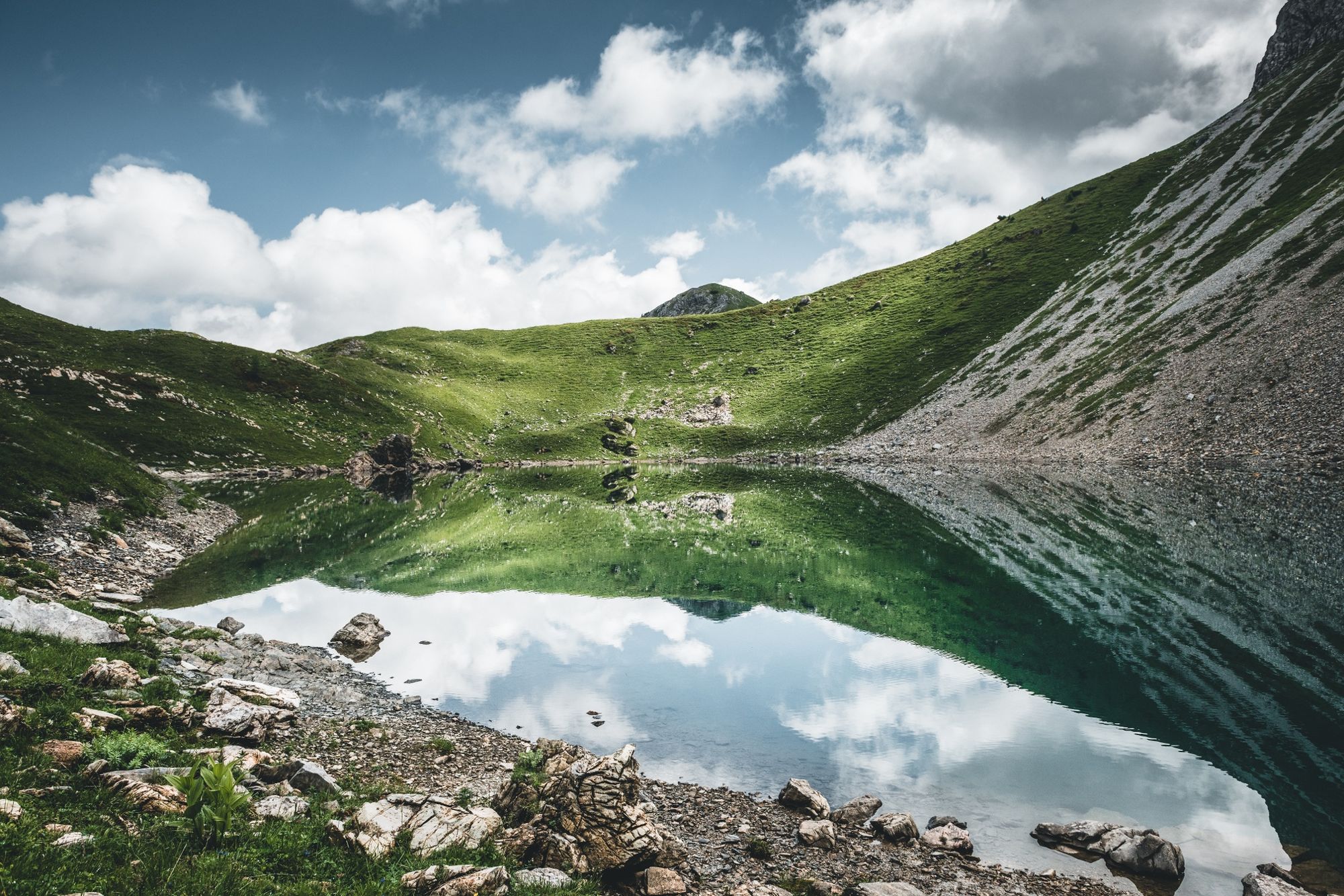
The descent follows the marked trail down to the idyllic Wildsee – a quiet spot for a break – before the path leads over the charming Wildalm down to the Johannes Waterfall. The last section back to the Gnadenalm runs over forest roads and offers a relaxed conclusion after the demanding mountain hike.
This round is only suitable for sure-footed and physically fit mountain hikers – a real highlight with around 1,200 meters of elevation in stable weather.




Da
Our tips for the optimal equipment: good footwear, a comfortable backpack, weatherproof clothing in layers, sufficient sun protection, as well as enough to drink – so you are best prepared for your hike.
ARRIVAL BY CAR
Arrive safely, quickly, and easily at your holiday destination. The hike is easily accessible via well-developed roads – from all directions!
Access from the North
Motorway Munich - Salzburg - A10 Tauern Motorway - Radstadt motorway exit, Exit 63 - B99 Katschberg Federal Road - Radstadt - parking lot Gnadenalm Stüberl
Access from the South
Villach - A10 Tauern Motorway - motorway exit toll station St. Michael, Exit 104 - Mauterndorf - Obertauern - parking lot Gnadenalm Stüberl
Access from the East
Vienna - A2 - S6 - Semmering - A9 Pyhrn Motorway - Liezen B320 - Radstadt or Judenburg - Murtal Federal Road - Murau - Tamsweg - Mauterndorf - Obertauern - parking lot Gnadenalm Stüberl
You can park free of charge at the parking lot by the Gnadenalm Stüberl. This parking lot is also the starting point for the hike.
T3
Summer cable cars in Obertauern
Walking times calculated according to the specifications of the Alpine Club:
Photo point Wildsee & Johannes Waterfall!
Spletne kamere s turneje
-
Gamskogelhütte
-
Plattenkar
-
Gnadenalm
-
Grünwaldkopf
-
Zehnerkar
-
Seekar
-
Sporthotel Snowwhite
-
Hotel Cinderella
-
Sonnenterasse Edelweissalm
-
Hotel Garni Gloria
-
Lürzeralm
-
Hotel Kesselspitze
-
Hotel Auerhahn - Obertauern
-
Hotel Schneider
-
Breitlehenalm
-
Zauchensee Weltcuparena
-
Gamsleiten
-
Zauchensee
-
Hochalmkopf
-
Zauchensee Weltcuparena
-
Zauchensee Weltcuparena
-
Zauchensee Weltcuparena
-
Zauchensee Weltcuparena
-
Zauchensee Weltcuparena
-
Obertauern - Haus Petergstamm
-
Zauchensee - Hotel Alpenhof
-
Seekarhaus - Obertauern
-
Seekarhaus - Bergstation Seekarspitzbahn
-
Zauchensee - Rosskopf
-
Seekarhaus 3
-
Schaidberg
-
Zehnerkar
-
Obertauern - Aparthotel Weninger Alm
-
Obertauern - Hundskogel
-
Obertauern - Gamsleiten
-
Hotel “Der Sailer”
-
Gamsleiten
Pridobite vpogled
Vedno v živo na mestu z več kot 9.500 spletnimi kamerami. bergfex Kot uporabnik Pro si lahko zdaj ogledate ustrezne spletne kamere za številne izlete v aplikaciji izleti iz. Tako si lahko neposredno ogledate trenutne razmere.
Priljubljeni izleti v okolici
-
4.9
Rundwanderweg von der Fallhausalm und Vögeialm übers Klamml zur Oberhütte am See
srednjaPohodništvo 10 km -
4.1
Tappenkarsee Kleinarl
srednjaPohodništvo 9.11 km -
4.6
Ski route Lackenkogel
srednjaSmučarska tura 7.82 km -
5.0
Twengsee
srednjaPohodništvo 9.66 km -
4.8
Obertauern to the Johannes Waterfall
srednjaPohodništvo 9.39 km -
4.7
Reiteralmrunde
svetlobaPohodništvo 5.71 km -
5.0
Doggotour von Hochwurzen zur Ursprungsalm
težkoPohodništvo 16.0 km -
4.6
Mosermandl Windischscharte, Salzburger Land/Österreich
težkoPohodništvo 14.6 km -
4.5
Ursprungalm - Hochwurzen
srednjaPohodništvo 9.37 km -
4.5
Tappenkarseehütte von Schwabalm
svetlobaPohodništvo 5.04 km
Pohodništvo in sledenje


Ne zamudite ponudb in navdiha za naslednje počitnice
Vaš e-poštni naslov je bil dodan na poštni seznam.





