


Alpine hike to Erichhütte


Fotografije naših uporabnikov
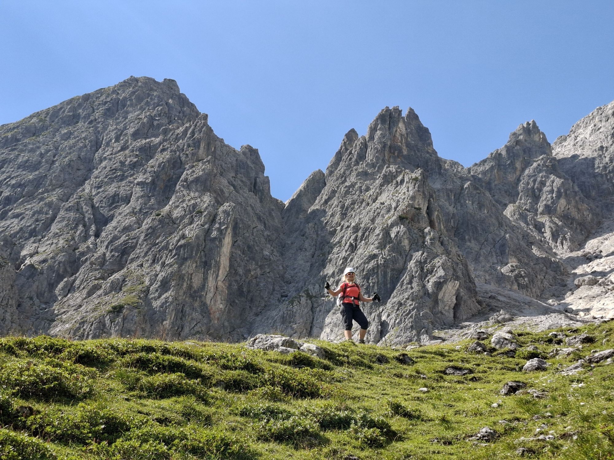
 © Monika JeskovaUstvarjeno na 18.10.2025
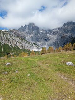 © Monika JeskovaUstvarjeno na 18.10.2025
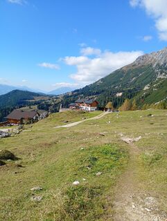 © Monika JeskovaUstvarjeno na 18.10.2025
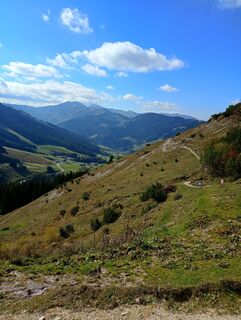 © Monika JeskovaUstvarjeno na 18.10.2025
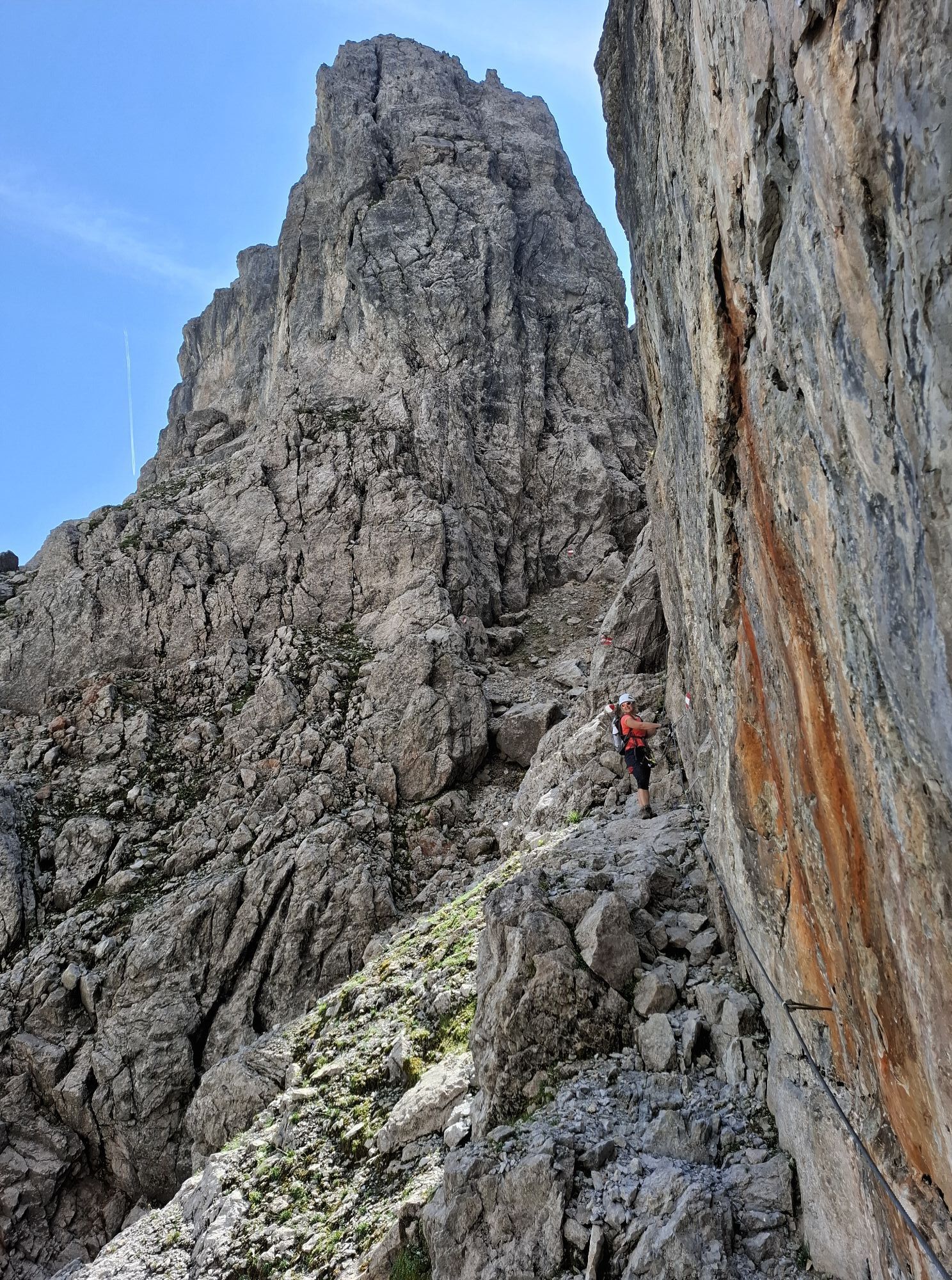
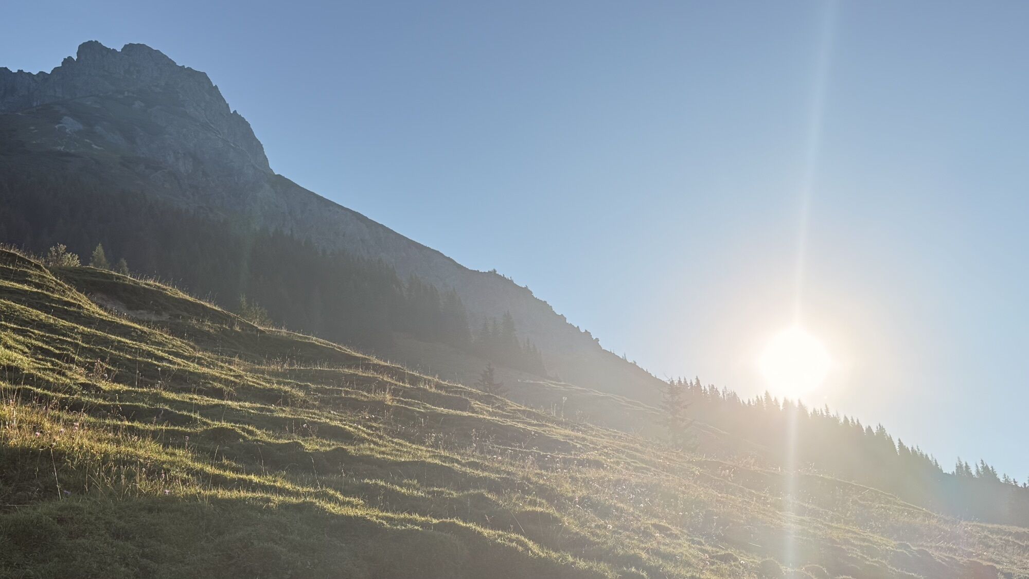
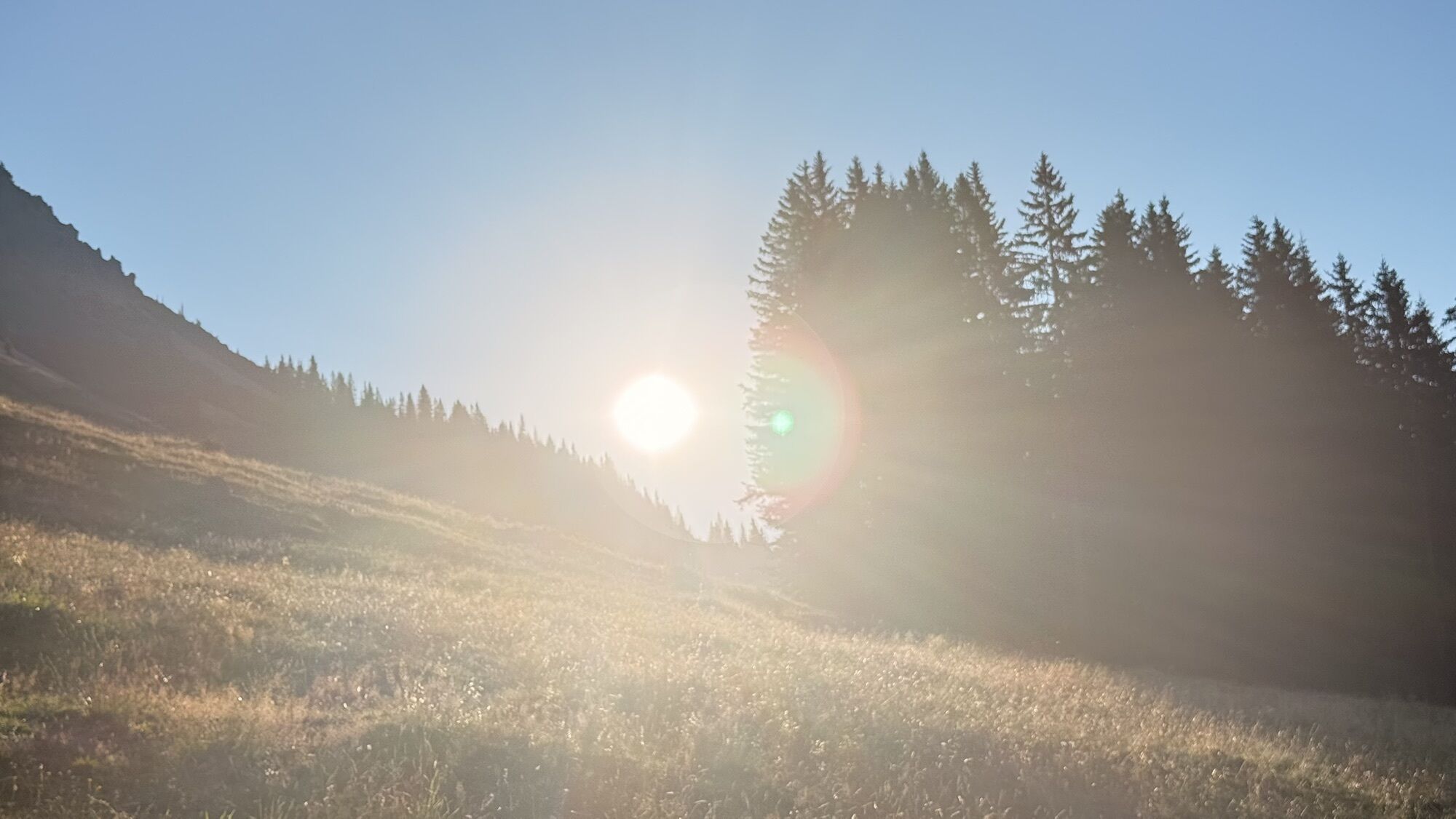
 © Dirk VollbrechtUstvarjeno na 30.07.2025
 © Dirk VollbrechtUstvarjeno na 30.07.2025
 © Dirk VollbrechtUstvarjeno na 30.07.2025
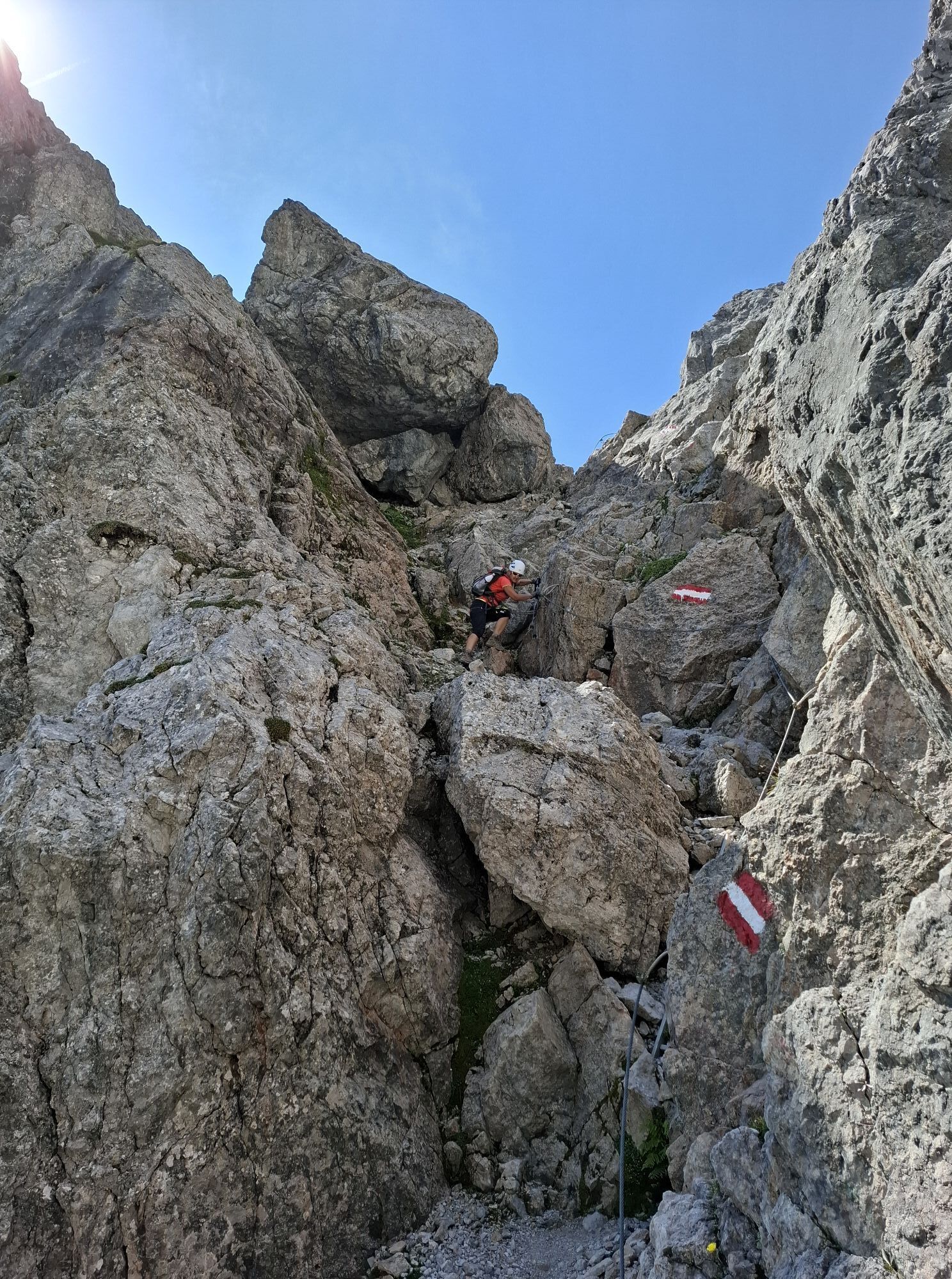
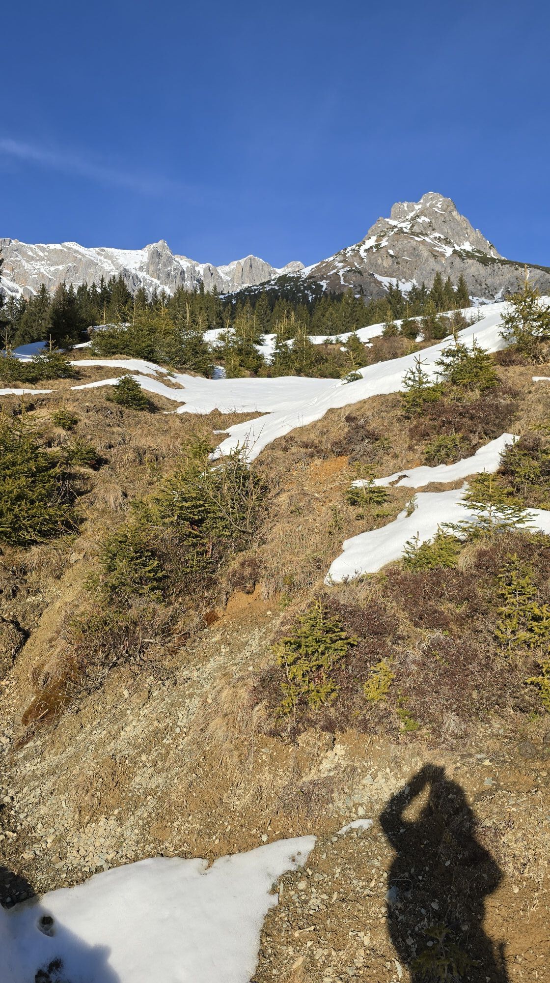
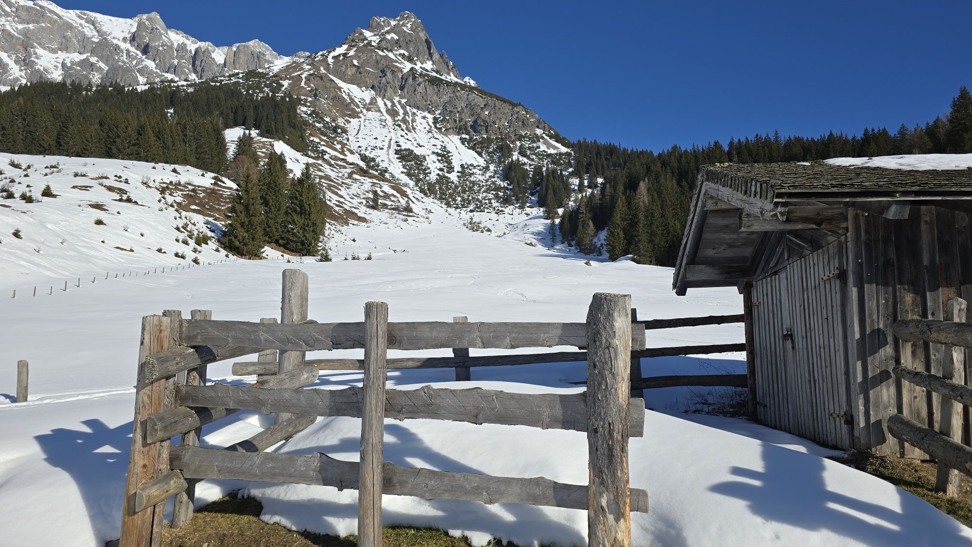
 © Daniel PunzUstvarjeno na 27.01.2023
 © Daniel PunzUstvarjeno na 27.01.2023
 © Daniel PunzUstvarjeno na 27.01.2023
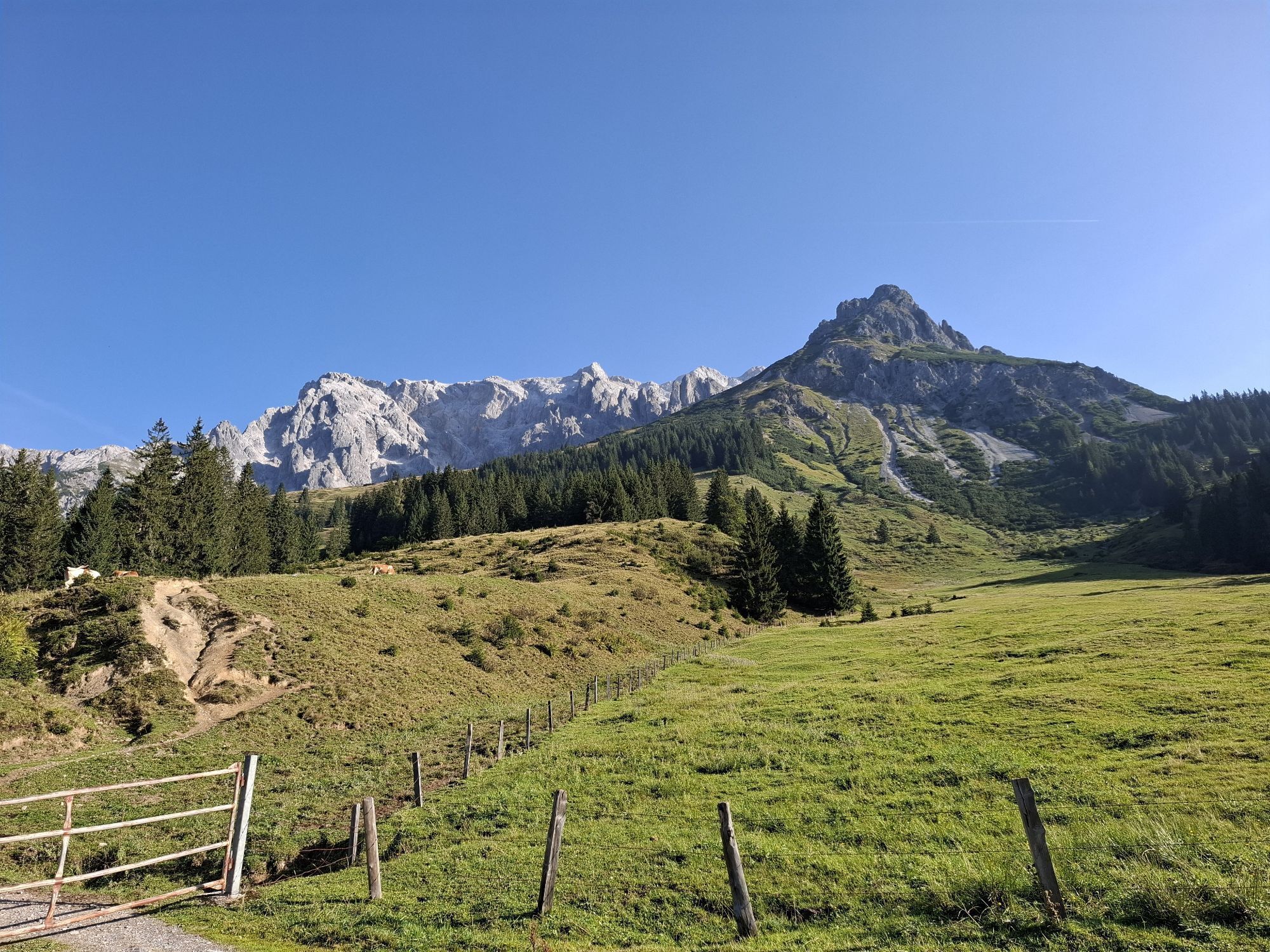
 © Hannes HöffererUstvarjeno na 01.11.2024
 © Hannes HöffererUstvarjeno na 01.11.2024
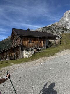 © Hannes HöffererUstvarjeno na 01.11.2024
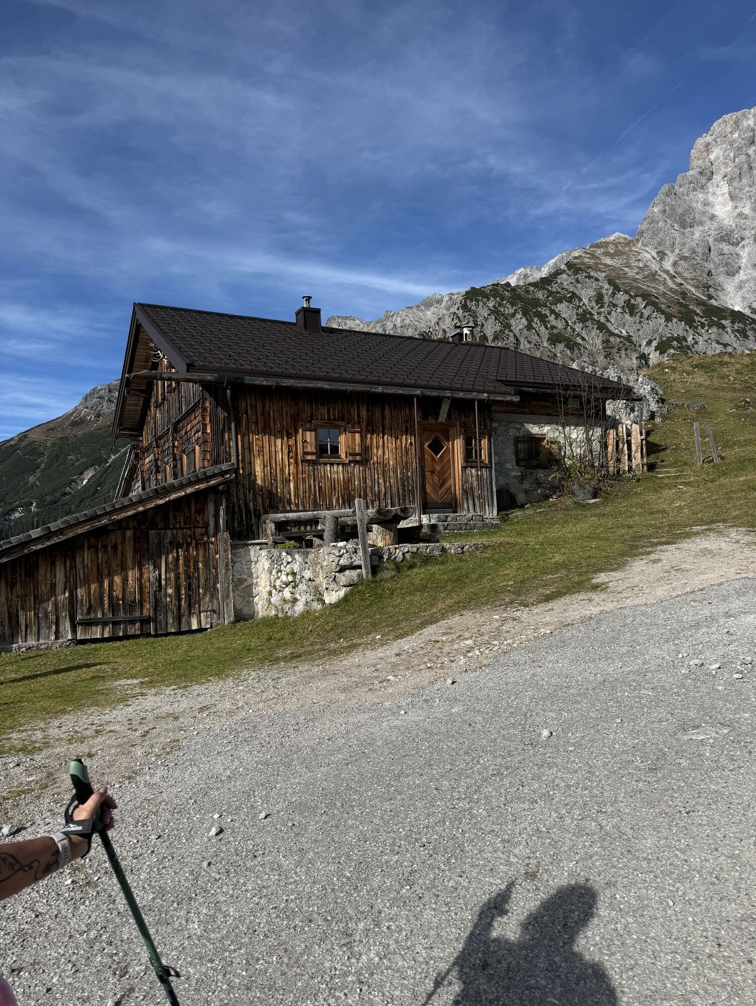
 © Klaus NeuholdUstvarjeno na 02.09.2024
 © Klaus NeuholdUstvarjeno na 02.09.2024
 © Klaus NeuholdUstvarjeno na 02.09.2024
 © Klaus NeuholdUstvarjeno na 02.09.2024
 © Klaus NeuholdUstvarjeno na 02.09.2024
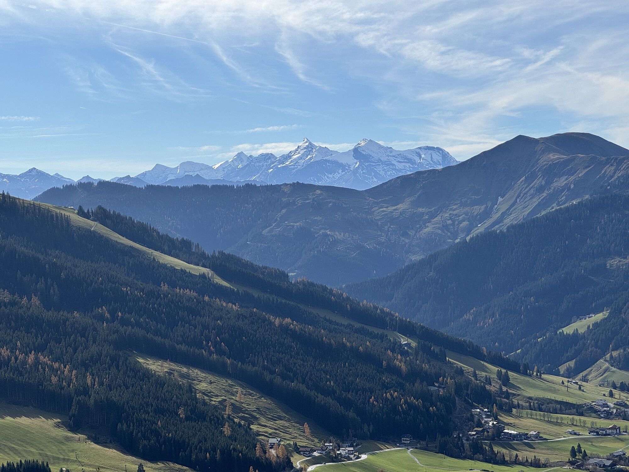
 © Erich MatheisUstvarjeno na 09.08.2025
 © Erich MatheisUstvarjeno na 09.08.2025
 © Erich MatheisUstvarjeno na 09.08.2025
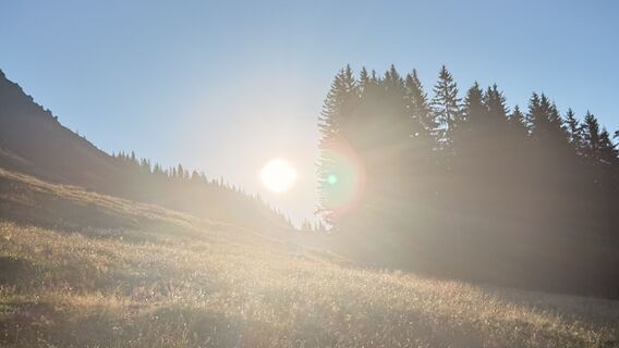 © Erich MatheisUstvarjeno na 09.08.2025
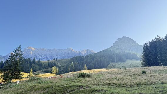 © Erich MatheisUstvarjeno na 09.08.2025
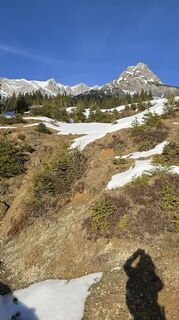
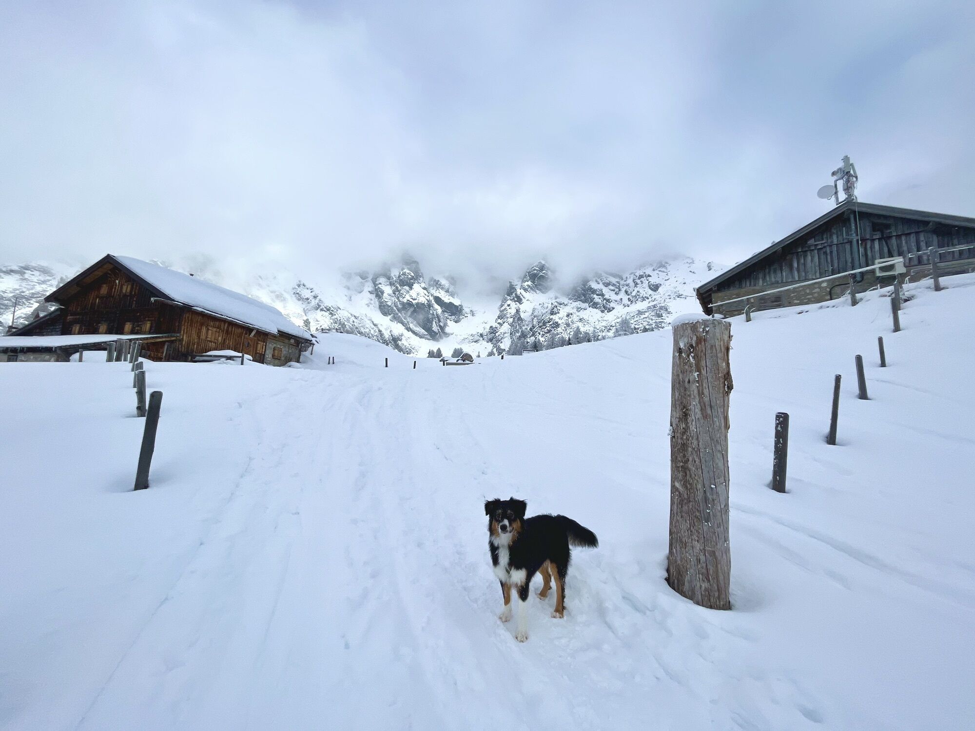
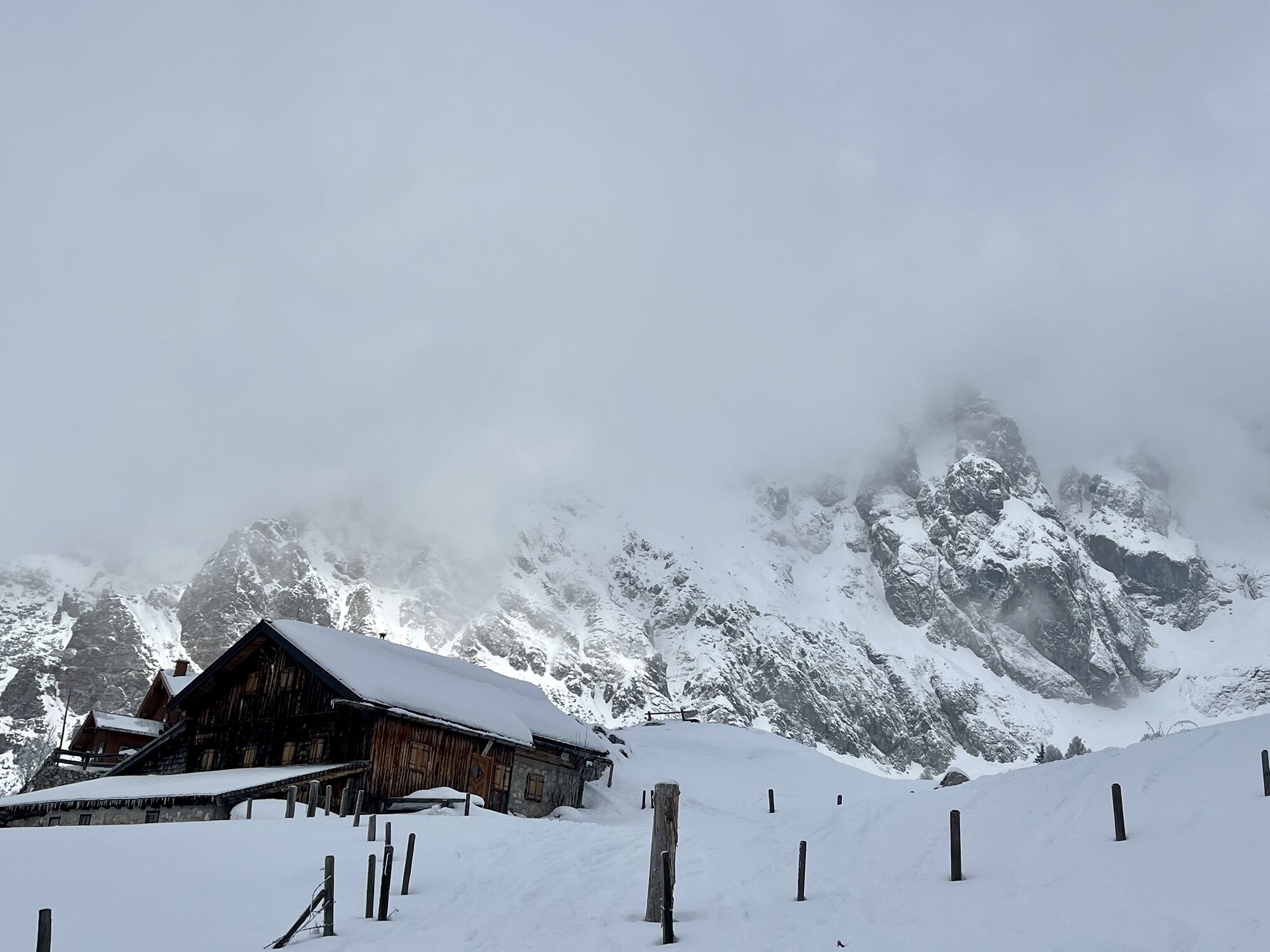
 © Sigrid BöhmUstvarjeno na 20.01.2025
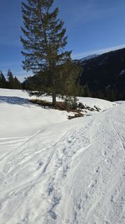 © Sigrid BöhmUstvarjeno na 20.01.2025
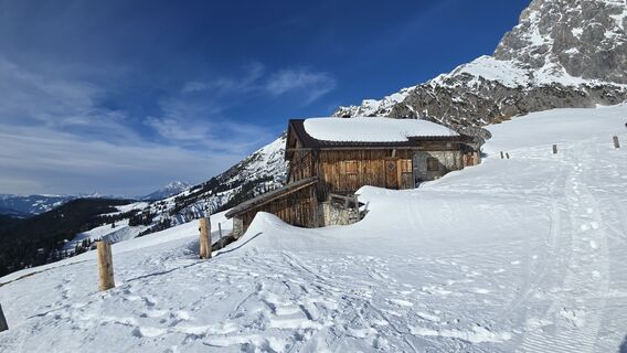 © Sigrid BöhmUstvarjeno na 20.01.2025
 © Sigrid BöhmUstvarjeno na 20.01.2025
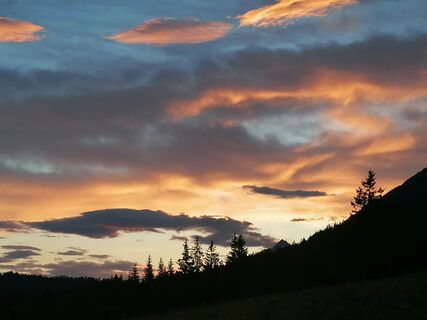
 © luyyyUstvarjeno na 25.06.2024
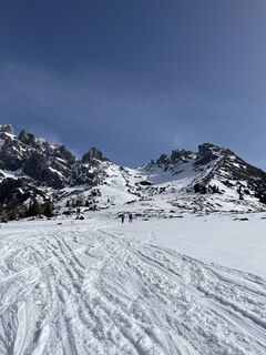
 © Heinz SperlUstvarjeno na 26.03.2024
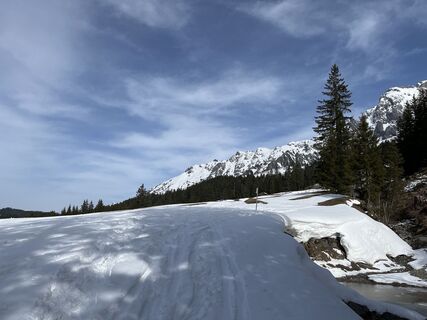 © Heinz SperlUstvarjeno na 26.03.2024
 © Heinz SperlUstvarjeno na 20.03.2024
 © Heinz SperlUstvarjeno na 20.03.2024
 © Heinz SperlUstvarjeno na 20.03.2024
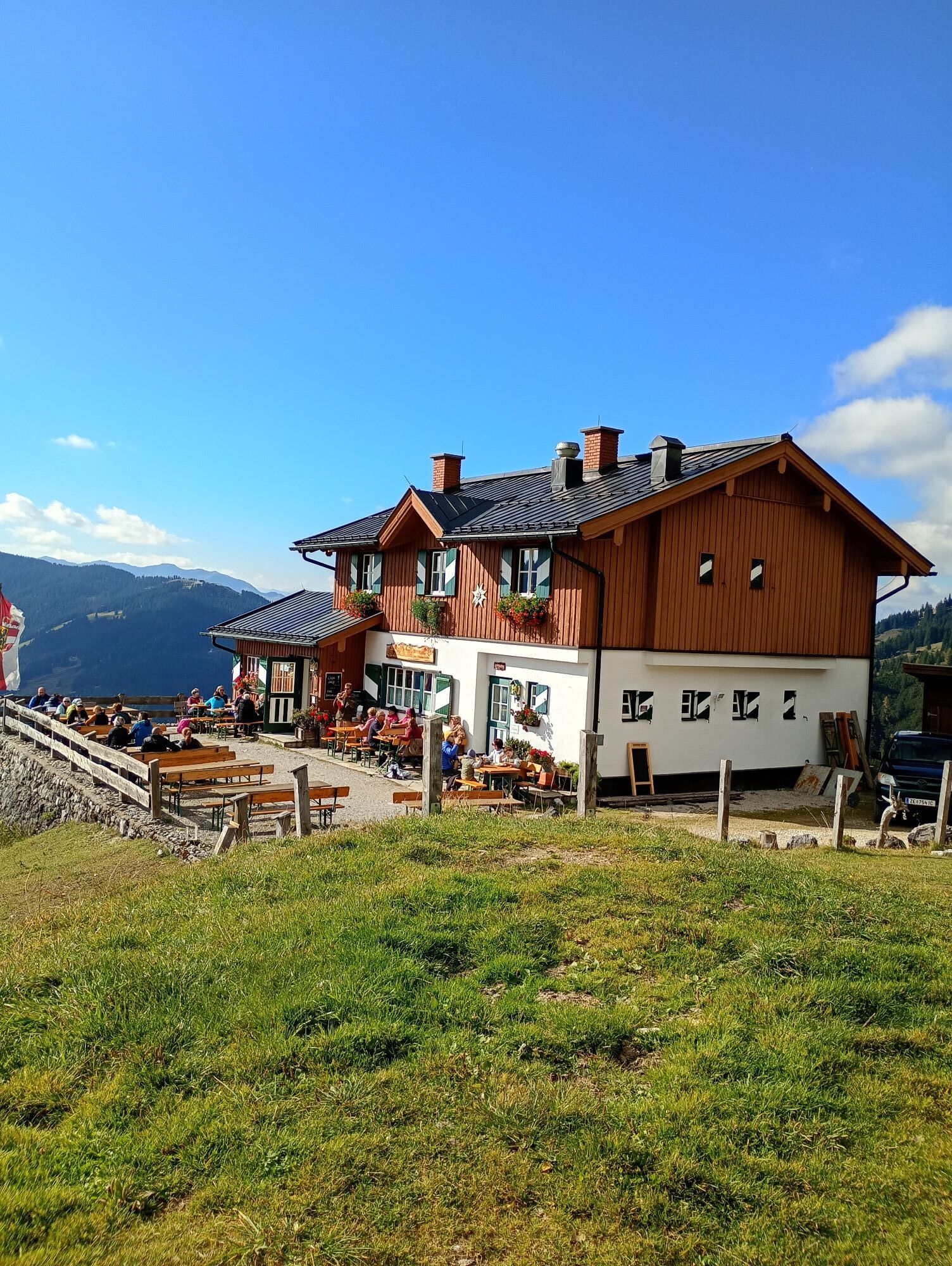

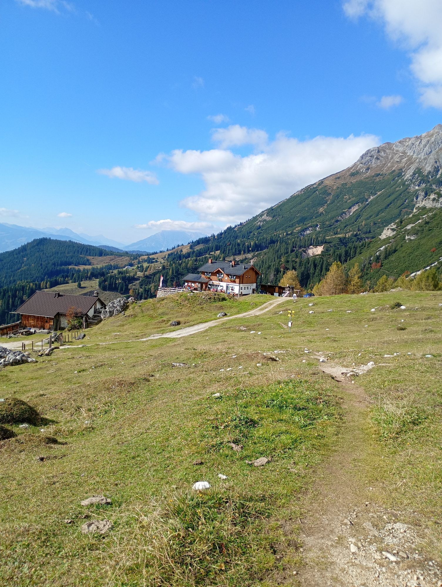


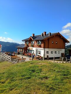
You start your hike from Dientner Sattel. You can park at the Erichhütte parking lot. From there, a forest road leads up to the Erichhütte. After reaching the Erichhütte, follow the high trail towards...
You start your hike from Dientner Sattel. You can park at the Erichhütte parking lot. From there, a forest road leads up to the Erichhütte. After reaching the Erichhütte, follow the high trail towards Stegmoosalm. Soon you will reach a junction towards Dientner Sattel/Birgkarhaus or Dientalm. This way you reach the federal road again and can follow the road to your starting point.

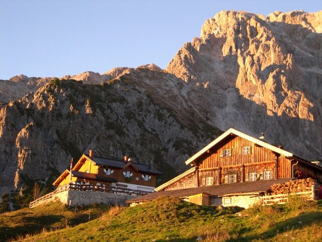
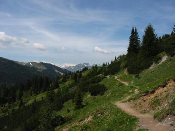
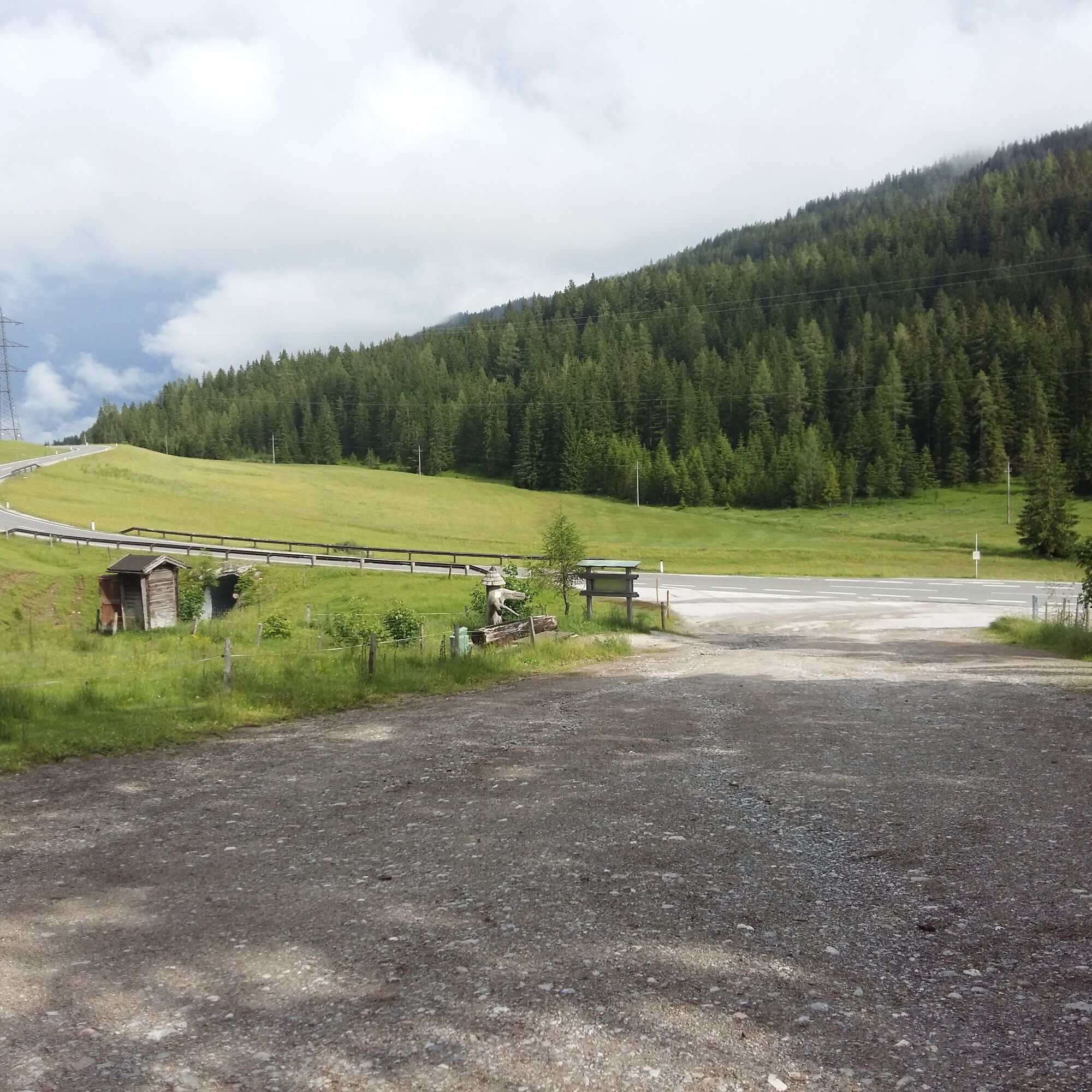
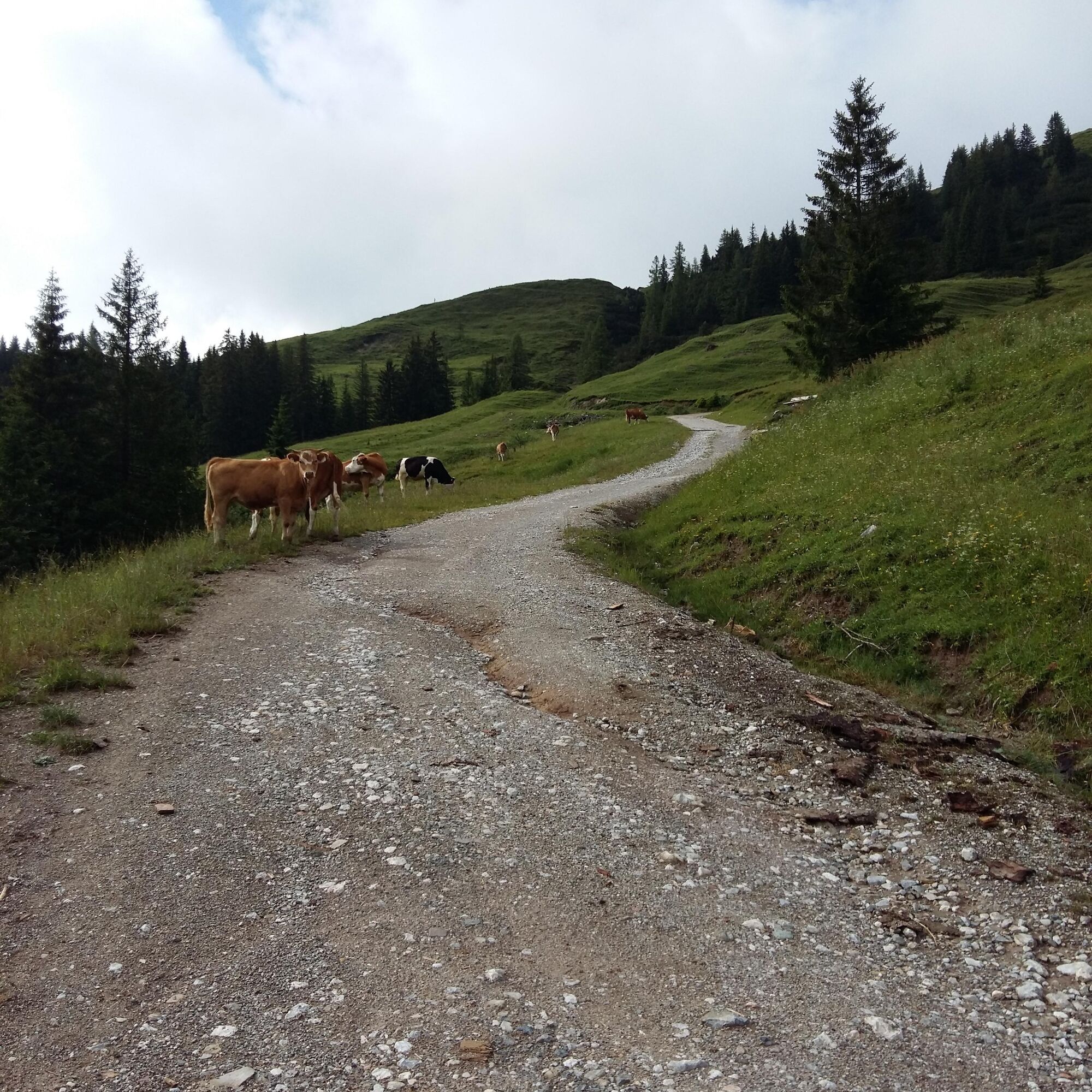
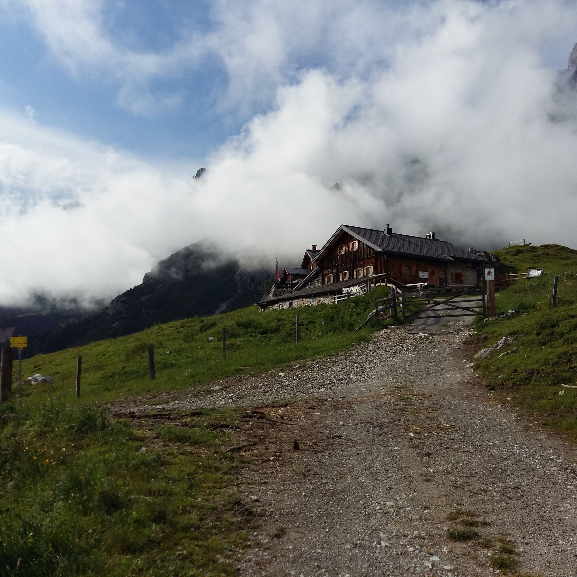
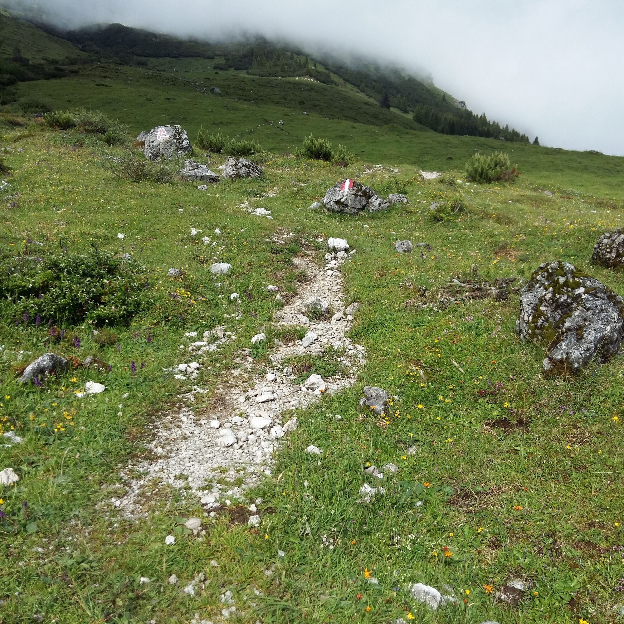
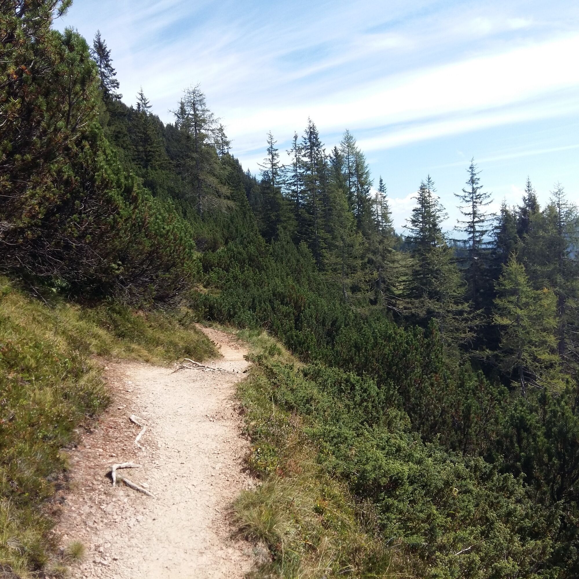
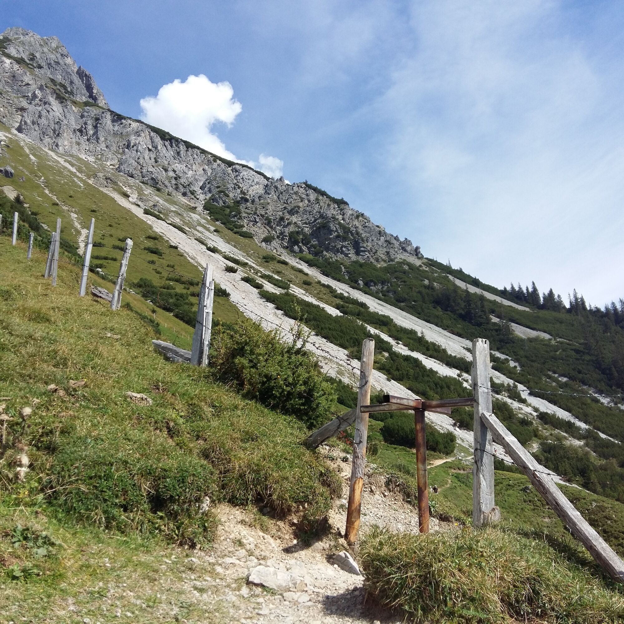
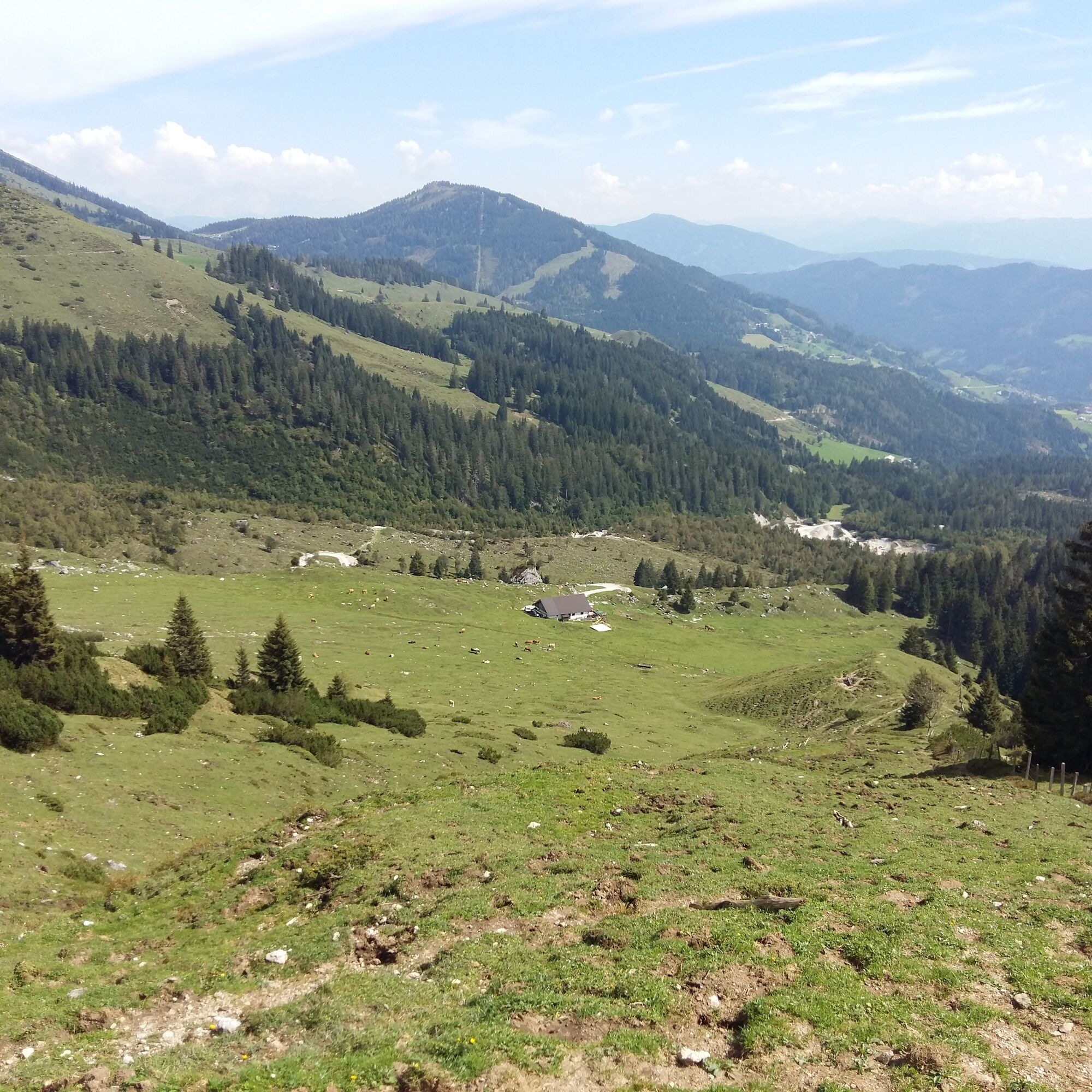
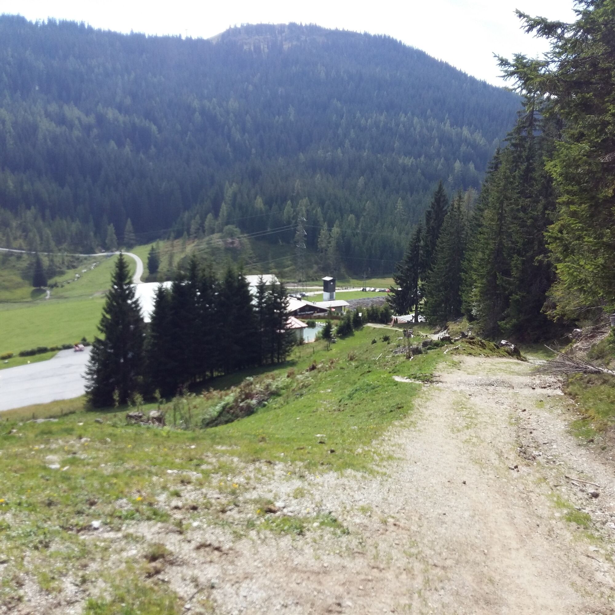
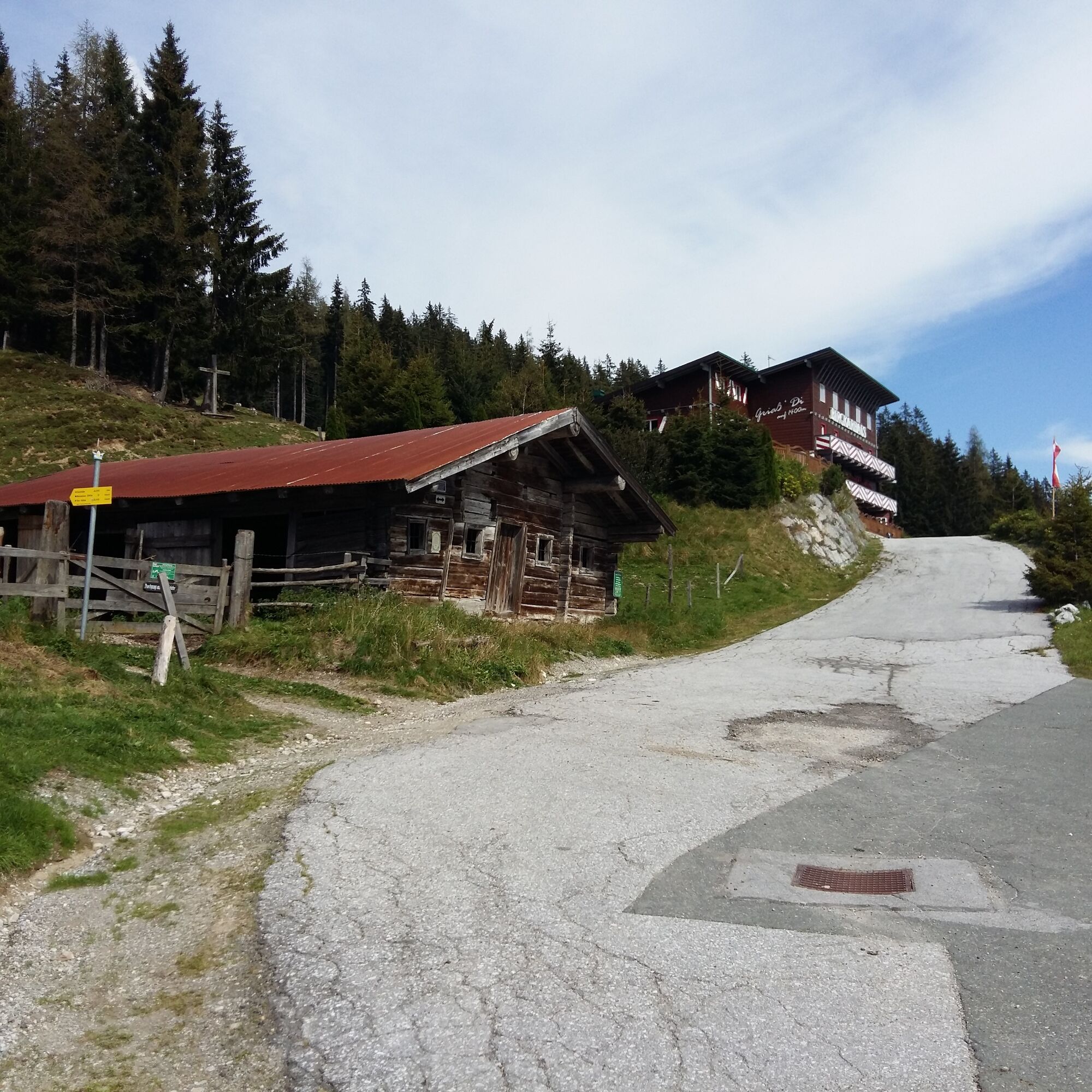
You start your hiking route at the Dientner Sattel at the Erichhütte parking lot. Here you leave your car or get off the hiking bus (stop: Parkplatz Erichhütte). Now you hike up the forest road (trail no. 432) to the Erichhütte (approx. 40 minutes). Once there, you take a short break (food & drink). Then you follow the high trail towards Stegmoosalm (trail no. 401A). Before reaching Stegmoosalm, a path leads downhill towards Dientner Sattel/Dientalm/Birgkarhaus. Here you follow the path until you arrive at Birgkarhaus. The path goes through a small forest section. Now you can take the hiking bus back to the Erichhütte parking lot or walk downhill toward Dienten until you reach the starting point on the federal road (approx. 600 meters).
Da
Sturdy, ankle-high footwear
Hiking clothing
Hiking poles
Headwear
Sunscreen and sunglasses with UV protection
Rain protection
Drinks and a small snack
Necessary medications
First aid kit
Hiking map
Self-assessment: Before any mountain tour, check your physical fitness and correctly assess your strength as well as that of your companions – especially your children! Surefootedness and a head for heights are often very important!
Planning and preparation: Plan every intended mountain tour carefully in advance. Hiking maps and guides as well as information from alpine clubs and locals such as mountain guides and hut hosts can be helpful.
Equipment: In the mountains, you need appropriate equipment and clothing, especially sturdy, high footwear with a grippy sole. Weather and cold protection are indispensable; the weather can often change quickly.
Weather forecasts: Observe the current weather conditions at: zamg.at or www.uwz.at/.
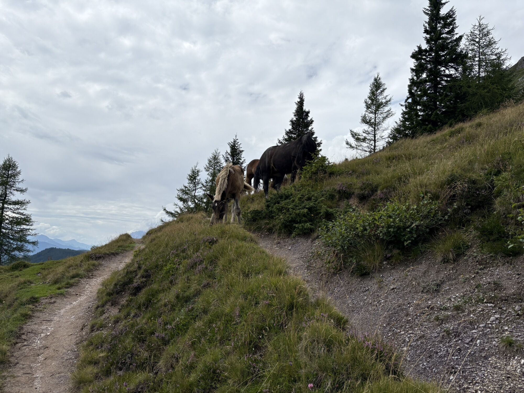
Coexistence: Observe the 10 rules for proper interaction with grazing animals and do not leave any waste in nature!
Do not dislodge stones: Do not dislodge stones as it can seriously endanger other hikers. Areas marked with rockfall hazard should be crossed as quickly as possible, attentively and carefully.
Turn back in time: This is no disgrace but a sign of prudence. It becomes necessary if the weather changes, fog rolls in, or if the route is too difficult or in bad condition.
Emergency numbers: Alpine emergency: 140, international emergency: 112, rescue: 144
By car towards Mühlbach at the Dientner Sattel on the right side - by hiking bus towards Arthurhaus to the stop Parkplatz Erichhütte
Erichhütte parking lot or at the Dientalm
Further information on hikes and activities in the Hochkönig region:
For detailed information about hiking maps, opening times of mountain lifts, as well as huts and alpine pastures in summer, we recommend visiting the service center on site. There you will not only receive the hiking map but also valuable tips about the best hiking routes and current conditions.
Opening times of the mountain lifts in summer: The lifts offer varying opening hours depending on weather conditions and season during the summer months. Please check the current operating times in advance.
Opening times of huts & alpine pastures in summer: The huts and alpine pastures in the region are ideal rest stops for hikers. Here too, opening times can vary depending on the season and day of the week. Let the friendly hosts advise you about offerings and specialties on site.
For further information, please visit our website: www.hochkoenig.at.
If you have questions or want to get specific information, feel free to contact us:
Email: region@hochkoenig.at
Phone: +43 (0)6584 20388
We look forward to helping you and wish you lots of fun exploring the beautiful hiking region Hochkönig!
At the Erichhütte a very special treat awaits you: the Kaiserschmarrn!
Spletne kamere s turneje
Mühlbach am Hochkönig
Maria Alm - Hochmaisbahn
Bürglalmlift - Dienten
Mühlbach am Hochkönig
Bergstation Kings Cab
Matrashaus am Hochkönig
Grünegg Alm & Edelbrennerei
Dienten - Übergossene Alm Resort
Dienten - Almsee
Dienten - Übergossene Alm Resort
Dienten, Bürglalmabfahrt
Bergstation Kings Cab
Bergstation Kings Cab
Bergstation Kings Cab
Bergstation Kings Cab
Bergstation Kings Cab
Bergstation Kings Cab
Bergstation Kings Cab
Bürglalmbahn Abfahrt
Hochkönigblick
Priljubljeni izleti v okolici
- 4,8
Summit storming route Taghaube
težkoPohodništvo6,25 km - 4,9
Hochkönig - Gipfel der Gefühle - Matrashaus
težkoPohodništvo20,9 km - 3,8
Hochkönig summit route - main ascent
težkoPohodništvo18,1 km - 4,7
Panorama hike to the Hochkeil
srednjaPohodništvo6,07 km - 4,8
Summit stormer route Lauskopf
težkoPohodništvo8,16 km - 3,6
Wanderung zur Ostpreußenhütte in Werfen (1.630 m)
srednjaPohodništvo11,2 km - 4,7
About the "Four Huts circular route" to Windraucheggalm
srednjaPohodništvo10,1 km - 3,7
Auf die Ostpreussenhütte
srednjaPohodništvo16,6 km - 4,4
Riemannhaus
težkoPohodništvo3,69 km - 3,9
Mühlbacher Höhenweg
srednjaPohodništvo11,2 km
Pohodništvo in sledenje


Ne zamudite ponudb in navdiha za naslednje počitnice
Vaš e-poštni naslov je bil dodan na poštni seznam.