







Krimmler Tauern (crossing)

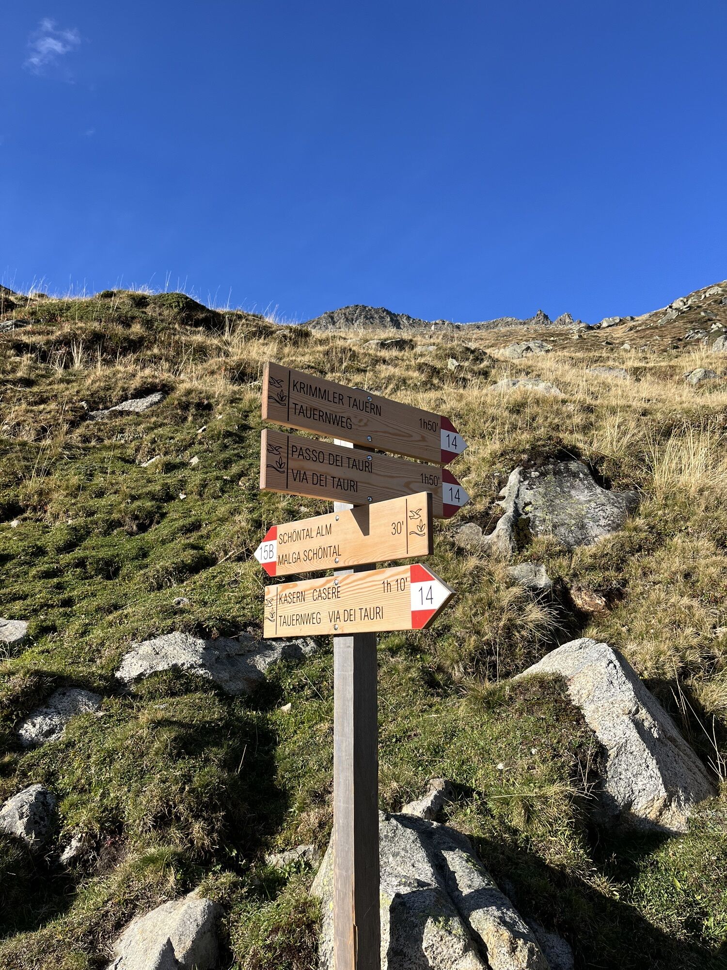
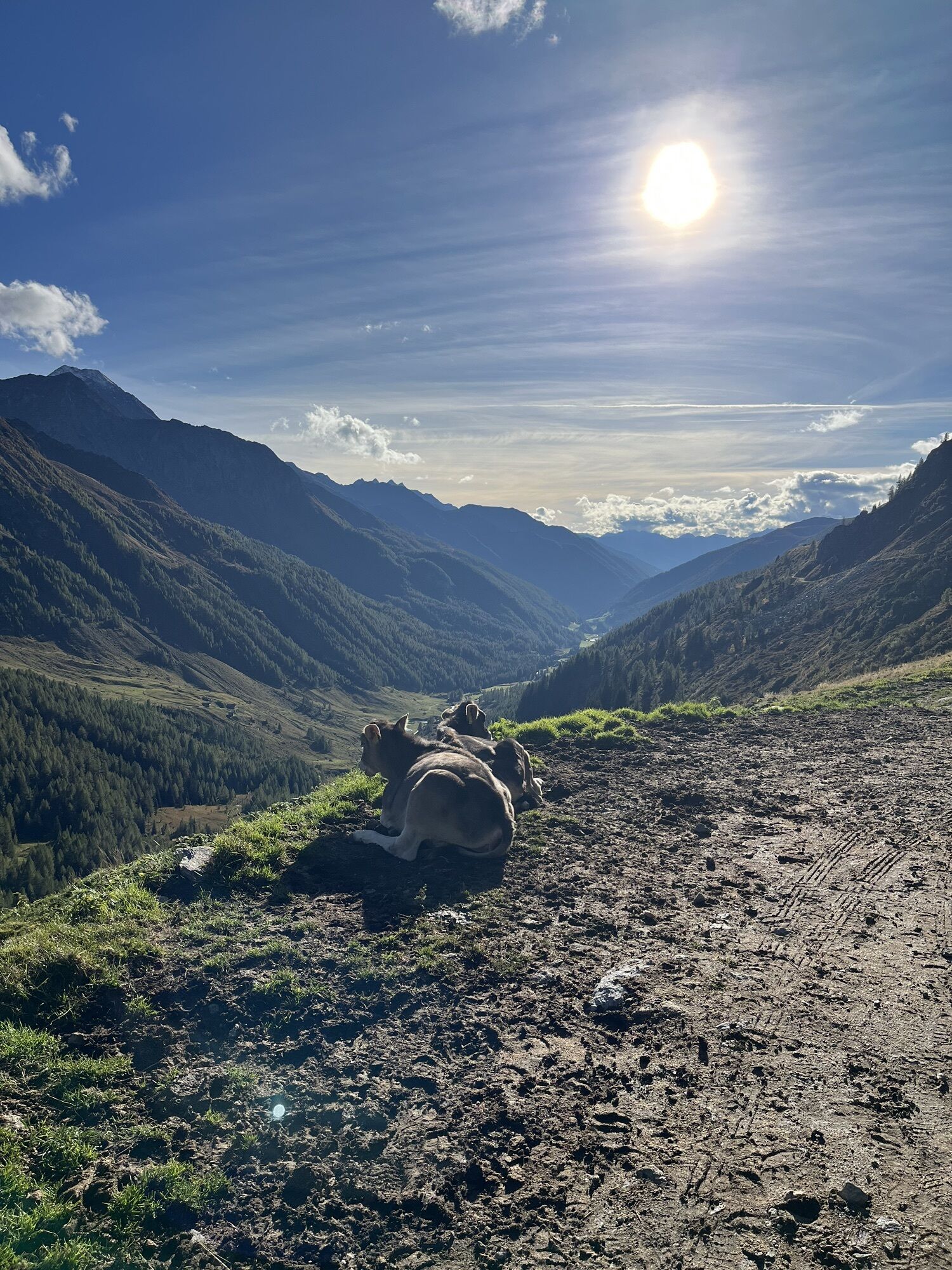
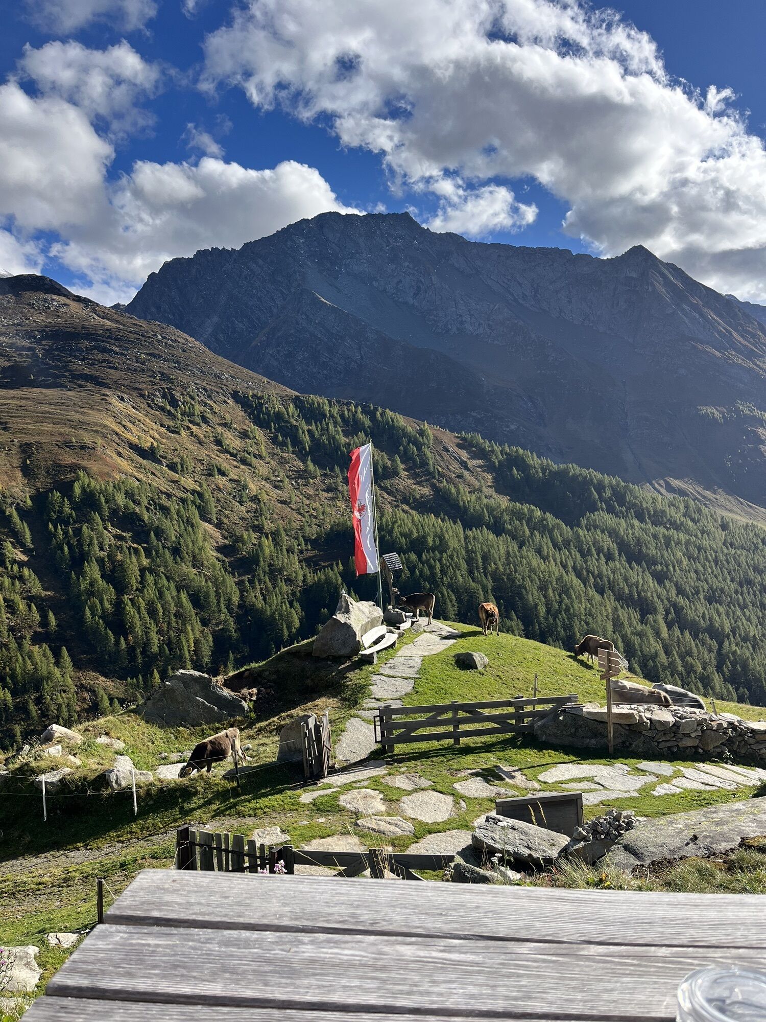
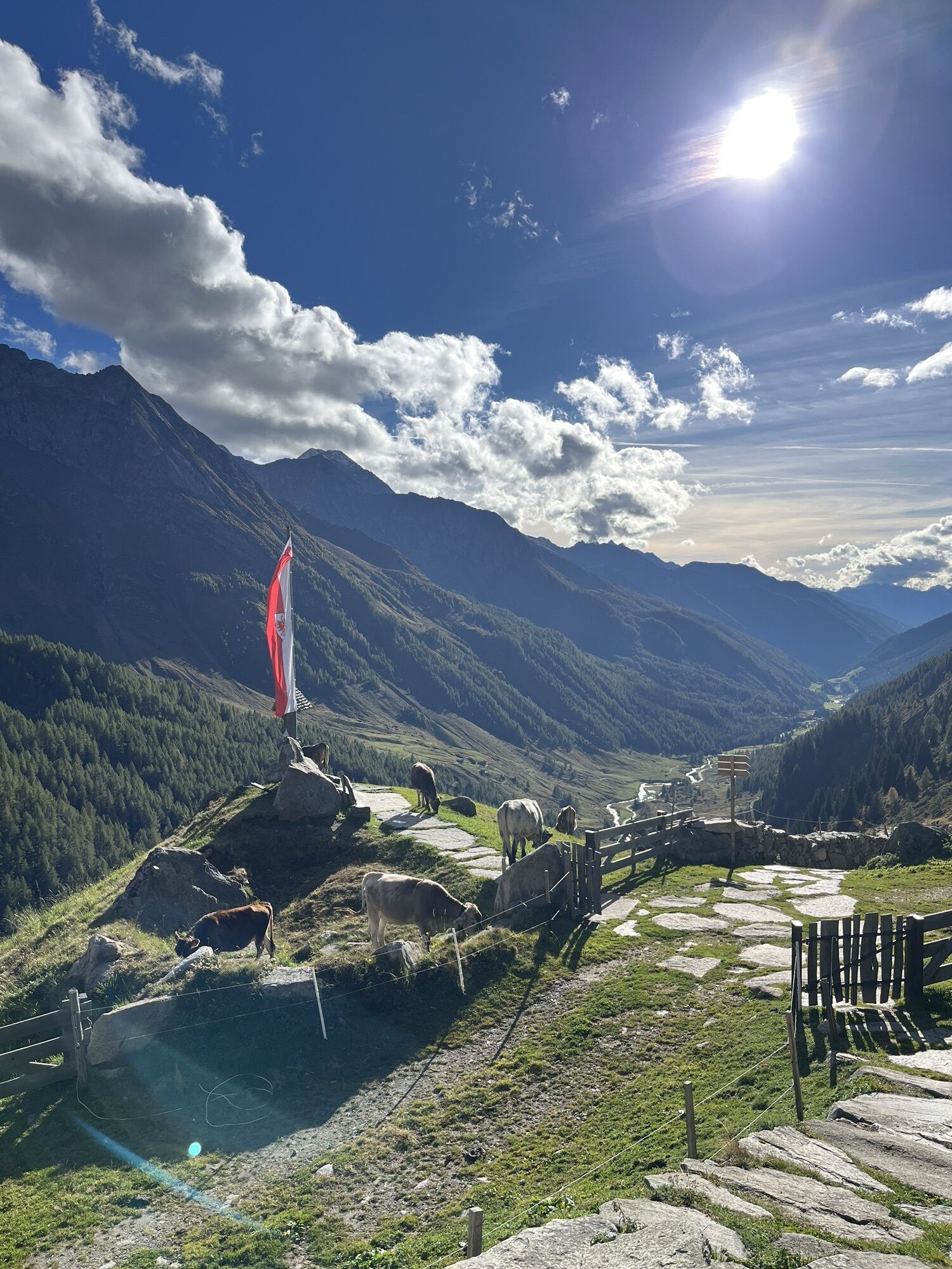
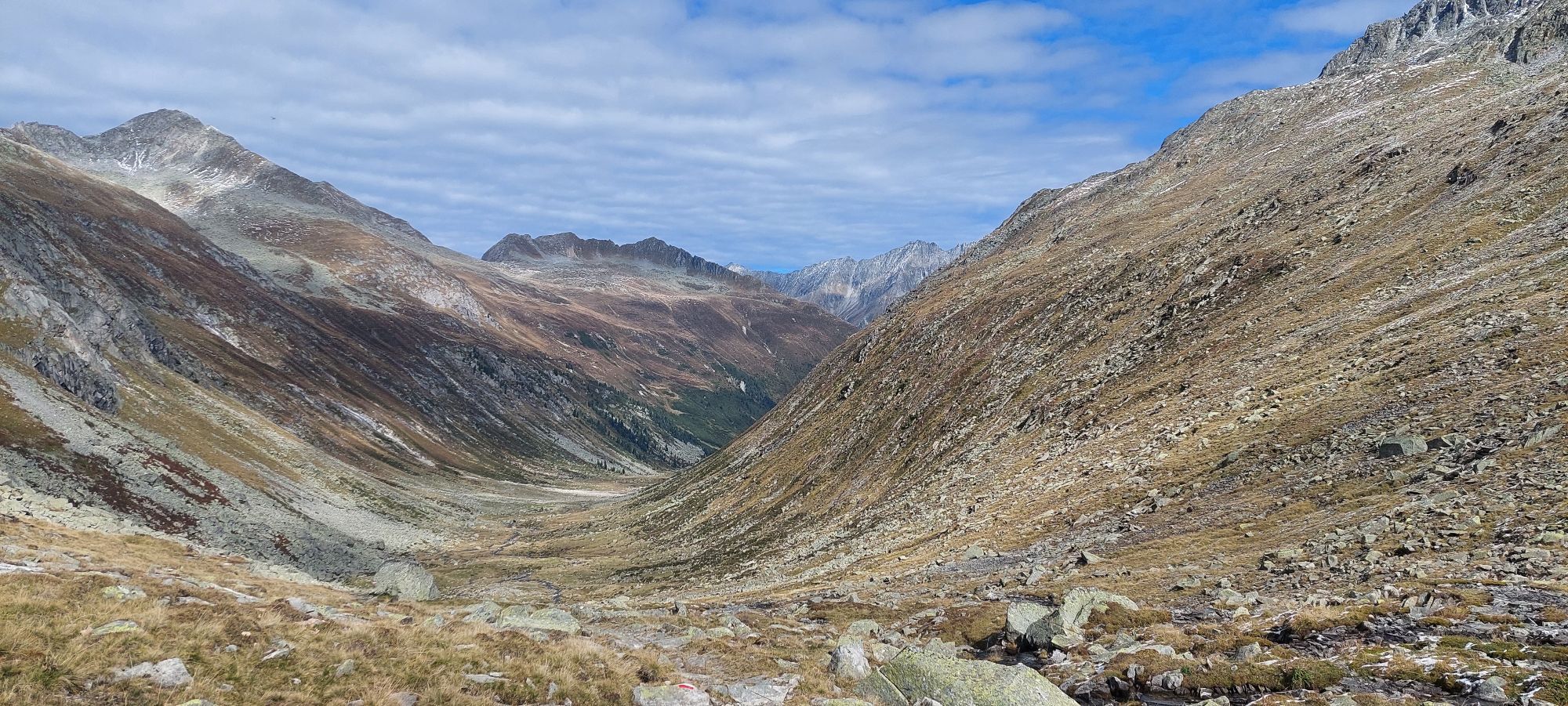
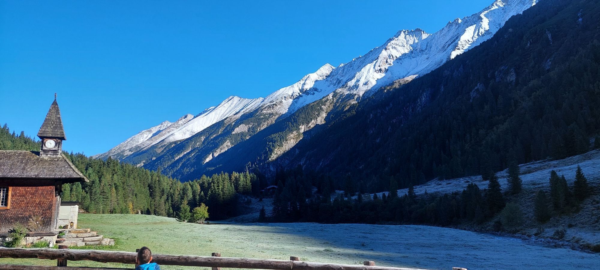
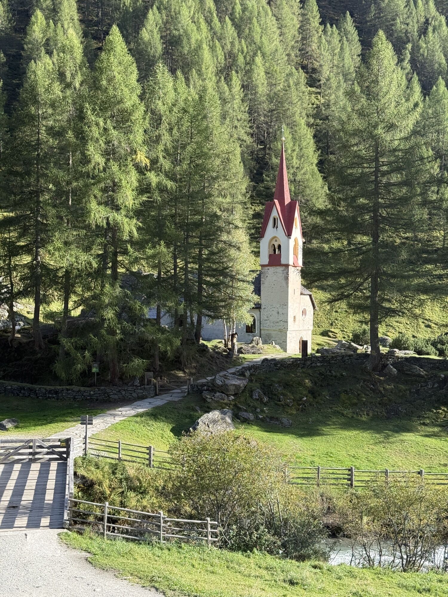
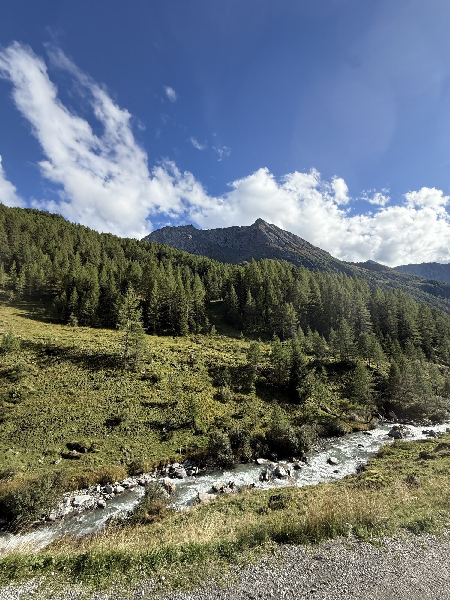
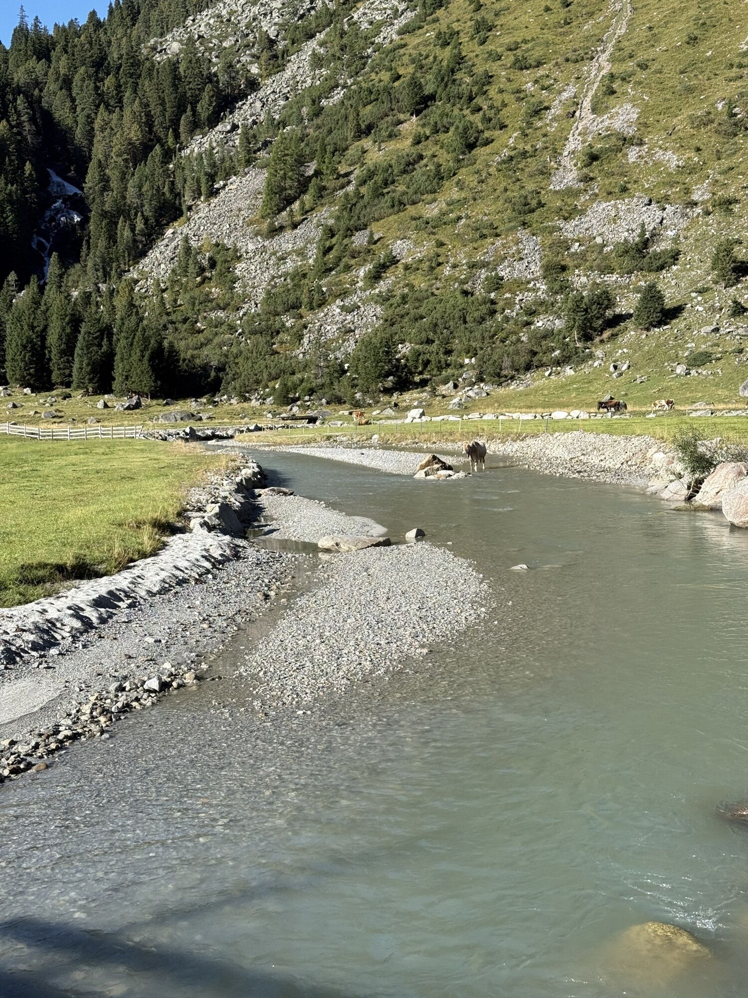
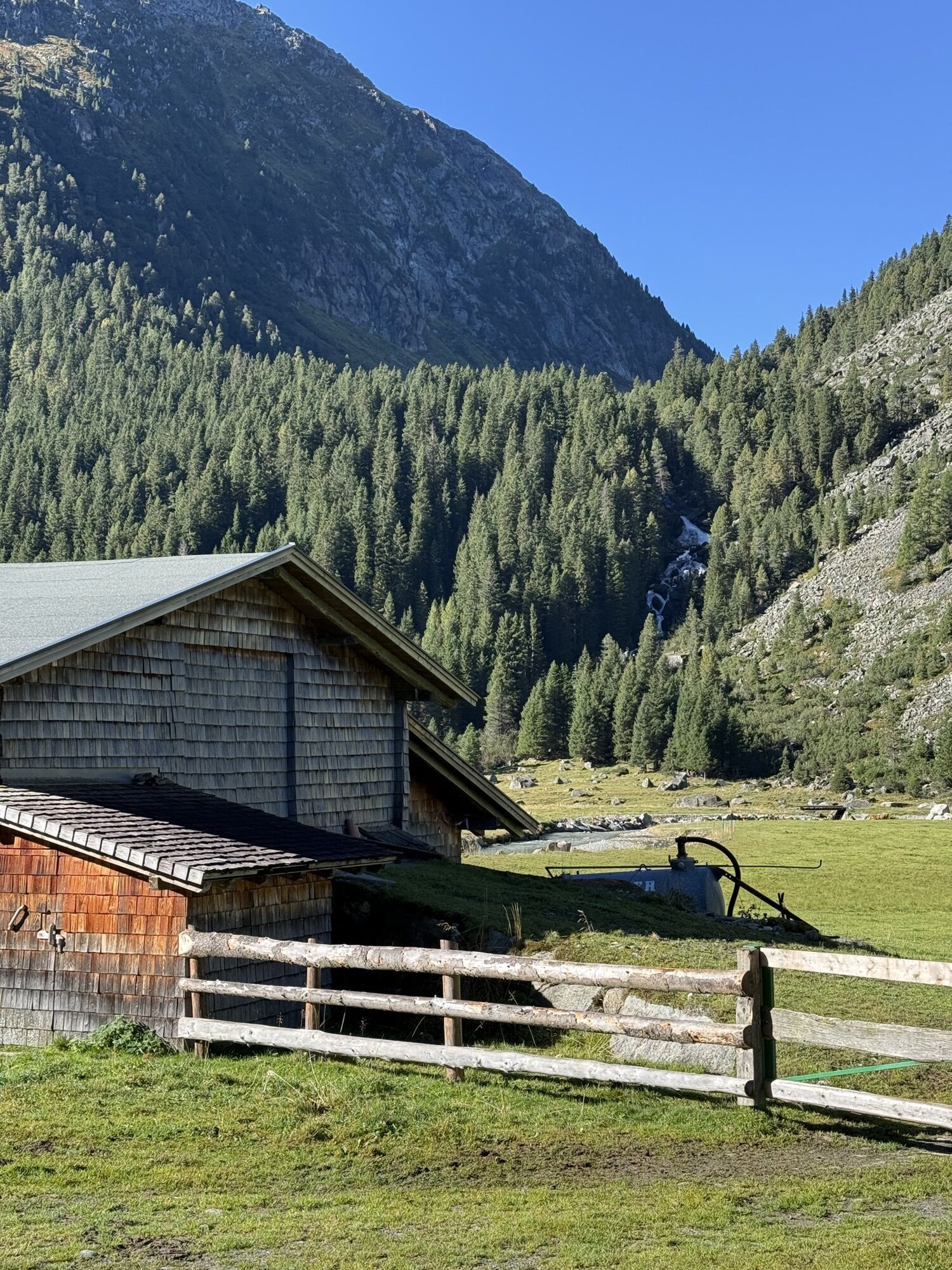
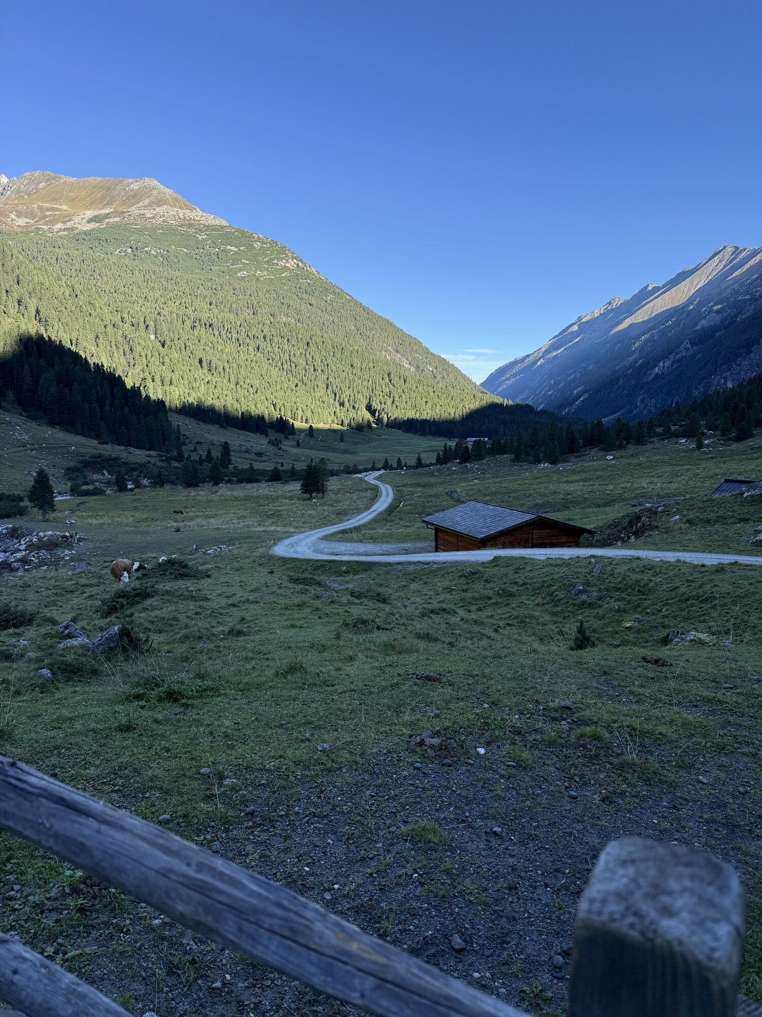
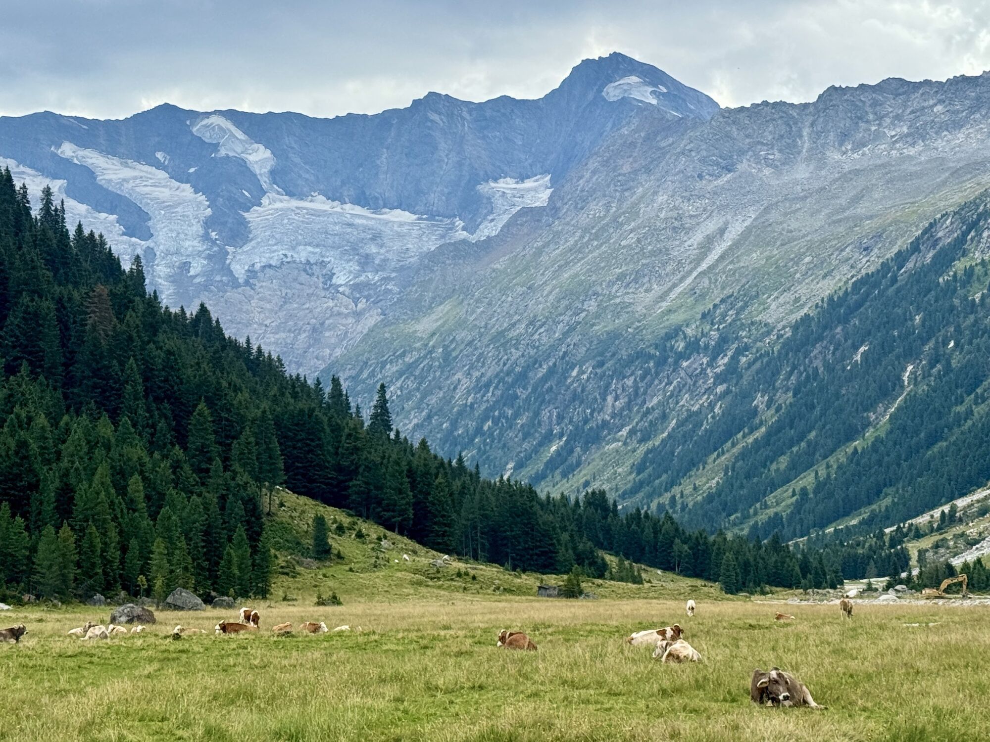
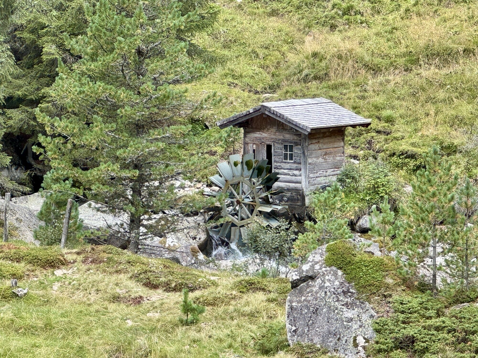
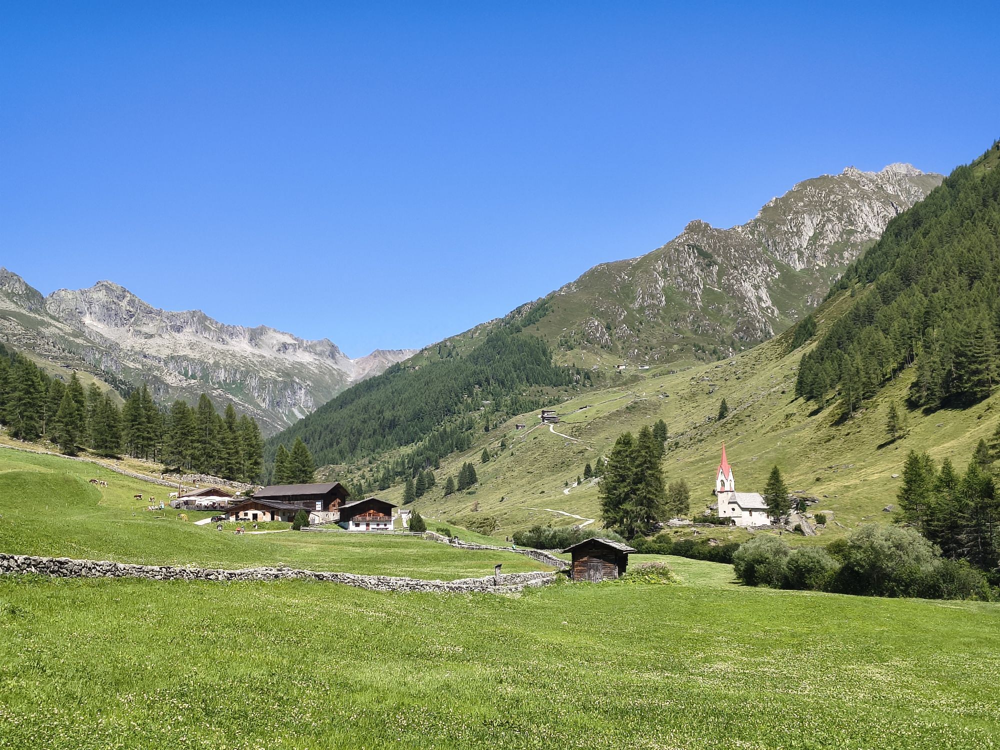
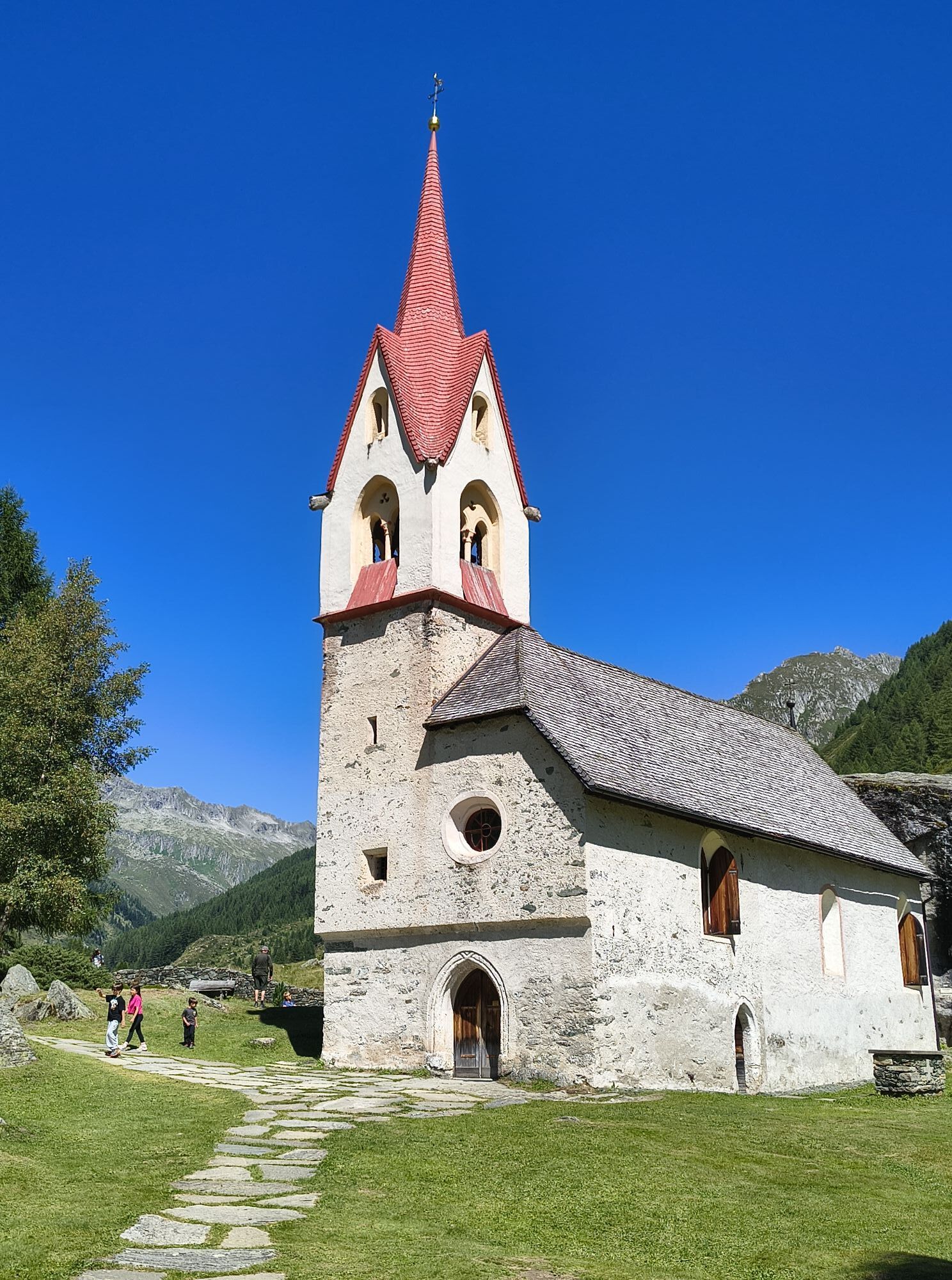
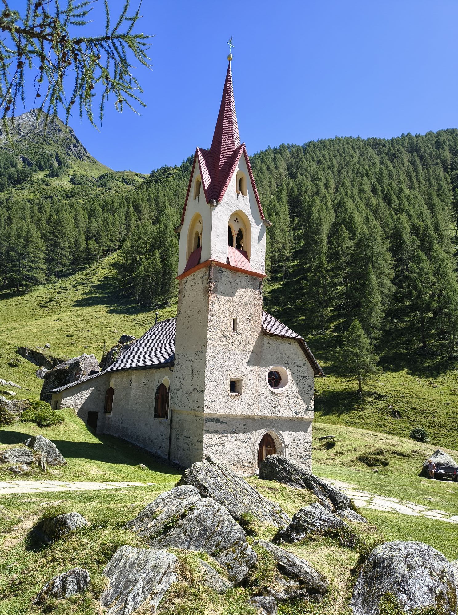
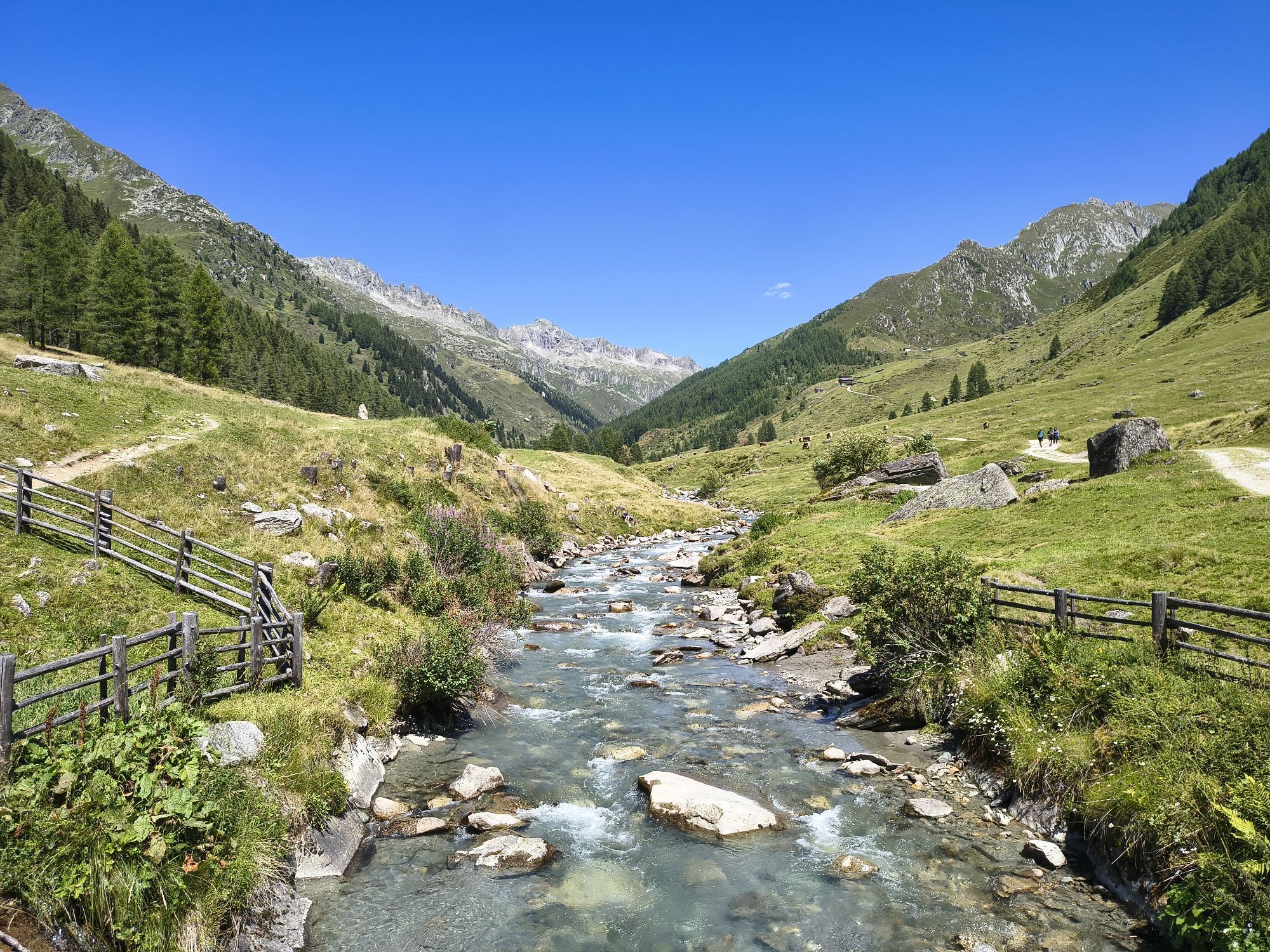
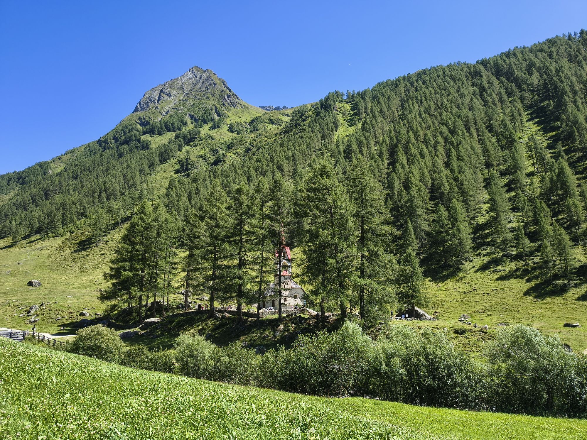
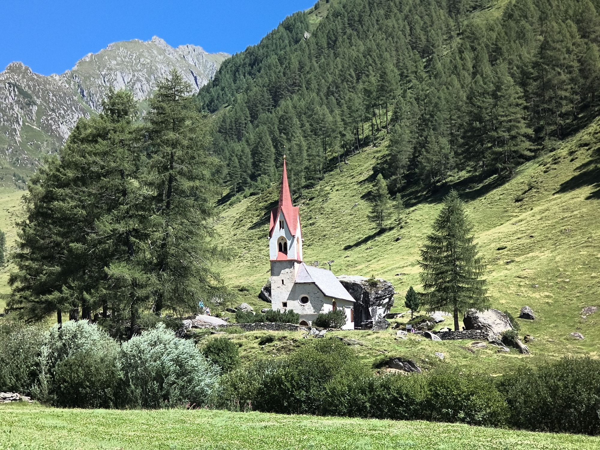
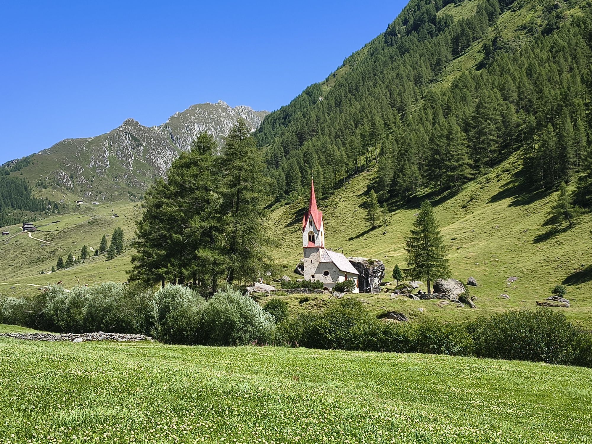
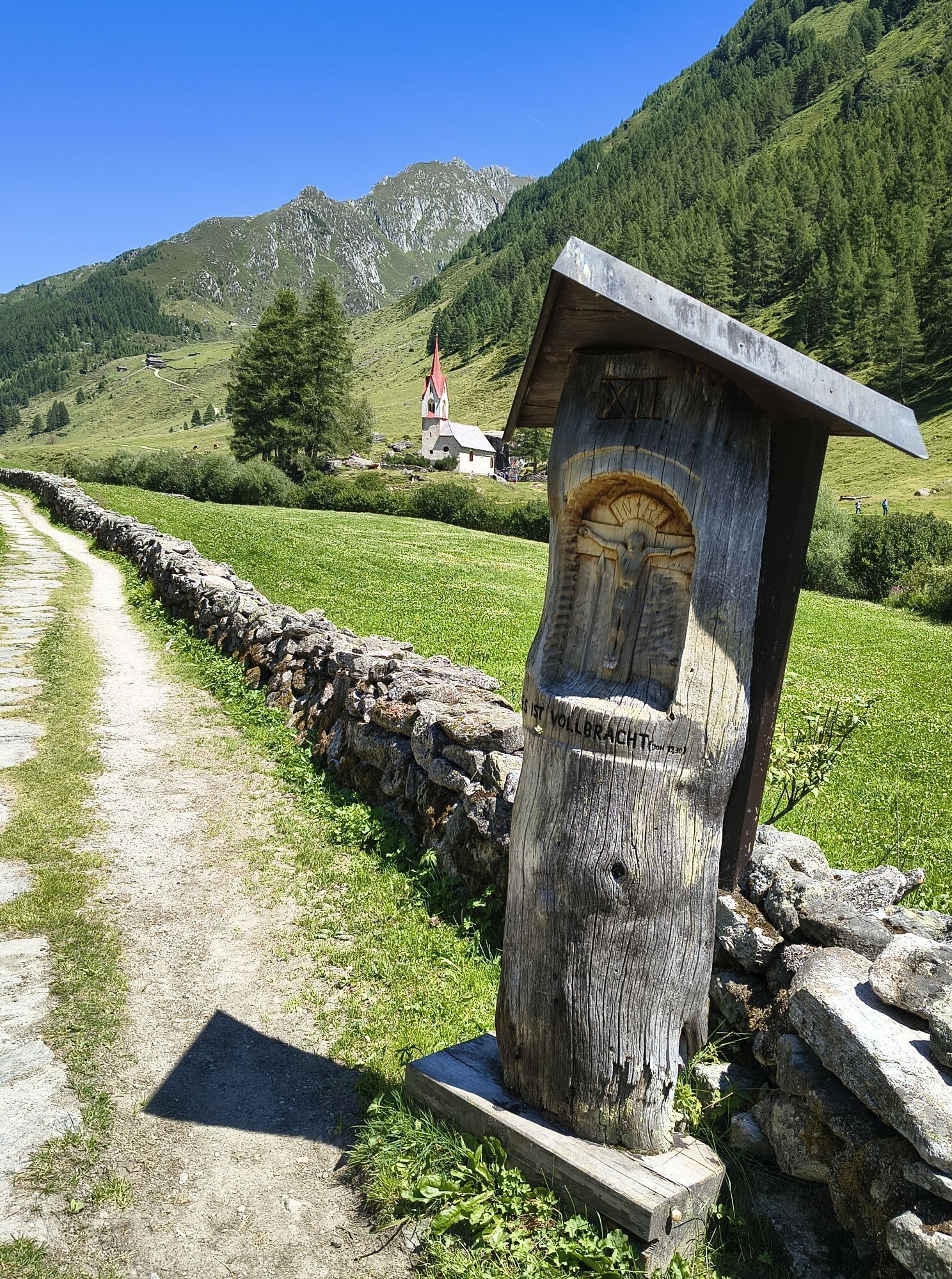
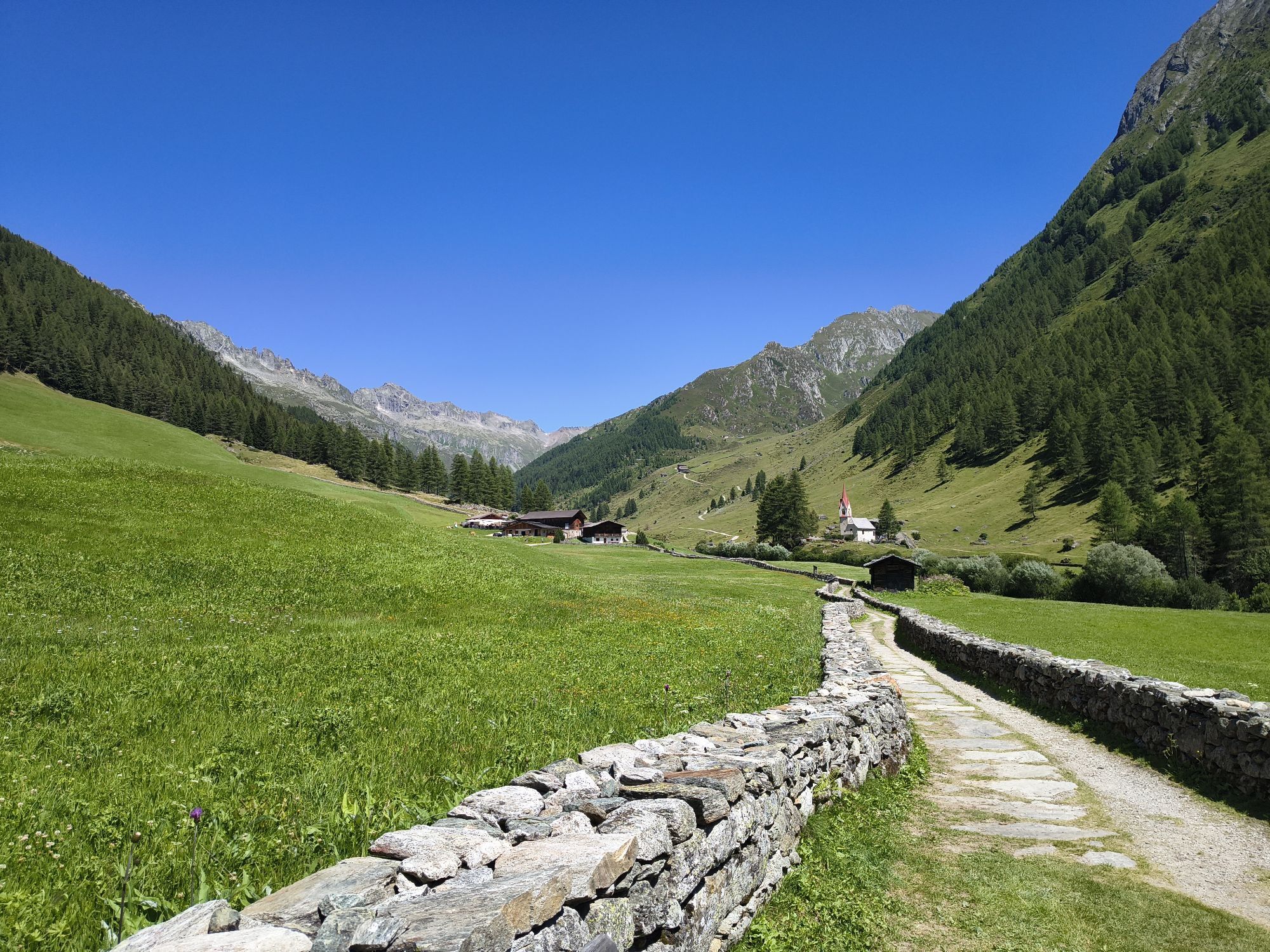
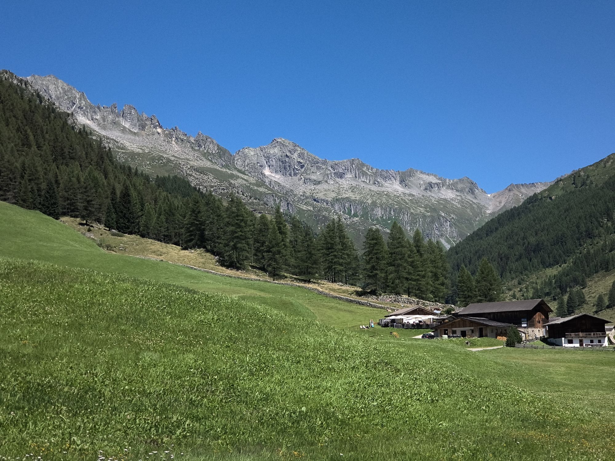
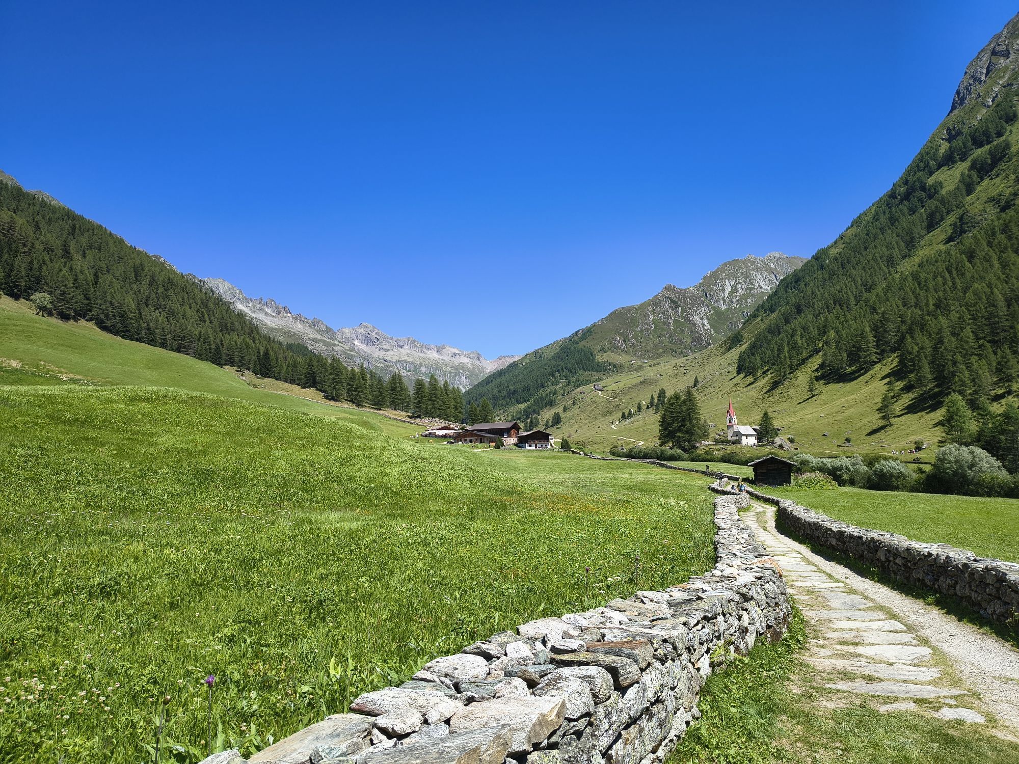
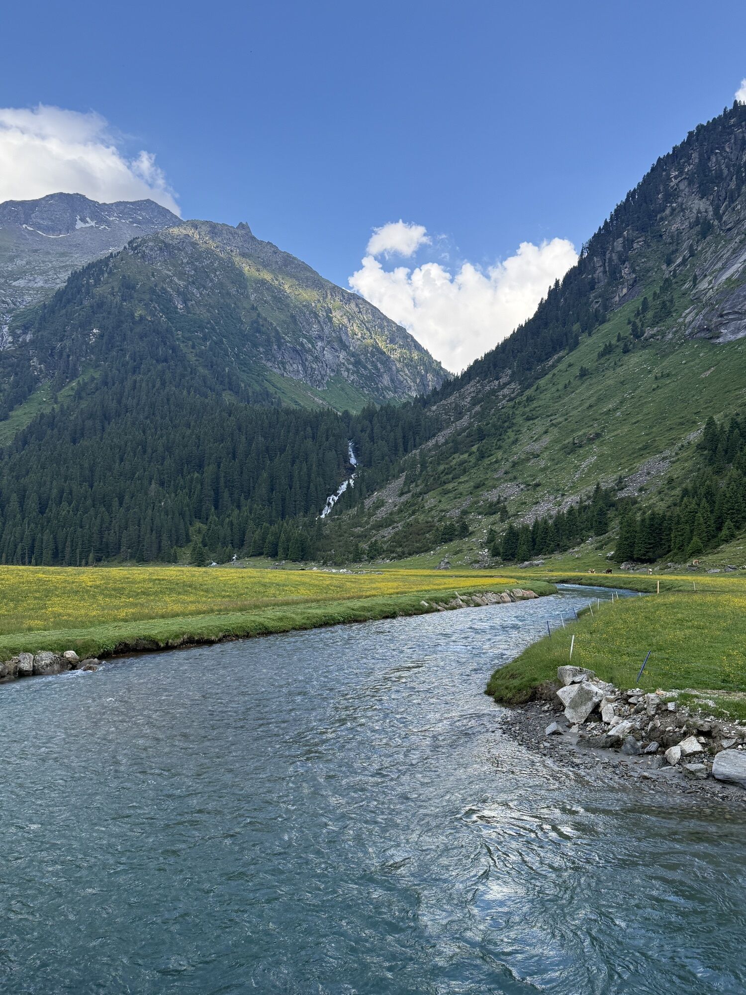
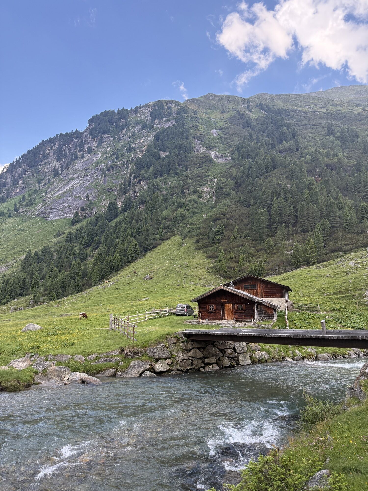

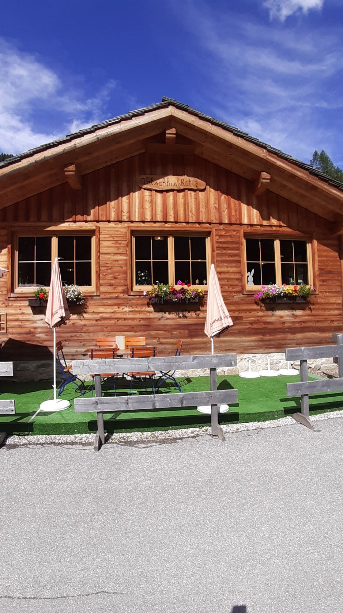
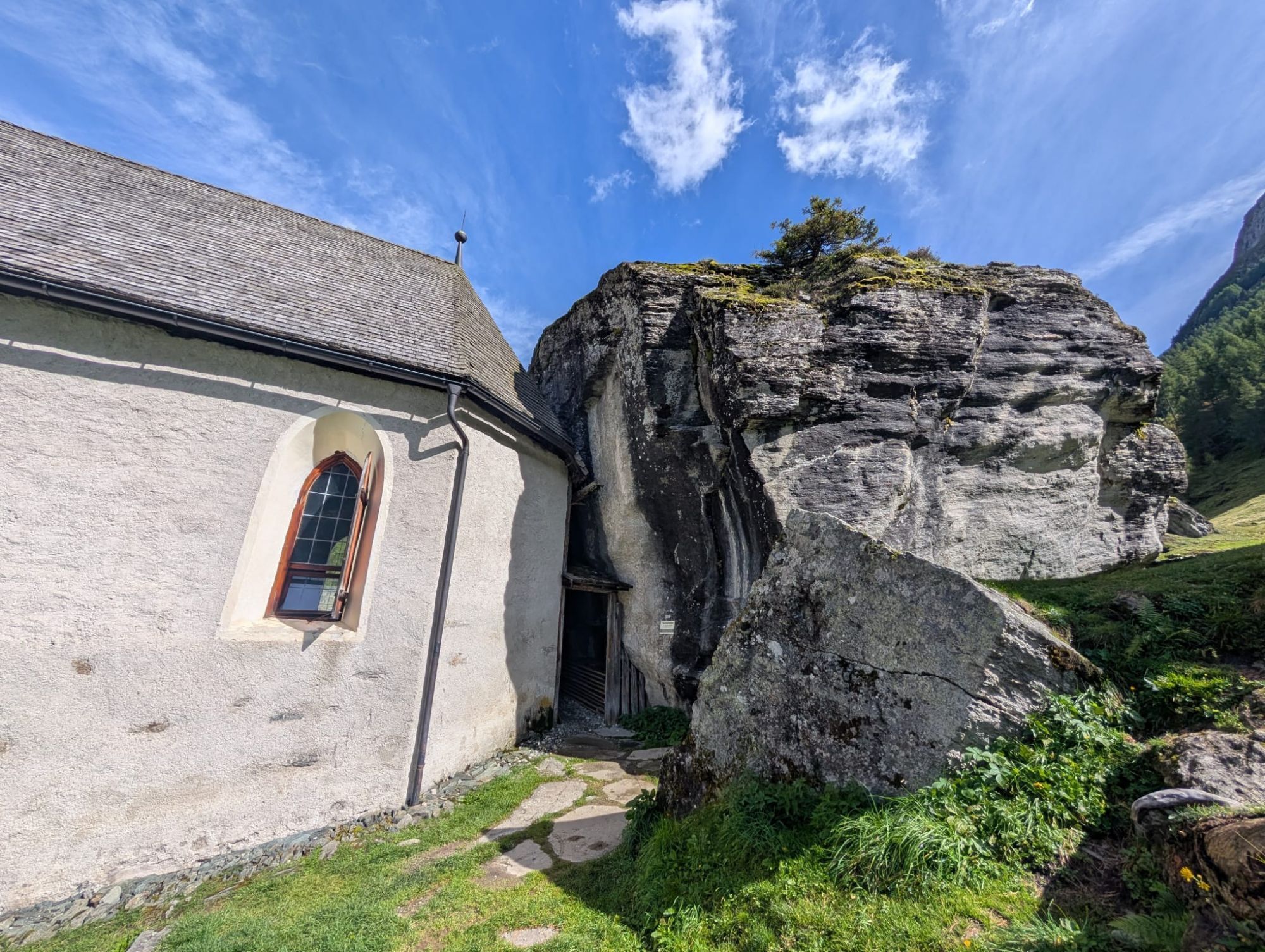
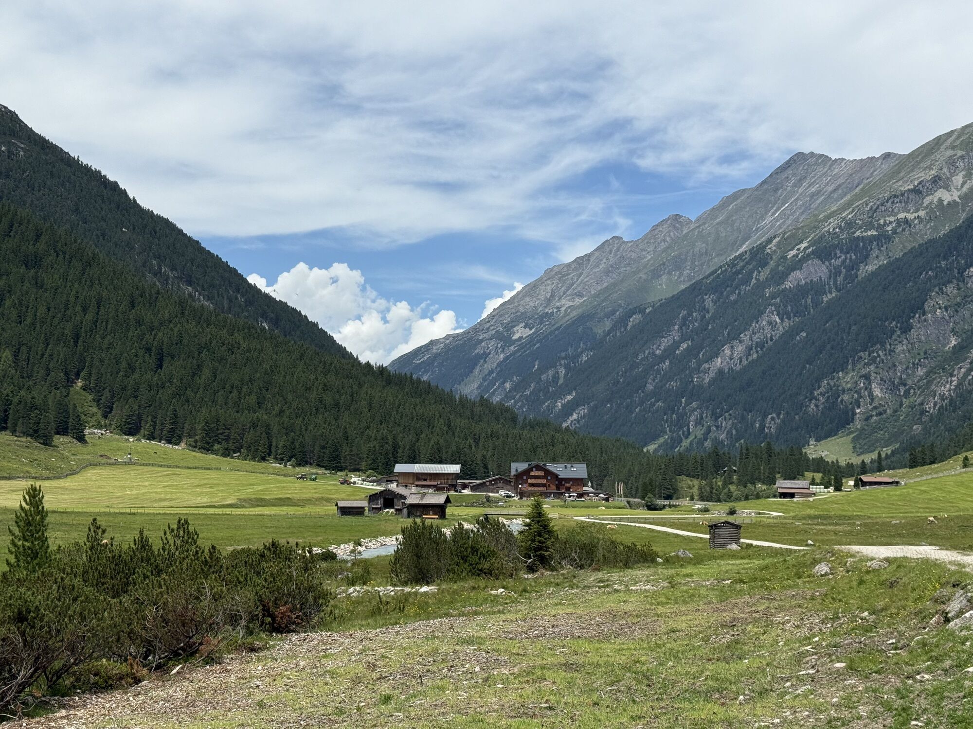
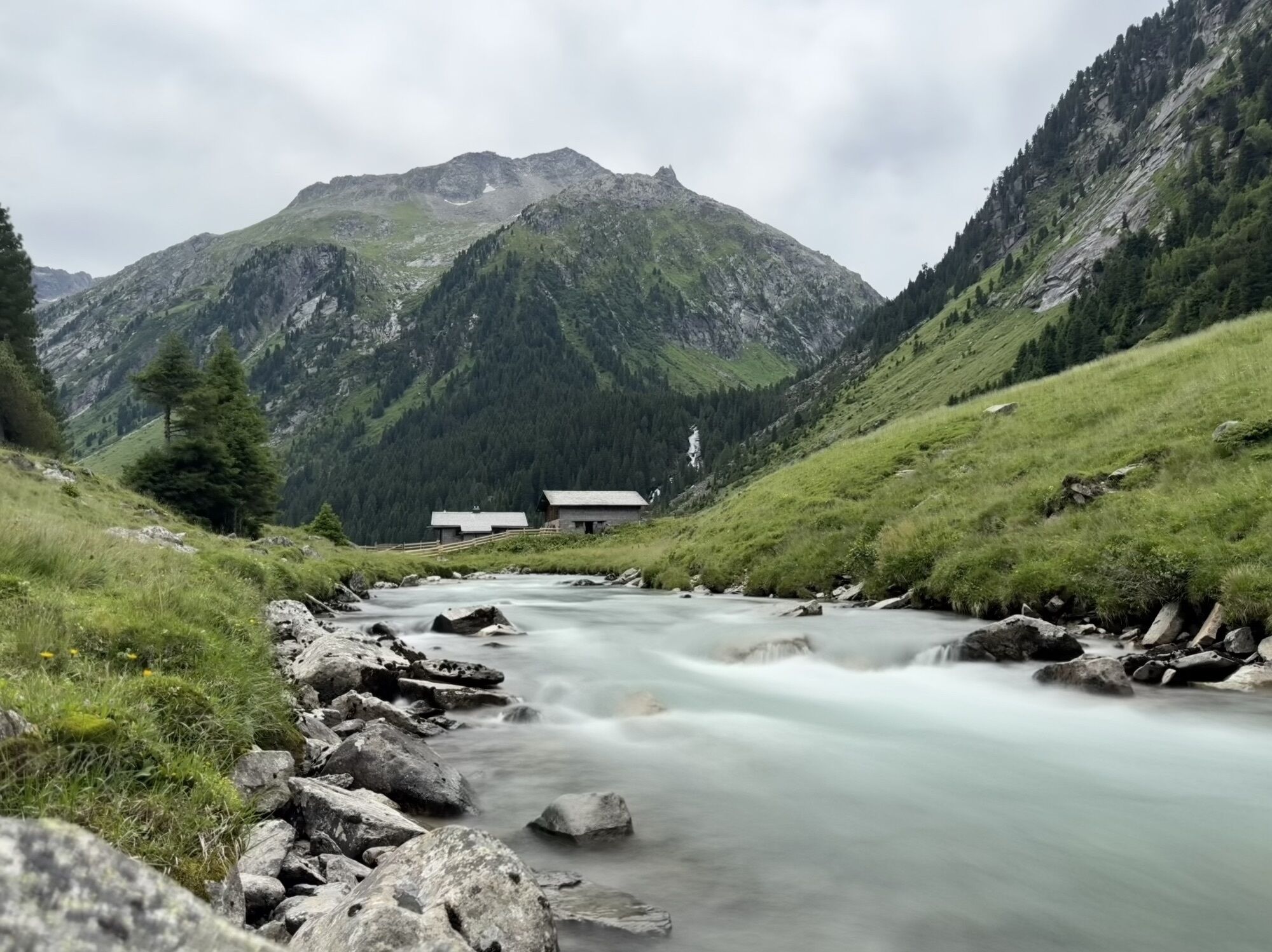

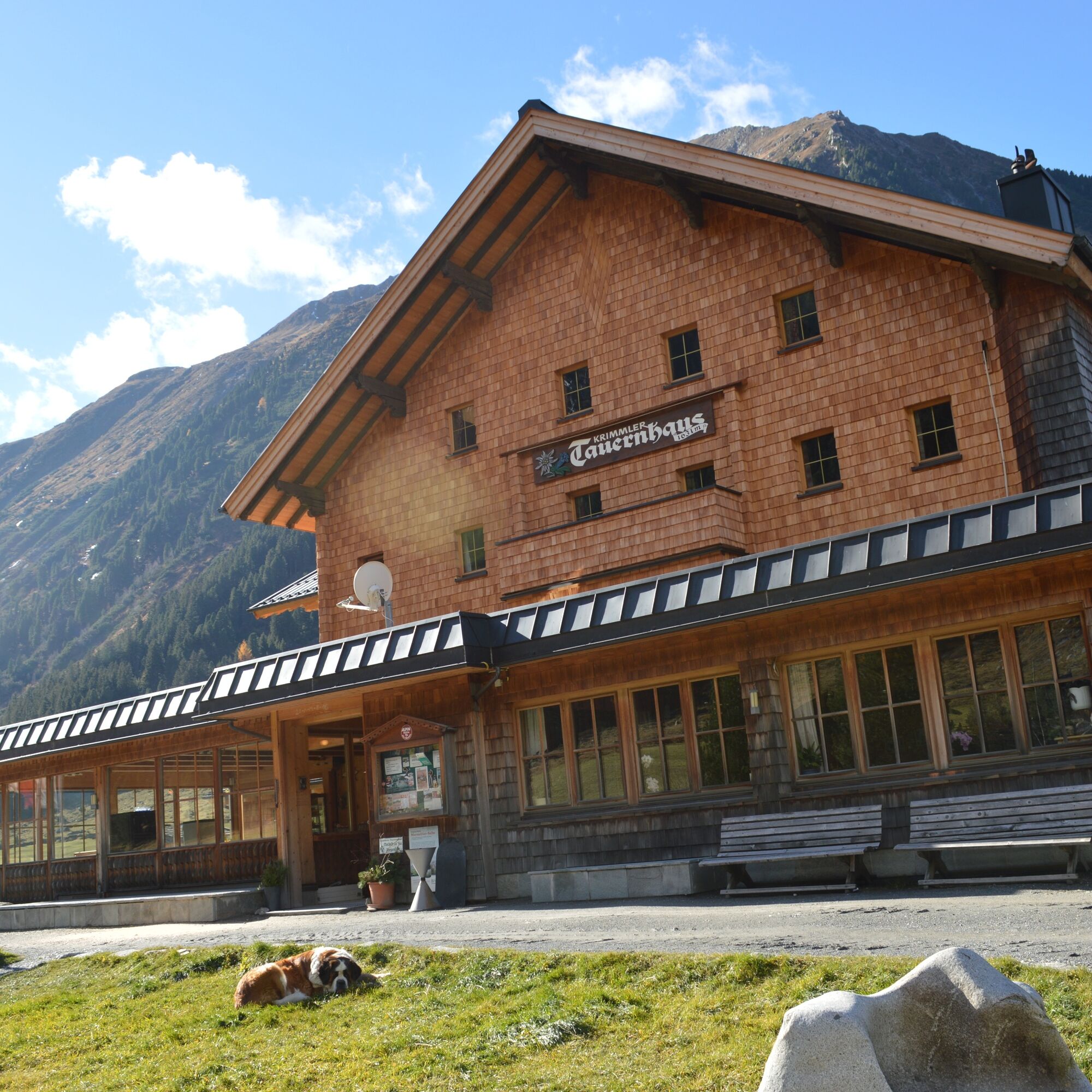
From the Krimmler Tauernhaus it goes first for about half an hour along the alpine path into the valley. In the area of the Außerunlaß Alm, the hiking path branches into the Windbach Valley, a side valley...
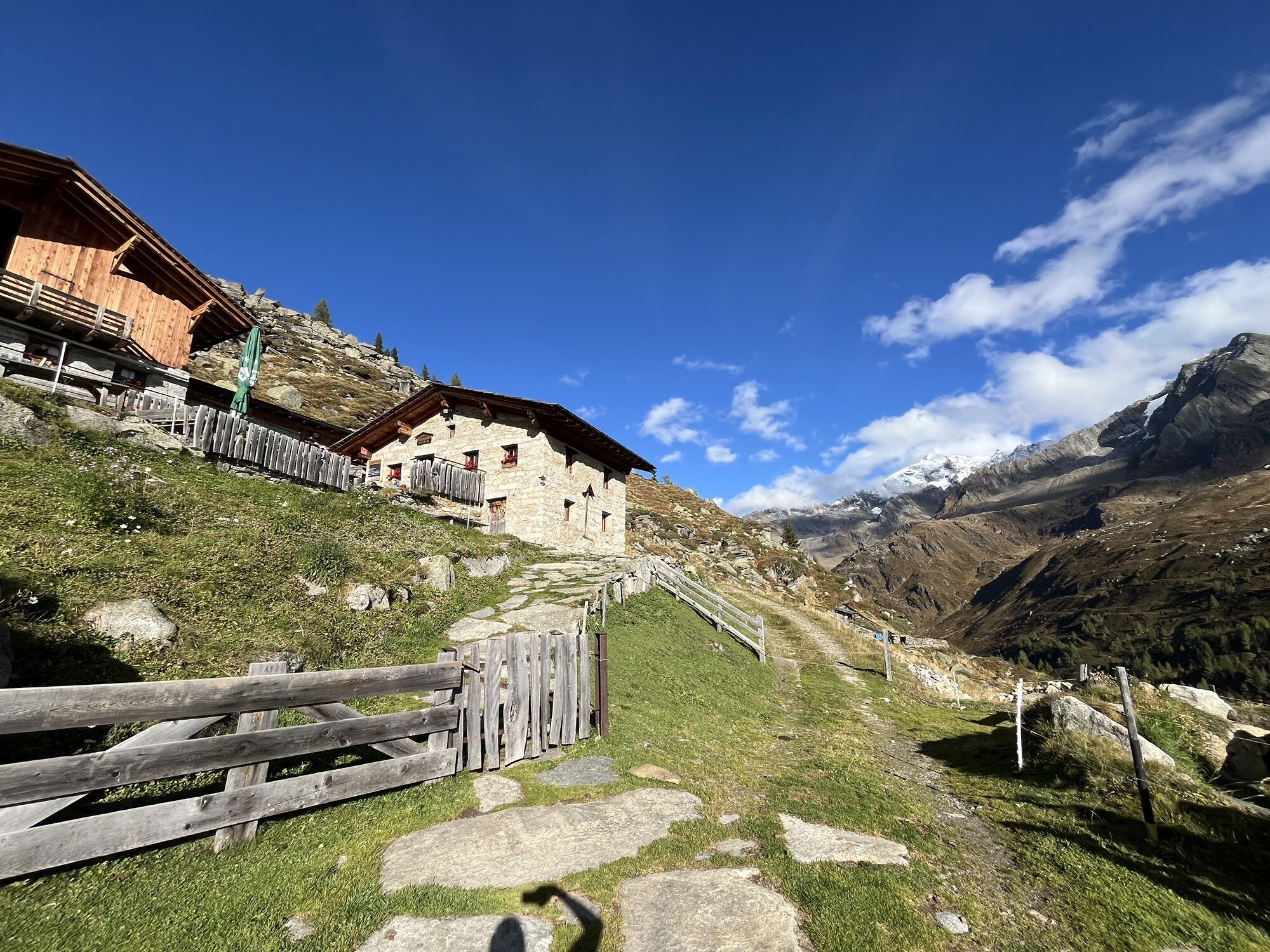
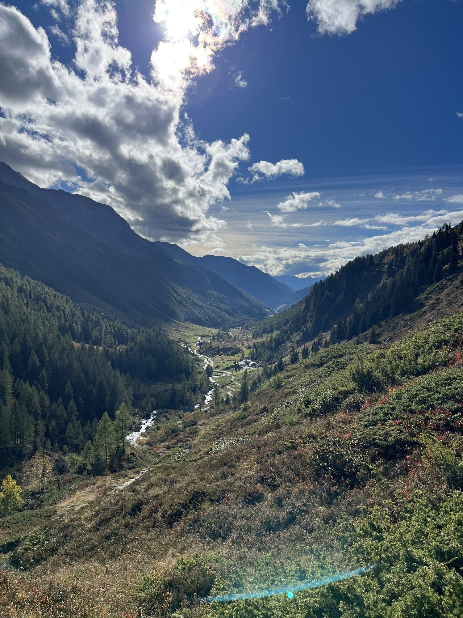
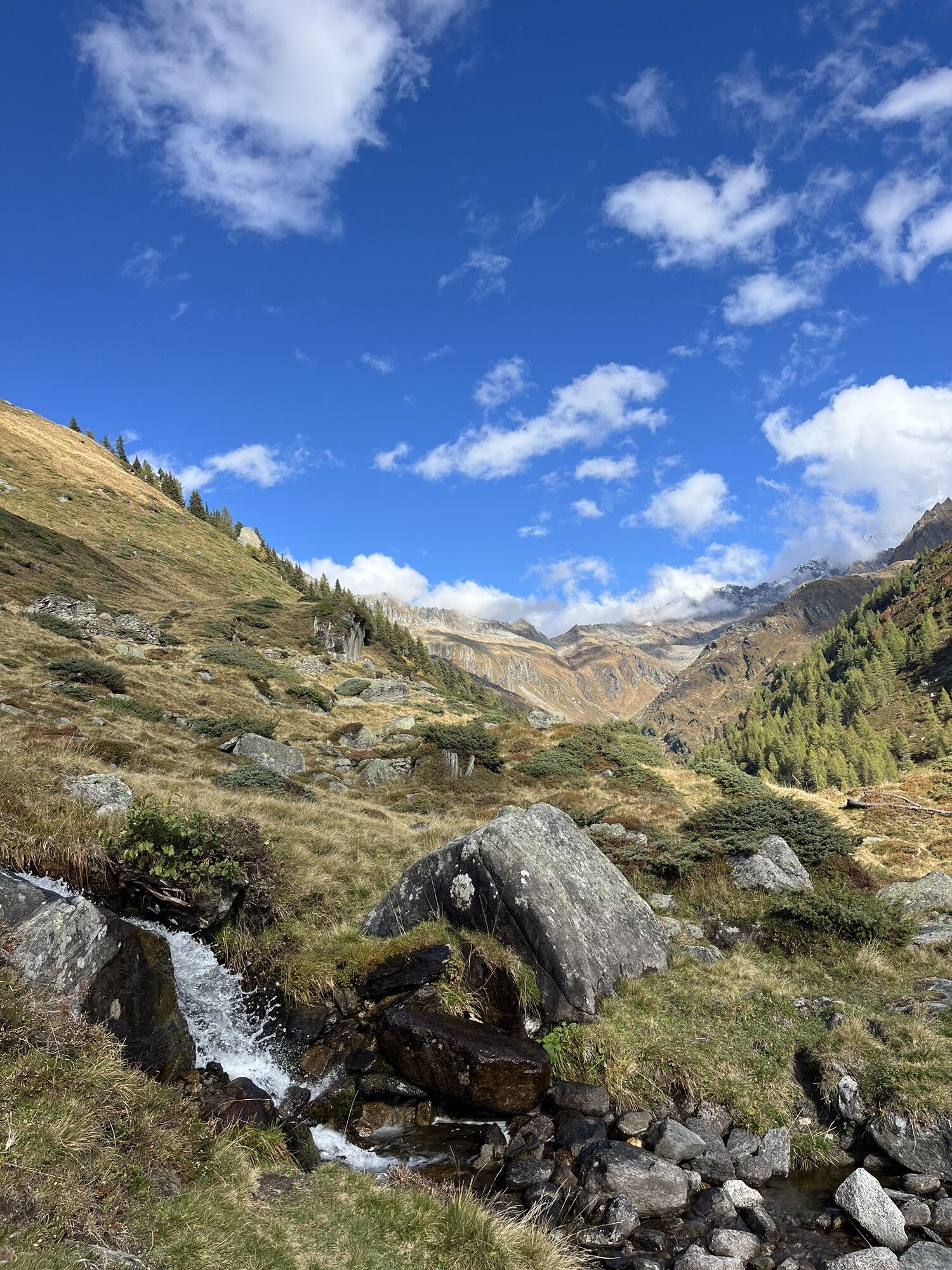
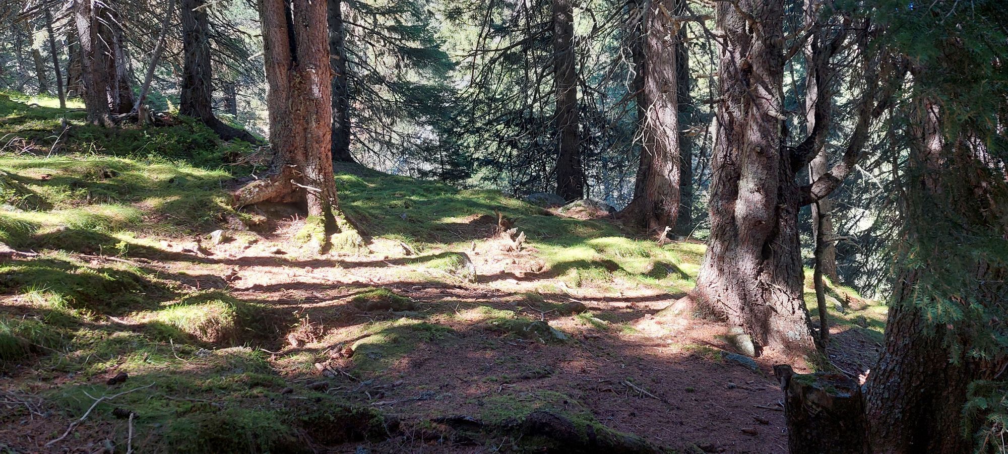
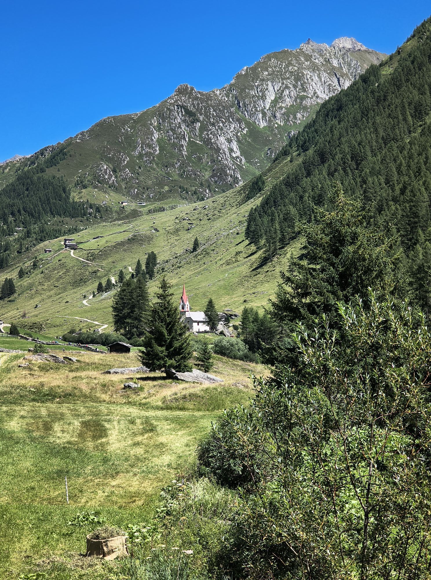
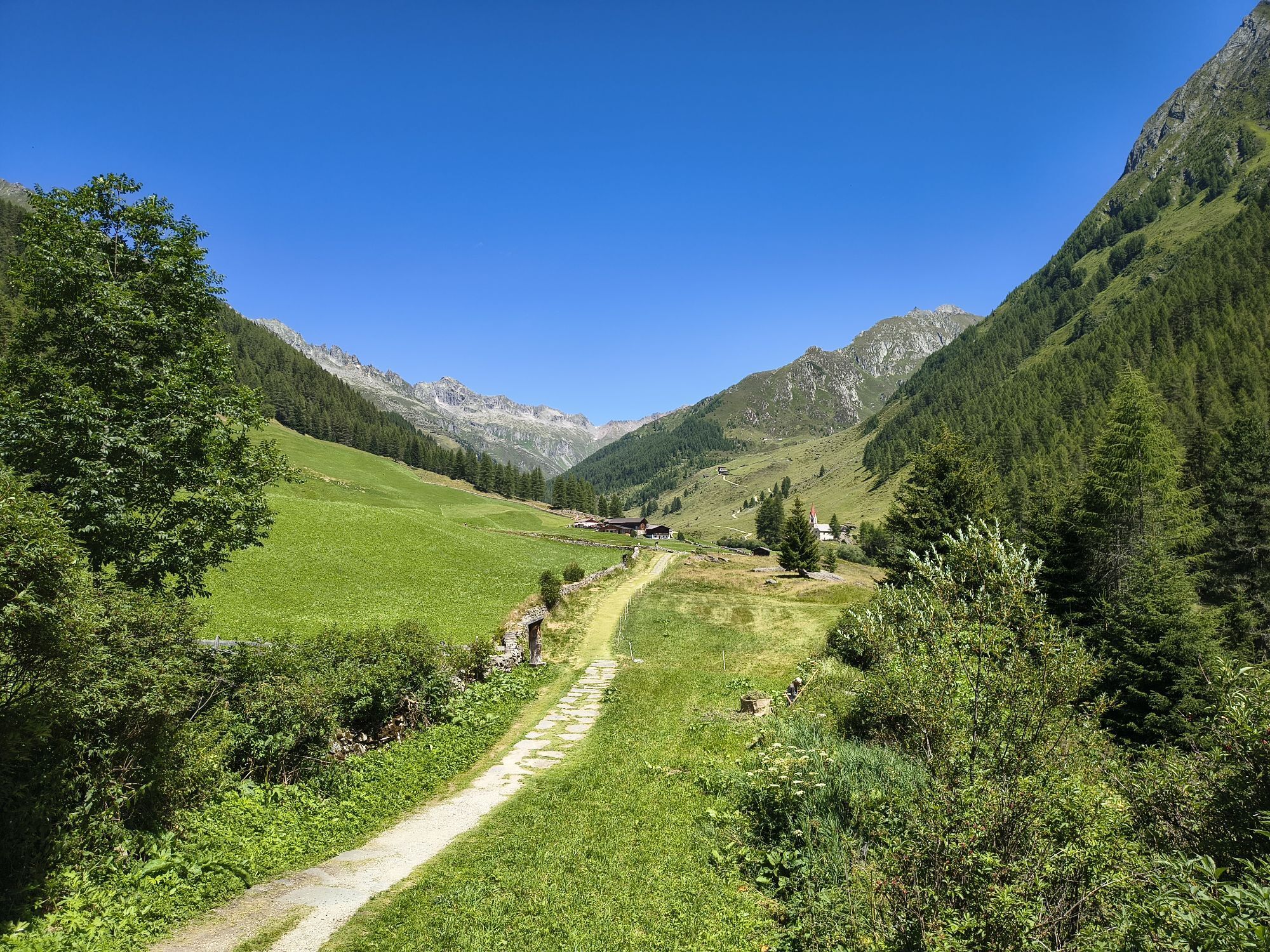
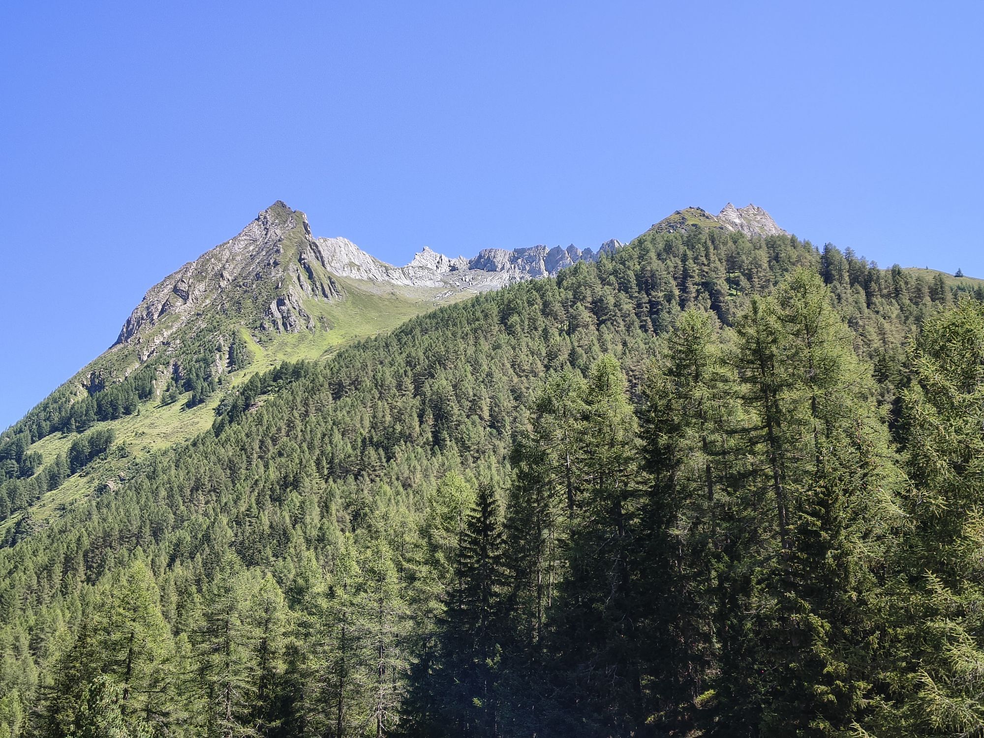
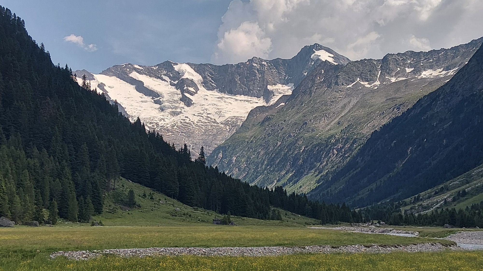
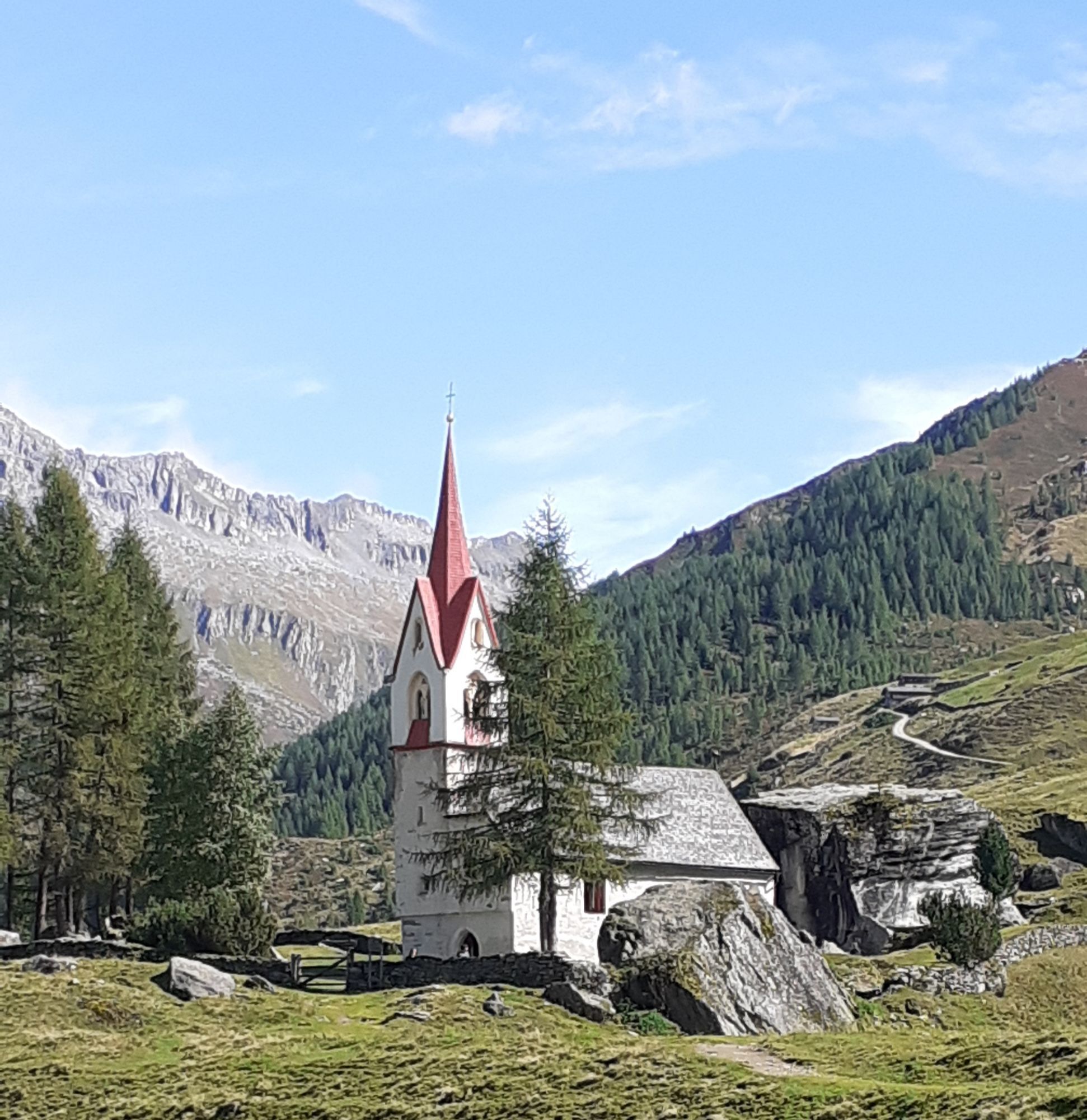
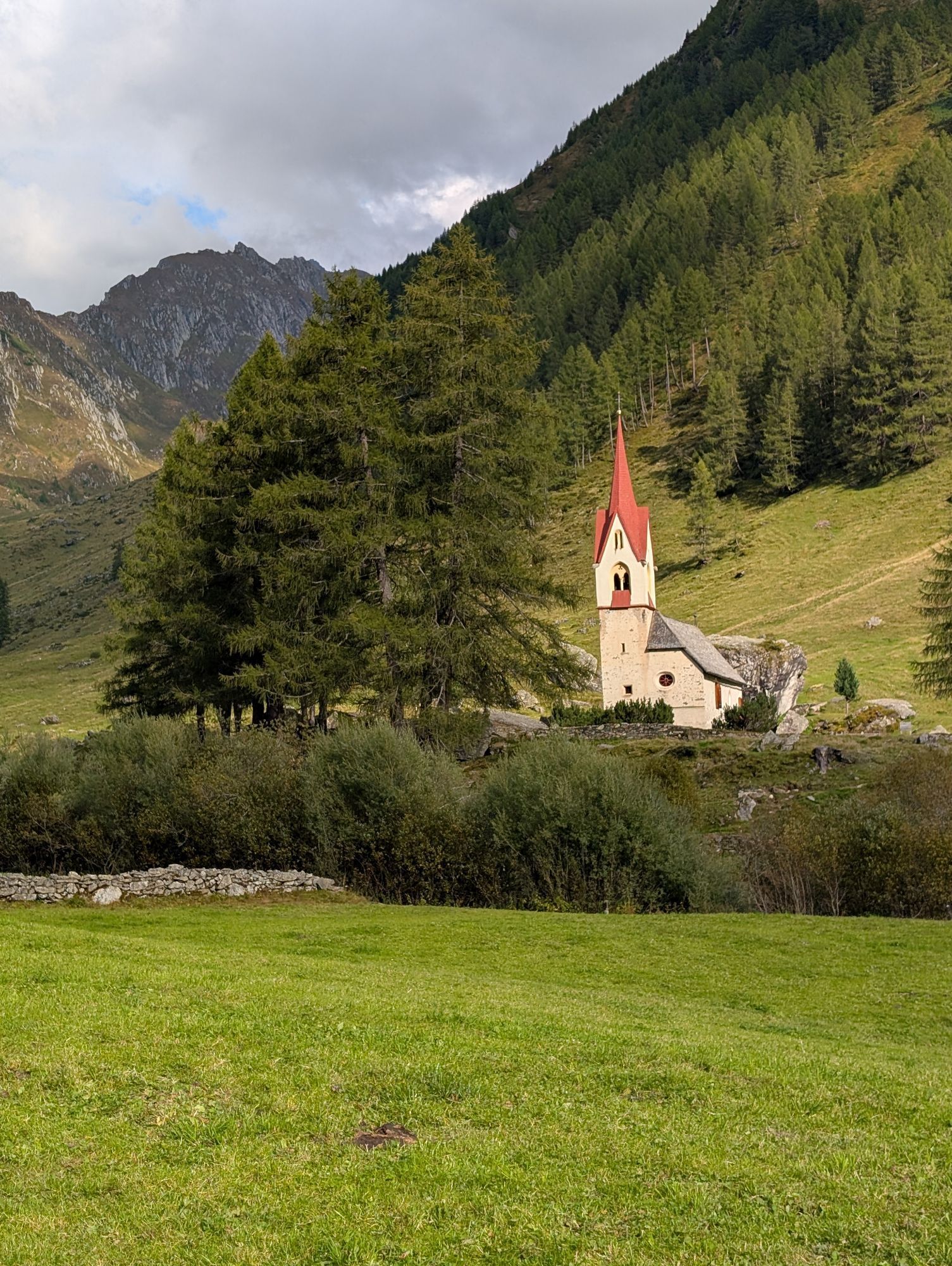
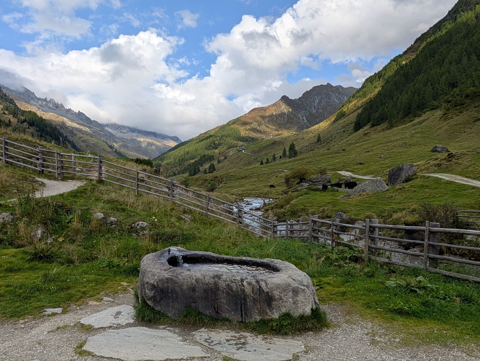
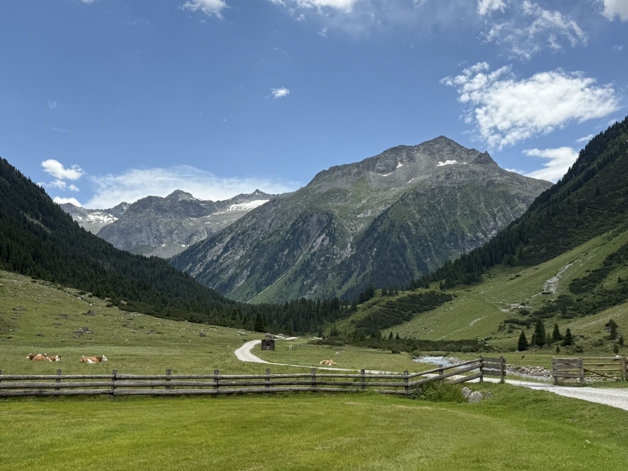
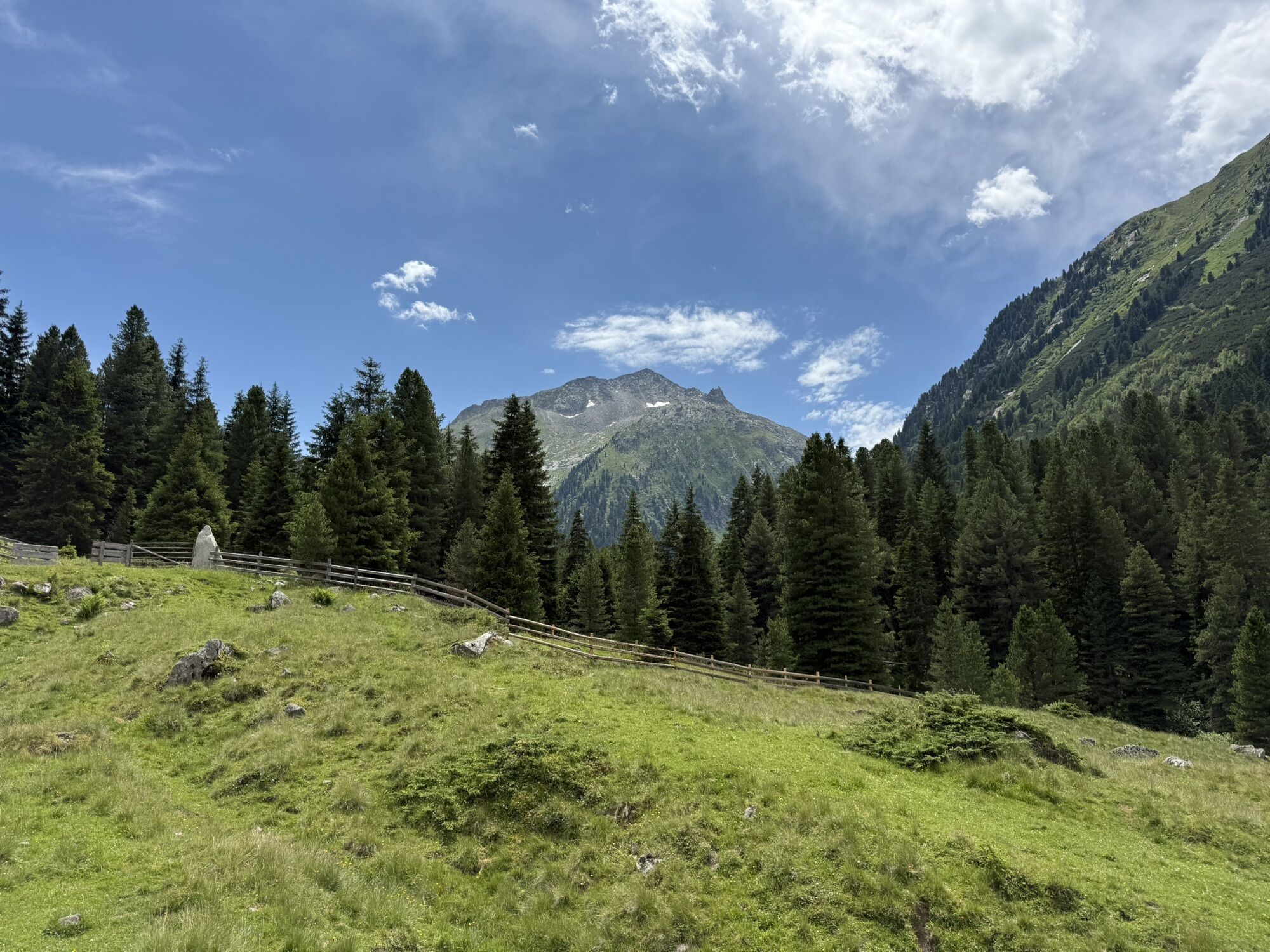
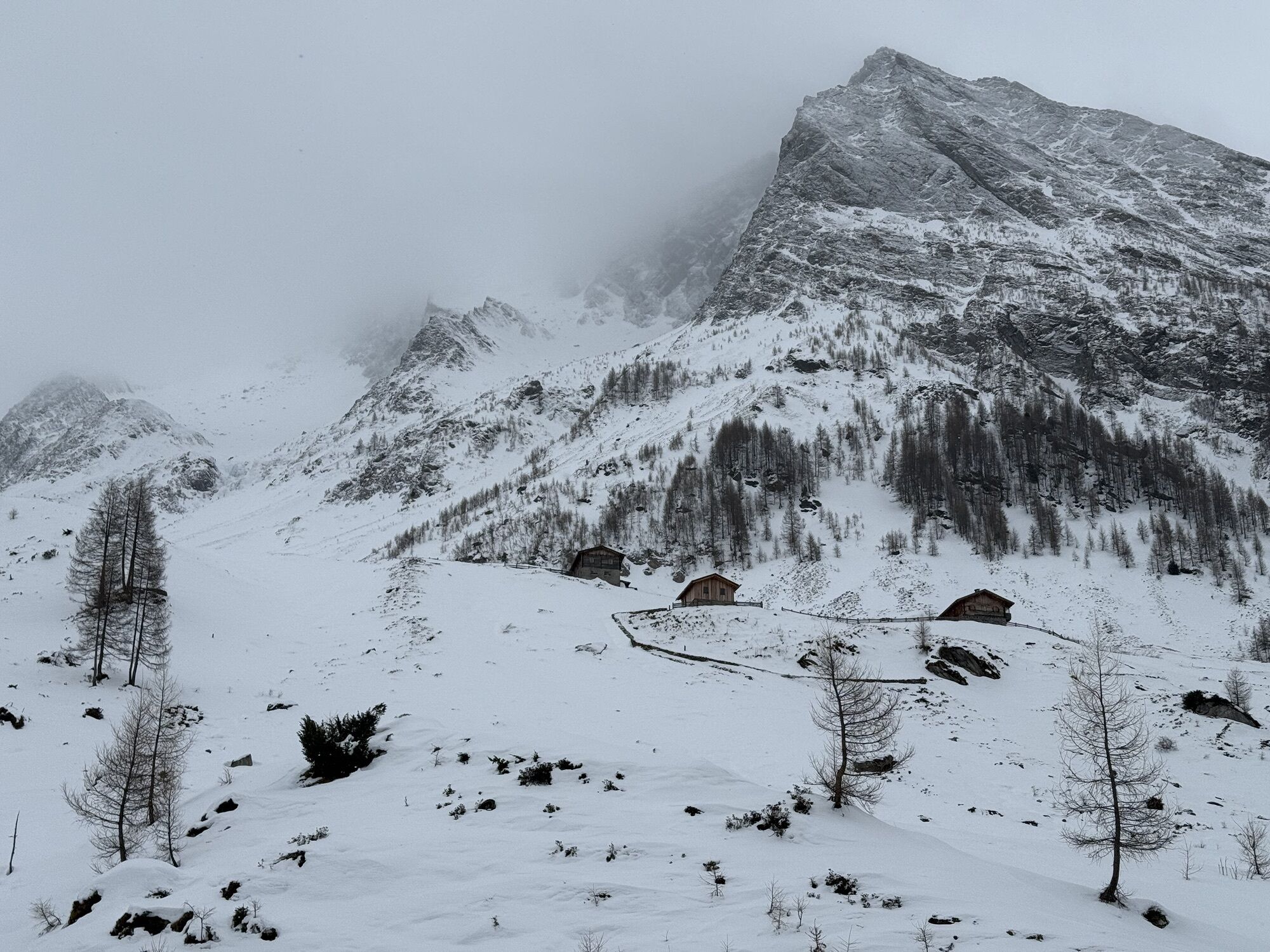
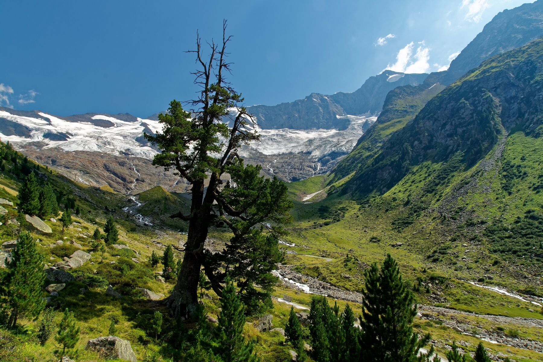
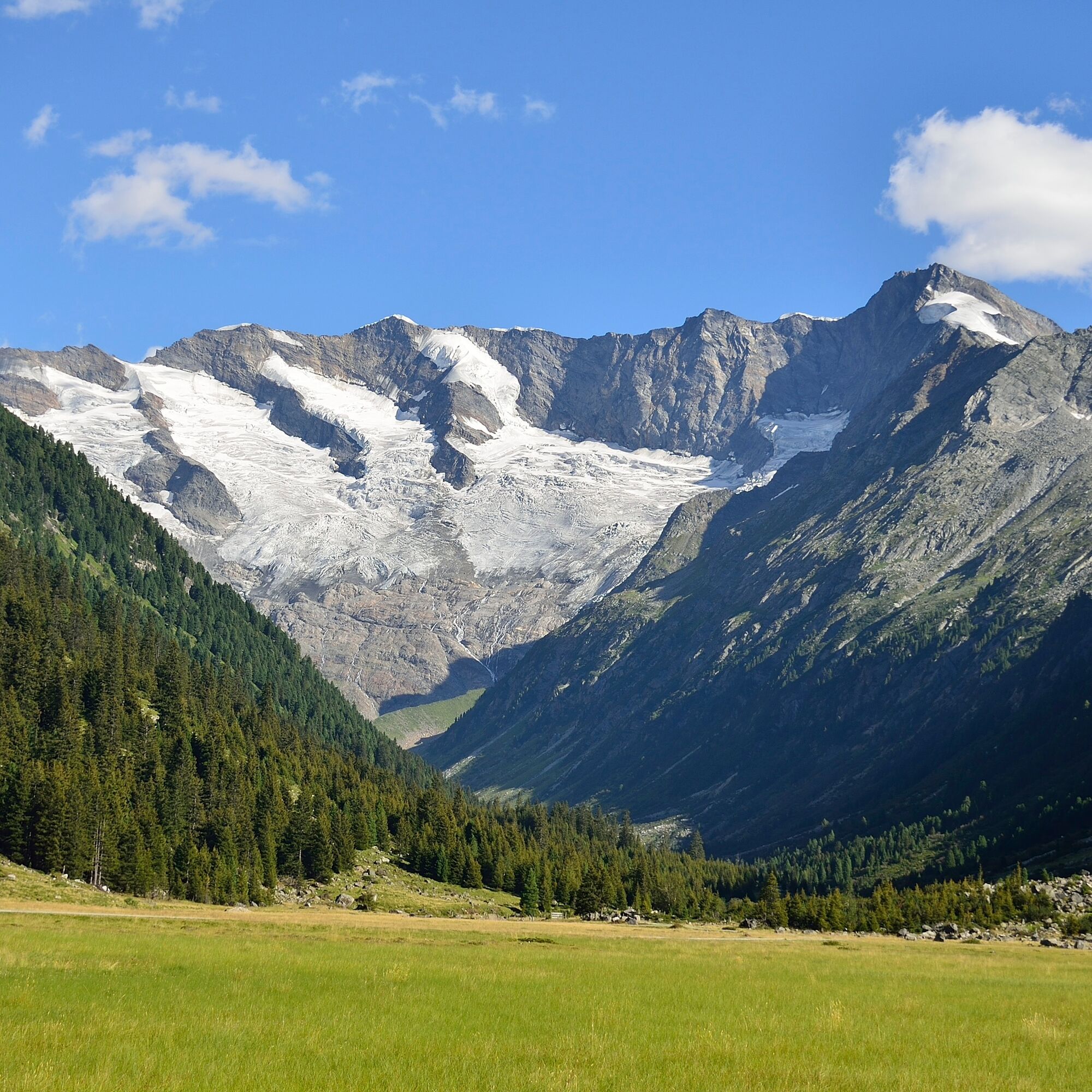
From the Krimmler Tauernhaus it goes first for about half an hour along the alpine path into the valley. In the area of the Außerunlaß Alm, the hiking path branches into the Windbach Valley, a side valley of the Krimmler Achen Valley. First, it goes somewhat steeper uphill through a beautiful stone pine forest. In the area of the Windbachalm you finally get a good view into the glacier-shaped trough valley. You hike to the end of the Windbach Valley and further up to the Krimmler Tauern. Here you enter Italian territory. On the south side, it goes rapidly downhill. On the descent, there is the possibility to stop at the Untertauernalpe. Once you have finally reached the valley floor, you pass several alpine meadows again and finally reach the village of Kasern.
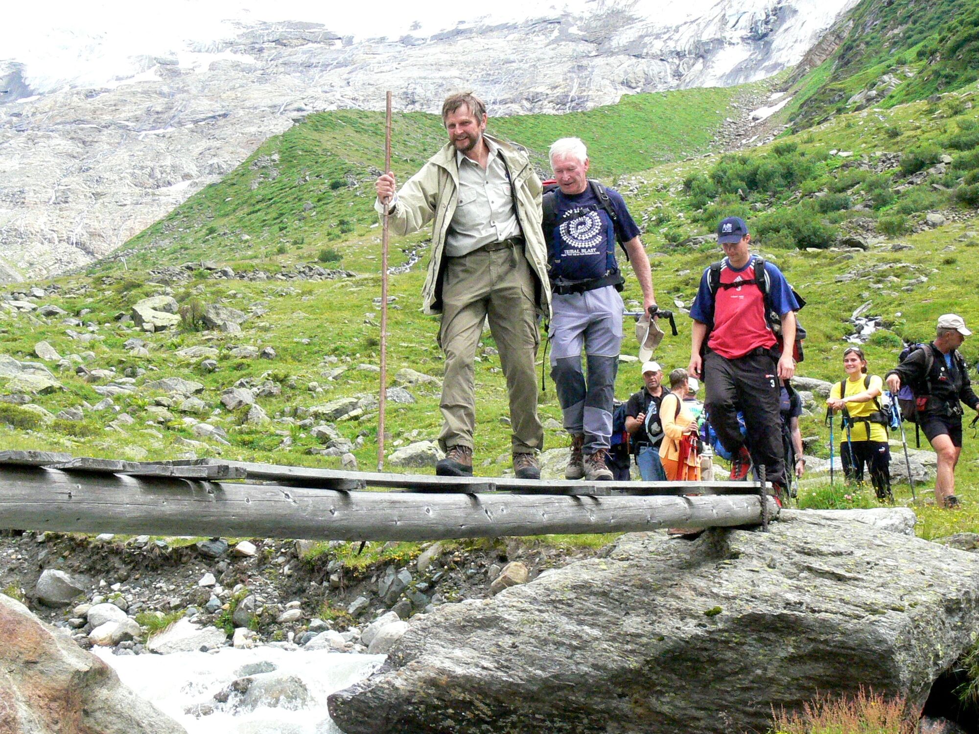
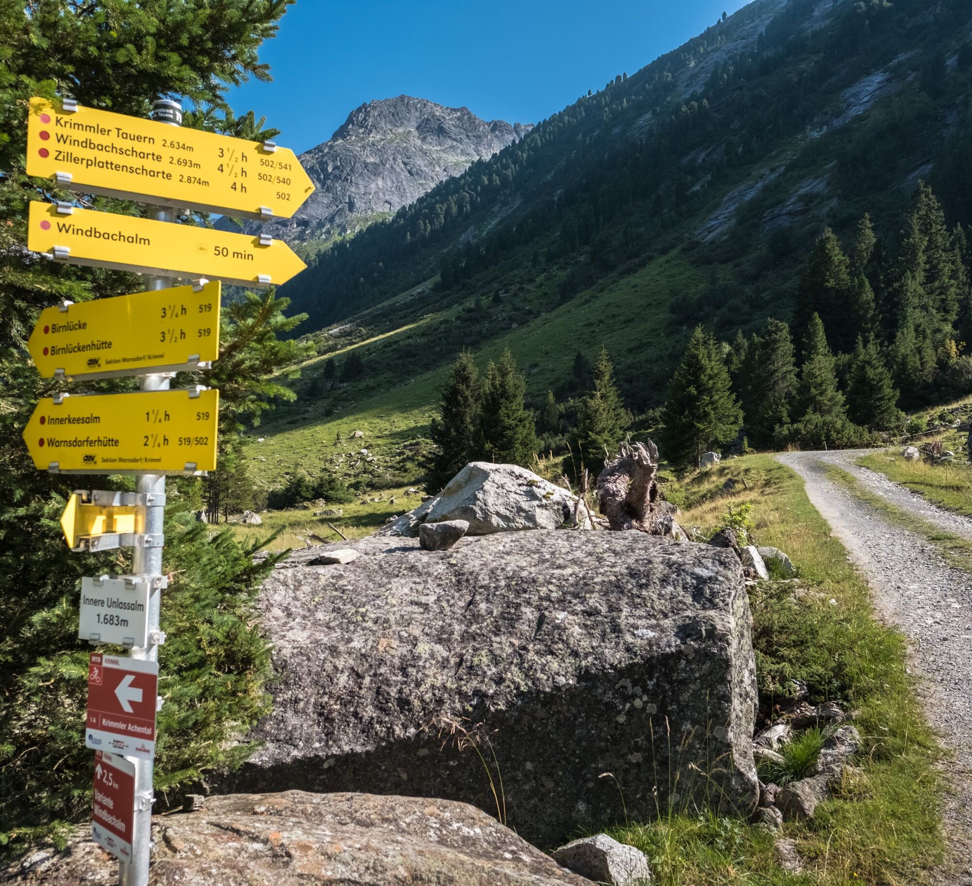

Path No.: 502, 541
Krimmler Tauernhaus - right over the Windbach Valley - Krimmler Tauern - old customs hut - downhill into the Ahrntal - village Kasern
Hiking boots, weatherproof clothing, drinking bottle, hiking poles recommended
Fitness and sure-footedness required!
Coming from Tyrol via the Gerlos Alpine Road, from the east via the B165 from Mittersill.
By Postbus to the stop "Krimml Waterfalls" or "Krimml village center".
For travel by Pinzgauer Lokalbahn a rail replacement service has been set up between the stops "Niedernsill" and "Krimml station".
Affordable long-term parking in Krimml village.
Krimmler Tauernhaus: Tel.: +43 (0)6564/21200 or www.krimmler-tauernhaus.at
Tourism Association Krimml/Hochkrimml: Tel.: +43 (0)6564/7239-0 or www.krimml.at
The Krimmler Tauernhaus serves beef and game specialties from its own farm and hunting.
It is possible to be brought to the Krimmler Tauernhaus by the National Park taxi (reservation required!).
The Windbachalm is not managed.




Priljubljeni izleti v okolici
- 4.3
Gerlos: Stausee Rundwanderung
srednjaPohodništvo 12.5 km - 4.8
NaturKraftWeg Umbalfälle
svetlobaTematska pot 5.99 km - 4.8
Zittauer Hut
srednjaPohodništvo 6.85 km - 4.4
Krimml Waterfall Path - Panorama Viewing Path
srednjaPohodništvo 5.71 km - 4.4
Krimmler Tauernhaus
srednjaPohodništvo 10.4 km - 4.8
Stoden - Clarahütte
srednjaPohodništvo 7.12 km - 4.9
Krimmler Achental
srednjaE-kolesa 18.4 km - 4.6
Krimmlerwasserfälle
srednjaPohodništvo 10.5 km - 4.9
Oberhausalm - Jagdhaushütte
svetlobaPohodništvo 14.0 km - 5.0
Krimml: Zum Krimmler Tauernhaus
Mountainbike 12.4 km
Pohodništvo in sledenje


Ne zamudite ponudb in navdiha za naslednje počitnice
Vaš e-poštni naslov je bil dodan na poštni seznam.





